bobspirko.ca | Home | Canada Trips | US Trips | Hiking | Snowshoeing | MAP | About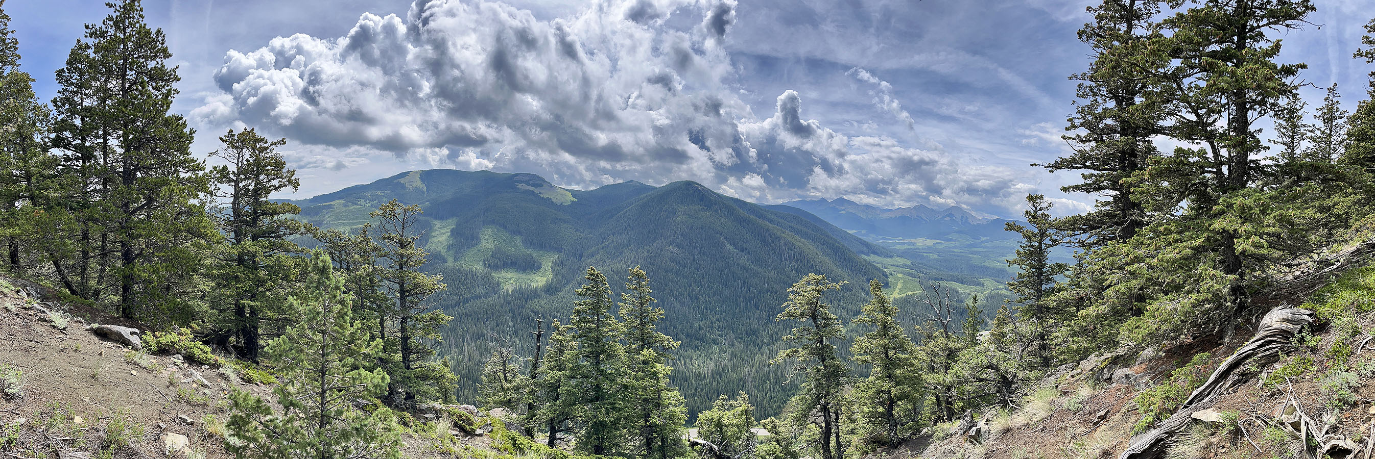
Horton Ridge
Kananaskis, B.C.
July 18, 2025
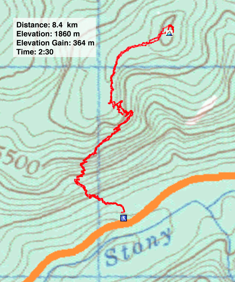
Distance: 3.7 km (2.3 mi)
Cumulative Elevation Gain: 364 m (1194 ft)
While driving down Highway 68, I noticed a trail with a roadside cairn at the base of Horton Ridge. It didn't appear on any maps I checked. Since I’d never been up Horton Ridge, I returned a few days later to see where it went. If it didn’t reach the summit, perhaps it could be an approach route.
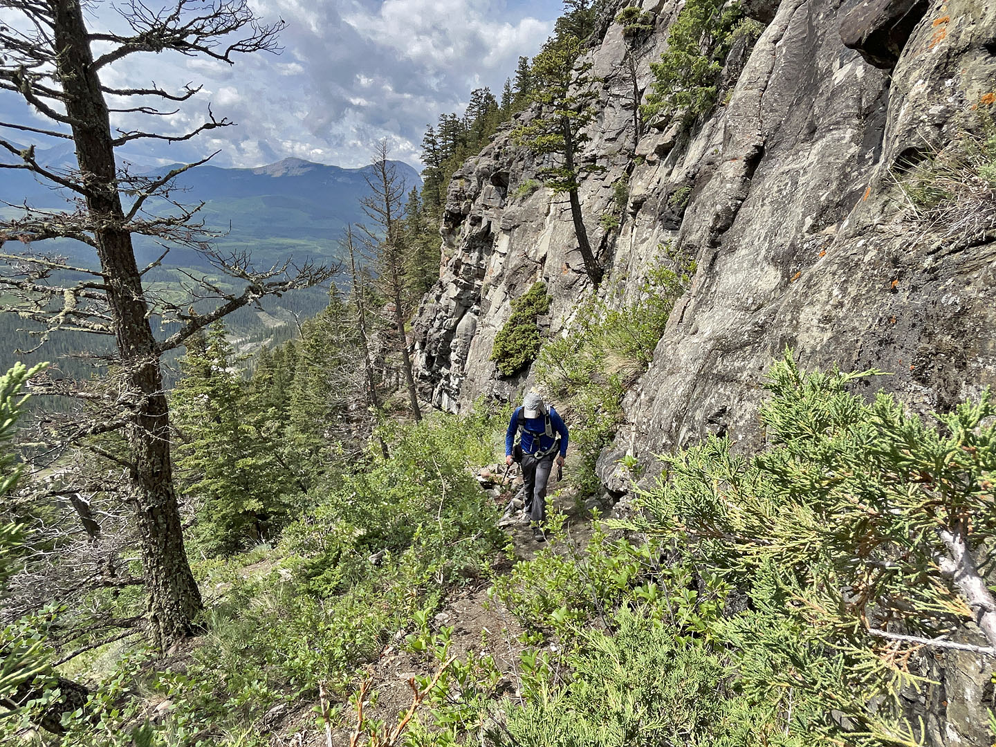
This wasn’t an obscure trail. It was well-developed with plank stairs and stone steps. From the trailhead, I crossed a glade to the first stairs. Above them, aided by a series of short switchbacks, the trail continued climbing. After the path turned to traverse the base of a cliff band, I realised I was in a sports climbing area. Ropes lay around, and bolts extended up vertical rock faces. I stopped to talk to climbers who told me the cliffs were called Birdwatchers Crag.
I continued along the cliff base, gradually ascending. At the end of the cliffs, the trail climbed briefly before disappearing. I continued up a steep slope through thin trees. When I encountered another cliff band, I found a weakness; it was long and required a bit of easy scrambling. At the top, I continued hiking up to the ridge crest, where I found a large cairn. From there, aided by vague trails, I strolled up a gentle ridge through a pleasant forest to the summit.
Being in trees, there was nothing to see, so I soon headed back down. Instead of descending the cliff, I went 30 m east around it. Back on my ascent route, I looked for viewpoints, but trees limited seeing much. I took a panorama of Hunchback Hills (at the top of the page) before returning to the trail and following it back.
No one will be drawn to climb Horton Ridge for the views, but anyone who climbed Horton Hill may feel compelled to ascend its sister summit. Not only is the route via Birdwatchers Crag the shortest way up, but it’s probably the most interesting.
 A roadside cairn marks the trailhead below Horton Ridge. The trail leads the base of the high cliffs.
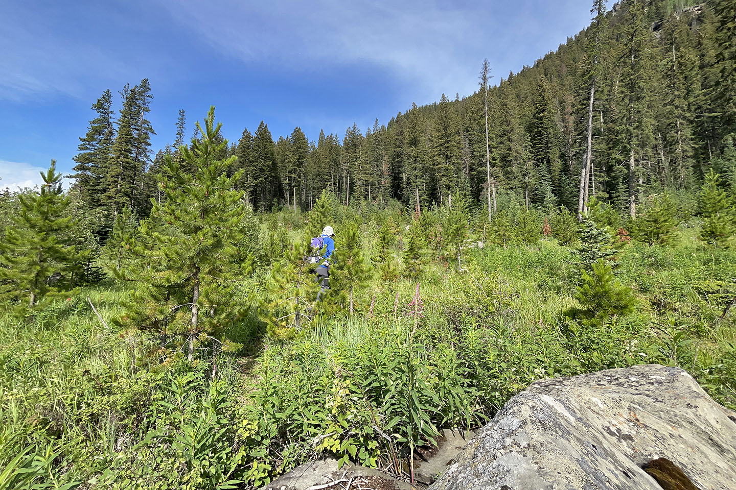 The trail crosses a clearing before reaching the slope
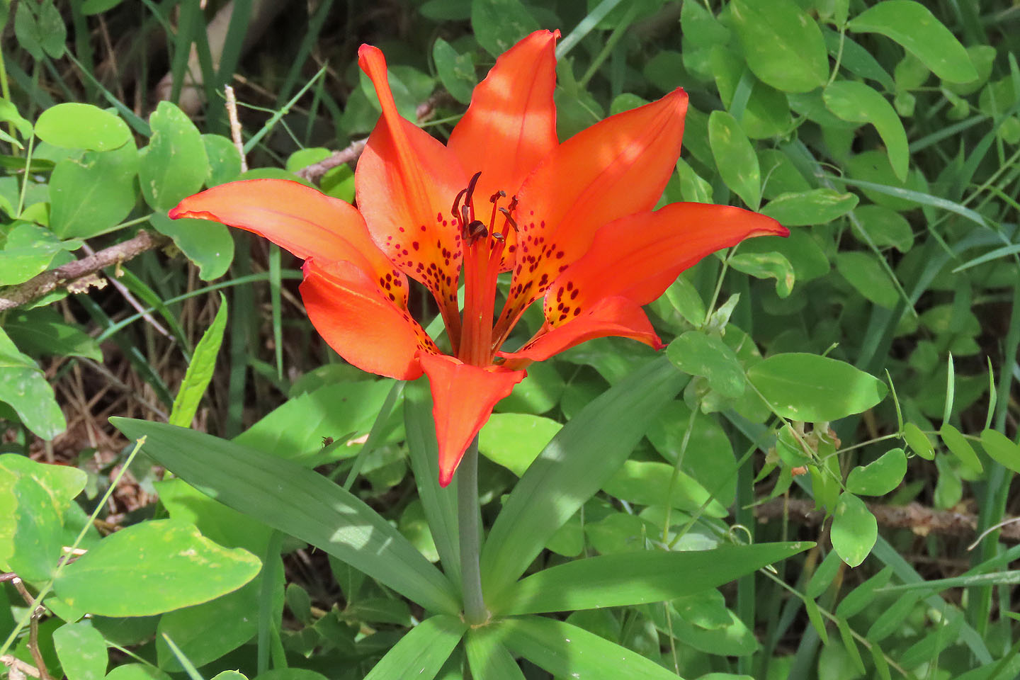 Wood lily
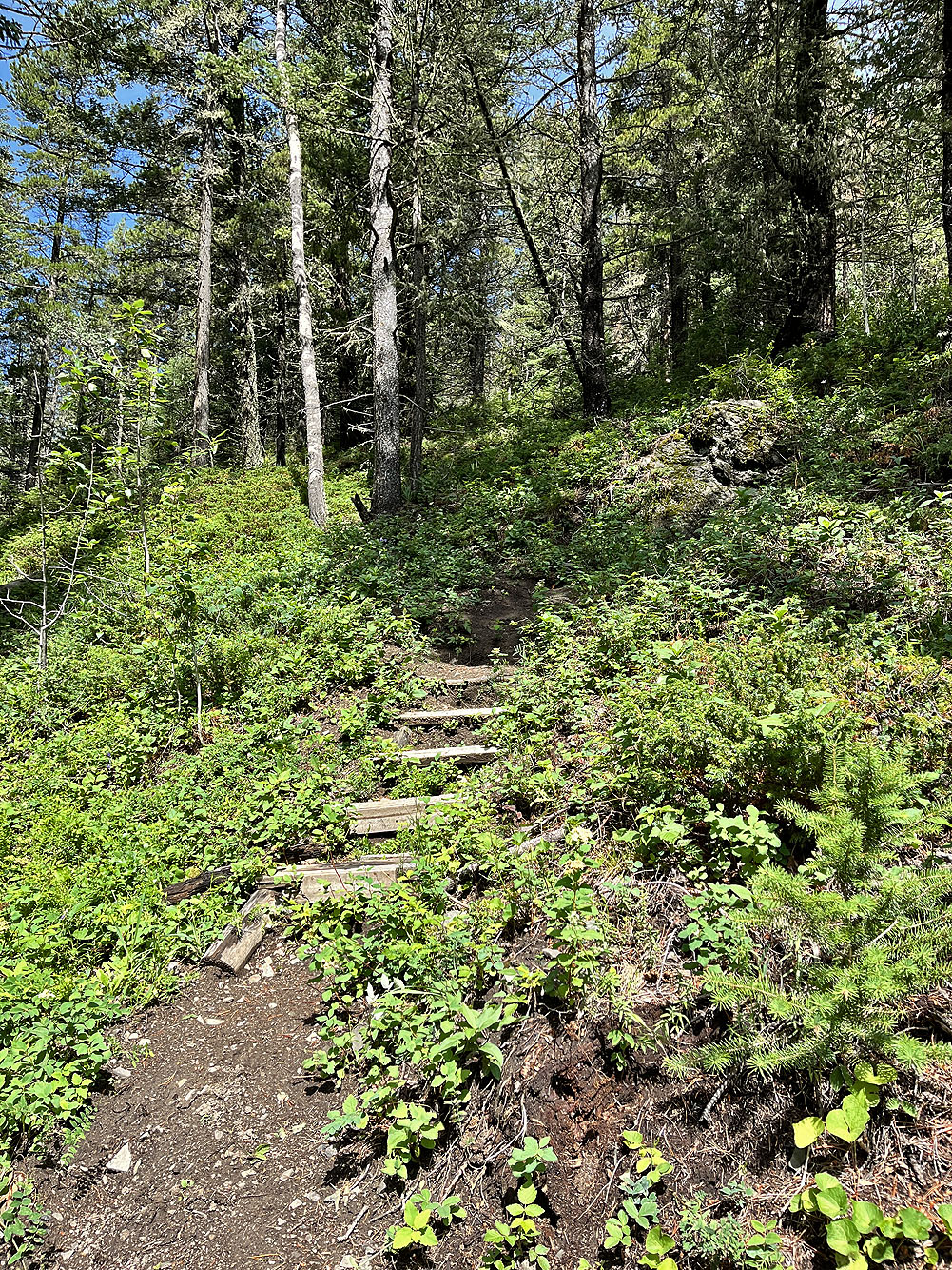
Stairs lead to switchbacks
Logs are used to brace the trail
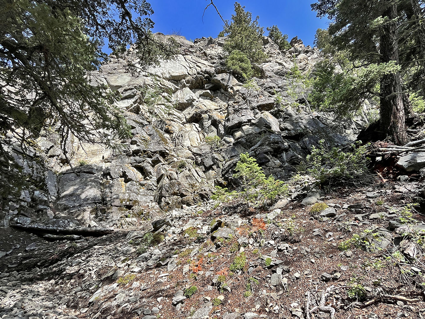 Looking up at one of the cliffs
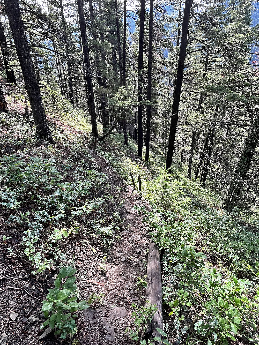
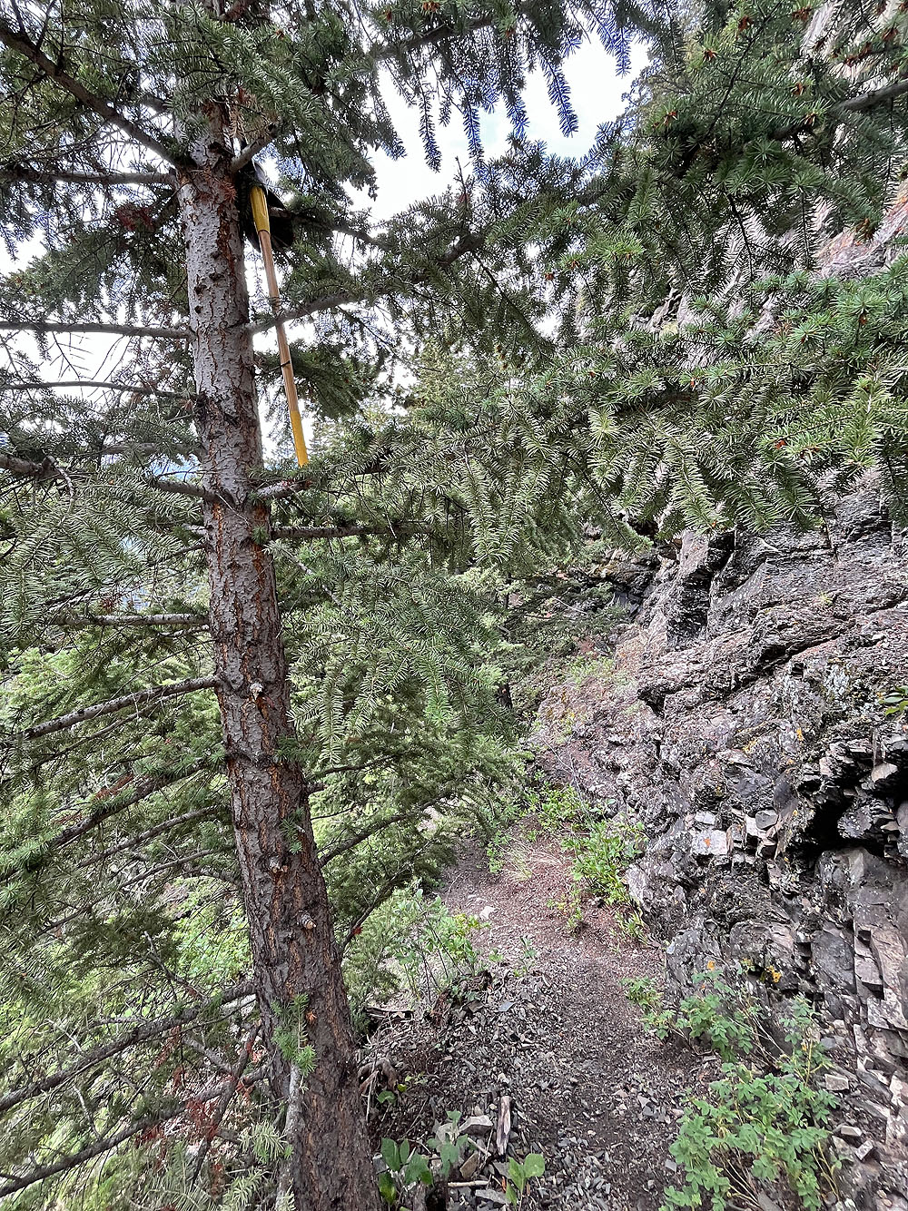
 Continuing up the trail
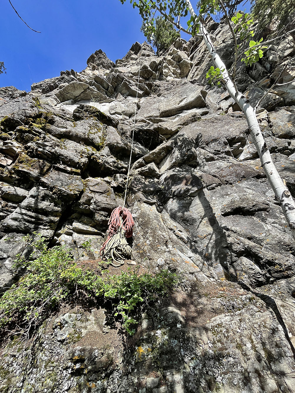
I saw rope lying around but this one was hanging
 At the end of the cliffs, the trail turned left and disappeared
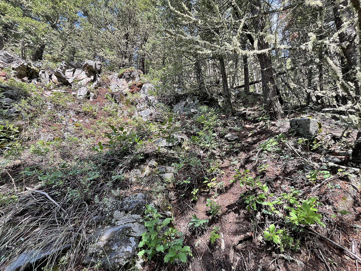
 When the trail ended, I hiked up a steep slope
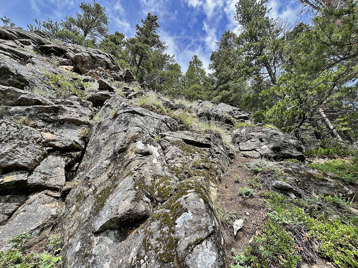 I scrambled up this break in cliffs
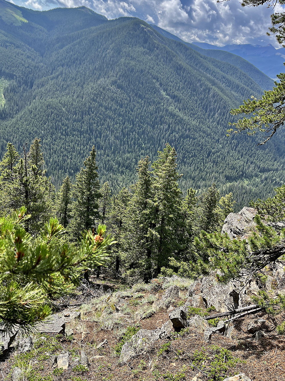
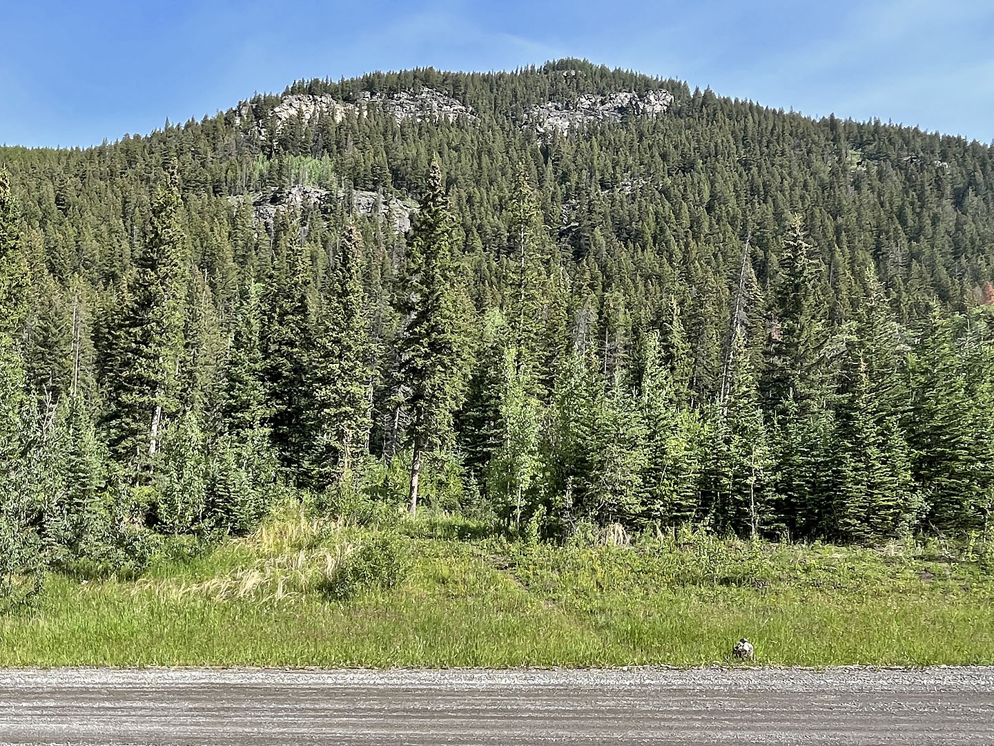
Looking back at the break which drops sharply. Hunchback Hills in the background.
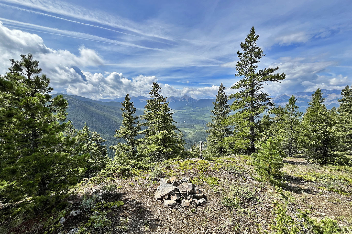 When I reached the ridge, I found a cairn
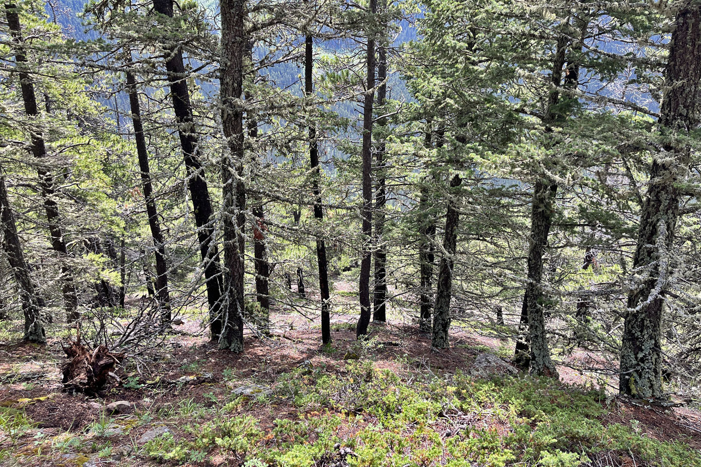
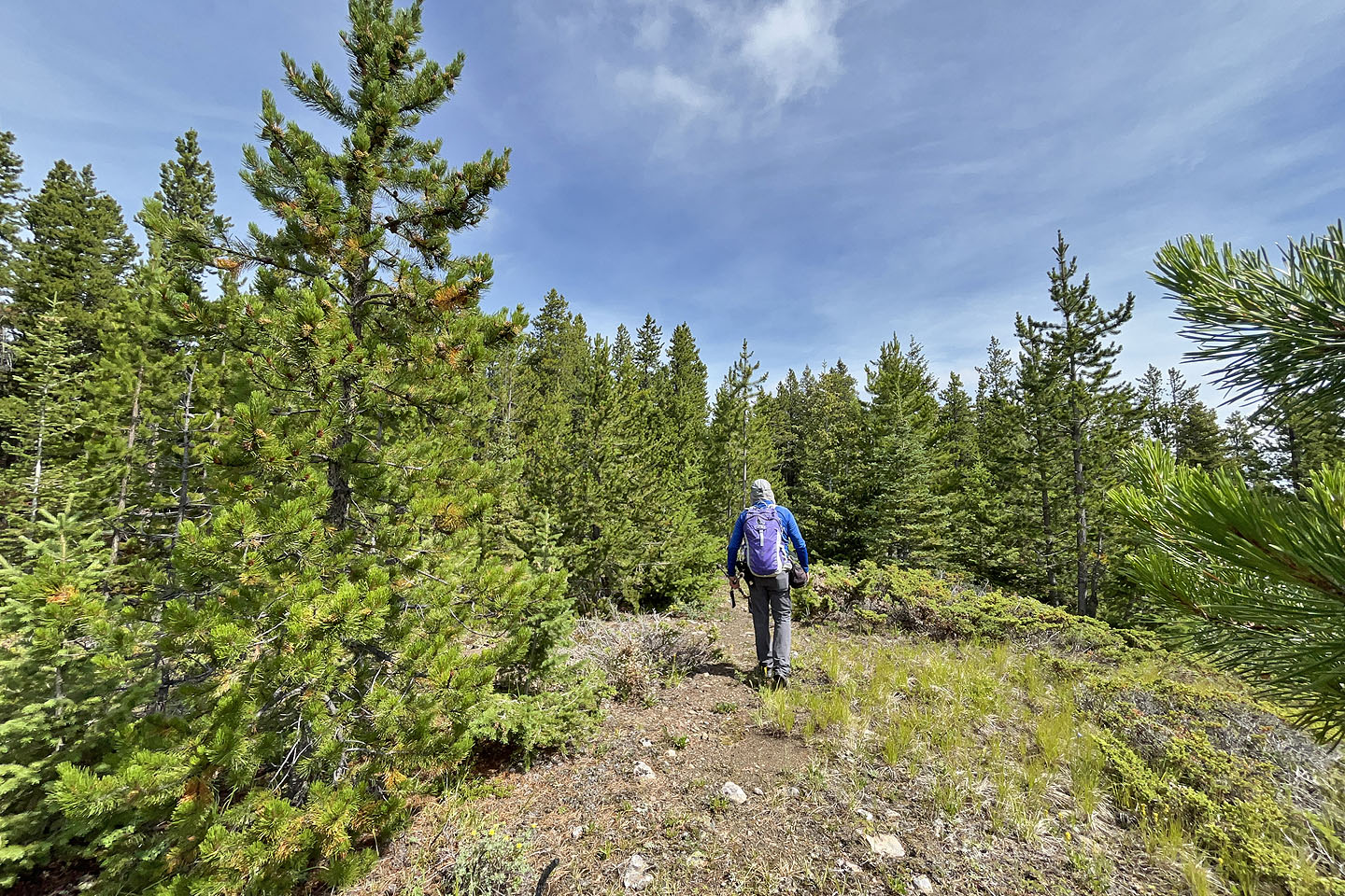 I followed the ridge to the summit
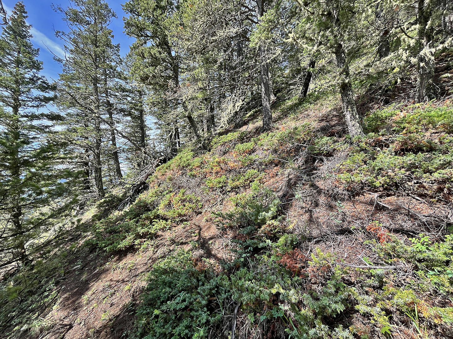
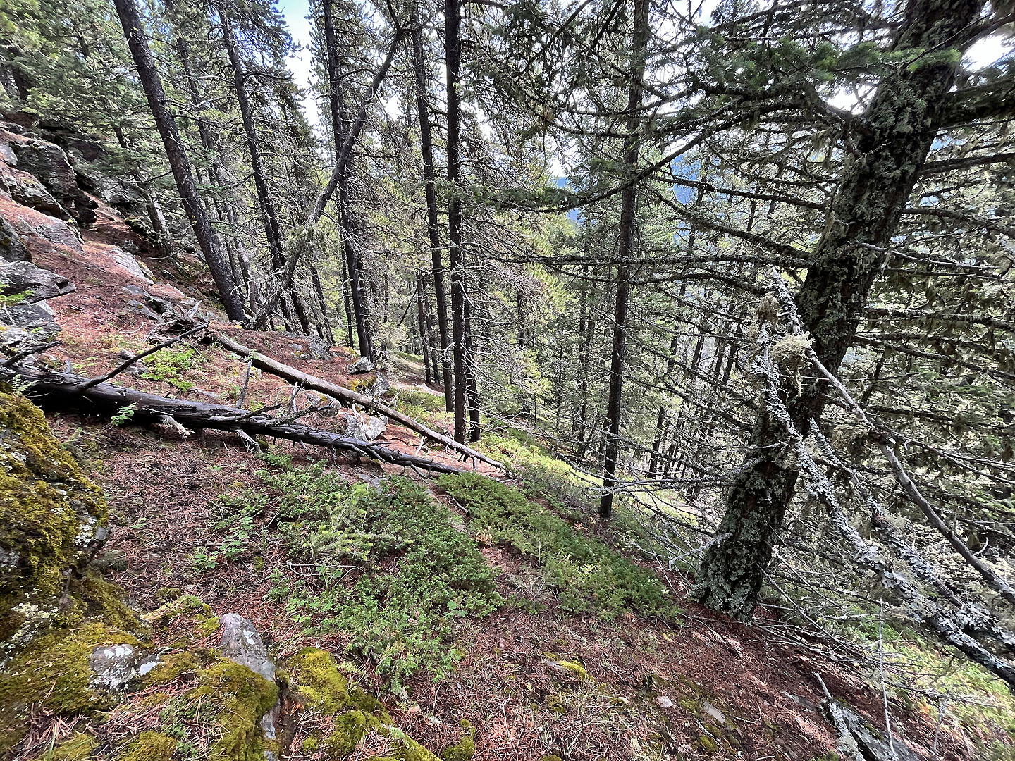
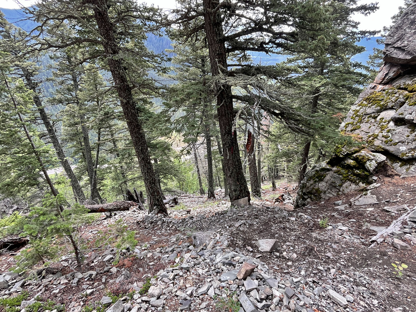
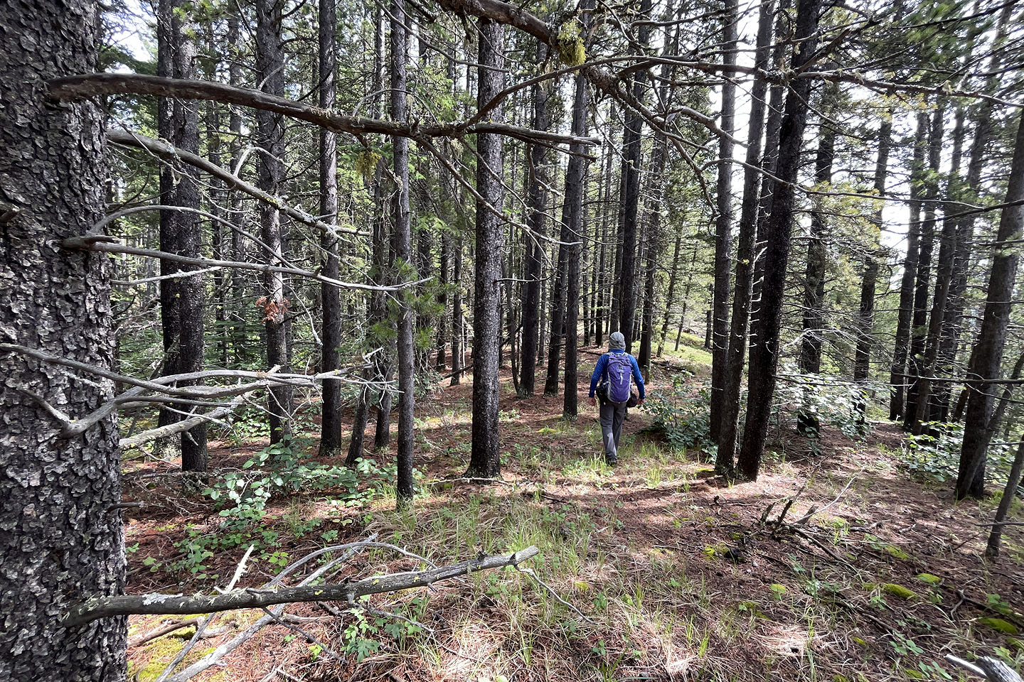 Continuing along the ridge through the forest
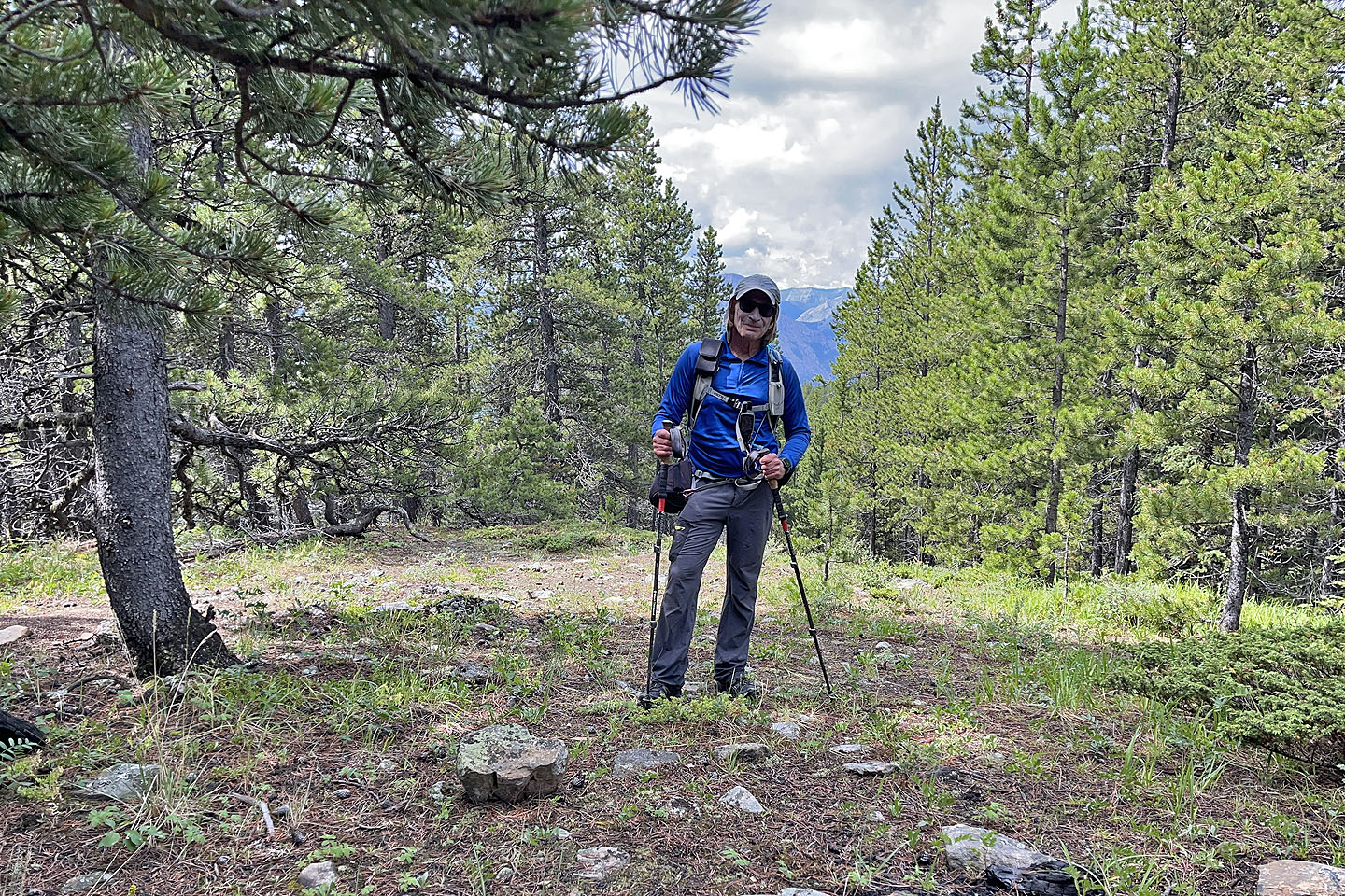 On the summit
 To avoid the cliffs, I went 30 m east and descended a steep slope
 I headed back down to the trail
Back on the trail, I noticed a tool for clearing the trail
 Above the switchbacks, looking down at the road
82 O/2 Jumpingpound