bobspirko.ca | Home | Canada Trips | US Trips | Hiking | Snowshoeing | MAP | About
Horton Hill
Kananaskis, Alberta
December 26, 2016
Distance: 3.8 km (2.4 mi)
Cumulative Elevation Gain: 352 m (1155 ft)
Following a snowfall that blanketed much of the area, Dinah and I ventured up Horton Hill, not far from the Kananaskis visitor centre. We brought snowshoes, but left them in the car and hiked up the south ridge without difficulties. There was no trail for the most part, at least none that was apparent under the snow, but the way up was obvious. Large clearings along the way presented good views to the south and made the hike more pleasant than expected. The bit of deadfall just before the summit wasn’t enough to detract from our overall enjoyment.
In contrast, the next high point on the ridge, Ridge 413572 as it’s called in Kananaskis Country Trail Guide, appeared anything but pleasant. Deadfall and underbrush crammed the steep slope leading to a col before the ridge. Our search for an easy way down proved fruitless. Because of the bushwhacking, along with the added deterrent of snow, it just didn’t appear worth pursuing a treed summit even if it was higher than Horton Hill. Horton Hill seemed enough of a good hike without having to extend it.

From the parking lot on Hwy. 68 just 1.5 km off of Hwy. 40, we started up the slope in the background

We immediately passed through a copse of aspen

Mount Baldy behind us

We followed long clearing up the ridge

Hunchback Hills lie southeast

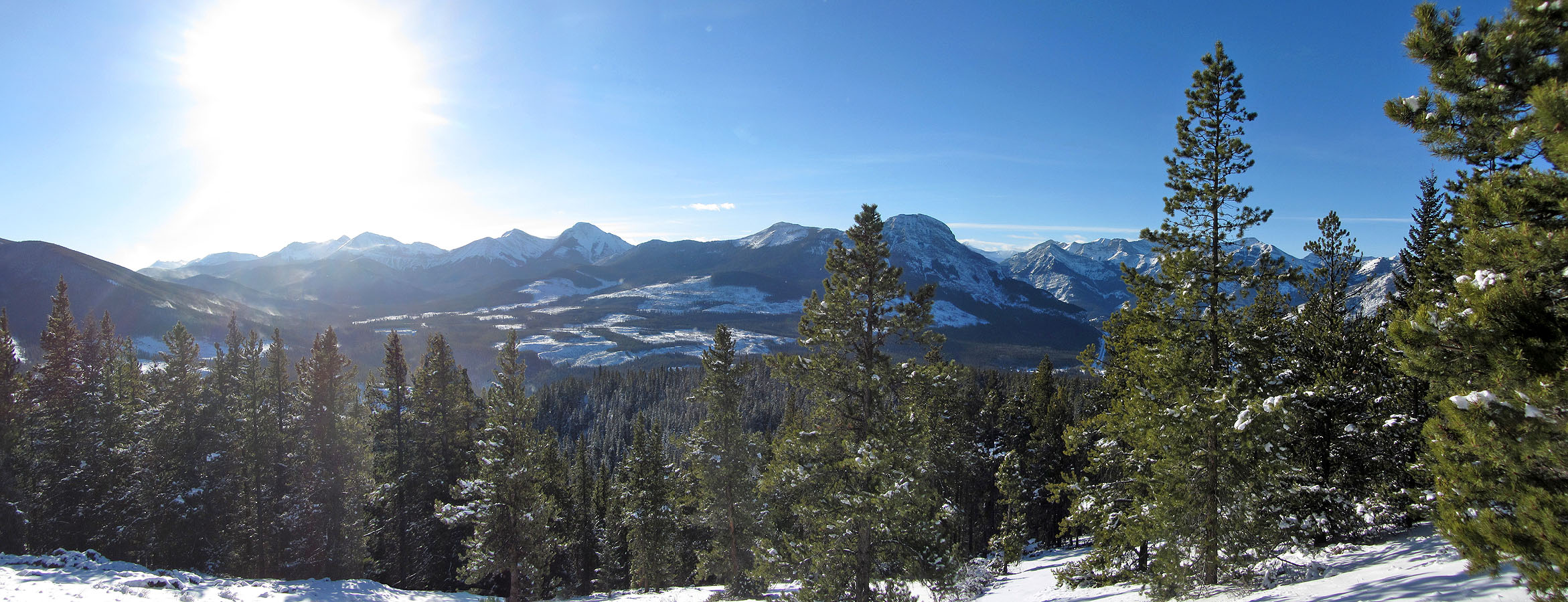
The best panoramic view is found halfway up the hill

After the large clearing, we kept left

When we encountered deadfall, we avoided the worst of it by skirting left

Closing in on the top of Horton Hill

A short trail leads to the summit

Dinah stands by the summit cairn. There's even a summit register.

There appeared no easy way down through the deadfall and underbrush

After searching, we weren't able to find a practical way down the ridge

Being entirely treed, Horton Ridge isn't an alluring objective
