bobspirko.ca | Home | Canada Trips | US Trips | Hiking | Snowshoeing | MAP | About
Gleason’s Meadow Hill
Kananaskis, Alberta
June 12, 2020
Distance: 8.3 km (5.2 mi)
Cumulative Elevation Gain: 298 m (978 ft)
Gleason's Meadow Hill is depicted as a short, easy hike in Kananaskis Country Trail Guide. Although the route isn't as straightforward as the guidebook suggests, it would be difficult to lose your way to the summit. The trip begins by walking 2.2 km up Gorge Creek Road before ascending the lightly forested east ridge.
Starting from Ware Creek trailhead, I strolled up Gorge Creek Road. Just after a sign warning of a winding road ahead, the road drops down and enters Gleason's Meadow. I caught up with three backpackers and learned they were camping for two nights.
We all left the road in the meadow. The backpackers turned left onto a trail in the meadow, while I went right at a culvert, into the woods. I immediately found the trail that the guidebook suggests. It was supposed to run almost to the top of the east ridge, but after hiking only 400 m, I floundered and kept losing the crappy, little trail. Exasperated, I gave up on the trail and set off for the east ridge.
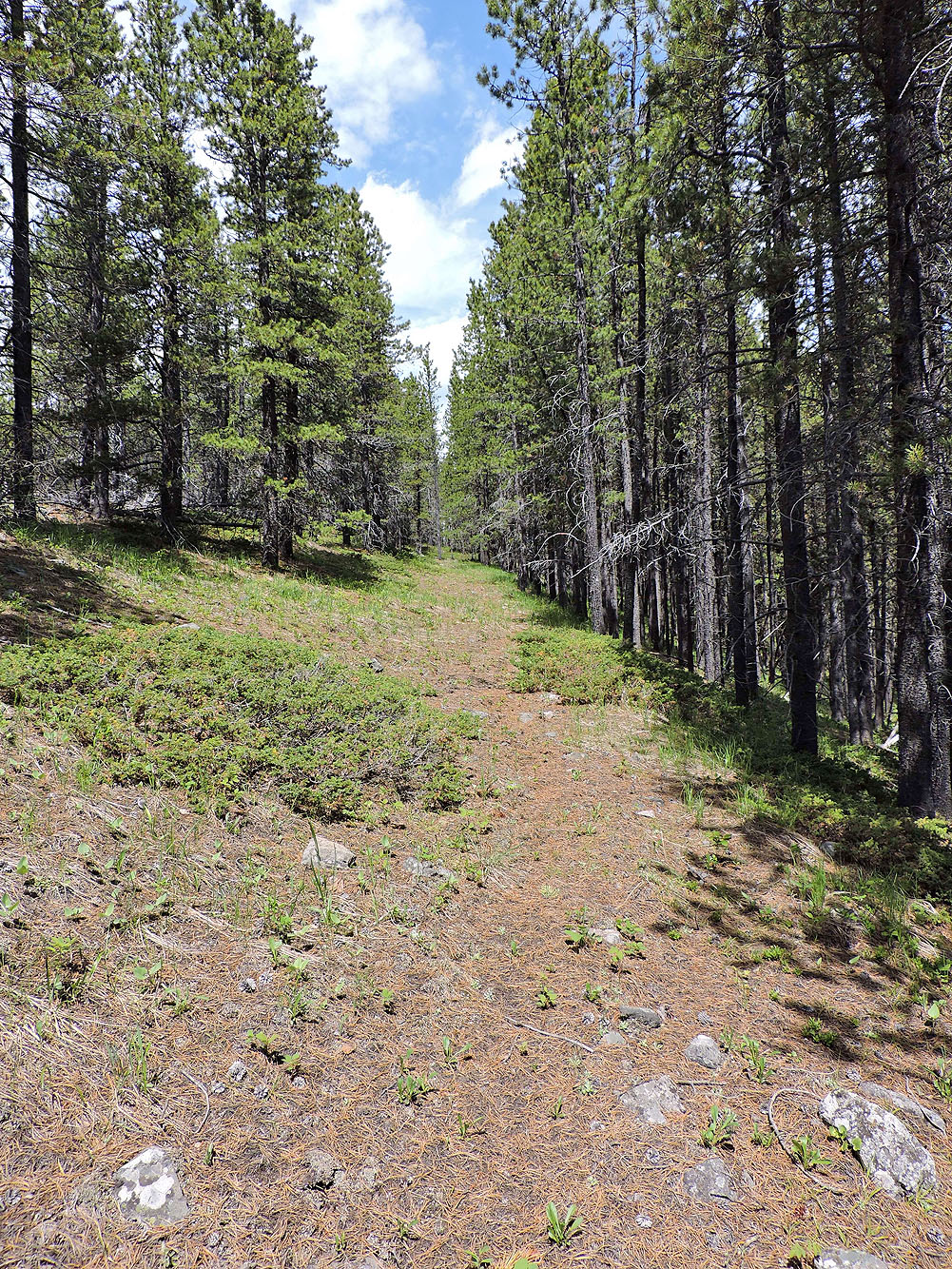
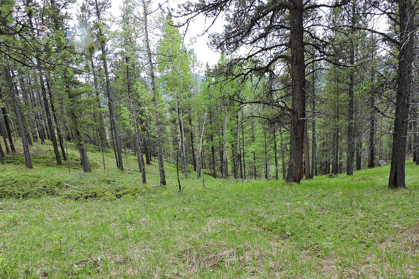
Hiking in these woods couldn't have been easier. With widely spaced trees and only a grassy forest floor to contend with, I navigated easily up the slope. I soon reached the treed ridgetop. To my surprise, there was a trail on my right on a shelf below the crest. Running almost arrow-straight, it could be mistaken for a cutline or an old road, but it appears to be neither. I followed the trail until it disappeared above a tiny meadow. I hiked to the summit 300 m away.
There is no meadow on top of Gleason's Meadow Hill, but through the trees, there's a sketchy view west. There's also a couple of cairns. I had a quick lunch before starting back.
This time, I took the delightful trail/shelf on the north side of the ridge. I followed it for hundreds of metres before both shelf and trail disappeared. I continued until I reached a dip on the ridge. Looking back, I wished I had followed the ridge all the way down to the road. But I dropped down the slope and got back on the crappy trail.
Starting up Gorge Creek Road
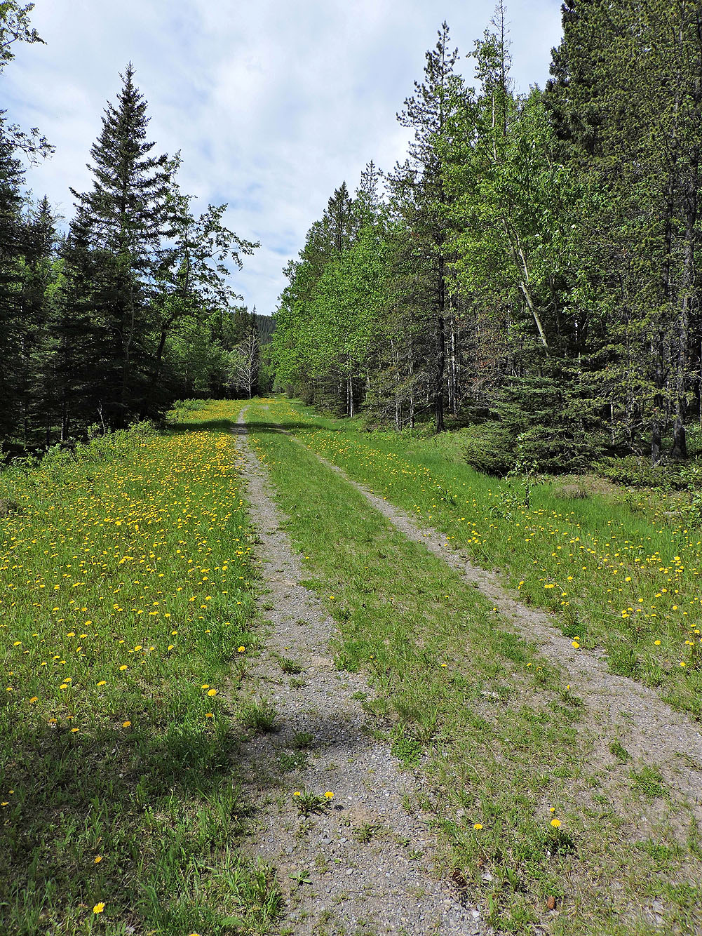
Travel is easy on the road
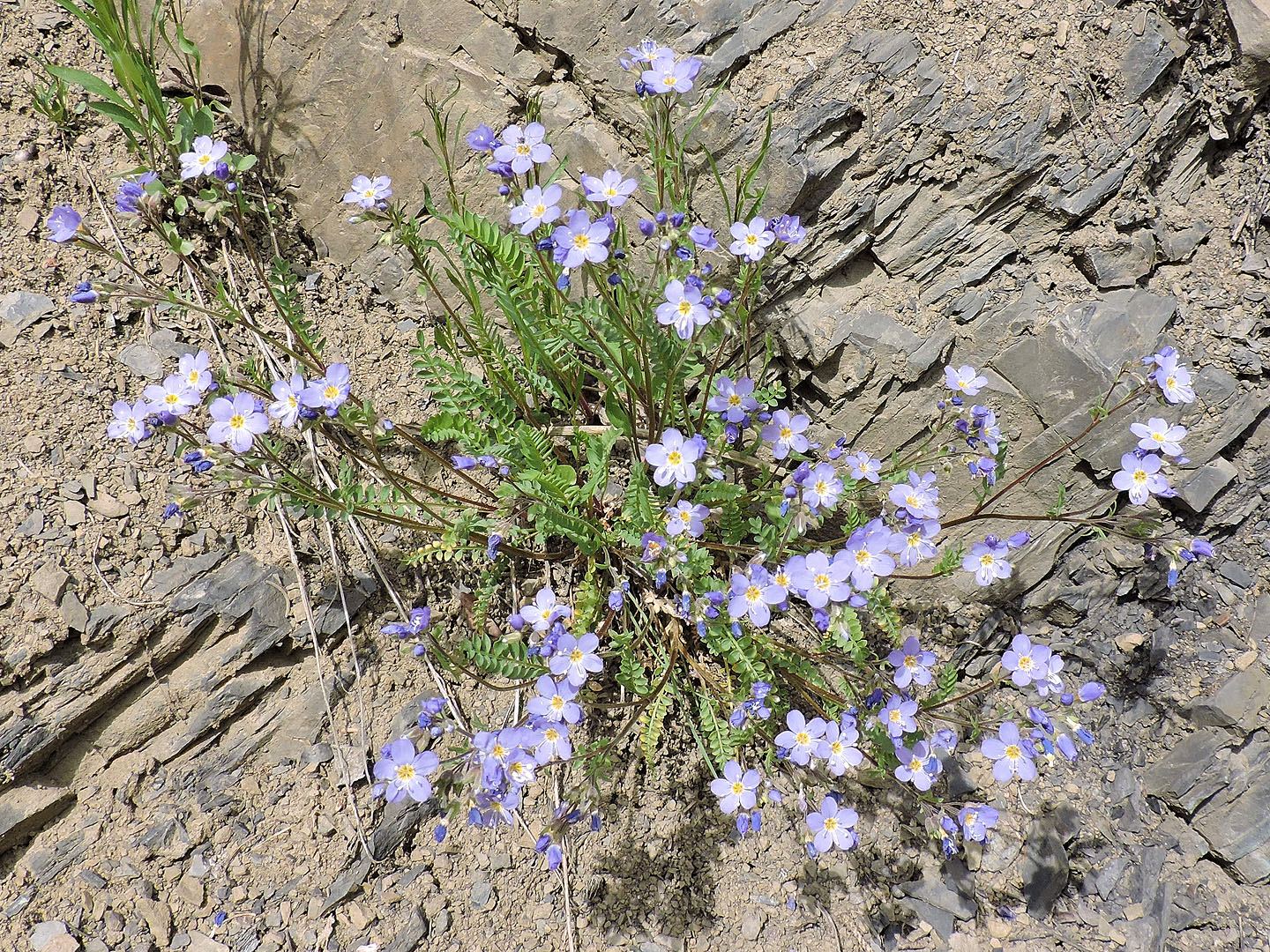
Jacob's ladder abounded on the roadside
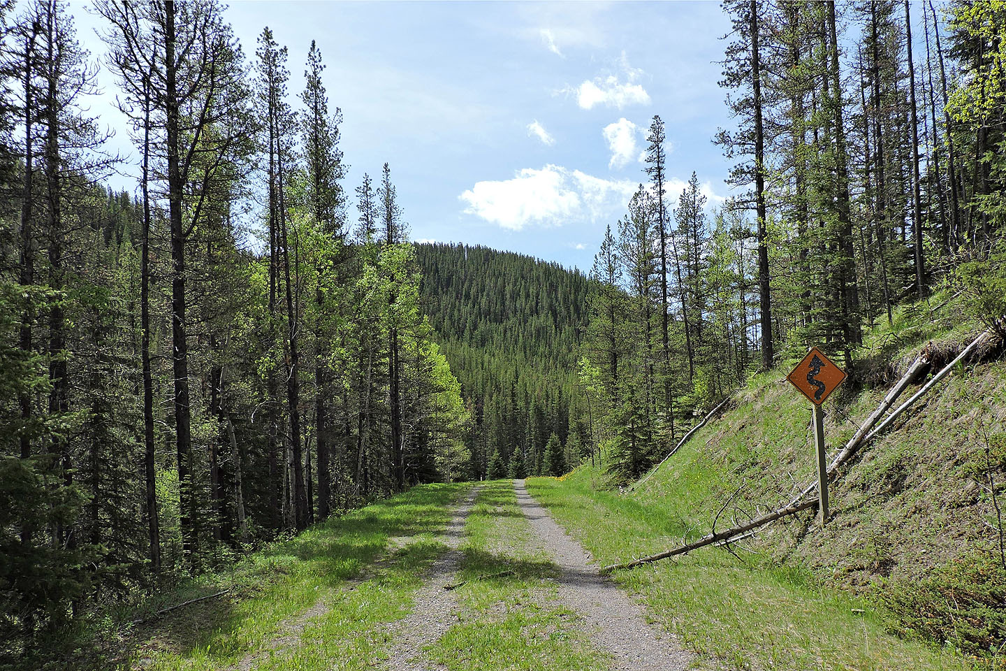
Despite being closed for years, the road was in remarkable condition, not overgrown
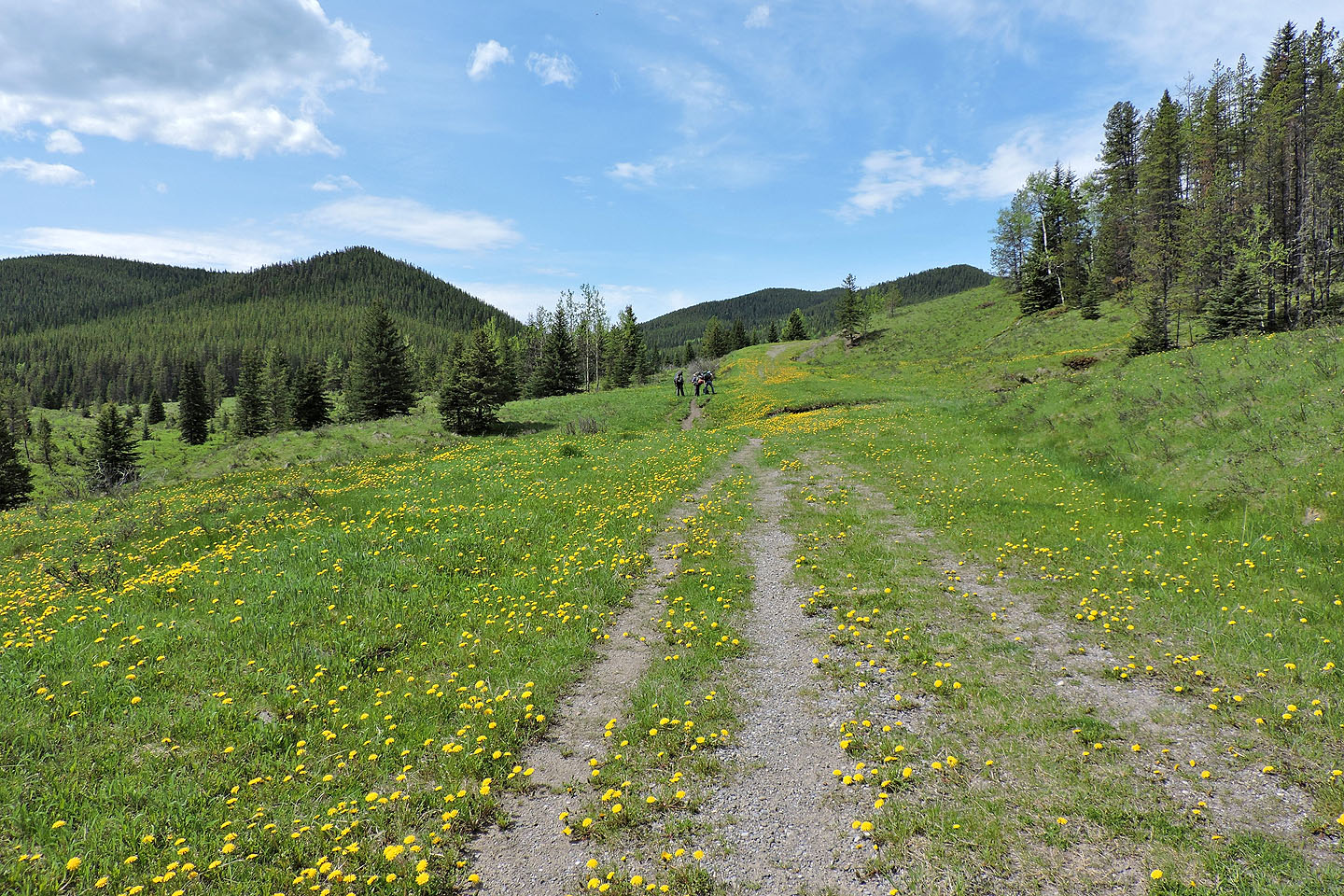
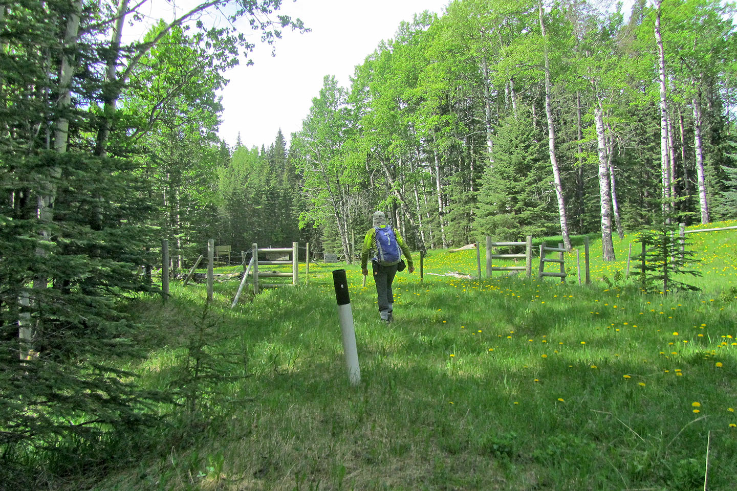
Coming up to Gleason's Meadow and the creek where the ascent begins
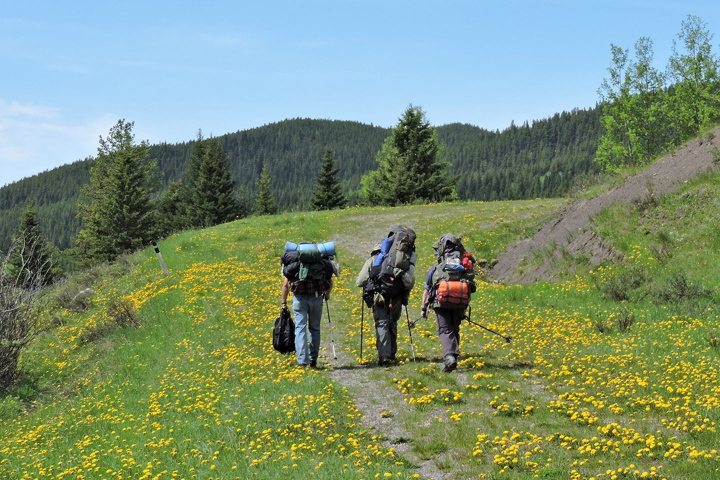
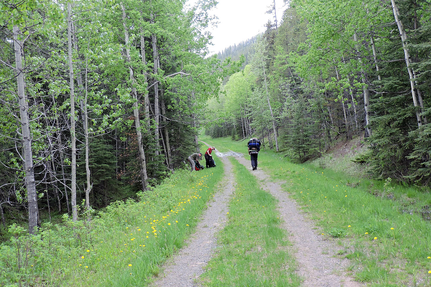
These backpackers will be camping for two nights
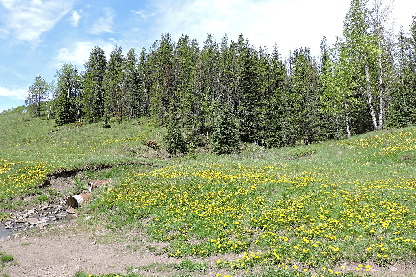
I left the road here and started up the right side of the creek
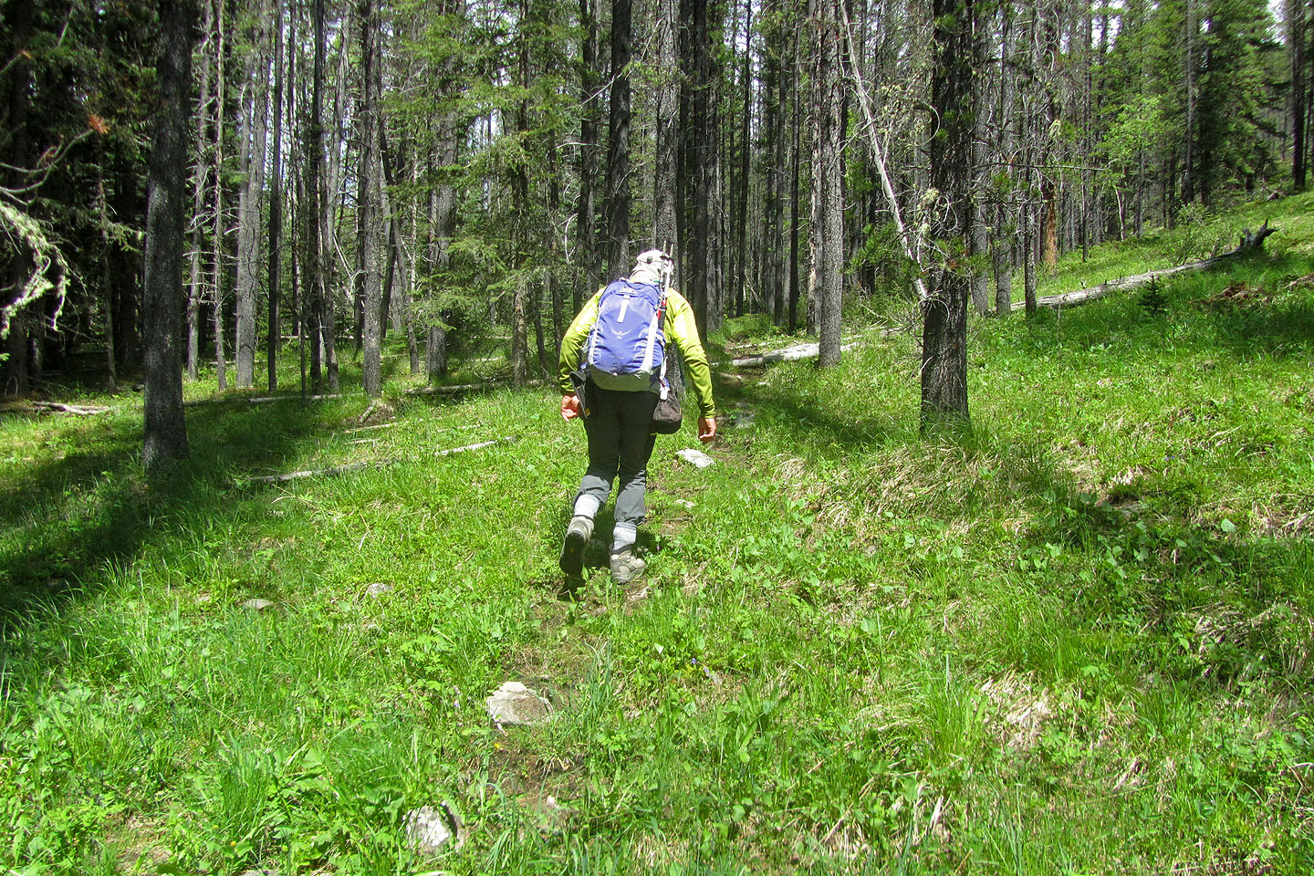
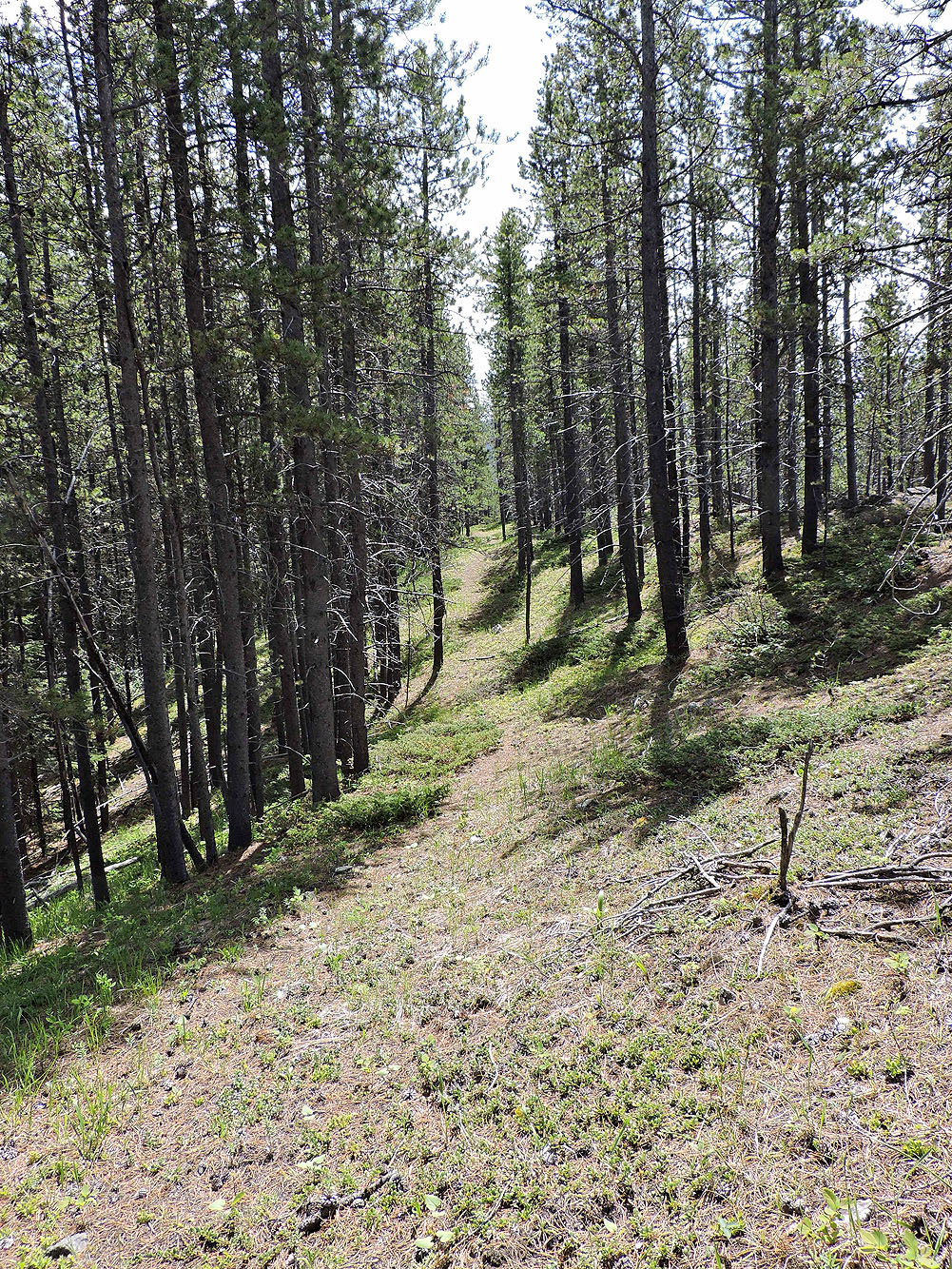
I soon found a faint trail
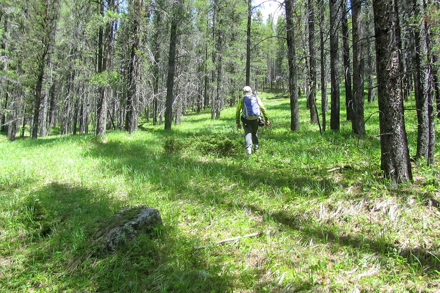
When I began losing the trail, I headed up the east ridge
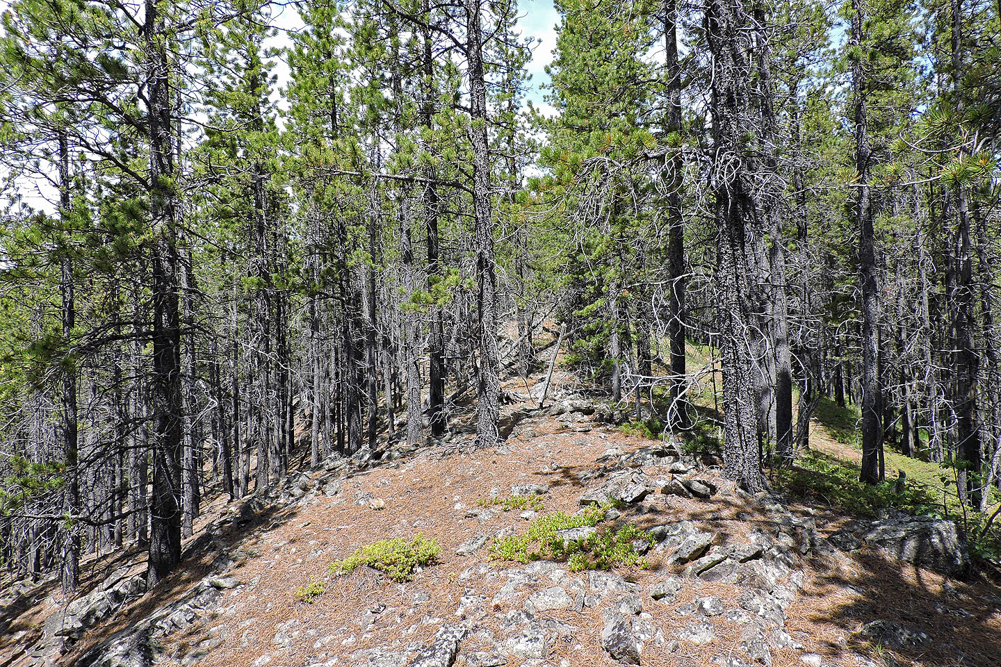
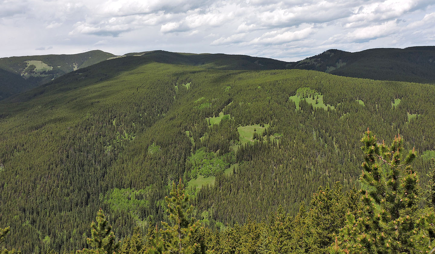
The ridge looked good to me until I saw the path on the right
I took the path until it ended and then followed the ridge to the summit
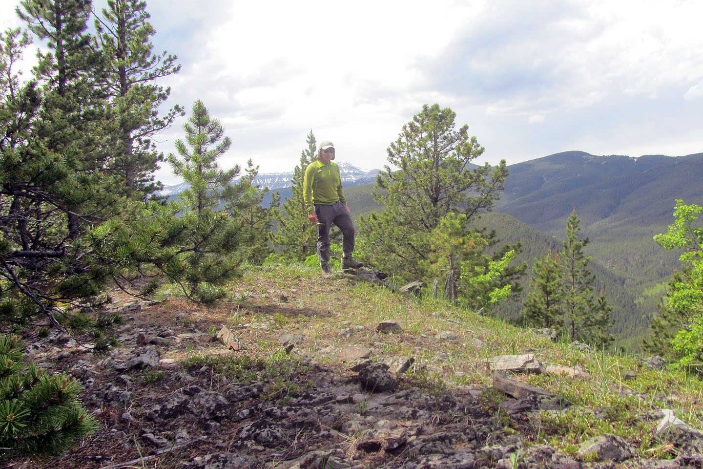
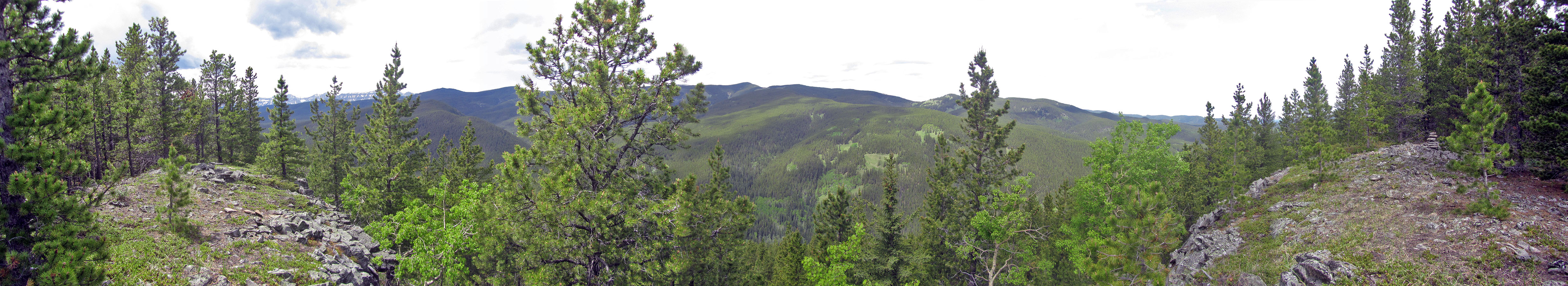
Standing on top of Gleason's Meadow Hill
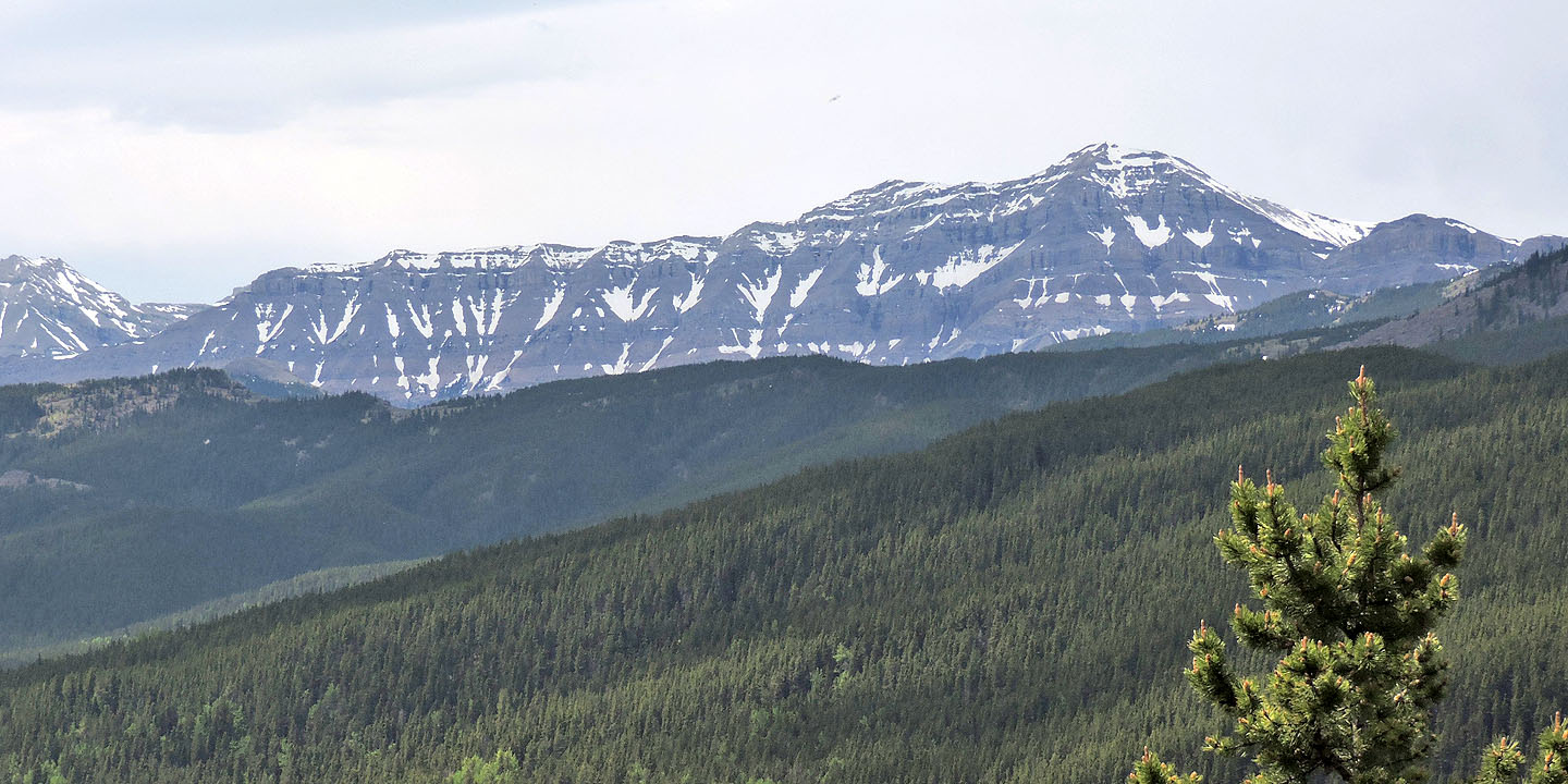
View of Allsmoke Mountain (left) shows the ascent ridge
Back at the spot that I reached on my ascent, but now looking downhill
When the trail disappeared, I dropped down the slope at a dip on the ridge
While walking back on the road, I ran into three more backpackers who were going to join the first group
82 J/10 Mount Rae