bobspirko.ca | Home | Canada Trips | US Trips | Hiking | Snowshoeing | MAP | About
Allsmoke Mountain
Kananaskis, Alberta
May 18, 2013
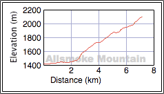
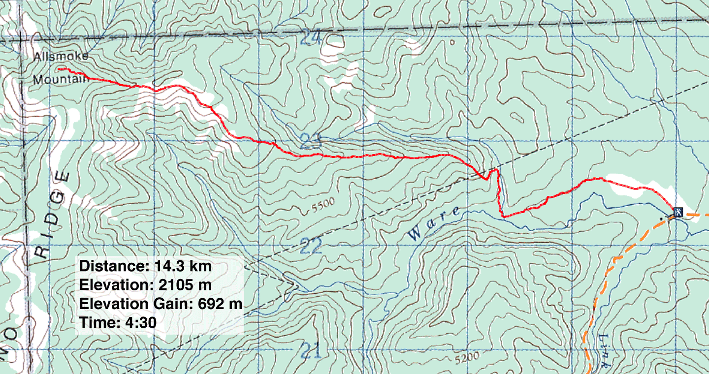
Distance: 14.3 km (8.9 mi)
Cumulative Elevation Gain: 700 m (2297 ft)
Since the weather forecast called for a risk of afternoon thunderstorms in Kananaskis, I chose a short trip: Allsmoke Mountain. If I reached the summit by 12:30 p.m., I figured I would be down before any storm came, if indeed one came. So I was surprised when at 12:36 pm I heard an ominous crash of thunder alarmingly close. I was less than five minutes from the summit.
When I stepped onto the trail two and a half hours earlier, the sky was clear. However, I knew I could be caught unaware if a storm sprang up out of sight on the other side of Allsmoke. Travelling west, I could arrive on the summit only to meet a thunderstorm moving east. Hence, this trip had to be quick and cautious.
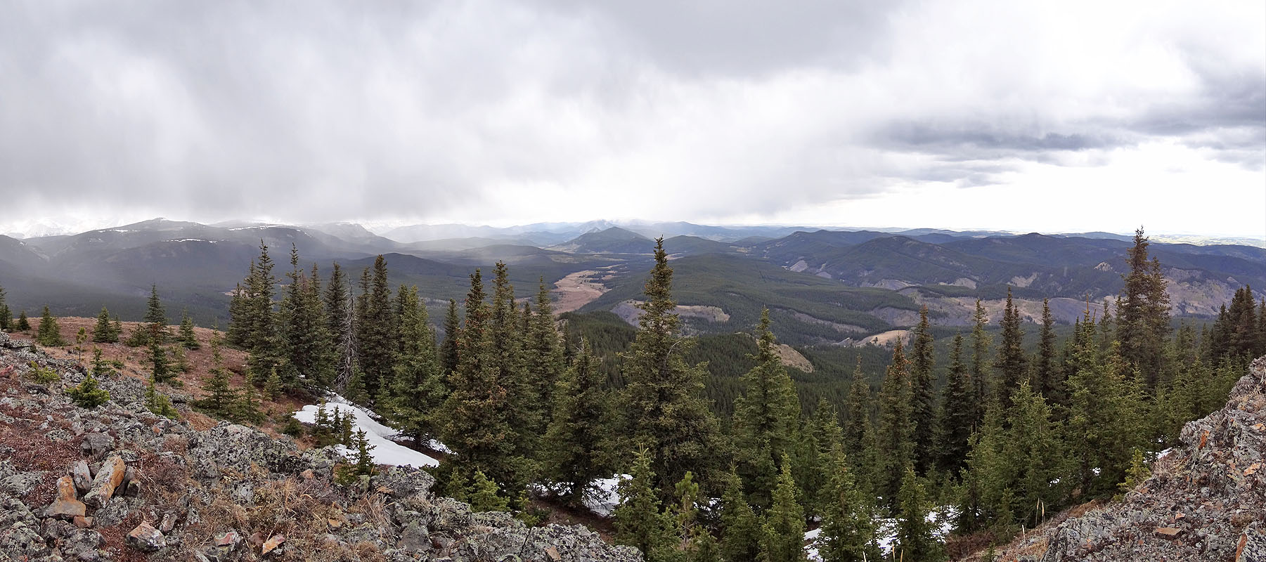
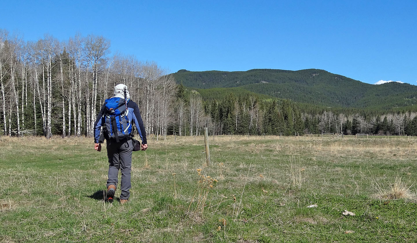
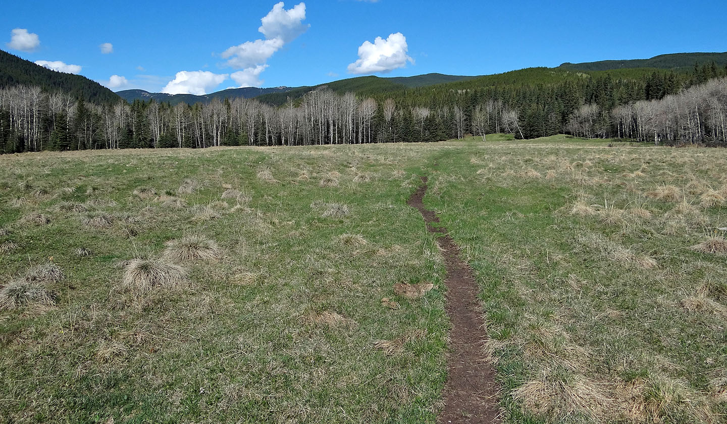
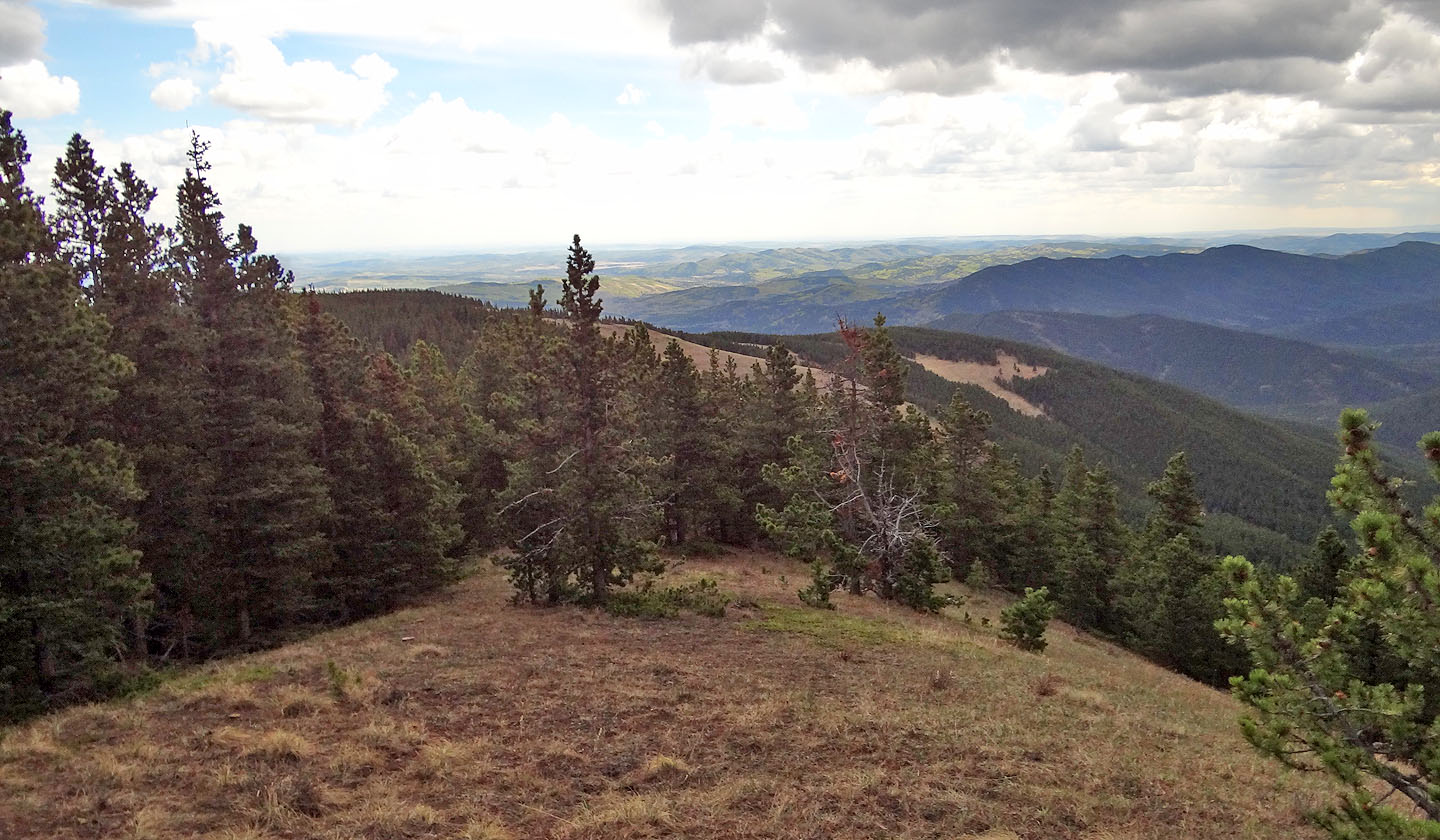
From the trailhead at Ware Creek, I followed an old road as best I could. The route wasn't always apparent, but eventually I covered the 2 km distance to reach the end of the east ridge where a long but pleasant ridge trail awaited. Because of the tree canopy, I couldn't view the sky; I was unaware of clouds rolling in. By the time I popped out onto a grassy ridge where the trail ended, dark clouds filled the western sky. To the south, one cloud in particular appeared to be bringing rain or hail. I assumed it was moving west, although I couldn't be sure as the air was calm at my vantage point. The summit was less than two klicks away.
Concerned with the sudden change in weather, I quickened my pace. I crossed the grassy slopes and was bushwhacking up to the summit when I heard the first thunderclap. That it was behind me confused me. Apparently the rain cloud I had spotted earlier had moved north and had become a thunderstorm. I was conflicted between reaching the summit just 150 m away or turning back. But since the storm was behind me, I decided to risk tagging the summit first. I didn't feel I had to pull out all the stops just yet. But I was primed to flee if I experienced truly terrifying signs of an imminent lightning strike, such as metal buzzing on my person and my hair standing on end (as happened on the East End of Loaf), or if my head buzzed and was zapped by the electrically charged air (Indian Ridge).
When I reached the summit, I was rattled to see a metal post – a veritable lightning rod – stuck in the cairn. After taking a couple of photos, I turned around and barreled down the ridge crest, through the trees and bushes. This appeared to be the fastest way to lose elevation because of dense vegetation on the steep slopes. Once I reached the open slopes below the crest, I was able to fly.
Three times I heard the crack of thunder ahead of me, and it began raining and then hailing. I should have felt safer when I was below the ridge crest, but on the big open slopes I felt nervous, more vulnerable to a lightning strike (I could see the headline: "Man's life ends in a puff of smoke on Allsmoke Mountain").
I hurried back along the grassy slopes to the cairn that marked the ridge trail beginning at the forest edge. Hastening on, I was well down the trail when the thunder ceased, and the hail turned to rain. Still wearing a T-shirt, I was getting cold and wet. In my headlong rush to get down from the thunderstorm, I was afraid to stop, but now it appeared safe to take the time to add layers. It rained off and on all the way back to my car.
Allsmoke Mountain seen from the trailhead
Volcano Ridge stretches all the way to Allsmoke, the bump on the far right
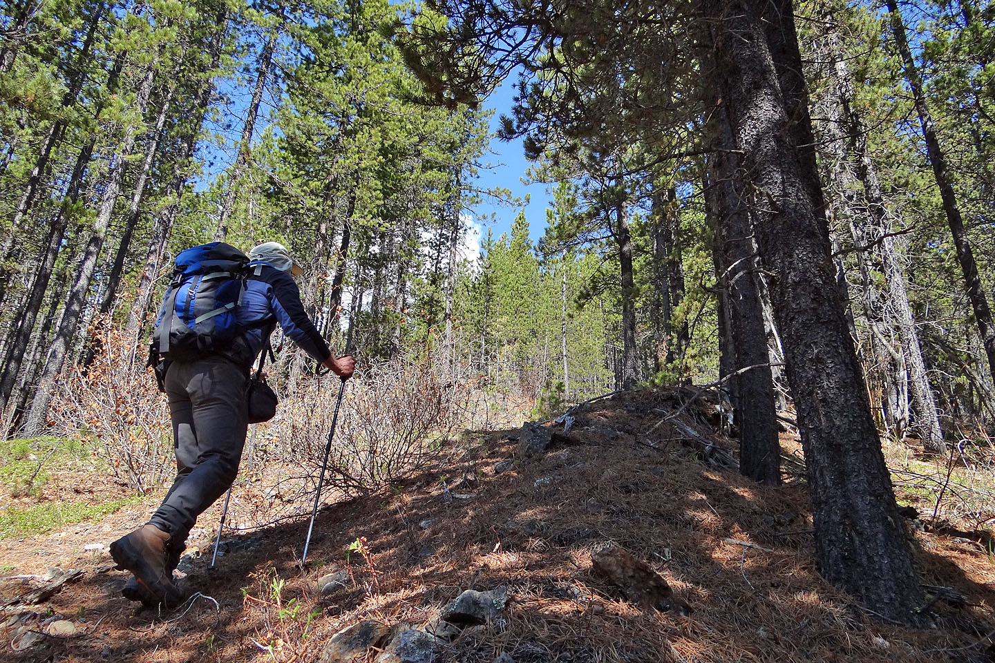
Hiking up the road
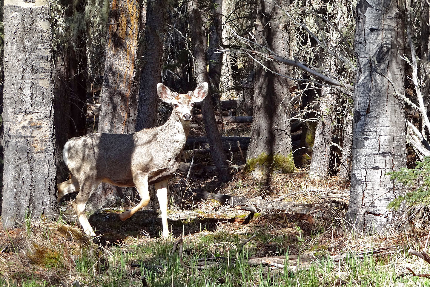
This deer approached me, getting within about 10 m. before bounding away. Apparently
it didn't like what it saw.
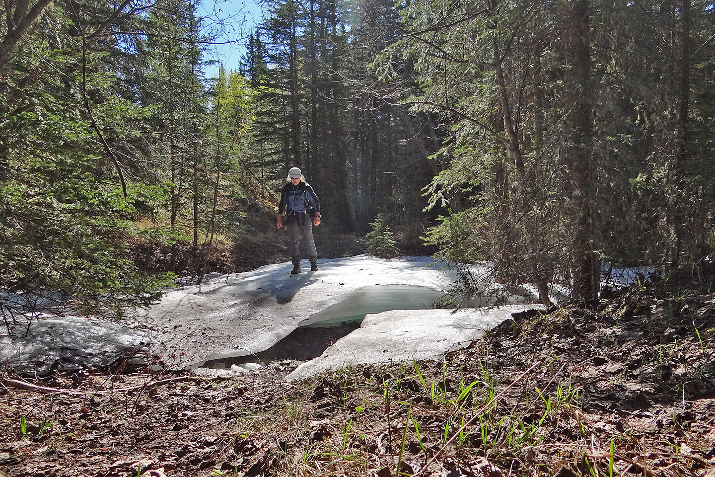
Crossing the creek at 263233 just before the start of the east ridge
The old road wasn't easy to follow
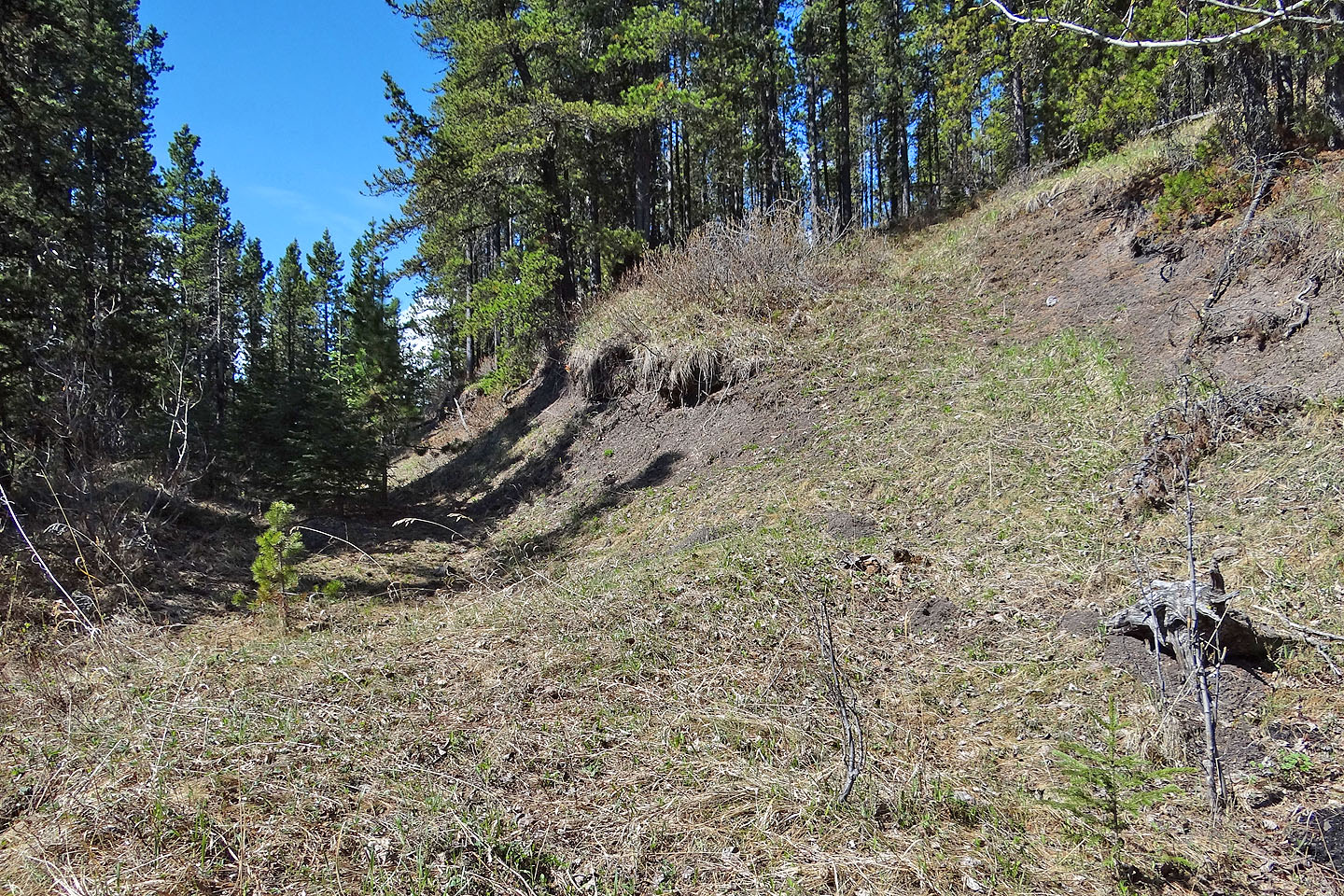
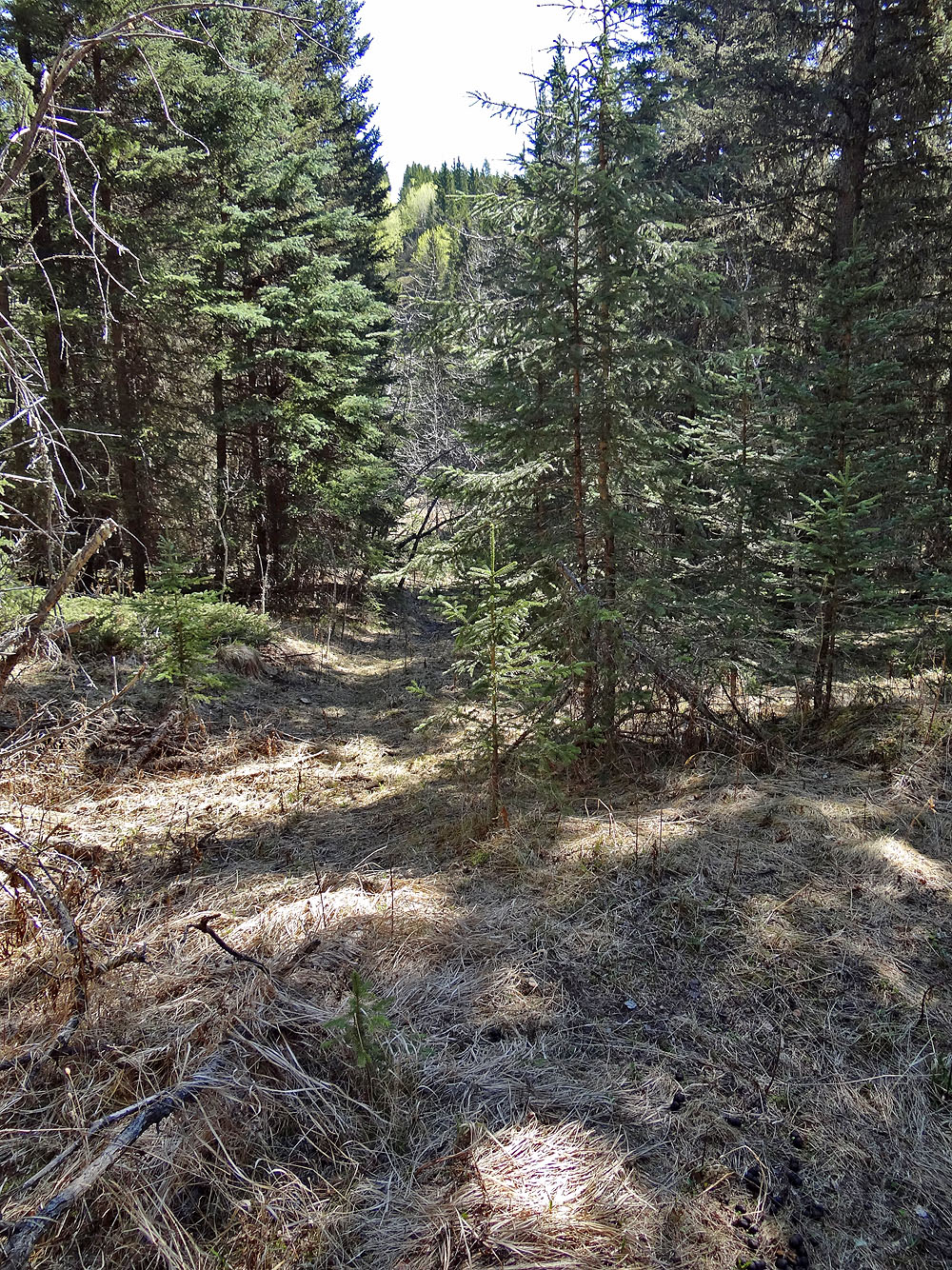
After the creek, the route follows a cutline briefly before leaving it here to ascend the ridge
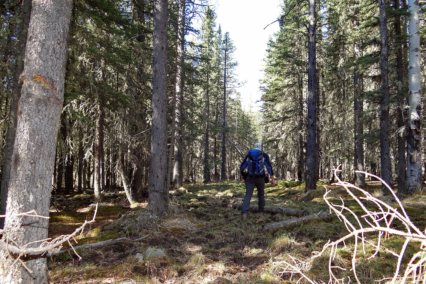
Hiking up the ridge above the cutline
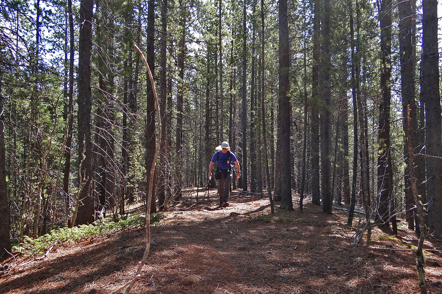
Hiking up the ridge trail
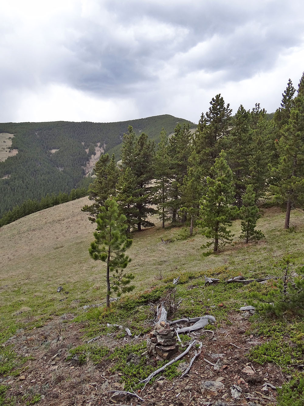
A cairn marks the end of the trail on a grassy slope. The summit is ahead.
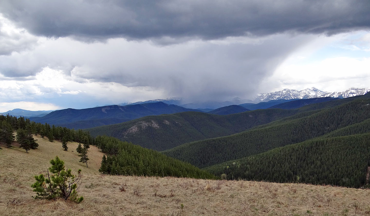
Ominous storm in the south
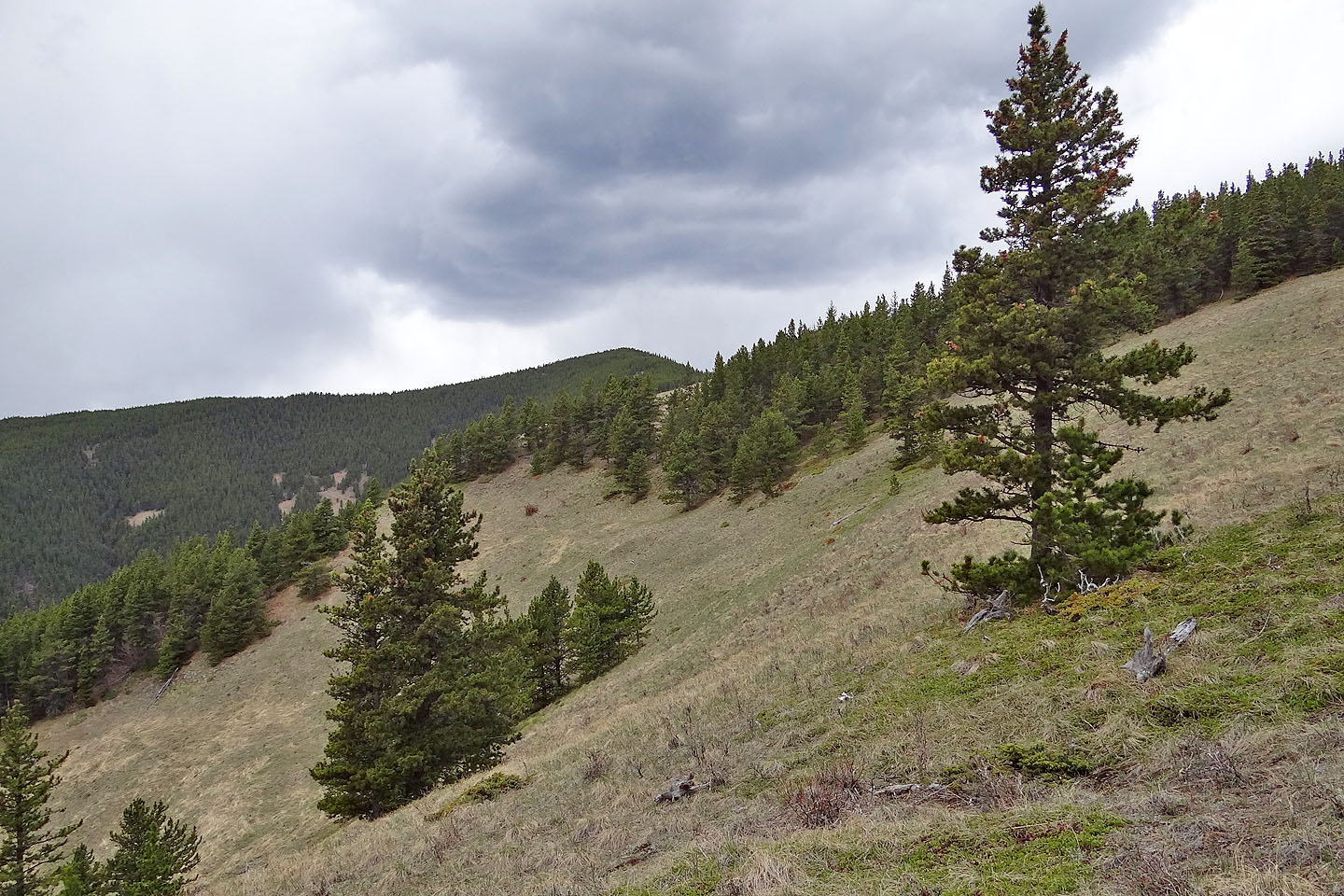
On my ascent I traversed the treed crest, but don't recommend it because of the bushwhacking.
Better to keep low and traverse the open slopes as I did on my descent.
Unfortunately the summit is mostly treed
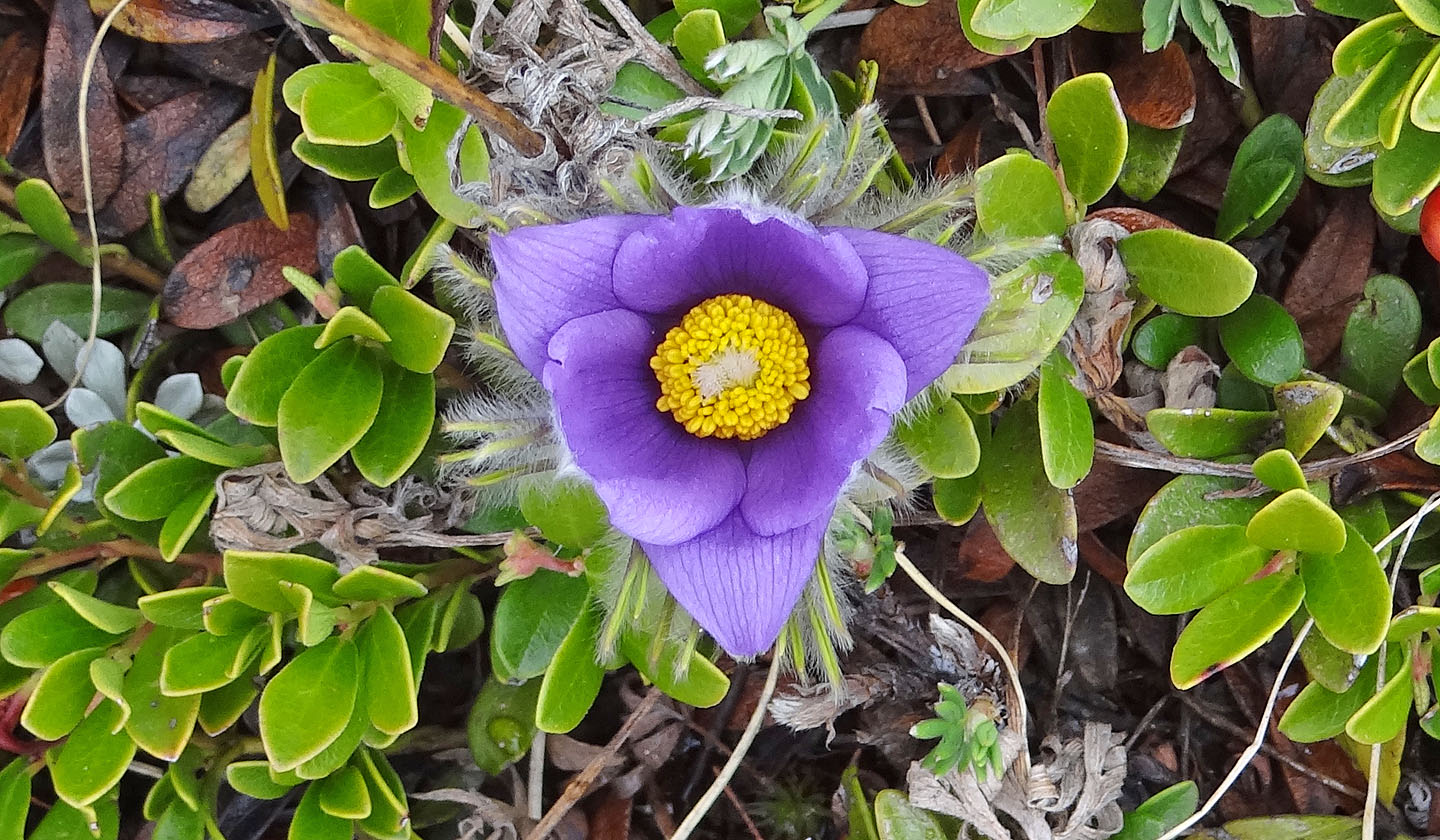
Prairie crocus
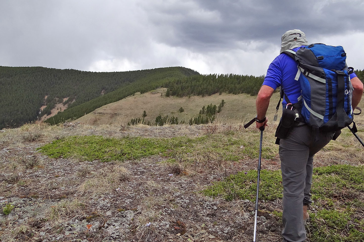
Looking back from a small clearing
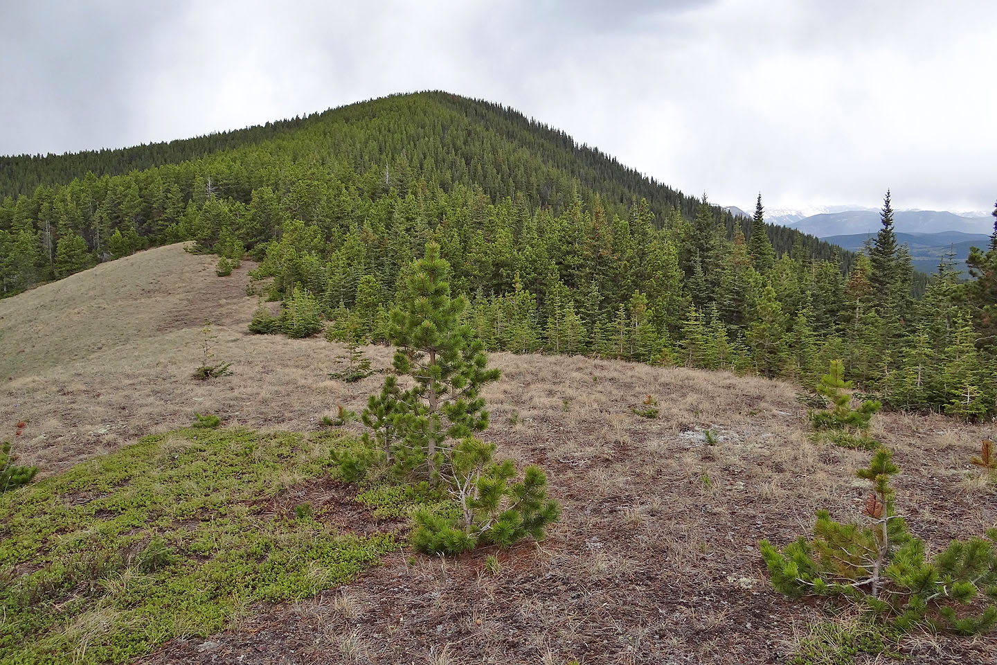
The summit is nearby
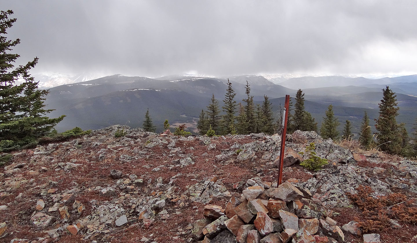
The summit cairn
82 J/10 Mount Rae