bobspirko.ca | Home | Canada Trips | US Trips | Hiking | Snowshoeing | MAP | About
Elpoca Creek Hill
Kananaskis, Alberta
September 28, 2013
Distance: 8.2 km (5.1 mi)
Cumulative Elevation Gain: 785 m (2575 ft)
Wanting to take another shot at seeing yellow larches before the window closed on the the larch season, I settled on a minor point north of Mount Wintour. I asked Cal Damen to join me. Not only did he agree, but he was interested in that area. He was unaware, though, that this point – called Elpoca Creek Hill in the Kananaskis Country Trail Guide – could be accessed using a loop. From the Elpoca day-use area, one can start up Valleyview trail before leaving it to ascend a spur south of the summit. It's then possible to drop down the north side to Elpoca Creek trail which leads back to the day-use area.
If I had done my homework, I would have learned that we couldn't do the loop, that Valleyview Trail was closed due to bear activity. Nor could we drive to the Elpoca day-use area because the road was closed at the highway. This added a kilometre to our approach.
The road to the day-use area loops back in a long switchback. Rather than walk the length of it, we took a shortcut – a good trail that angles up – and soon we were staring at the bear closure sign on Valleyview Trail. We would have to do Elpoca Creek Hill as an out-and-back trip using the Opal Creek trail. Behind the parking lot, we found a trail, actually a small loop with a side trail at the end. It took us east along Opal Creek to a scree gully, the scrambling route mentioned in the guidebook.
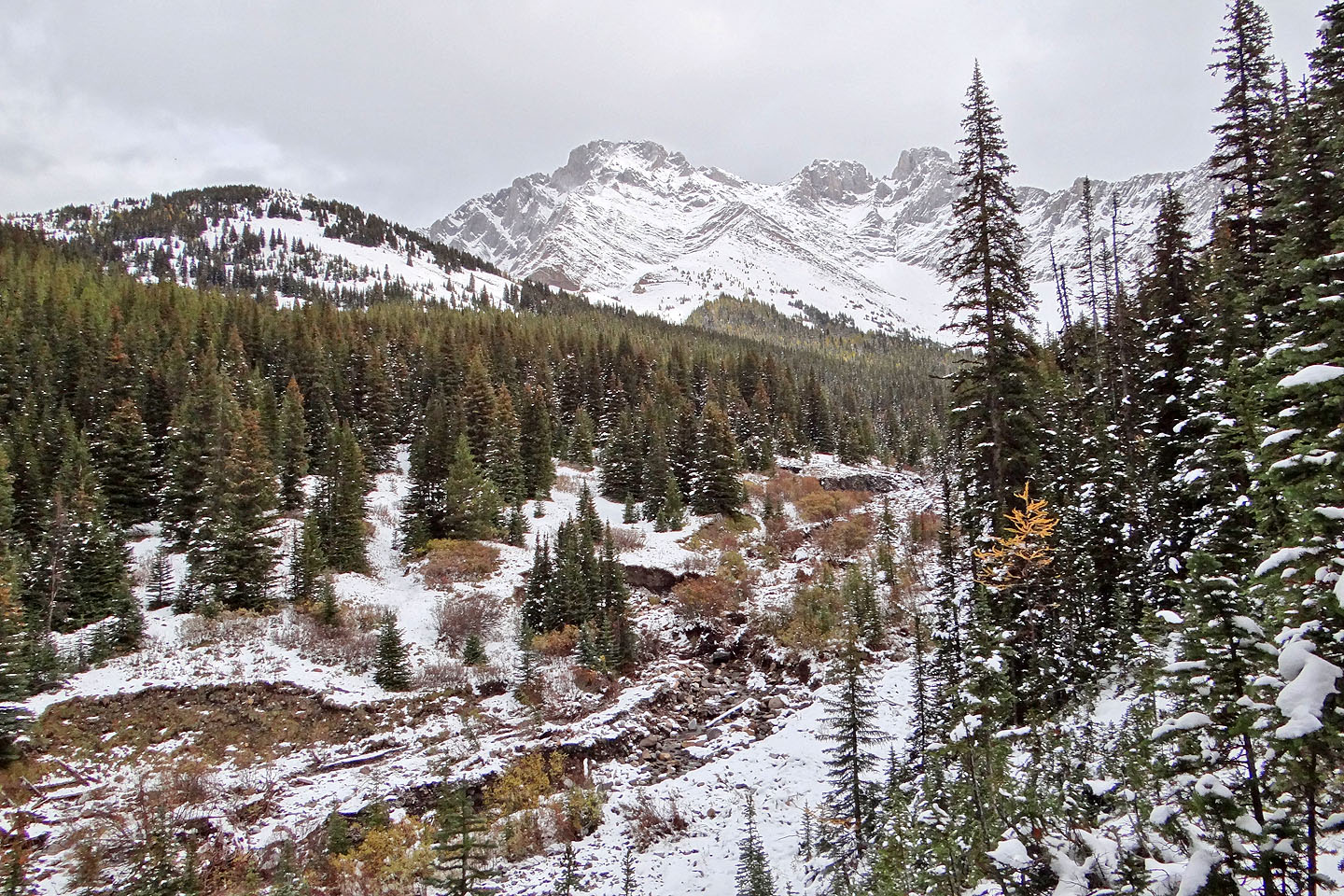
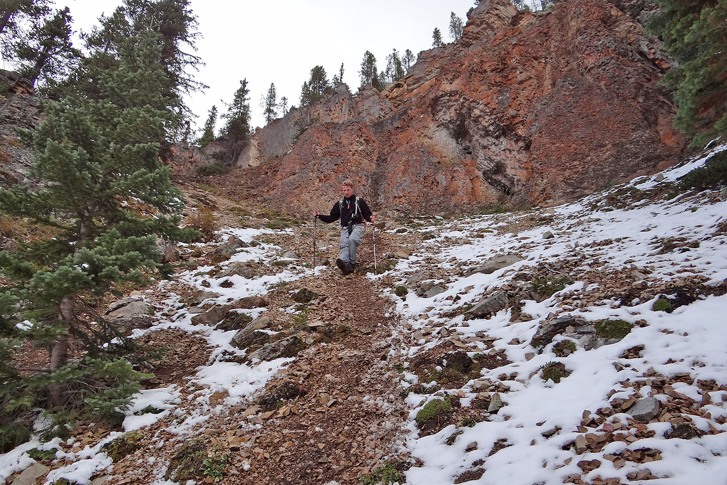
The gully was more difficult than we expected. The floor was a mix of dirt and scree, but so steep and hard that we had to kick-step up in places. (Later we realized it was frozen; it was soft when we came down in the afternoon.) At the top of the gully, the trail forked: right for the hiking trail down to Valleyview Trail and left for Opal Creek Trail. We started up the latter, barely visible under the snow as we had reached the snow line. For a time, the trail traversed well above Opal Creek. Breaks in the trees afforded us a close view of Mount Wintour. The trail eventually meets the creek, but we abandoned it before that. Just before the trail drops to the creek, there's an avalanche gully. We went up it.
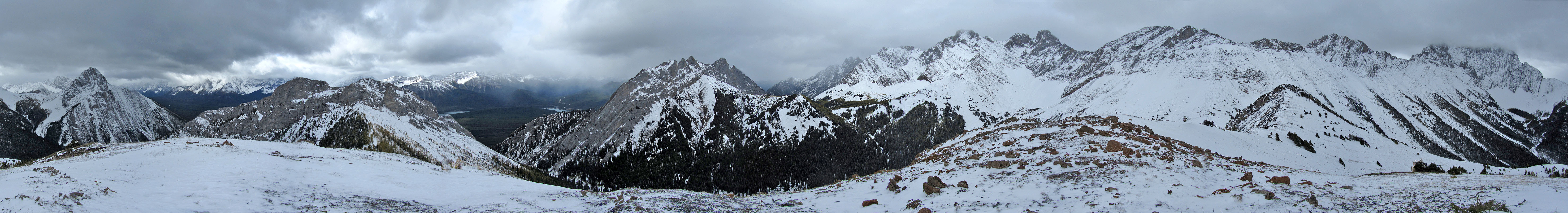
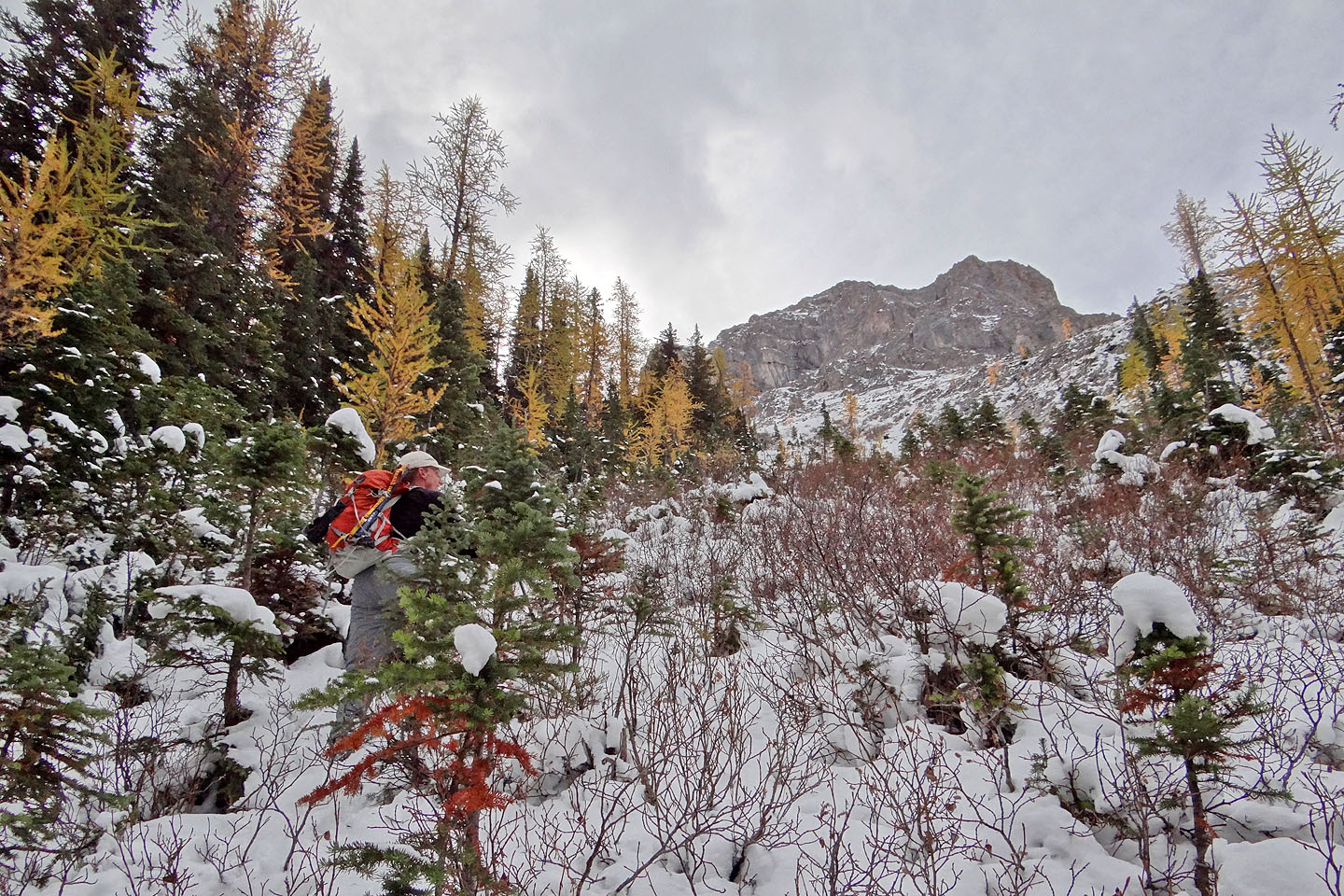
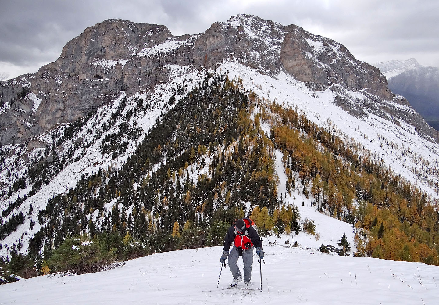
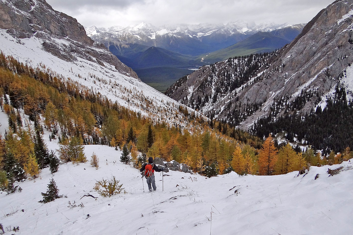
Dense pines lined the gully, but they eventually disappeared, and we found ourselves mid-slope among scattered larches. Elpoca Creek Hill was in sight 700 m away. But first we traversed the slope to reach the col (above us was an unnamed peak). Both the col and summit were free of trees, and we easily hiked to the summit. Too bad the weather hadn't cooperated that day. Dark clouds filled the sky, so views were dismal. But the poor light didn't stop Cal from pointing to the surrounding peaks and naming them. In an impressive display of mountain knowledge, he recognized even distant peaks, little more than gray smudges against a gray backdrop. I nodded and pretended I recognized them too.
We lingered on the summit for half an hour before heading back down, following our footprints in the snow. We didn't do the loop for Elpoca Creek Hill that we planned, and gray skies dulled the yellow larches I had looked forward to seeing. But we made the summit and enjoyed the journey. Sometimes that's enough.
KML and GPX Tracks
Cal's Photos
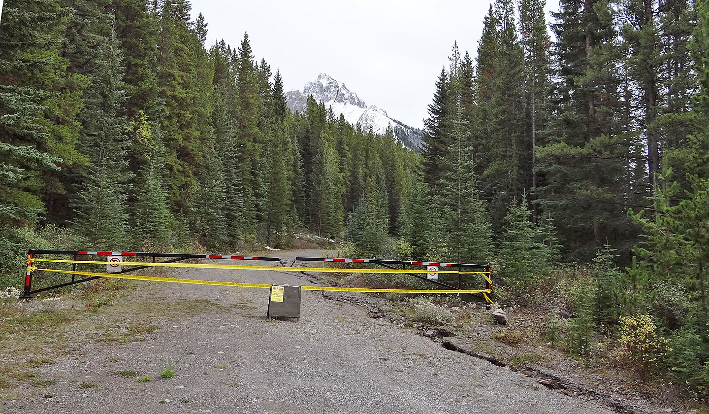
Valleyview trail serves as both approach and exit for the hiking loop to
Elpoca Creek Hill but was closed due to bear activity
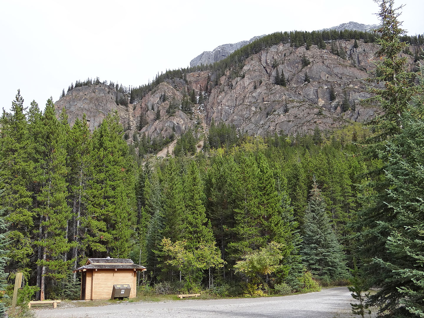
We scrambled up the scree gully on the right (mouse over for a close-up)
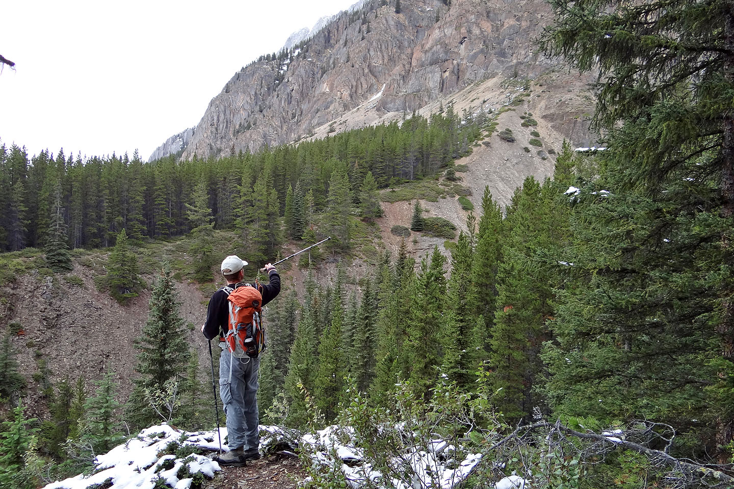
From a viewpoint near the trail next to Opal Creek, we tried to see the waterfalls but had no luck
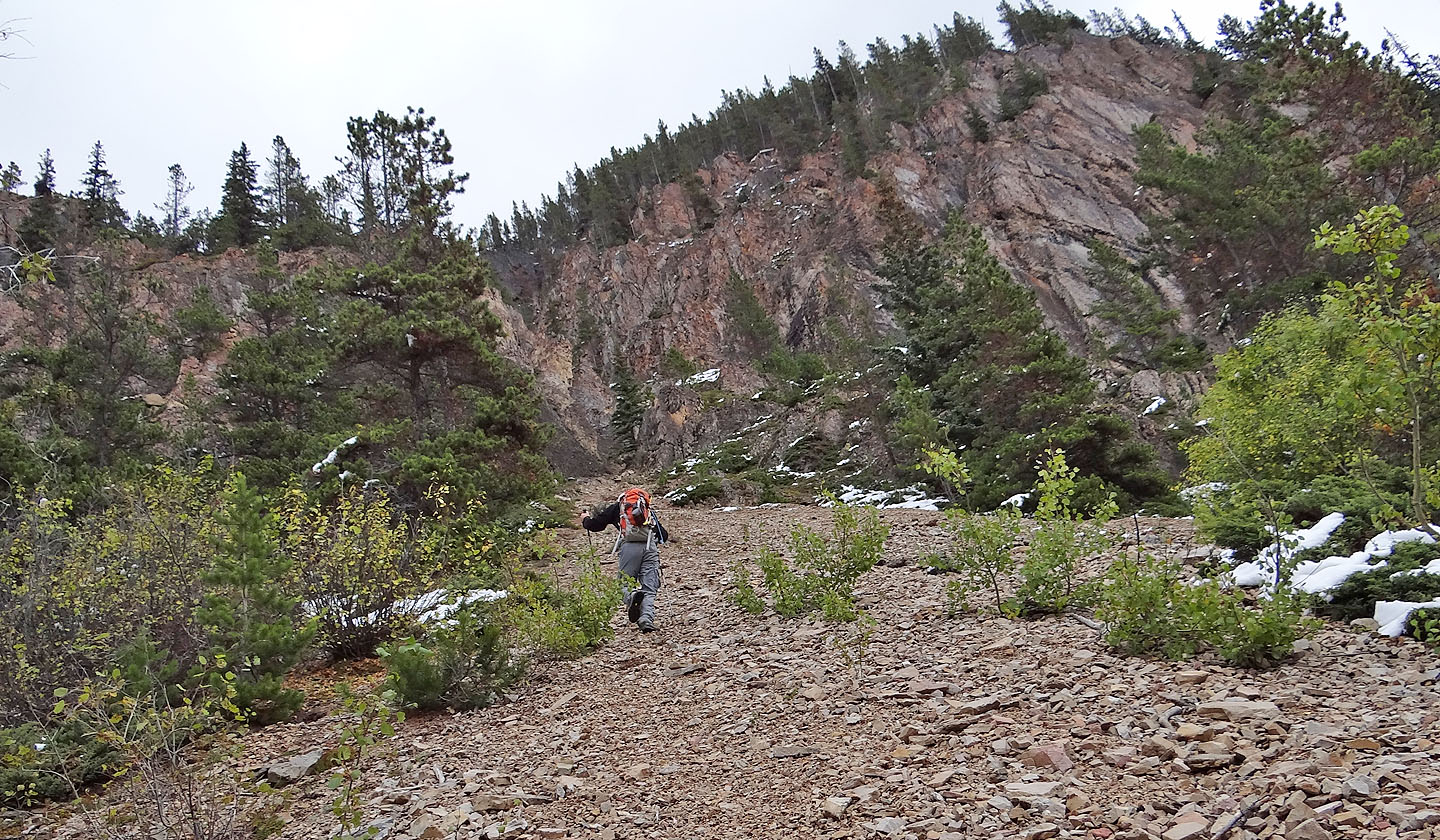
Heading to the scree gully
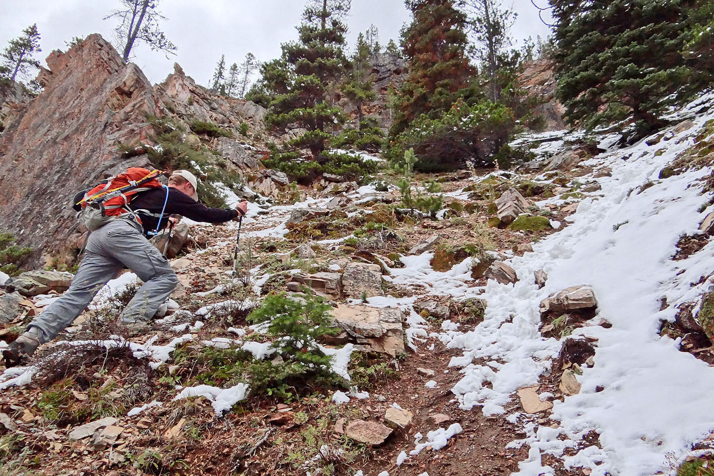
Cal pushes up the steep gully
Nearing the top of the gully
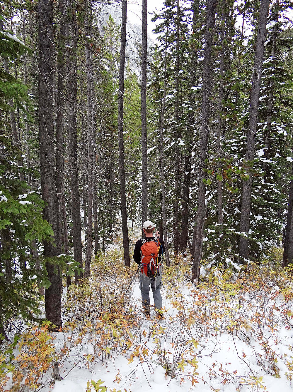
The trail continues in the trees
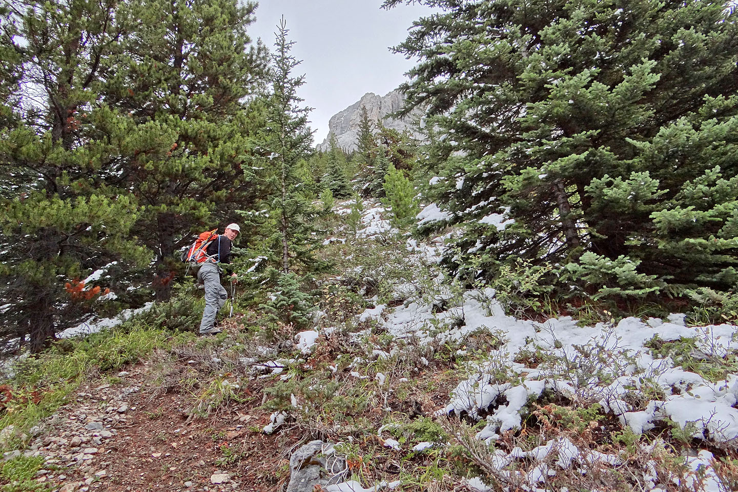
It climbs toward an unnamed peak before leveling off
The trail traverses well above Opal Creek
Mount Wintour
The trail drops down to Opal Creek, but we turned up the avalanche gully behind us
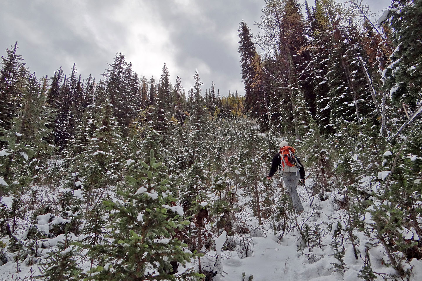
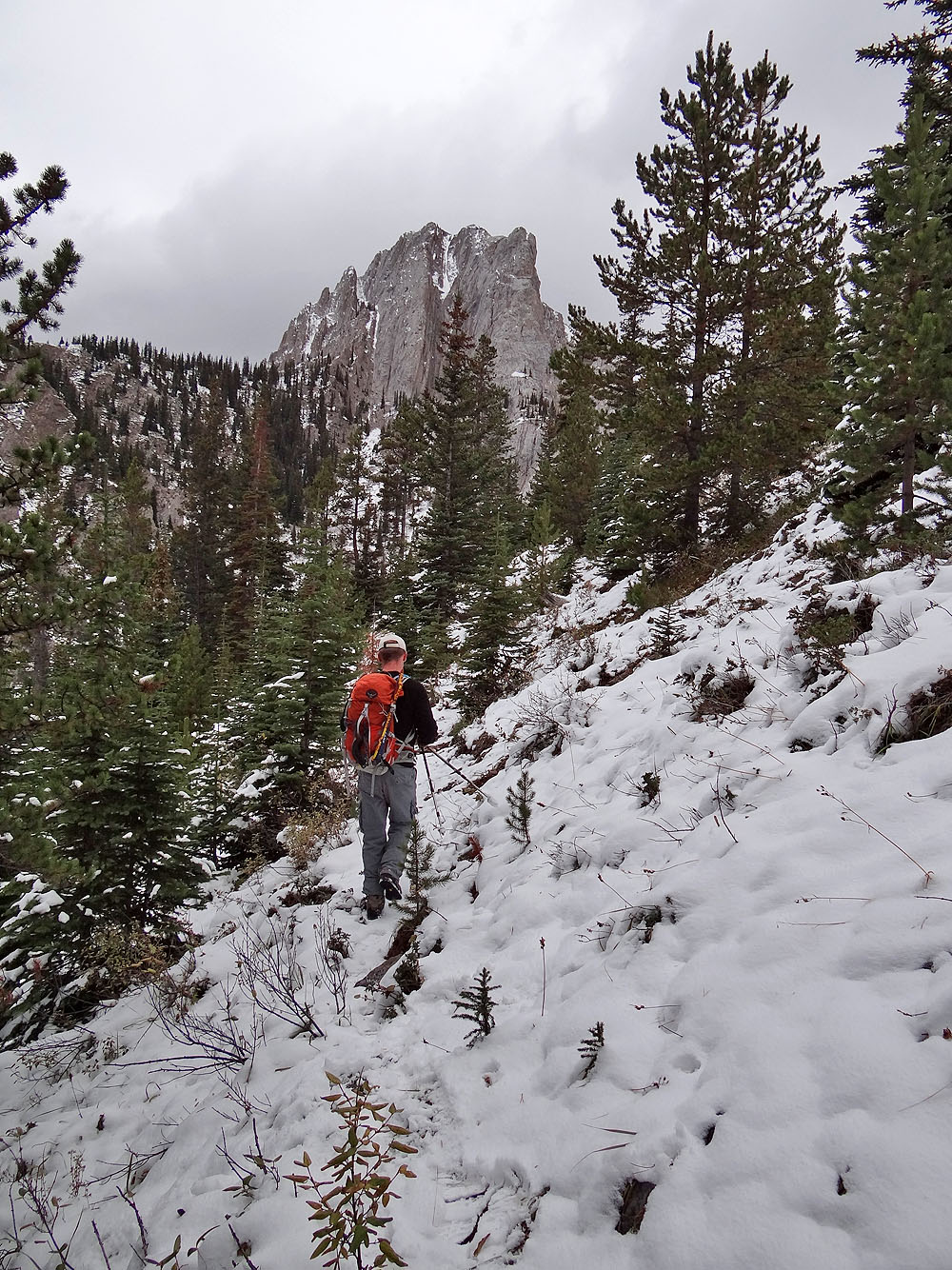
Starting up the avalanche gully
At the top of the gully, after the trees on the left thinned, we'll start traversing to the col
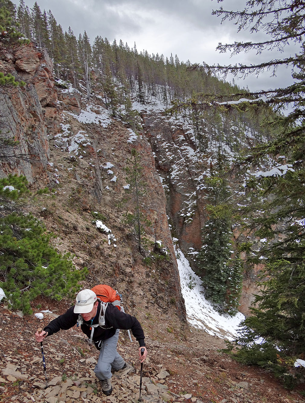
Looking down the gully
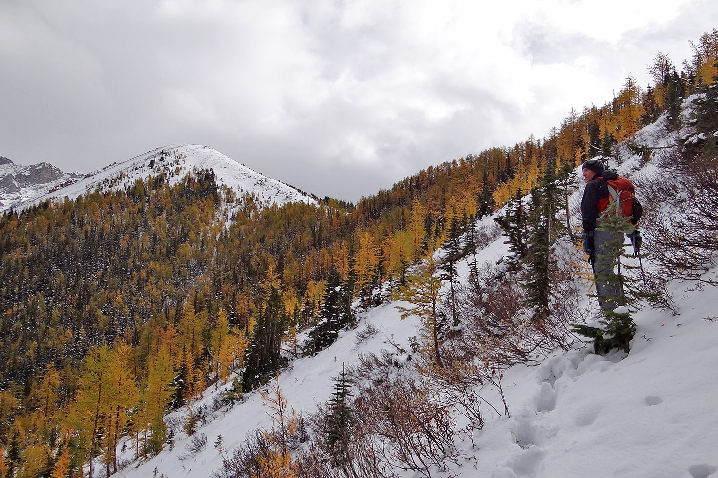
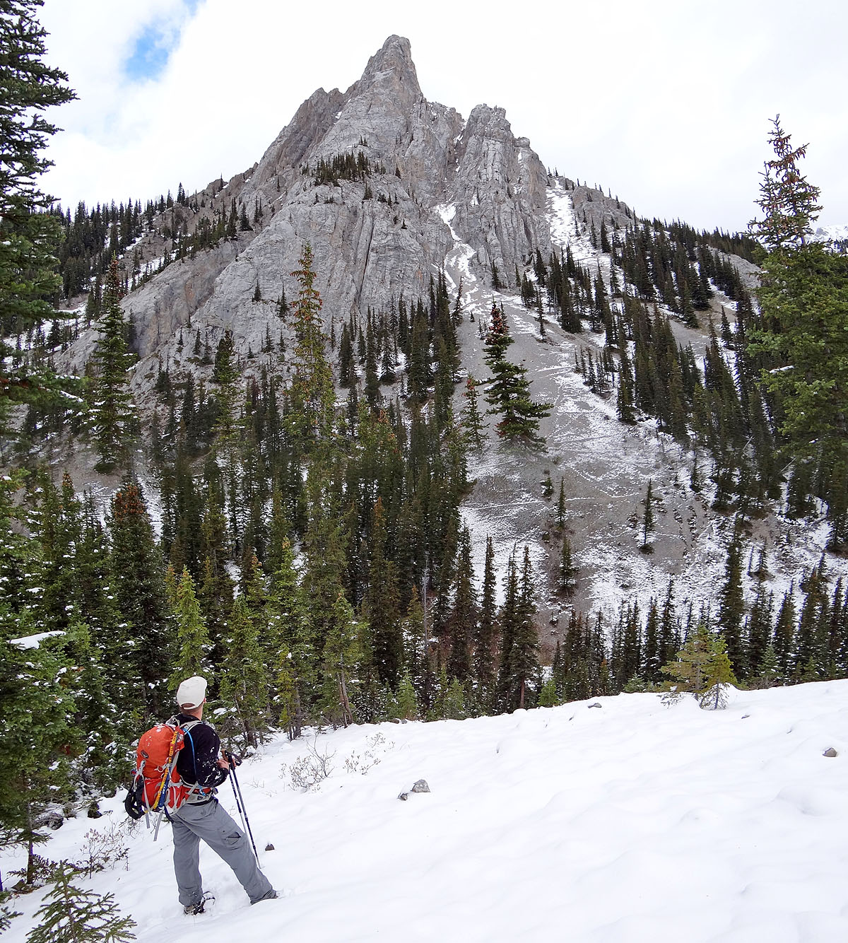
Elpoca Creek Hill
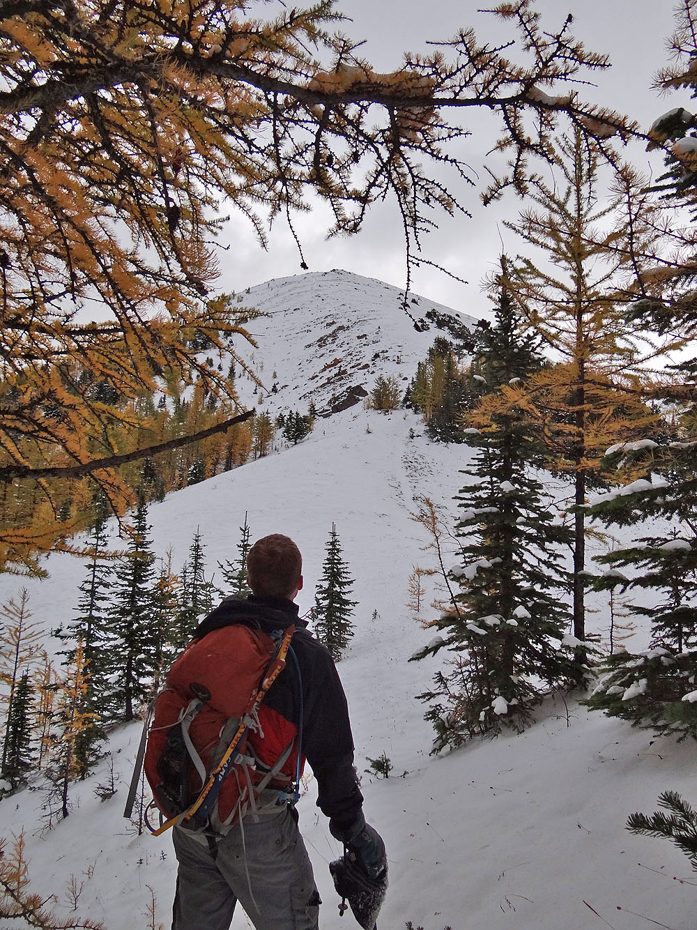
Almost at the col
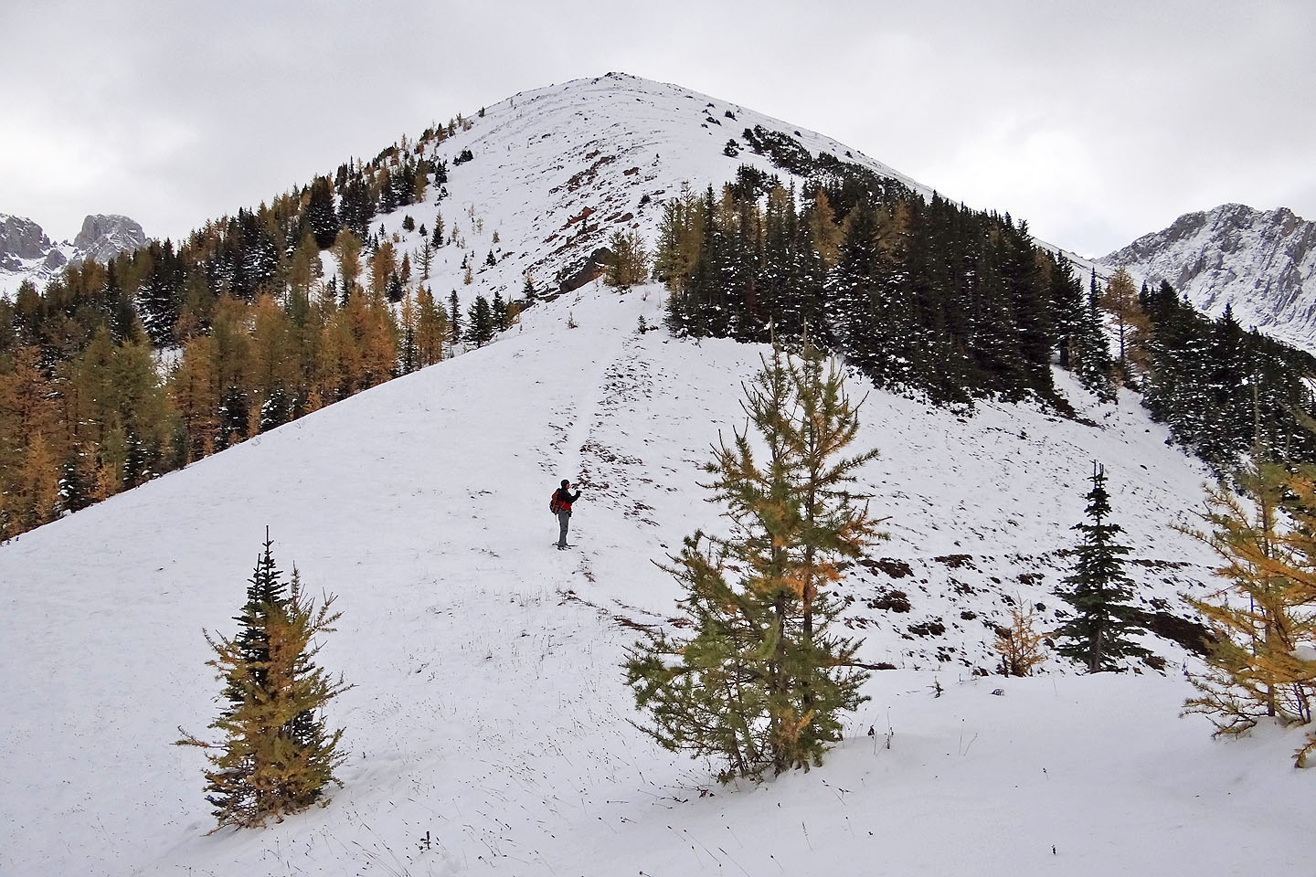
The ascent from the col was easy
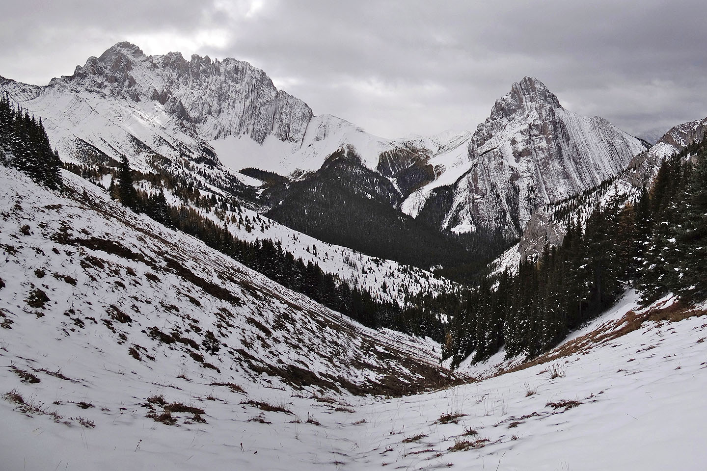
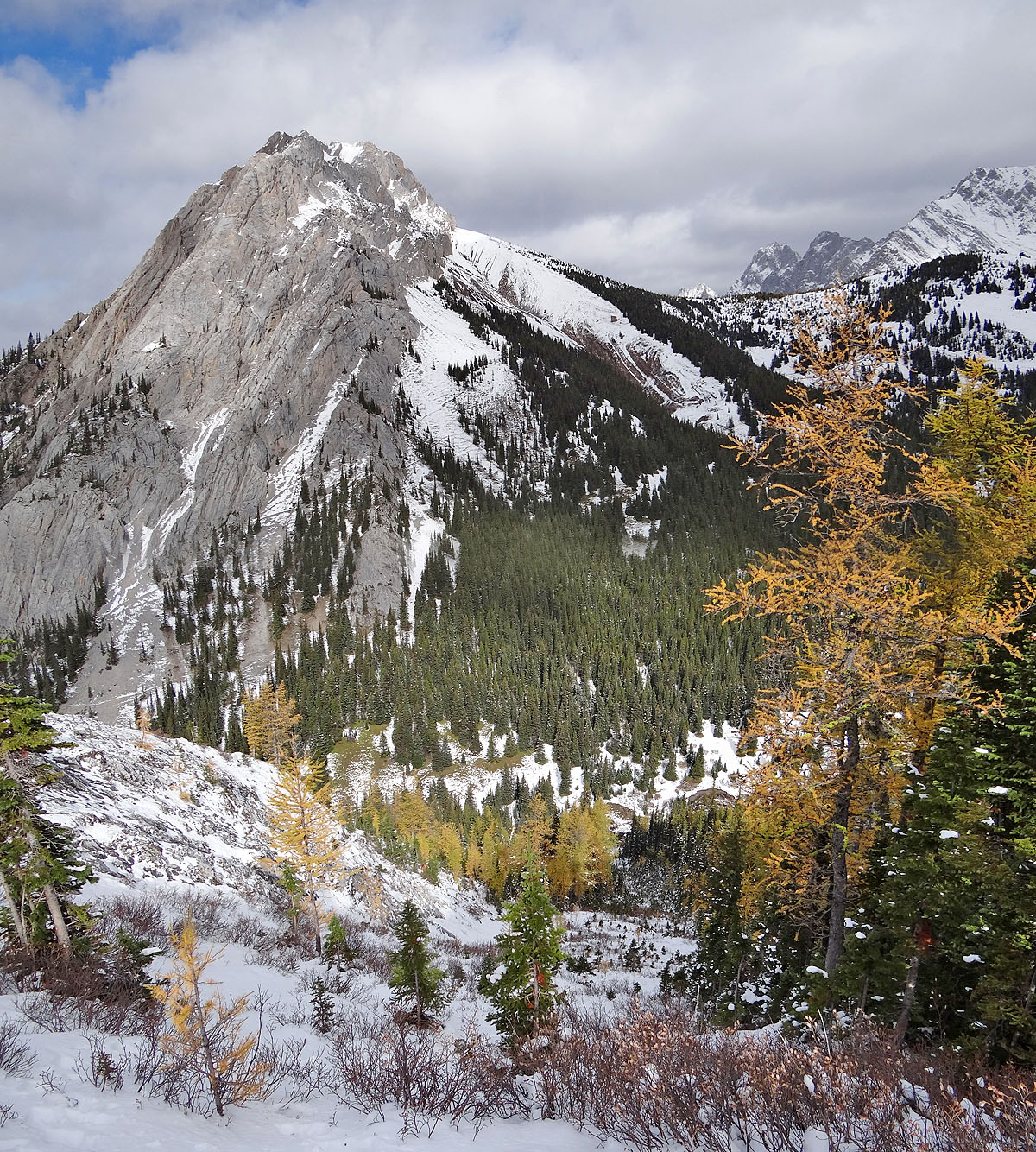
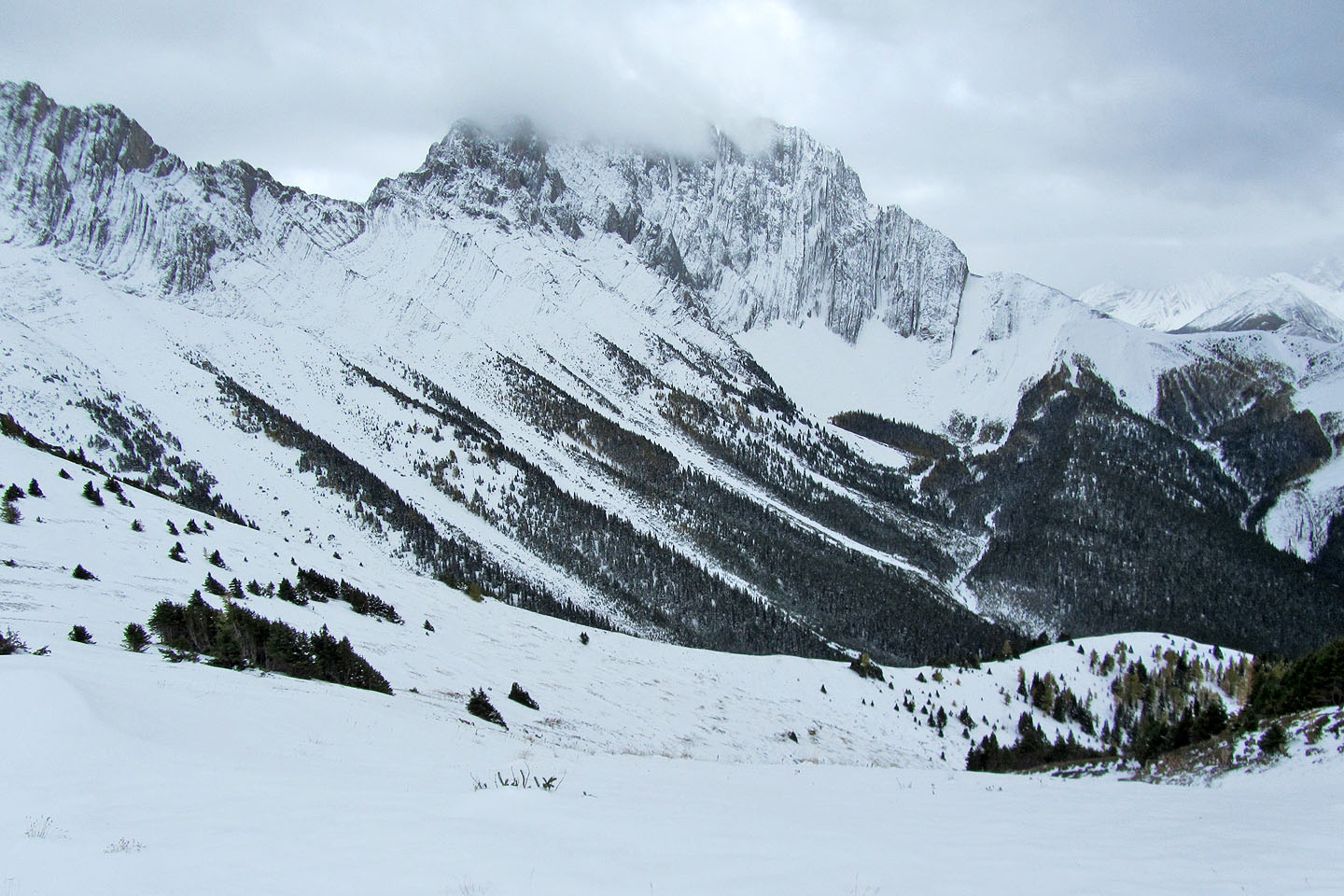
Elpoca Mountain and Gap Mountain from the col
Looking back at the col and an unnamed peak
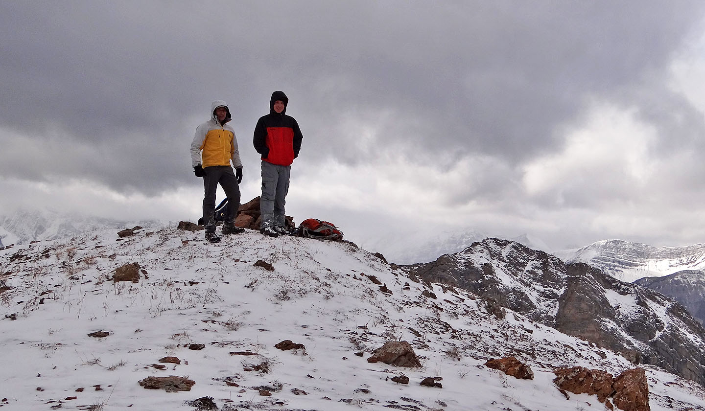
The summit of Elpoca Creek Hill
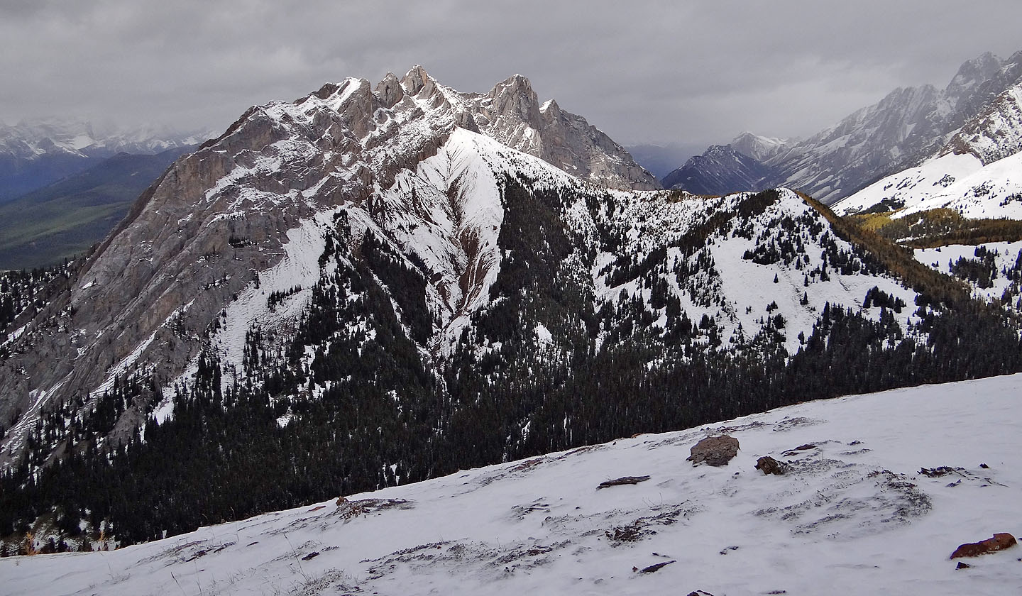
The spur below, stretching across the photo, is the ascent we would have used if the road
hadn't been closed
Mount Wintour from the summit
Heading back down to the col
Coming down the scree gully
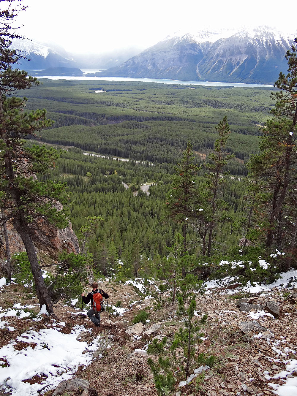
Hazy view of Kananaskis Lakes from the gully
82 J/11 Kananaskis Lakes