bobspirko.ca | Home | Canada Trips | US Trips | Hiking | Snowshoeing | MAP | About
Cliffside and Valleyside Ridges
Kananaskis, Alberta
October 2, 2020
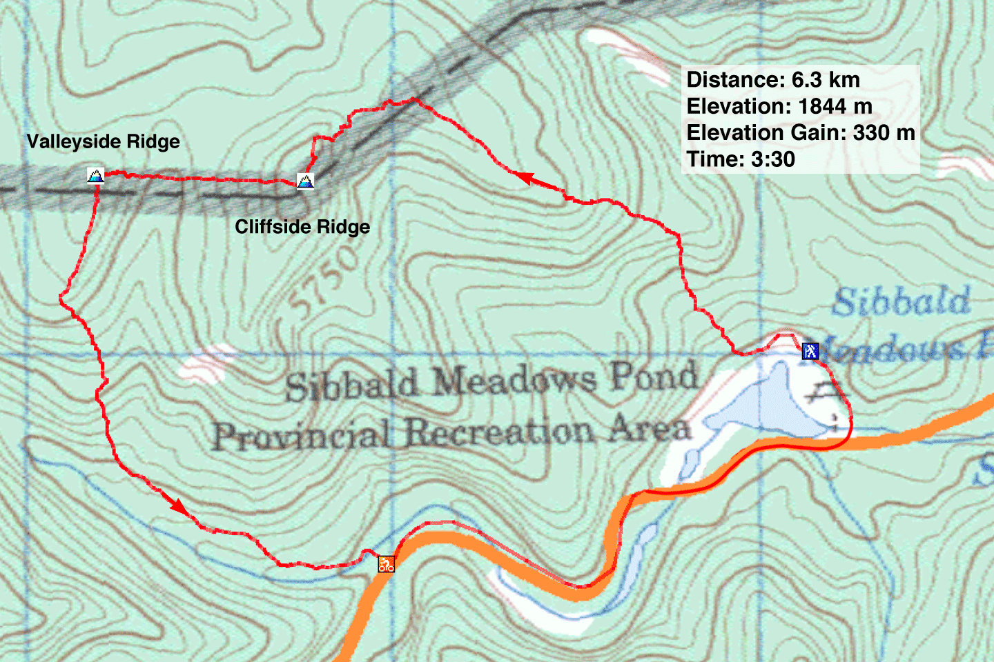
Distance: 6.3 km (3.9 mi)
Cumulative Elevation Gain: 397 m (1302 ft)
Lacking a trail and bearing viewless summits, Cliffside Ridge and Valleyside Ridge will likely land on few hikers' lists. However, they may appeal to those wishing to bag two peaks in a couple of hours just a short drive from Calgary. They can be found on AllTrails.
To climb both ridges, I planned a counterclockwise route. I started at Sibbald Meadows Pond Provincial Recreation Area, a serene setting that included an osprey flying around the pond. I hiked up Cliffside, followed a cutline to Valleyside, and then made my way down to the road where I had stashed my bike. The ride back to the parking lot was less than 2 km.
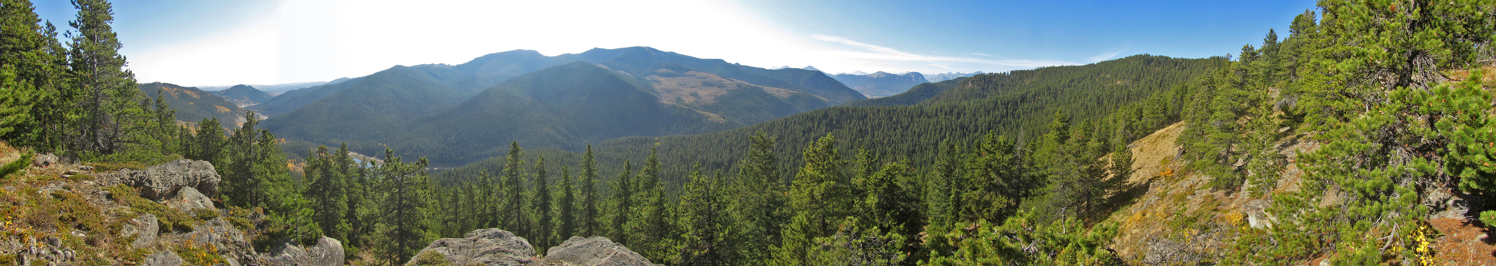
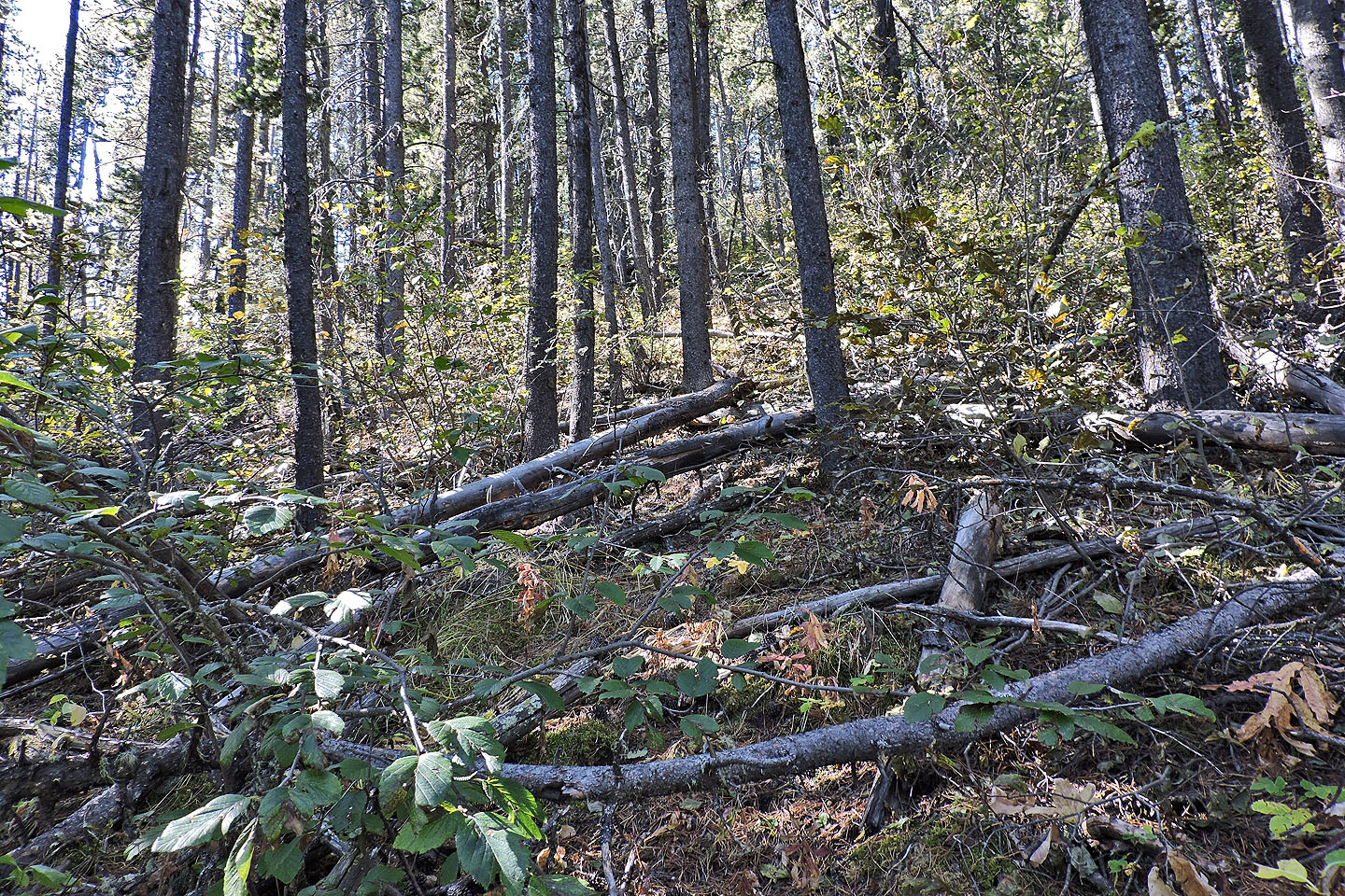
Here are the details. From the parking lot, I walked 250 m along the pond trail before starting my ascent. It was bushy at first, but I soon settled into a narrow corridor in the trees. This led to a clifftop that offered the best views on the trip. From there, I followed the southeast ridge to the summit. What began as a pleasant hike, however, degenerated into a bushwhacking challenge 300 m before the summit. After backtracking a few times to correct my course, I learned it was best to keep left of deadfall and dense brush.
When I reached the summit of Cliffside Ridge, I was surprised to find a neat pile of rocks. It wasn't a summit cairn, however, but a cairn bearing a survey marker. After taking a break, I turned my attention to Valleyside Ridge. I could view it clearly down the narrow cutline that connects the two summits. I also noted the 80-m drop and subsequent 60-m climb to Valleyside.
The cutline is actually the park boundary. Through it runs a fence. Likely clear at one time, vegetation has since encroached on the space on either side of the fence in a few spots. But travel was generally easy until just below the summit of Valleyside. Here I gave bushes and deadfall a wide berth. On the summit, I found another survey cairn.
I soon started down the south ridge. I had to drop down the slope on my left somewhere, but it was steep. I thought I could find a better spot, but when I reached a clifftop running in the wrong direction, I knew I had gone too far. After backtracking several dozen meters, I found the perfect place to escape the ridge. I could now head to a clearing for which I had a waypoint.
After reaching the clearing, I descended to the cutblock in the valley below and started following it out. Before reaching the road, though, I turned right to catch a crude trail; my bike was stashed at the trailhead. I cycled back to my car, stopping to take a photo of the west end of Sibbald Meadows Pond. It was a nice scene. Perhaps instead, I should've walked back to my car so I could have hiked the rest of the pond trail.
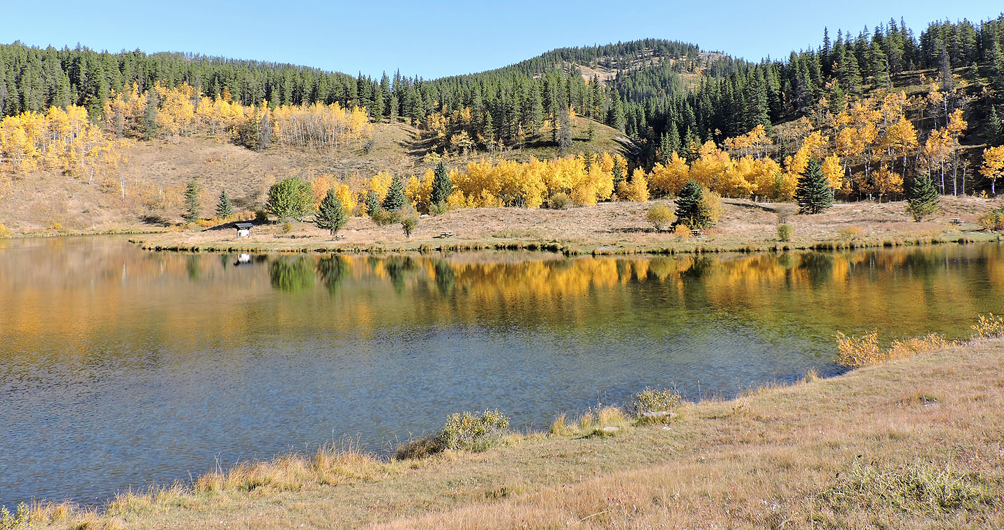
Sibbald Meadows Pond
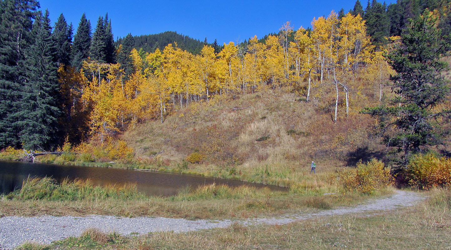
The route begins left, in the yellow aspens, and climbs the ridge in the centre
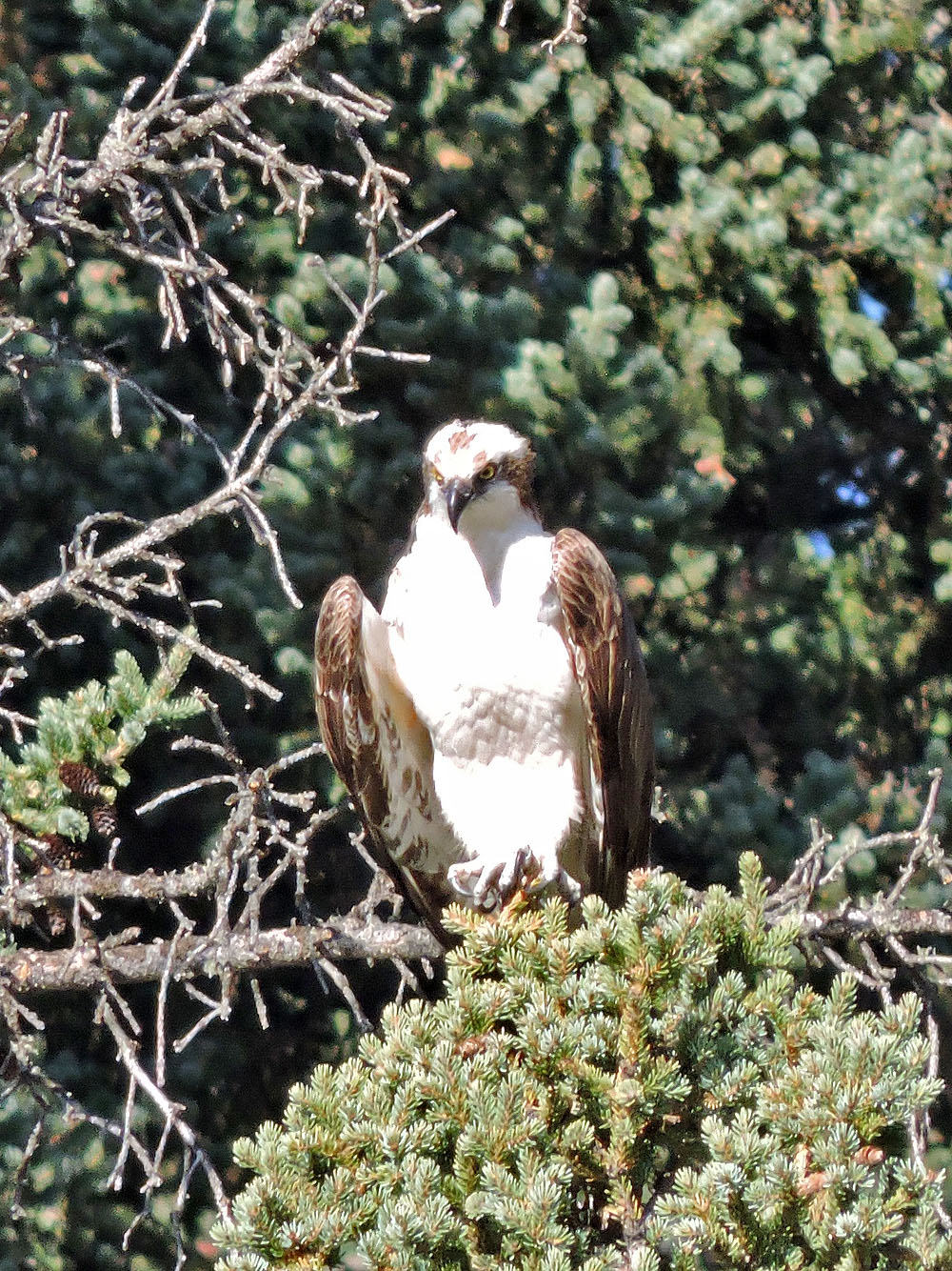
An osprey is about to fly from one of the trees overlooking the pond
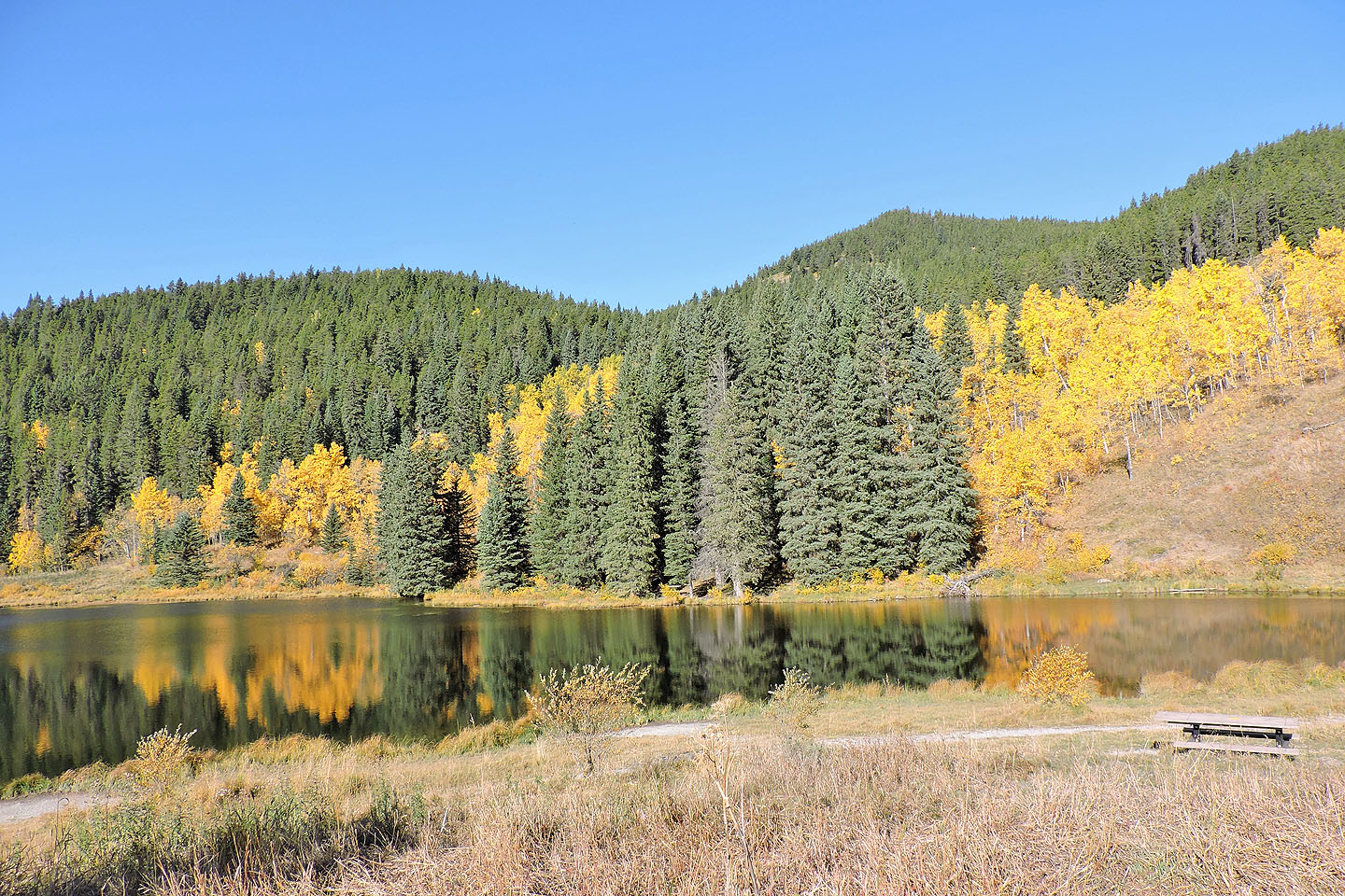
I started hiking along the shore trail
I left the trail and started up the slope
I soon gained the ridge on my right
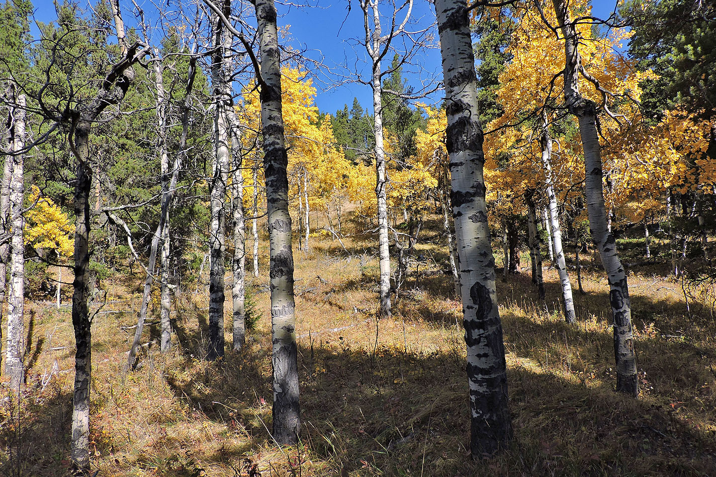
Pleasant hiking up the lower slope
Looking back at the pond
I'm well above the pond now
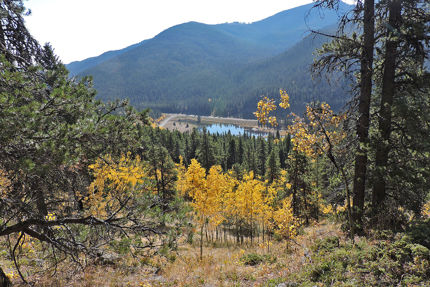
Coming to the cliffs
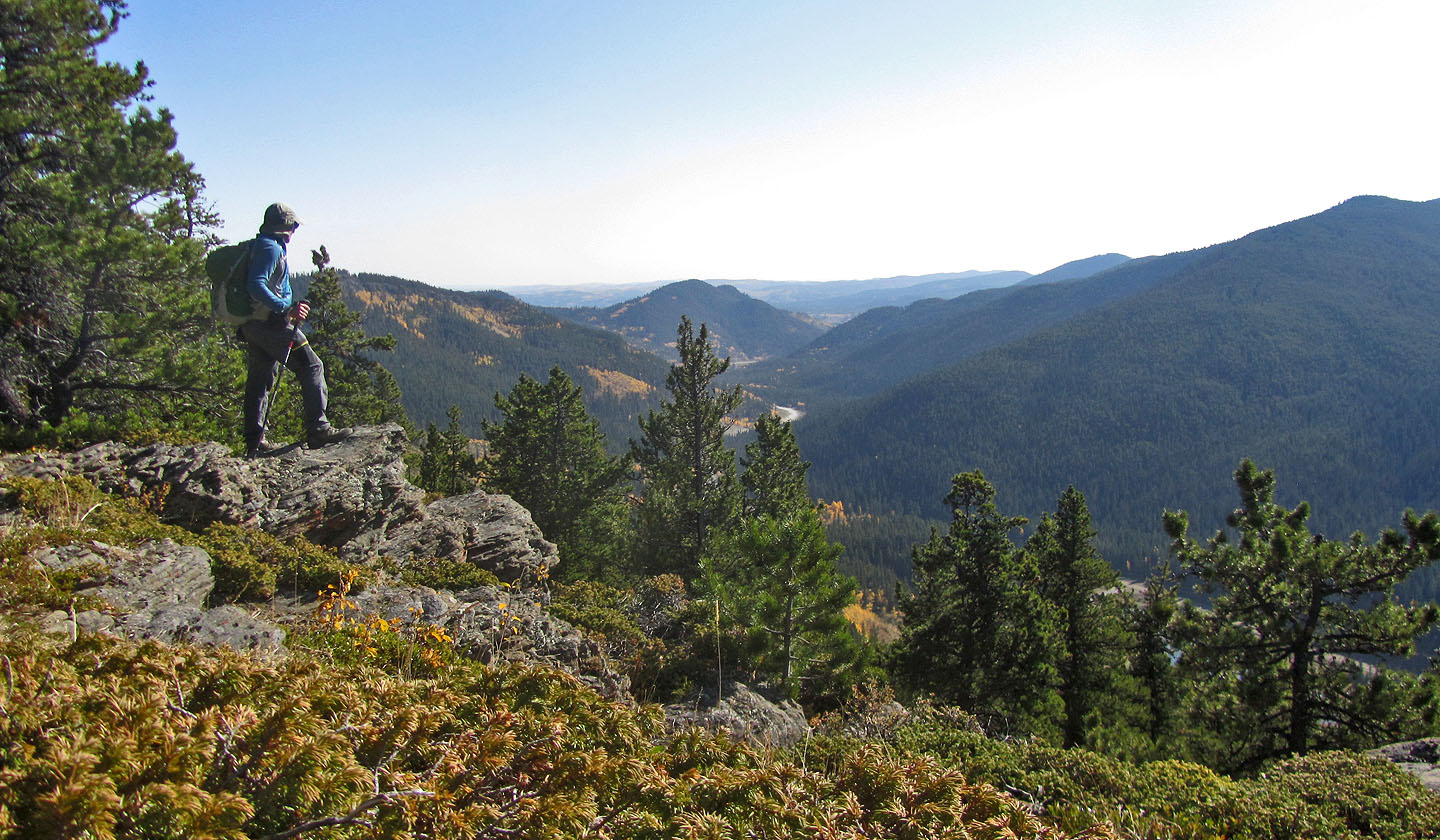
Looking east from the cliffs. Deer Ridge in the centre.
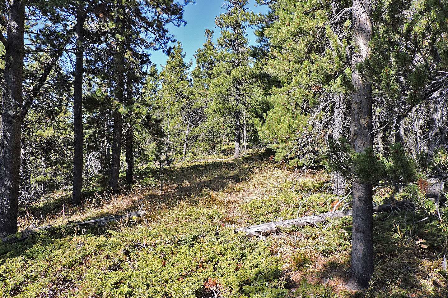
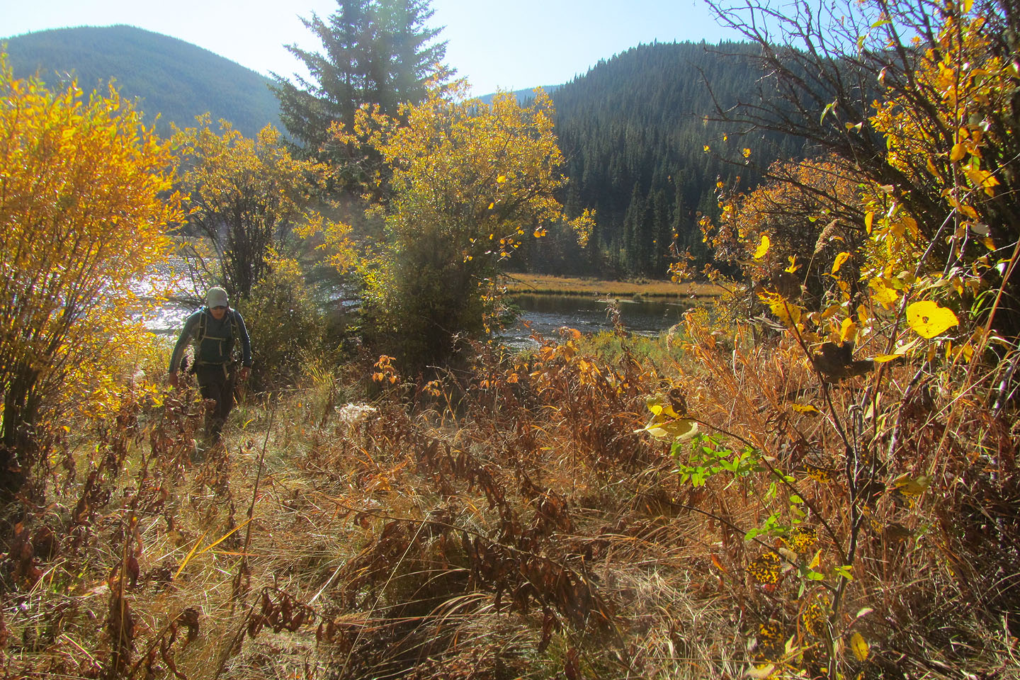
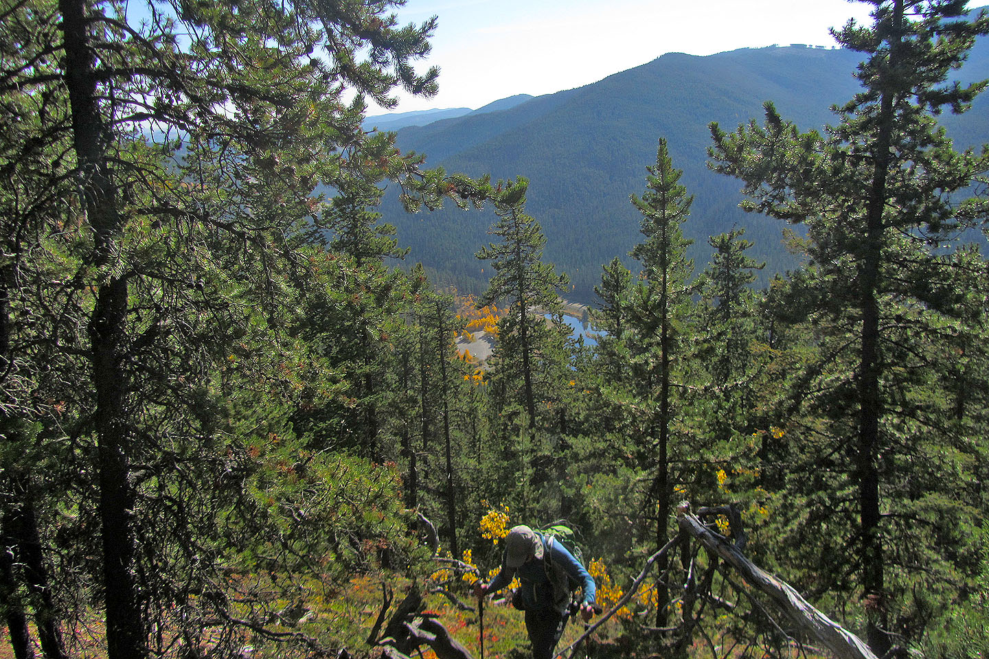
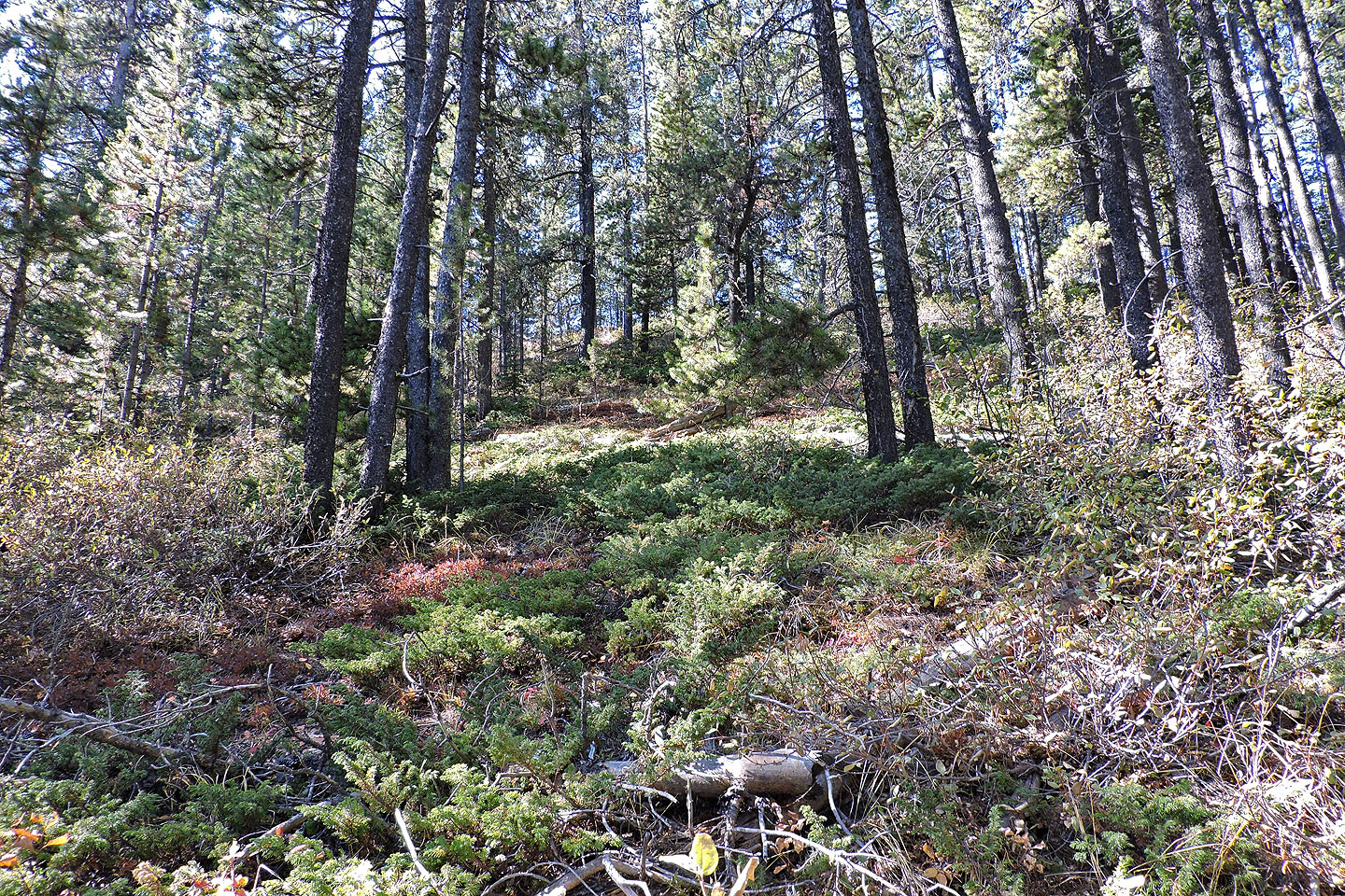
After the cliffs, the hike along the ridge was the nicest section of the route but gained little elevation
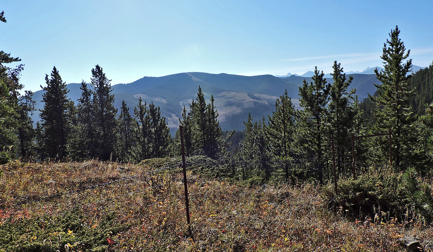
After crossing the boundary fence, I had a view of Lusk Ridge, part of Hunchback Hills
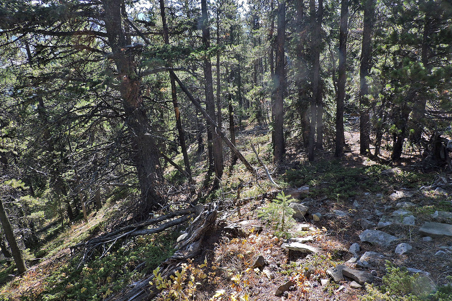
The summit of Cliffside (left) is tantalizingly close but the bushwhacking slowed me down considerably
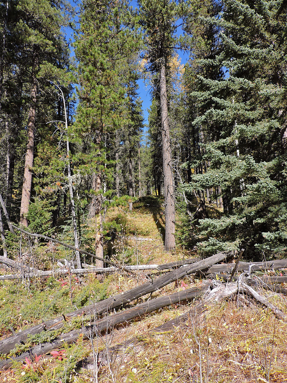
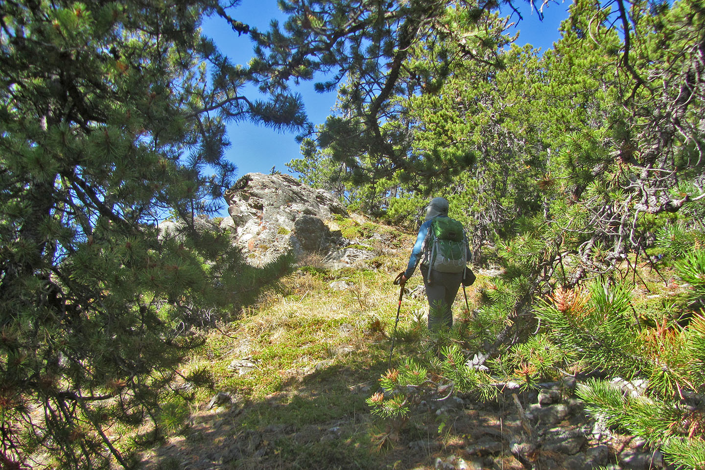
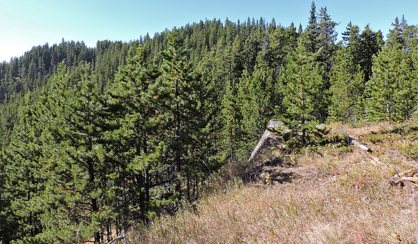
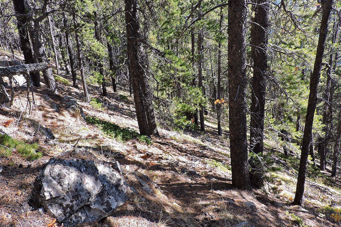
Typical landscape on the way to the summit
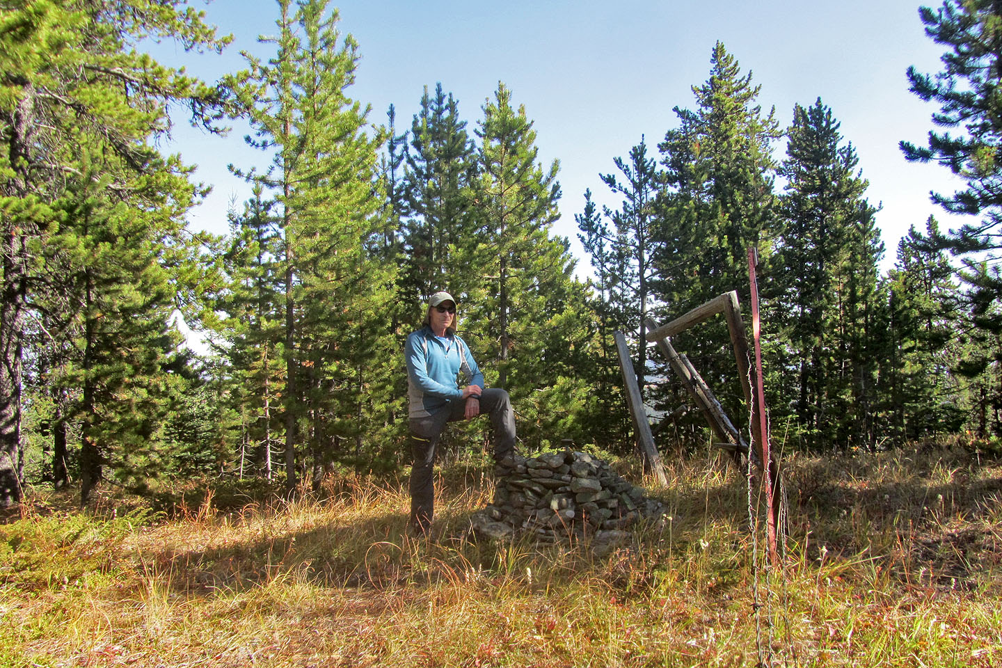
On the summit of Cliffside Ridge
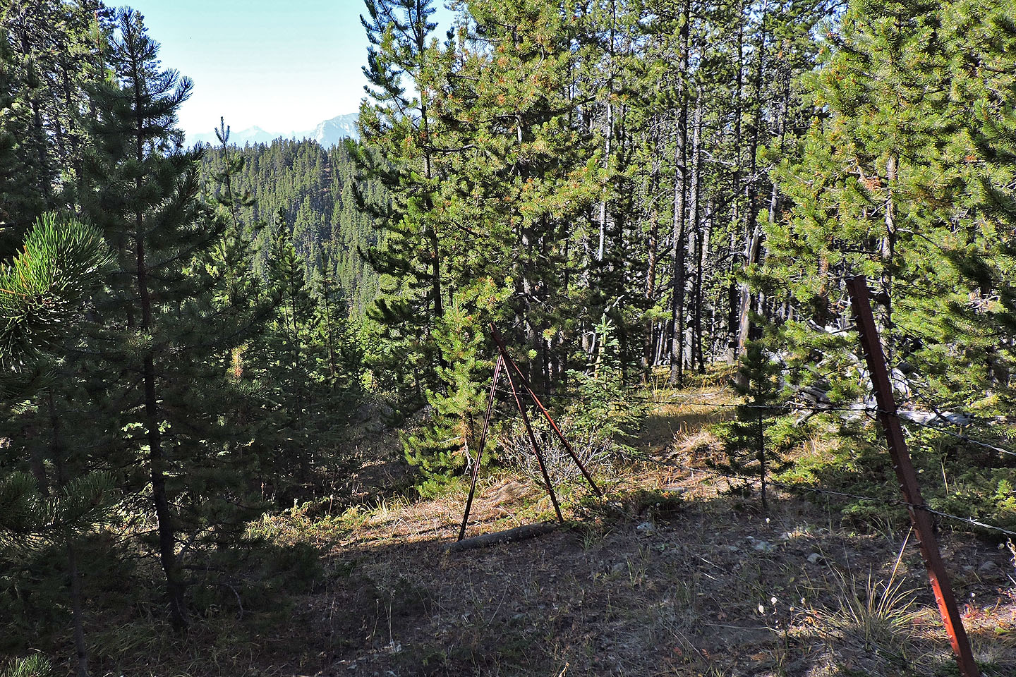
From Cliffside, I followed the border to Valleyside. I started left of the fence but ended up keeping right.
Near the summit, the cutline became bushy so I veered away from it
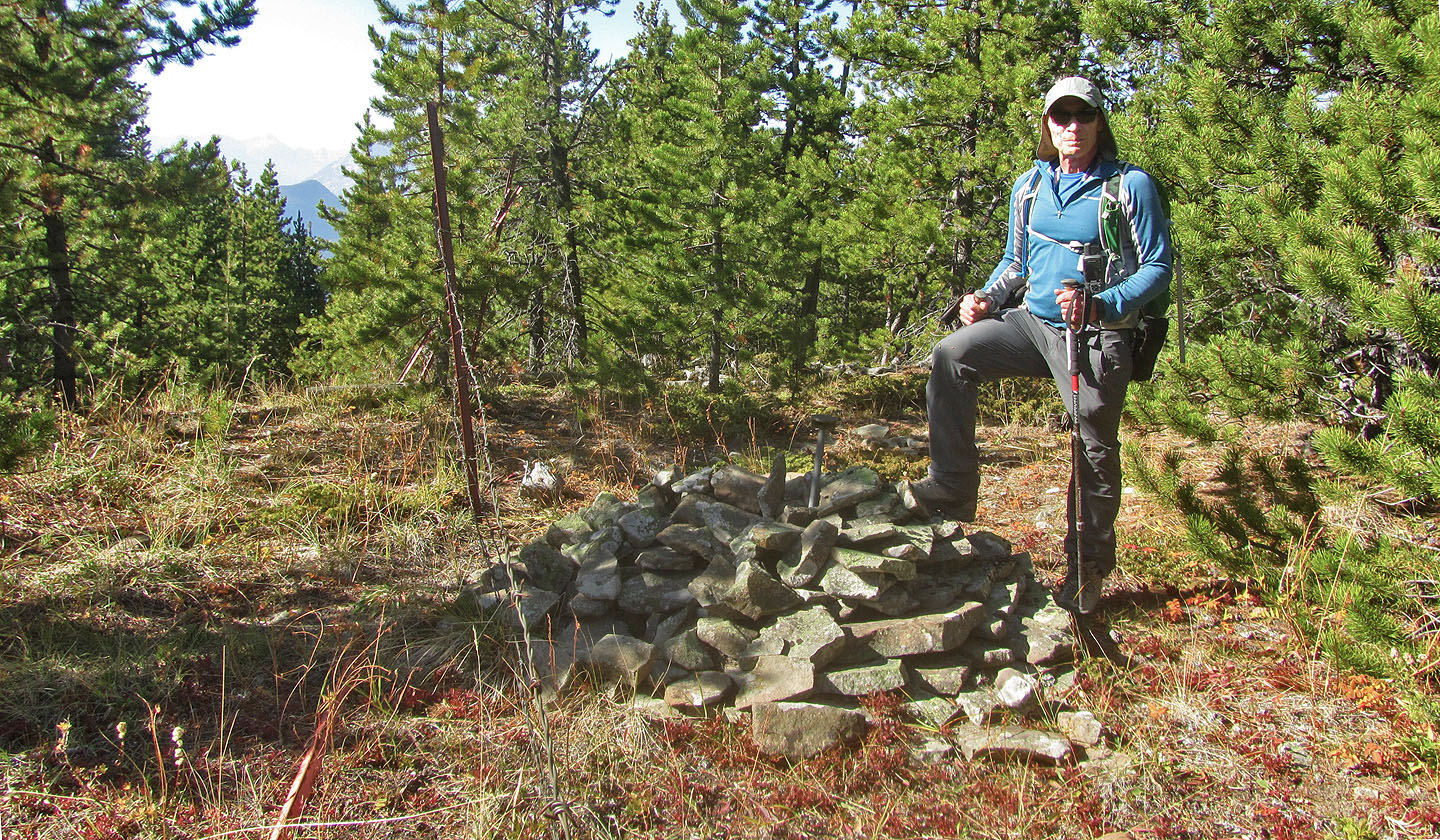
On the summit of Valleyside Ridge
From the summit, I started down the south ridge and looked for an easy place to descend the left side
After going too far down the ridge, I backtracked and found this spot to descend to the valley
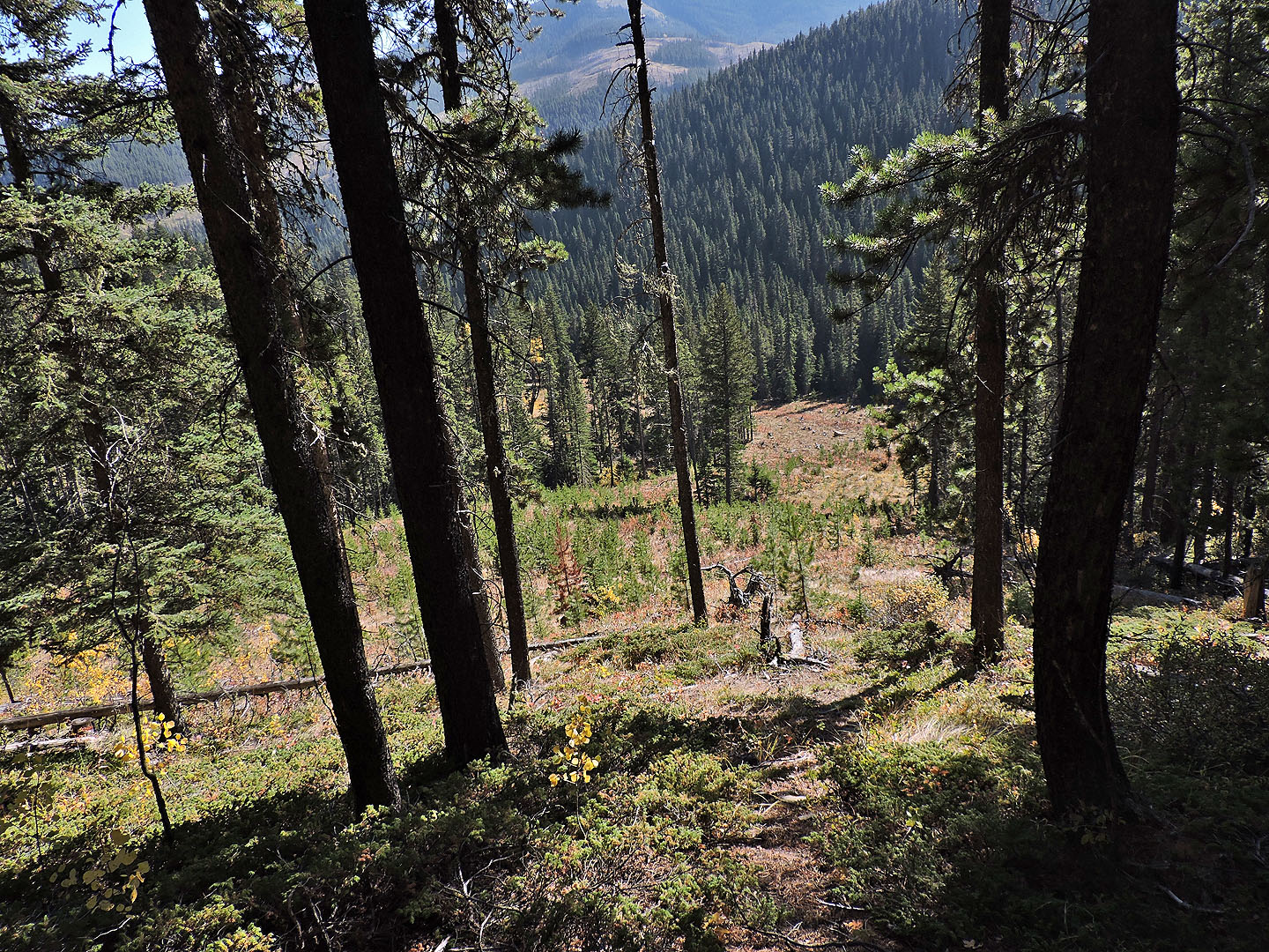
I made my way to a clearing above the valley
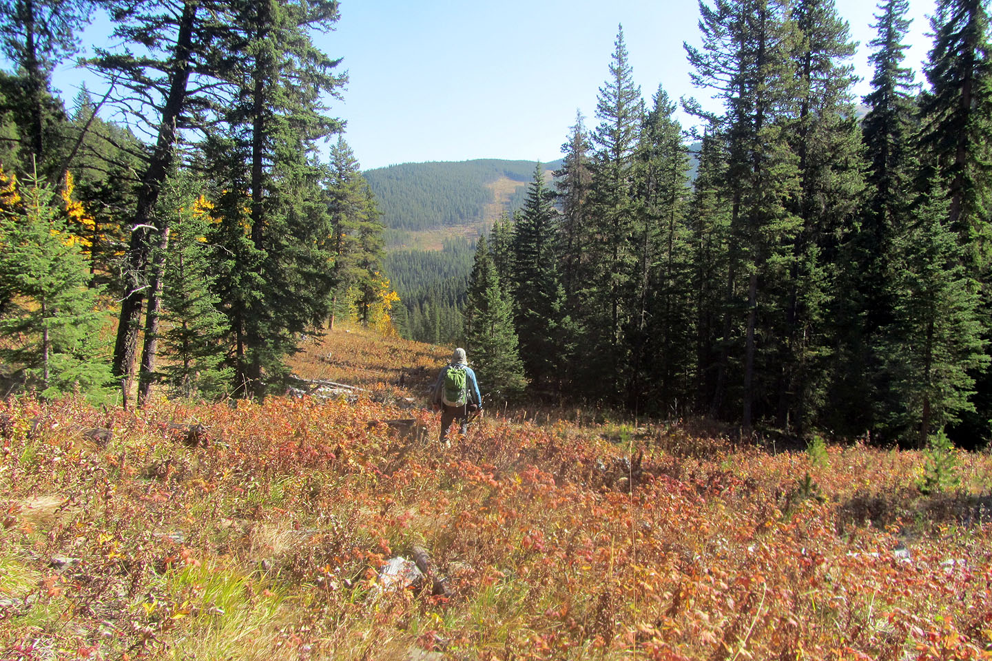
Hiking down the cutblock
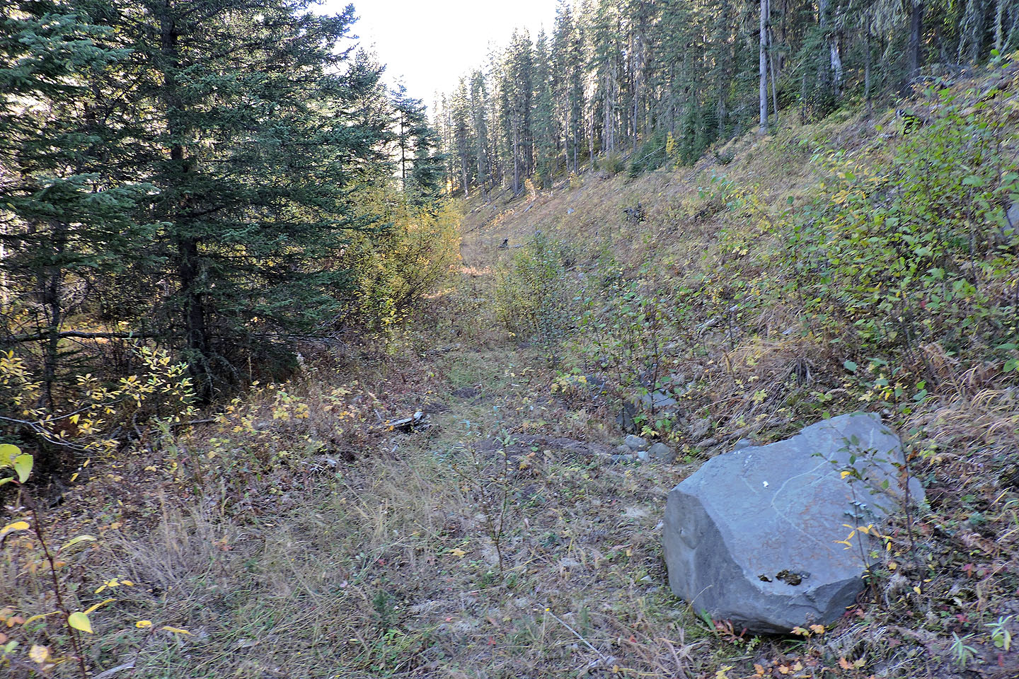
A rough trail leads back to the road
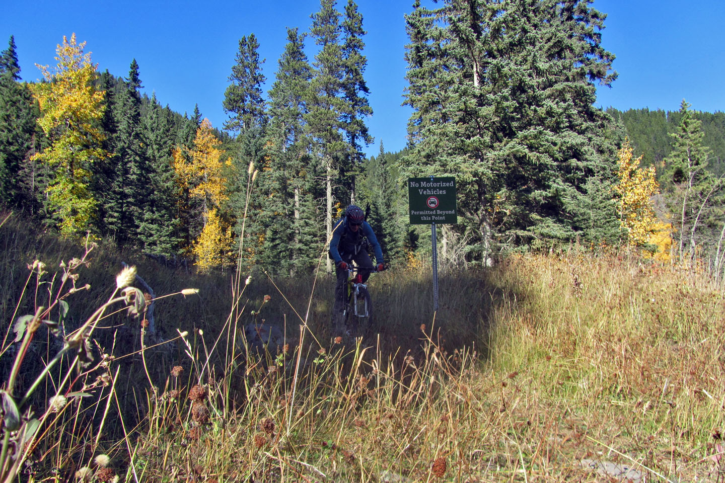
I exited the trail on my bike and cycled up the road to the pond
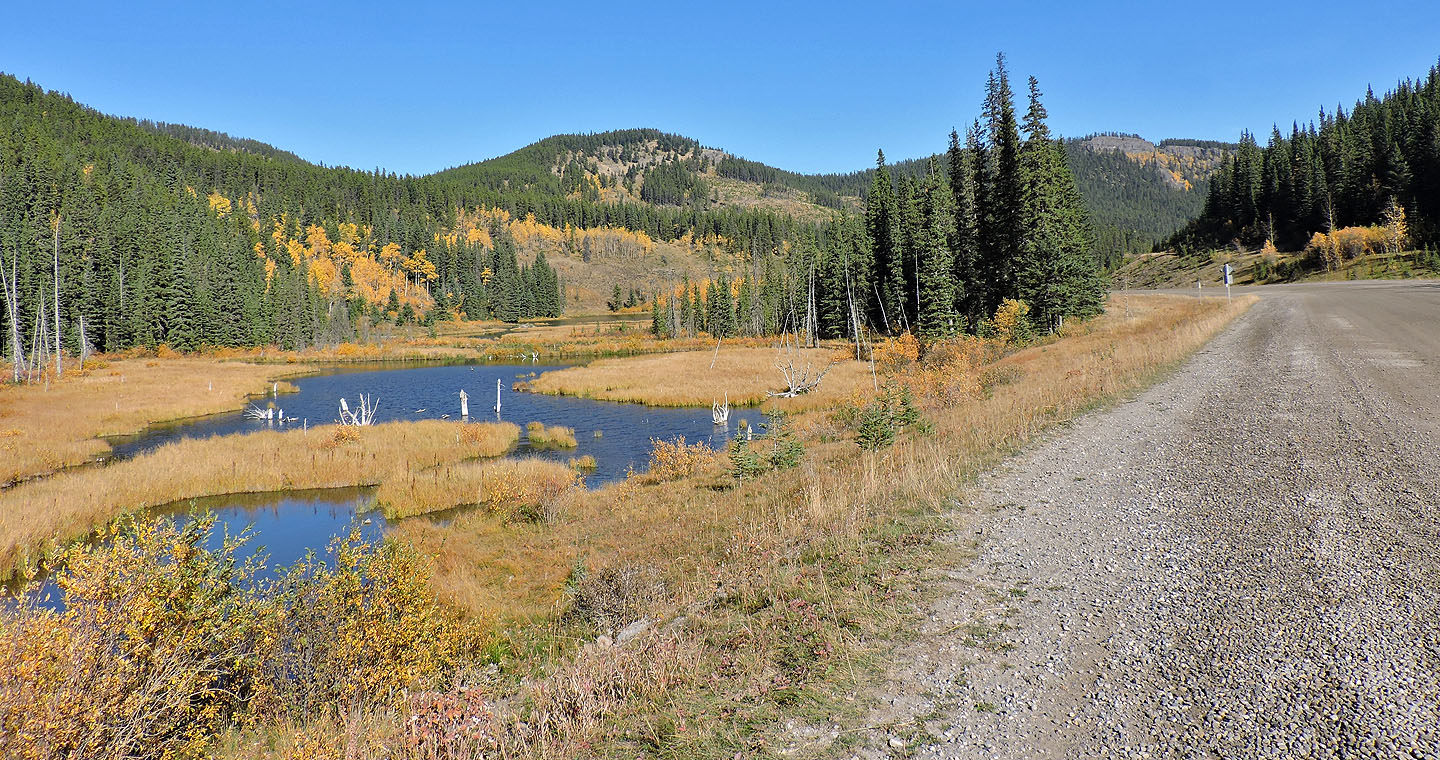
I passed the west end of the pond. The cliffs on the right are Seventy Buck Viewpoint.
82 O/2 Jumpingpound Creek