bobspirko.ca | Home | Canada Trips | US Trips | Hiking | Snowshoeing | MAP | About
Boundary Pine
Kananaskis, Alberta
November 26, 2020
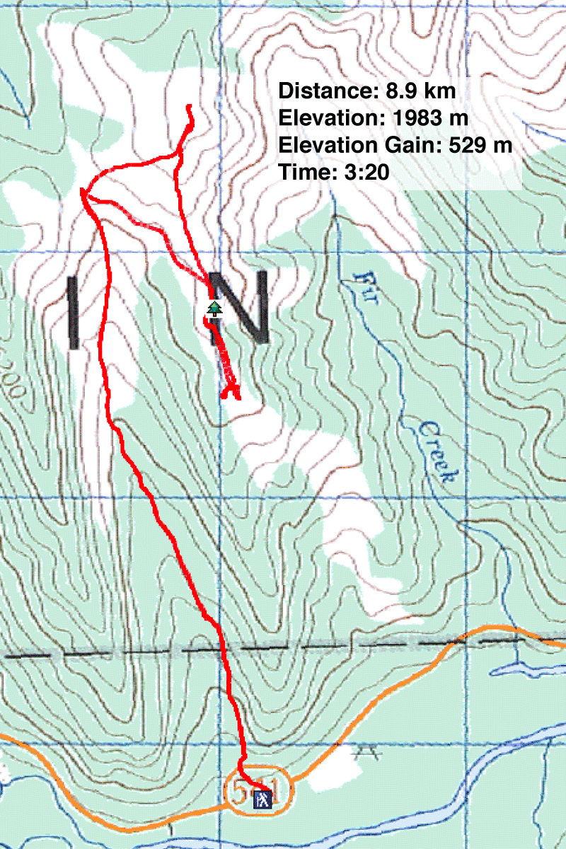
Distance: 8.9 km (5.5 mi)
Cumulative Elevation Gain: 604 m (1987 ft)
Hiking to a tree may not sound aspiring, but Boundary Pine is no ordinary tree. It has subsisted for centuries on a scenic spur on Bull Creek Hills. Even so, the venerable tree wasn't the objective we had in mind when we arrived at Highwood Junction, but Dinah and I set aside loftier ambitions when we heard the wind roaring through the mountains like a 747.
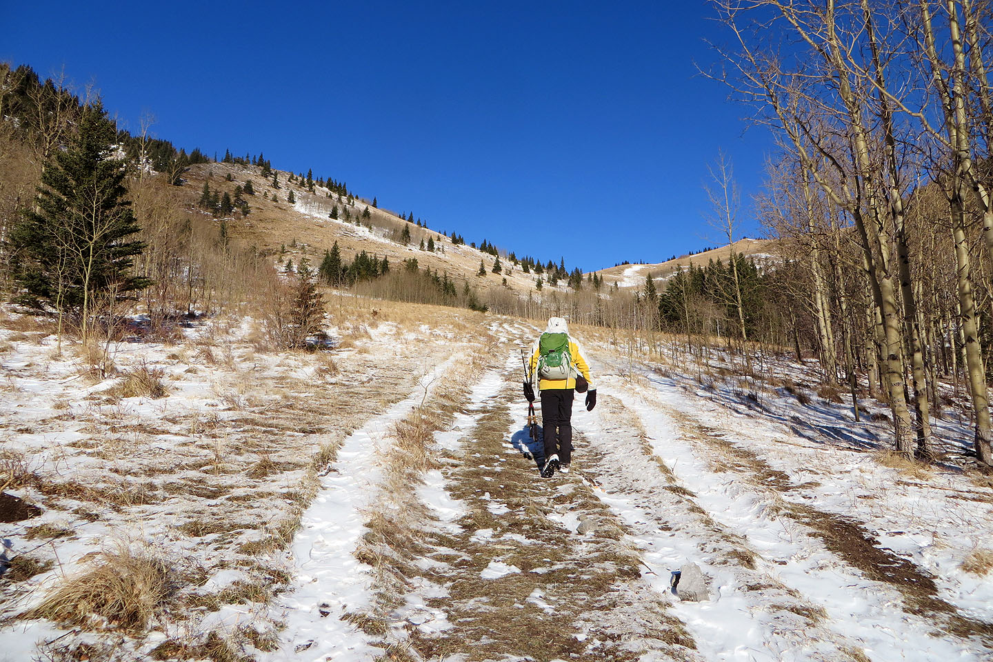
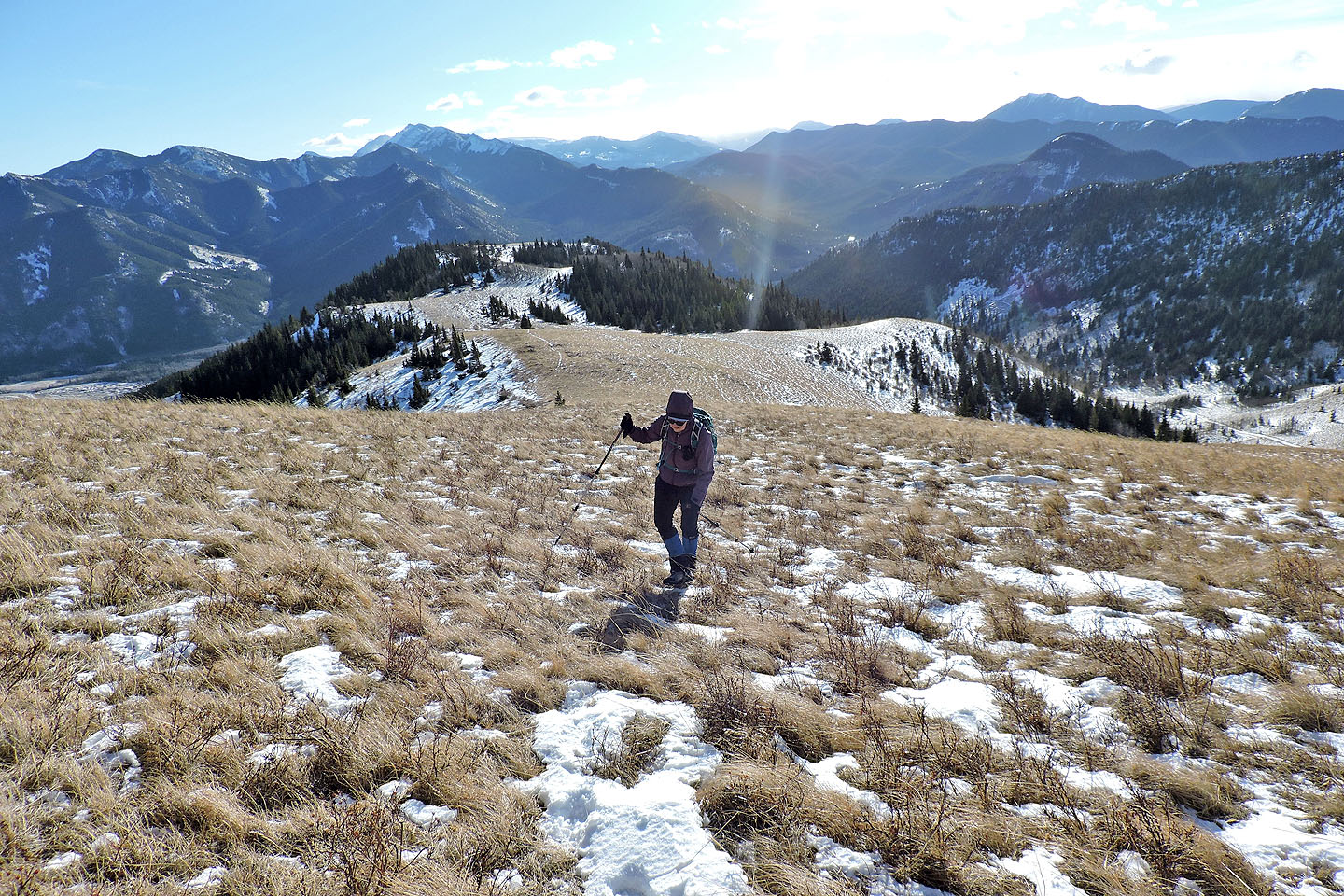
The trailhead for Boundary Pine lies 6 km east of Highwood Junction. We parked on the roadside and hiked Pack Trail Coulee to Grass Pass. The broad trail passes through trees before reaching meadows below the pass. That's where the wind found us. The wind wasn't as bad as we feared. We still cursed it but were thrilled when wind gusts whipped snow high in the air and swirled it around before carrying it away.
At the pass, we spotted the trail to the spur and started along it. The spur – Fir Creek Point – is hundreds of metres long, and somewhere on it was one tree we wanted to see. We hadn't planned this trip and didn’t have a waypoint, but we knew Boundary Pine was somewhere on the spur and had seen pictures of it; we just had to find it among hundreds of other pine trees.
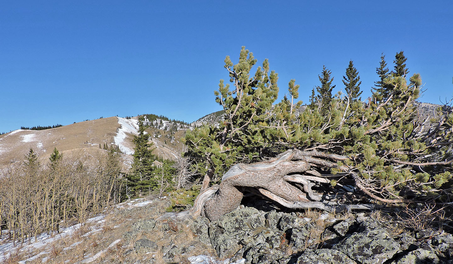
To make a long story short, we followed the trail to where it ended on a grassy knob, searching all the while before backtracking along the spur and finding the famous tree (719870). It sits on a rise on the edge of a copse against trees taller and straighter. There was no mistaking Boundary Pine, although it's missing much foliage compared to the photo in Kananaskis Country Trail Guide.
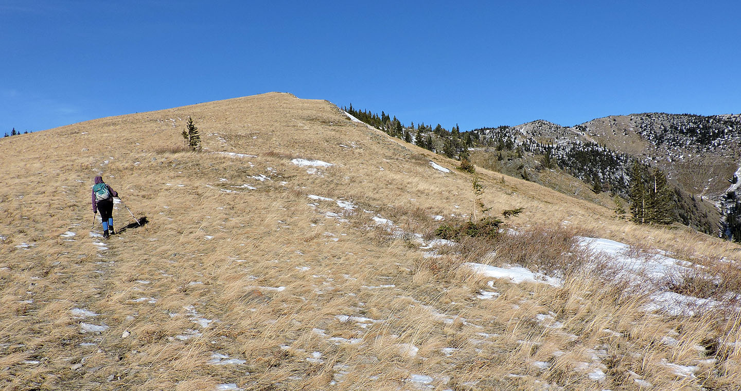
Delighted to satisfy one goal, we set out for another. We felt we could tolerate the wind long enough to climb the high point 90 m above the spur. We hiked up a grassy slope and soon reached it. From the summit, one could continue east along the ridge to climb Bull Creek Hills, but we were ready to seek relief from the wind. We followed the ridge trail down to the pass and the trail back down Pack Trail Coulee. As a backup, Boundary Pine was worthwhile, but it’s no substitute for a peak!
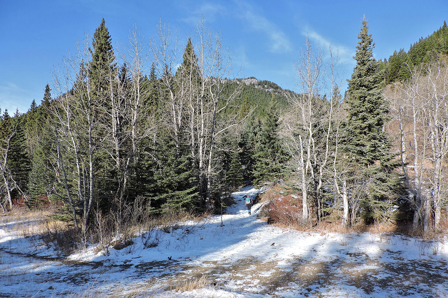
Starting up the trail from the highway
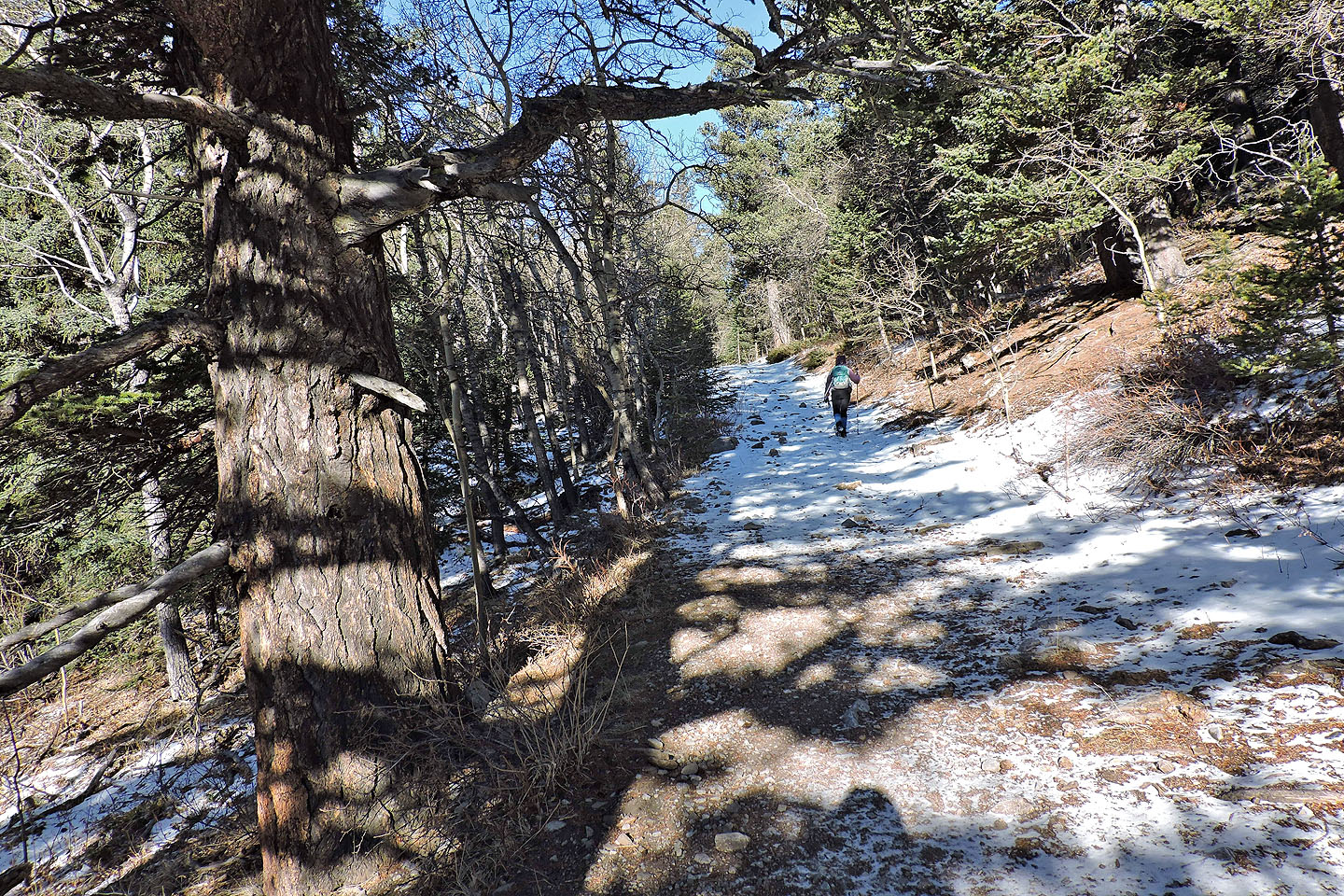
The broad trail is easy to follow
The trees began to thin
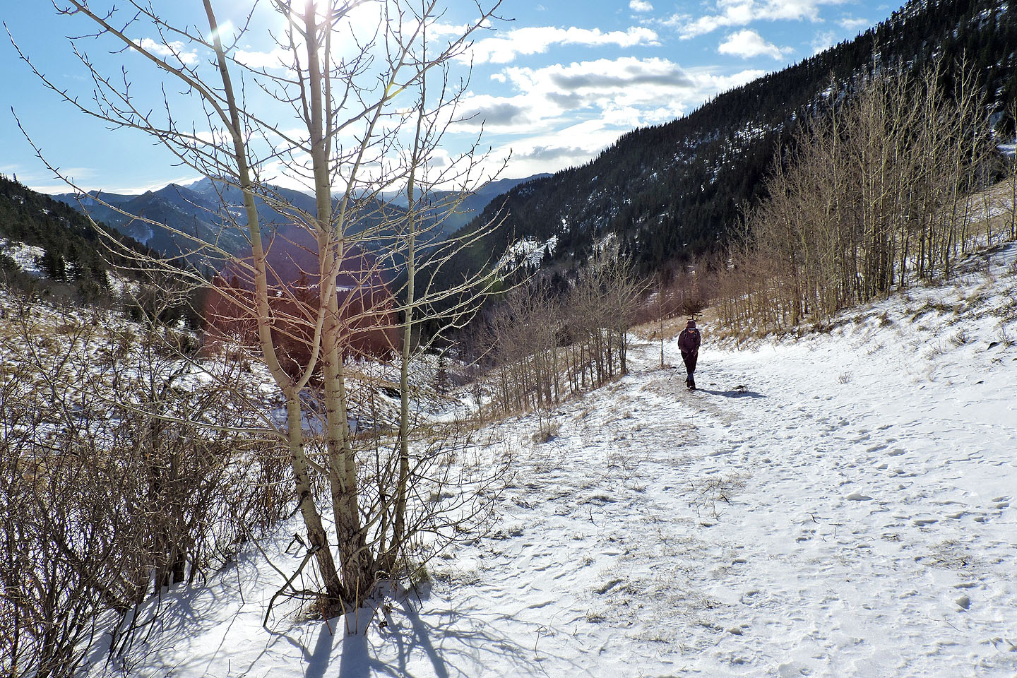
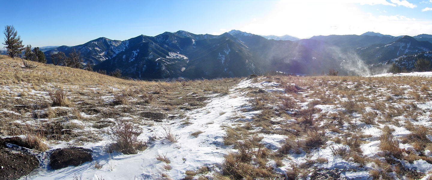
The pass is not yet in sight
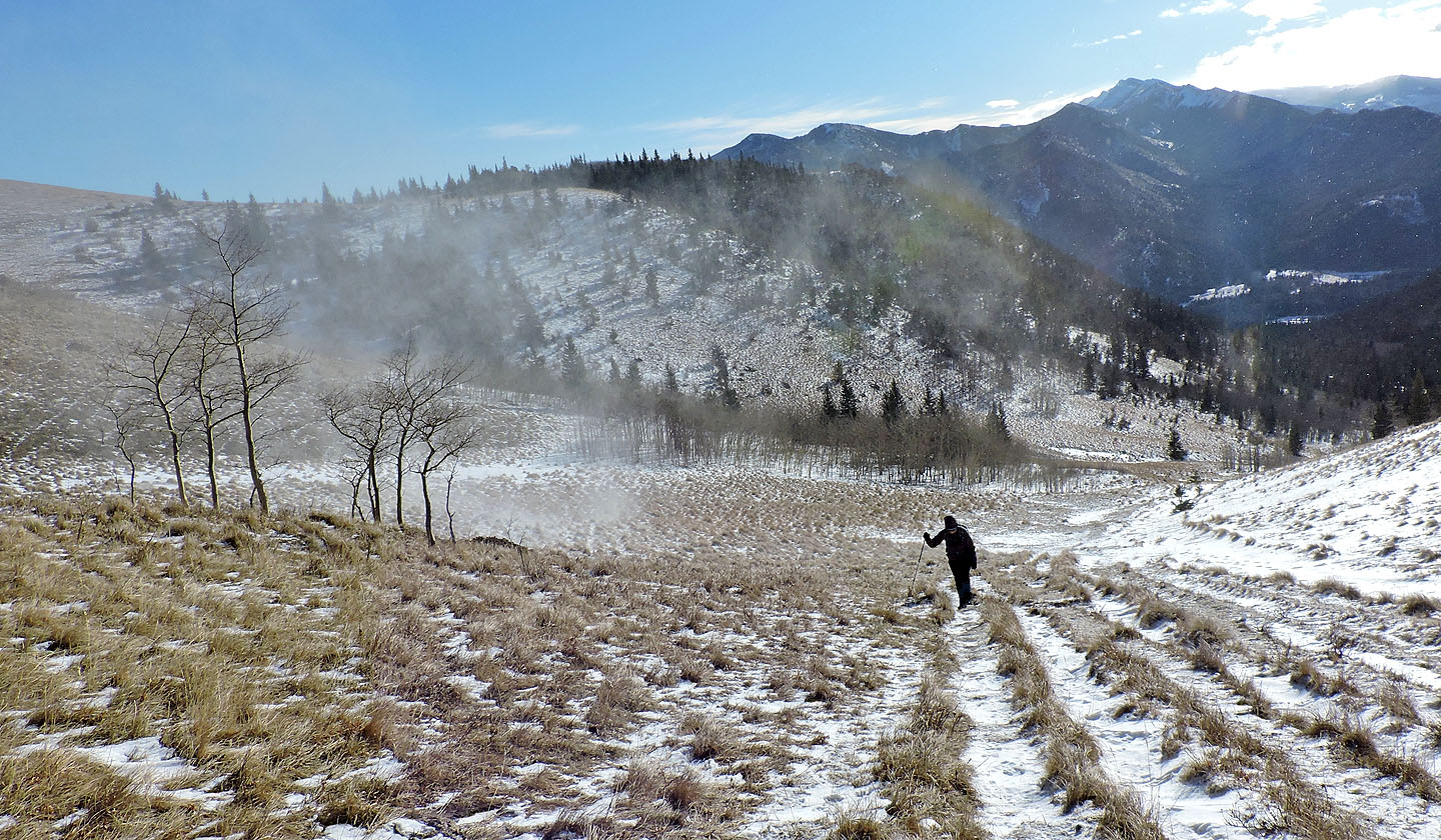
Strong gusts picked up snow as we approached the pass
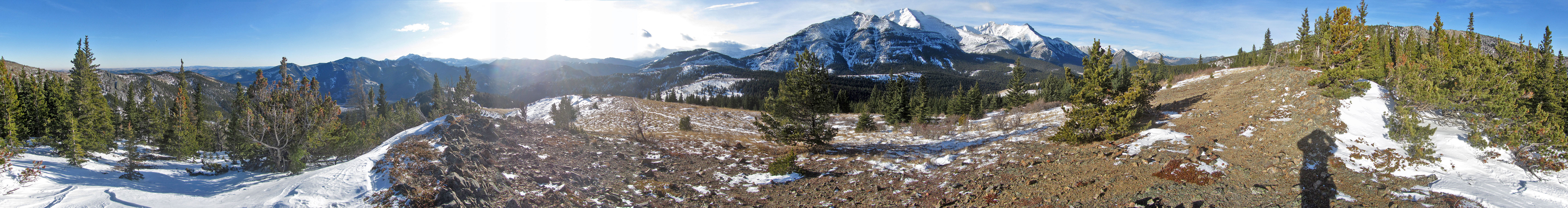
Grass Pass
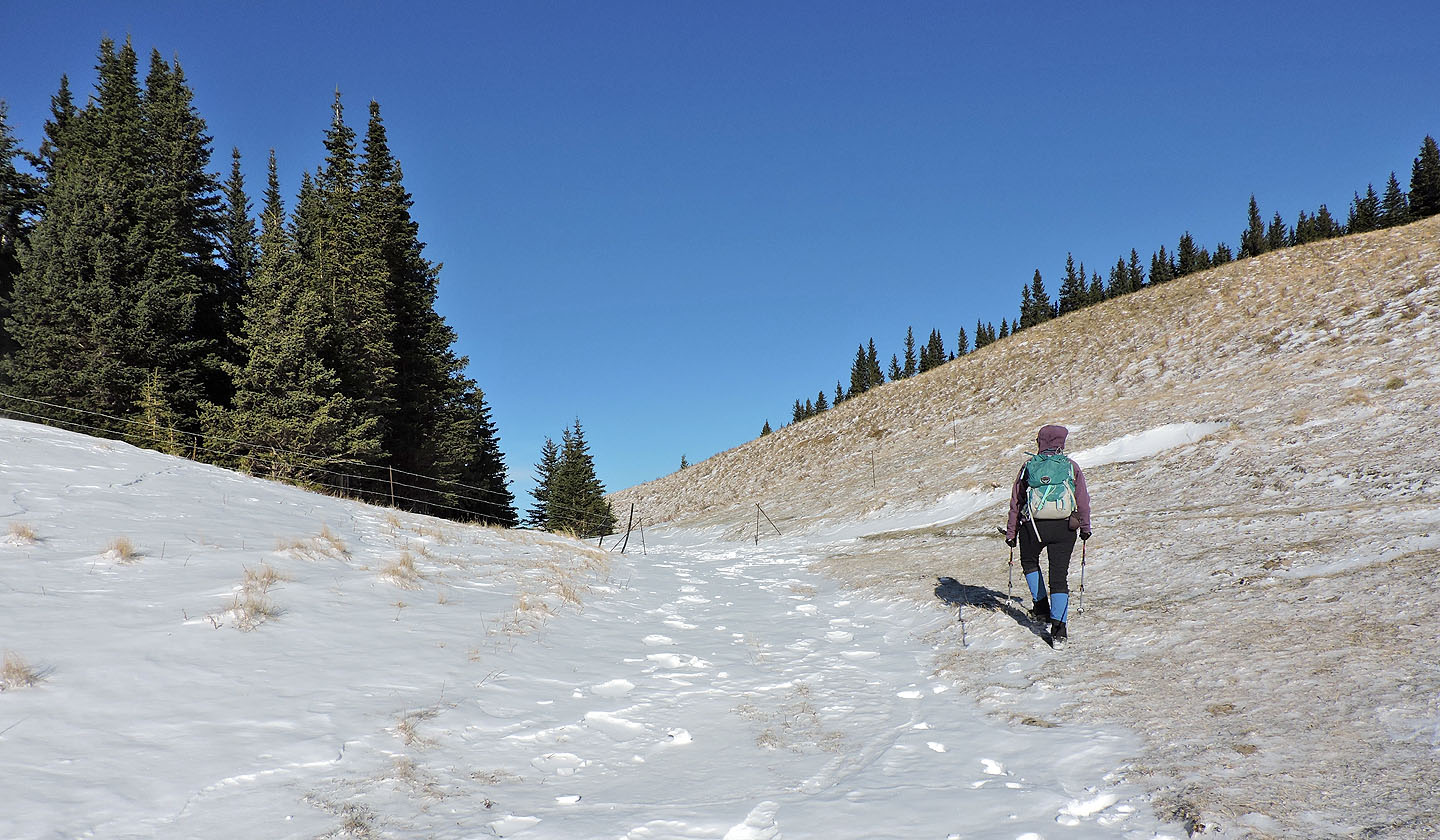
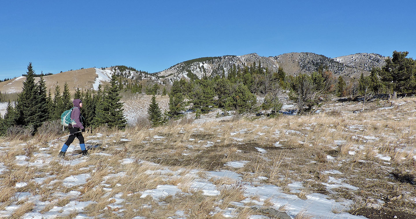
Starting up the cattle trail to Boundary Pine
Boundary Pine sits on a rise
Looking back at the pass
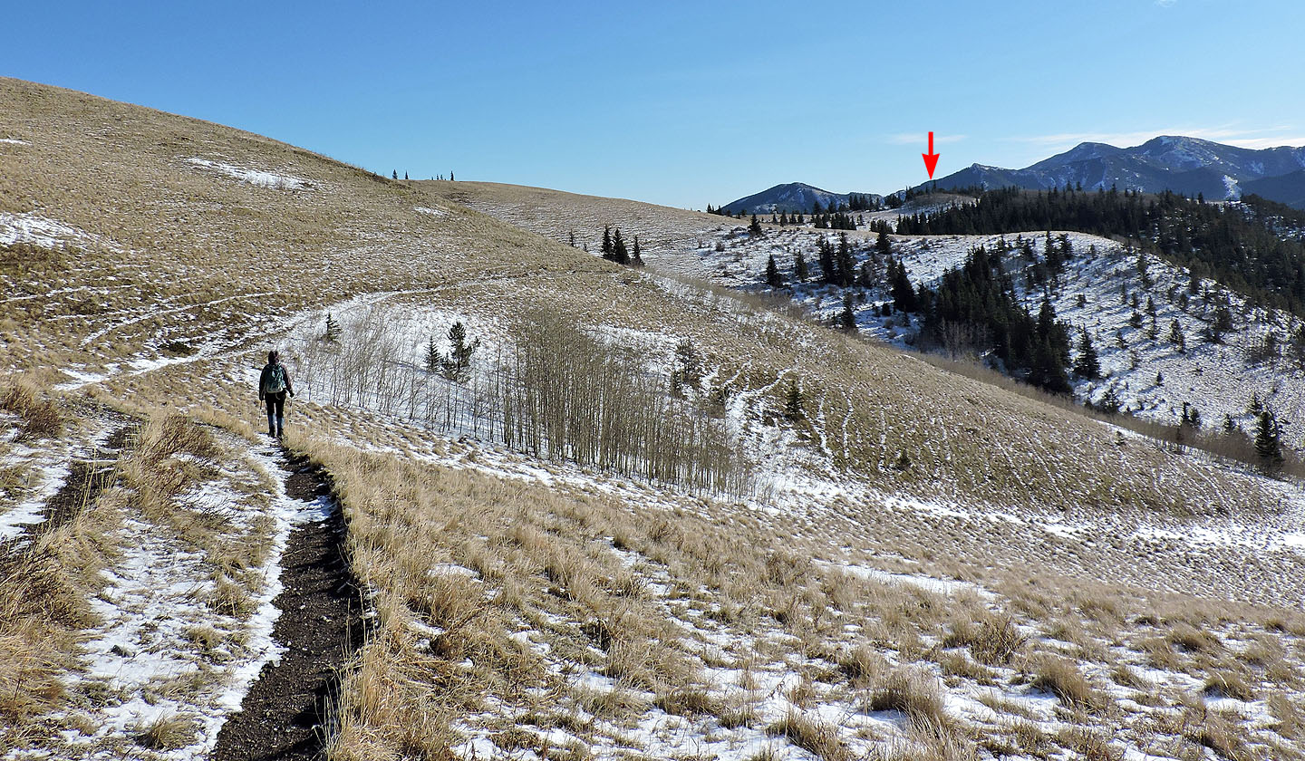
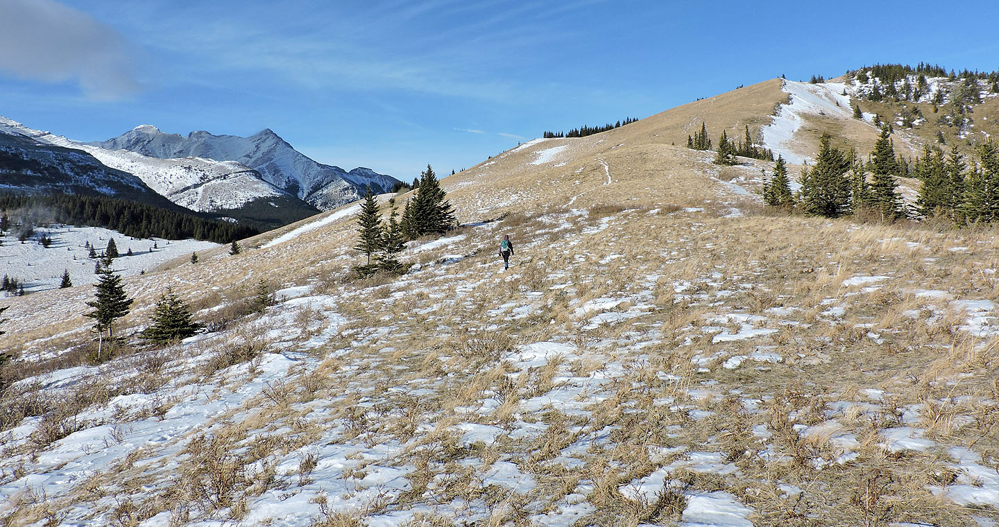
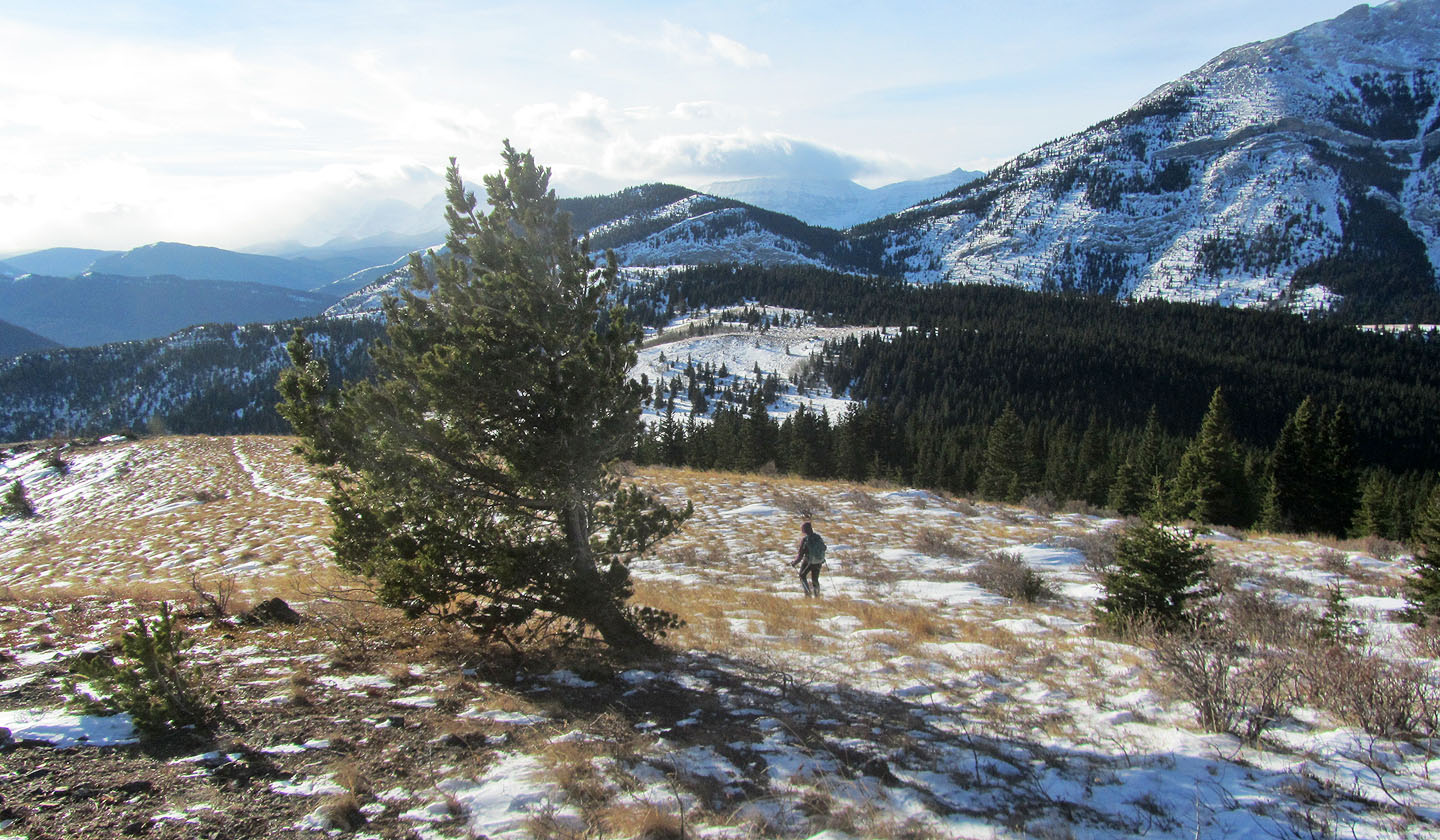
Behind us is the high point we'll ascend later
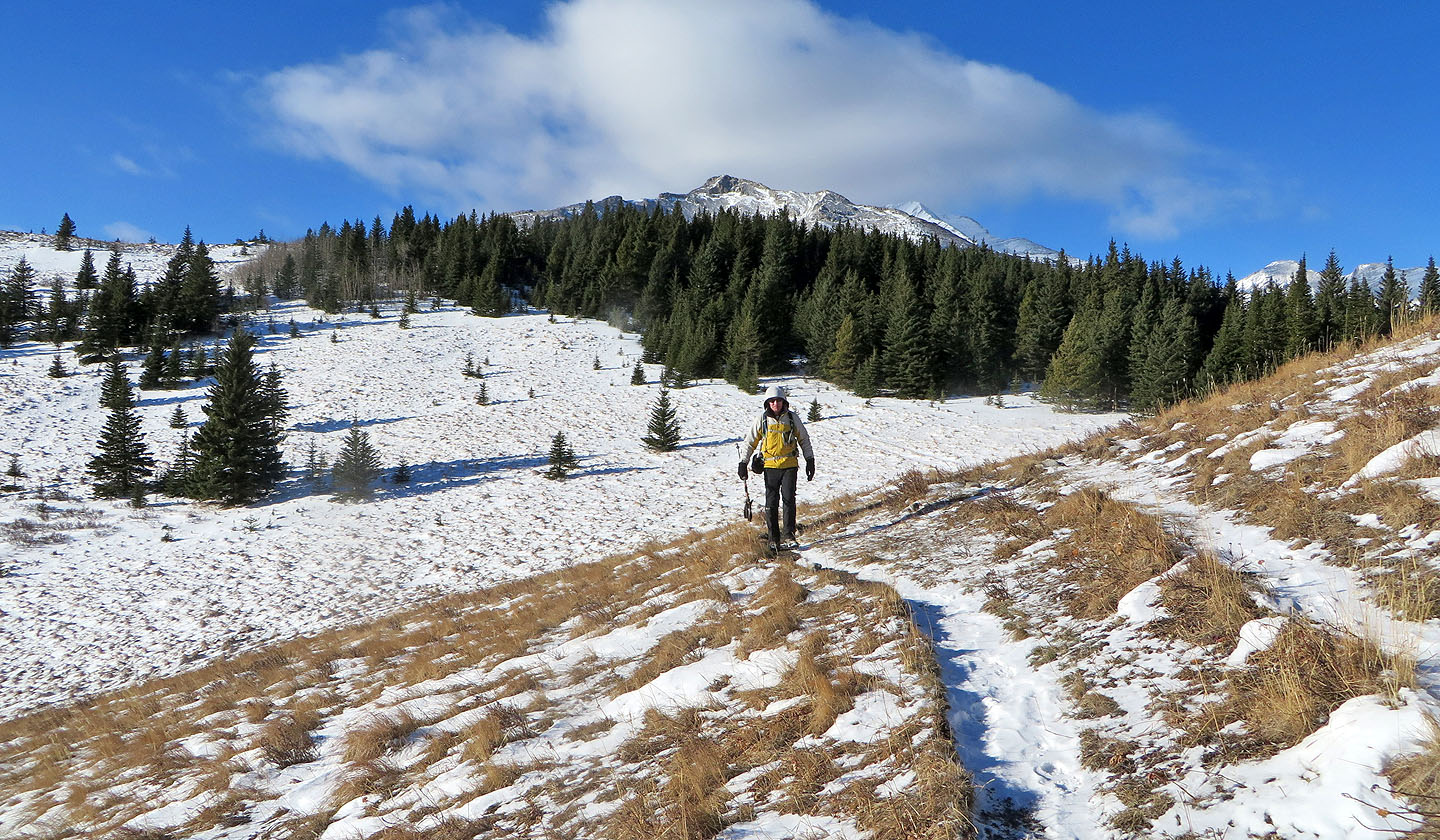
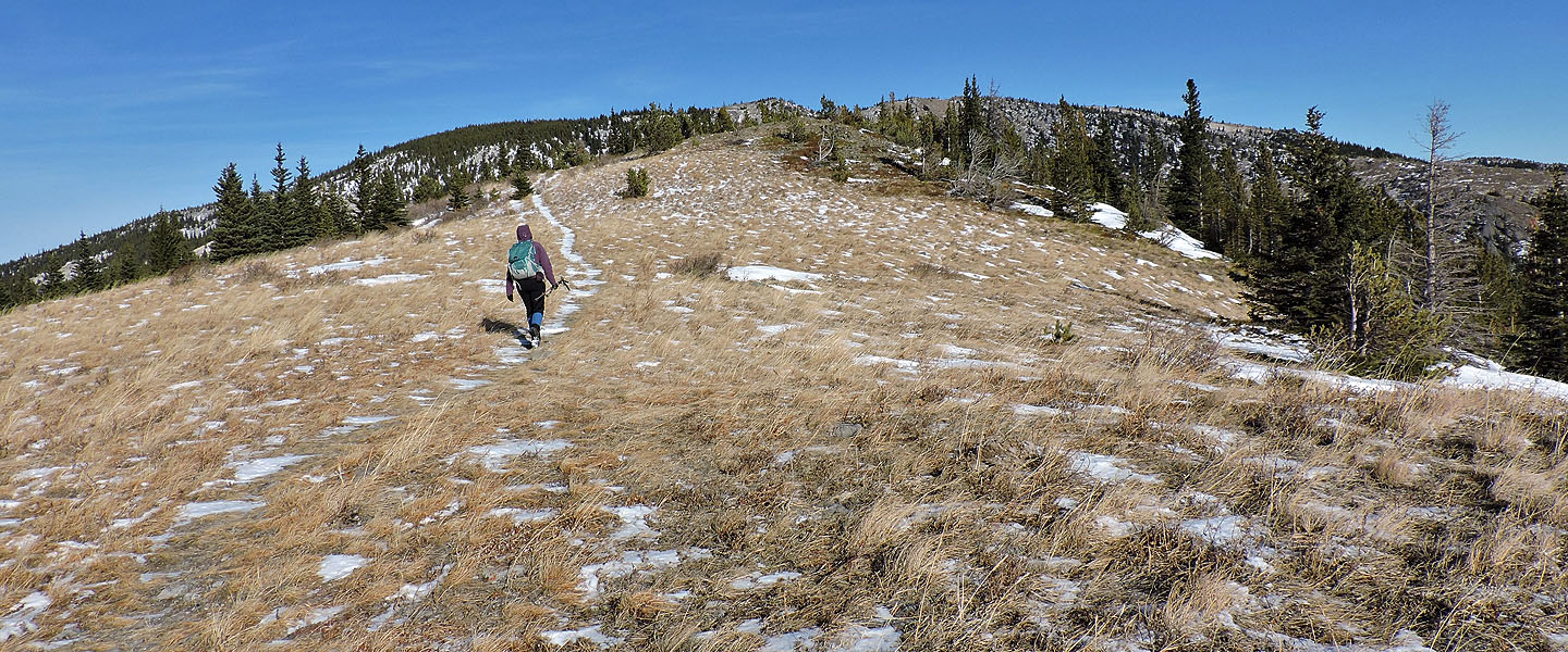
We followed the trail to an open hilltop ahead
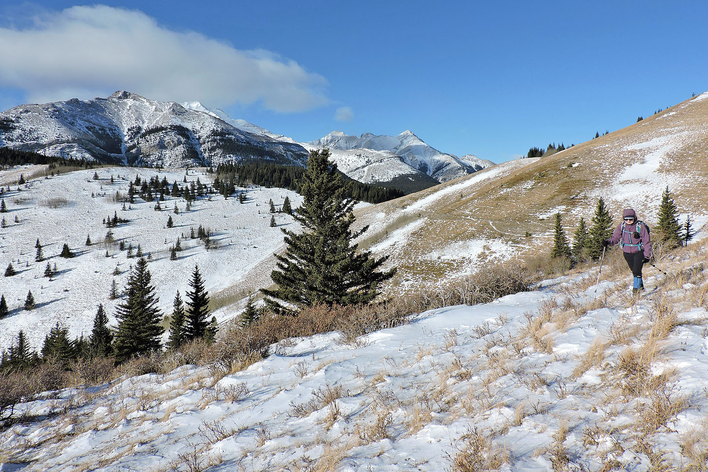
Looking south from the hilltop
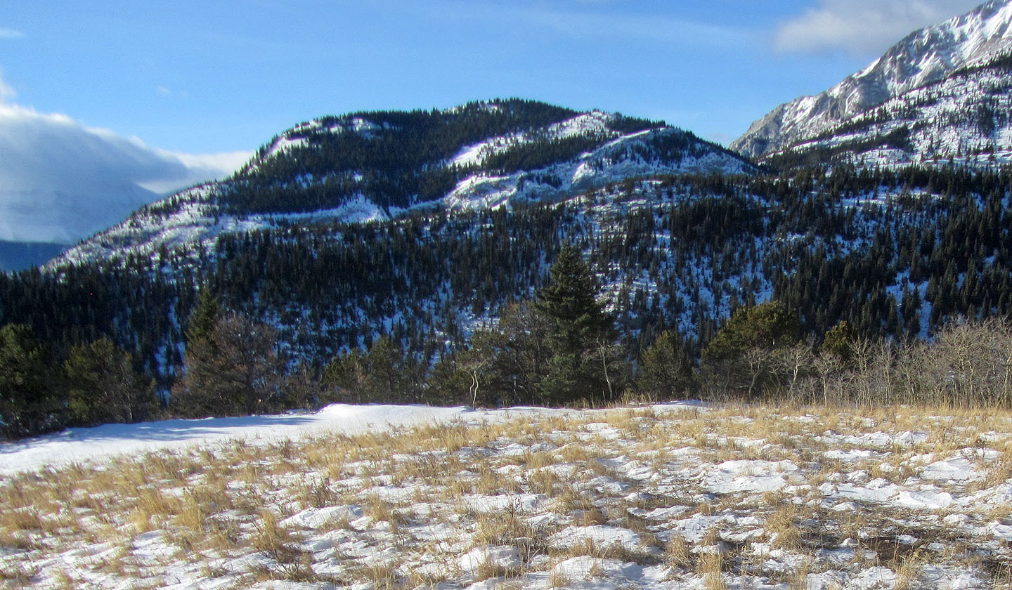
Gunnery Mountain is west
The high point we climbed is left. Bull Creek Hills summit is far right.
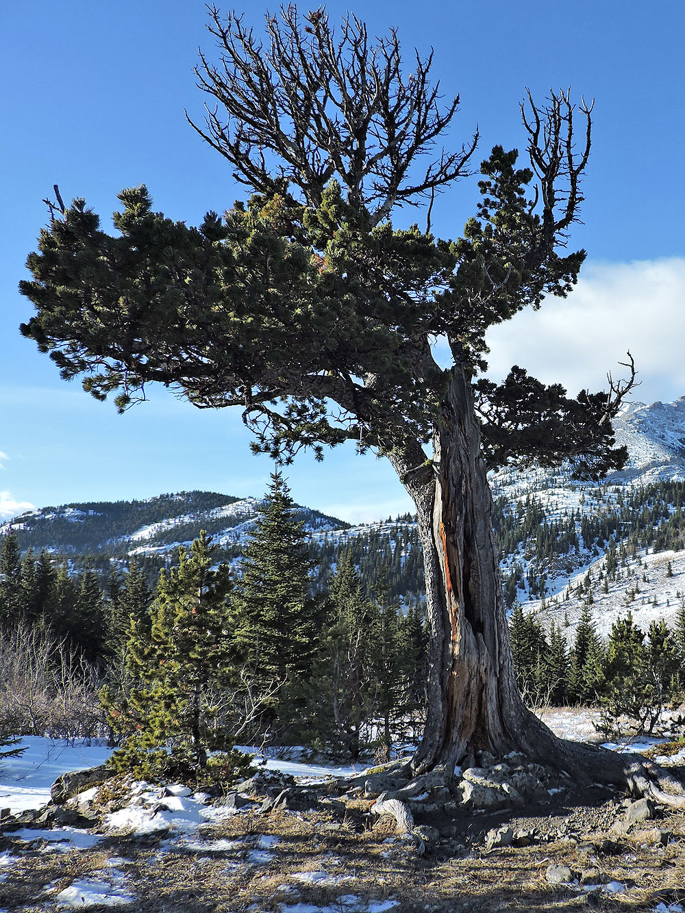
Boundary Pine
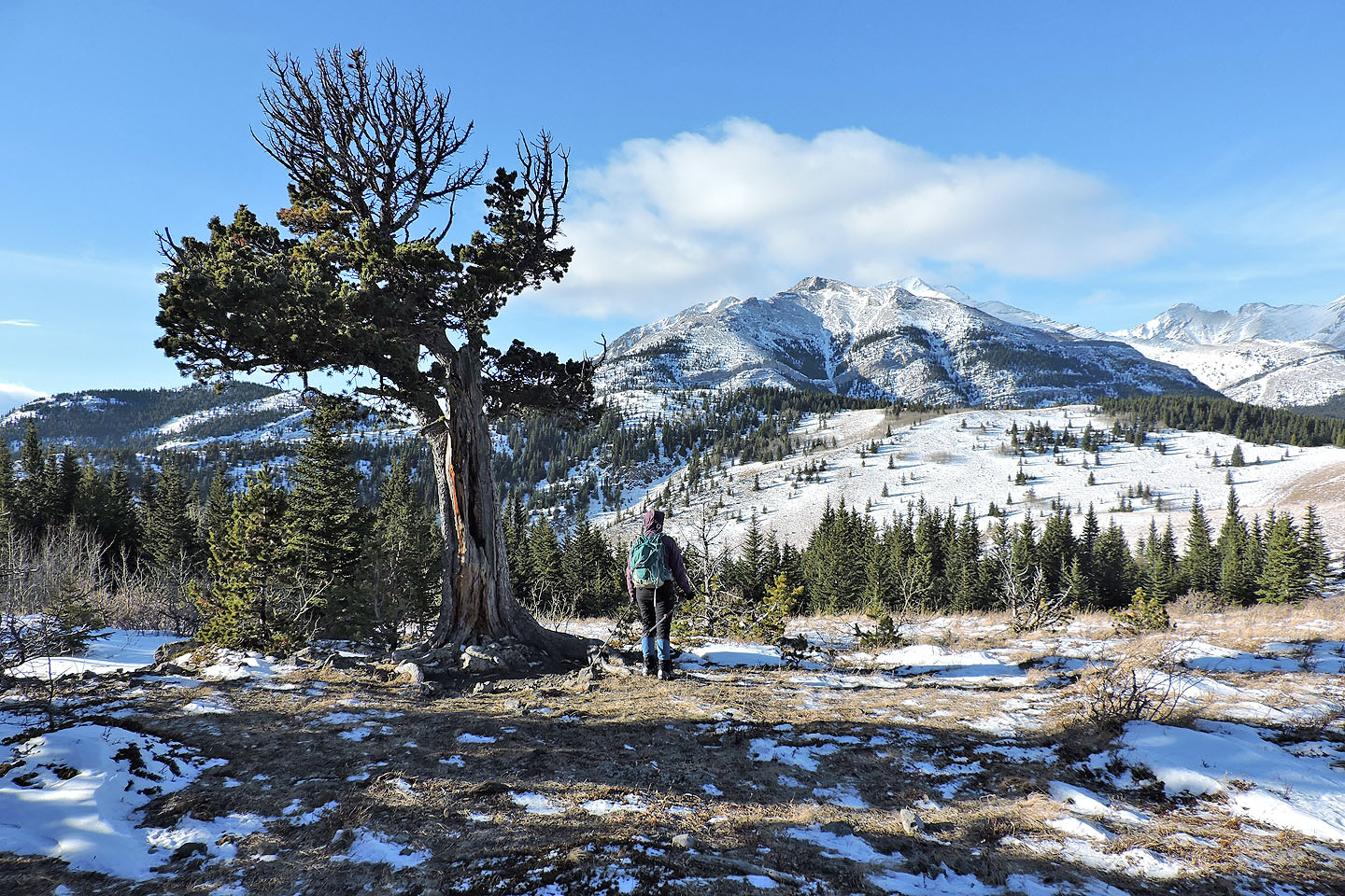
Holycross Mountain sits in the background
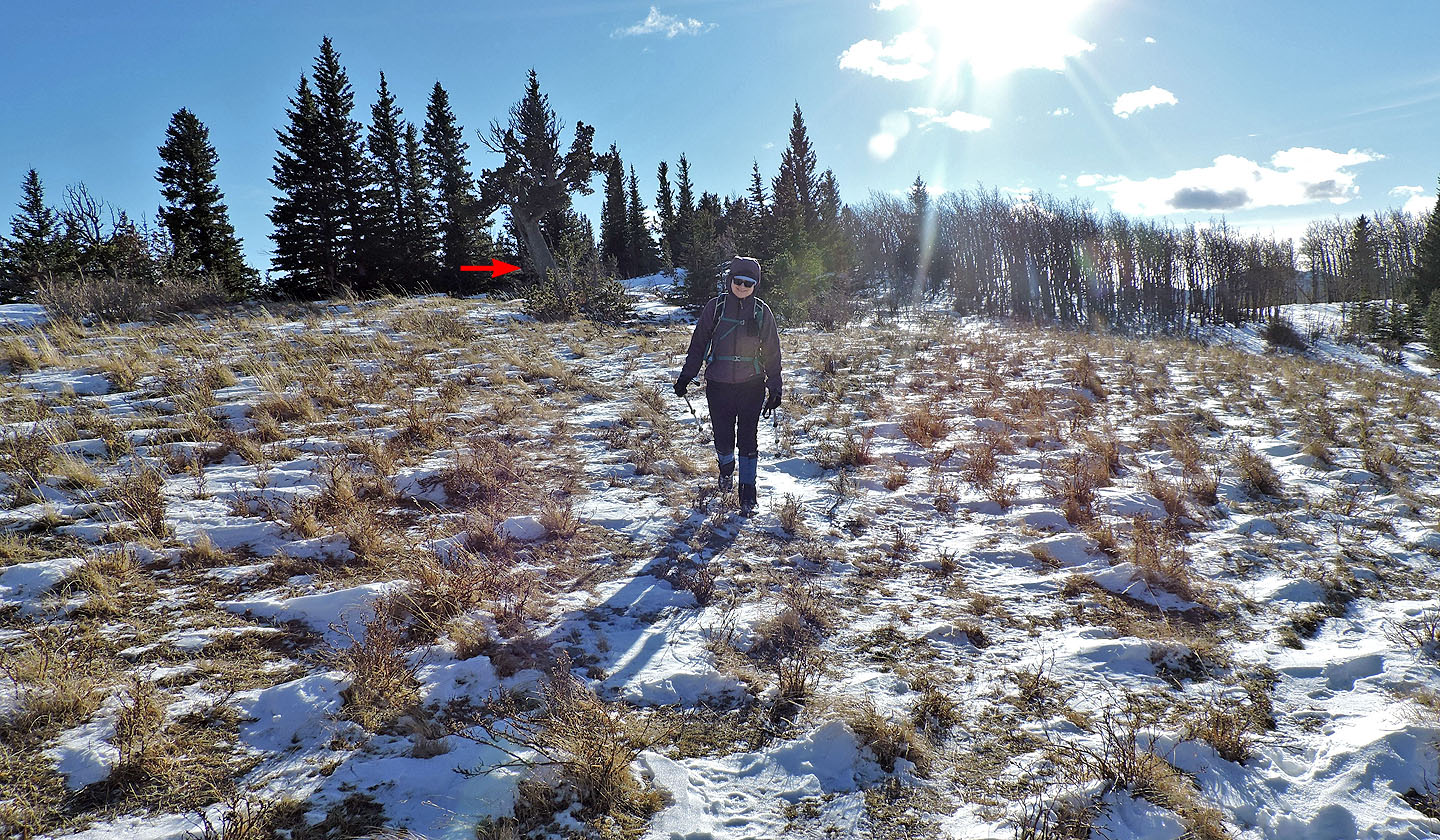
Boundary Pine seen from the trail
Boundary Pine trail goes left, but we followed a trail to the high point
The trail disappears in the grass before reaching the hilltop
Looking back at the spur
Almost at the hilltop
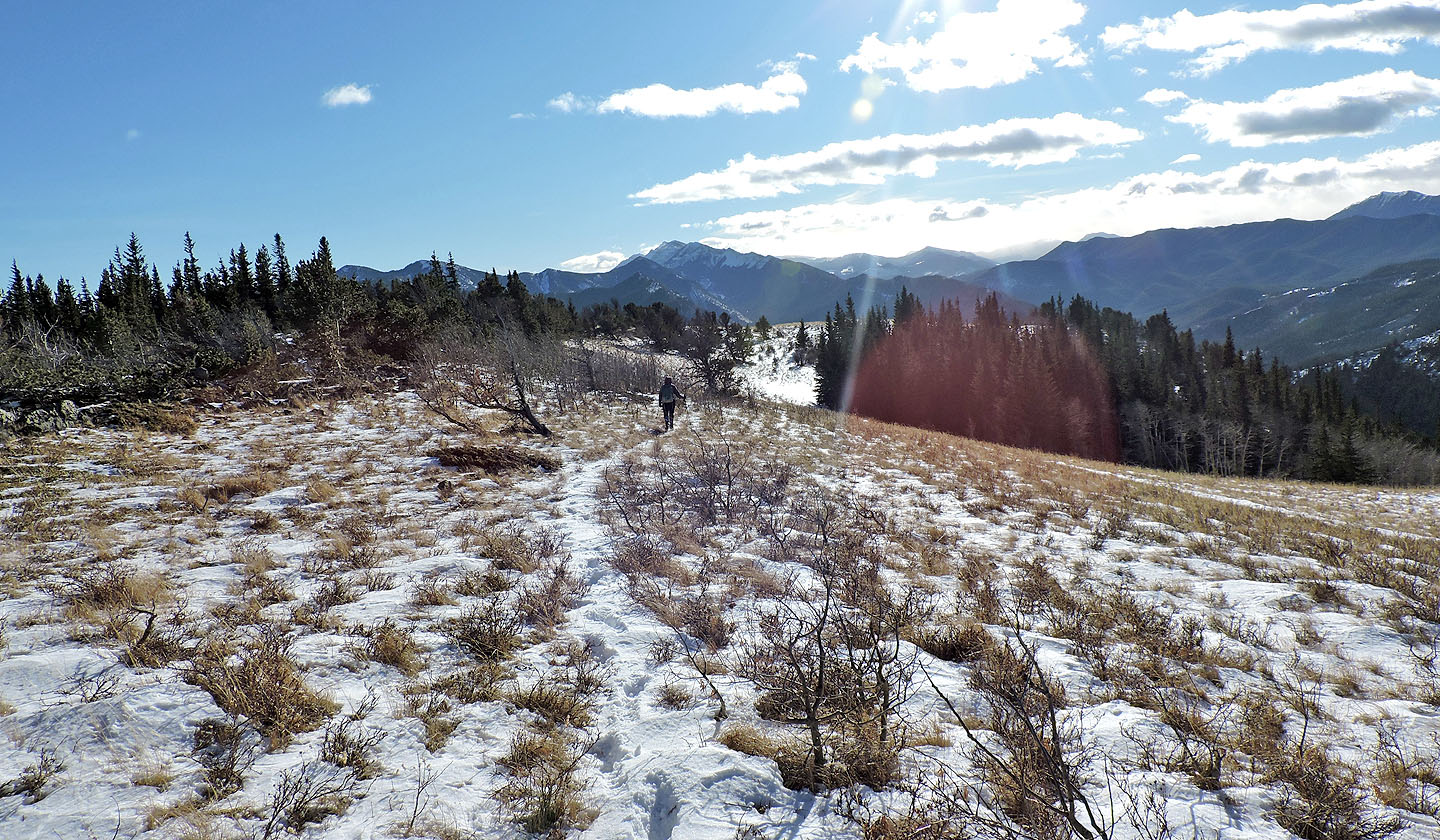
Dinah follows a trail that leads back to the pass
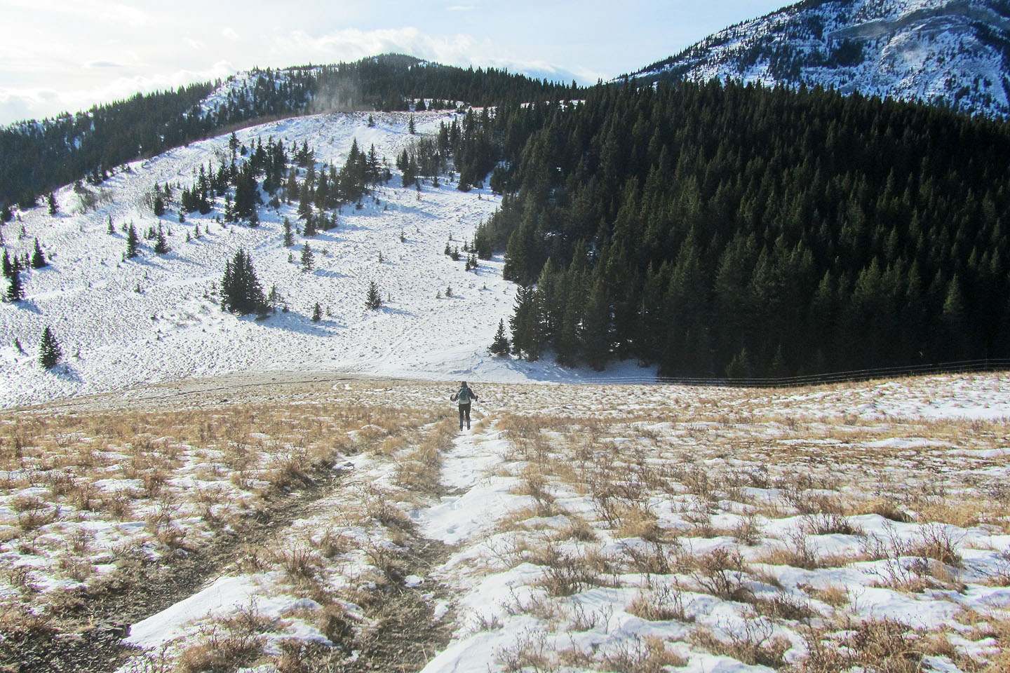
We dropped down to the pass
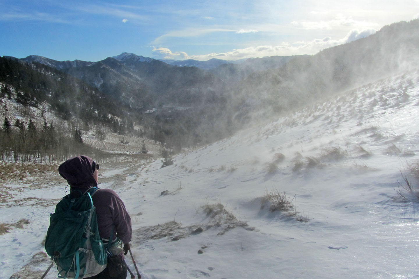
Below the pass, Dinah pauses to watch snow caught in a gust of wind
82 J/7 Mount Head