bobspirko.ca | Home | Canada Trips | US Trips | Hiking | Snowshoeing | MAP | About
Dry Island Buffalo Jump II
Alberta Provincial Park
May 28, 2017
Distance: 9.2 km (5.7 mi)
Cumulative Elevation Gain: 241 m (791 ft)
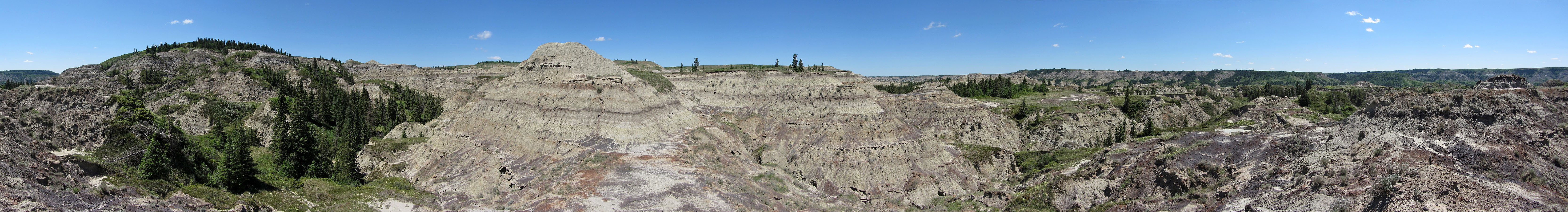
Trip Advisor calls Dry Island Buffalo Jump “Alberta’s small version of the Mojave Desert.” While that may be a stretch (I've done several hikes in the Mojave, and there's no comparison), it does reflect the sharp contrast to other hiking areas around: these badlands are a curious and captivating change from the Rocky Mountains. Less than two hours from Calgary, the park is a good diversion when the mountains are hit with rain or snow.
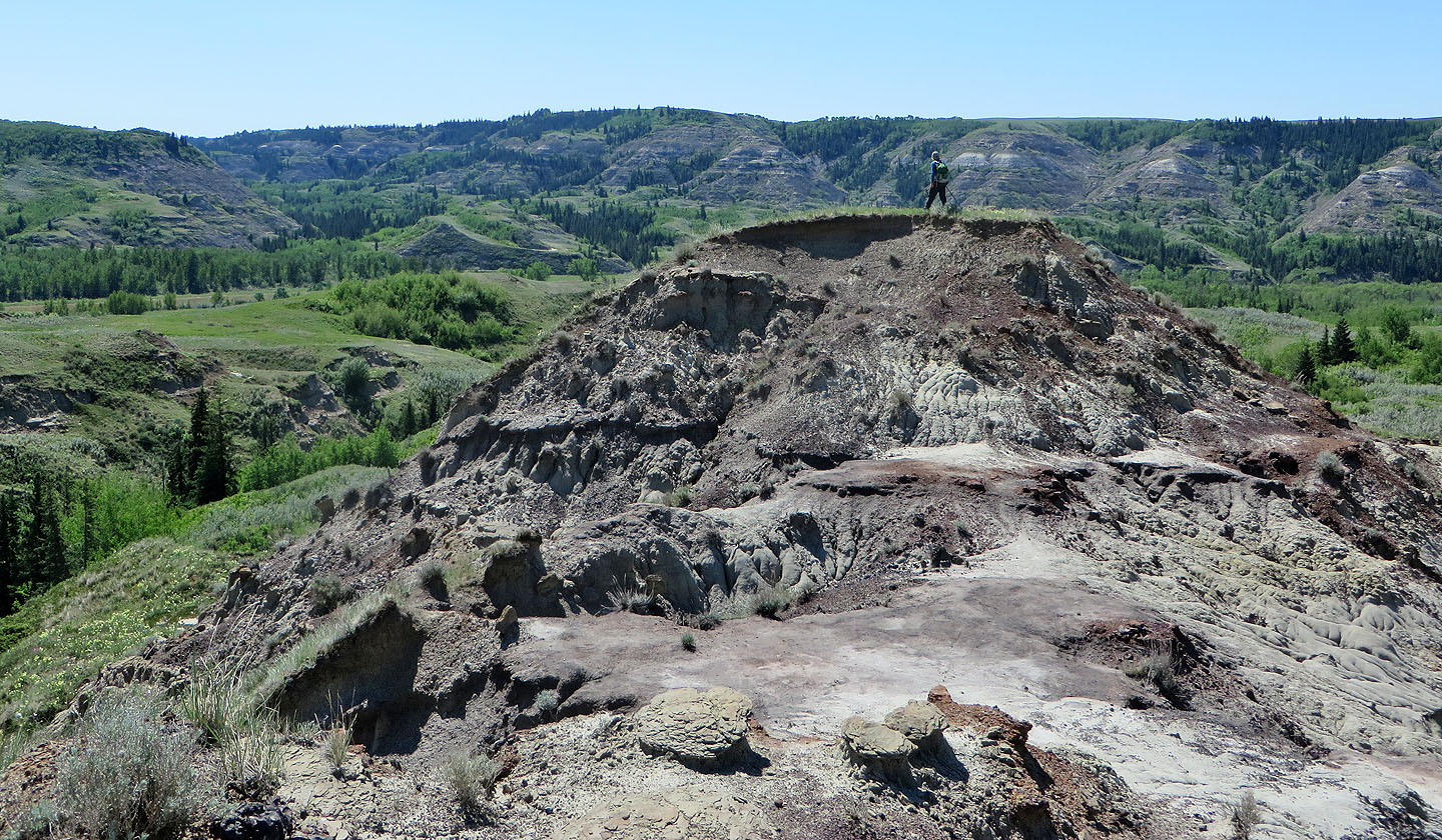
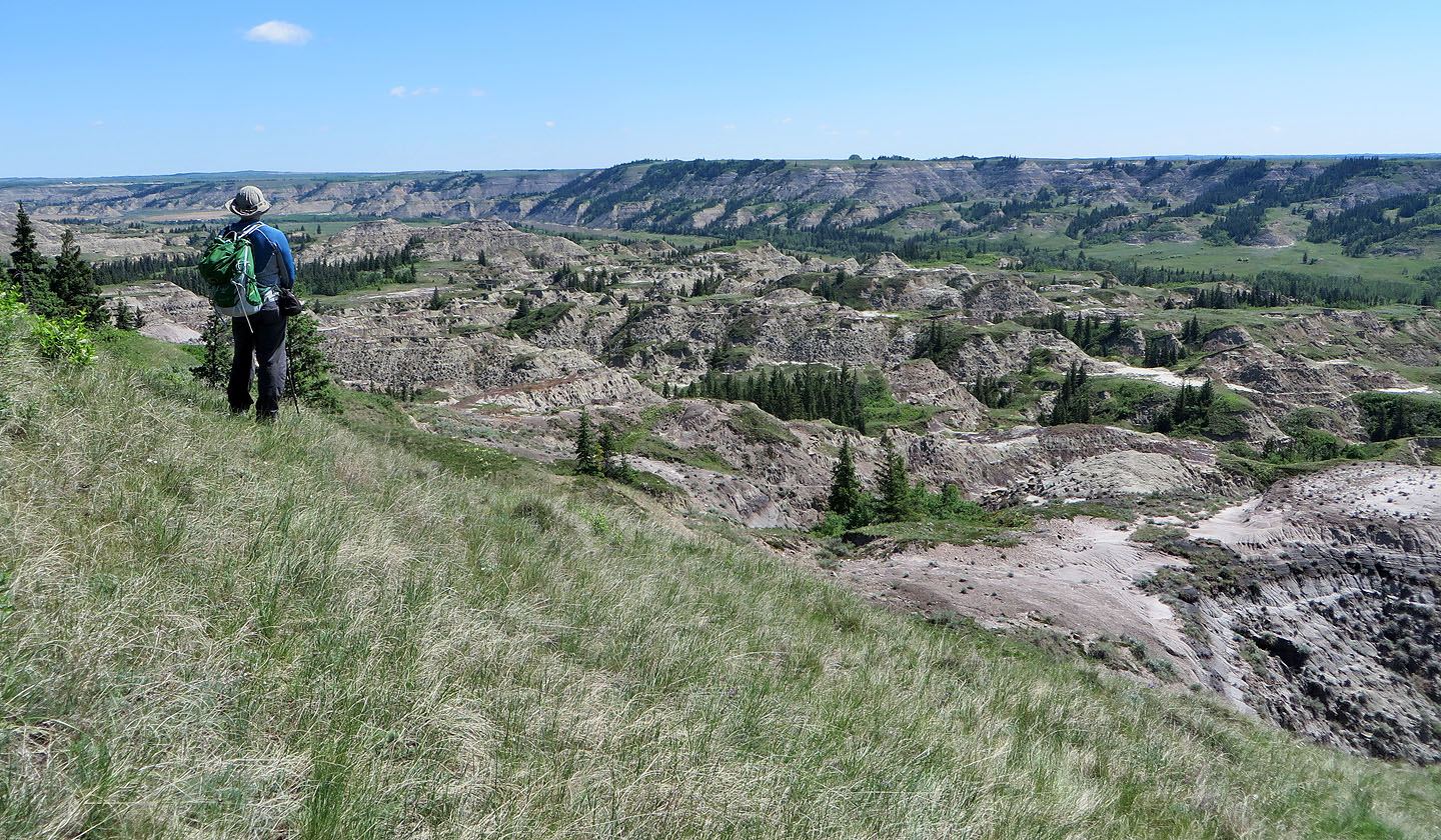
When Dinah and I first visited the park in 2002, we headed directly to the badlands and explored the west end of the park. This time we surveyed the east end. We followed the main trail on the lower grassy slopes for about a kilometre before picking a side trail that led to the eroded hills. Our first objective was a grassy plateau, one of the highest points in the park. The park is named after this feature. But it turned out to be boring, just a huge stretch of grassland. So we traversed the plateau and picked another high point, a small but distinctive knoll.
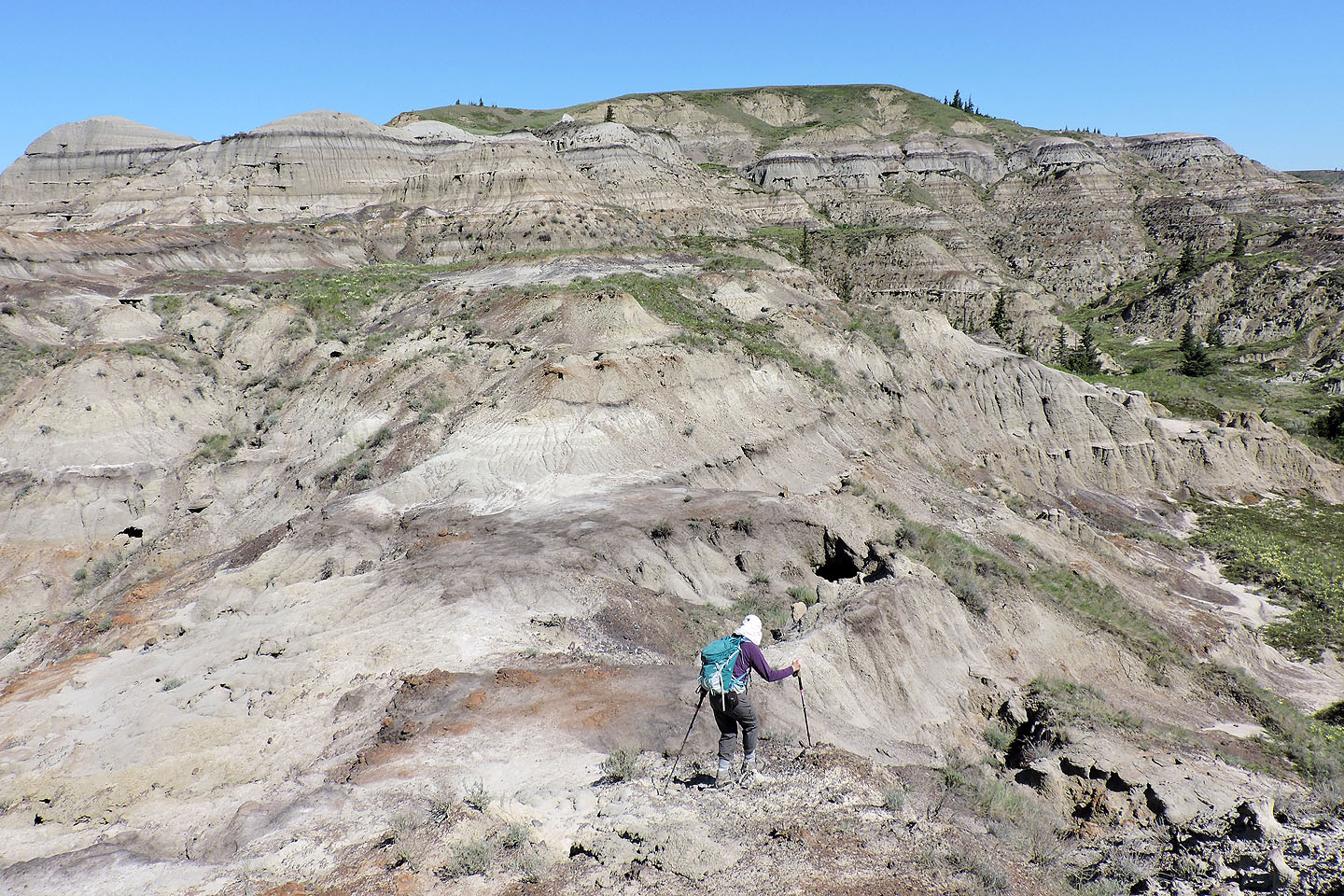
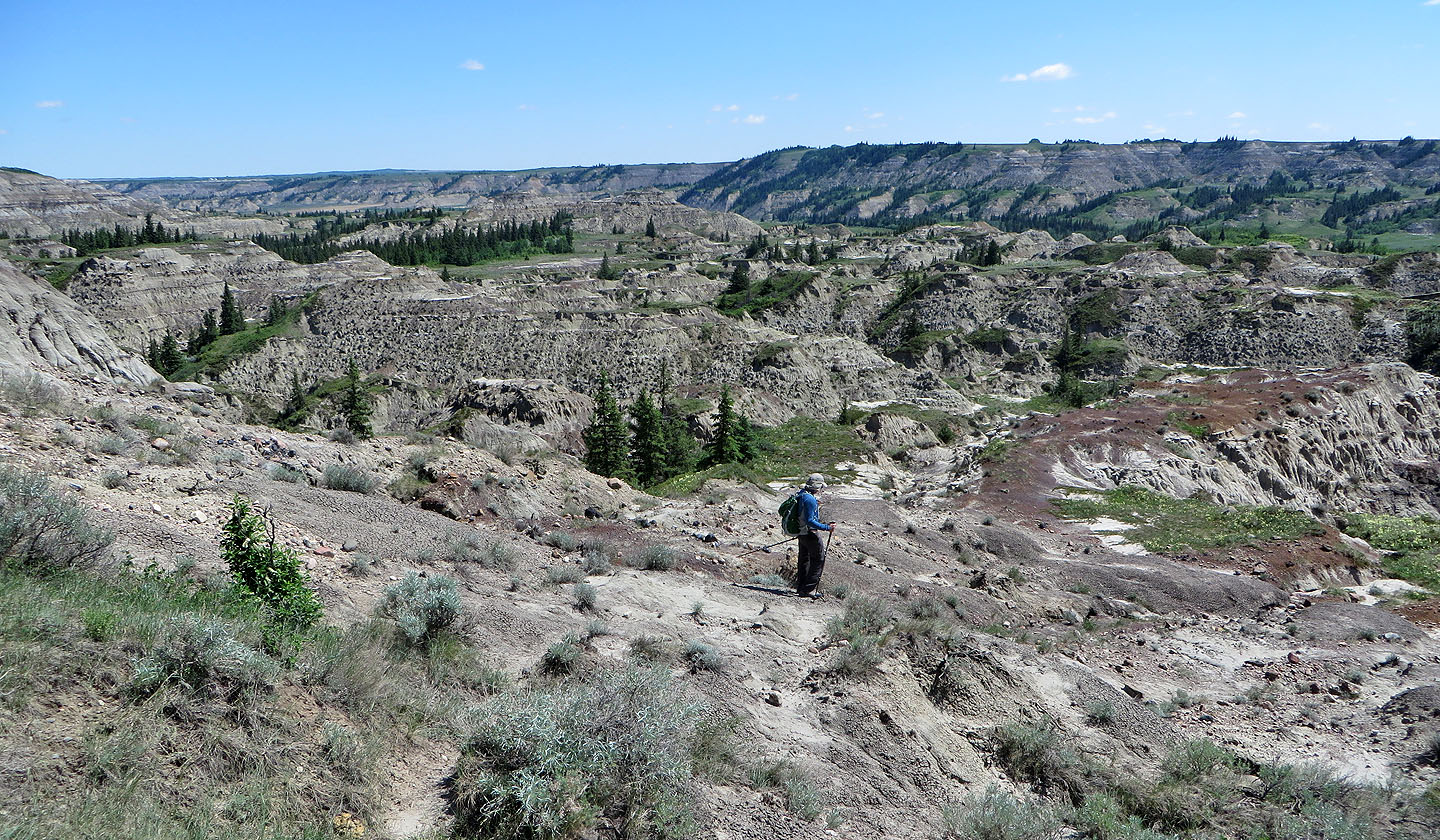
The real enjoyment in the badlands doesn’t come from reaching any particular objective, but rather from travelling and routefinding through fascinating and complex terrain to get there. After much meandering – circumventing obstacles, dropping down gullies, and climbing over ridges – we reached the knoll.
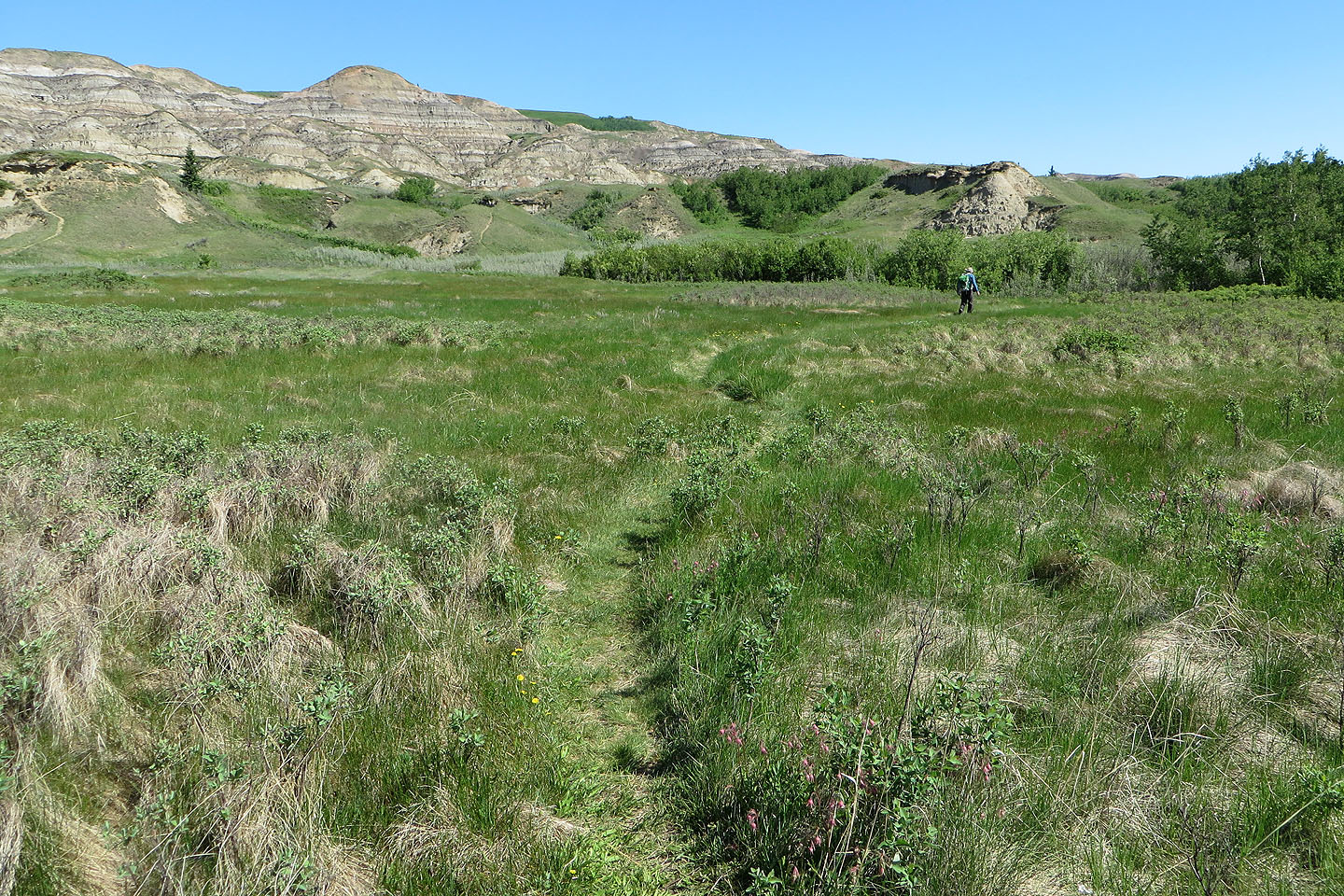
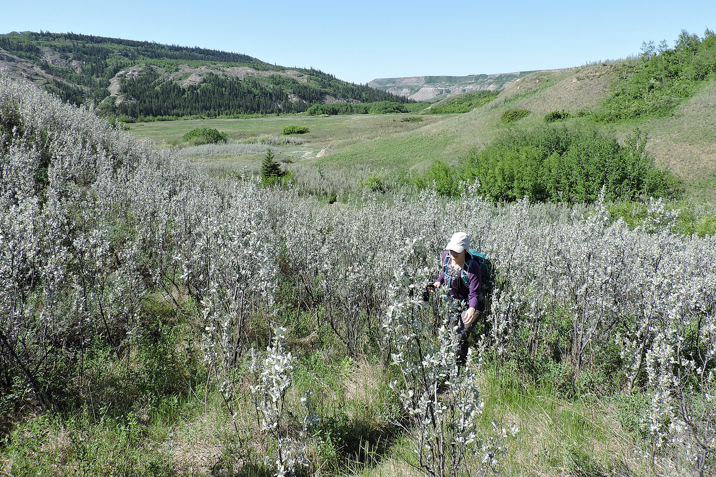
To complete a loop we headed away from the badlands towards the Red Deer River. Here we found large meadows but were confronted by deep gullies that forced us to detour or lose elevation. Eventually, however, we hooked onto a good trail that led back to the main trail and back to our car.
Just about any route you choose in Dry Island Buffalo Jump will reward you with unusual and marvellous scenery. But after visiting the east and west ends, I think the west end is more interesting.
View from the trailhead
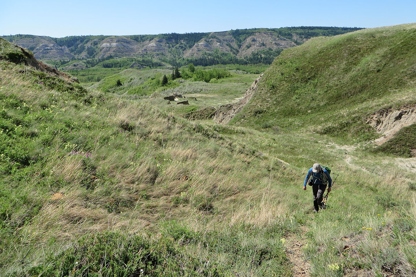
We followed the main trail for a kilometre
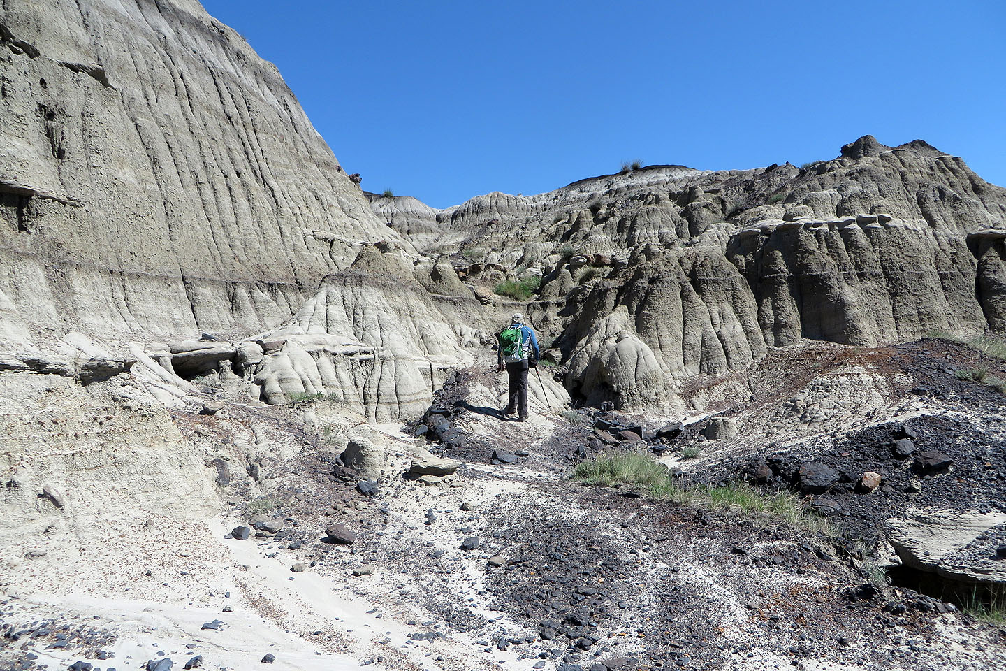
Then we took a side trail that leads into the badlands
We had to climb a bit to get to them
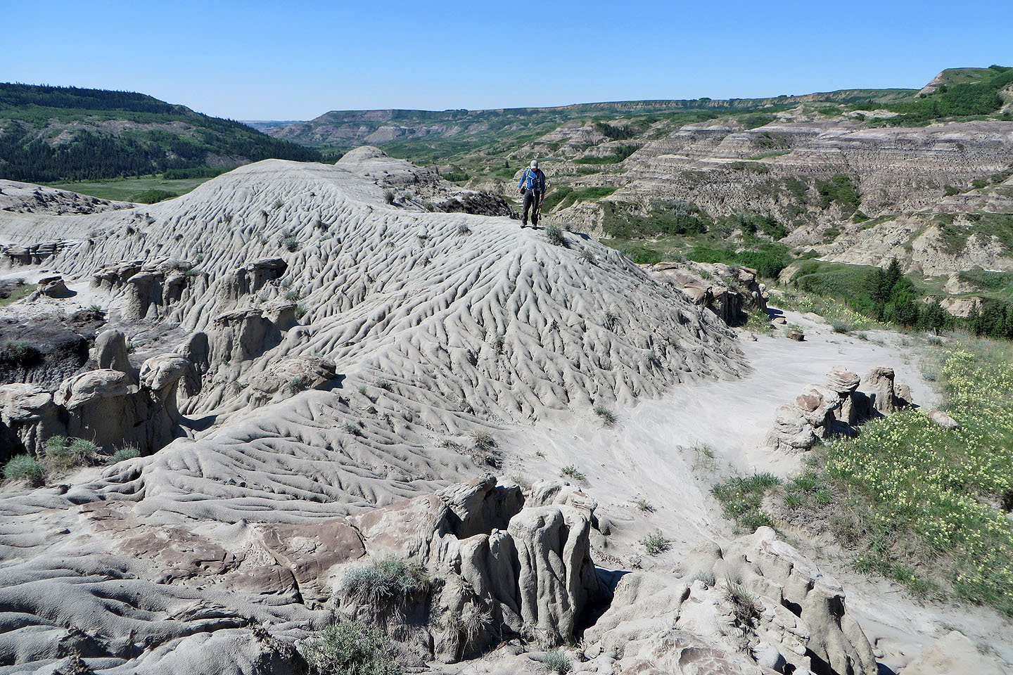
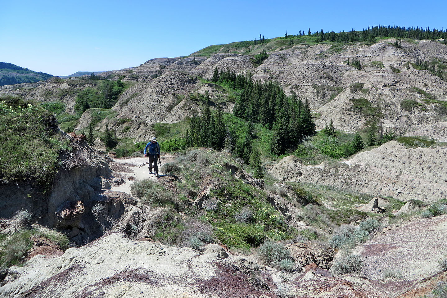
We often found trails to take us wherever we wanted to go
On top of our first hill
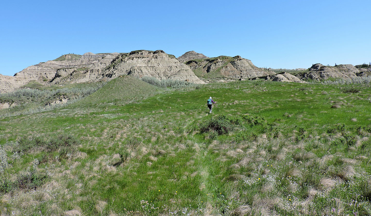
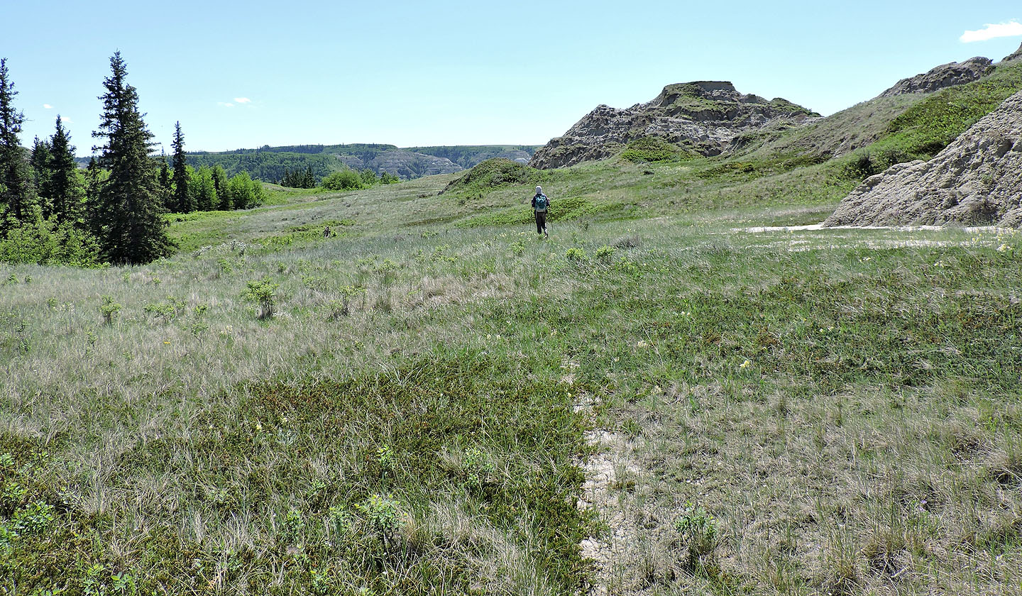
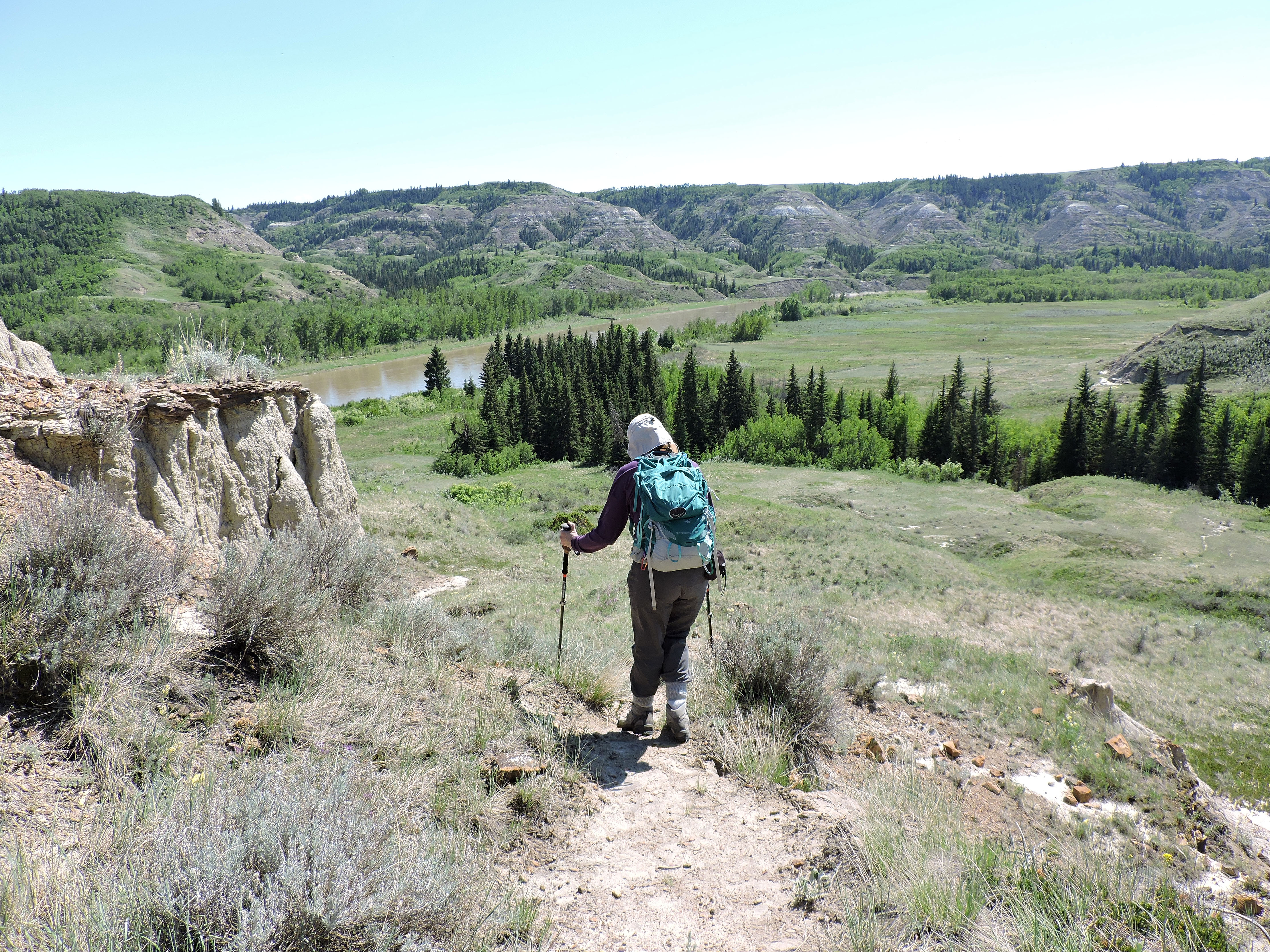
We made our way to one of the highest points in the park, the grass-covered plateau ahead
Going up a gully
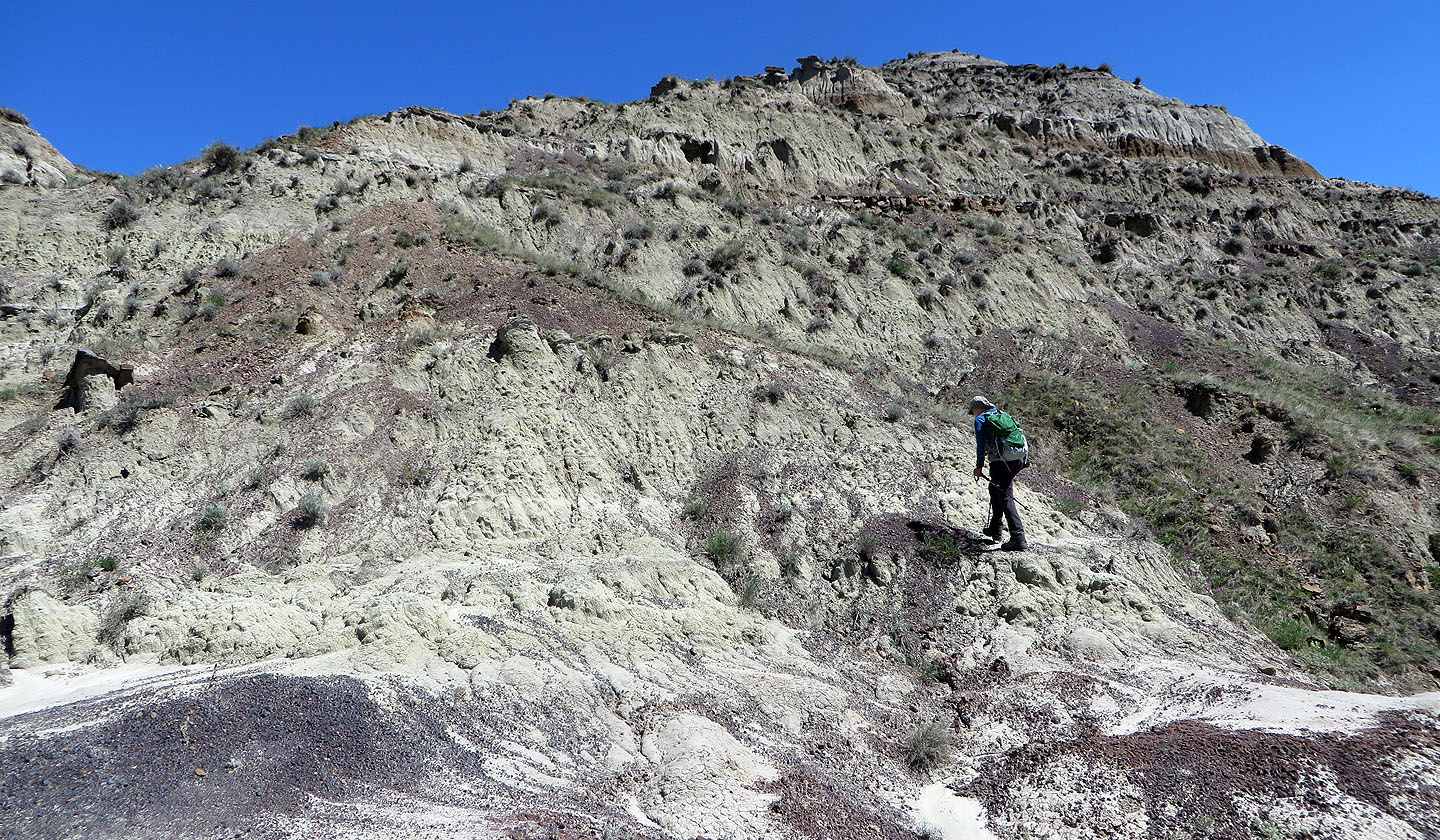
Traversing a mud hill
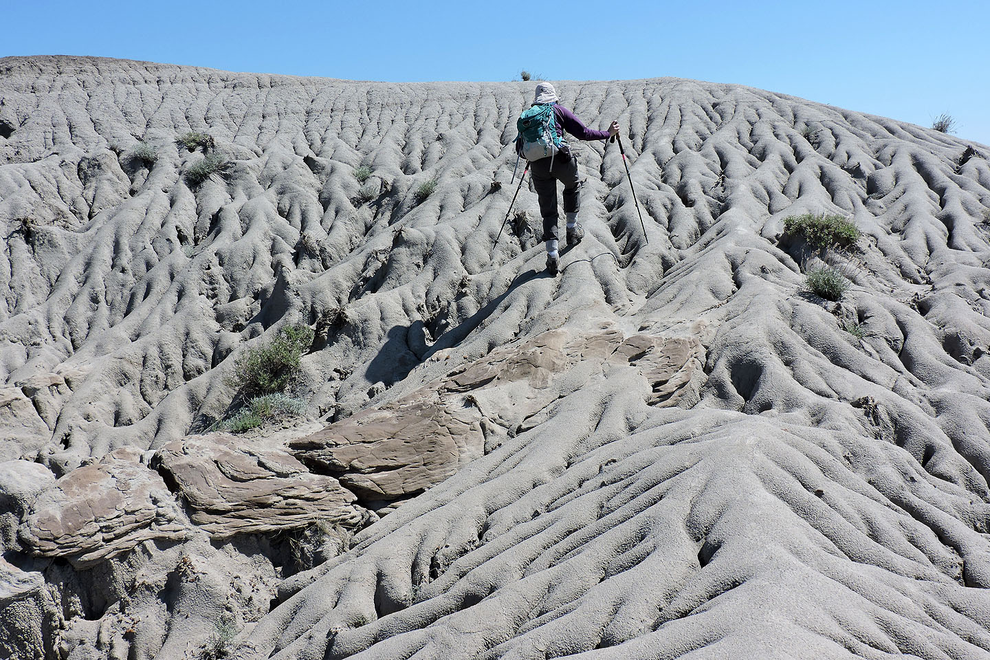
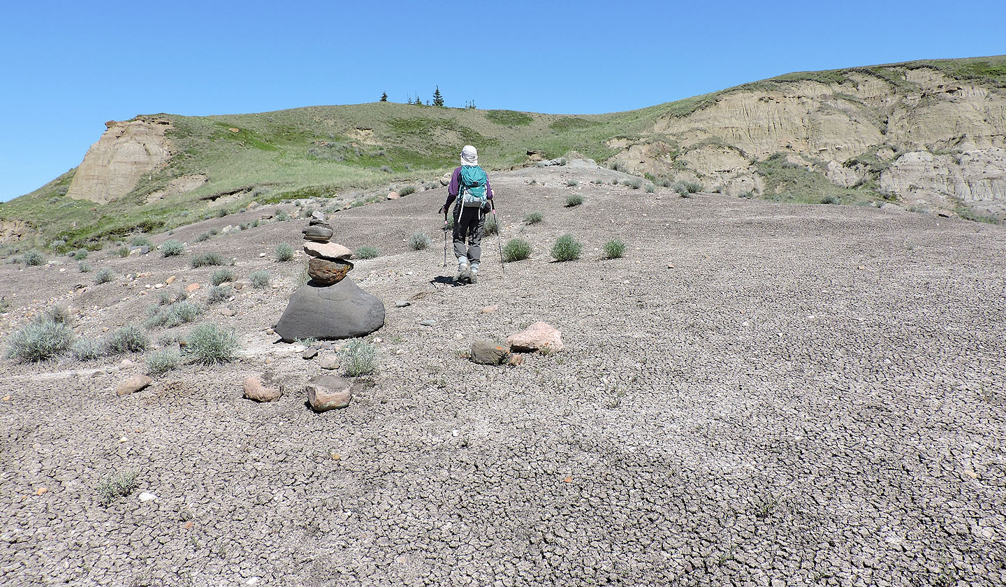
The mud is nearly rock hard and grips like sandstone
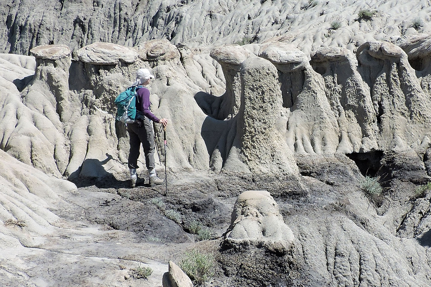
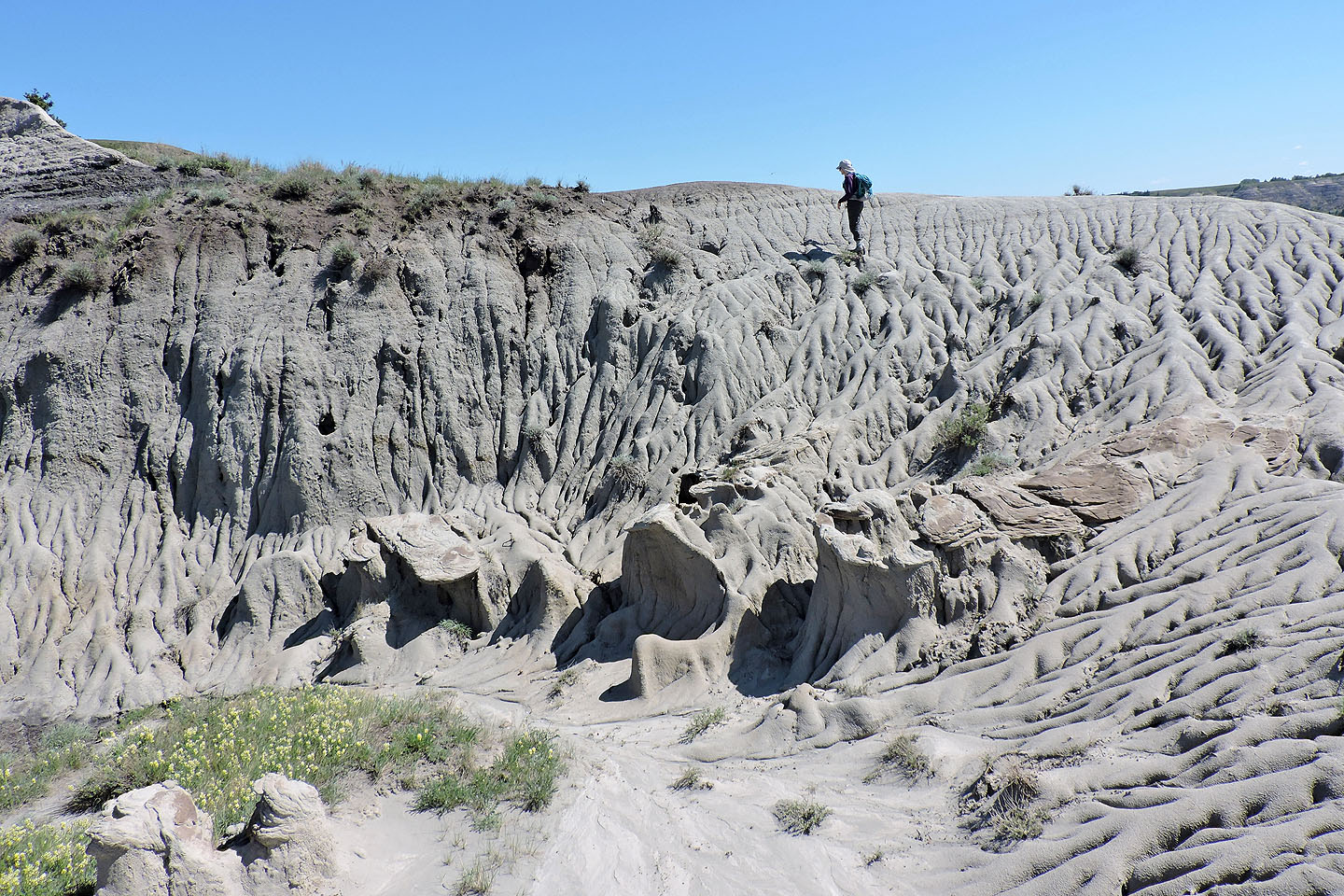
People-sized hoodoos appear to crowd around Dinah
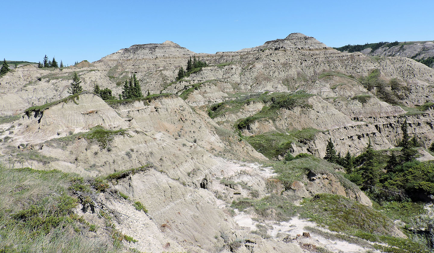
We continued on to the plateau
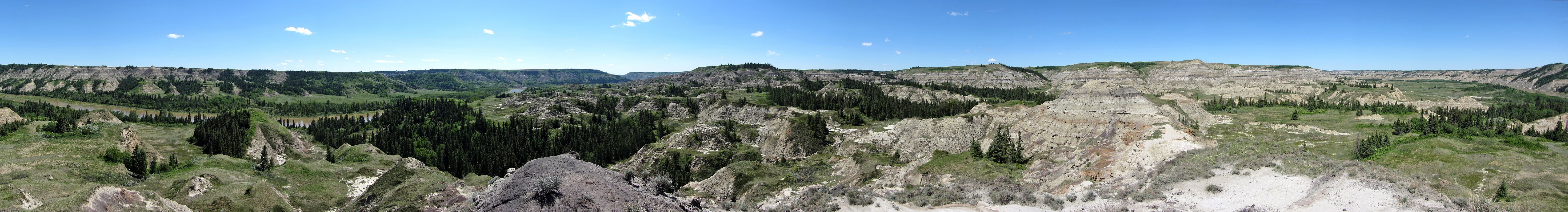
The terrain suddenly transforms from desert-like to verdant
We followed a trail up the plateau
The plateau is huge but uninteresting
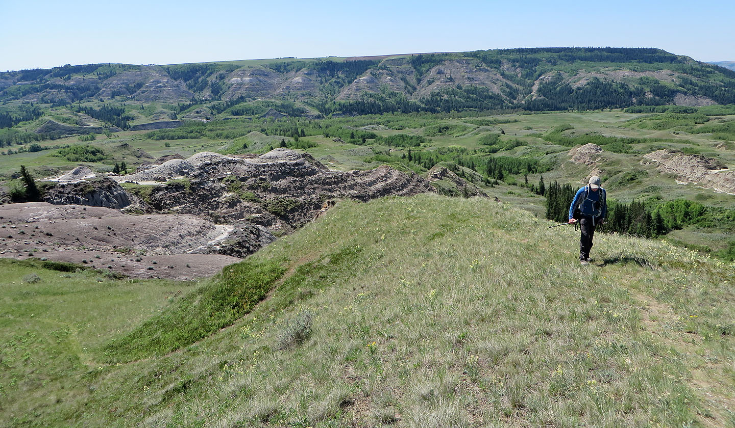
After crossing the plateau we looked for a place to descend
Coming down
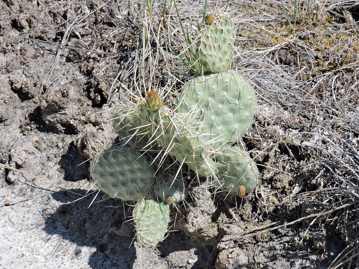 Prickly pear cactus
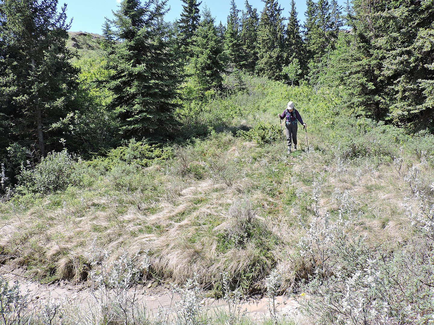
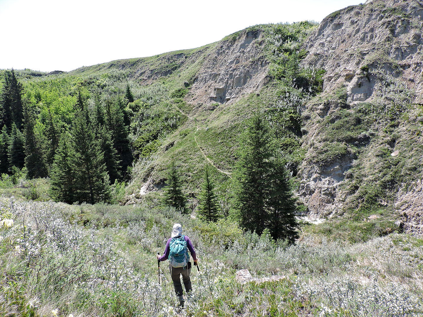
The easiest way down was using a faint trail through the trees
Looking back at the plateau we came down from. The trail we used ran through the trees in the centre.
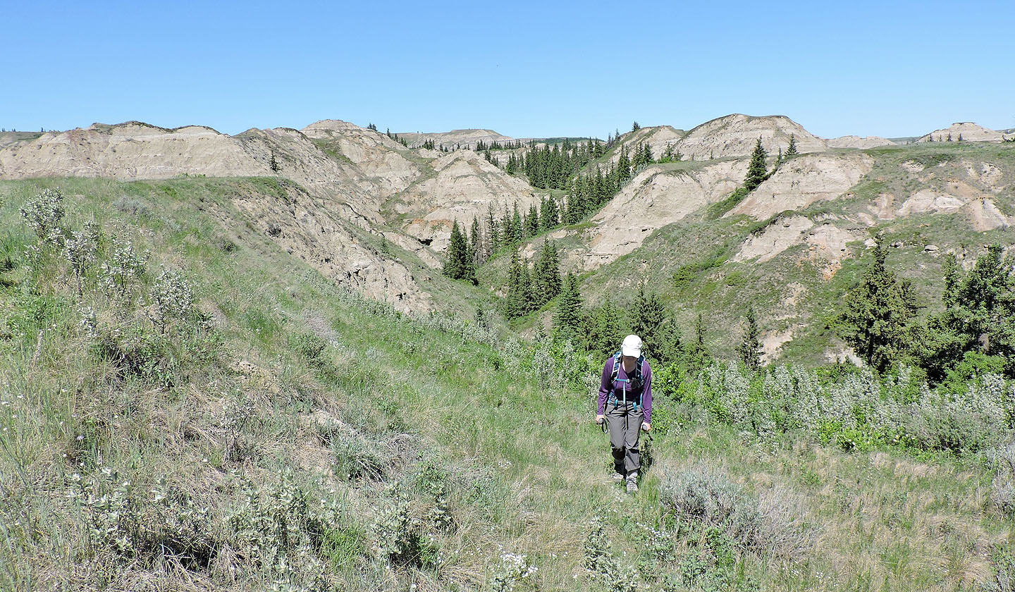
Our next objective was the knoll on the right although it meant crossing a gully
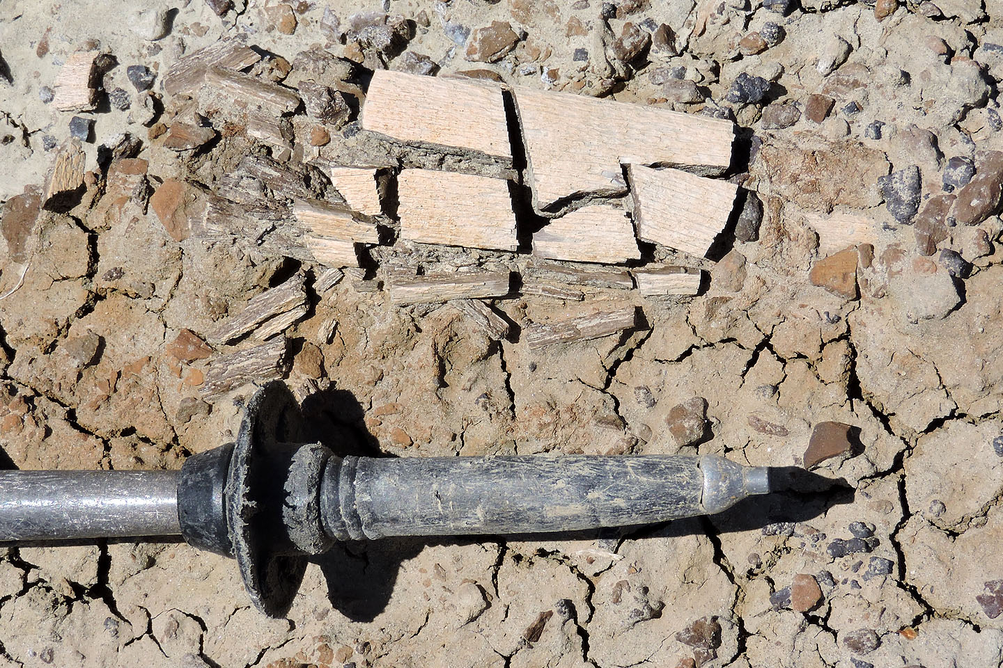
Fossilized bone fragments
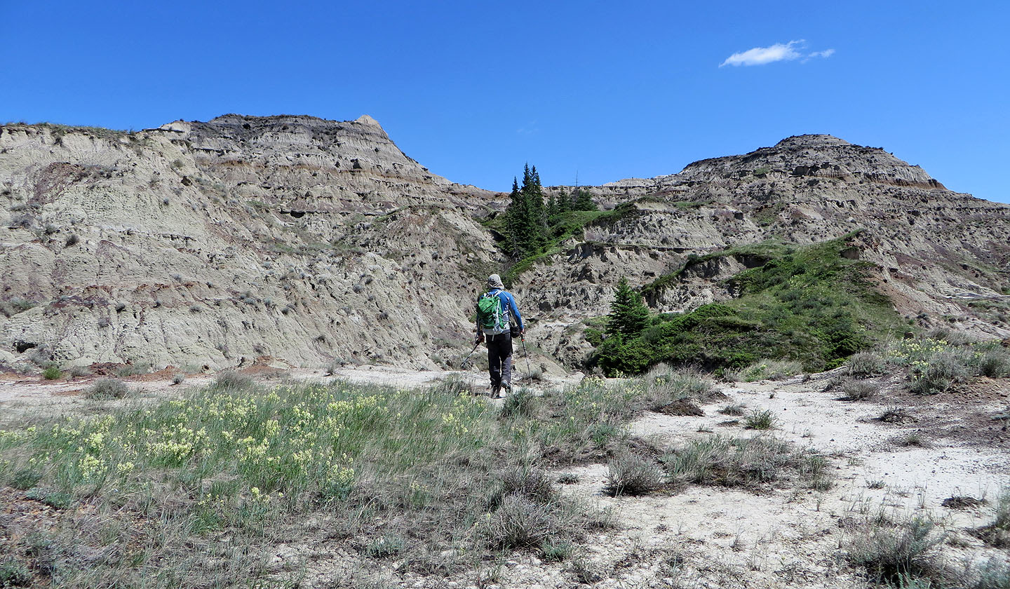
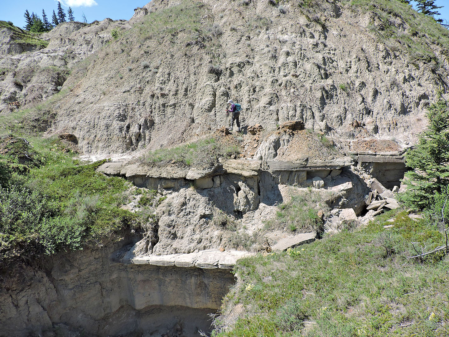
Approaching the knoll
We start climbing up
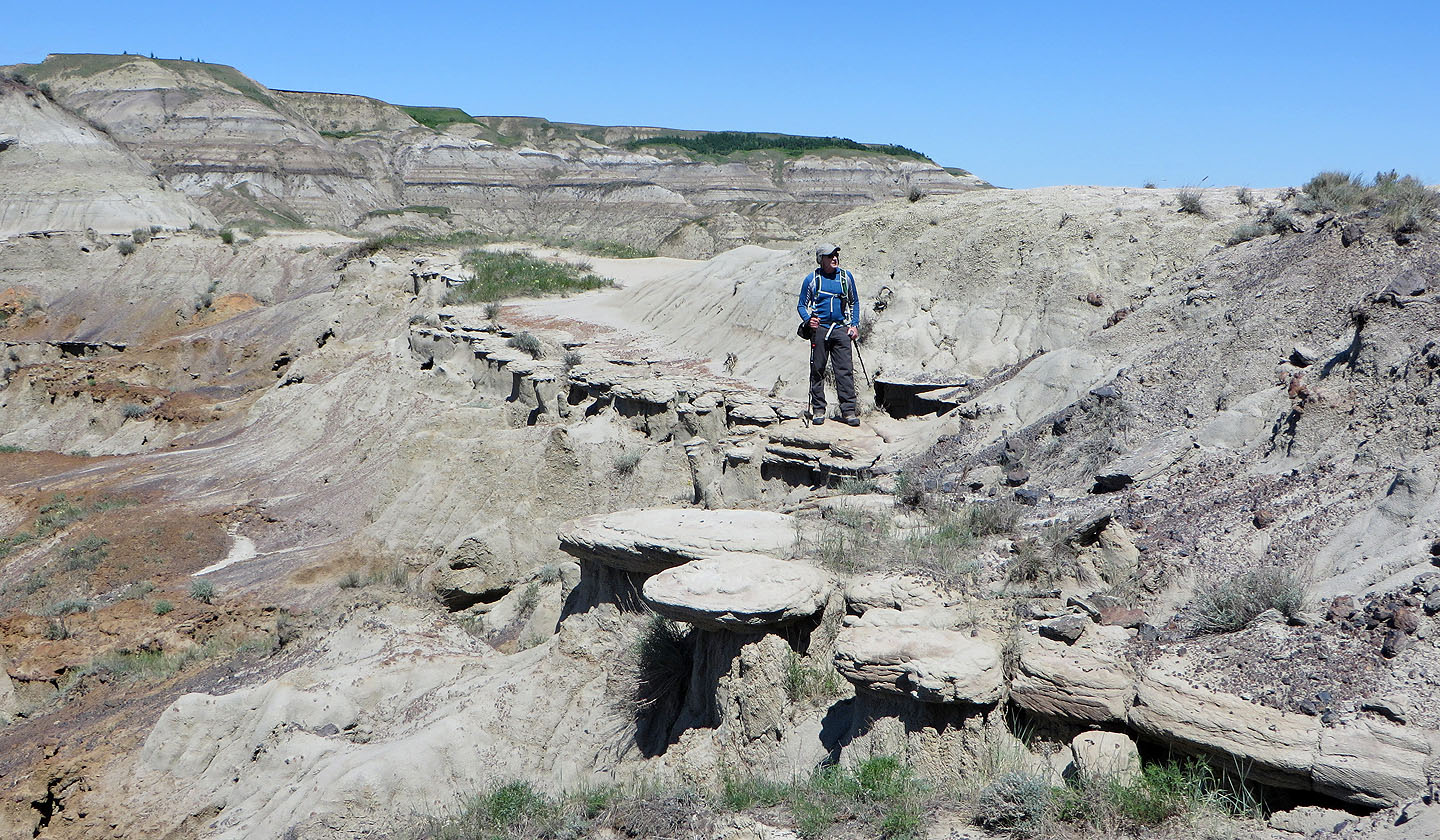
Pausing on stepping stones on the way up
View from the top
Heading back
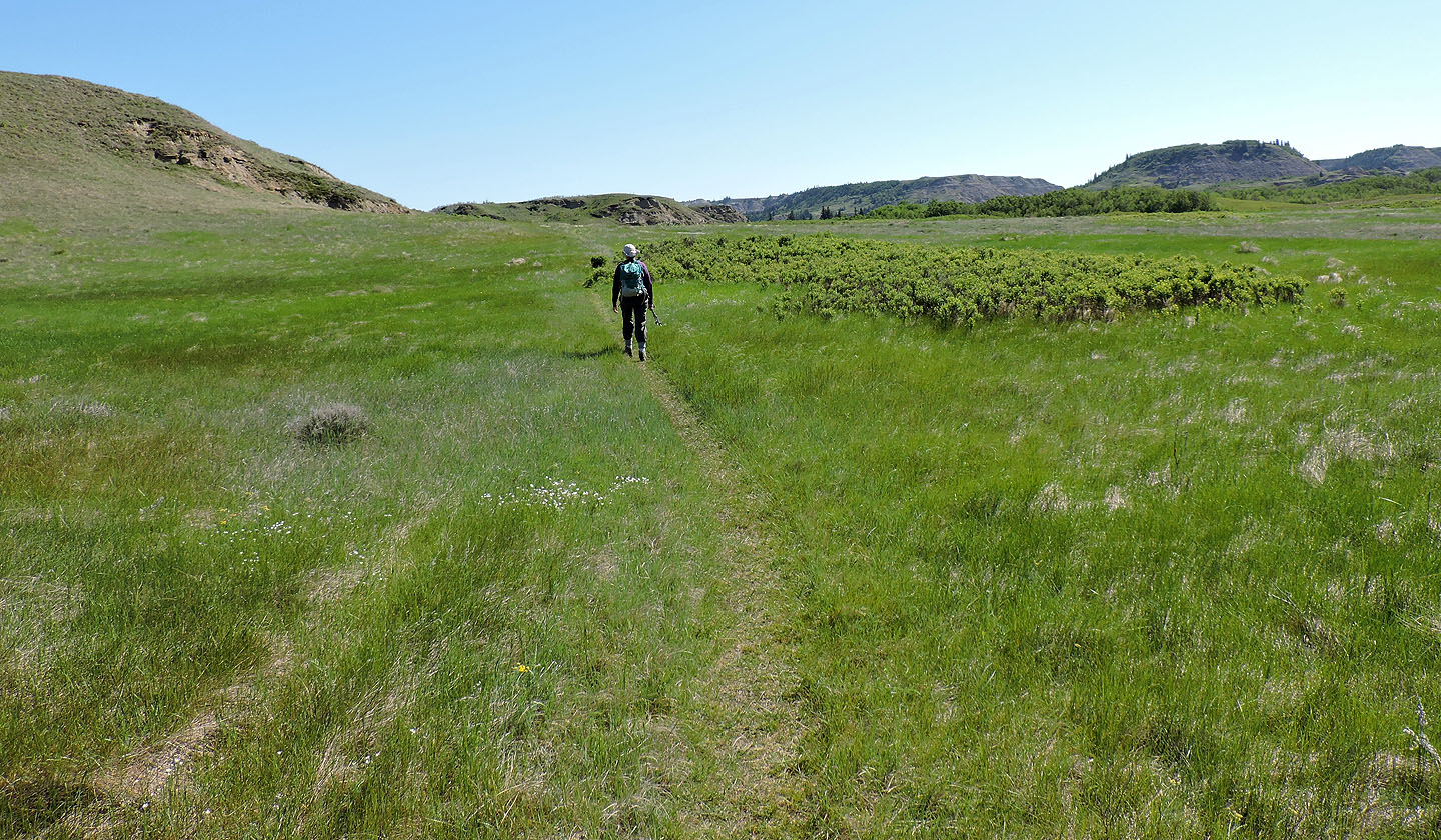
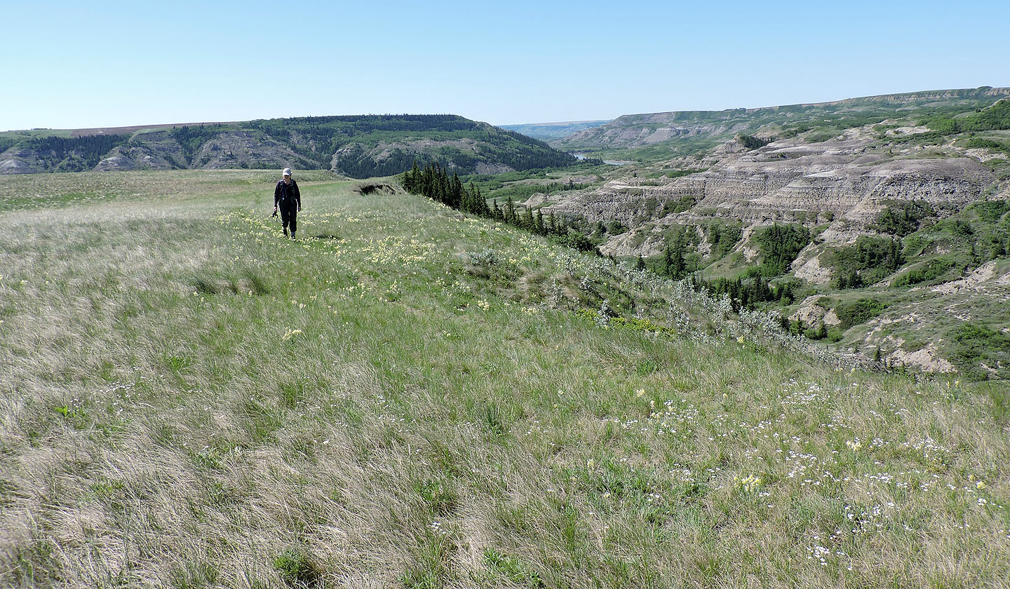
Following a faint trail across a grassy plateau
We were still several hundreds metres from the main trail, yet the trail ahead led all the way back to it
Looking back after hiking up the trail
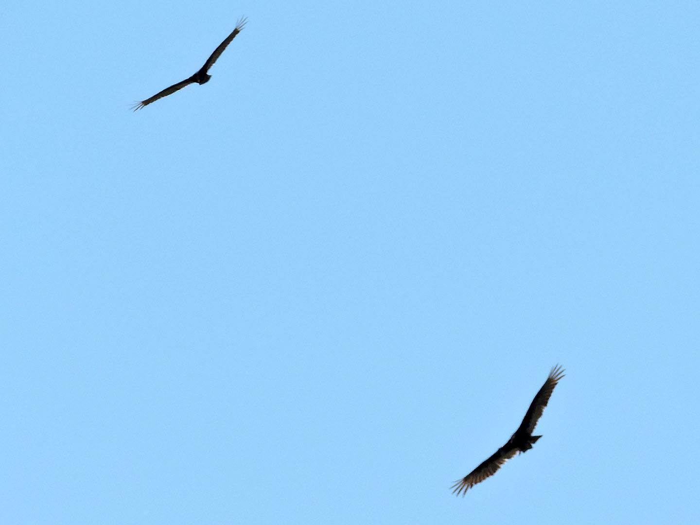
Turkey vultures circled overhead
We'll soon be back on the lower main trail
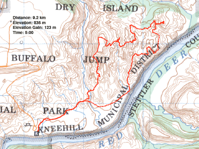
82 P/15 Rumsey