bobspirko.ca | Home | Canada Trips | US Trips | Hiking | Snowshoeing | MAP | About
Star Creek Hill (aka The Saddle)
Crowsnest Pass, Alberta
June 4, 2021
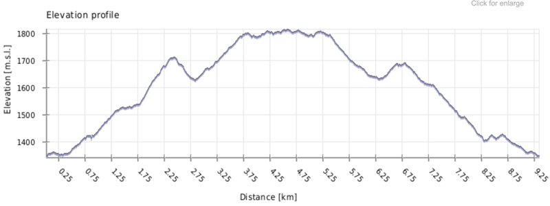
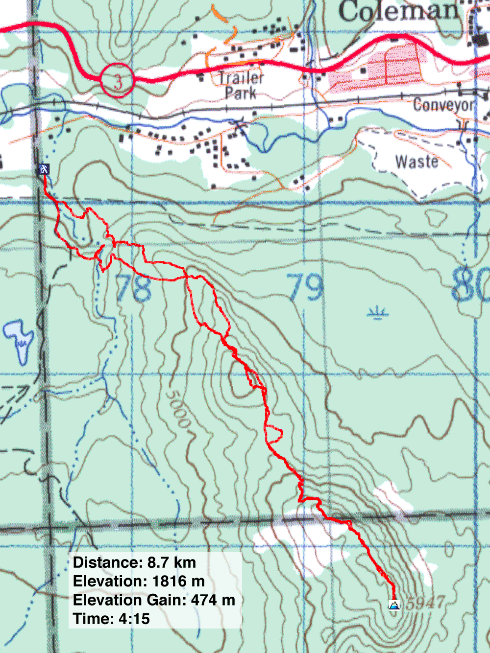
Distance: 8.7 km (5.4 mi)
Cumulative Elevation Gain: 667 m (2188 ft)
Star Creek Hill offers attractive landscapes, easy hiking on and off trails, and a curiously secluded summit. I thought of climbing it after reading Dave McMurray's trip report. Between his account and Sonny Bou's, I found more than sufficient information to set a route. Like them, I started at the end of 54 St. in Coleman.
The start takes advantage of the loop trail to Star Creek Falls. Either direction works, but the best viewpoint for the falls is reached quicker by going clockwise and is also the best place to reach the ridge that leads to Star Creek Hill.
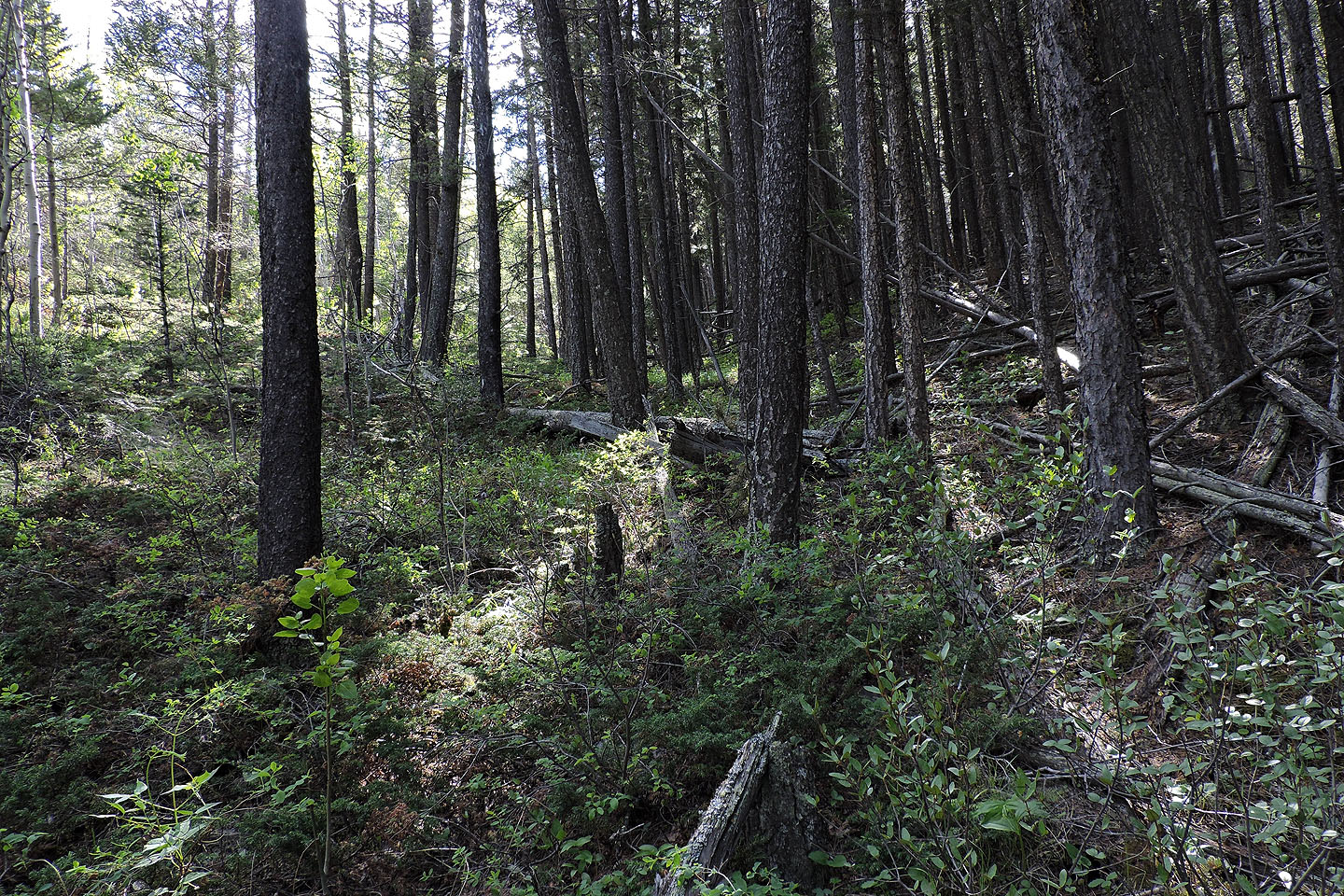
From the parking lot, I walked up a gravel road, passed the first trailhead and went to the second. The path runs alongside a stream, crosses a footbridge and climbs relentlessly to the top of a canyon that holds the falls. After viewing the falls across the canyon, I did an about-face and headed up the forested slope. Bushwhacking for 80 m brought me to a meadow.
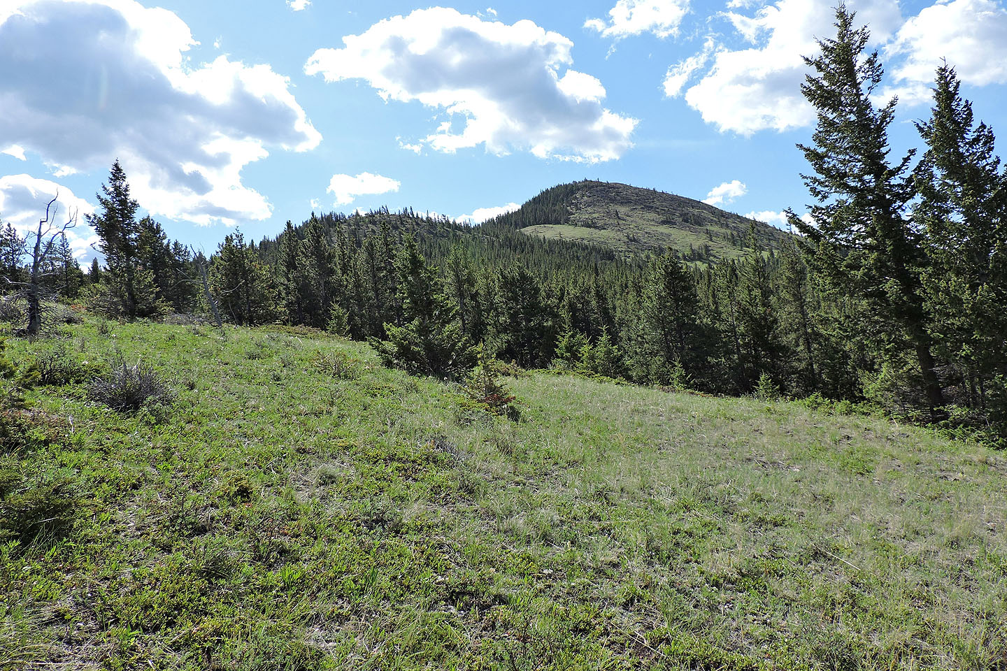
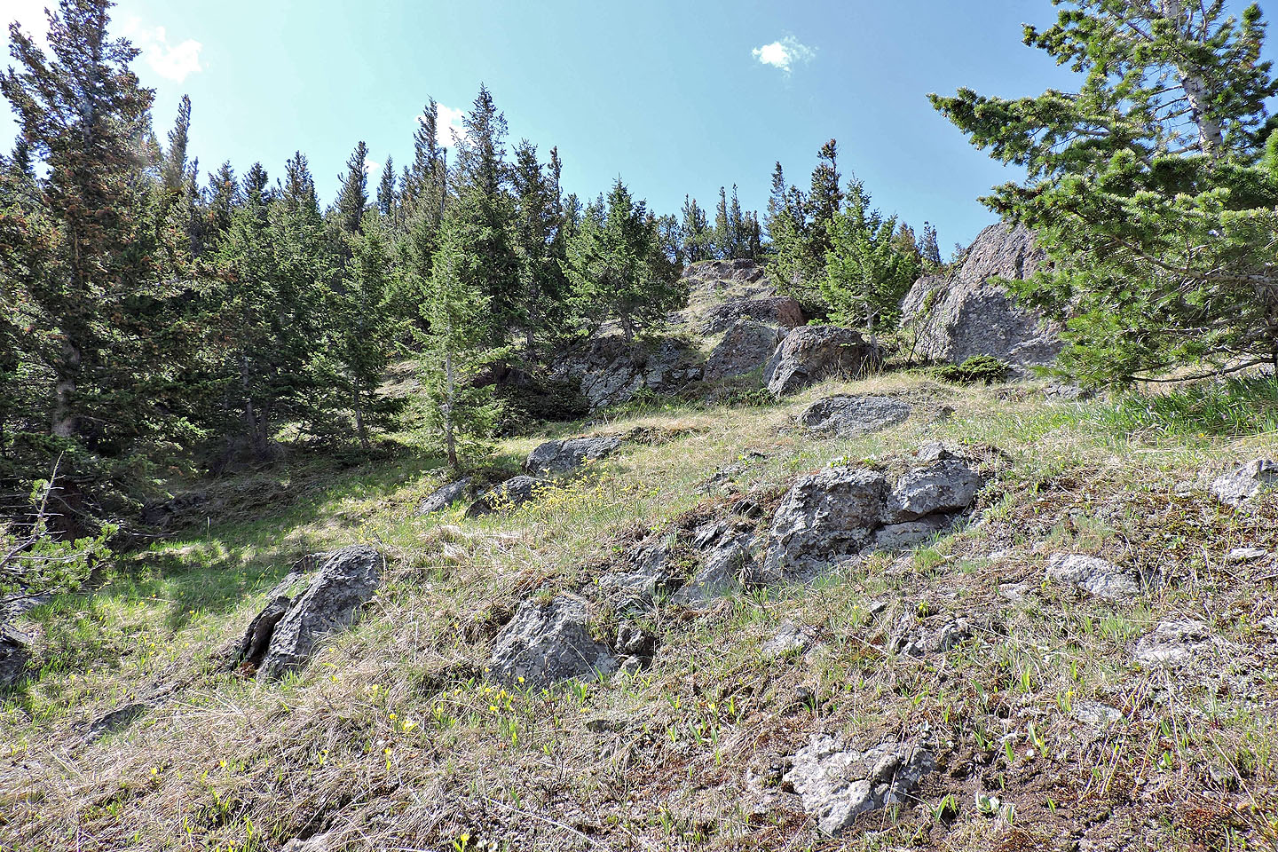
In the meadow, I stumbled upon a trail with flagging. The trail was short-lived but flagging and a blaze led to a trail in the trees. It was a great path; it covered a lot of ground, but I wished it climbed more aggressively. It ended on an open slope well below the ridge top.
While hiking up the slope, I was gobsmacked to see a large, black bird flying around. It circled me for several minutes. Perhaps it was trying to figure out what I was while I was trying to figure out what it was. Eventually I realized it was a turkey vulture. I was unaware their range had expanded to here.
After watching the big bird, I headed to the high point north of the saddle that connects to Star Creek Hill. I reached the high point or “northern tip” as Dave calls it, and dropped 80 m to the saddle. In the saddle, I hit Big Bear Down, a convenient mountain bike trail that Sonny mentioned.
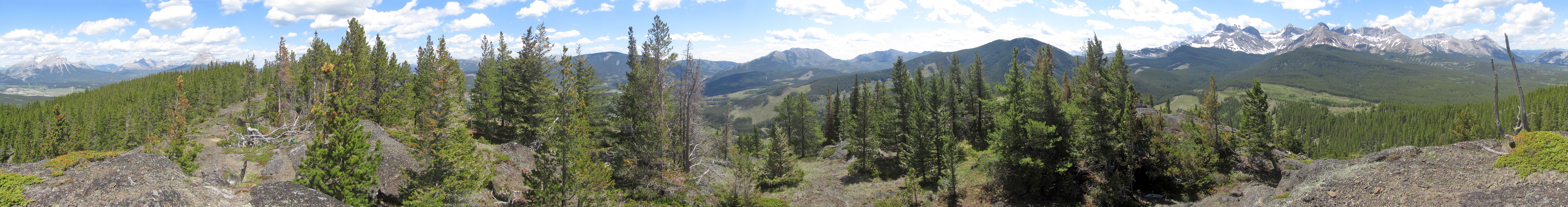
The trail climbs Star Creek Hill to two likely summits, the first one rocky and the second higher and grassy. I can understand why someone would turn around here: there is no trail to the true summit hidden in trees 250 m away. The little bump is a couple of metres higher than the false summits.
I spent several minutes on top trying to take photos in the strong wind before heading back. Coming down Big Bear Down, I exited the trail belatedly but easily crossed the saddle to get back on track.
Instead of descending from the saddle as others had, I followed the ridge back. I favoured the quickest return with the least bushwhacking. Fortunately I didn't have to climb back up the northern tip; I contoured below it using an animal trail.
I followed the ridge back and returned to Star Creek Falls trail. Instead of going down the trail I came up, I continued along it to complete the loop. The trail drops down to a footbridge and climbs up the canyon wall opposite to where I had been in the morning. I ventured down a short trail to a viewpoint before continuing to the trailhead. Finishing the loop took more time and effort than I expected, and it didn't offer a decent view of the falls. But it was part of the adventure I had climbing Star Creek Hill.
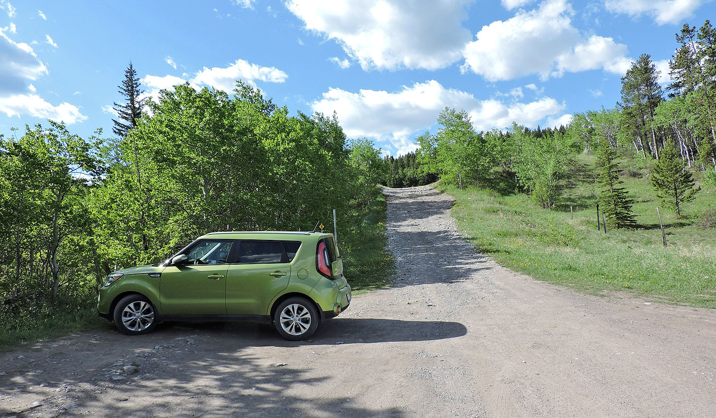
The trail begins 150 m from here, but I didn't attempt driving up the rough road
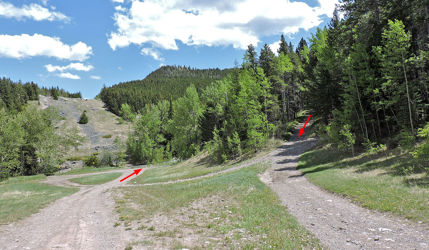
I started up the far trail for Star Creek Falls and came down on the right
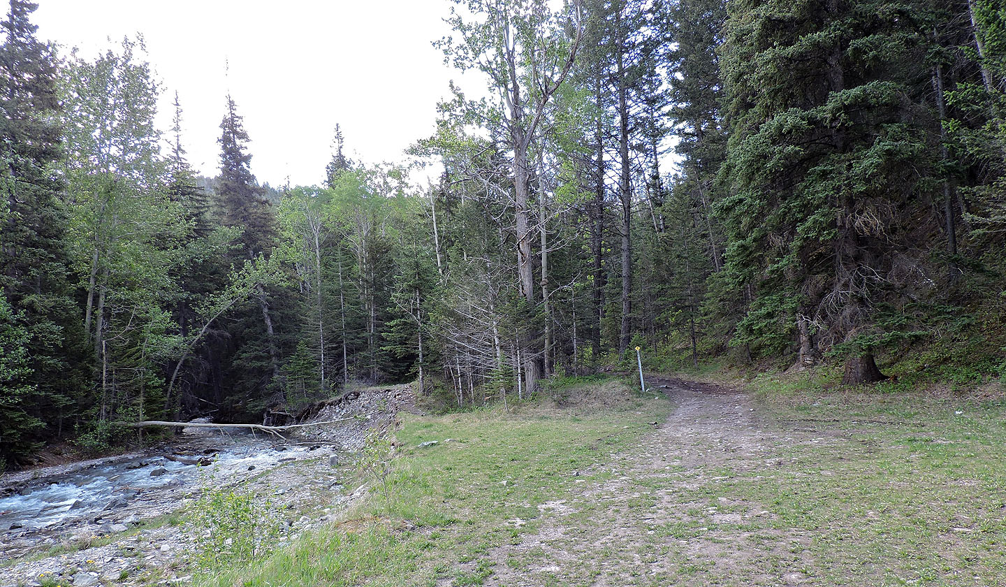
The trail begins next to a creek
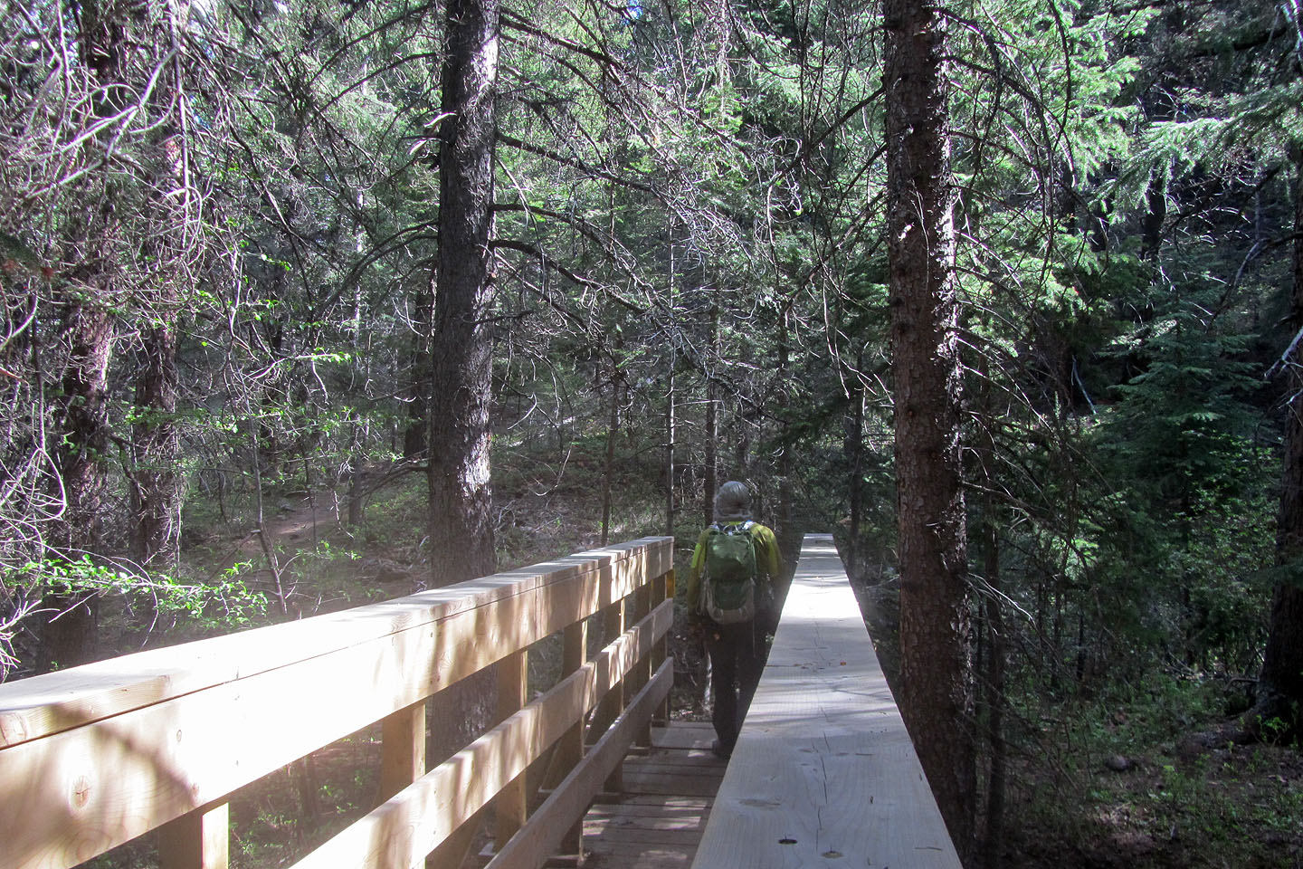
Crossing the footbridge
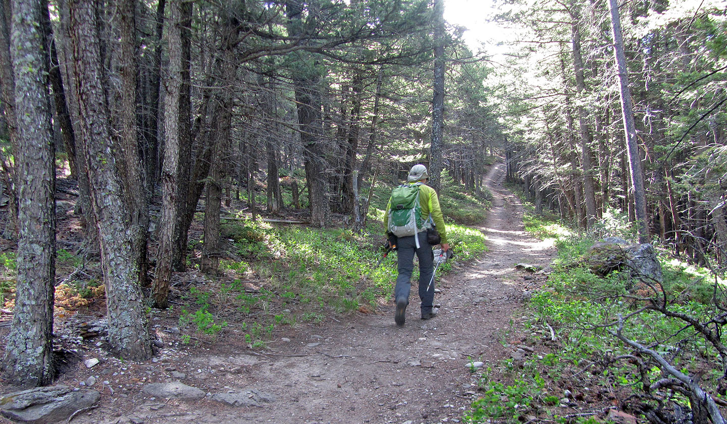
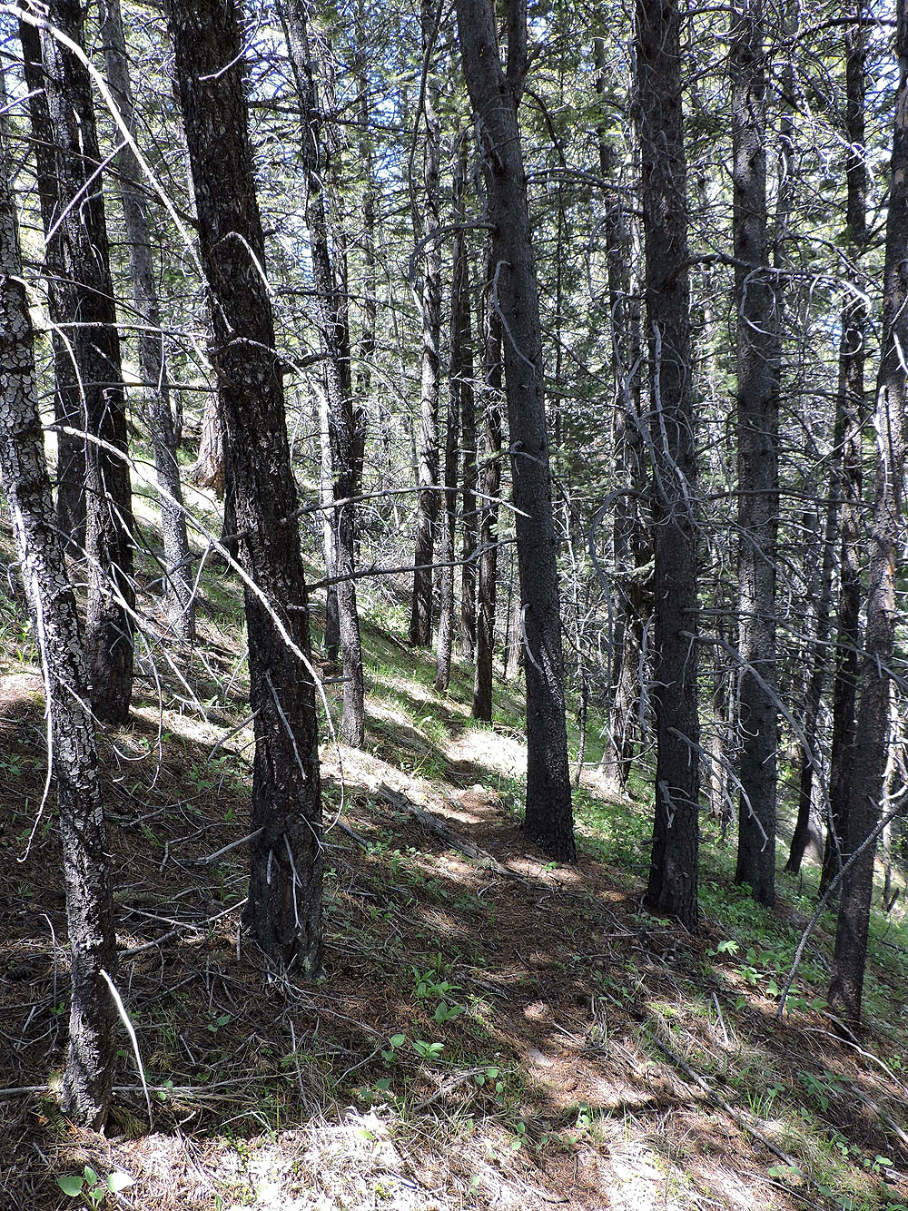
Going up the trail after the bridge
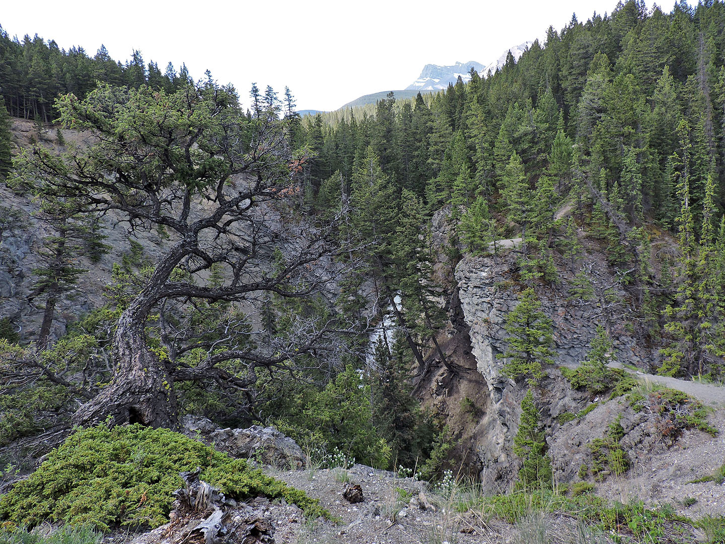
The falls are barely visible from this viewpoint. On my descent, I went down the path seen on the clifftop on the other side of the canyon.
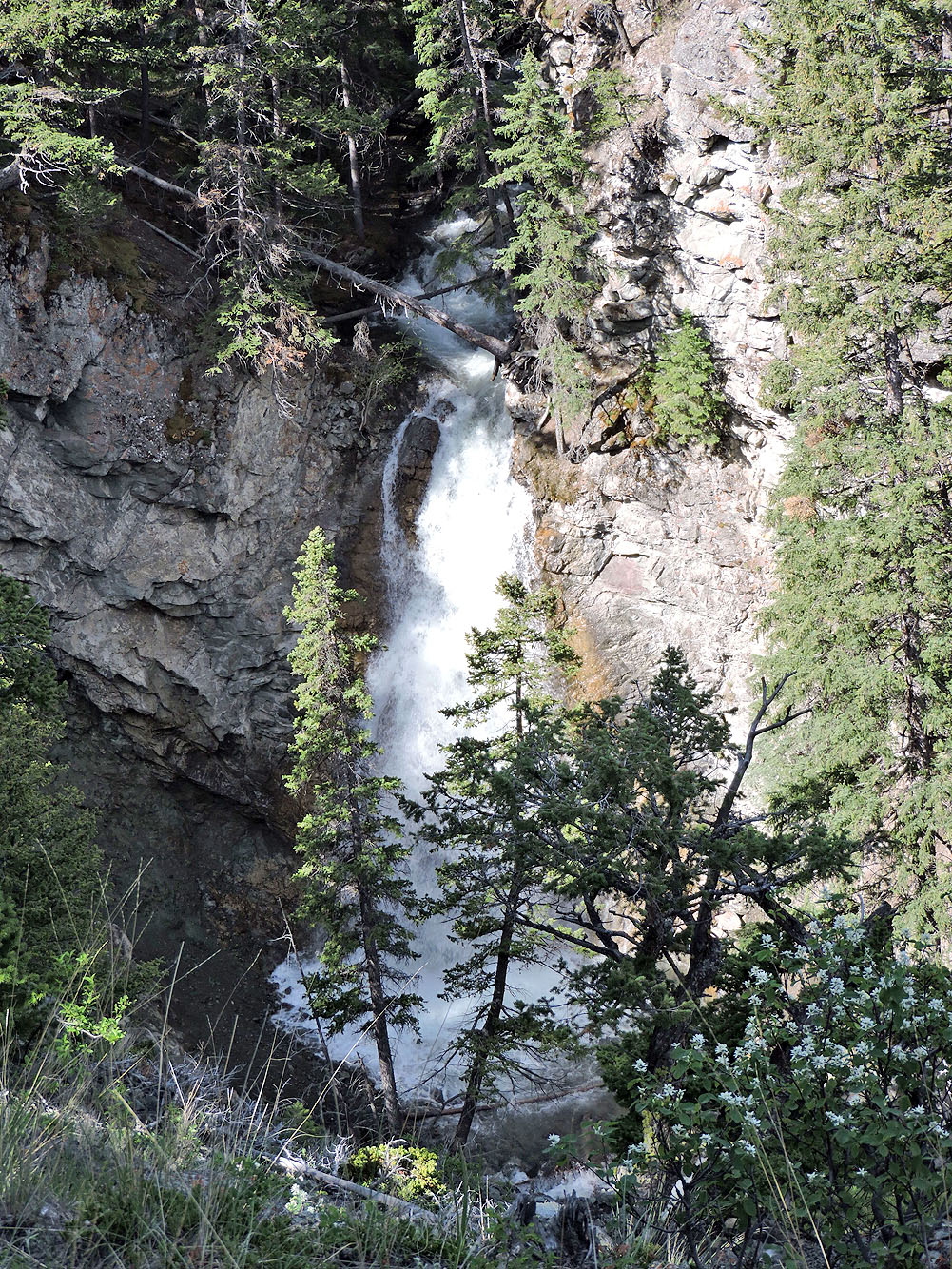
Further along the trail, I found a better view of Star Creek Falls
I left the trail at the viewpoint and hiked up the slope
After bushwhacking 80 metres, I reached a meadow
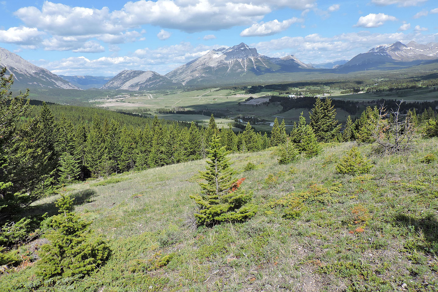
Behind me, in the centre, was Mount Tecumseh
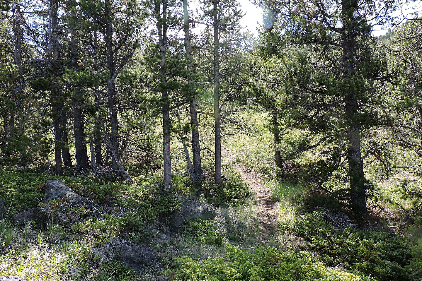
I soon came across a path
The path ended, but flagging and a blaze led to a trail in the trees.
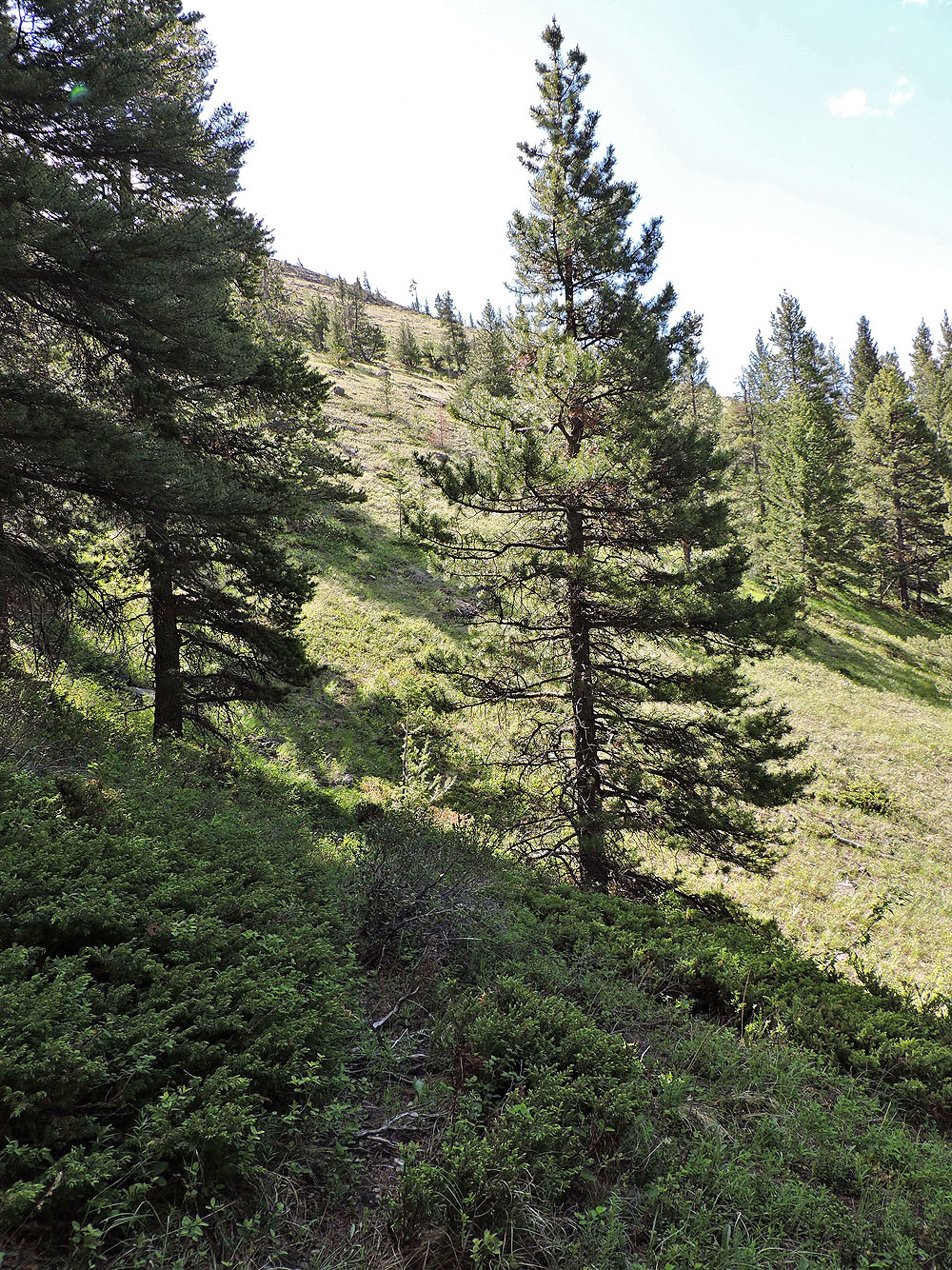
The trail ended on an open slope well below the ridge crest
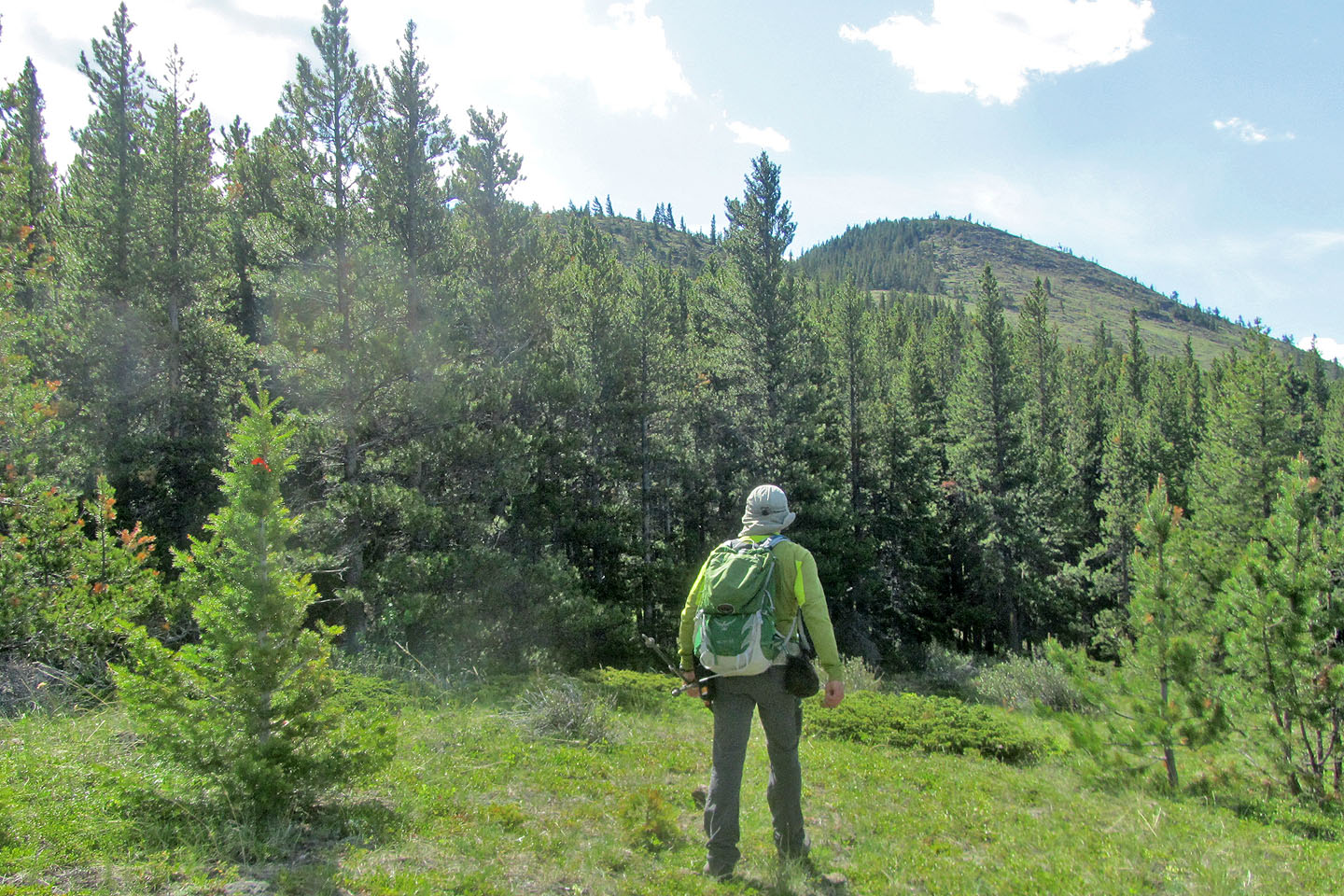
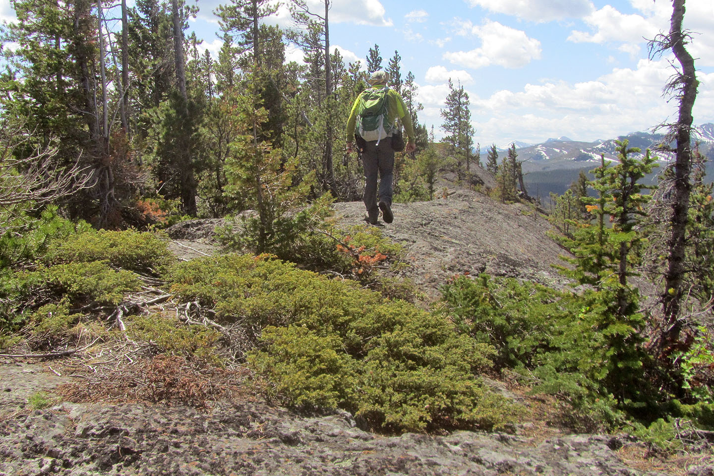
I headed to the top of the ridge
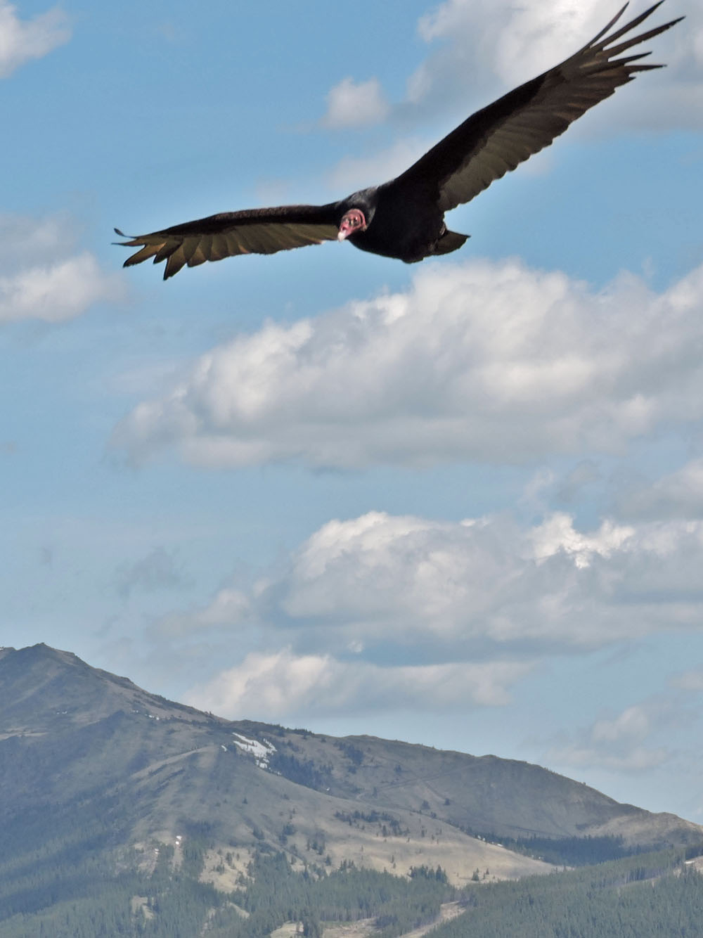
A turkey vulture circled around me
Looking back, you can see the open slope I ascended. But on my descent, I followed the ridge down.
I made my way to the top of the northern tip
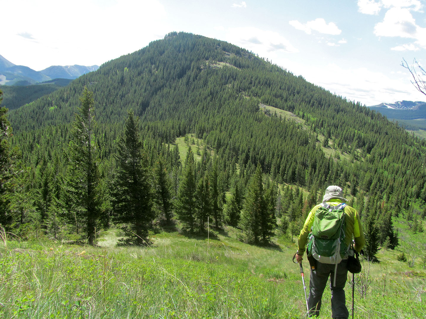
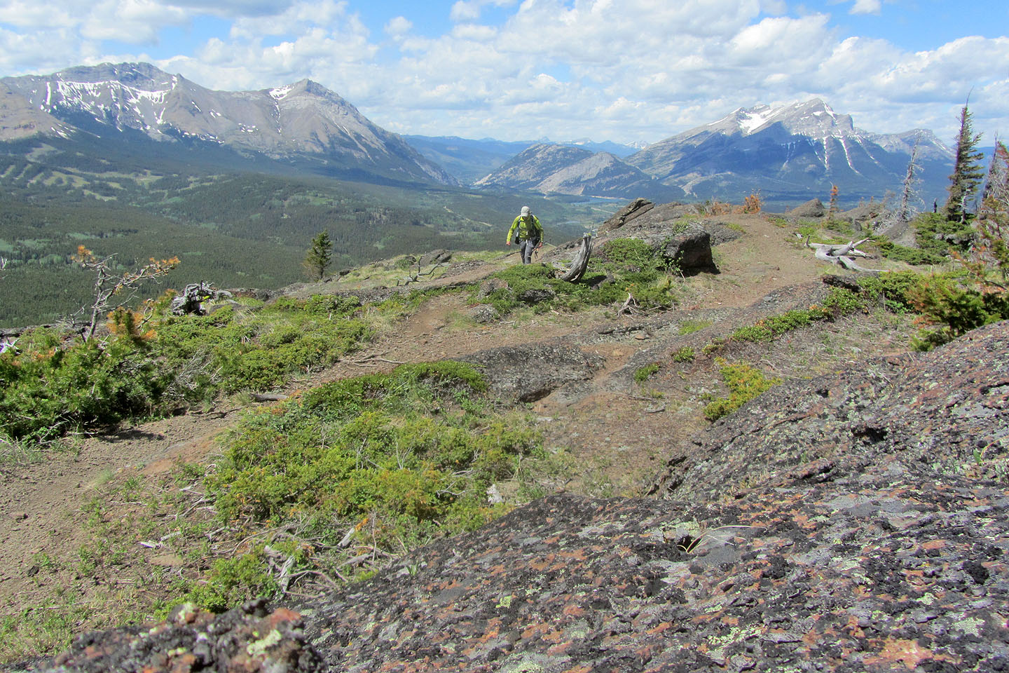
A gentle saddle leads to Star Creek Hill
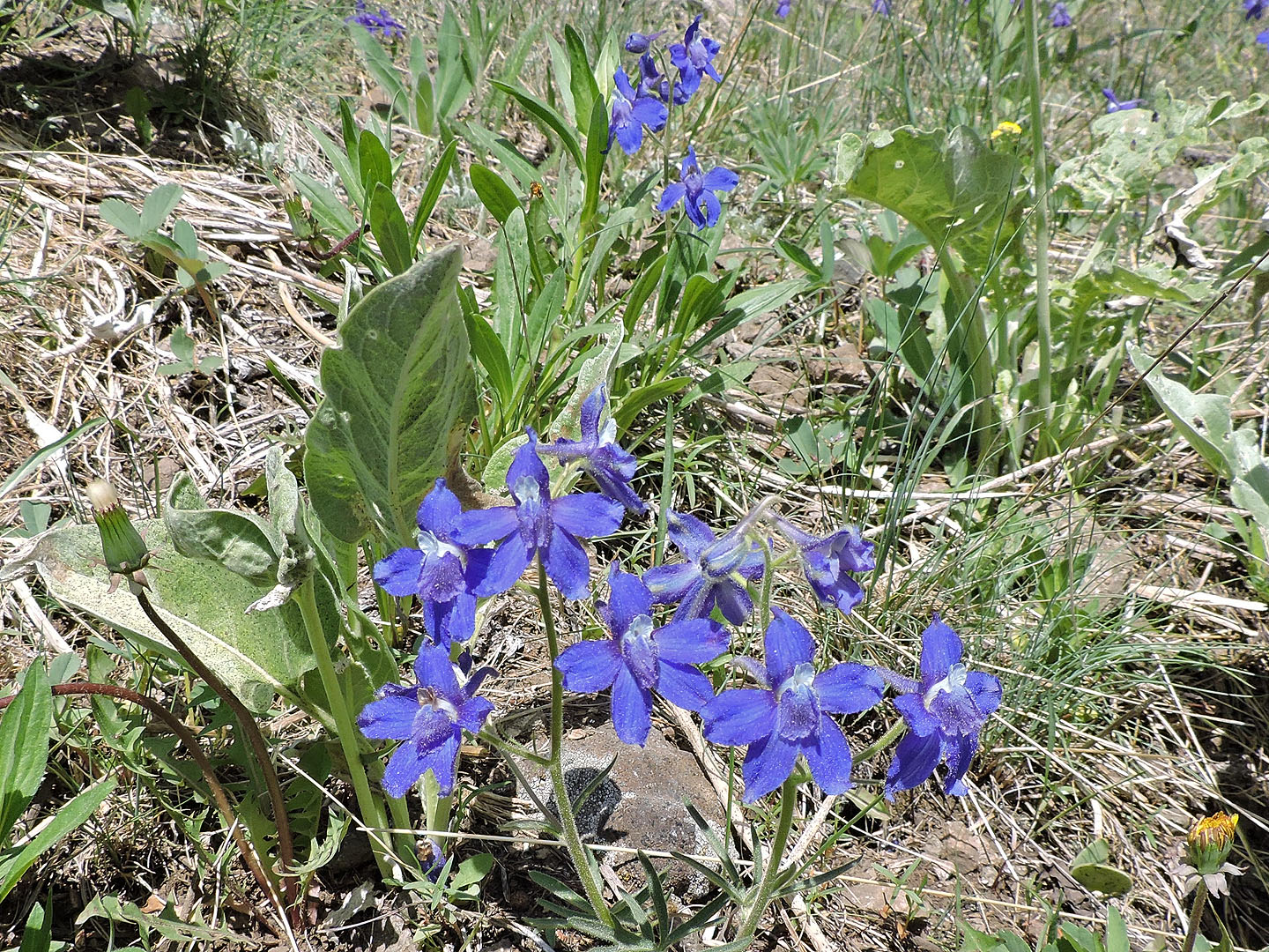
Larkspur wildflowers graced the hillside
I dropped down to the saddle
Looking back across the saddle at the northern tip
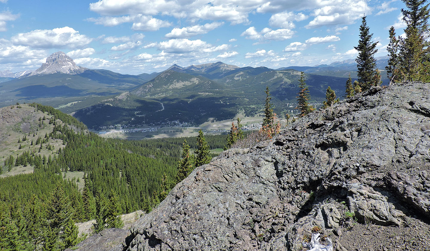
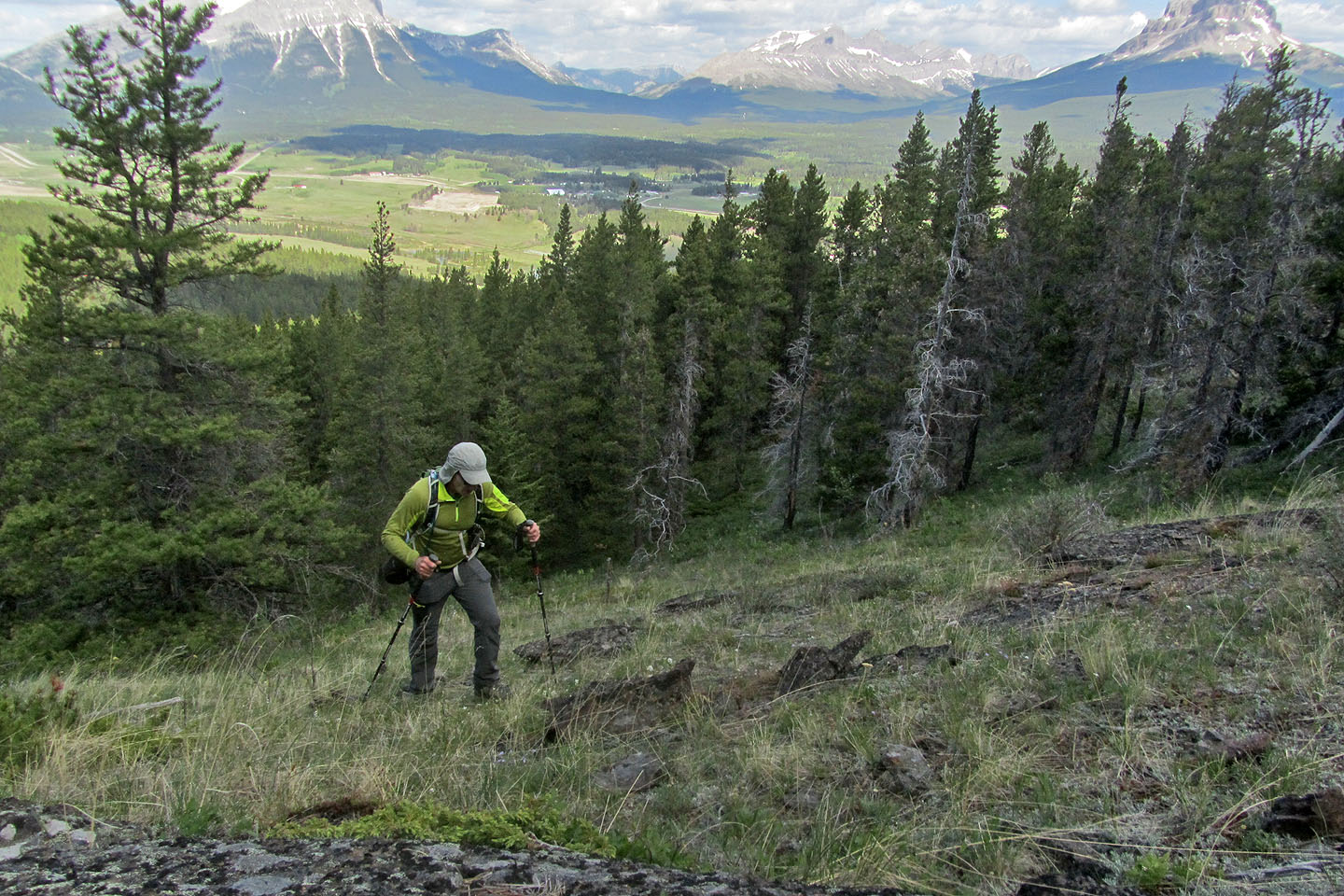
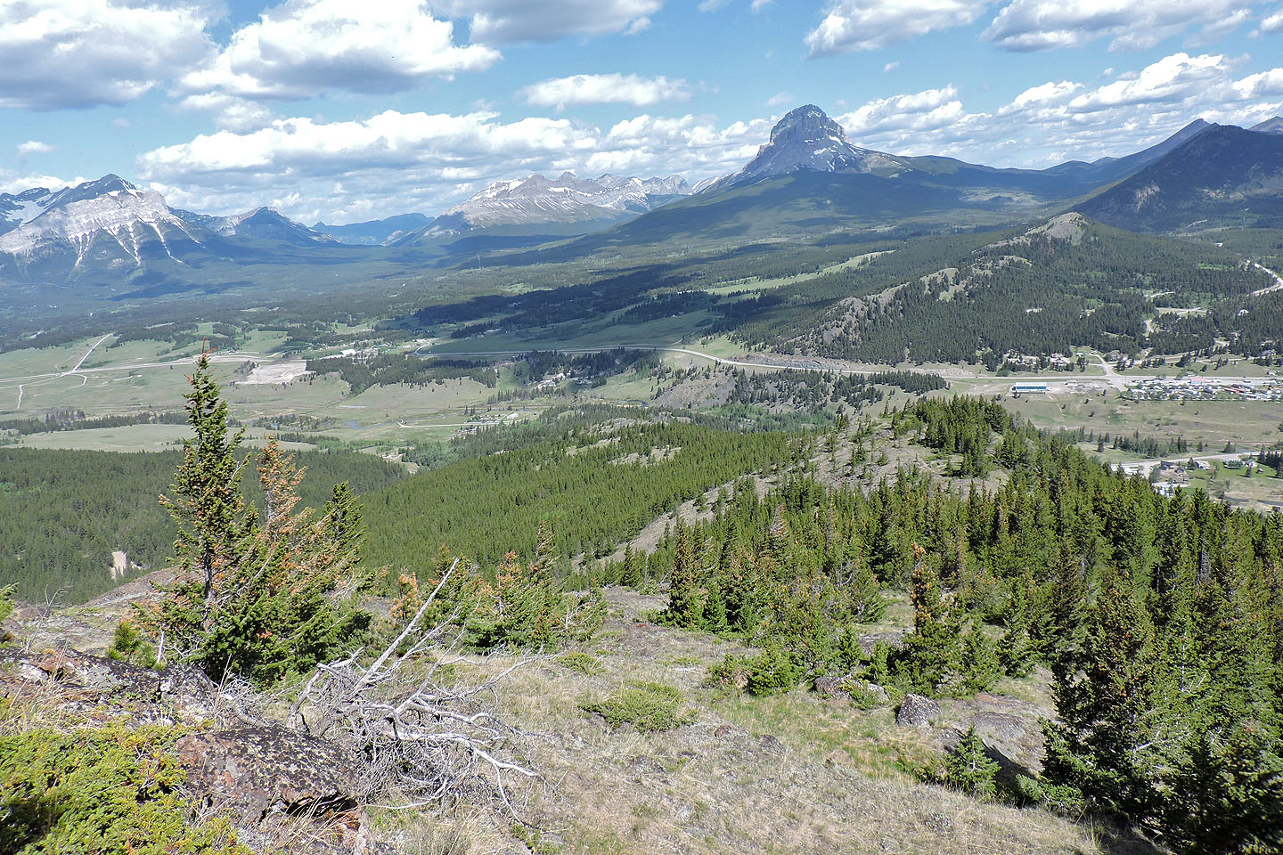
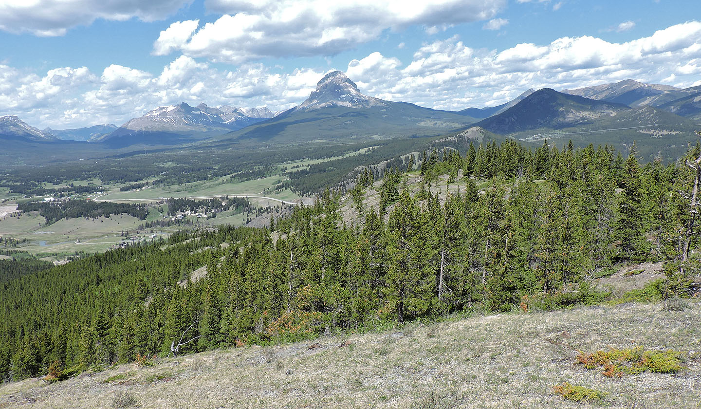
Looking back at the saddle. Coleman lies below. Crowsnest Mountain is on the left.
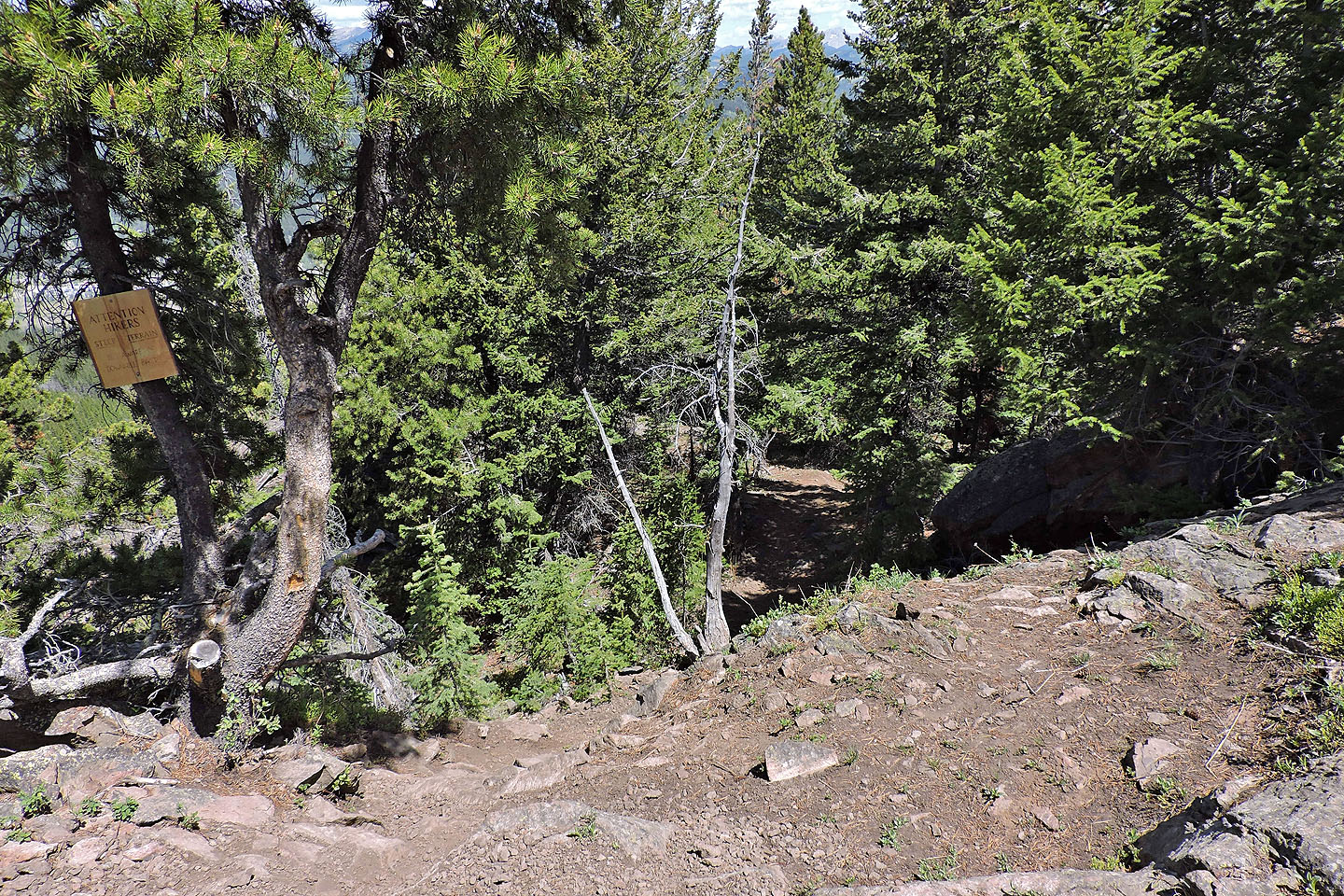
Looking back down the trail where a sign warns hikers of mountain bikers (mouse over)
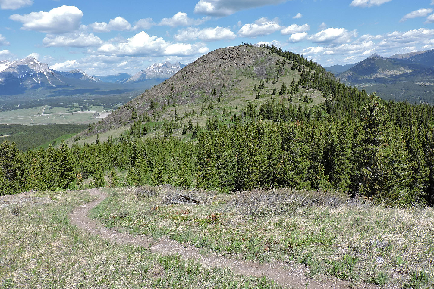
Coming to the first false summit
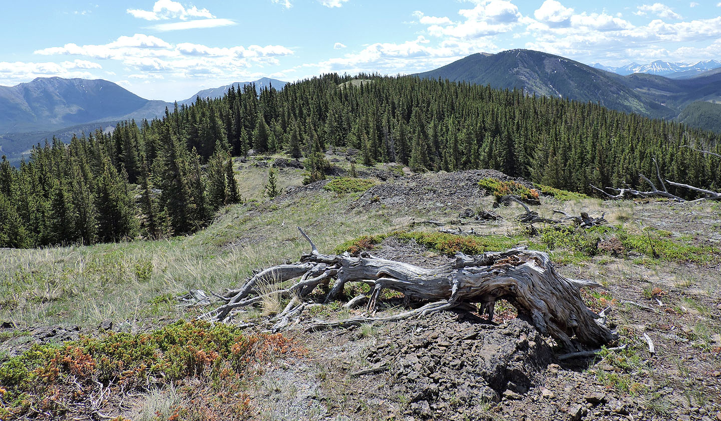
From the first false summit, the second false summit can seen. The true summit is another 250 m.
The bump ahead is the summit
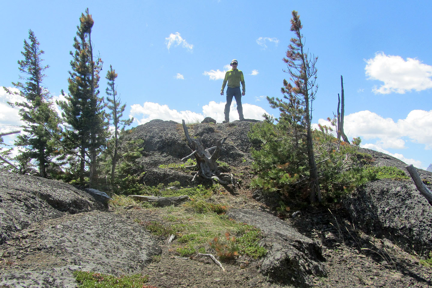
Standing on the summit
On the way back, I followed an animal trail that cuts below the northern tip
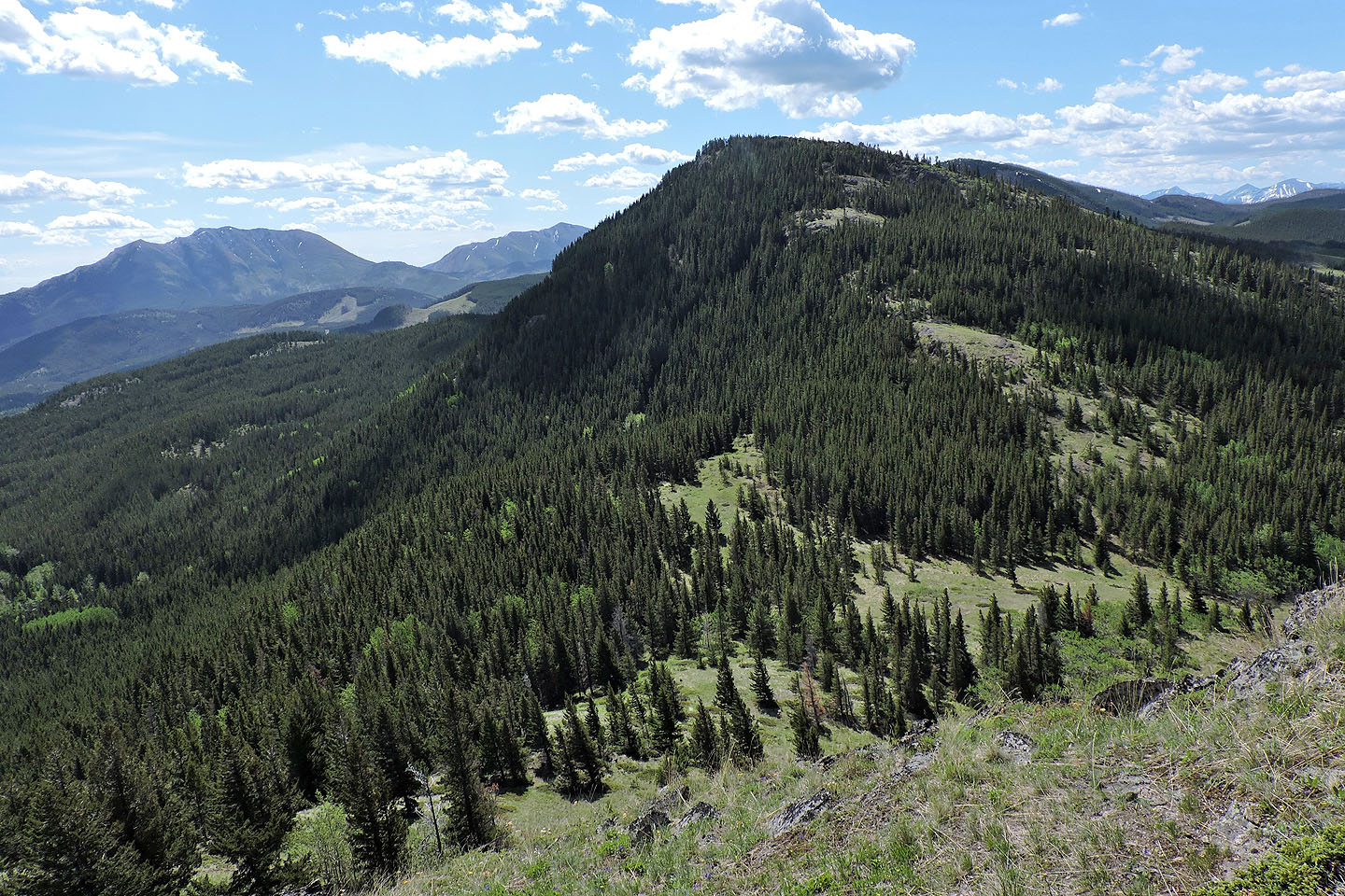
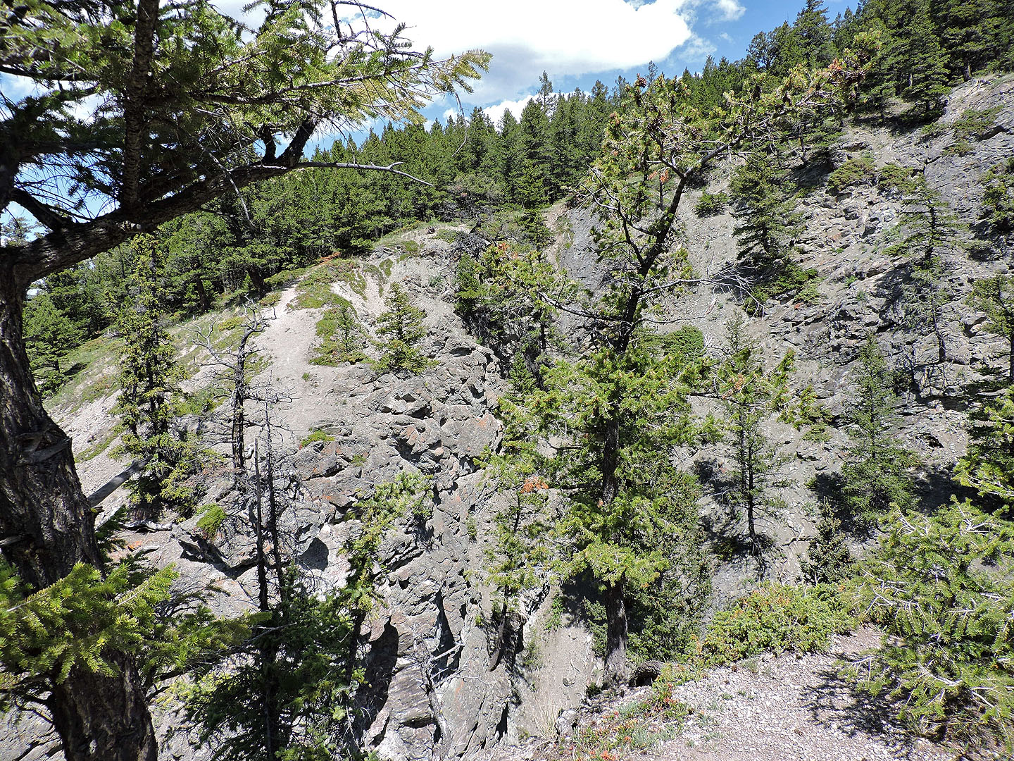
I easily followed the ridge back
I completed the Star Creek Falls loop to gaze across the canyon to where I stood in the morning
82 G/10 Crowsnest