bobspirko.ca | Home | Canada Trips | US Trips | Hiking | Snowshoeing | MAP | About
Antelope Butte
Livingstone Range, Alberta
October 13, 2022
Distance: 7.5 km (4.7 mi)
Cumulative Elevation Gain: 303 m (994 ft)
Anyone hankering to see hoodoos, consider hiking Antelope Butte. The low ridge bears sections bristling with the knob-like rocks. However, it's on public agricultural land, so you'll need permission from the leaseholder for Recreational Access. A nod to Sonny whose trip report caught my attention.
I parked by the access gate and while preparing, a truck pulled up. The driver knew the leaseholder and pleasantly asked a few questions and offered helpful suggestions. When I enquired about hunters, he had a surprising story. He heard it from a bowhunter who was in the area a couple of days earlier. Using a horn, the hunter called and successfully attracted an elk. But before the animal came within range of his bow, a grizzly attacked the elk! The hunter fled, thoroughly shaken by the sight.
With thoughts of hunters, bears and elk running through my mind, I stepped through the gate and strode across the grassy plain to the ravine bearing a creek. I was going down a trail when I suddenly heard a menacing sound, like a groan or a growl. I turned around to see a bull staring at me. It had appeared from nowhere and now stood near the trail. The leaseholder had warned me about a bull. It didn't have horns, but the other parts were there.
I continued to the creek, but kept looking back. The bull didn't move but continued glaring at me. At the creek, I spent several minutes looking for a place to set my camera to photograph my creek crossing. When I turned around, the bull was 30 feet away, staring at me. I skipped the photo and hastily hopped across the creek. I climbed out of the ravine, while the bull stayed on the other side of the creek.
Antelope Butte is shaped like a narrow horseshoe running south to north. Following Sonny's example and the driver's advice, I ascended the western ridge and descended the eastern ridge. A fence interrupts the prairie before the ridges, but I found a gate to pass through.
I made my way to the western ridge and was soon threading through hoodoos. I hiked along the ridge, through meadows, thin forests and hoodoos. The hoodoos were fascinating, but the summit was humdrum, just a grassy hilltop ringed with trees. I continued down the eastern ridge. Much of it on a trail in trees, but a few hoodoos made it interesting.
After coming off the ridge, I headed to the creek. There was no sign of the bull, so again I set about taking a photo of my crossing. Then I turned around to find the bull ten feet away, staring at me from across the creek. Somehow the huge animal had pushed through bushes without making a sound. He appeared less threatening now, so I waited by the creek. Eventually he lost interest and moved a short distance away. He ignored me as I crossed the creek and cautiously passed him. It was an unusual finish to an interesting hike.
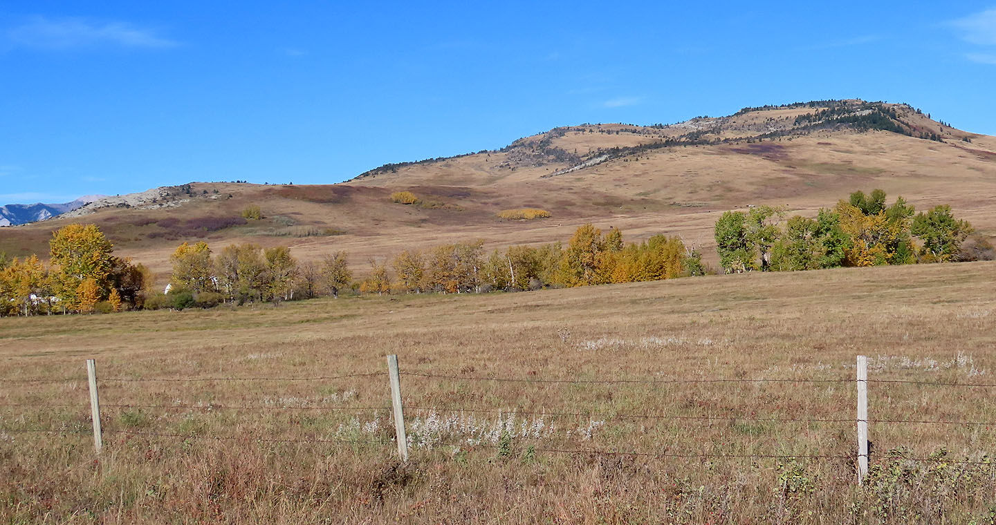
View from the road shows the long, low ridges of Antelope Butte
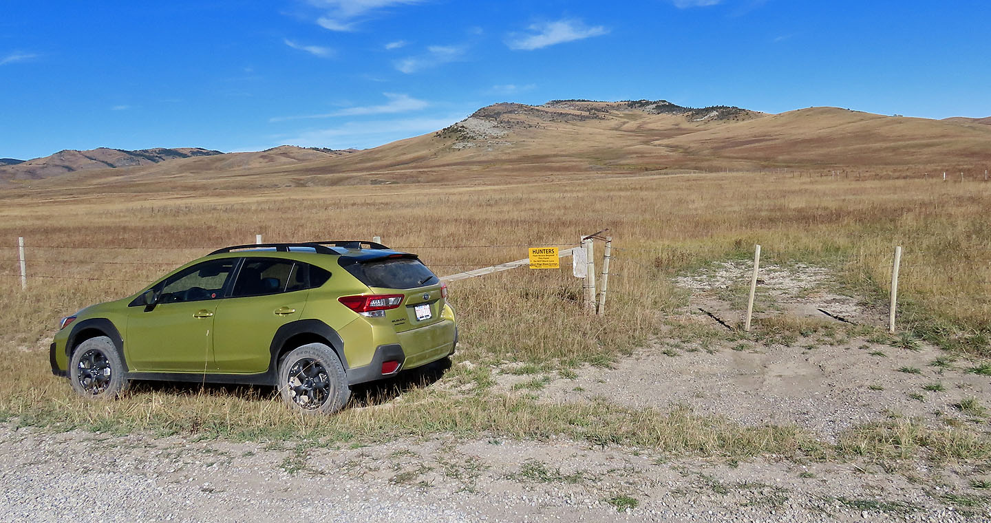
I parked by the gate. A sign reads foot access only.
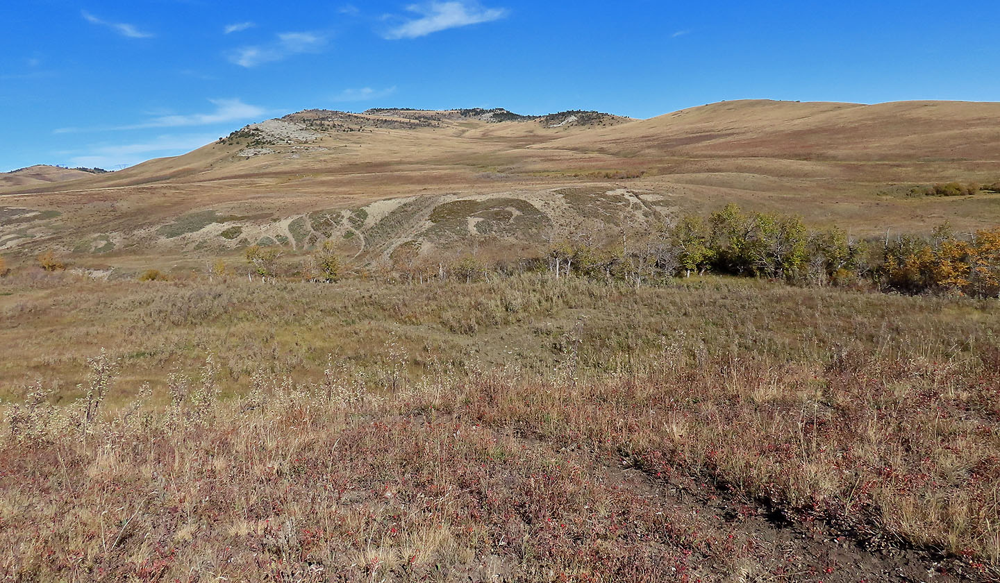
Coming to the ravine with the creek
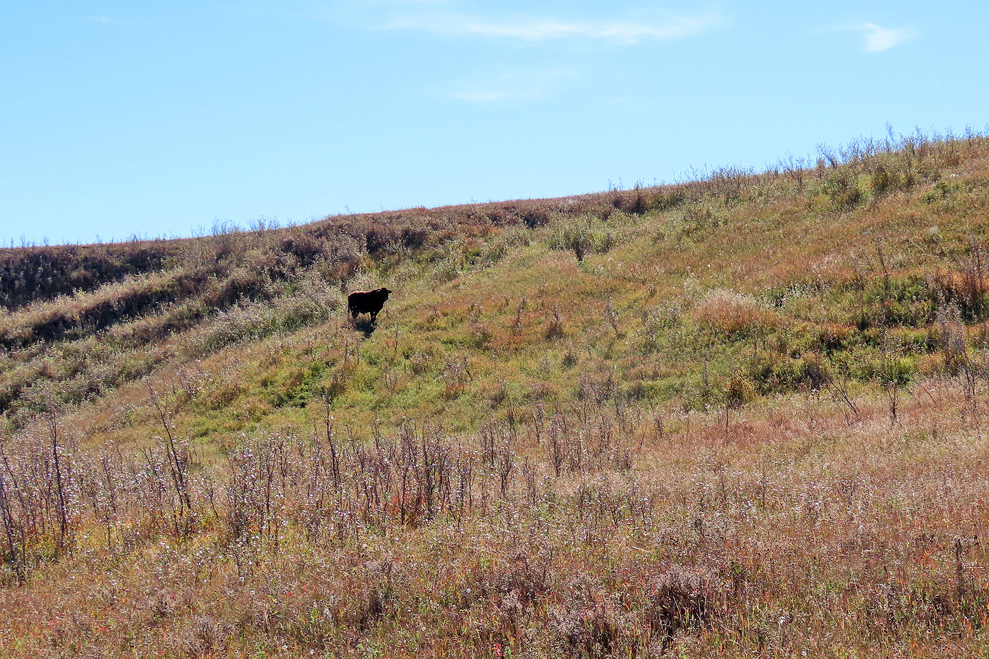
Looking back, the bull stands near the trail (mouse over)
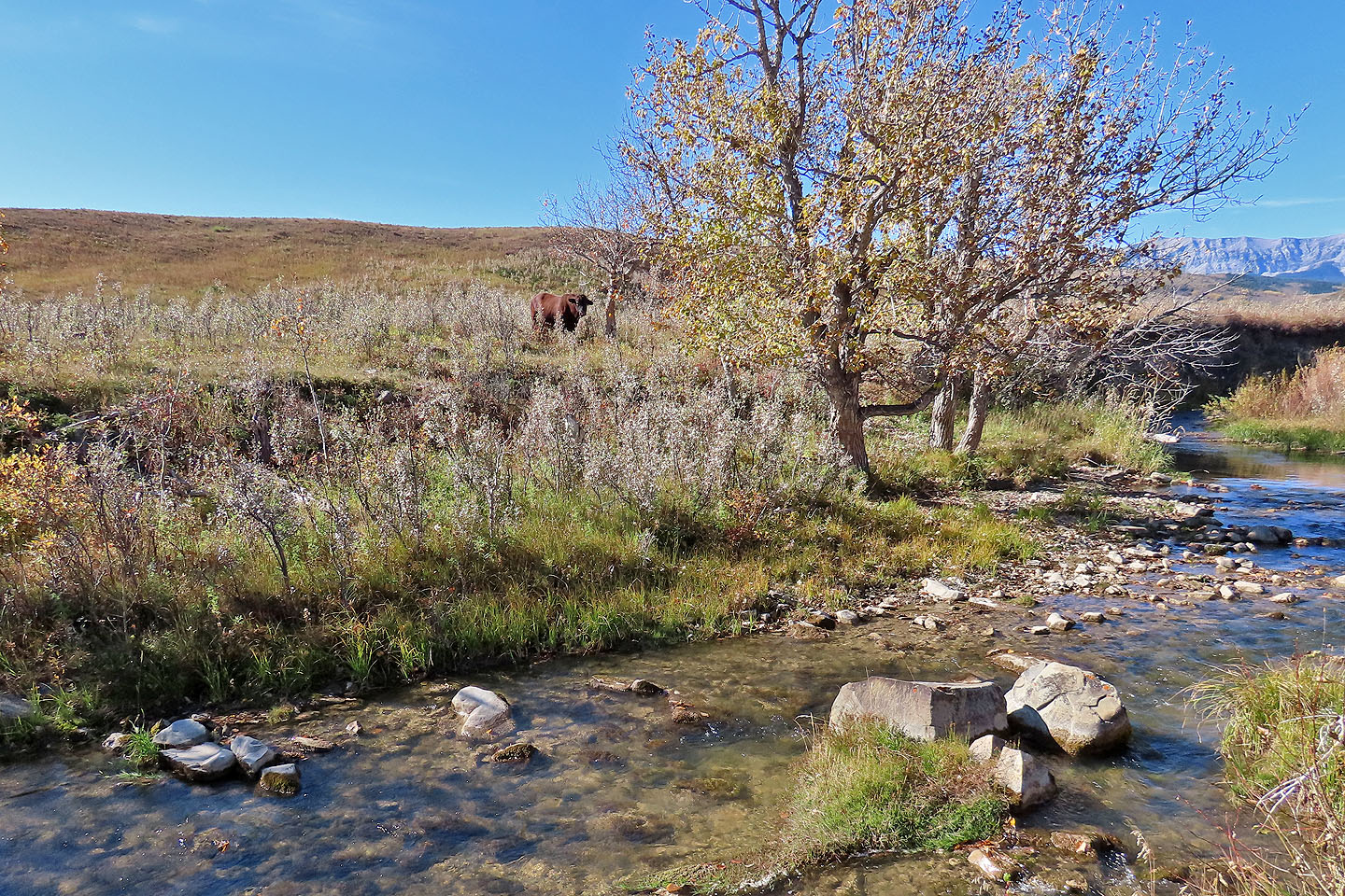
The bull followed me to the creek but didn't cross it
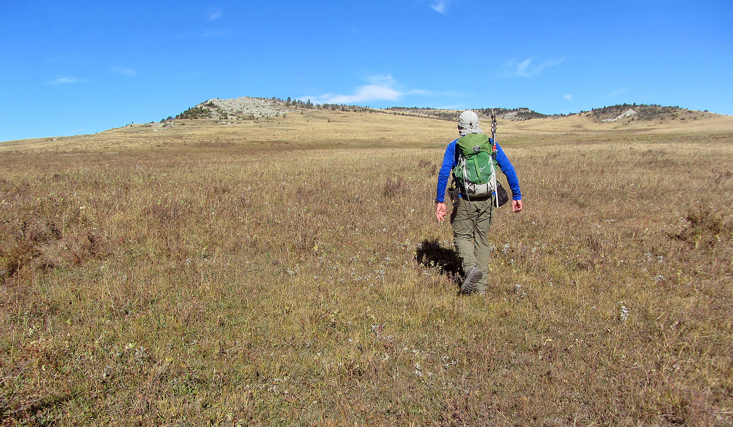
After passing through a gate, I headed to the western ridge
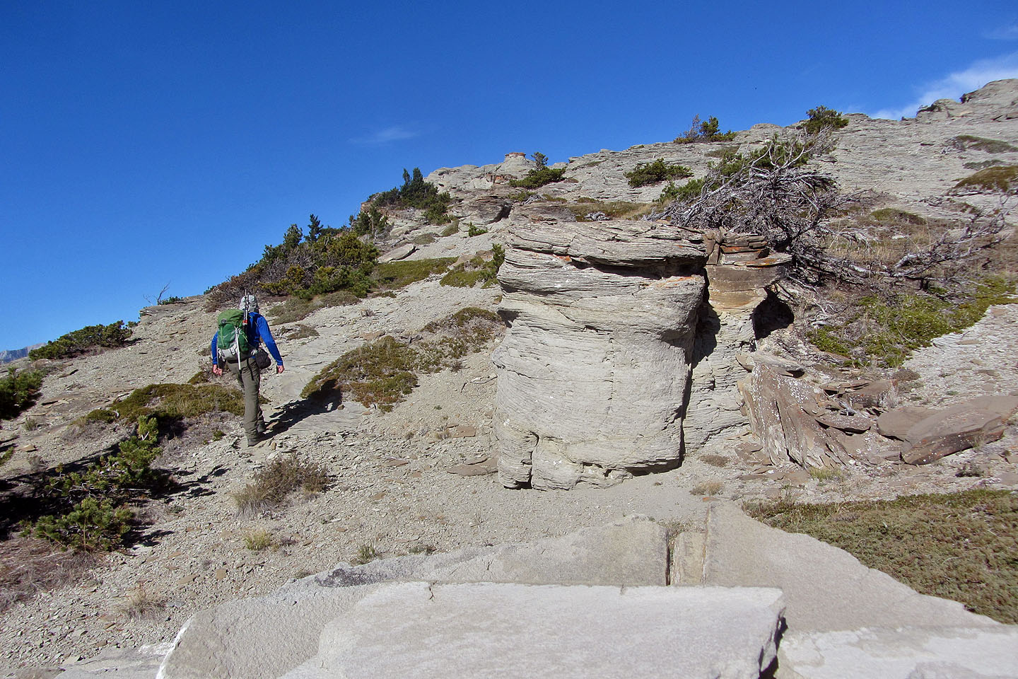
I soon reached the first hoodoos
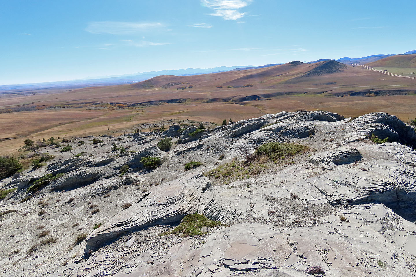 Looking back. Unnecessary Mountain in the background.
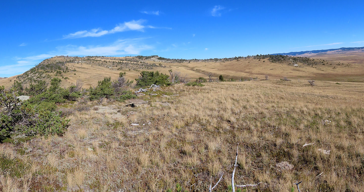
After passing the first hoodoos, the false summit came into view
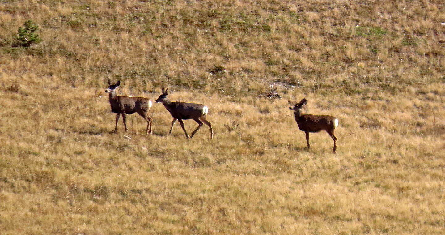
I startled some deer and they fled down the slope
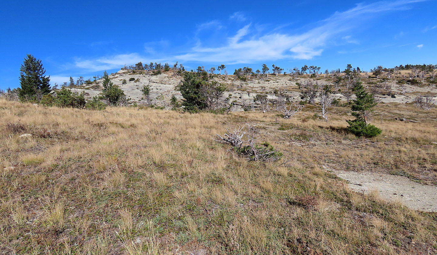
The next hoodoos appeared ahead, on a bluff
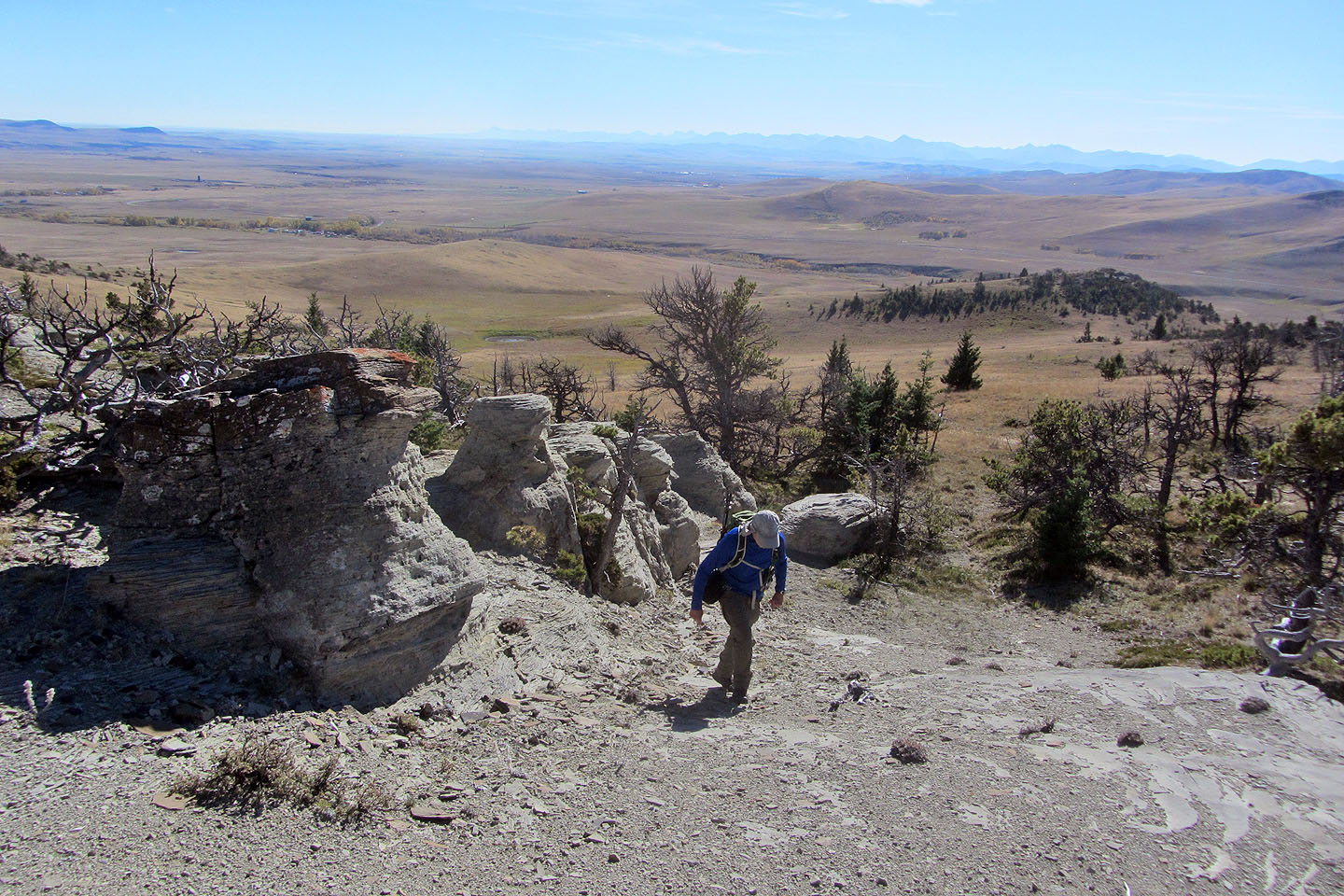
I continued up
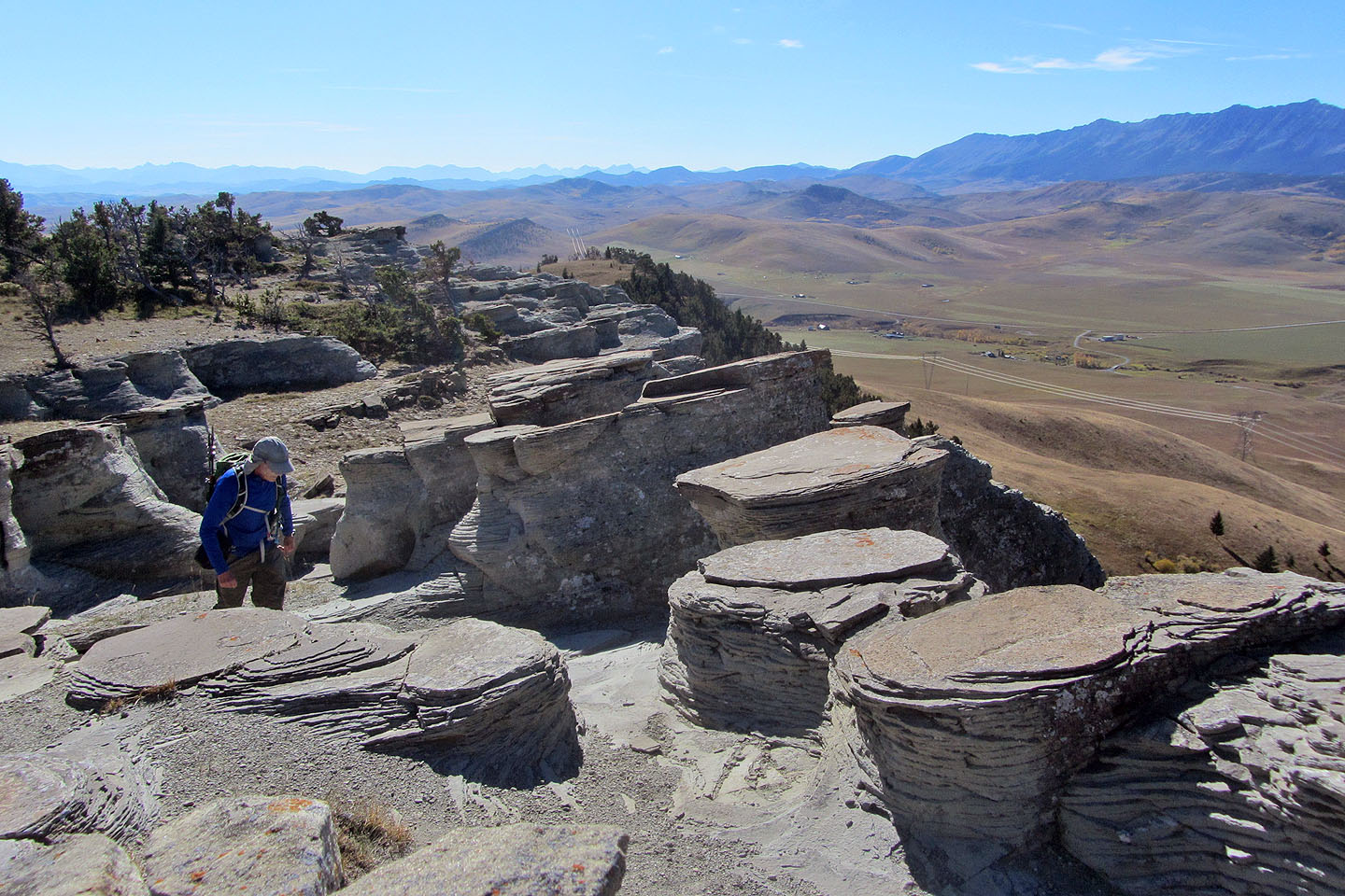
I wandered through the rocks on the bluff

I spent several minutes exploring the hoodoos
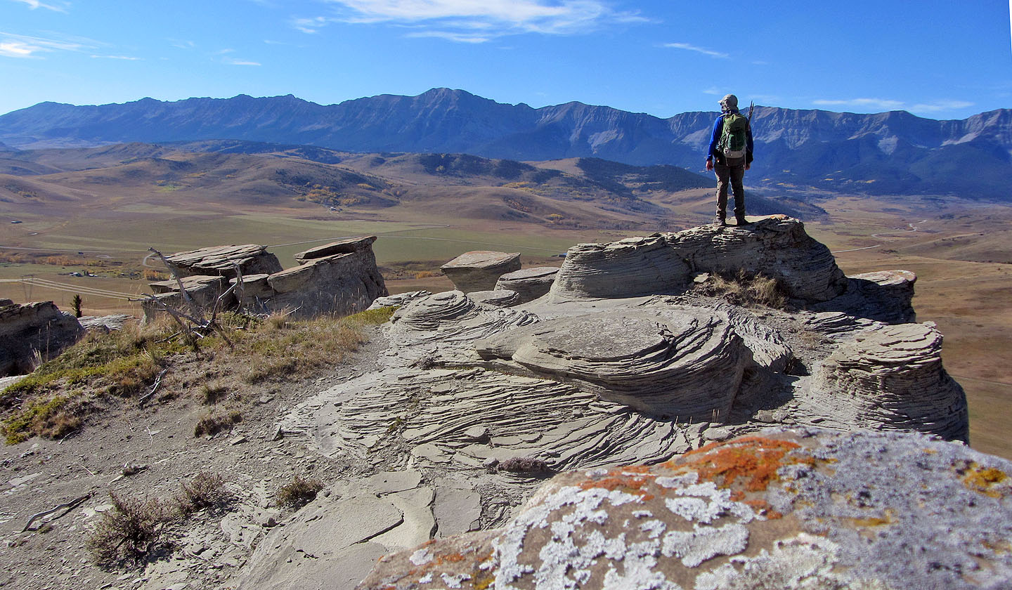
Centre Peak is in the centre
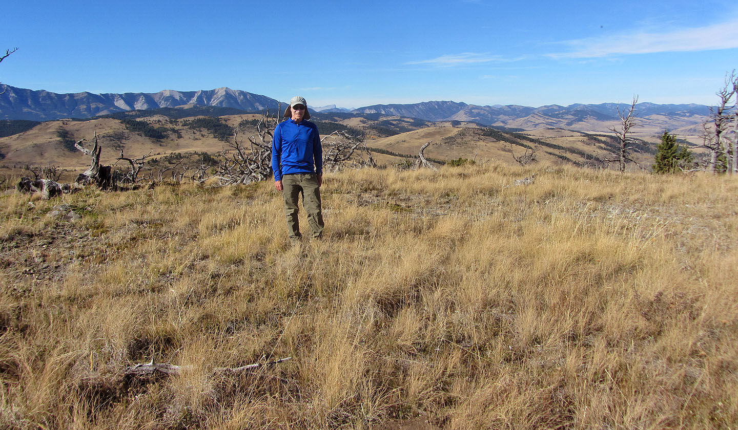
Standing on the broad summit
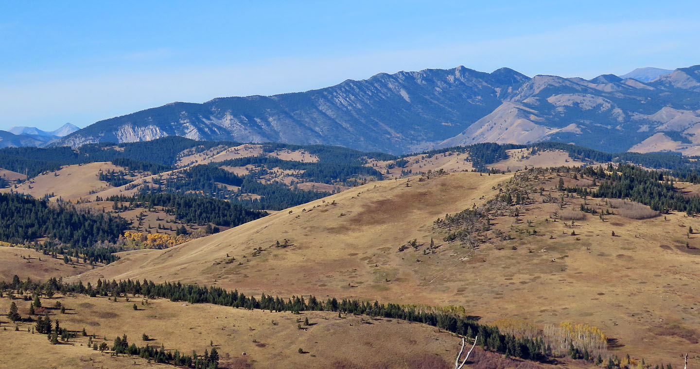
Thrift Peak / Livingstone Lookout
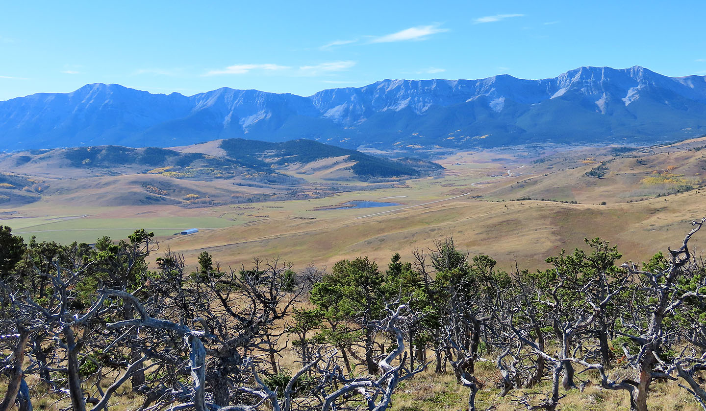
A close look at Centre Peak (left) and Lightning Peak (right)
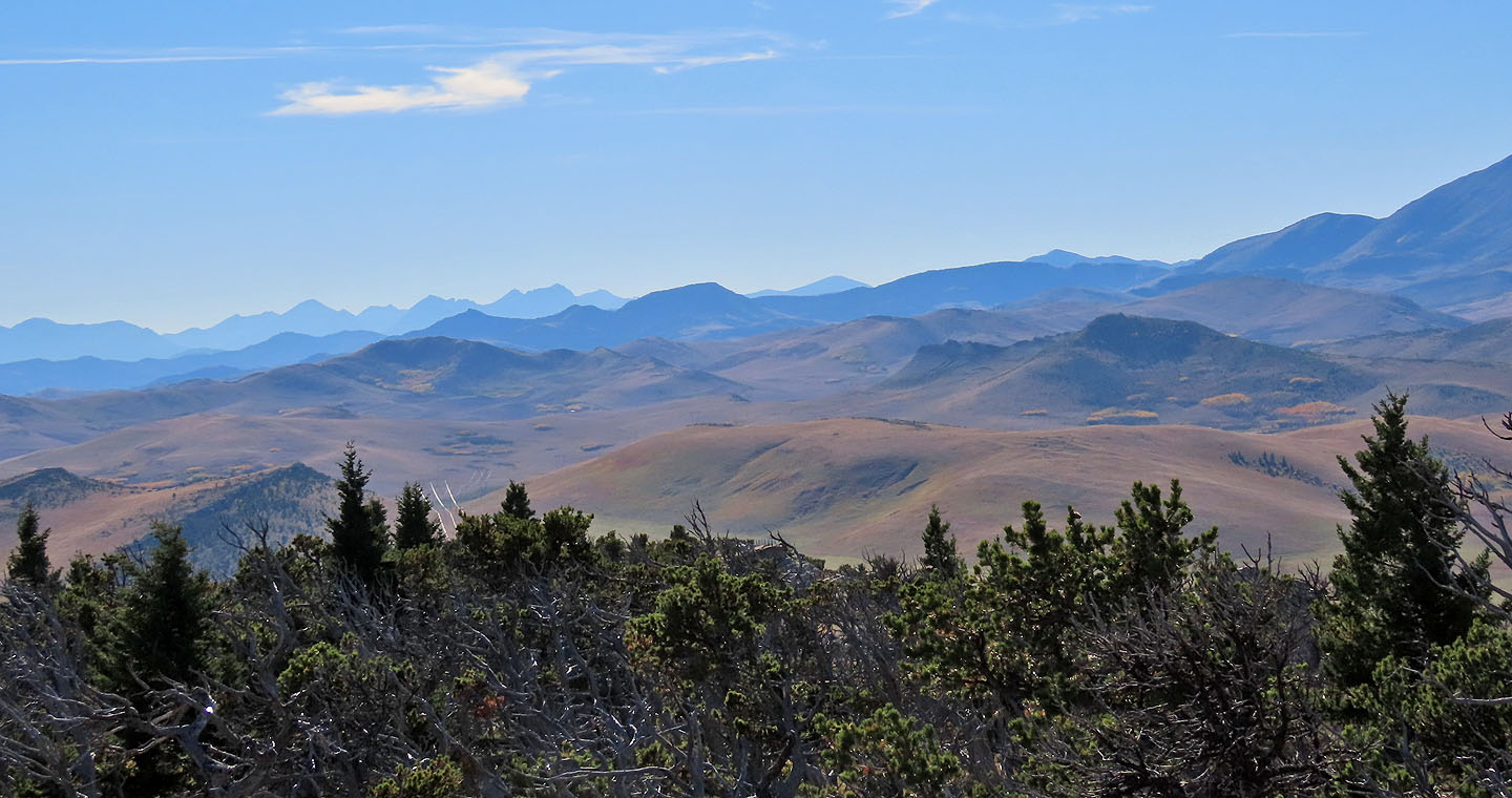
Foothills to the south
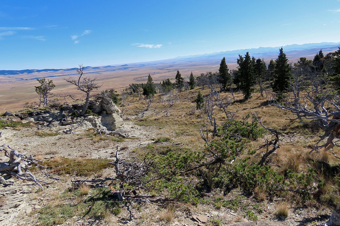
Looking down the eastern ridge
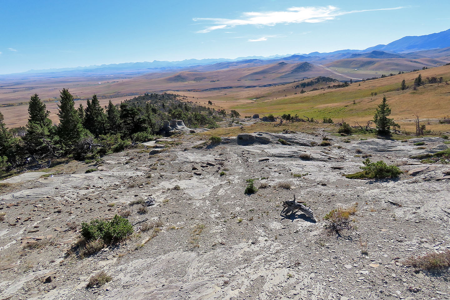
The eastern ridge has fewer hoodoos than the western ridge
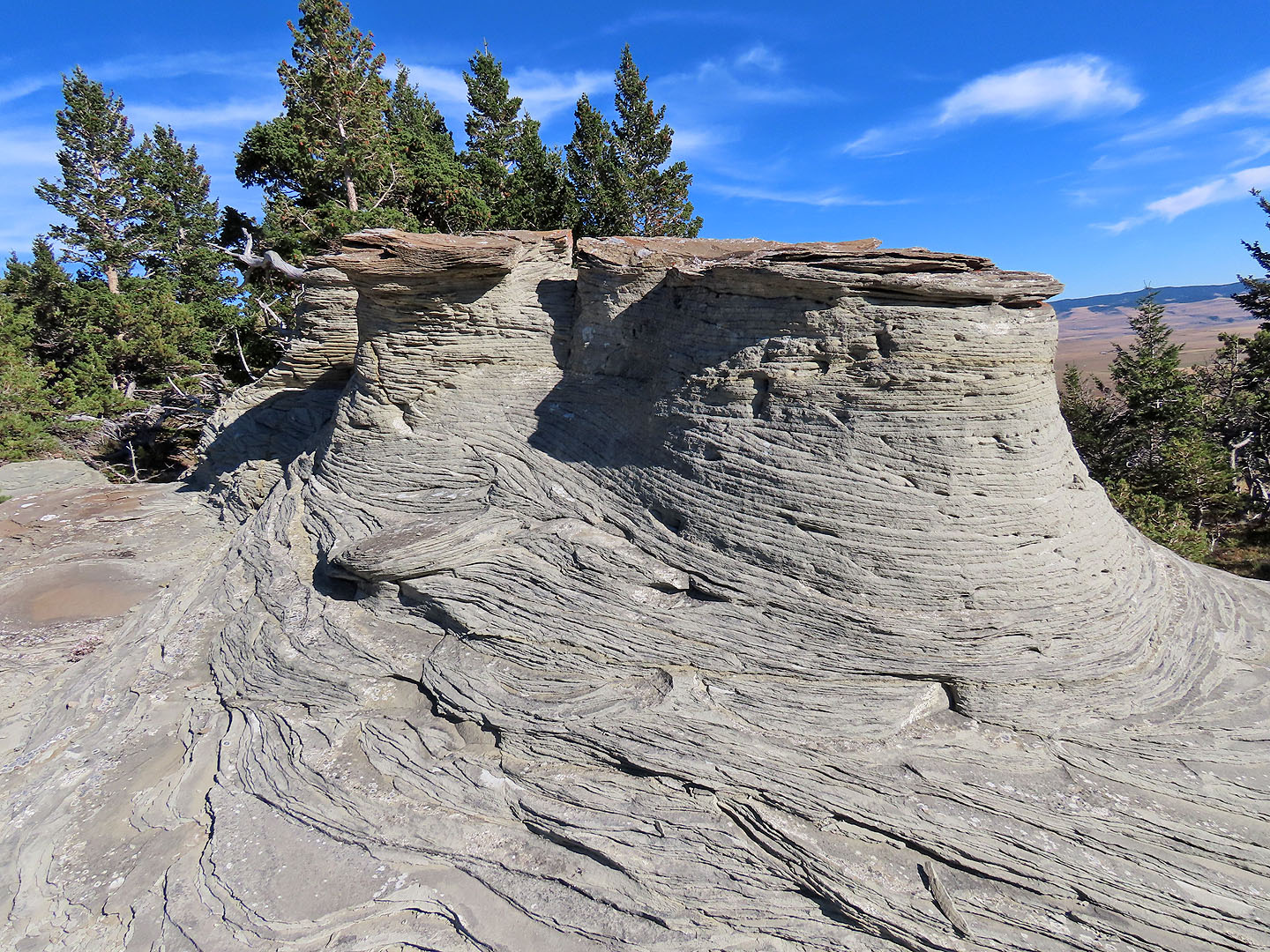
A close look at some hoodoos
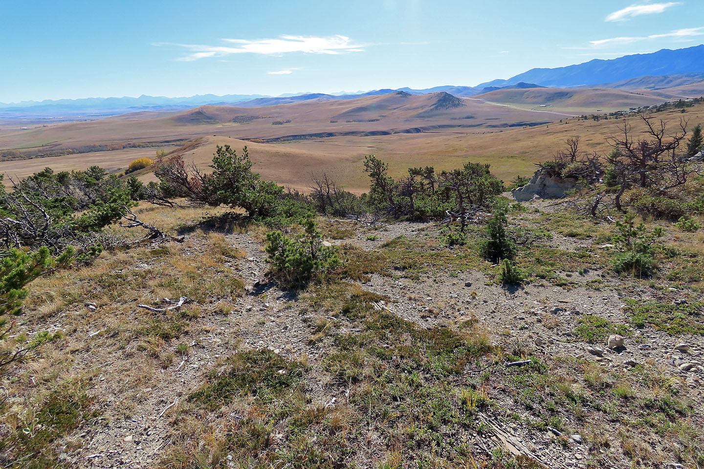
I continued down the ridge
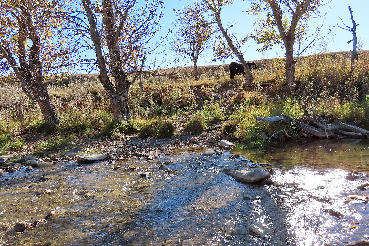
The bull waited for me on the other side of the creek
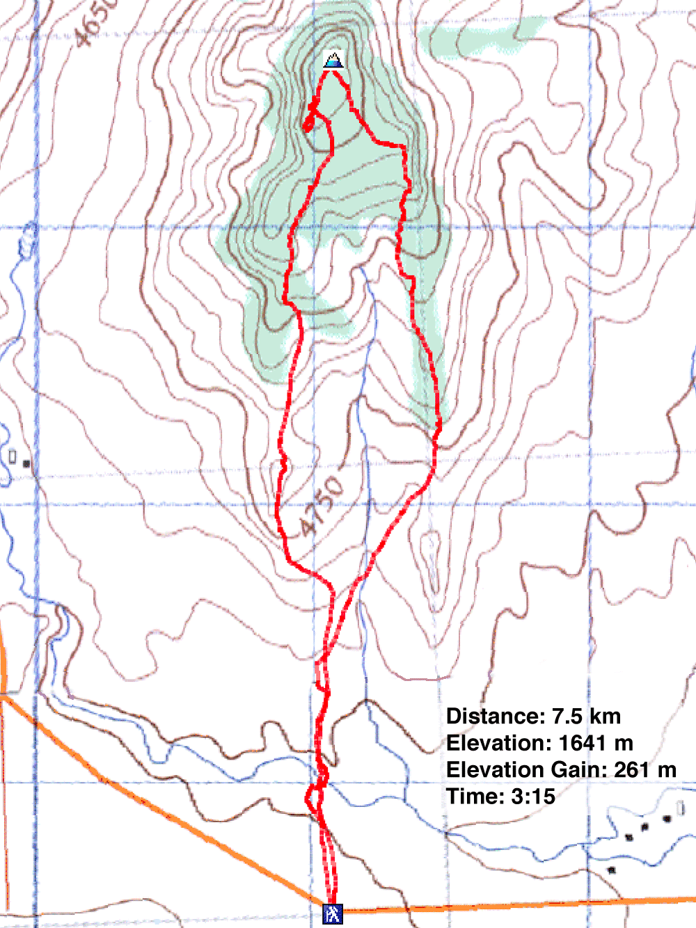
82 G/16 Maycroft and 82 G/9 Blairmore

