bobspirko.ca | Home | Canada Trips | US Trips | Hiking | Snowshoeing | MAP | About
Mount Albert
Beauvais Lake Provincial Park
March 26, 2016
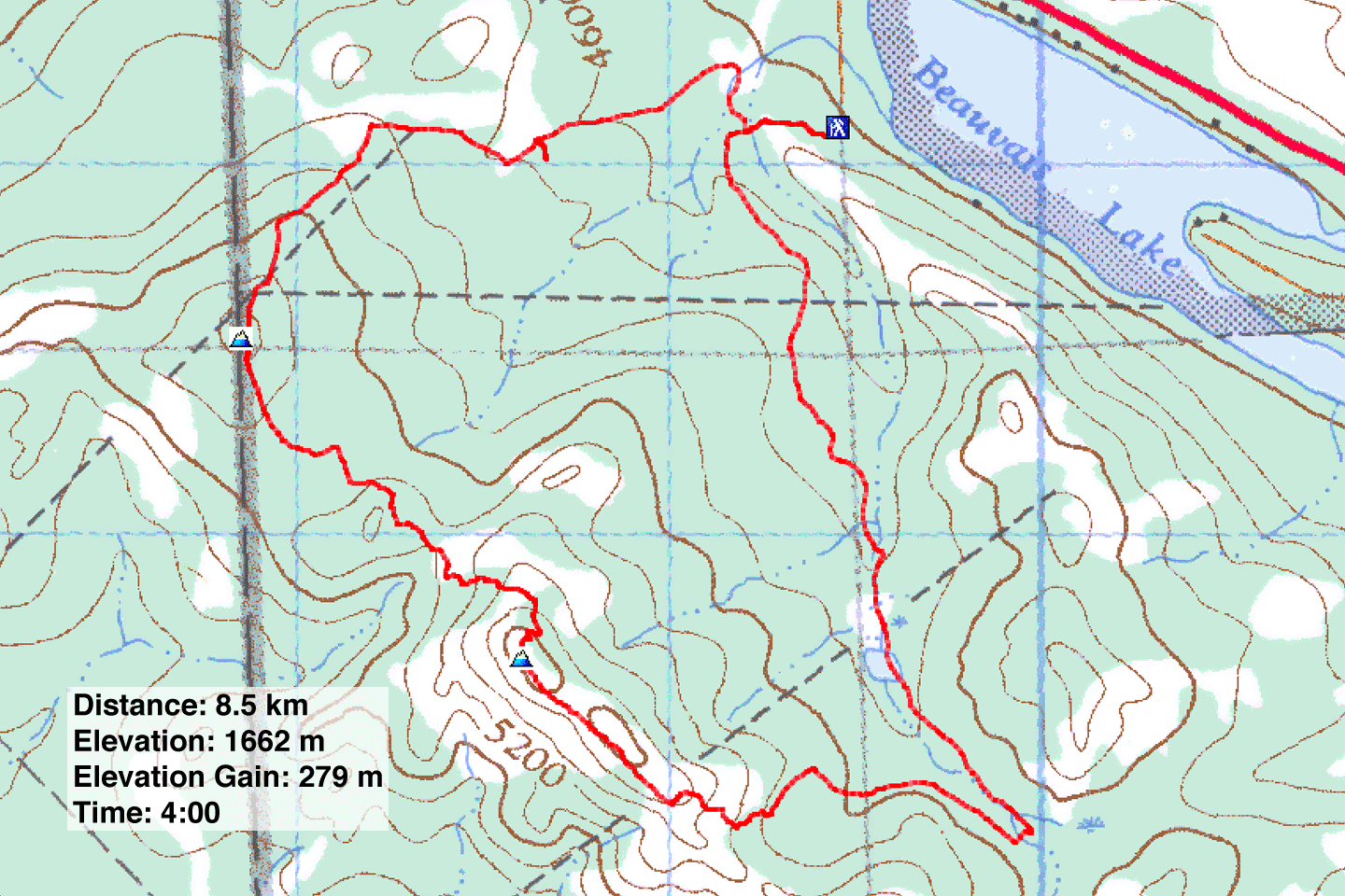
Distance: 8.5 km (5.3 mi)
Cumulative Elevation Gain: 402 m (1319 ft)
Mount Albert is a minor mountain that I had first considered doing as a snowshoe loop. But when the 2015-16 winter season came and went without appreciable snowfall in the front range, Dinah and I never tried it. But that didn’t stop Dave McMurray who snowshoed it in January. Until Dave did it, I didn’t even know Mount Albert had a trail. We decided to hike his route except for climbing a hillock called Piney Point. To help guide us, we downloaded a park map.
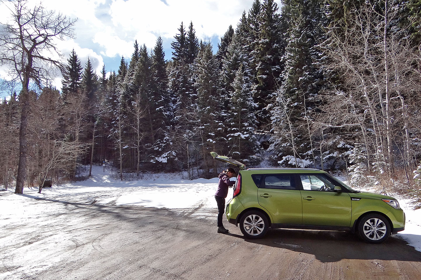
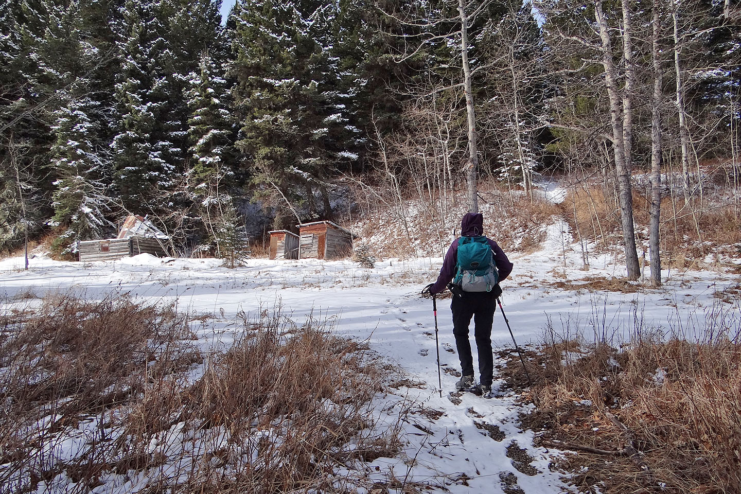
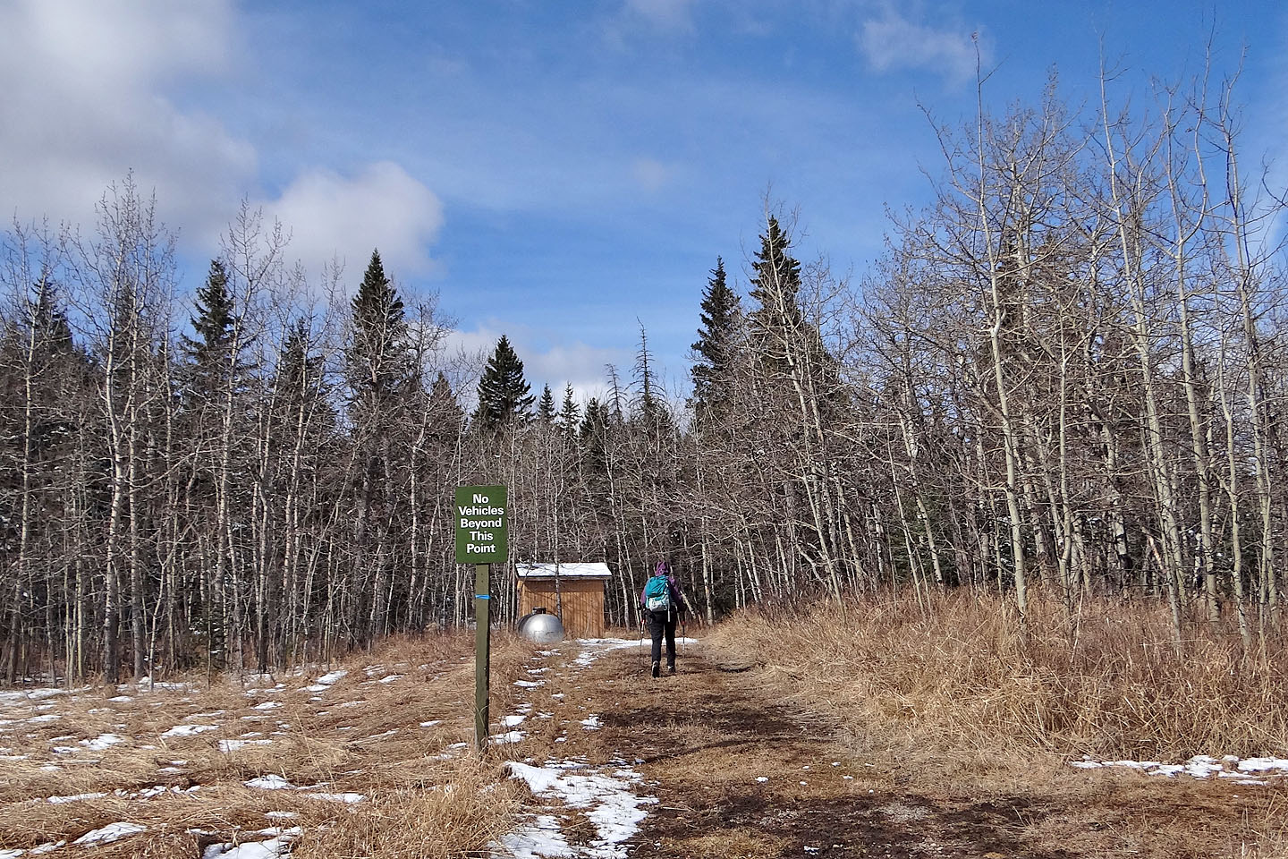
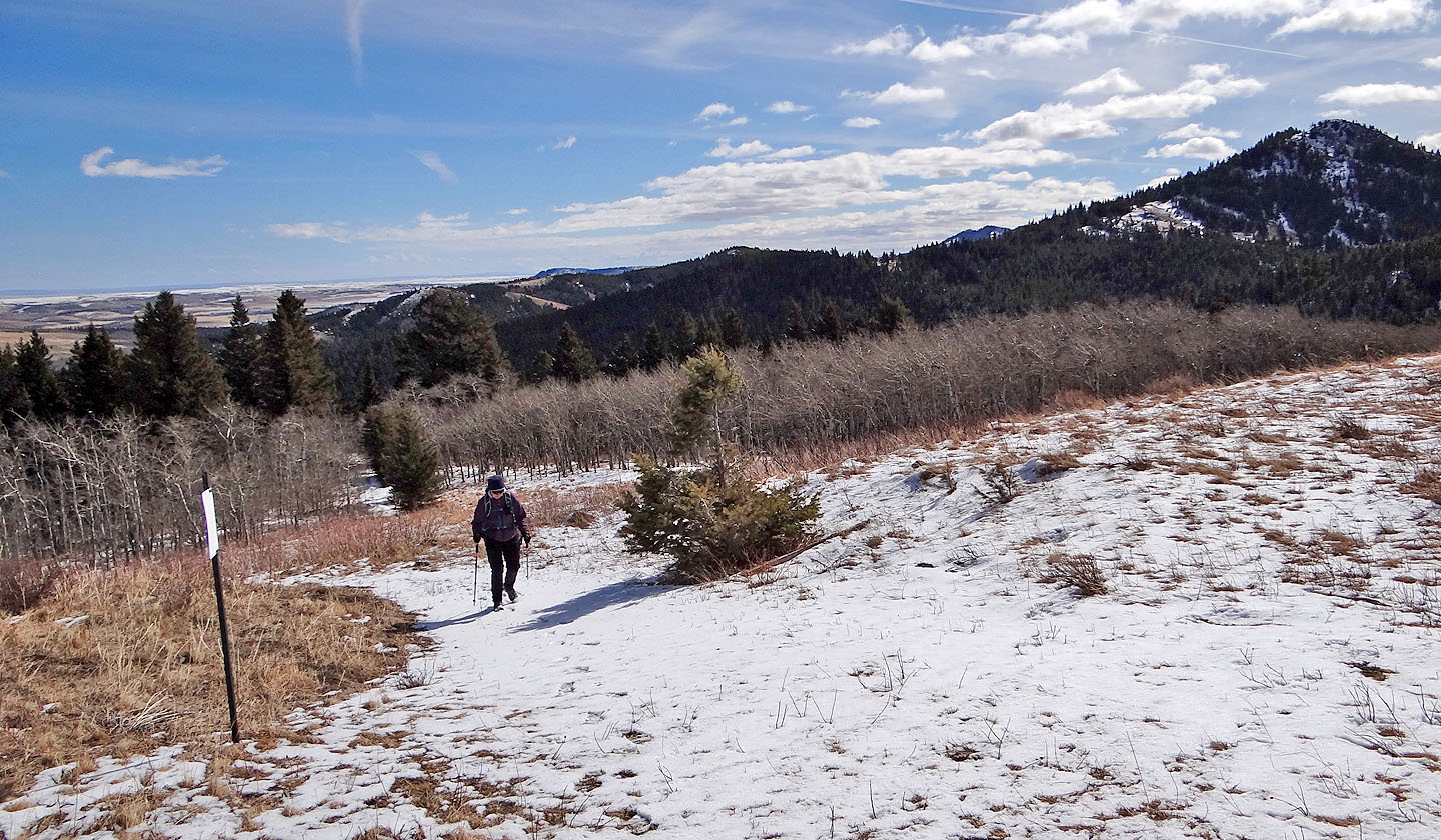
Starting at the parking lot at the end of the road on the south shore of Beauvais Lake, we hiked a counterclockwise loop. We first walked 300 m up the trail before turning right to reach the group-use parking lot (we would have parked here except it was closed). In the corner of the parking lot, we picked up the broad trail we wanted. Soon after taking a right fork, we passed a log cabin in a clearing, the upper Smith homestead. Continuing, we took a couple of turns and then entered the woods. A gentle climb brought us to the top of Mt. Baldy, a minor point northwest of Mt. Albert. We shared the grassy summit with a radio tower and its facilities.
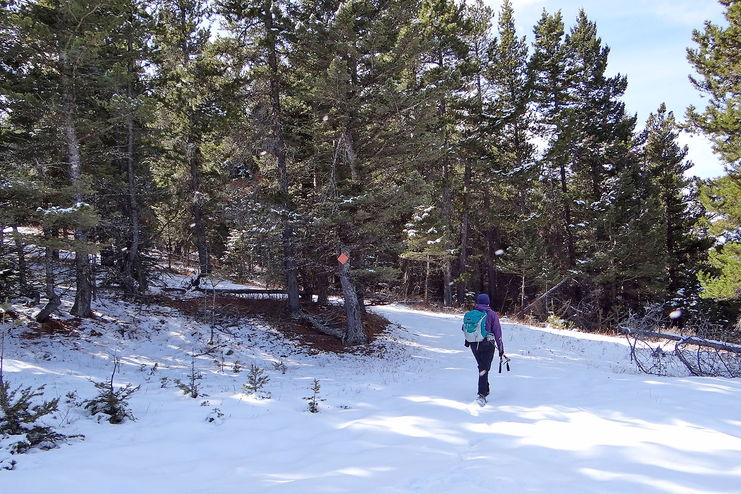
We continued to Mt. Albert on a narrow trail that plunged back into the trees. The path was vague at times, but orange, diamond-shaped markers nailed to trees kept us on track. The last pitch was steep and snowy, and a strong wind greeted us on top of Mount Albert. A few minutes later, we were ready to escape the wind. Keeping an eye out for orange diamonds, we followed a ridge trail until it dropped down the left side. Both trail and markers disappeared, but the semi-open slope was an obvious way to reach the valley below. We picked up another diamond-studded trail that took us back to our car.
We hadn’t been to Castle Wilderness for some time, so we found Mount Albert was a nice change in scenery. If the area ever sees a decent snowfall perhaps we’ll return some winter to snowshoe it.
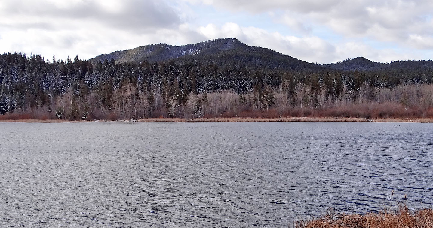
Mount Albert seen from across Beauvais Lake
The trailhead is on the right at the end of the parking lot
After walking up the trail for 300 m we came to our first junction where we turned right. The lower Smith
homestead is left. We came down the trail ahead on our return leg.
After crossing the group-use parking lot, we picked up the trail to Mt. Albert
We kept right at the next fork
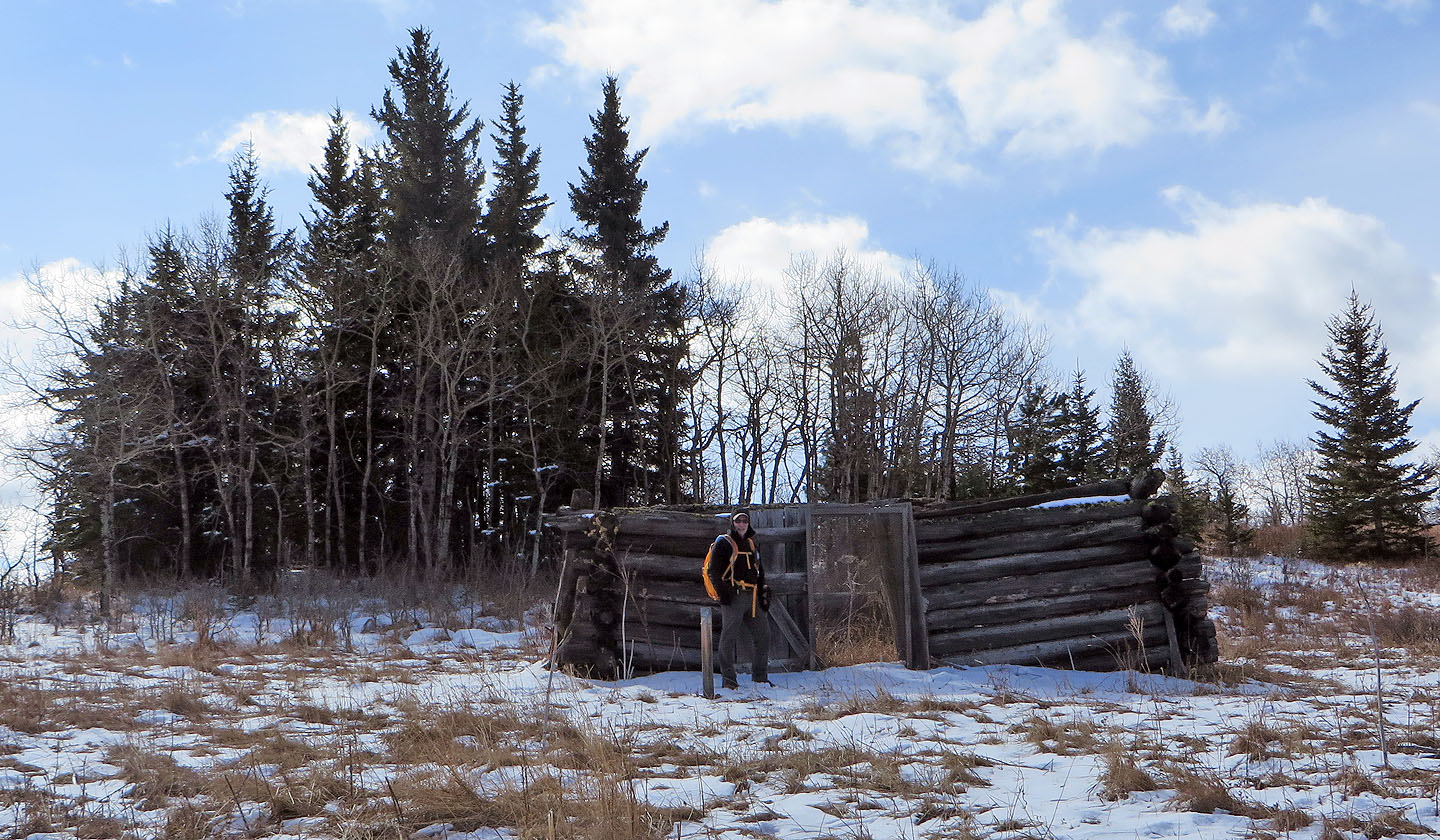
In a clearing, we stopped for a closer look at the upper Smith homestead (mouse over to see inside)
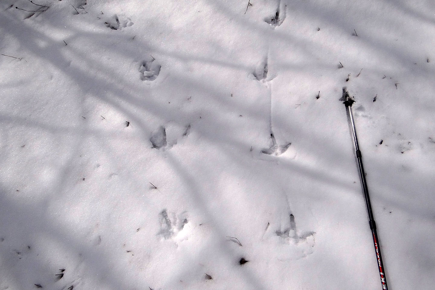
We came across lots of wild turkey tracks and even heard one gobble but never caught sight of one
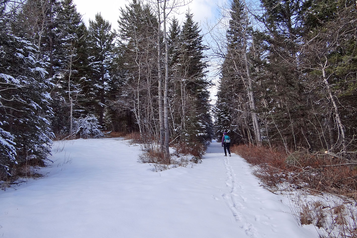
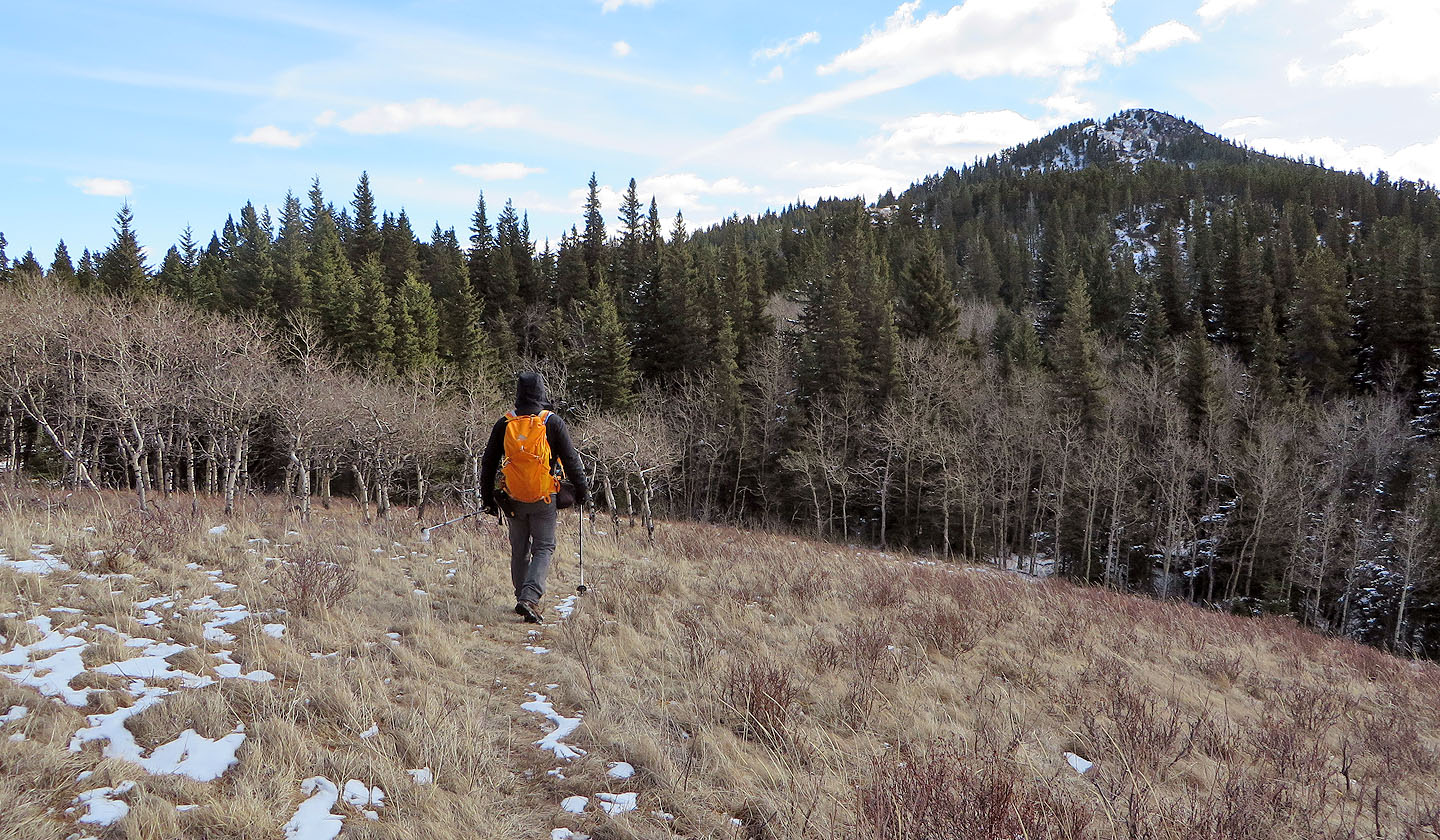
The trail remained broad and easy to follow
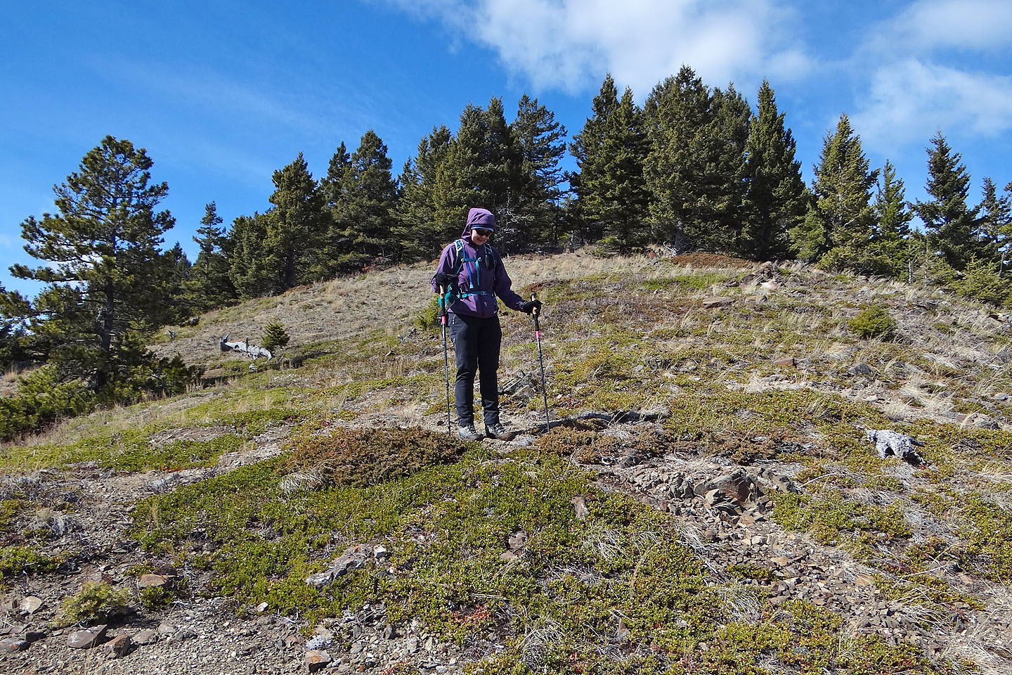
Dinah joins me on Mount Baldy
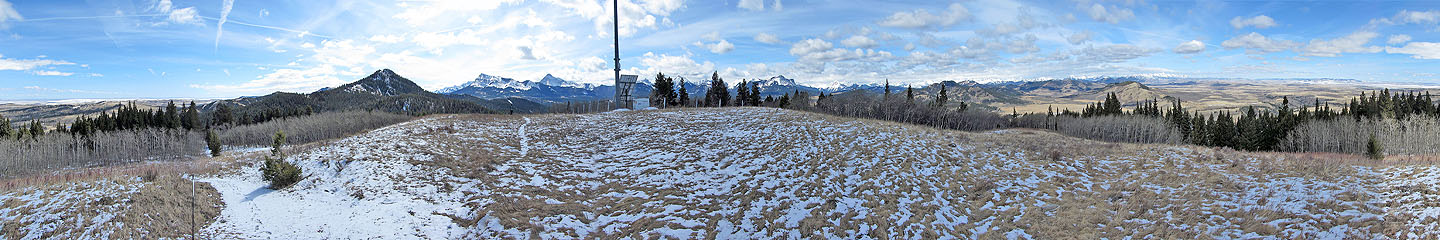
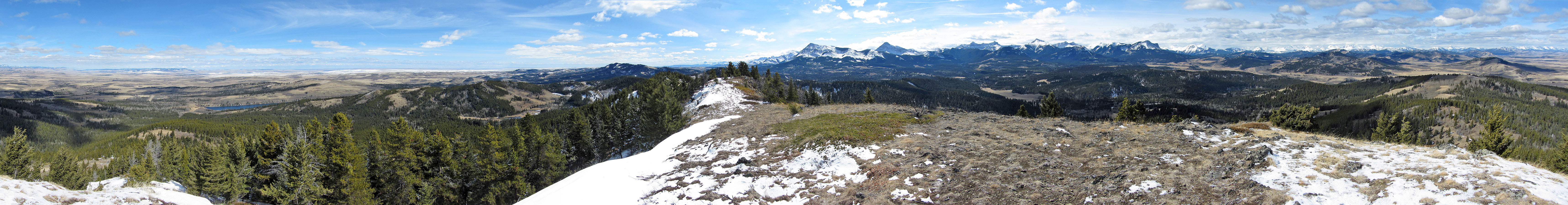
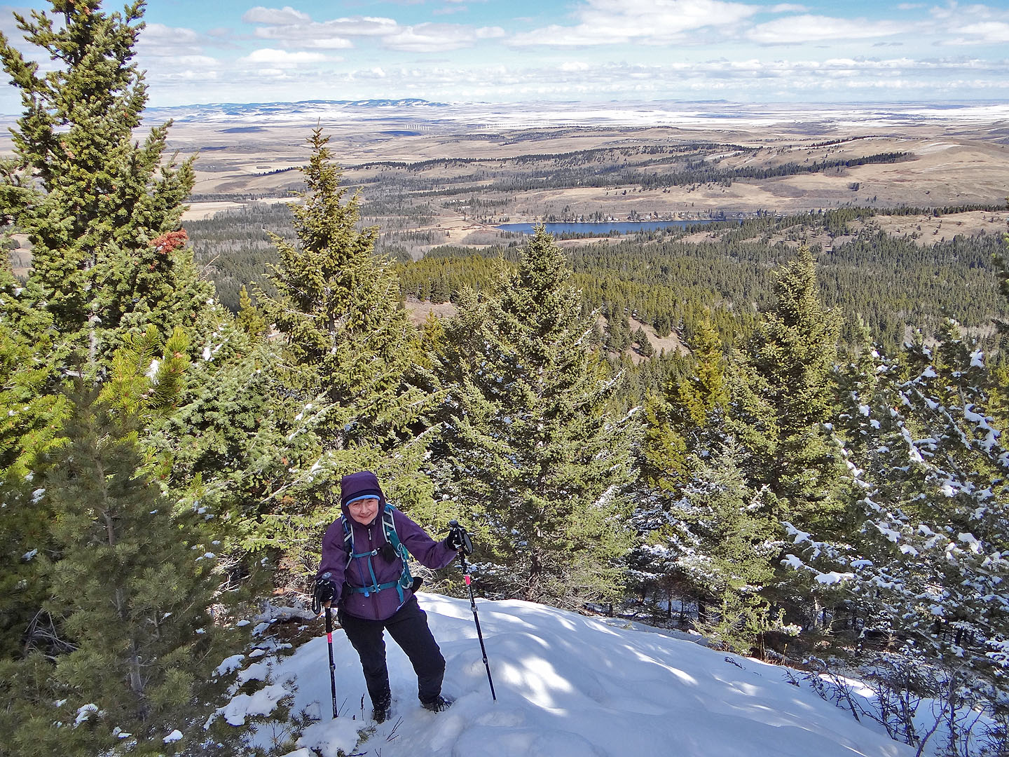
View from Mount Baldy
From Baldy we set off down a faint path to Mt. Albert
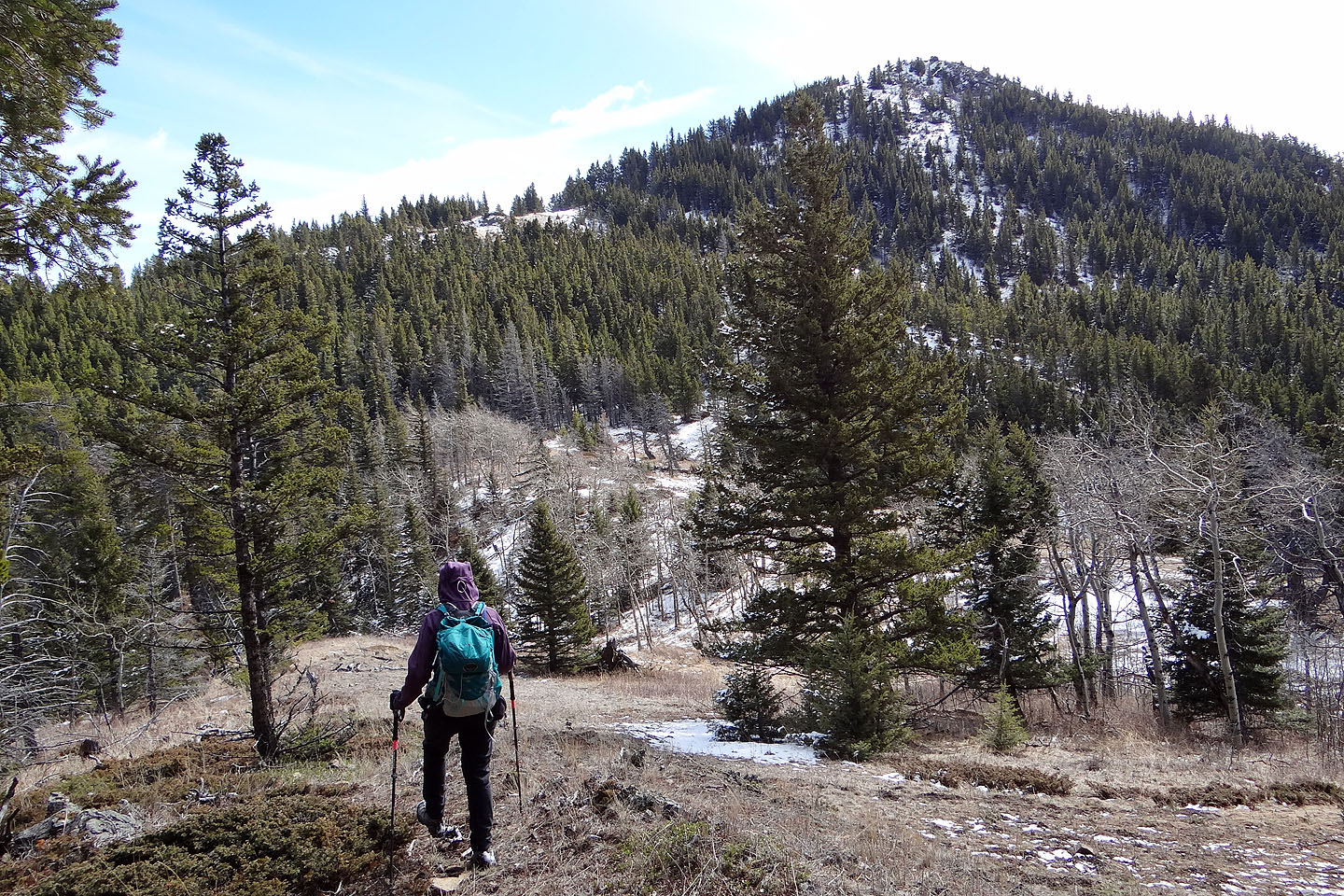
Most of the traverse to Albert was in trees
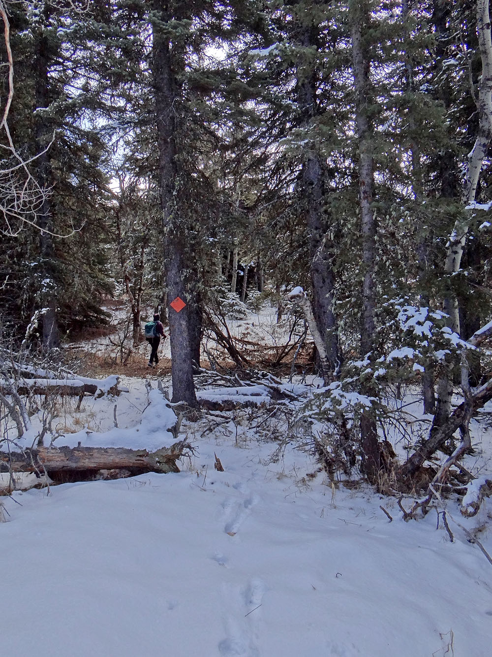
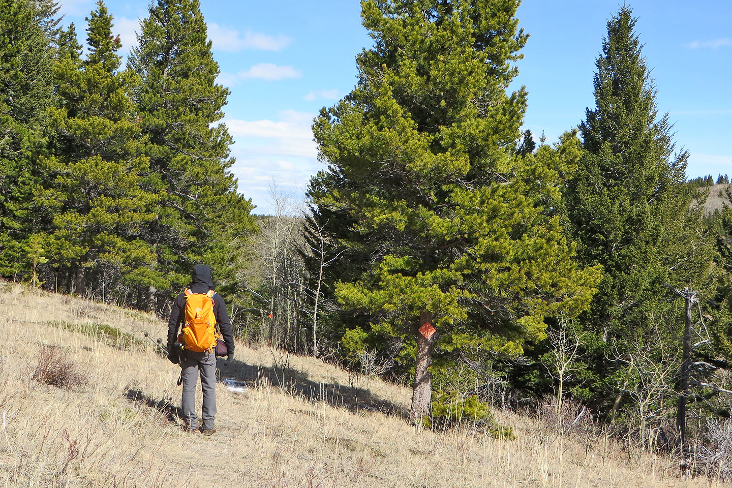
Orange markers kept us on track when we lost the trail
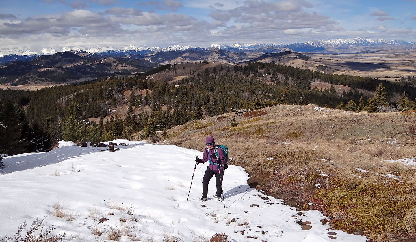
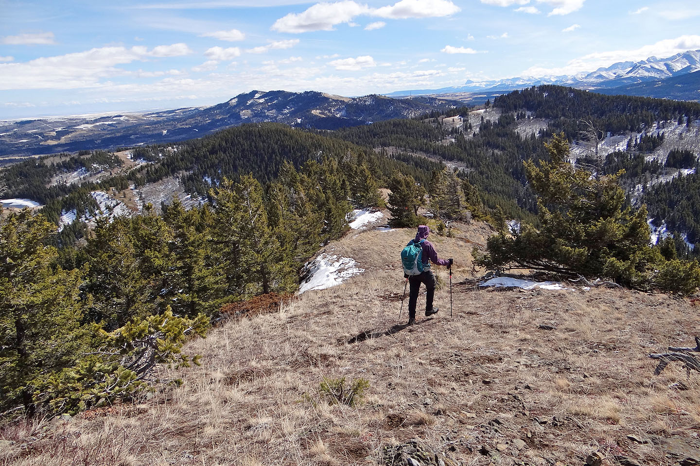
The trail leads to the open section of ridge above Dinah
Looking back we could just make out the tower on Mt. Baldy above Dinah
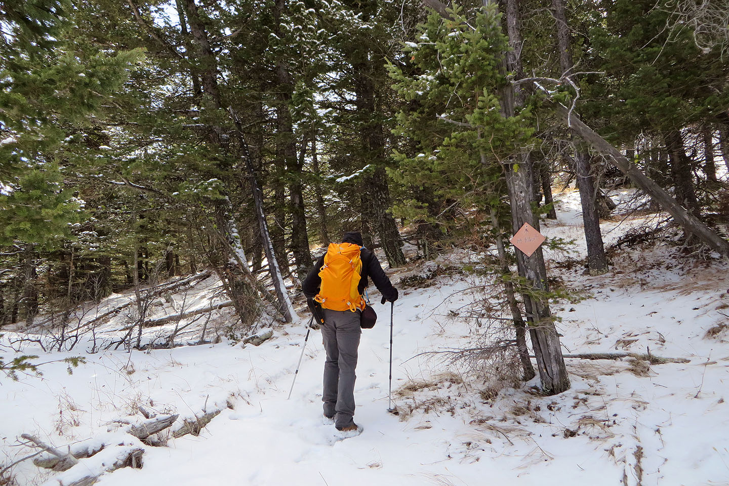
A sign points to Mt. Albert
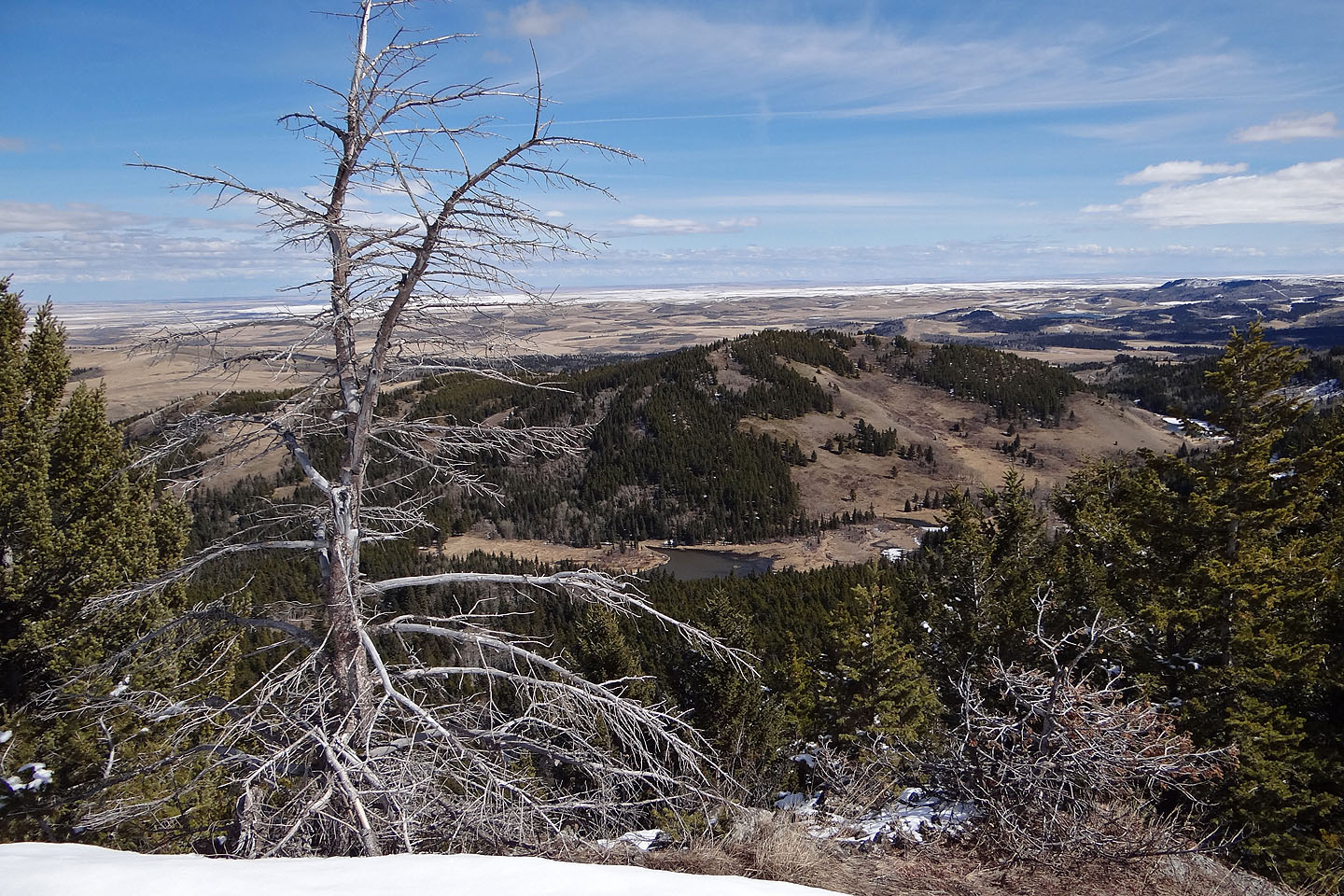
Just below the summit, Beauvais Lake comes into view
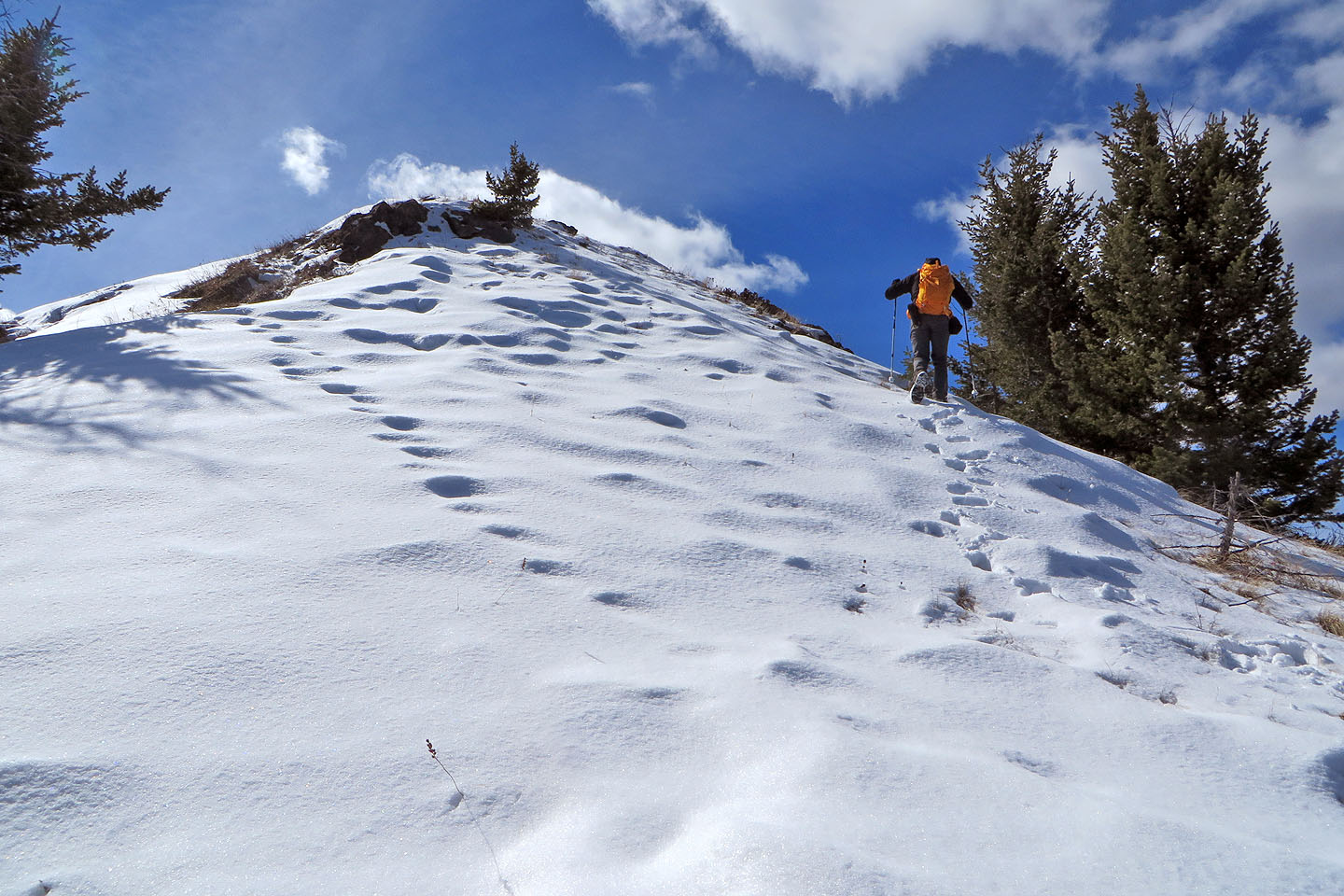
Taking our last steps to the summit
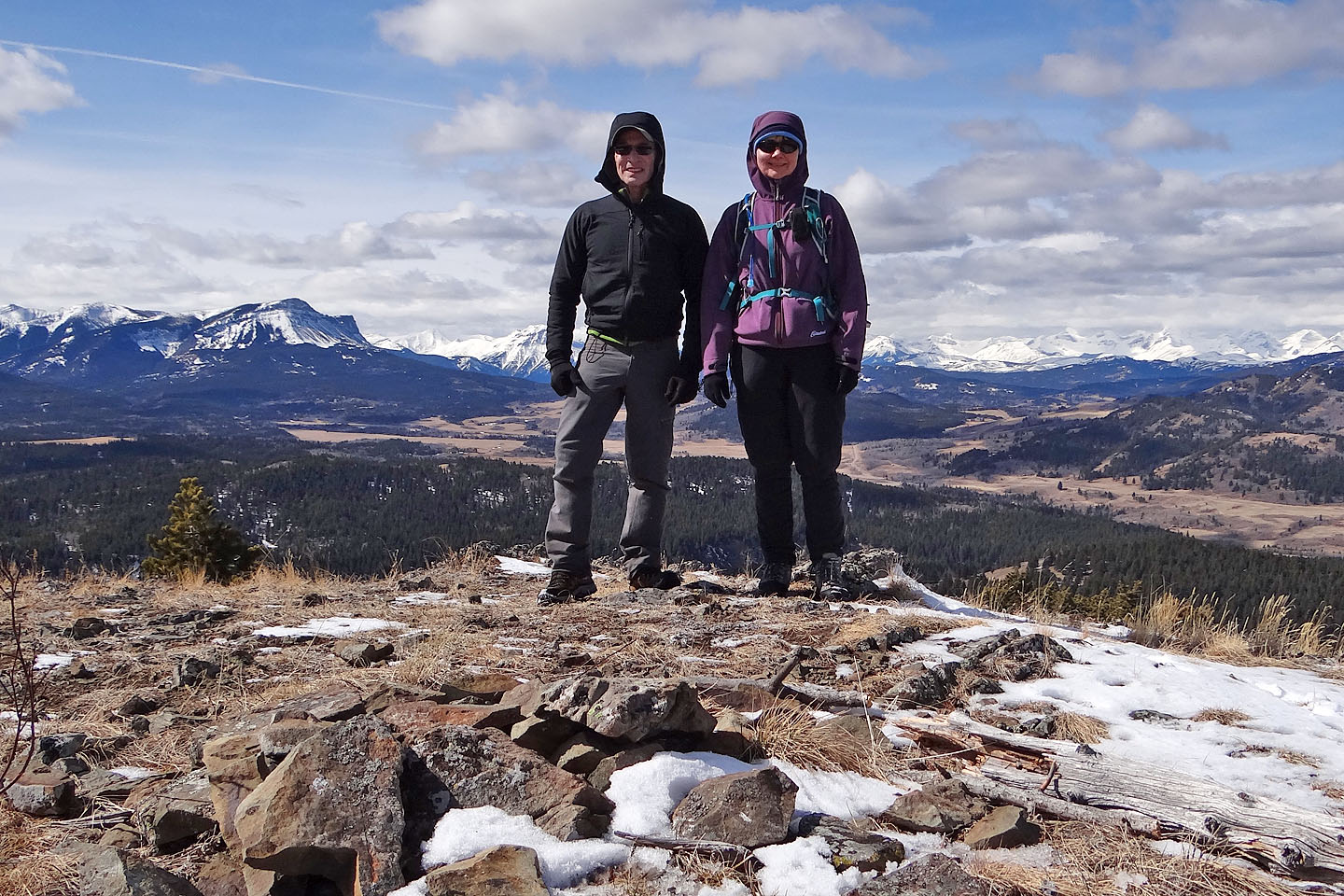
Dinah and me on top of Mt. Albert
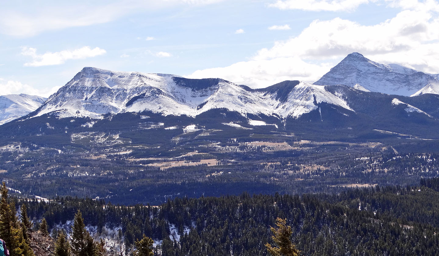
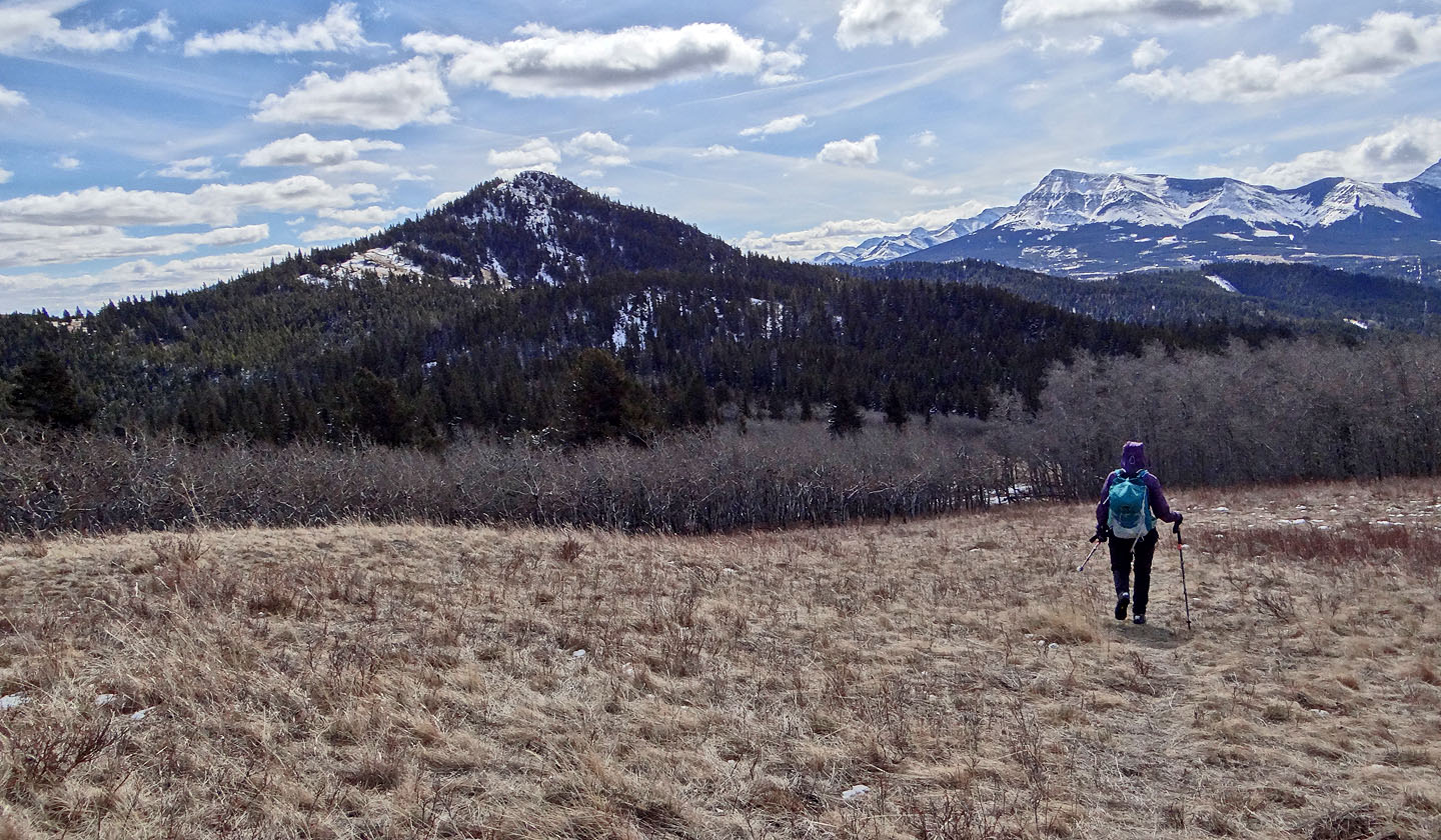
Prairie Bluff and Victoria Peak
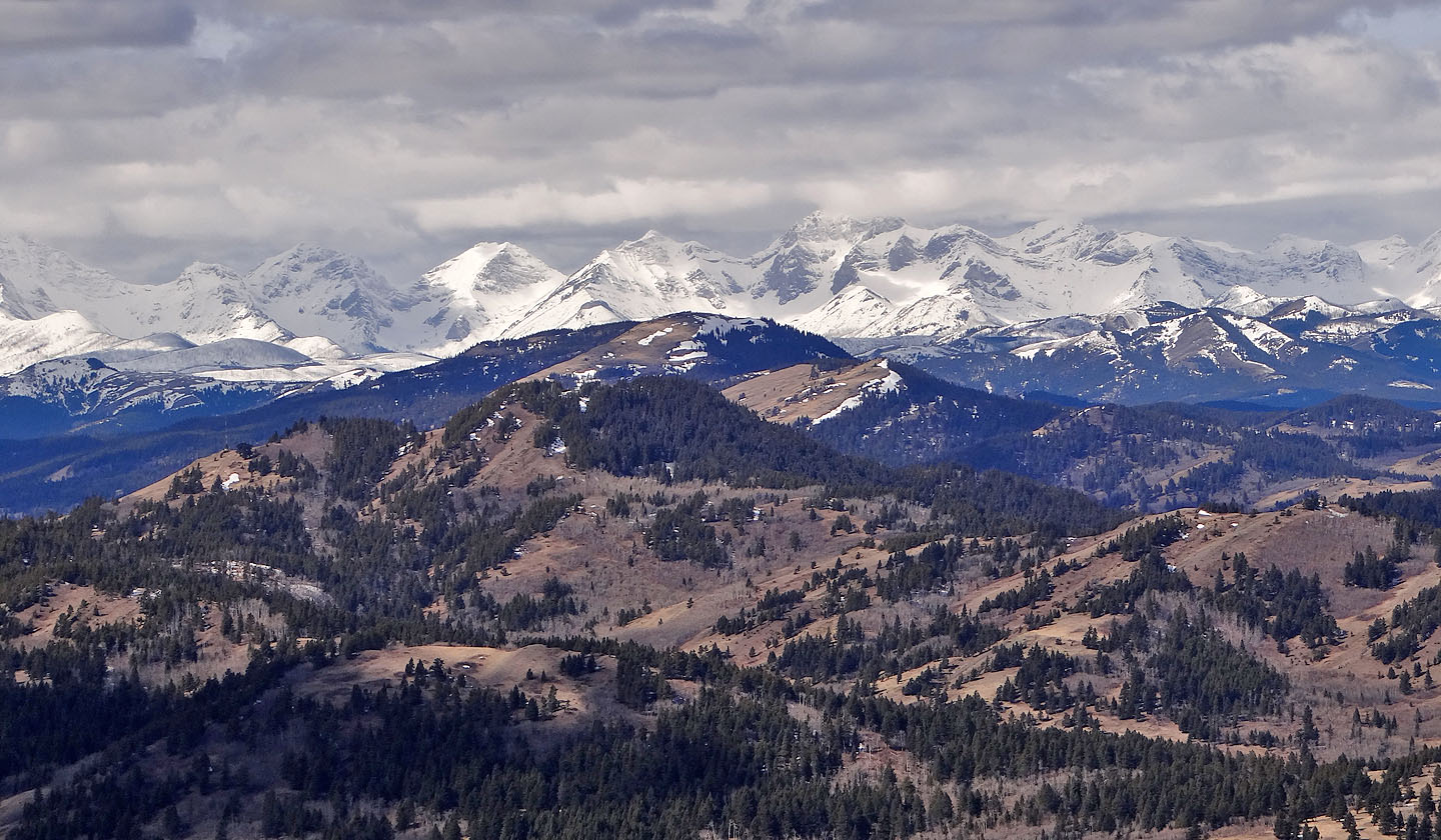
The back range was full of snow but Mount Backus (foreground) was almost dry
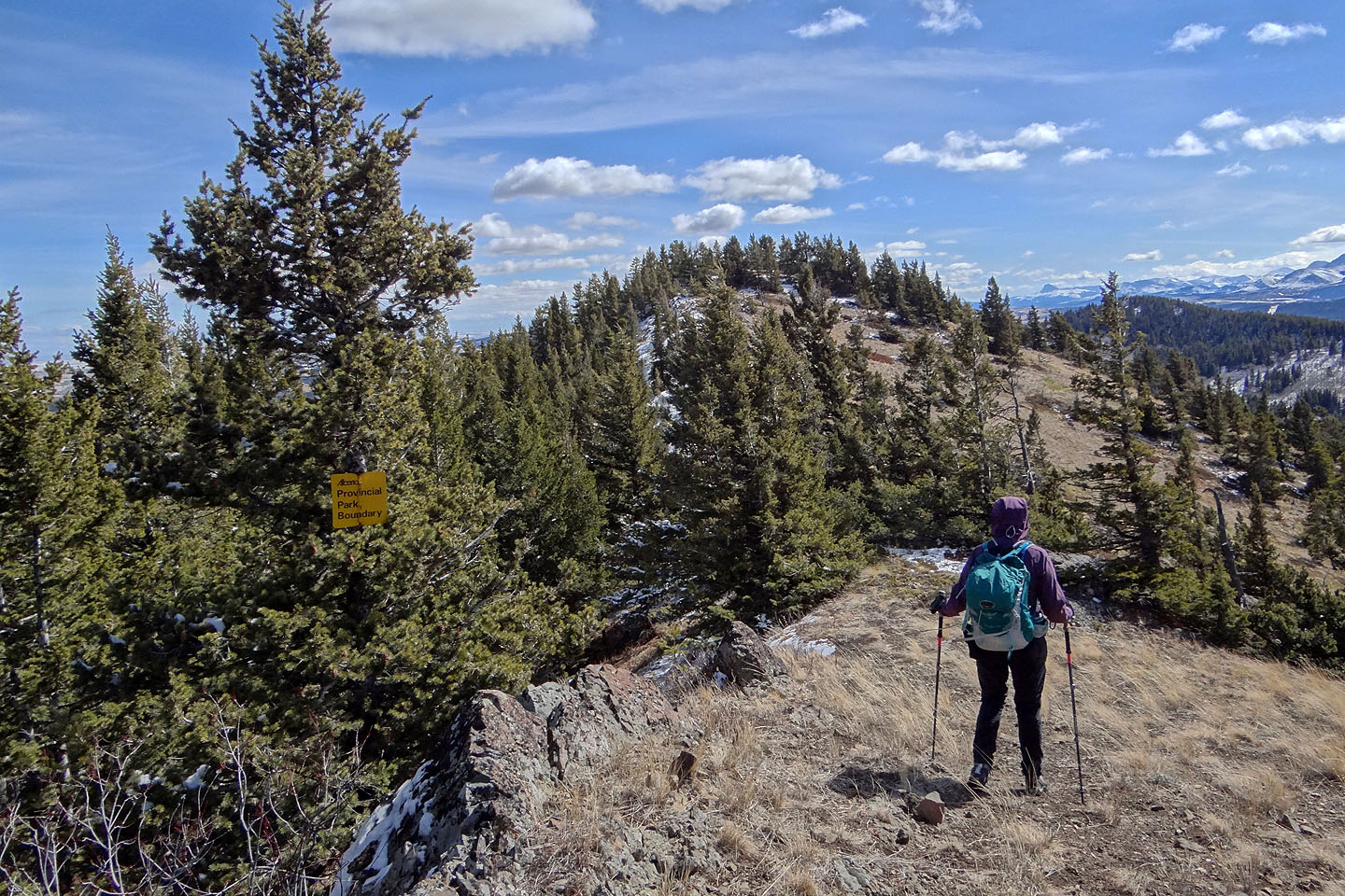
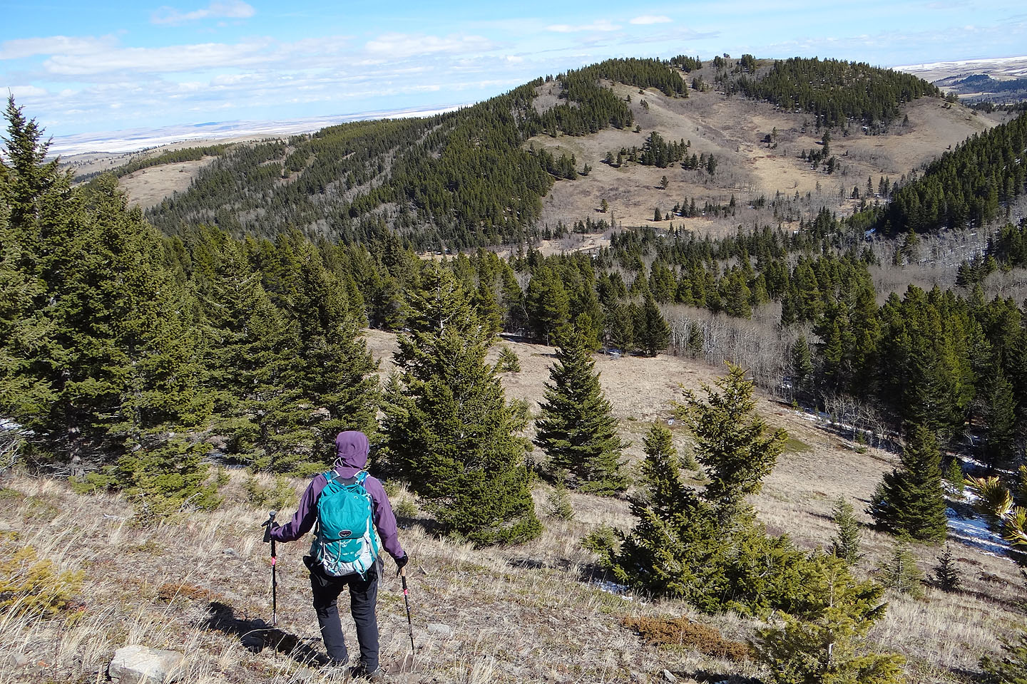
After the summit, we continued south along the ridge
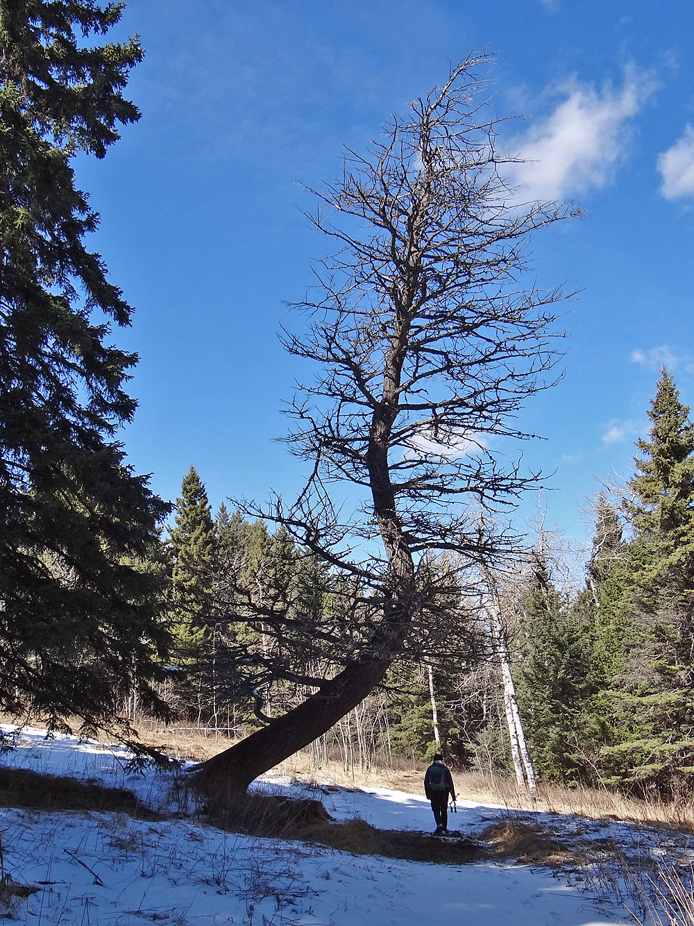
Piney Point overlooks a pond
We stayed on the ridge until the trail dropped down on our left
We soon ran out of trail and trail markers, but the semi-open ridge appeared to be an obvious route
We headed to the valley below where we picked up another signed trail
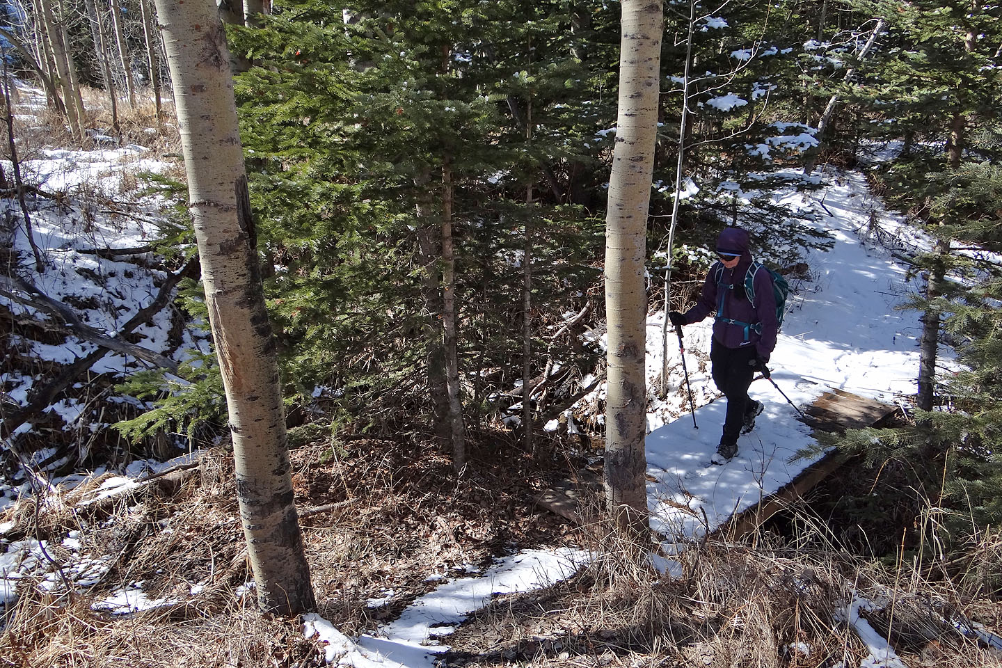
Back on the trail
The trail makes a long loop just to cross this tiny footbridge, but it's here that one can pick a trail that
goes over Piney Point
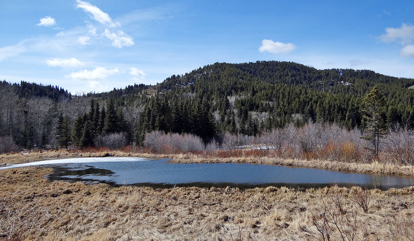
The trail passes a pond below Mt. Albert
We followed the trail through the trees back to our car
82 G/8 Beaver Mines