bobspirko.ca | Home | Canada Trips | US Trips | Hiking | Snowshoeing | MAP | About
North Bragg Loop
Kananaskis, Alberta
September 19, 2021
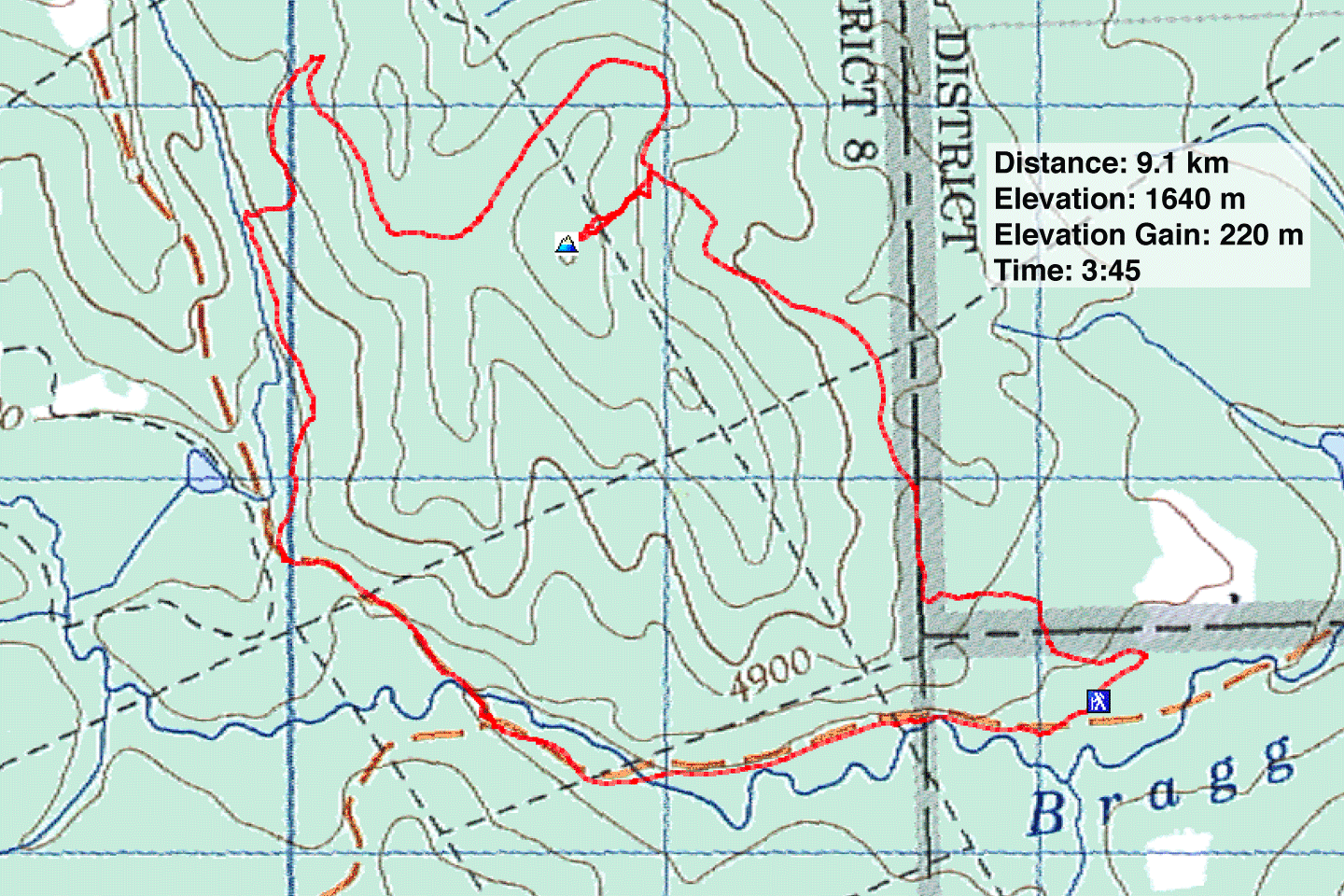
Distance: 9.1 km (5.7 mi)
Cumulative Elevation Gain: 252 m (827 ft)
The idea for hiking North Bragg Loop came from Kananaskis Country Guide. The counterclockwise loop begins in West Bragg parking lot and uses roads and trails to ascend a low ridge.
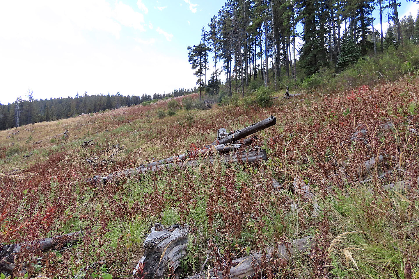
But since the guidebook was printed, new trails have popped up in the area and maps at the tail junctions dispel navigation concerns. Dinah and I followed the loop comprising several trails such as Old Shell Road, Reconnect and Snowshoe Hare West. Partway through the loop, I couldn't resist ascending a high point called North Bragg on the map in the guidebook. Without the benefit of a trail, I hiked up a meadowy slope and after brief bushwhacking through trees, reached the viewless high point. Much to my chagrin, a trail – Long Distance – now runs over the summit.
North Bragg Loop climbs a modest height and offers few views, but it's pleasant and easy, attractive when one wants a quick trip. On the downside, mountain bikers far outnumbered hikers, and the forest stillness was constantly disturbed by riders whizzing by us. This is a great area for bikers, but from our experience, not so much for hikers.
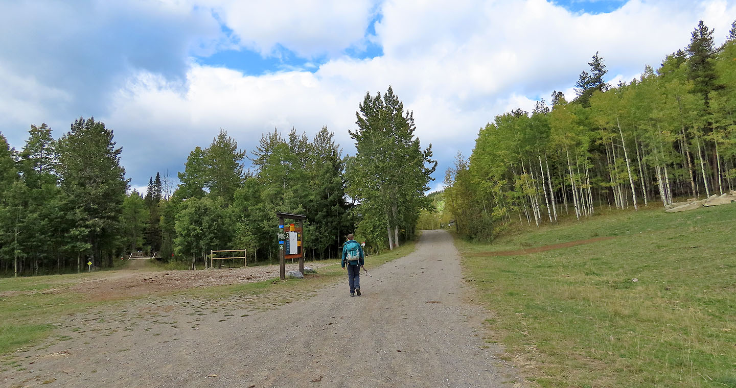
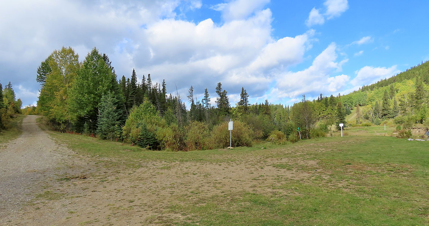
Starting up the road
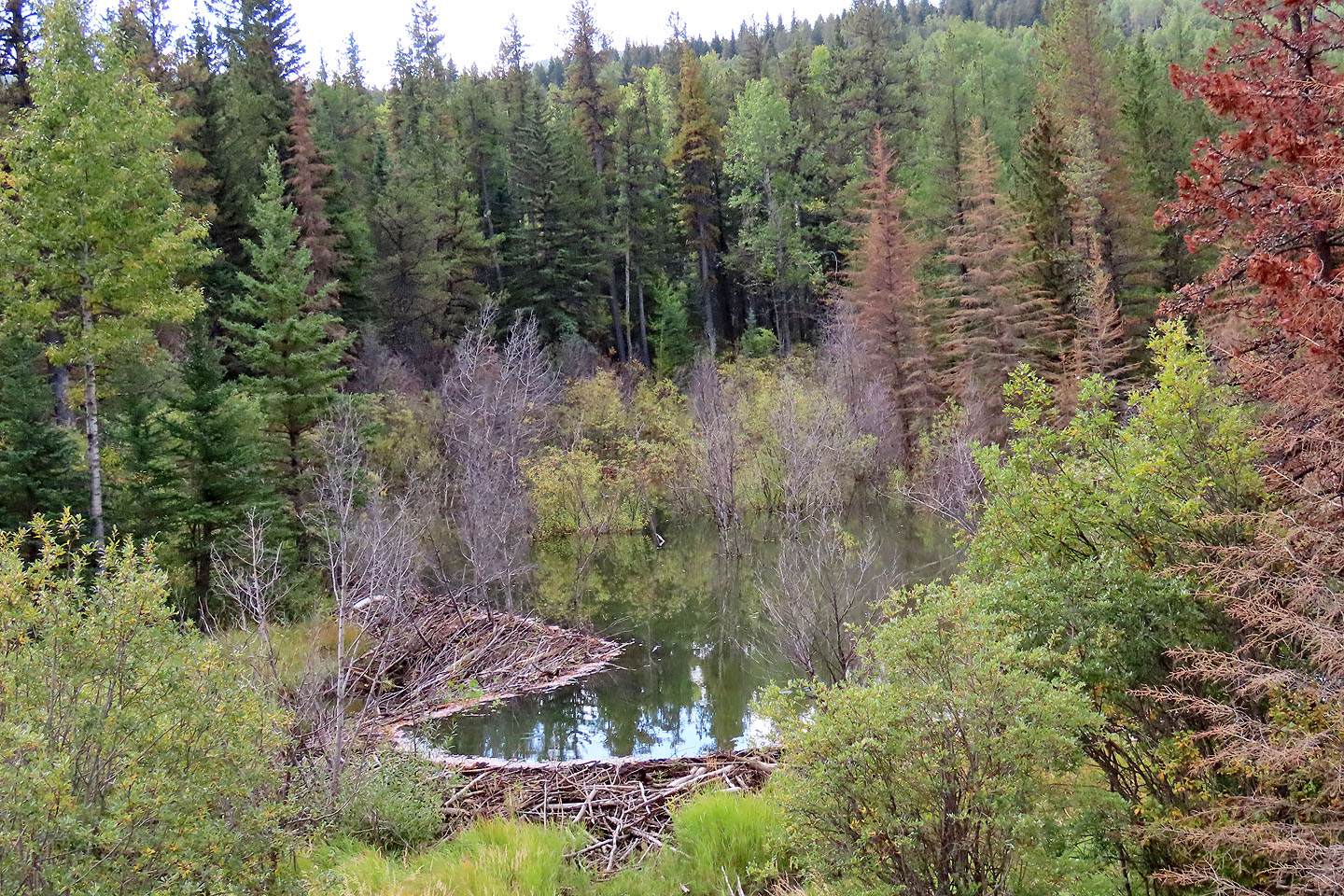
A few minutes after starting, we passed a large beaver dam
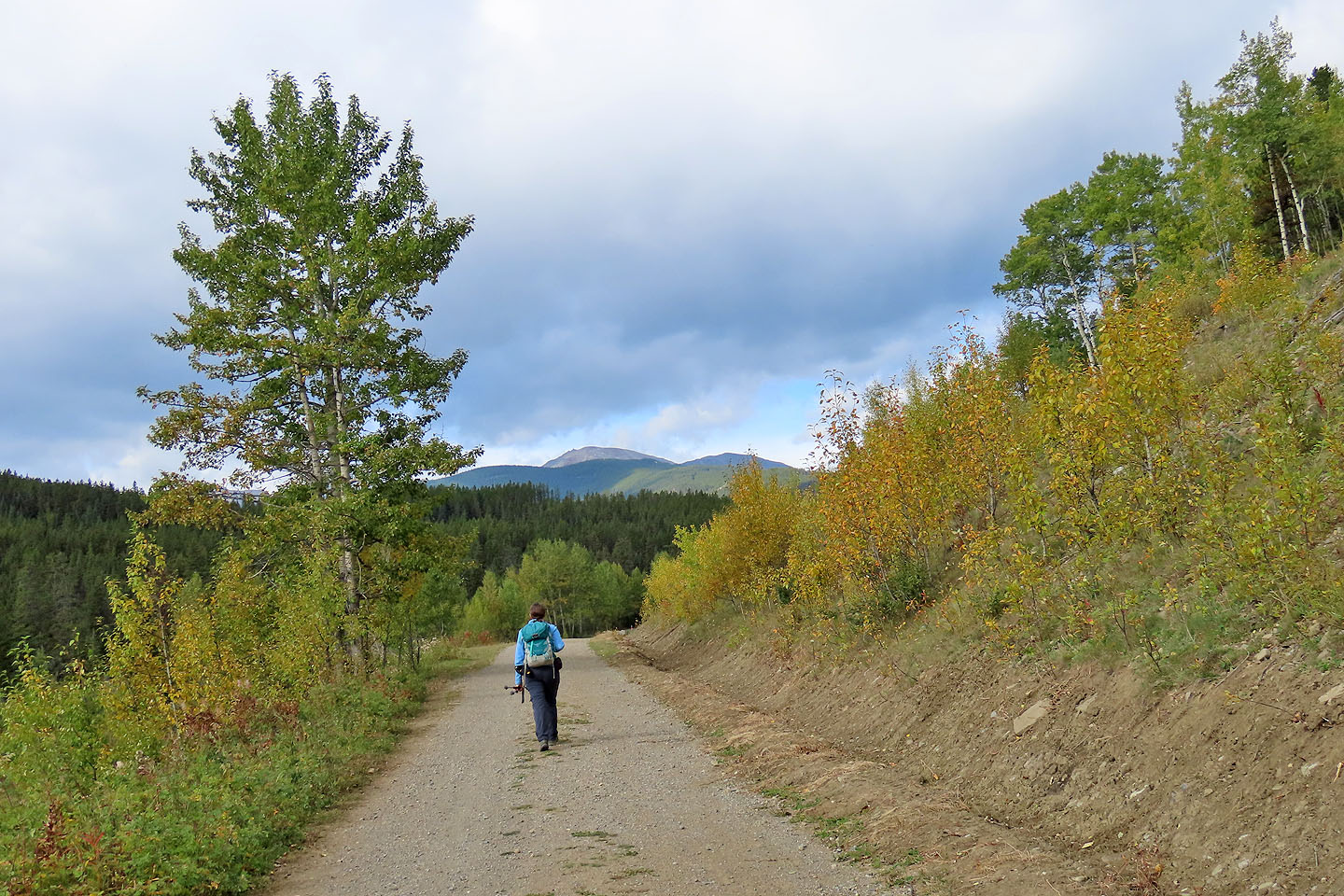
Moose Mountain appears ahead
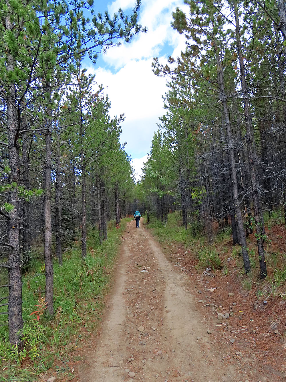
After crossing a bridge, we kept right to get on Old Shell Road
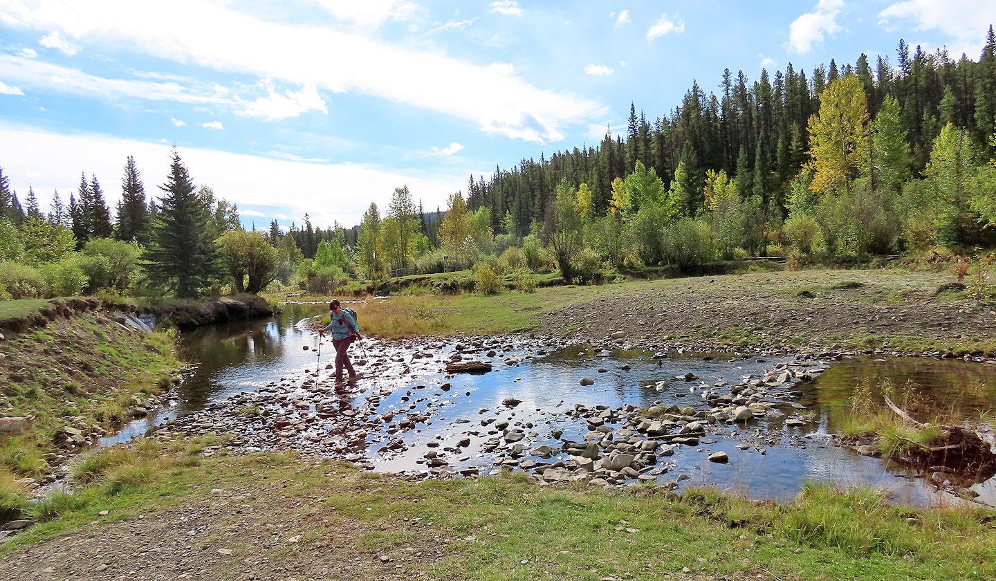
We soon crossed Bragg Creek
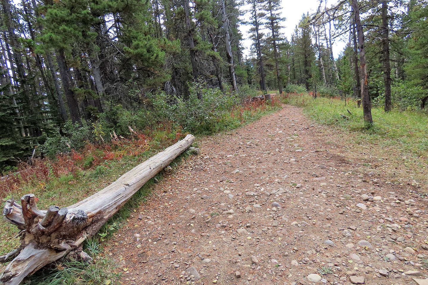
We kept right
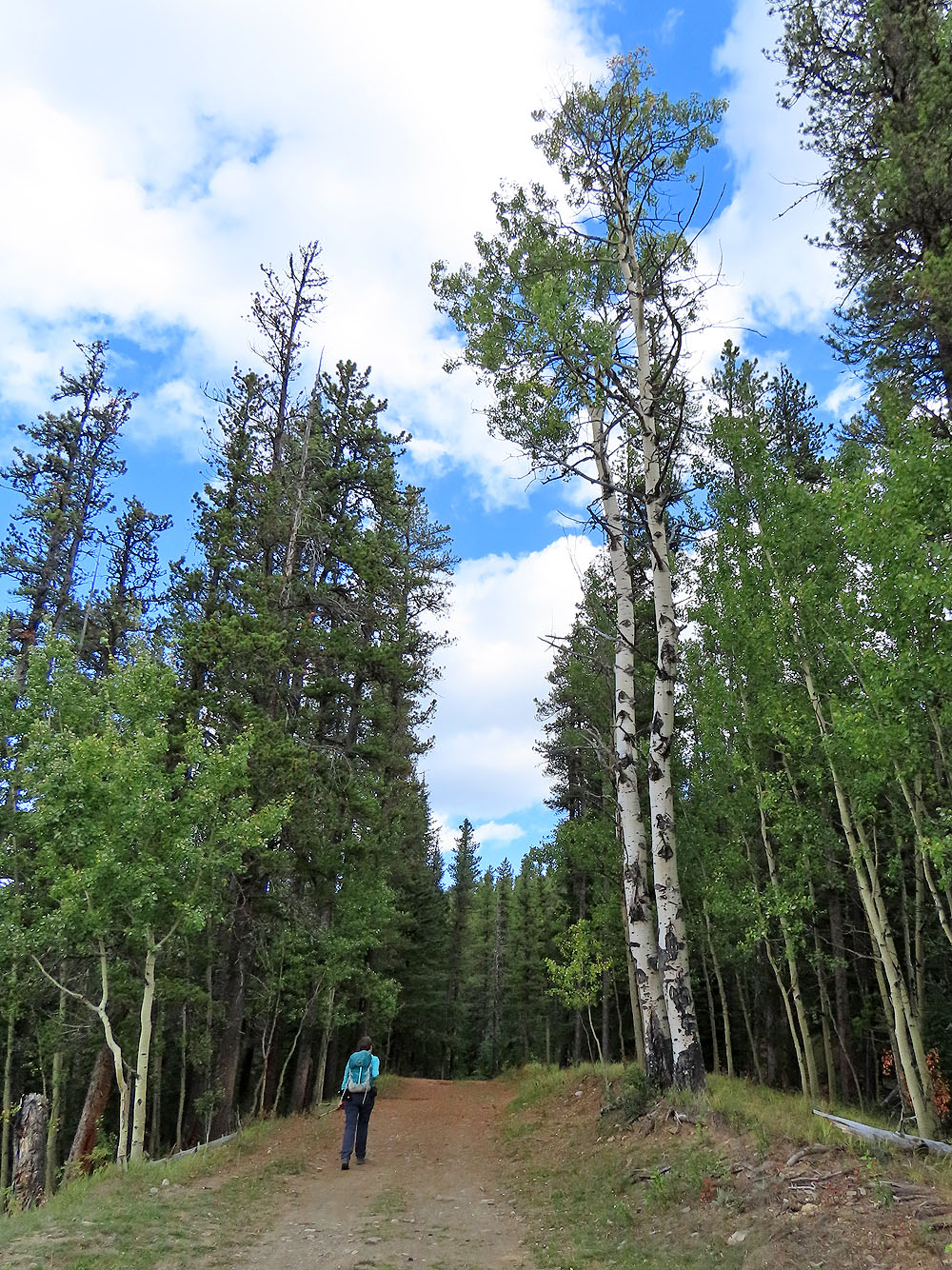
The trail passes towering aspens
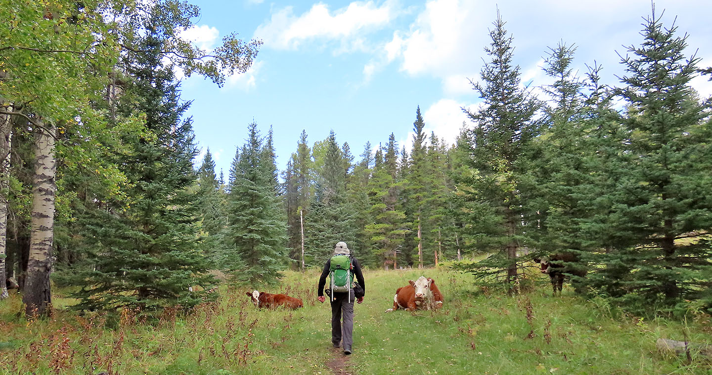
We hiked between two cows
We turned onto Reconnect
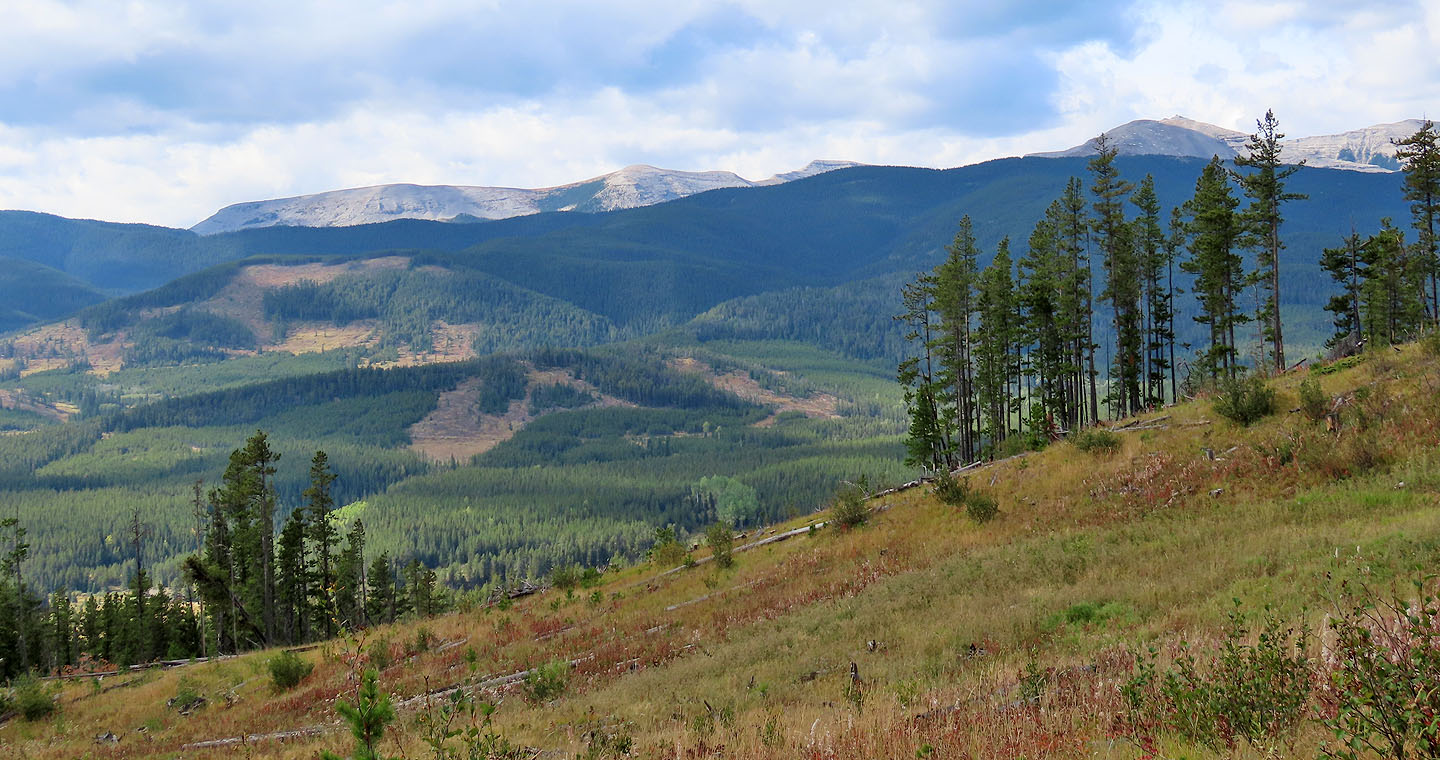
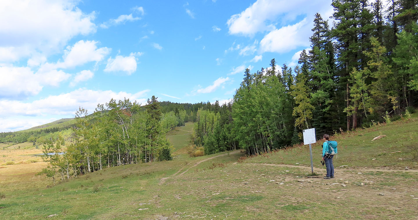
Prairie Mountain and Moose Mountain
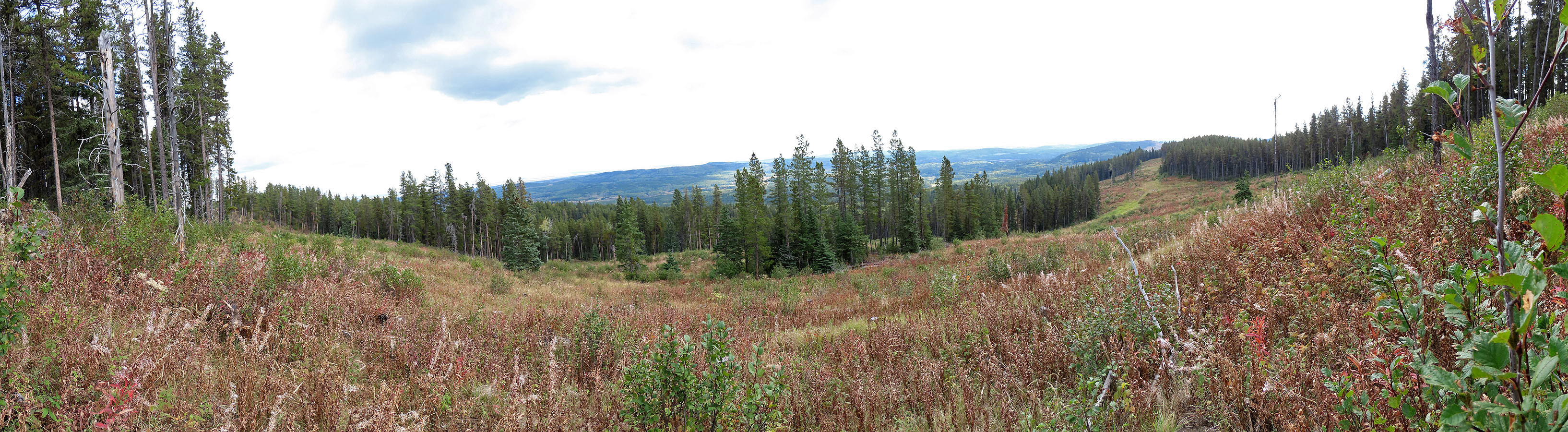
I hiked up an open slope where I took the panorama
There are no views on the summit
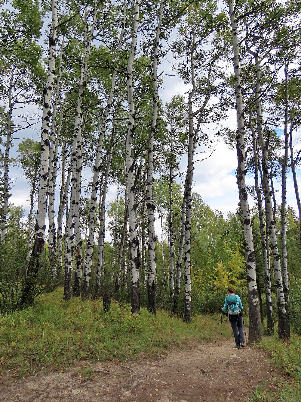
Coming back on Snowshoe Hare we passed a grove of tall aspens
 82 J/15 Bragg Creek