bobspirko.ca | Home | Canada Trips | US Trips | Hiking | Snowshoeing | MAP | About
Bishop Ridge, East Peak
Kananaskis, Alberta
November 9, 2008
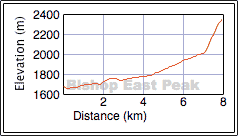
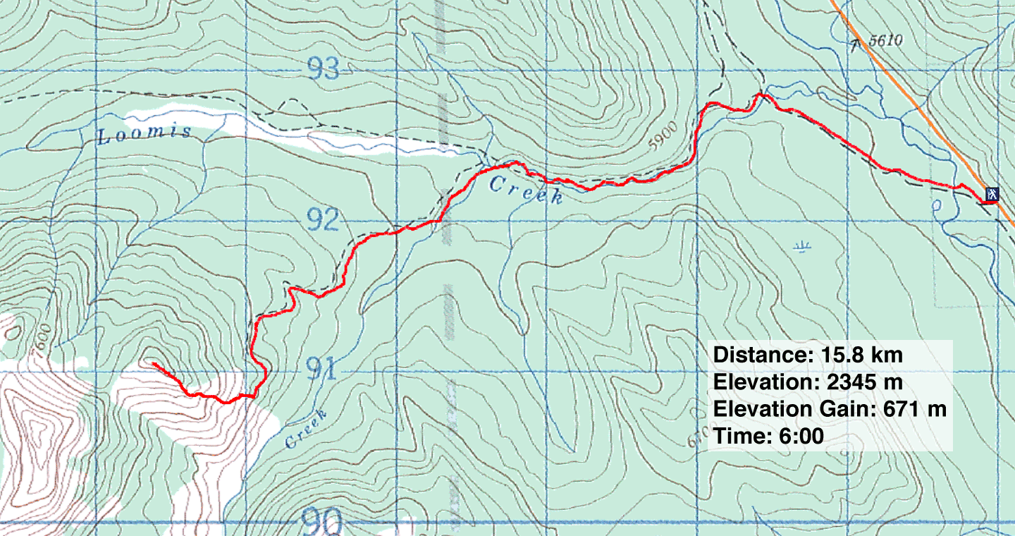
Distance: 15.8 km (9.8 mi)
Cumulative Elevation Gain: 725 m (2379 ft)
I set off with the intention of climbing Bishop Ridge, but unfortunately I couldn't summon enough energy to complete the summit. I settled on climbing a high point instead. I simply ran out of energy. I suspect it was a reaction to the flu vaccination I had received the previous day.
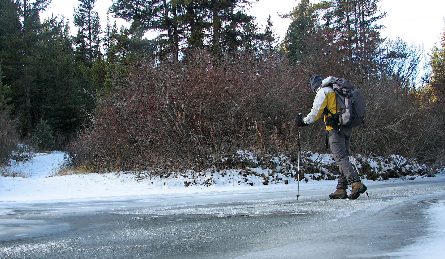
I parked 1.2 km north of Lineham Creek day-use area, hiked up the trail a short way and waded the Highwood River. Shortly after, I crossed Loomis Creek and followed the trail alongside the creek.
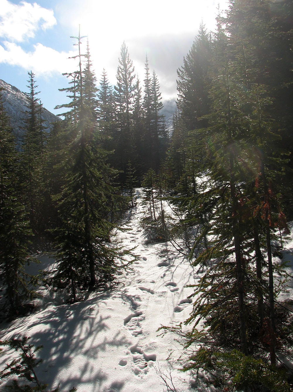
The trail crosses the creek several times, but since the water was low and in some places frozen, I was able to keep my feet dry – one good reason for doing this hike late in the season. I noticed the tracks of different animals in the snow, but one stood out: the bloody paw prints of a cougar. I thought the blood came from a fresh kill and would soon disappear, but after following the tracks for several hundred meters, the blood-stained snow persisted. Apparently the big cat had wounded one of its paws.
I was so curious about the bloody tracks that I missed the turn-off for Bishop Ridge! I continued up the trail for 500 m before realizing it. Instead of backtracking to the junction, I bushwhacked up a ridge and eventually got back on the Bishop Creek trail.
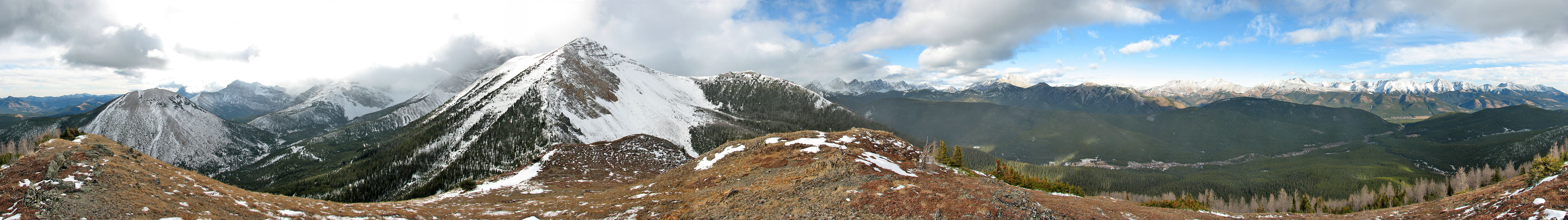
The trail was largely overgrown and unpleasant. At times I held my poles in front of my face to protect it from being branch-whipped. But I was more concerned with my flagging pace. I was tiring quickly, so I decided to cut my losses and head up the east peak. Even that short, steep climb proved tiring, but I welcomed the views at the top. I was disappointed to find the Elk Range hidden in clouds, but the eastern skies were clear, and I could see the Highwood Range.
After a short stay, I meandered back down to the trail, and this time followed it back to Loomis Creek. It was a gorgeous day, and I regretted having to abort Bishop Ridge, but also found myself quickly fatiguing despite going downhill.
I'll probably return to climb Bishop Ridge or Mount Bishop or both, but I'm not looking forward to the creek crossings and overgrown trail!
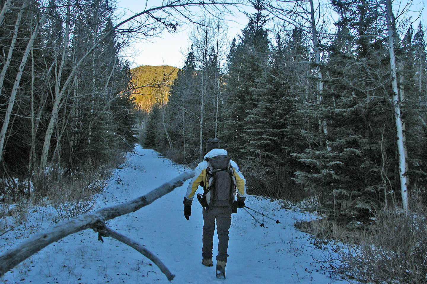
Hiking up the trail after crossing Highwood River
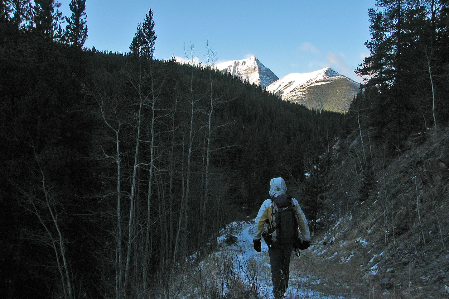
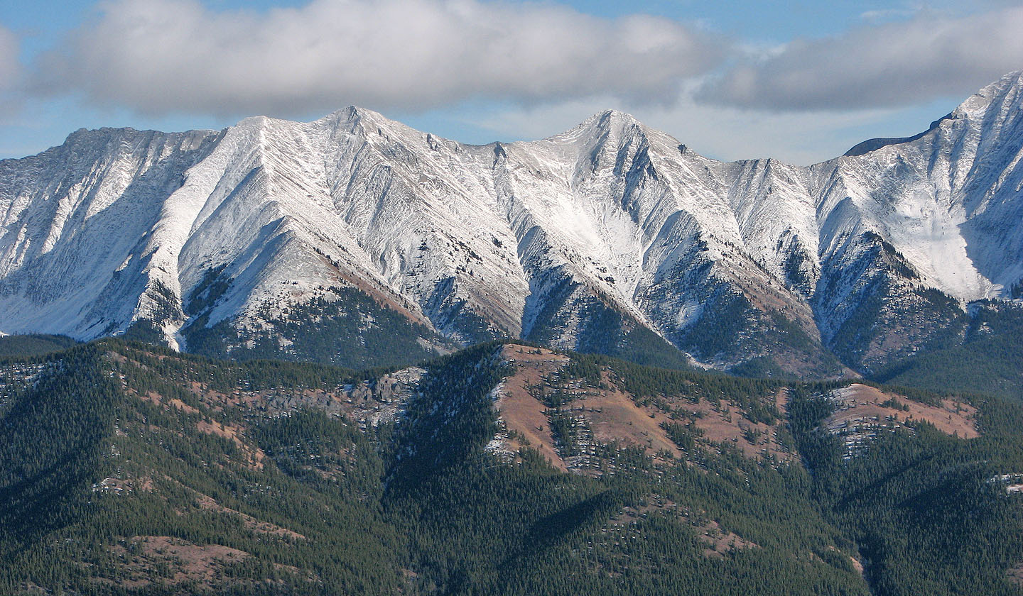
Mount Bishop and Bishop Ridge
Fourth Loomis Creek crossing
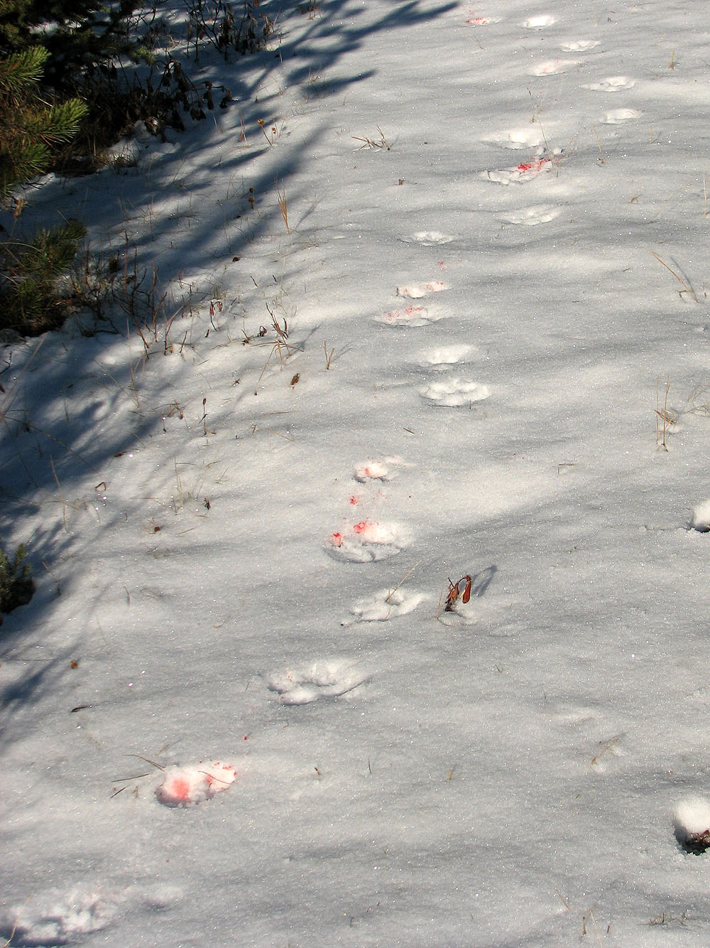
Bloody cougar tracks
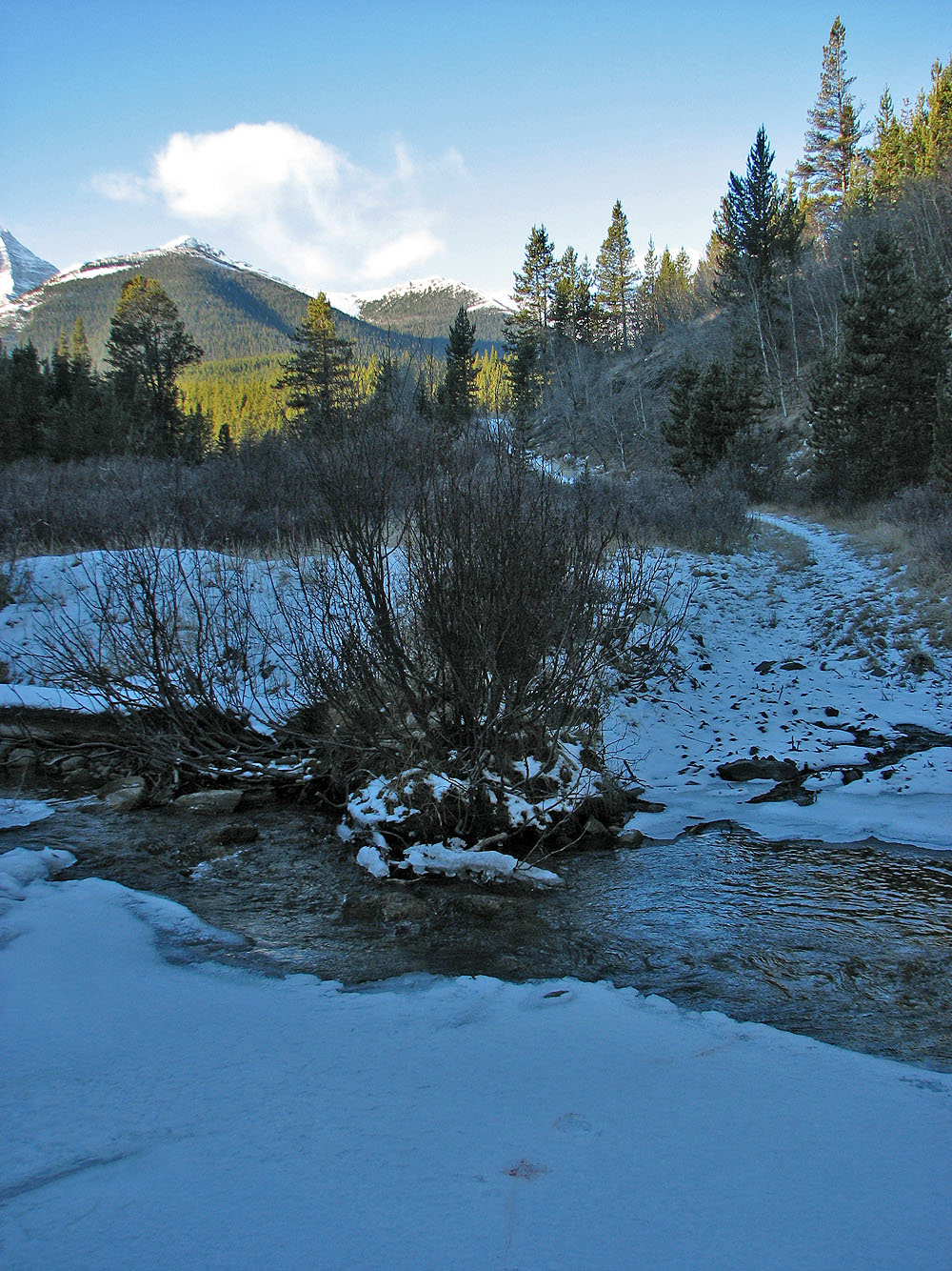
The fifth Loomis Creek crossing: the turn-off for Bishop Creek trail is 100 m farther
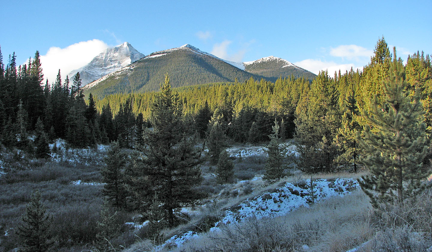
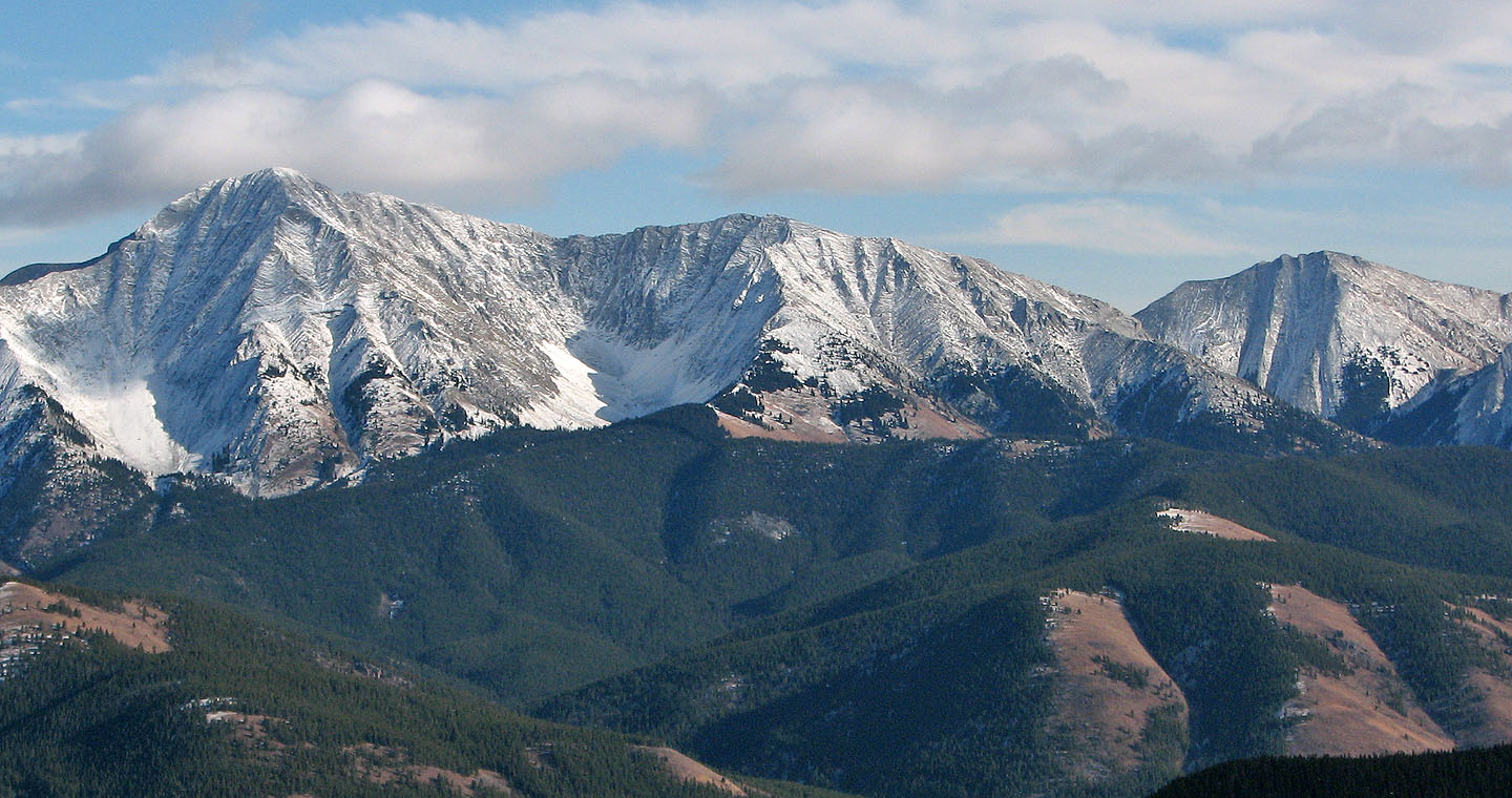
A closer look at Mount Bishop and Bishop Ridge
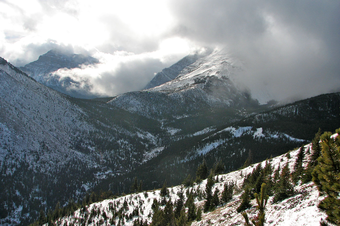
Clouds obscured the views to the south
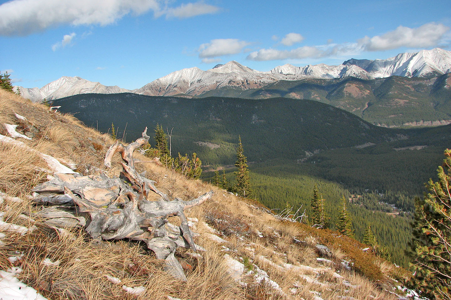
View to the northeast
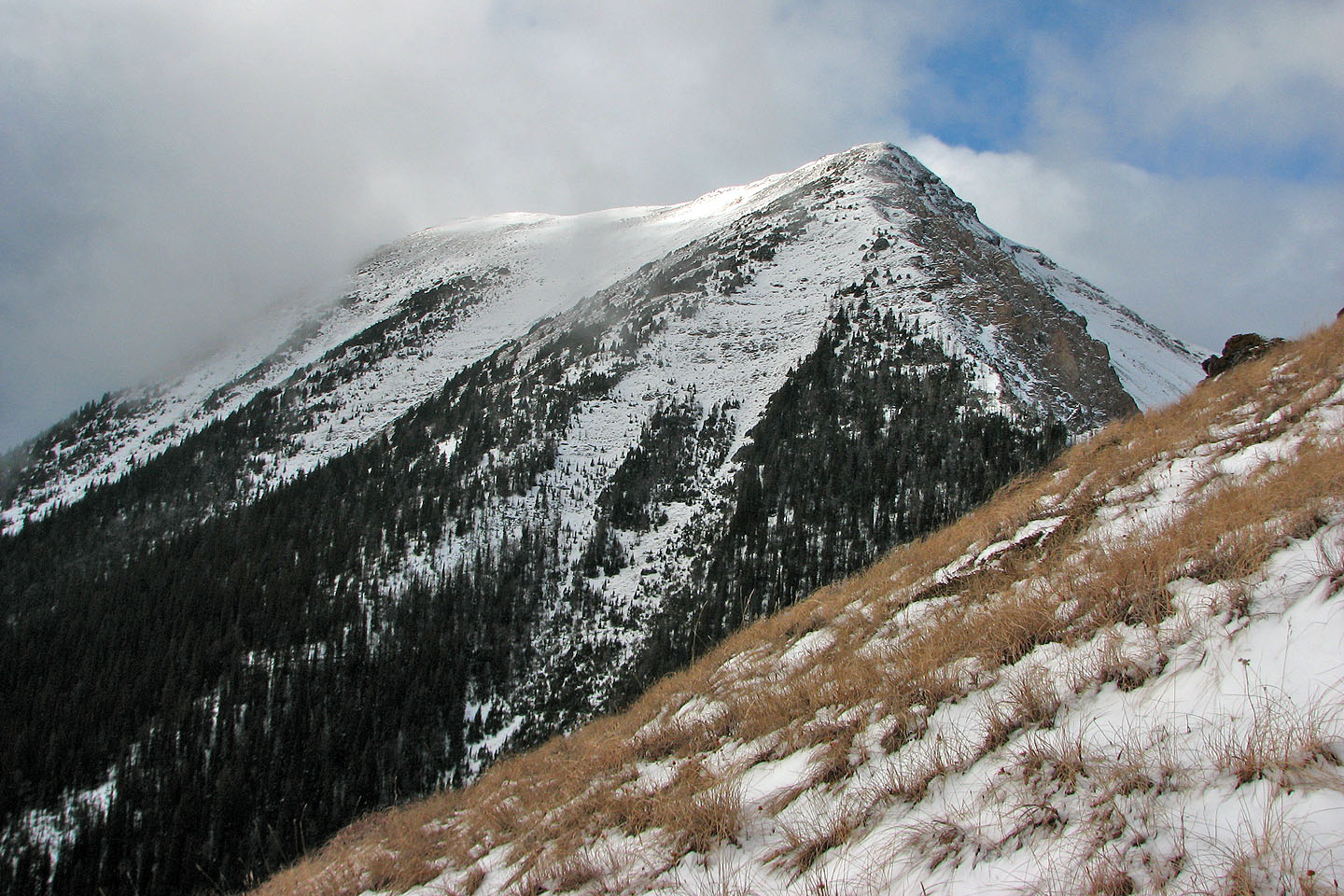
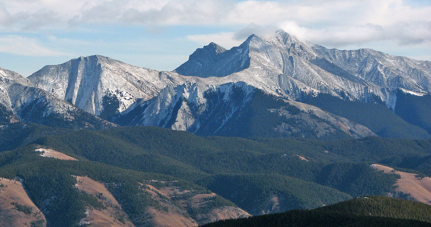
Bishop Ridge seen from the east peak
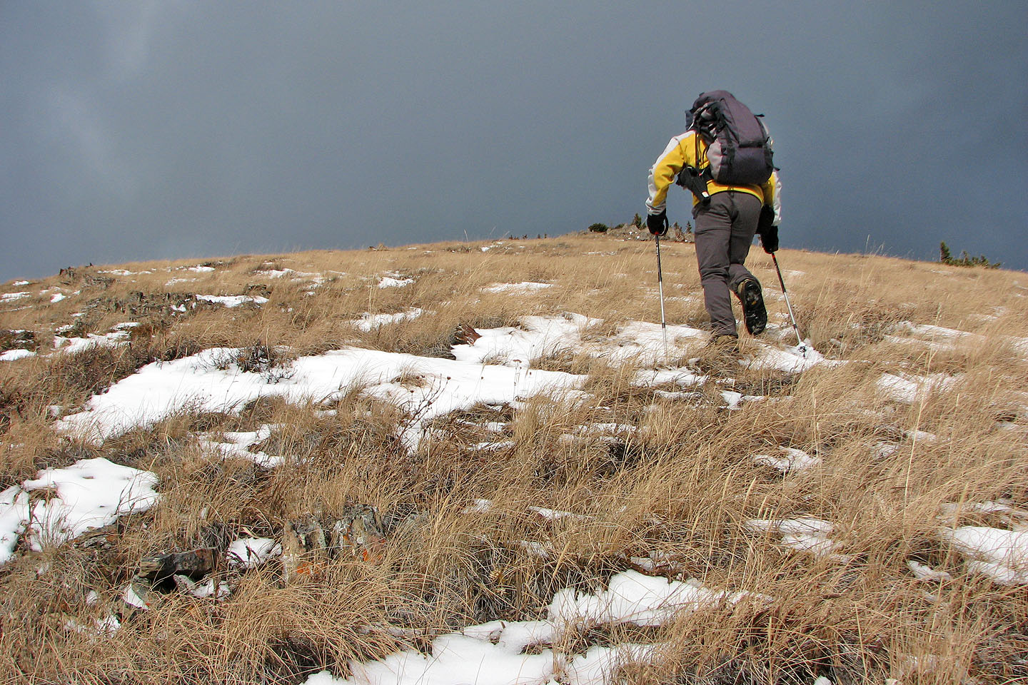
Heading to the top of the east peak
Lineham Peaks (left)
Serendipity Peak (centre)
Cat Creek Ridge and Mount Head
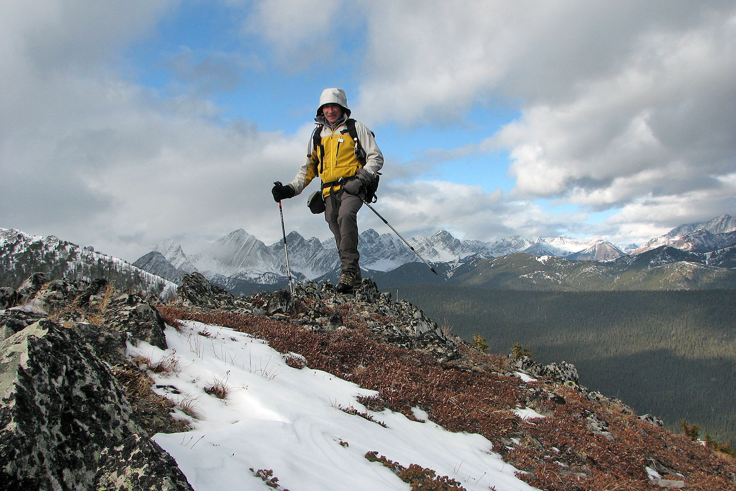
Obligatory summit shot
The overgrown trail
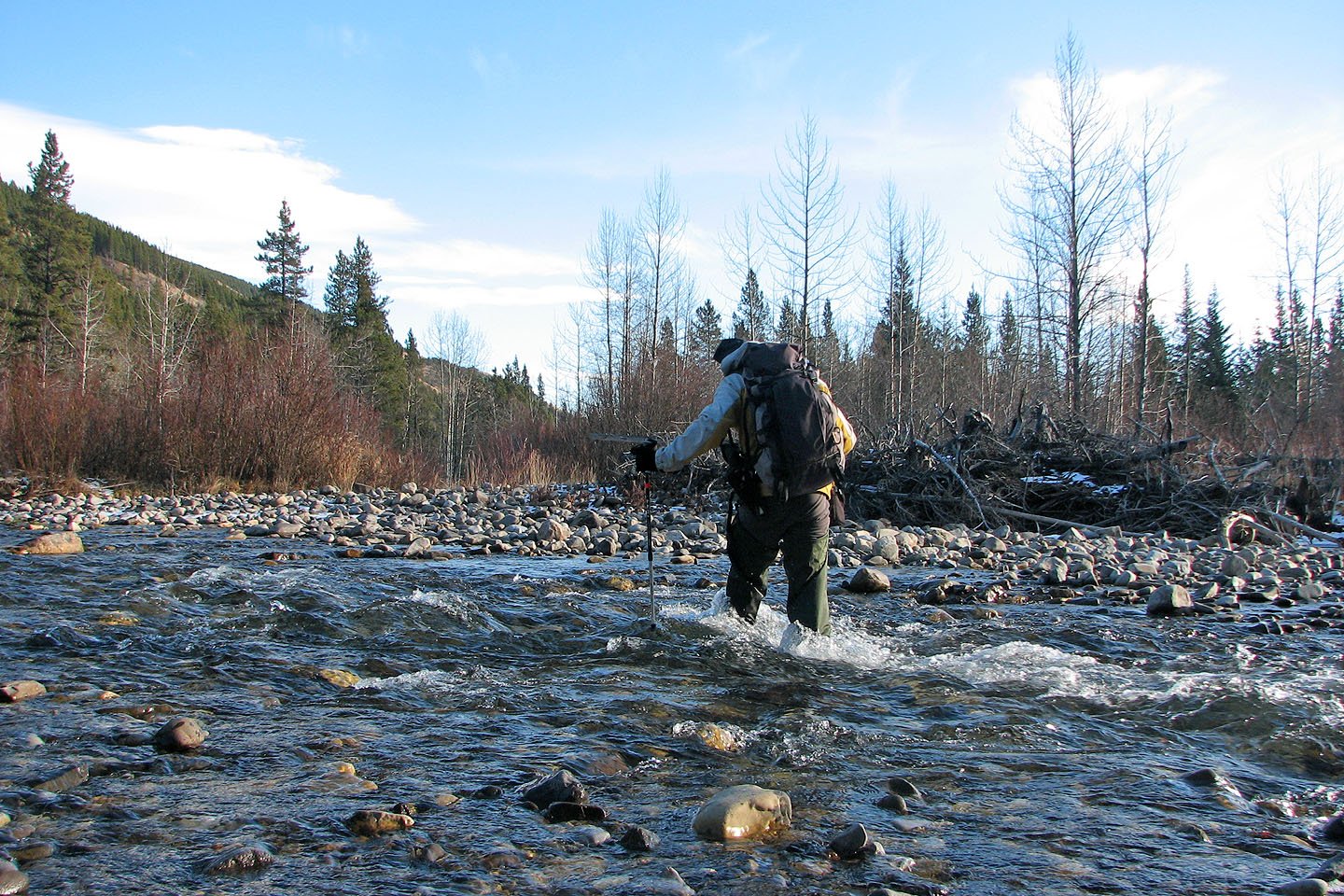
Crossing Highwood River
82 J/7 Mount Head