bobspirko.ca | Home | Canada Trips | US Trips | Hiking | Snowshoeing | MAP | About
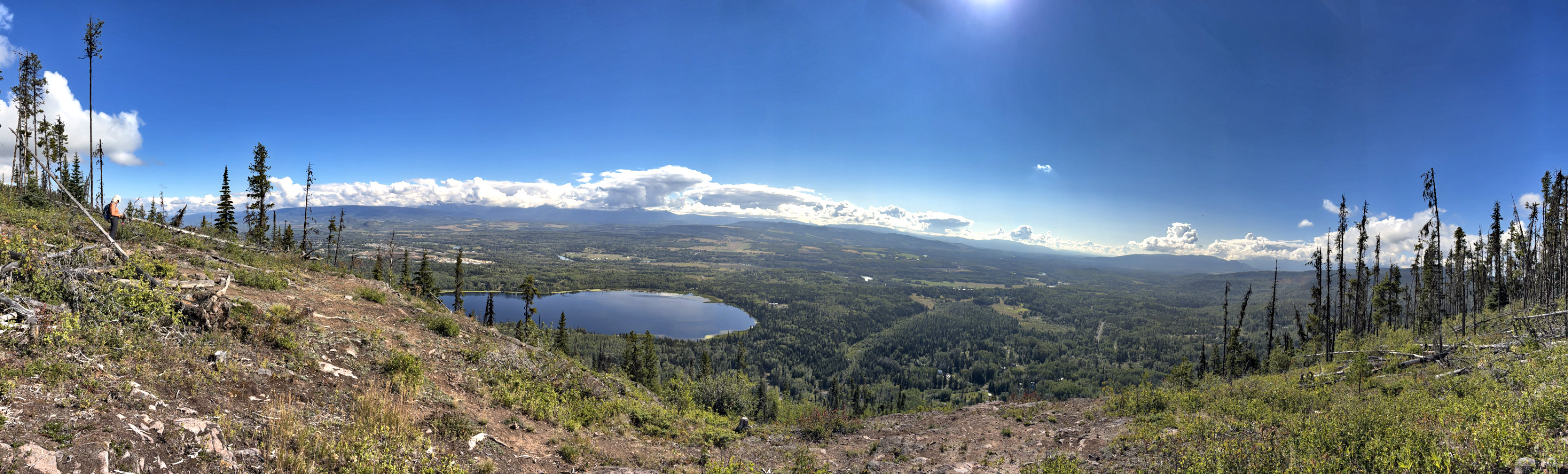
Bald Spot Lookout
Seymour Ridge Trail
Smithers, B.C.
August 11, 2026
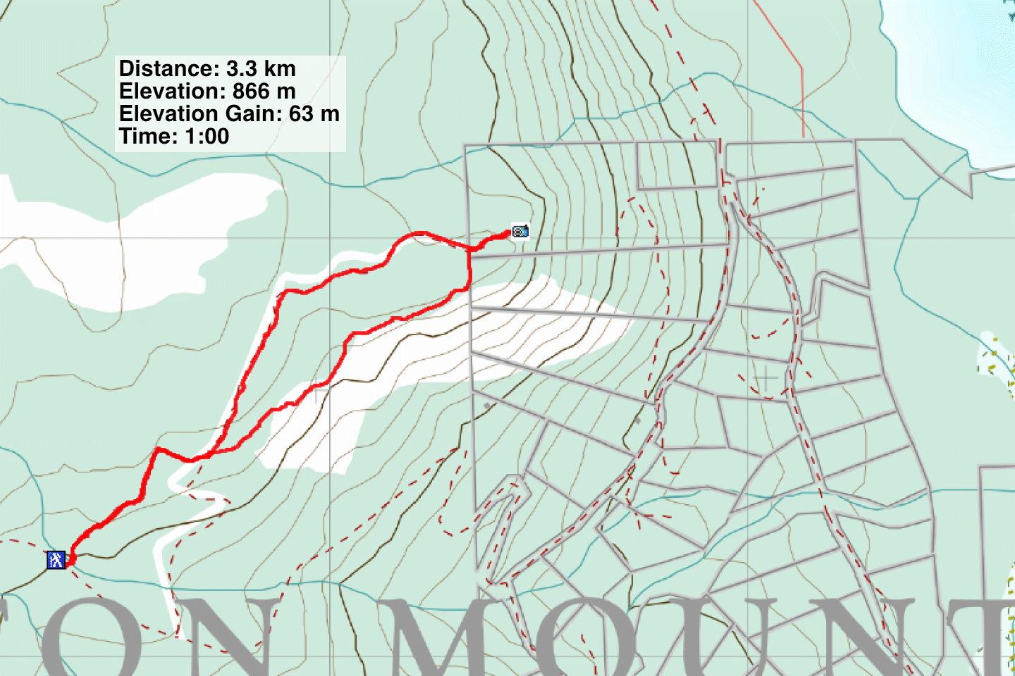
Distance: 3.3 km (2.1 mi)
Cumulative Elevation Gain: 103 m (338 ft)
Seymour Ridge Trail is a brief hike that leads to Bald Spot Lookout, which overlooks Bulkley Valley. To complete a loop, Dinah and I followed an exploration road from the lookout back to the trail. The trailhead sits on the lower slope of Hudson Bay Mountain, a 15-minute drive from Smithers.
We followed the trail as it climbed through the forest and then began alternating between forest and meadows. We soon had nice views of the valley. The trail crosses the road – the road we’ll later return on – and continues to the lookout. After looking down at Seymour Lake and the mountains across the valley, we followed the road through the forest back to the start of the loop. Continuing down the trail, we almost finished our hike when we were surprised to pass a large group going up.
Back at the parking lot, parked next to us, was a small bus with the name of a guided tour company emblazoned on the sides. Obviously, the adventure company recommended hiking Seymour Ridge Trail. Even though it was short, we do too.
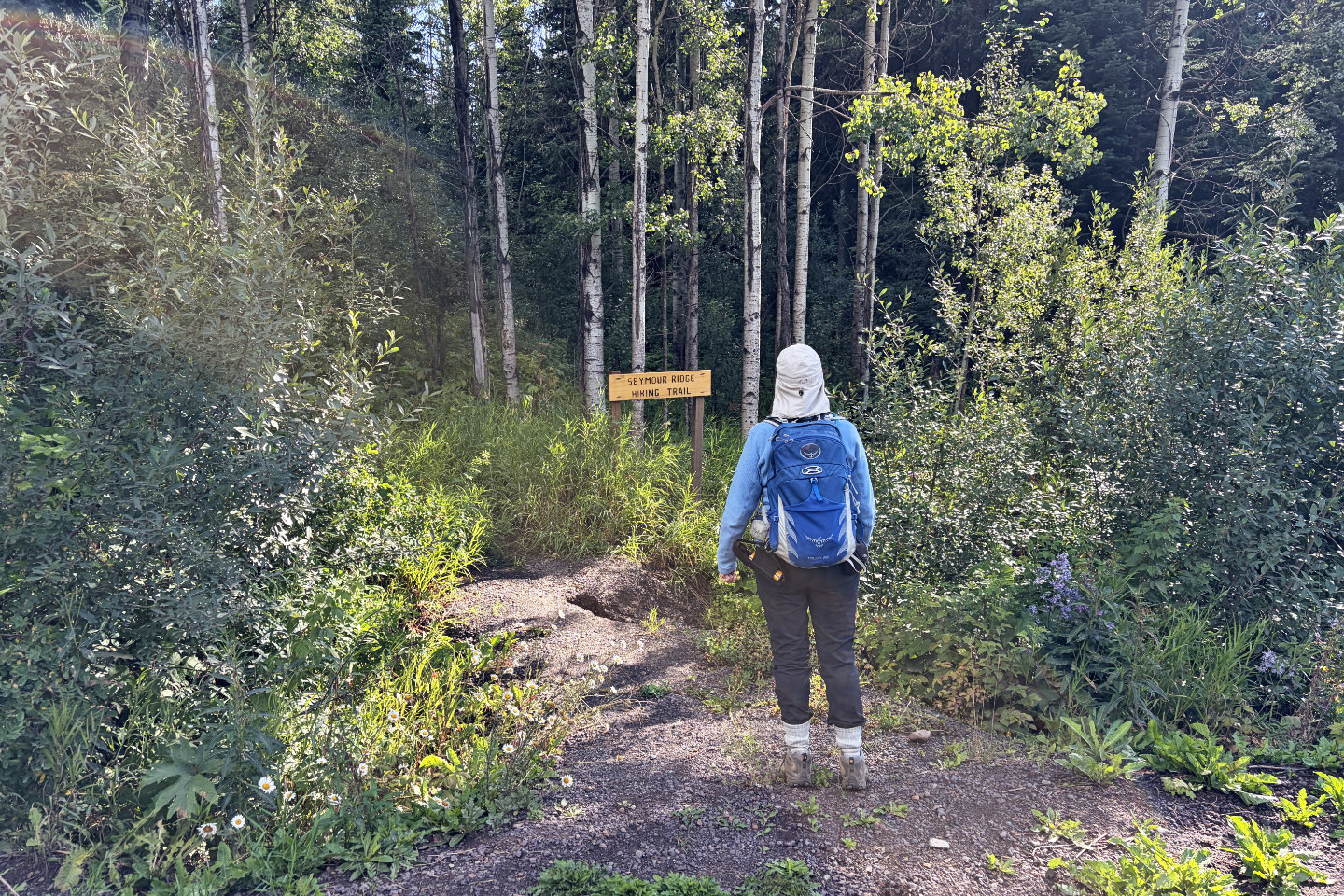 Starting up the trail
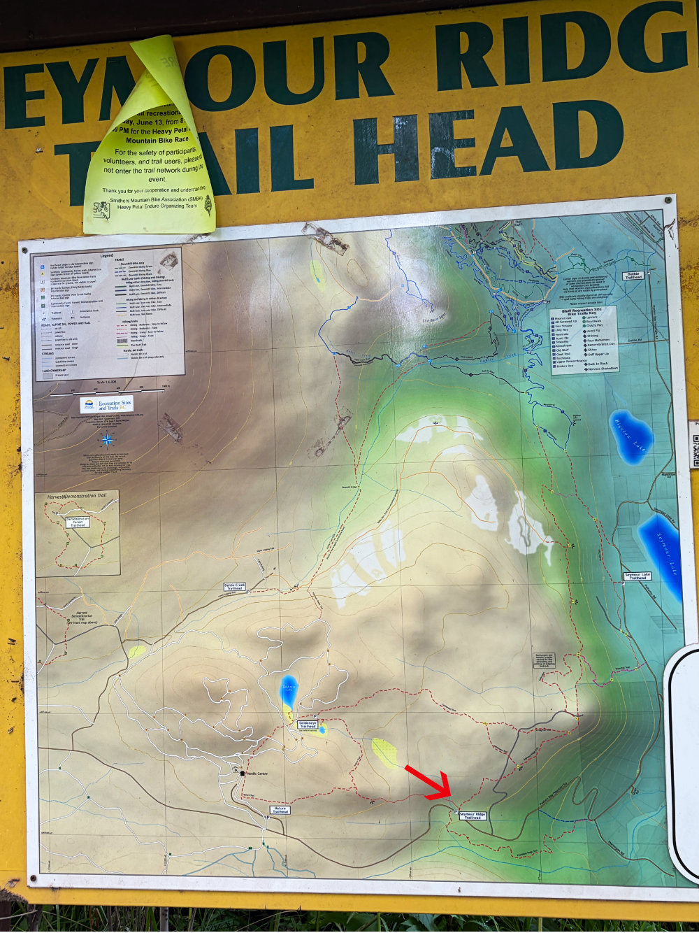
A sign displays the many hiking and ski trails. I added an arrow to show the Seymour Ridge trailhead.
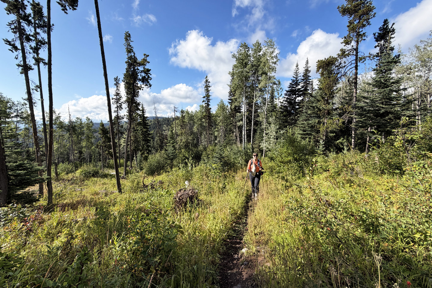 The trail runs through trees and meadows
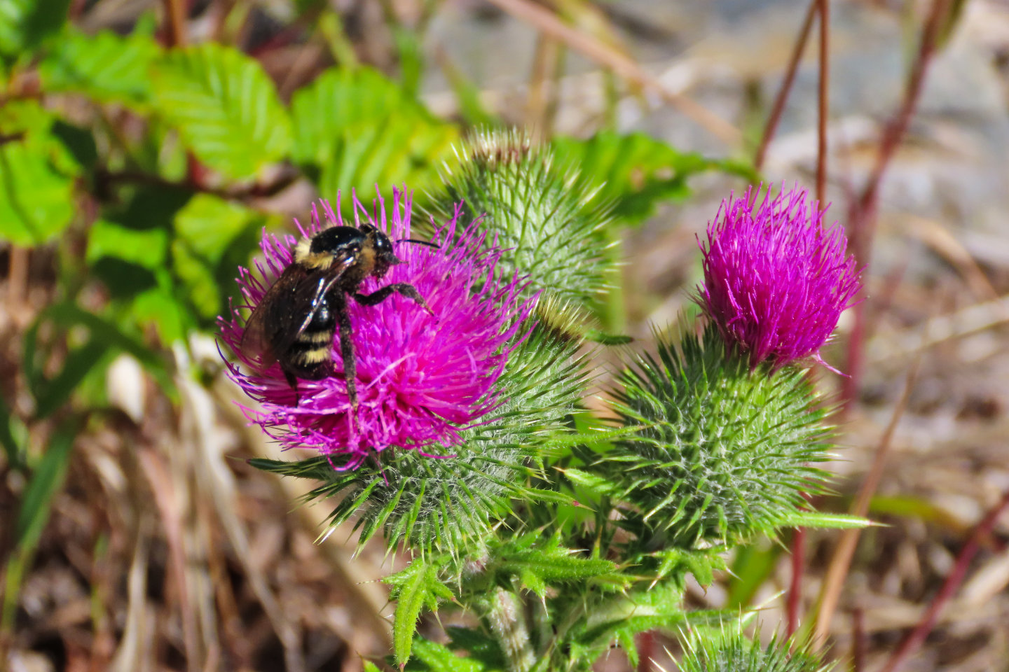 A bumble bee feeds on a thistle
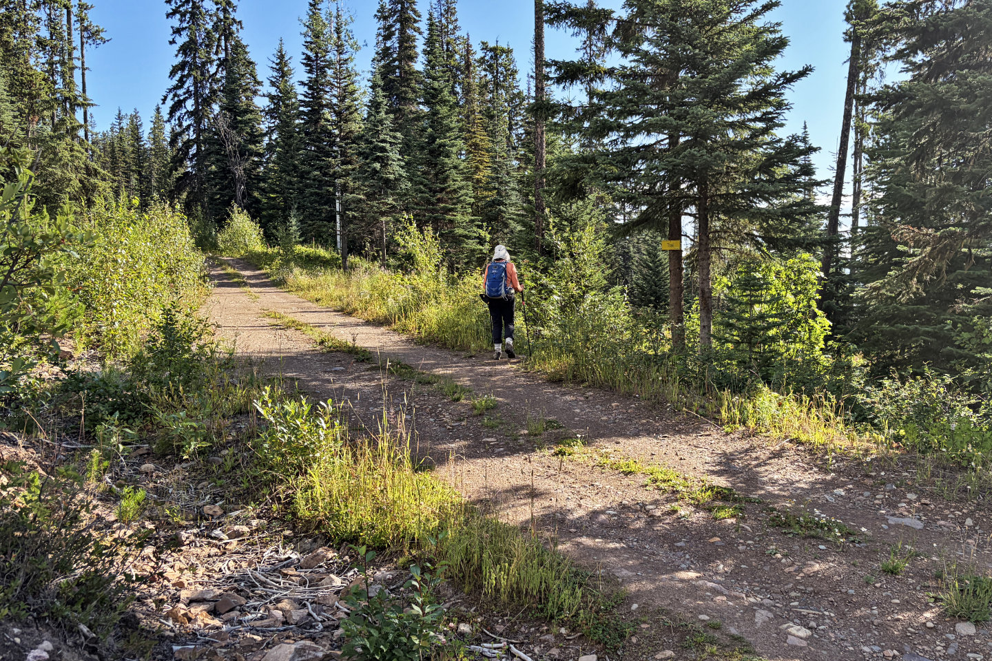 The trail crosses a road which we will later come down and complete the loop here
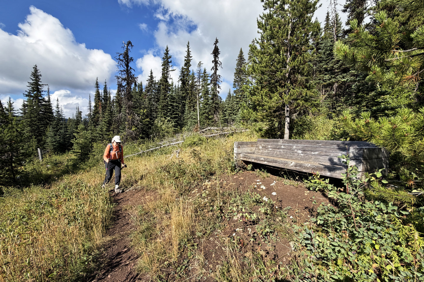 There's a weathered bench for the weary
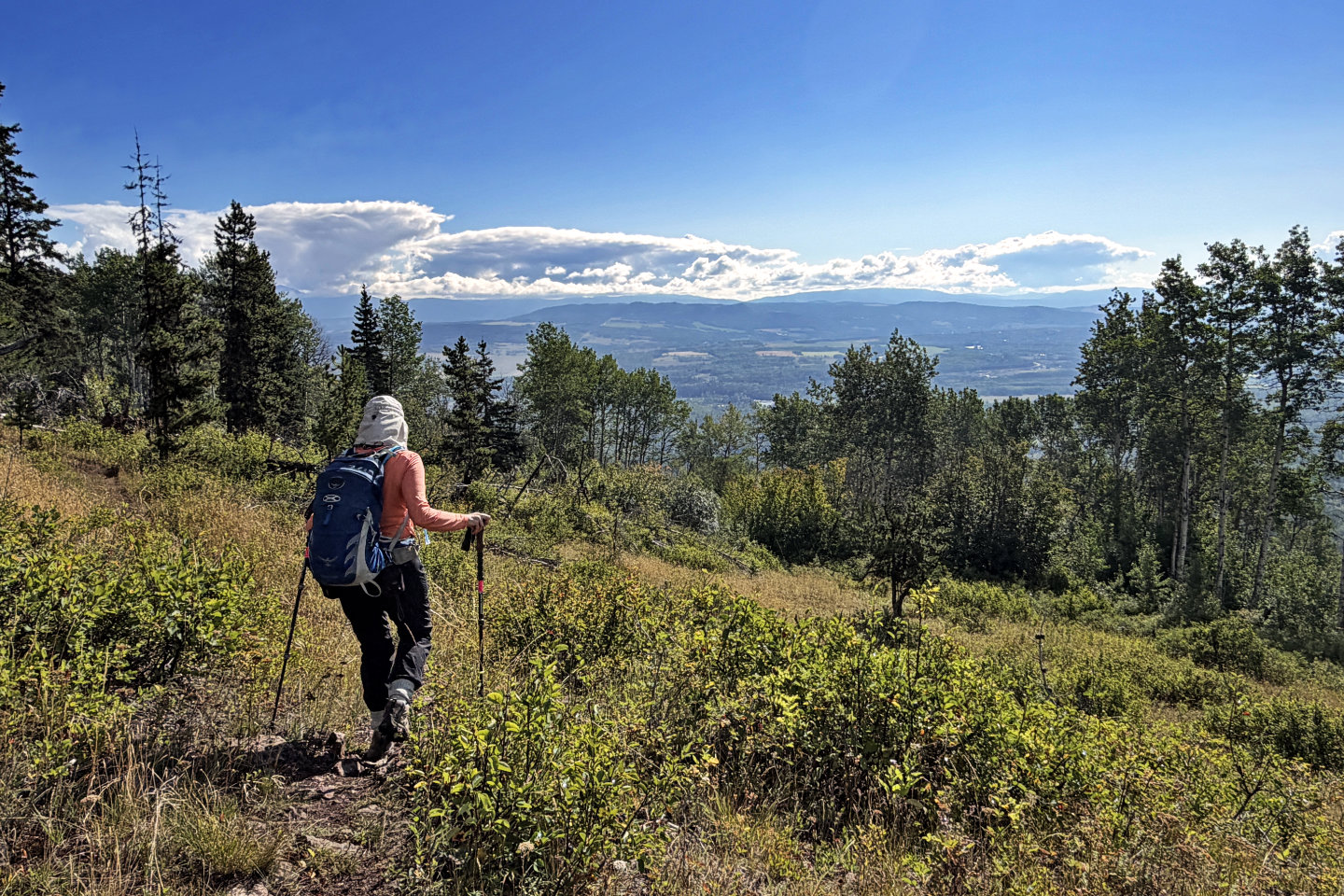 Looking down at Bulkley Valley
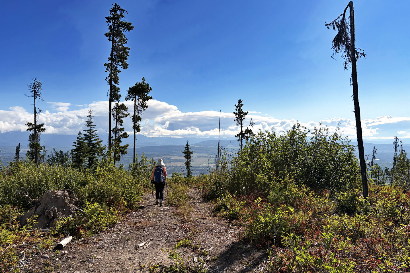 Coming up to Bald Spot Lookout
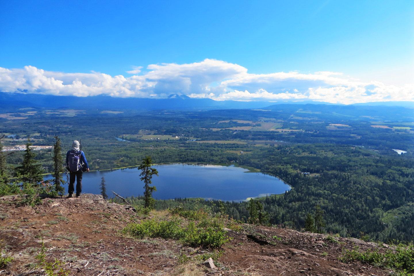 Looking down at Seymour Lake
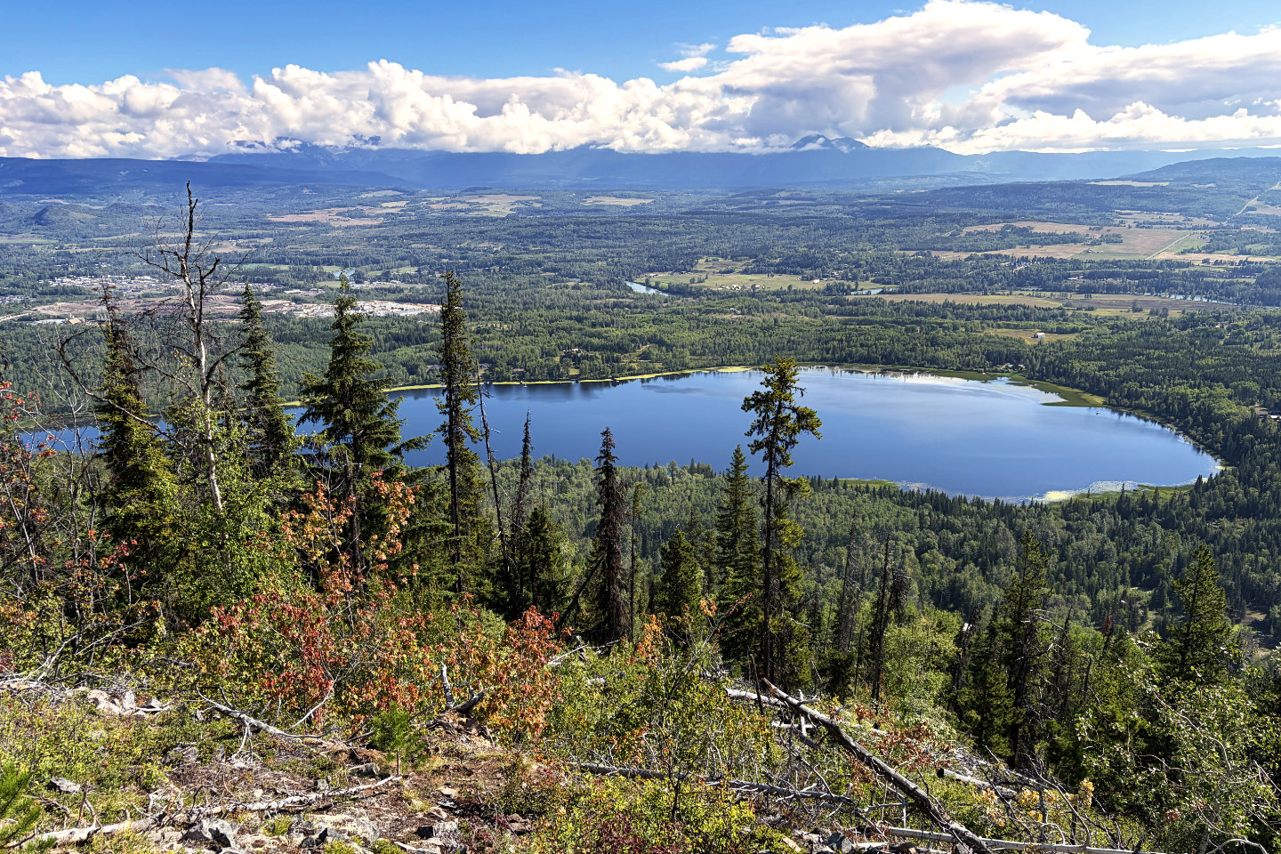
A close look at the lake. The town of Smithers is on the left.
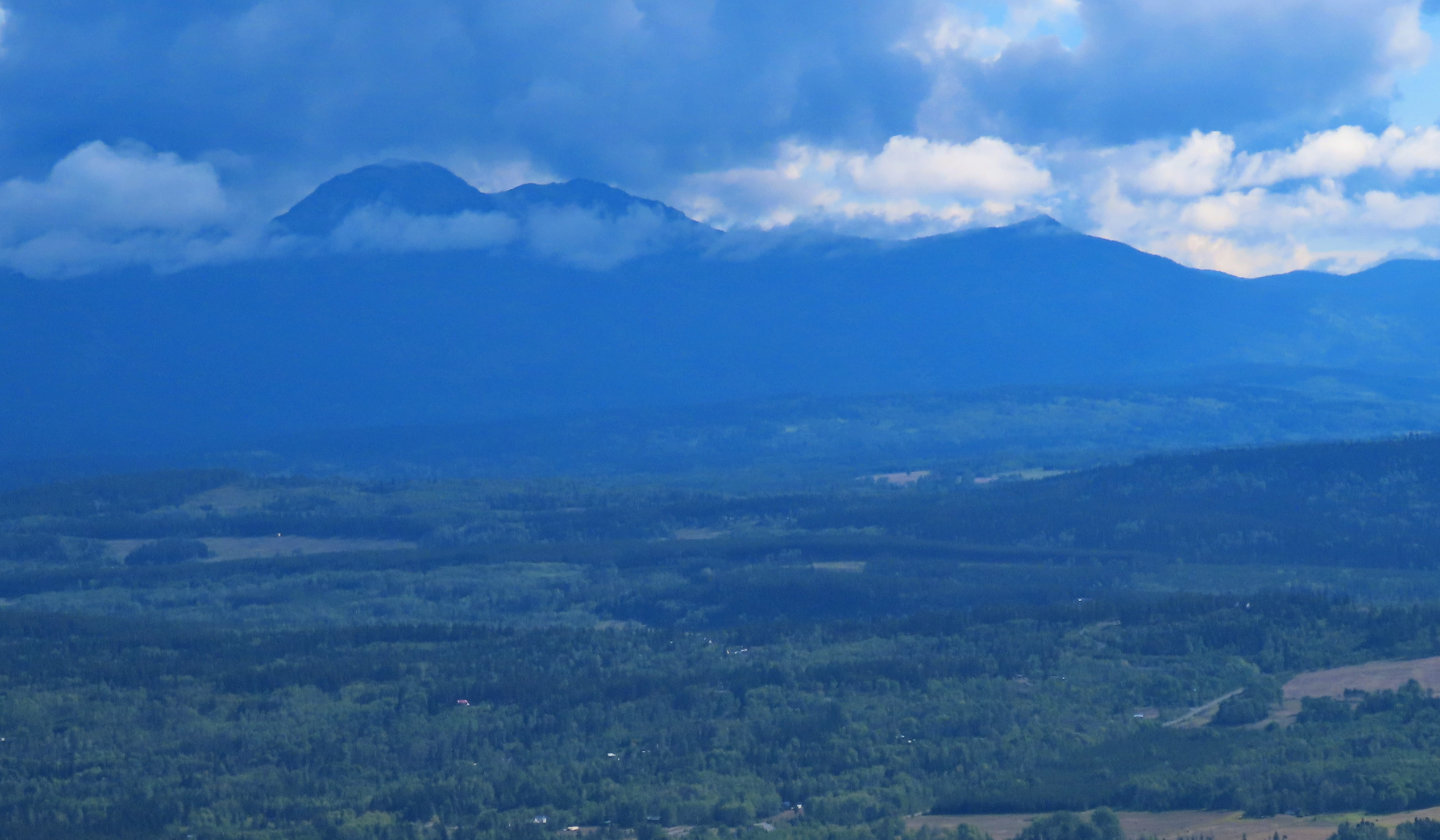 Directly across Seymour Lake are Astlais Mountain, Big Onion Mountain and Little Onion Mountain
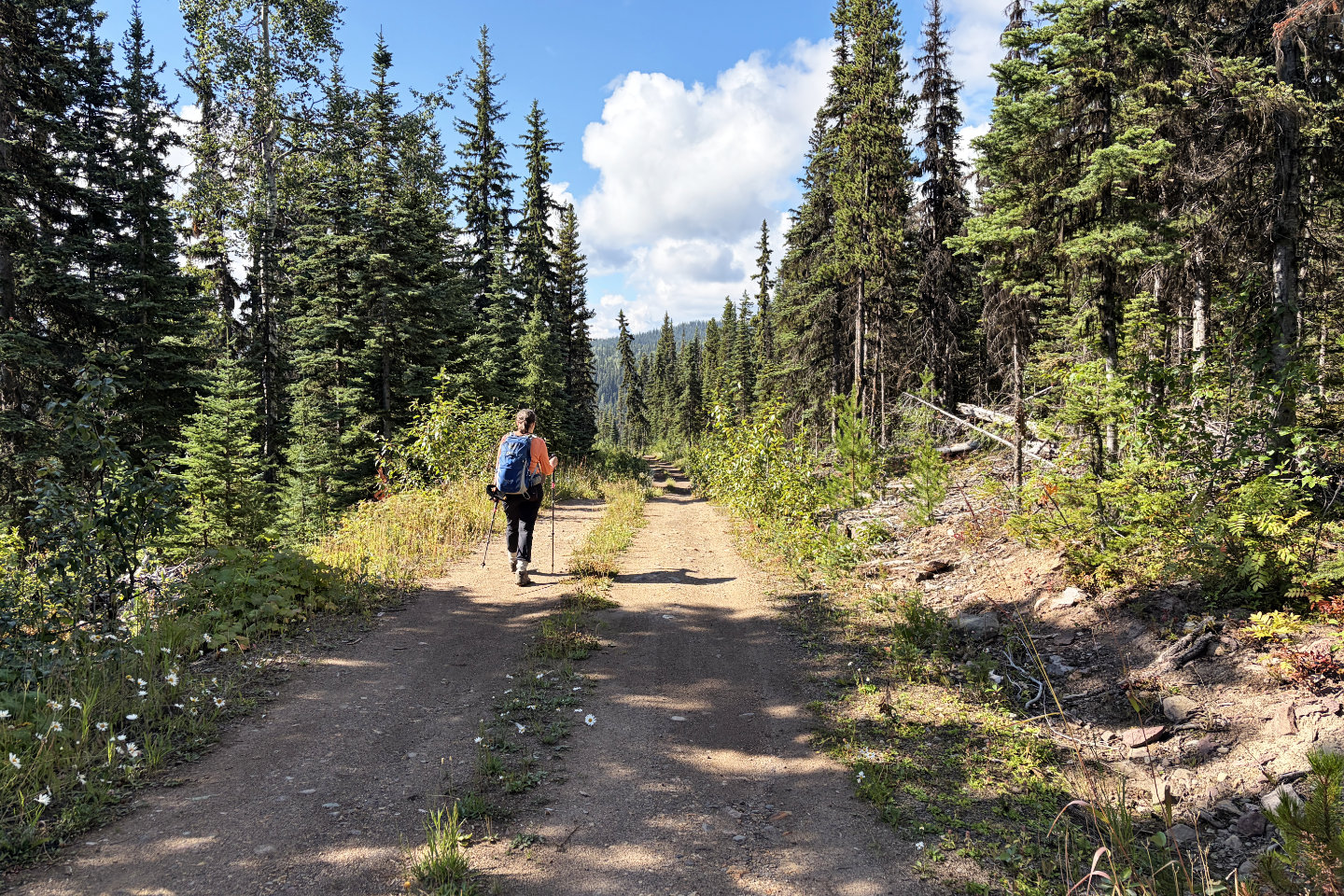 We followed the road back to the beginning of the loop
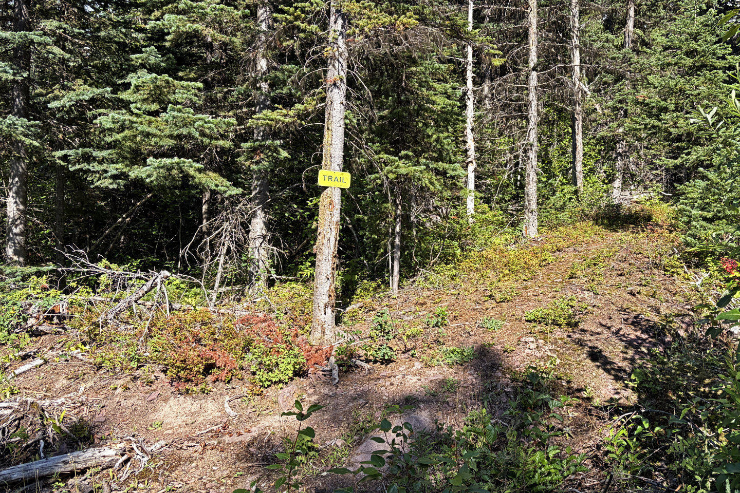 We passed several signs indicating a labyrinth of side trails
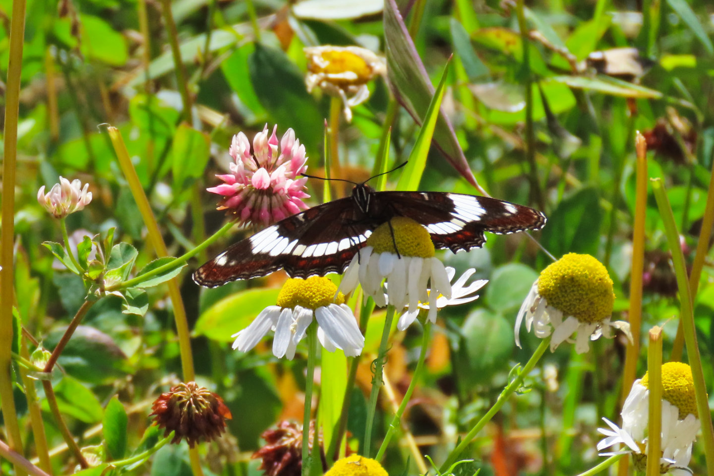 A white admiral butterfly rests on a chamomile flower