bobspirko.ca | Home | Canada Trips | US Trips | Hiking | Snowshoeing | MAP | About
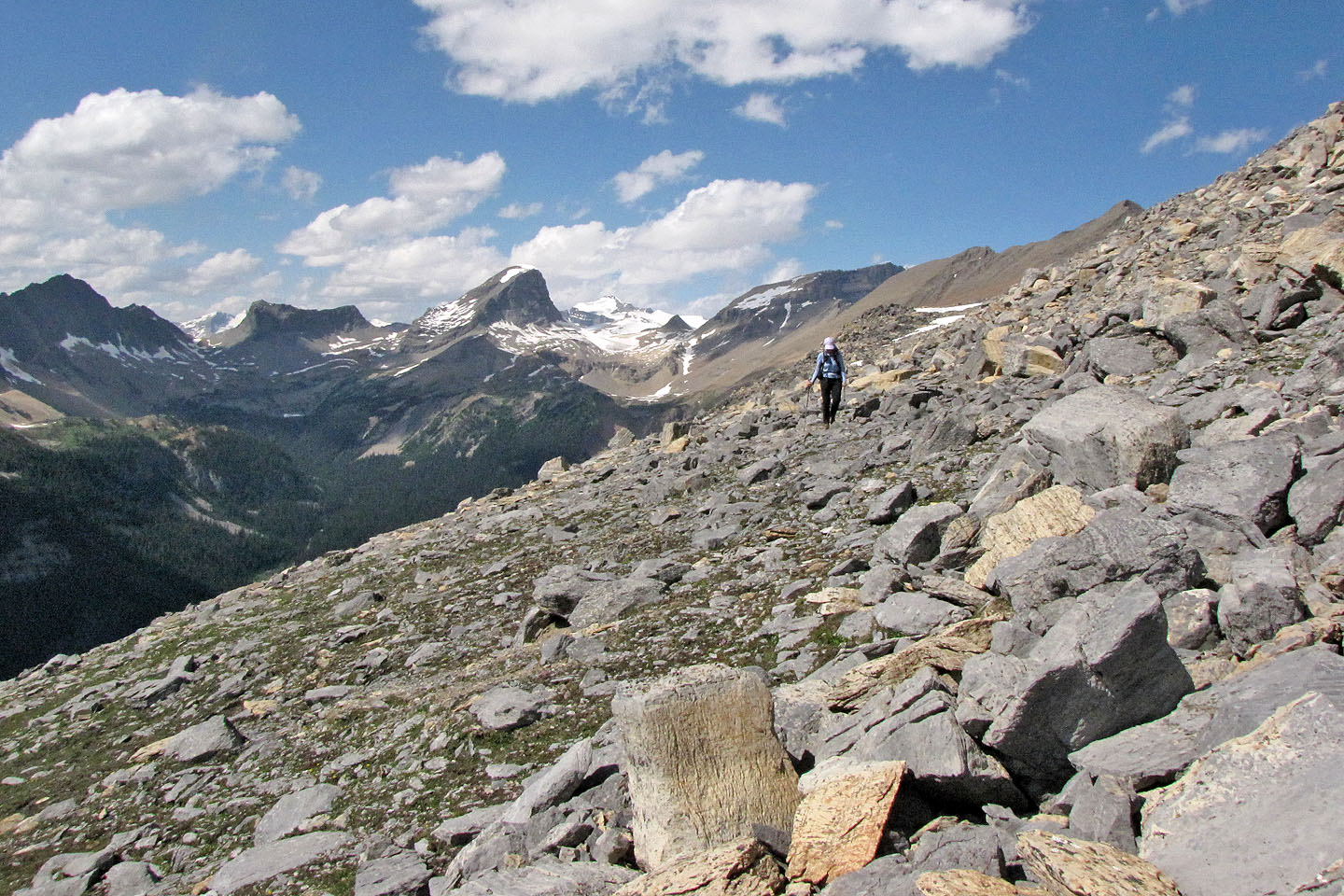
View from the North Ridge
Paget Peak and the North Ridge
Yoho National Park, B.C.
August 13, 2011
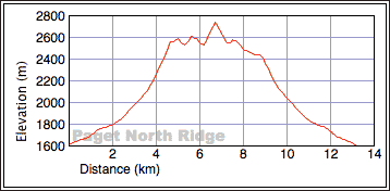
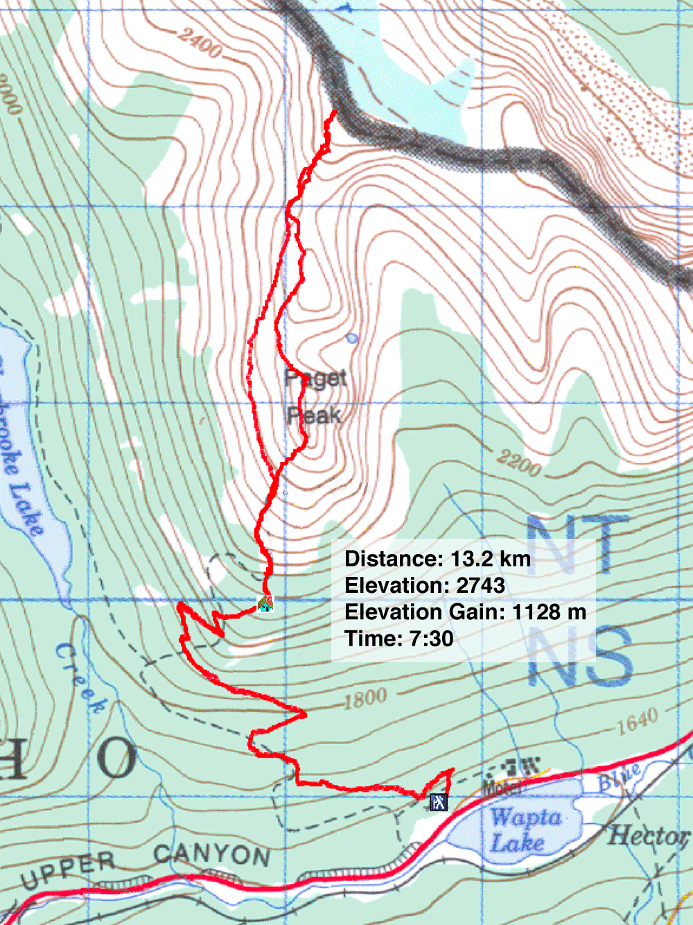
Distance: 13.2 km (8.2 mi)
Cumulative Elevation Gain: 1270 m (4167 ft)
When Dinah and I climbed Paget Peak nine years ago, we hadn't bothered going to the next high point. Now that time had dimmed our memory of the mountain, and we were curious about the views past Paget, we returned to follow Mike Potter's trip in Ridgewalks. His route encompasses both Paget Peak and the ridge running north, all the way to a perch overlooking Bath Glacier.
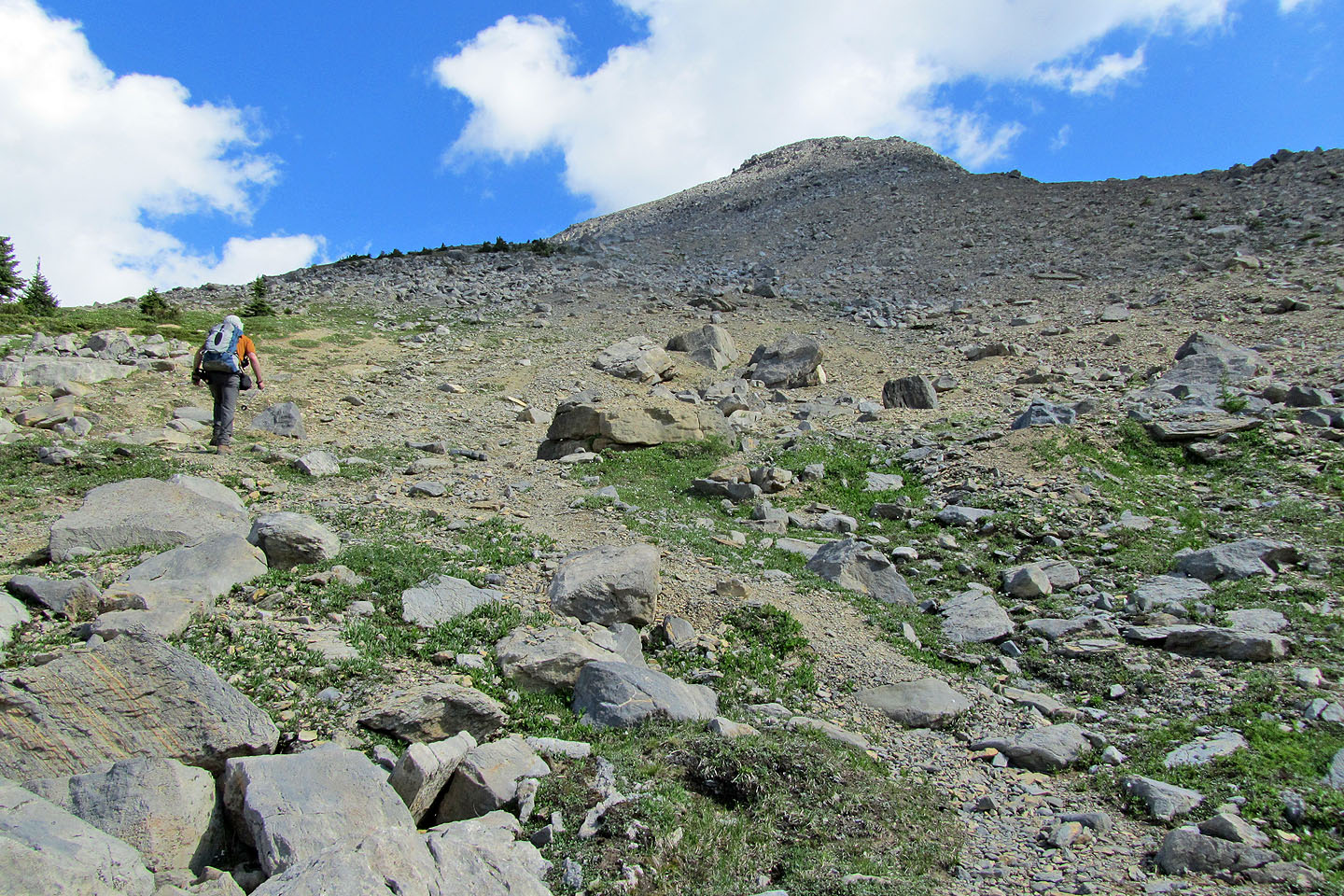
The trip began with the trail to Paget Peak. Actually, we followed the trail to the false summit south of Paget Peak, and we wondered how many hikers reached this point before turning back. The true summit is only a few minutes away. It lacks a discernible trail, but it has the summit register.
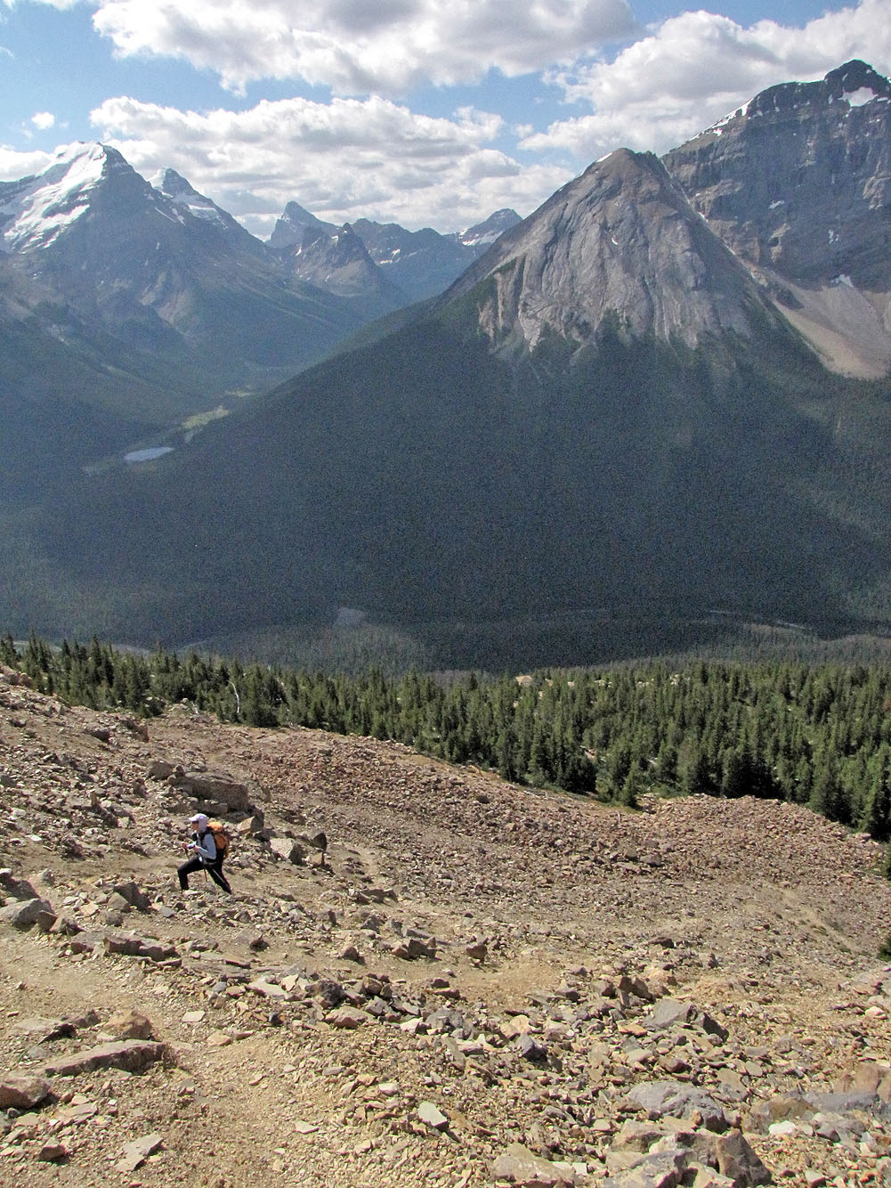
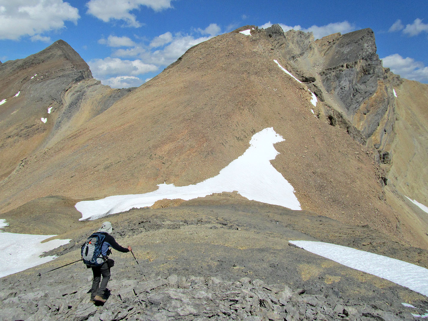
From Paget we continued north along the ridge, losing 50 m before ascending the next high point. Then we pushed on to our final destination, the North Ridge. After losing 70 m, we climbed the longest and steepest stretch of the trip to reach an unnamed high point, a point with far-ranging vistas hidden from view from Paget Peak.
When we turned back, we considered dropping down the west slopes to Sherbrooke Lake Trail, as Potter suggests, but it was such a fine day it would be a shame to leave the alpine views so soon. But neither were we enticed to retrace our steps back along the undulating ridge.
During our ascent, I had studied a bench on the west slope below the ridge. It appeared to be a fine way to return – and it was. After dropping down from the high point on the North Ridge, we hiked up the ridge a bit and then worked our way to the bench below the crest. Save for a couple of spots where we encountered a tumble of talus, we travelled on gentle terrain. The bench was fast, fun and easy. An hour after starting down from the North Ridge, we were back on the trail 200 m below Paget Peak. We then enjoyed a pleasant hike back to our car.
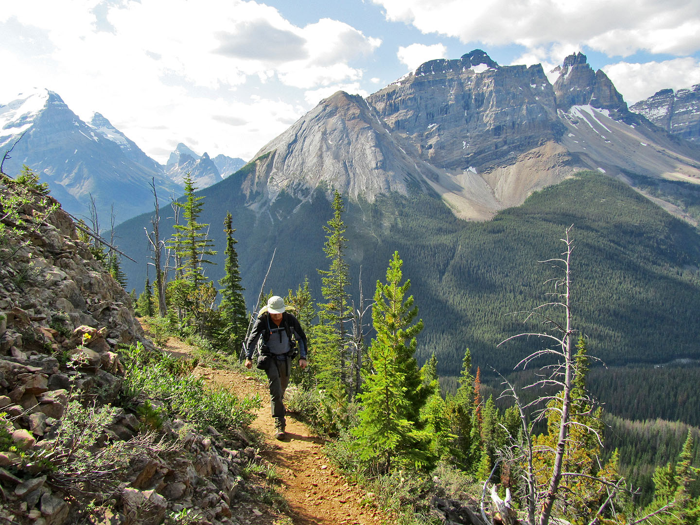
On the trail to Paget Peak
The dirt trail ends and the trail on rock begins
Looking back at the switchbacks
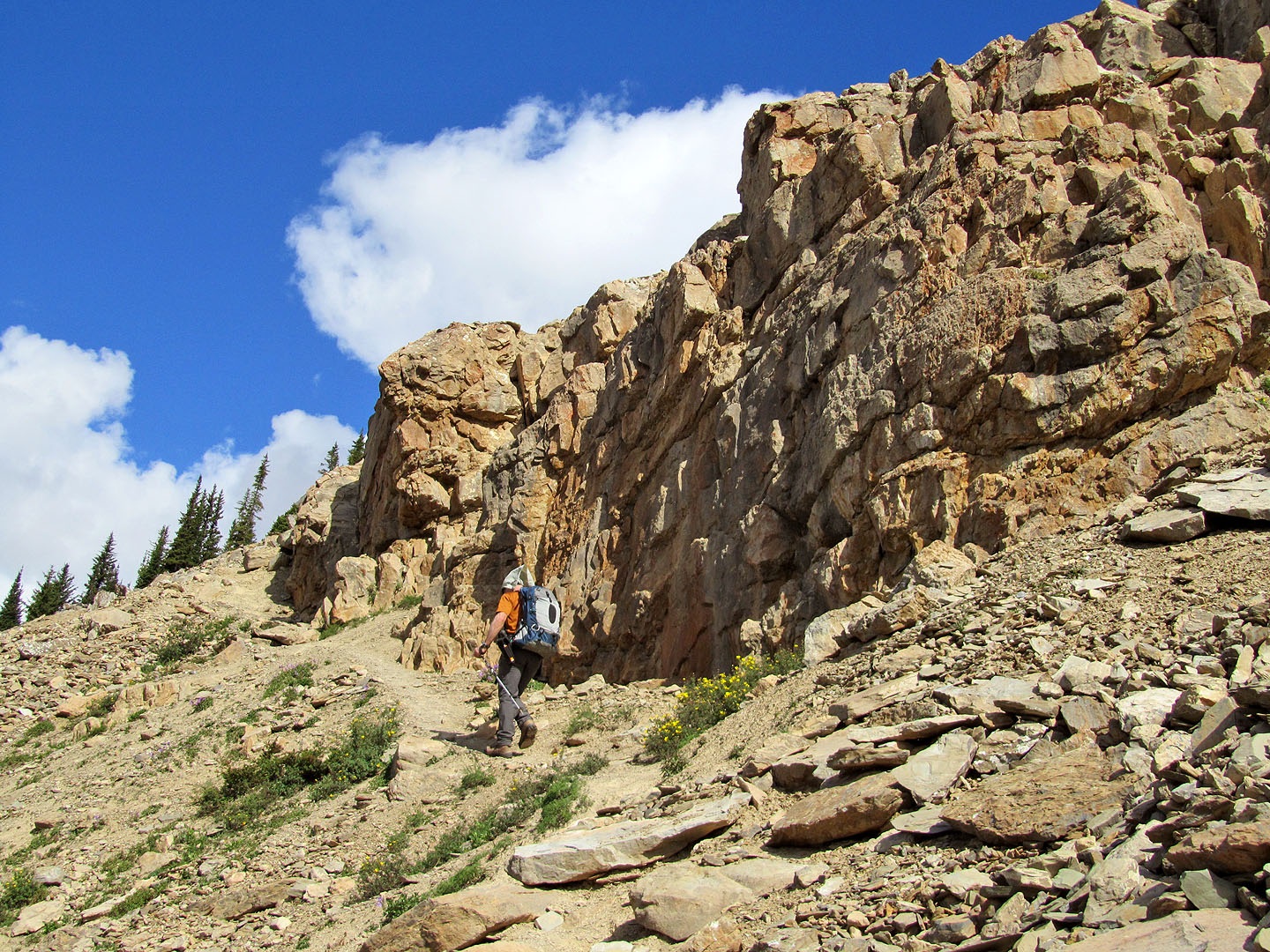
Trail follows alongside some cliffs
Mount Stephen rises above all else on the left
Cairns mark the ridge crest
The false summit (best to skirt left around it to the true summit)
The true summit of Paget Peak is ahead
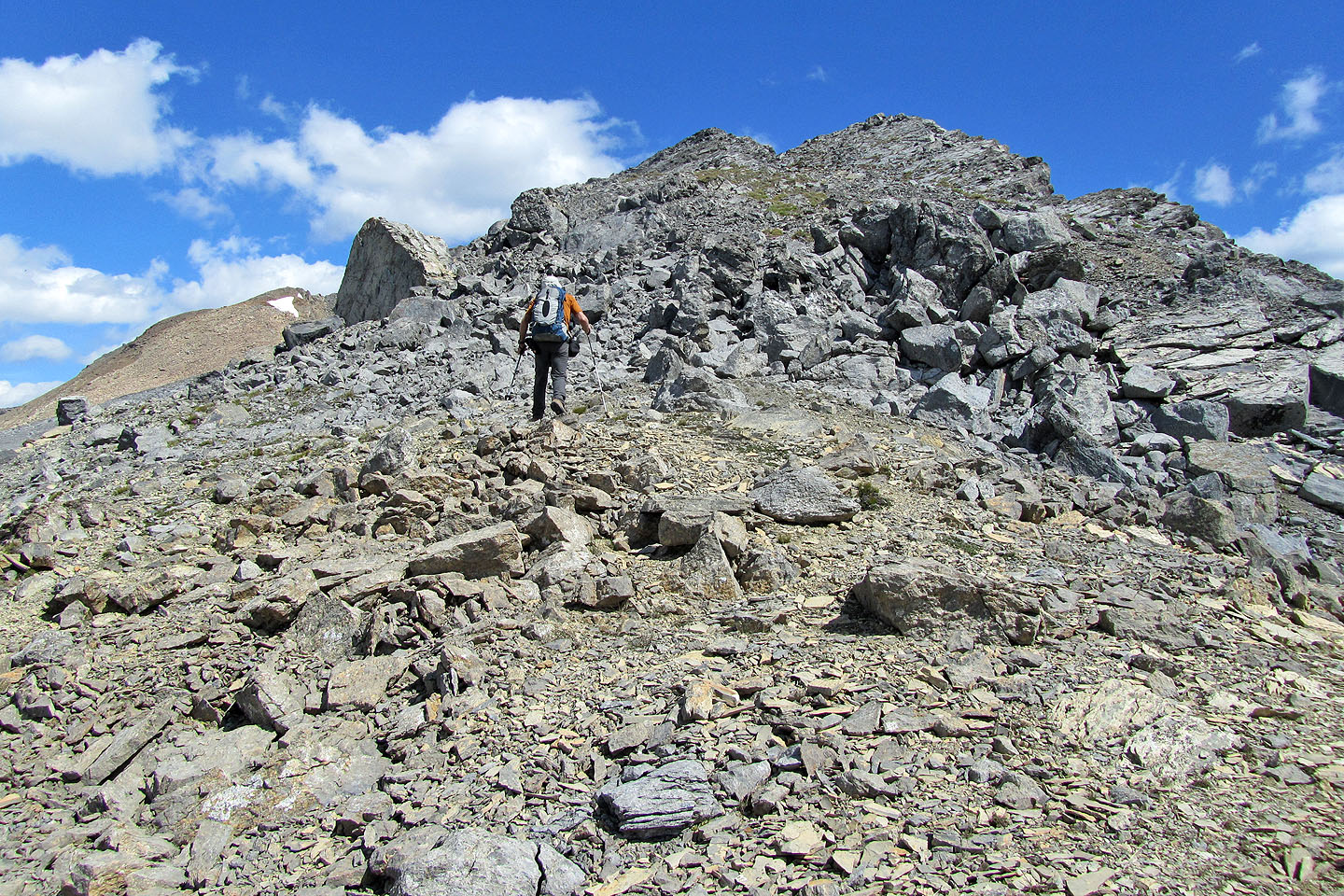
From the summit of Paget Peak we continued to the next high point
The cairn can be seen on the high point
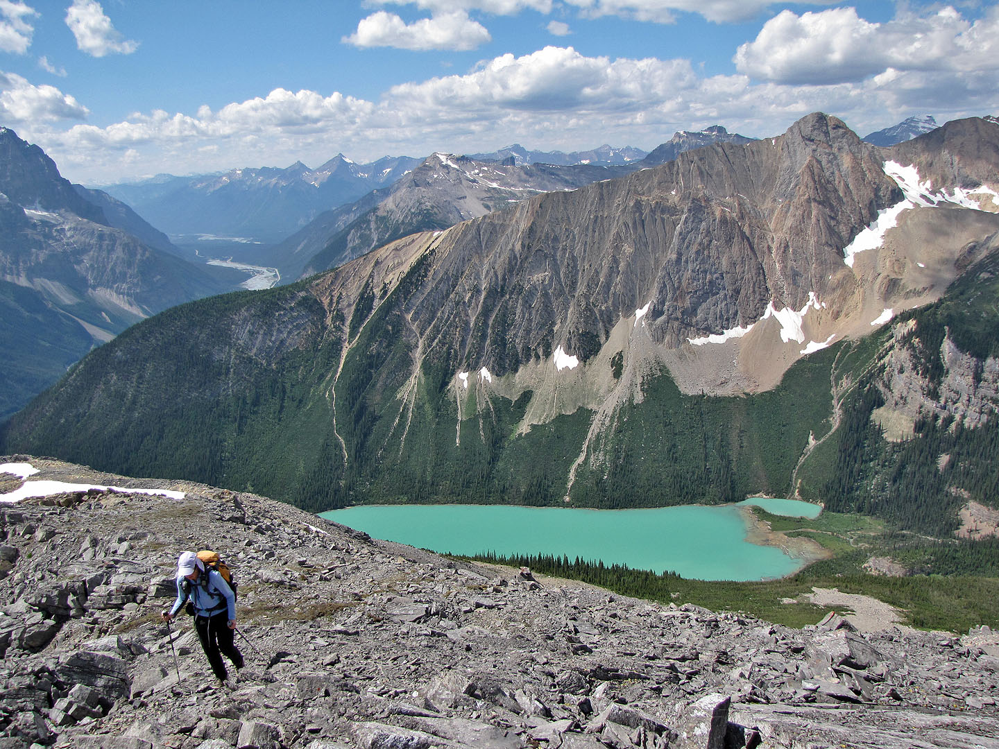
Mount Ogden and Sherbrooke Lake
On the high point near Paget Peak
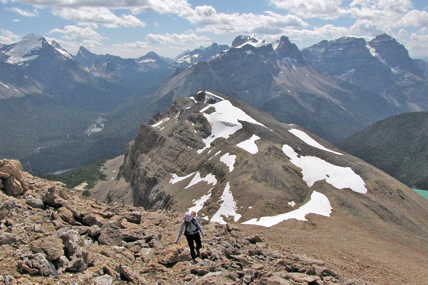
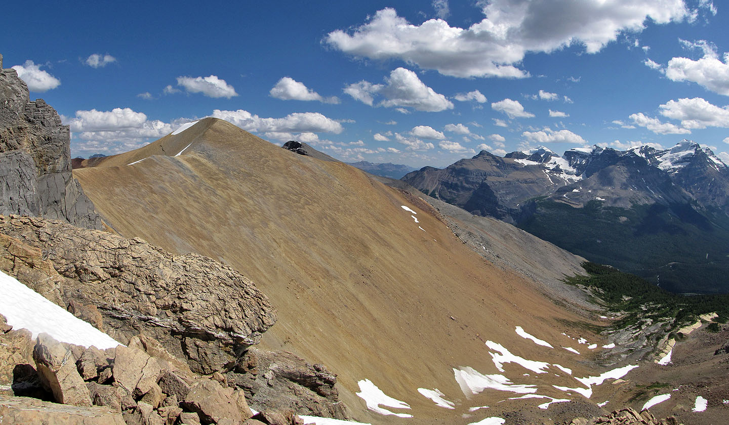
The scene from the high point a short distance after Paget Peak. We continued along the ridge
to ascent the North Ridge, the brown ridge on the right.
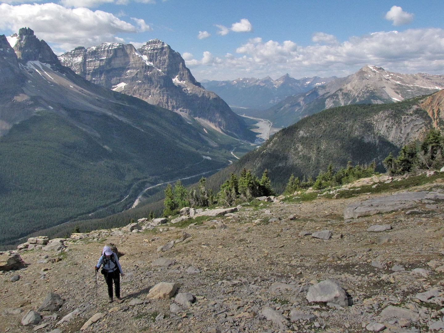
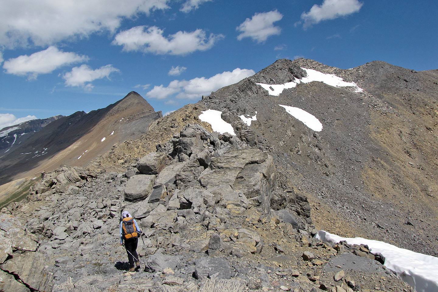
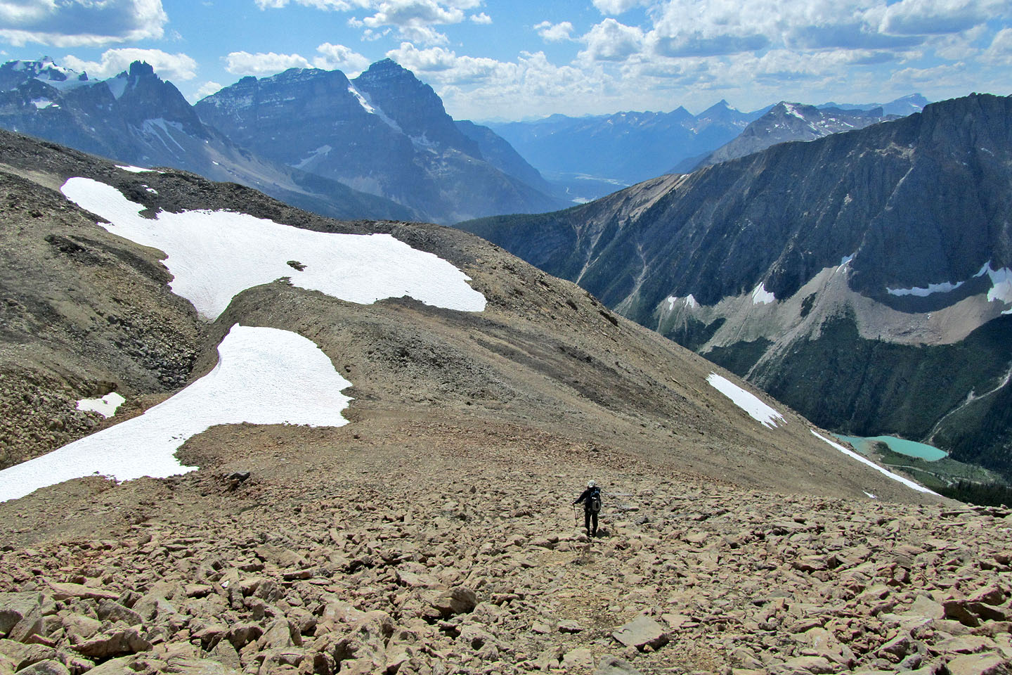
Our final destination is on the left
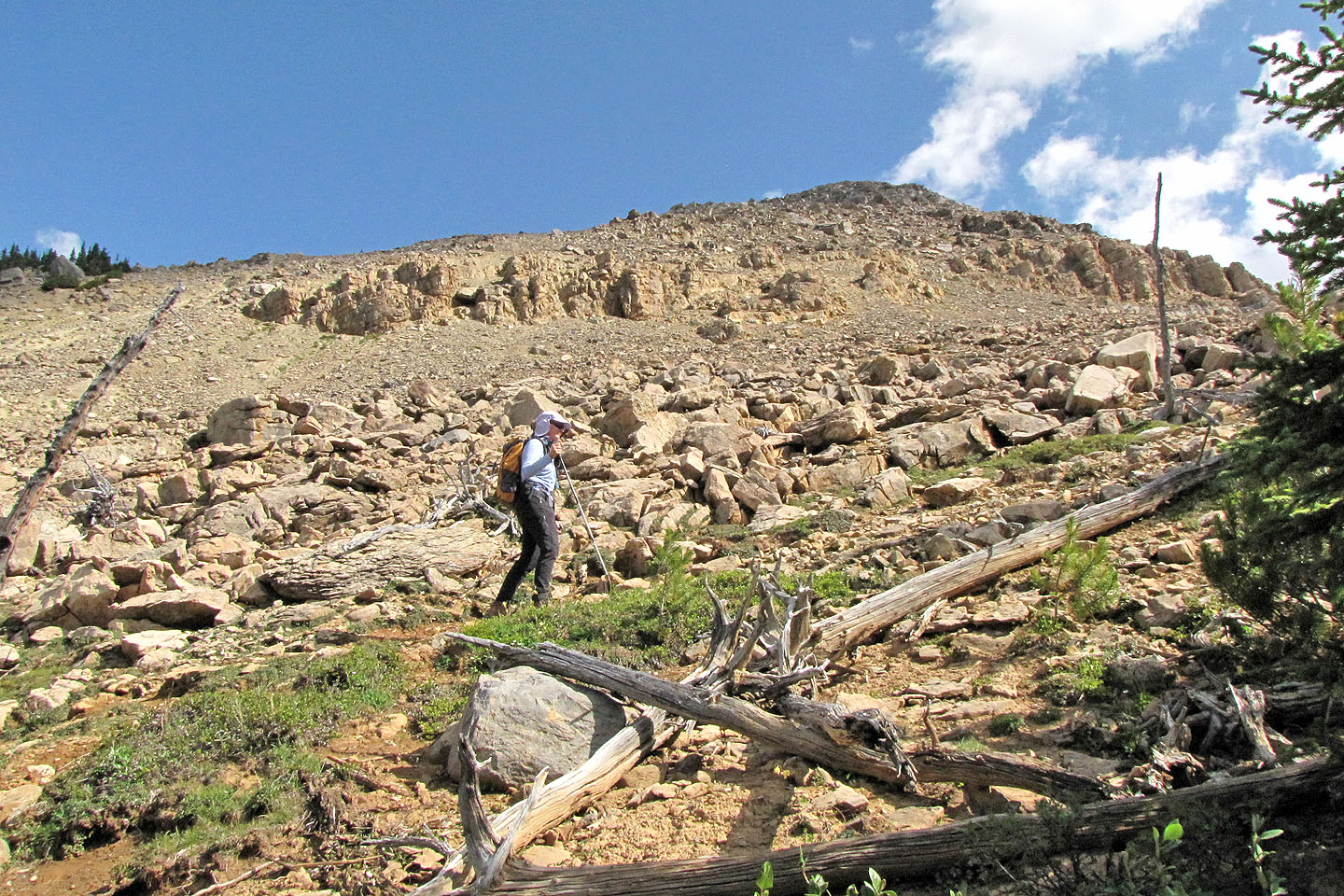
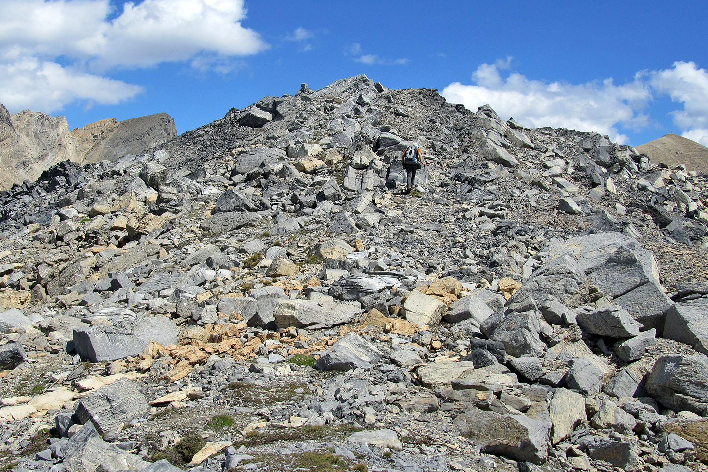
Losing elevation
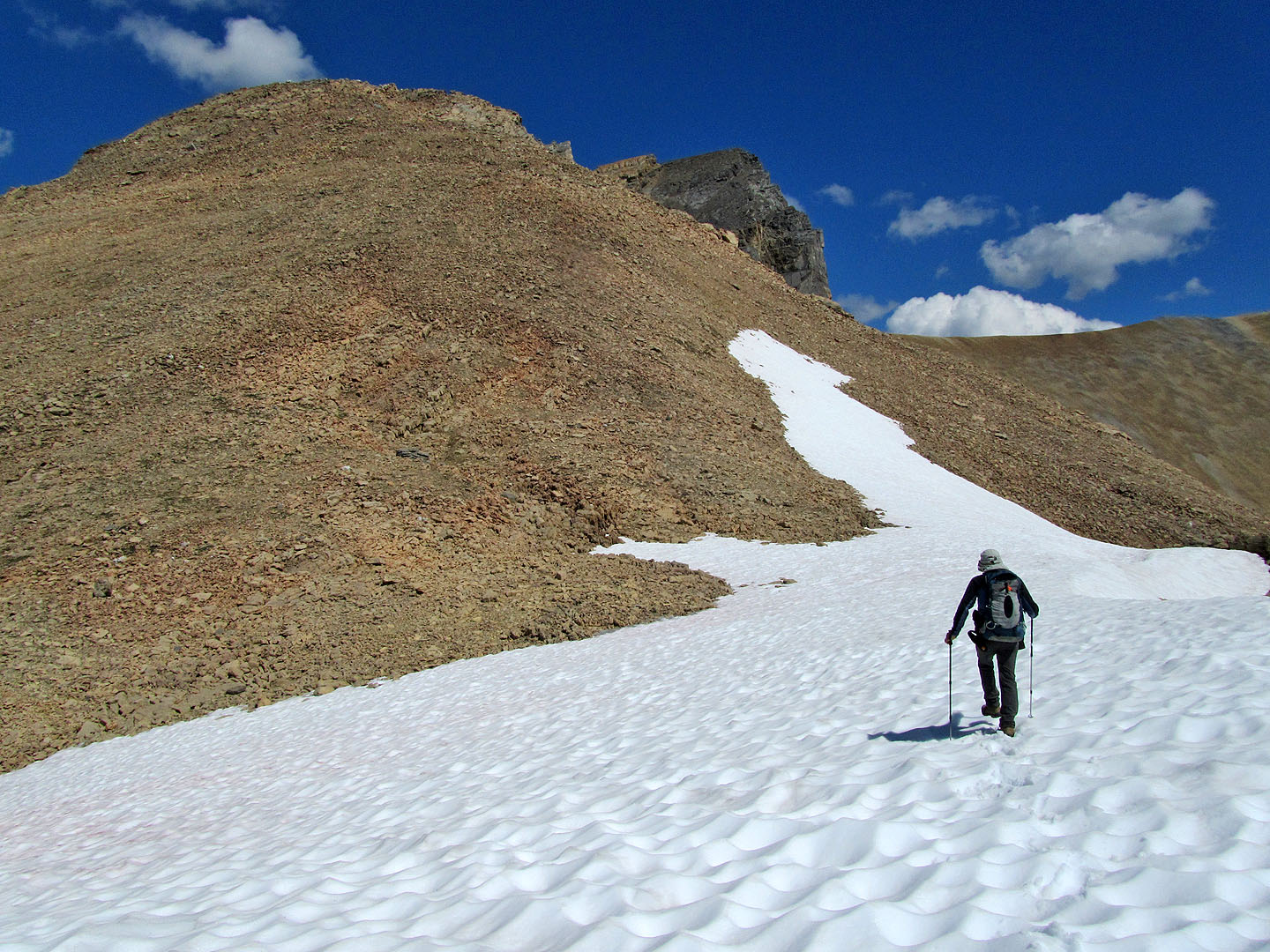
From here it took half an hour to reach the top
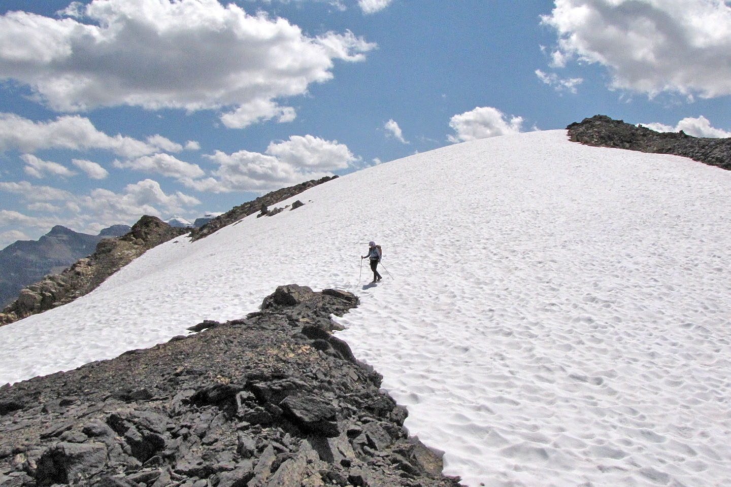
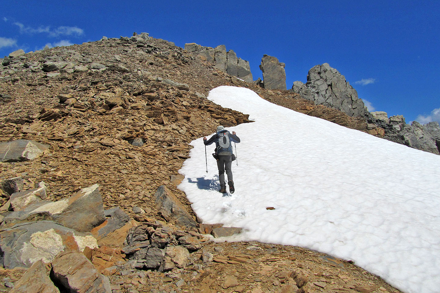
Dinah follows me across the snow
Nothing more than a steep hike
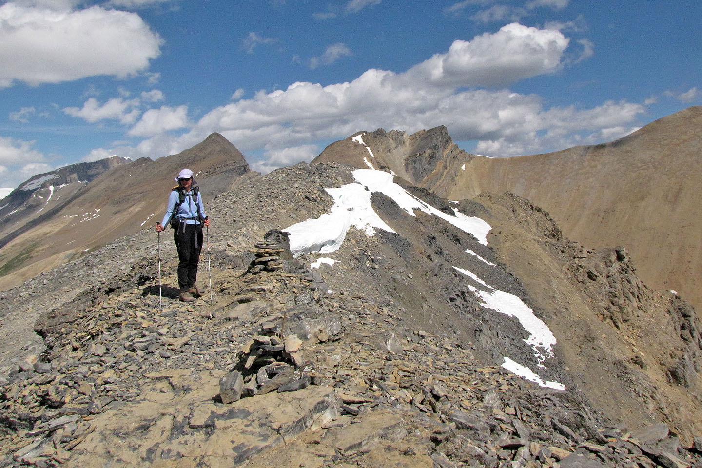
The cairn is discernible at the top
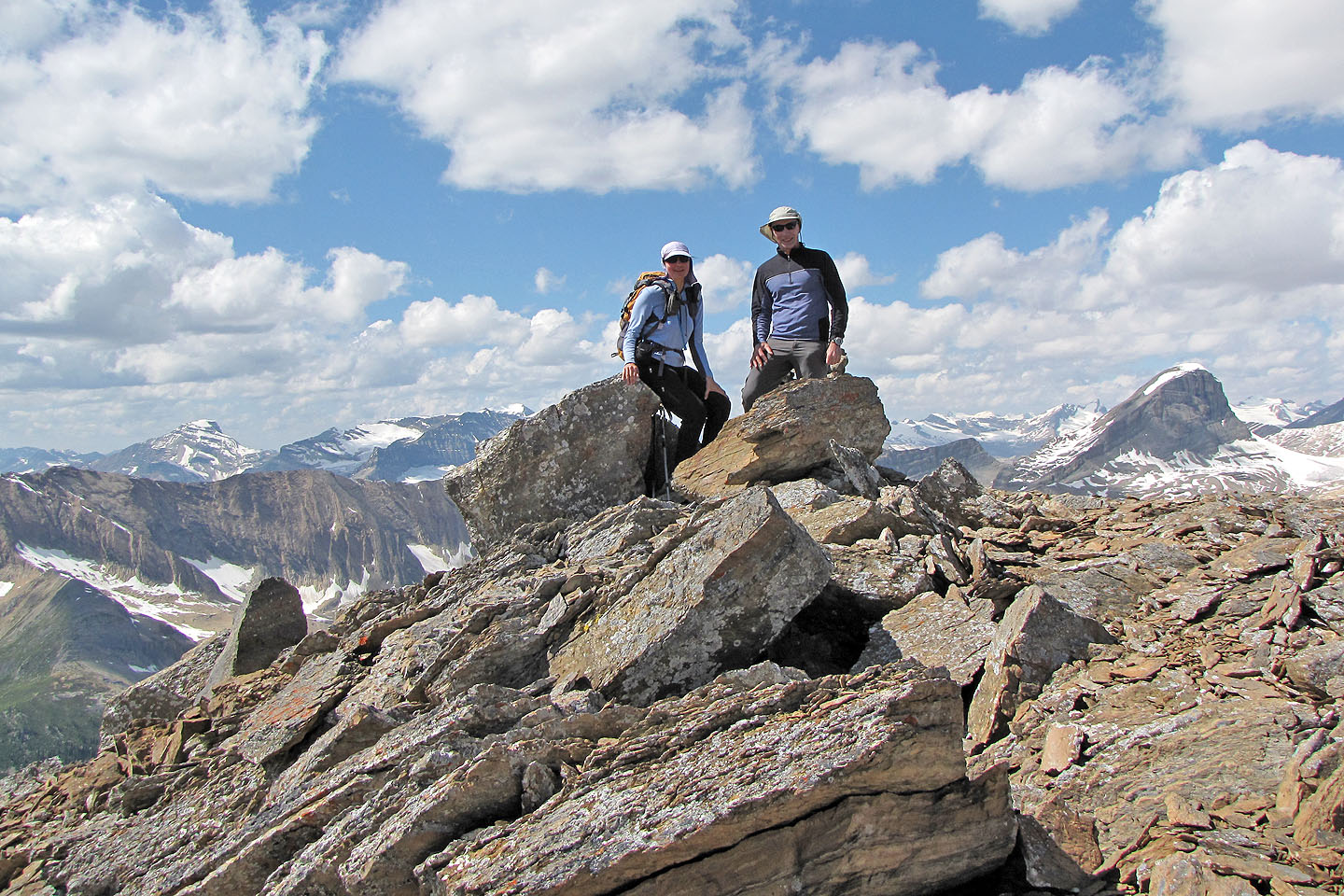
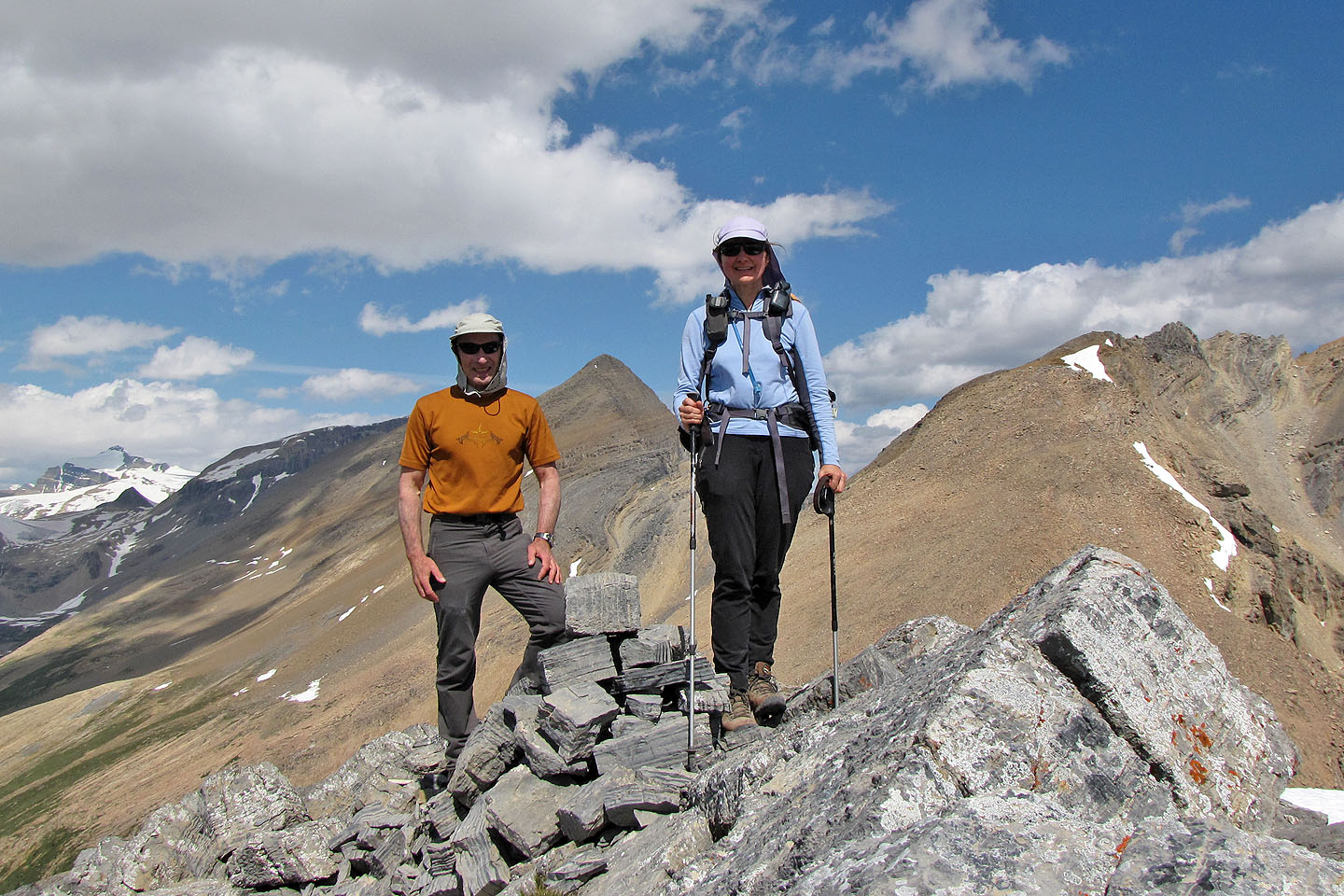
On the top of the North Ridge
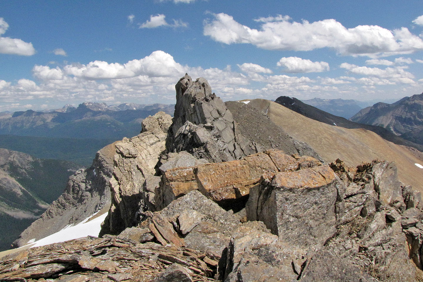
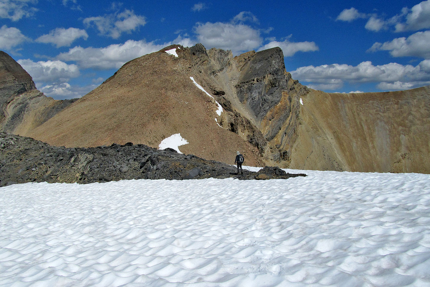
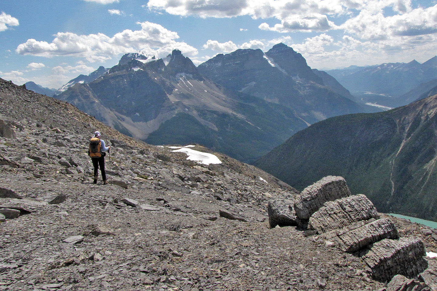
For those who dare, there's a higher summit with a cairn
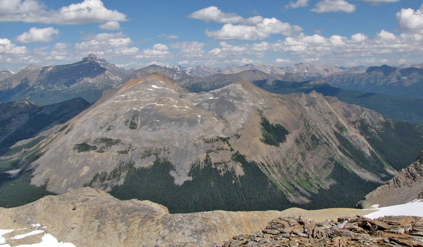
Colourful unnamed peak and the top of Mount Bosworth
After coming down, we headed to the bench ahead
The way along the bench is obvious
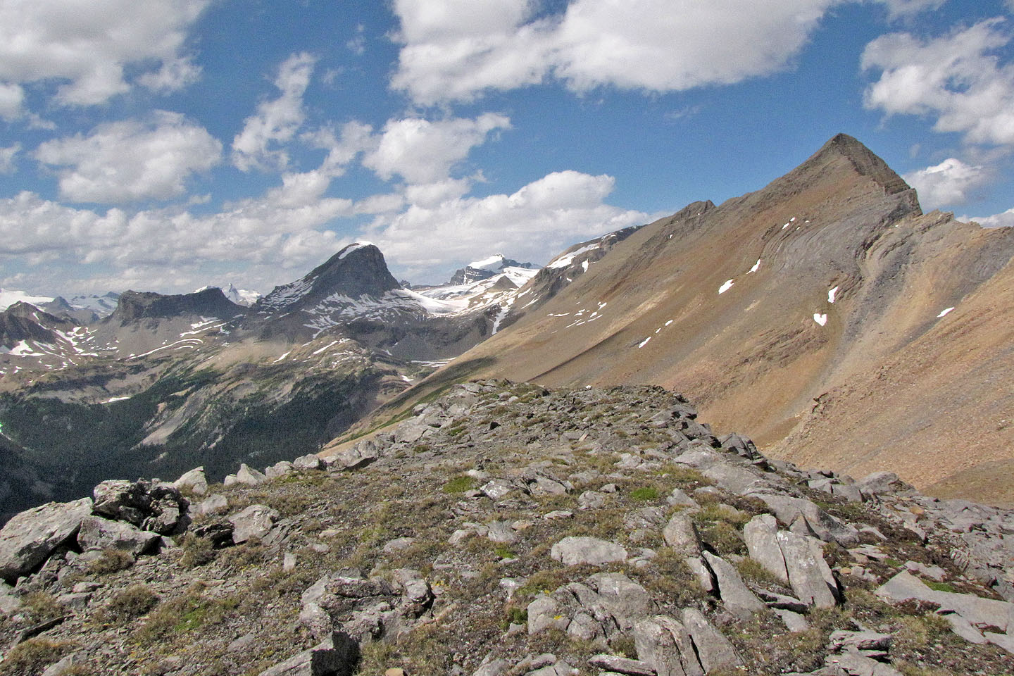
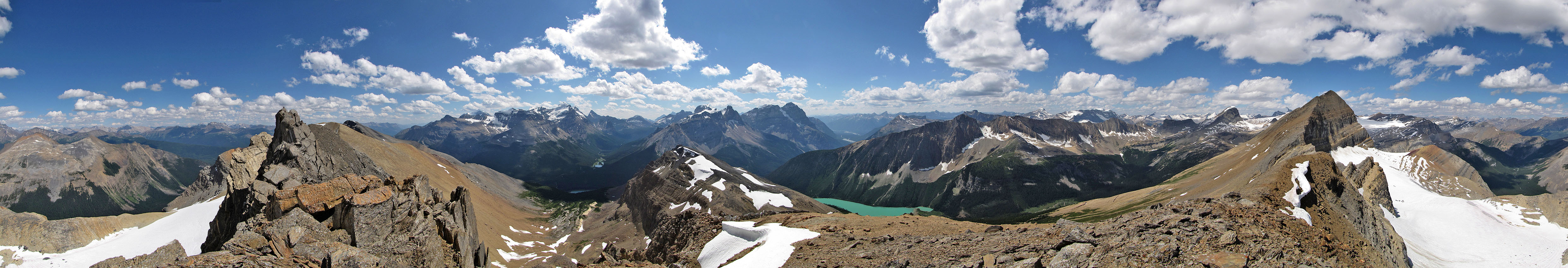
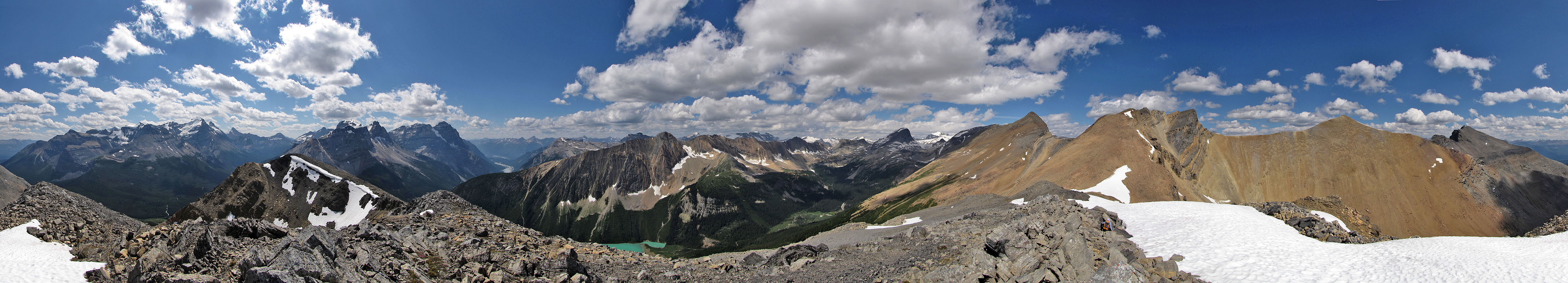
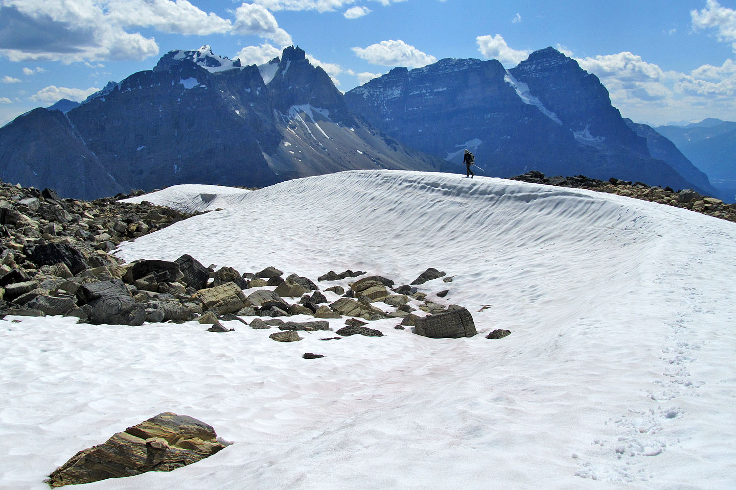
Looking northwest at Mount Balfour (mouse over to zoom in)
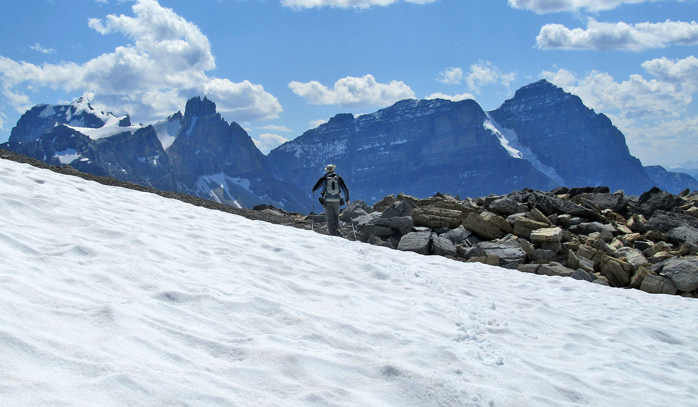
Cathedral Mountain and Cathedral Crags on the left
We took advantage of the snow to hasten our descent
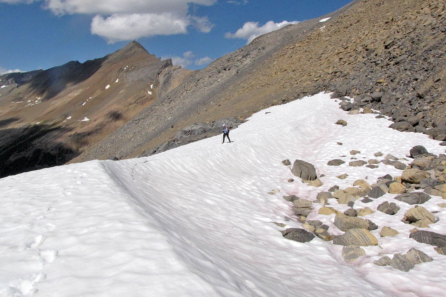
Dinah follows
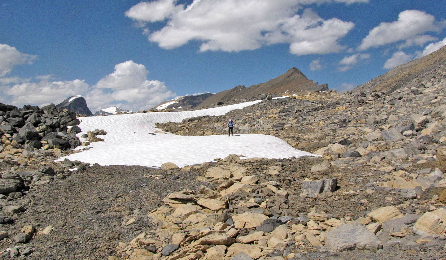
More easy terrain
In a few minutes we'll be back on the trail
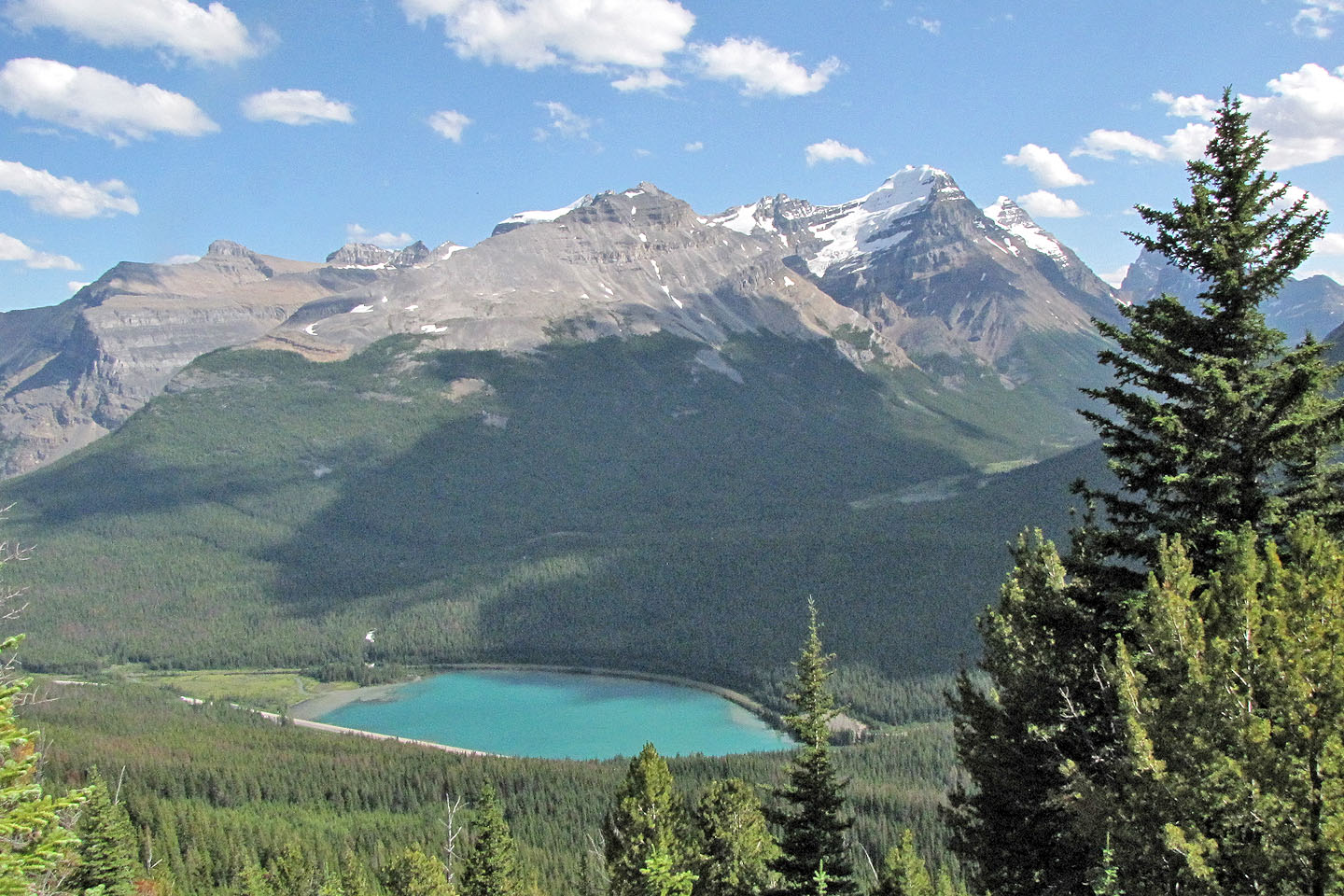
Looking down at Wapta Lake and Highway 1. Narao Peak in the background.
82 N/8 Lake Louise