bobspirko.ca | Home | Canada Trips | US Trips | Hiking | Snowshoeing | MAP | About
Mount Fullerton
Kananaskis, Alberta
June 30, 2003
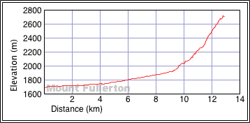
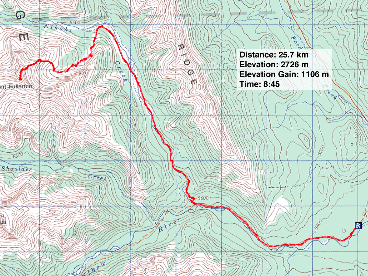
Distance: 25.7 km (16.0 mi)
Cumulative Elevation Gain: 1120 m (3675 ft)
To reach Mount Fullerton, walk or bike up Elbow trail, hike up Nihahi Creek and then ascend the northeast ridge. Dinah and I decided to walk up the road, which compared with hiking up Nihahi Creek, was pleasant and quick; we were glad to reach the drainage that leads to the ascent ridge. We hiked well up the drainage before finding a good spot to gain the ridge on our right. Once on the ridge, the climb to the summit was straightforward and interesting.
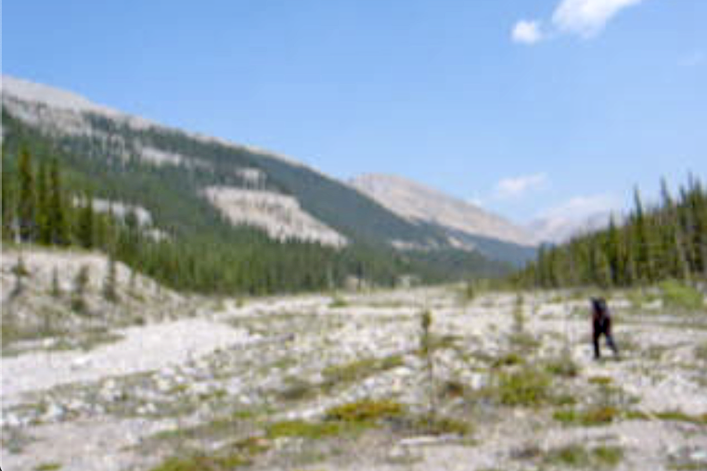
Hiking up Nihahi Creek
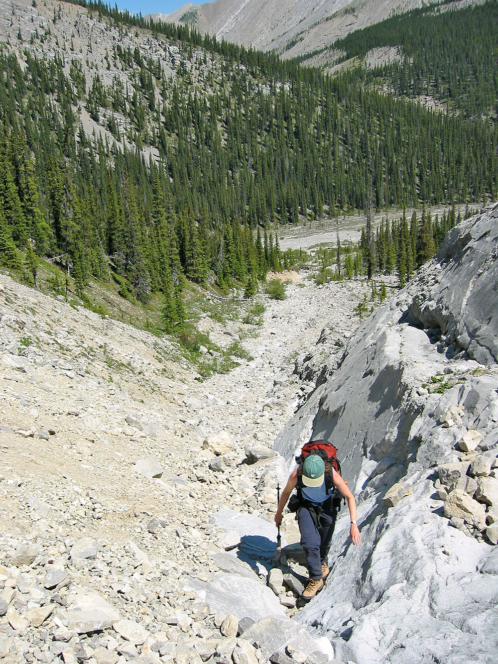
Going up the gully after leaving Nihahi Creek
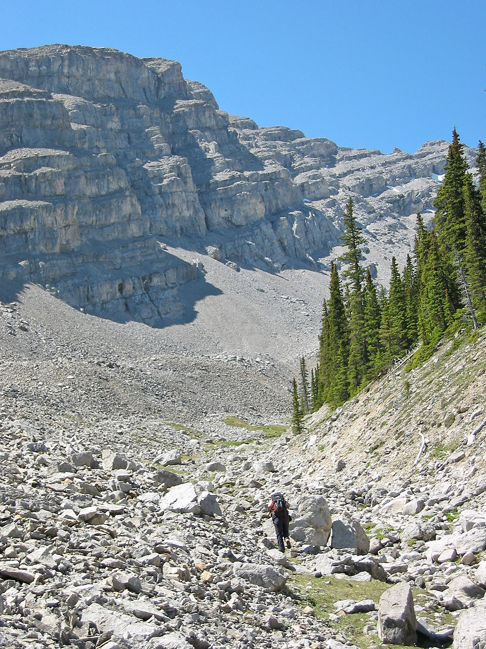
View up the drainage
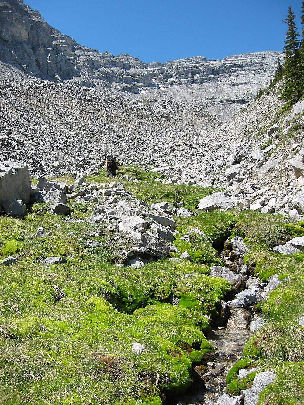
I was surprised to find running water here
View back down the drainage
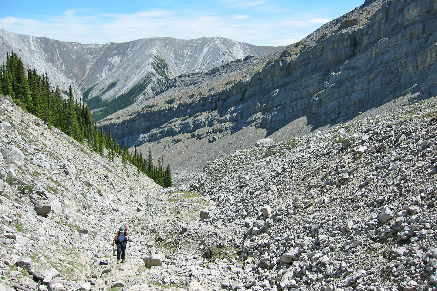
Heading to the ridge after leaving the drainage
The boulders are welcome relief from the plod up the ridge
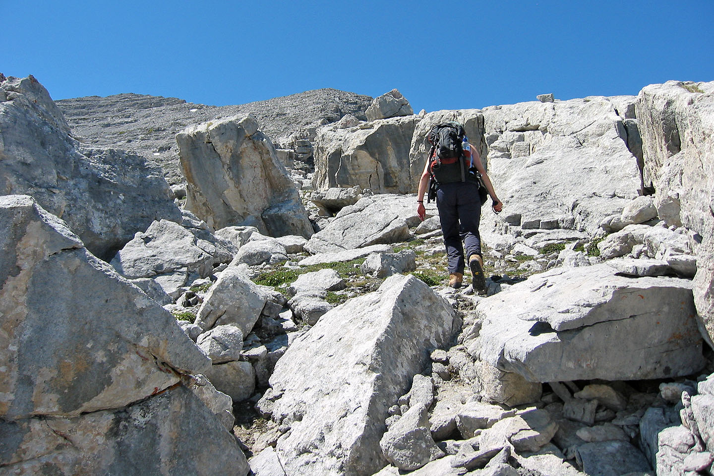
Boulders can often be avoided
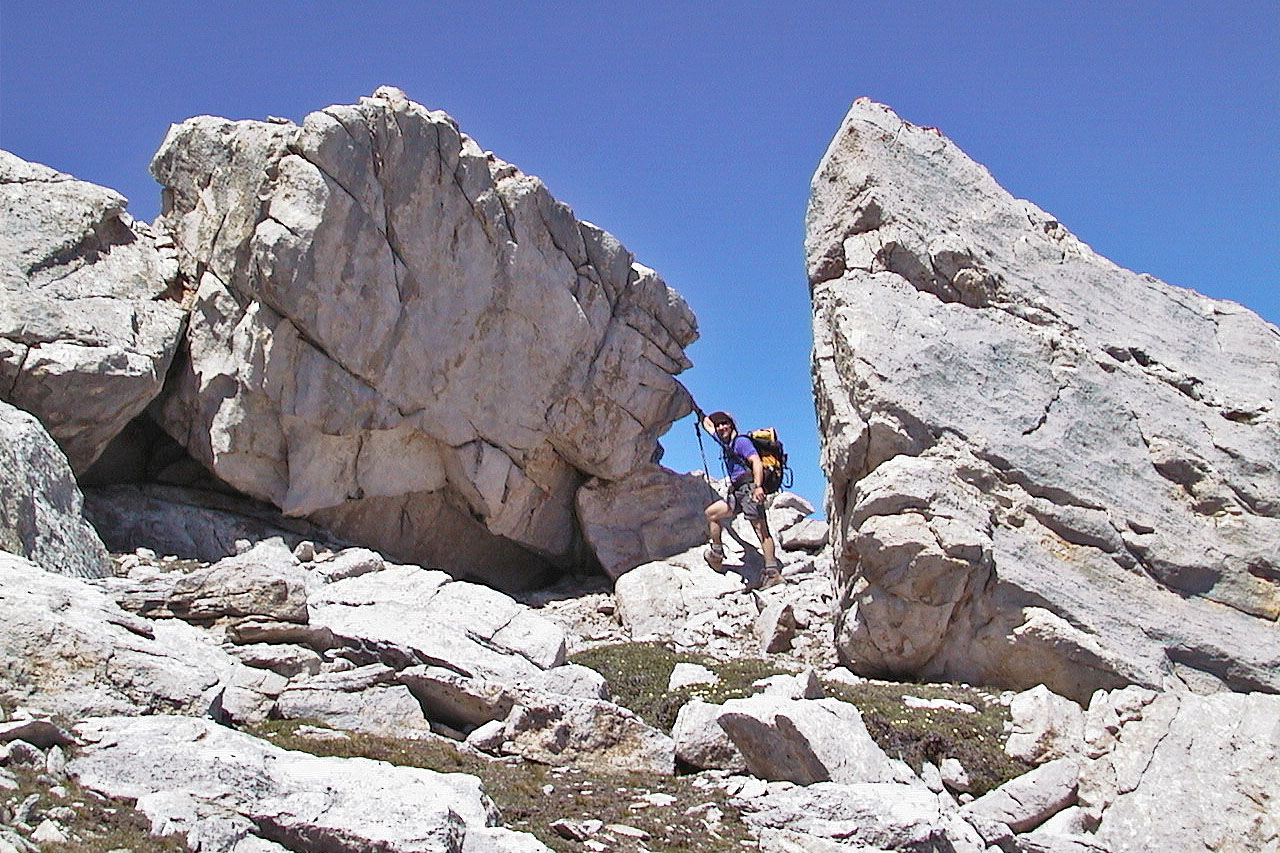
We also did some easy scrambling
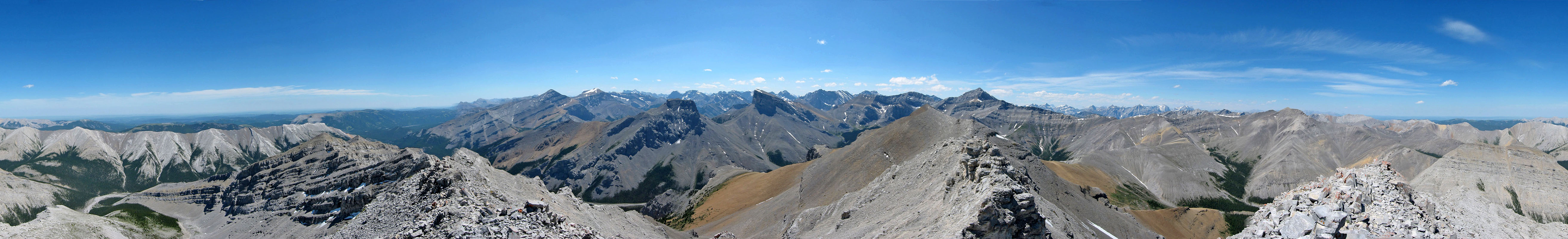
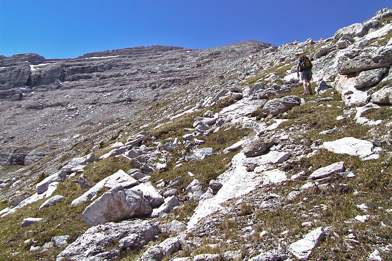
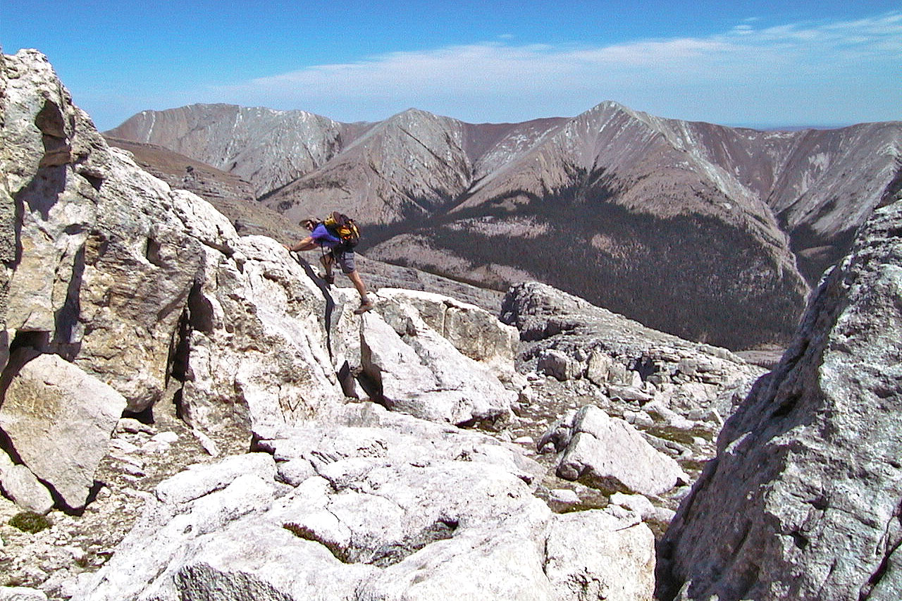
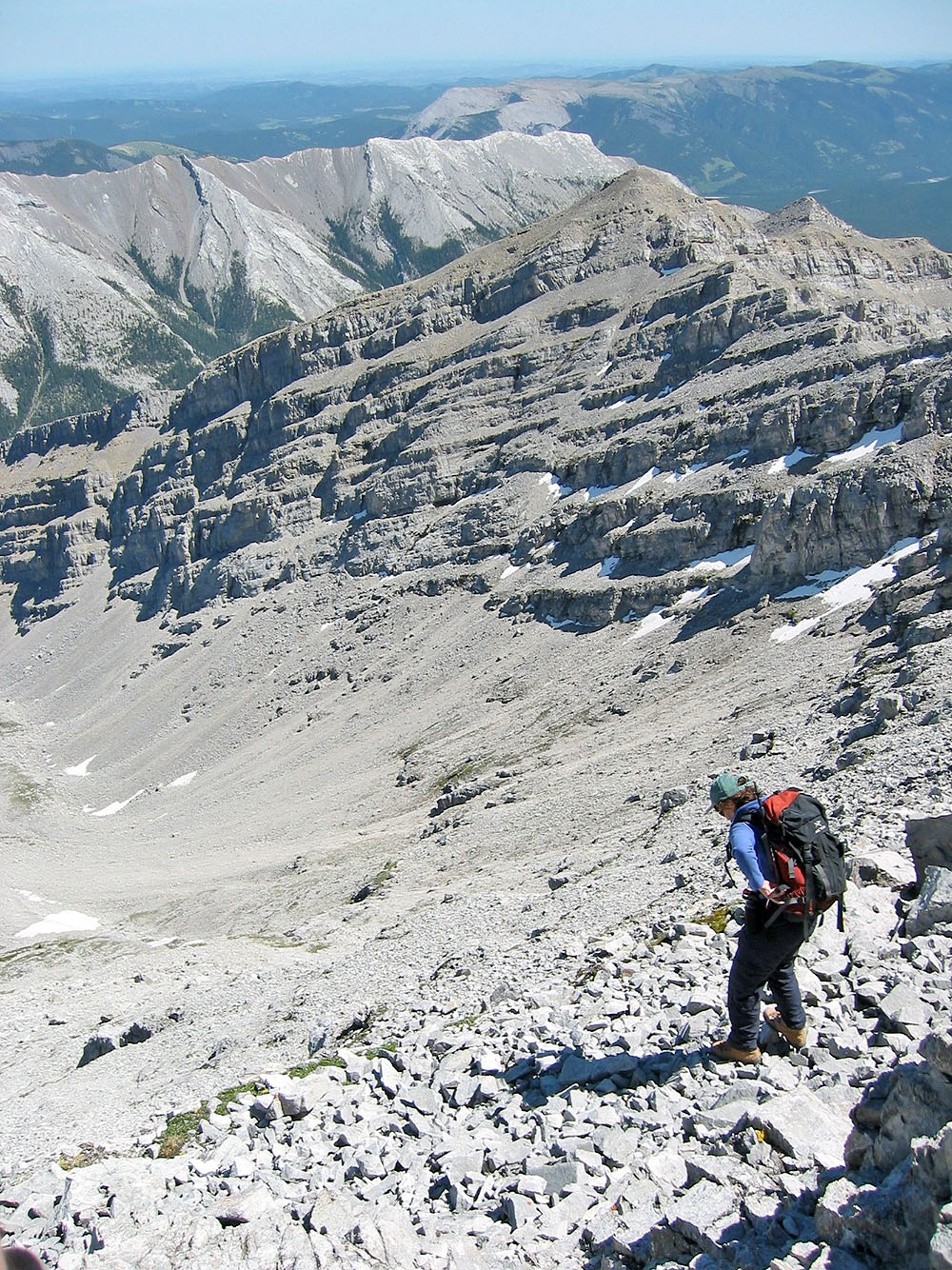
 Typical travel along the ridge
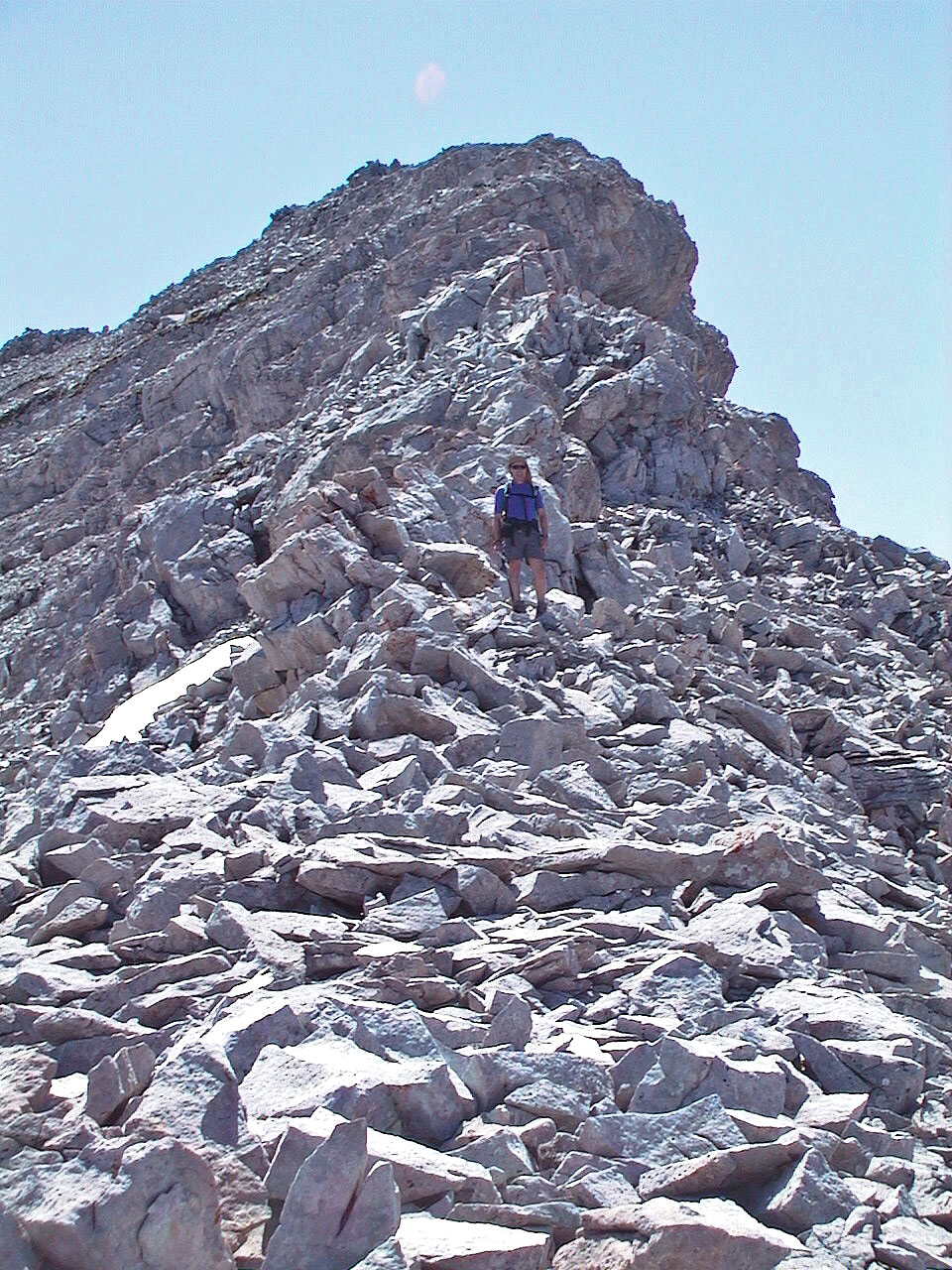
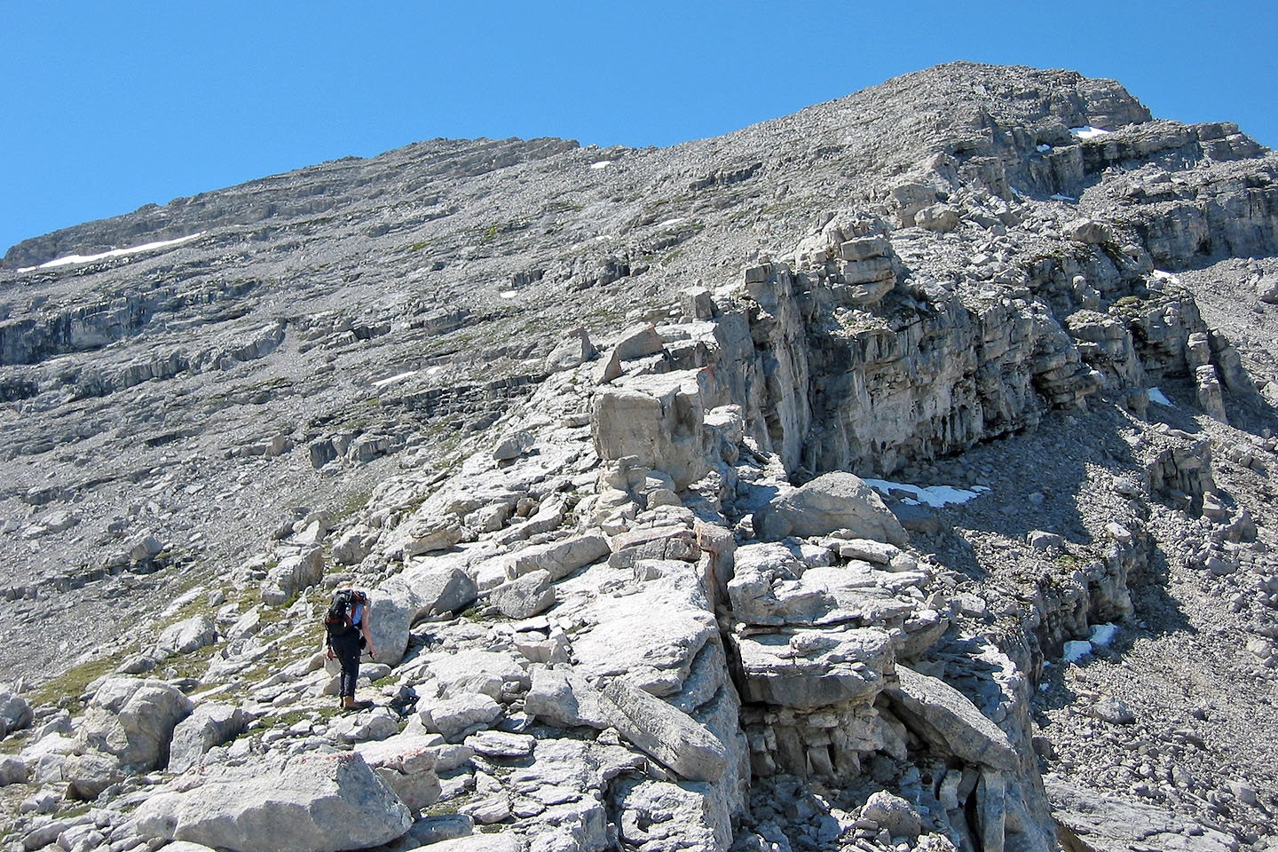
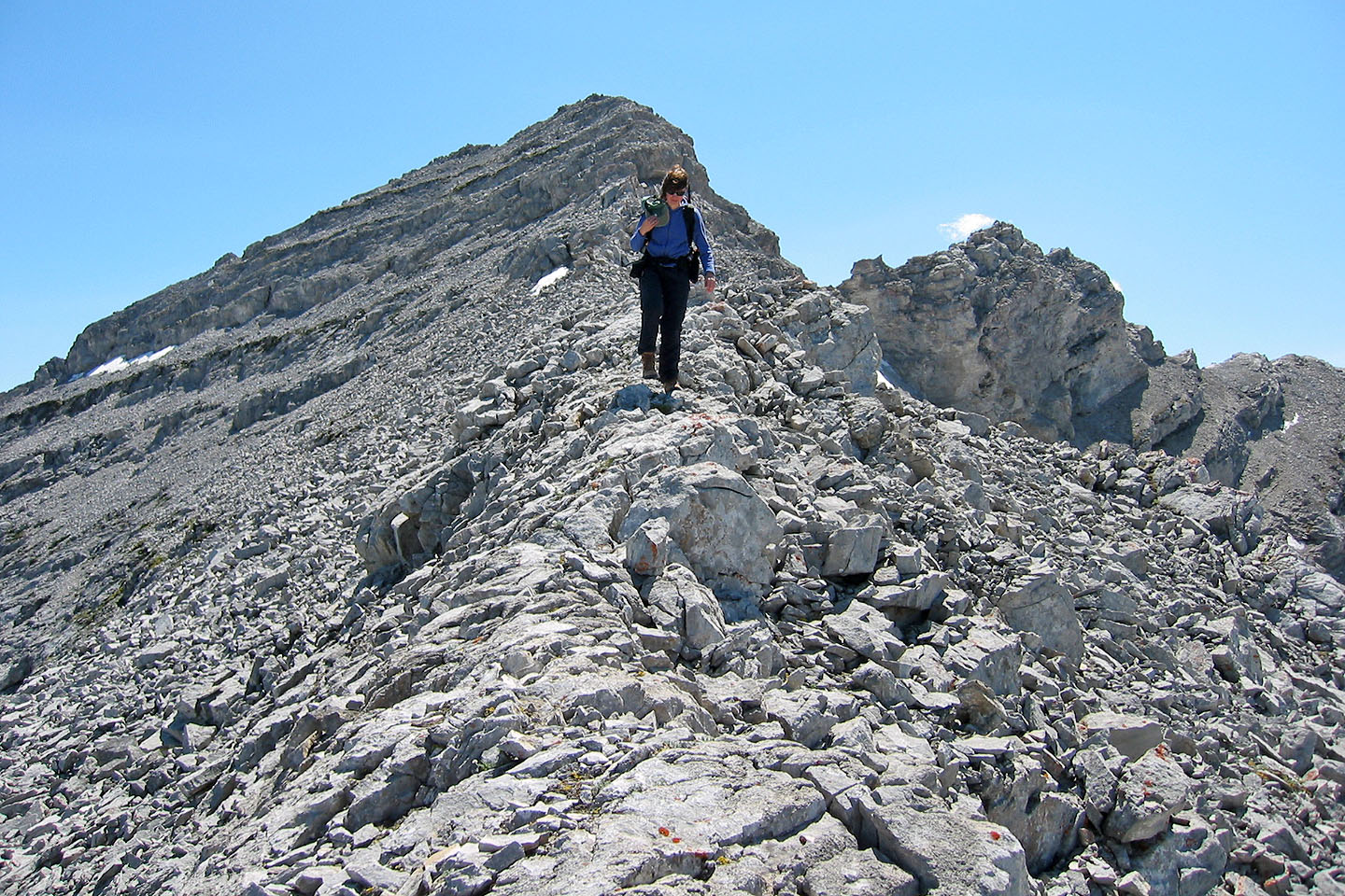
Nearing the summit
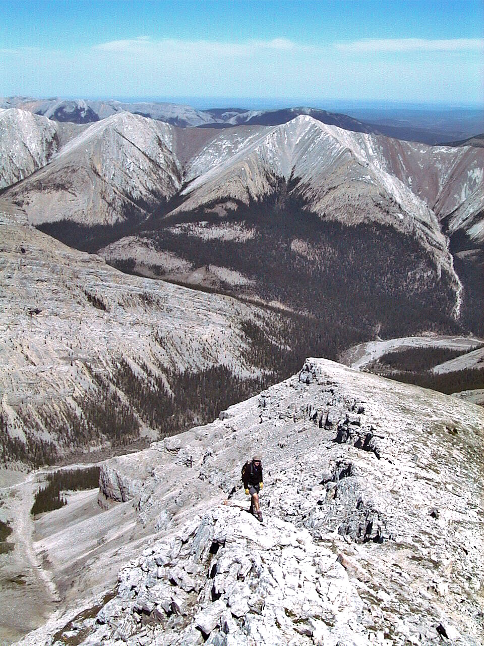
Behind us is Nihahi Ridge
On the summit ridge
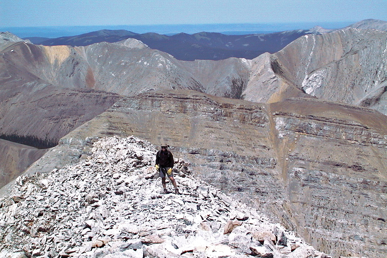
Looking back at the southeast ridge from the summit
 Descending from the summit
 82 J/15 Bragg Creek