bobspirko.ca | Home | Canada Trips | US Trips | Hiking | Snowshoeing | MAP | About
Ha Ling Peak
Kananaskis, Alberta
July 6, 2020
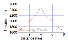
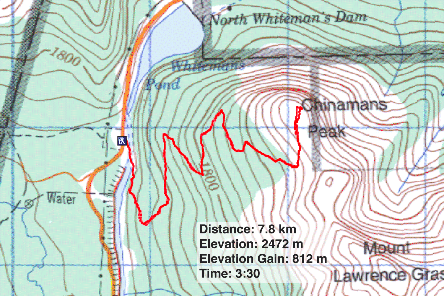
Distance: 7.8 km (4.8 mi)
Cumulative Elevation Gain: 840 m (2756 ft)
Ever since the trail for Ha Ling Peak was overhauled in 2019, I've been curious to see it. Costing $850,000, the result is a safer, easier trail that protects the environment around it. The project also added a viewpoint for the East End of Rundle. I've hiked Ha Ling Peak many times, but this time would be truly different.
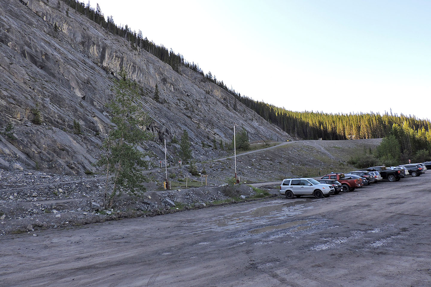
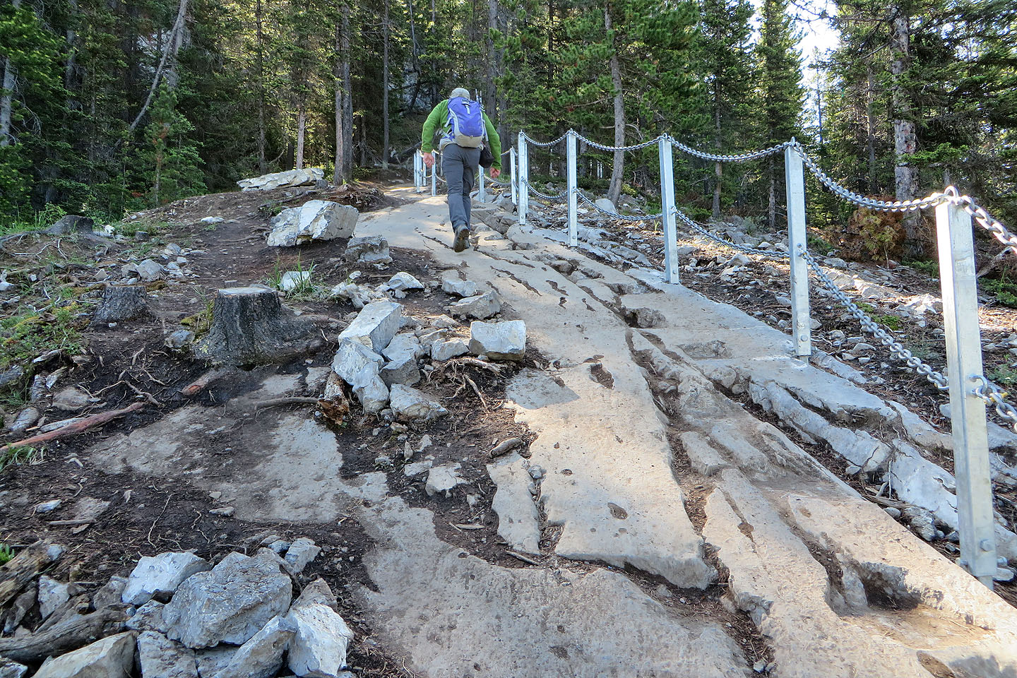
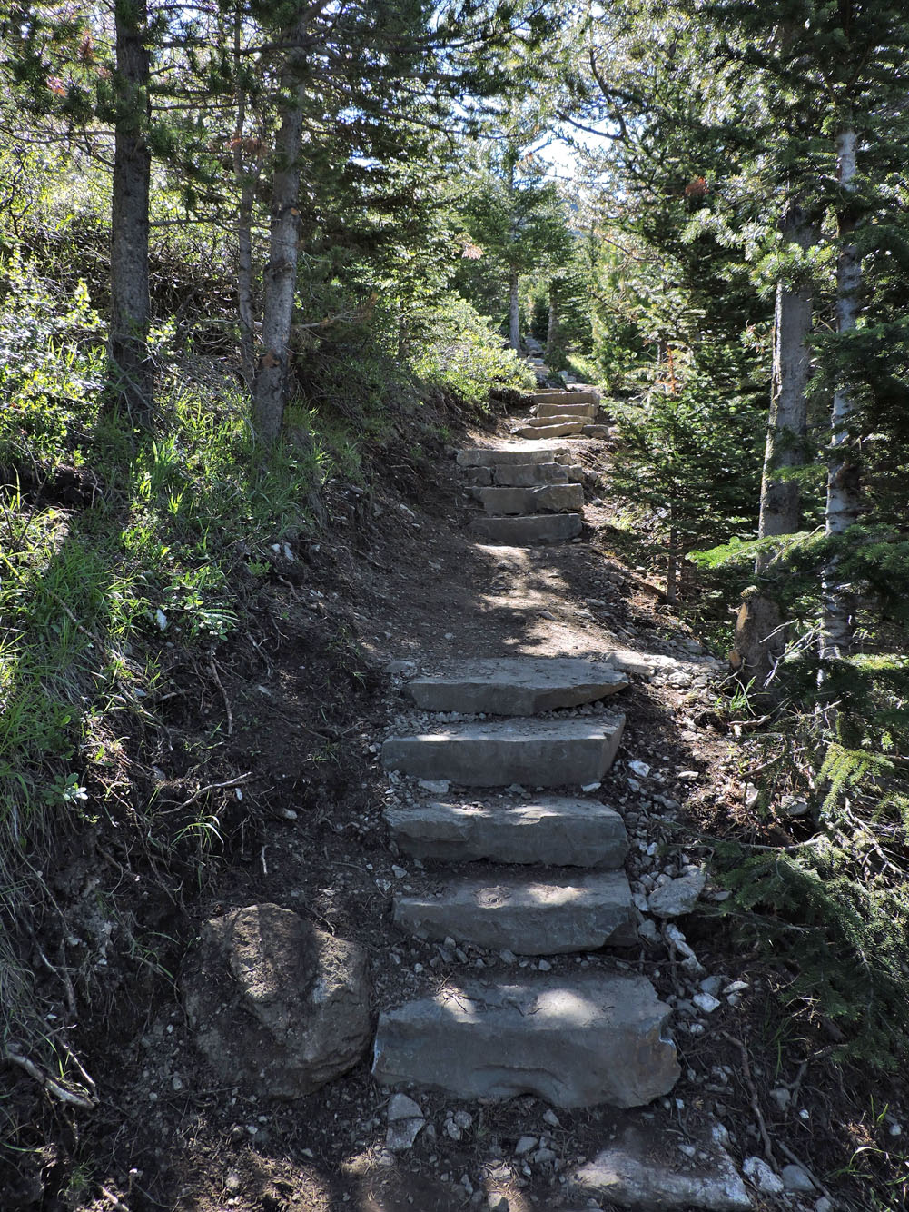
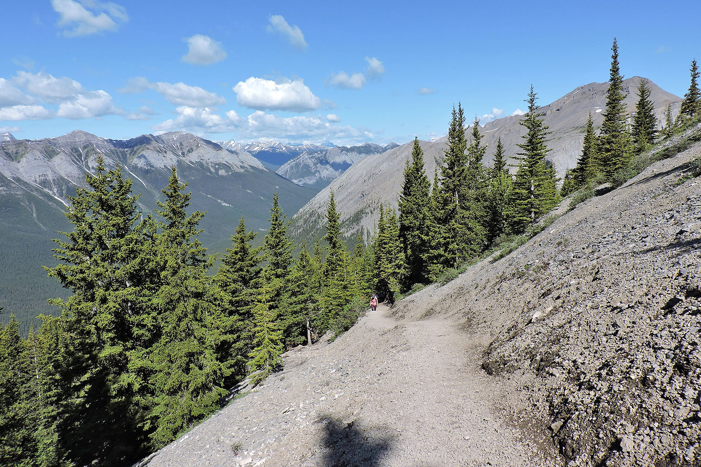
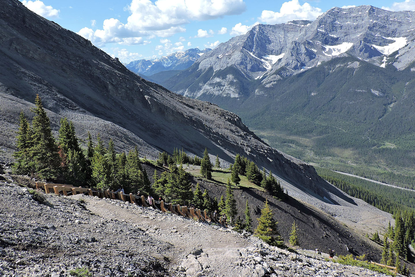
There was ample parking when Dinah and I arrived shortly after 9:00 am on a weekday (on our return, the huge parking lot was full with another 40 cars parked on the roadside). We crossed the road and started up the trail. As we hiked, we marvelled at the considerable work done on the trail. Below the treeline, the upgrade lengthened switchbacks, added stone steps and handrails, and positioned flat-topped boulders along the trail to act as resting benches. Where the trail ran over slabs of smooth rock, steps were chiselled in to offer better purchase. Above the treeline, cable ladders (they looked like stairs to me) assisted steep grades. But an improved trail climbing up 800-metres can only do so much; some hikers ran out of energy before reaching the summit.
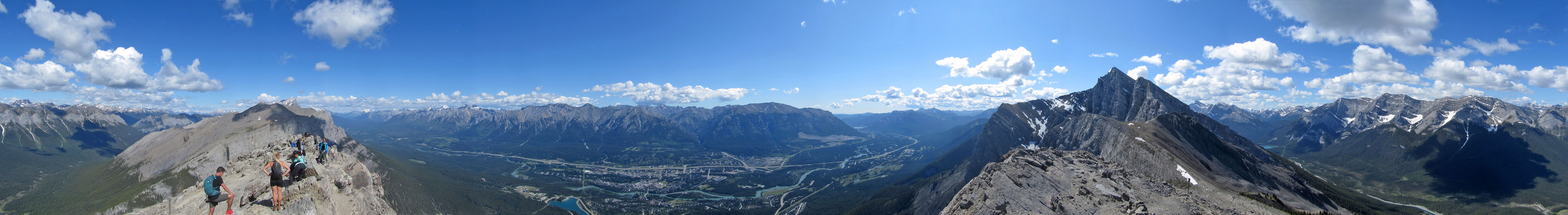
After the last set of stairs, the summit of Ha Ling Peak appeared the same as I remembered. A few trails in the scree slope ran to the summit, and the slope was busy with people going up or down, or simply wandering around. On top, a dozen people relaxed. It wasn't so distracting that I couldn't take a summit panorama before leaving.
Coming down, we faced an onslaught of hikers coming up. But everyone – even those that appeared to be struggling – seemed happy to climb Ha Ling Peak.
From the parking lot, we crossed the main road and walked up the road on the other side
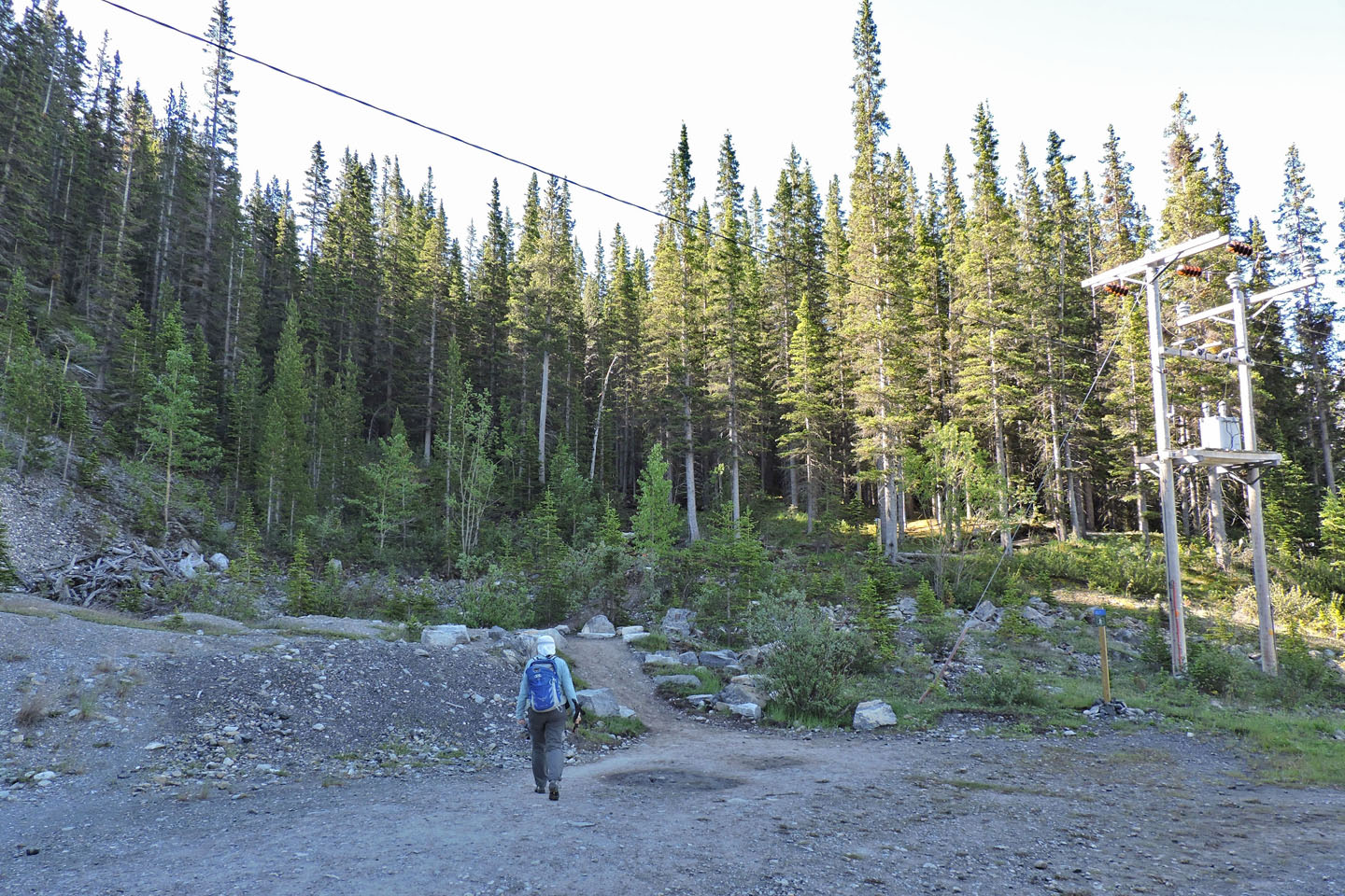
Starting up the trail
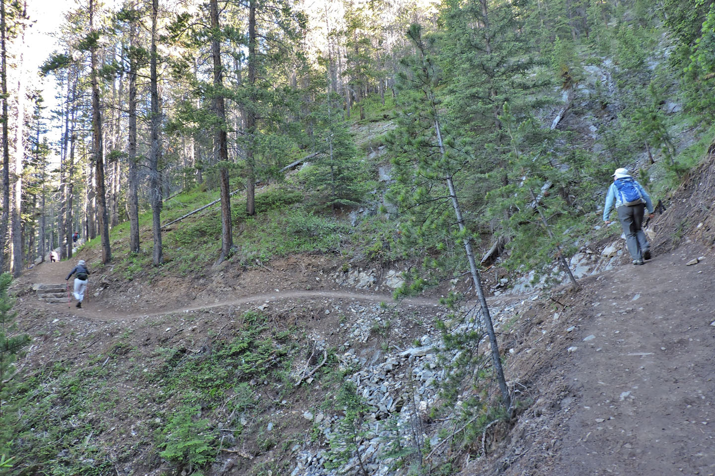
The broad trail traces long switchbacks up the slope
Handrails were added for the uneven rock
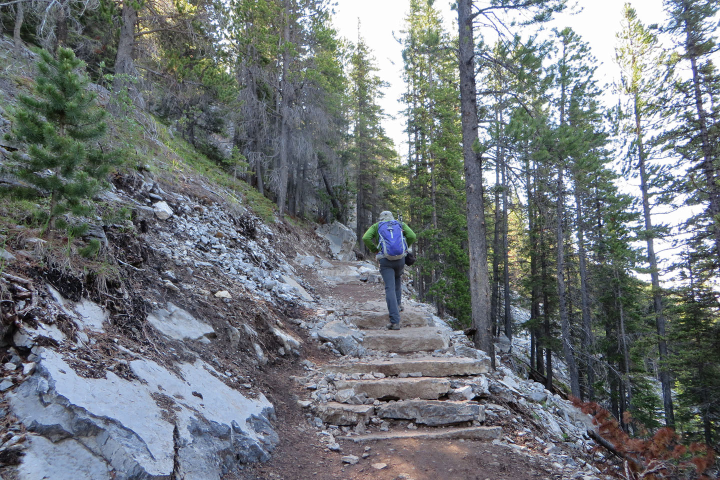
Below the treeline, stone steps appeared throughout the trail
Steps were chiselled into solid rock
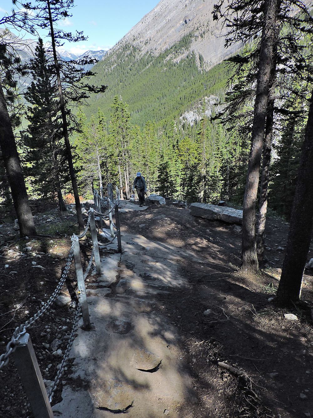
The flat rock on the right serves as a resting bench
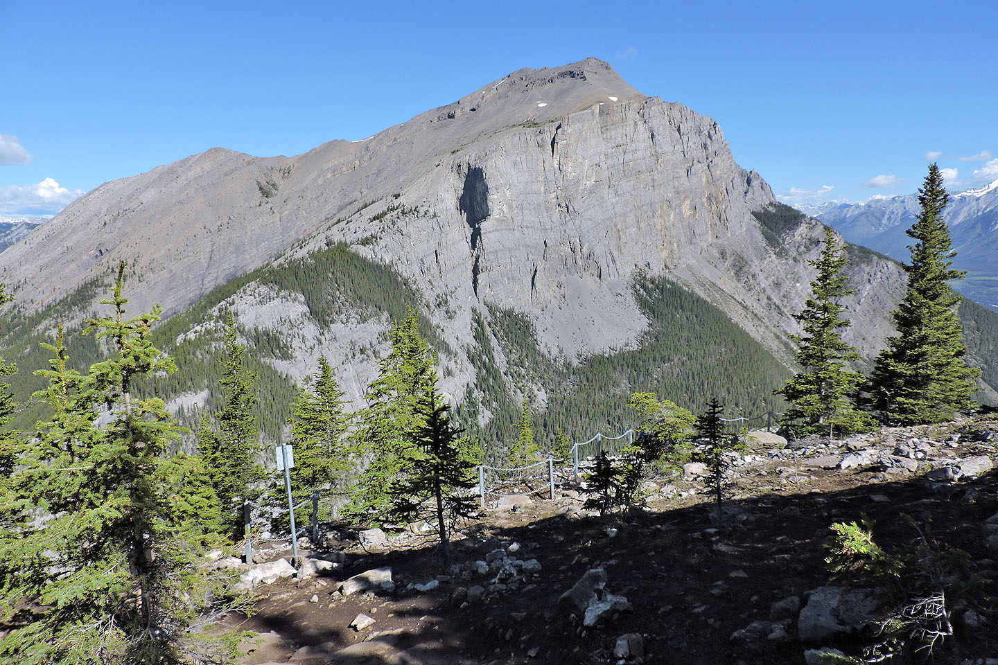 There's now a viewpoint for the East End of Rundle
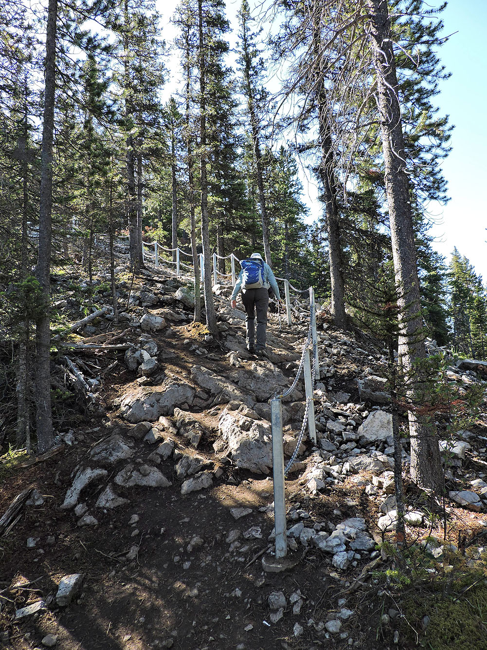
Several stone steps run by an avalanche slope
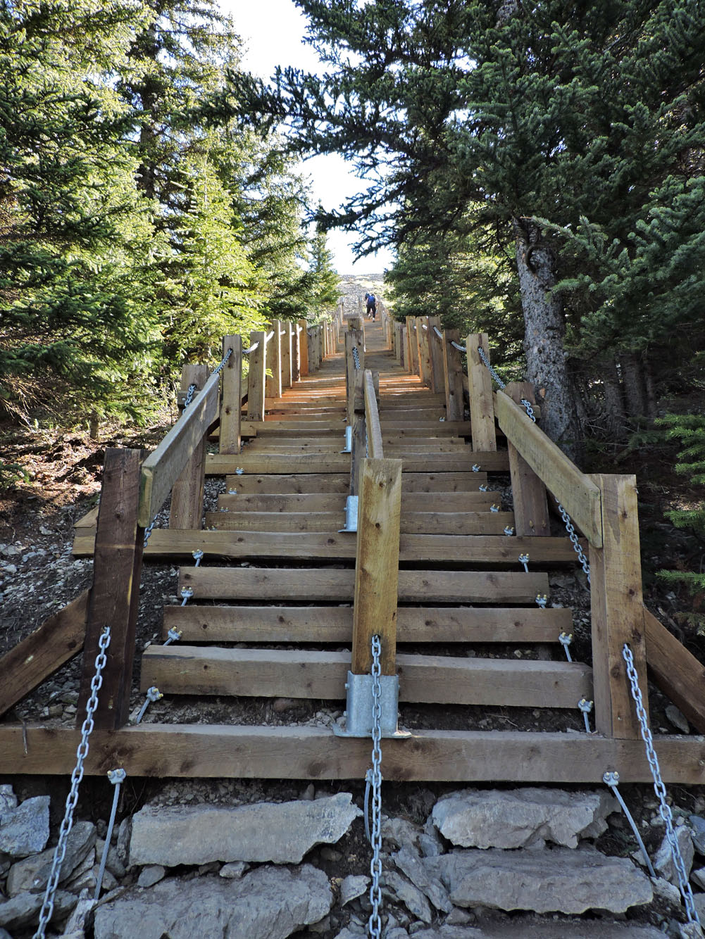
The first of three cable ladders
After the cable ladder, the trail reaches the treeline
Looking back at the last cable ladder
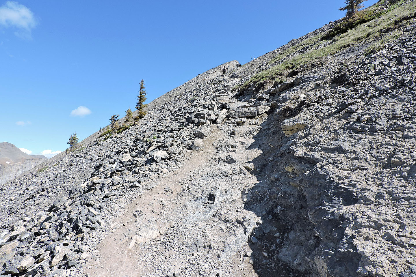
After the stairs, the summit comes into view
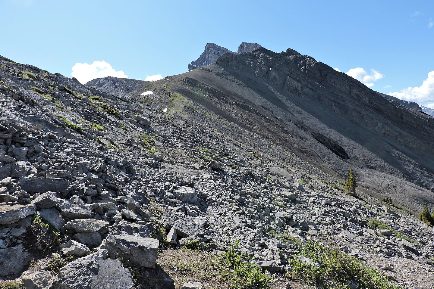
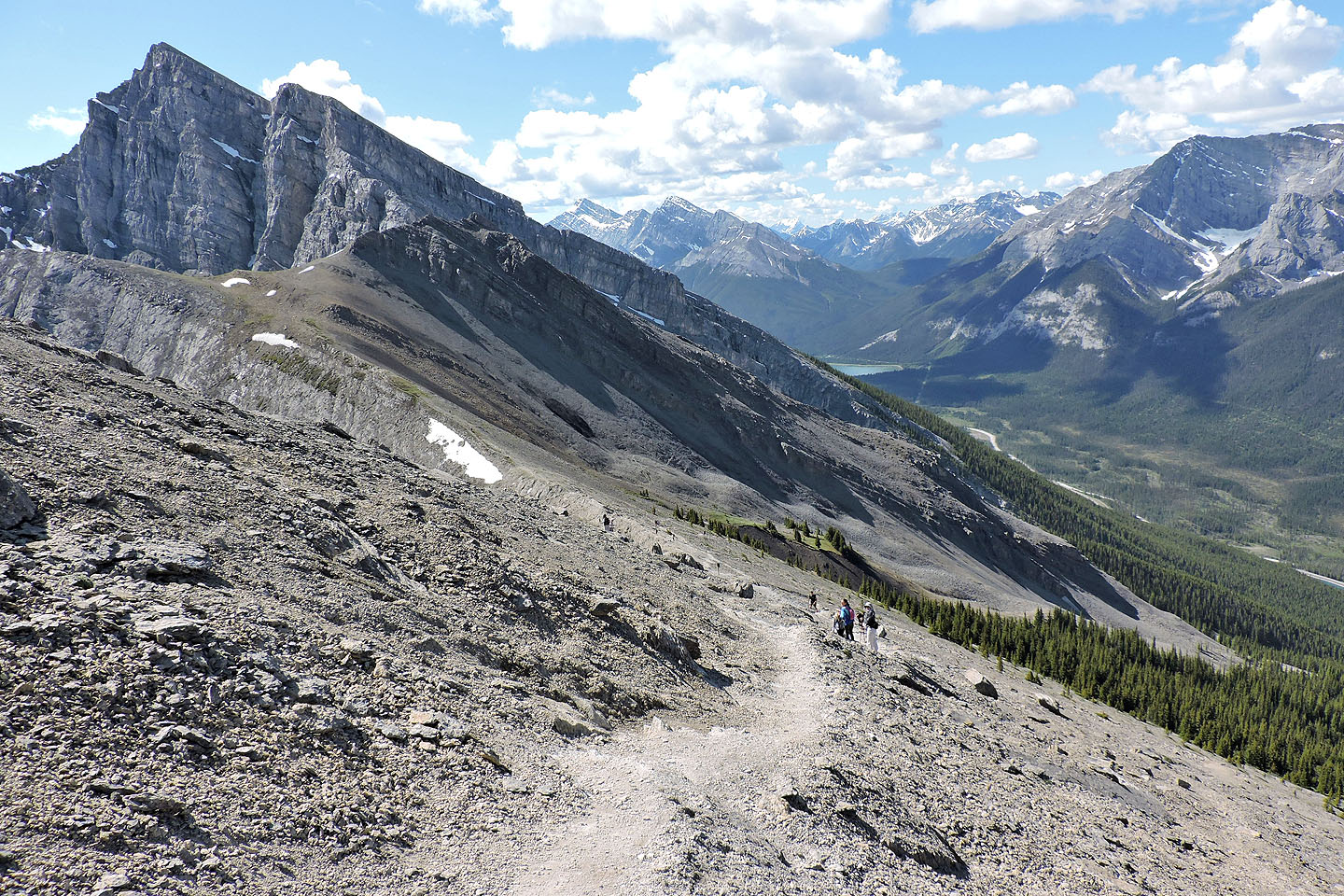
Looking south from the saddle
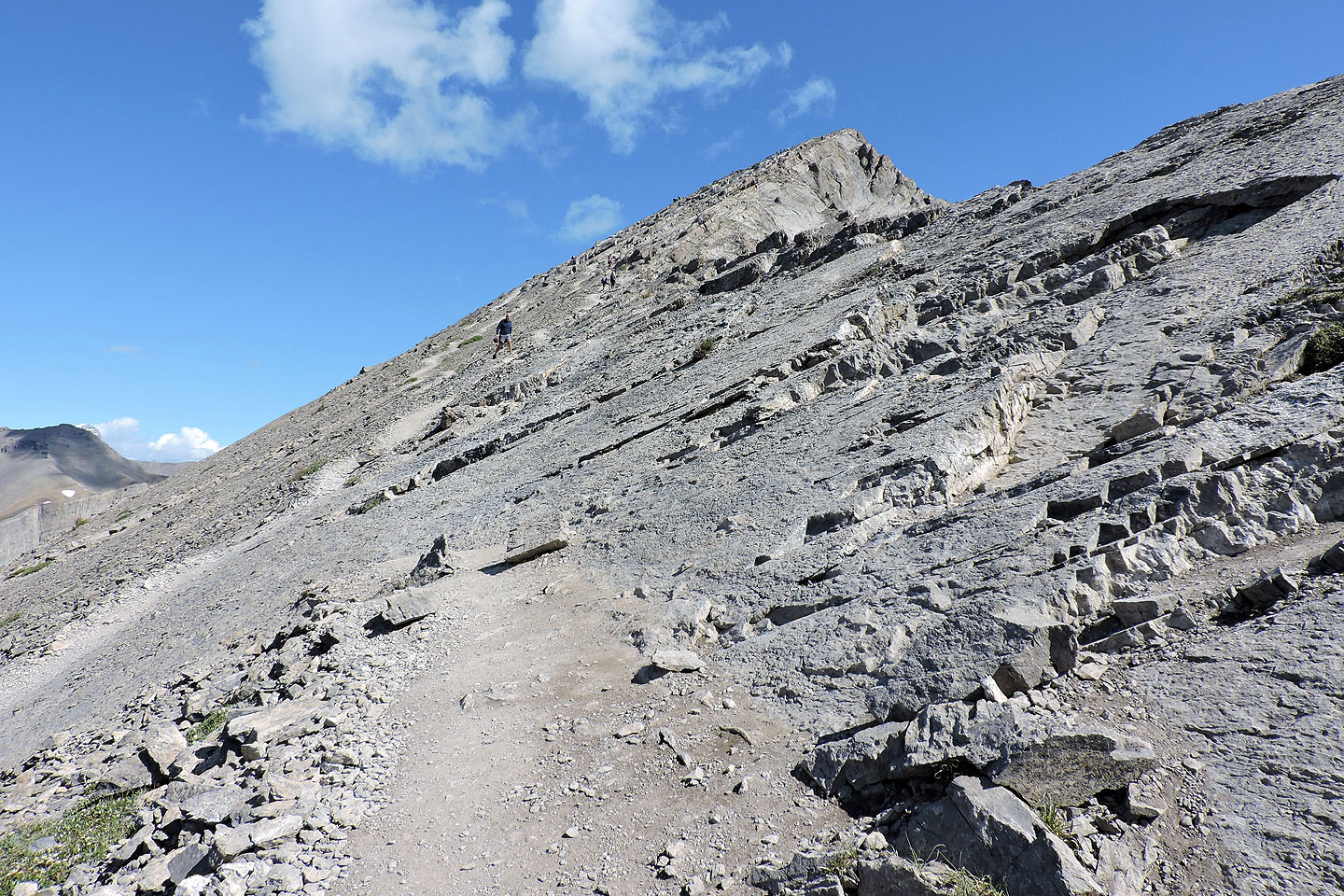
The foreshortened view makes the final ascent look steeper than it is
There are a few trails going up
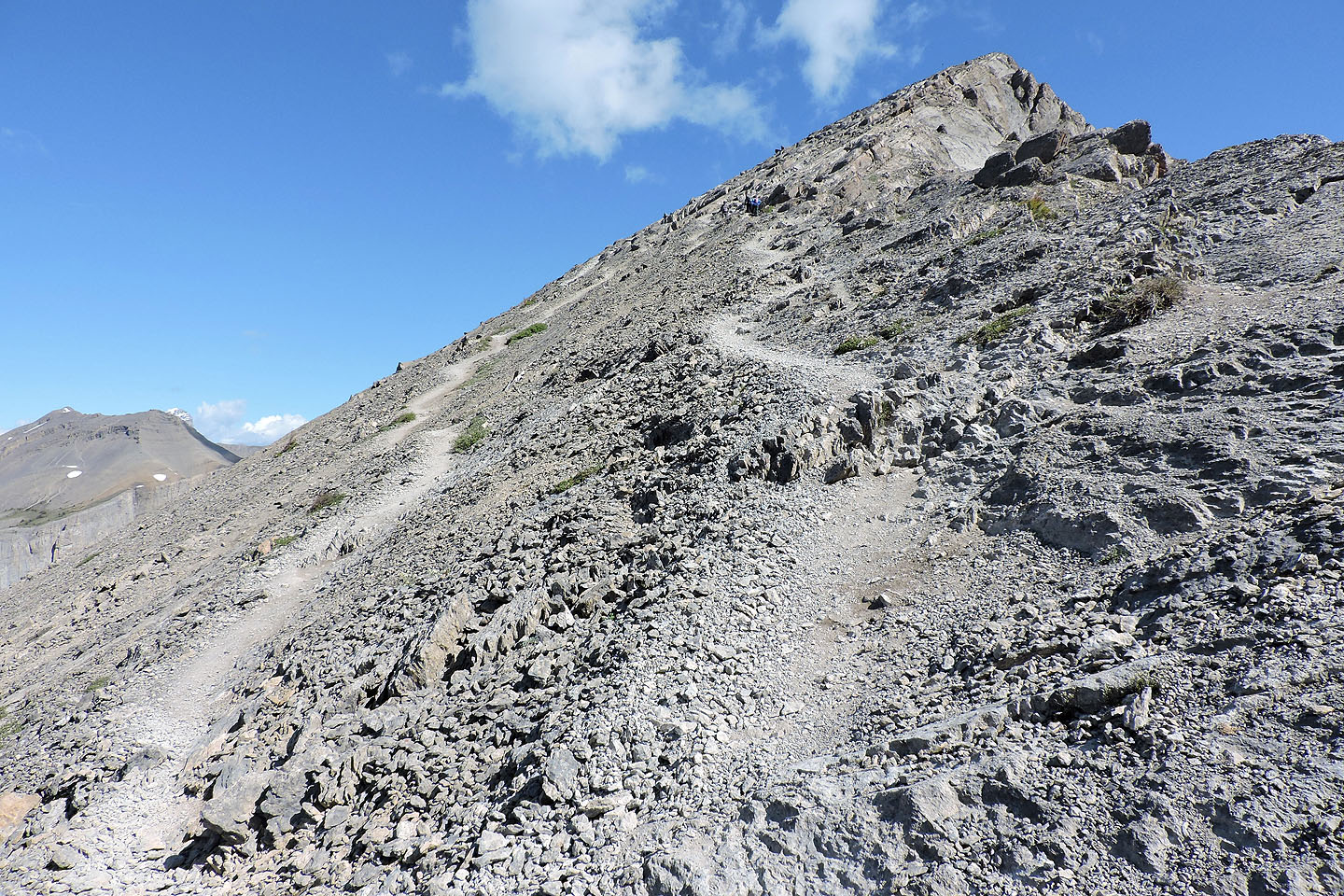
 Looking down the trail just before the summit
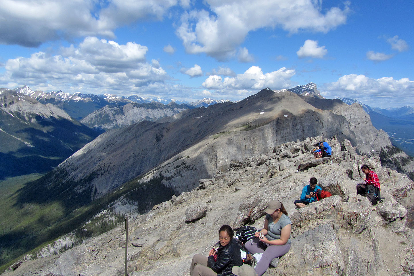 We shared the summit with several others
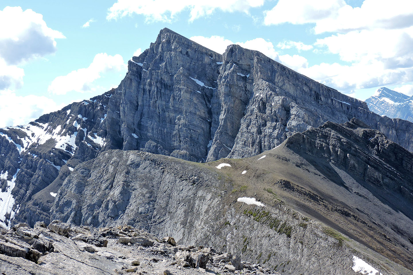
Mount Lawrence Grassi, left of centre, towers above Miner's Peak
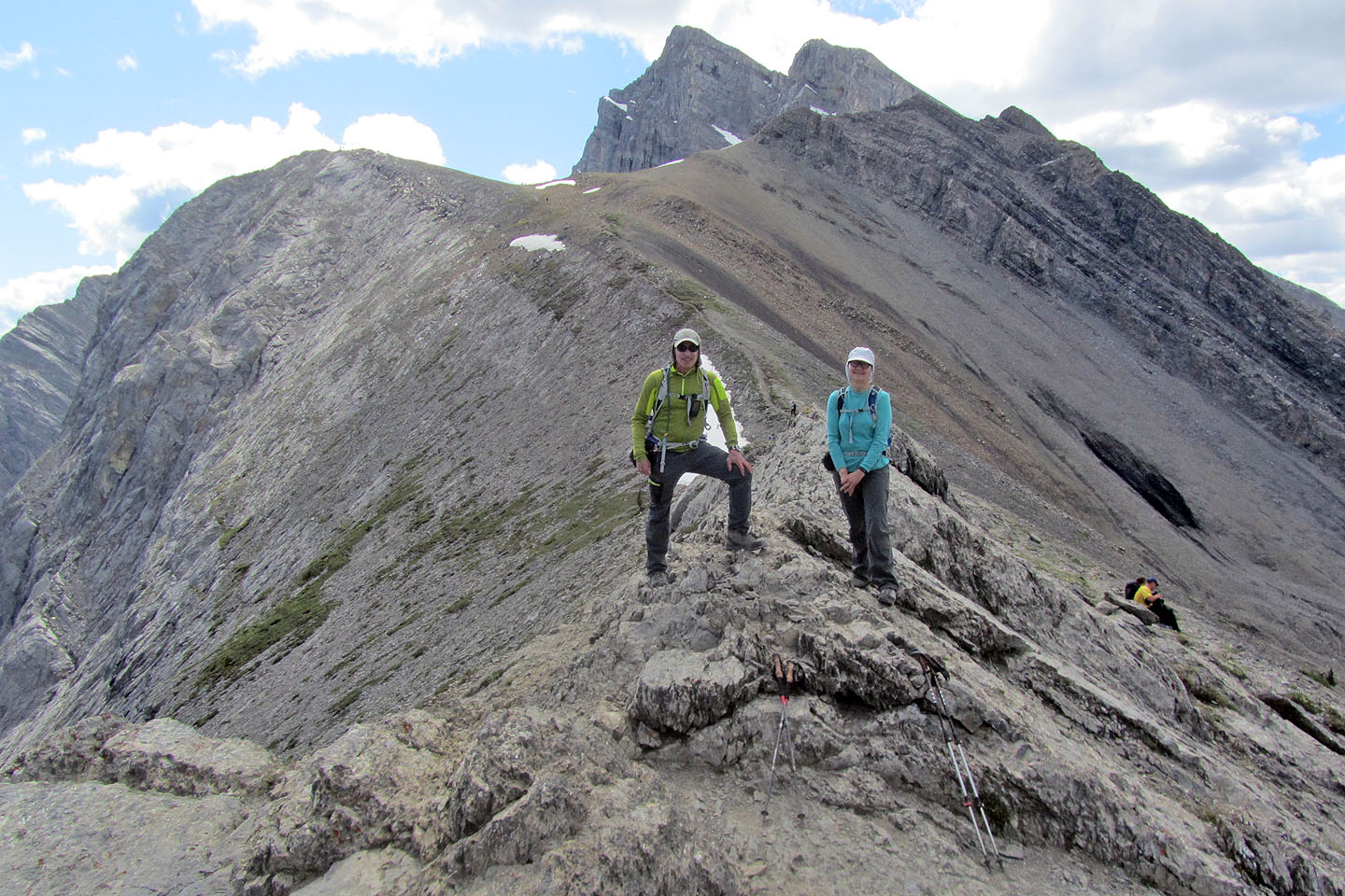
Distracted by the crowd on the summit, we forgot to take our usual photo so we took one on the saddle
When we returned to the trailhead, we watched bighorn sheep climb down to the road
82 O/3 Canmore