bobspirko.ca | Home | Canada Trips | US Trips | Hiking | Snowshoeing | MAP | About
East End of Rundle
Kananaskis, Alberta
June 19, 2010
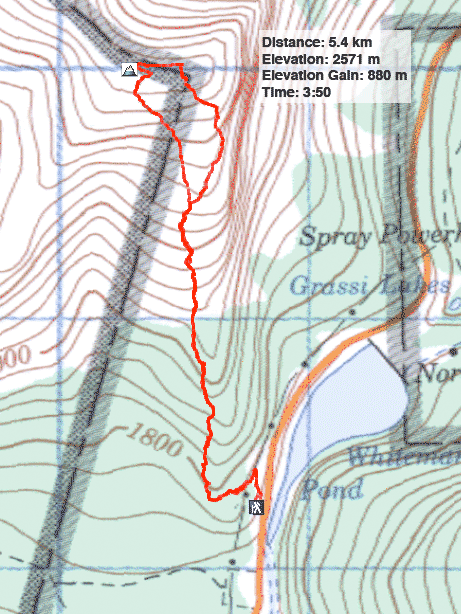
Distance: 5.4 km (3.4 mi)
Cumulative Elevation Gain: 890 m (2920 ft)
When Dinah and I first climbed the EEOR in 2001 we took few photos, but this time we took our time, making frequent stops to look around and take out our cameras. Indeed, if I hadn't stopped to look behind at one point, I would have missed seeing a mountain goat!
We followed the instructions in Scrambles in the Canadian Rockies. Unlike Kananaskis Country Trail Guide which runs to the first summit, Scrambles pushes on to another point five minutes away. Also, Alan Kane recommends a descent down a gully which we used. A good trail takes you to the first summit.
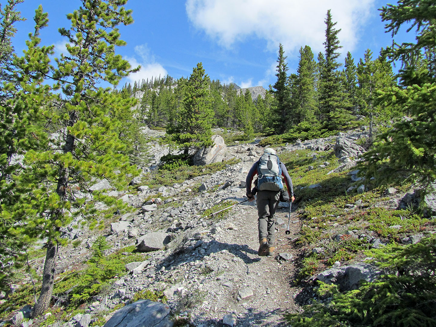
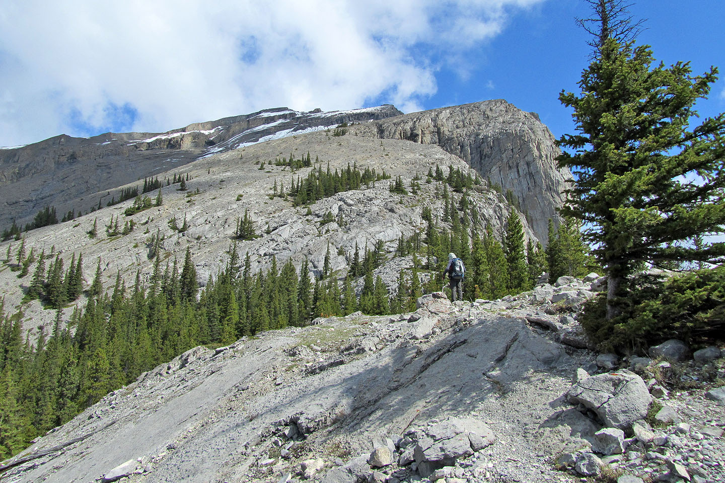
Well along the trail, the trees begin to thin
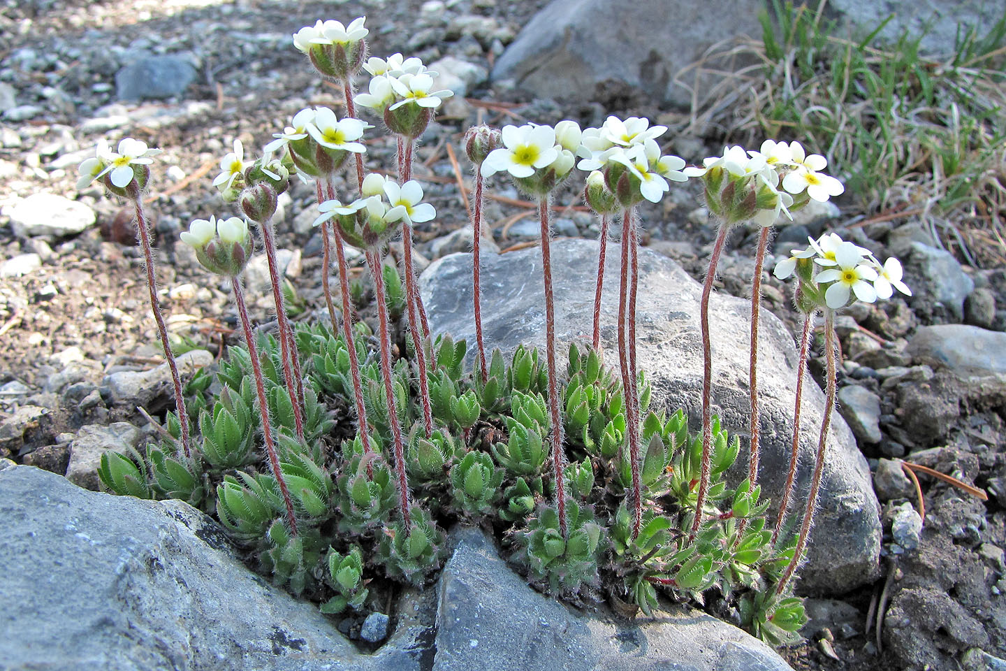
Sweetflower rockjasmine (thanks to Ed Hergott for identifying it)
Looking back
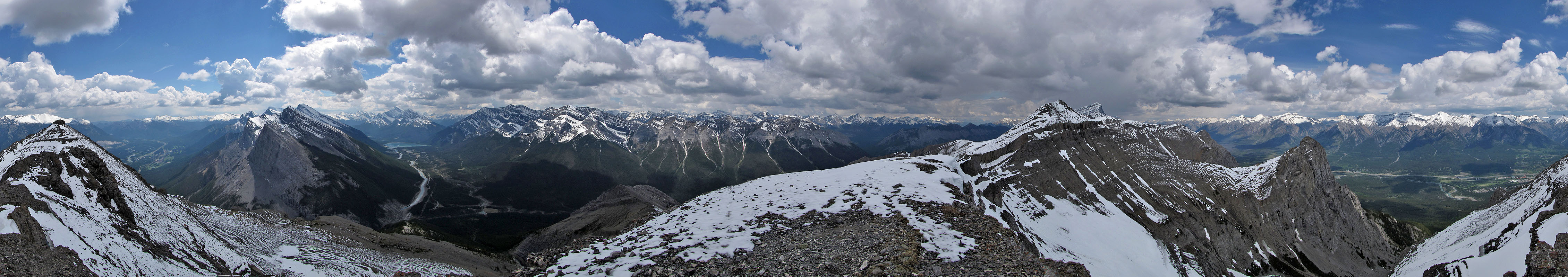
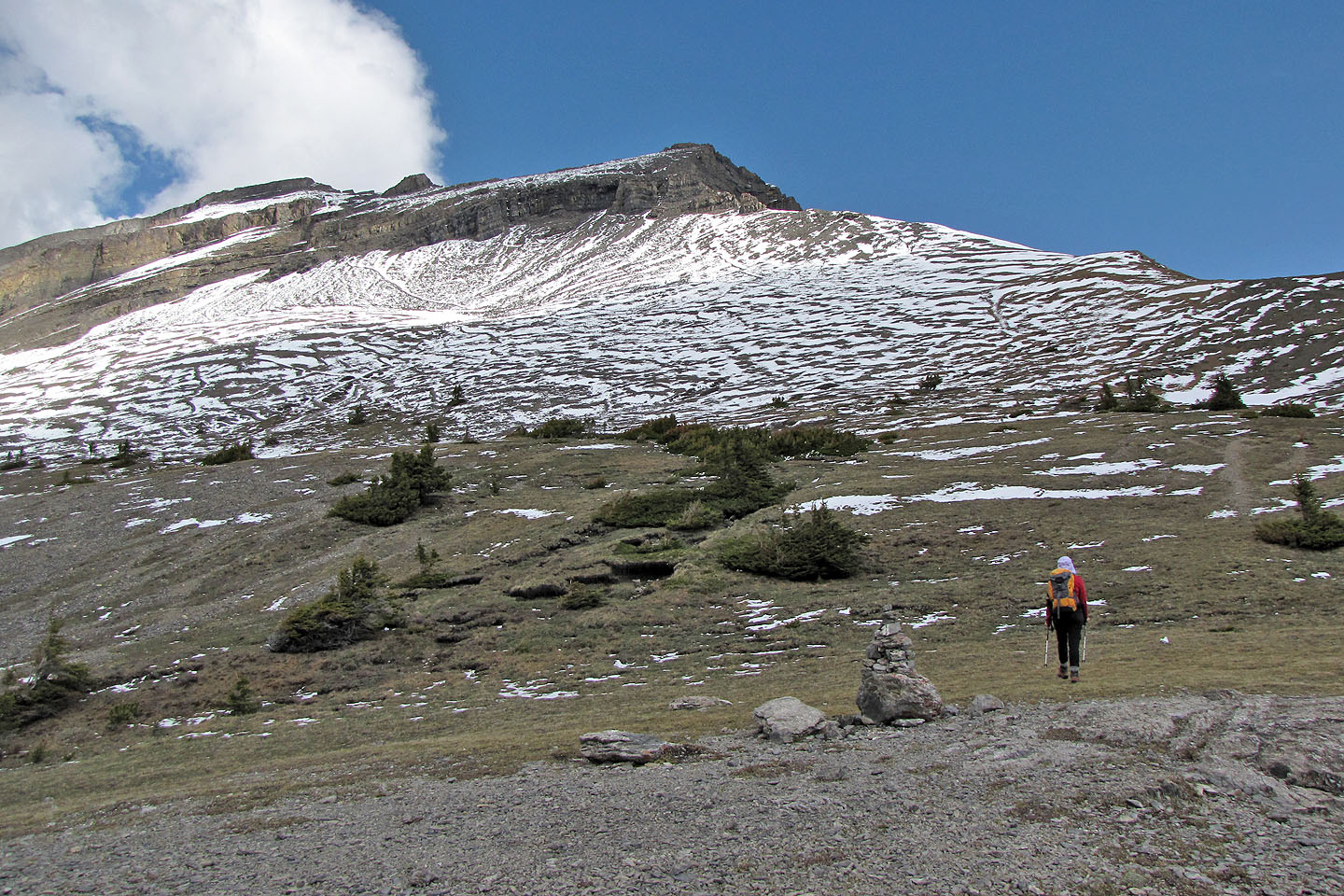
The views open up, but the summit is still far off
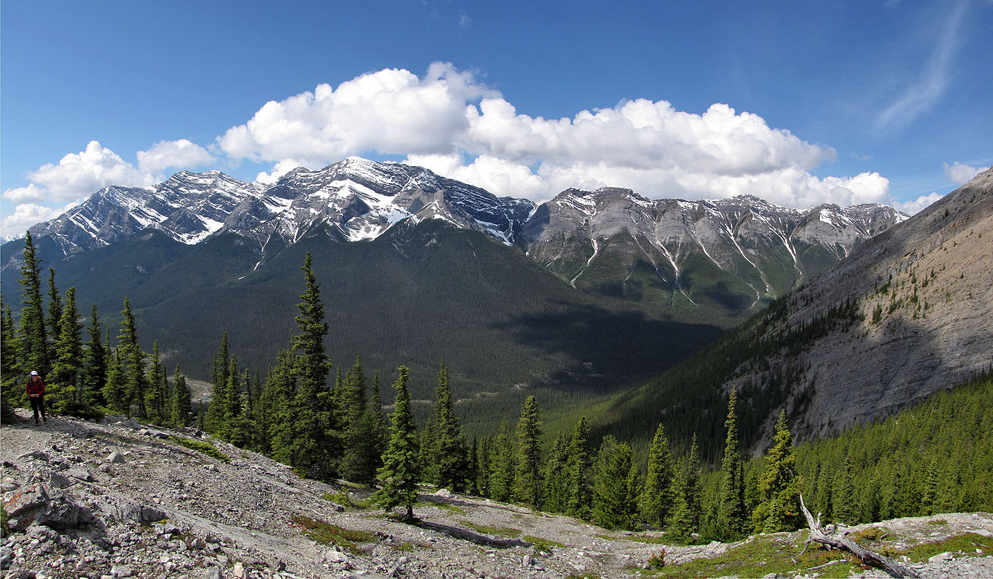
Behind us is the Goat Range
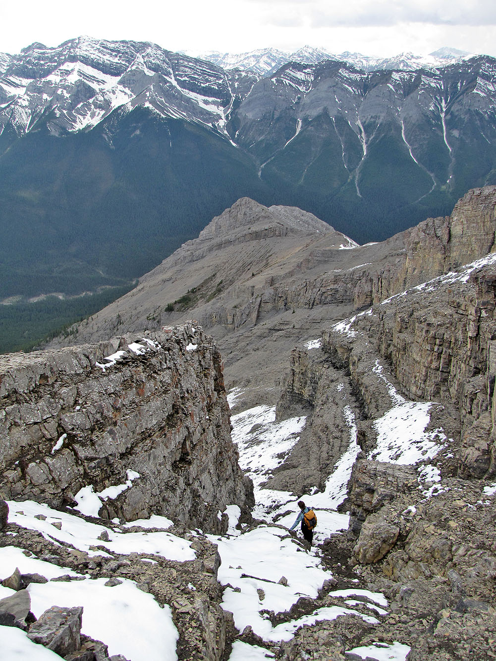
We kept to the right but came down the gully (hidden on the left)
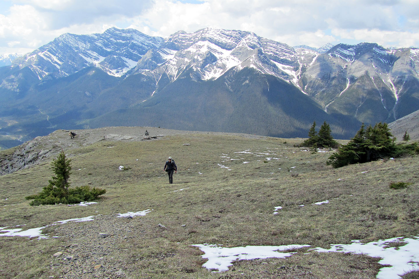
Looking back across the plateau
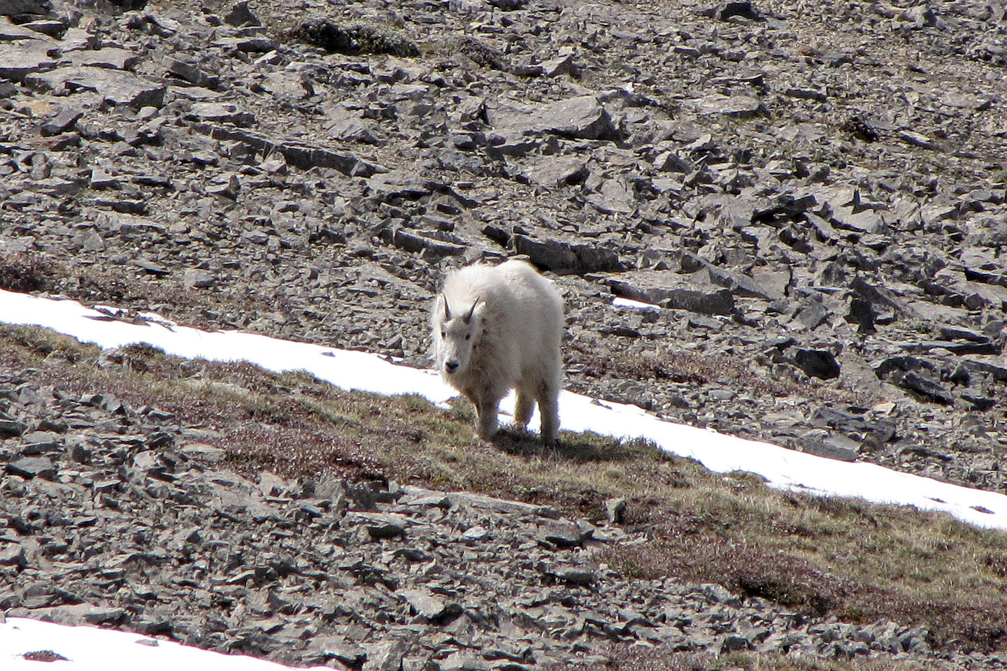
Looking back, a mountain goat appeared in an area we had passed
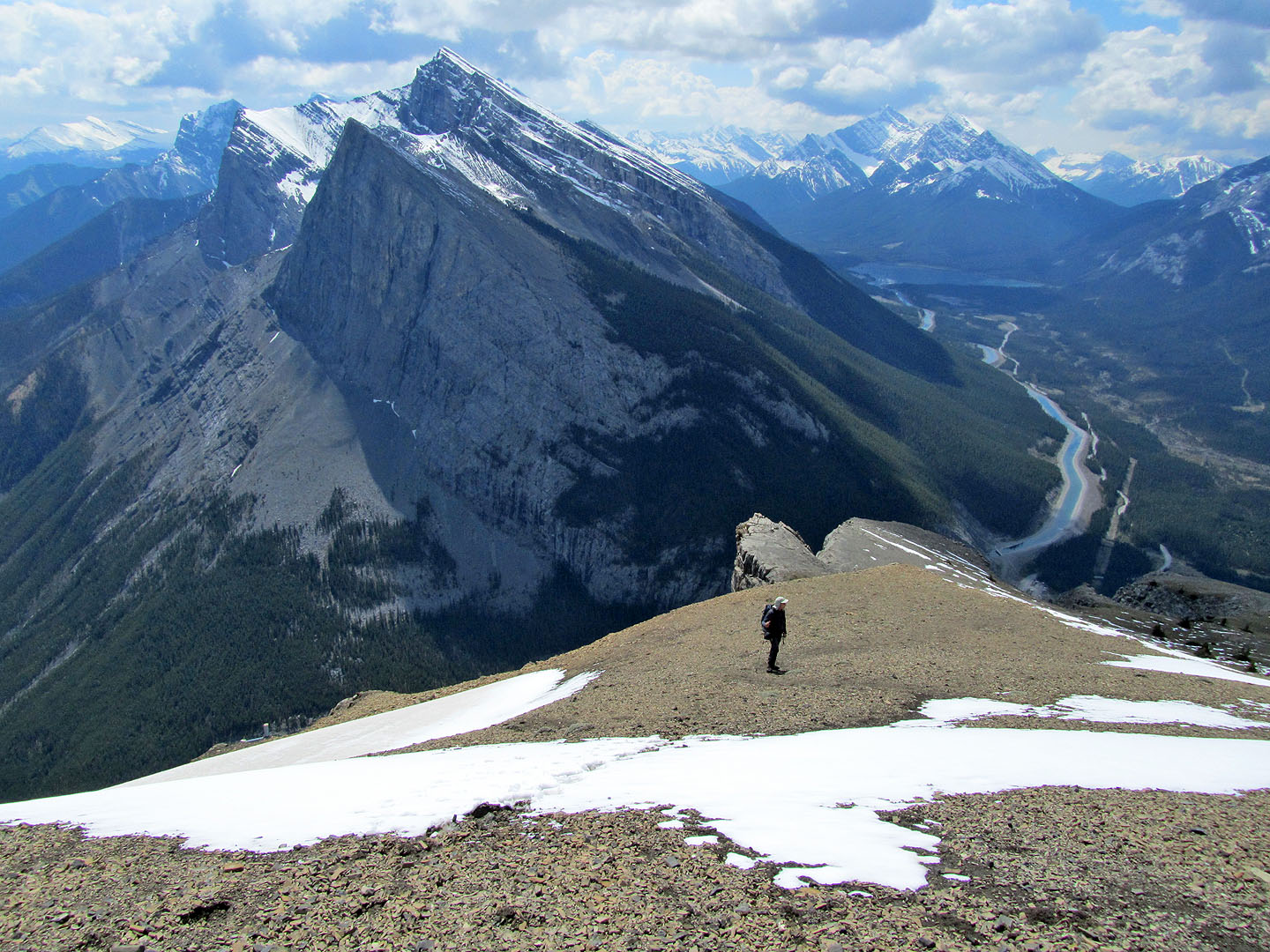
Ha Ling and Lawrence Grassi fill the background
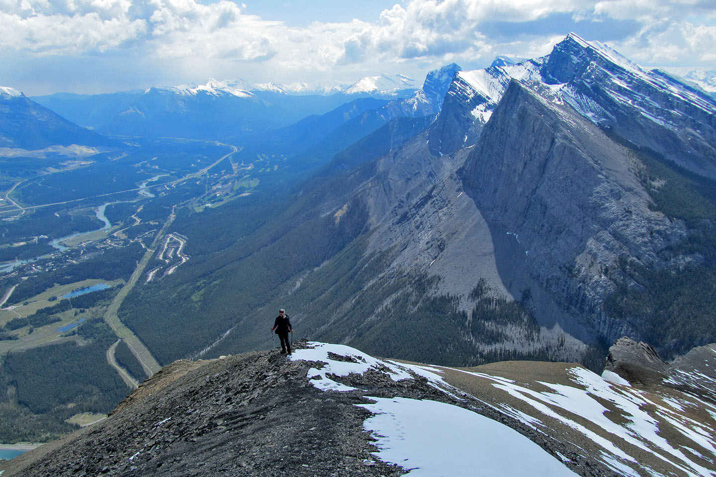
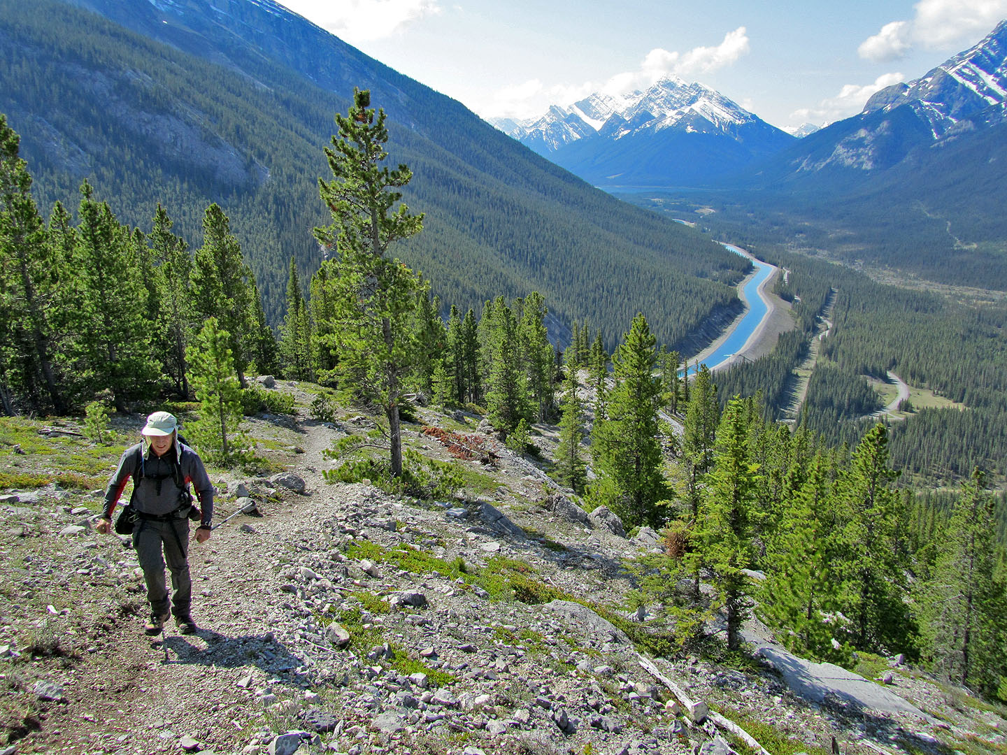
Looking back at Bow Valley
Heading to the first peak
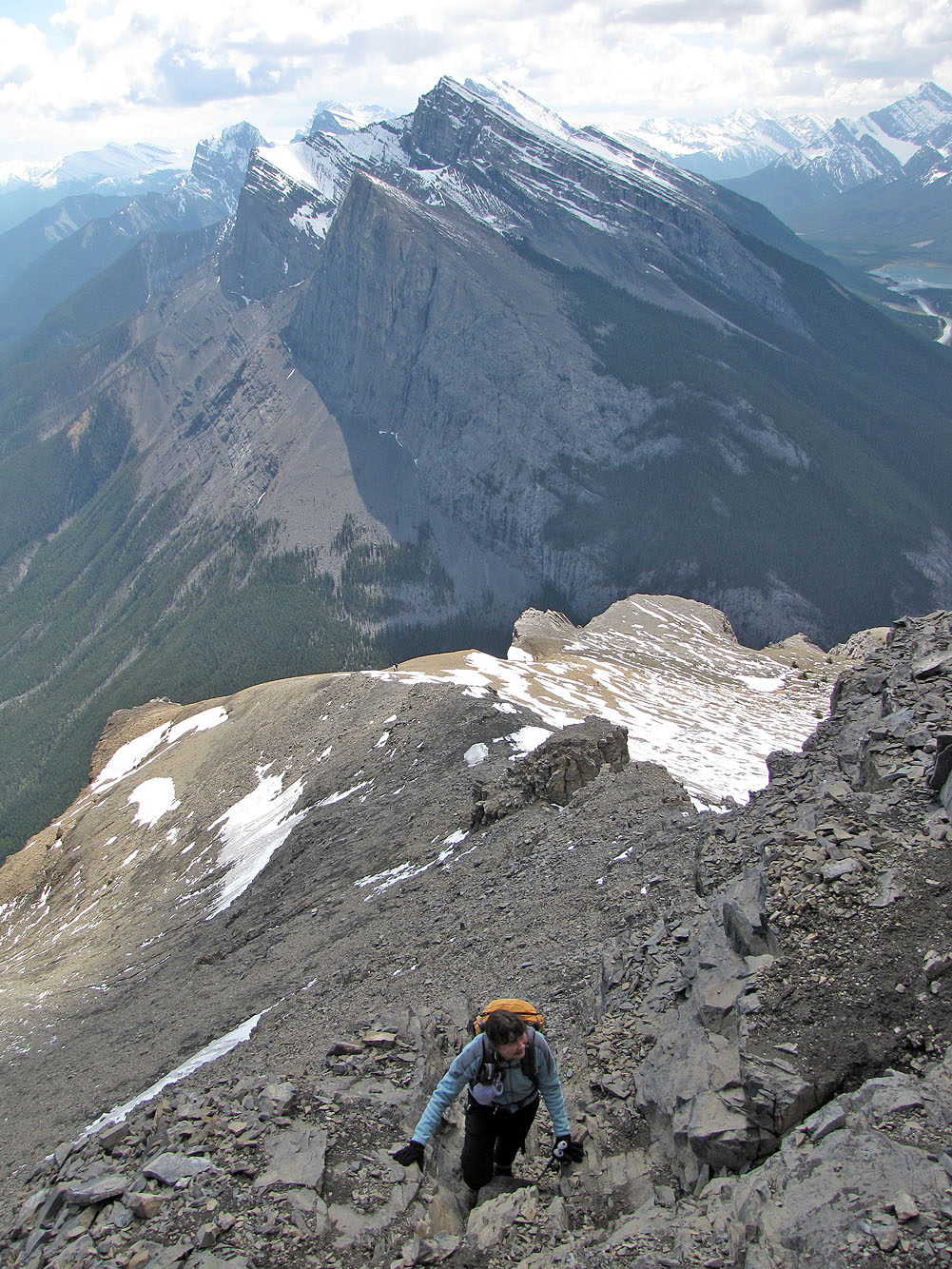
Dinah scrambles up a chimney
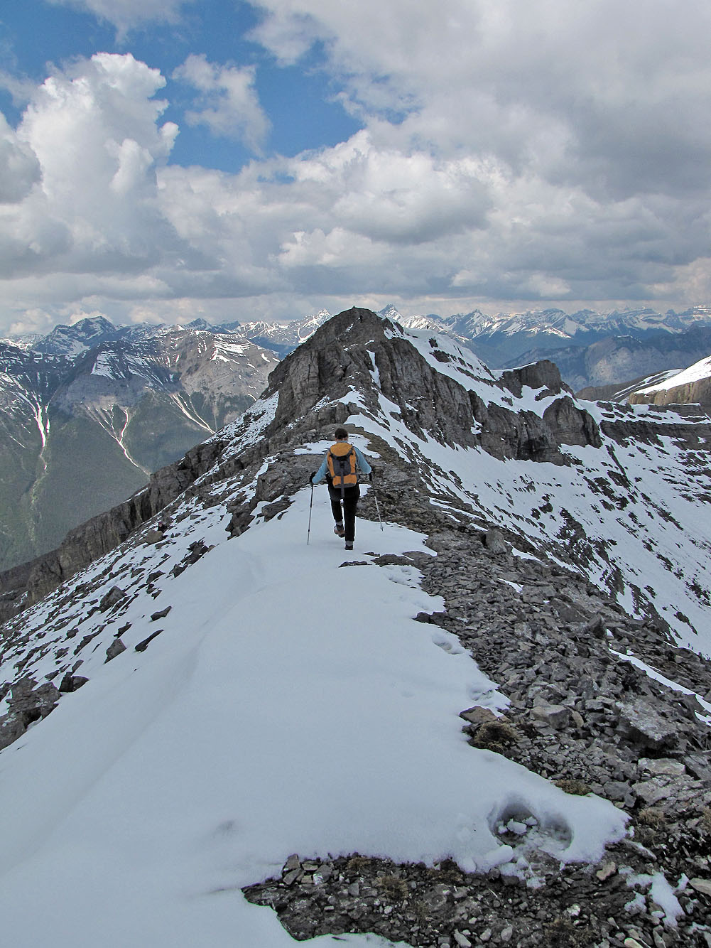
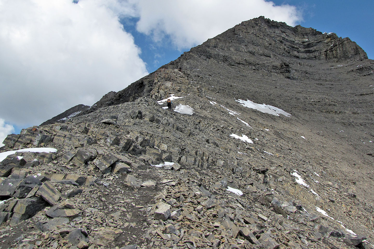
Following the ridge from the first peak to the summit
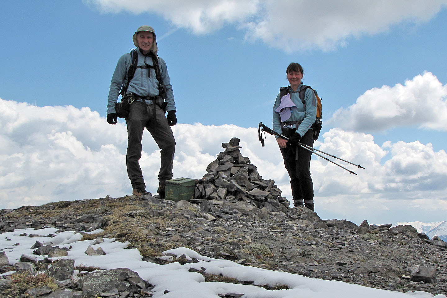
Obligatory summit pose
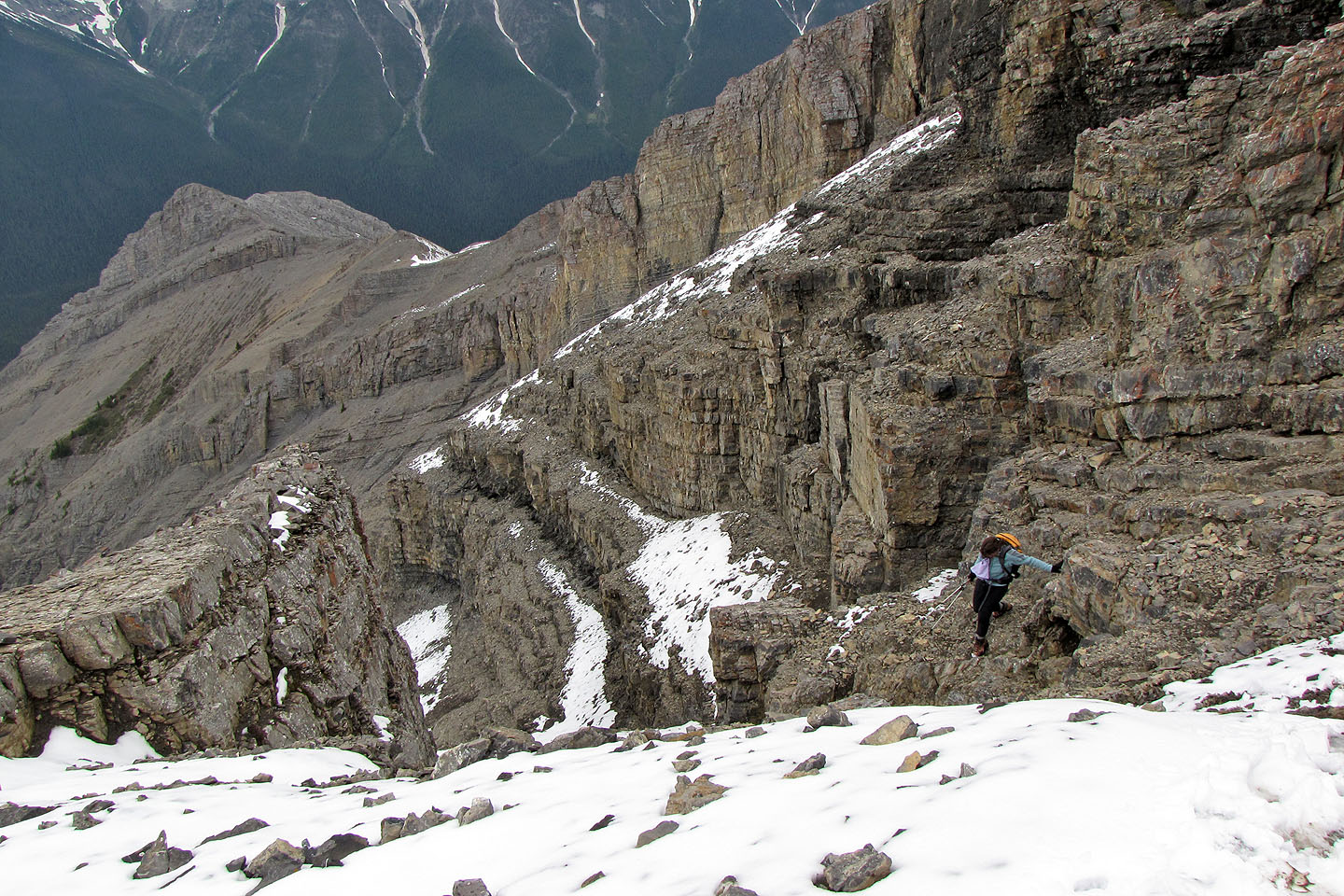
Dinah makes her way to the top of the descent gully
Descending the gully (mouse over to look up the gully)
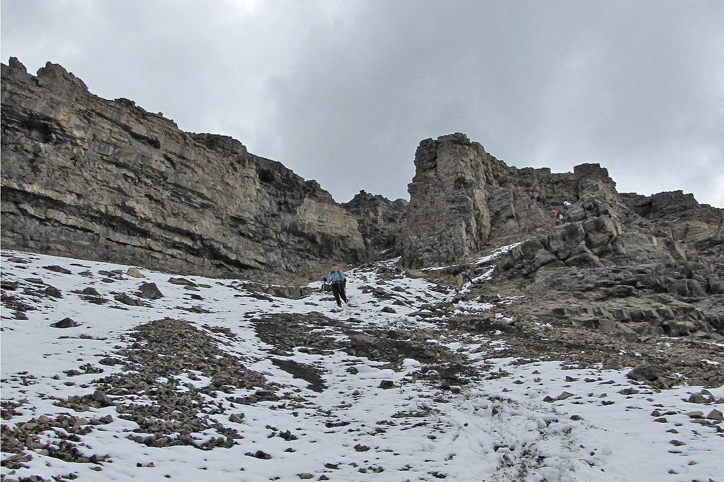
Looking back at the gully. Two guys on the right tried scrambling up the wall, but were rebuffed.
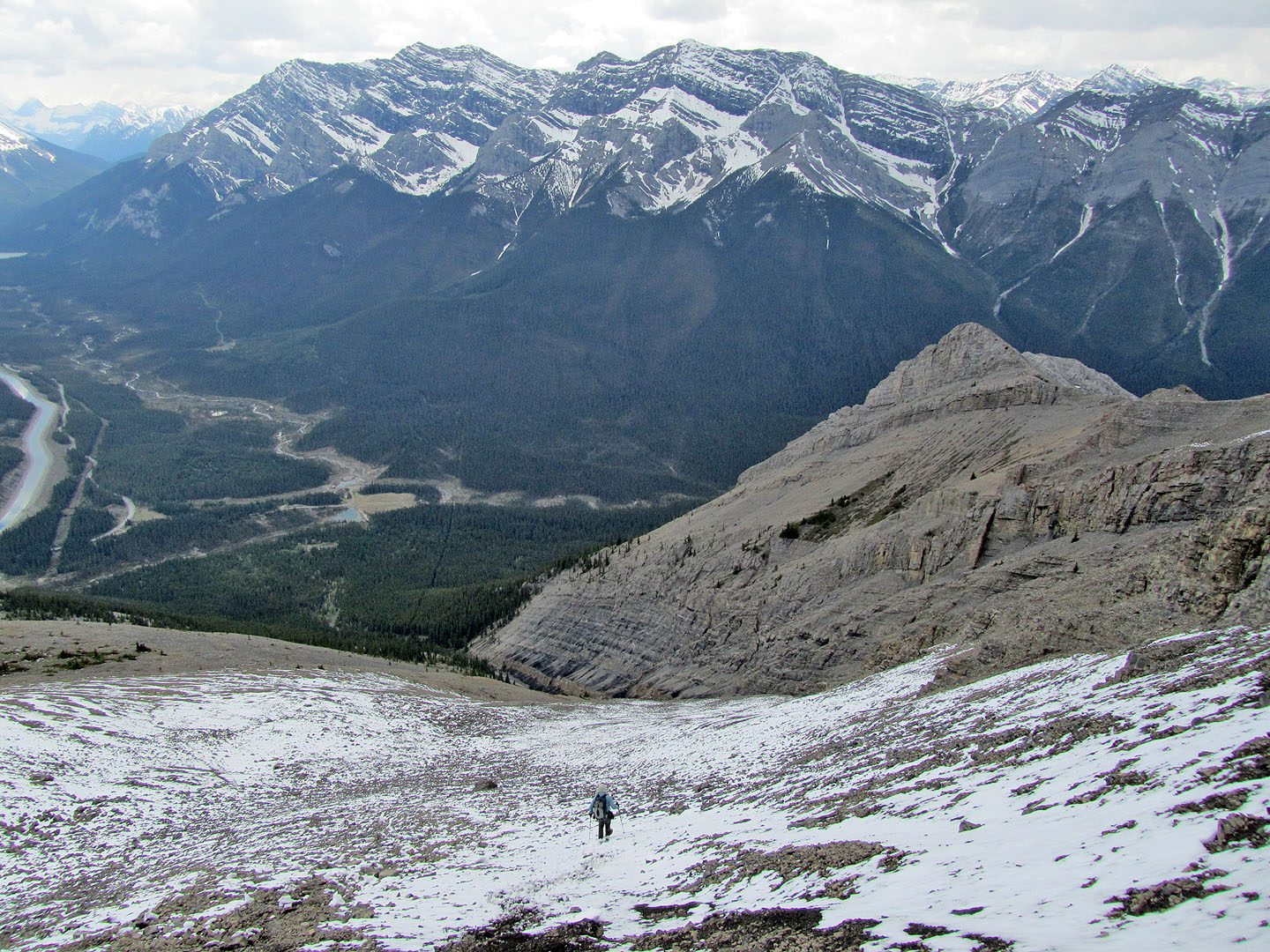
Descending down scree
82 O/3 Canmore