bobspirko.ca | Home | Canada Trips | US Trips | Hiking | Snowshoeing | MAP | About

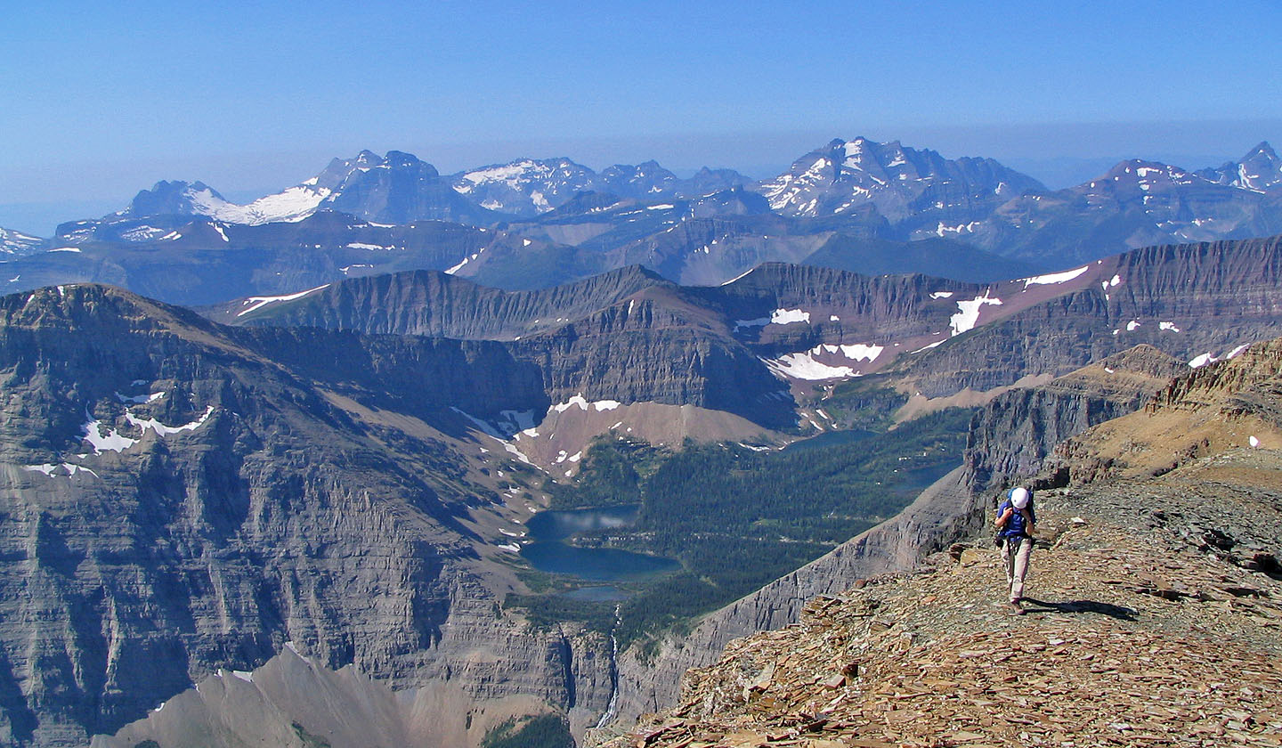
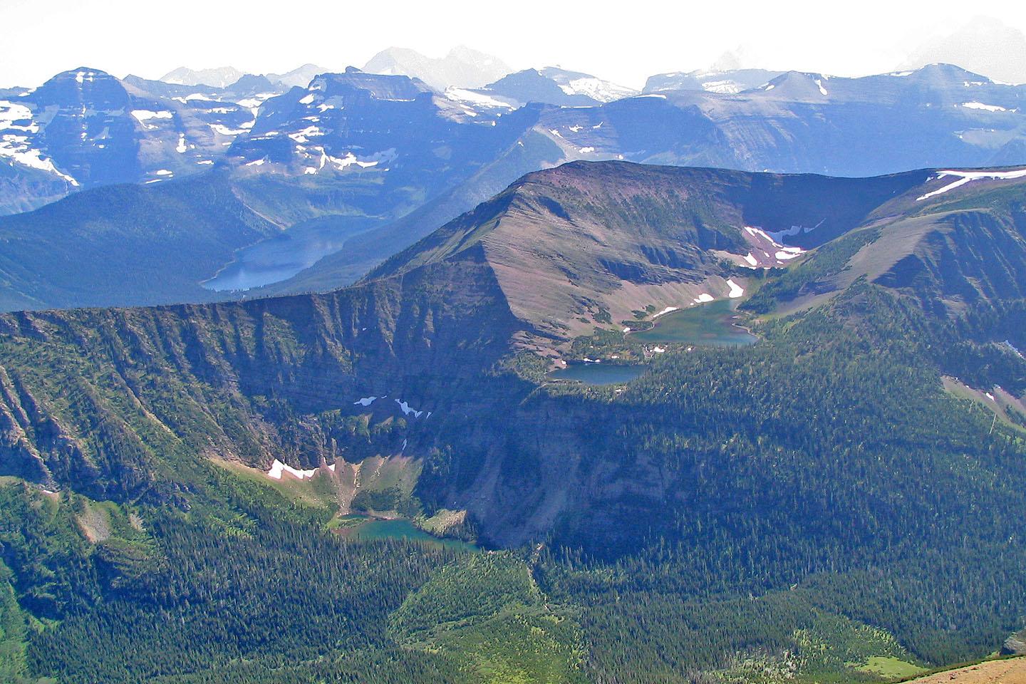
View from Mount Blakiston
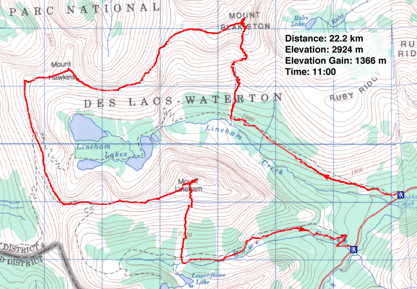
Hawkins Horseshoe
Waterton, Alberta
July 25, 2004
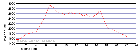
Distance: 22.2 km (13.8 mi)
Cumulative Elevation Gain: 1894 m (6214 ft)
Hawkins Horseshoe is a scrambling loop that embraces three colourful peaks in Waterton: Mount Blakiston, Mount Hawkins and Mount Lineham. Dinah and I were prepared for a long day, and it was.
We were up at 3:15 am for the three-hour drive to Waterton Park. We arrived at the Lineham Falls trailhead at 7:00 am to climb three peaks: Mounts Blakiston, Hawkins and Lineham. The trip took us just under 11 hours, not including the 1.3 km walk down the road back to our car. However, it was a hot day and we were loaded down with water. We each brought four litres of water and drank nearly all of it.
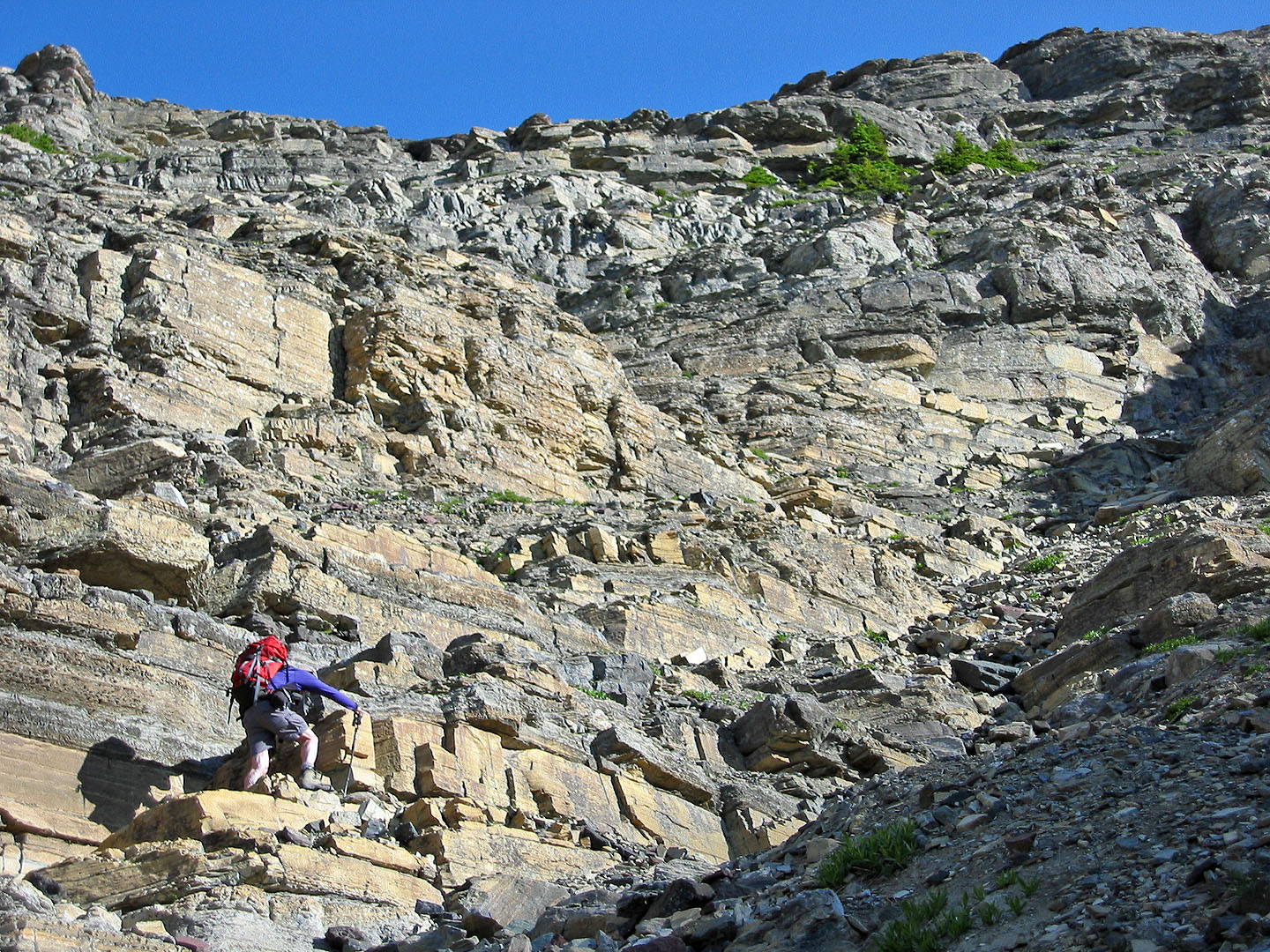
Our only difficulty was climbing Blakiston. Here the instructions in the guidebook were unclear. We went to the left side of the ascent gully when we should've kept right. Also, the couloir below the summit cannot be seen from the gully, so we weren't sure where to head. We spent several minutes looking for it before finding it, hidden on our left. After summiting Mount Blakiston, the rest of the trip was an easy and delightful ridgewalk; the way to Mount Hawkins and Mount Lineham was obvious.
From the summit of Lineham, we descended the south slopes and made our way to Rowe Lakes trail. We followed the trail to the road and walked back to our car.
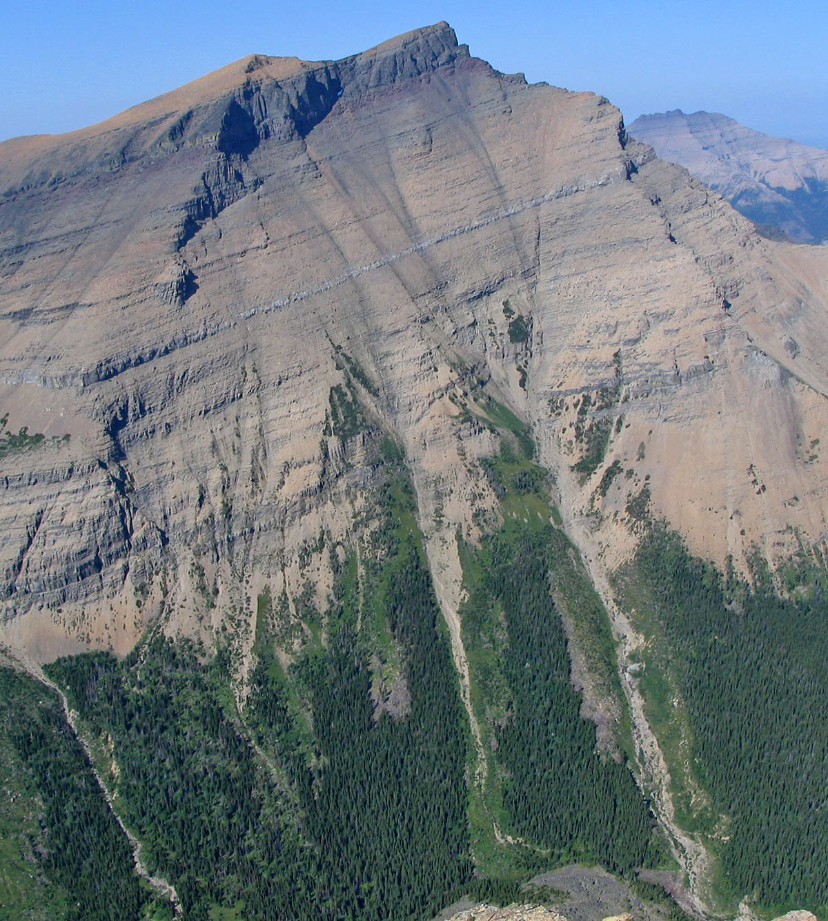
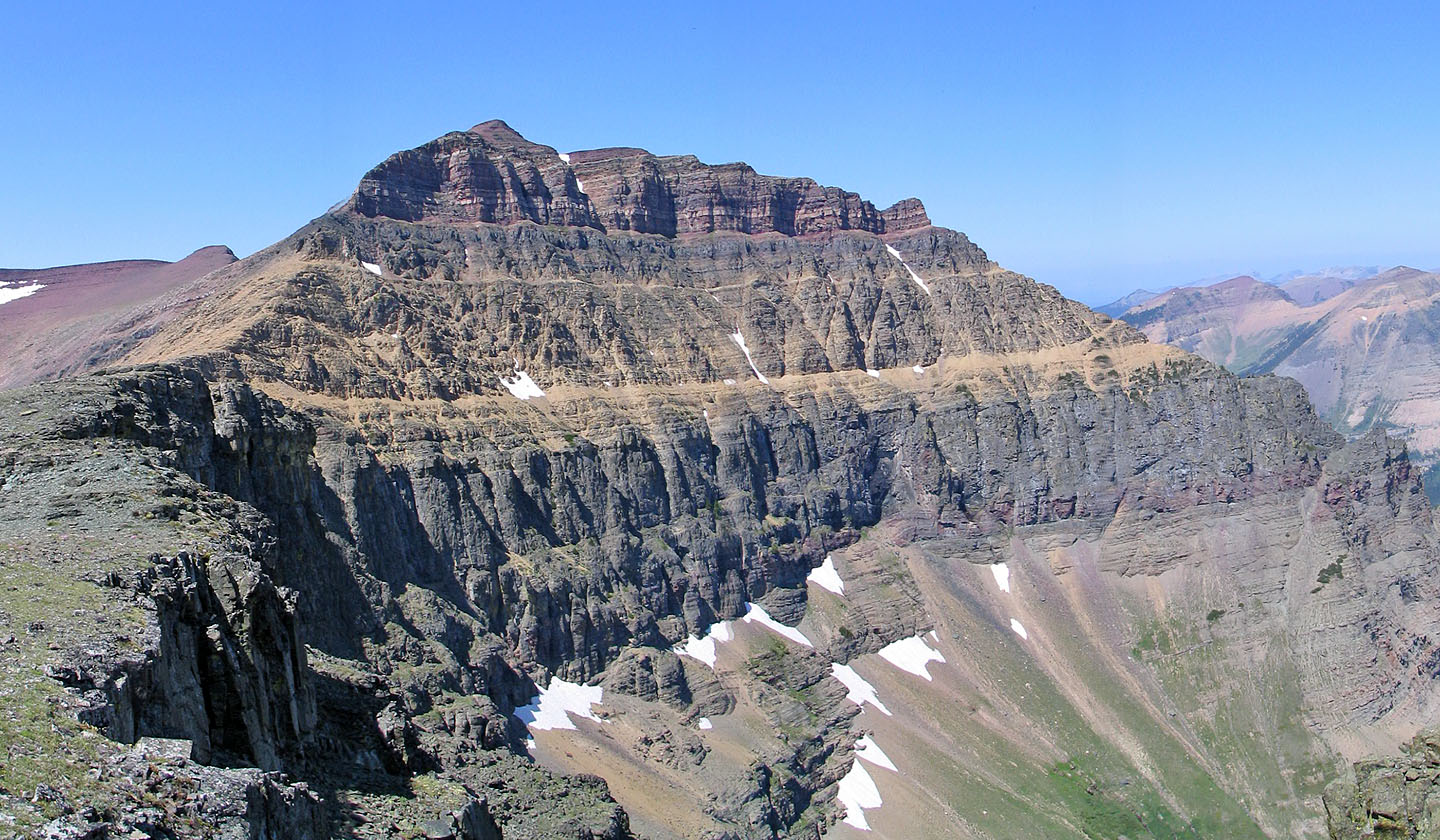
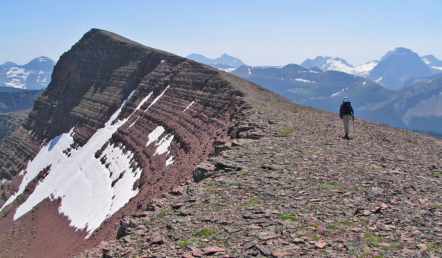
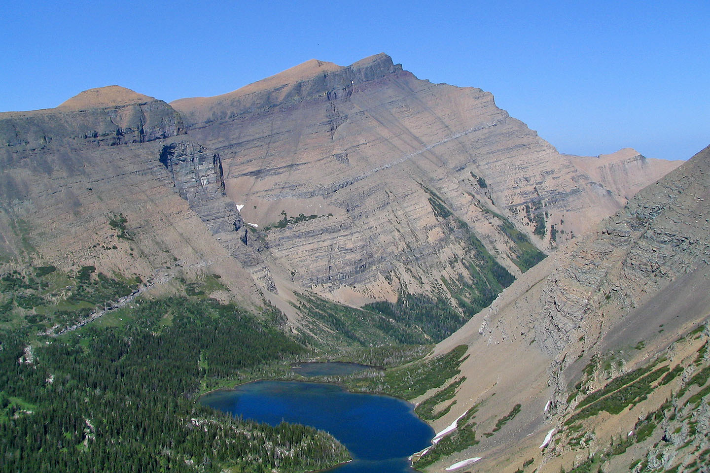
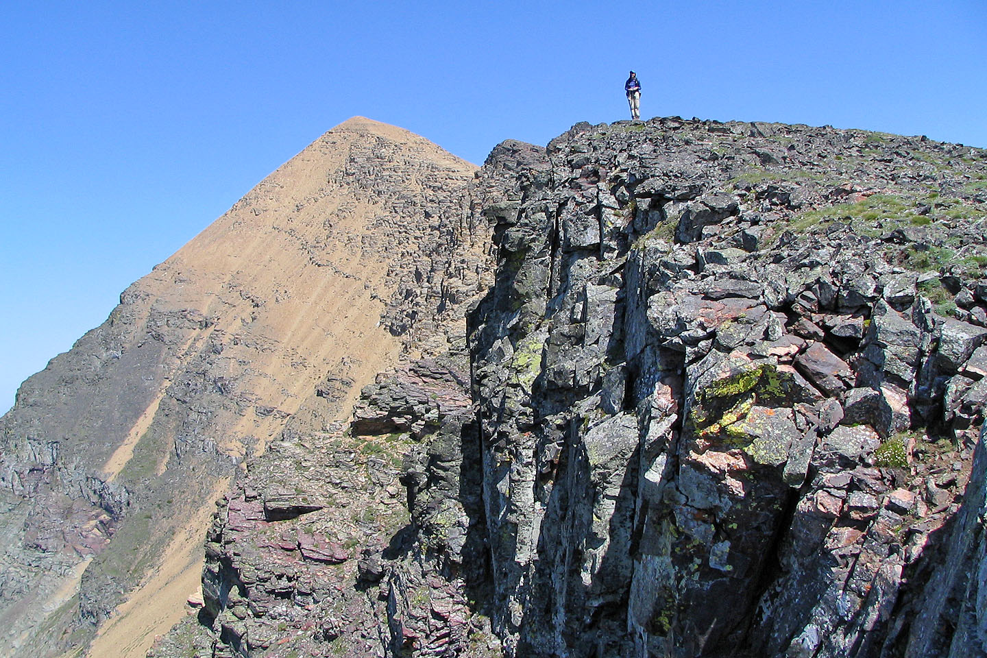
Mount Blakiston seen from Mount Lineham. The ascent gully is right.
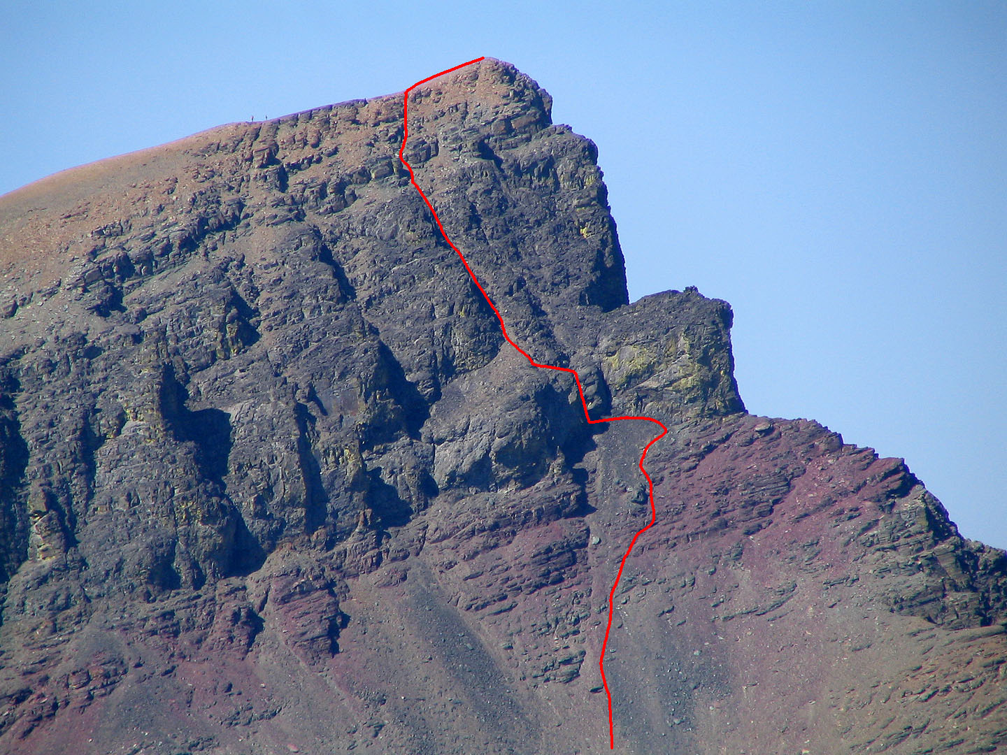
Close up of the summit ascent
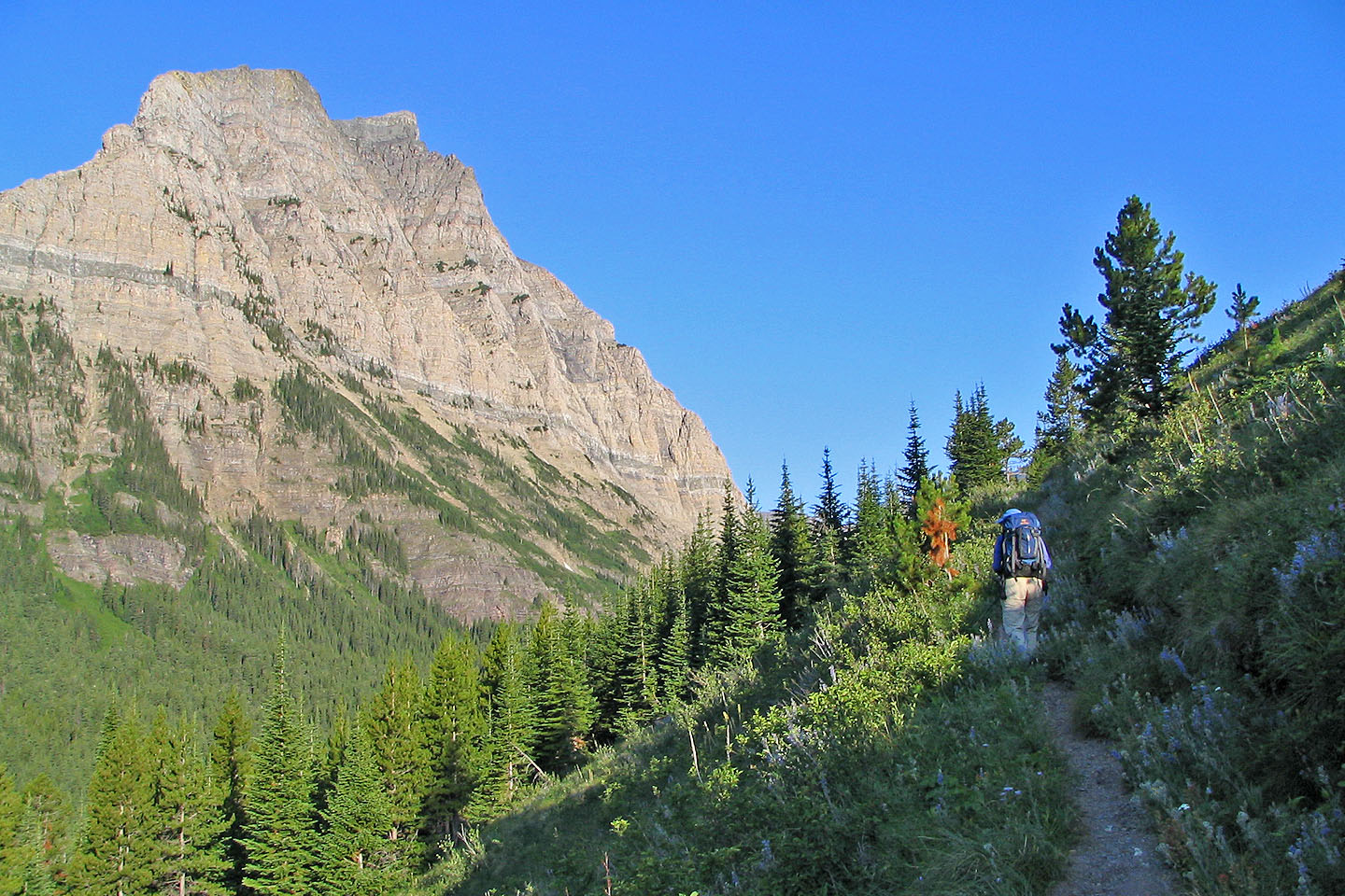
Hiking up Lineham Falls trail
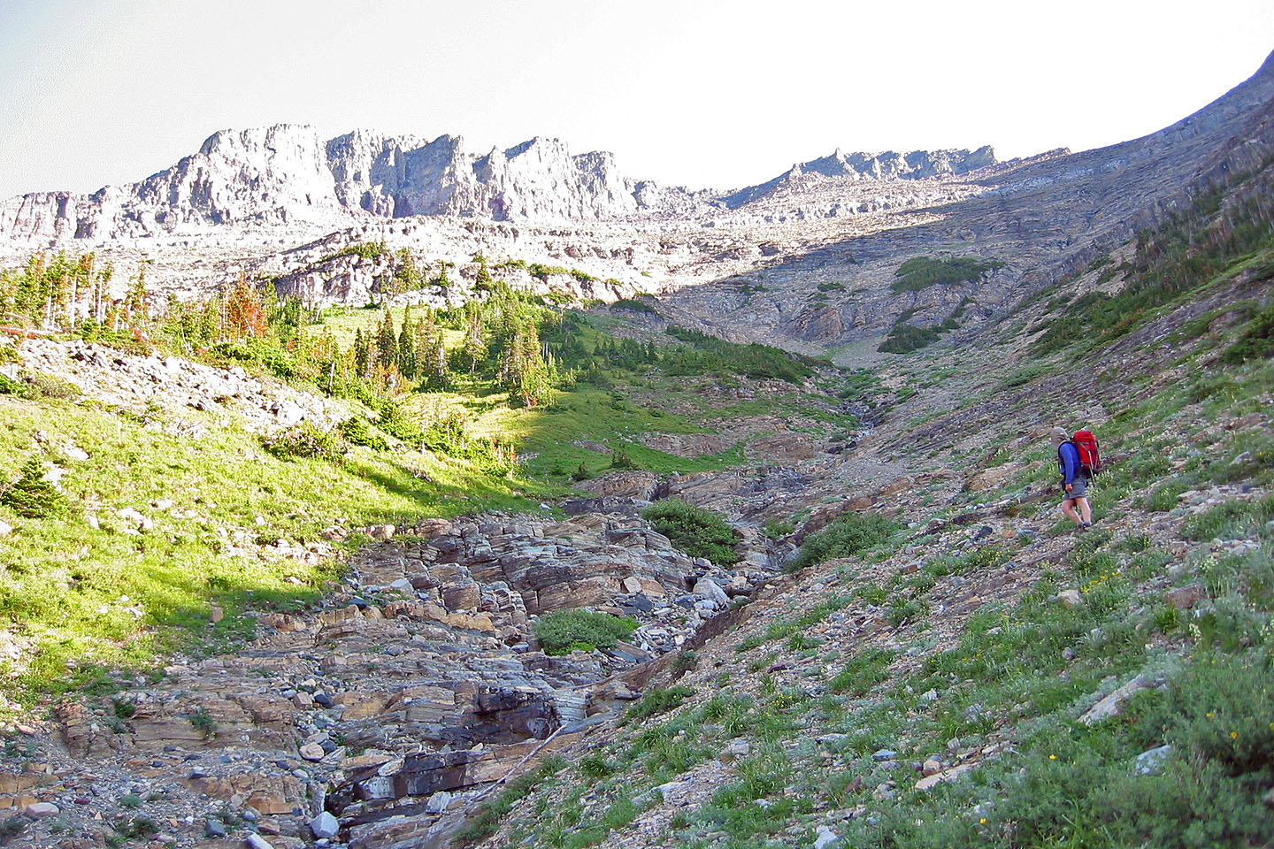
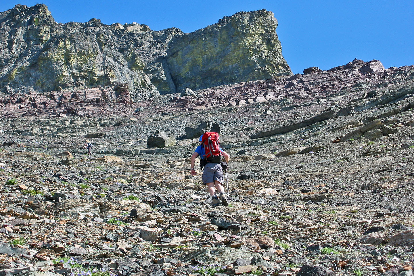
After leaving the trail, we started up the gully
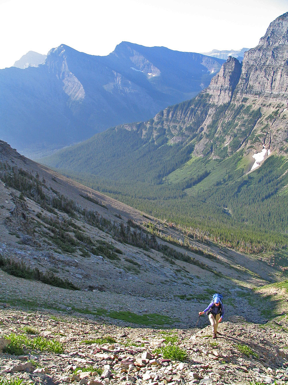
Looking back
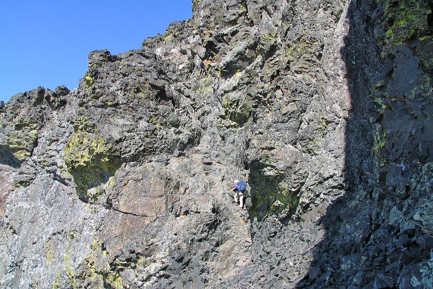
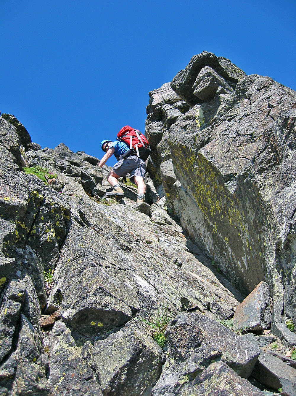
Enjoyable climbing here
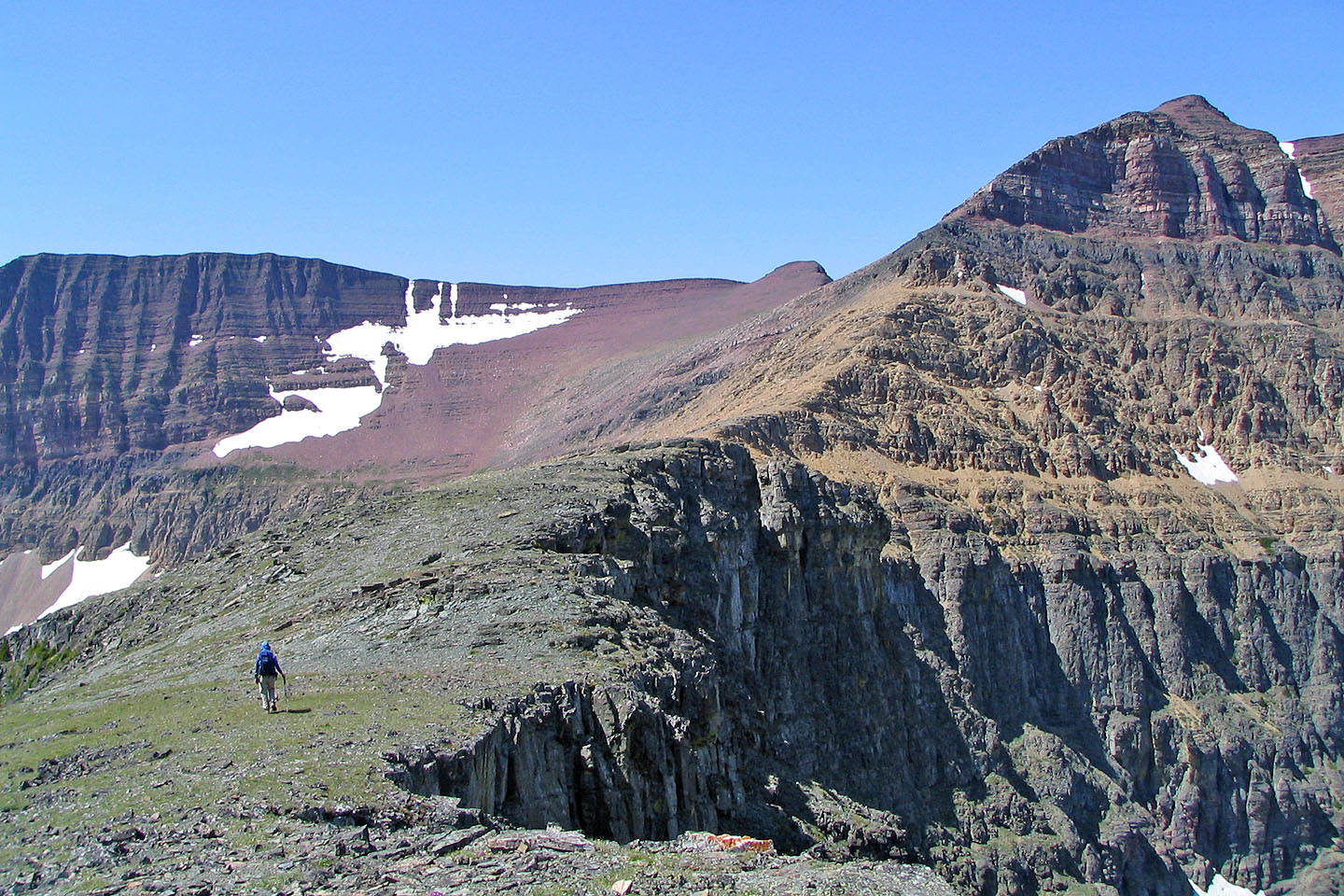
Looking east toward the basin between Mount Hawkins and Mount Lineham
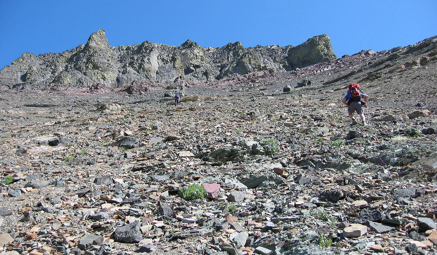
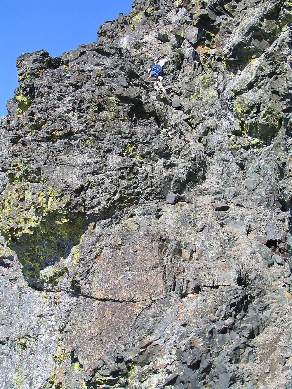
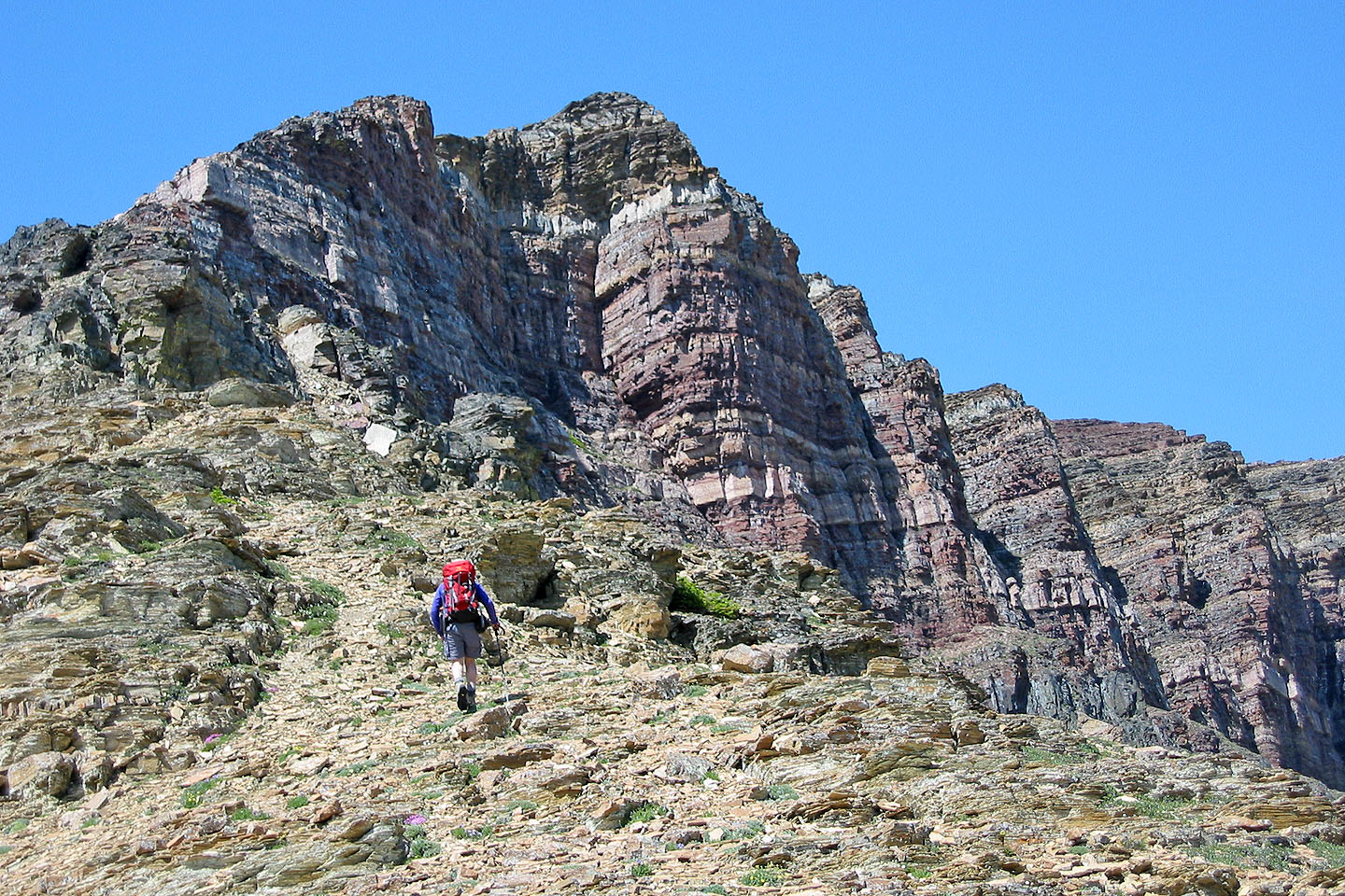
Like two other parties that day, we had trouble finding the couloir. Head for the rock buttress above me.
Looking down at the valley
The couloir is left of the buttress but hidden
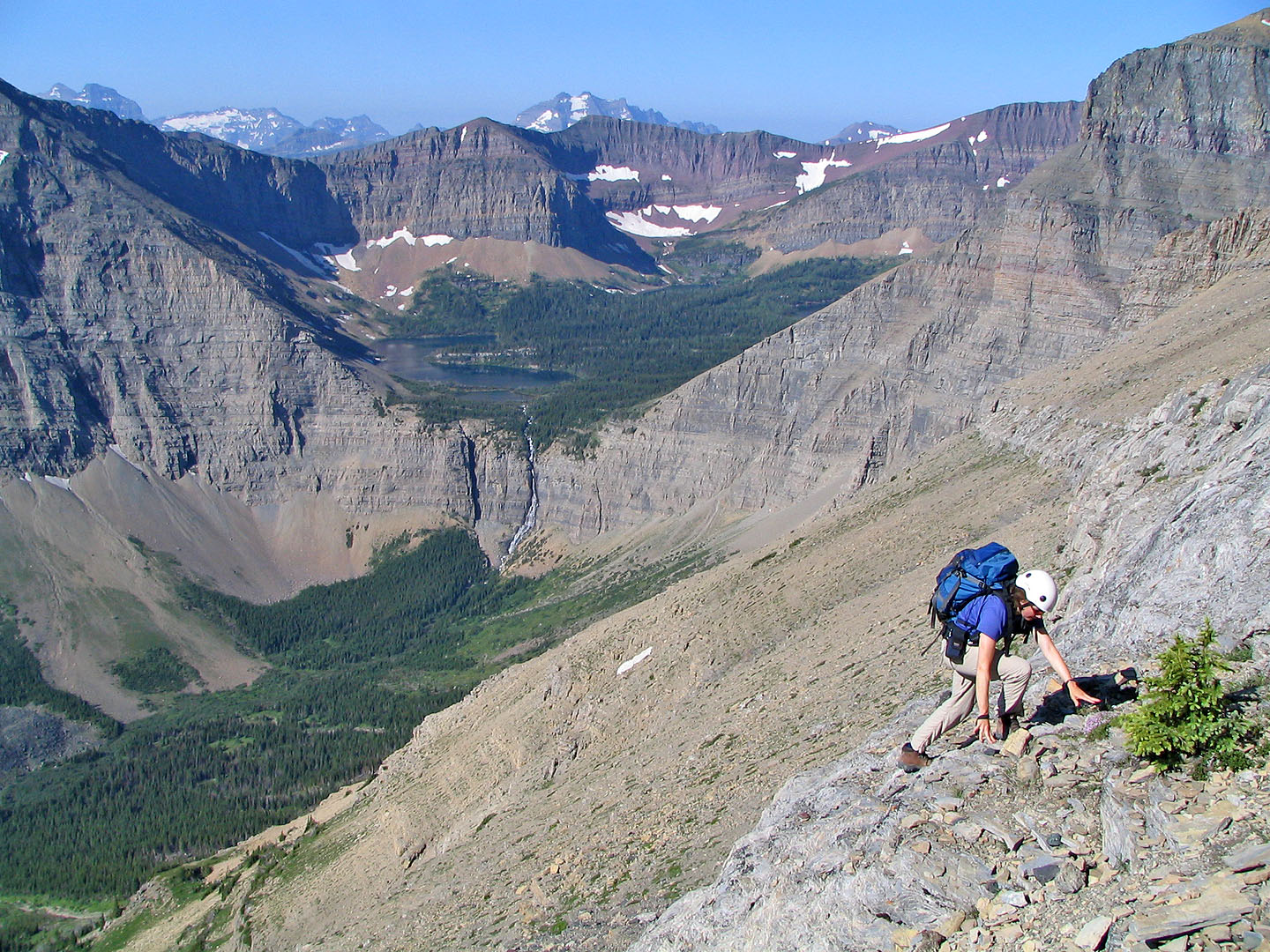
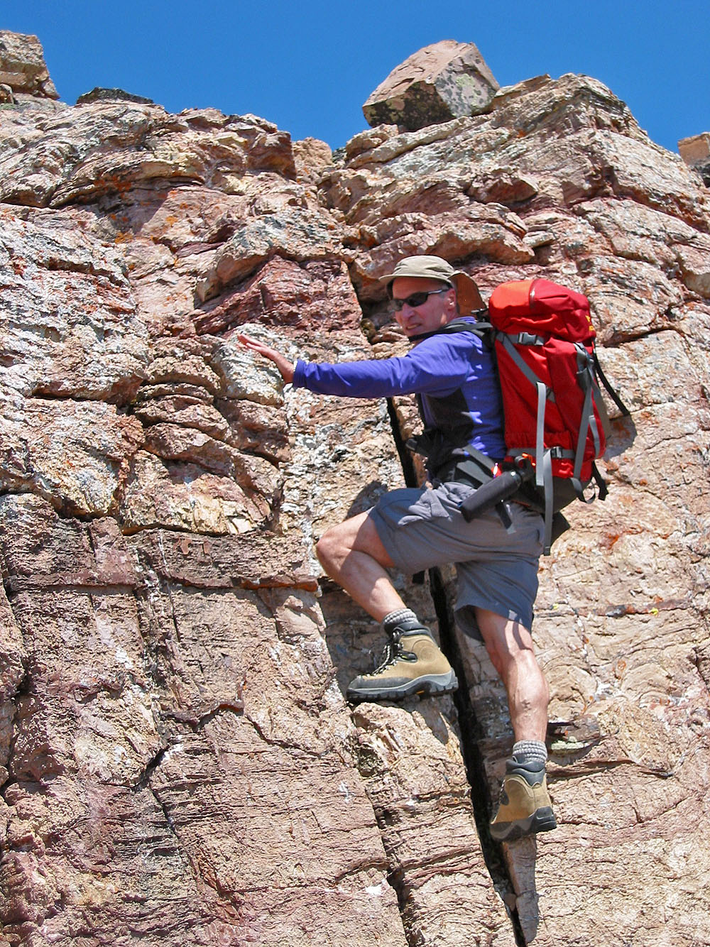
Scrambling up the couloir
I waited until there's no risk of falling rock before starting up (mouse over)
We continued scrambling to the top of Mount Blakiston (mouse over to look down)
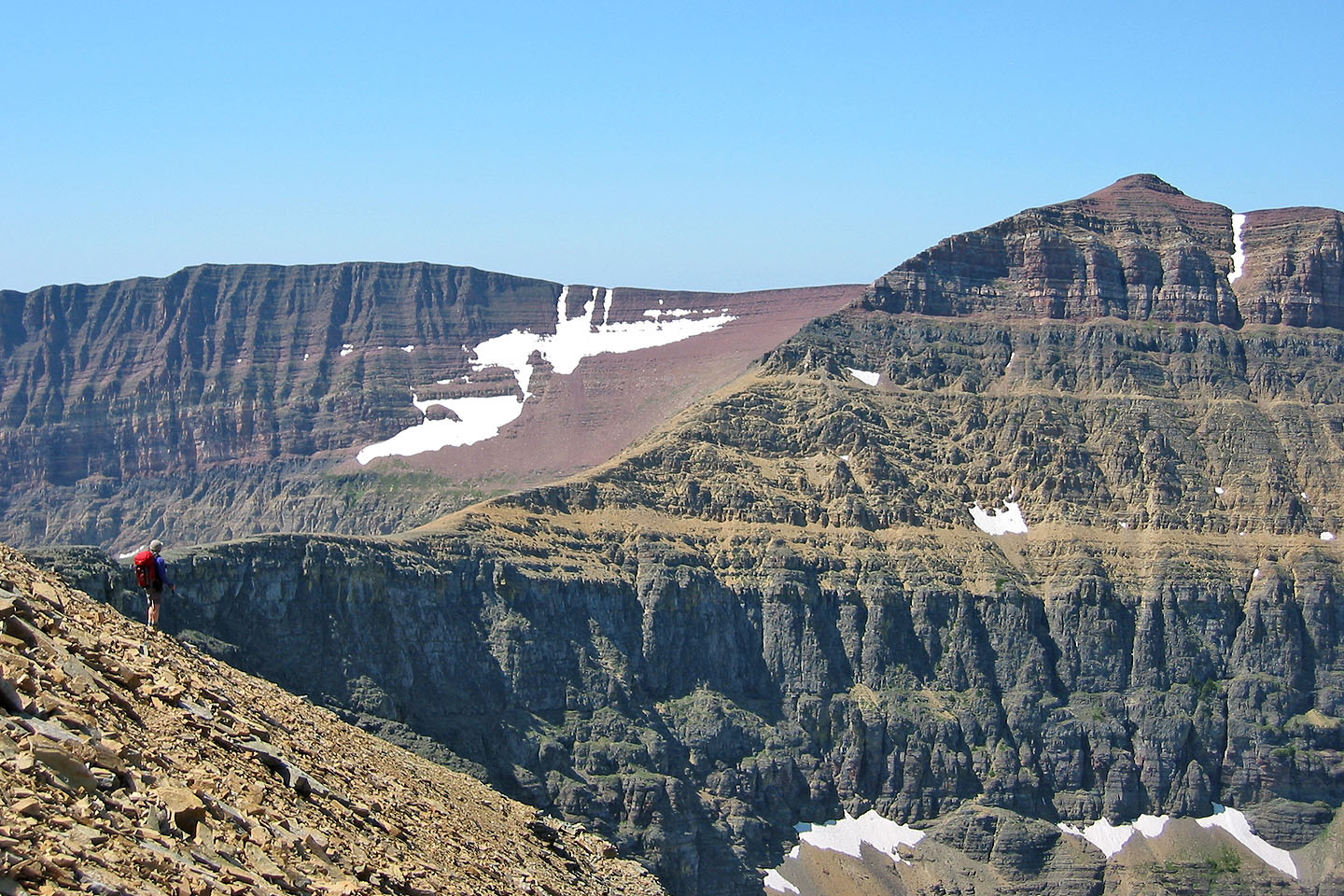
After gaining the crest, we can see the connecting ridges from Mount Lineham (far left) to Mount Hawkins
On the summit of Mount Blakiston
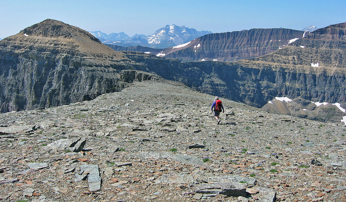
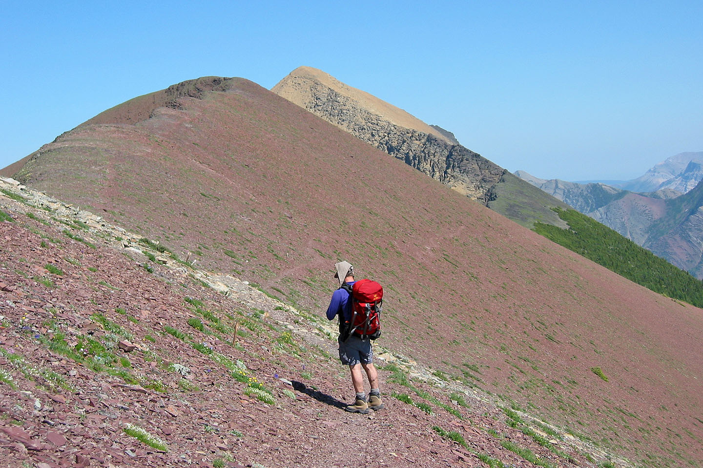
Heading to Mount Hawkins on the far right
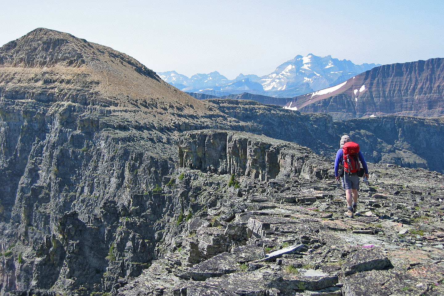
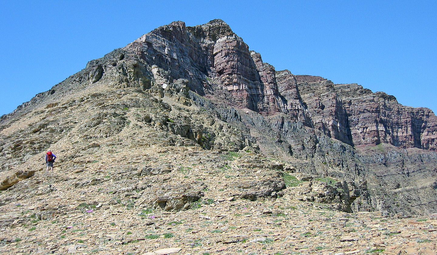
The route climbs partway up the high point ahead
Starting up the high point
Looking back through a break we used
Coming down on a trail in the scree
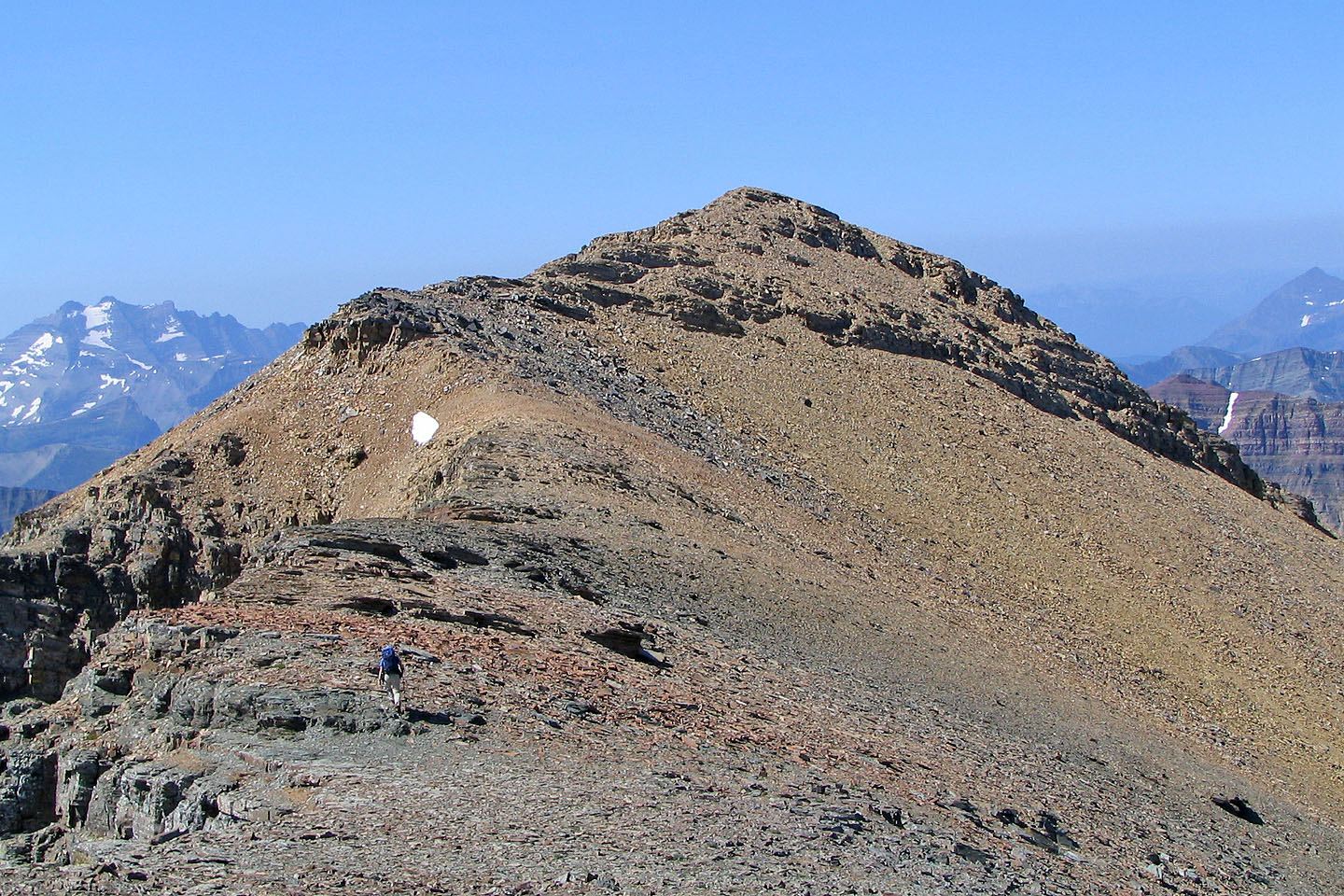
A variety of colours appeared as we approached Mount Hawkins
Fortunately the summit of Mount Hawkins is at the near end
Hiking up the lower slopes of Hawkins
We kept left, seeking a way up the cliffs
Scrambling up a short cliff
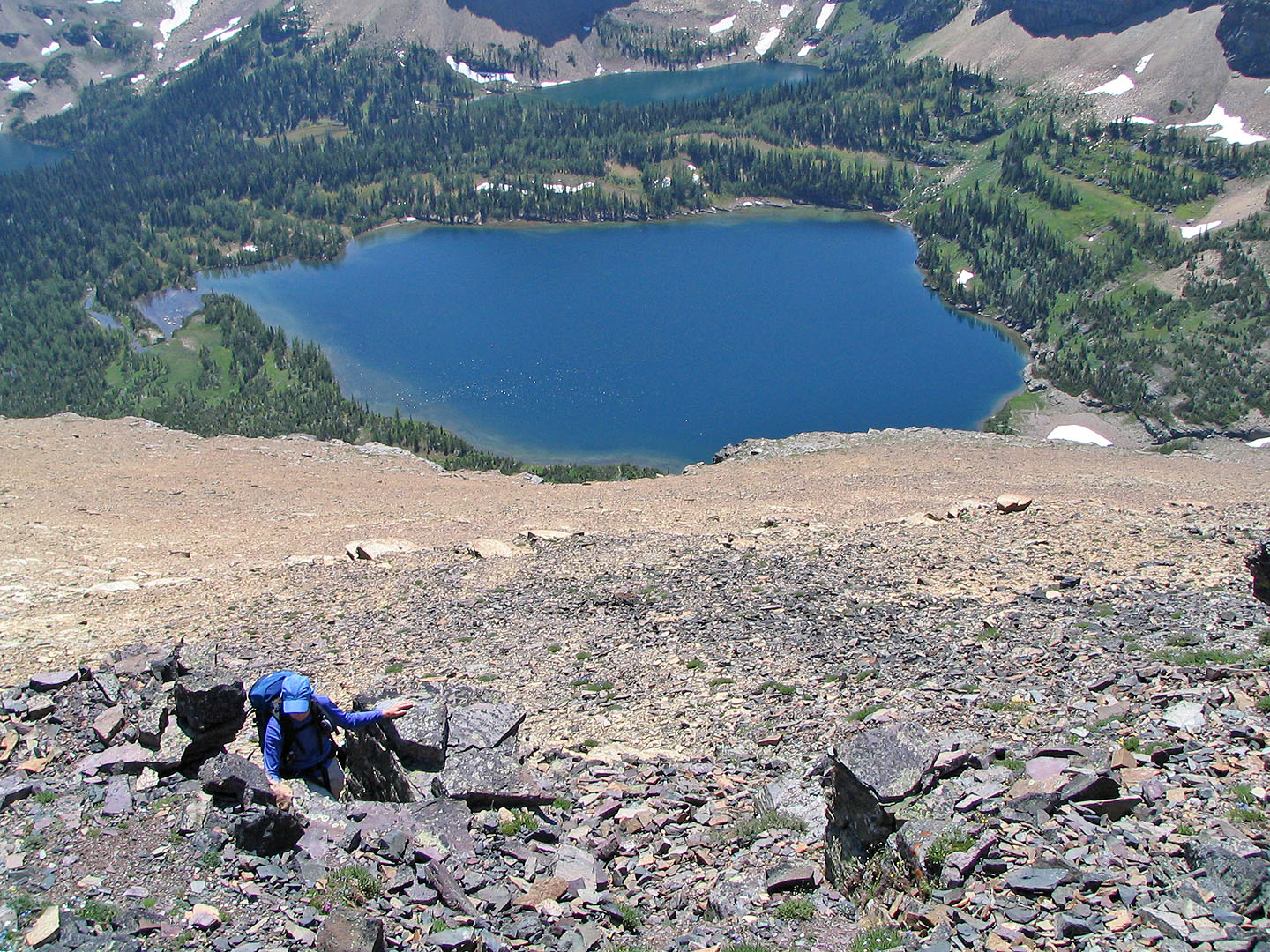
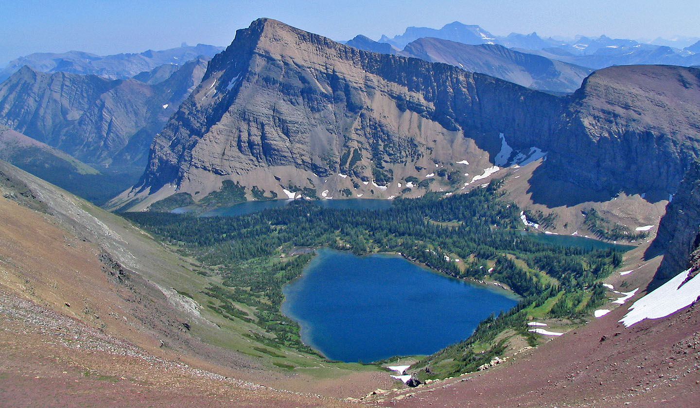
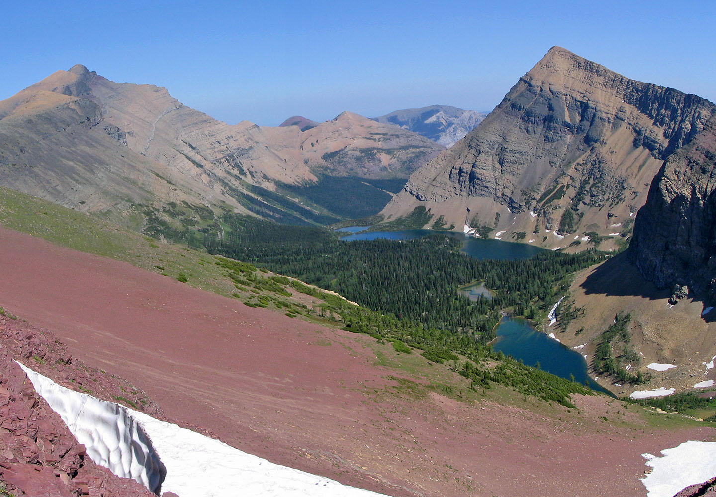
Below Hawkins is one of the Lineham Lakes
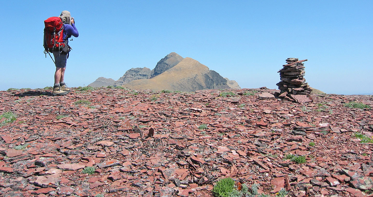
From the summit of Hawkins, I took a photo of Blakiston (mouse over)
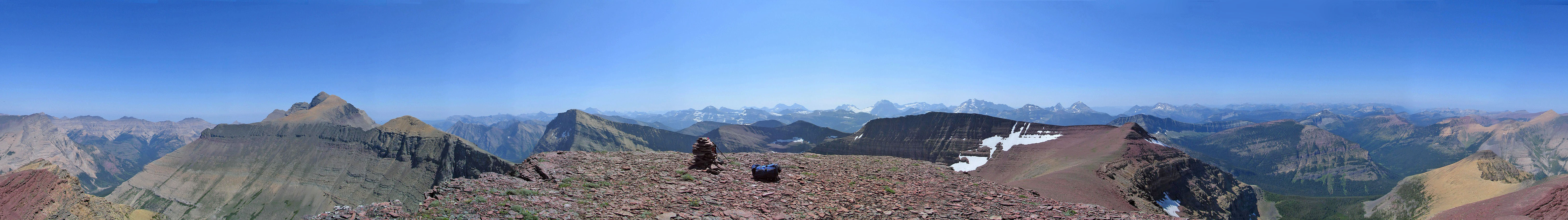
360° View from the top of Mount Hawkins. Mount Blakiston and Mount Lineham are on the left.
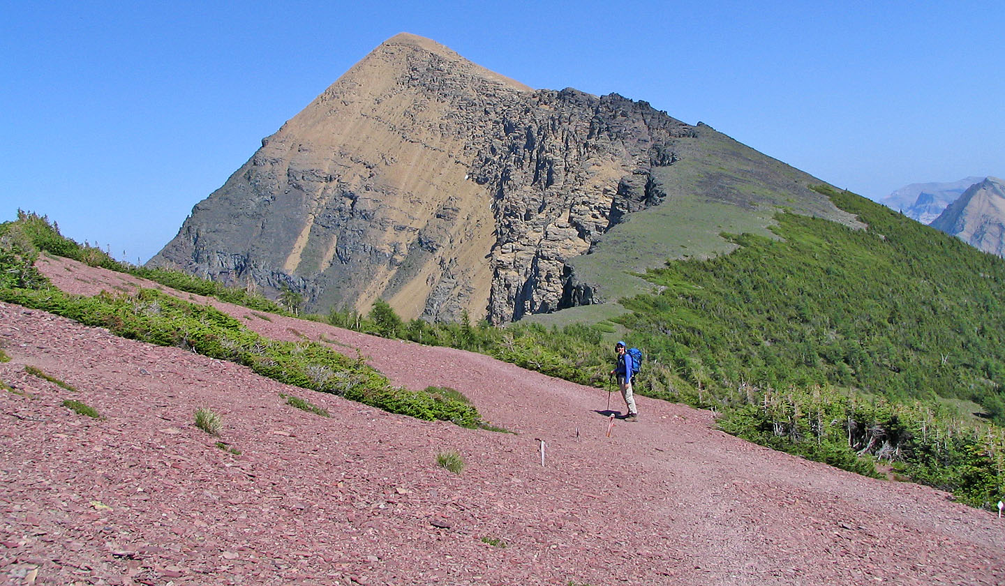
After leaving Mount Hawkins we head for the ridge that leads to Mount Lineham
 Mount Lineham and Lineham
Lakes after leaving Mount Hawkins
Mount Lineham and Lineham
Lakes after leaving Mount Hawkins
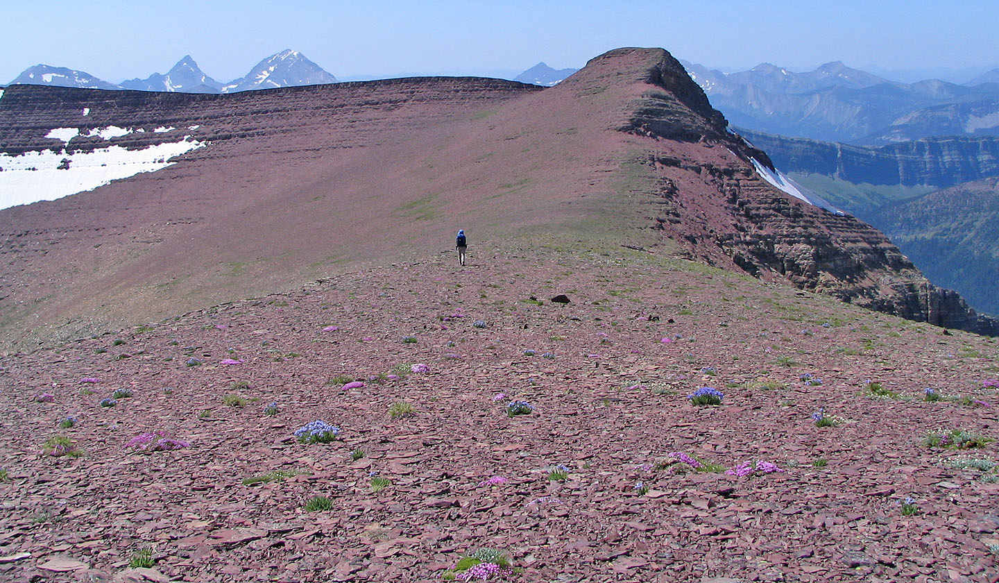
An enjoyable ridge walk
The summit of Lineham appears after the next high point
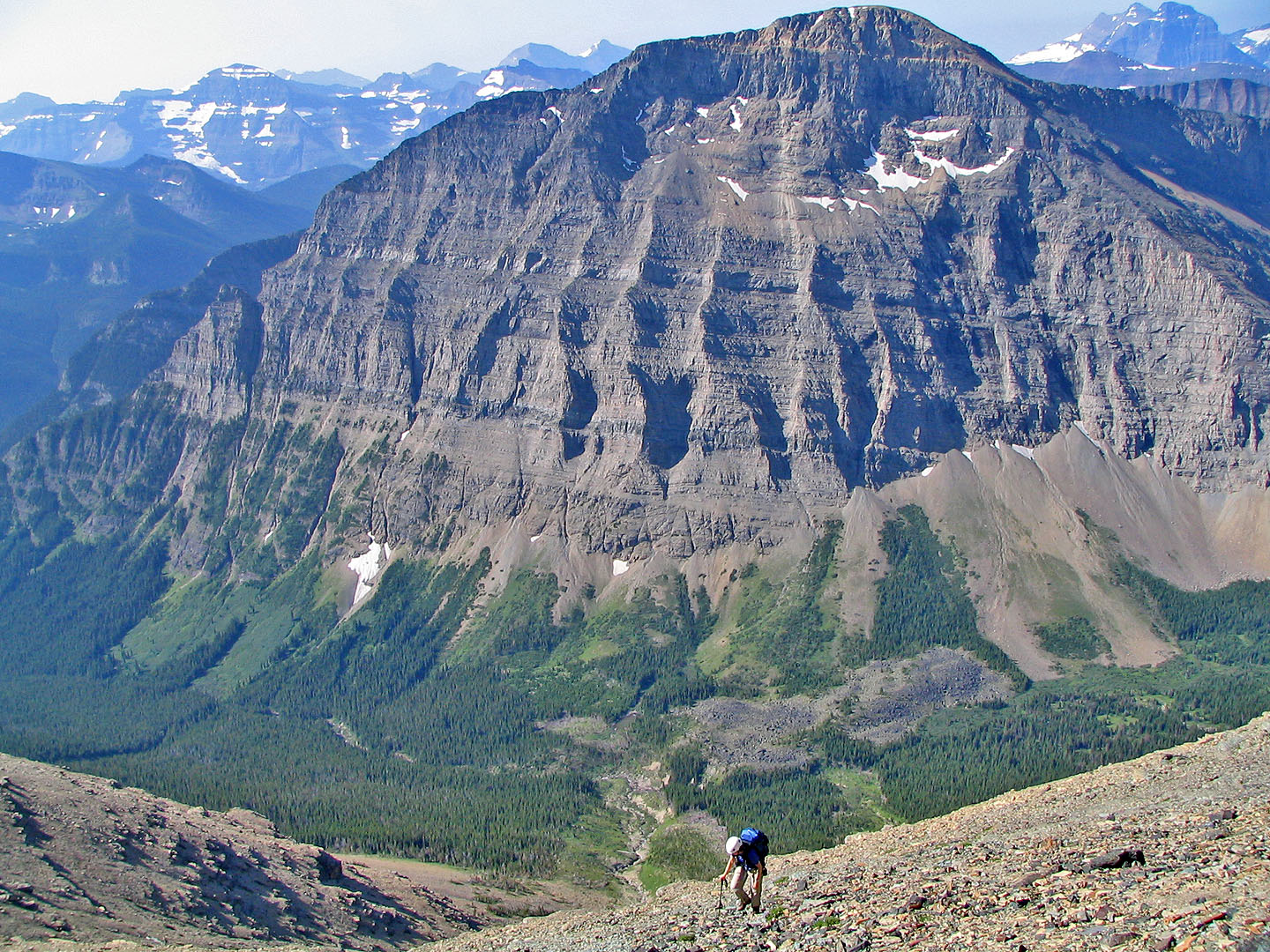
View of the valley
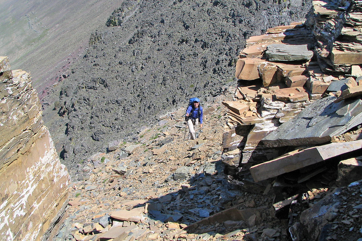
We found the ascent of Mount Lineham demanding as we were tired by this time
Looking across the valley at Blakiston
We followed the ridge to the summit of Lineham
Looking down at the lakes from Mount Lineham
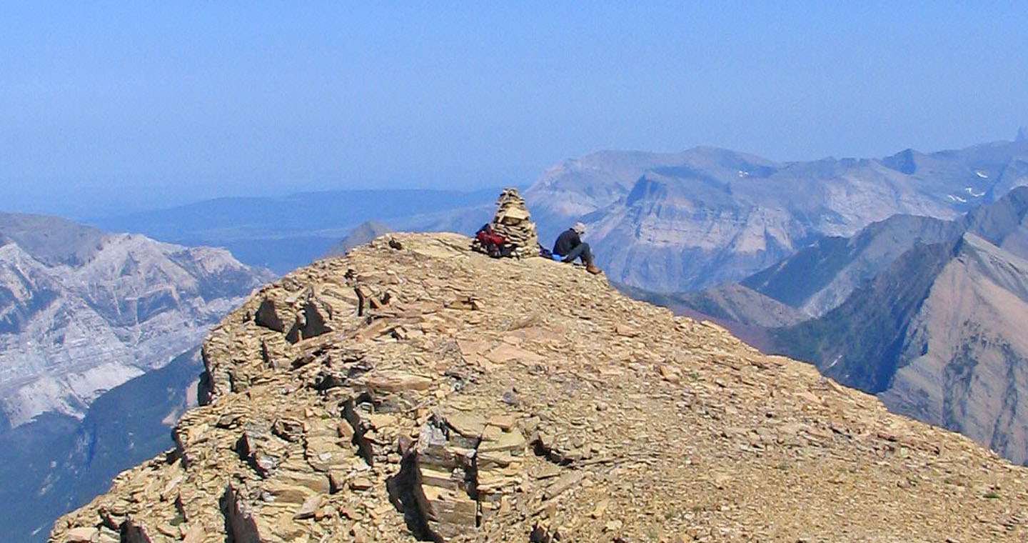
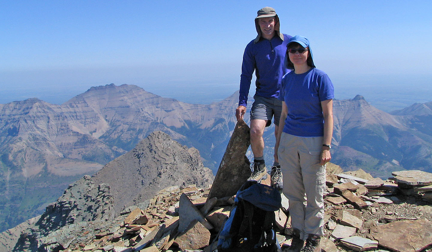
Sitting by the summit cairn

Panorama from the summit of Mount Lineham
82 G/1 Sage Creek