bobspirko.ca | Home | Canada Trips | US Trips | Hiking | Snowshoeing | MAP | About
Bertha Peak
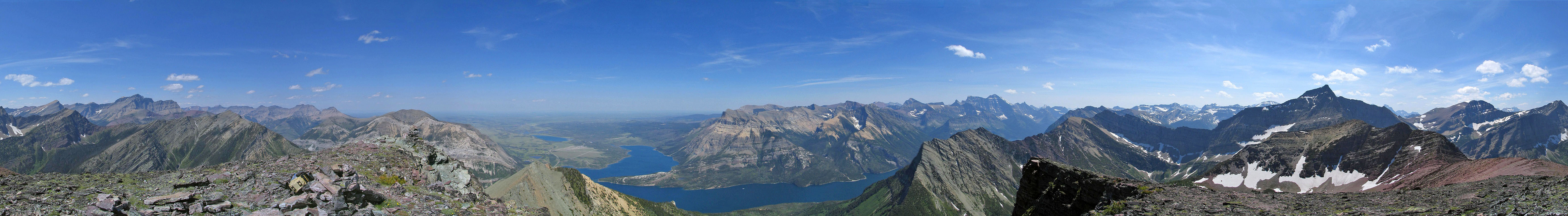
Waterton Lakes National Park, Alberta
July 9, 2004
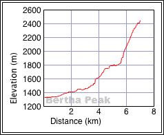
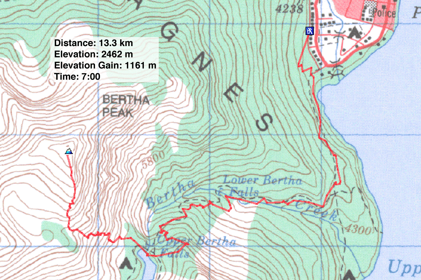
Distance: 13.3 km (8.3 mi)
Cumulative Elevation Gain: 1200 m (3937 ft)
The trip to Bertha Peak begins at Waterton townsite, up the trail to Bertha Lake. From the lake, Scrambles in the Canadian Rockies proposes two possible routes: left or right of the waterfall. The easier route is on the left, but Dinah and I took the route on the right, up a series of gullies. By avoiding the scree and sticking to solid rock, we found good scrambling. However, there was more routefinding than I expected. After reaching the ridgetop, we enjoyed the ridgewalk to the summit.
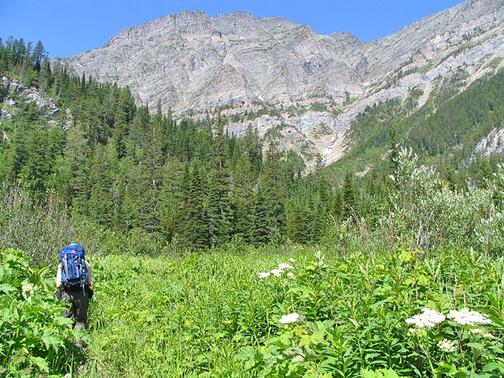
Hiking to Bertha Lake
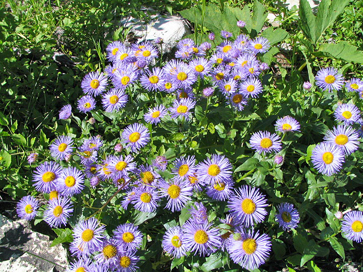
Purple asters
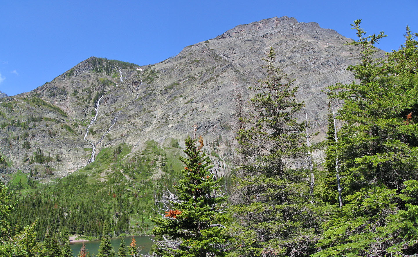
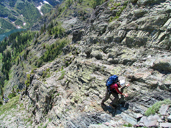
Bertha Peak from Bertha Lake: we ascended right of the waterfall
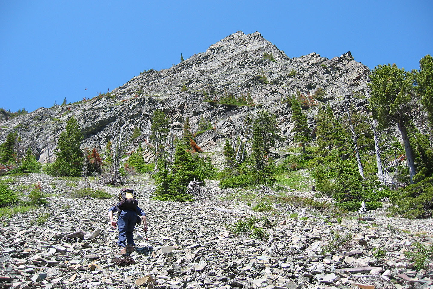
Heading to the base of the mountain
Starting up the rocky slope
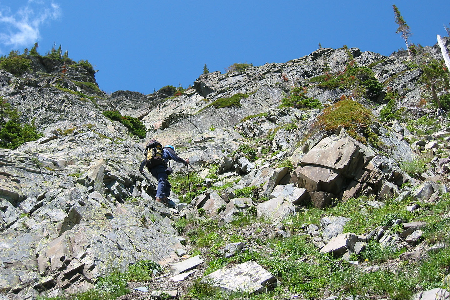
We started up in a gully to the right of the waterfall
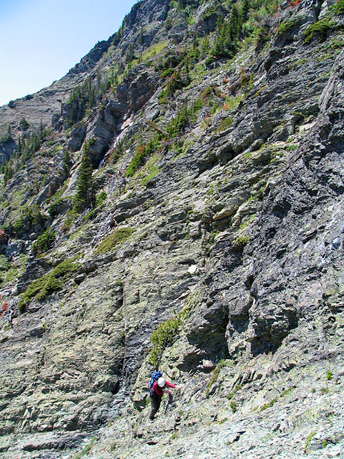
Typical scrambling on the lower slope. You run into scree if you go left
towards the waterfalls.
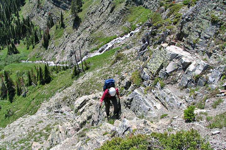
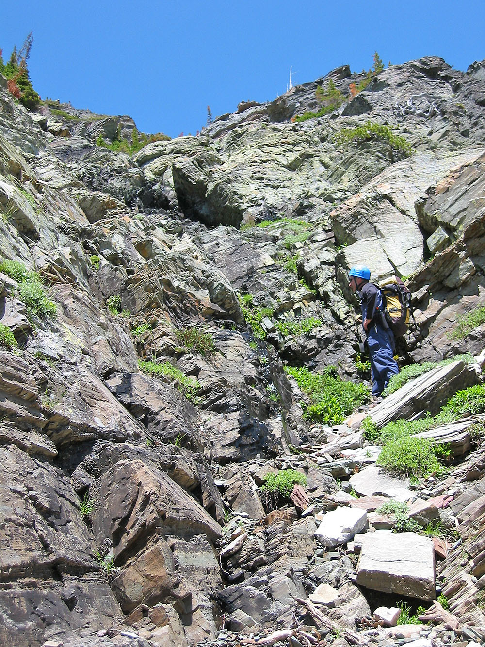
We found a good diagonal to ascend
Colourful rocks everywhere
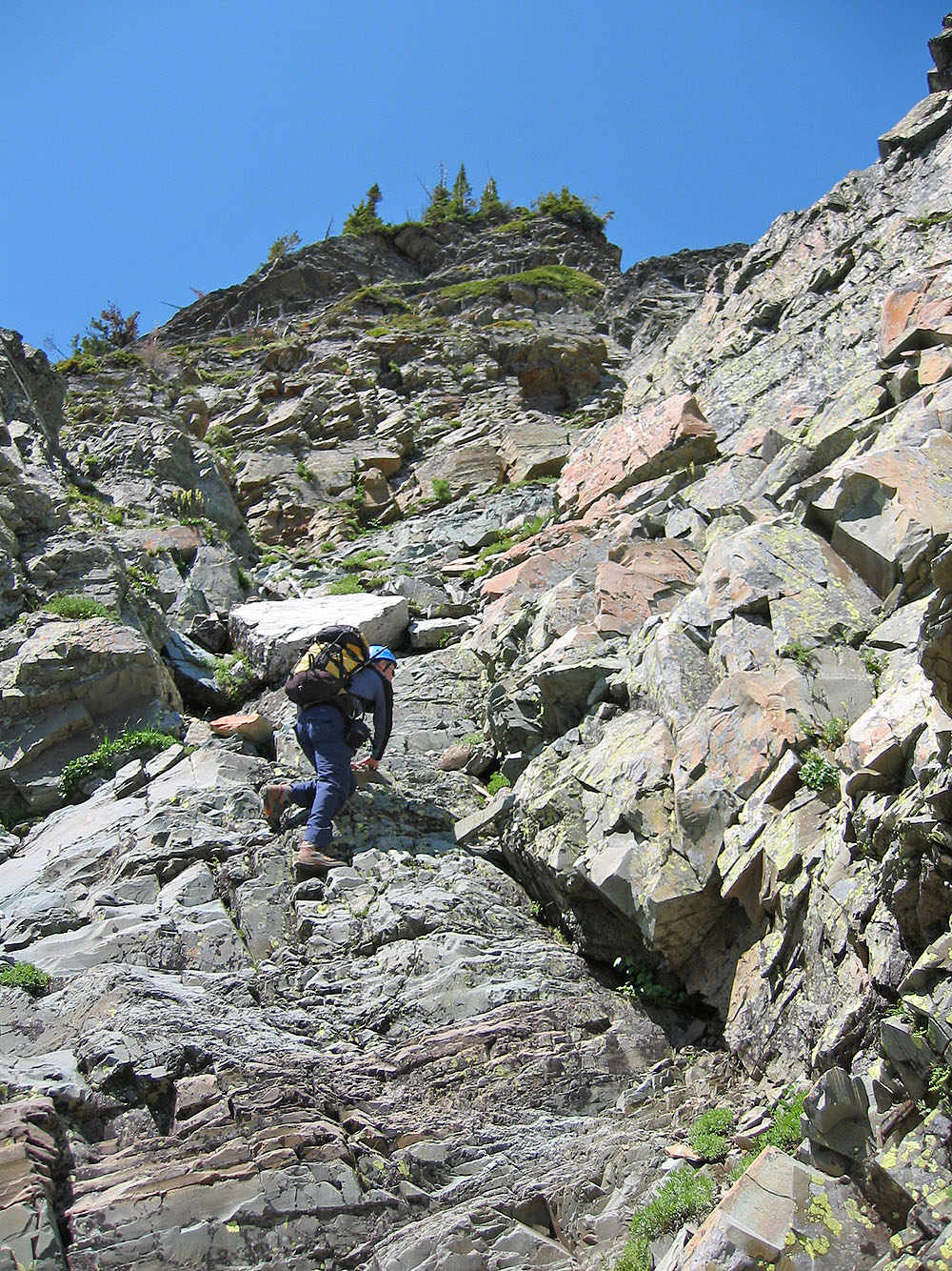
We were kept busy looking for a good route up
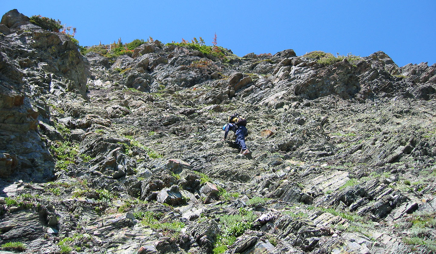
Routefinding becomes easier near the top
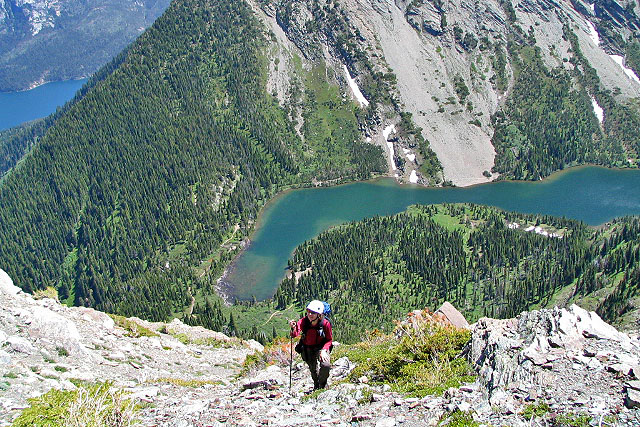
The grade eases near the ridge crest. Bertha Lake below.
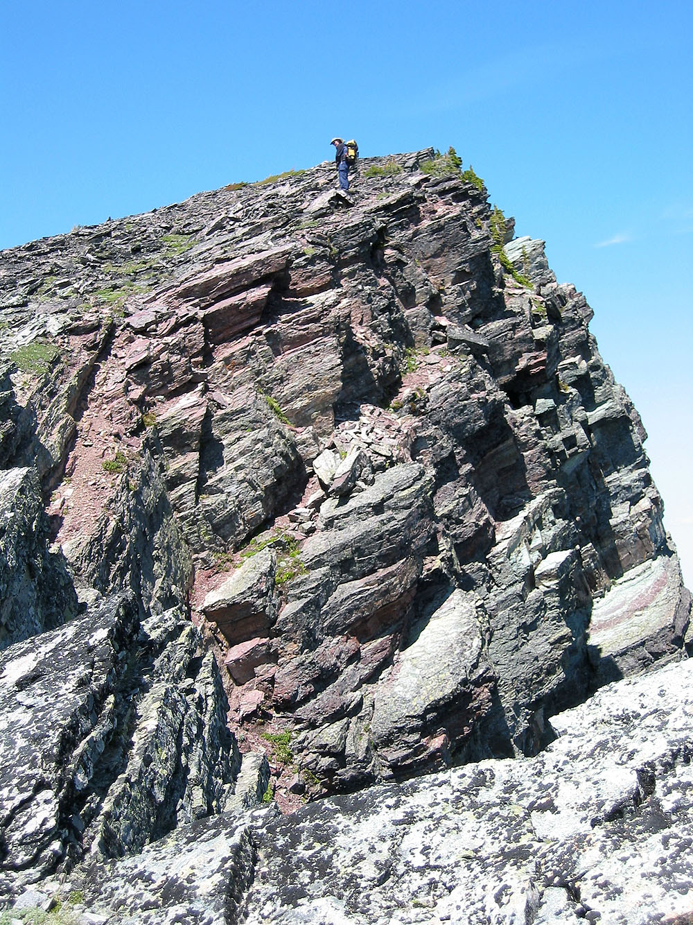
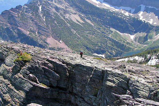
We reached the ridge crest
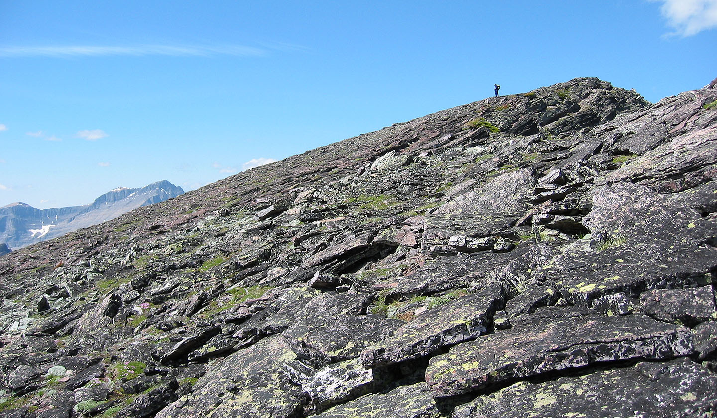
On the ridge, it's a wide-open hike to the top
Looking back
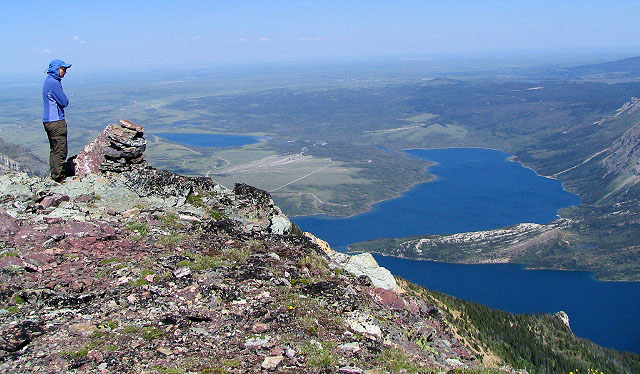
On the summit
82 H/4 Waterton Lakes