bobspirko.ca | Home | Canada Trips | US Trips | Hiking | Snowshoeing | MAP | About
Windy Peak
Red Rock Canyon NCA, Nevada
October 25, 2009
Distance: 9.0 km (5.6 mi)
Cumulative Elevation Gain: 686 m (2251 ft)
After flying into Las Vegas from Calgary the day before, Dinah and I had much to do, but we had time for a quick trip so we climbed Windy Peak. From the Rio Hotel, it was less than an hour's drive to the back roads off of Blue Diamond Road. We started driving down the longer, narrower road but became concerned about getting stuck in the soft tracks. Also the encroaching thorny bushes scratched the sides of our car rental. So instead, we drove down the shorter, more rugged jeep trail as far as we could and then hiked 1.7 km to the trailhead.
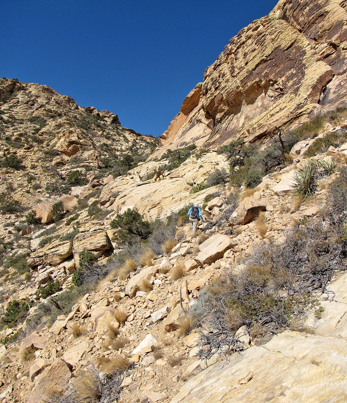
We had little route information except for a map showing the way. But it was enough as we soon hit upon a trail after leaving the road. The trail swung around the left side of the mountain before ascending to a level section called the “Football Field.” Past that, the trail climbed and then abruptly disappeared about 250 m below the summit. Clearly we had to keep climbing up a rugged, vegetated ravine, but the best way wasn't apparent. We kept right, trying to avoid cacti and bushes while skirting steep slabs.
Shrubbery eventually gave way to bare rock where the occasional cairn indicated that we were on track. The top flattened out, and we made our way to the cairn holding a register.
Our route was rather easy, and it was only later that we learned there was an east route that required much more scrambling. Nonetheless, we were happy to have summited this little desert peak.
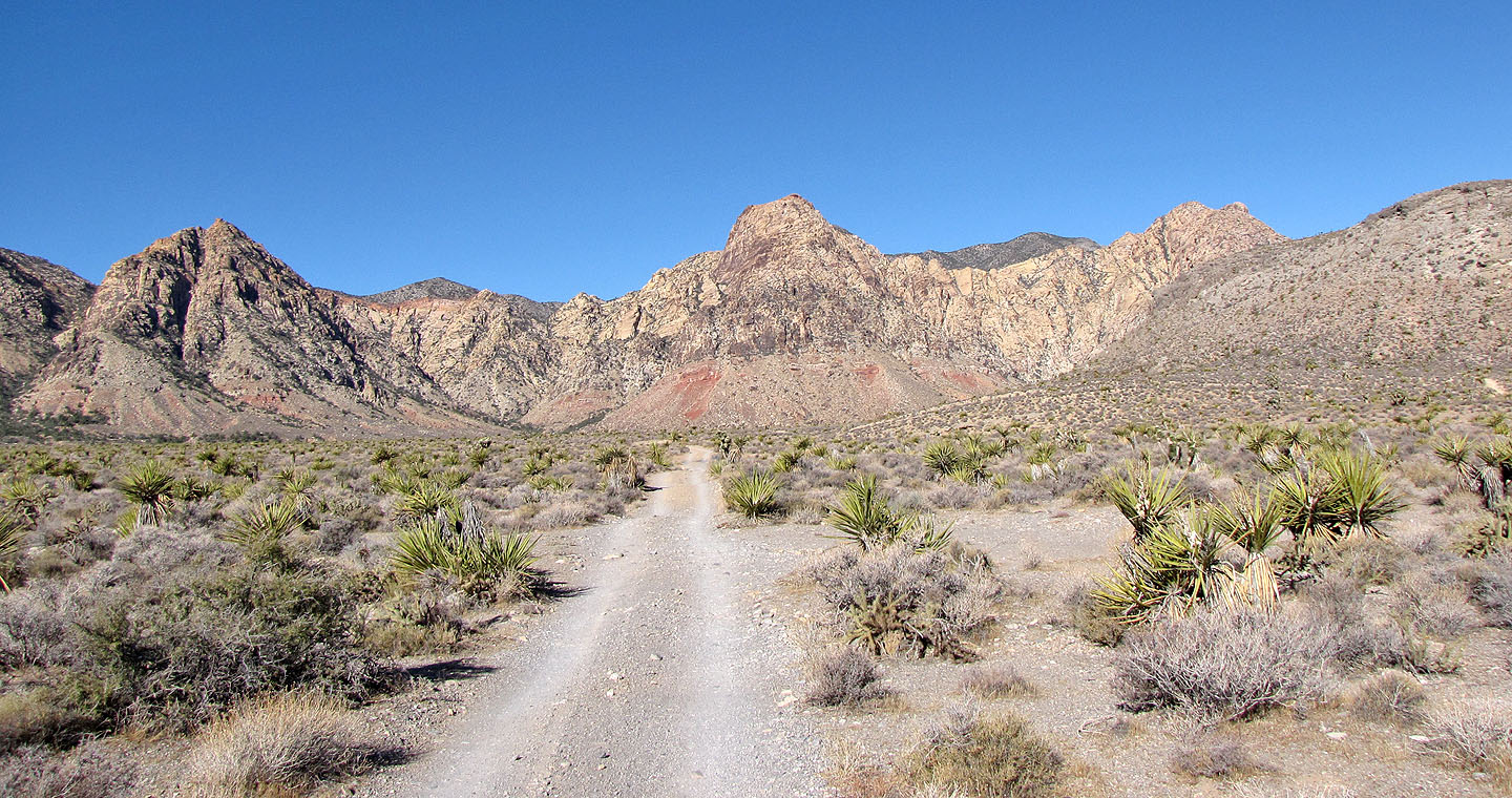
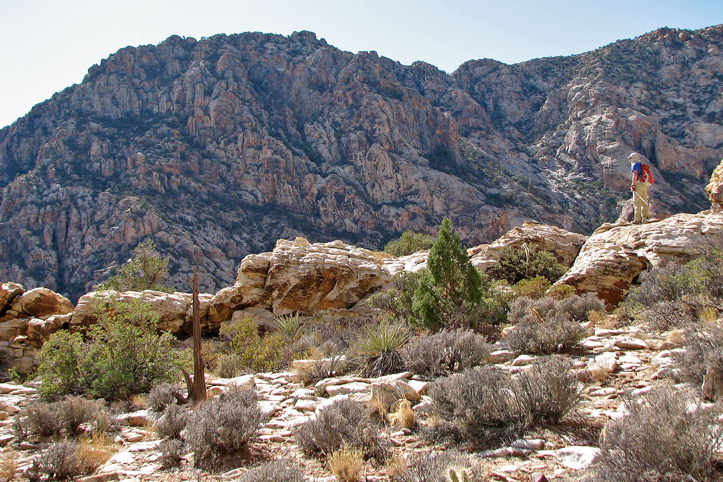
The road leads to Windy Peak, false summit seen here
After leaving the road, we will head to the left side
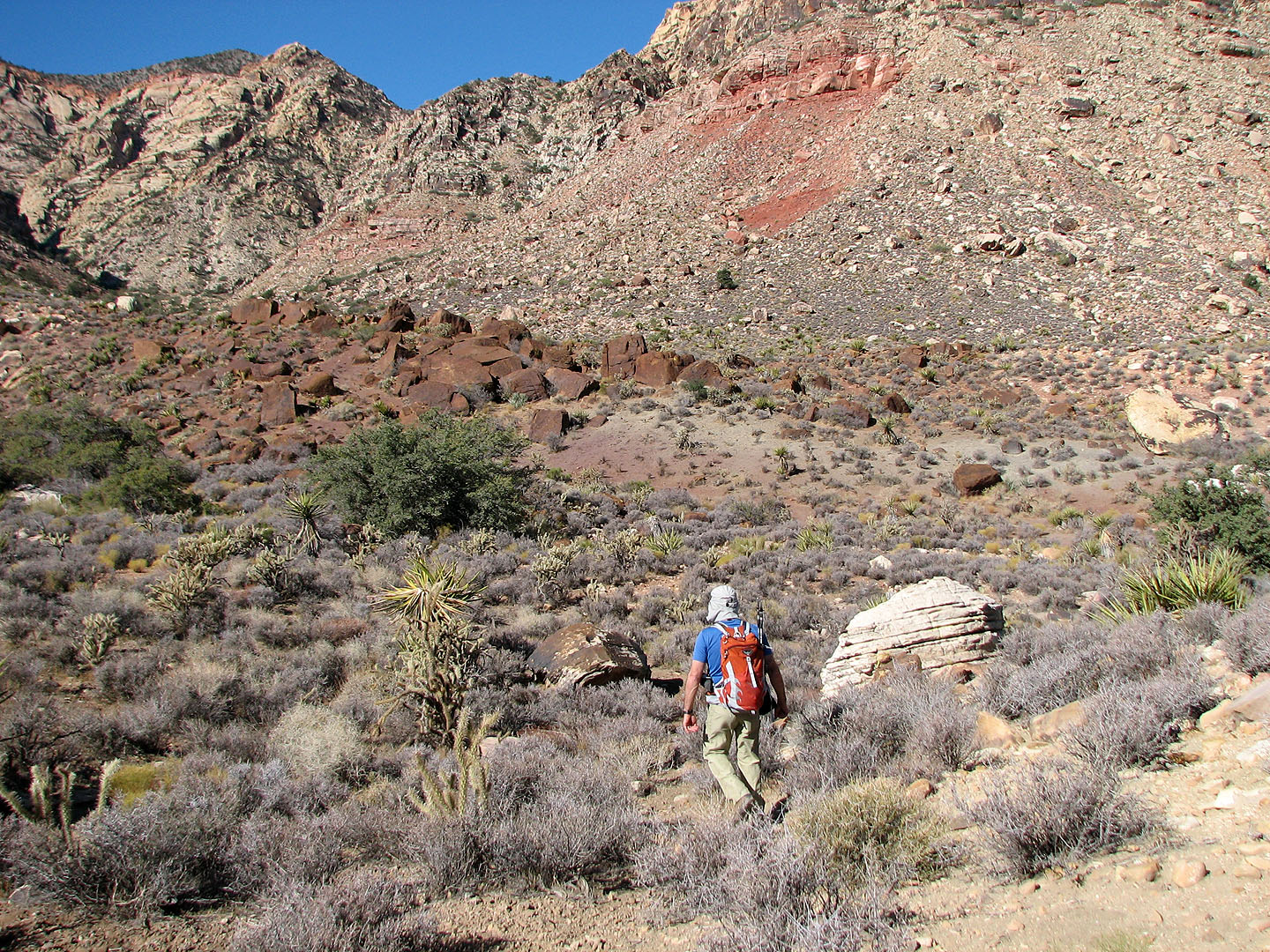
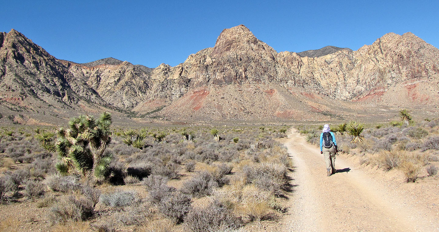
Heading to the mountain base
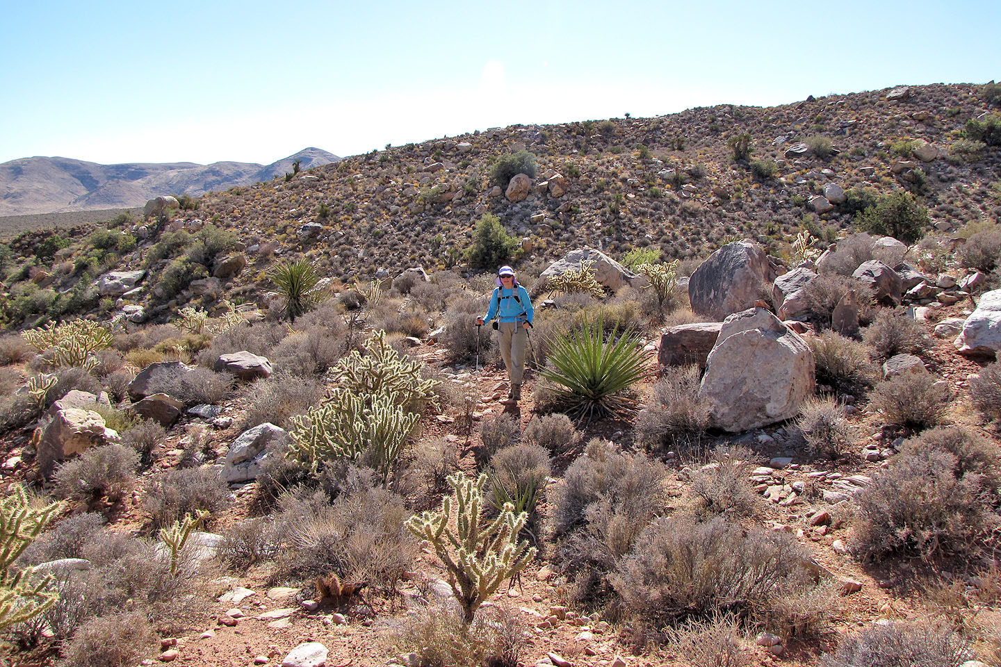
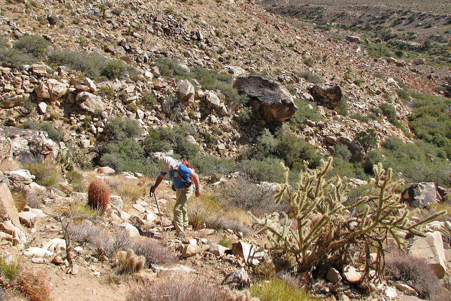
Dinah makes her way around the desert plants
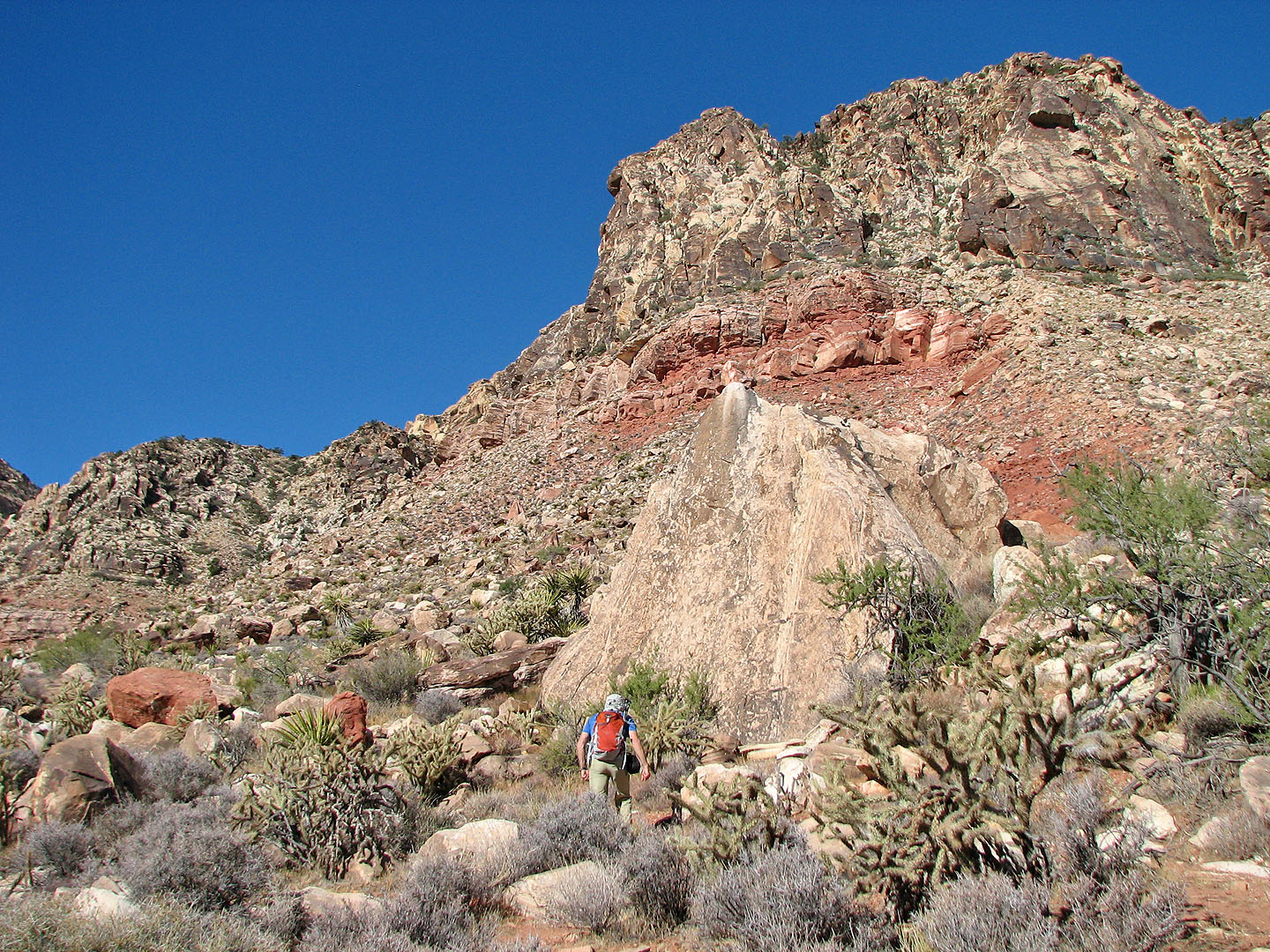
One of many huge boulders we passed
The trail skirts the mountain base before rising
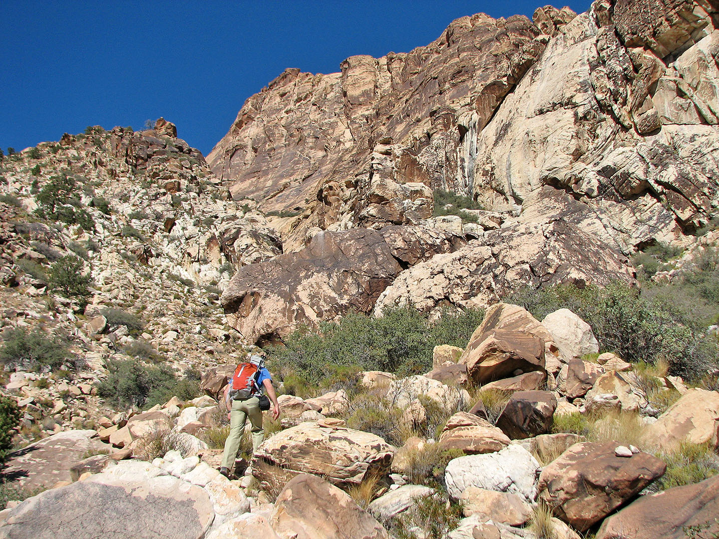
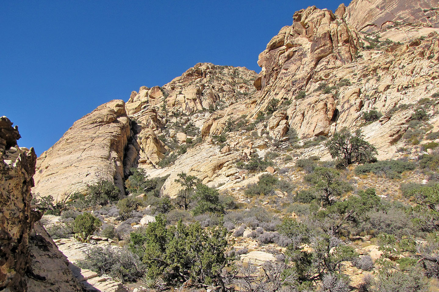
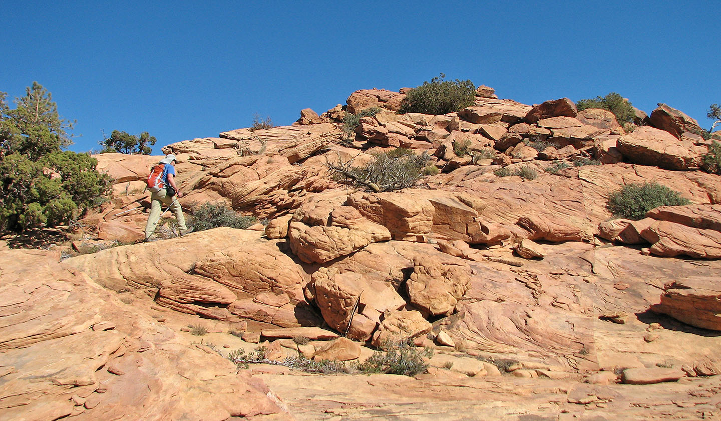
Finally we started to ascend
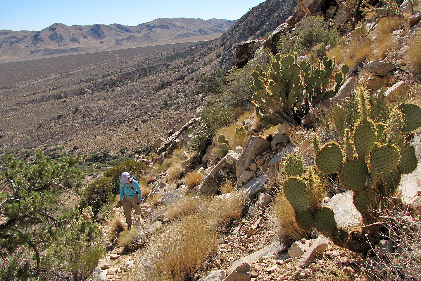
Prickly pear cacti on the right and shrub live oak on the left (mouse over)
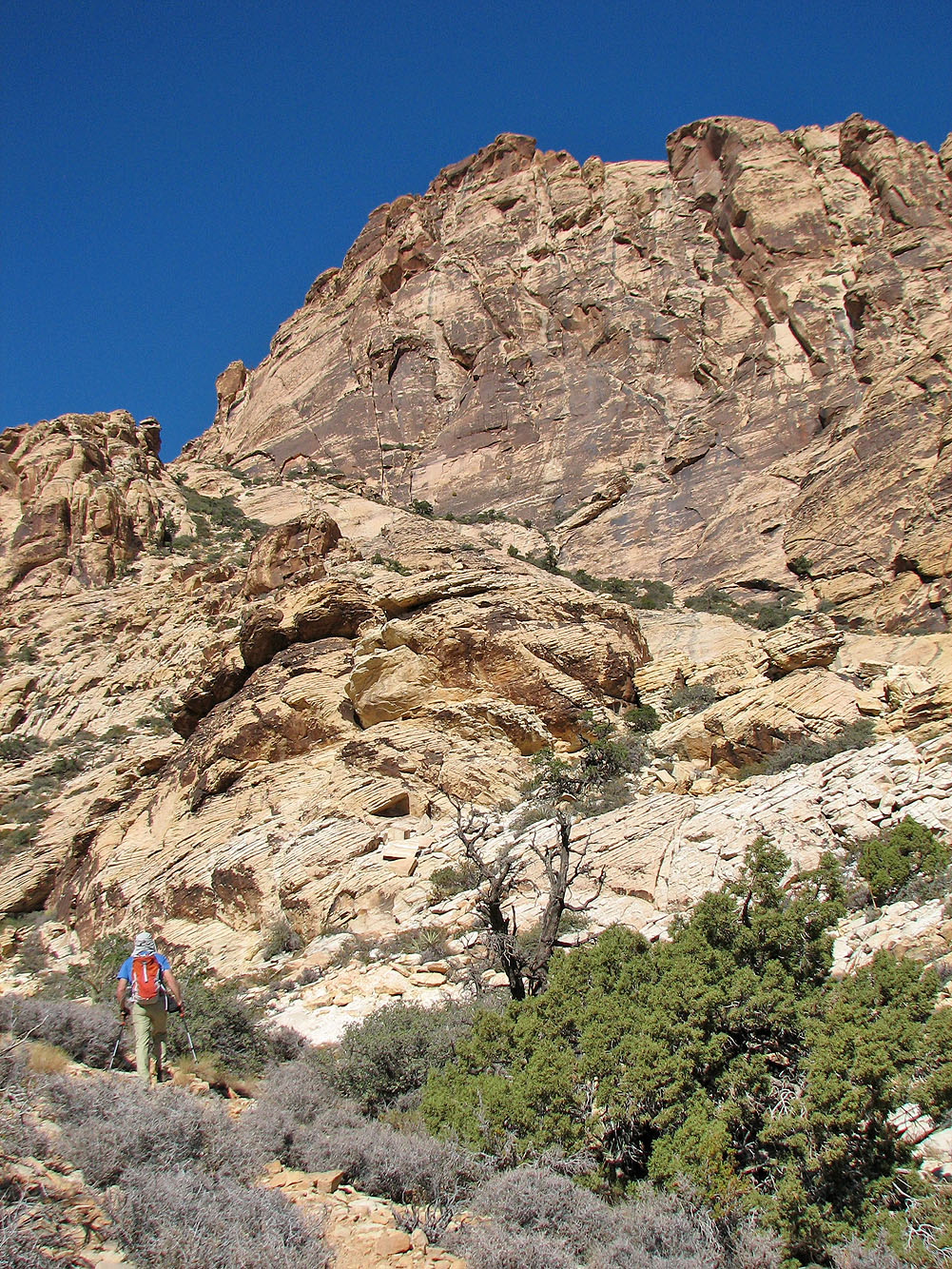
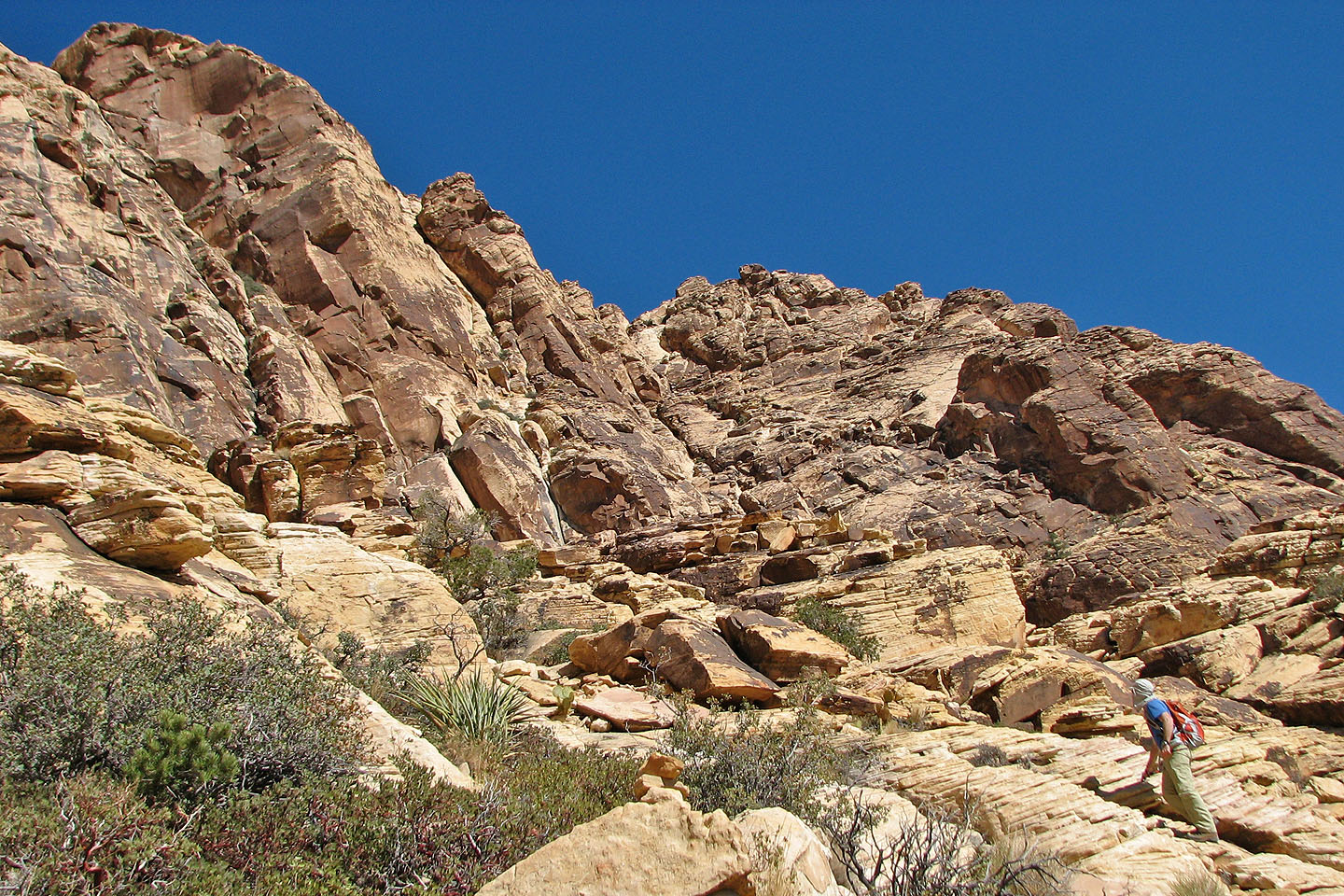
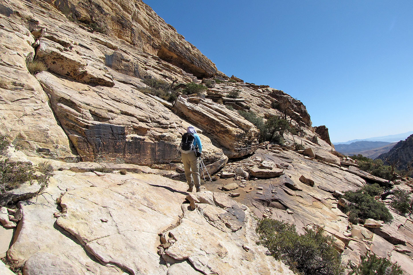
Impressive cliffs below the summit
The Football Field
Hollow Rock Peak on the left
The trail winds up the ravine ahead
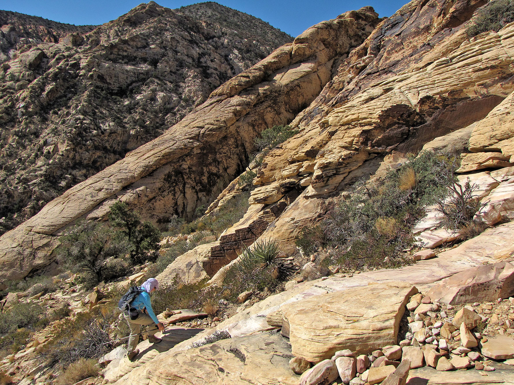
The trail swings right
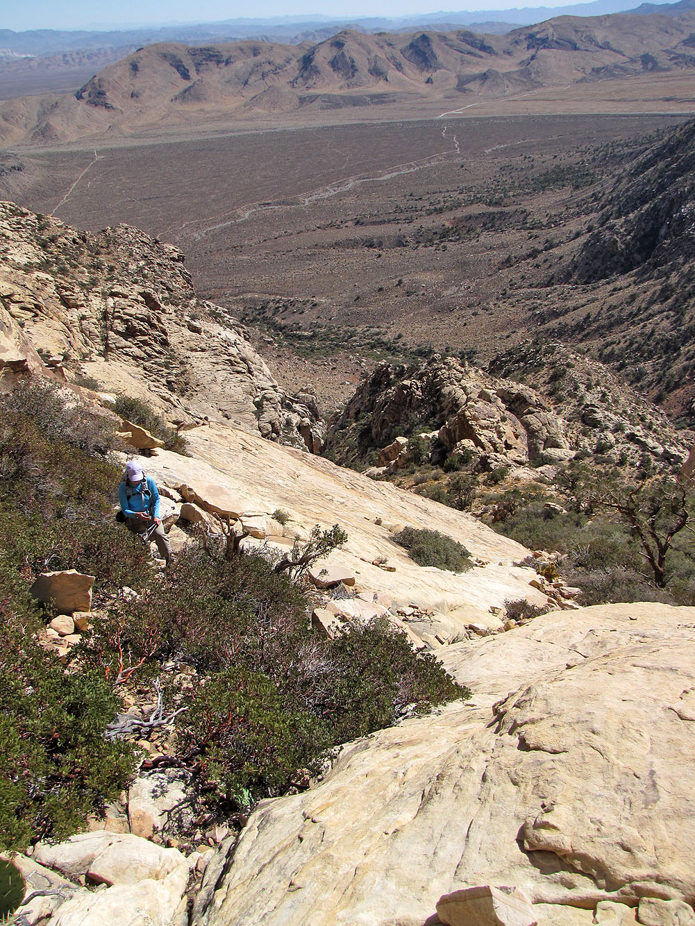
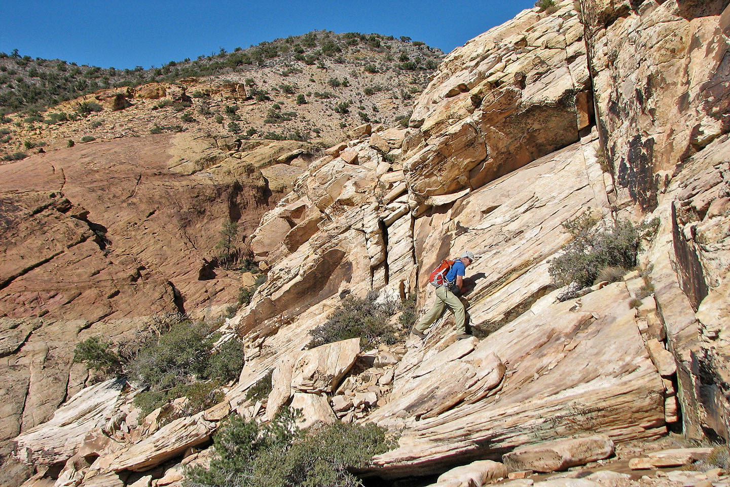
Looking down at a rock slab we climbed up. Cottonwood Peak in the upper right.
We continue climbing while keeping right
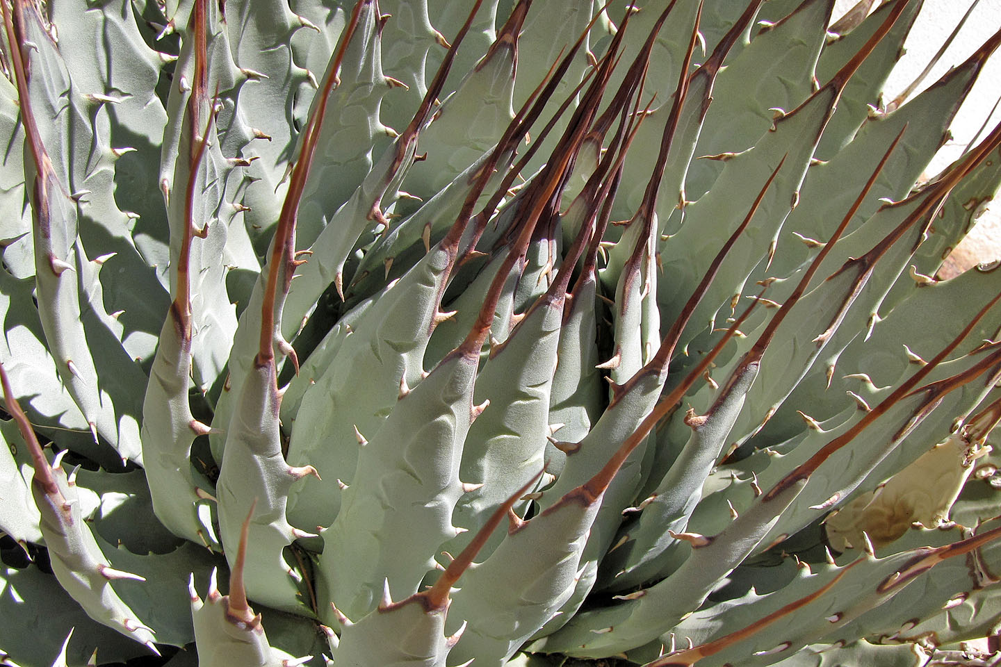
Agave detail (mouse over to back up)
We stopped to look where the route goes
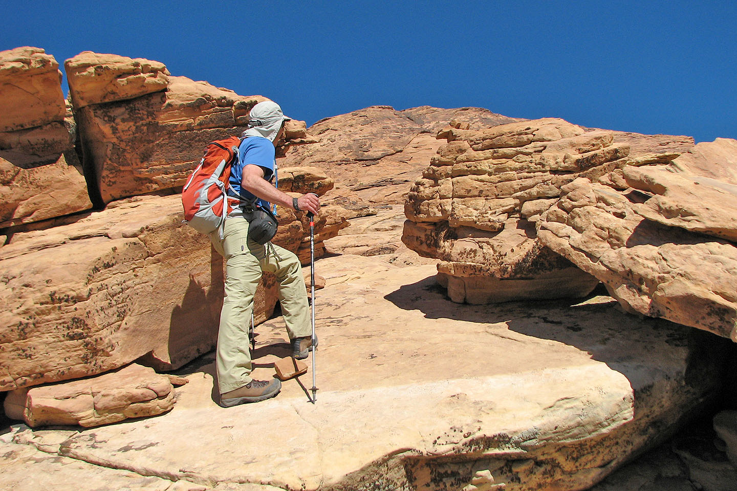
No real difficulties along the way
Getting close to the summit
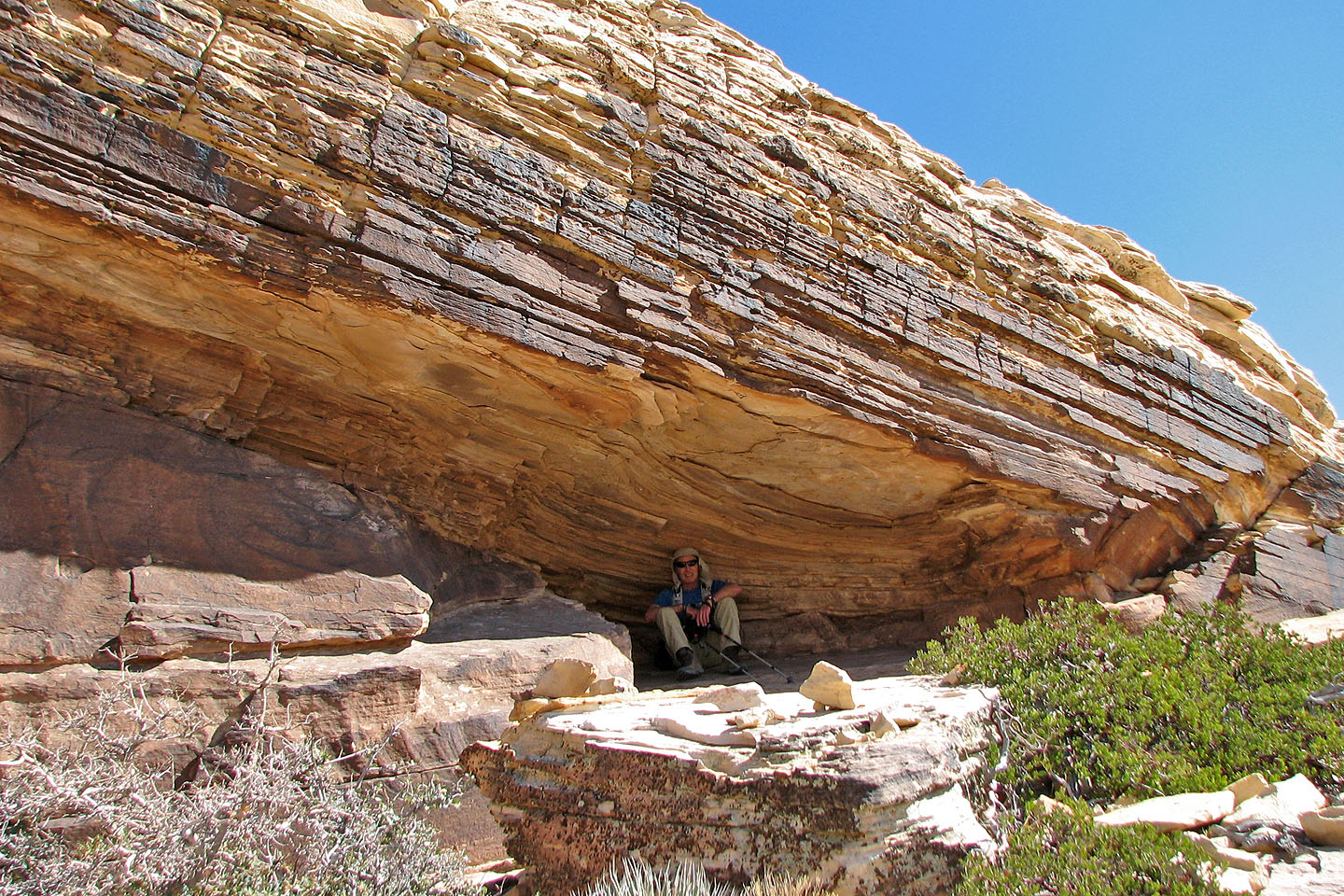
Relaxing under an overhang
False summit ahead
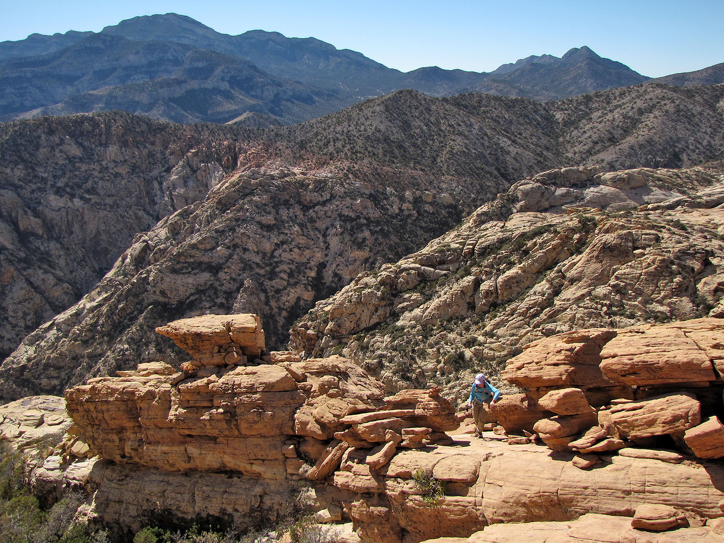
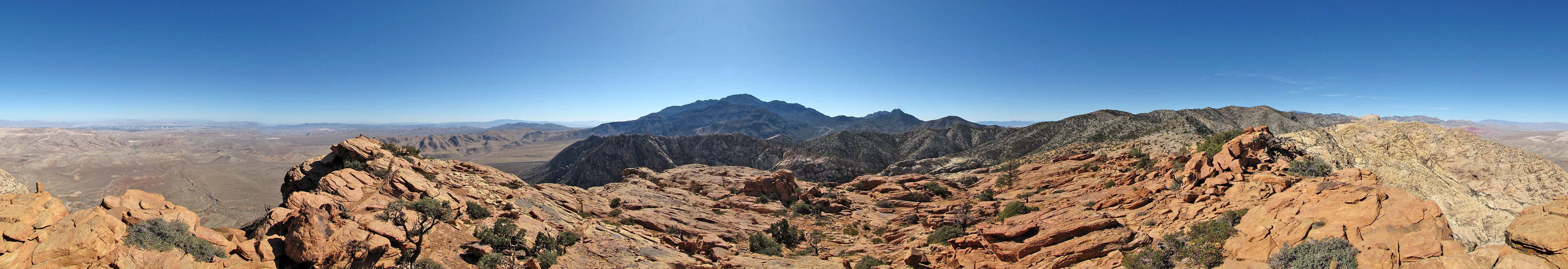
Potosi Mountain left, in the background
Looking for the highest point
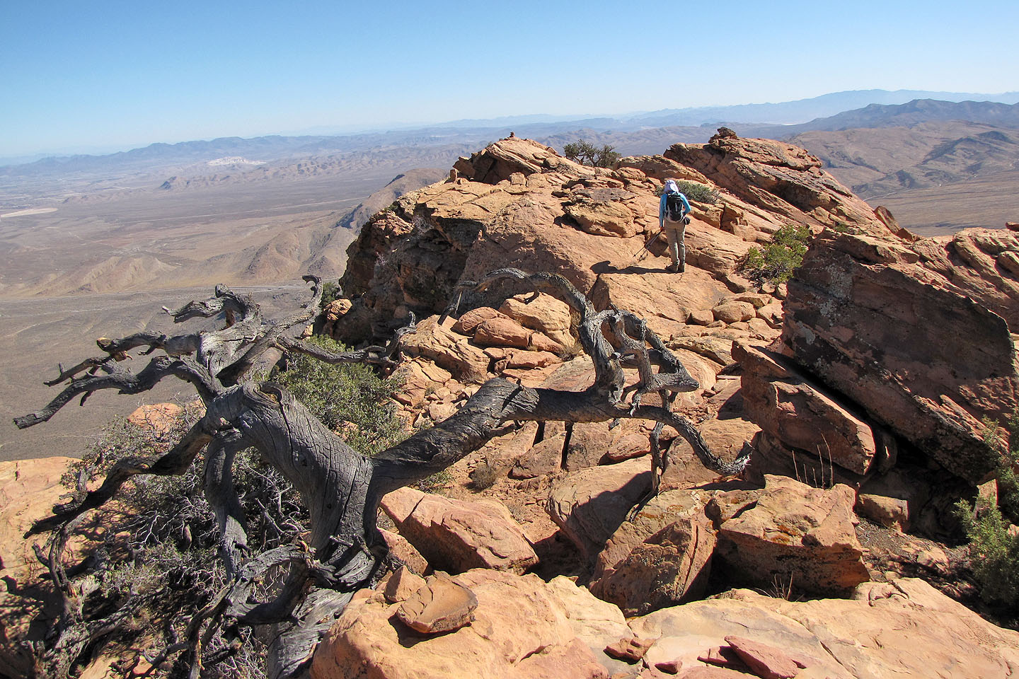
Dinah heads to the summit on her right
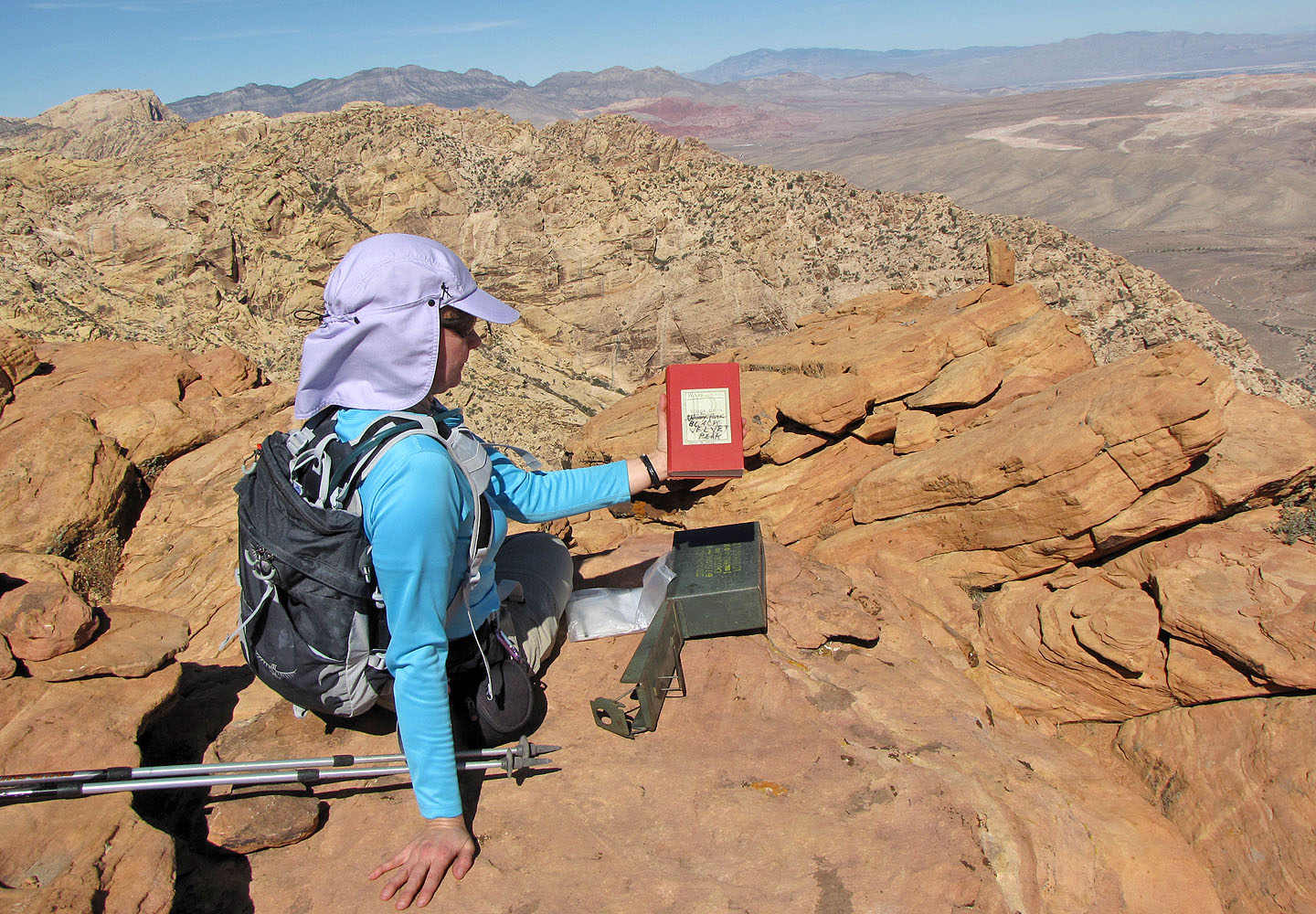
The cover displays an argument (mouse over) on what the name of this peak was
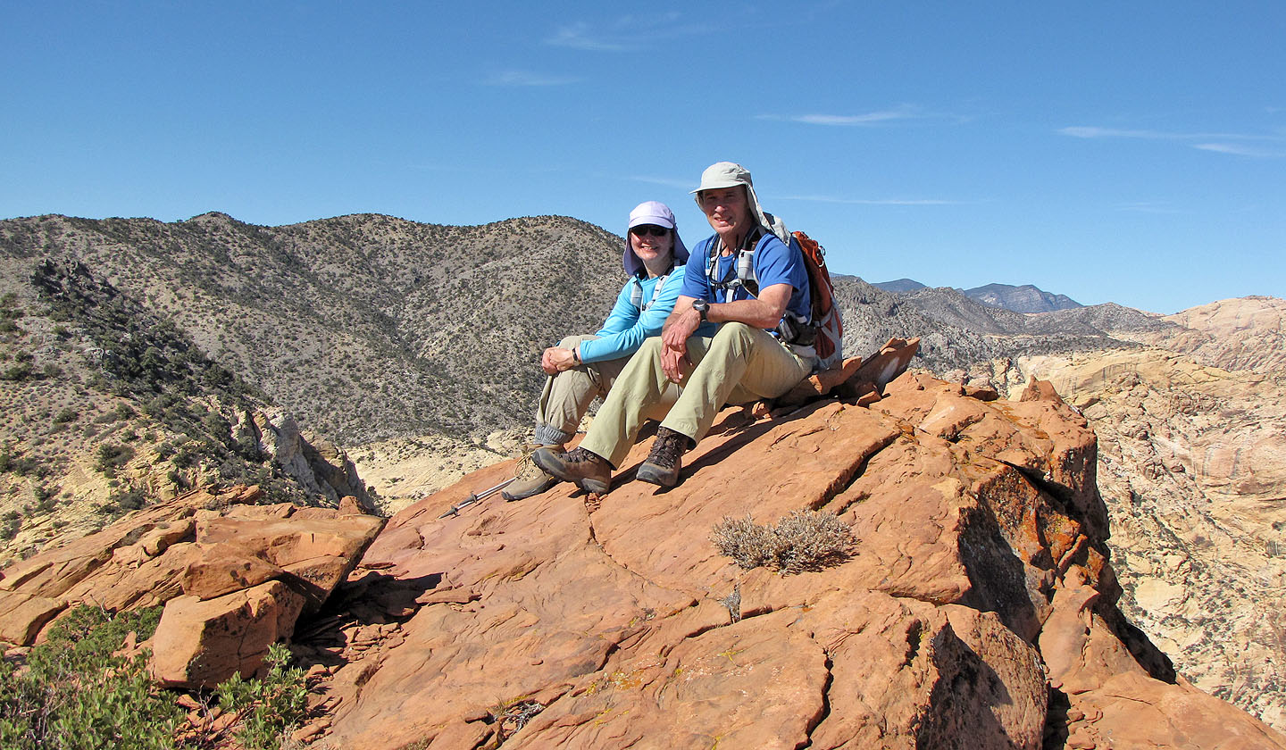
On the top of Windy Peak
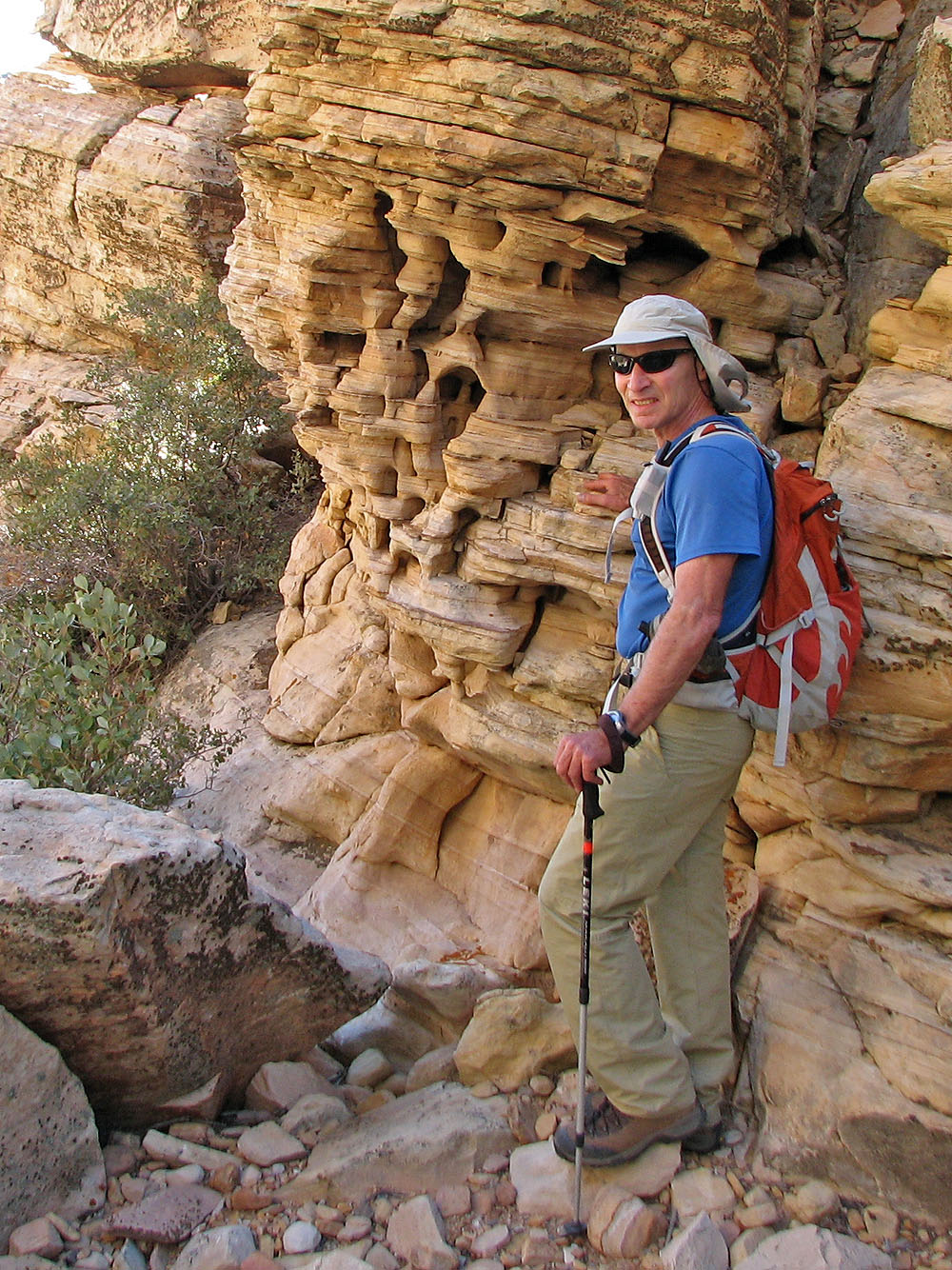
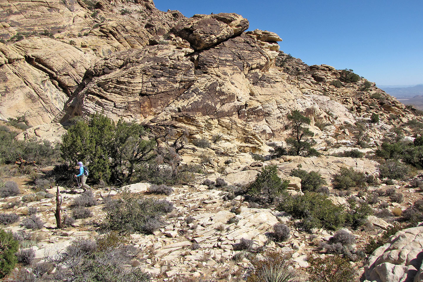
Checking out cool rock formations on the way back
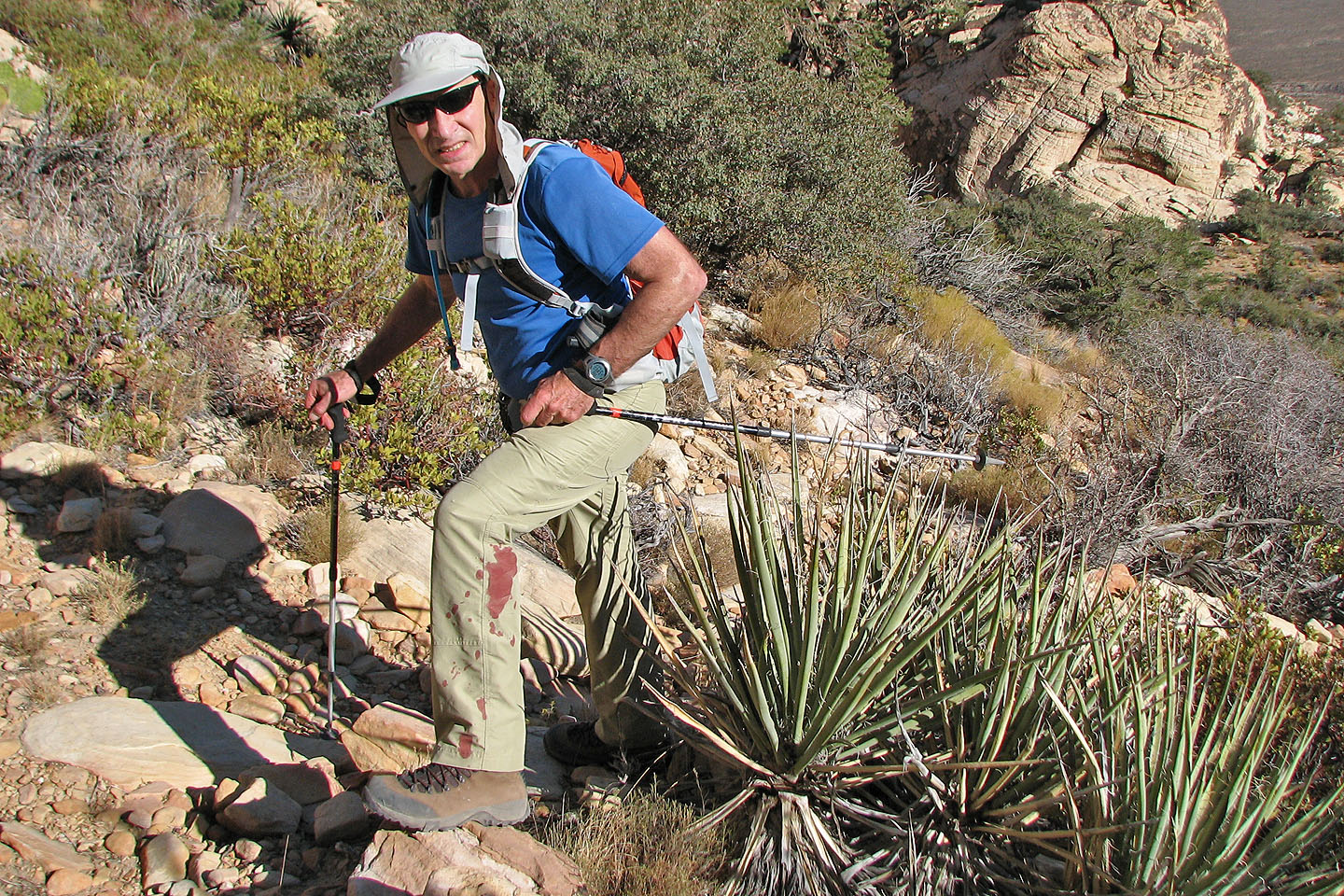
I ran into a yucca plant. Despite appearances, it was a minor injury.
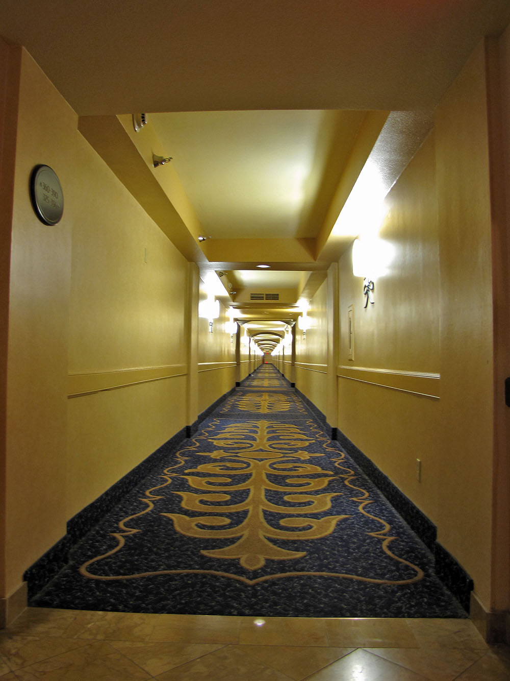
Back at the Rio Hotel, it's a long walk to our suite at the end of the hall
Blue Diamond Topo (5.6 mi, 6250 ft, 2208 ft)