bobspirko.ca | Home | Canada Trips | US Trips | Hiking | Snowshoeing | MAP | About
Pigs in Zen Peak, Lonesome Peak,
and Mount Stocker
Eldorado Wilderness, Nevada
April 11, 2019
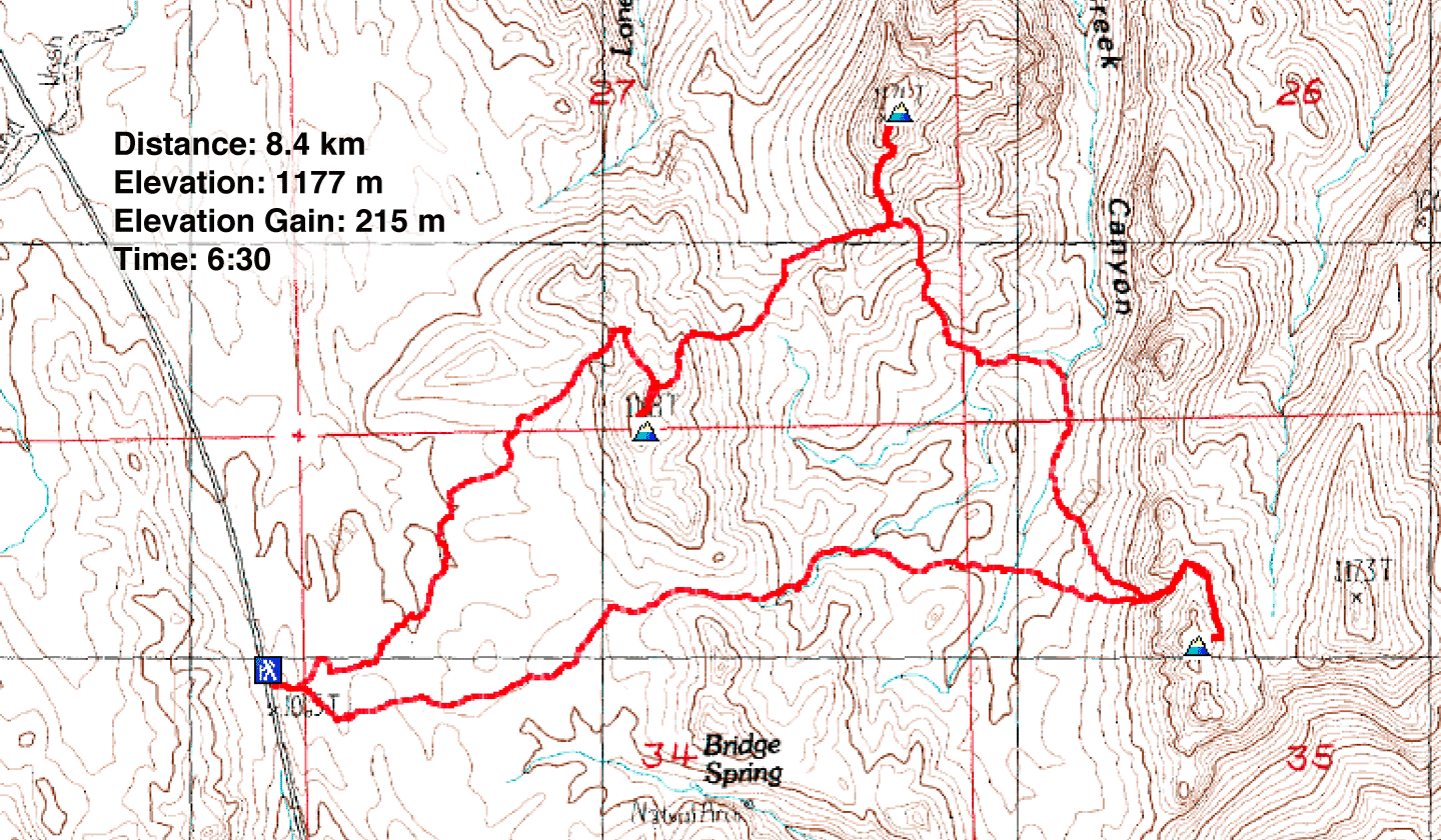
Distance: 8.4 km (5.2 mi)
Cumulative Elevation Gain: 598 m (1962 ft)
What Eldorado Wilderness lacks in big peaks, it makes up for with stunning desert scenery. And by linking three peaks together in one trip – Pigs in Zen Peak, Lonesome Peak and Mount Stocker – it's possible to pack a lot of adventure in a short time. That adventure comes in the form of routefinding. While our route never exceeded class 2, seeking ways down hidden washes and over minor ridges was challenging, a veritable roller-coaster ride.
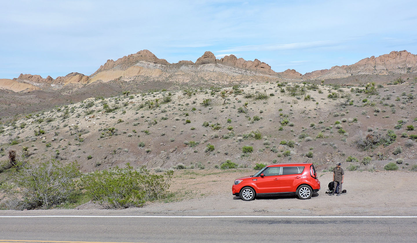
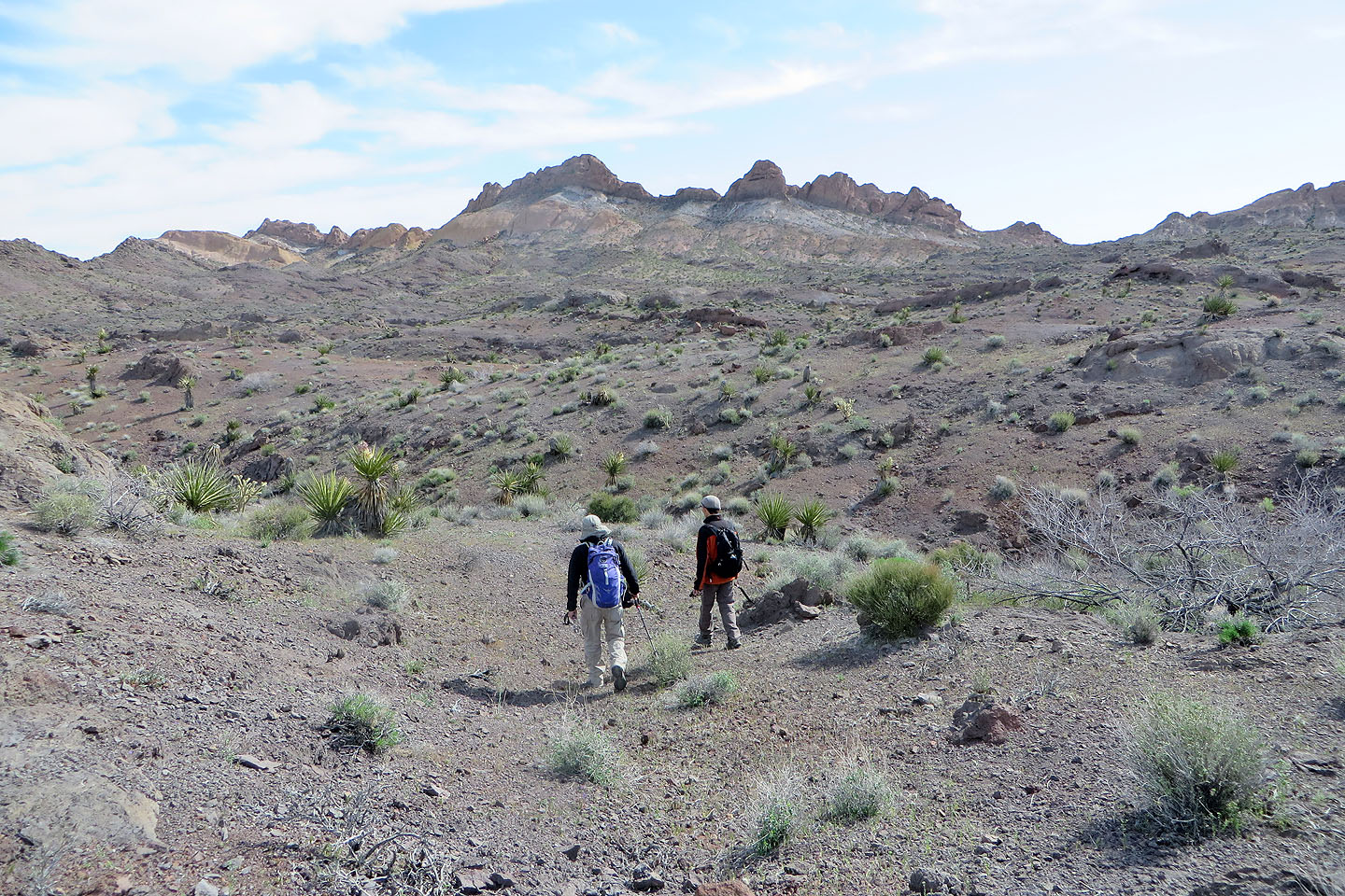
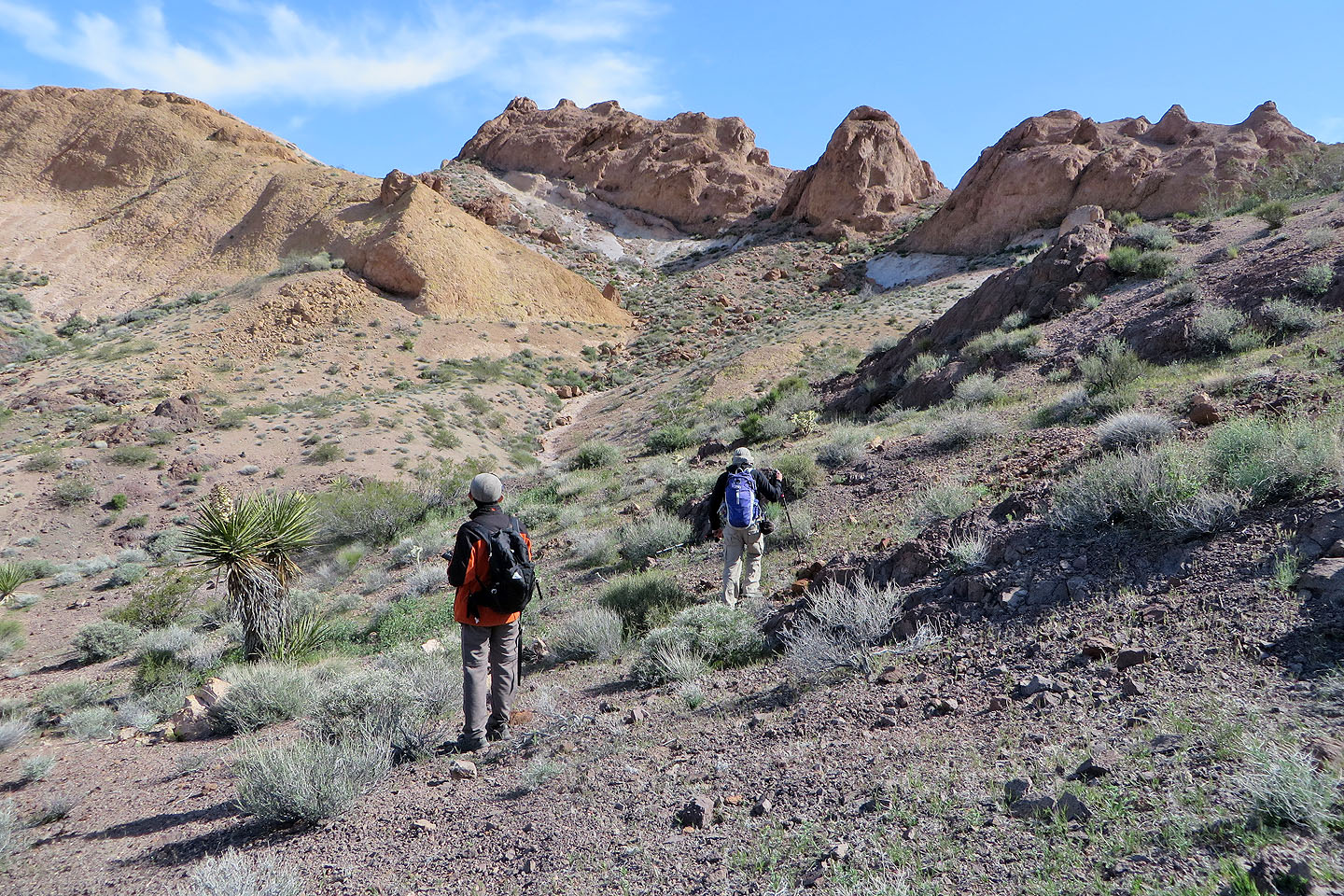
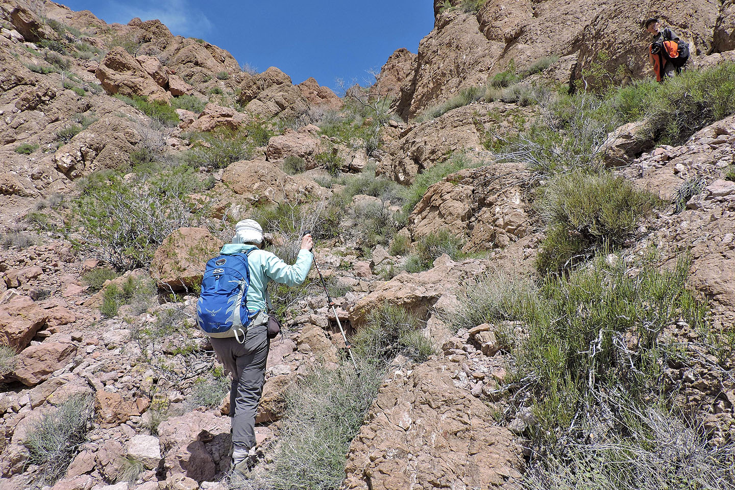
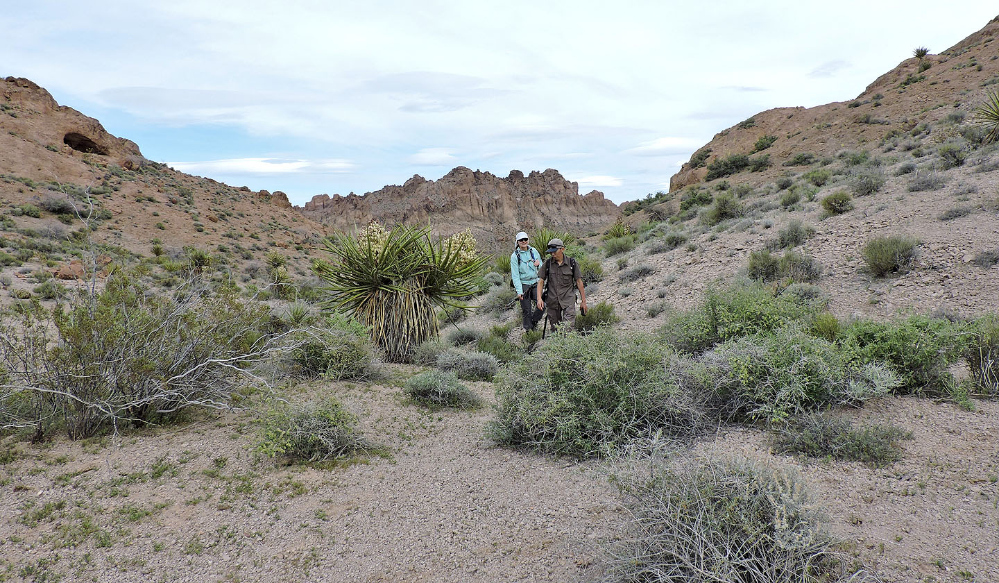
Shin, Dinah and I parked at a pullout near the town of Nelson, two kilometres southeast of Pigs in Zen Peak. After climbing a low ridge, we had an unobstructed view of Pigs in Zen. Cliffs prevented a direct assault on its summit, but on the left, we spied a break in the north ridge. Crossing undulating terrain, we made our way there.
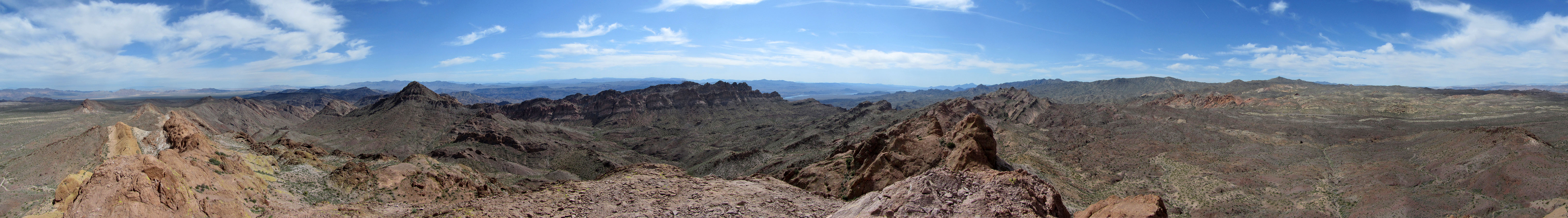
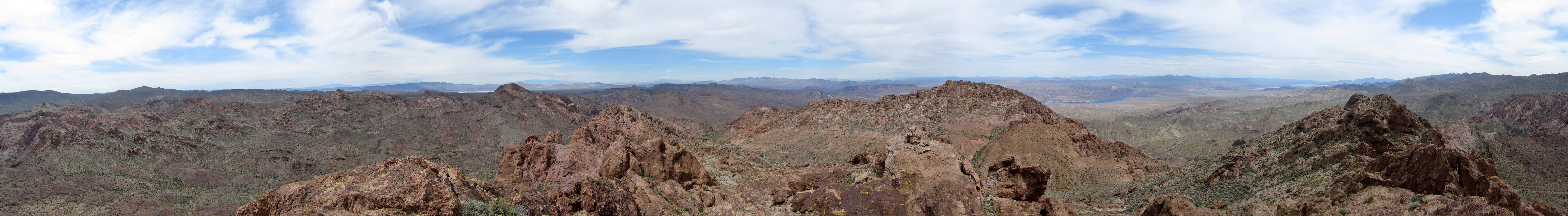
After gaining the ridge at the break, we traversed the base of cliffs on the west side to the summit. Just below the summit, we found a rocky chute that provided easy access to the top of Pigs in Zen. We signed the first of three summit registers. After taking a panorama (above), we started back down.
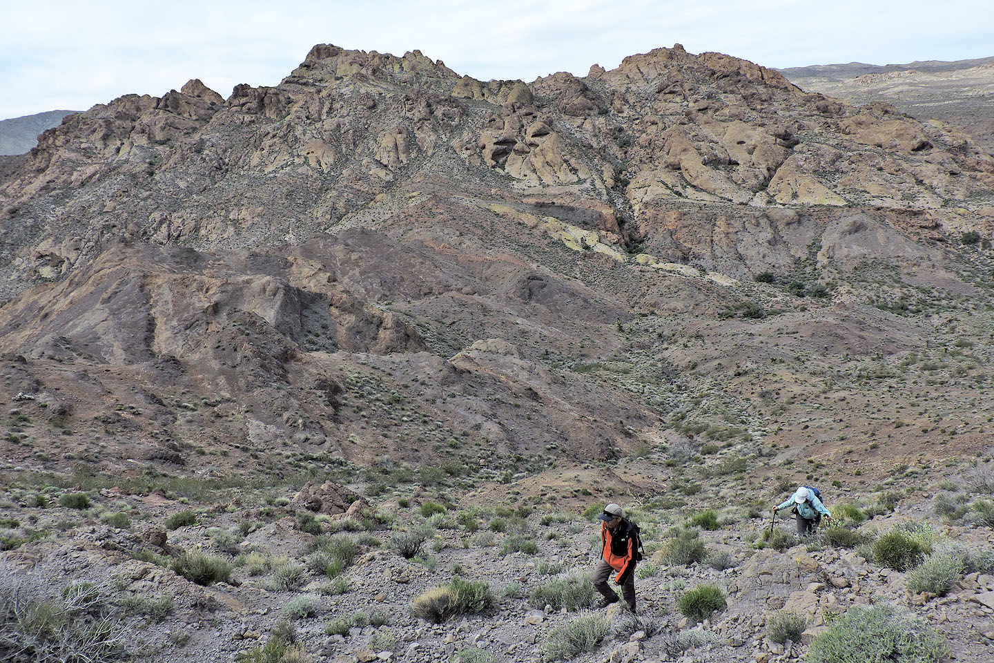
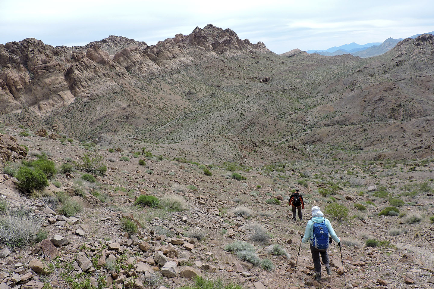
We got back below the cliffs and continued down, aiming for Lonesome Peak. After losing 160 m, we climbed to a low point on Lonesome's south ridge. From there we hiked up along the ridge, over a small false summit, to the top.
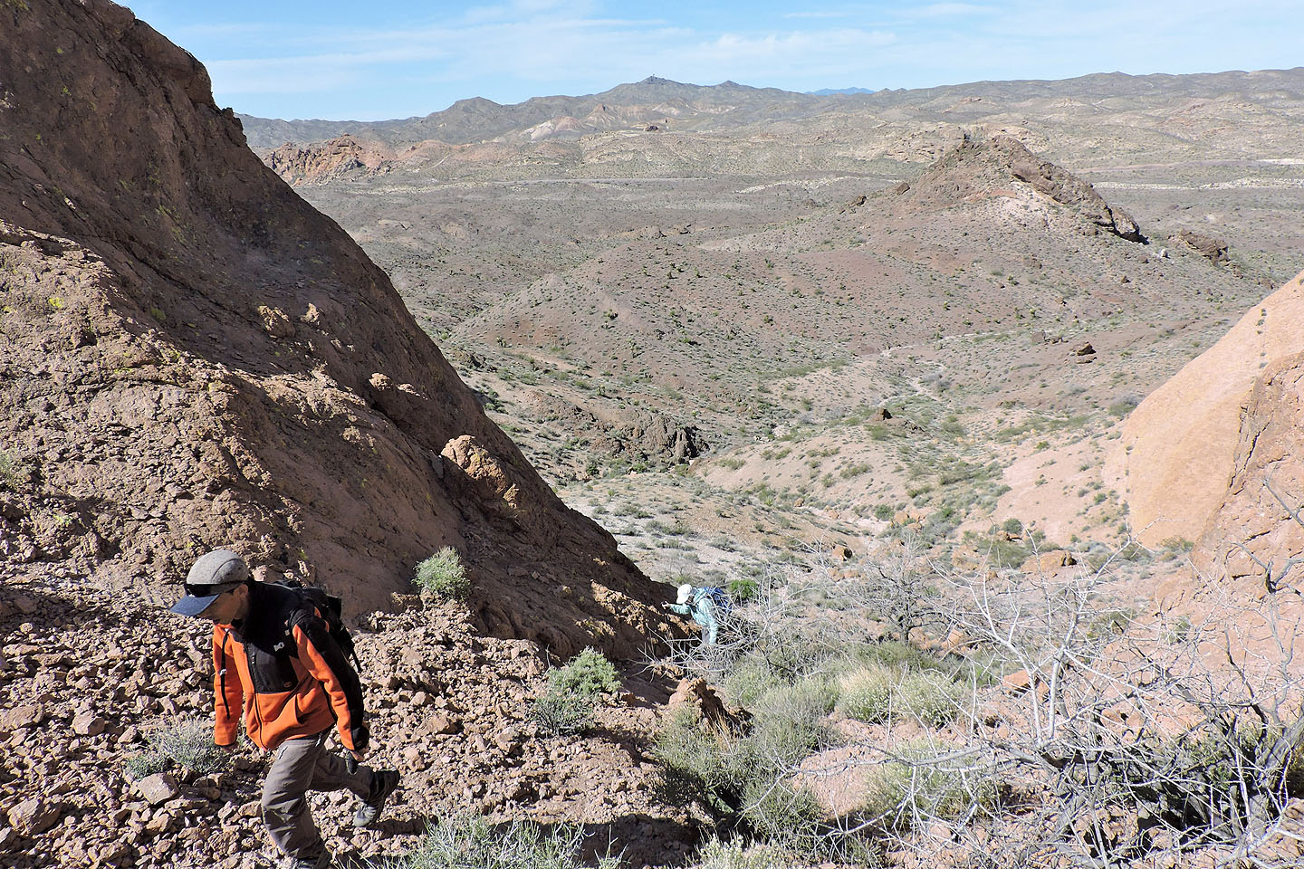
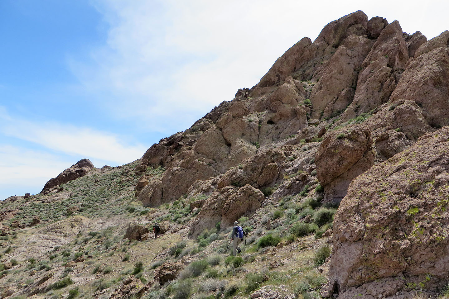
After a brief stay, we left Lonesome all by its lonesome. We went back along the ridge a short distance before dropping into a wash. We followed the wash to Oak Creek, a dry stream bed. From there we sought a huge, cube-shaped boulder that stood out on the lower slopes of Mount Stocker. The ascent gully is near this boulder, but hard to spot. Once we found the gully, we climbed to a break in the cliffs. Like Pigs in Zen, the final ascent followed the base of cliffs before they yielded to a chute leading to the top.
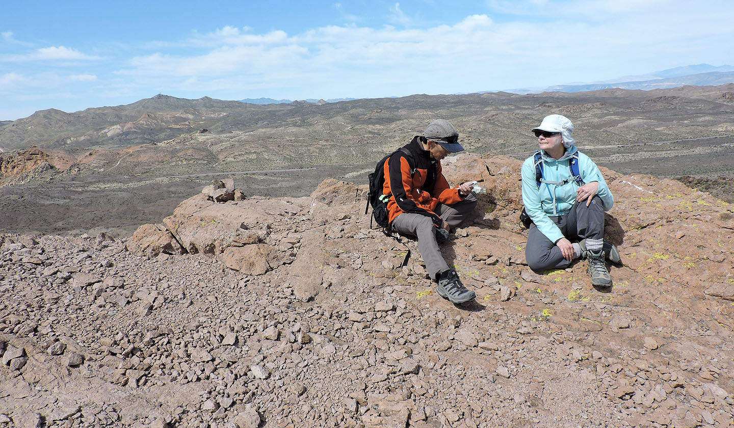
Of the three peaks, all close in height, we enjoyed Mount Stocker the most. Maybe it was the backdrop of the Colorado River and Lake Mohave, or maybe because the summit offered a more comfortable space to relax and have lunch.
Thus far, our route had resisted being easy because of the complex landscape and getting back to our car was no exception. After returning down to Oak Creek, we faced an intervening saddle to our car, nearly a 100 m ascent. That was followed by ups and downs over minor ridges. Fortunately the wonderful desert scenery eased the way, distracting us from the travail, and we relished the final leg.
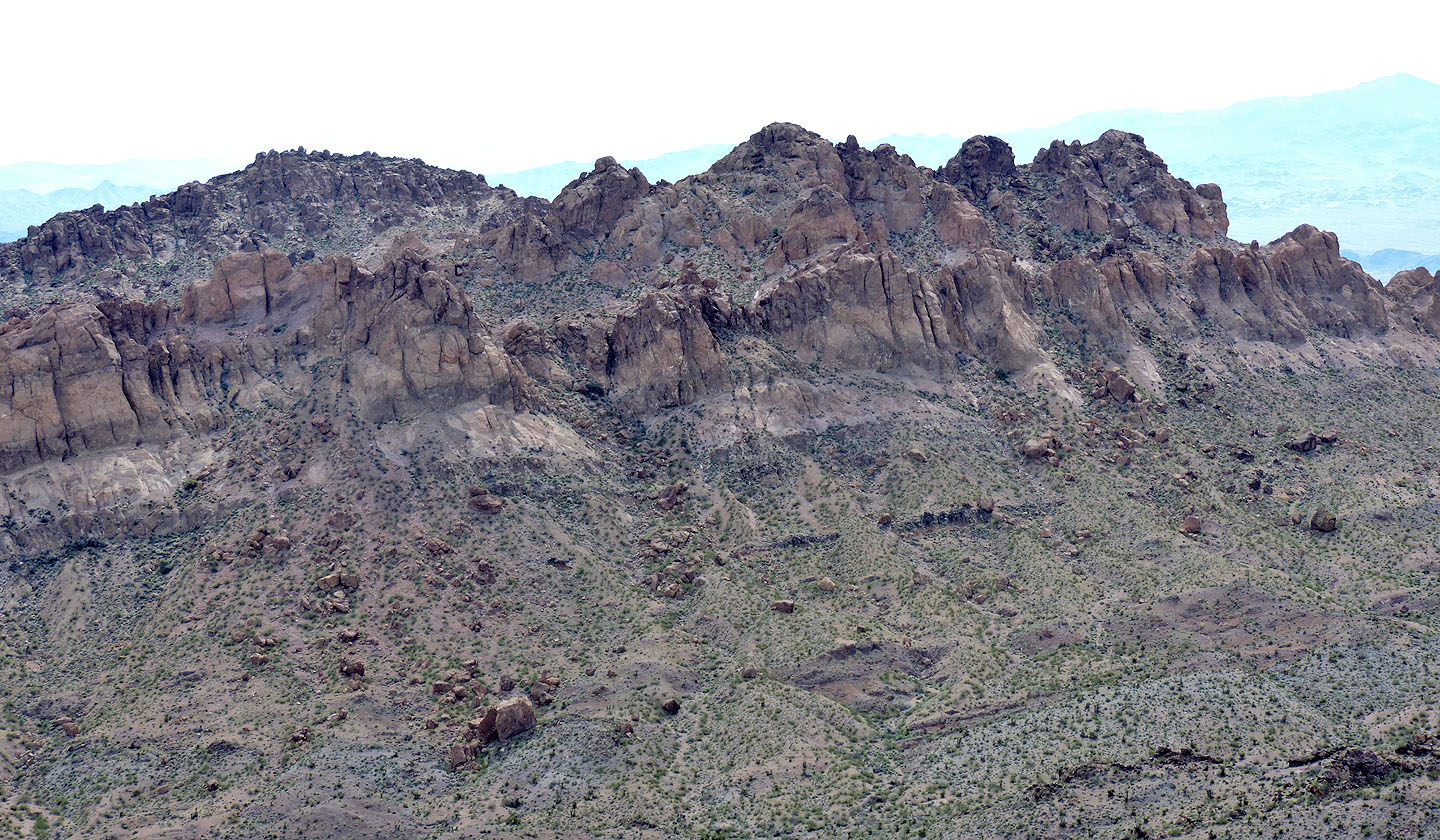
Pigs in Zen Peak seen from the pullout
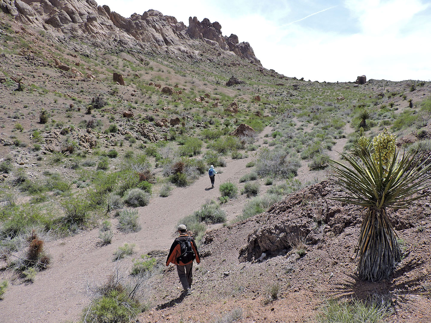
After climbing over a low ridge we set off for the far end of Pigs in Zen
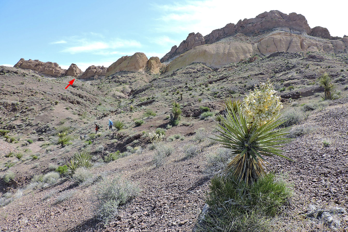
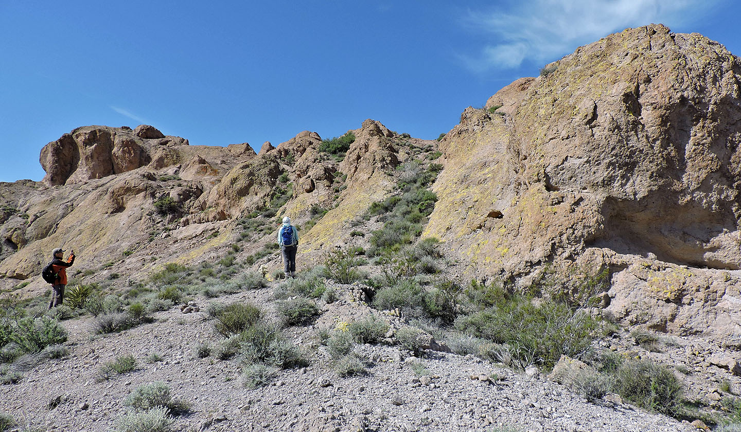
We headed to a break in the cliff band north of the summit
Drawing near the break
Looking down the break

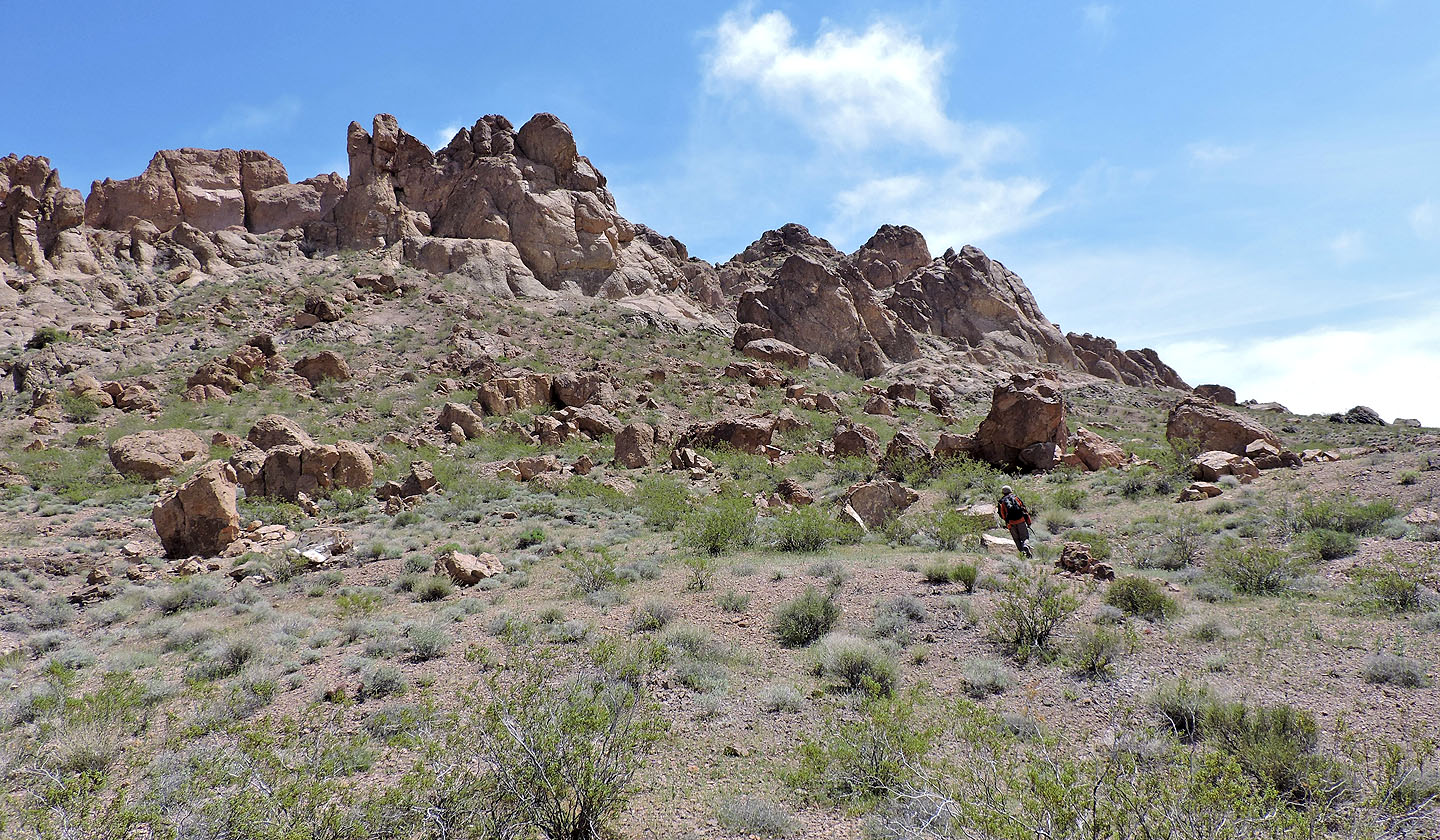
After gaining the ridge, we made our way along the slope
To reach the summit (left), we ascended the chute between Shin and Dinah
Behind us is our next objective, Lonesome Peak
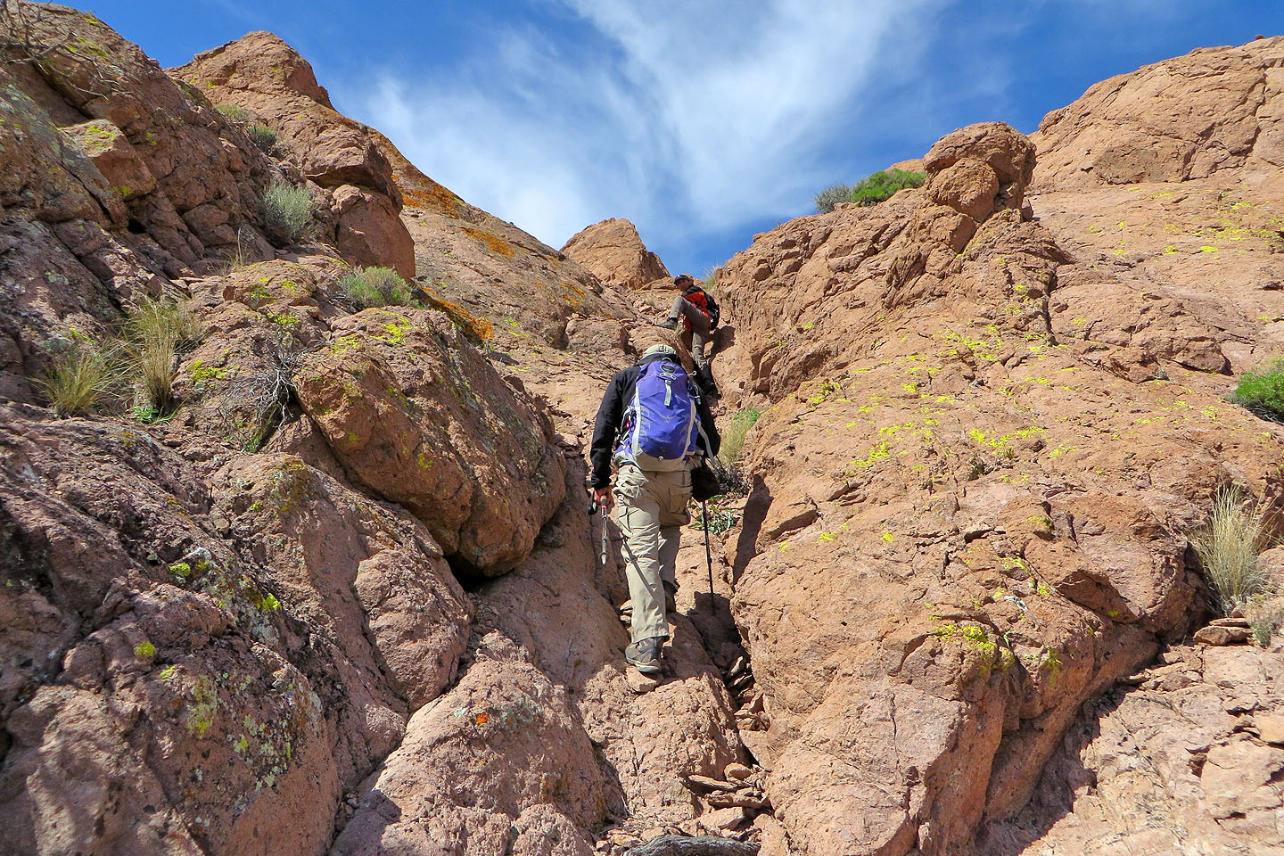
Going up the chute
There's a steep climb just before the top
Shin reads the summit register
Nelson Benchmark lies south
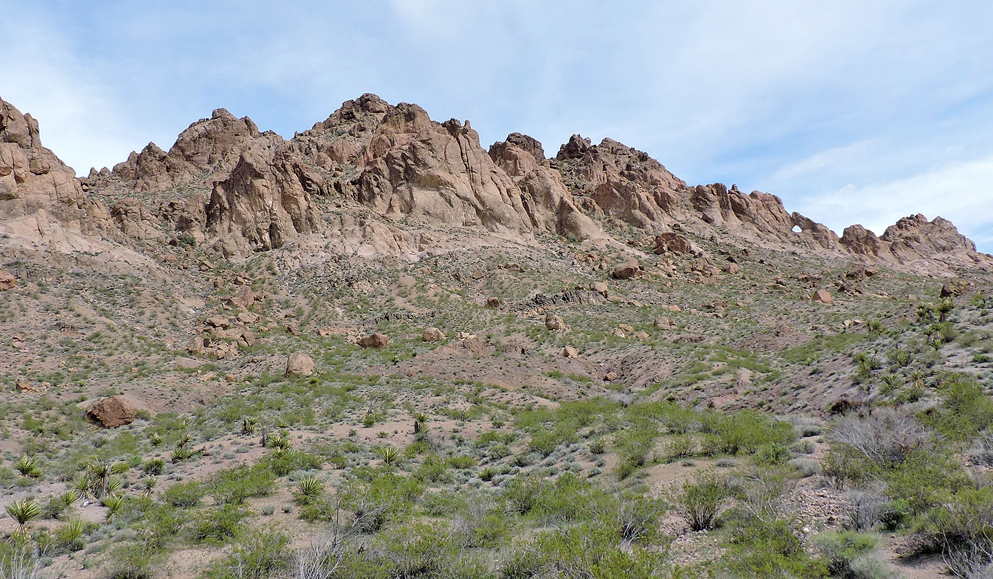
Our third objective, Mount Stocker, appears guarded by imposing cliffs

On the way down we passed small caves
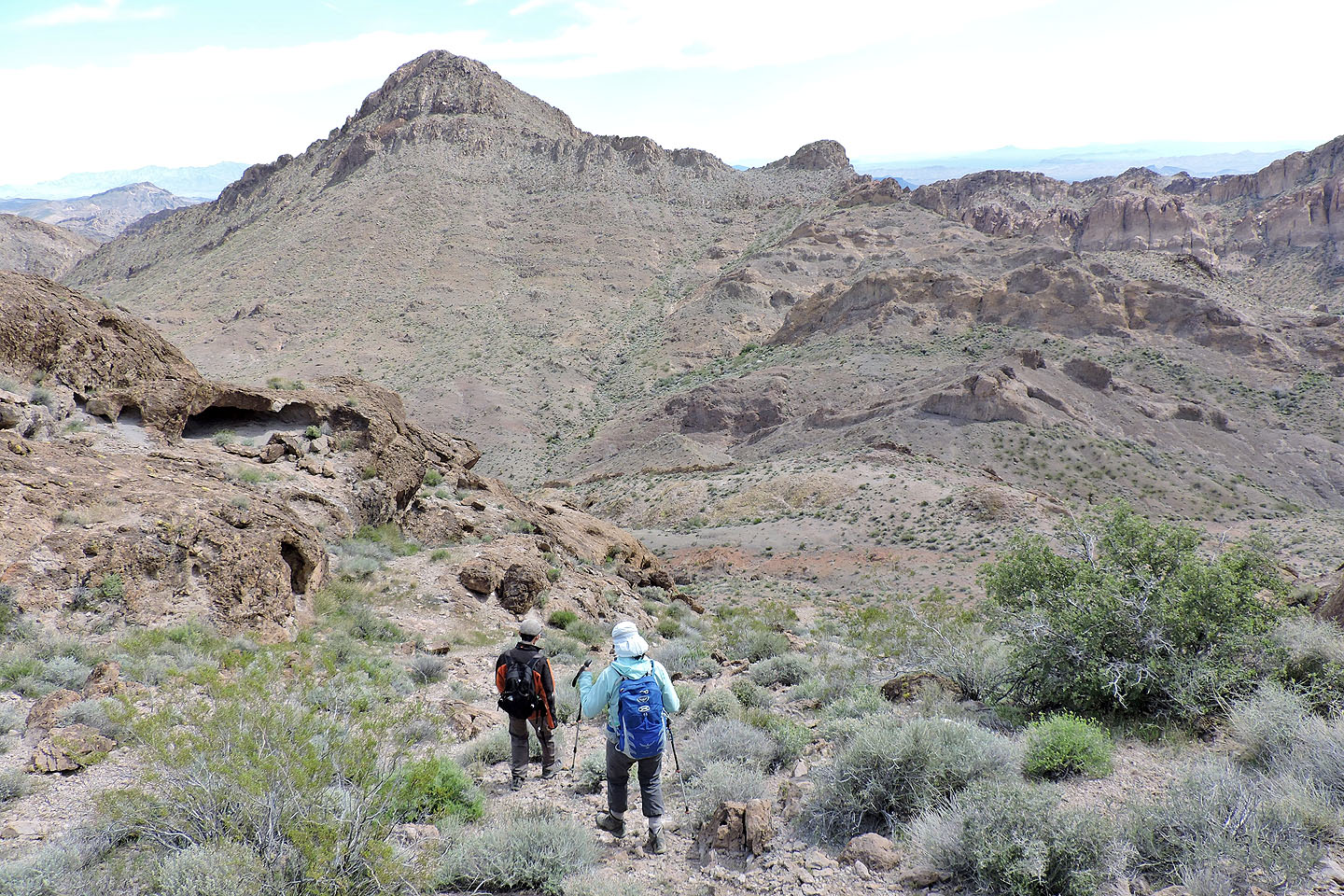
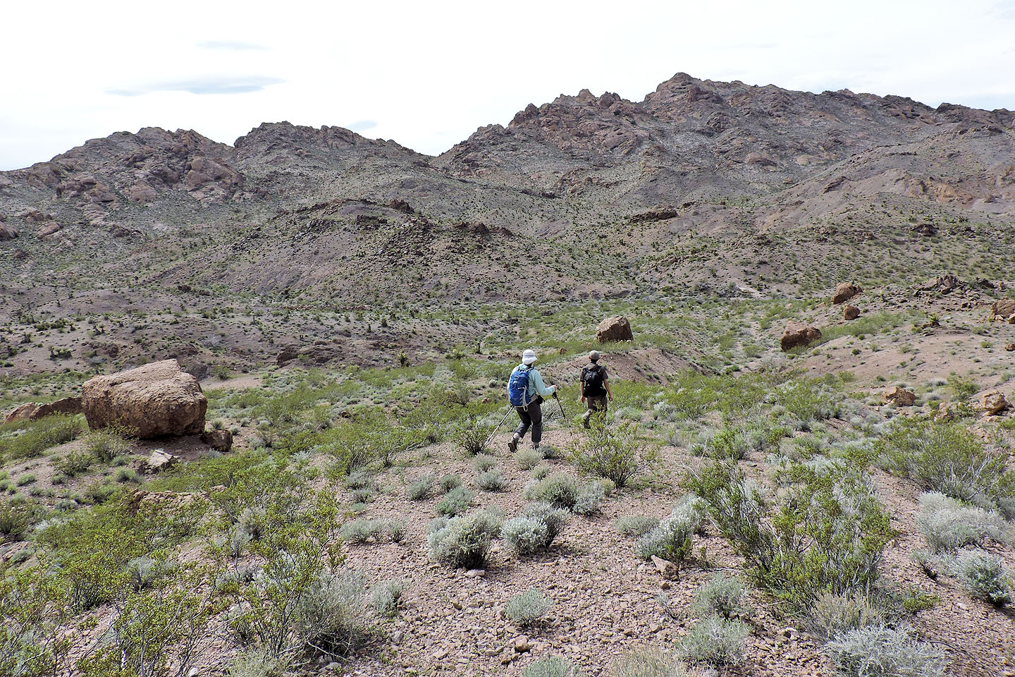
Heading to Lonesome Peak
To ascend Lonesome, we first had to lose 160 m
We headed to a low point right of Lonesome
Looking back at Pigs in Zen
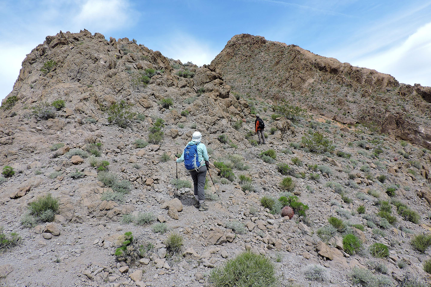
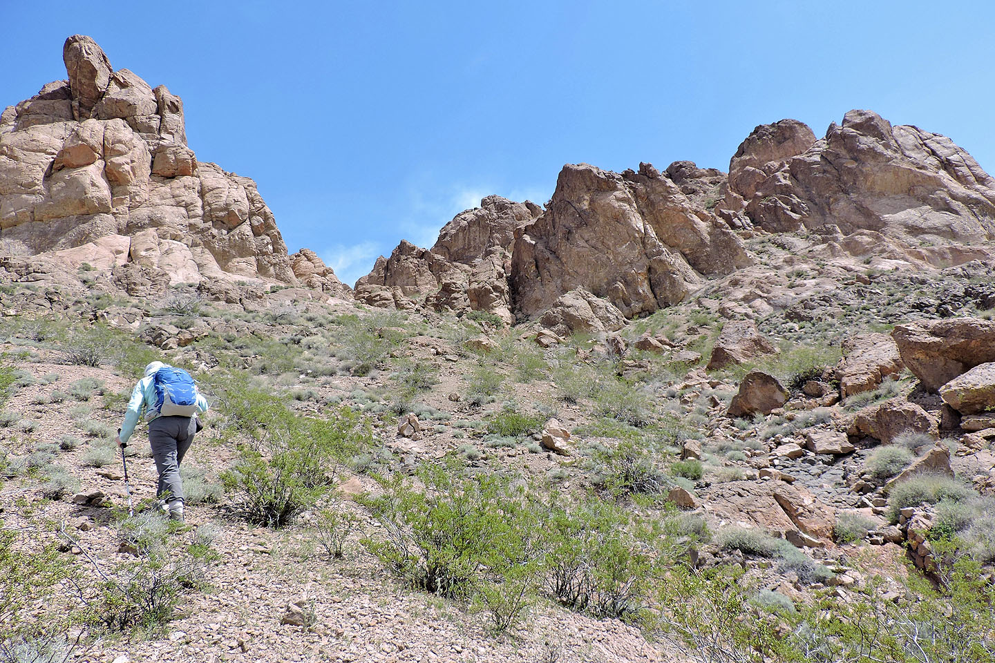
After reaching the ridge we faced a steep climb ahead
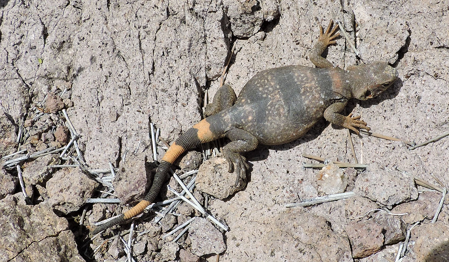
We came across a young chuckwalla
The true summit seen from the false summit
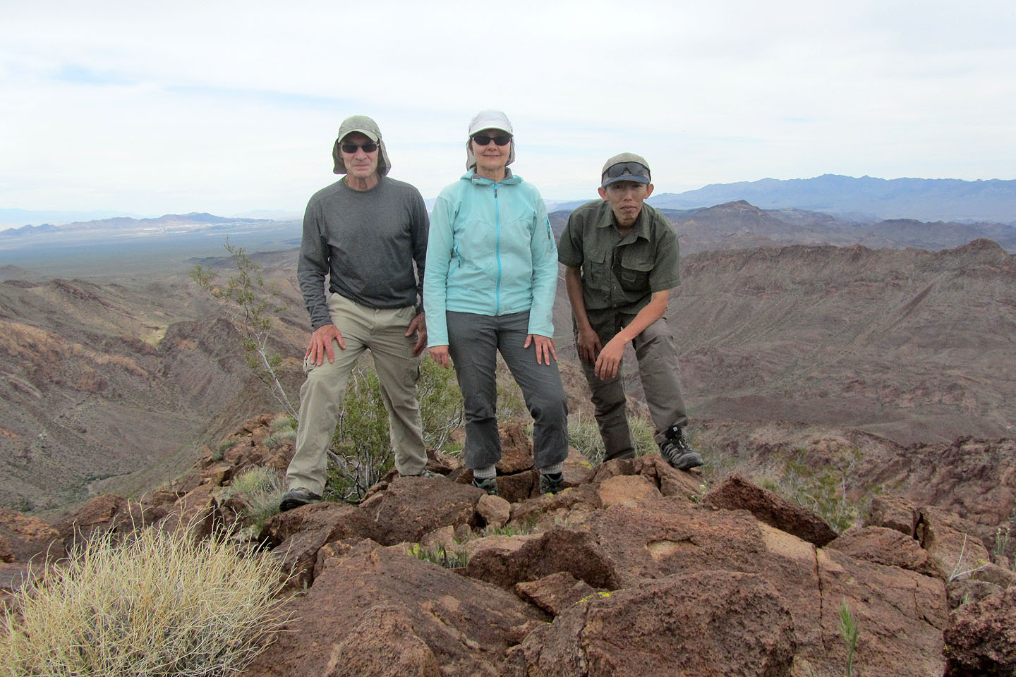
On the summit
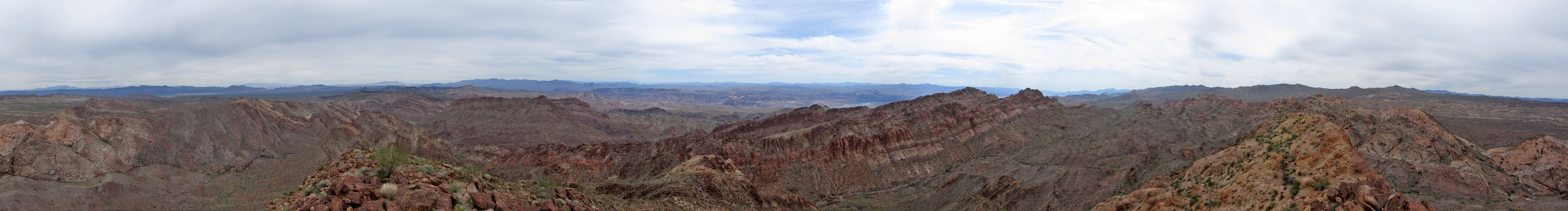
Summit panorama
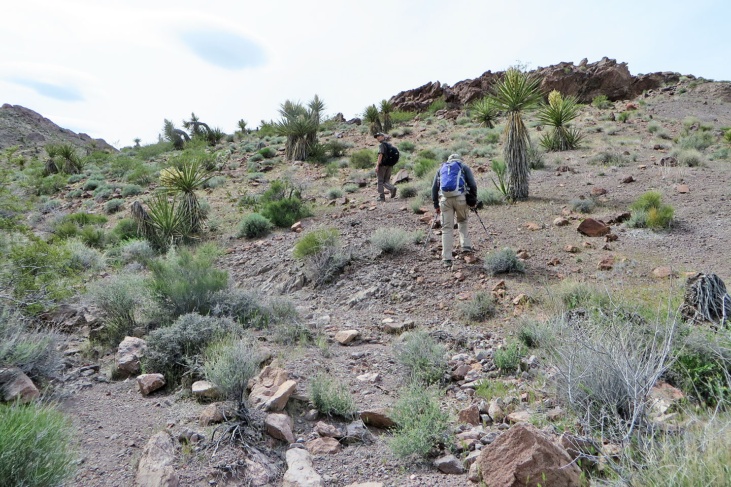
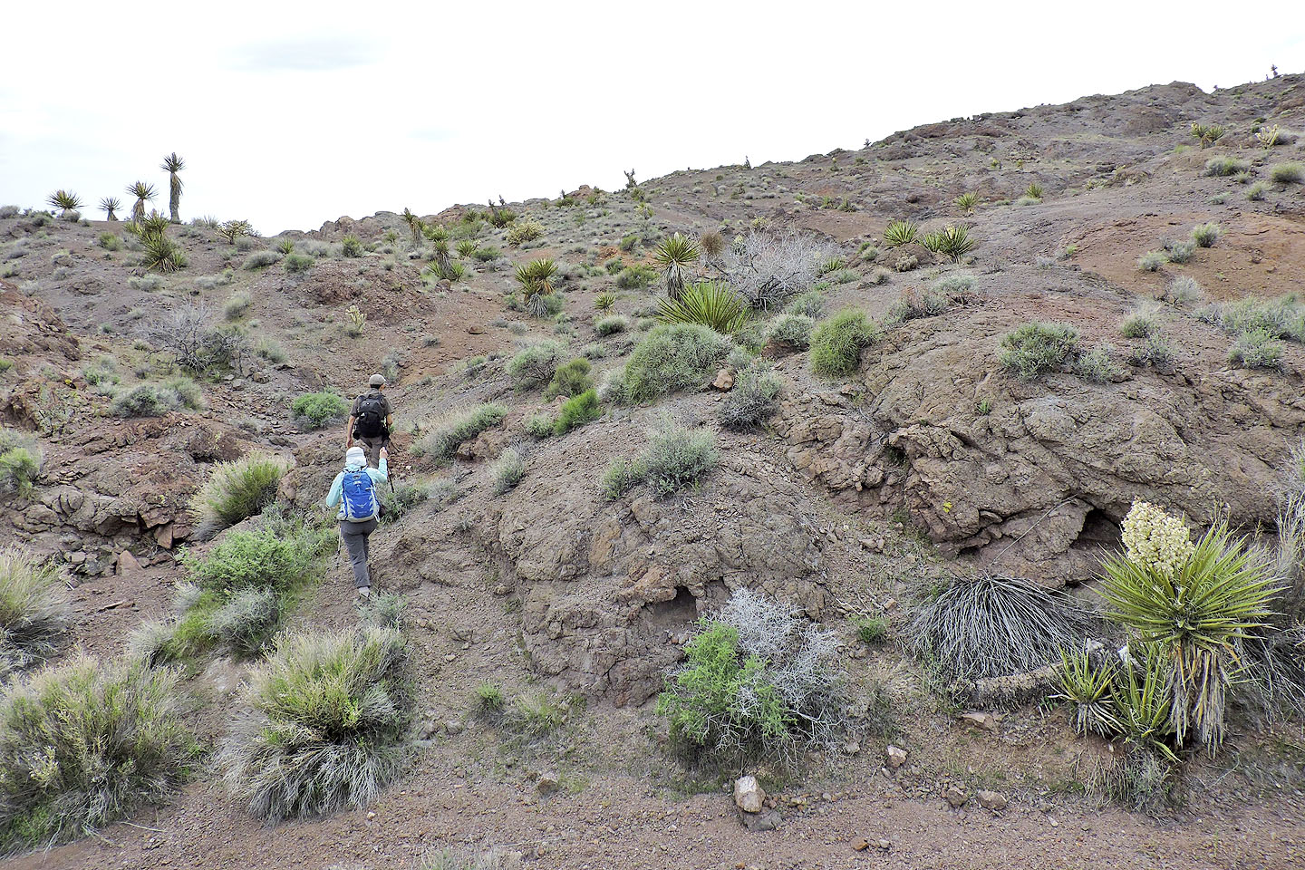
Heading to Mount Stocker
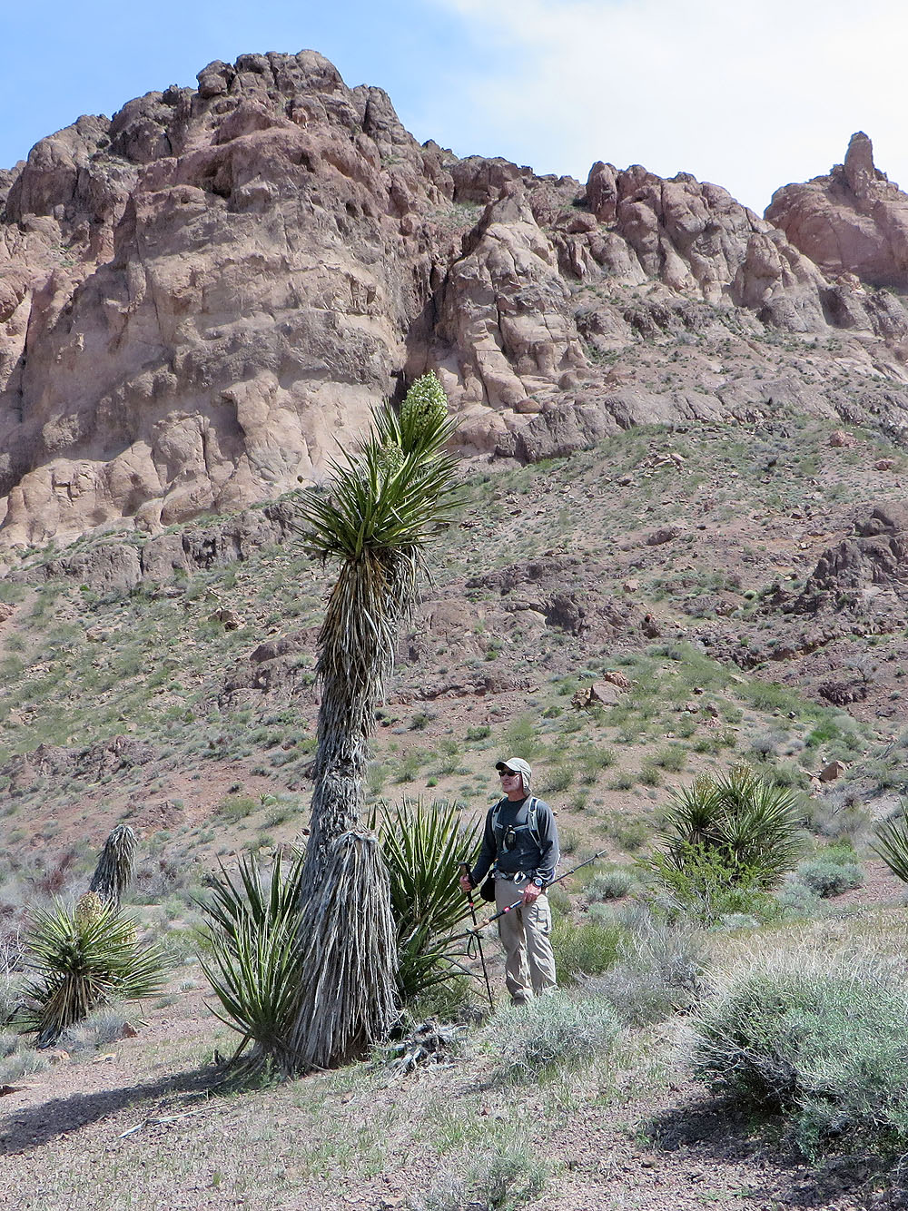
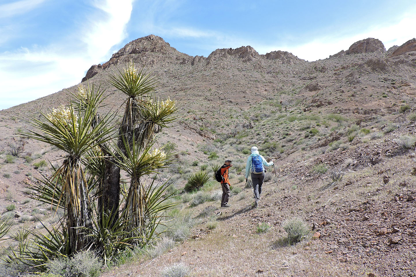
The area holds some of the tallest yuccas we've seen
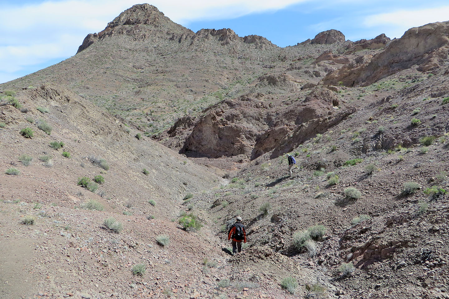
To reach the base of Stocker we lost 200 m. From here we headed to the solitary boulder on the skyline. The break in the cliffs is just after that.
As we approached the boulder, we looked for the ascent gully
Starting up the gully
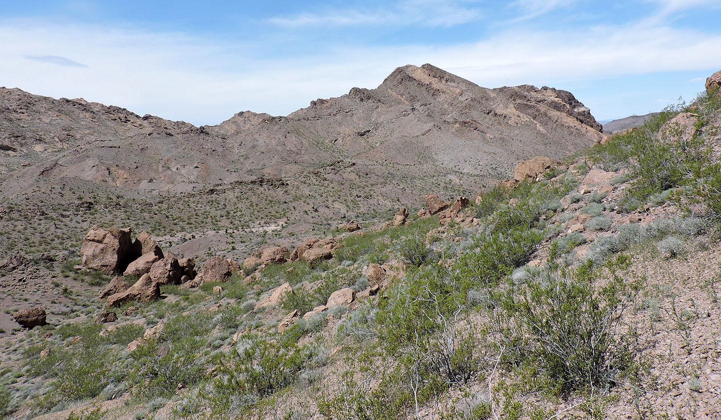
Looking back at Lonesome Peak
Ascending the gully wasn't fun

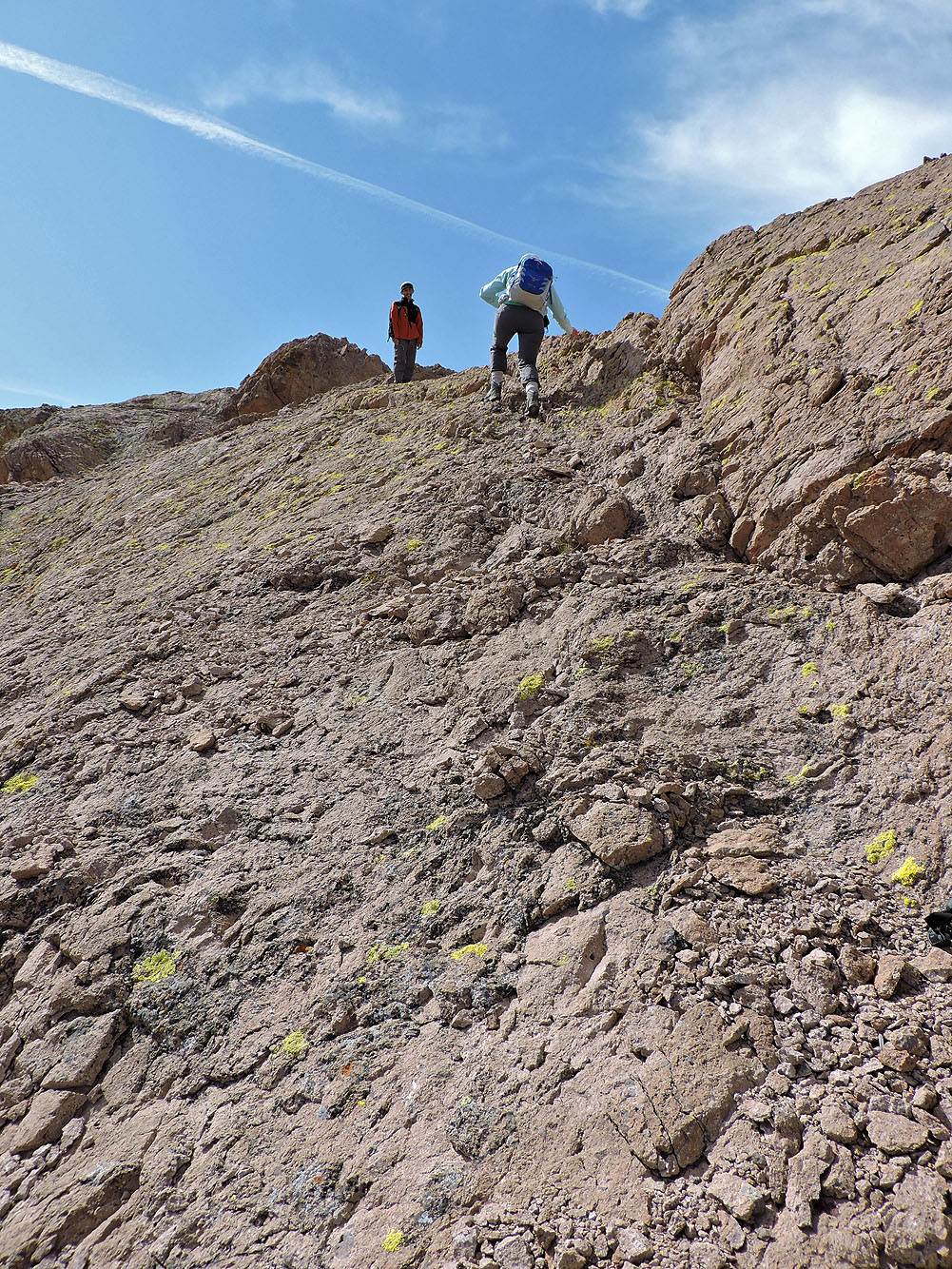
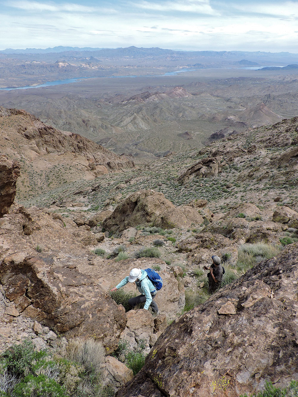
After reaching the ridge, we made our way around cliffs
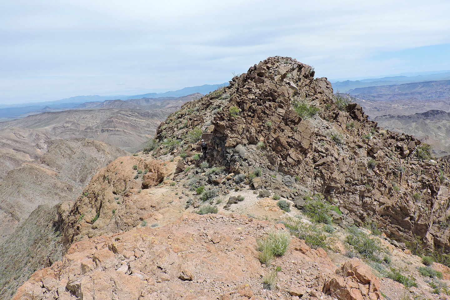
We traversed some distance to reach the base of the summit which was behind the point above us

We climbed a steep chute below the summit

There's the summit
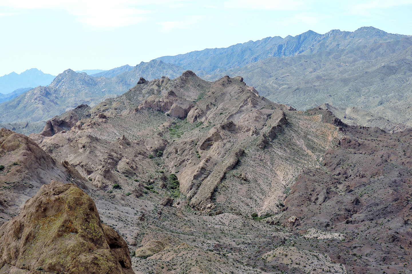
Behind is the Colorado River and Lake Mohave
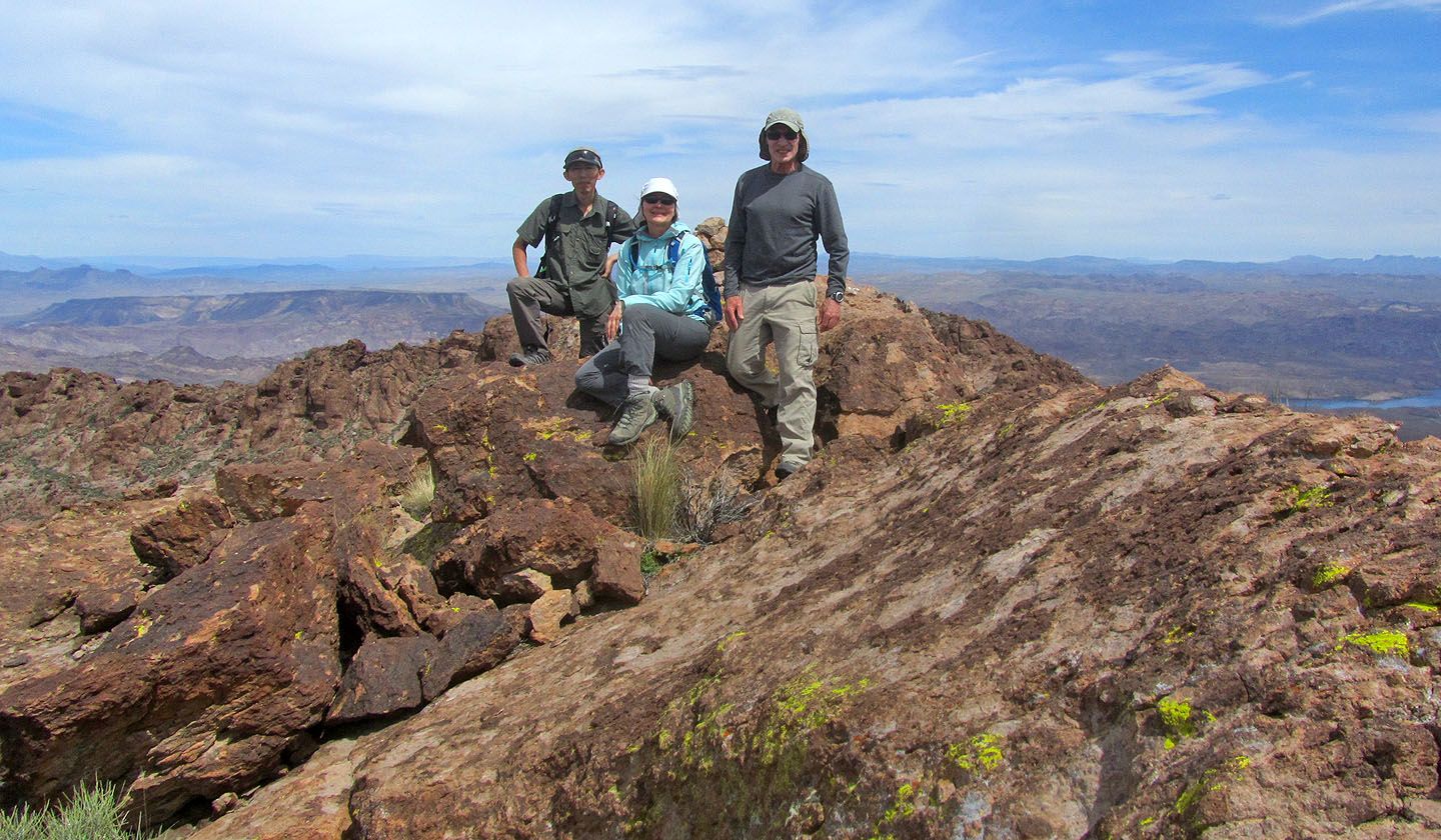
On top of Mount Stocker
Summit panorama
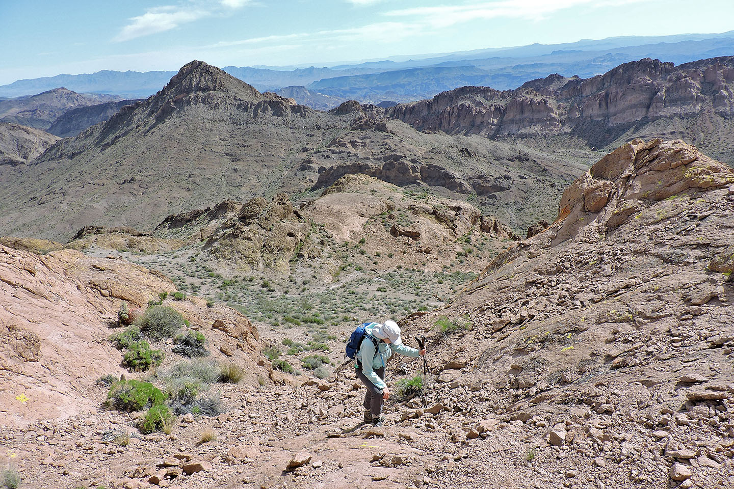
We retraced our steps back down Mount Stocker and headed to the saddle ahead
After starting up the other side, we were surprised to see a huge window at the end of Stocker (mouse-over)
The ascent to the saddle wasn't difficult, but it seemed long
Looking back after reaching the saddle
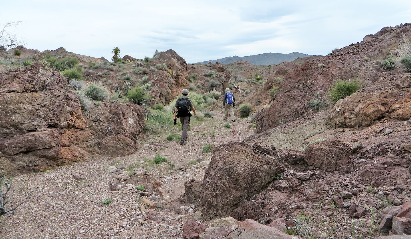
We dropped down into a wash and followed it a short distance

Owing to washes and low ridges, navigation back to the trailhead wasn't easy
We faced several minor ups and downs on the way back
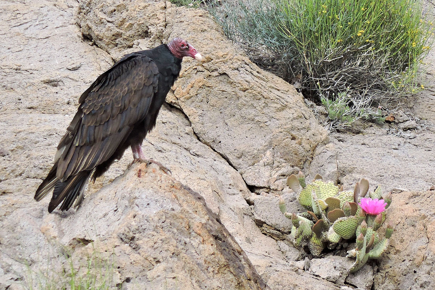
After getting into our car and starting back, we spotted a turkey vulture by the roadside
Nelson (5.2 mi, 3862 ft, 705 ft)