bobspirko.ca | Home | Canada Trips | US Trips | Hiking | Snowshoeing | MAP | About

Mount Irish
Extraterrestrial Highway, Nevada
October 18, 2017
Distance: 5.5 km (3.4 mi)
Cumulative Elevation Gain: 484 m (1588 ft)
For a short hike, Mount Irish packs a lot of scenery. We enjoyed navigating up the white cliffs and hiking among the towering ponderosa pines. We also had a chance to view Area 51, the secretive detachment of Edwards Air Force Base, although details were lost in California wildfire smoke. But the highlights of our trip were two surprises that dropped from the sky.
The hike up Irish begins on Logan Pass which is reached by driving up a dirt road off of Hwy. 375, otherwise known as Extraterrestrial Highway. The name comes from its proximity to Area 51. Secretive test flights in the late 1950s and 1960s led to a rash of UFO sightings giving rise to Area 51's mystique.
The dirt road, Logan Canyon Road, begins with an unlocked cattle gate and requires a high-clearance vehicle after passing petroglyph sites. Shin, Dinah and I drove to the pass. After parking, we walked up a short road to the base of a wooded slope.
We followed a faint trail up the slope to the ridge. We stayed on the ridge until it was practical to traverse below high quartzite cliffs. We aimed for a dip in the cliffs where there is a weakness, where the rock is a metre high and is easily climbed.
From there, there are two options to reach Mount Irish. You can drop down and cross a basin, or you can keep right and ascend the southeast ridge. Both routes are in trees. We opted to drop down to the basin but veered left to a viewpoint that appeared unusual: a plateau of white rock. From the plateau, we made a beeline to the summit.
As we hiked, the stillness of the forest was occasionally broken by the sounds of jet fighters. Not only did we hear them roar, but heard the thunder of sonic booms. The jets passed unseen or far away – except for one. The three of us watched in awe as a large fighter jet – an F15 – swooped low, almost at eye level, and flew over a ridge just 500 m away! It was a jaw-dropping sight, one we'll never forget.
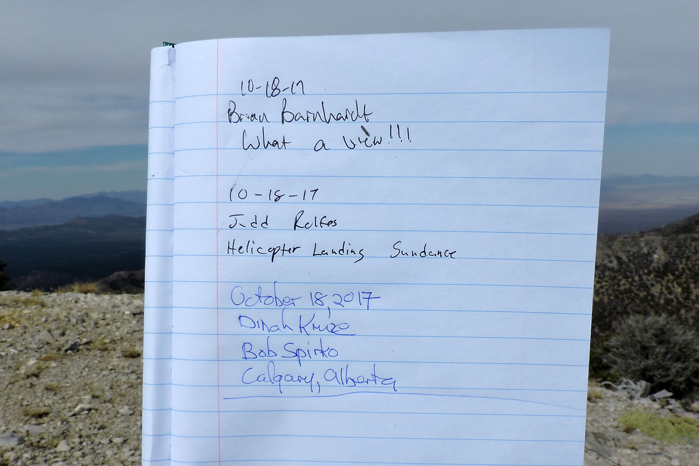
As we neared the top of Irish, a different sound broke the quiet, the thump-thump-thump of an unseen helicopter, likely flying away from the mountain. When we reached the summit, we learned that helicopter personnel had signed the register just before us. Helicopters are used to service the communications complex on Mount Irish, but this whirlybird was apparently from a touring company, Sundance Helicopters.
Once on the summit, Shin pointed his iPhone with a 40x zoom attachment southwest. Despite being hampered by haze from distant wildfires, he set about trying to take photos of Area 51.
After a lengthy summit stay, we headed down the southeast ridge and made our way back to the quartzite cliffs where we retraced our steps back to our car.
Yet our adventure wasn't over. Driving back along the dirt road, we stopped at two petroglyph sites, Paiute Rocks and Echo Rock. We spent several minutes at each site studying ancient art that dates back as much as two thousand years.
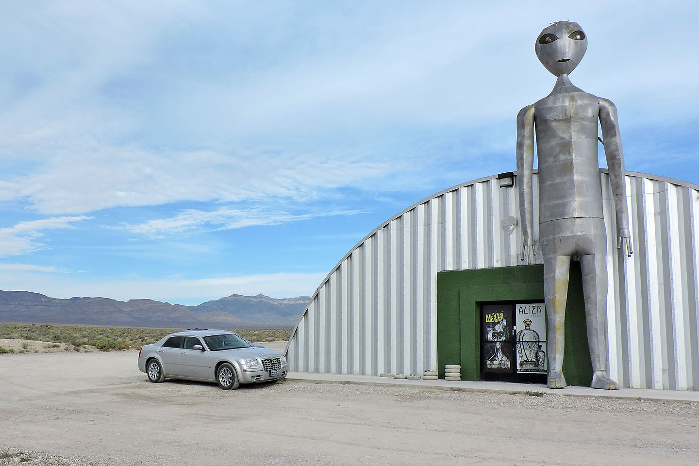
Mount Irish (above the car) seen from the Alien Research Center, actually a tourist shop
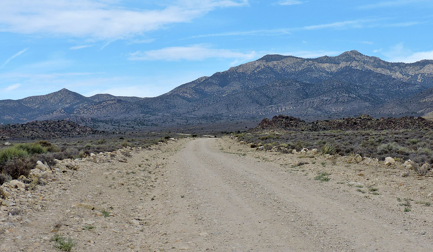
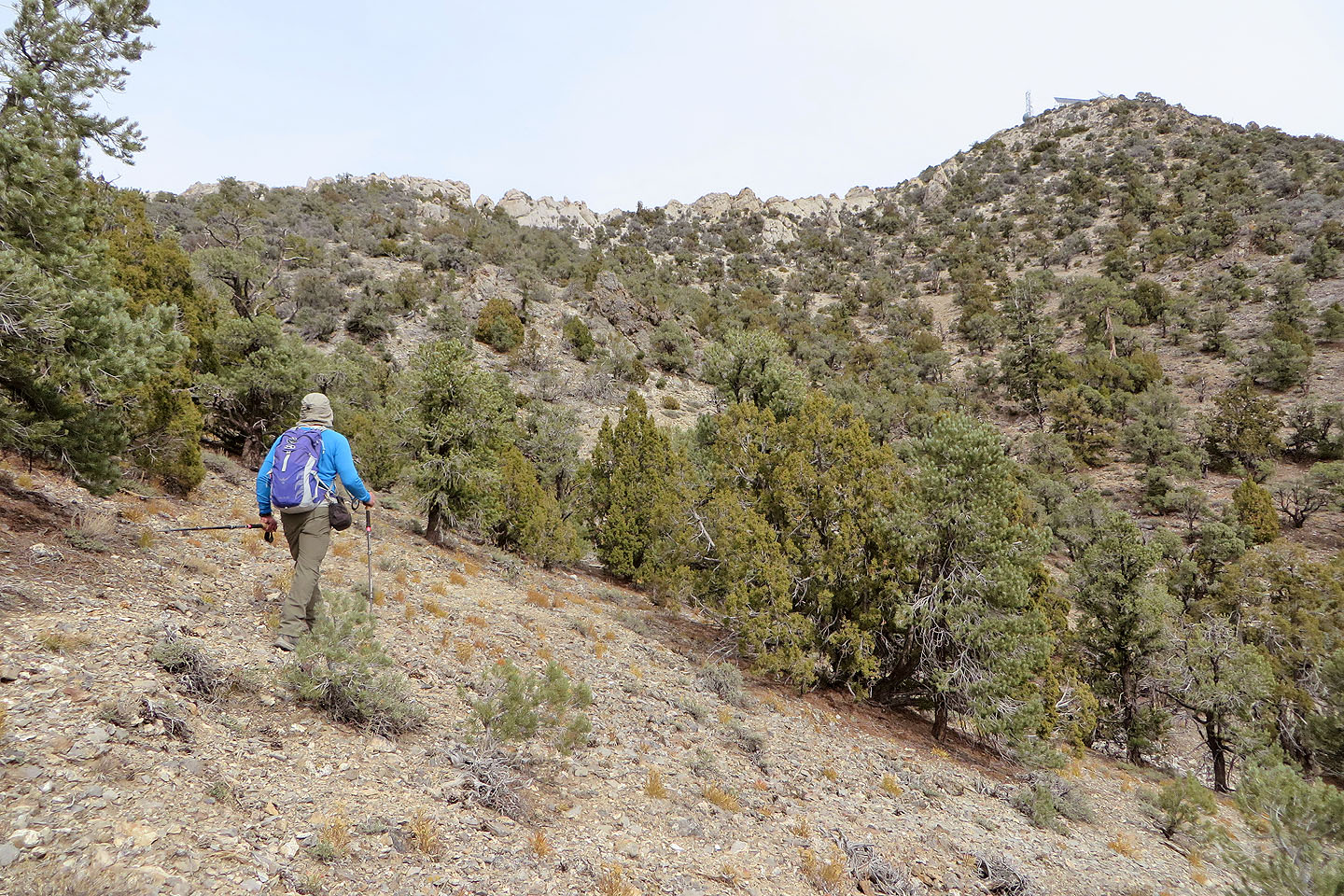
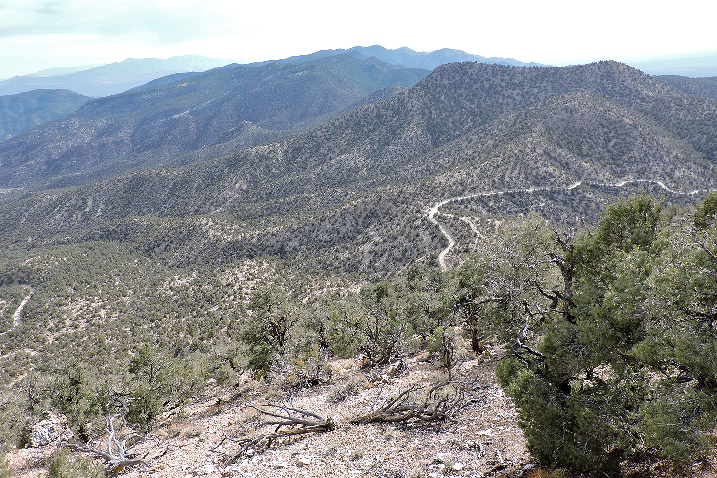
Mount Irish, far right, seen from Logan Canyon Road
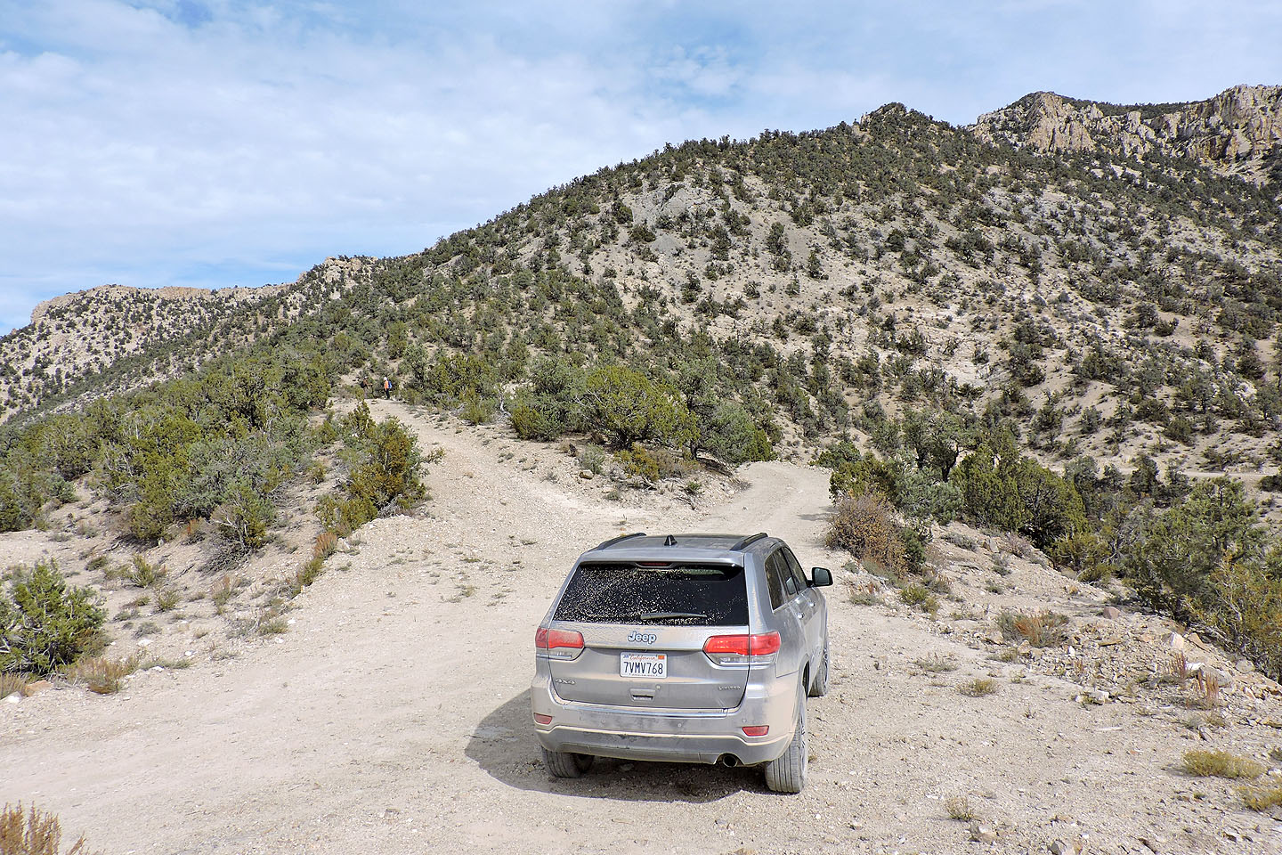
We parked on Logan Pass and ascended the ridge ahead
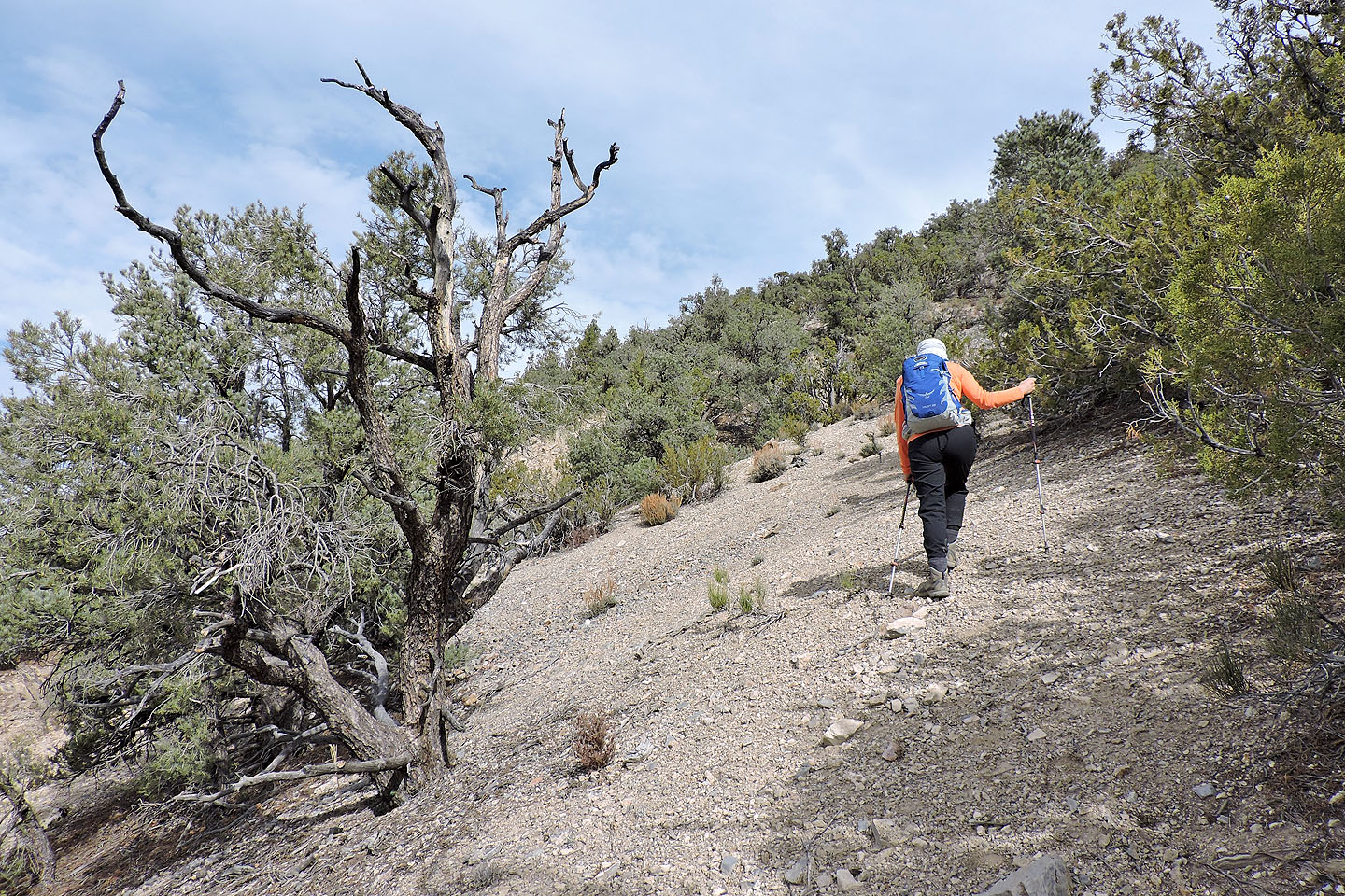
We followed a faint trail up the slope
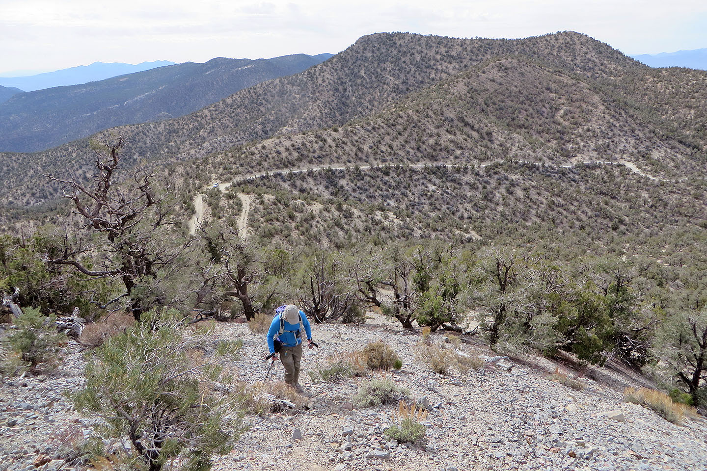
Looking back at the pass
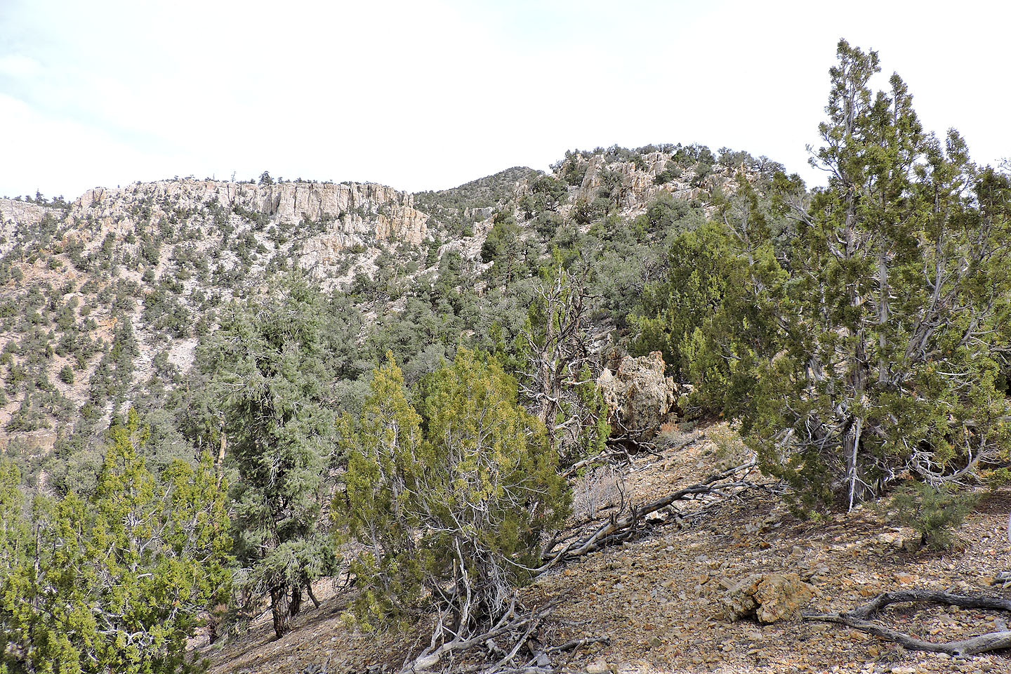
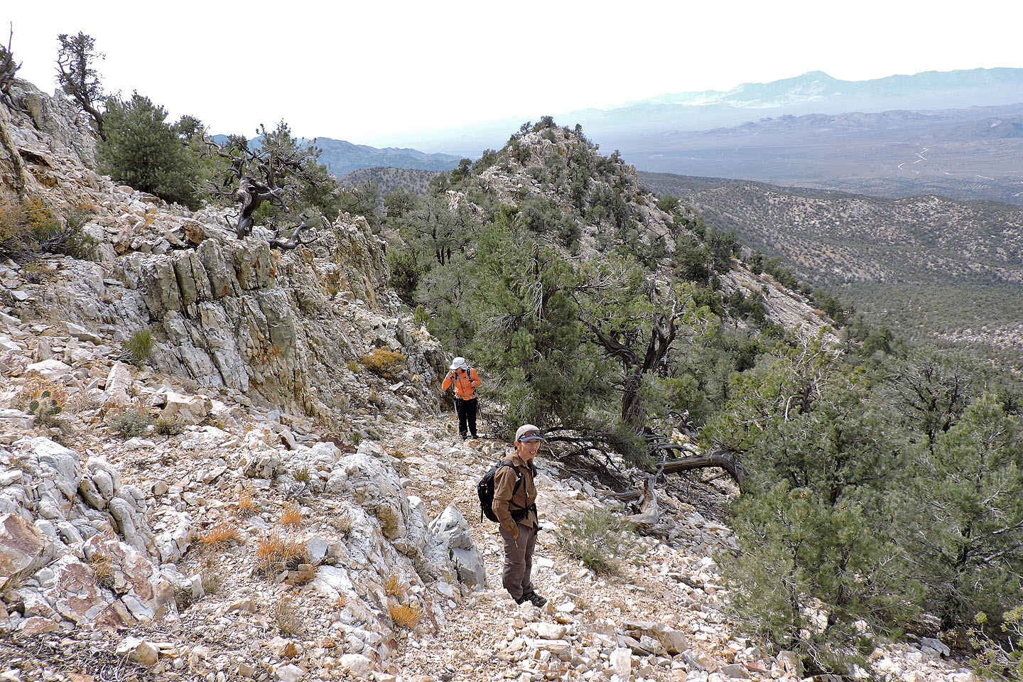
We soon got our first look at the quartzite cliffs
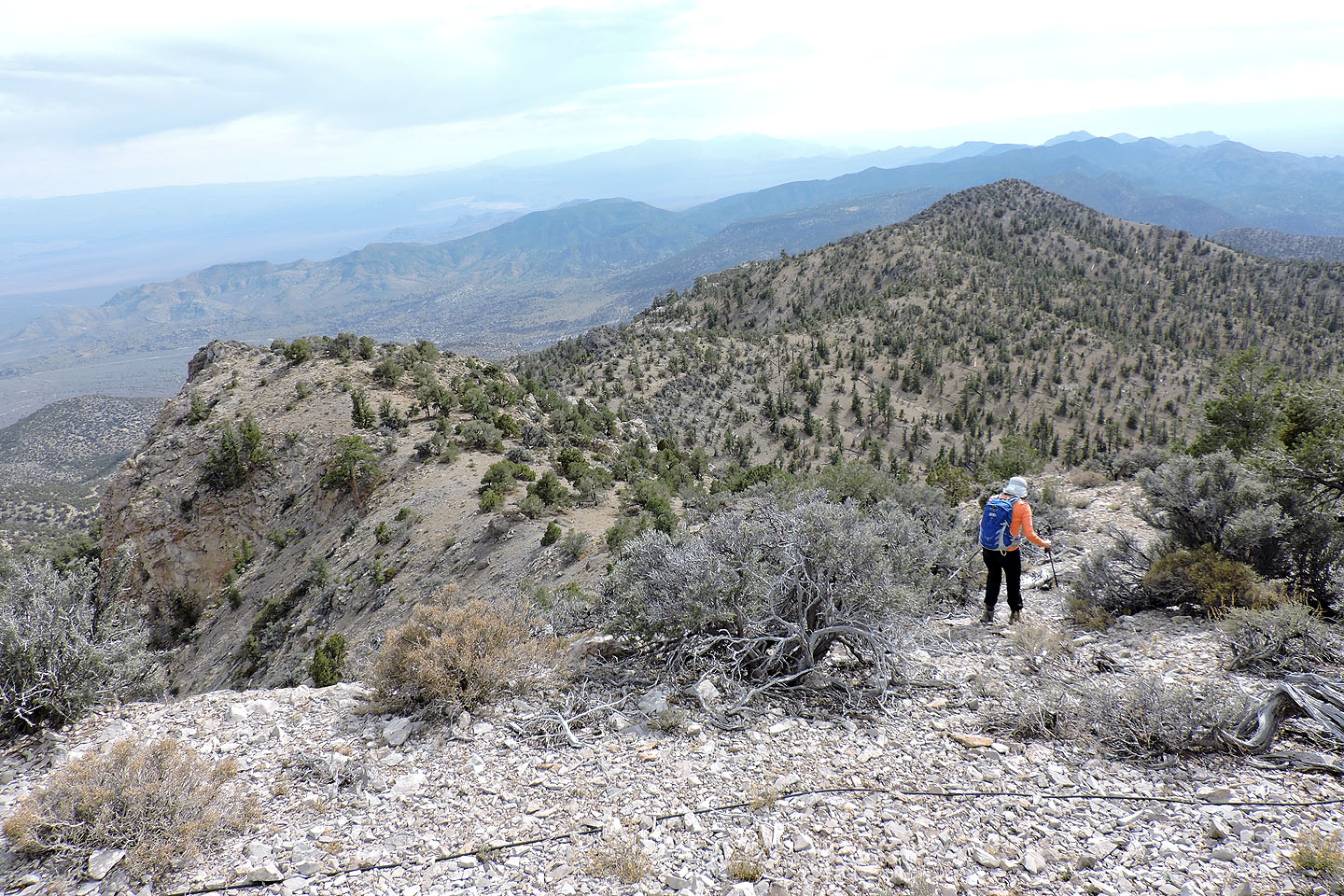
We followed the ridgeline at first but then stayed below the crest when we encountered rocks
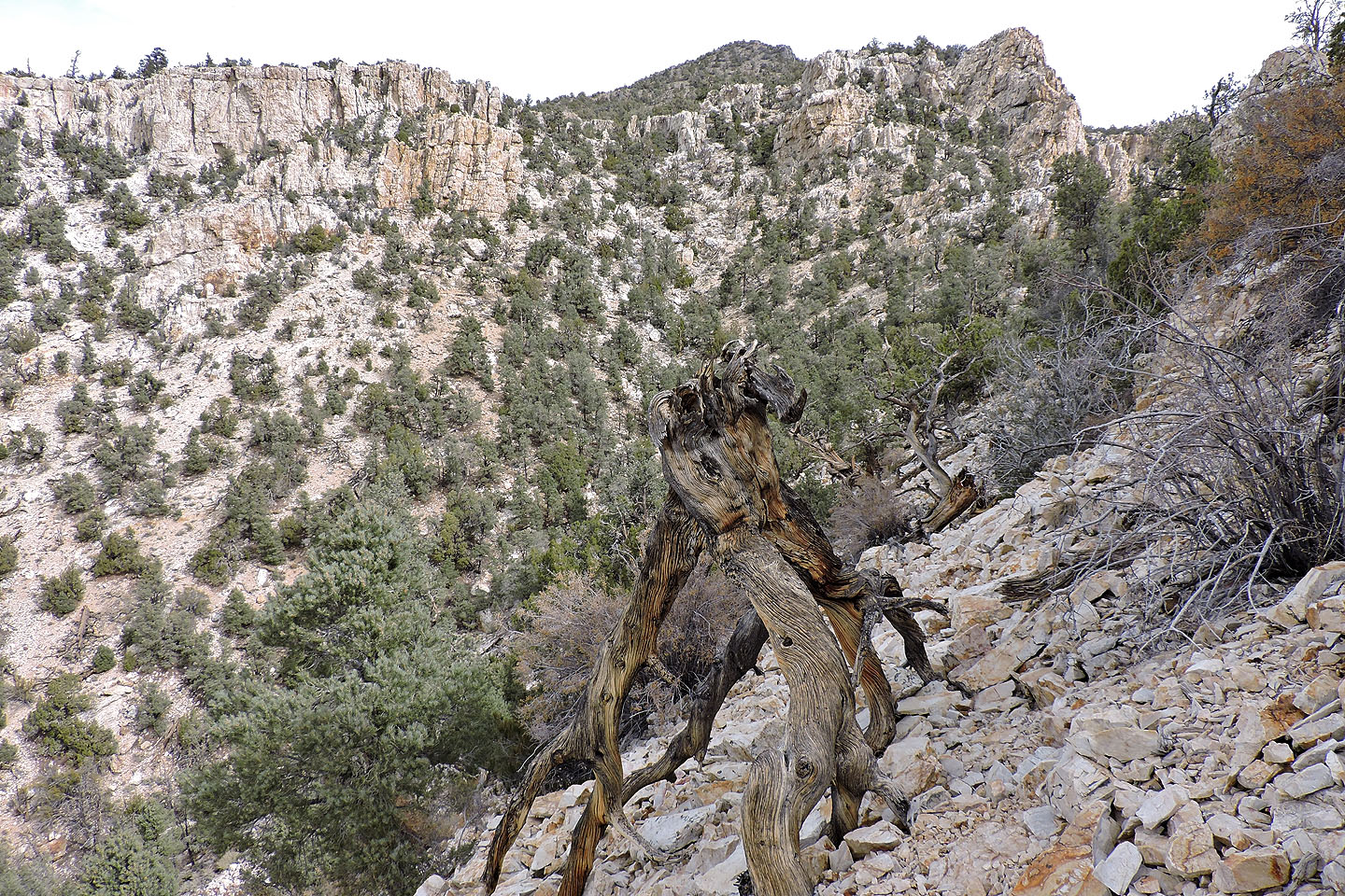
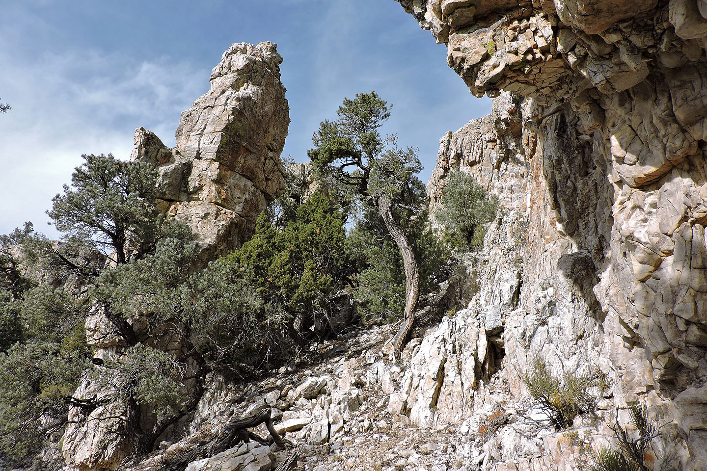
The weakness in the cliffs appears above the upsidedown tree

We came across this wooden post but don't know its significance. We found a second one in the basin.

The weakness in the cliffs is where the ridgeline dips down
Looking back at the ridge we followed
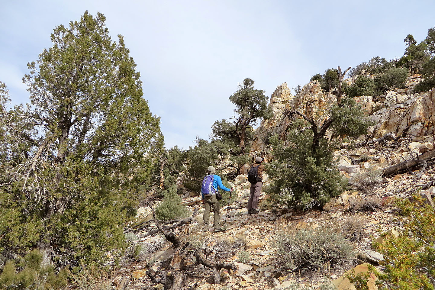
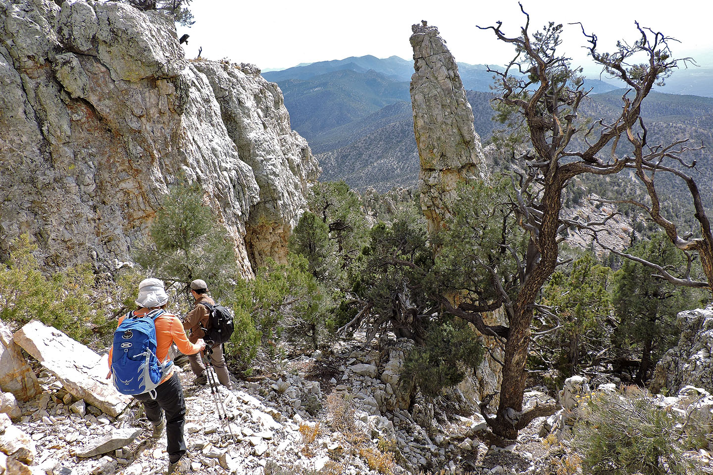
On the way to the weakness we passed two pinnacles (the second is partially hidden)
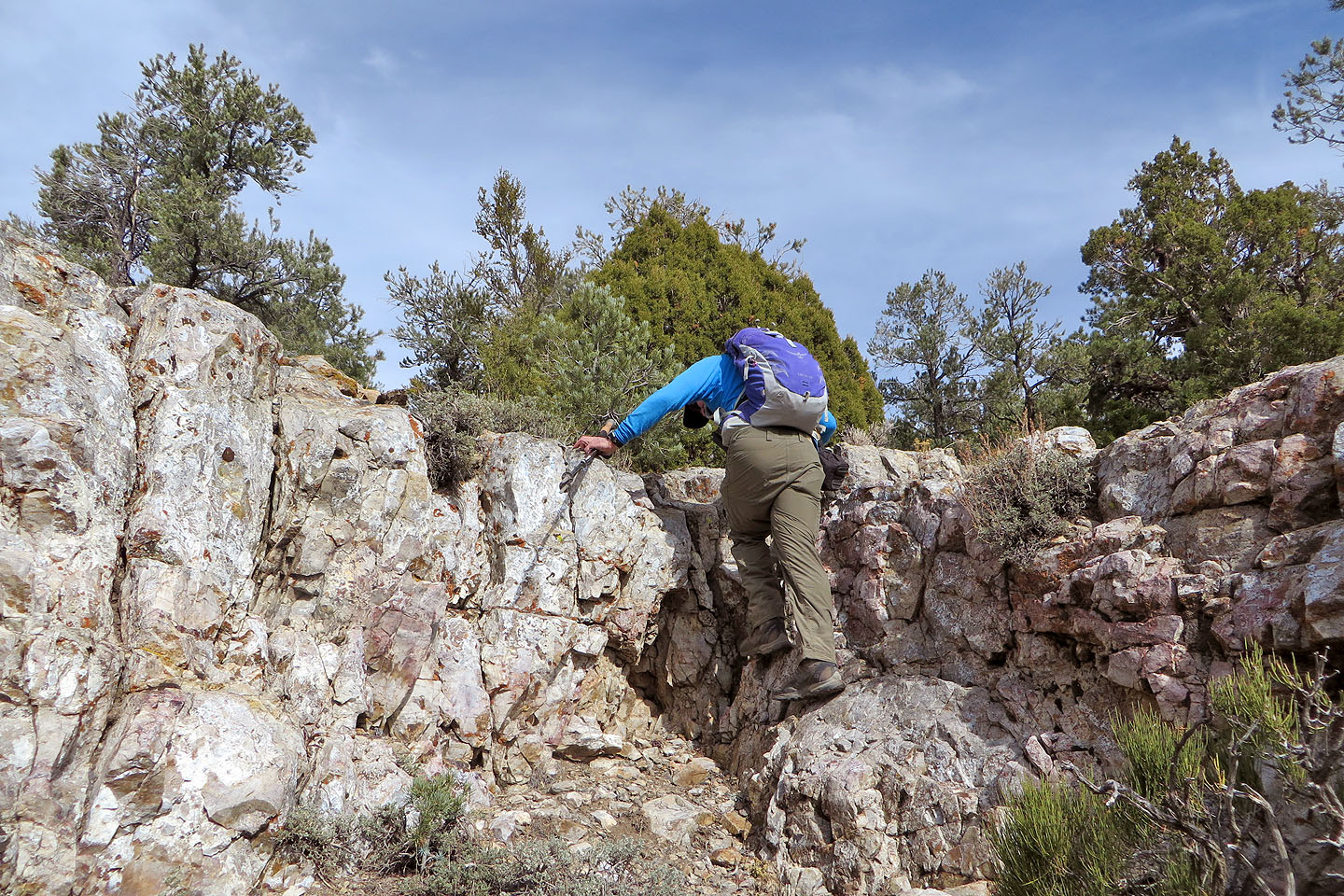
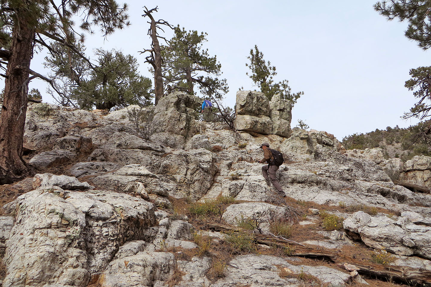
It's a short climb up the weakness in the rock band
Pausing on the cliffs to look around
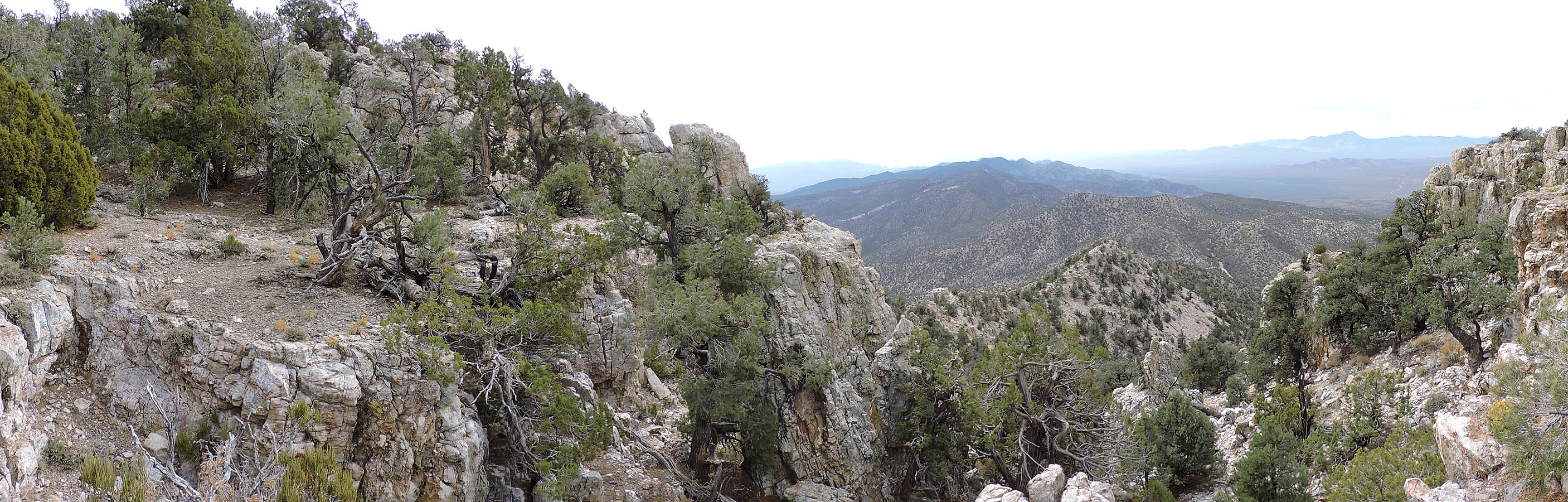
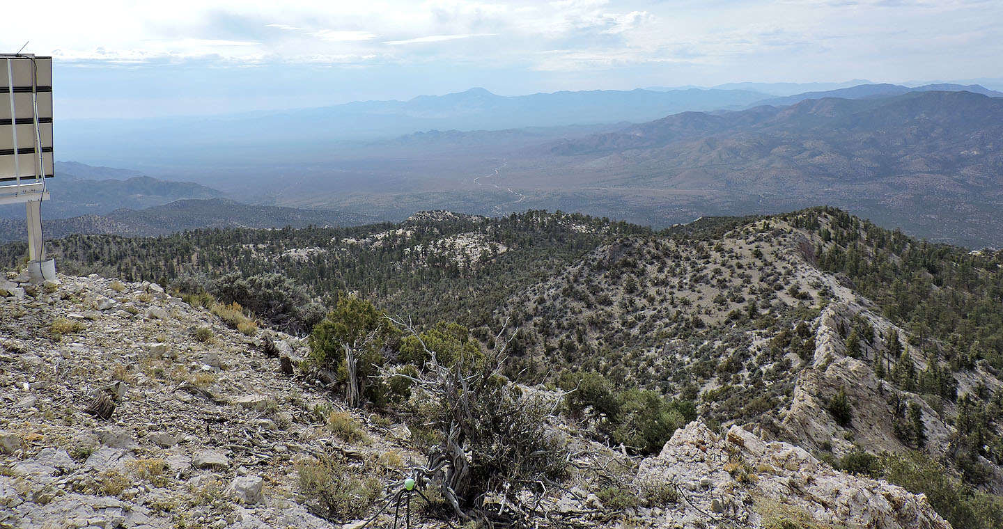
Panorama from the top of the weakness (click for a larger image)

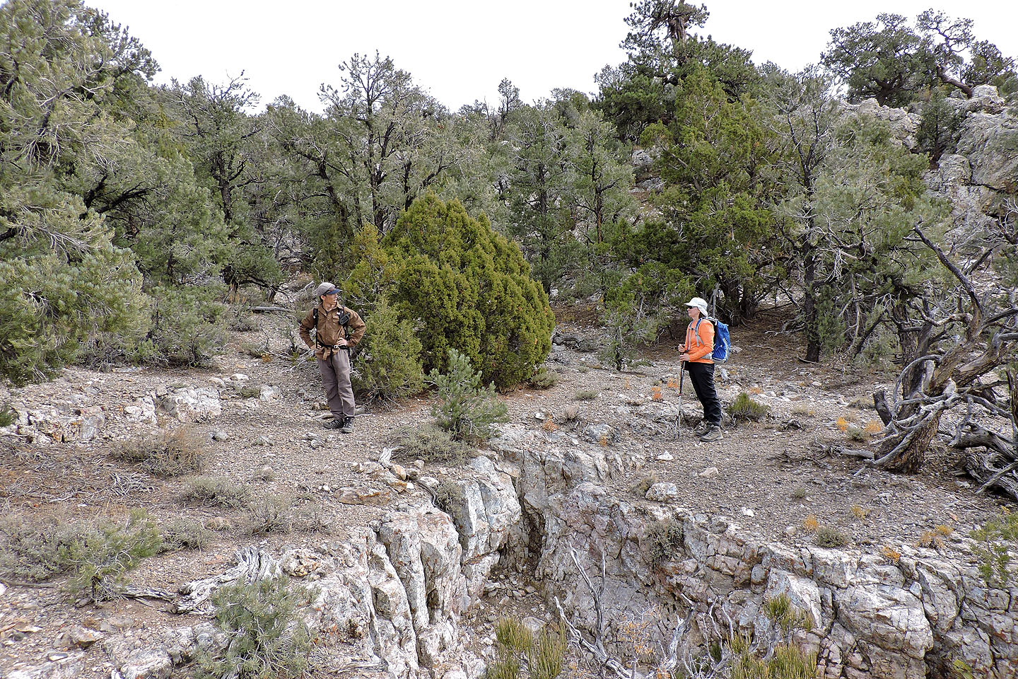
Above the cliffs the slope is thick with trees
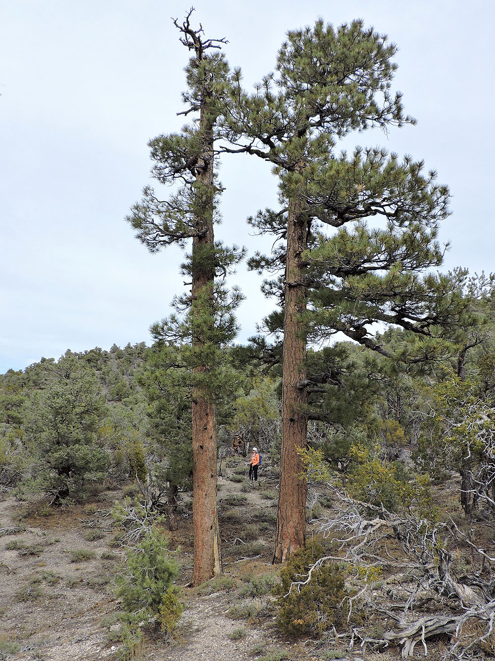
We began seeing ponderosa pines
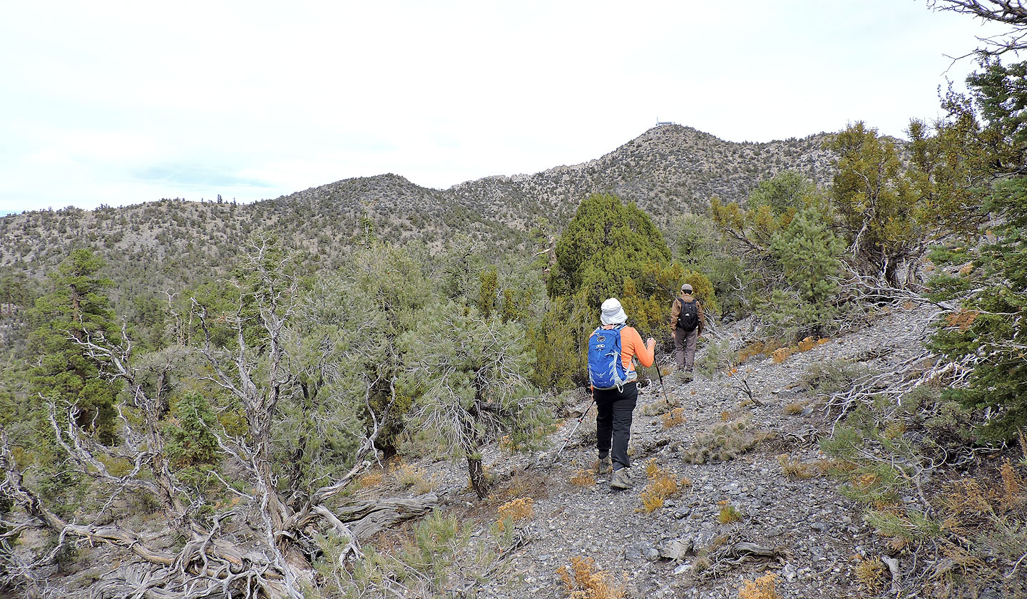
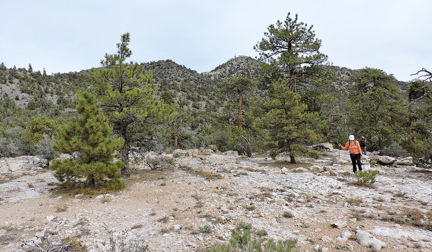
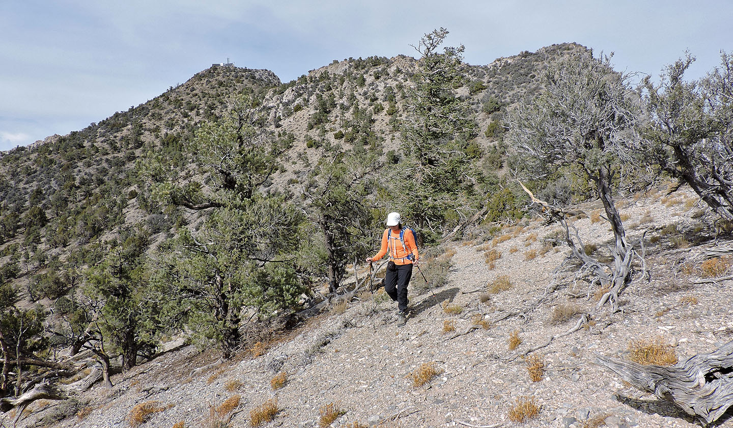
The summit is ahead but we turned left
We made our way to a plateau of white rock
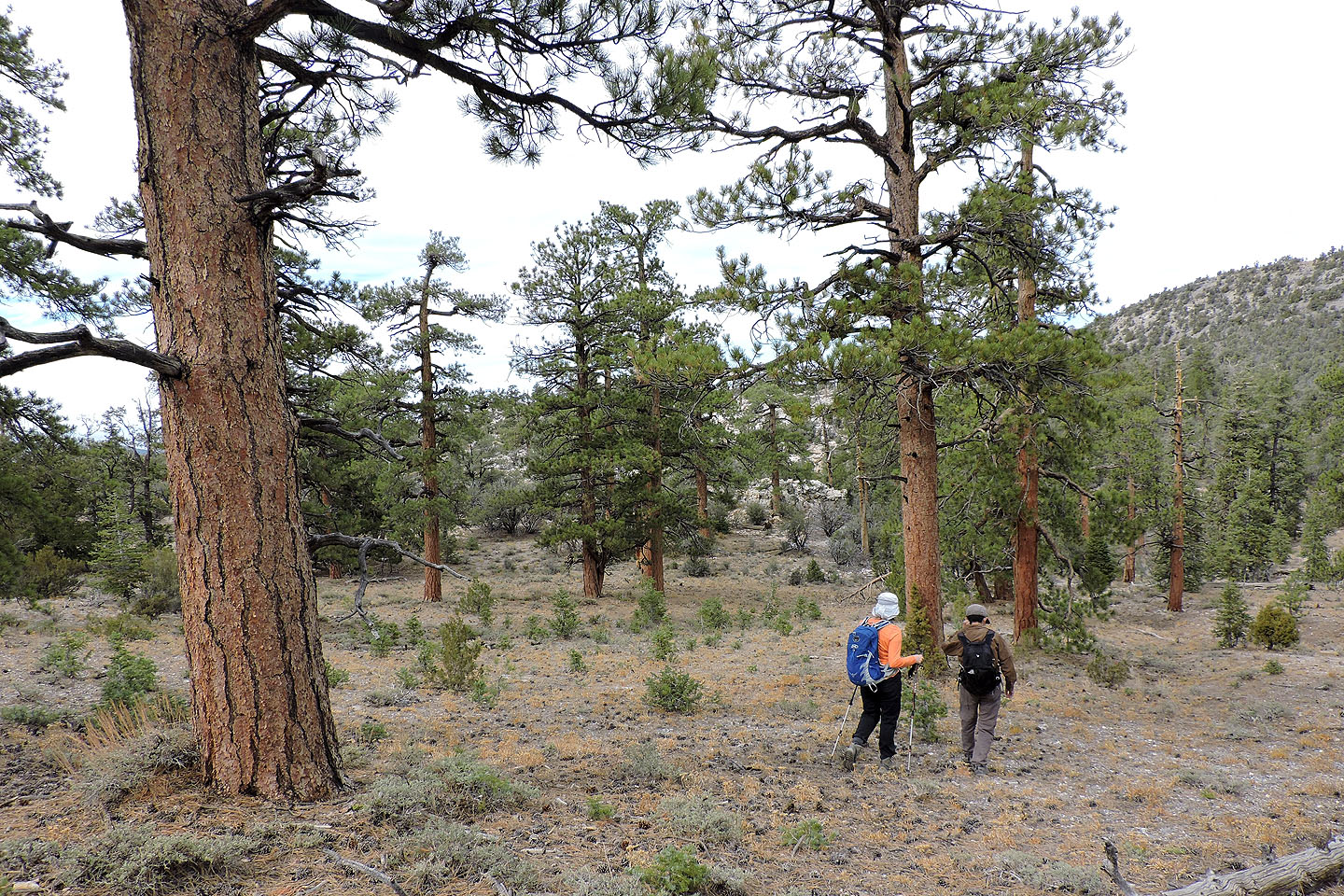
It was a pleasant walk through the woods
Climbing up to the plateau
View of the summit from the plateau
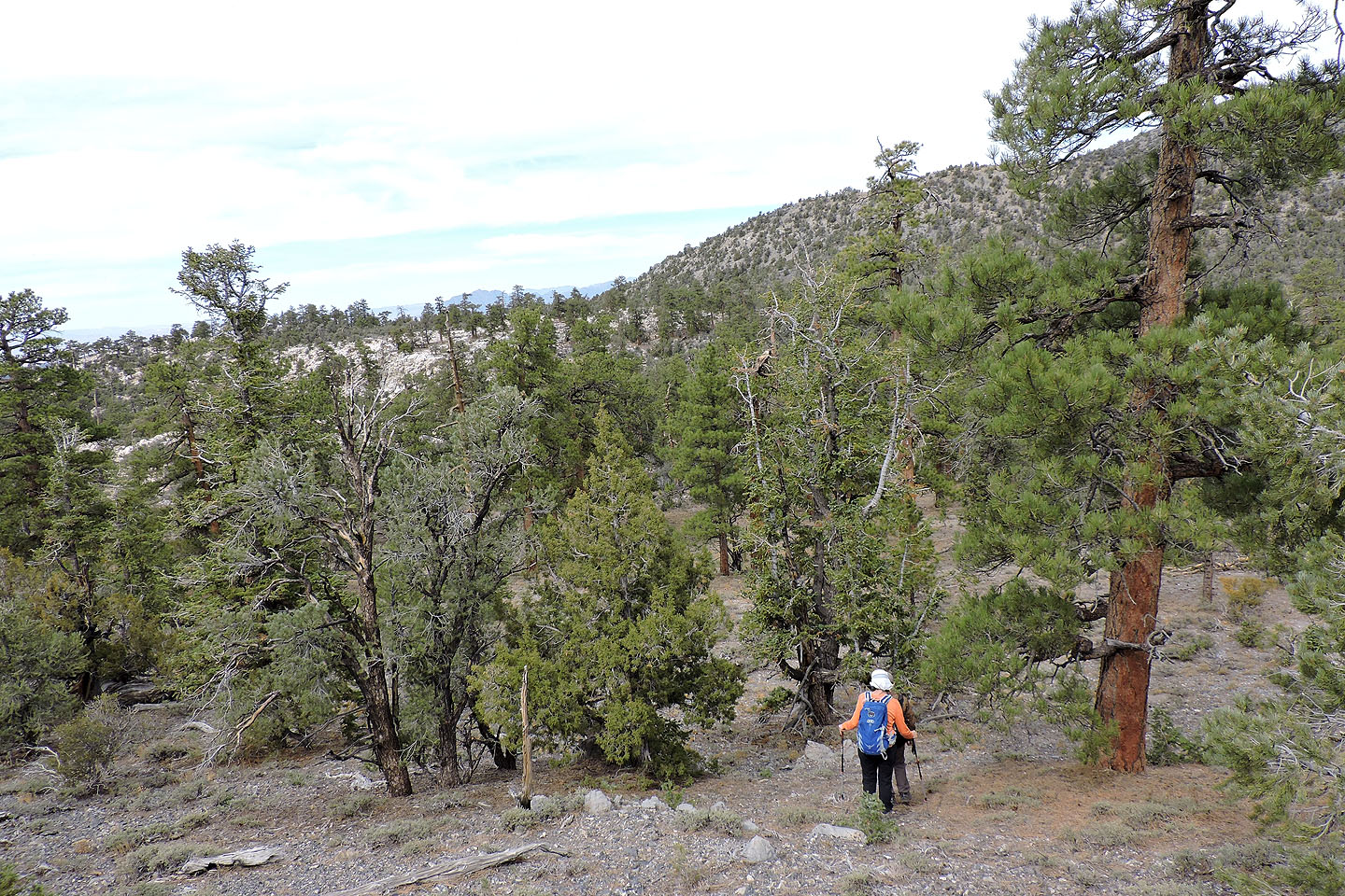
Traversing the wooded slopes to the summit
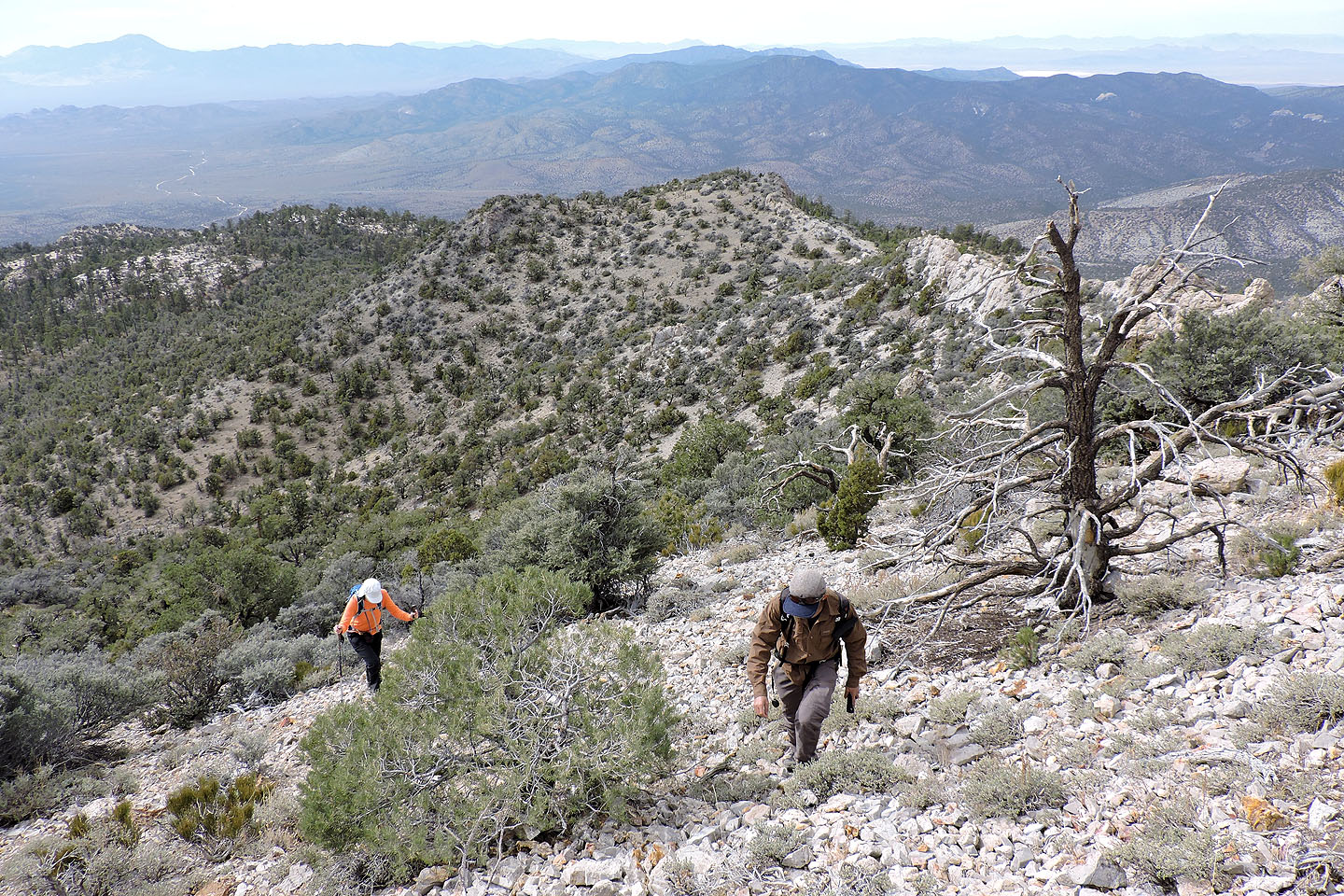
Looking back as we near the top of Mount Irish
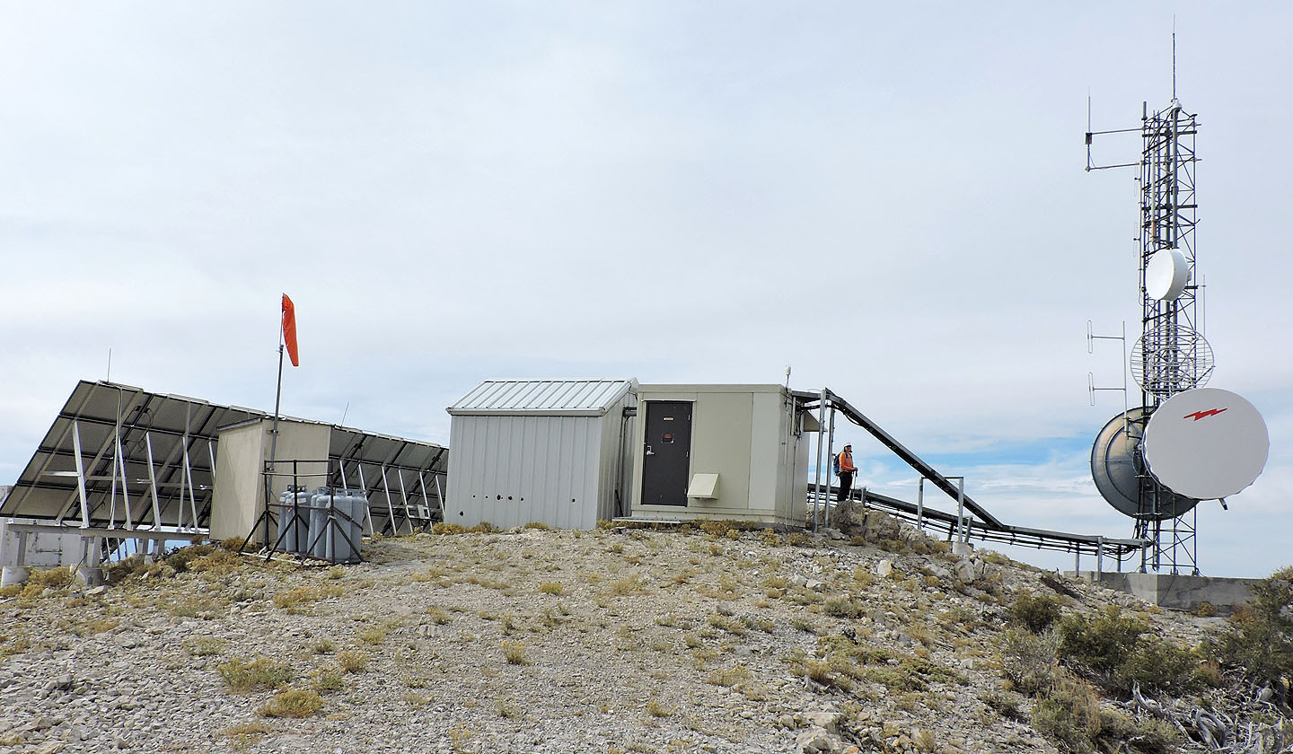
A building occupies the summit
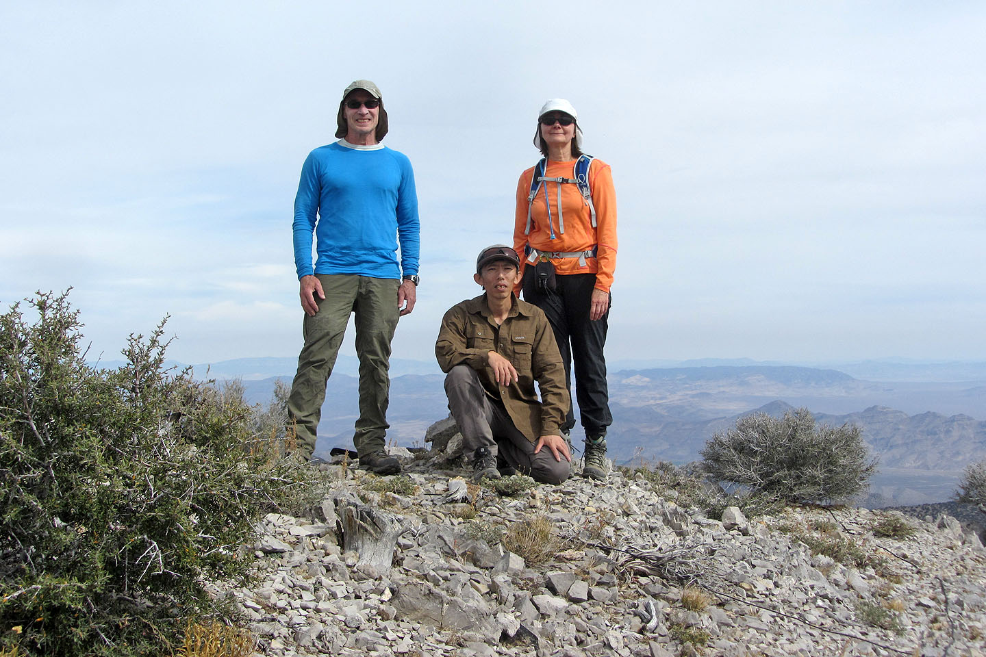
Posing in front of the nearby summit cairn
Two people in a helicopter beat us to the summit by minutes
Area 51 lies 58 km southwest
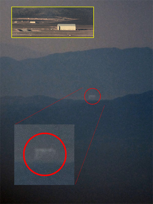
Despite the haze, Shin was able to get a photo of a huge hanger, 210 feet wide by 250 feet long
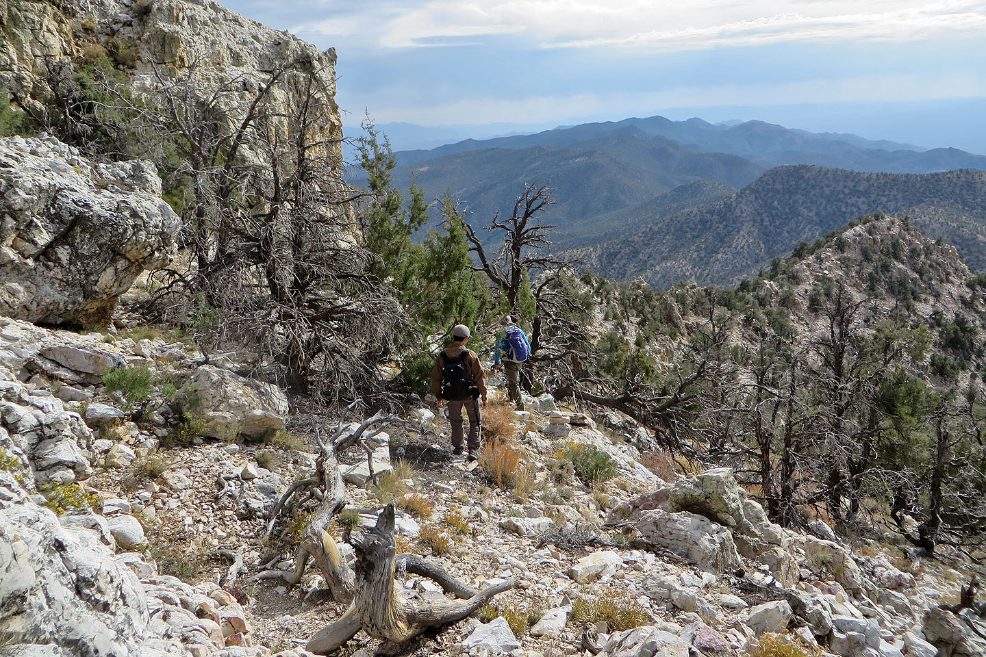
Starting down the southeast ridge from the summit
Looking back at the summit
Coming to one of the pinnacles below the weakness
We retraced our steps back along the ridge
Looking down at our car parked on Logan Pass
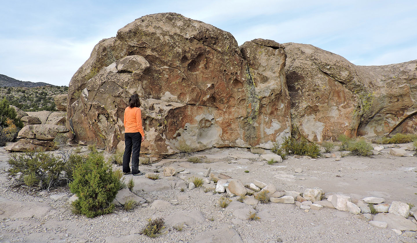
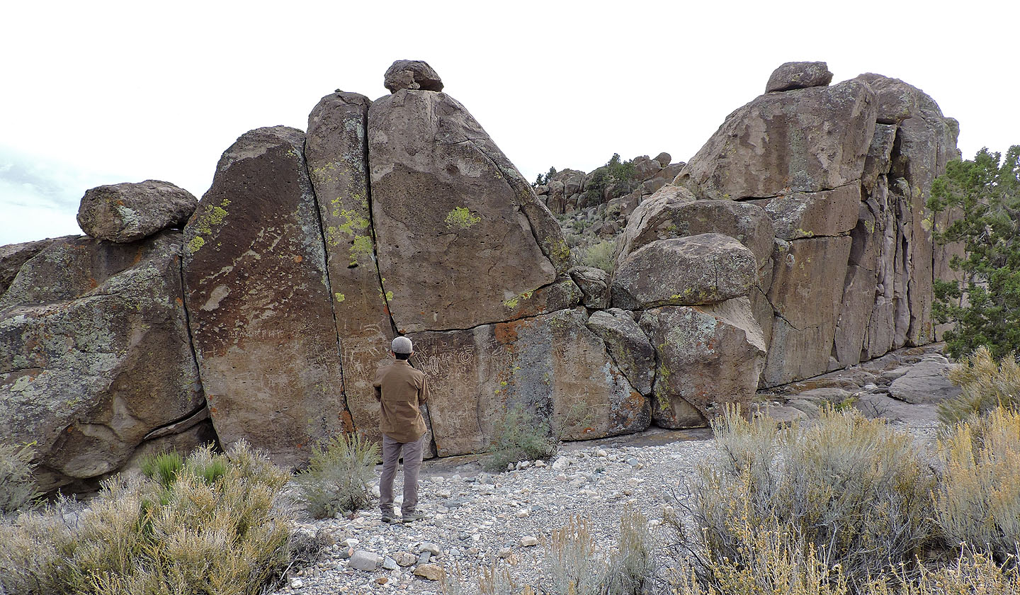
Dinah studies the petroglyphs at Paiute Rocks
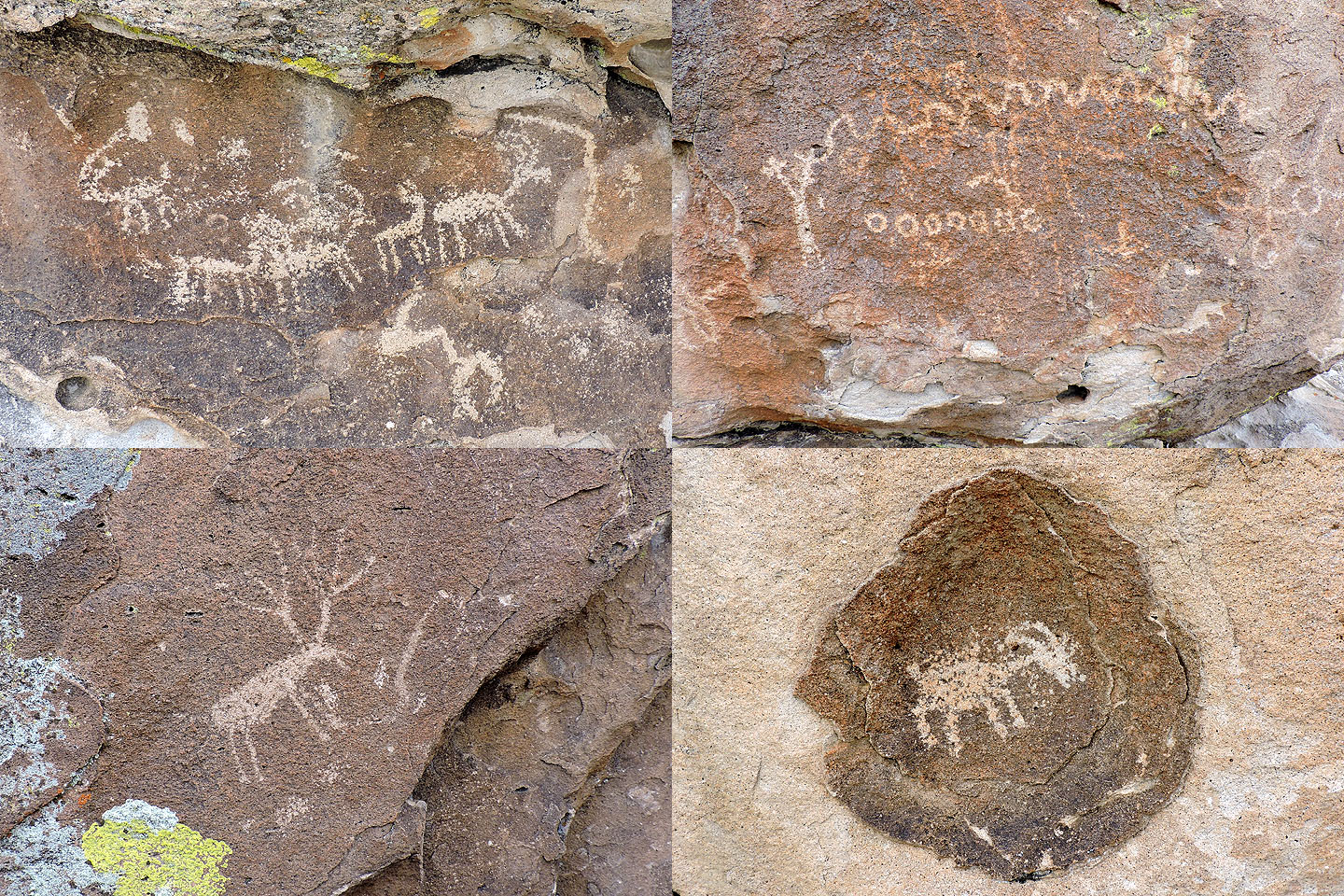
A few of the petroglyphs at Paiute Rocks
Echo Rock petroglyph site is a natural mural
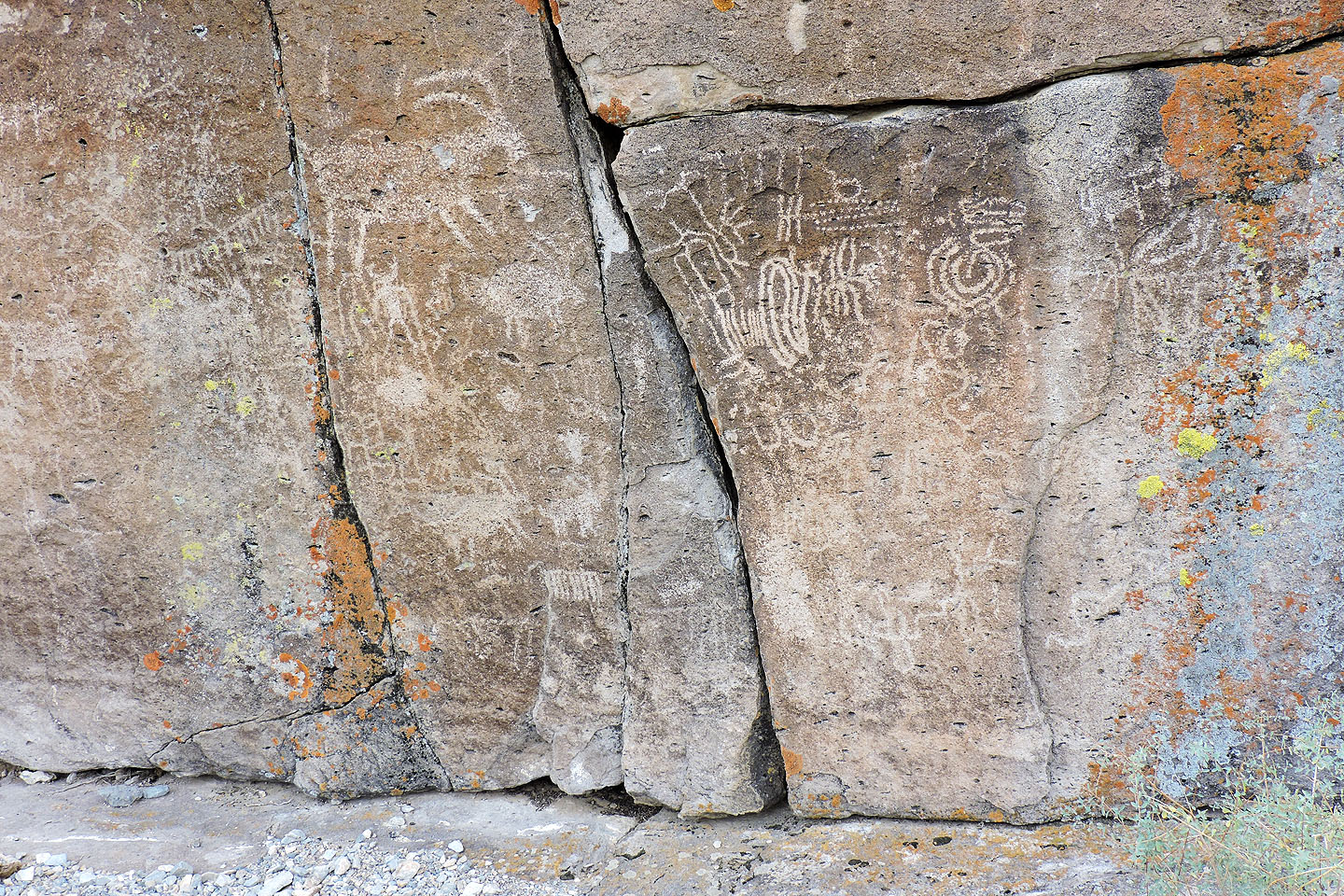
View of one of the "panels"
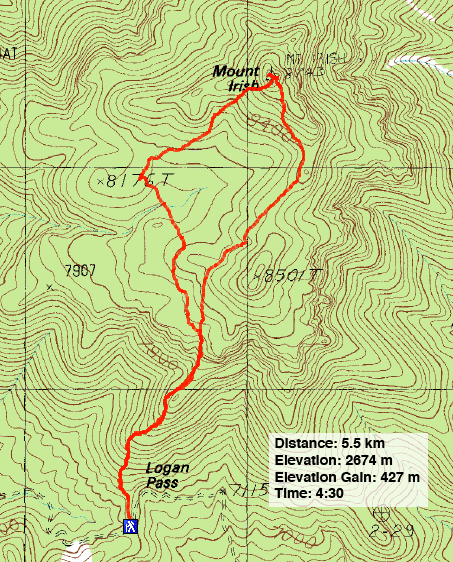
Mount Irish (3.4 mi, 8773 ft, 1401 ft)