bobspirko.ca | Home | Canada Trips | US Trips | Hiking | Snowshoeing | MAP | About
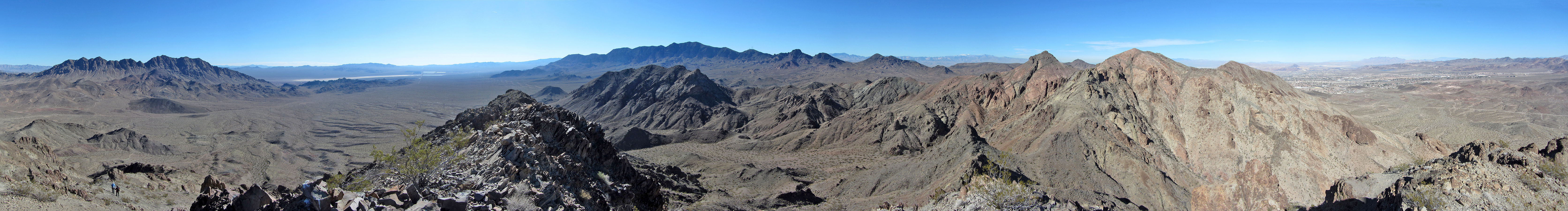
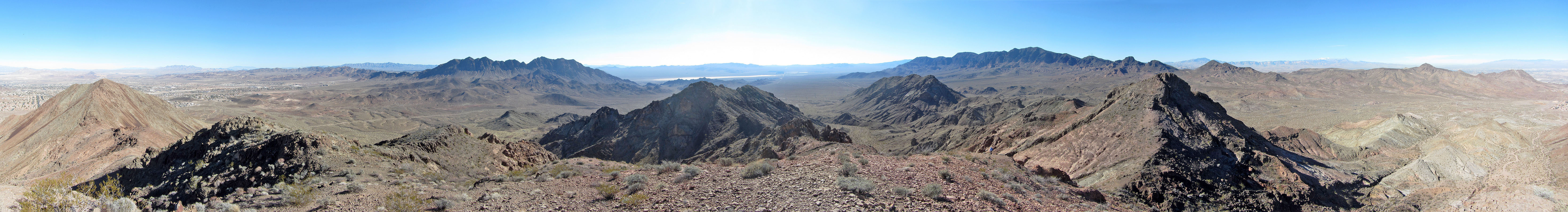 Panorama from The Queen
The King, The Queen, and The Jack
Henderson, Nevada
January 22, 2018
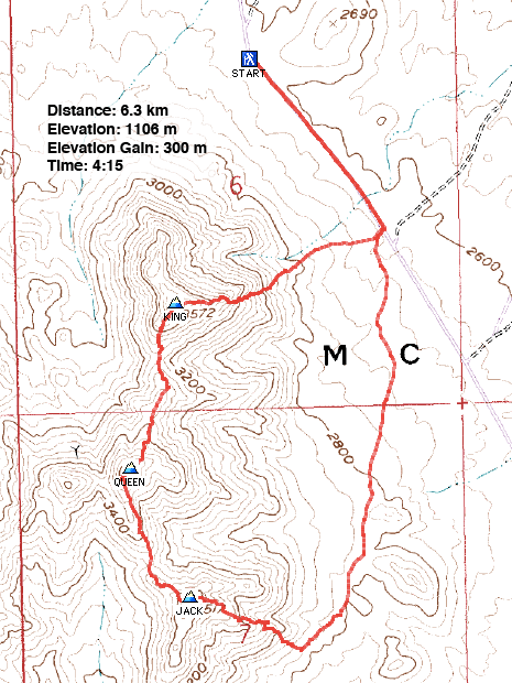
Distance: 6.3 km (3.9 mi)
Cumulative Elevation Gain: 474 m (1555 ft)
Lying south of Henderson is a trio of class 2 peaks bearing card names: The King, The Queen and The Jack. Starting with The King and ending with The Jack, the three can be climbed in a loop.
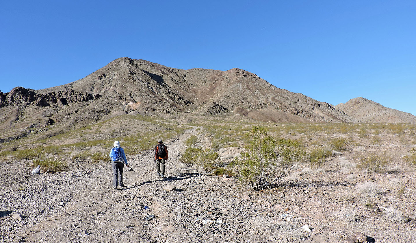
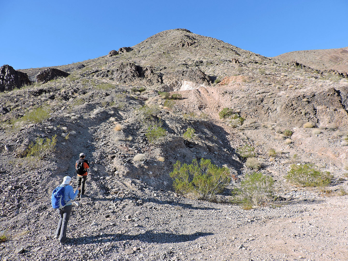
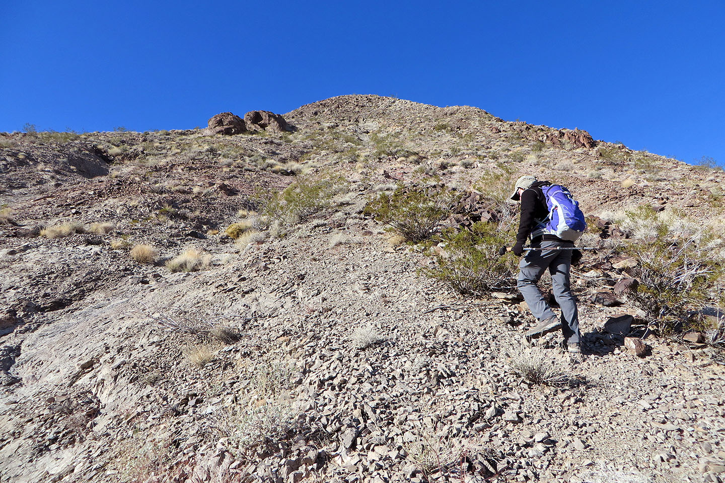
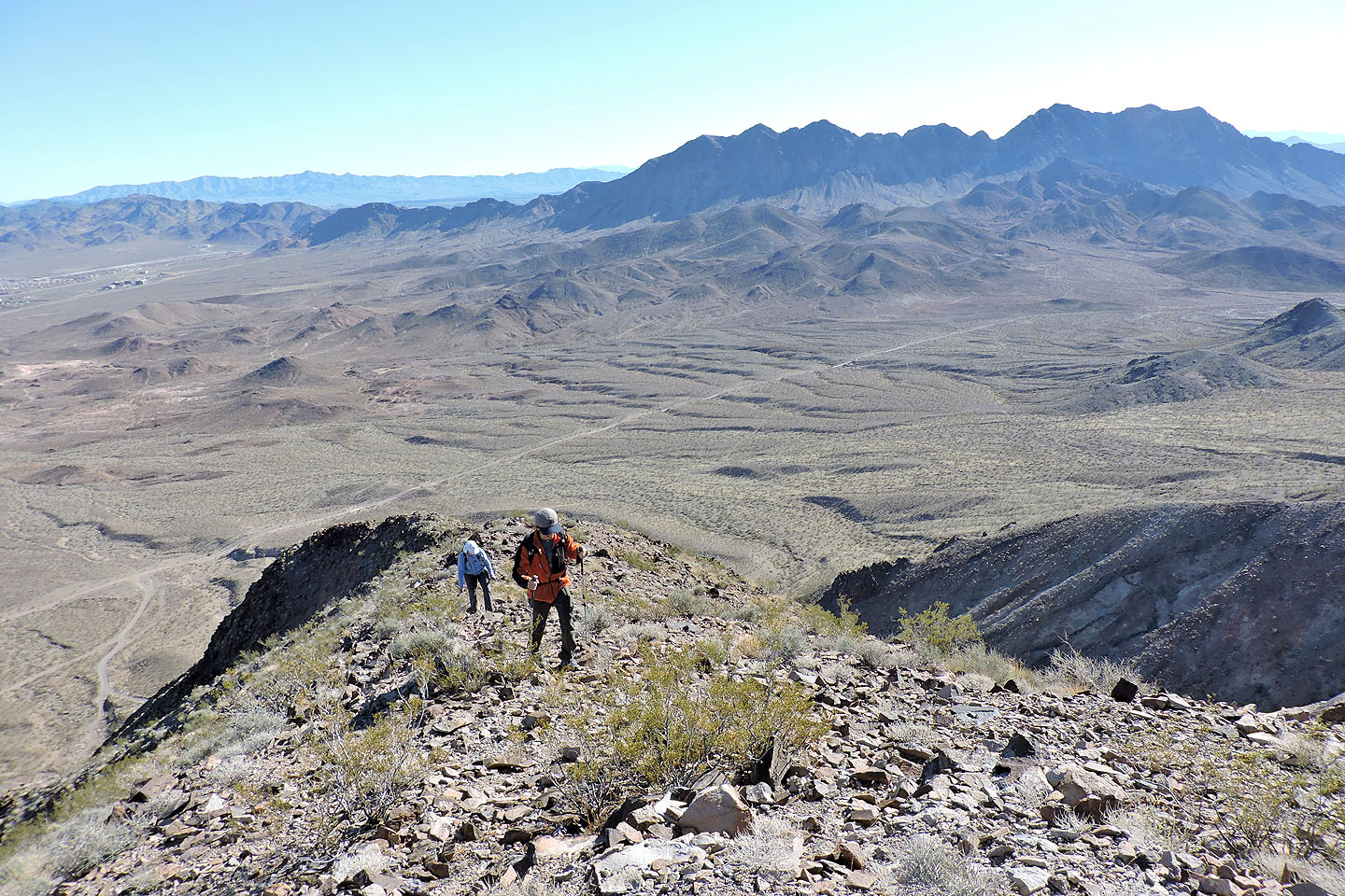
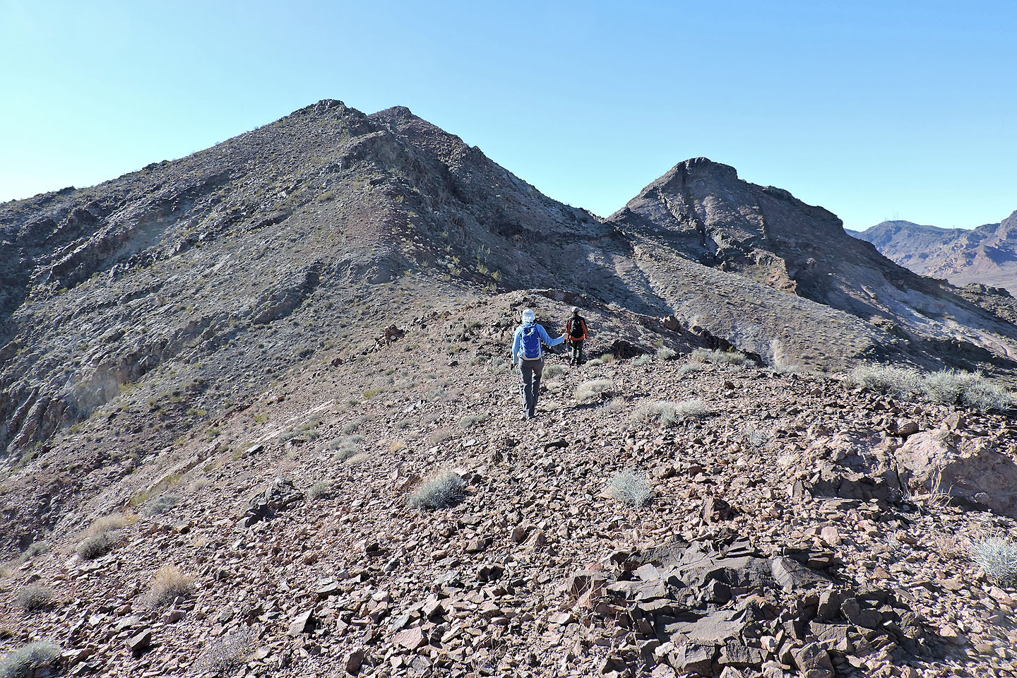
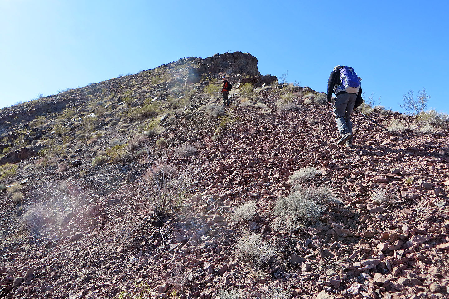
Shin, Dinah and I parked our sedan at the end of Dutchman Pass Road and walked one klick up the 4WD road to a side road leading to the east ridge of The King. While this route appeared promising on the map, it turned out unforgiving, being steep and full of loose rock.
A tall flag pole tops The King. Unfortunately the bottom of the American flag was detached, preventing it from flying open to the wind. Curiously another flag, in better shape, flies from a lower point on the north ridge.
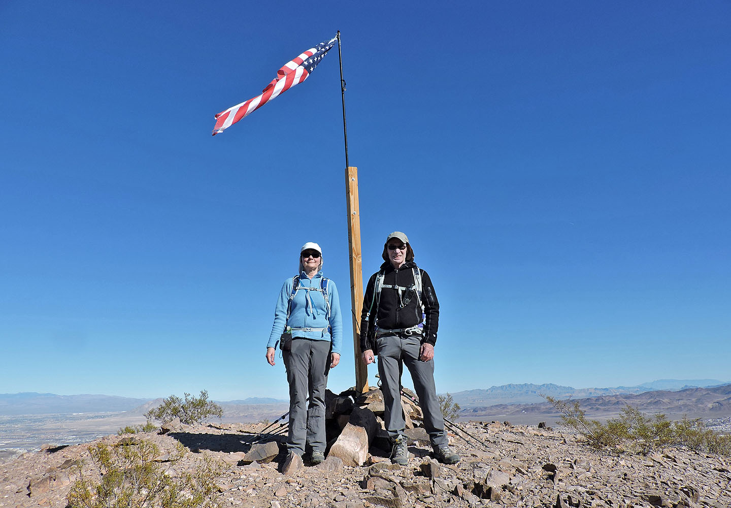
After a short stay, we set off for The Queen, the highest of the three peaks. The Queen proved to be a kinder ascent than The King and lacking a flag pole, I could take an uninterrupted summit panorama.
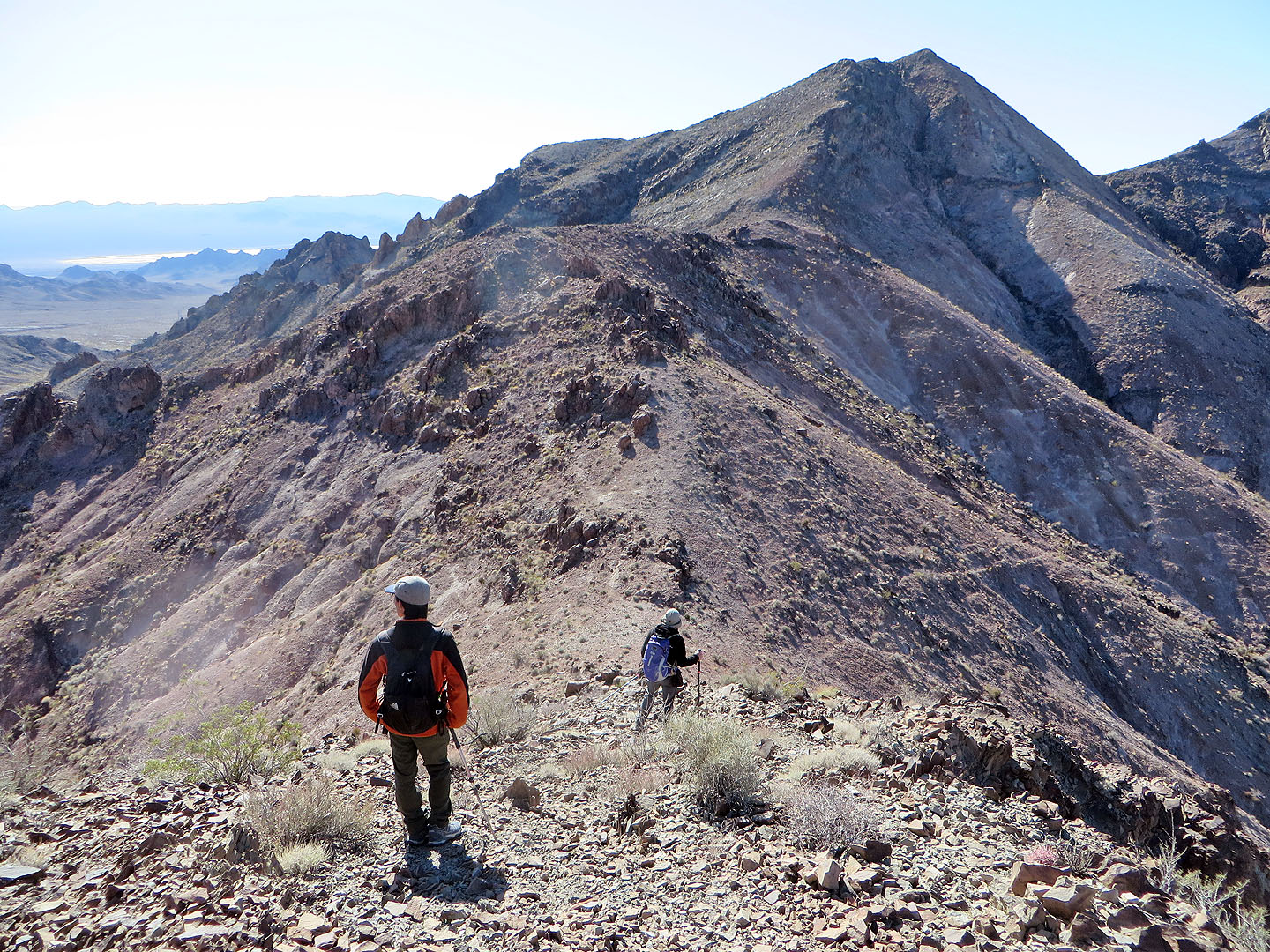
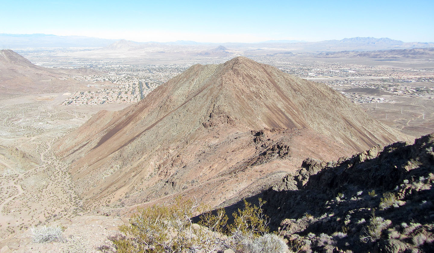
To the west lies an outlier, White Gold. The steep drop from The Queen discouraged us from trying it, although had it been called “The Ace,” I'm sure we would have been compelled to do so. It just didn't play into our hand, so we continued south to climb The Jack.
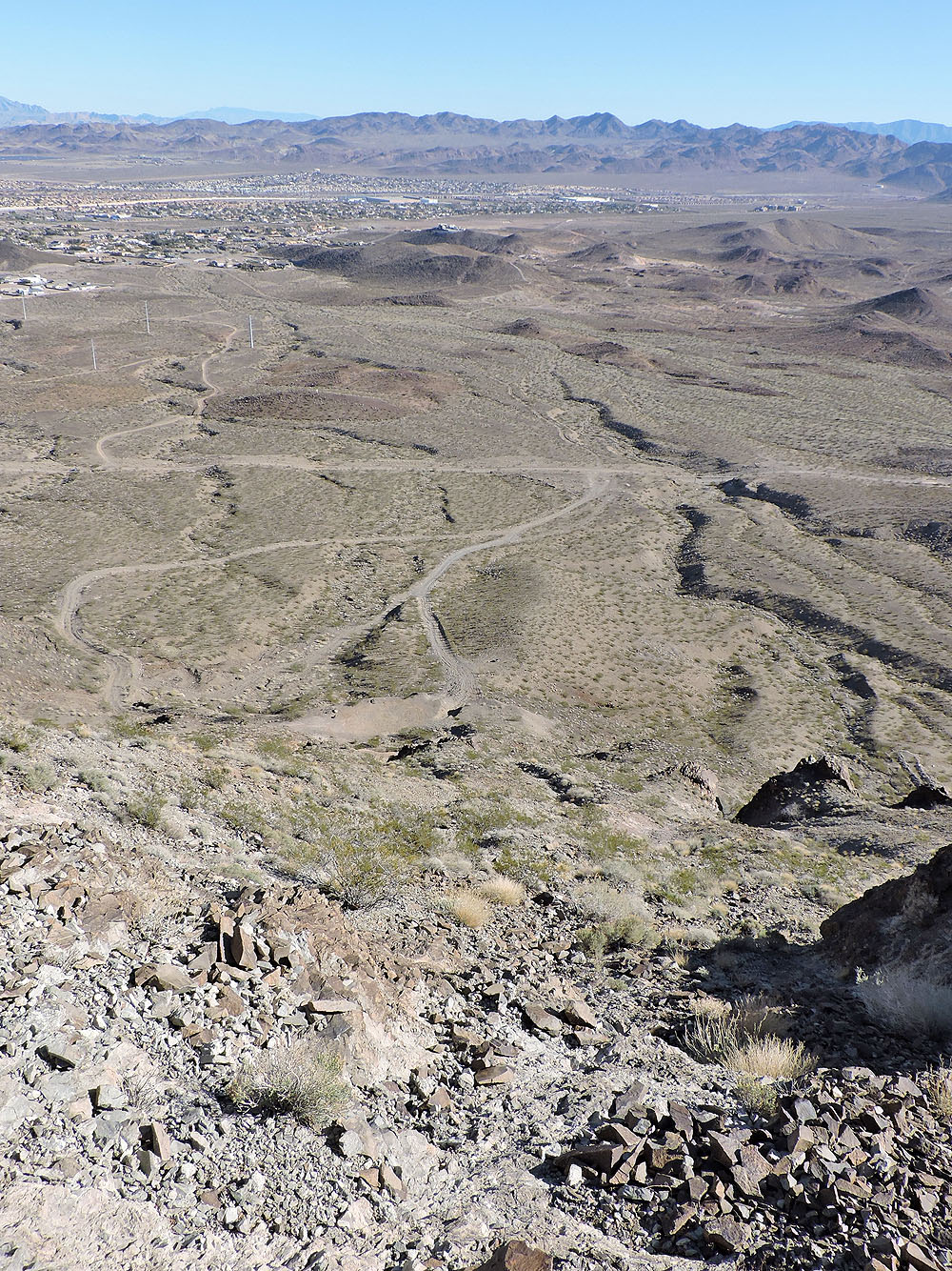
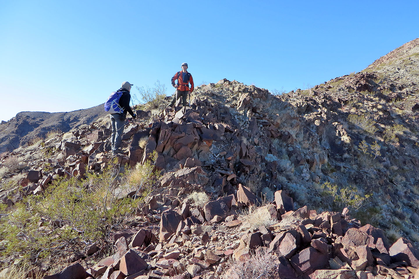
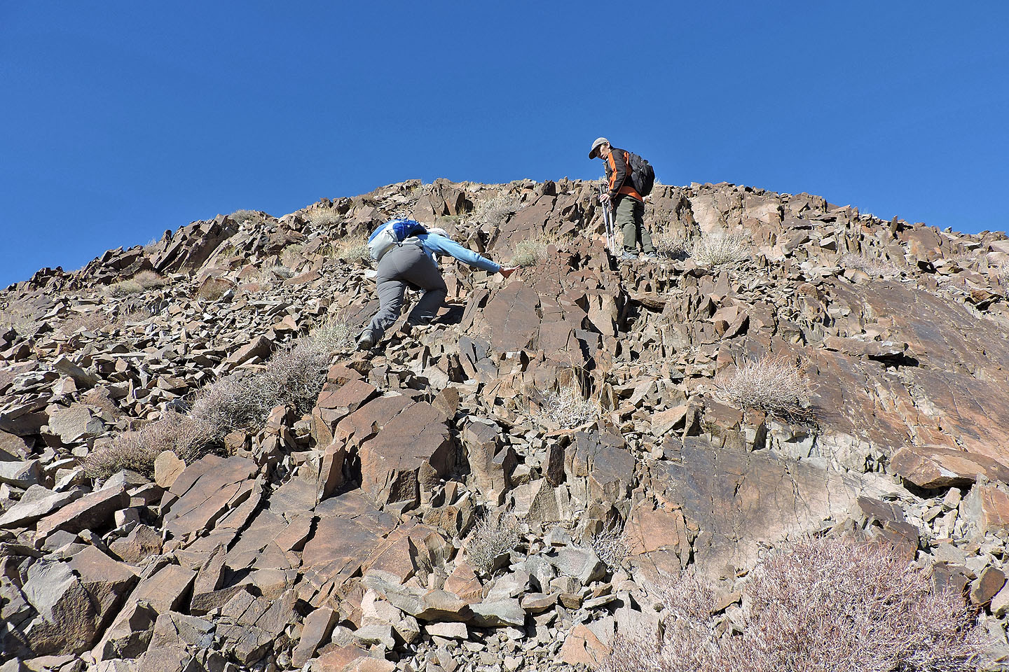
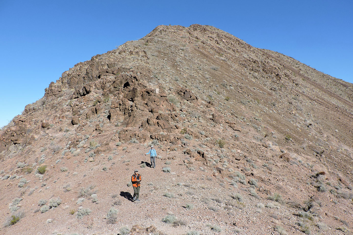
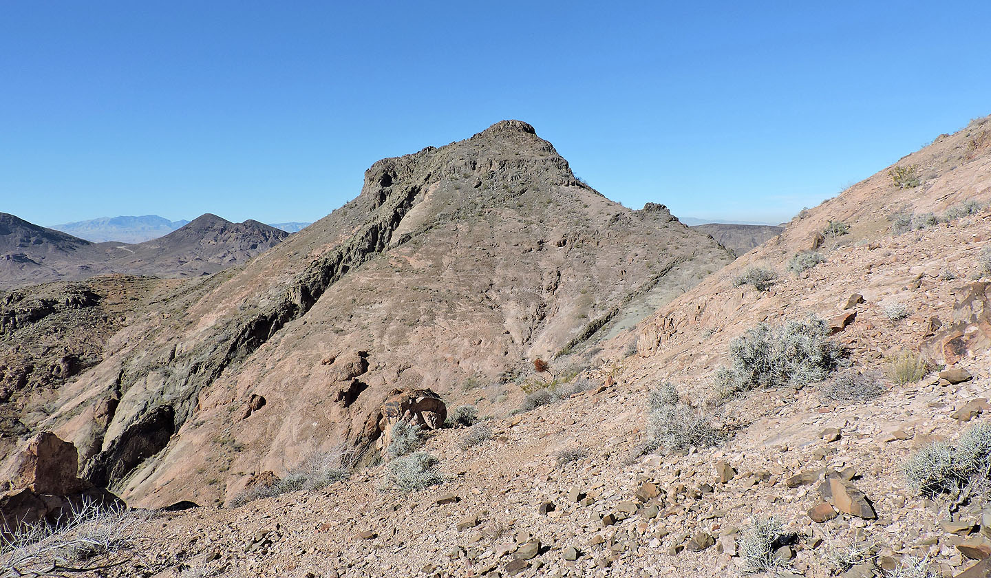
Although the connecting ridge bristles with tall outcrops, we easily circumvented them. A short, steep climb brought us to the top of The Jack. Like the other two summits, it too had a register. We signed the register and descended the southeast ridge. Like the King, it was steep and replete with loose rock, but all obstacles along the ridge can be easily avoided. Nonetheless we were glad to reach the base of the mountain. We strolled across the desert flats back to the main road and back to our car.
I'm curious about ascending the north ridge of The King. Looking at Google Earth, there appears to be a trail. We just may return to check it out.
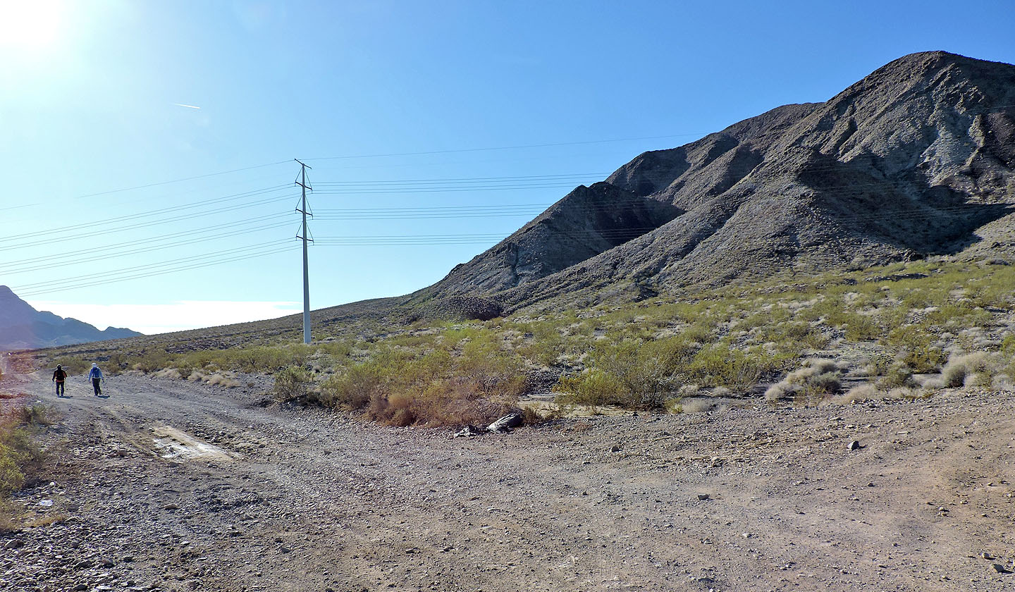
Starting up the road, The King is on the right
A side road leads to the east ridge of The King
At the end of the road we started climbing
False summit ahead
Looking back
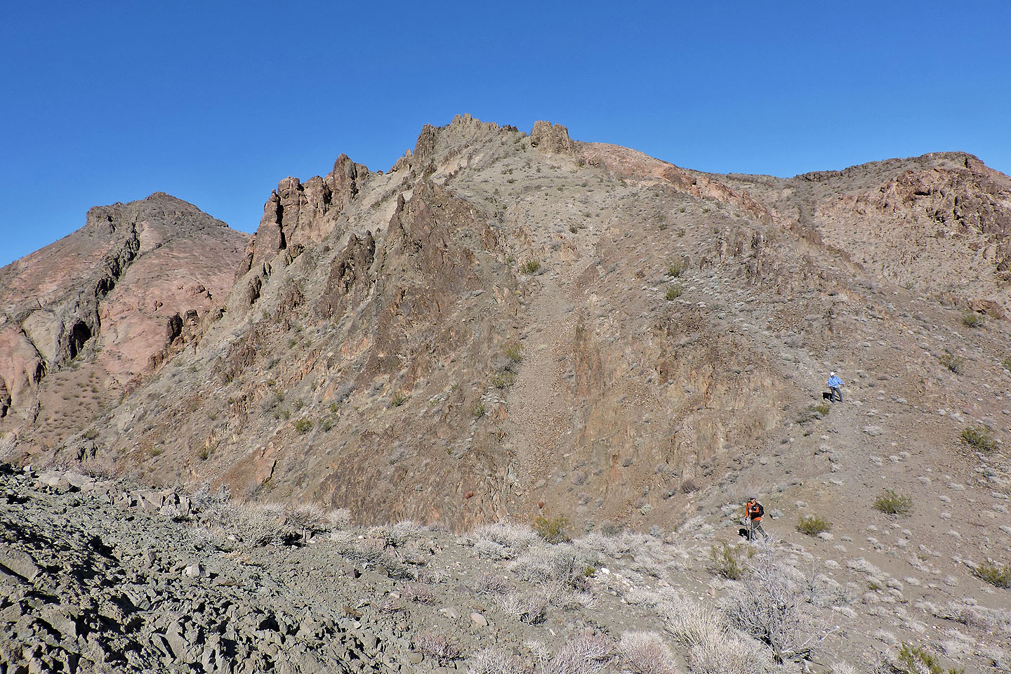
On the way up we encountered lots of vexing loose rock
It became steeper near the top of the false summit
Looking back after passing the false summit
Dinah and I on the summit of The King
Dropping down to the col that leads to The Queen
Looking back at King from the col
Heading to Queen. White Gold is on the right.
It's an easy ascent up Queen
Looking back at King from the summit of Queen
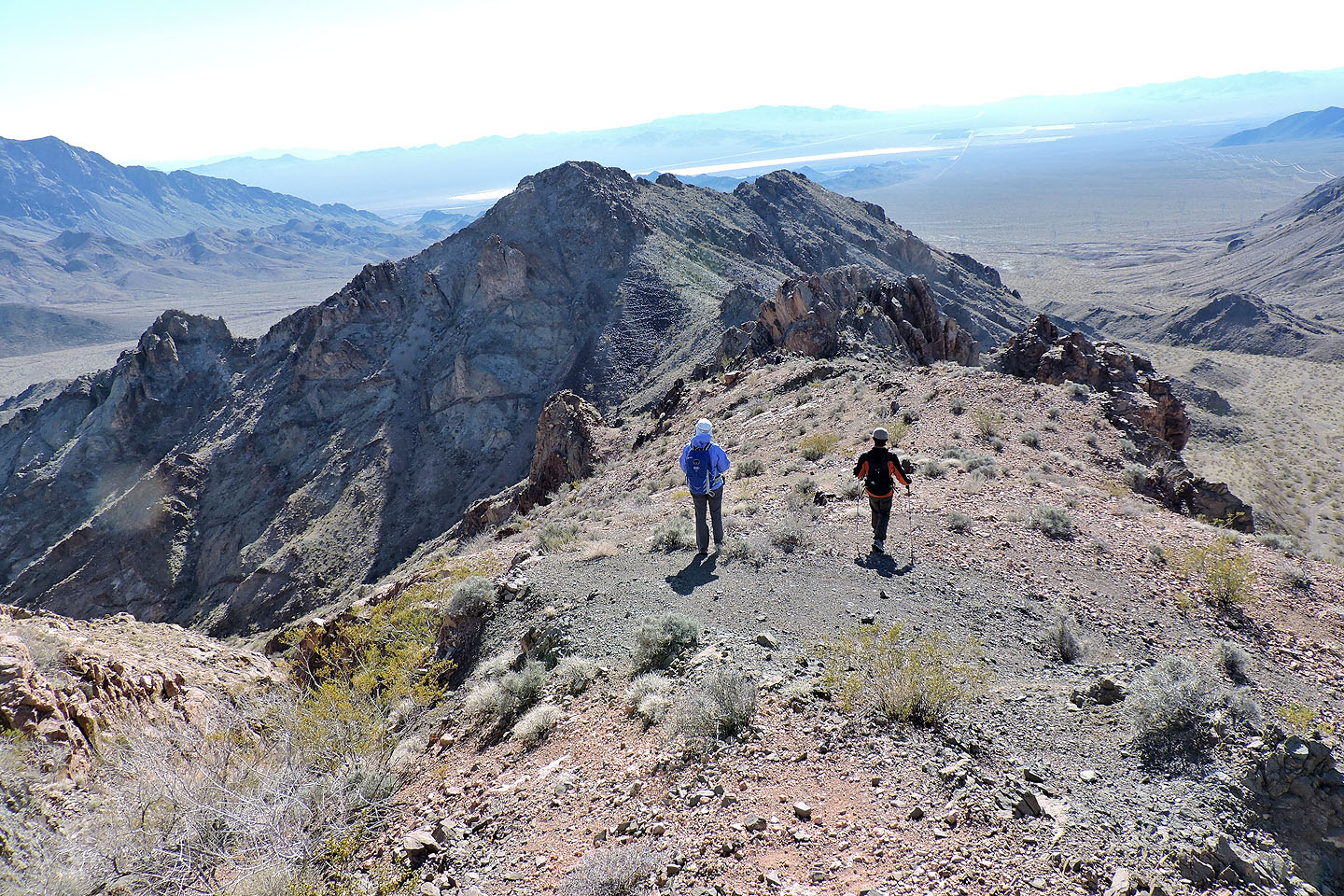
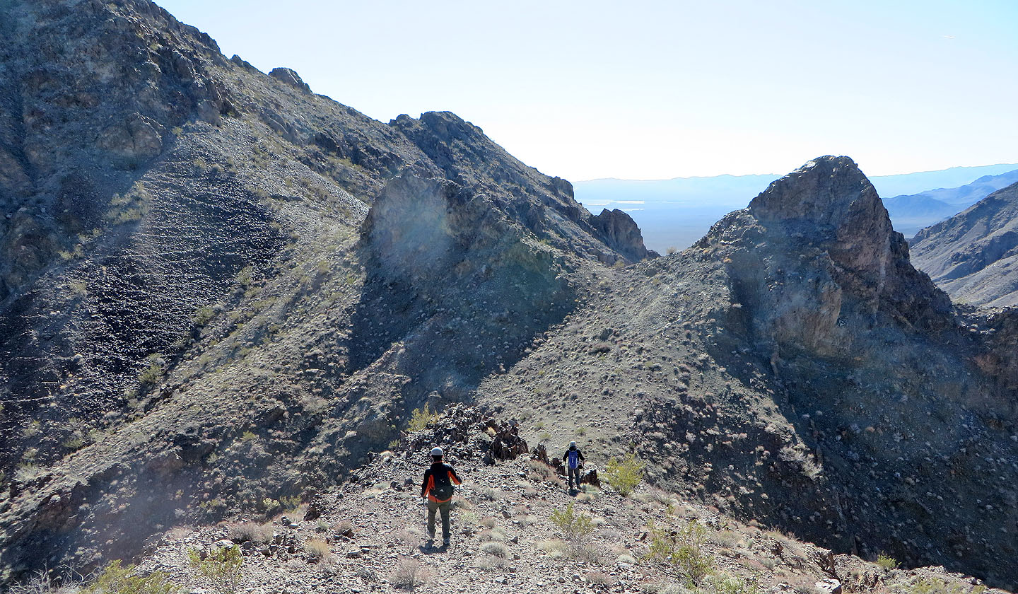
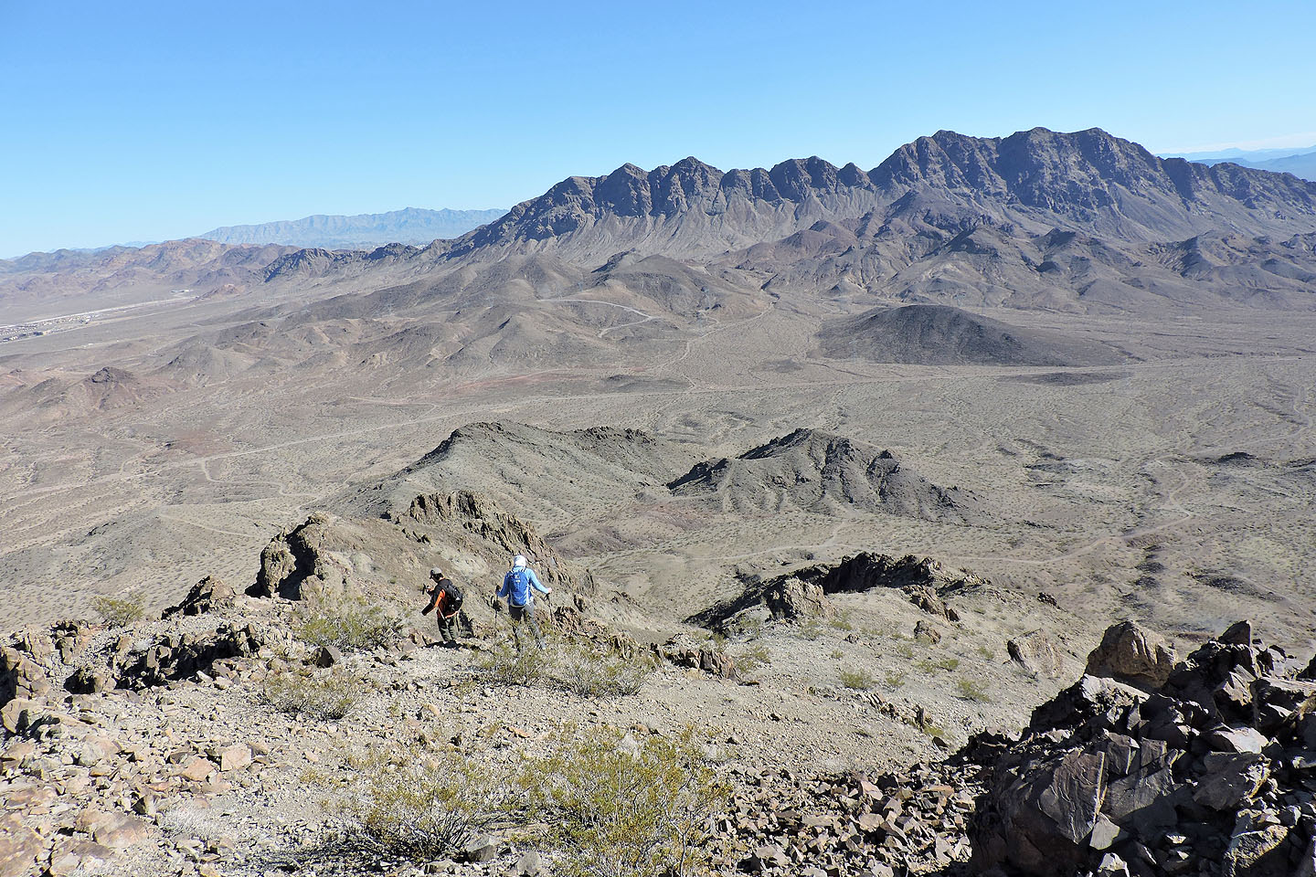
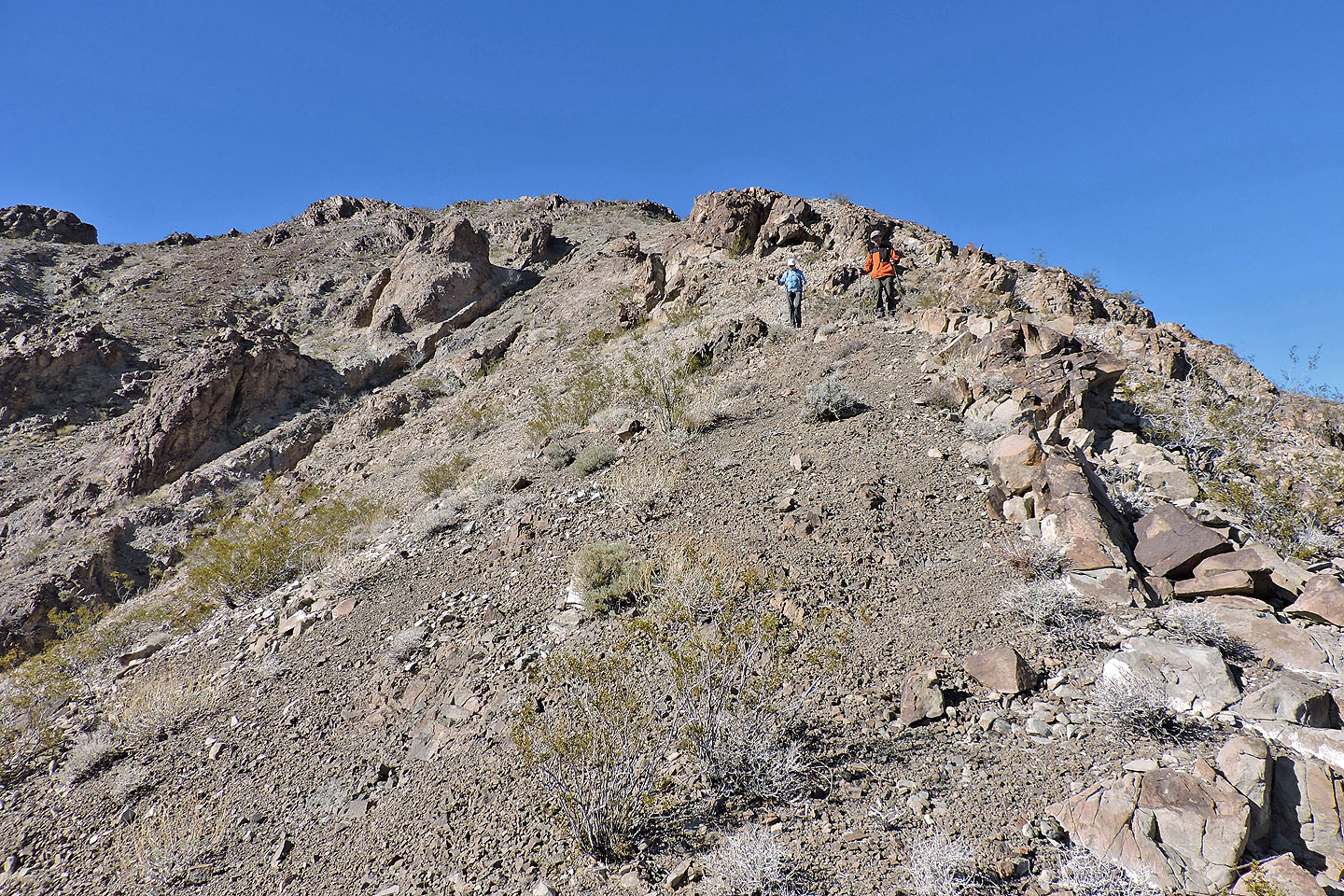
Heading to The Jack
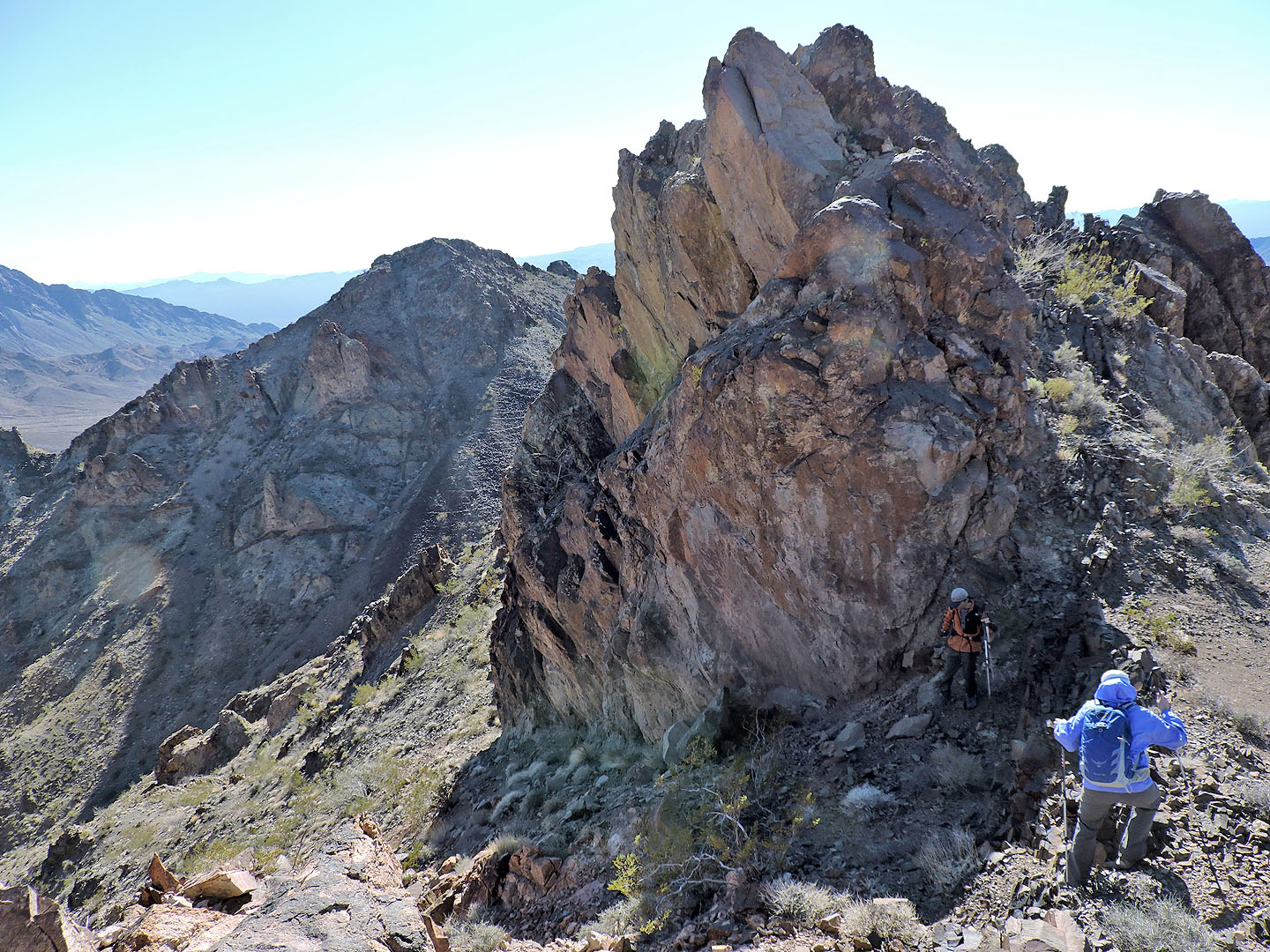
We went left of the first outcrop on the ridge
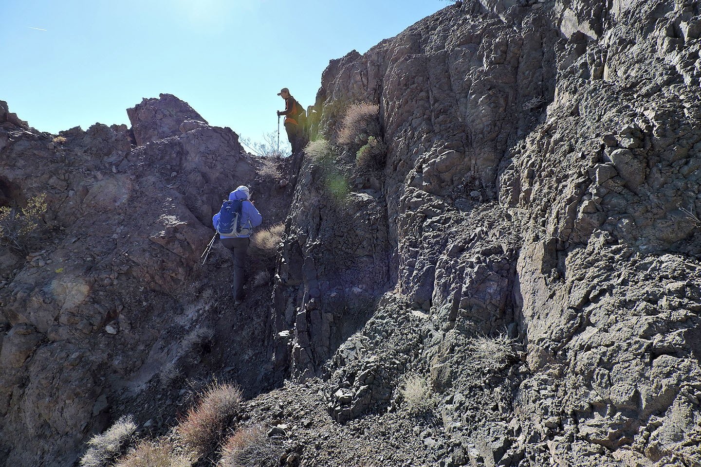
Around the next corner we regained the ridge at a notch
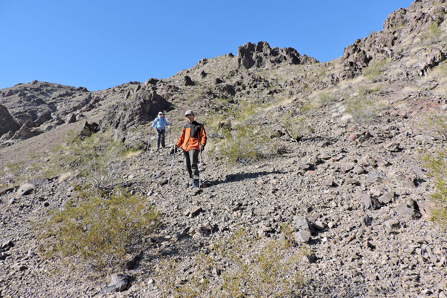
At the base of Jack, we went around the backside of the outcrop ahead
White Gold
Looking back at Queen
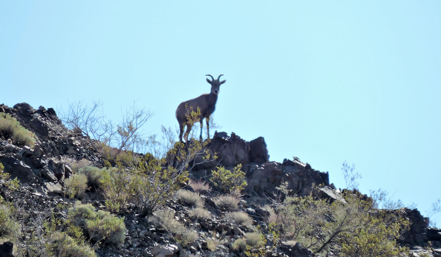
A bighorn sheep watched us for several minutes as we climbed
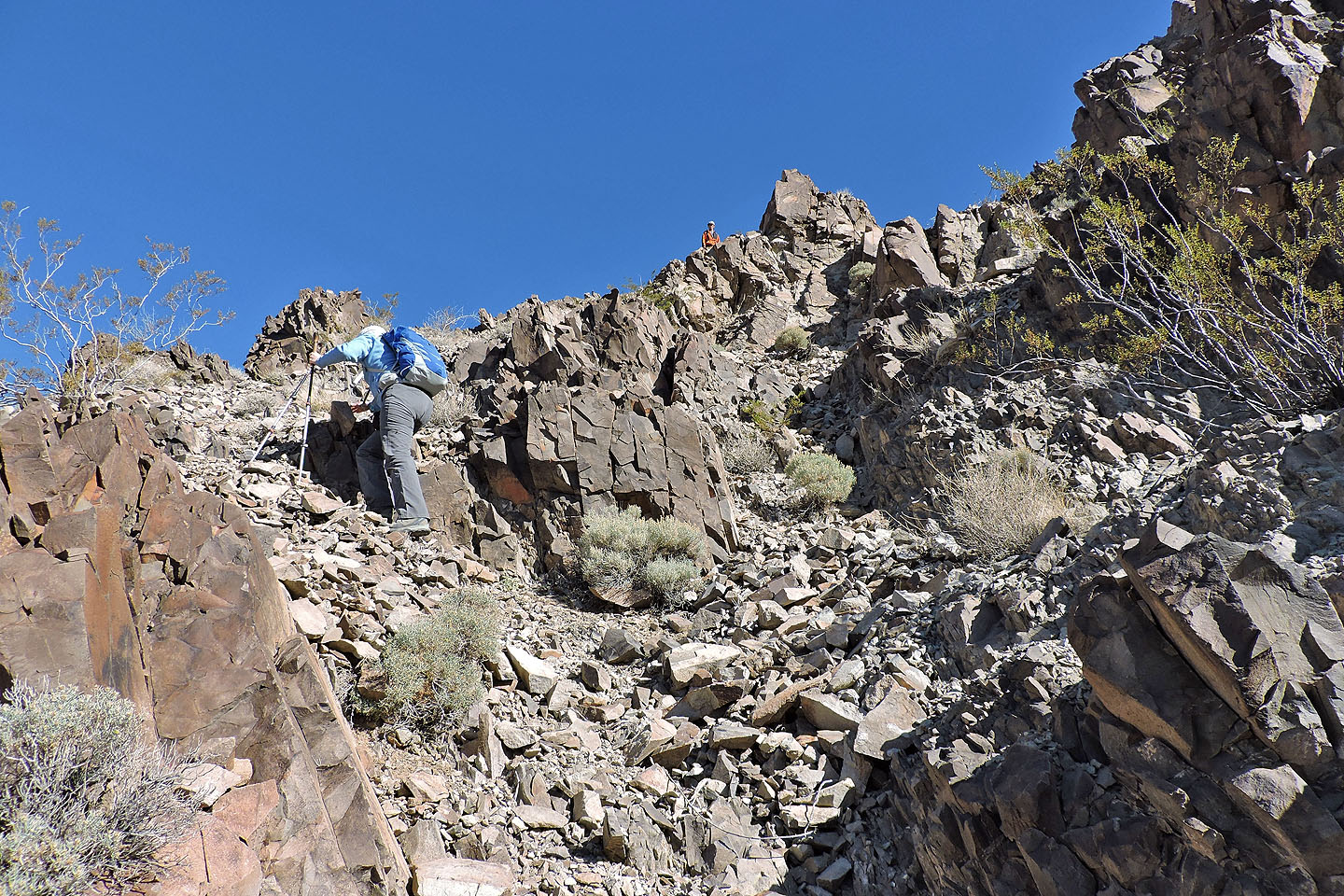
It's a steep climb on loose rock to the top
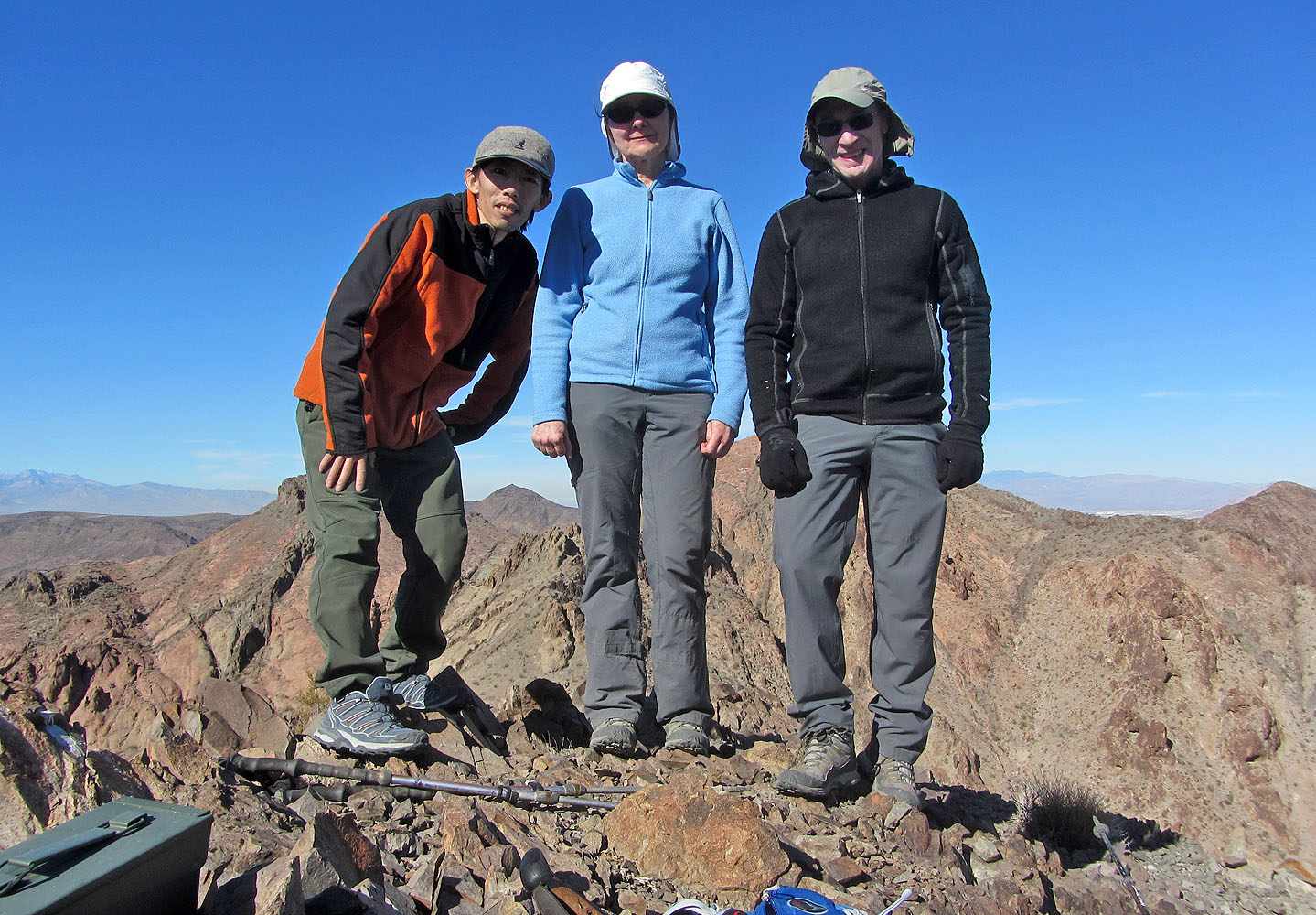 Posing on the summit of The Jack
Panorama from Jack
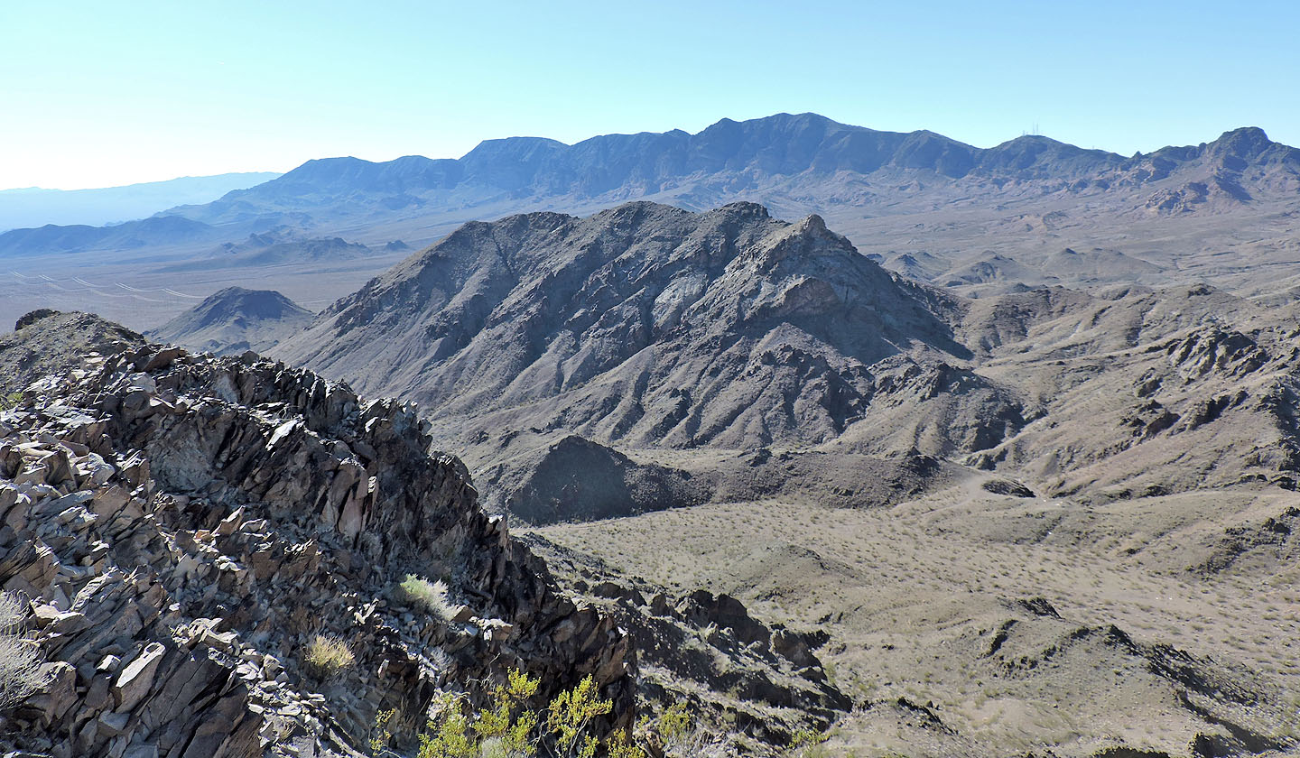
Nearby to the southwest is Quo Vadis Peak. On the skyline are Fracture Ridge and Black Mountain.
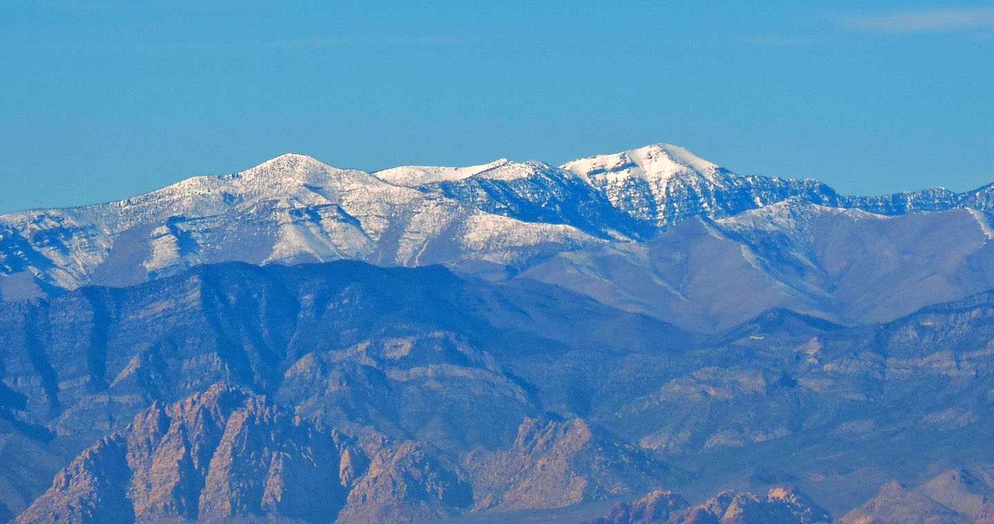 Mount Griffith and Mount Charleston are covered in snow
Starting down from the summit. In the background are Black Hill and Railroad Peak.
Looking back
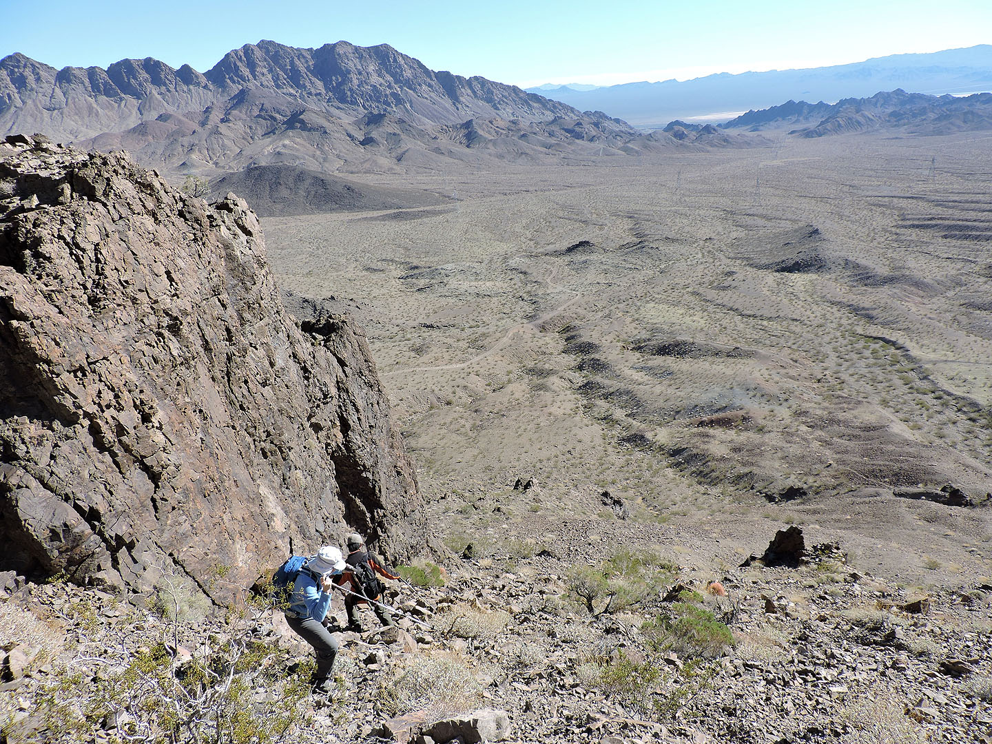
Closer to the bottom it became steeper
Almost at the bottom
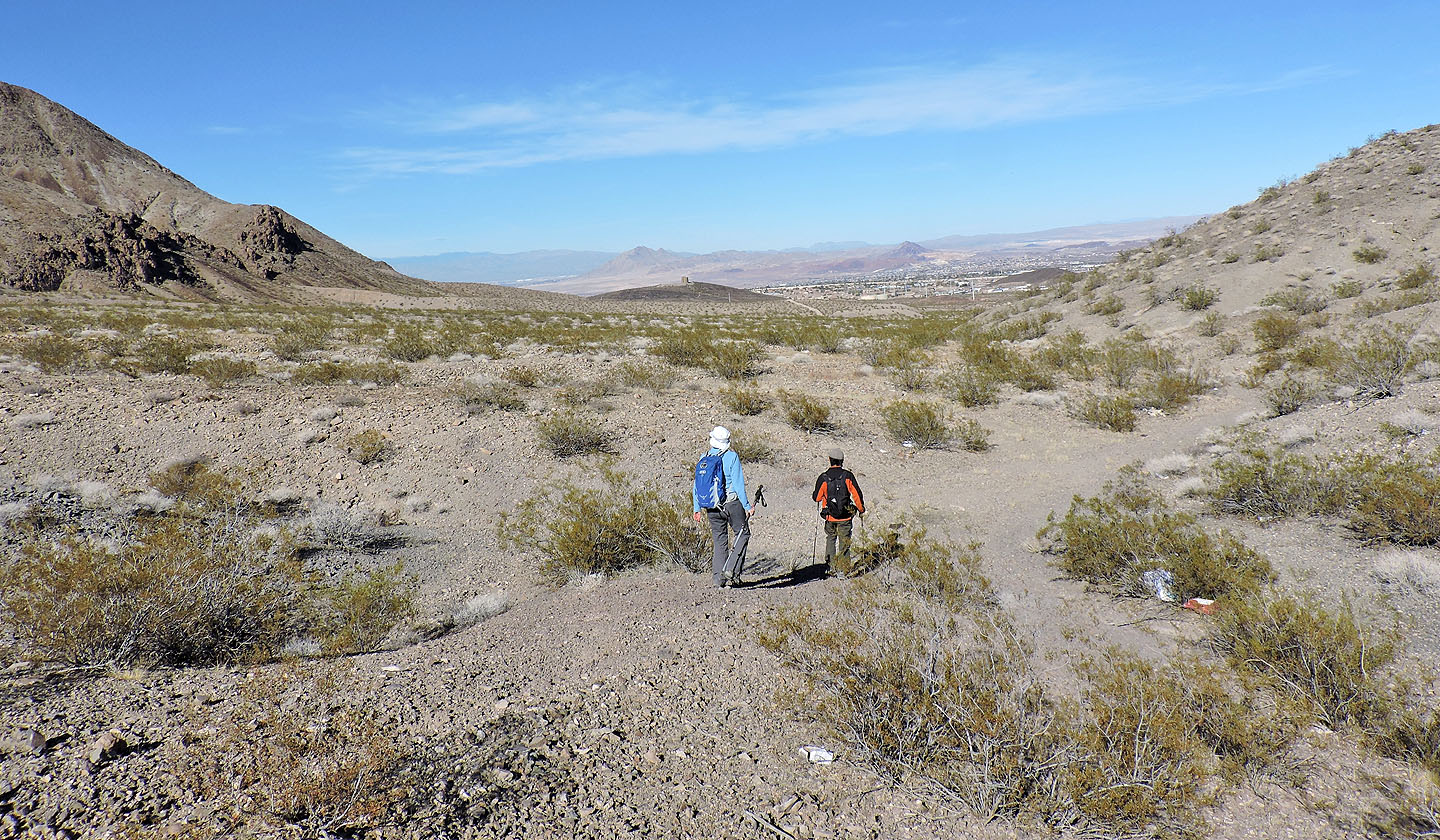
We made a beeline across the desert flats to the road
Boulder City (3.9 mi, 3629 ft, 984 ft)