bobspirko.ca | Home | Canada Trips | US Trips | Hiking | Snowshoeing | MAP | About
Juniper Peak
Red Rock Canyon NCA, Nevada
April 13, 2009
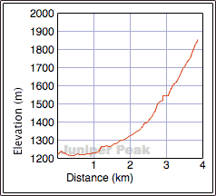
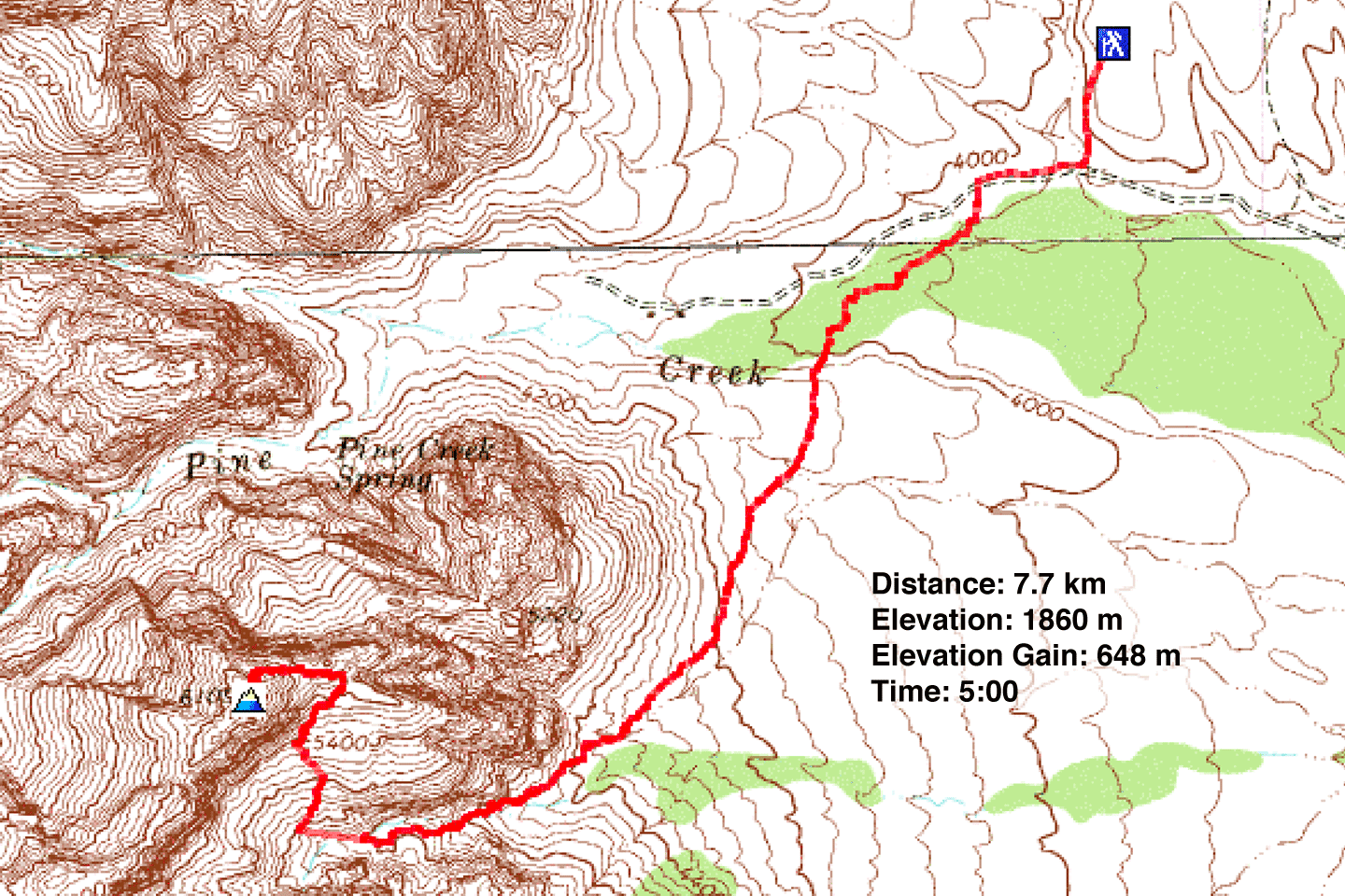
Distance: 7.7 km (4.8 mi)
Cumulative Elevation Gain: 662 m (2172 ft)
Juniper Peak is not among the highest peaks in Red Rock Canyon and only a class 2 climb, but it was the first desert peak Dinah and I ascended. We're used to climbing in the Canadian Rockies, so we found routefinding in a desert landscape a bit daunting. But the environment is fascinating, and we marvelled at the lizards and cacti as well as the unfamiliar geology. Credit goes to Jim Boone's website for helping me identify flora and fauna.
We tried climbing Juniper Peak the previous day, but since we didn't have a good route description, we missed the turnoff. When we reached a chimney (later we learned it was Gunsight Notch) that looked risky without helmets, we turned back.
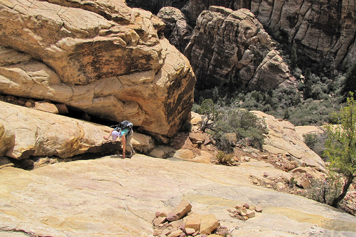
By our next attempt, we had sorted out where we went wrong. We reached Juniper Canyon from Pine Creek Trail. Keeping right we found the turn-off for Juniper Peak and ascended rock slabs. Here lizards scurried everywhere. So many, that I saw two collide!
We followed the cairns and trails to the summit with little difficulty. Occasionally we lost sight of the route, but by backtracking several metres we were always able to get on track.
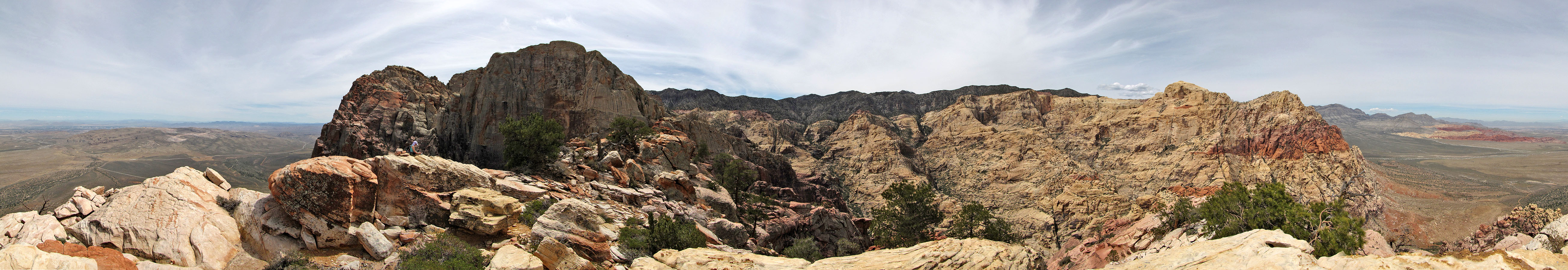
Even though Juniper Peak is dwarfed by nearby peaks, the view was superb. But of course, all of it was new and striking to us. Given how close this rugged, fascinating terrain is to Las Vegas, I can see why Red Rock Canyon is a popular area for climbing.
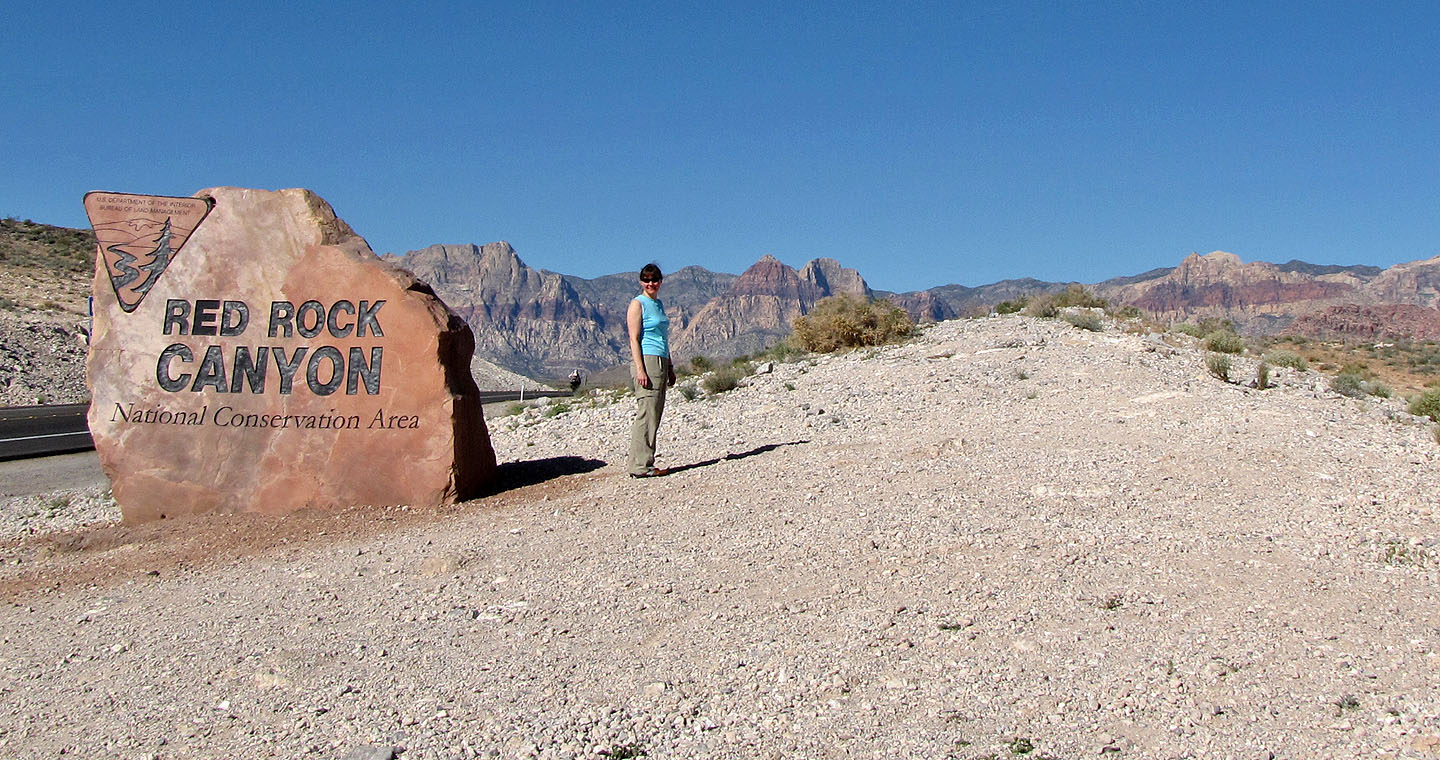
Juniper Peak is in Red Rock Canyon National Conservation Area
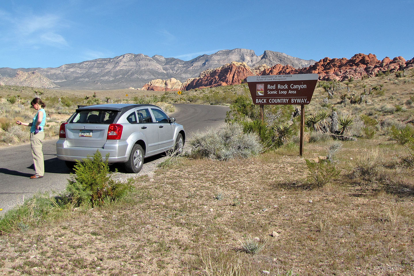
The mountain is accessed from the Red Rock Canyon Scenic Loop
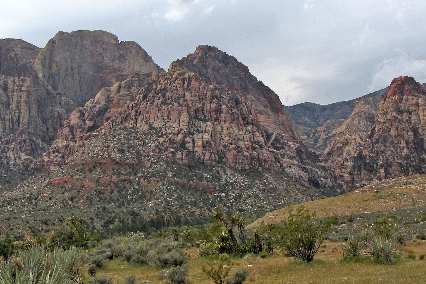
Juniper Peak seen from the trailhead: Rainbow Wall sits left while
Magic Mountain lies in front
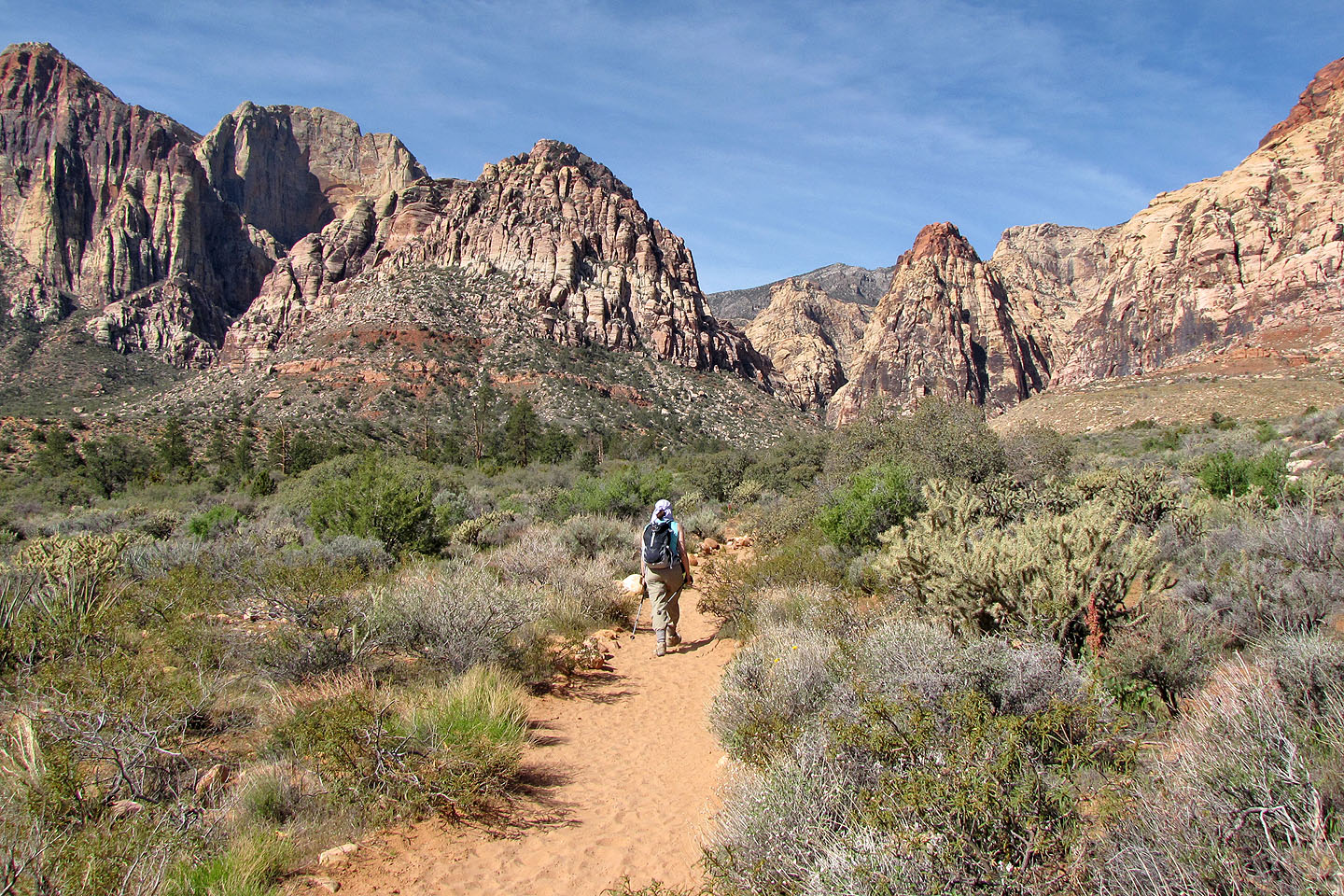
Hiking down Pine Creek Trail: Magic Mountain and Mescalito
ahead
Rainbow Peak, Rainbow Wall and Magic Mountain (Juniper Peak is hidden)
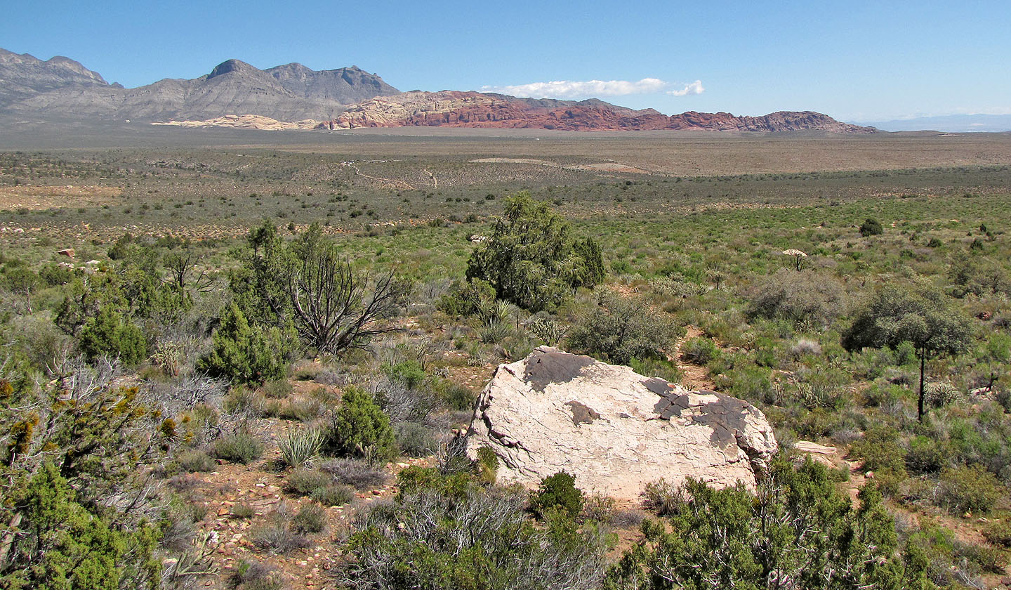
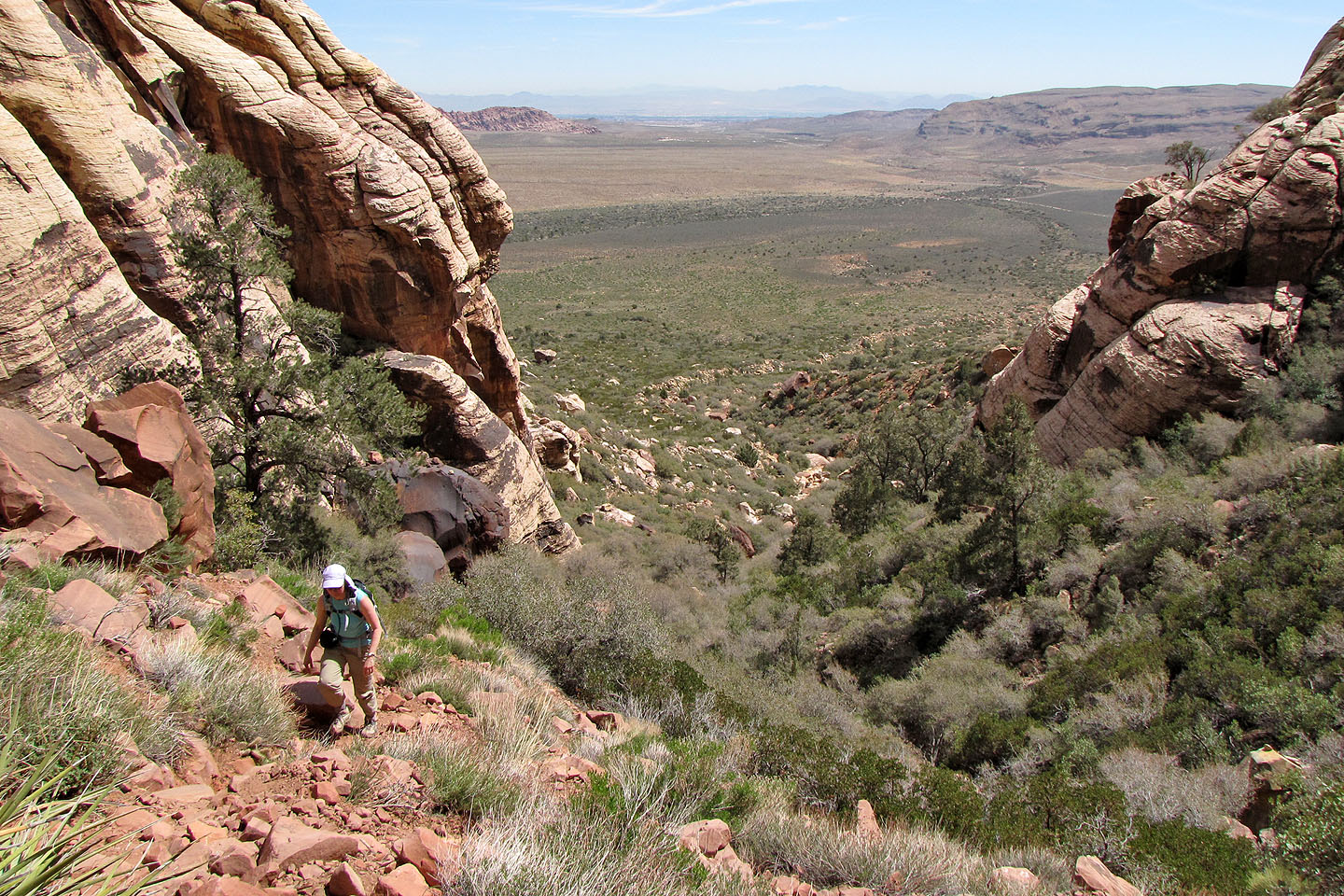
Looking back at Turtlehead Peak and the colourful Calico Hills
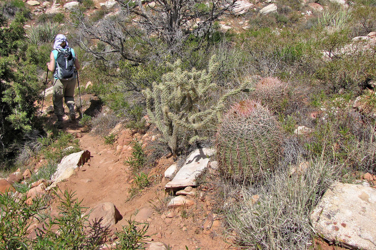
Cholla and barrel cacti
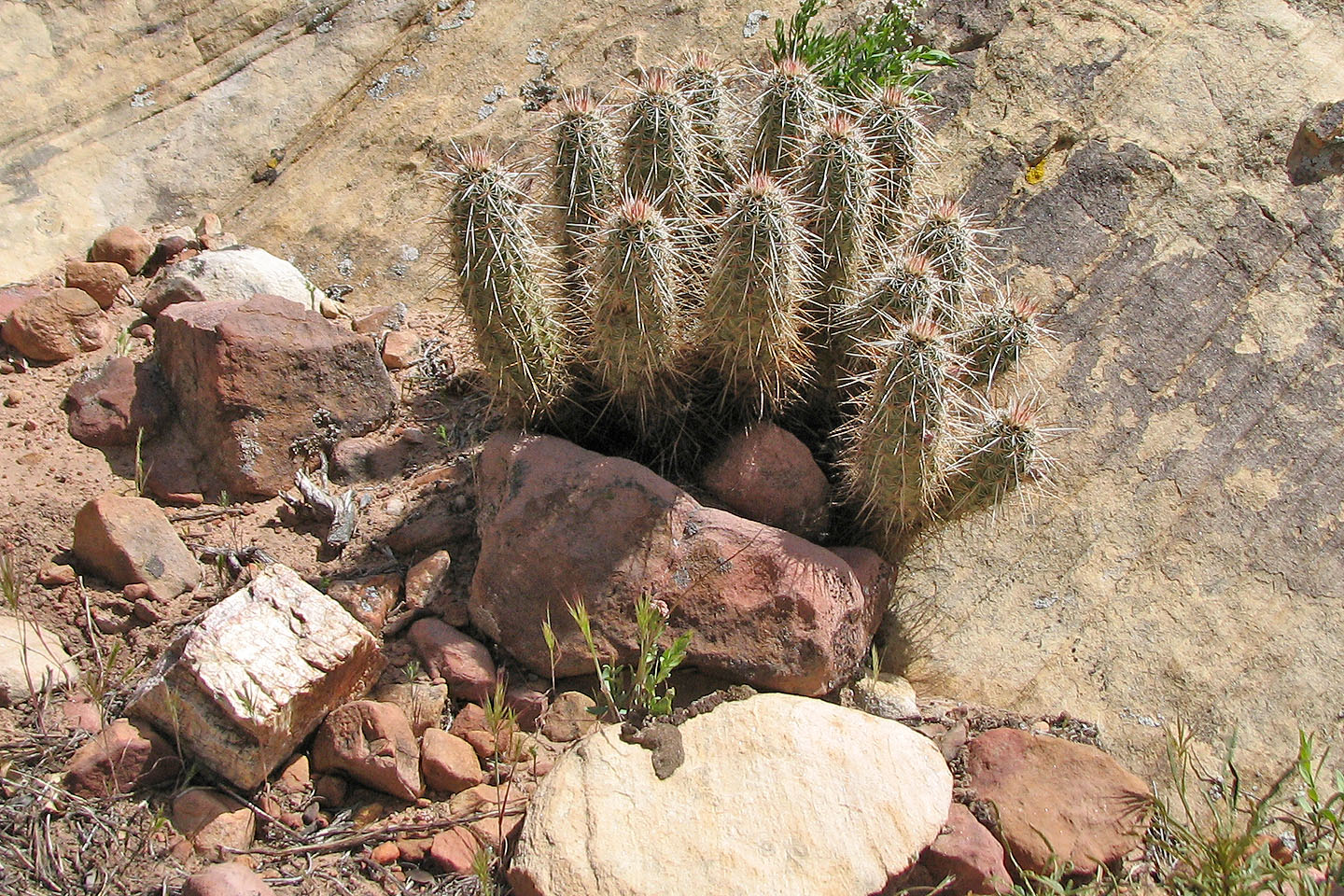
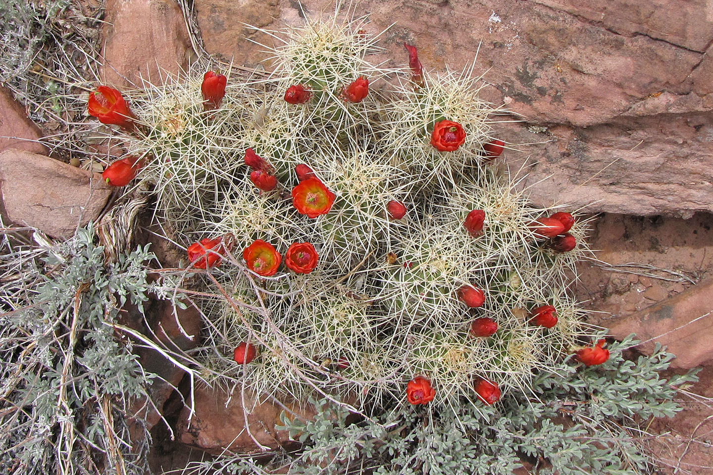
Hedgehog cactus
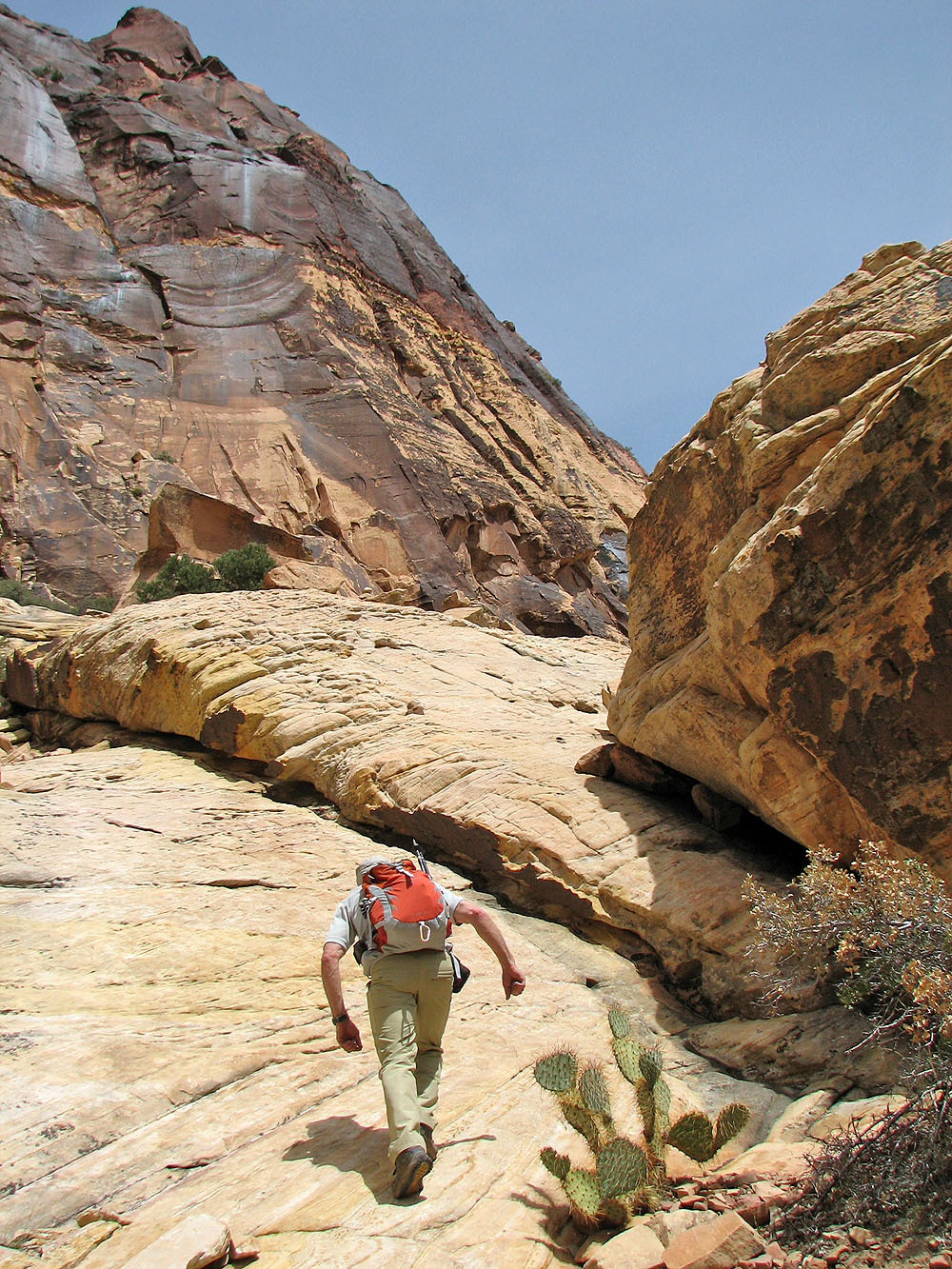
Approaching Pine Creek Canyon
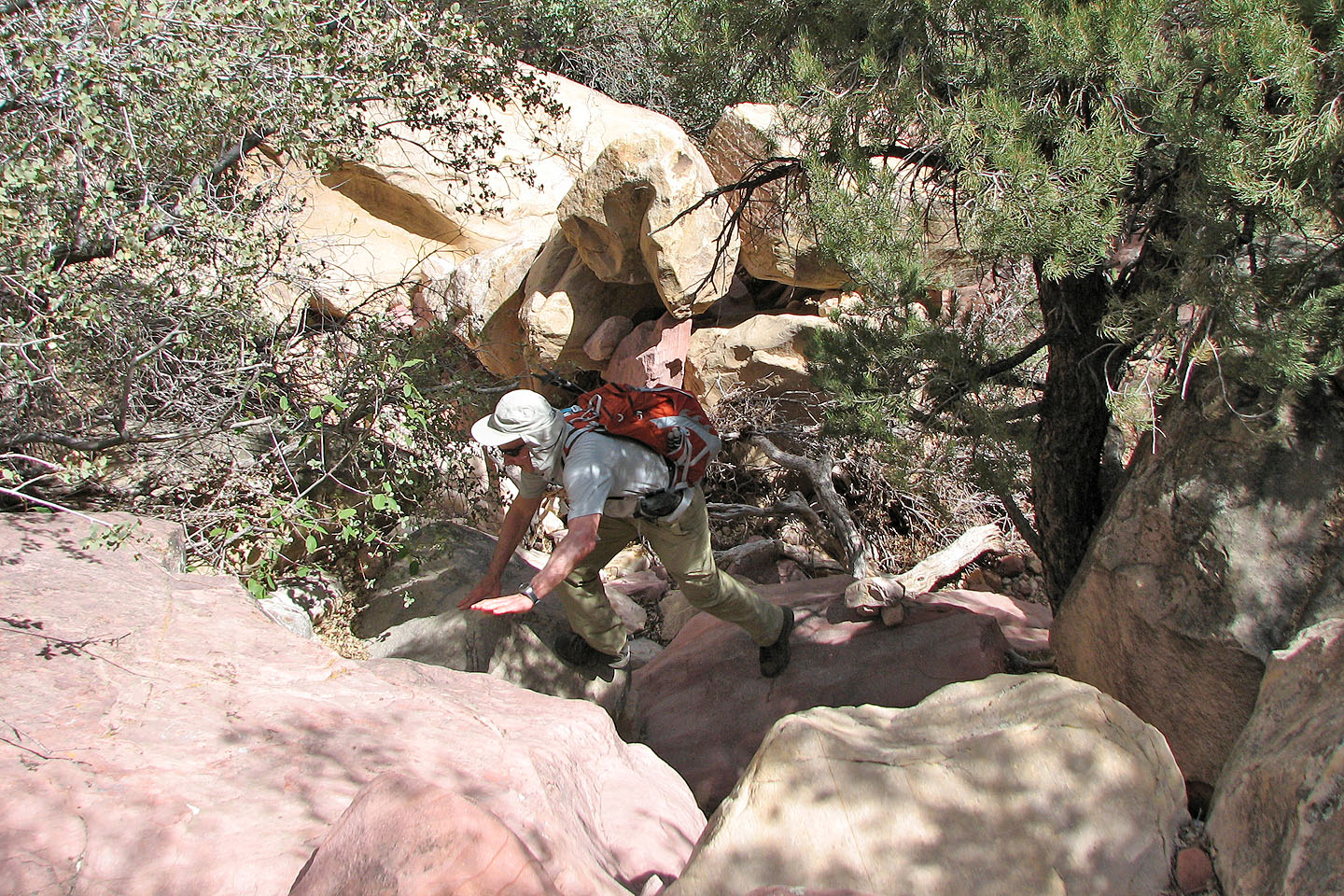
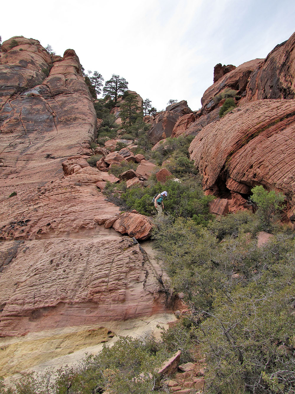
We clambered up some boulders
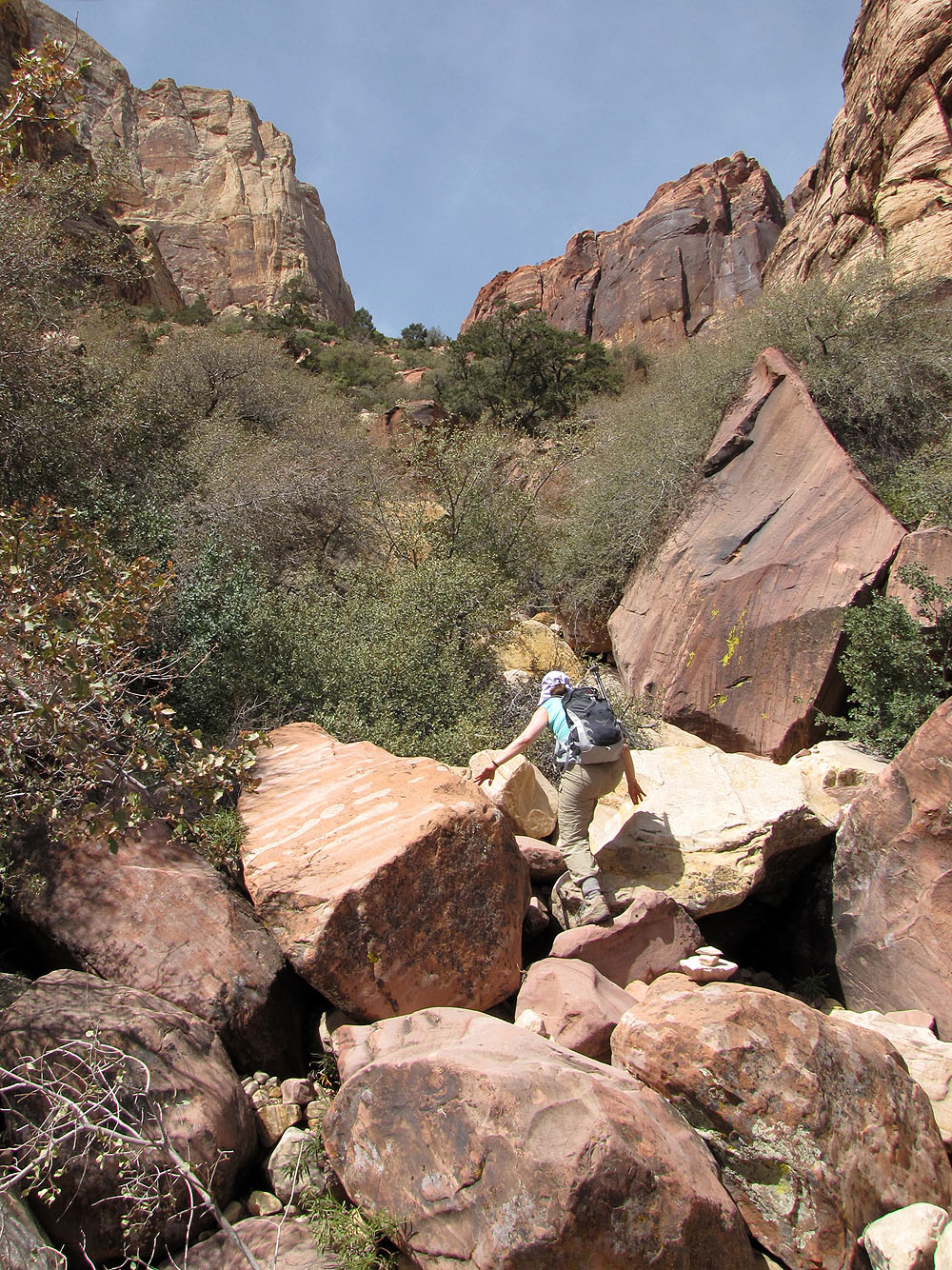
Past the boulders
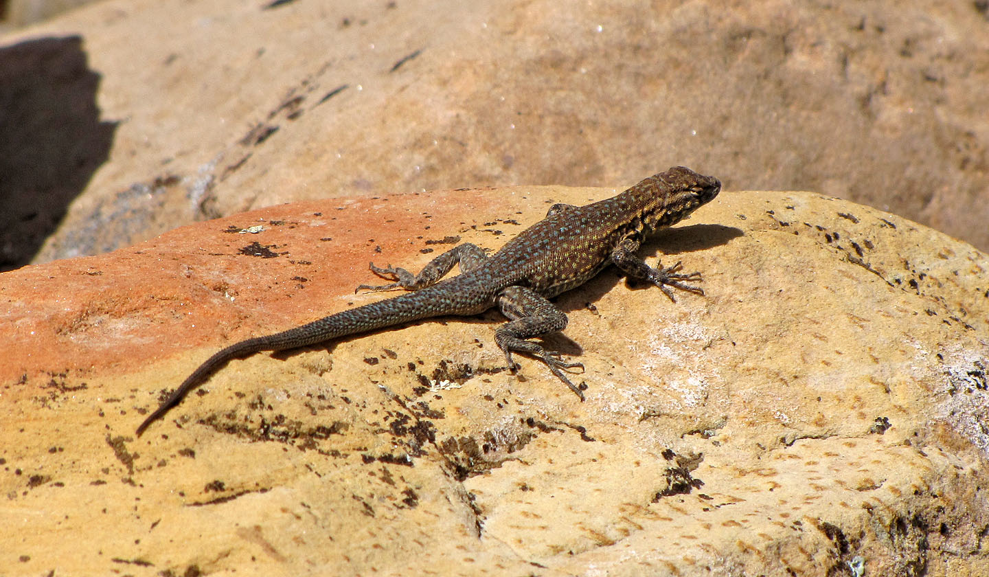
Small lizard
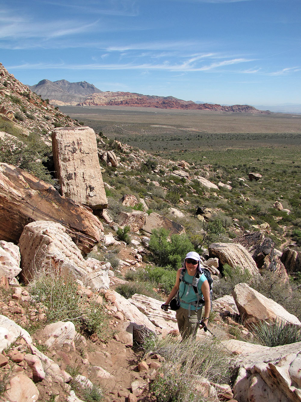
Looking back
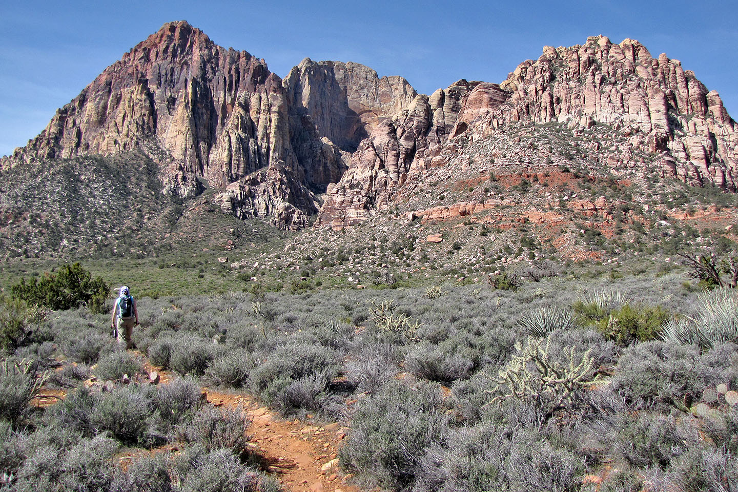
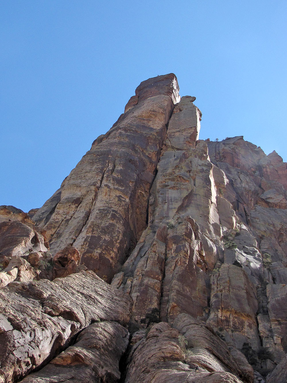
We'll gain the lower rock slabs on the right. Gunsight Notch left.
On the other side of the canyon we viewed climbers on Cloud Tower (mouse over for a close-up)
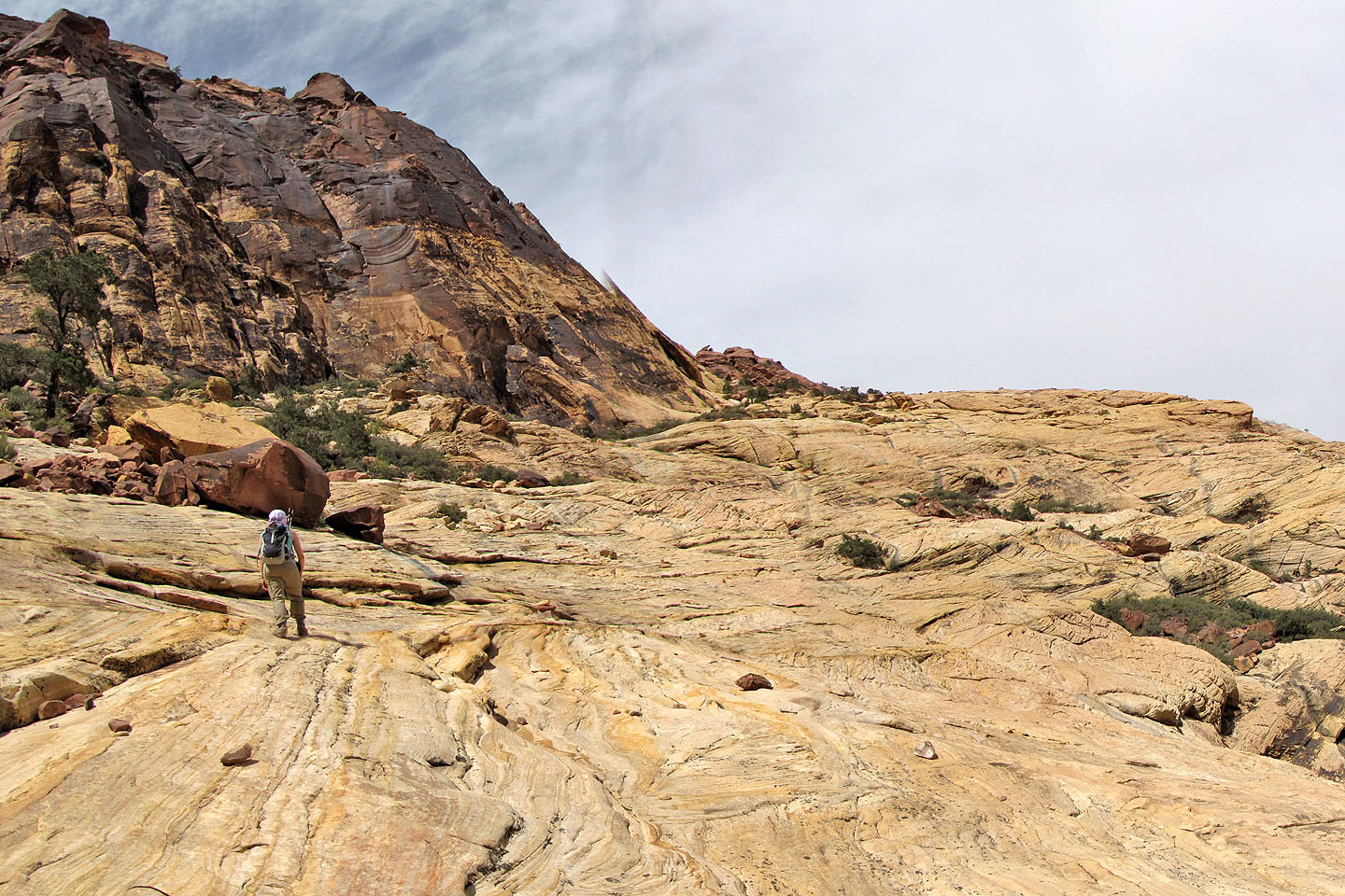
On the slabs above the canyon
Dinah makes her way up
Lots of pancake pricklypear cacti here
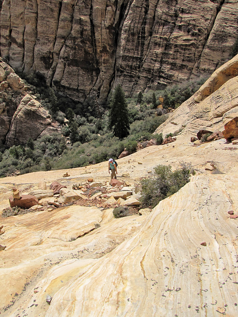
Juniper Canyon below
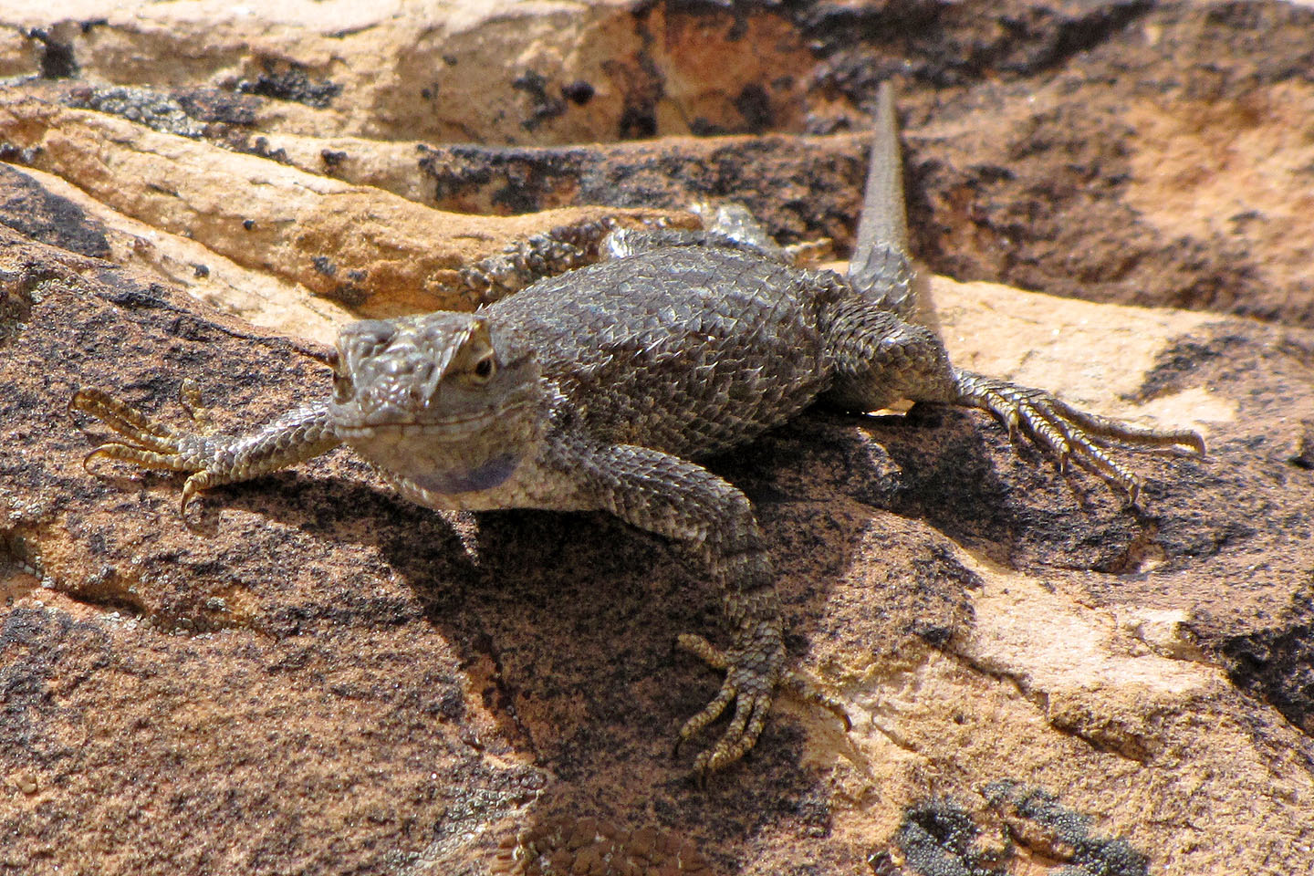
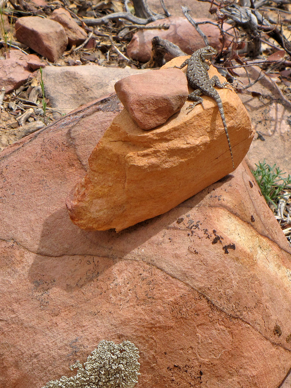
This lizard watched me intently
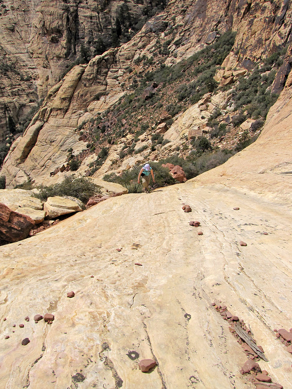
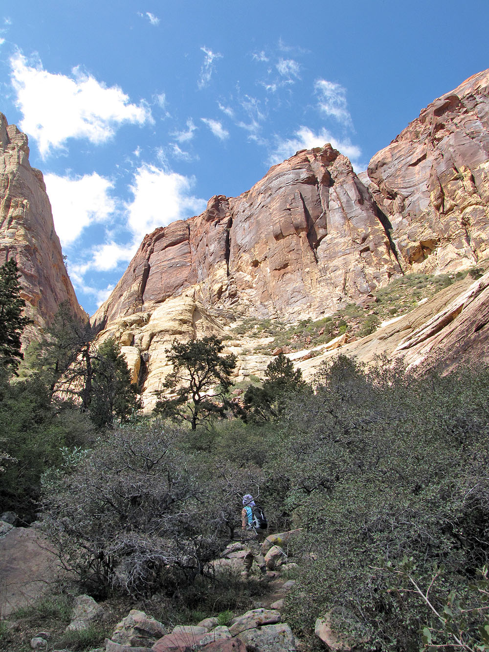
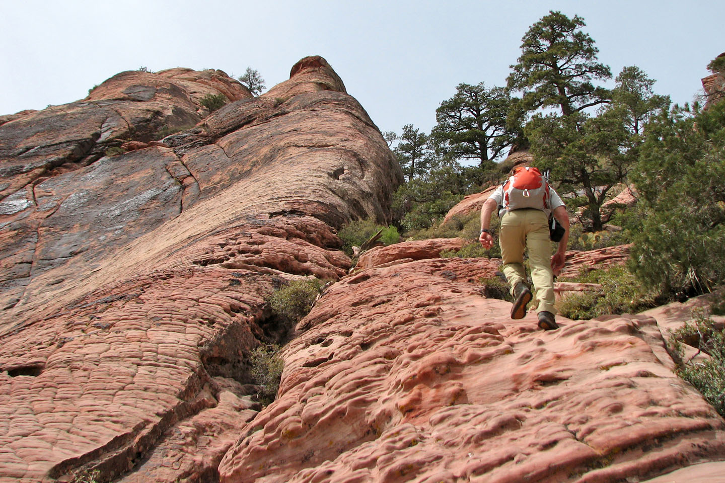
Walking up yet another smooth section of rock
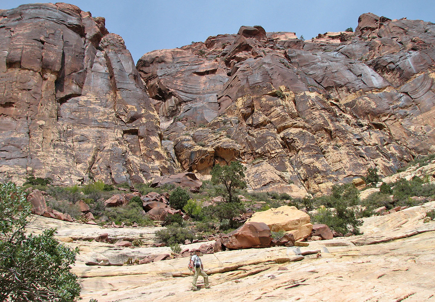
Rocks tower well above us
Cactus beginning to bloom
Interesting rock everywhere
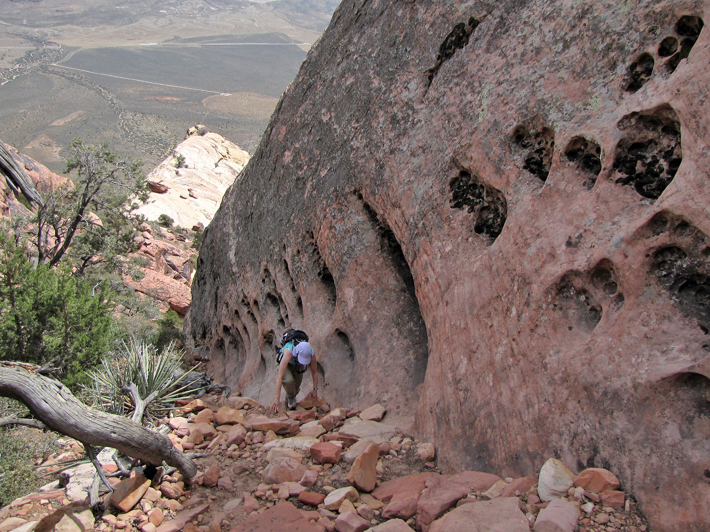
Following alongside a pitted rock face
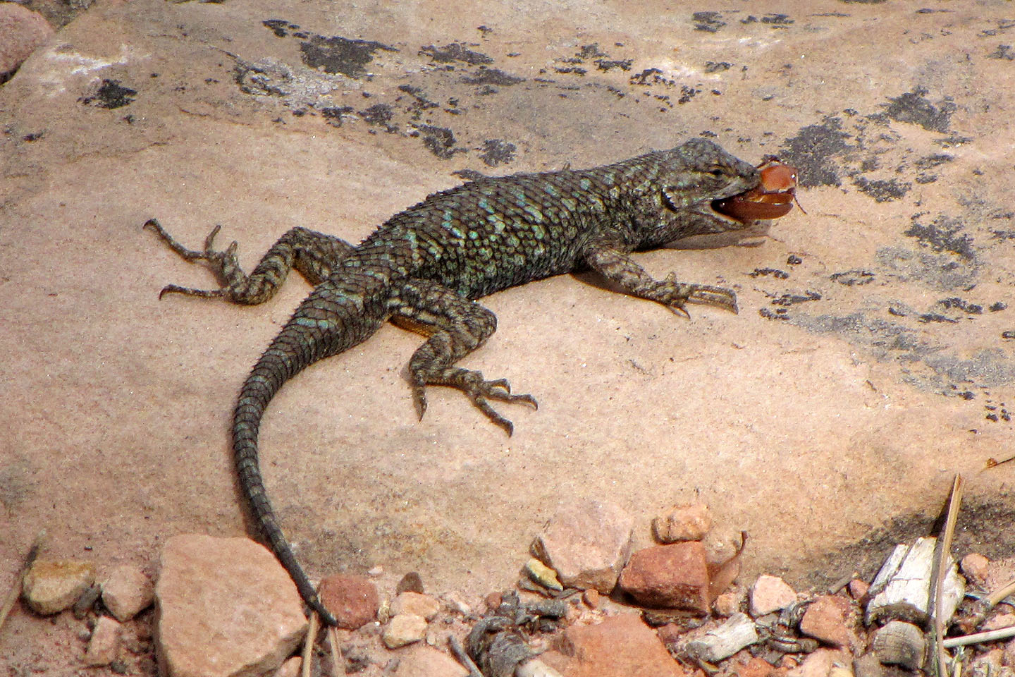
Ignoring good manners, this lizard ate his food in one gulp (mouse over)
Paths and cairns like this one make routefinding easy
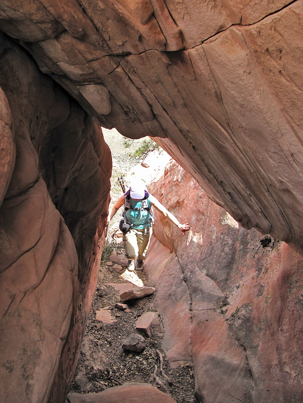
Just before the summit, the route goes through a tunnel
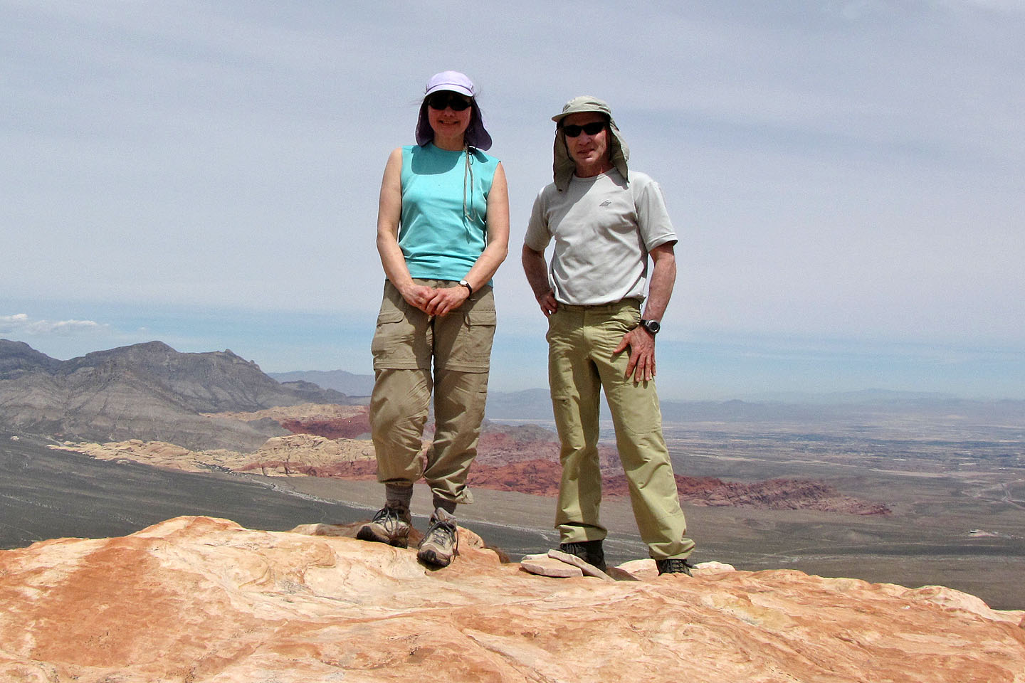
On the summit
Heading back down
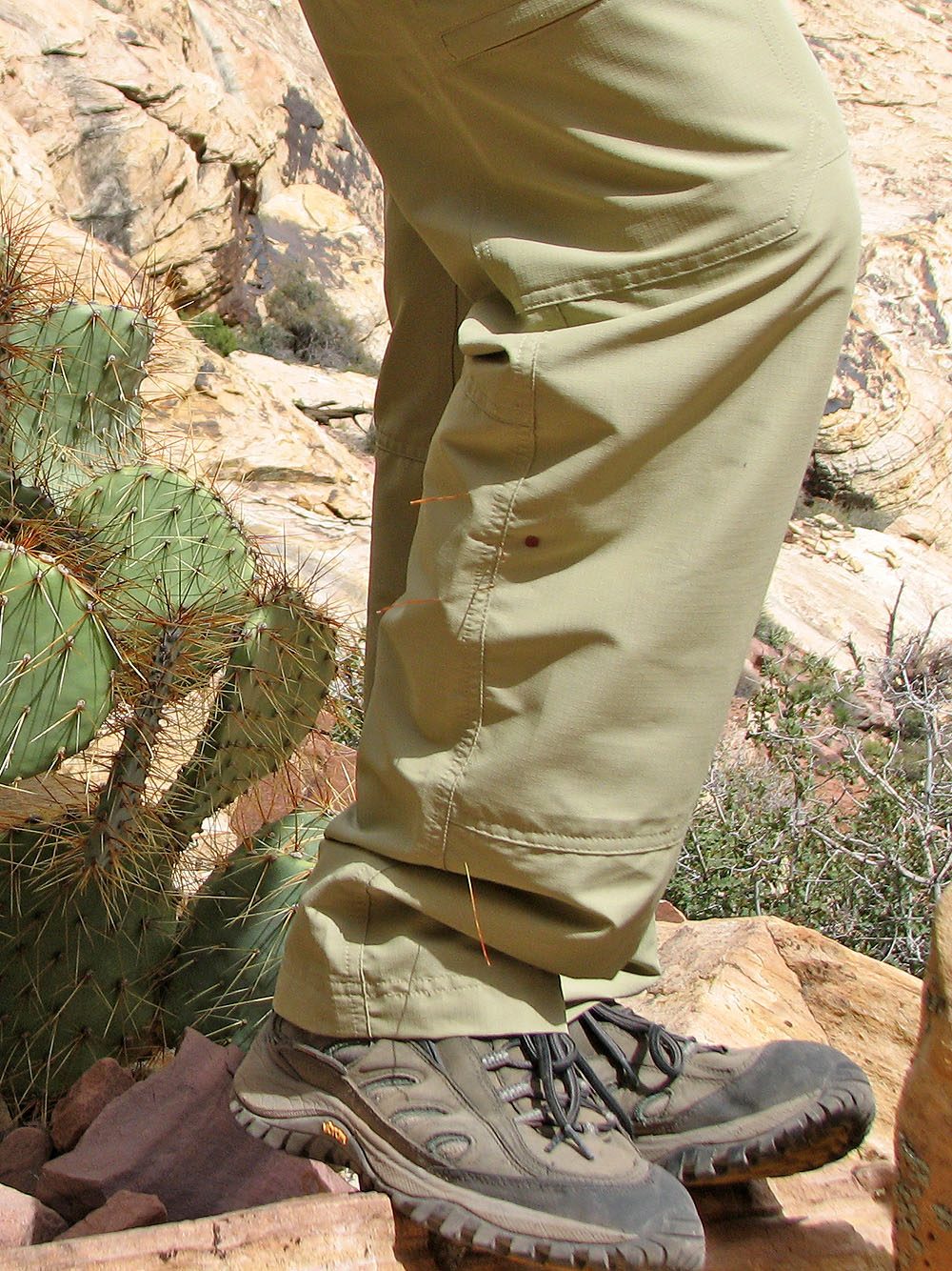
Contact with a cactus leaves a spot of blood on my pant leg
La Madre Mountain, Blue Diamond (4.8 mi, 6102 ft, 2126 ft)