bobspirko.ca | Home | Canada Trips | US Trips | Hiking | Snowshoeing | MAP | About

Calico Tank Peak
Red Rock Canyon NCA, Nevada
October 29, 2009
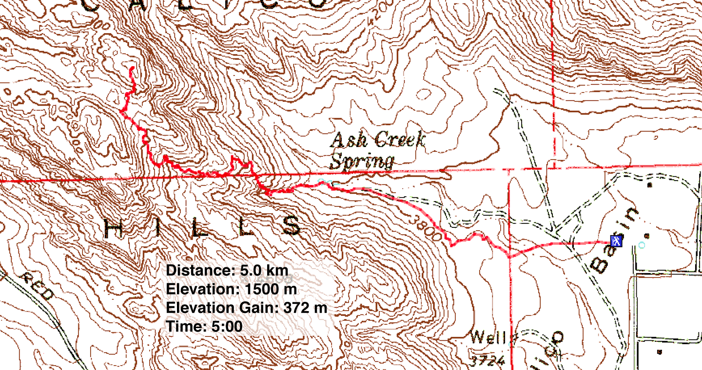
Distance: 5.0 km (3.1 mi)
Cumulative Elevation Gain: 450 m (1476 ft)
Dinah and I expected to knock off Calico Tank Peak in short order, but the trip was fraught with intense routefinding beyond anything we've encountered before. This peak is located in the incredibly complex Calico Hills. Deep canyons and towering boulders make it impossible to see your way up any route. We stopped often to explore possibilities. Sometimes we had to backtrack. And rarely did the scrambling let up.
We followed the descent route taken from Harlan Stockman's website with little trip description but a good route map. A shorter, easier route can be taken from Sandstone Quarry, but our route from Calico Basin avoided the crowds.
After a meandering start, we were fortunate to find a cairn. Continuing in the general direction of the summit, we searched for more cairns, but they were hard to find or absent.
After climbing for 2.5 hours we reached a saddle where we met a group that started from Sandstone Quarry just 35 minutes earlier! They turned back while we scanned the white cliffs for a way up to the summit. After much searching and a class 3 climb, we reached the top of Calico Tank Peak.
Despite the challenges, we enjoyed the trip. Most of the rock is solid for scrambling and the views from the summit are better than expected for a little peak. But I don't recommend trying this route without instructions!
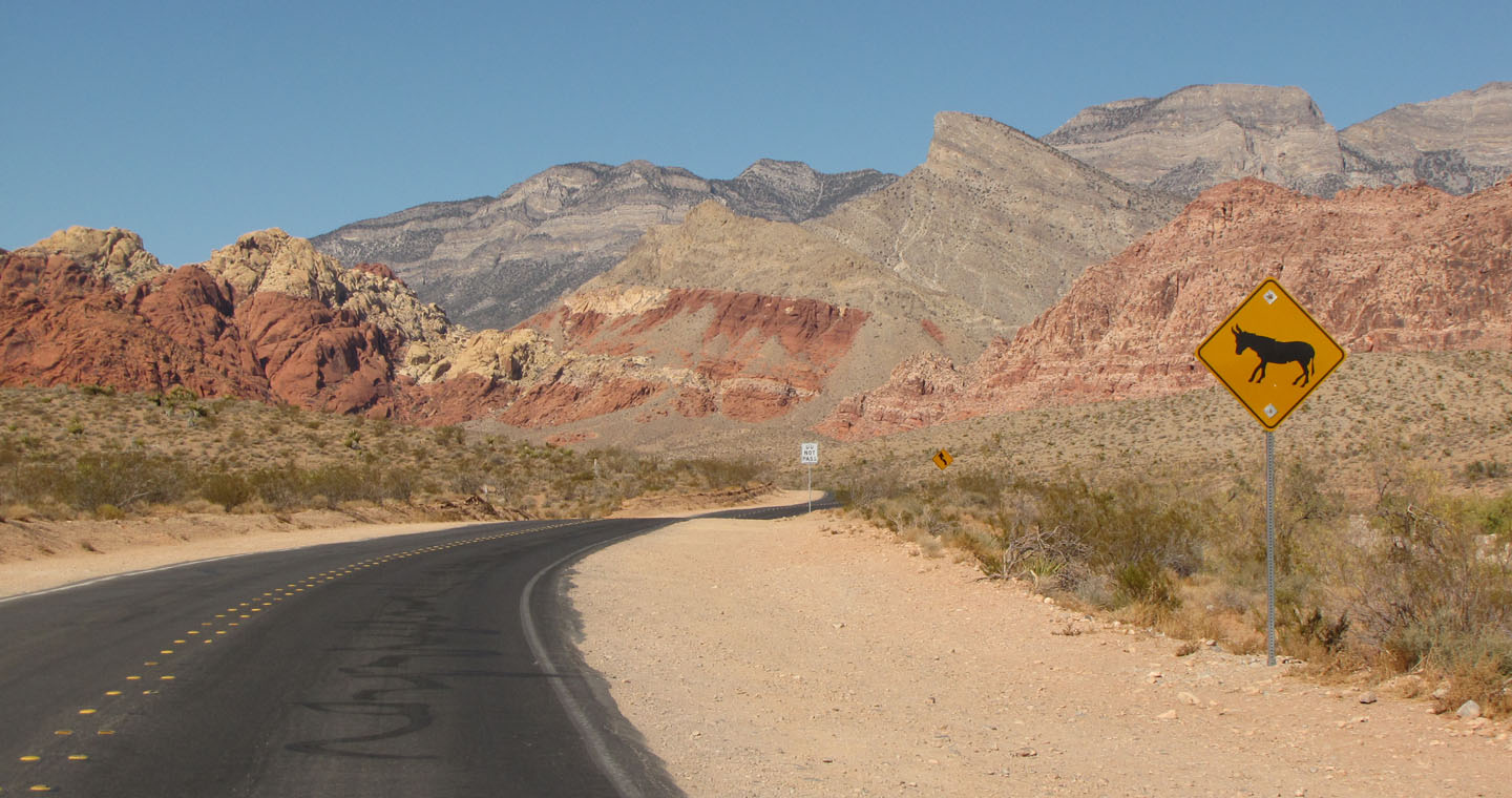
Driving into Calico Basin we hoped to see wild burros but have no luck
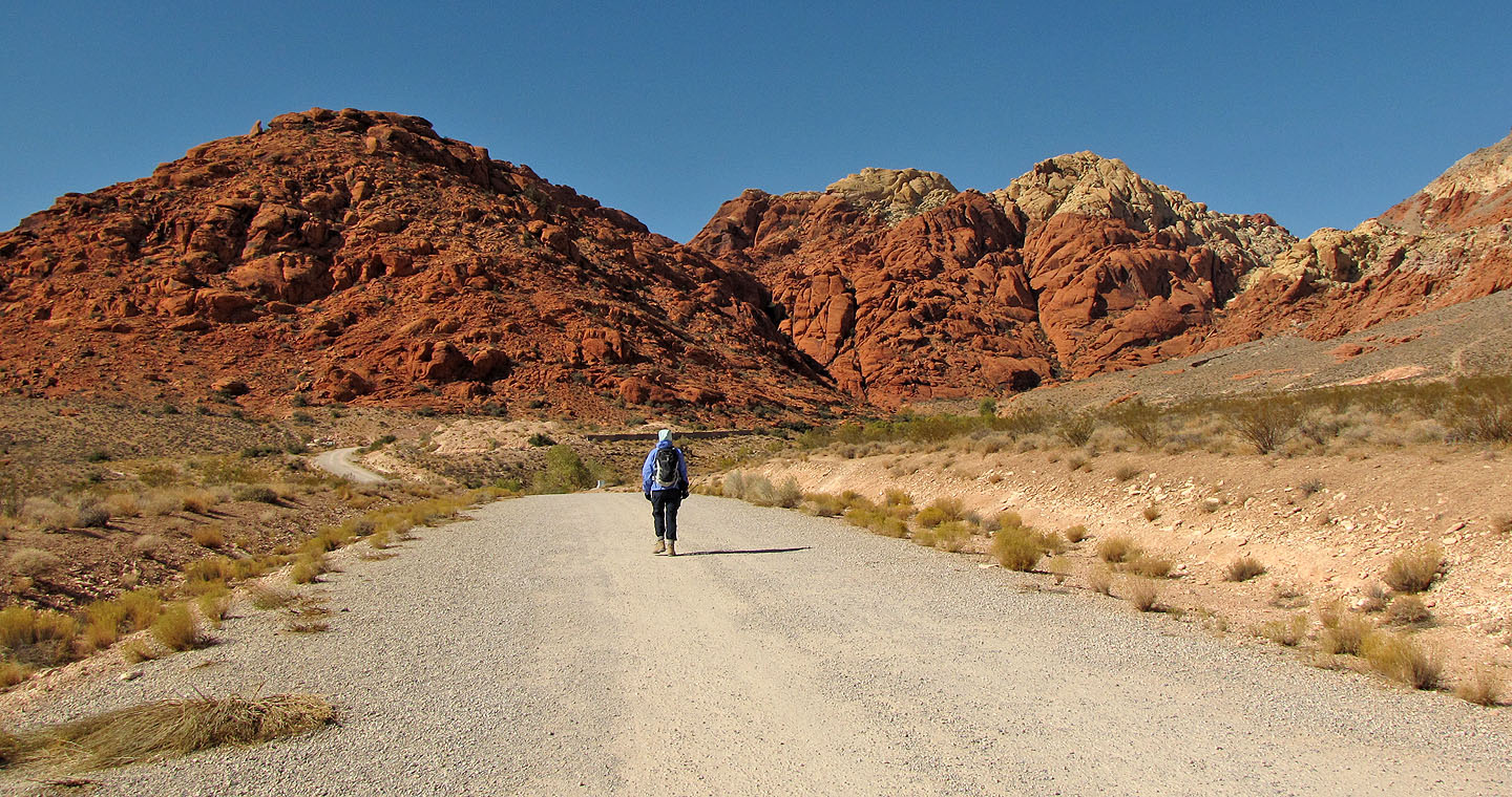
Ahead are Foundation Peak, Calico Tank Peak and New Peak
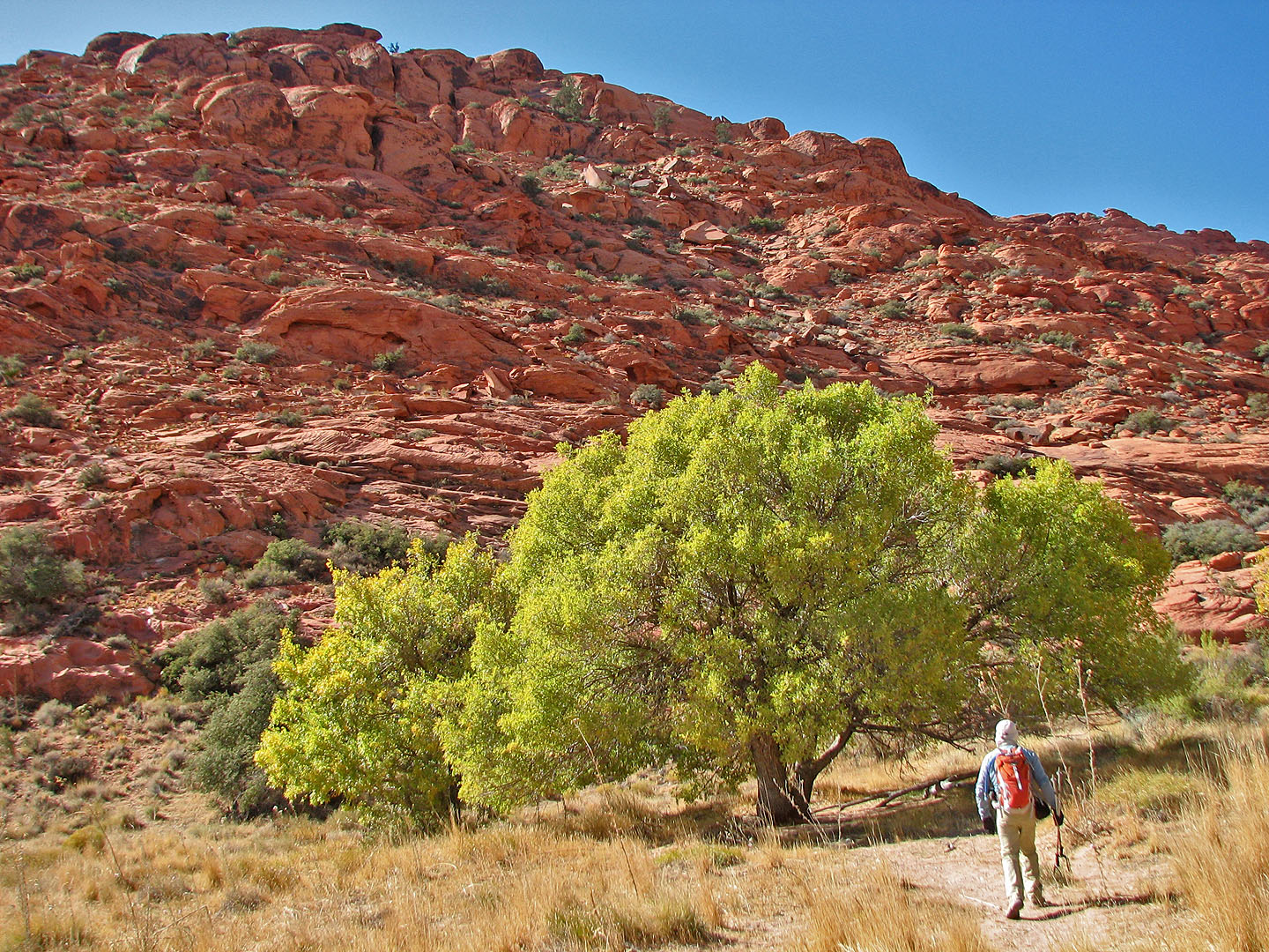
The trail passes a luxuriant tree
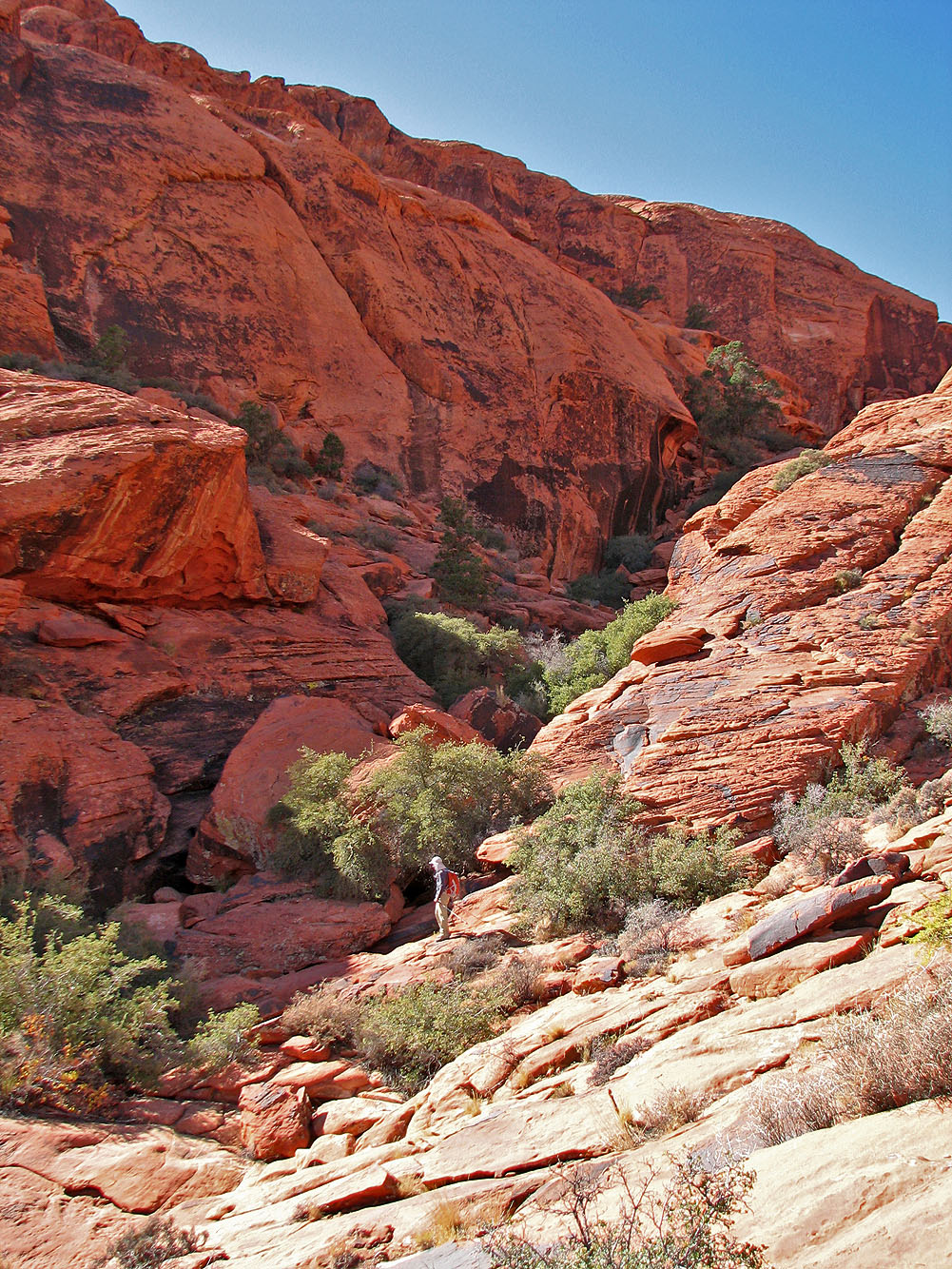
Unsure of which way to go, we went right (unseen) but descended from this canyon
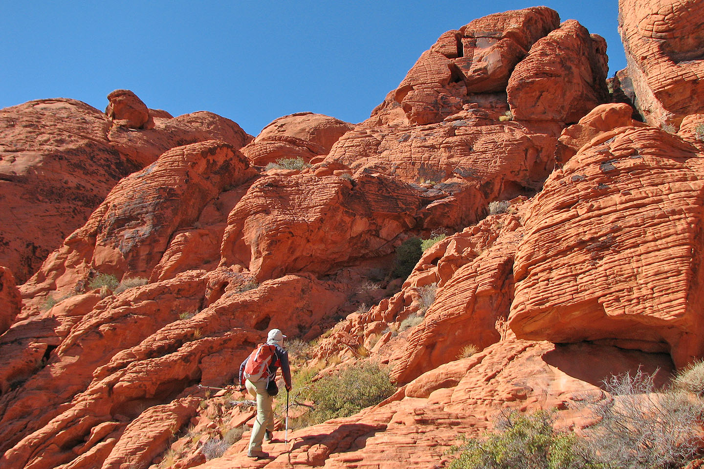
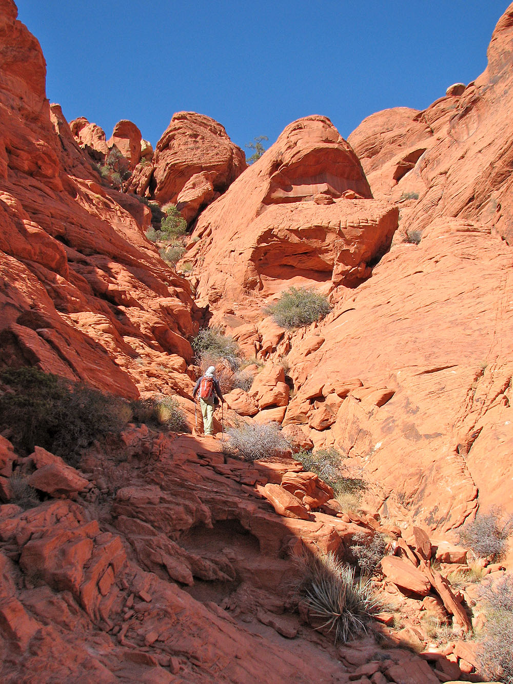
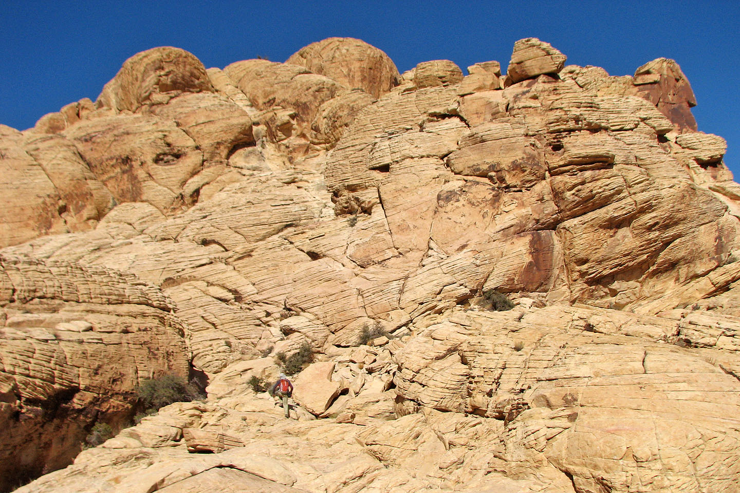
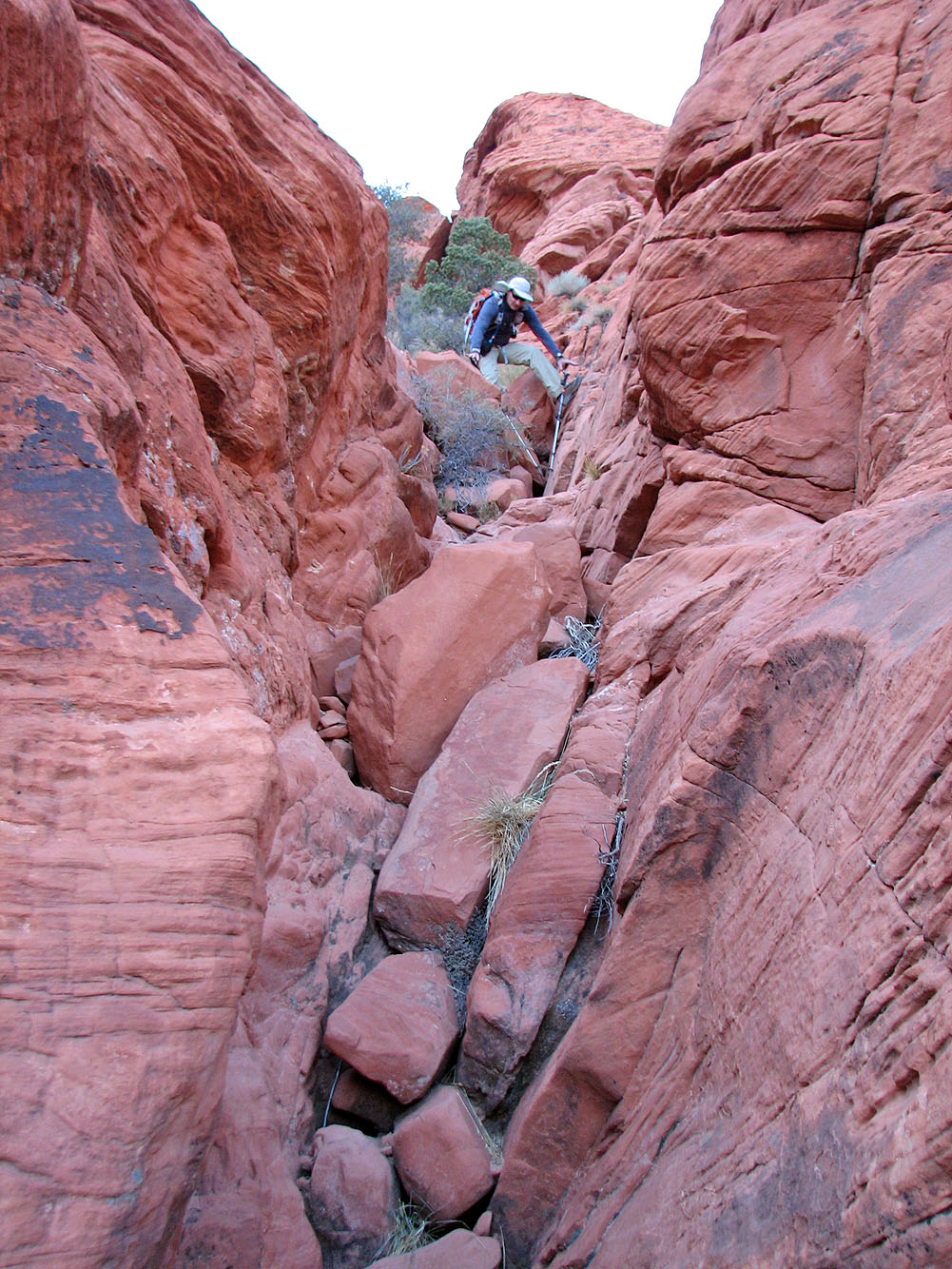
There are many route possibilities but we went through the narrow gap (upper right)
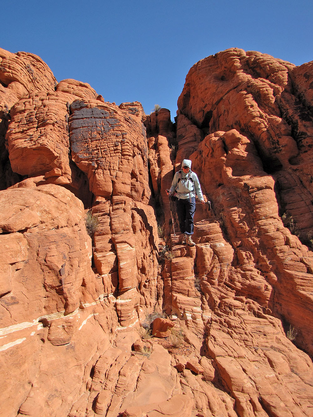
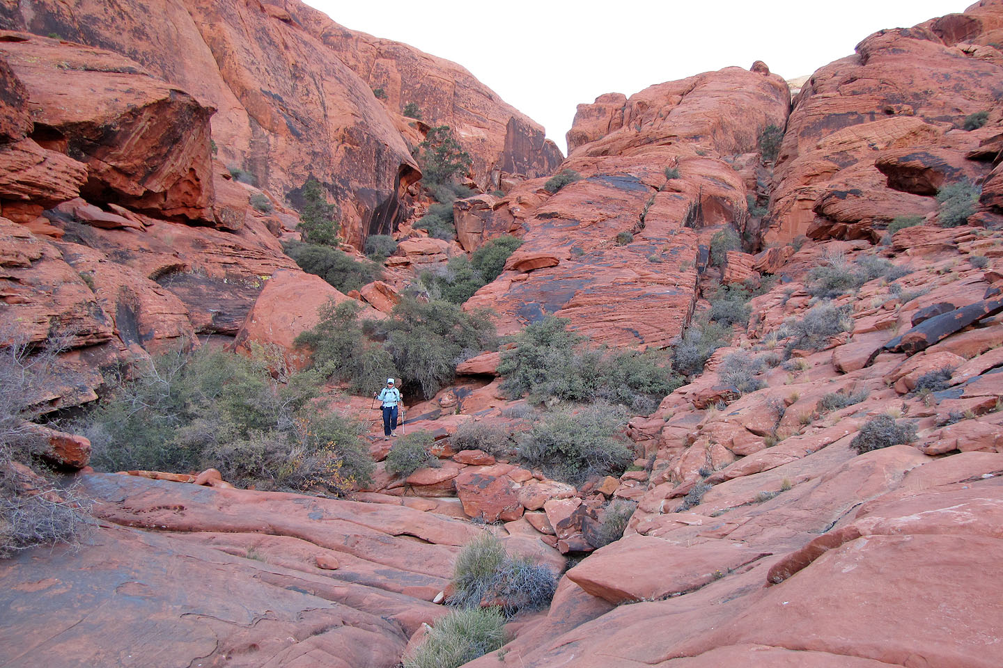
Dinah worms her way through the rocks
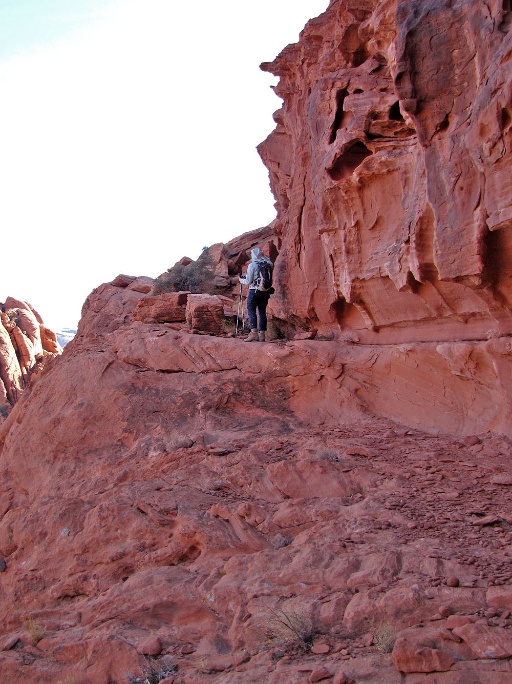
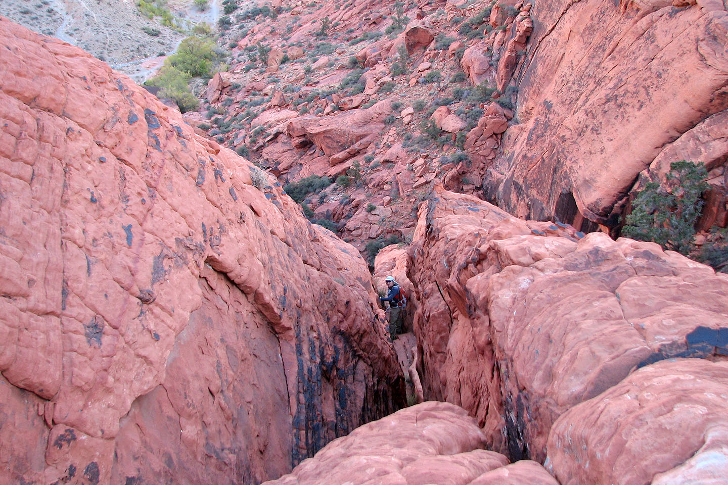
Looking back
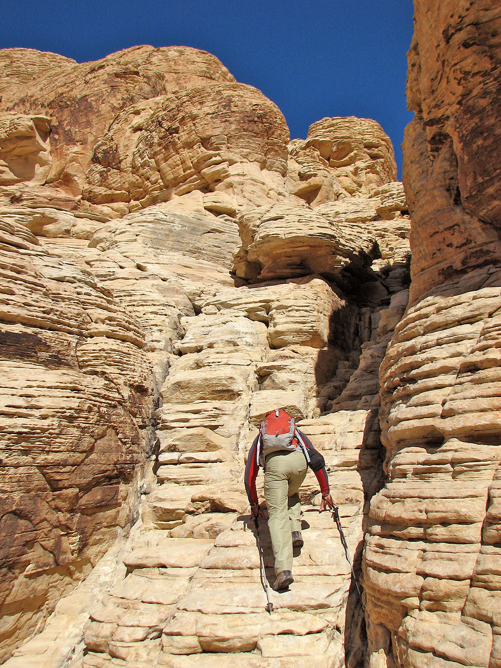
Dinah heads to the cairn in front of her
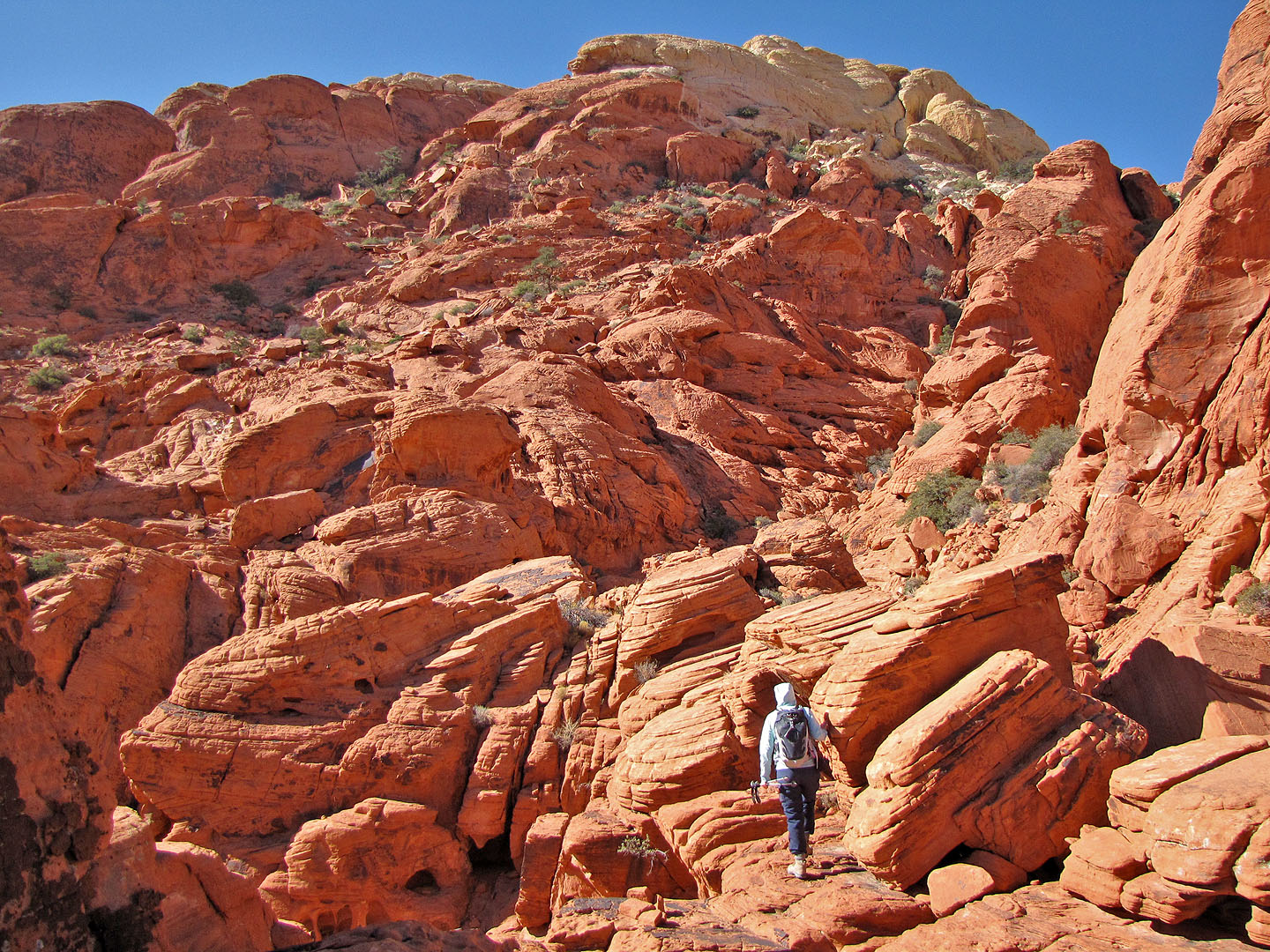
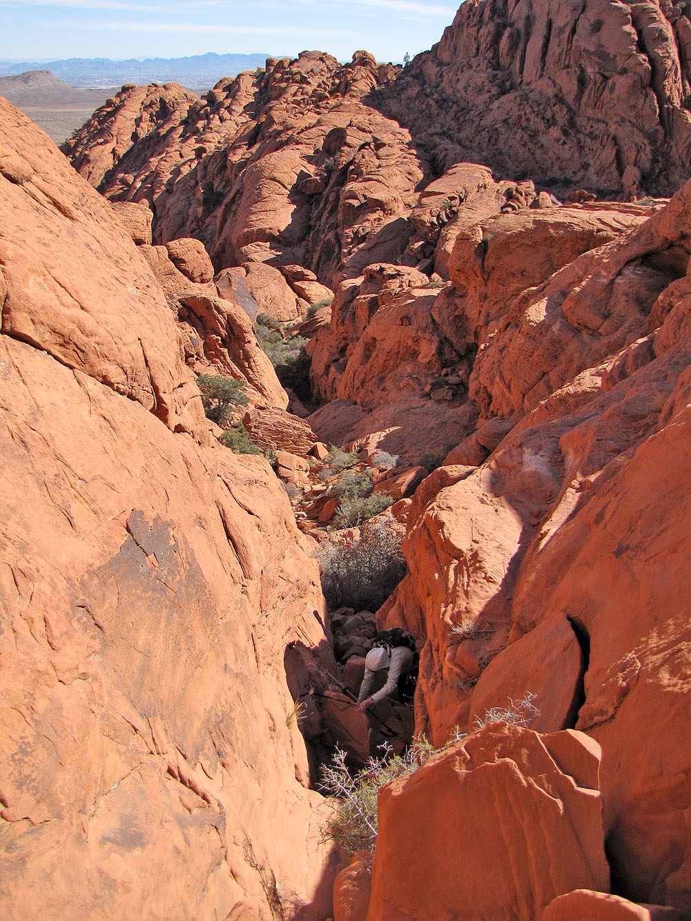
We needed to get to the broad slope above, but reaching it was harder than it looked
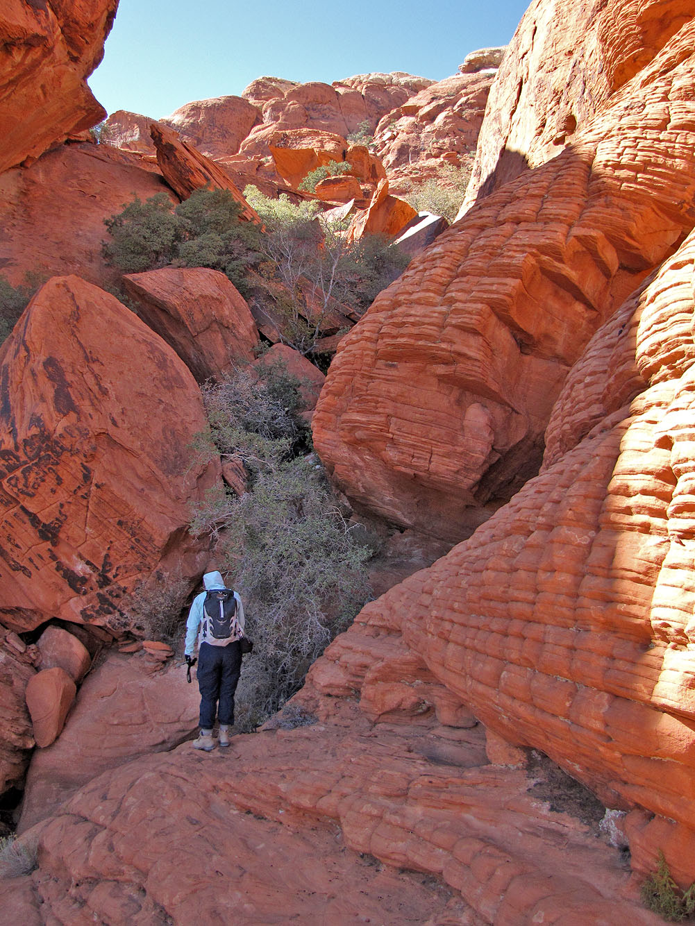
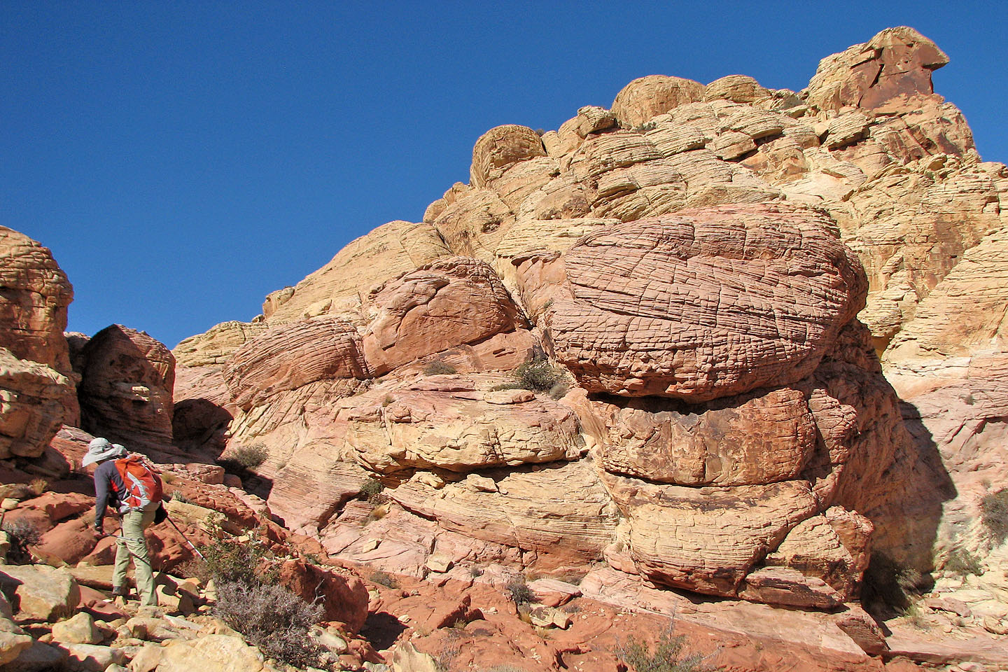
We passed fascinating rocks along the way
We came across a cairn
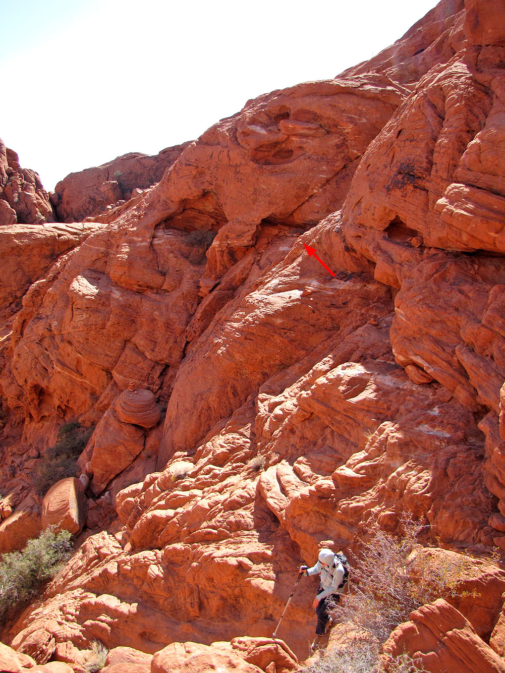
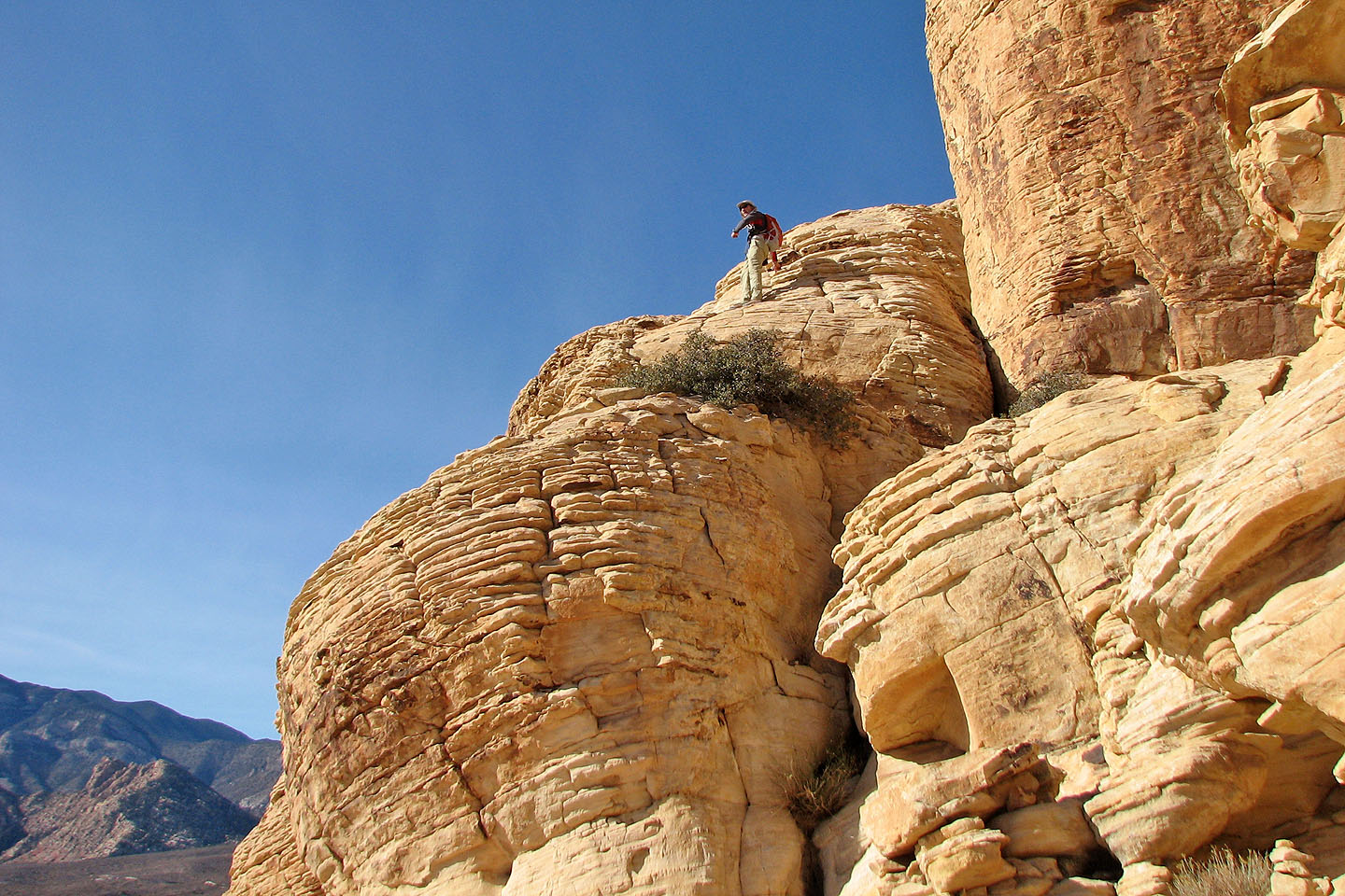
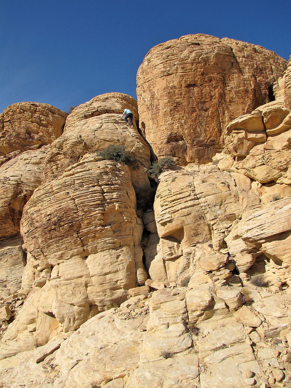
Cairns marked a steep route. Getting to the top (arrow) was easy but tricky after that.
Instead, we went back a ways and found an easy chute on the right
Looking back
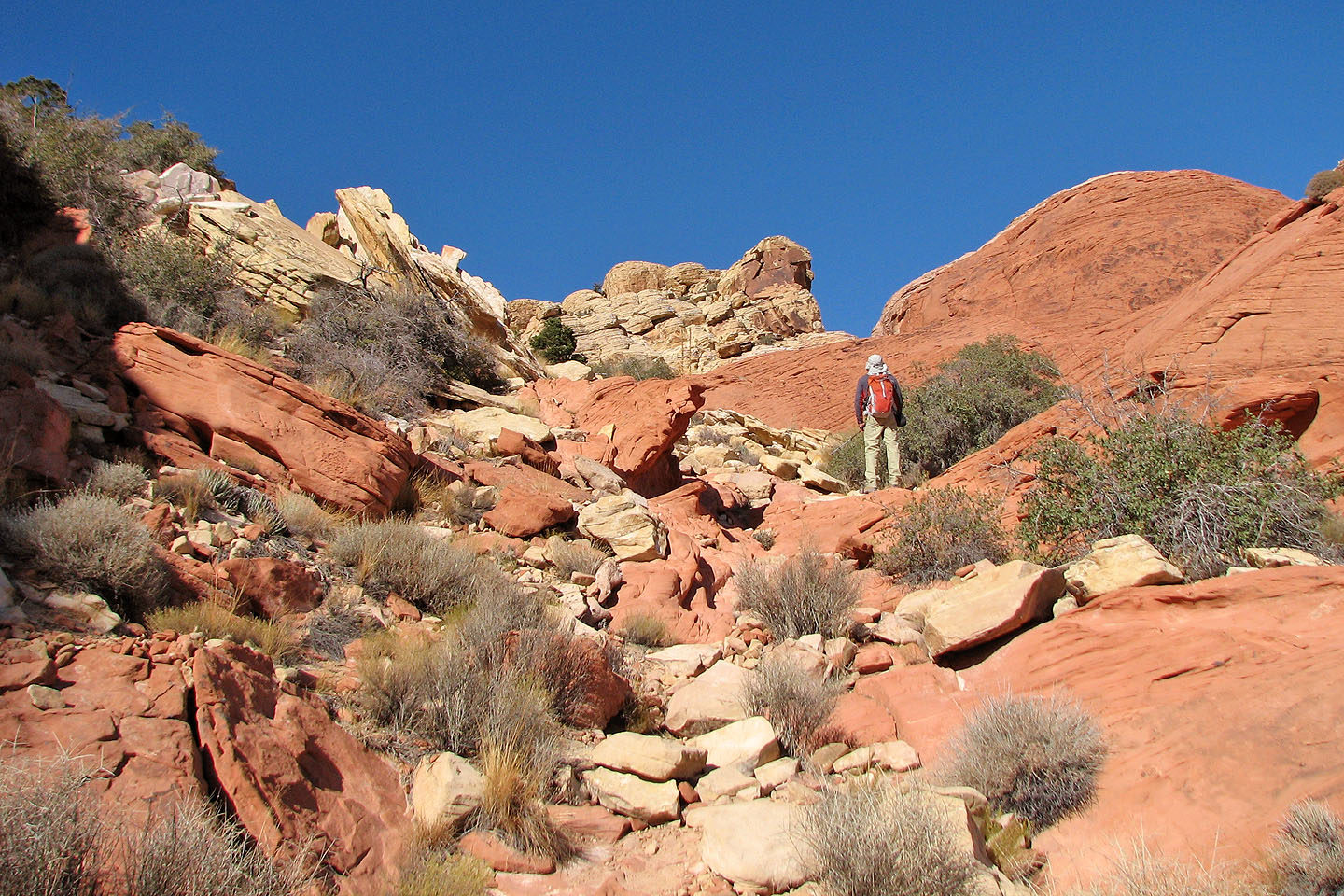
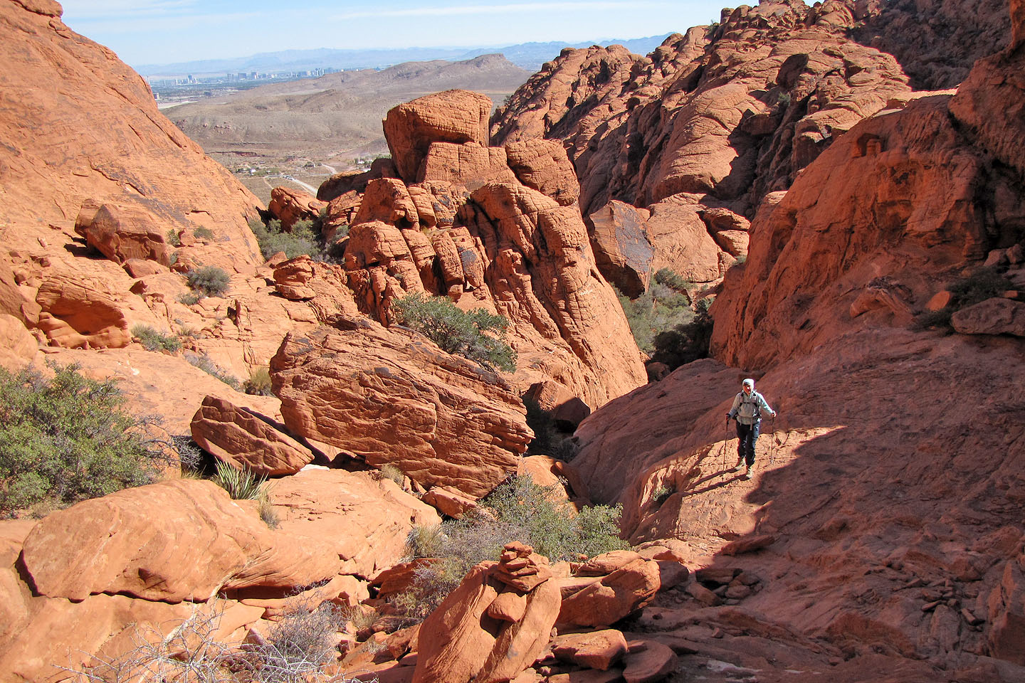
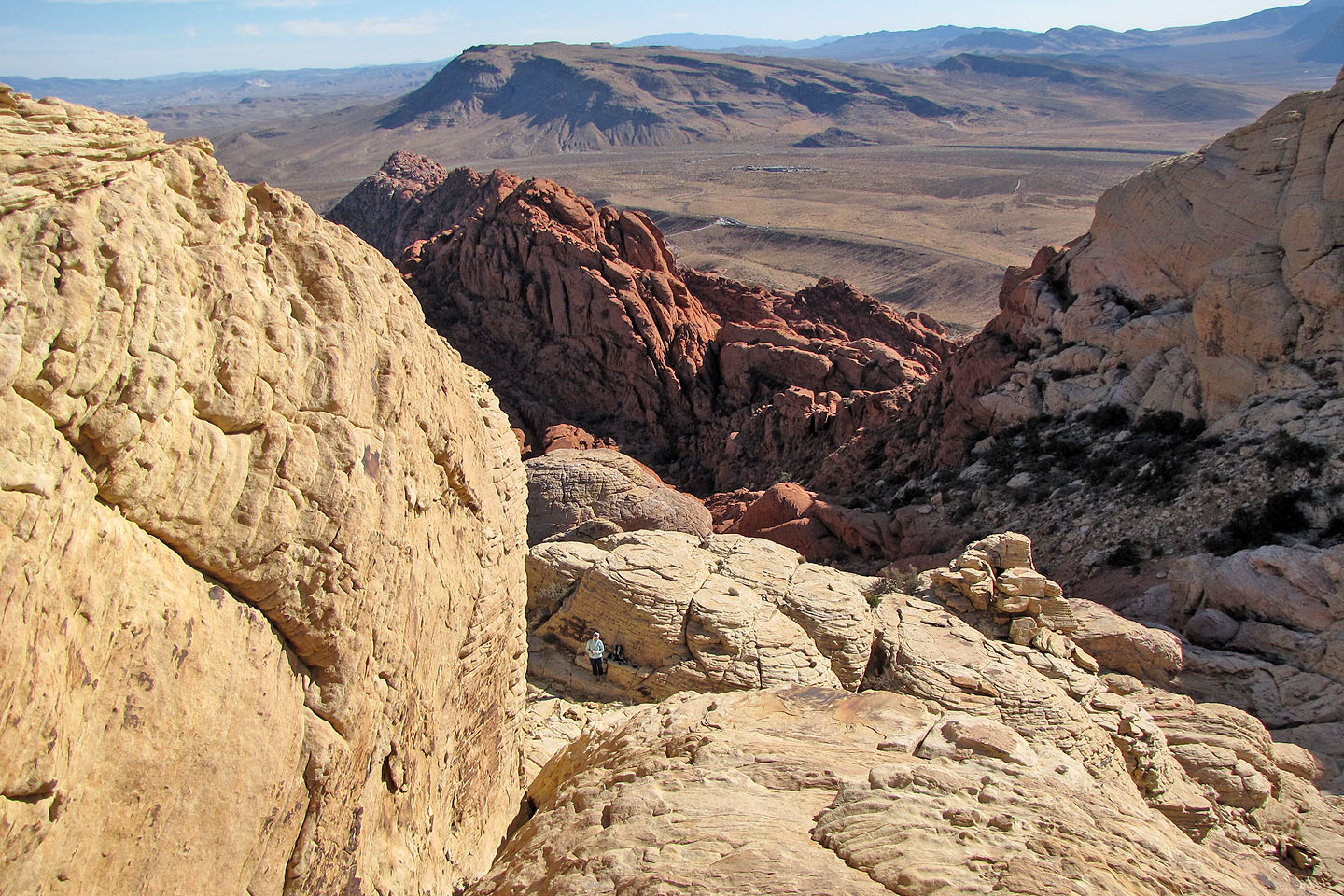
The only easy section we came across. The summit is ahead.
We still had to find a way up the summit
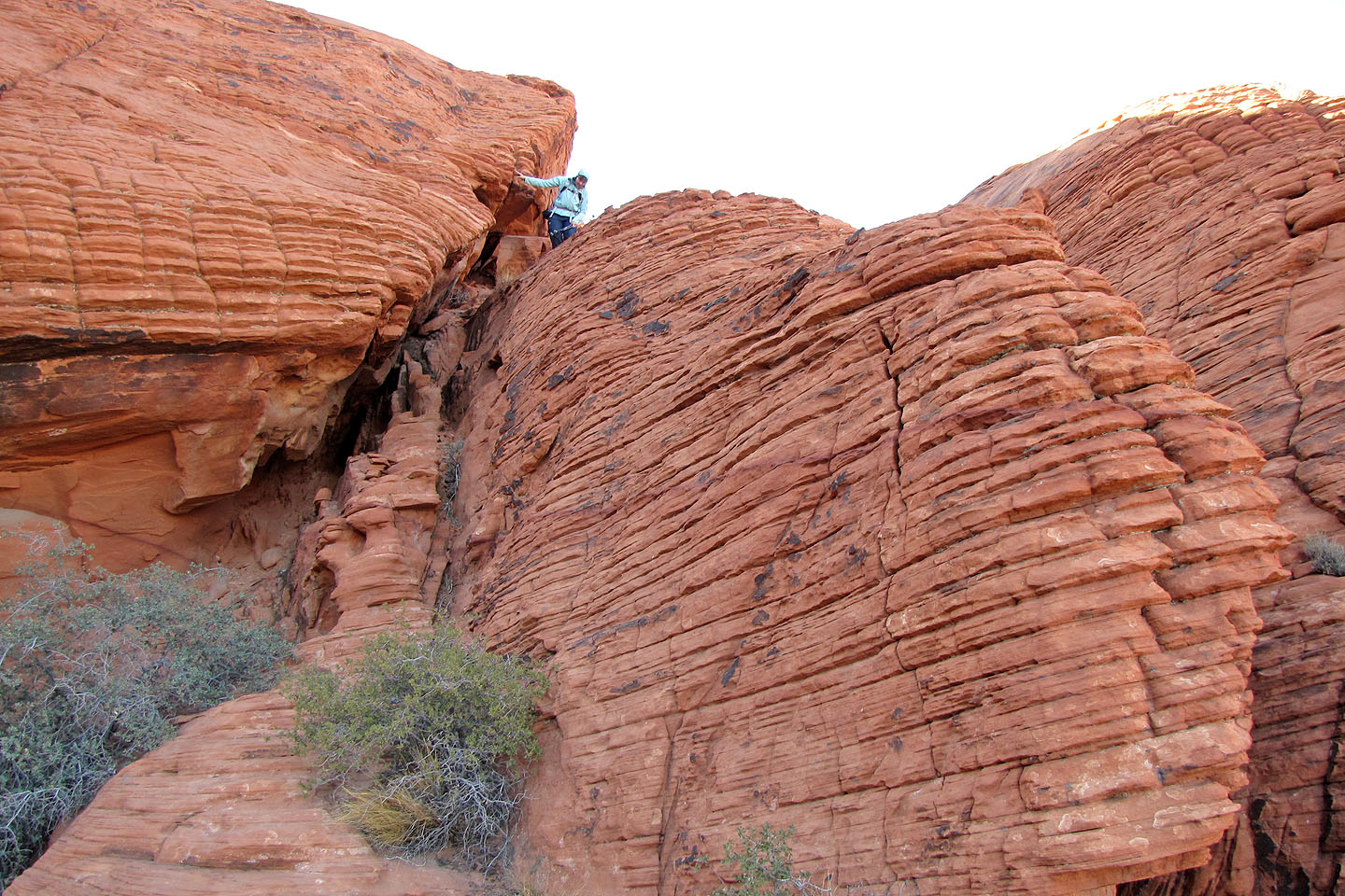
Looking for a way up
Thankfully, the rock was solid and grippy
After searching the right side of the summit, we tried the left and found a way
Looking back at Dinah
I came back down, took this photo of Dinah, and went back up
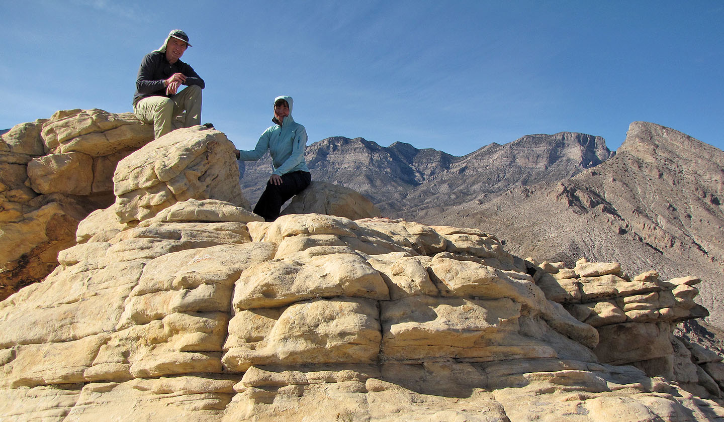
On top of Calico Tank Peak. Turtlehead Peak far right.
Heading back down
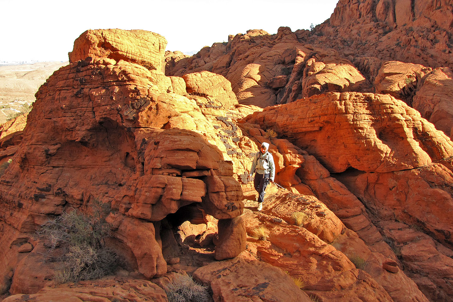
Dinah heads to a tiny arch that reminded me of an elephant
Mostly a scramble on the way down
Following cairns, I tried a different route down but it led to a drop off
I climbed back up to Dinah
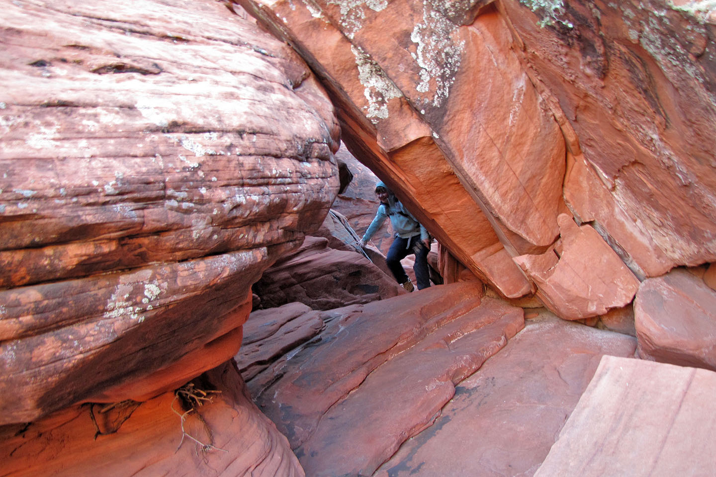
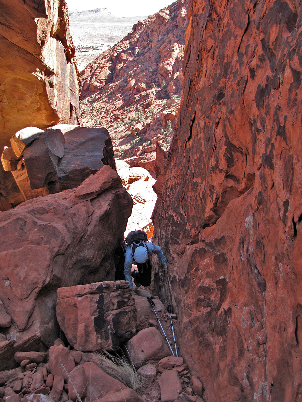
We crawled through a tunnel
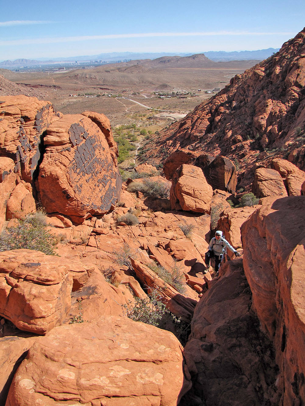
Eventually we made it to the bottom of the canyon and followed it out
La Madre Mountain (3.1 mi, 4921 ft, 1220 ft)