bobspirko.ca | Home | Canada Trips | US Trips | Hiking | Snowshoeing | MAP | About
Mount Siyeh
Glacier National Park, Montana
August 2, 2009
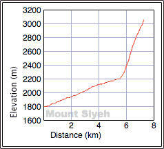
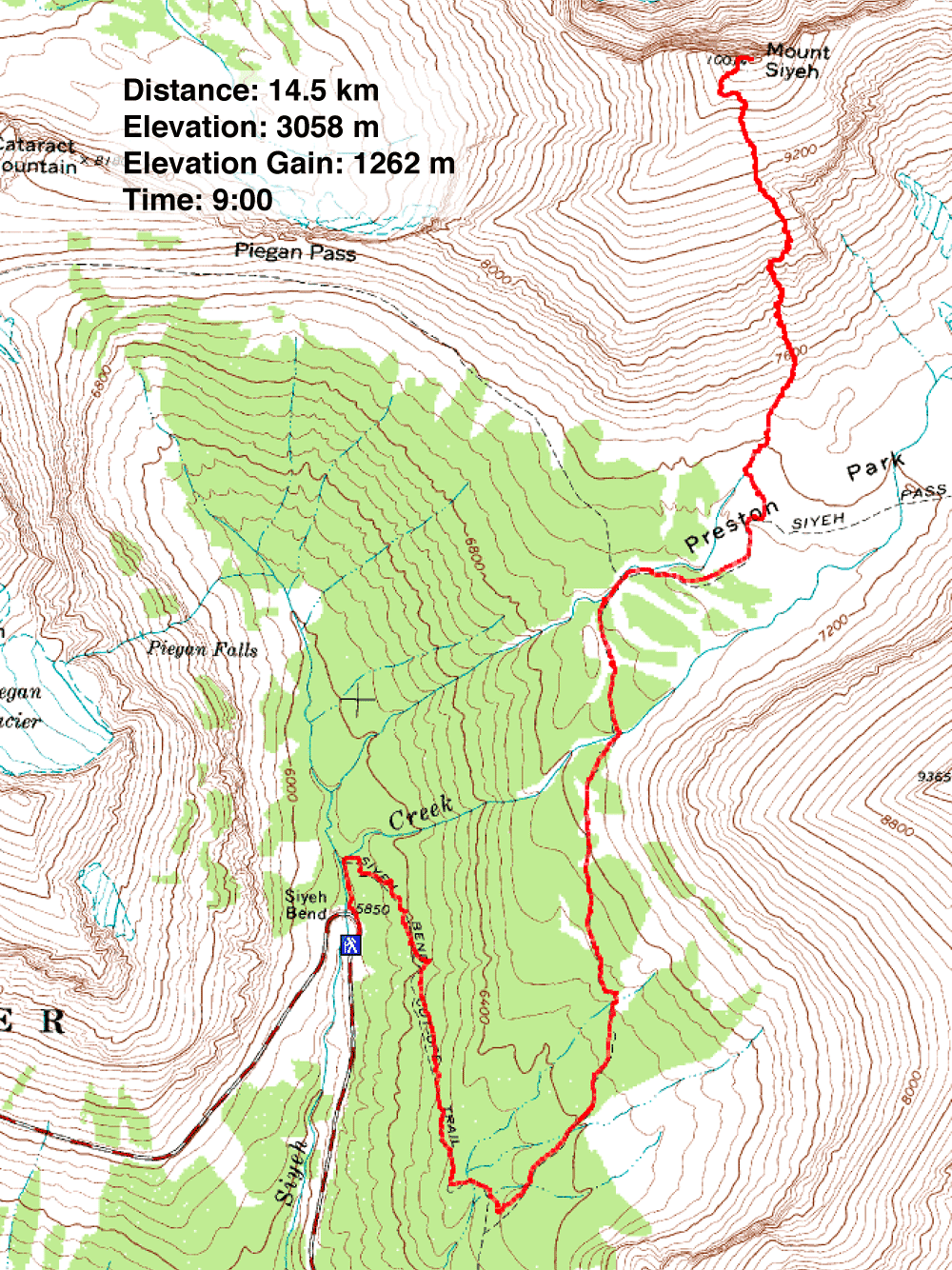
Distance: 14.5 km (9.0 mi)
Cumulative Elevation Gain: 1270 m
(4167 ft)
Despite being the fifth highest peak in Glacier National Park, Mount Siyeh is not a technical ascent. Neither is it a hike, however; it sports more hands-on climbing than I expected. The book, Climber's Guide to Glacier National Park, offered enough information for us to reach its summit, yet it also left us with enough uncertainty to make us work at routefinding.
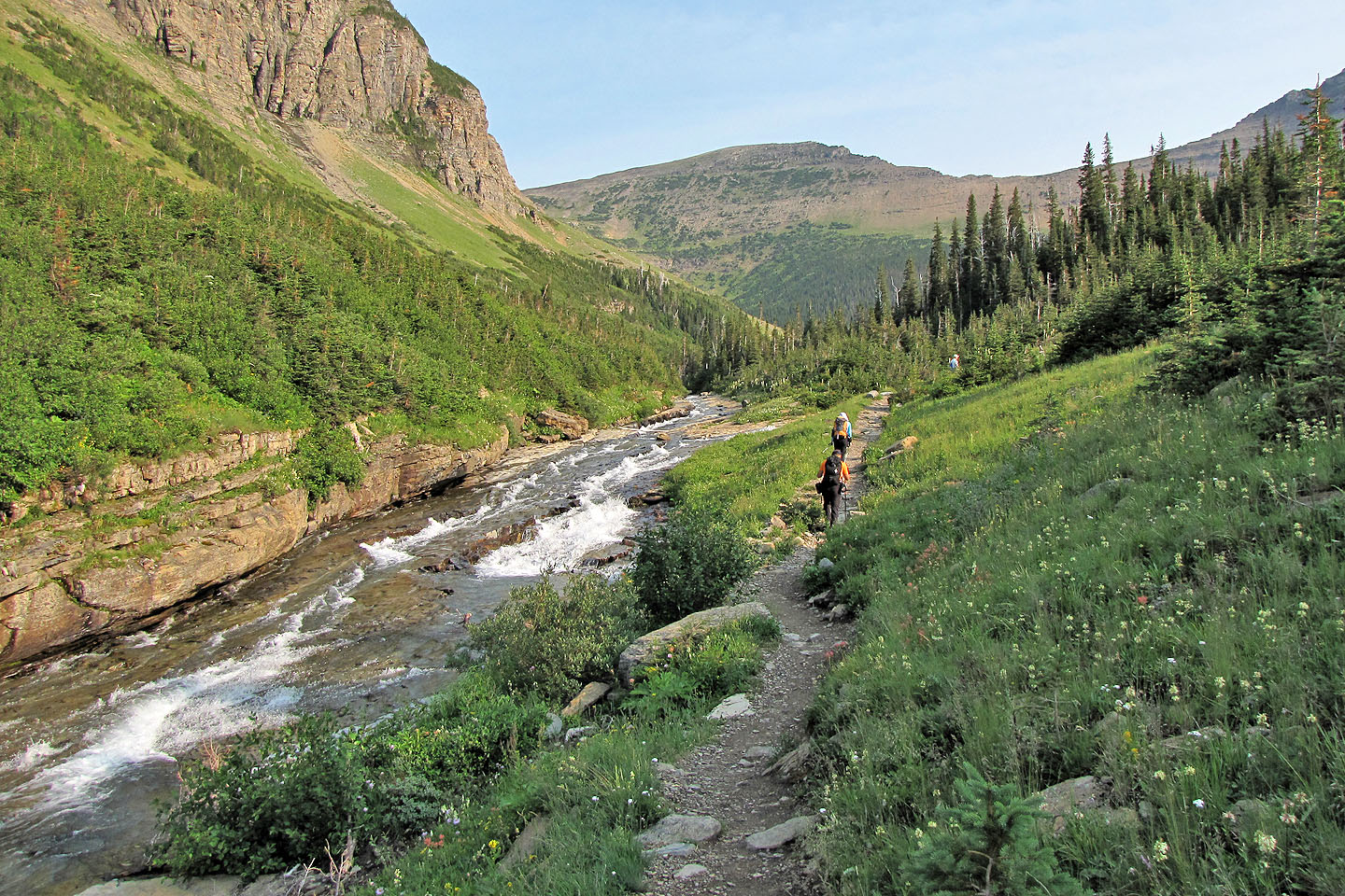
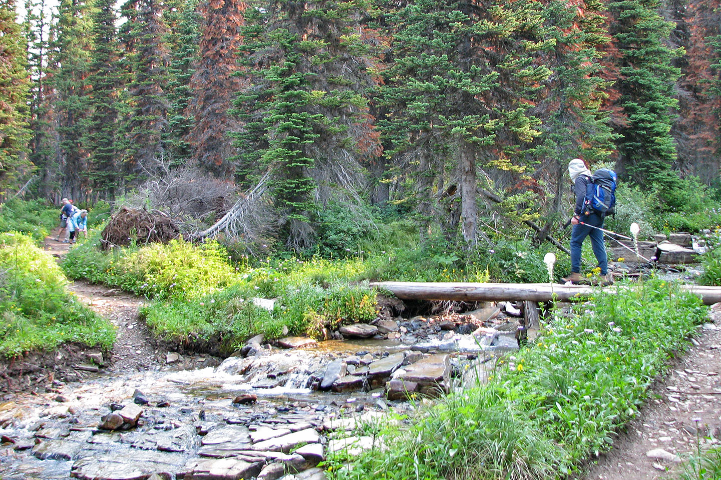
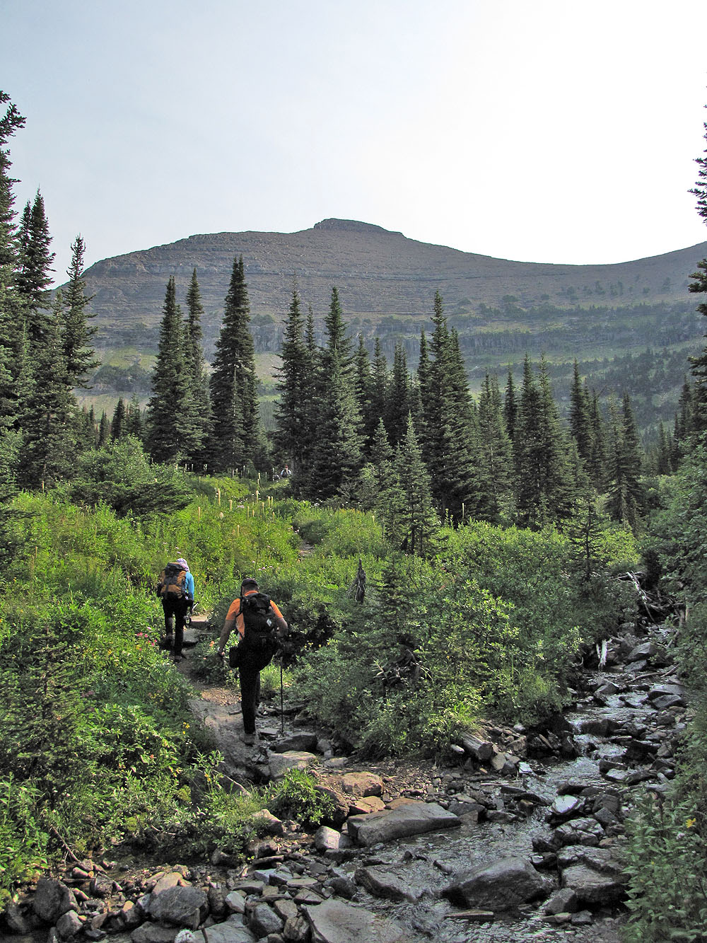
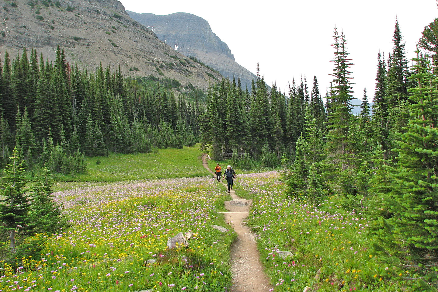
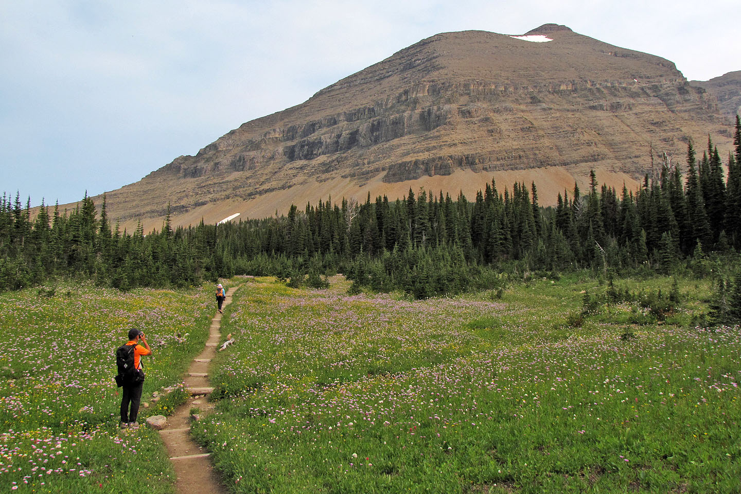
The trail starts at Siyeh Bend and meanders into a valley called Preston Park below Mount Siyeh and Siyeh Pass. Apparently Siyeh Pass is a popular destination as we found little solitude on the trail. After reaching a bend in the trail (GR051990) in Preston Park we made our way through firs and meadows to the scree at the bottom of the ascent gully (GR053996). We spent several minutes there, wondering if we were at the right spot and where the route went.
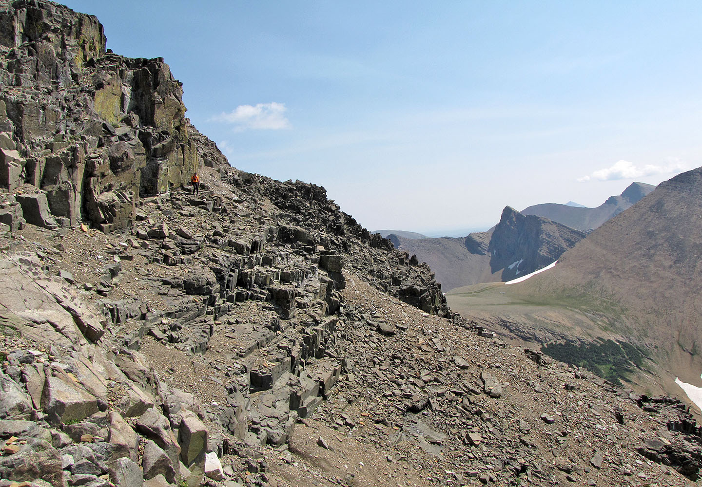
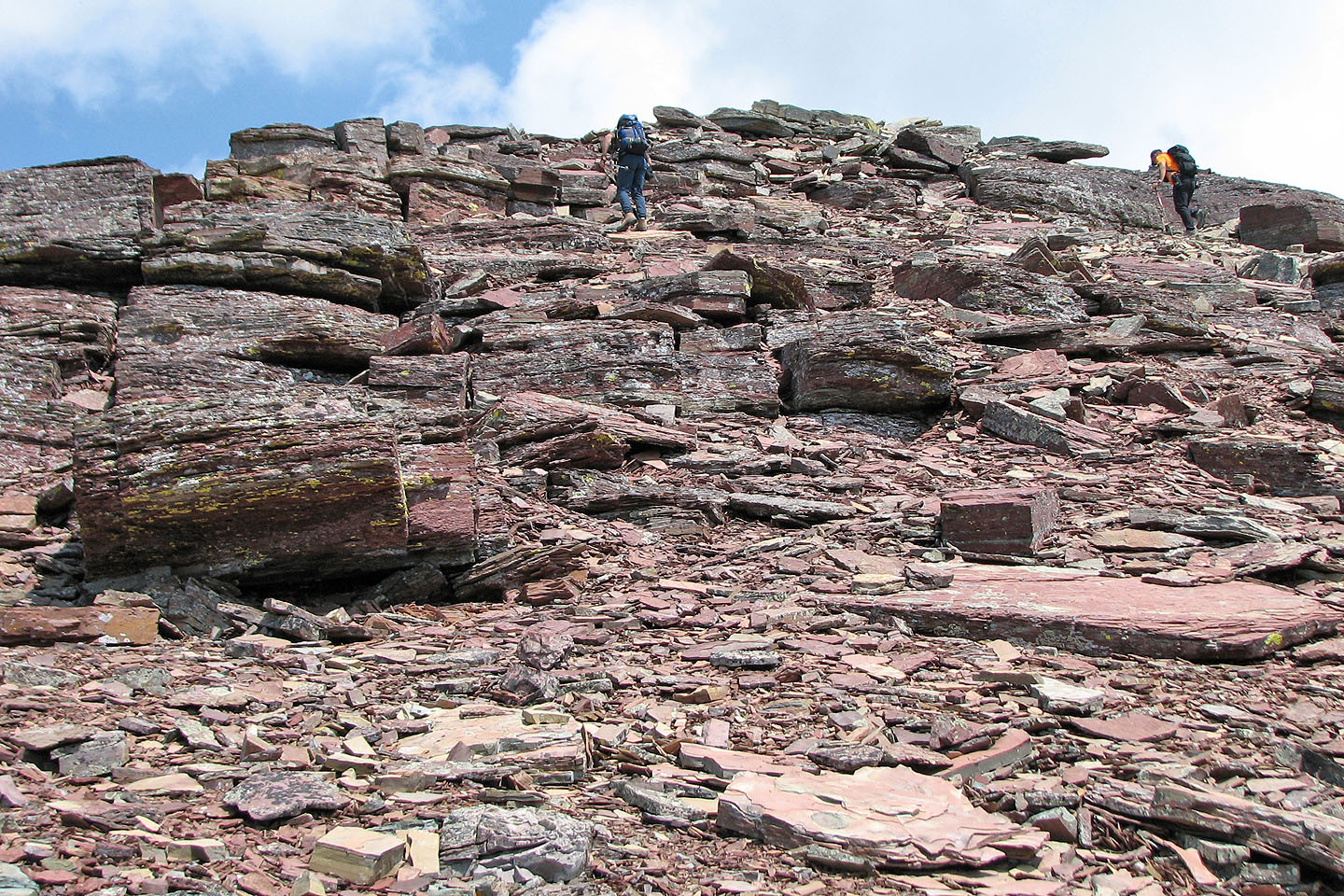
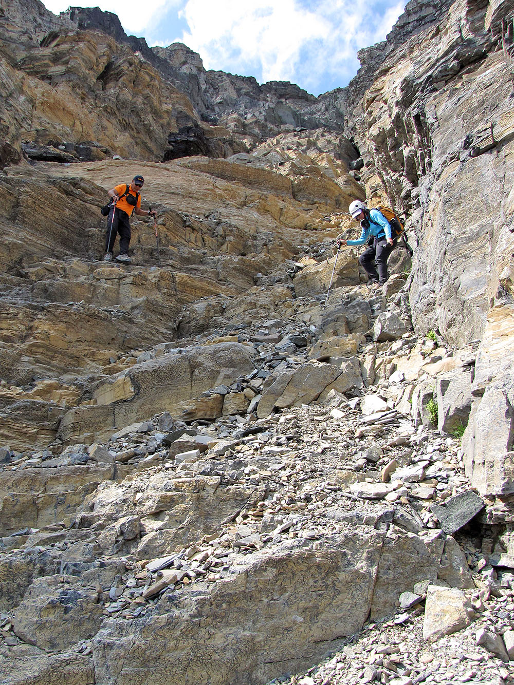
After ascending a short way, we came across footprints; clearly we were on track. A little later, we saw the second gully we were to take. Here the rock was steeper, although the scrambling was no more than moderate. Unexpectedly, this gully ends in steep, black rock. Exploring the terrain on the right, we discovered a gentle scree slope that ran along the base of a cliff band. Cairns marked the route.
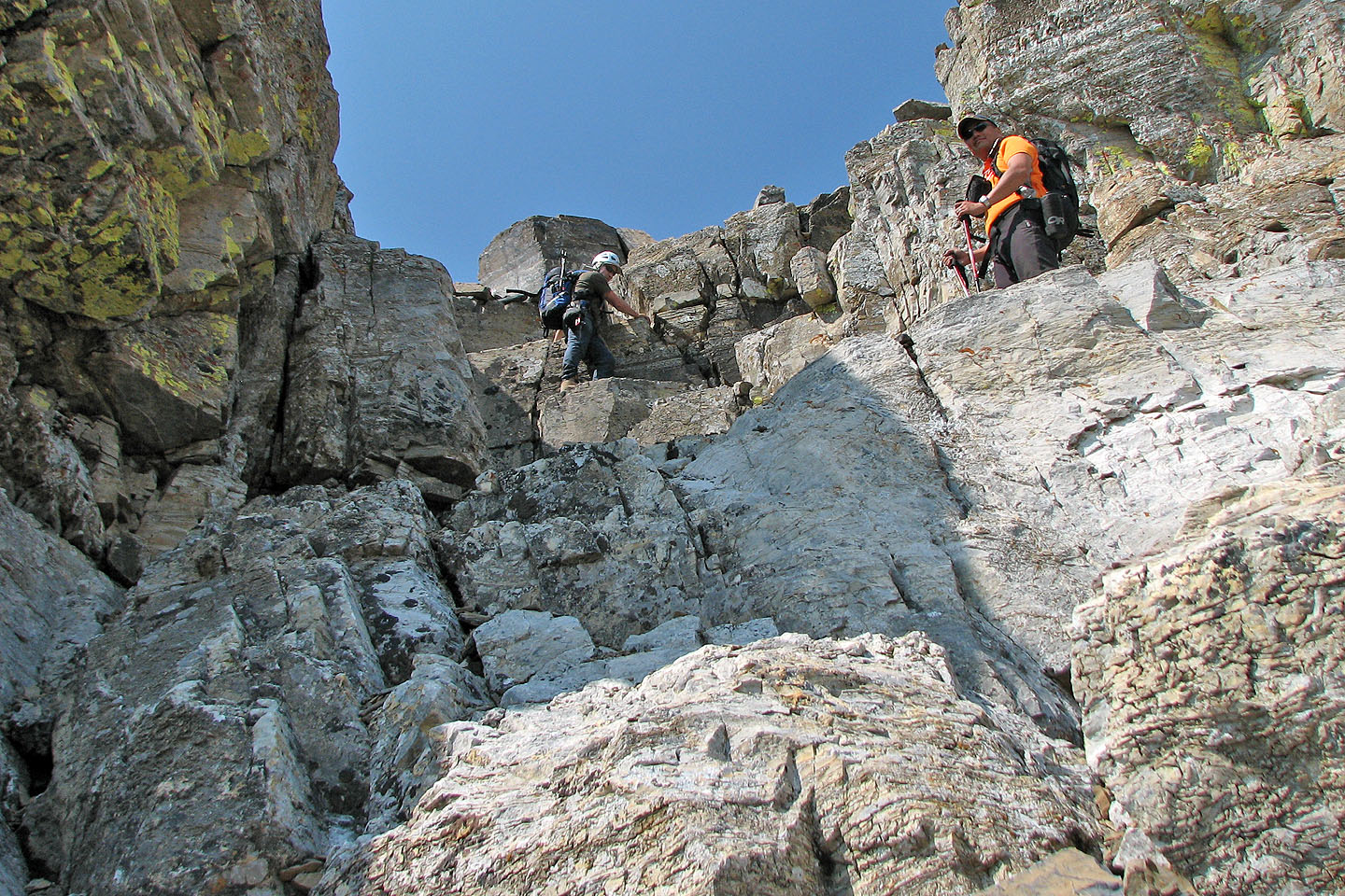
The route led to a chimney in the cliff band: the crux. After negotiating the crux, we faced a long scree plod to the summit block. To skirt a huge snow patch, Sonny headed left while Dinah and I went straight up, avoiding it on the right.
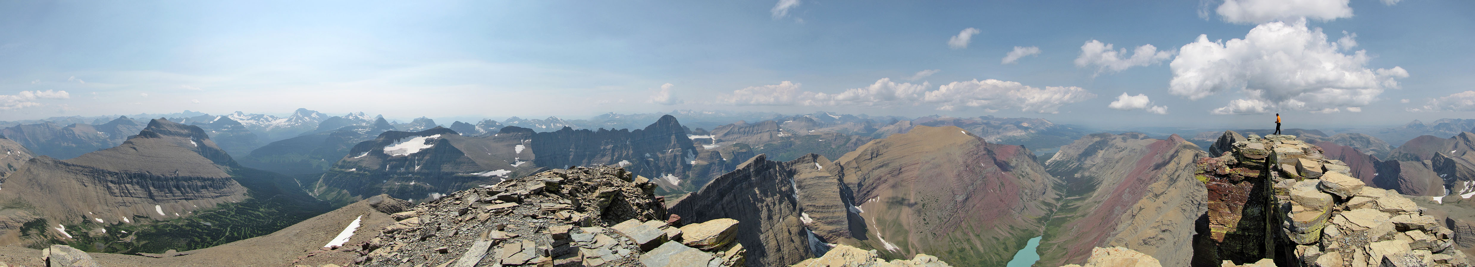
After regrouping on the ridge below the summit block, we made our way to the top of Mount Siyeh. The views were far-reaching although haze – likely from a forest fire – dimmed views of distant mountains. Even so, the scenery was well-worth the ascent. We stayed nearly an hour before returning the same way.
Having enjoyed our two-day stay in Glacier National Park to climb Altyn and Siyeh, we agreed the park calls for more visits.
KML and GPX Tracks
Sonny's Trip Report
The trail starts at Siyeh Creek
Numerous creek crossings along the way
The trail passes under Matahpi Peak
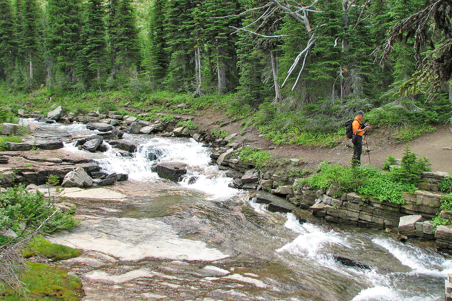
The trail crosses Siyeh Creek just before Preston Park
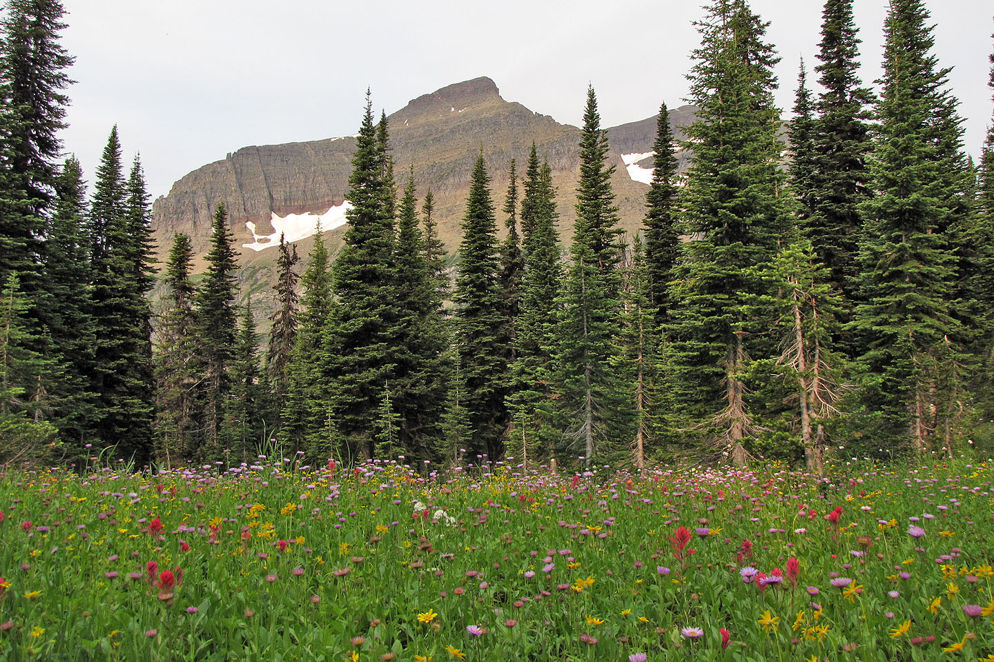
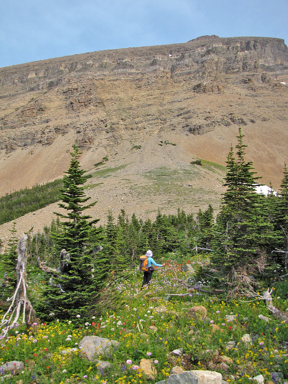
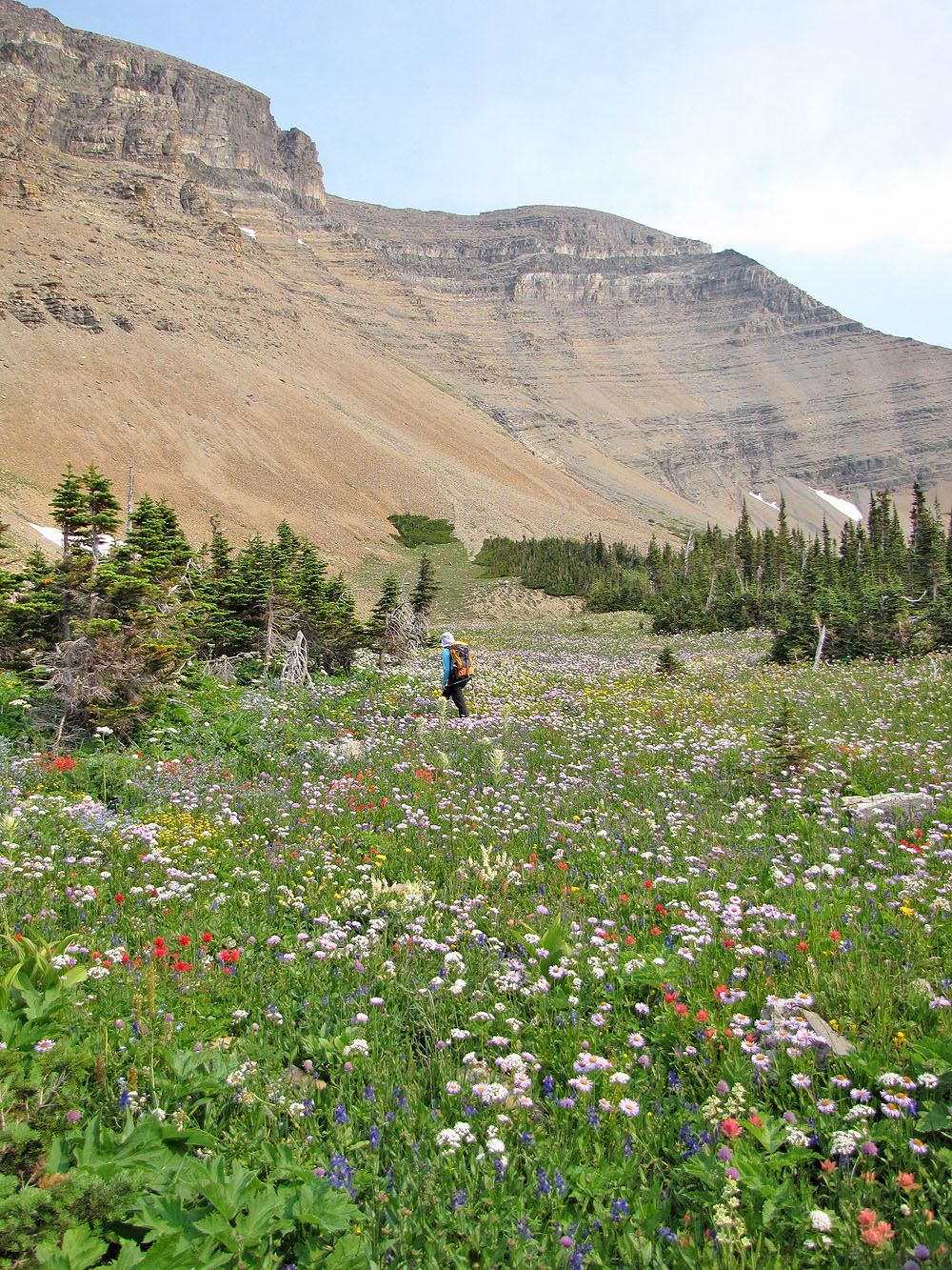
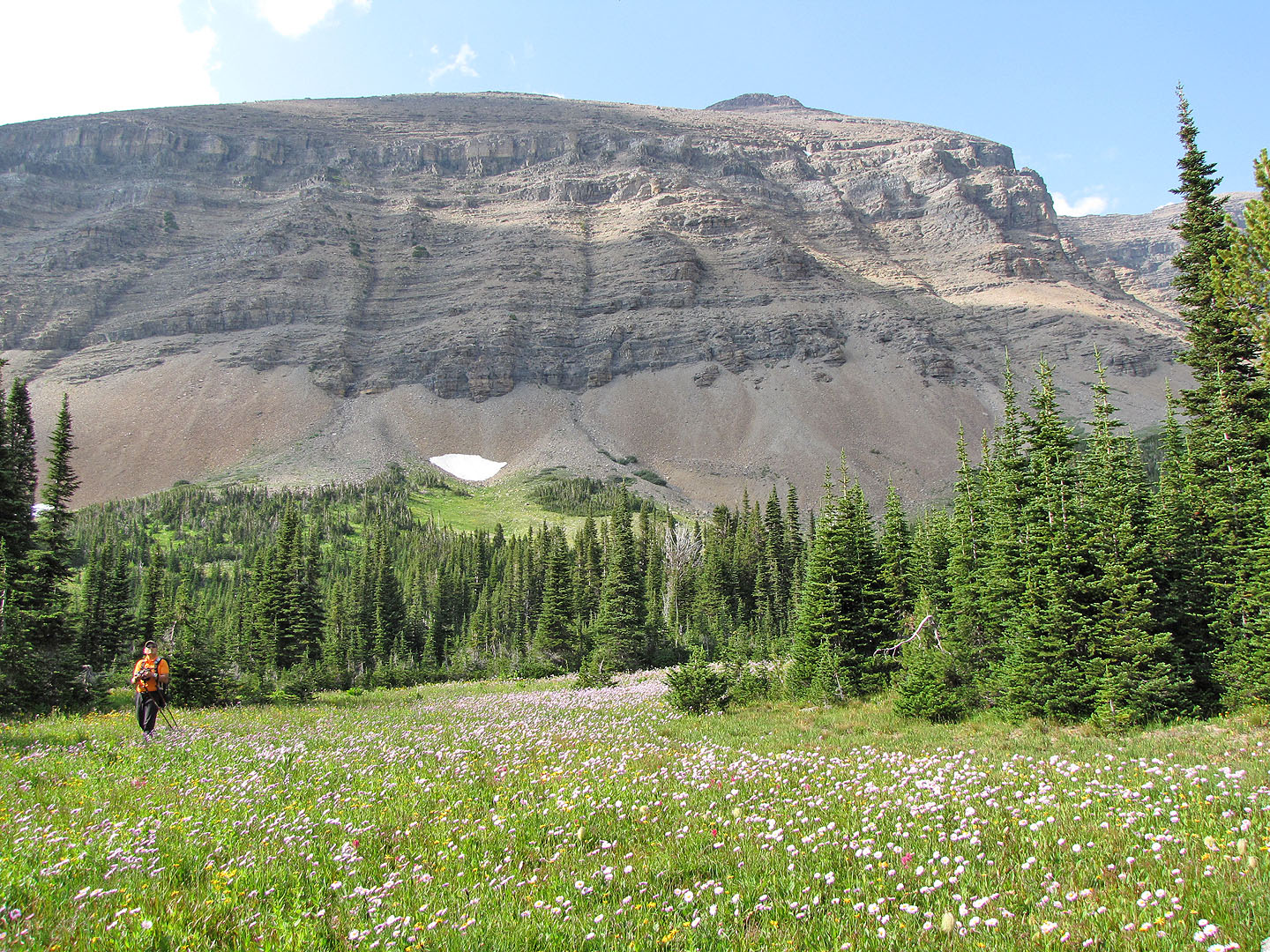
Wildflowers filled the meadows
More wildflowers
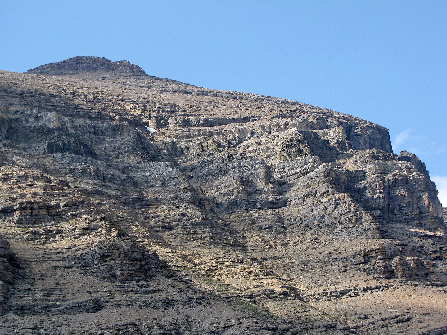
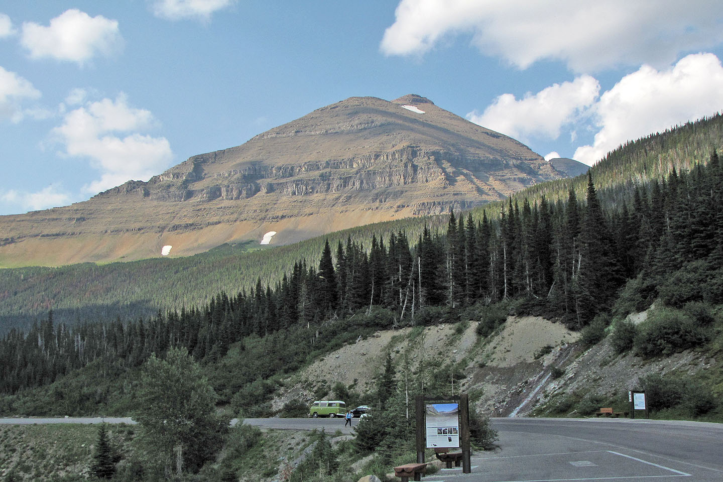
Our first clear view of Mount Siyeh
We headed to the scree cone where we'll begin our ascent
More flowers!
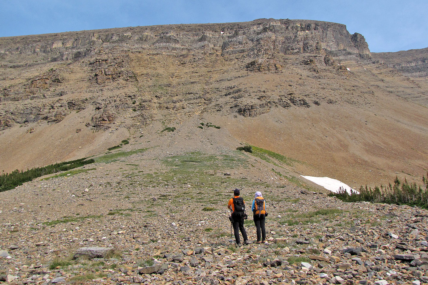
We stopped at the body of the scree to study the route
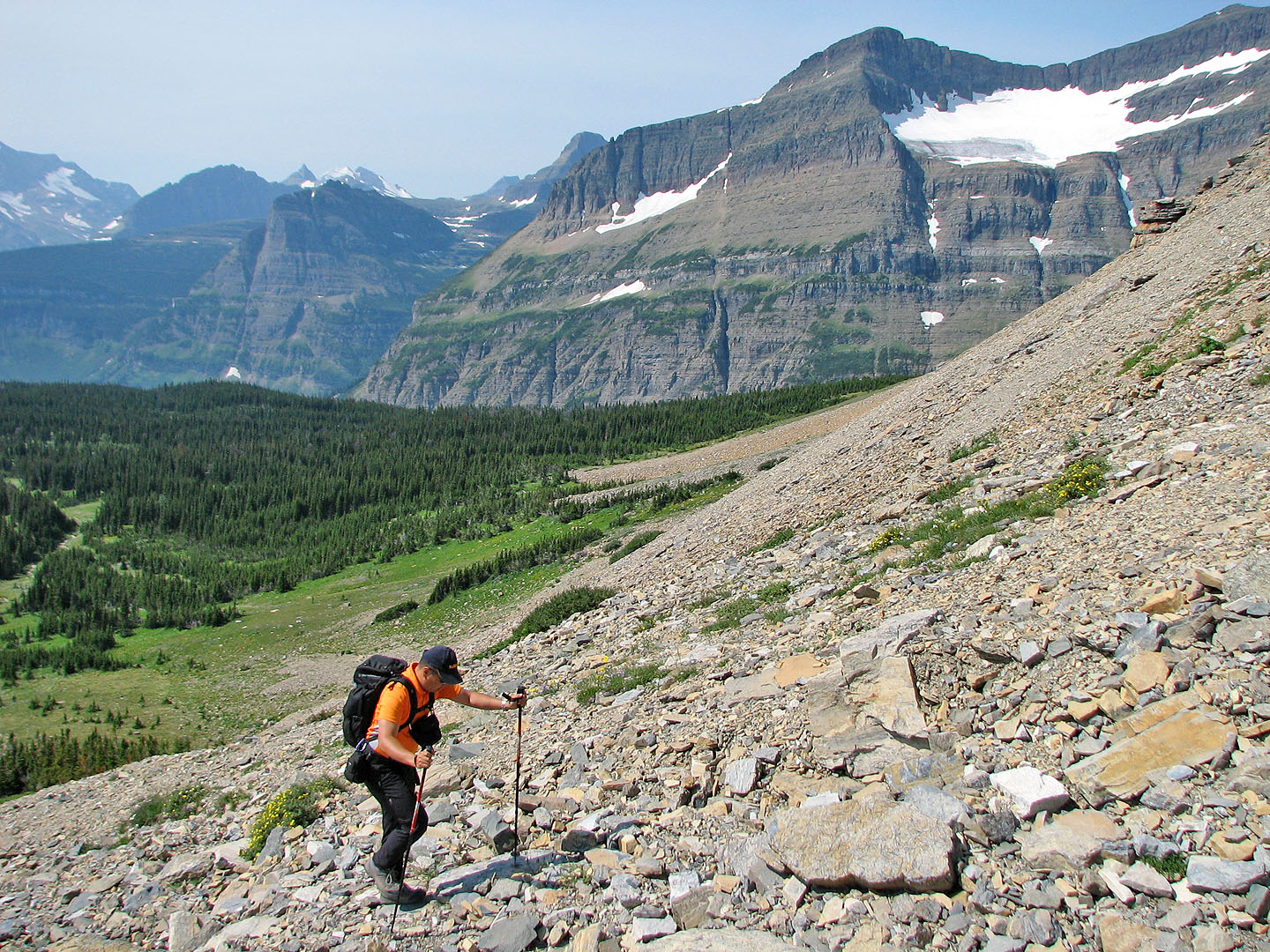
Starting up the scree. Piegan Mountain on the right.
Sonny followed the gully (left) while Dinah and I hiked up the slope
At first, we weren't sure where to go
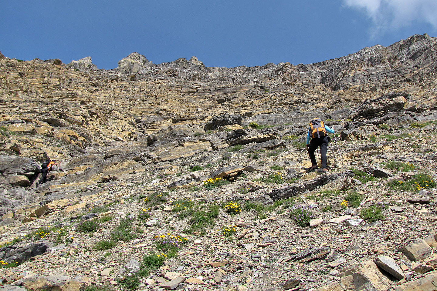
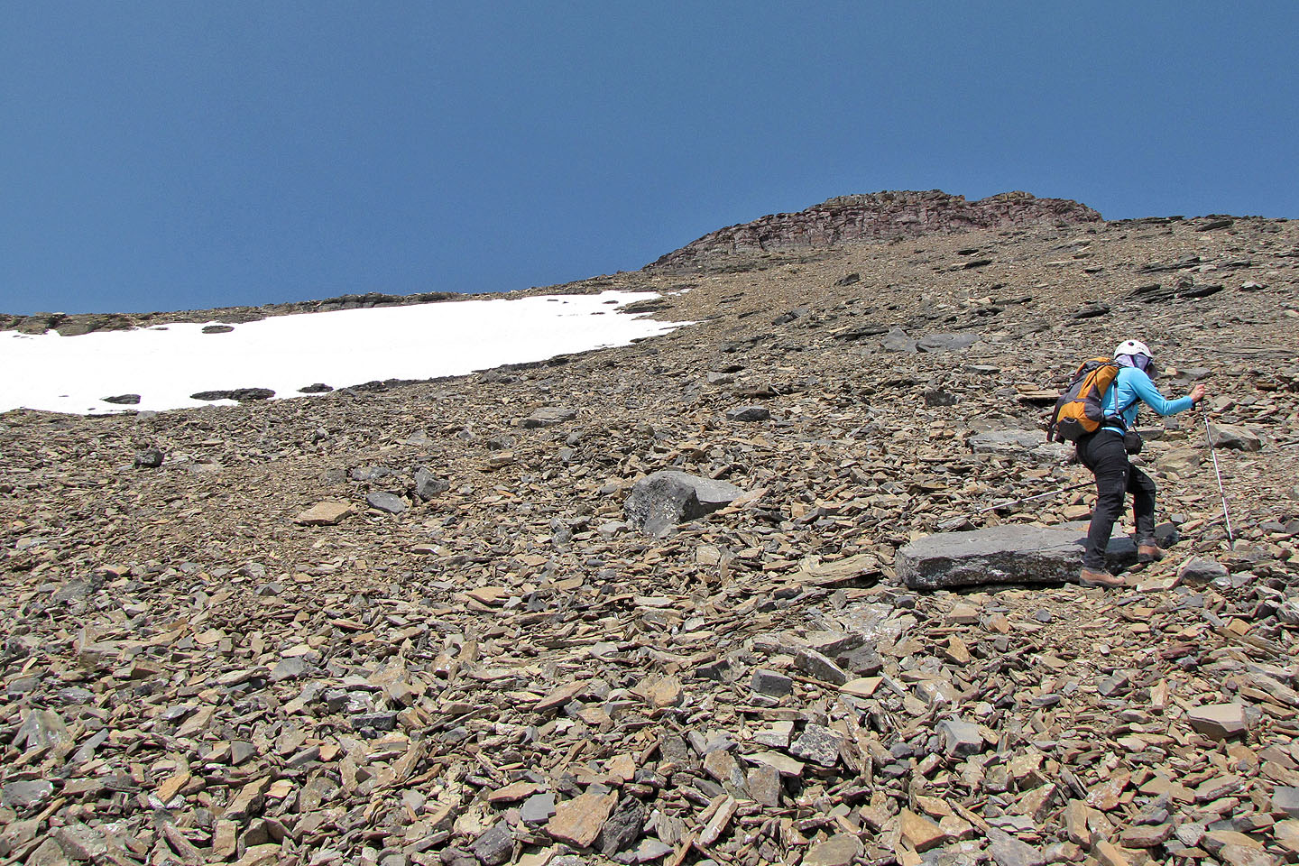
The grade steepens
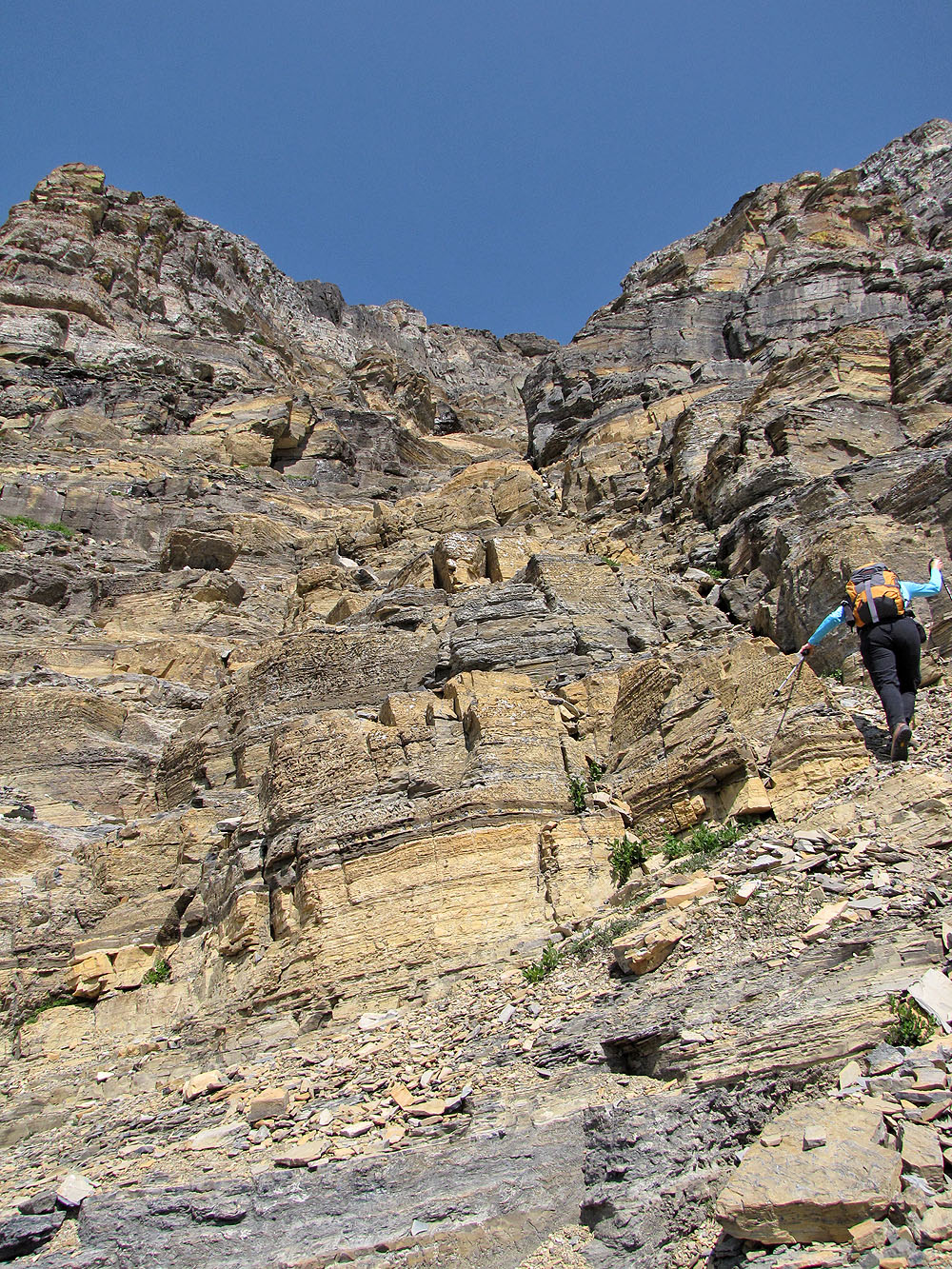
Going to the second gully
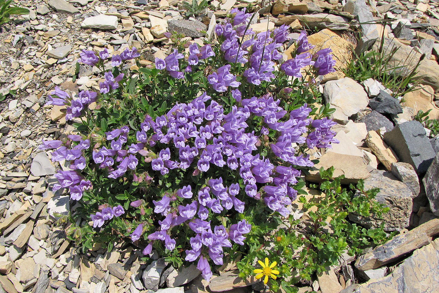
There were few plants in the gully but rocky ledge penstemon was common
Below is the scree where we started our ascent
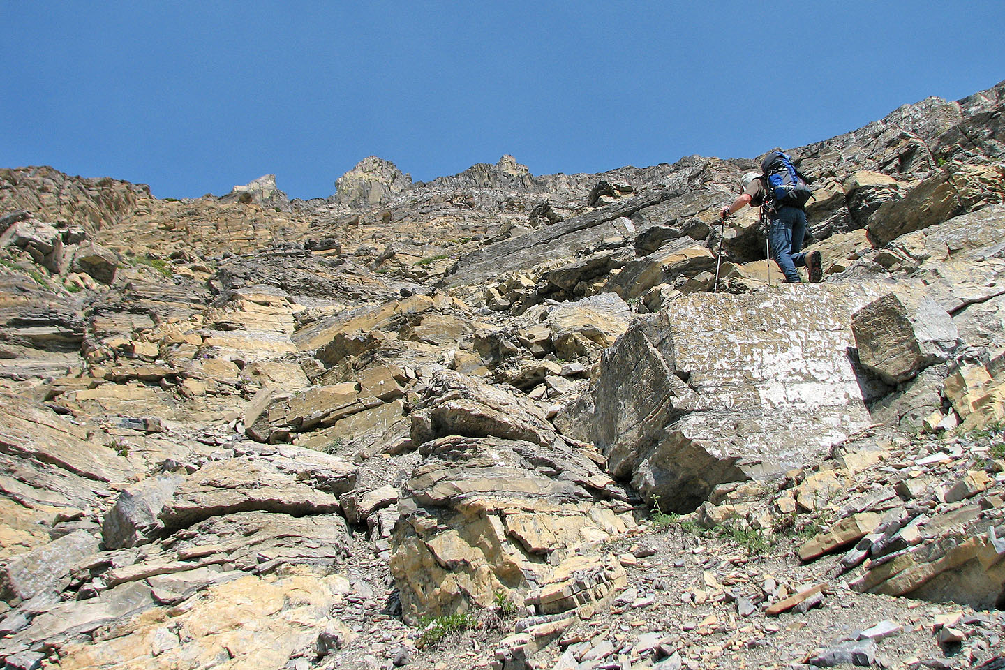
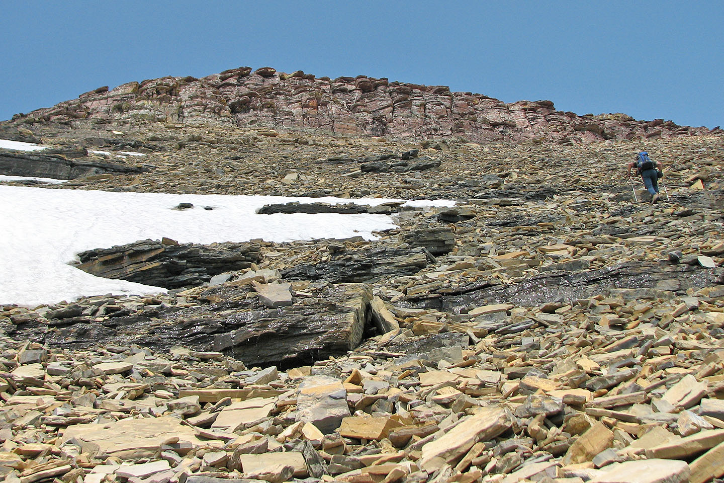
We reached black rock in the gully
Unable to find an easy way up the black rock, Sonny explored right side
We left the black rock (above Dinah) behind
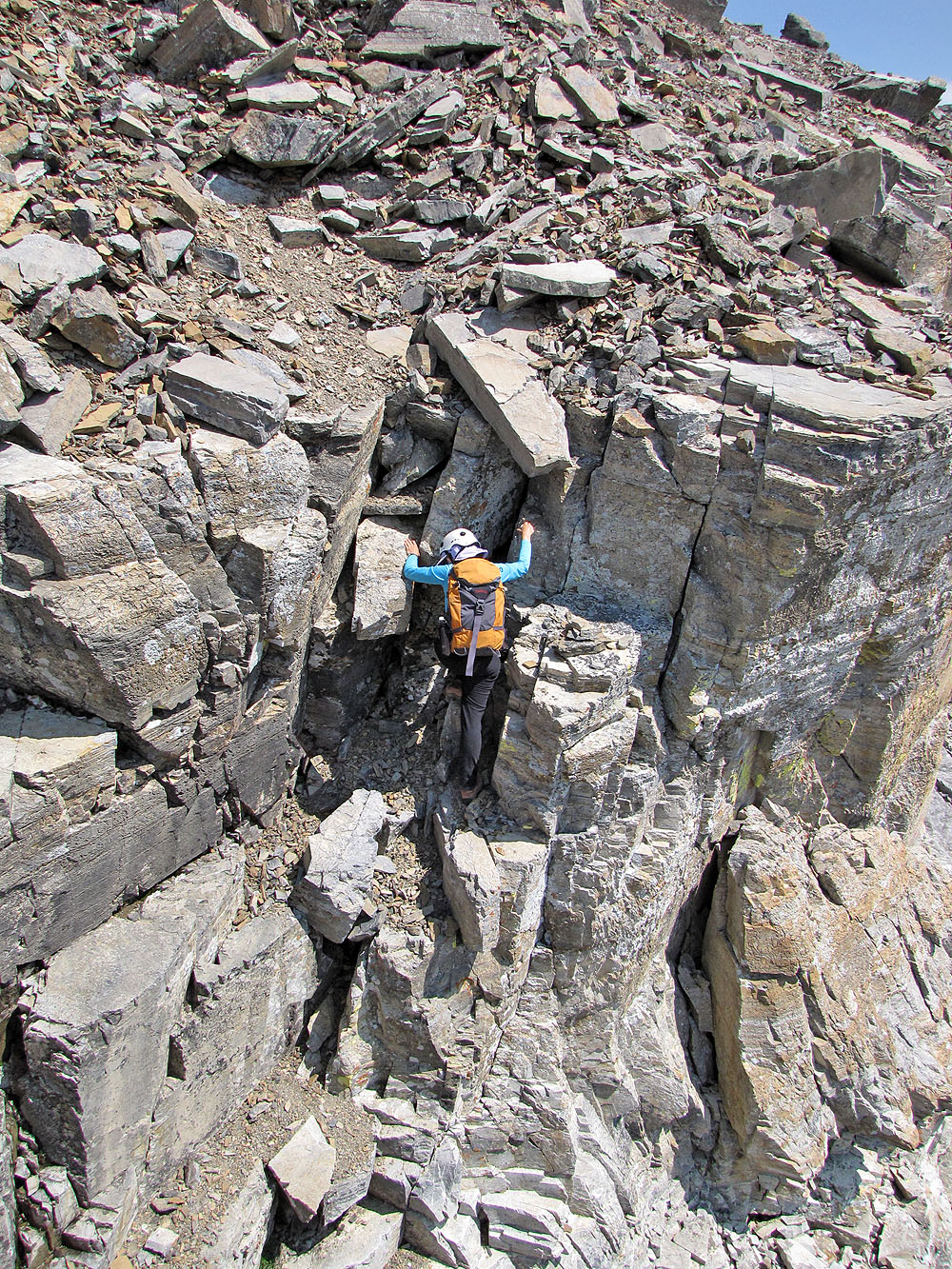
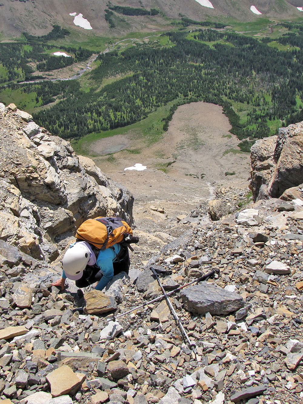
Dinah ascends the crux
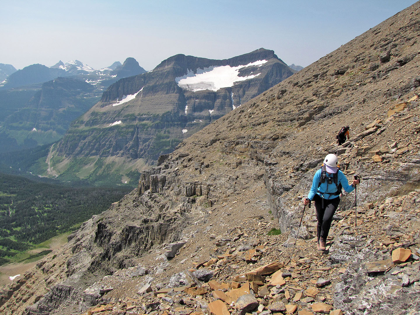
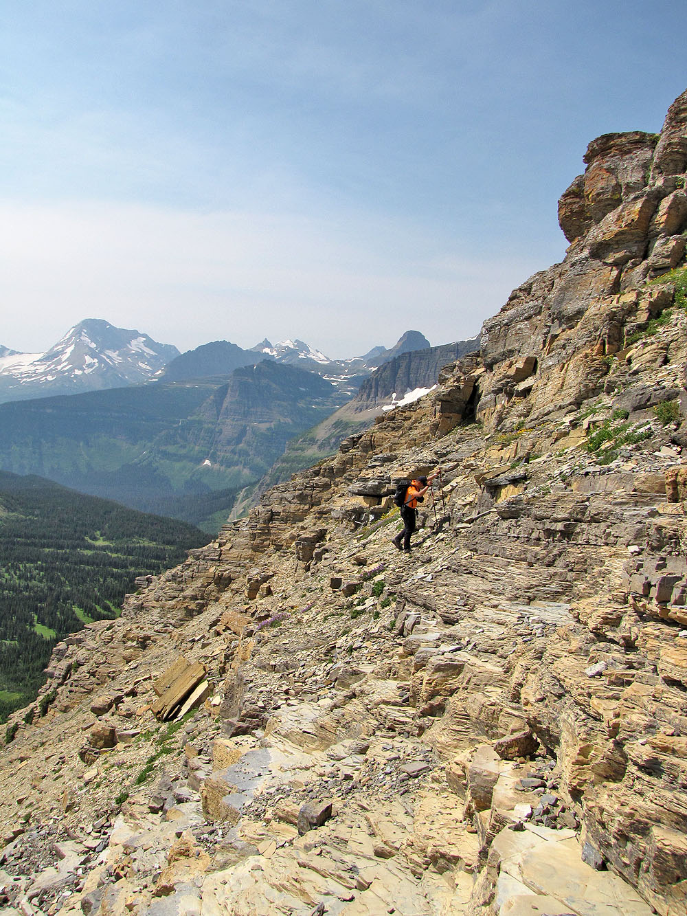
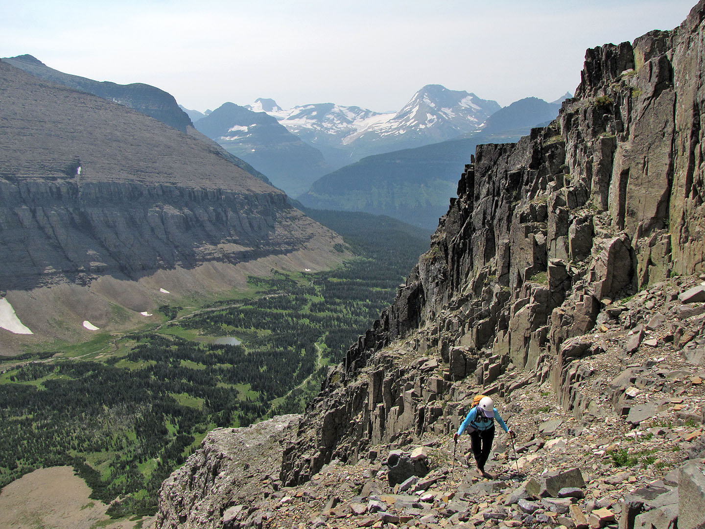
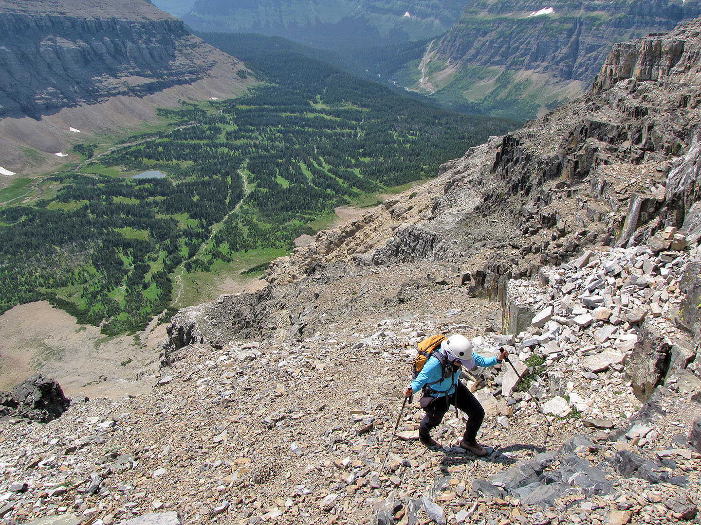
The scree slope above the cliffs
After plodding up the scree for a time, the summit appears but is still far above us
Skirting the snow below the summit
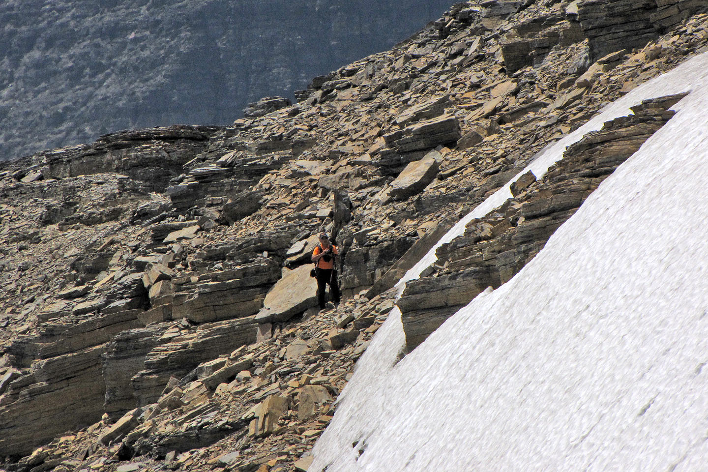
Sonny passes the snow patch on the left (mouse over to zoom out)
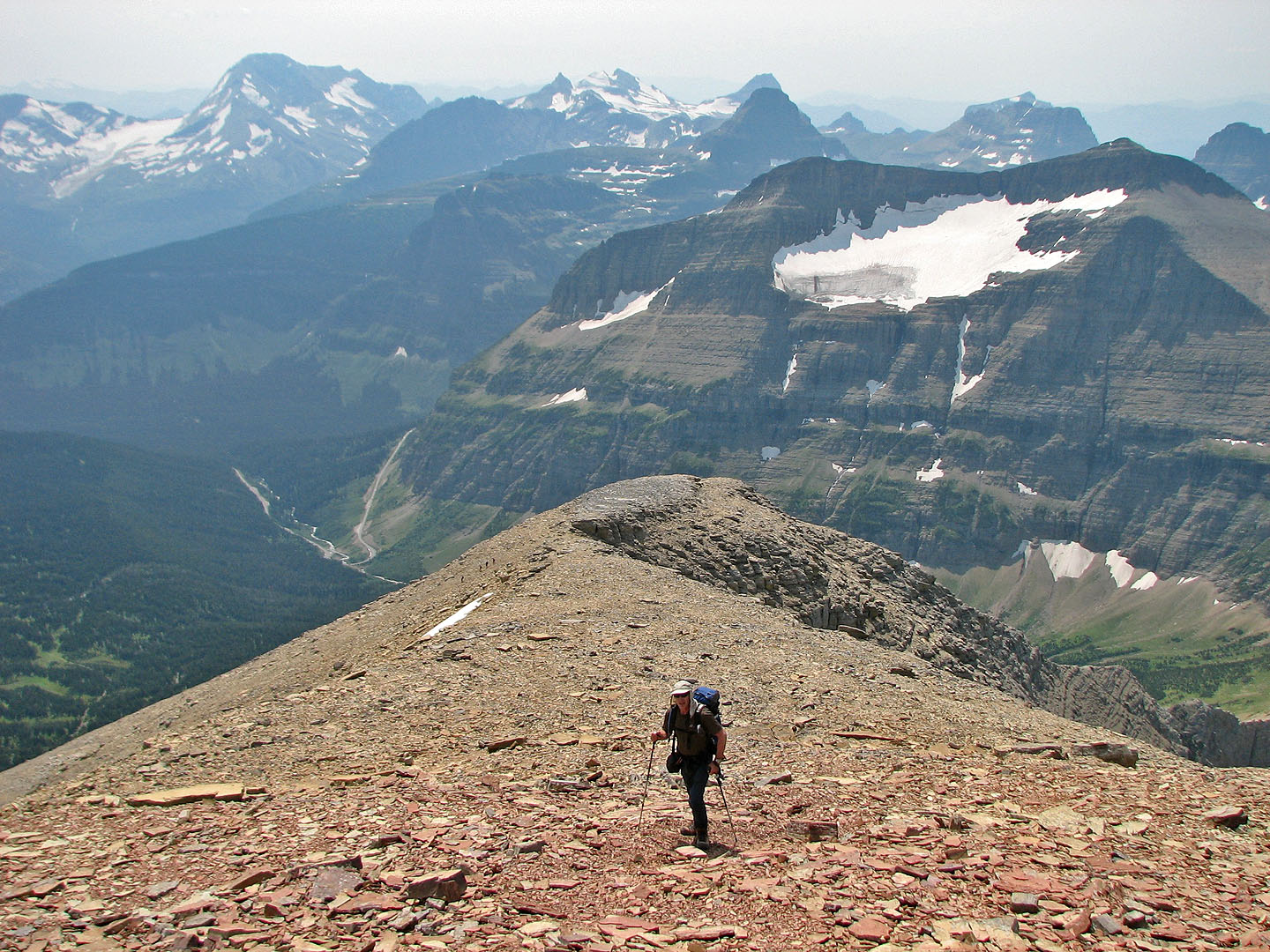
On the ridge below the summit
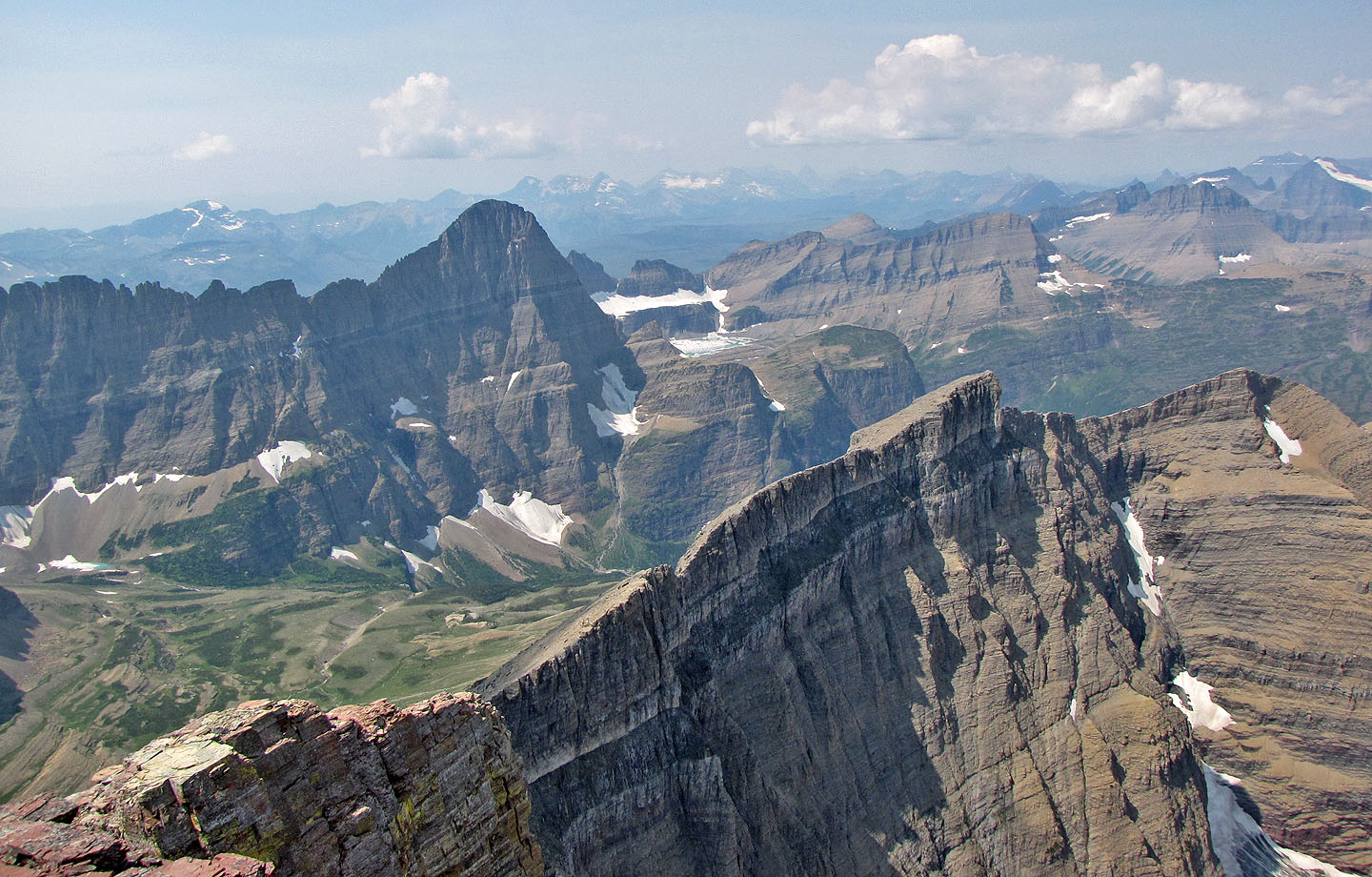
Looking northeast towards Grinnell Lake (centre, mouse over)
Almost on the summit
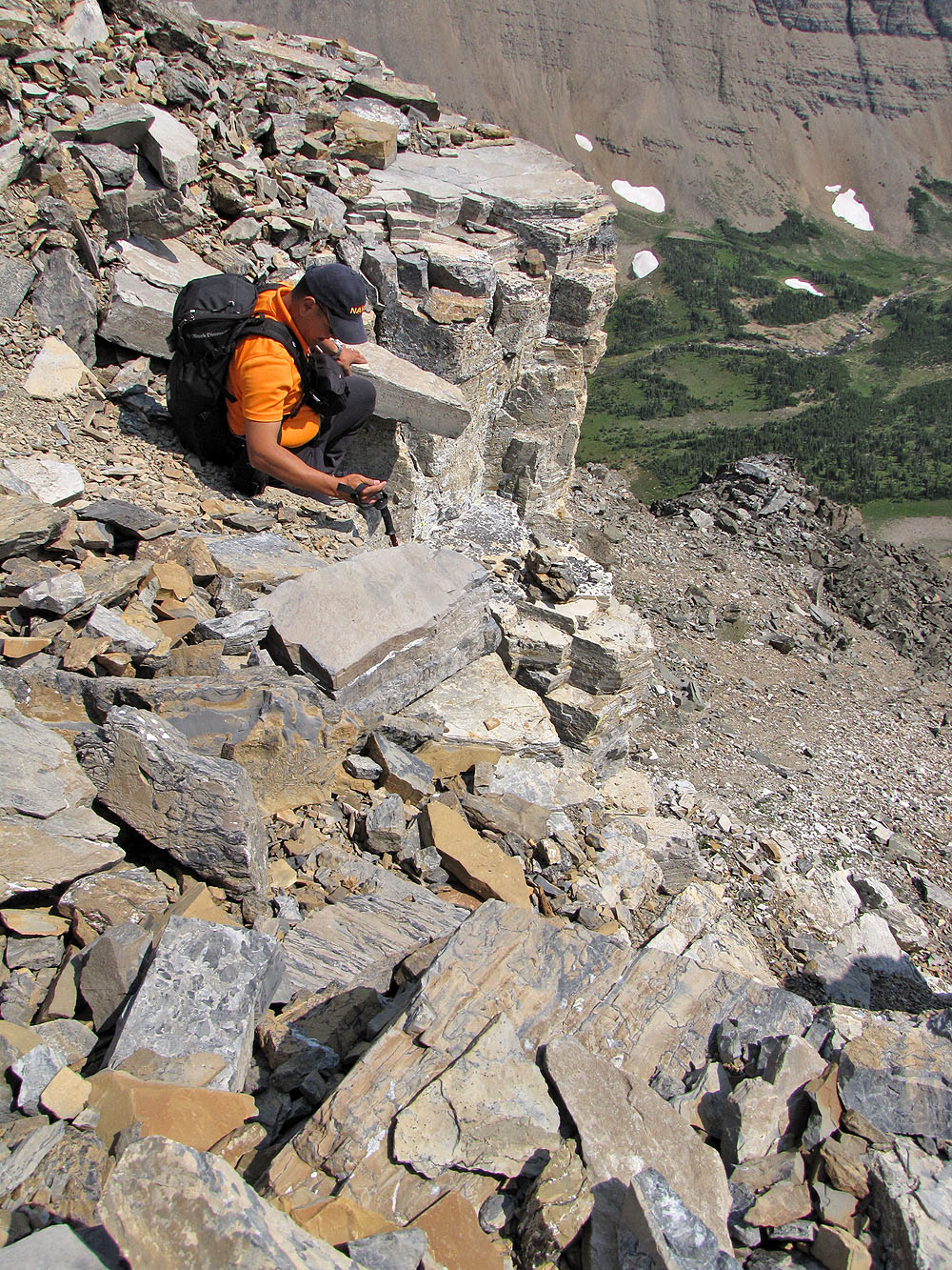
Steep rock just below the summit
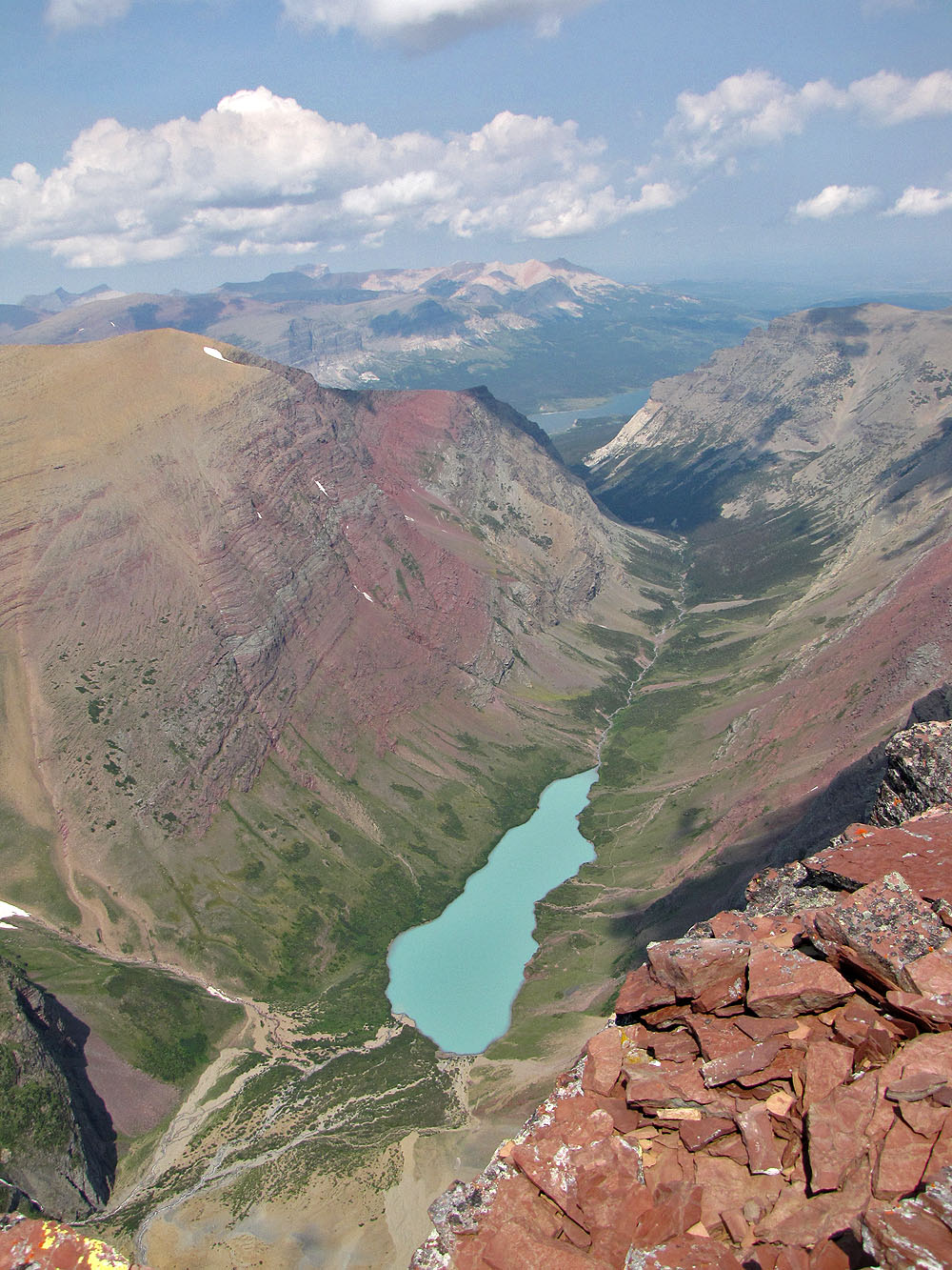
Cracker Lake
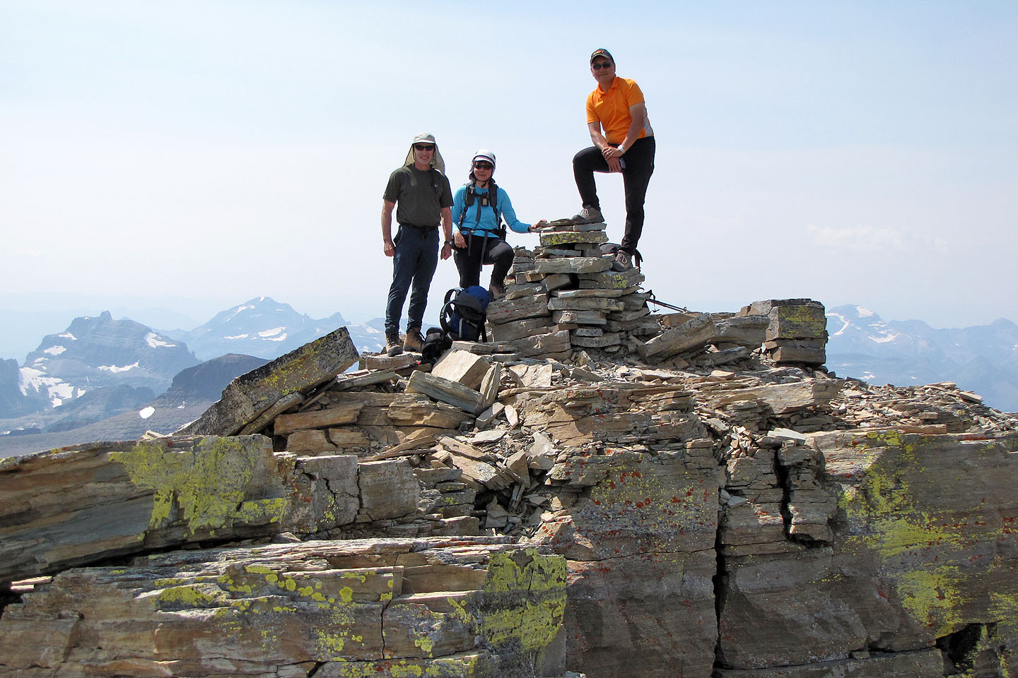
We enjoyed warm weather on top
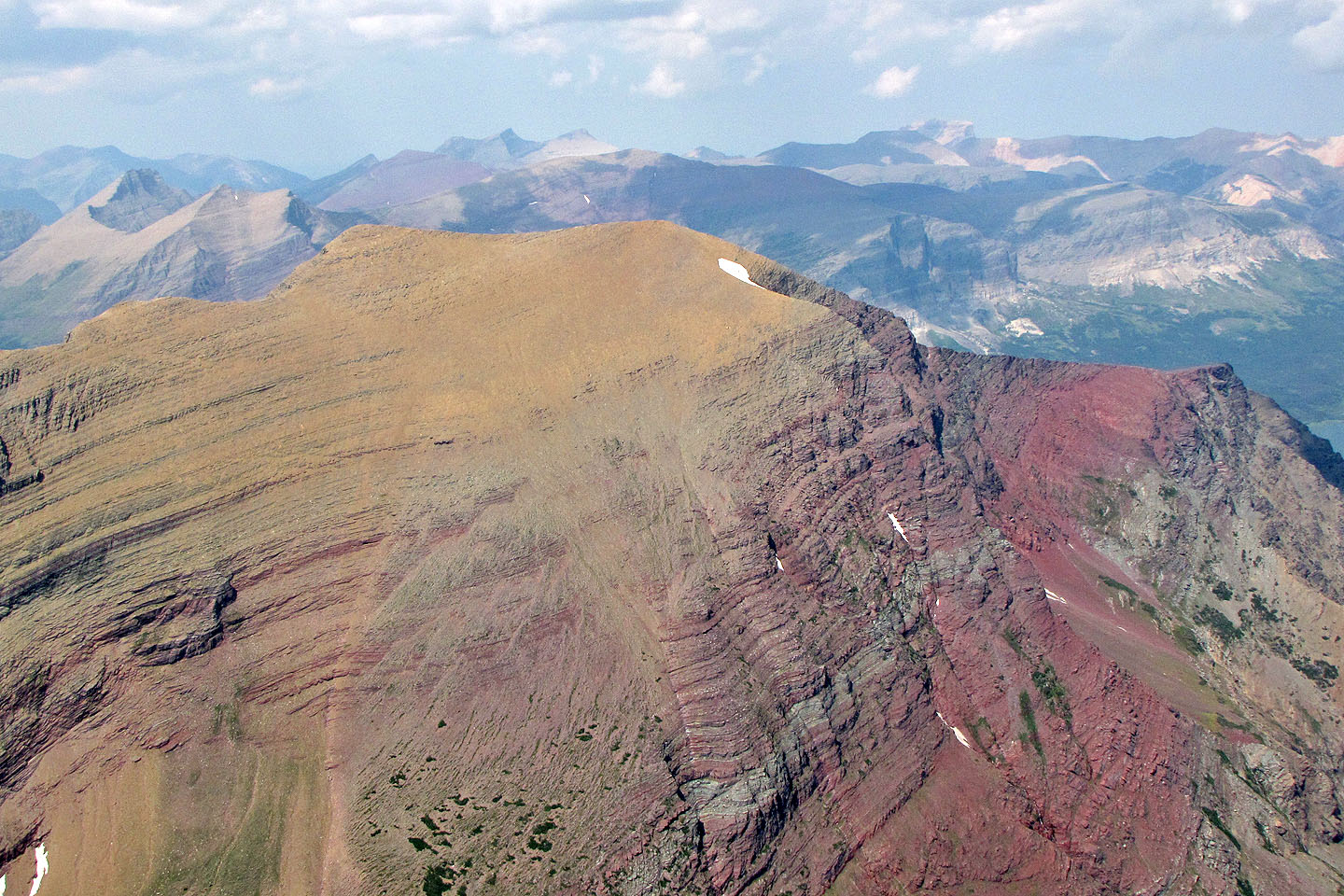
Mount Allen to the north
On the way back, Sonny begins downclimbing the crux
Coming down the second gully
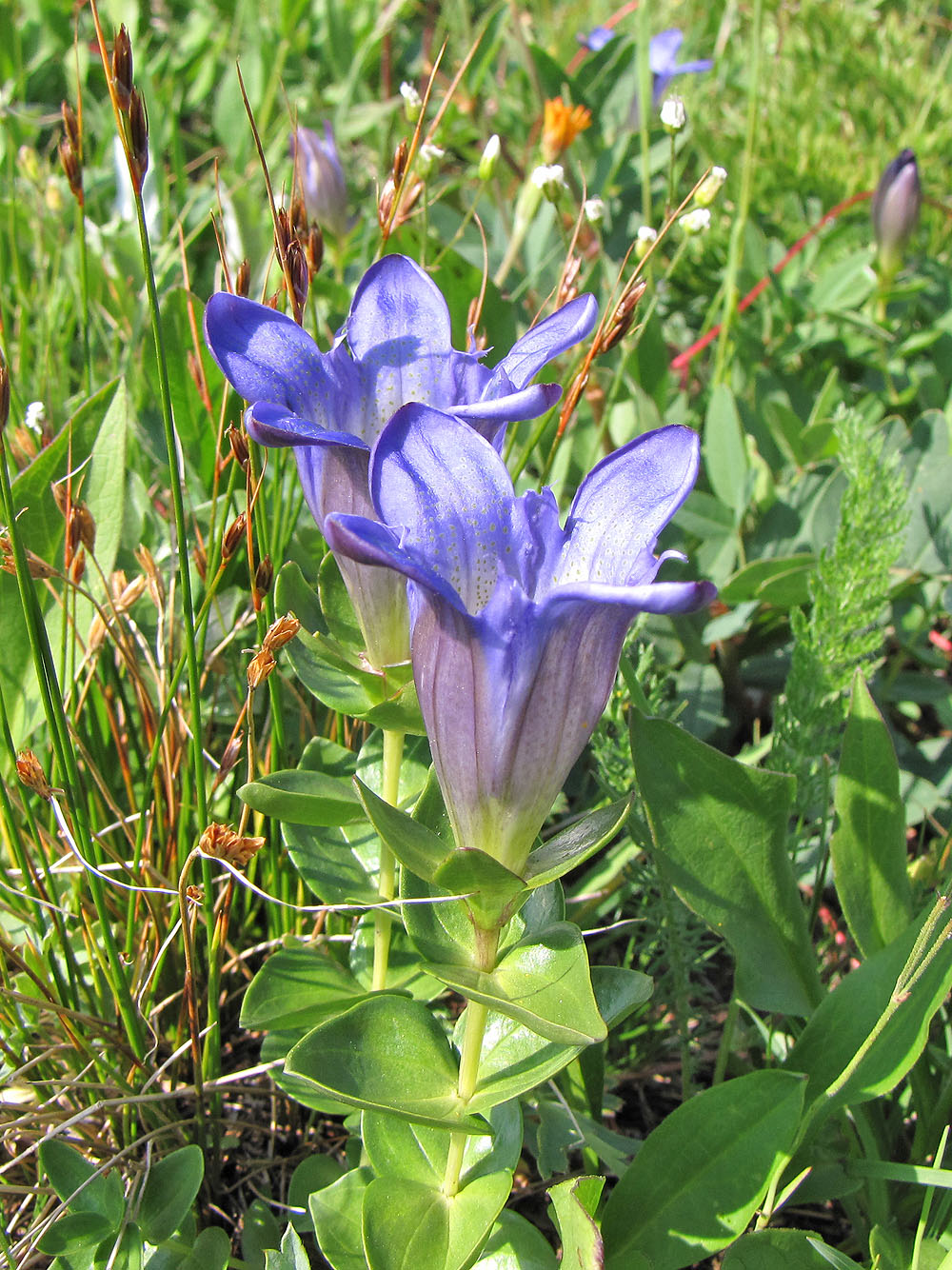
Big Mountain Gentian
We headed back to the trail
Mouse over to see our route
Back at the car on Siyeh Bend
Logan's Pass (9.0 mi, 10,033 ft, 4,140 ft)