bobspirko.ca | Home | Canada Trips | US Trips | Hiking | Snowshoeing | MAP | About
Mount Ascension and Bompart Summit
Helena, Montana
April 16, 2023
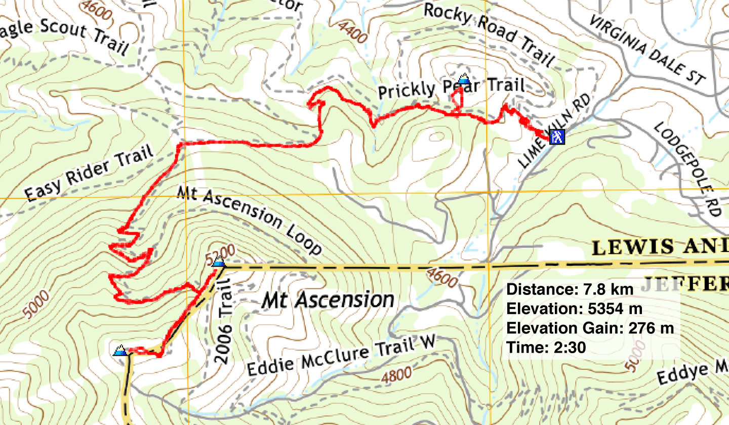
Distance: 7.8 km (4.8 mi)
Cumulative Elevation Gain: 386 m (1266 ft)
Rising modestly from the edge of the City of Helena, Mount Ascension boasts gentle trails that are more likely to garner runners and nature walkers than serious hikers like us. But after driving six hours from Calgary, Dinah and I welcomed stretching our legs on the sparsely wooded slopes.
For a truly tiny trip, we had planned the 3 km loop that Sonny did, but it was not to be. Driving up Arrowroot Dr., a narrow, dirt road, we turned around when we encountered ice a couple of kilometres before the trailhead. We didn't have a backup plan, but Ascension is riddled with paths. We drove back down the road to a trailhead we had noticed. A passerby there assured us we could reach the summit on good trails, although it required navigating several junctions. The out-and-back trip would, however, be longer and have more elevation gain than Sonny's loop.
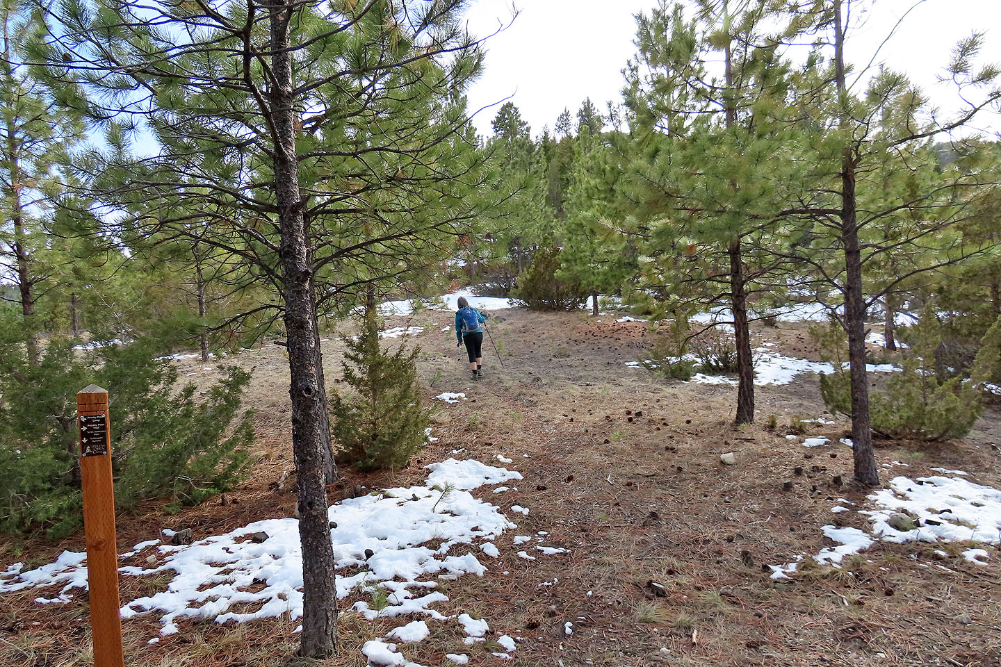
Without a clue on how to ascend Ascension, we stepped onto a dry, dirt path: Prickly Pear Trail. We soon reached a low pass. Left, a ridge runs directly to Mount Ascension but lacks a trail. Right, a brief trail leads to Bompart Summit. We ignored this summit and continued over the pass, dropping down before taking trails left.
Even here, trails didn't lead directly to the summit. Instead they spiraled around the mountain to ascend the snowy north side. The final leg climbed slushy, muddy switchbacks to a saddle with the summit on our left and a high point on our right. We walked to both points. Trees interfere with the panoramic scenes, although the high point – 24 m higher than Ascension – offers marginally better views.
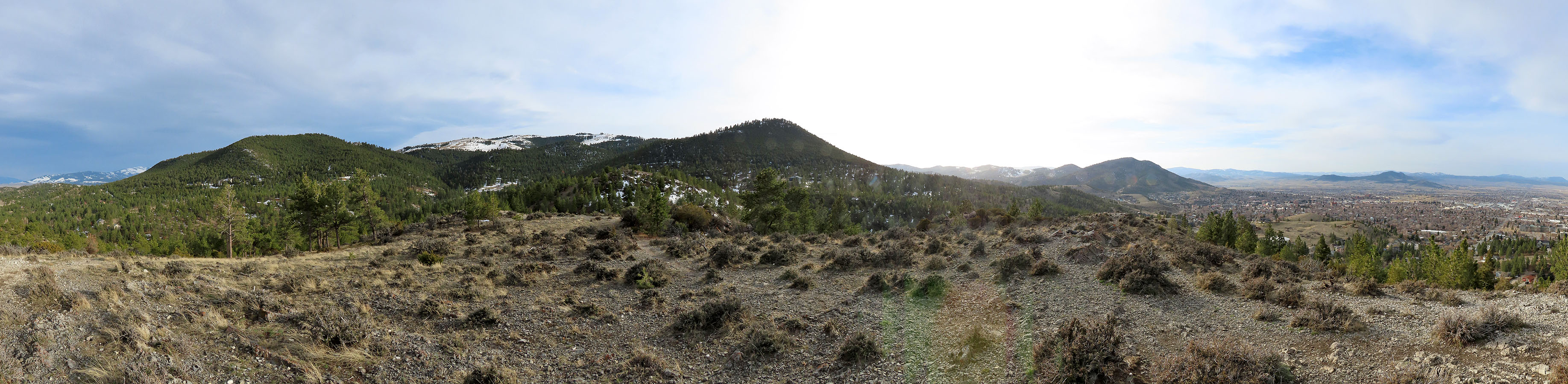
Cold and windy on both tops, we didn't stay long. We turned around and headed back the same way. Back at the pass, I turned to Bompart Summit and reached it in ten minutes. Unlike the other summits, Bompart is free of trees and offers a 360° view but is too low to be inspiring. At 1442 m, it's less than 100 m above the trailhead. I snapped a couple of pictures and quickly caught up to Dinah. We finished our hike and checked into our hotel much later than we expected but satisfied to have found our way up Mount Ascension.
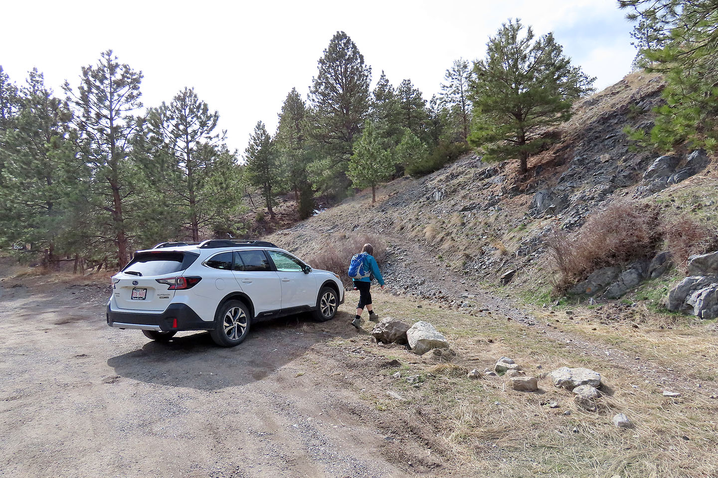
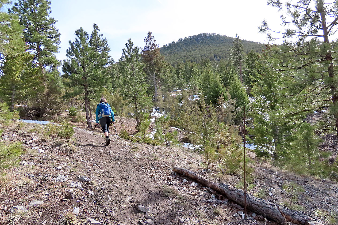
Starting up the trail
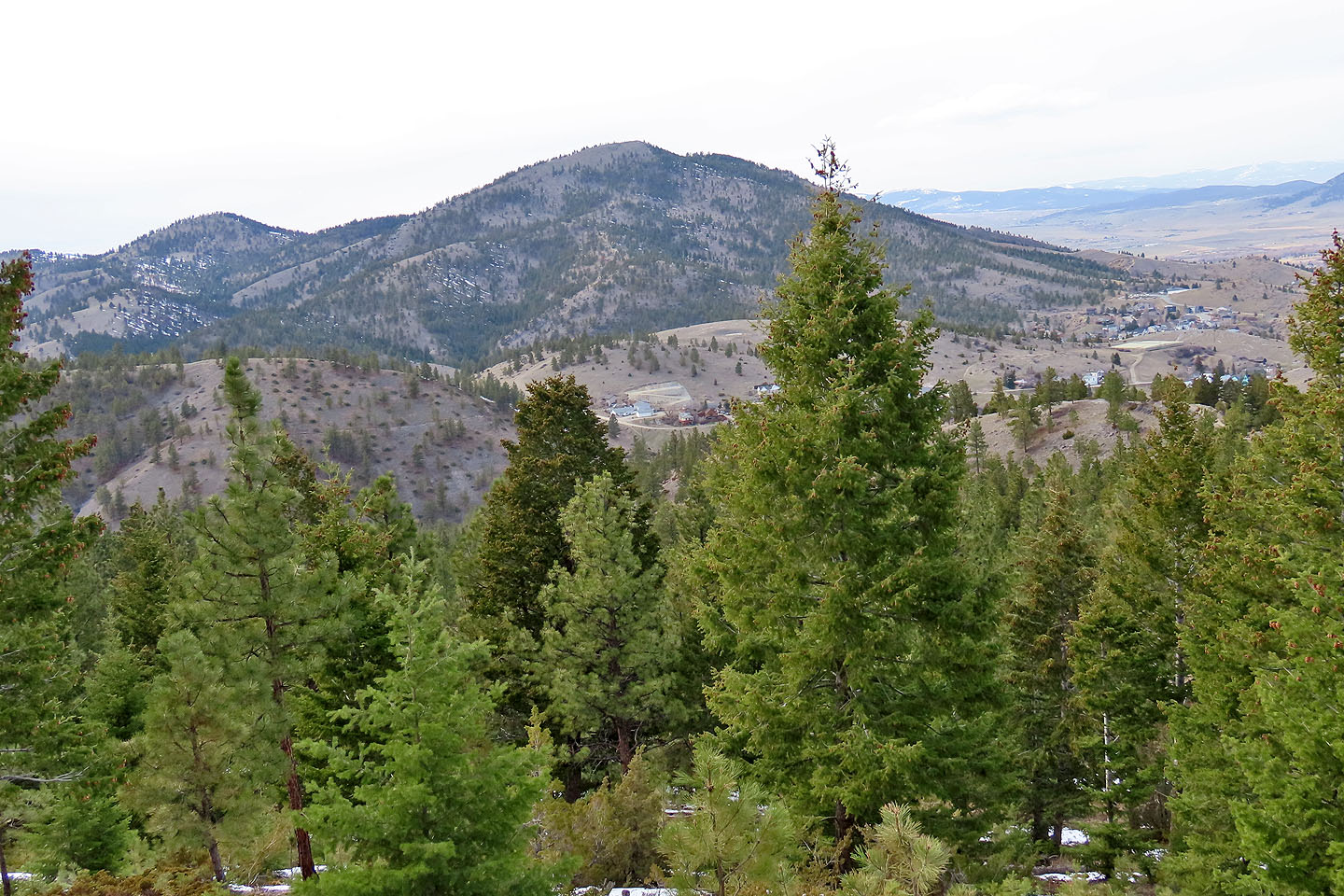
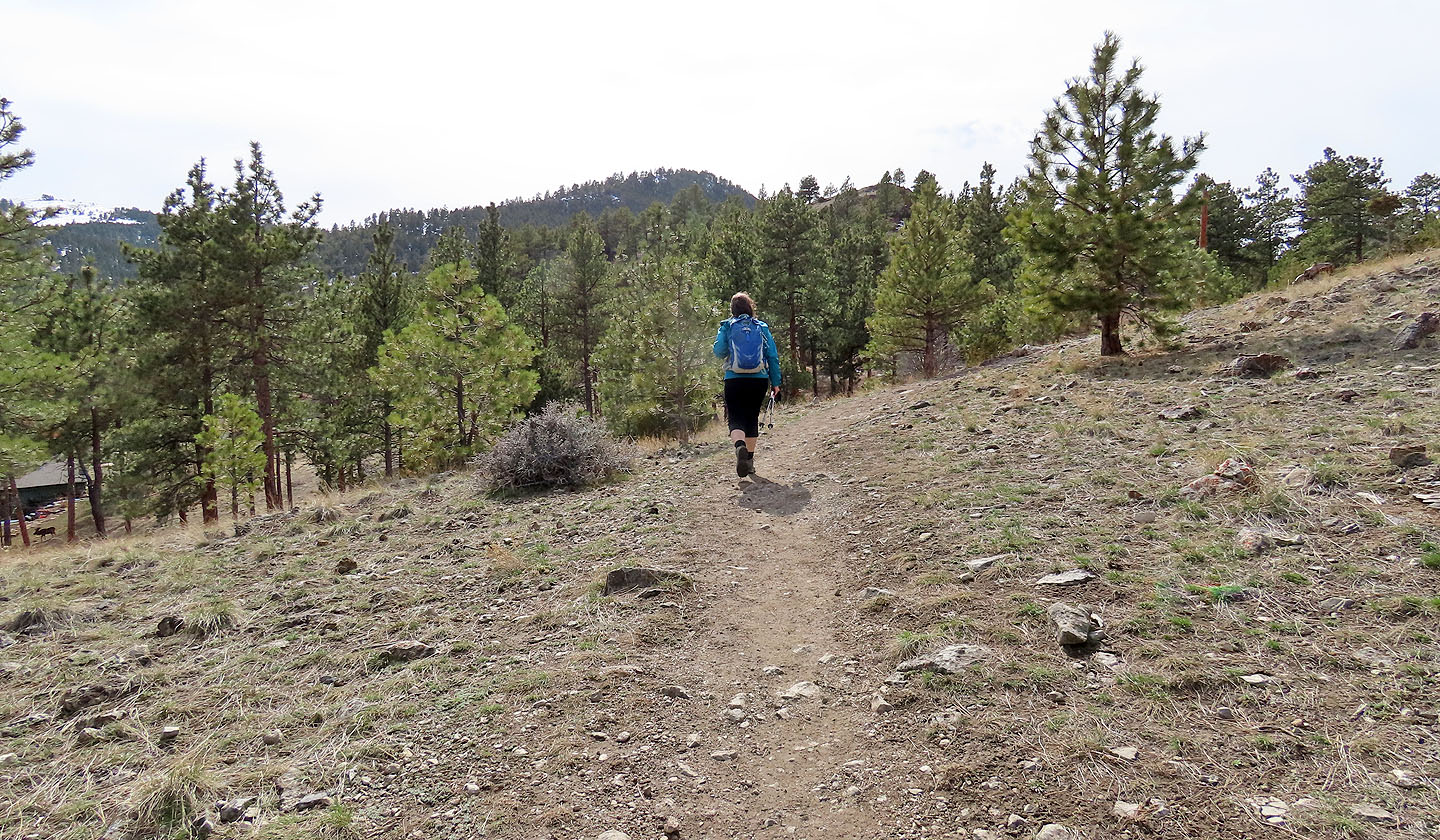 After hiking several minutes, Mount Ascension came into view. It appears close, but the trail went around before ascending the backside
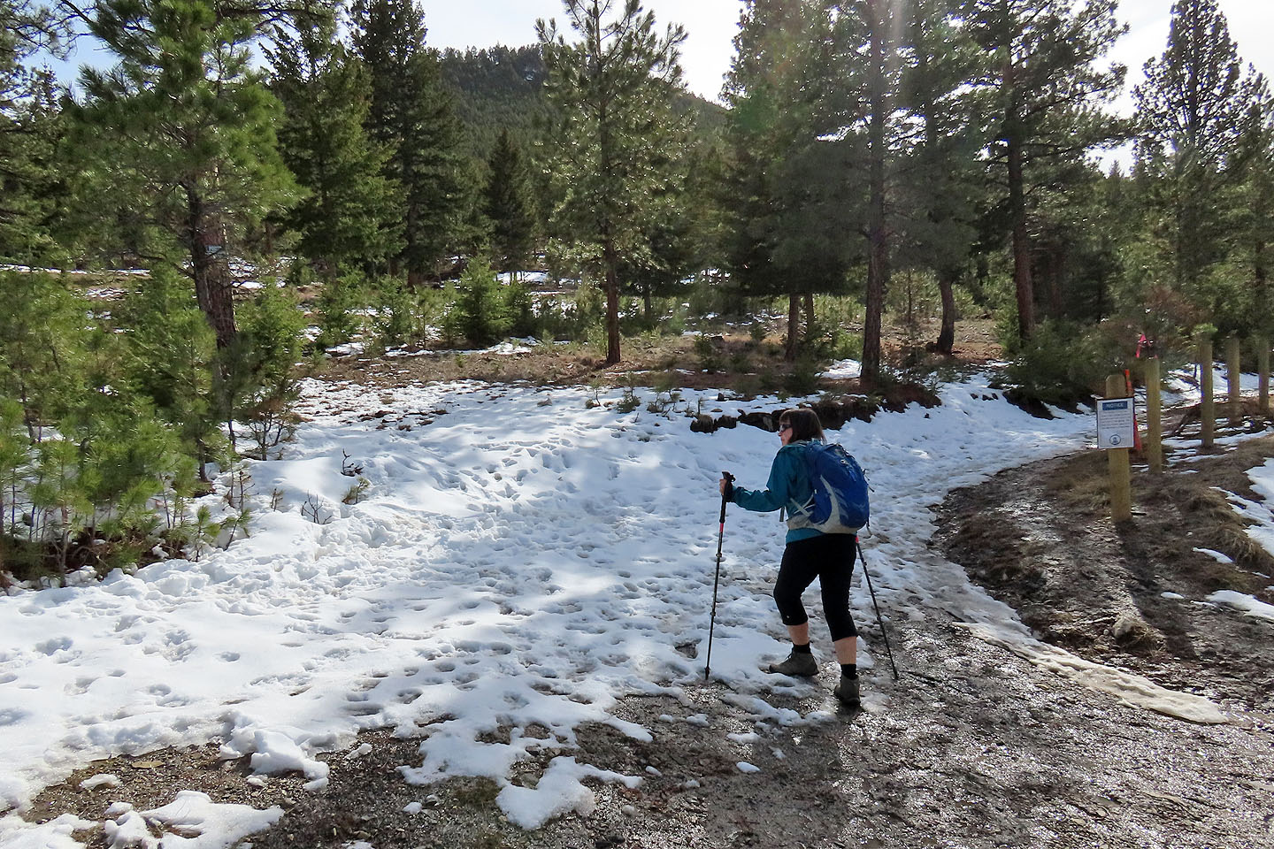
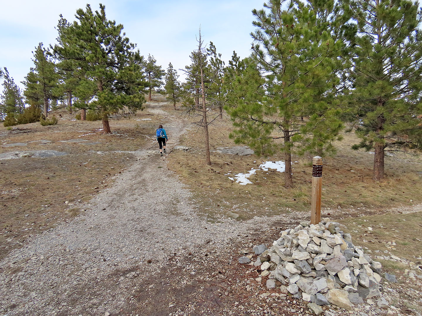
We followed Prickly Pear Trail over a pass. We returned here later to tag Bompart Summit.
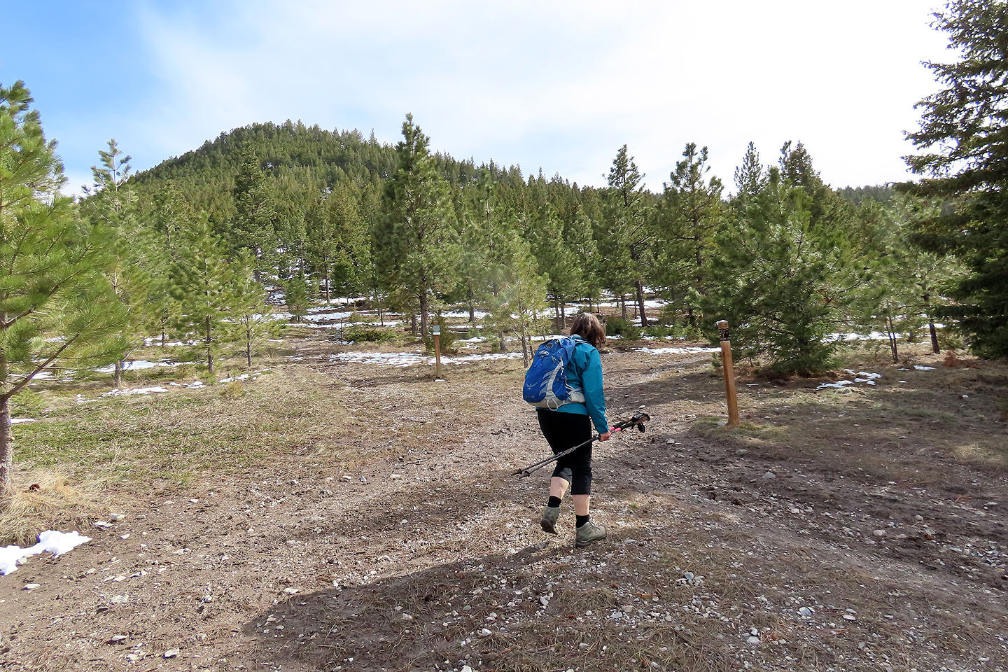
After the pass, we turned onto Easy Rider Connector Trail. Ascension swung back into view.
 Easy Rider Connector crosses private property but the sign (mouse over) says the trail will be rerouted
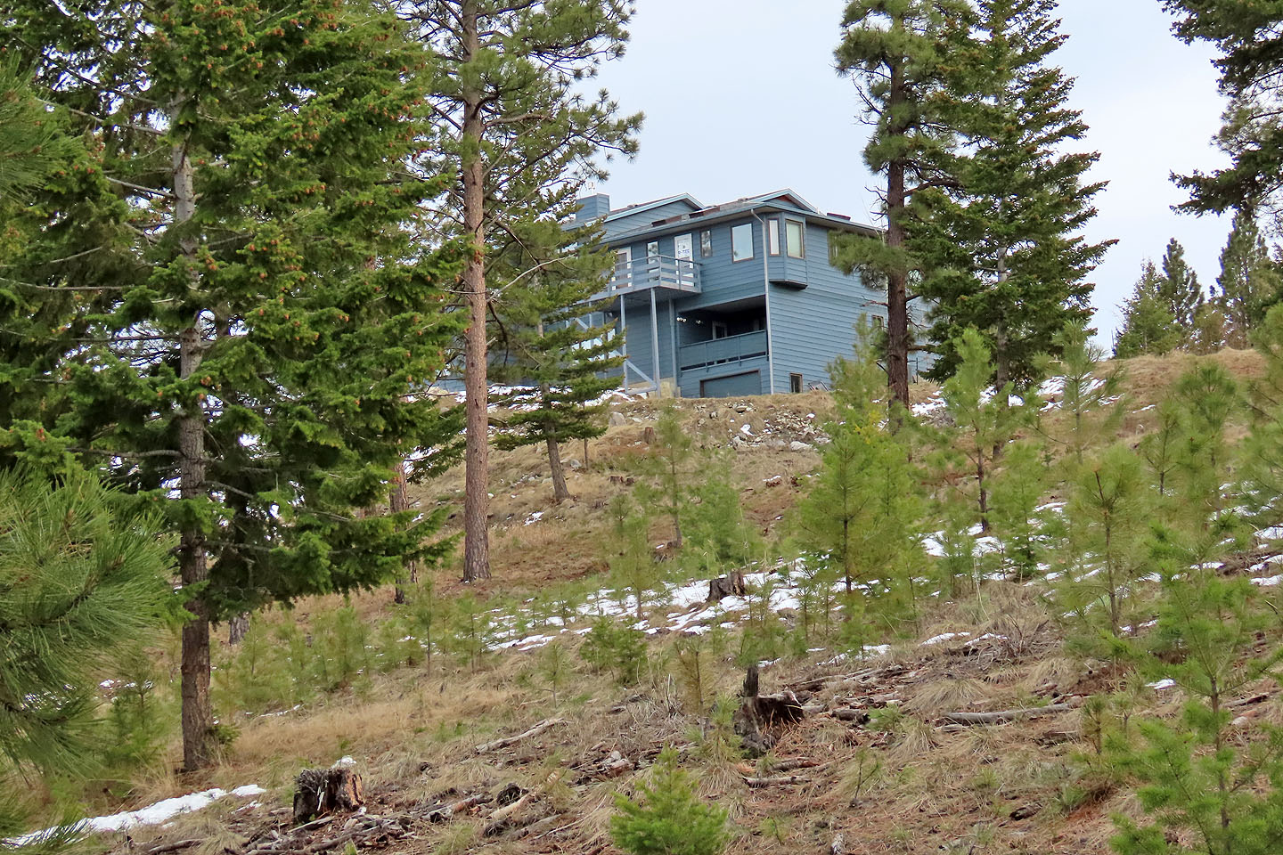
A nearby house destroys any sense of remoteness
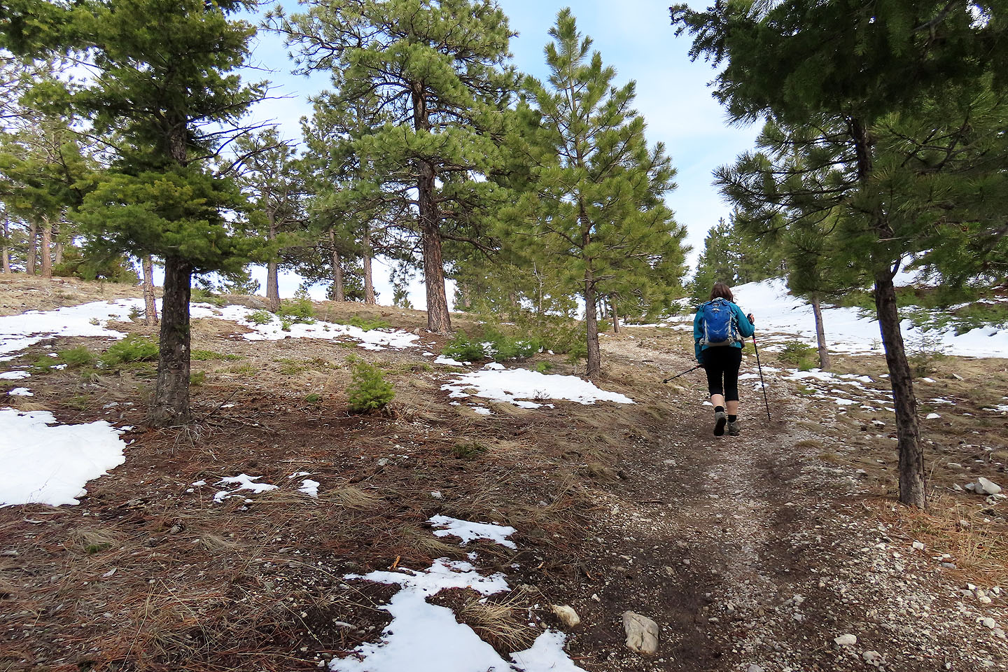
The trail turns and heads toward Ascension
A break in the trees allows a view of Mount Helena
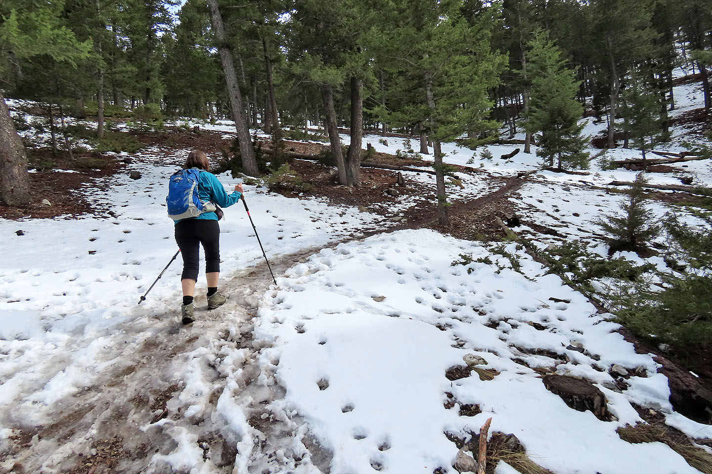
The trail became slippery with mud and slush
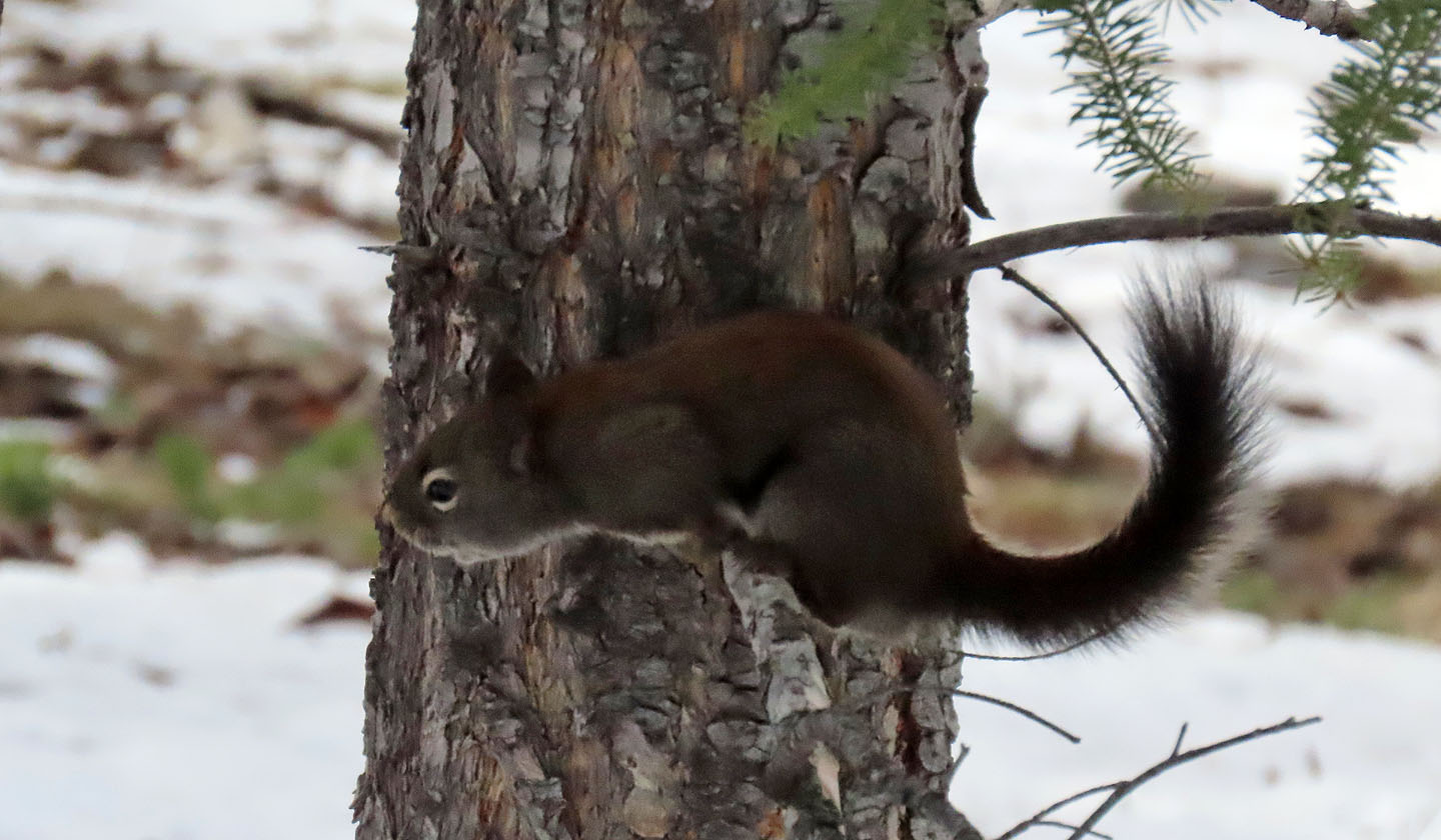 We saw – and heard – several squirrels along the trail
Coming up to the saddle
On the saddle heading to the summit
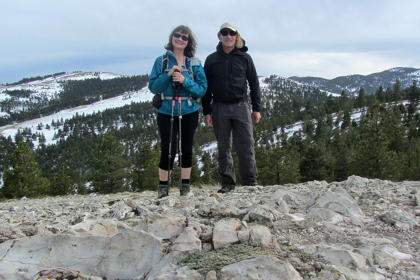
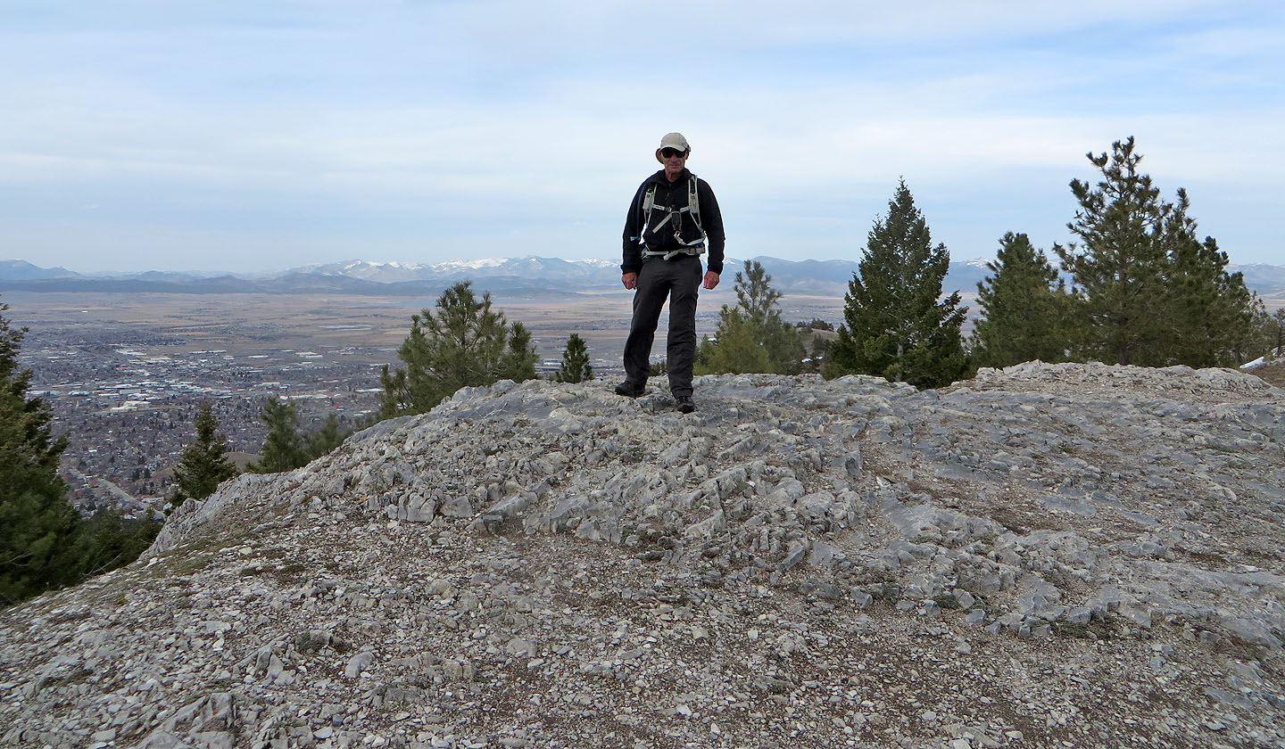
Standing on top of Ascension
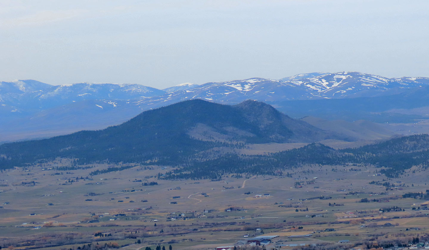
Scratchgravel Hills lie north
After returning to the saddle, we went to the high point
Standing on the high point. City of Helena seen left.
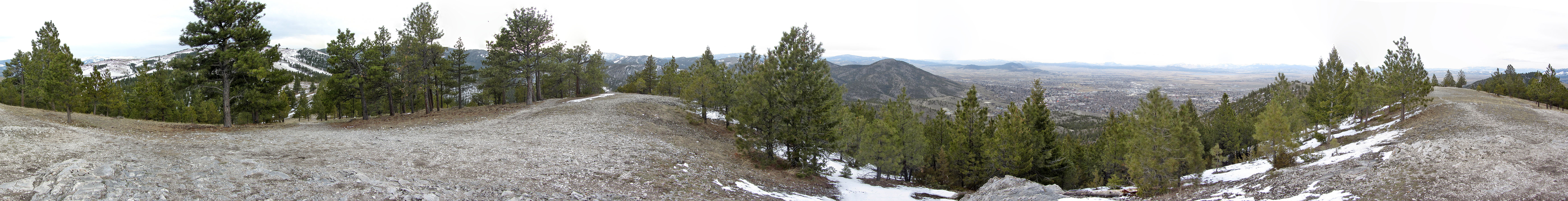
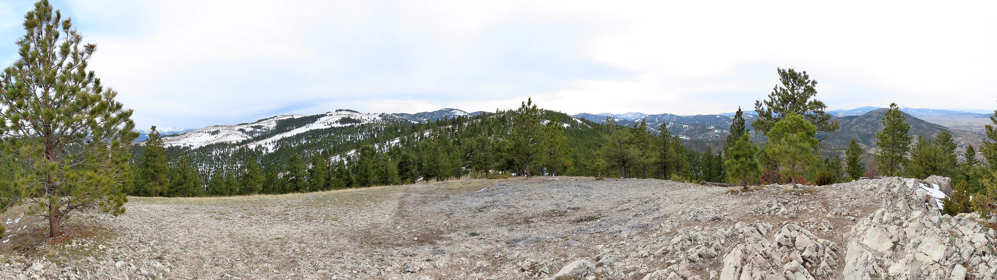
360° panorama from the high point
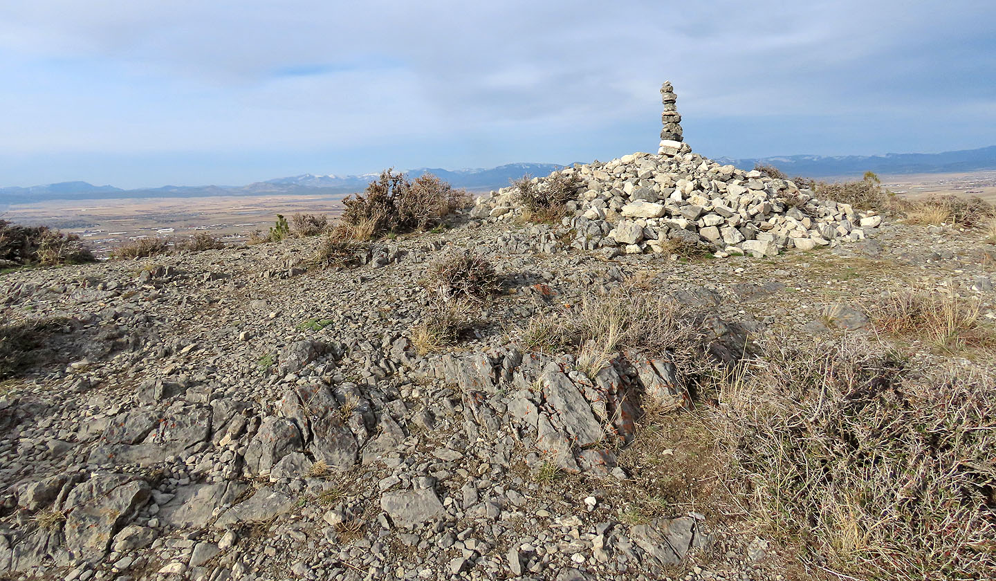
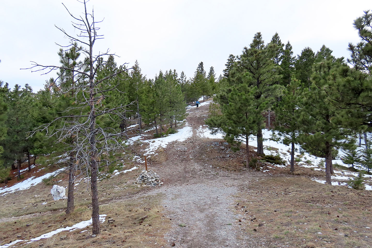
After returning to the pass I went to Bompart Summit
Looking west at Ascension from Bompart
 Mount Helena (4.8 mi, 5354 ft, 906 ft)