bobspirko.ca | Home | Canada Trips | US Trips | Hiking | Snowshoeing | MAP | About
Broken Top and Big Cinder Butte
Craters of the Moon National Monument and Preserve, Idaho
September 16, 2022
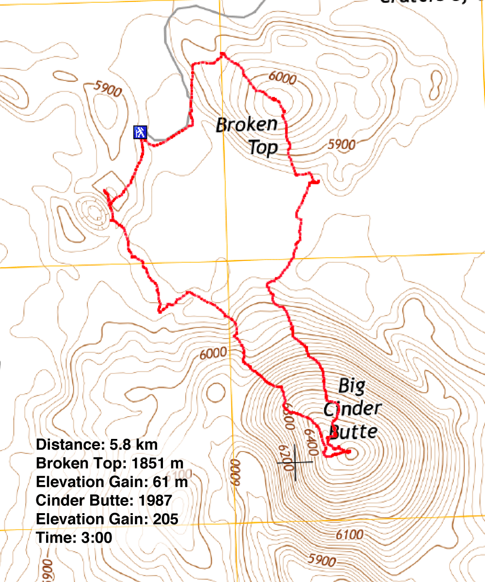
Distance: 5.8 km (3.6 mi)
Cumulative Elevation Gain: 295 m (968 ft)
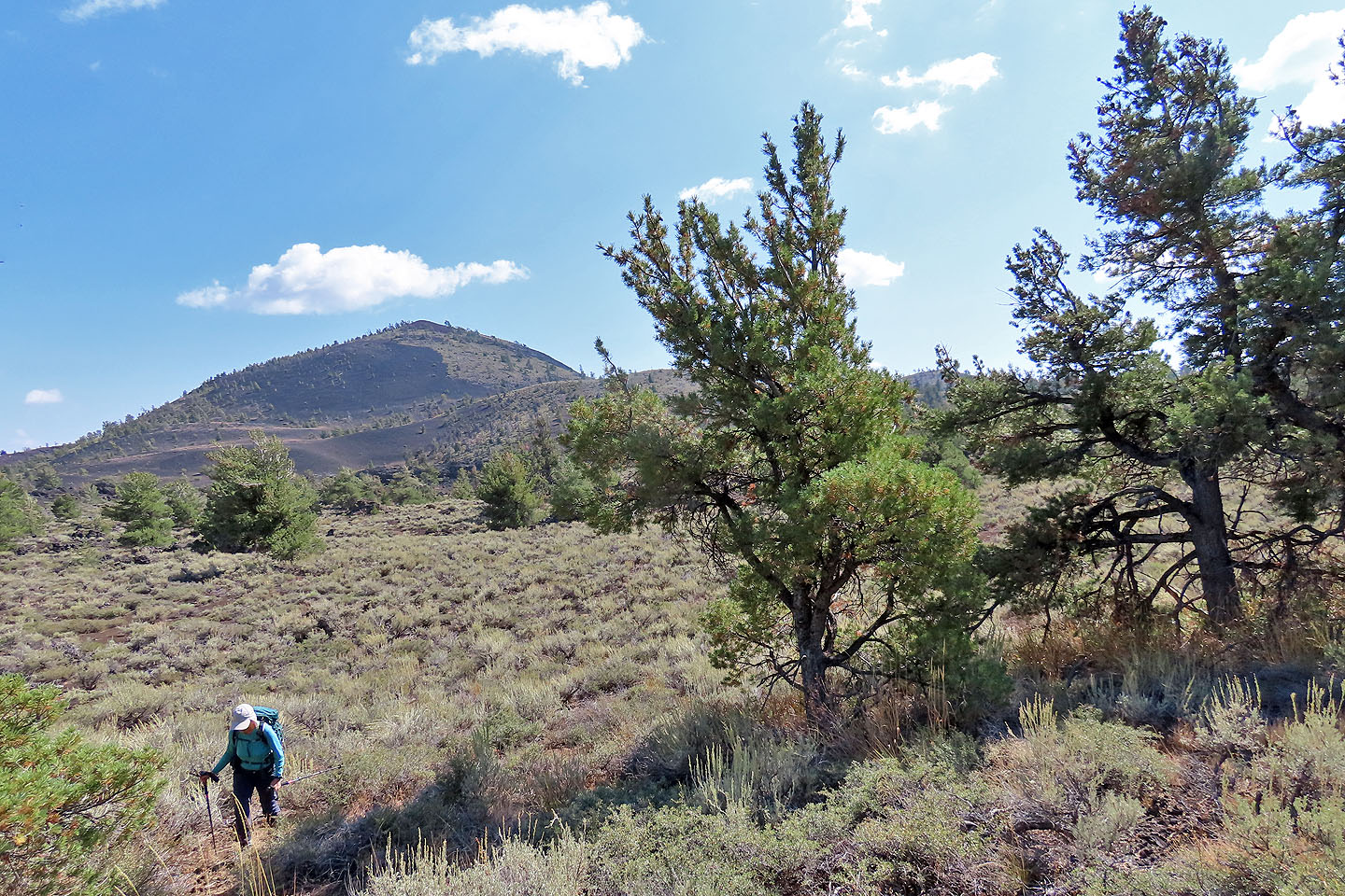
Taking a page, a web page that is, from Sonny Bou, Dinah and I loosely followed his climbs in Craters of the Moon, a volcanic area that a geologist described in 1923 as “The surface of the moon as seen through a telescope.” Broken Top and Big Cinder Butte both offer easy ascents. The cinder cones offer no difficulties beyond having to go around desert scrub.
We parked at the end of a spur road in the park, the trailhead for both Broken Top and Tree Molds. Broken Top Trail circles the base of the cinder cone, but one can probably hike up or down the cone anywhere. We reached the summit half an hour after starting. Spending little time on top, we proceeded down the other side. Next stop: Buffalo Caves.
Buffalo Caves sit at the bottom of the south slope of Broken Top. The caves are closed to “protect bats and because of environmental conditions.” I climbed down to one of the entrances to peer inside a cave before we continued to Big Cinder Butte.
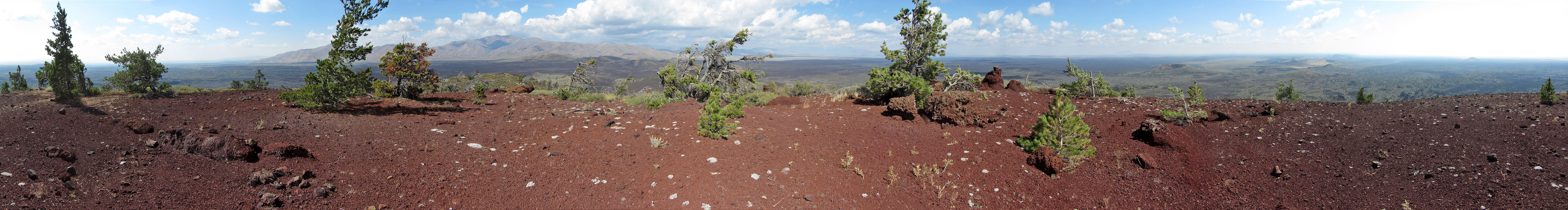
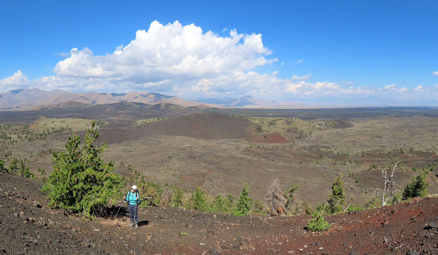
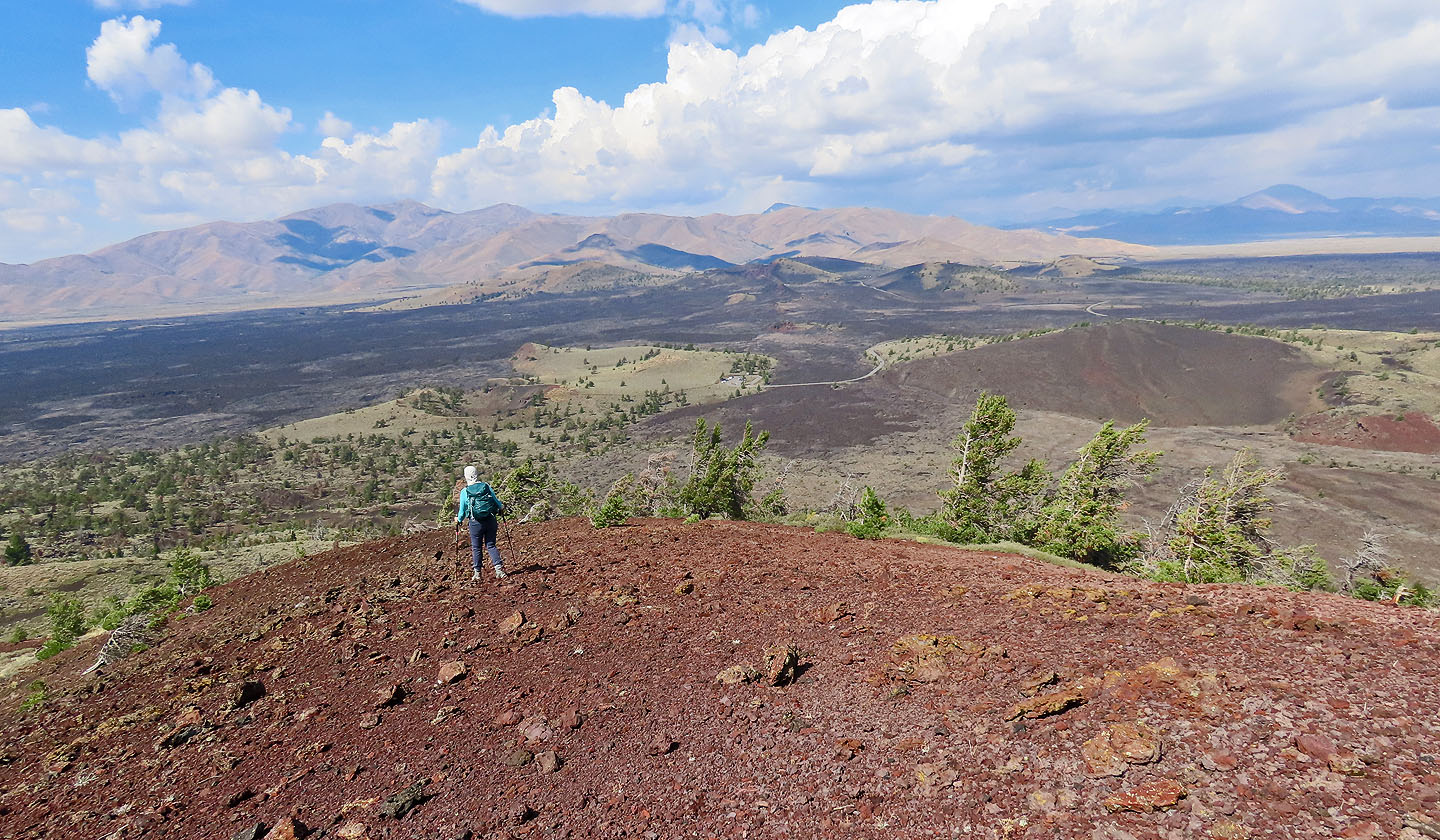
We soon covered the 400 m of lava flats to reach the base of Big Cinder and started up the north slope. Our boots slipped on the soft scoria or cinder stones, and we sought larger rocks for better purchase. But we climbed steadily, rising well above Broken Top. Just below the summit, we were amazed to see red scoria outcrops. These were more interesting than the broad summit where views were interrupted by a few trees.
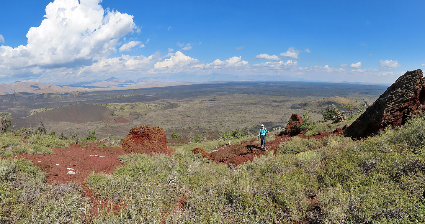
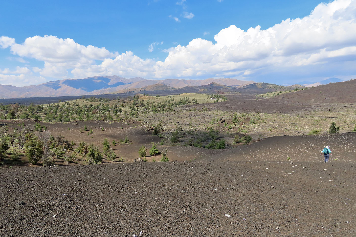
From the top of Big Cinder, we started down the northwest slope. Instead of heading to the parking lot, we aimed for the unnamed little crater west of it. We quickly descended on soft cinders, crossed mixed terrain of lava and vegetation, and climbed to the top of the unnamed crater. It gave us a fine view of Broken Top and Big Cinder Butte before we followed the short trail back to the parking lot.
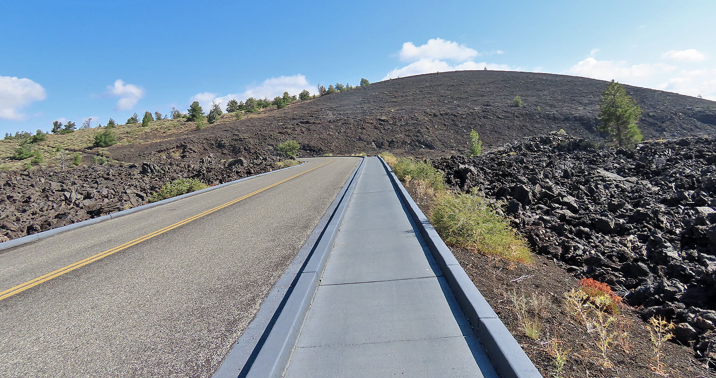
A sidewalk from the parking lot leads to Broken Top
Dinah follows a trail that runs around the base of Broken Top
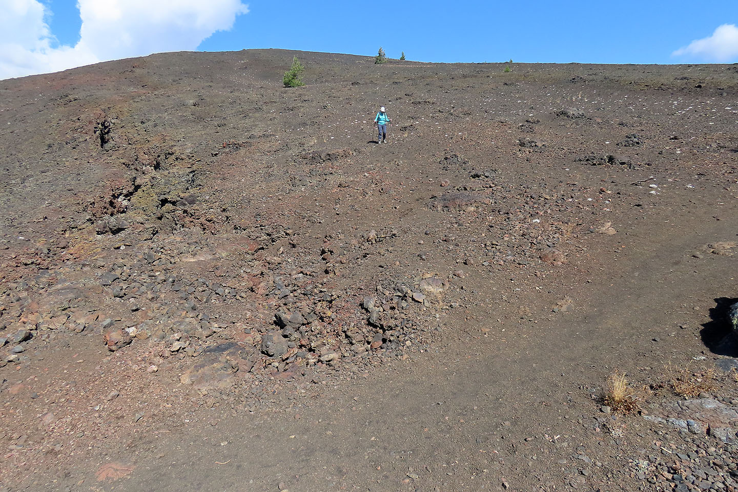
We soon left the trail and started up a gentle slope
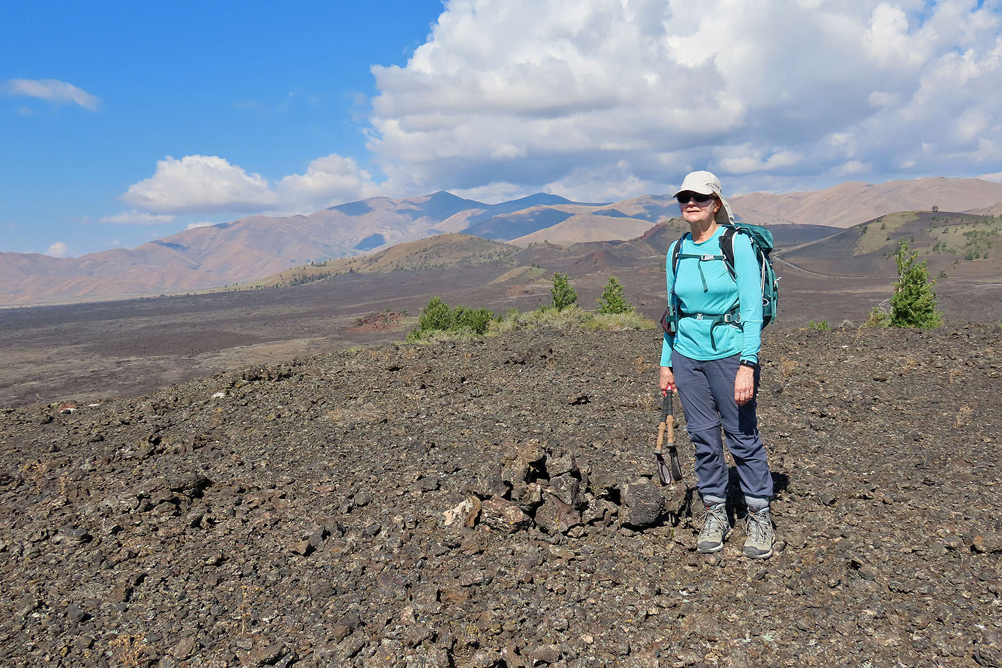
A few minutes later we were on the modest summit of Broken Top
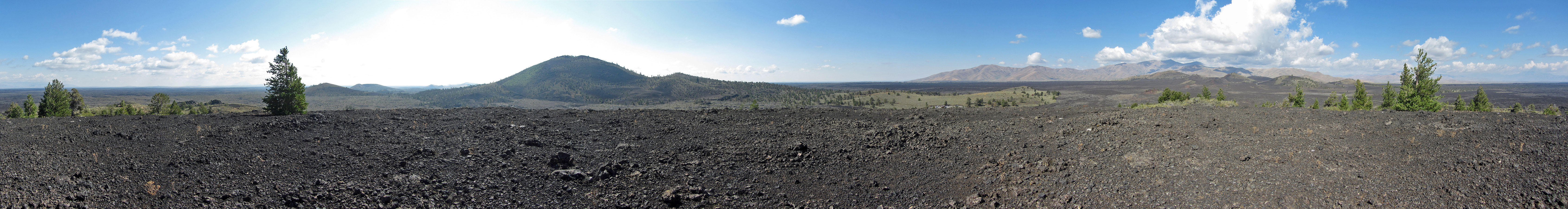 360° panorama from the top
From the top, we headed to Buffalo Caves in front of Dinah. Big Cylinder Butte Fills the background.
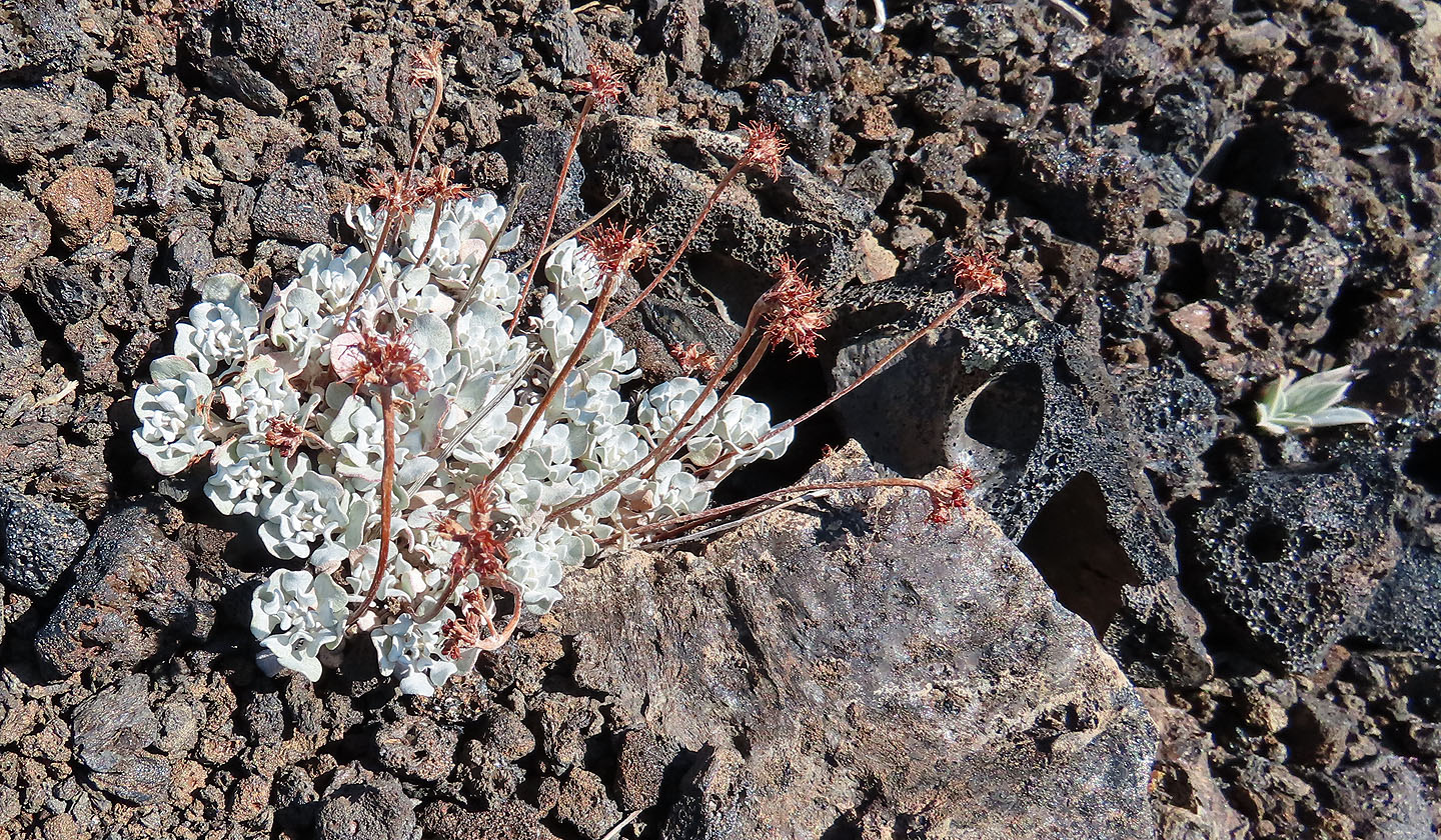
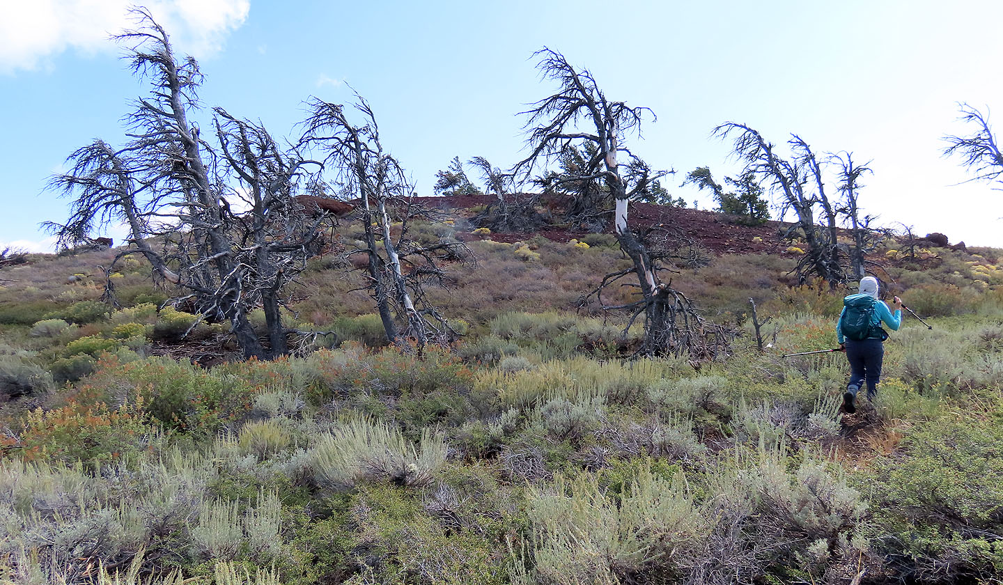
Plants manage to grow among the cinder rocks
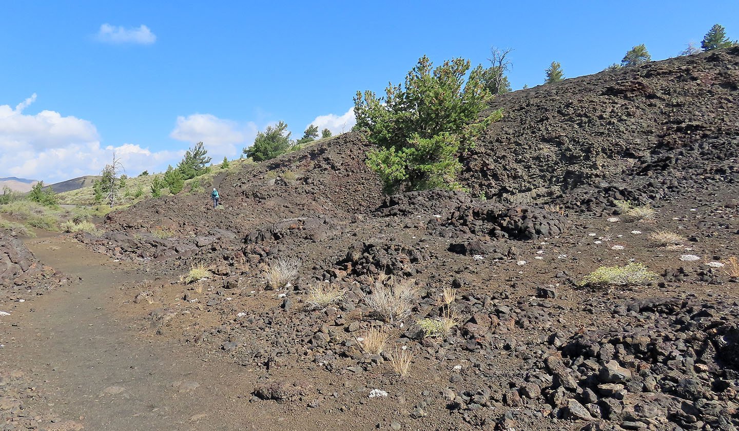
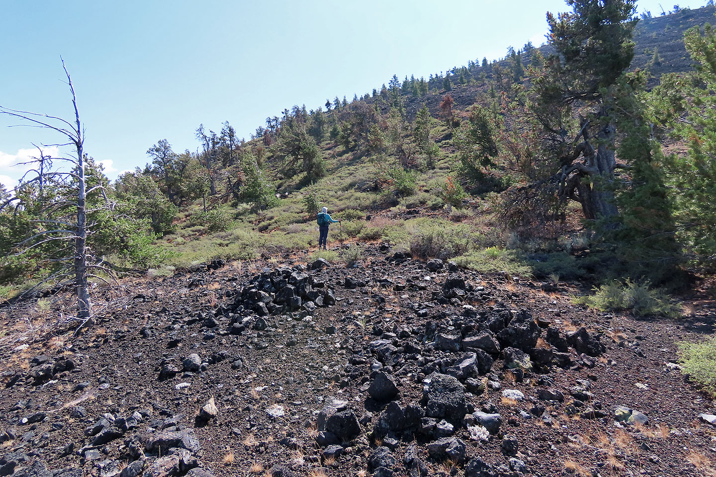
I waited on the trail for Dinah
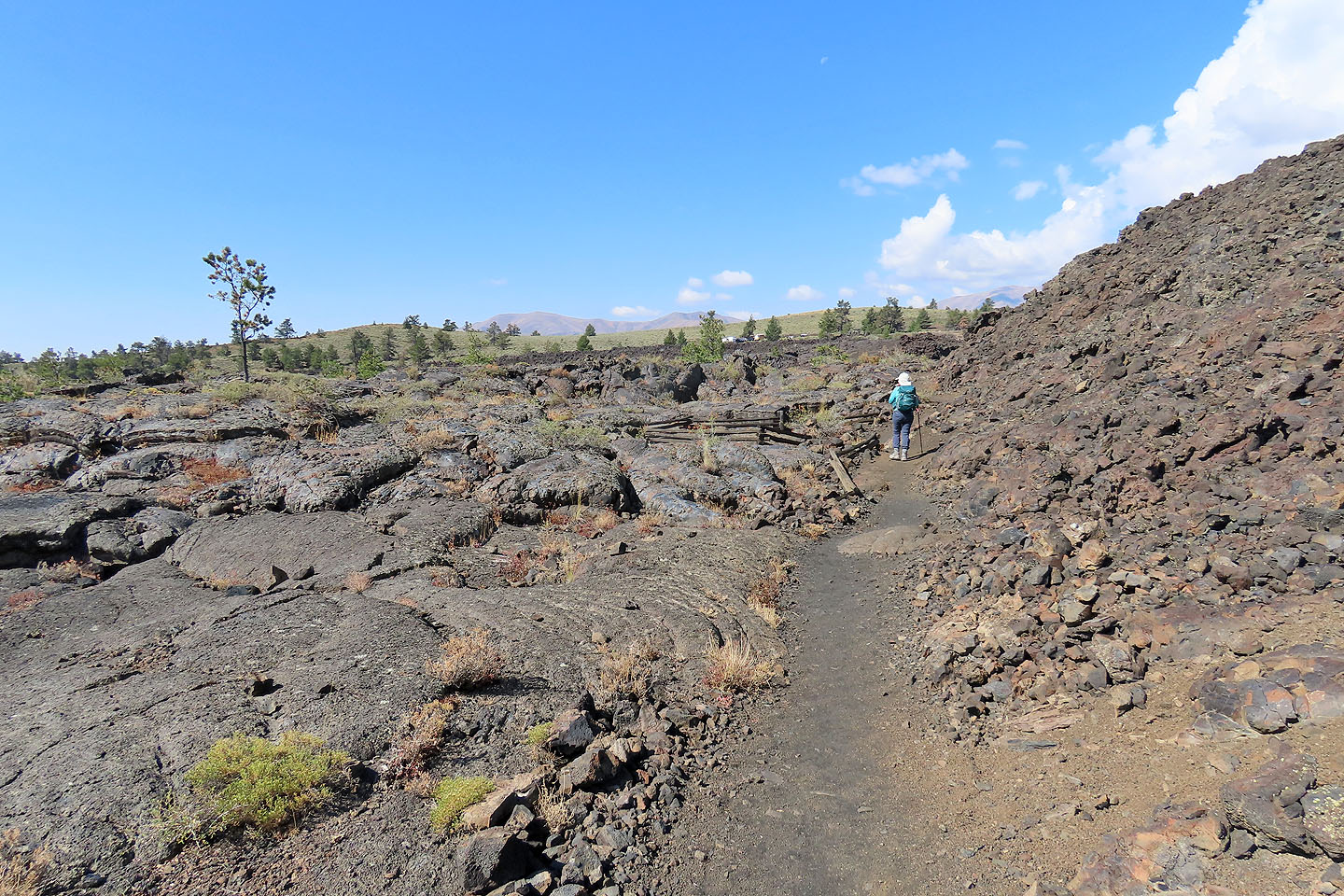
The trail runs back to the parking lot but we visited Buffalo Caves
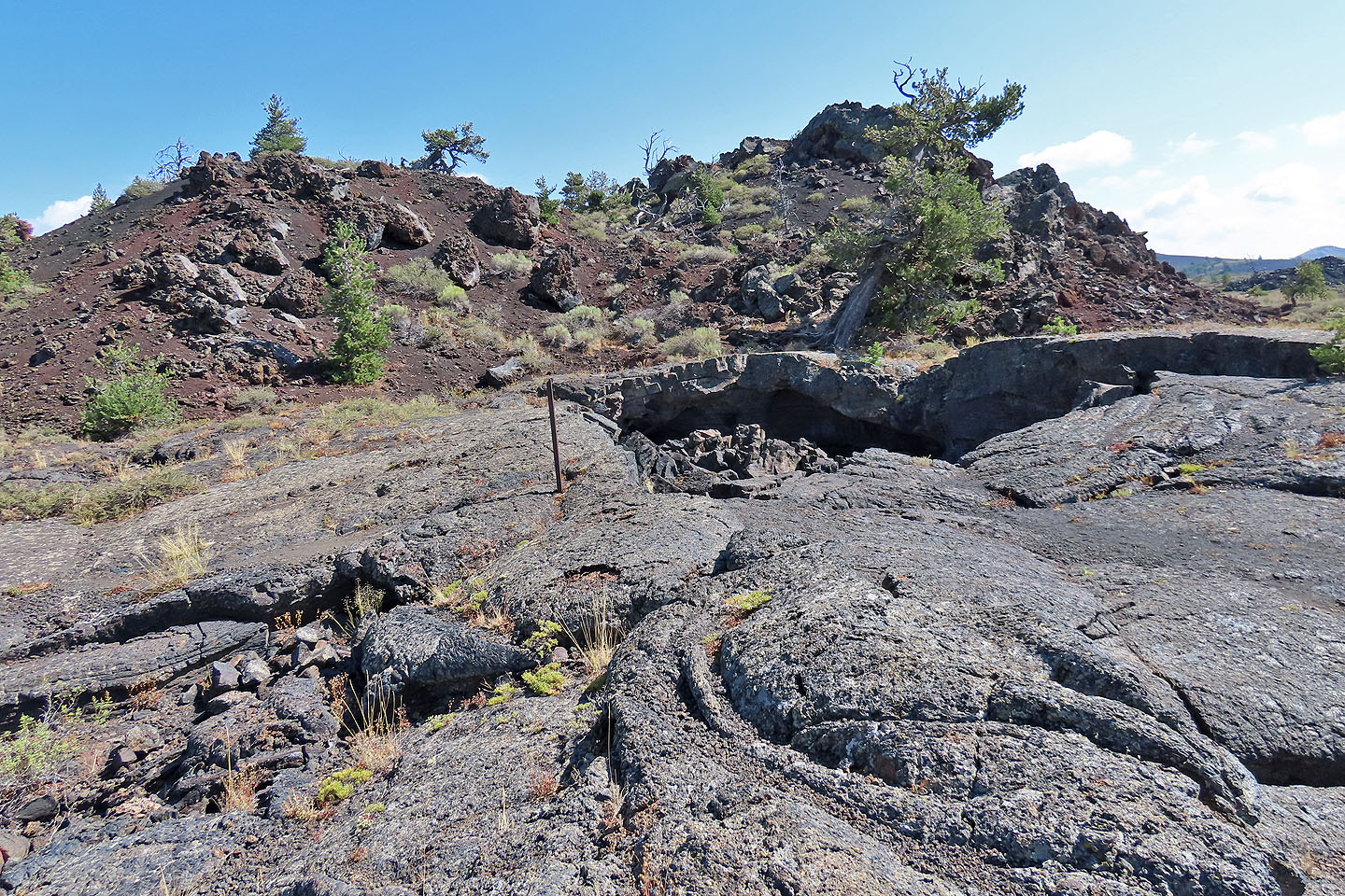
Buffalo Caves
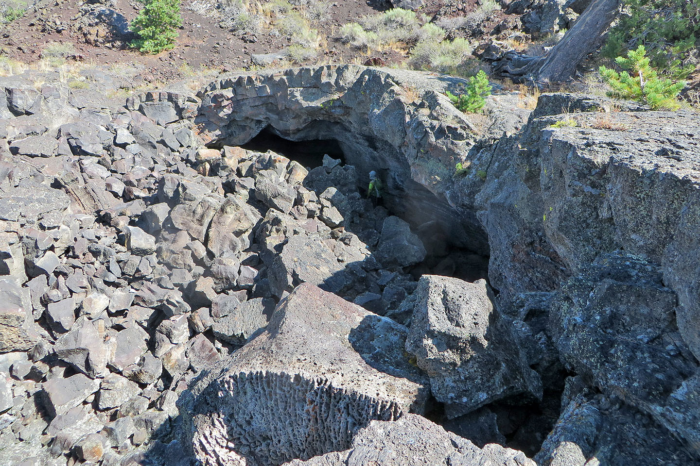
I went to one of the entrances
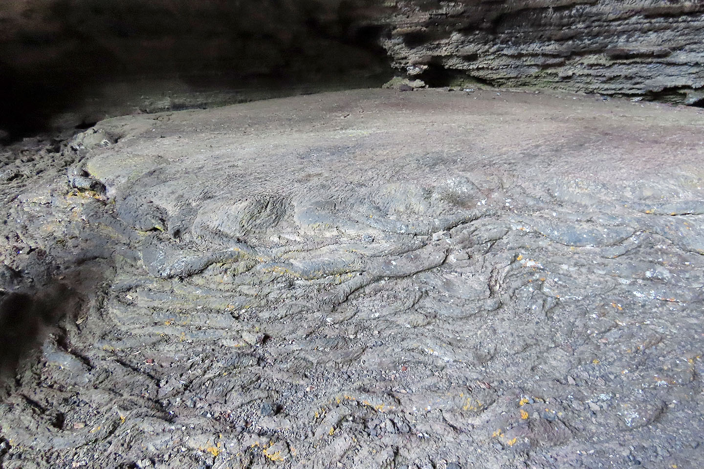
A look inside
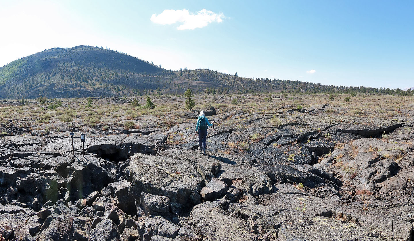
From the caves we set for Big Cinder Butte
Crossing the lava flats to the base of the butte
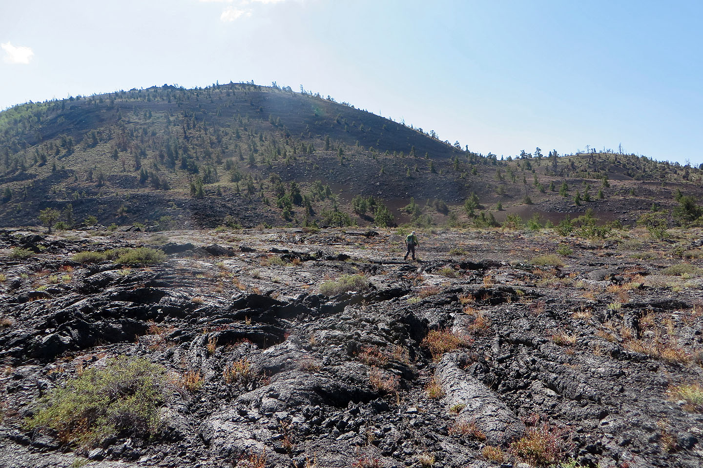
Dinah ponders the best way up the slope
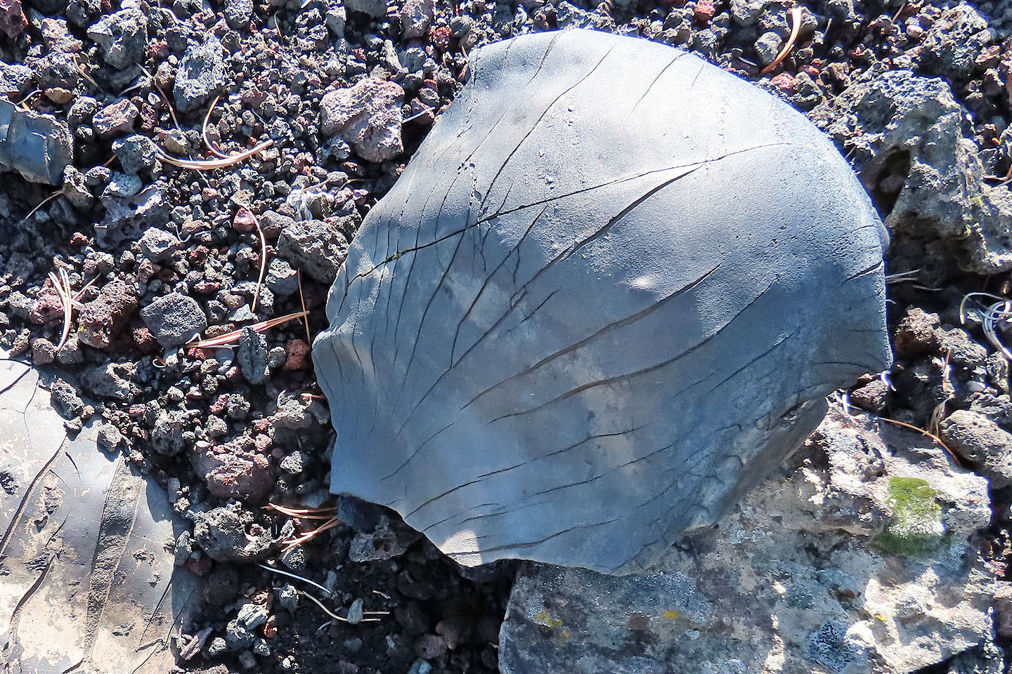
I'm guessing this a lava bomb, lava ejected from a volcano and cooling in the air
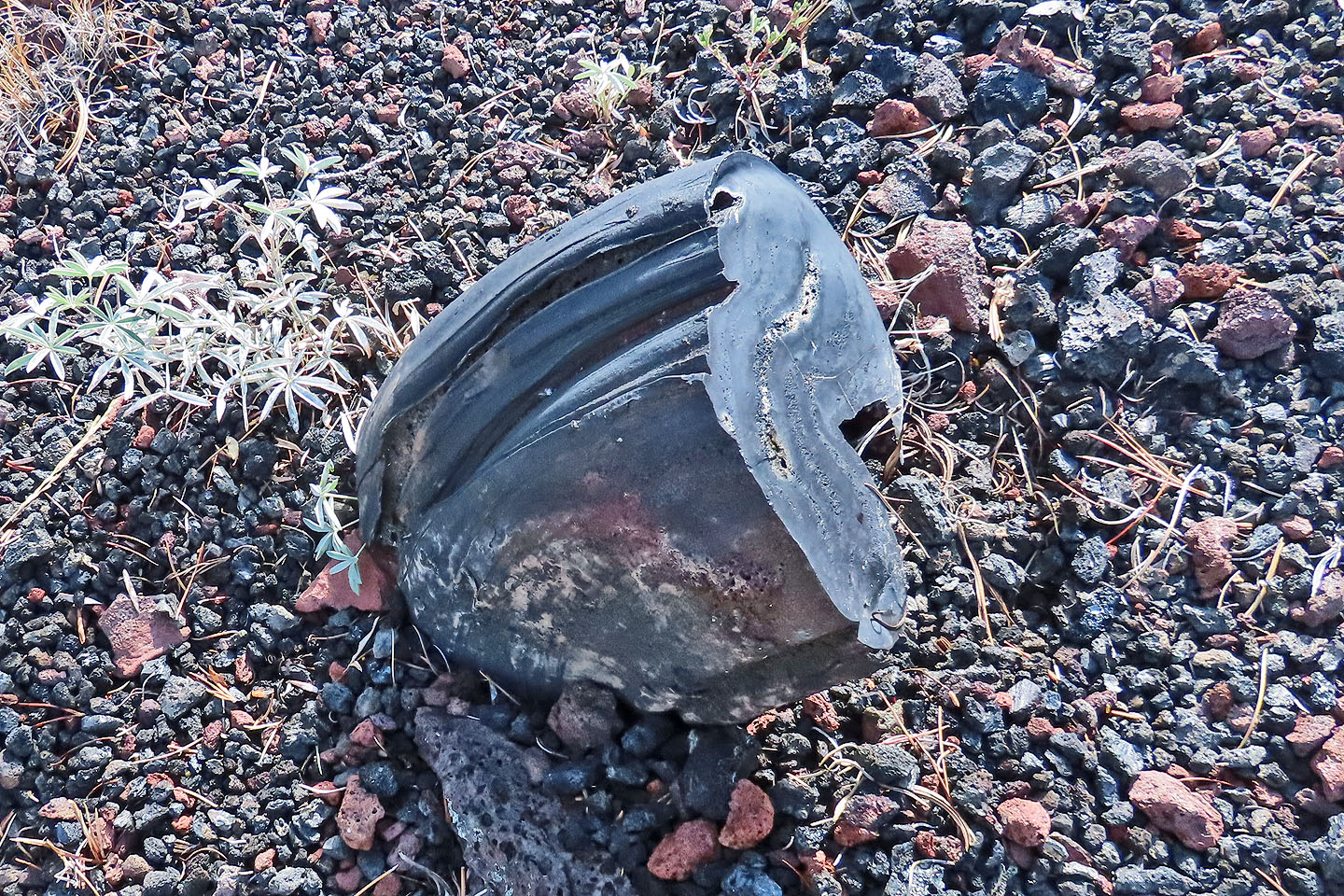
Another lava bomb
Looking back at Broken Top (centre)
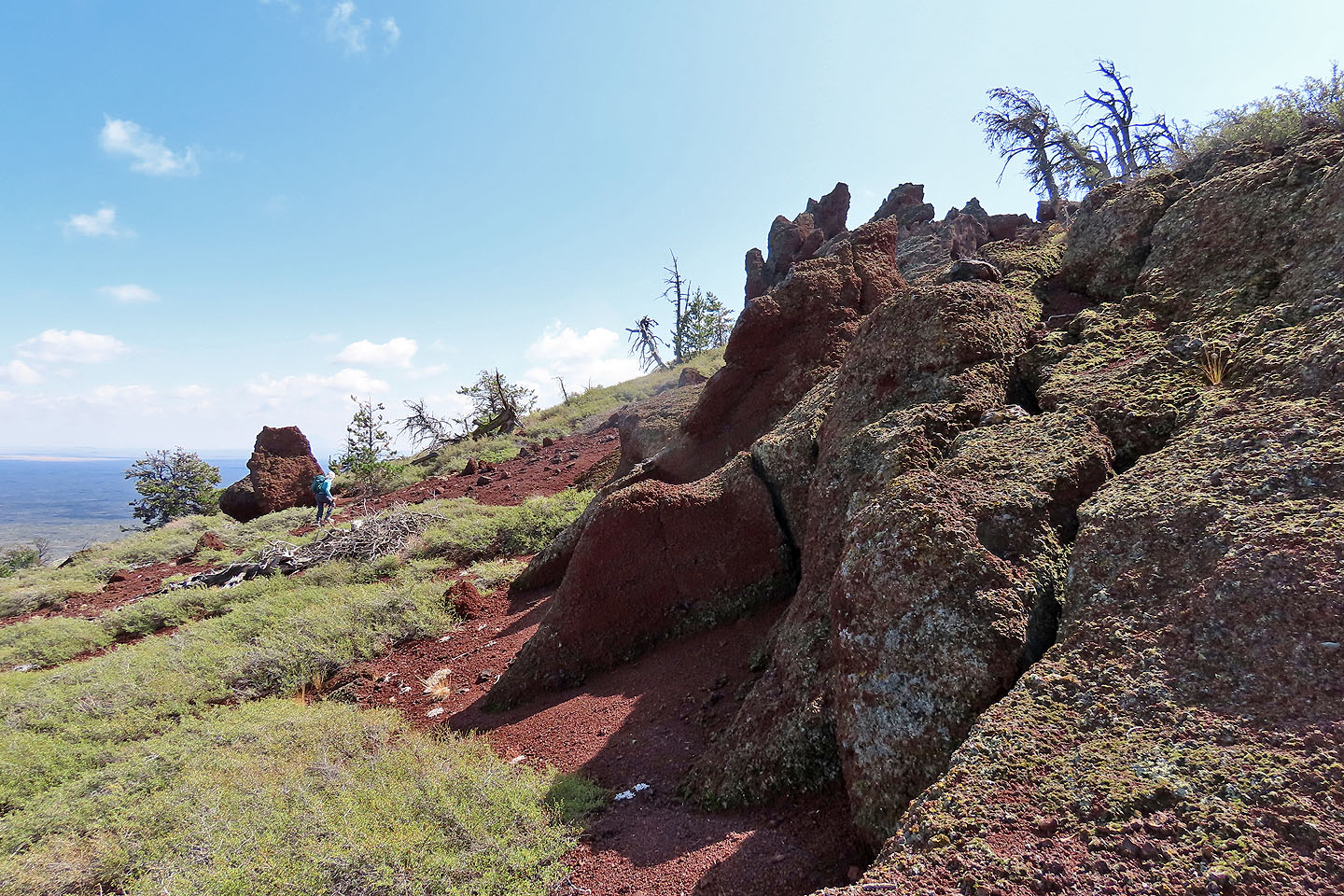
Just below the summit we explored scoria outcrops
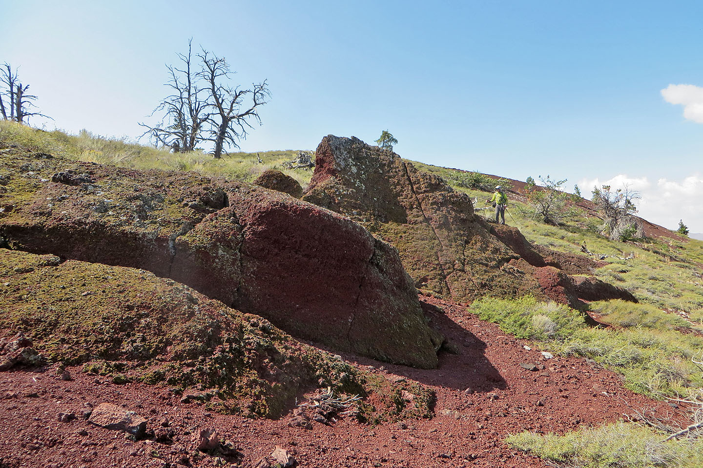
We took a close looks at the rocks
Looking back at Broken Top (left)
Heading to the summit
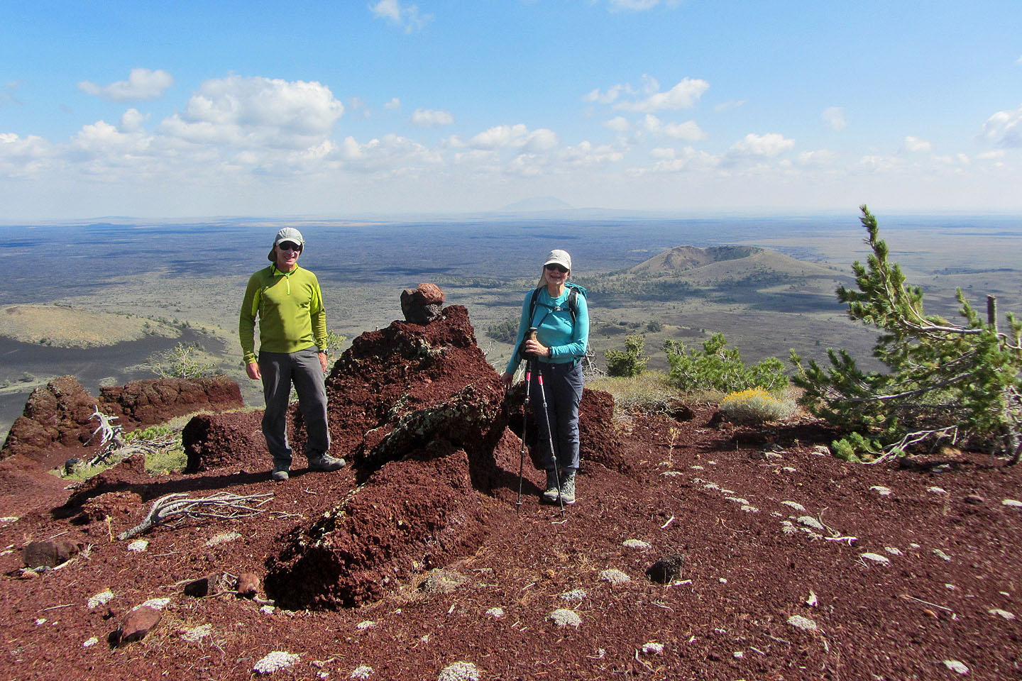
Posing on top of Big Cinder Butte. Crescent Butte on the right.
Starting down. The parking lot is in the centre.
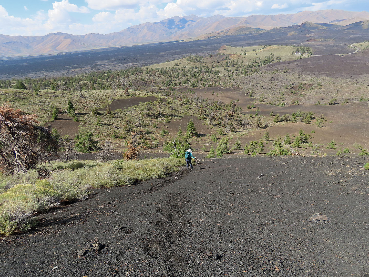
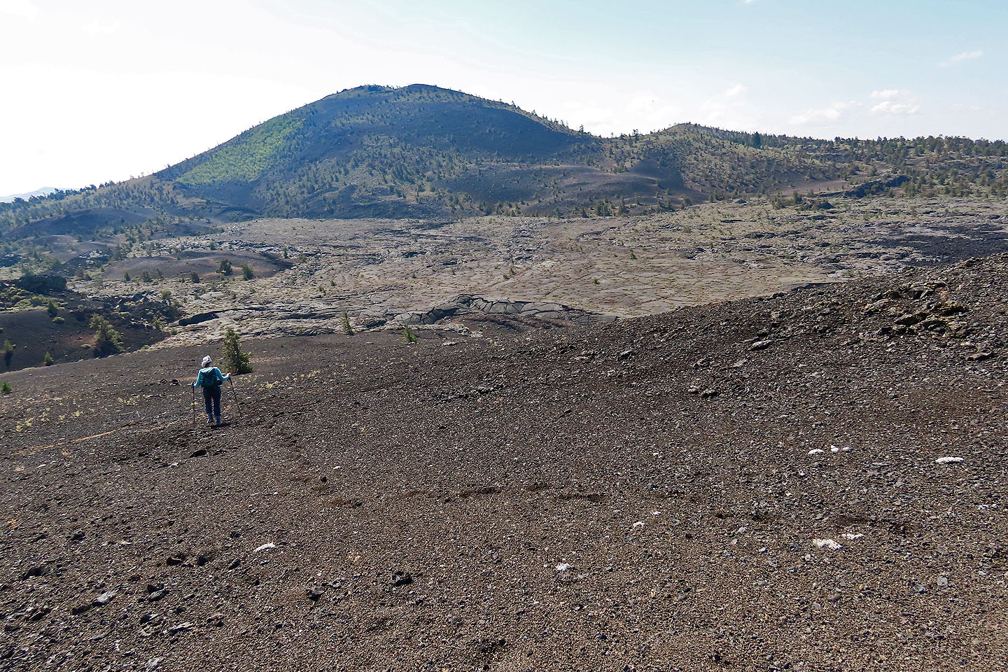
We quickly descended on soft cinder. We headed to the unnamed crater above Dinah.
Almost at the bottom
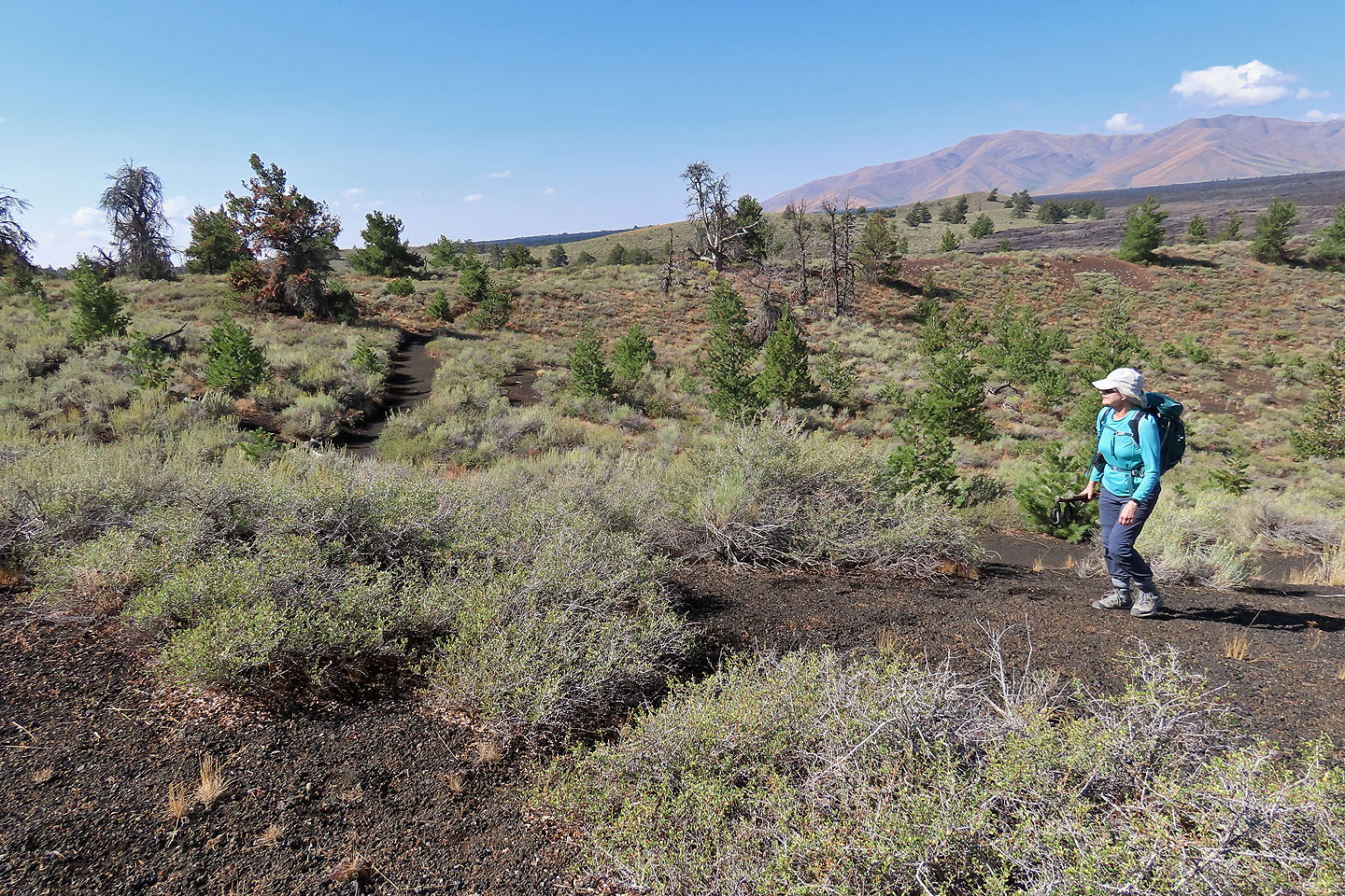
Looking back at Big Cinder Butte as we approached the small crater
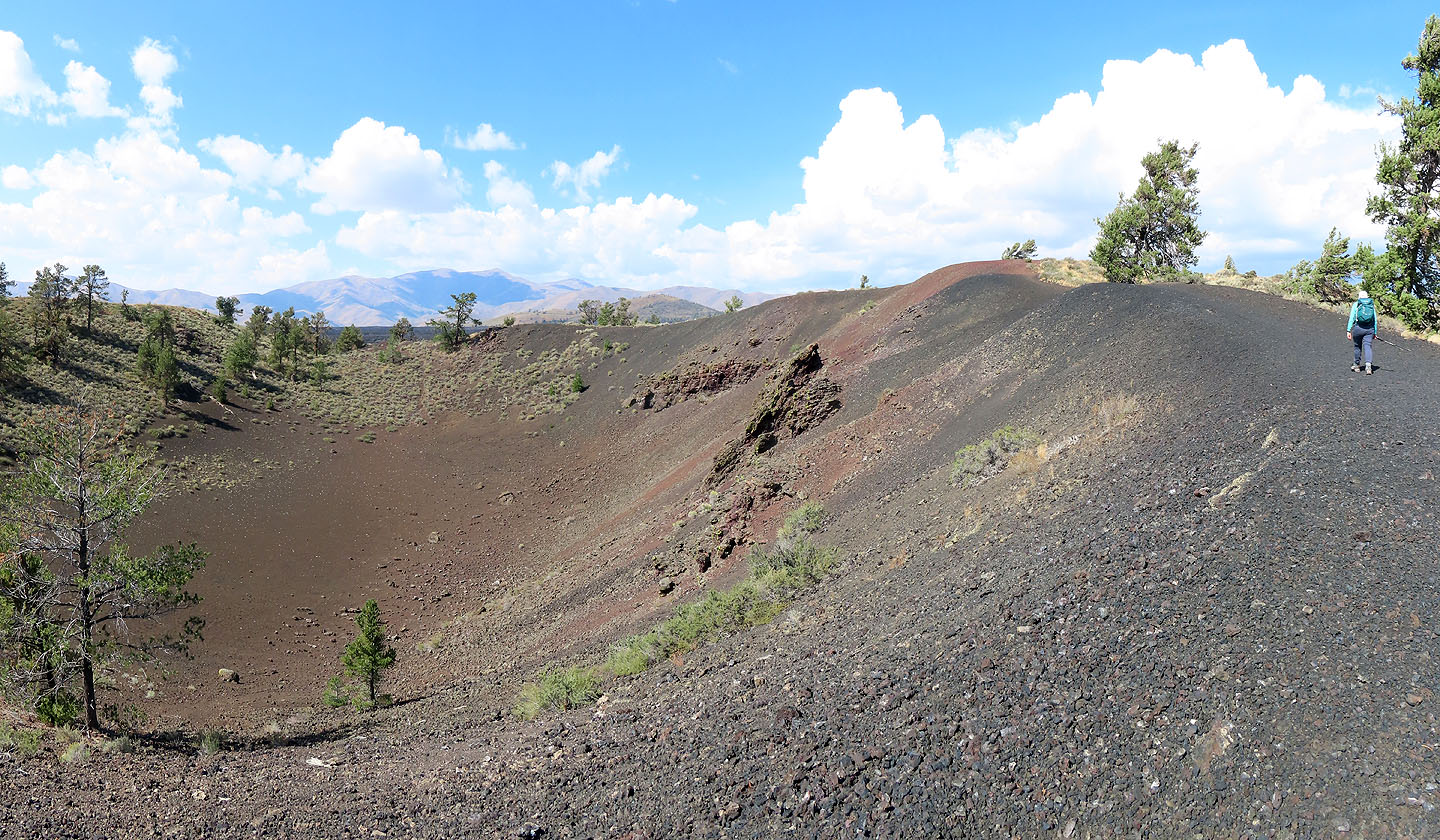 We headed to the high point on the rim
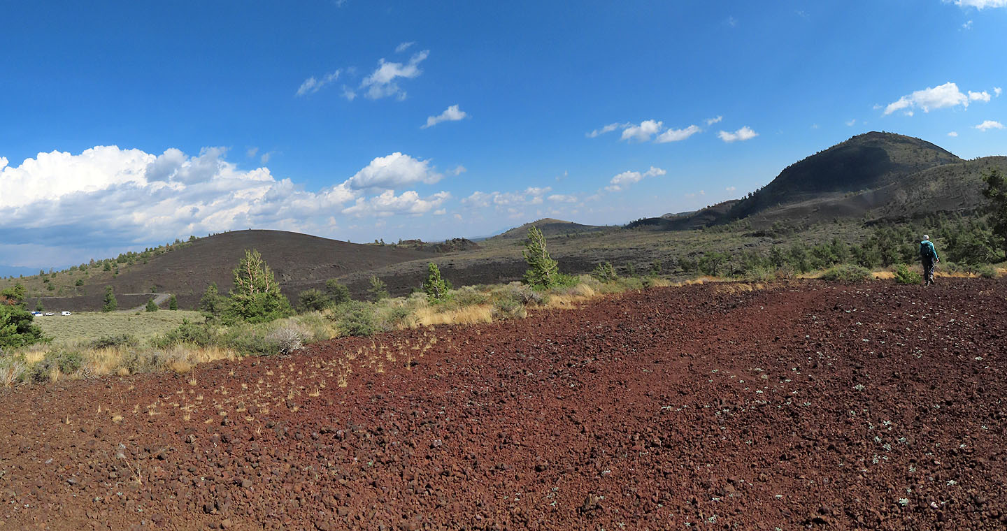
From the top, we had a view of both Broken Top and Big Cinder Butte. Parking is seen left.
Inferno Cone (3.6 mi, 6073 ft, 200 ft, 6519 ft, 673 ft)