bobspirko.ca | Home | Canada Trips | US Trips | Hiking | Snowshoeing | MAP | About

Pyramid Peak
Death Valley, California
October 31, 2009
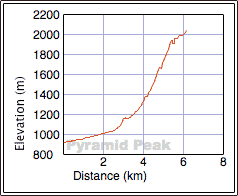
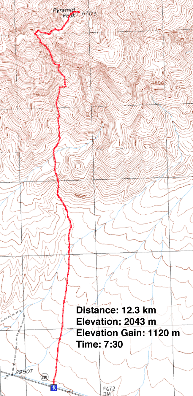
Distance: 12.3 km (7.6 mi)
Cumulative Elevation Gain: 1195 m (3921 ft)
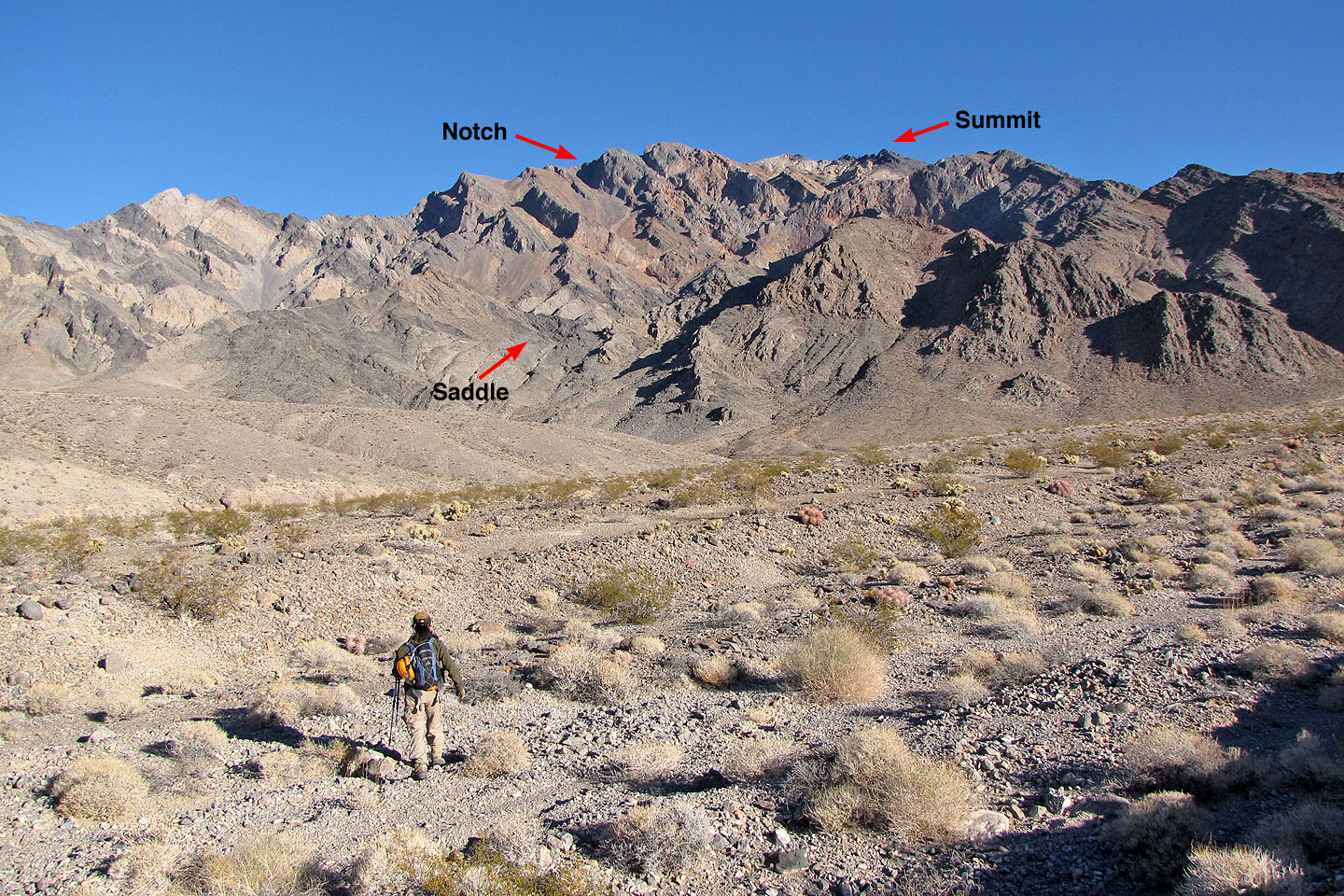
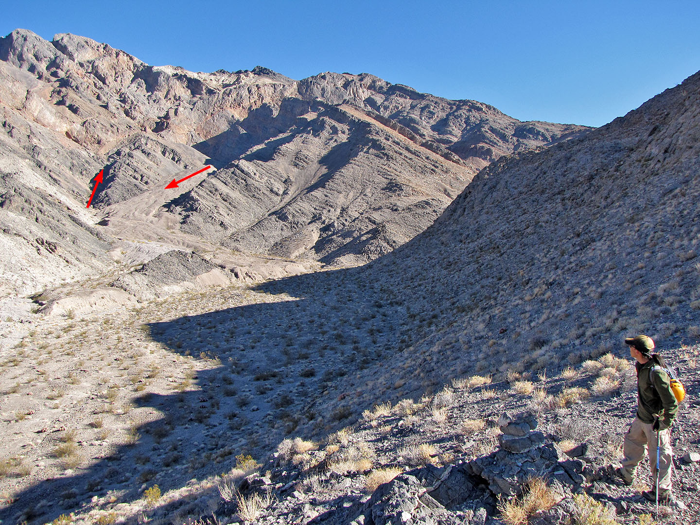
I came across Pyramid Peak while looking for climbs in Death Valley. Summitpost describes a long, easy route but Shin, who agreed to hike with me, provided a route that is quicker but more technical. After crossing the flats to the base of the mountain, we would hike over a saddle. After dropping down we had to hike up a wash. Climbing out of the wash would bring us to a point where we could view our next objective: a notch in the ridge crest. After reaching the notch, we could traverse left below the ridge, regaining it eventually, and follow it to the summit.
It took us about two hours to drive to the trailhead from the Rio Hotel in Las Vegas where I was staying. Looking at Pyramid Peak from the roadside, I was a little intimidated by the complexity of the ridges. But the route description we used was well-written. Still, I was glad to have Shin along. Aside from enjoying his company, he has much more experience climbing desert peaks than I do. Living in Las Vegas, Shin climbs desert peaks every Saturday and Sunday. I'm from Calgary, Alberta and more comfortable climbing in the Canadian Rockies, a totally different challenge.
As we walked across the desert toward the mountain base, Shin studied the ground for arrowheads. Although very rare, they have been found in the area, but we had no luck.
The climb unfolded as described. We easily picked out important landmarks along the way. What few uncertainties we came across were quickly resolved. We arrived on the summit with a stunning view of Death Valley spread below. Not surprising as Pyramid Peak is one of the highest peaks around.
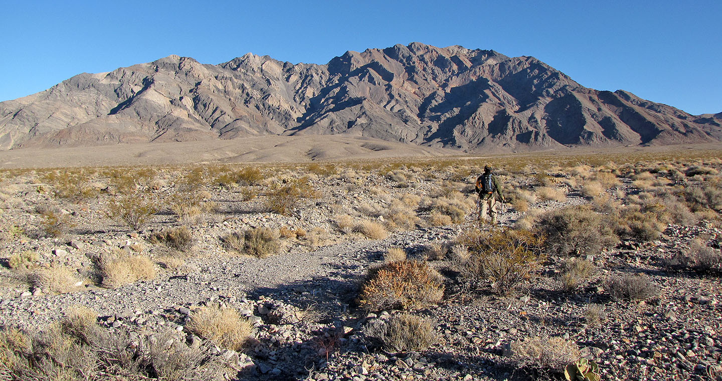
Shin and I hiked across the desert flats towards Pyramid Peak
Drawing closer to the saddle we need to reach

The desert was studded with silver cholla cactus (mouse over to view the wicked spines)

From the base of the mountain, we headed to a saddle
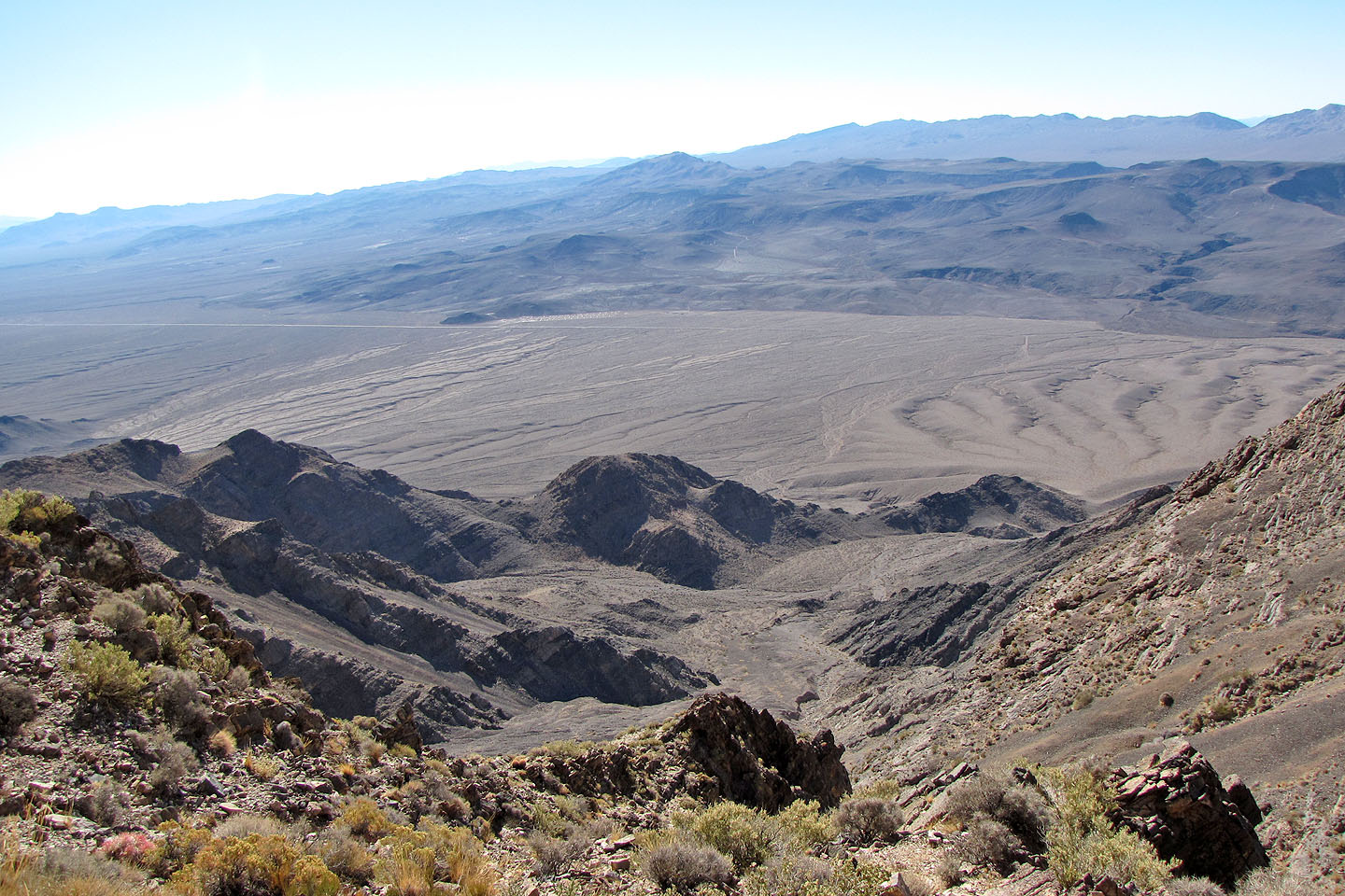
Looking back at the flats from the saddle
We dropped down and crossed the flats below. We could see our ascent and descent routes.
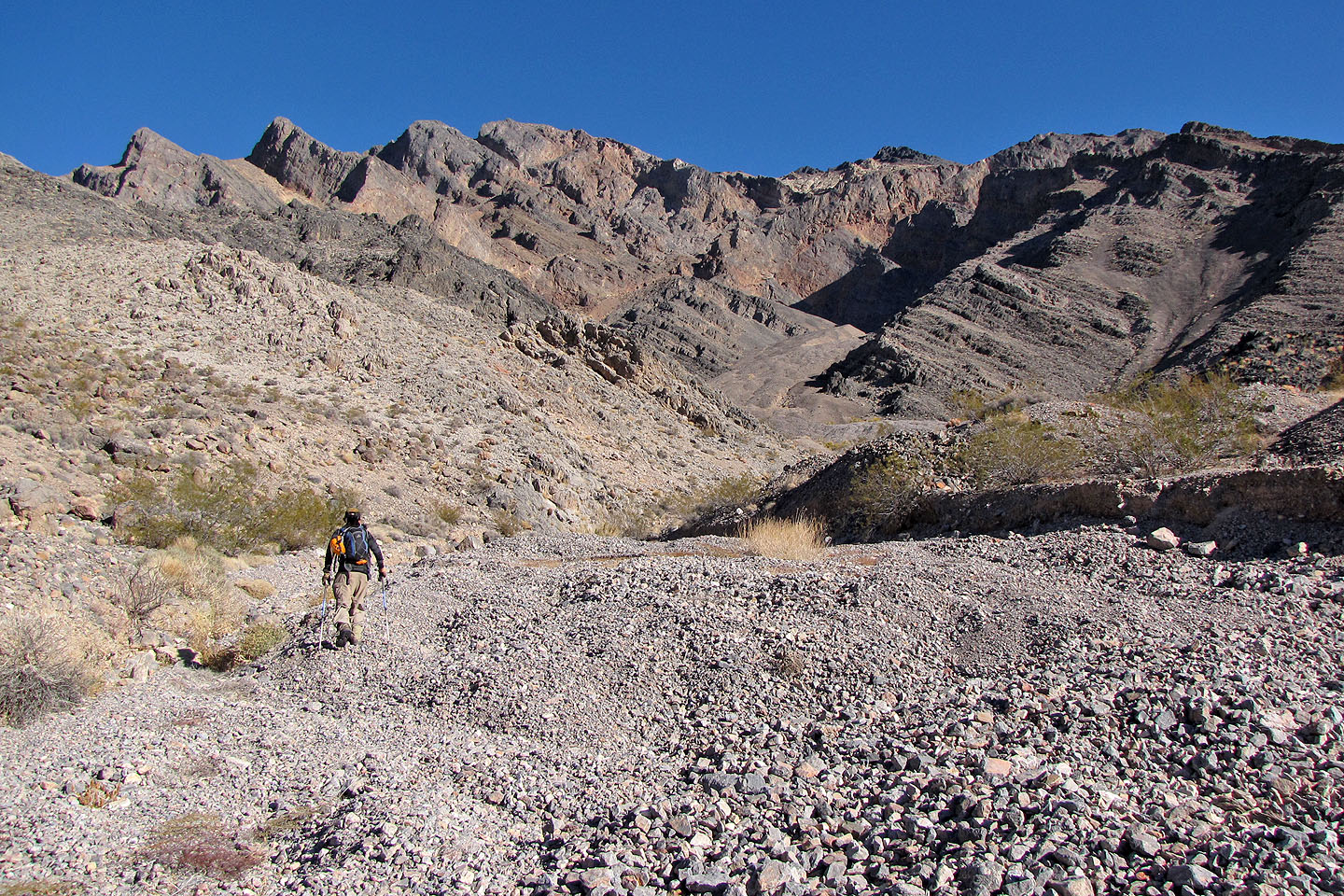
Heading to our ascent route

Looking back at the saddle (centre)
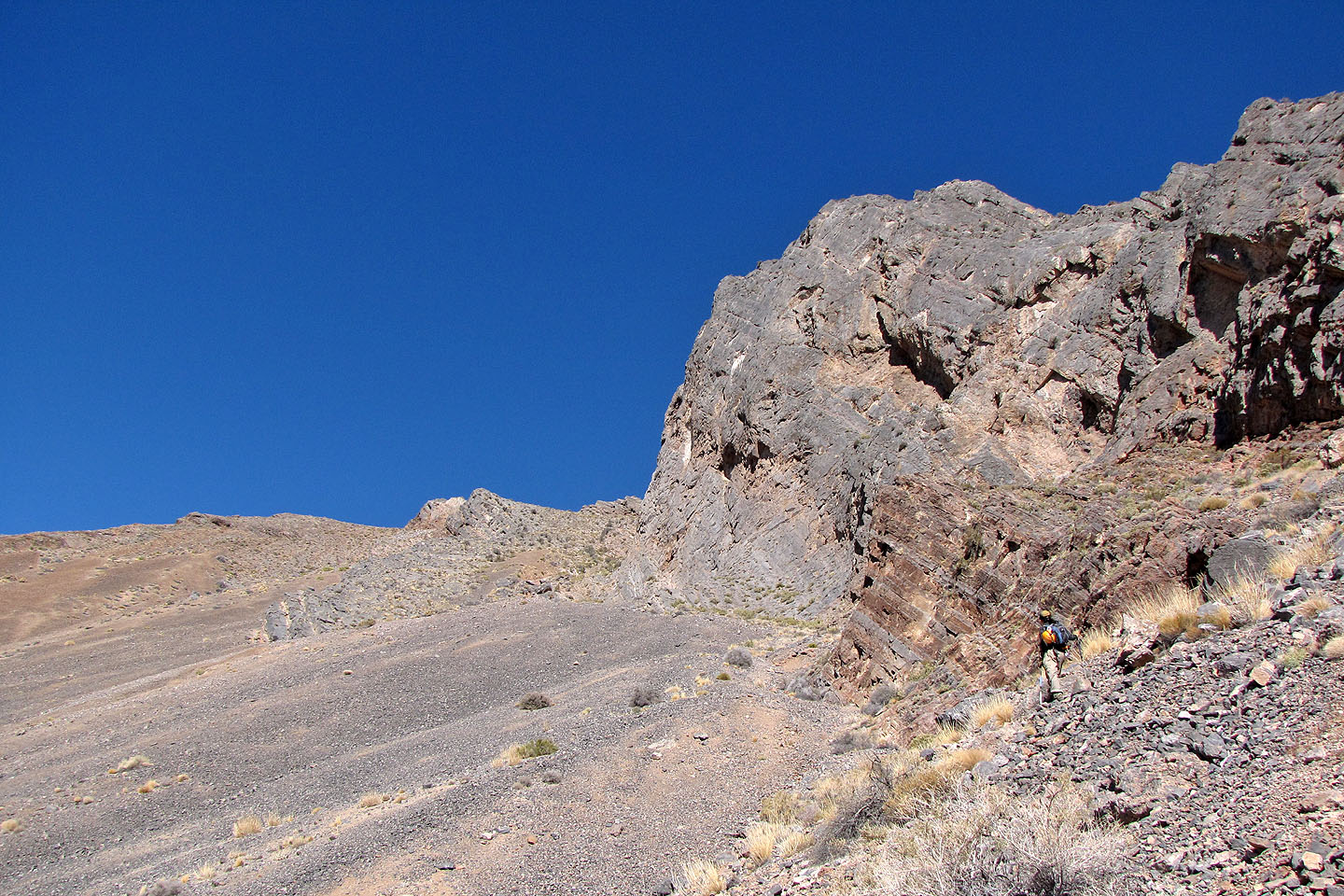
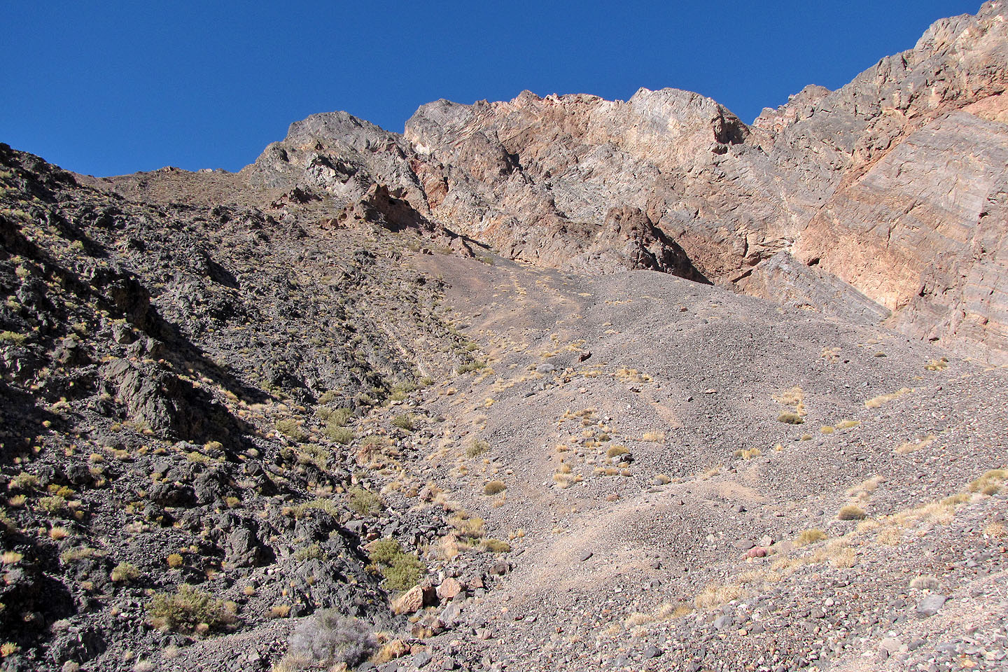
The ascent wash is ahead
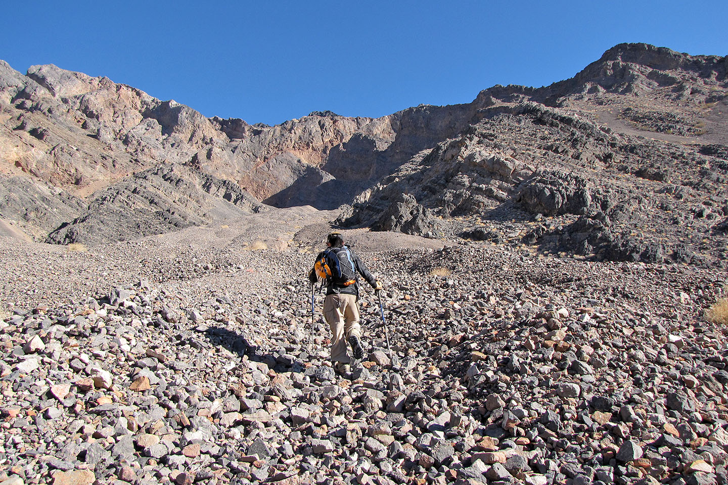
High up the wash, we viewed some striking rocks on the left
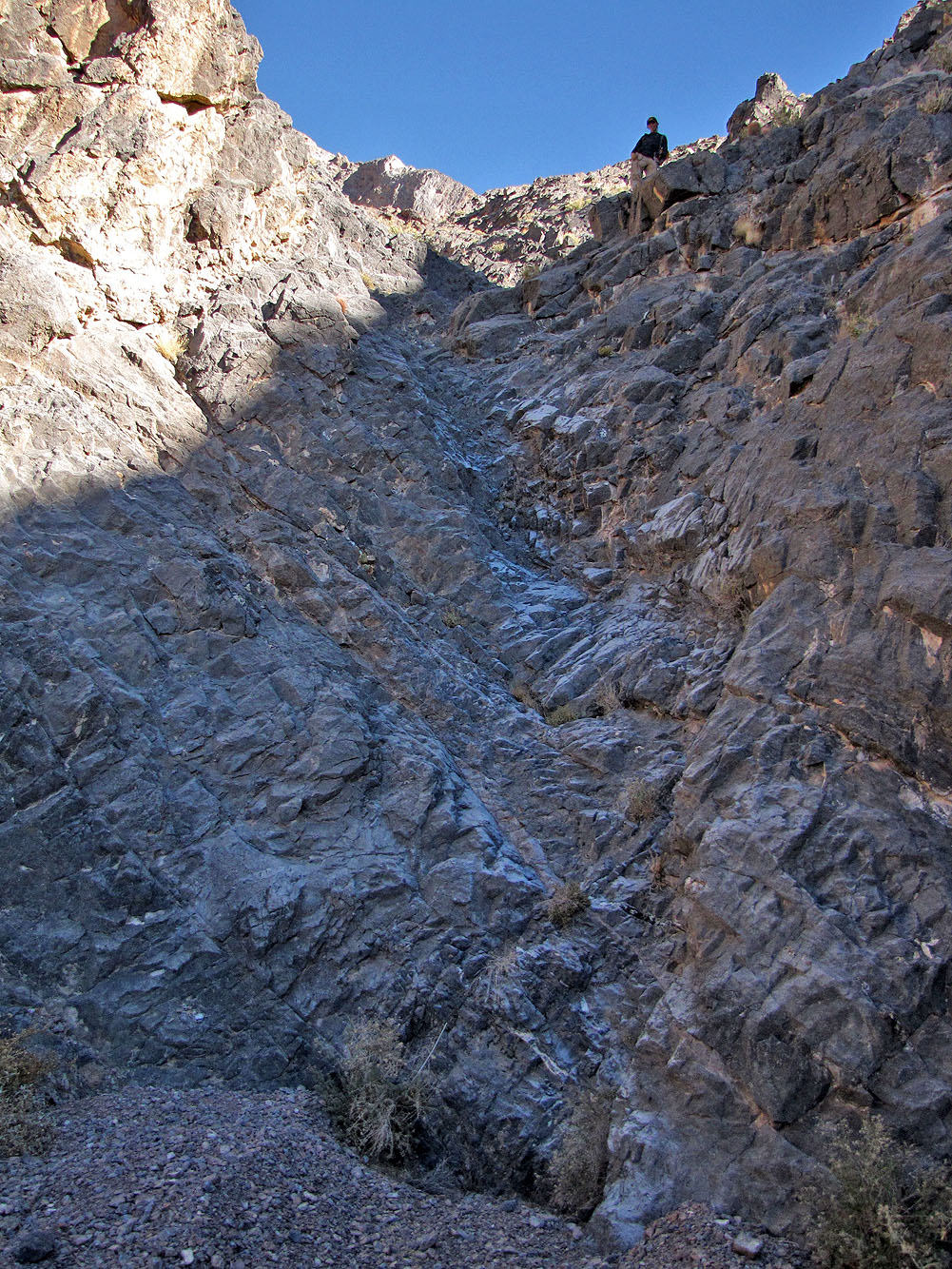
Shin waited for me at the top of the chute, an easy scramble
I stopped to check my GPS for the next waypoint
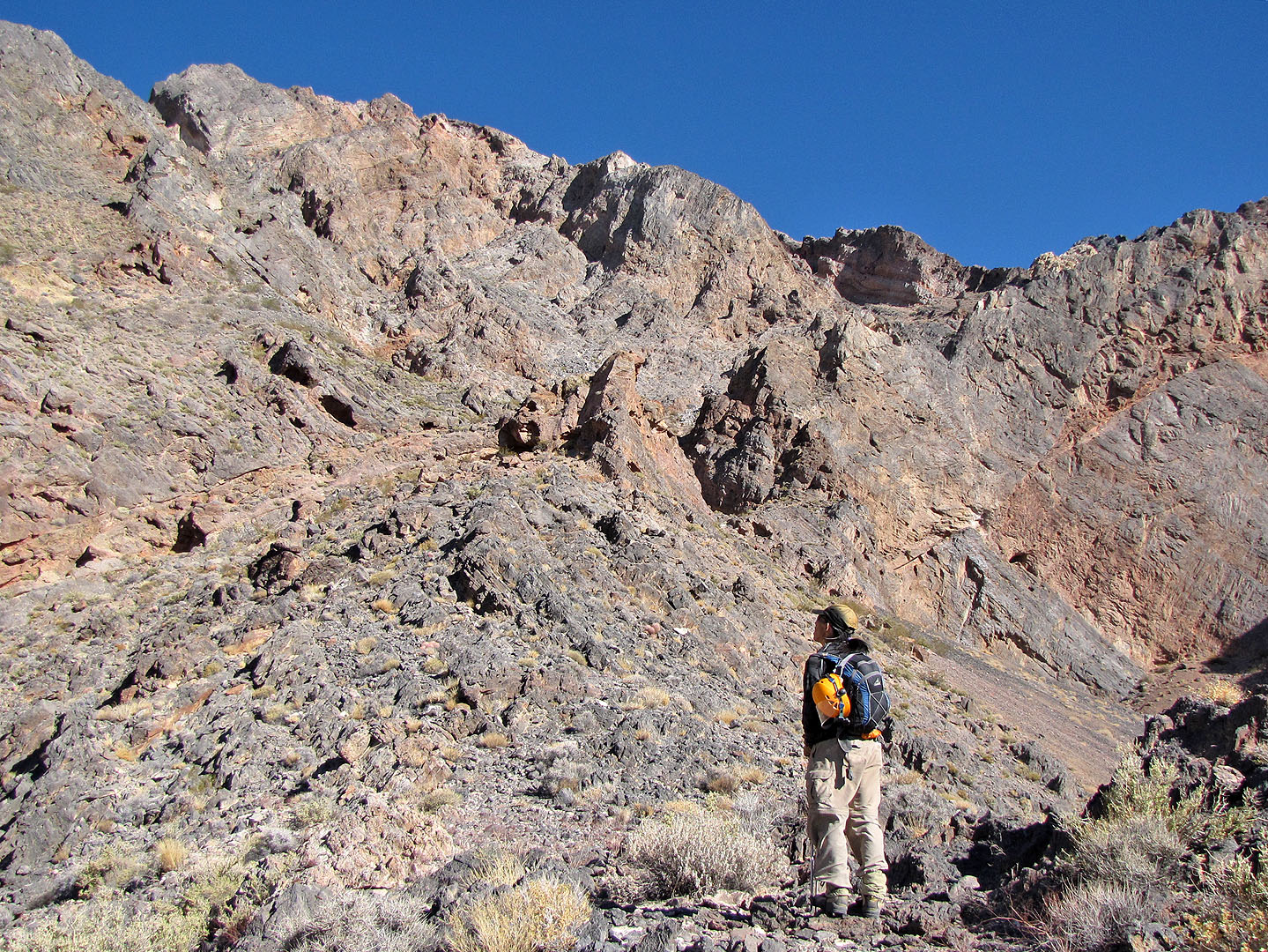
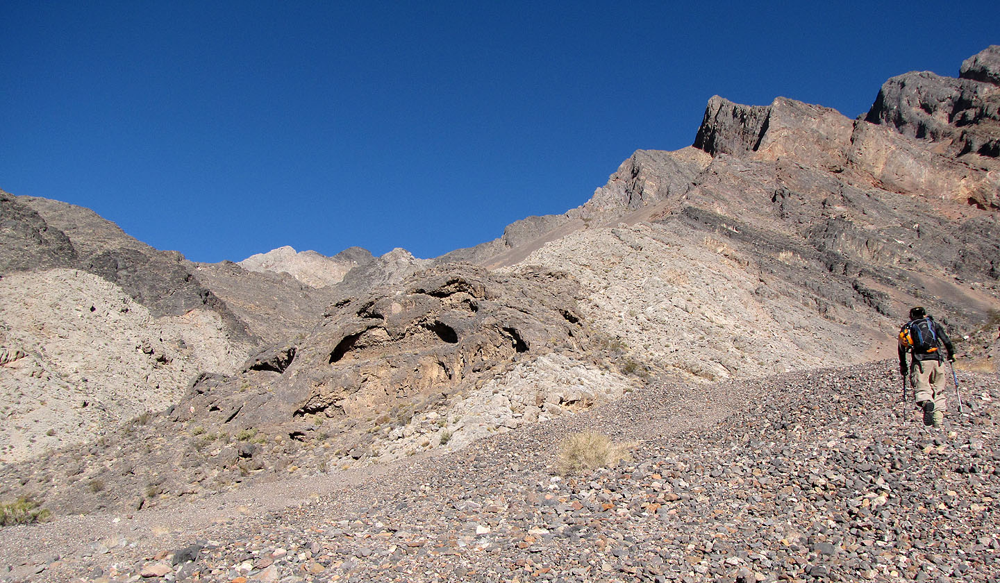
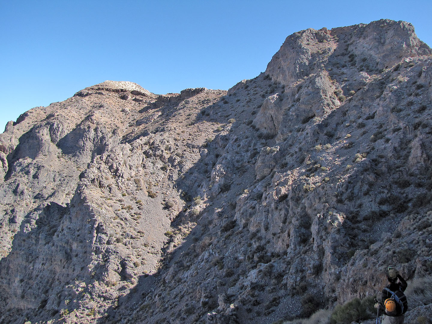
After reaching a ridge, we looked for the notch

There's the notch, left of the rock buttress
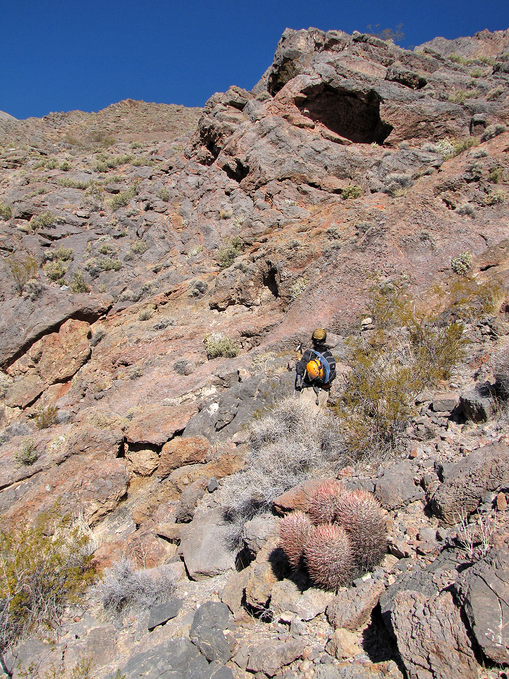
We kept left of the cave
Looking back, the saddle is between the second and third black bumps
We followed alongside cliffs all the way to the notch
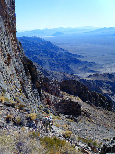
Almost at the notch, looking back
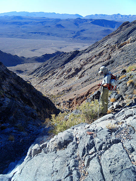
The ground drops away at the notch, but we easily followed a ledge toward the summit (centre)
After losing elevation, we have to climb to the base of the block (upper right), before heading to the summit.
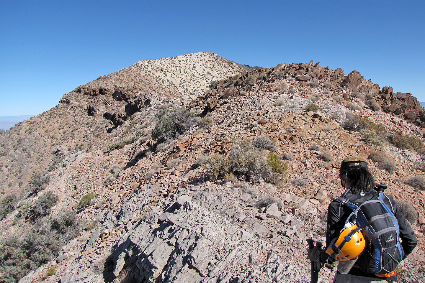
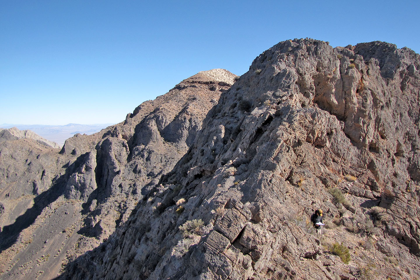
The summit is within easy reach now
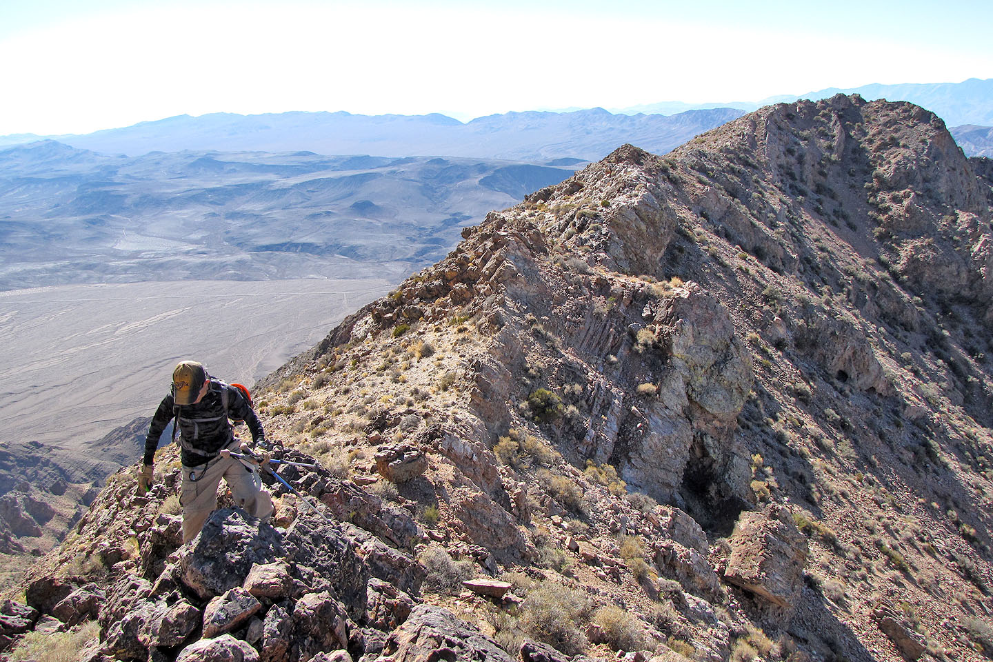
We followed the ridgetop whenever we could
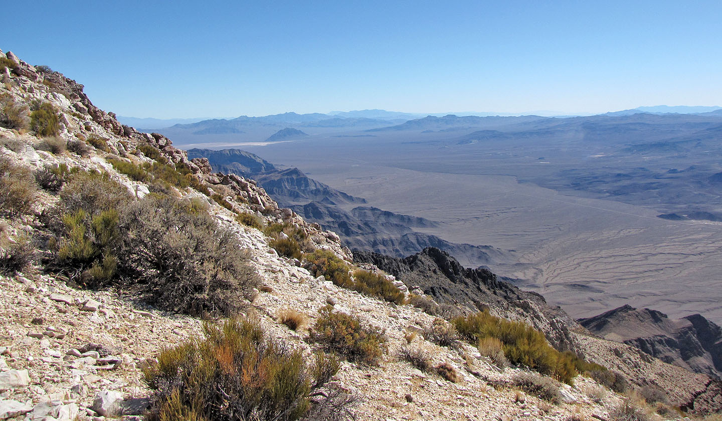
View southeast toward Eagle Mountain (mouse over)

The sky was unusually clear so we could see the Sierra Nevada Mountains
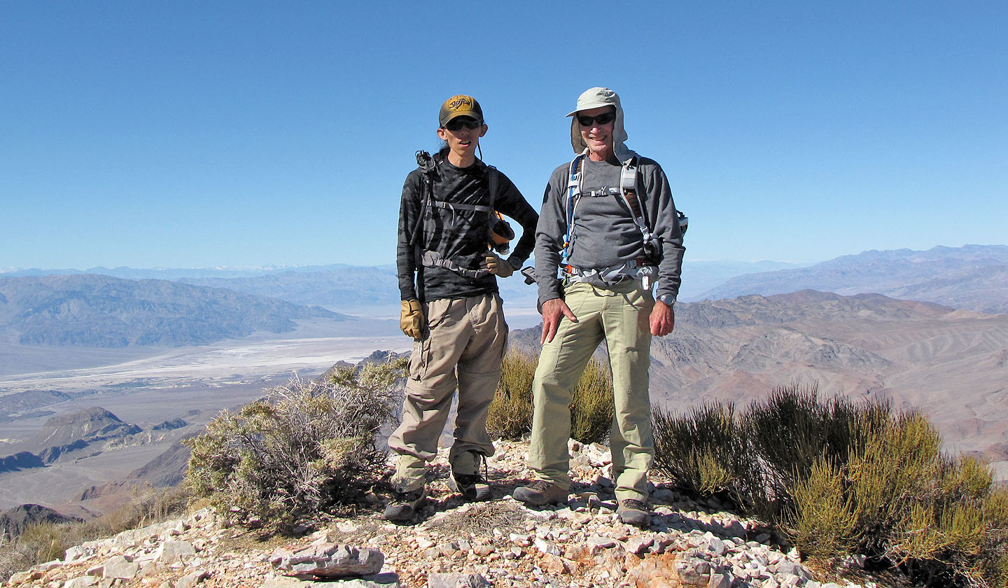
Shin and me on the summit
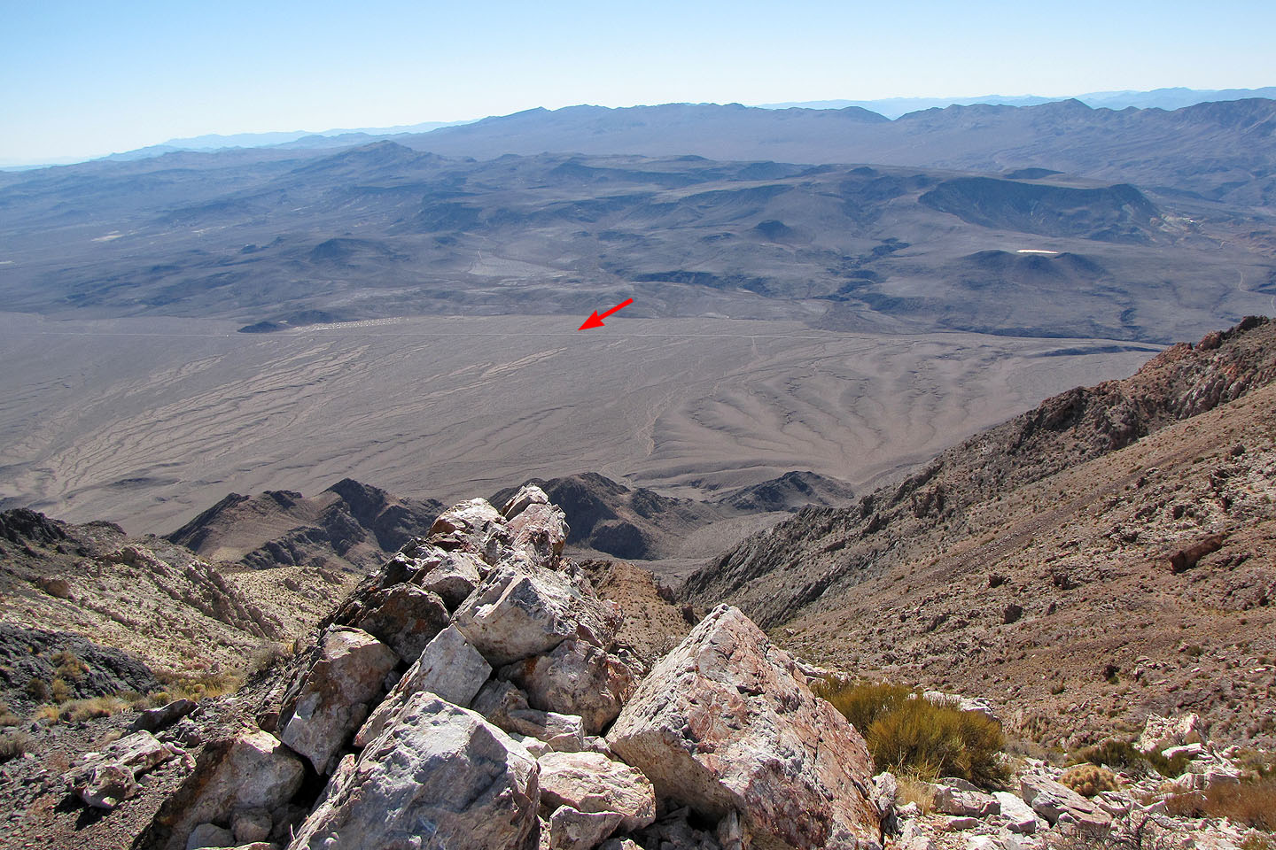
Looking back at our car (mouse over)
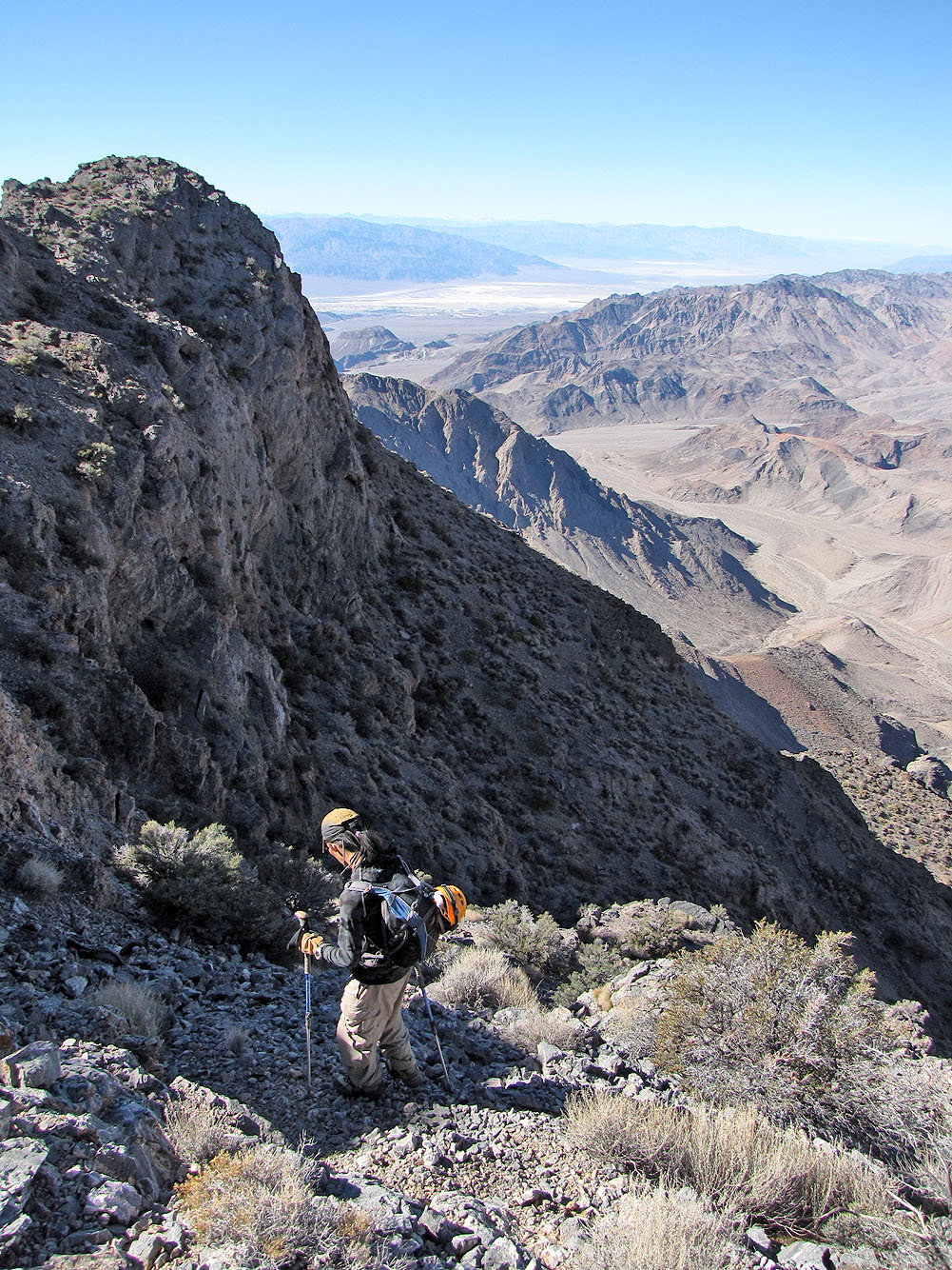
Heading back down
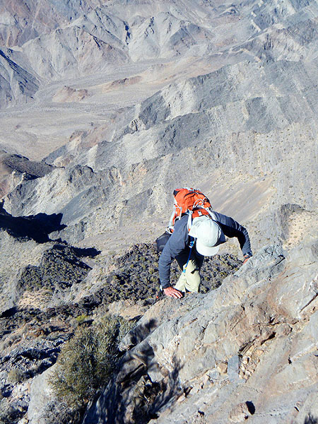
Scrambling up to get back to the notch
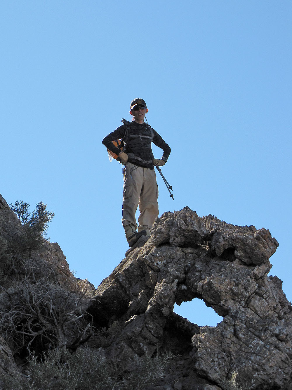
Shin waits for me on a window (mouse over to zoom back)

Shin makes his way back to the notch
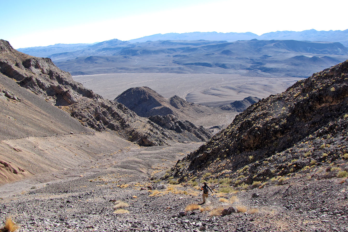
Shin races down the scree descent route
Looking back at the descent route
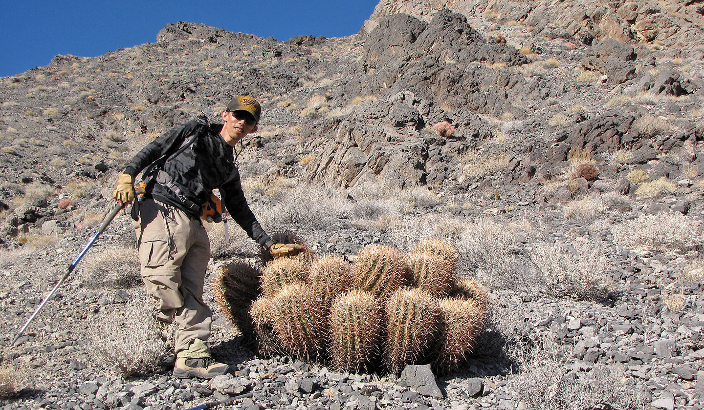
An impressive clump of barrel cacti

We chased this insect, about 1.5 inches long, trying to take pictures of it. Later I learned it was a
Tarantula Hawk, a wasp that stings and lays eggs on tarantulas. For humans, the sting is "like an electric wand
hitting you, inducing an immediate and excruciating pain that simply shuts down one’s ability to do
anything...."

Last look at Pyramid Peak
East of Echo Canyon, East of Ryan (7.6 mi, 6703 ft, 3675 ft)