bobspirko.ca | Home | Canada Trips | US Trips | Hiking | Snowshoeing | MAP | About
Mount Stewart
aka Stewart Point
Death Valley, California
October 16, 2013
Distance: 11.2 km (7.0 mi)
Cumulative Elevation Gain: 804 m (2638 ft)
We were several minutes into our hike when a disconcerting sight stopped us in our tracks. After crossing the better part of a kilometre over desert flats, we looked back to see two police cars parked next to our rental car. Police cars? What are they doing there on this barren stretch of highway? The highway patrol and sheriff's cruisers weren't there when we started for Mount Stewart. To reach the mountain, we had to cross nearly two kilometres of desert, but after seeing the cruisers, we had to investigate. Dinah and Shin waited while Sonny and I marched back to our car to find out why the cops were there. We wondered if we were in some violation since national parks were closed due to the government shutdown. But we were sure that Mount Stewart was in the environs of Death Valley and not in the park itself.
By the time we reached the highway, the sheriff had driven away leaving only the highway patrol car. I approached the officer sitting in his car. He told me they were concerned that our vehicle might be abandoned. A routine check, nothing to worry about. Sonny and I walked back to rejoin Dinah and Shin, and the four of us continued hiking across the flats. I got the idea of doing Mount Stewart from Andy Zdon's Desert Summits. To help with routefinding, I used GPS tracks from Harlan Stockman which he kindly emailed me.
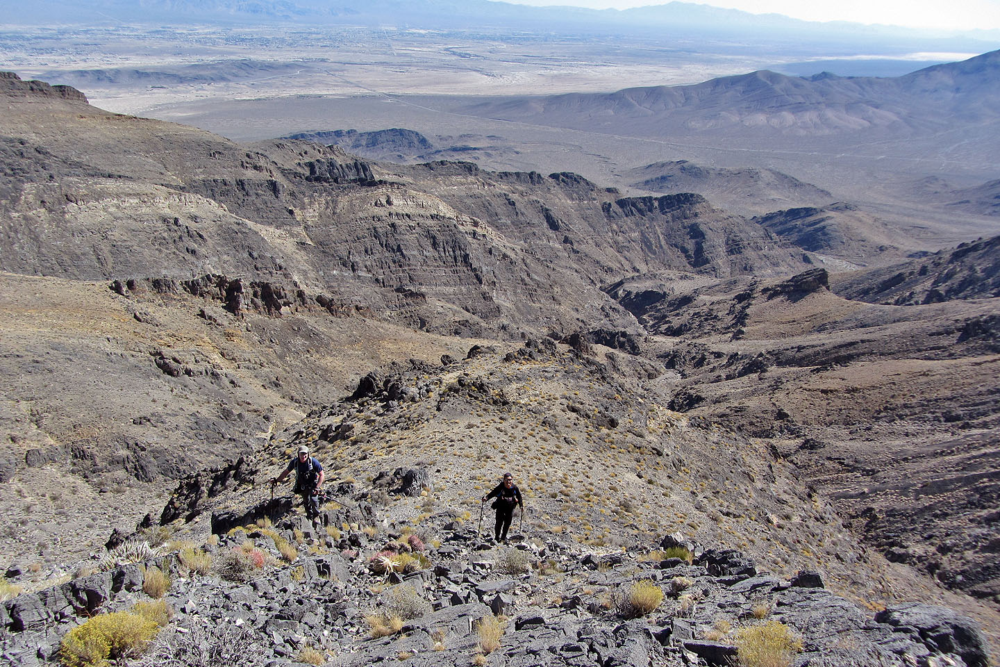
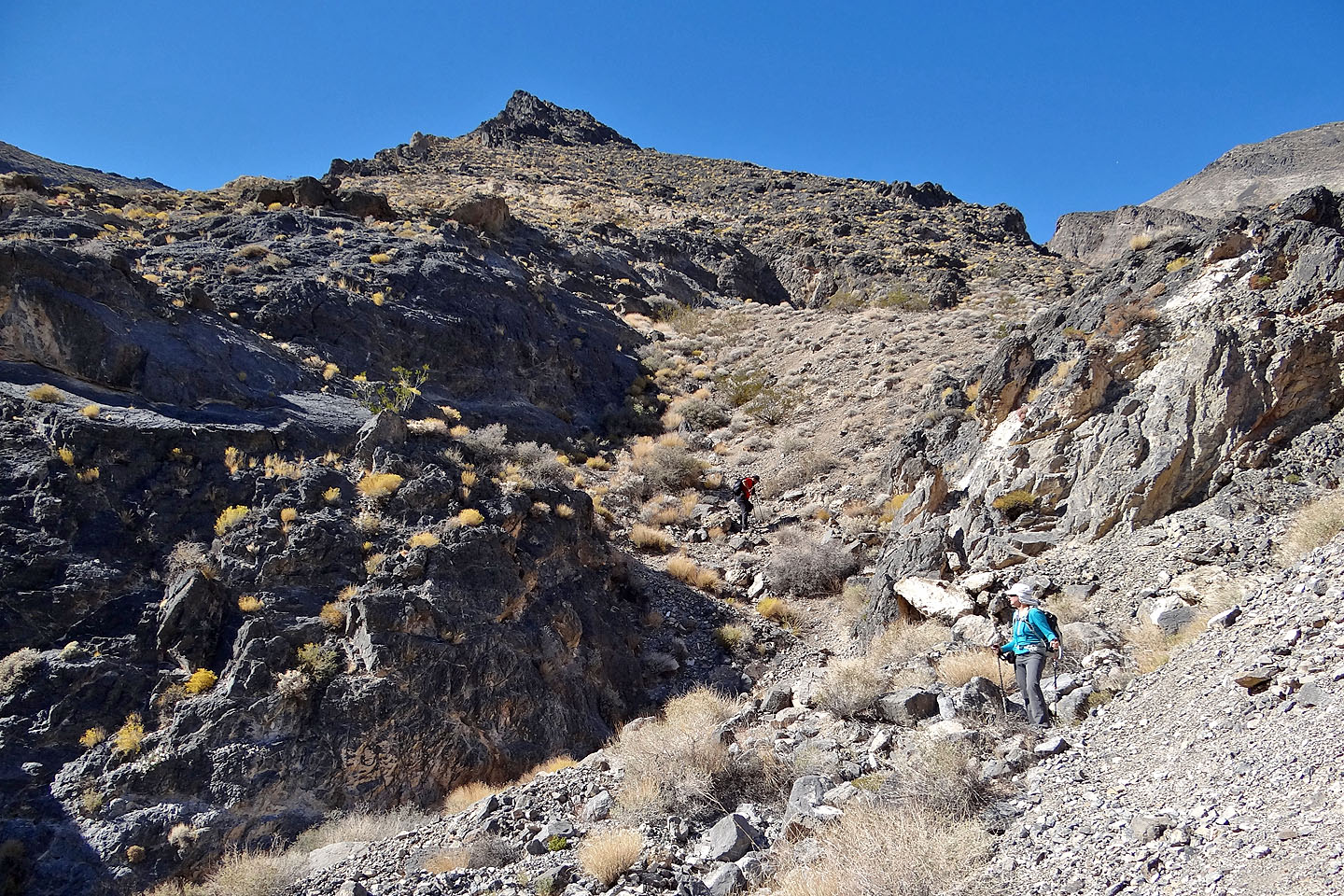
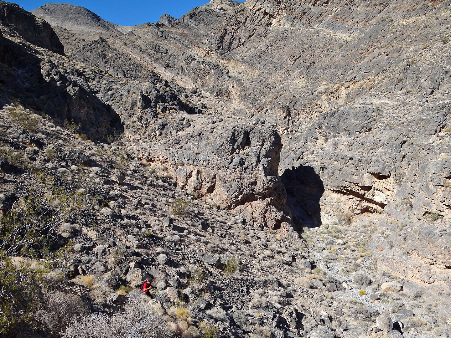
After crossing the flats we reached a wash that we followed until it hit a low saddle. From the saddle, we dropped down to a large wash and plodded on. The wash narrowed and then hit a constricted canyon at right angles. Past this point, the route would have been straightforward if we could have stayed in the canyon, but an insurmountable dry falls forces us to exit and traverse a bit before regaining the canyon. We mistakenly passed the usual jumping-out point on the left and stayed in the canyon longer than we needed to. But we were able to exit easily by scrambling out of the canyon on our right. After traversing and dropping back into the canyon, we found ourselves at the end of a ridge that runs to the summit. It was little more than a steep hike, although the loose rock was hellish in places, making both the ascent and descent arduous.
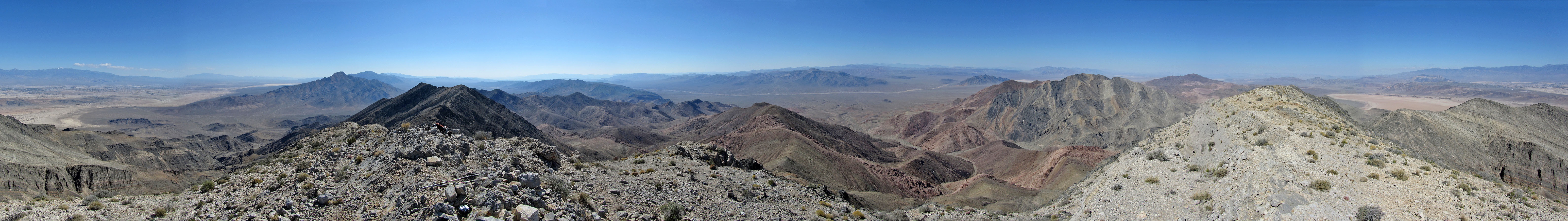
The summit views from Mount Stewart were outstanding. We had no difficulty picking out Telescope Peak in the west or Mount Charleston in the east. After relaxing for a time on top, we headed back down. This time we took the recommended route. Following cairns, we dropped into the canyon and went straight ahead, climbing over a rise before dropping back into the canyon. We made our way back to our car parked on the highway. This time there were no police cars in sight.
Sonny's Trip Report
KML and GPX Tracks
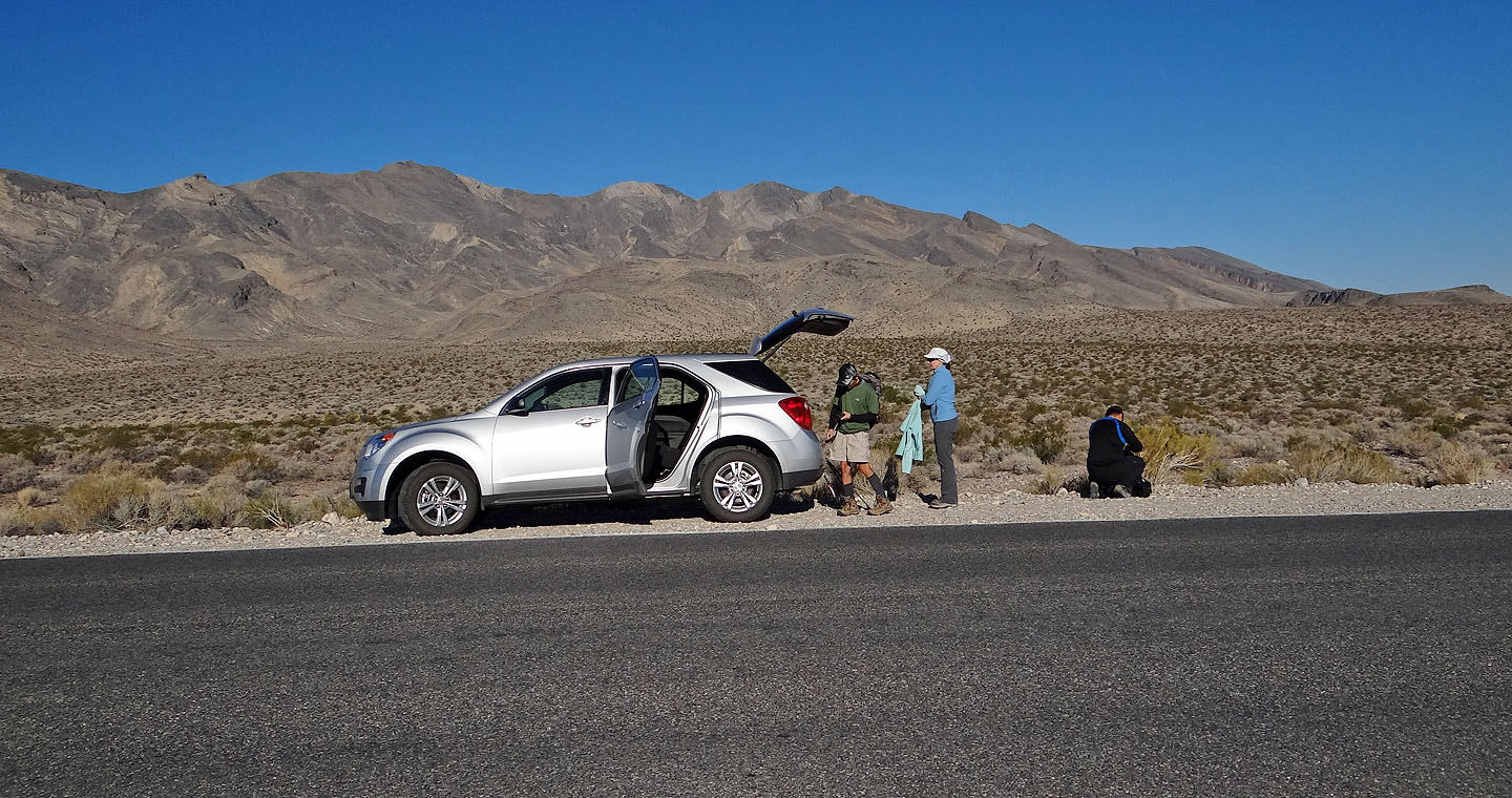
Mount Stewart appears as a beige ridge above the car
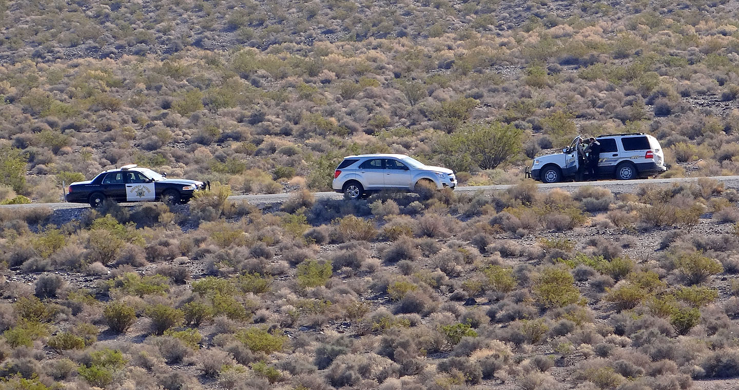
The highway patrol and sheriff check on our car
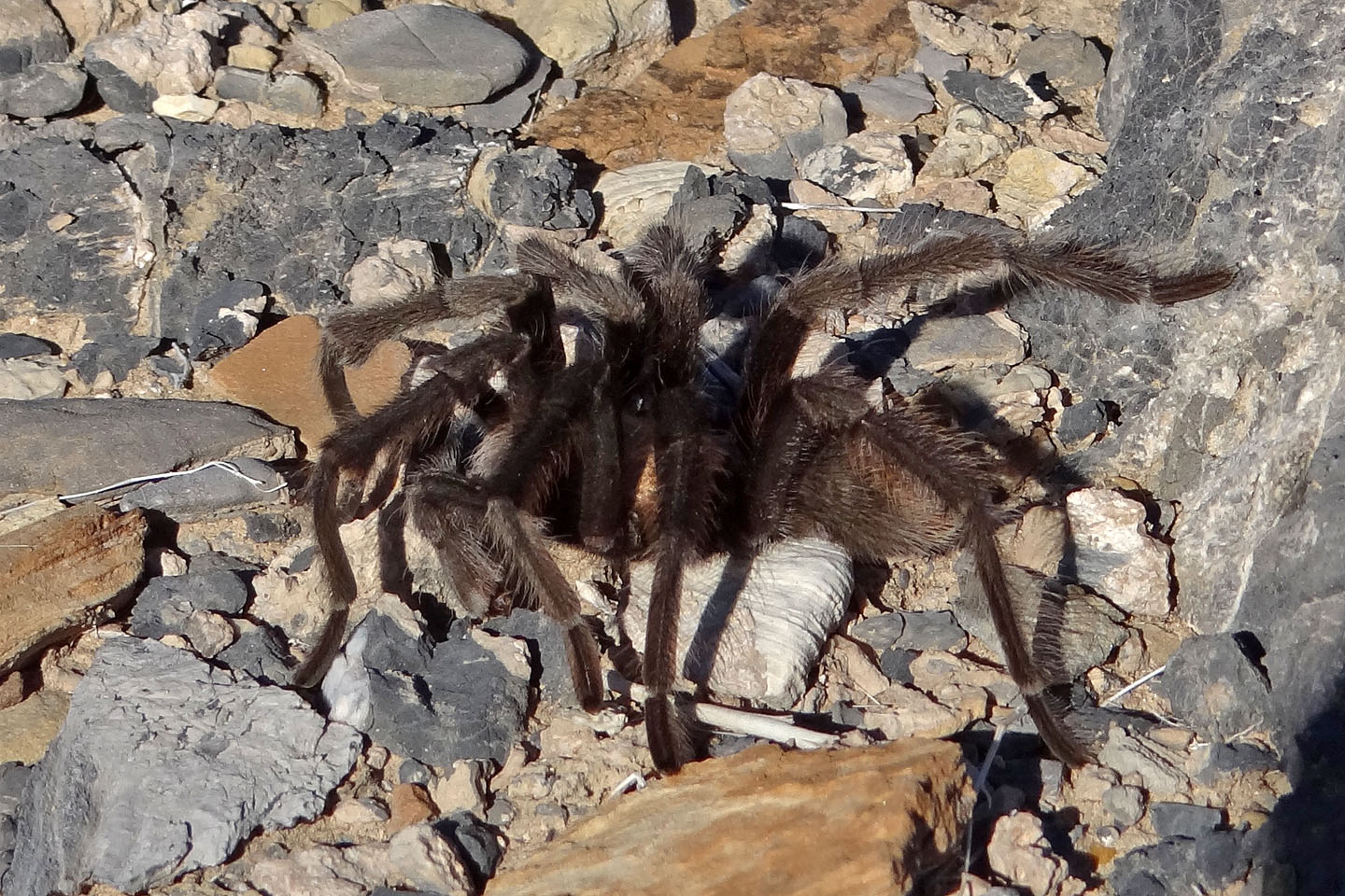
Desert tarantula
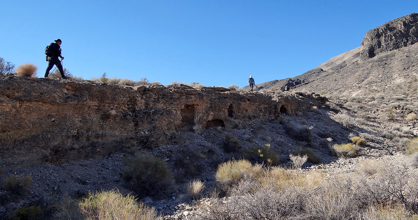
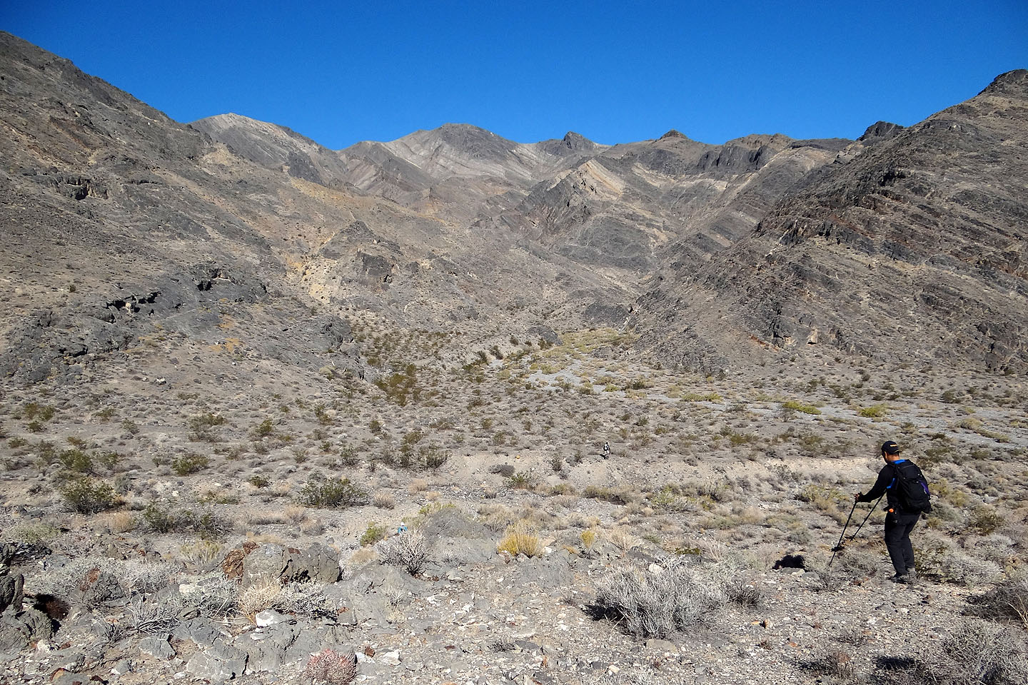
Sonny, Dinah and Shin marched along a short cliff while I took a different route
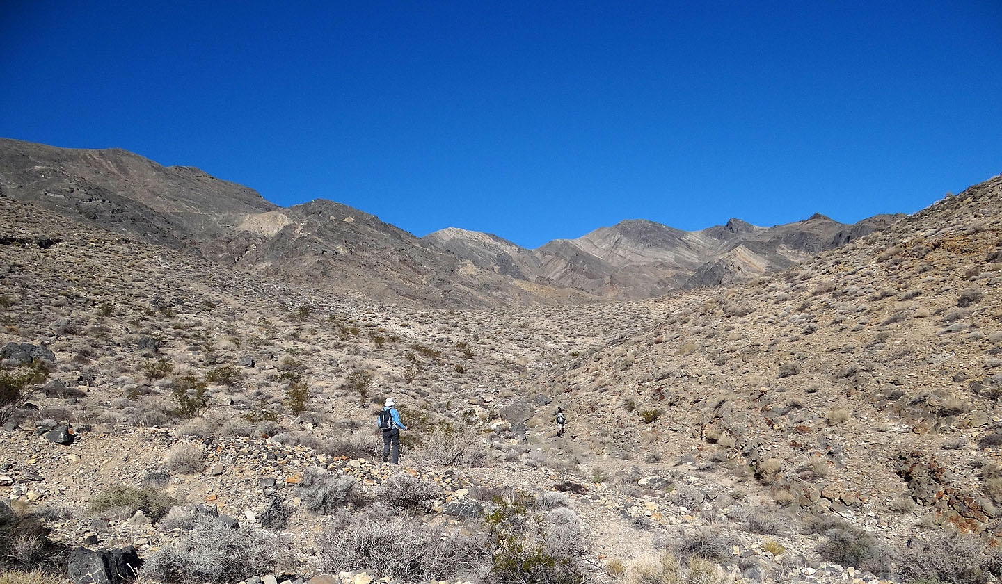
The low saddle is directly ahead
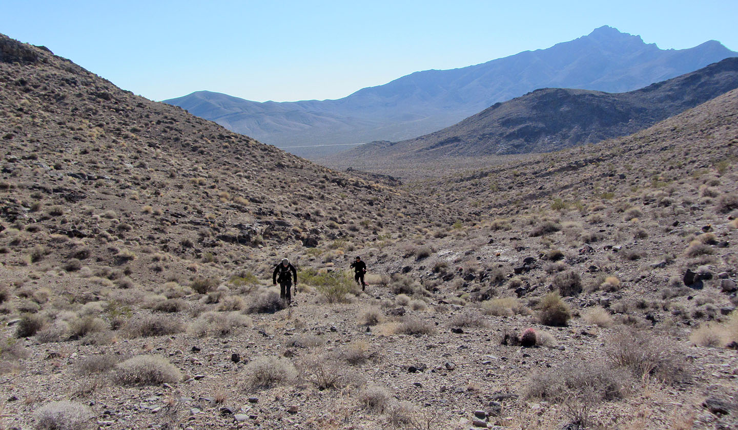
Looking back
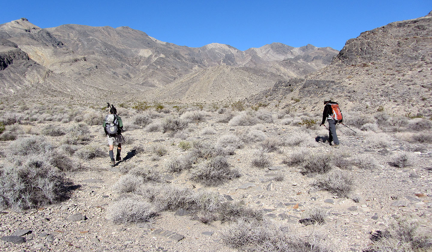
After crossing the flats we headed to the low saddle in front of us
From the saddle we dropped down to a large wash
Looking back after the wash narrows
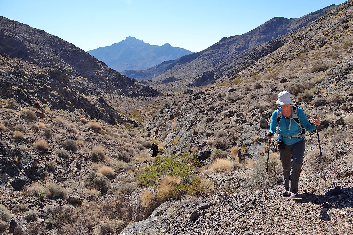
The route turns left and drops into a canyon
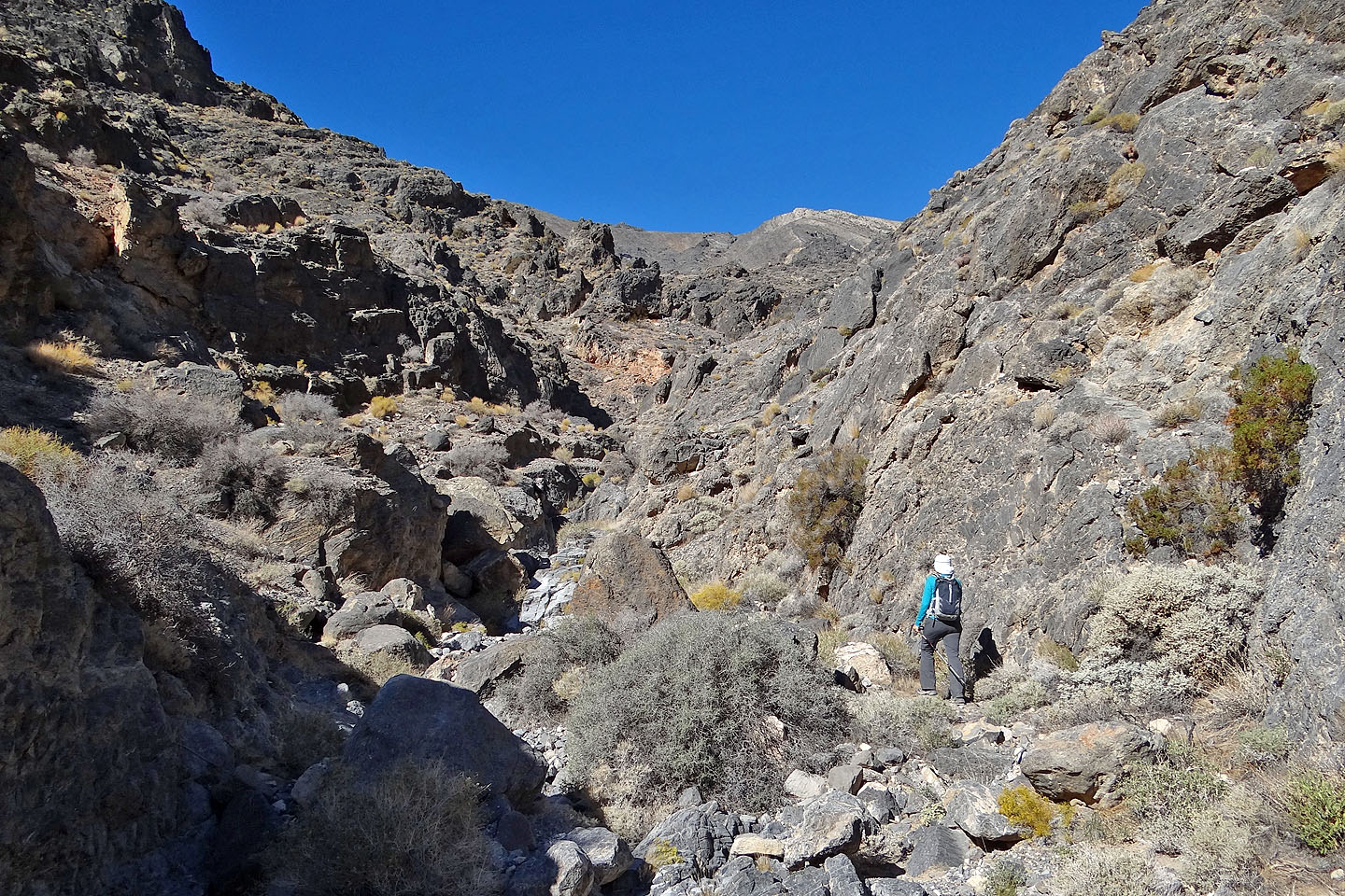
Going up the canyon
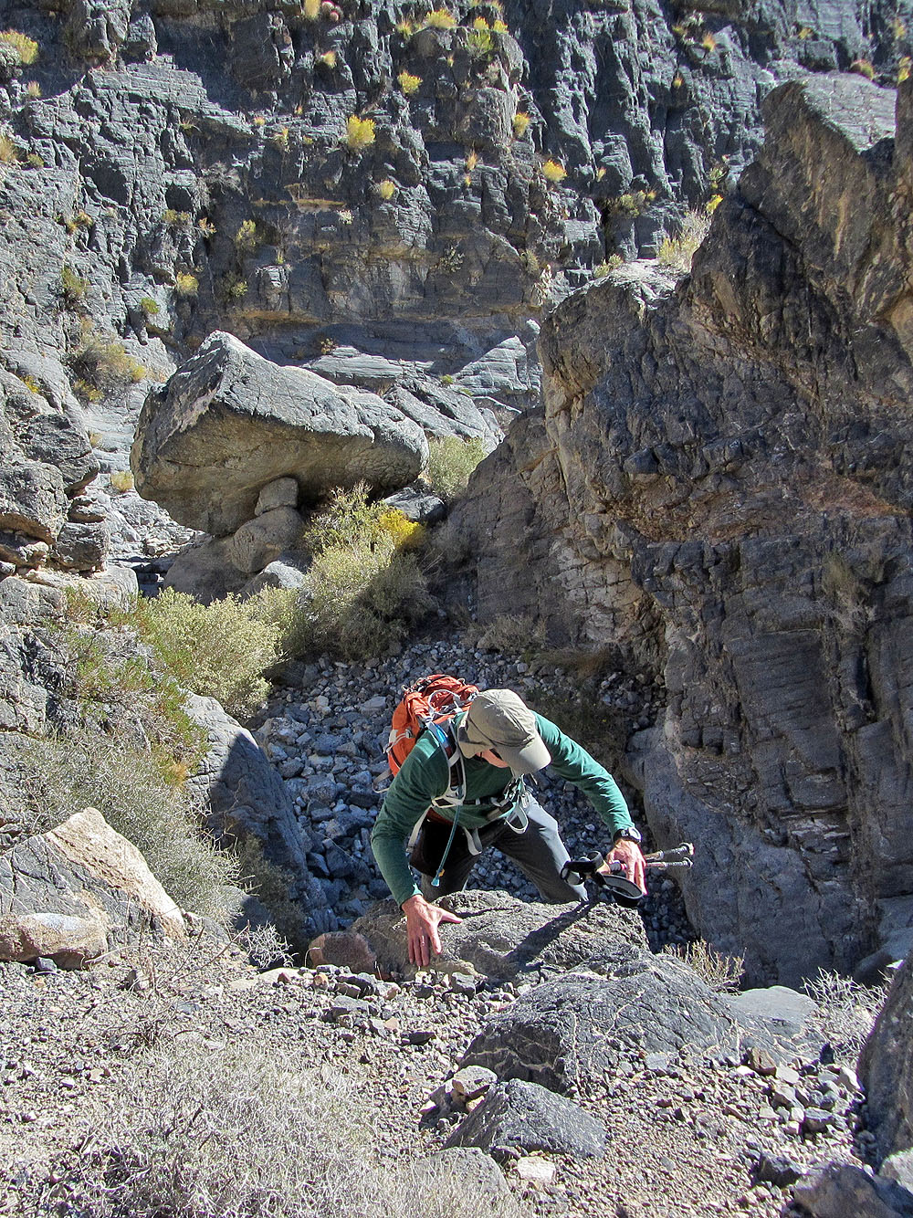
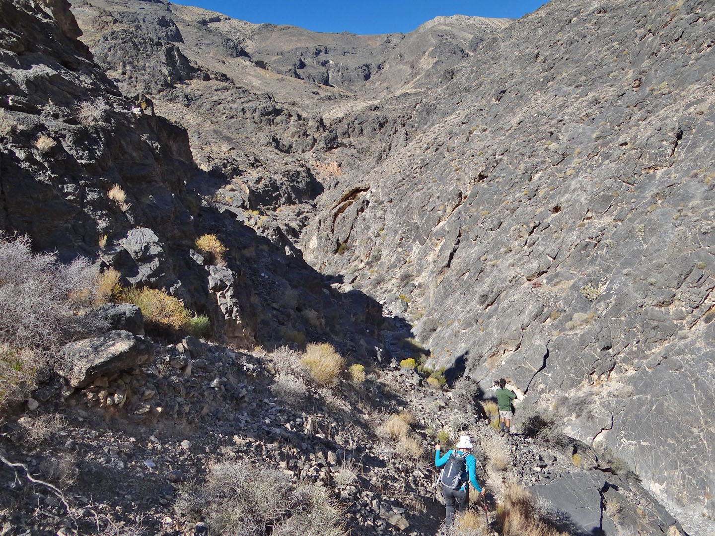
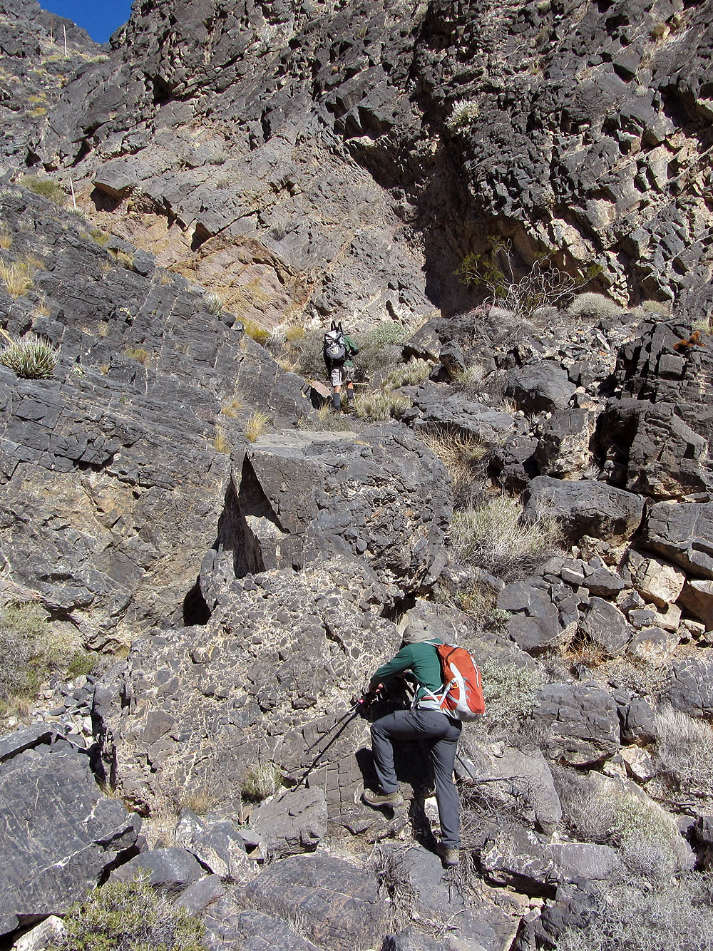
Climbing up a pour-over
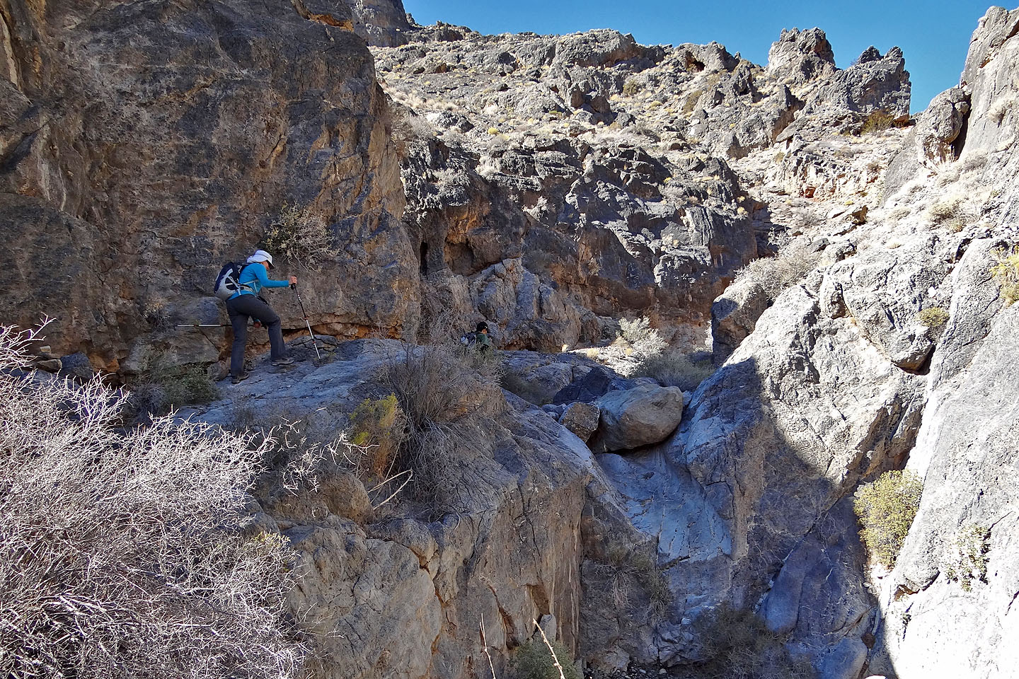
Going around another pour-over
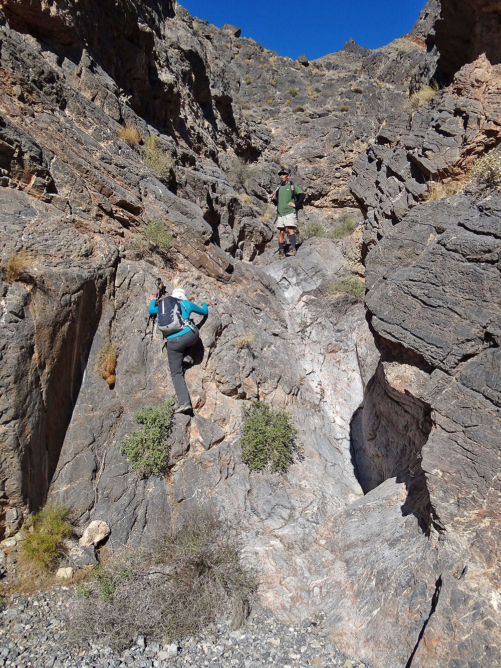
Scrambling up yet another pour-over
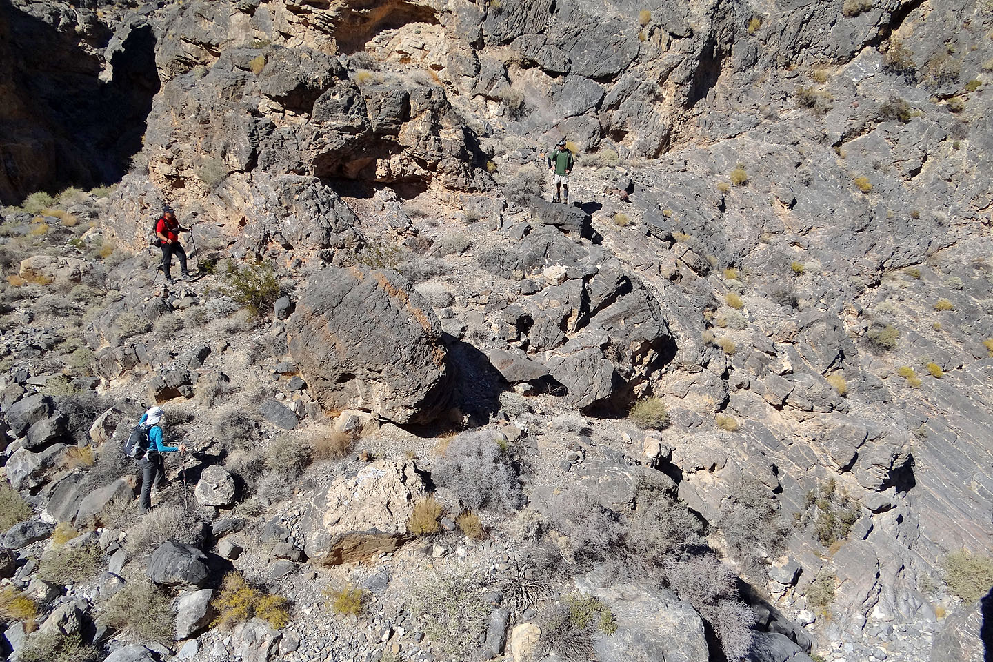
Exiting the canyon on the right side
We are well above the canyon now
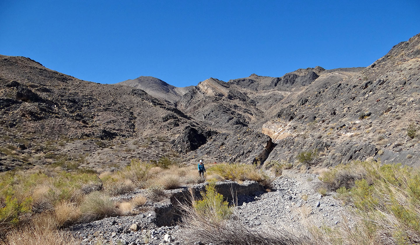
Traversing to get back on route. Mount Stewart is in the centre.

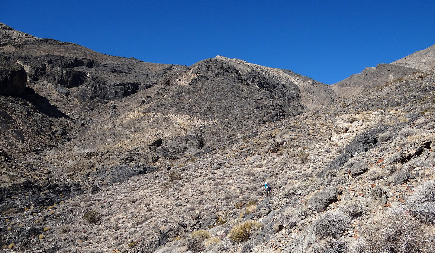
On the ridge that leads to the summit (click for a larger image)
The summit is still some distance away
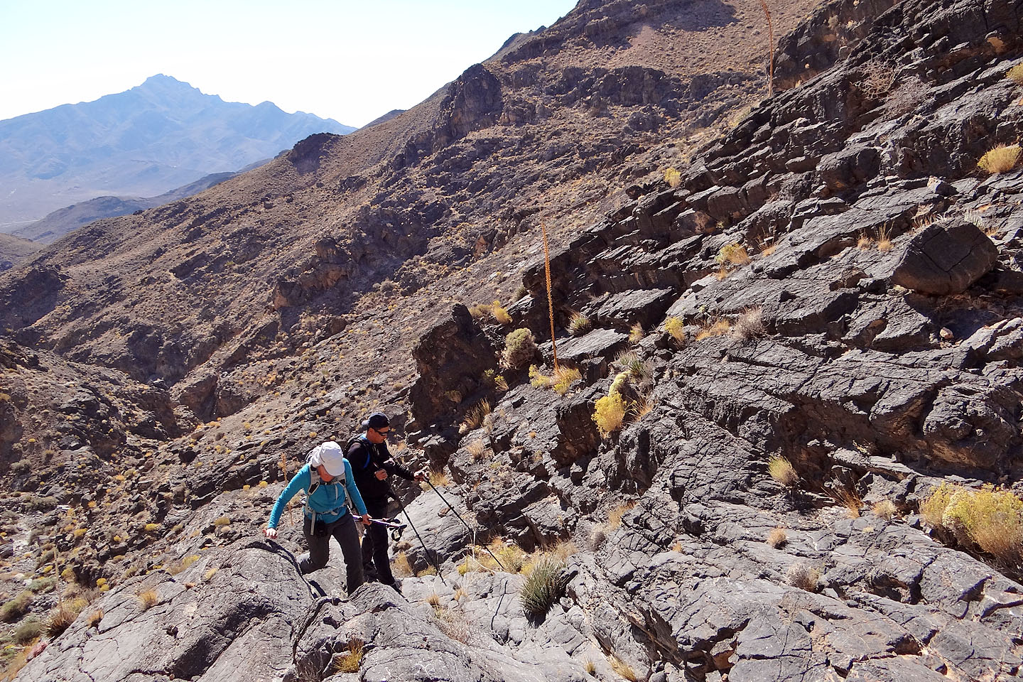
We hiked below a cliff band
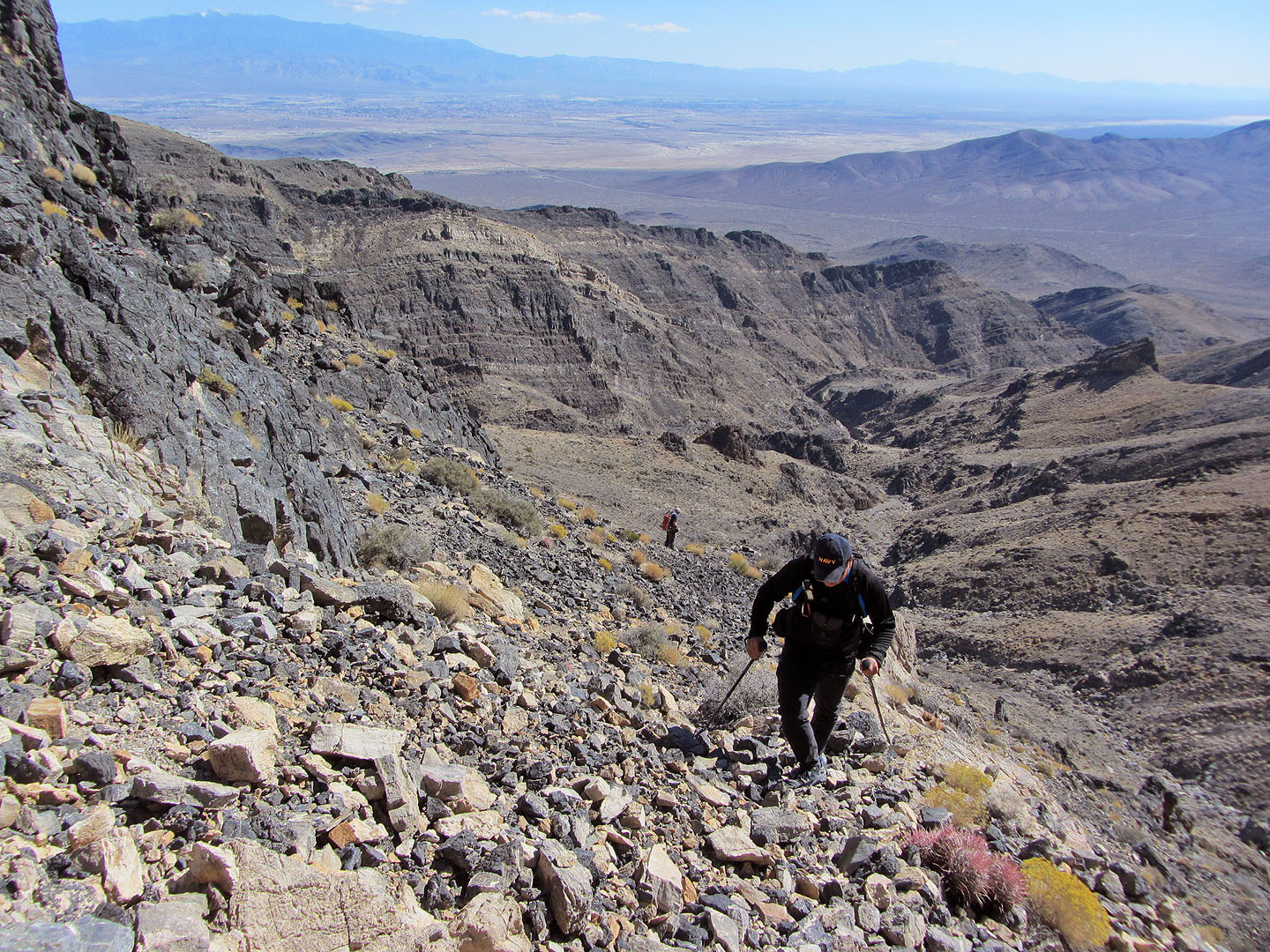
Sonny negotiates the loose rock that extends along much of the ridge
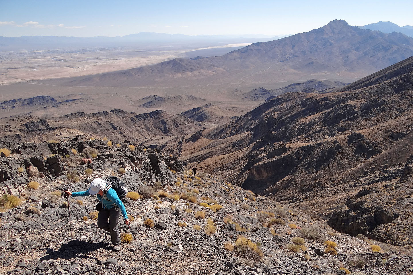
Pahrump Peak is on the right in the foreground
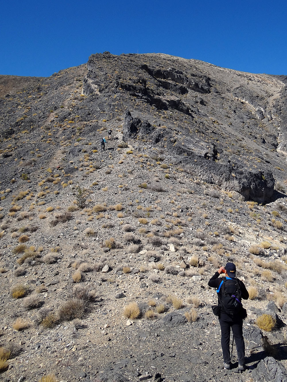
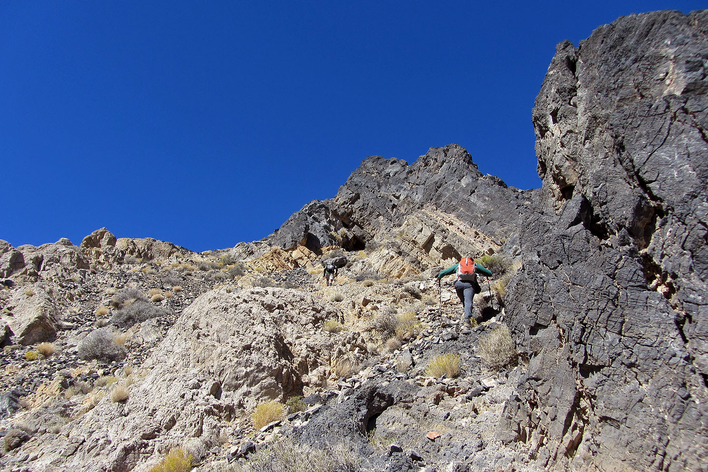
We finally found a break in the cliff band
Looking back

Mount Charleston on the left
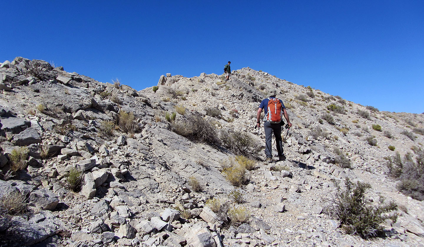
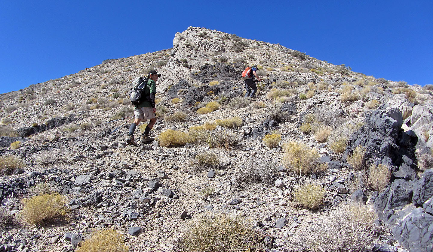
Making our way to the summit
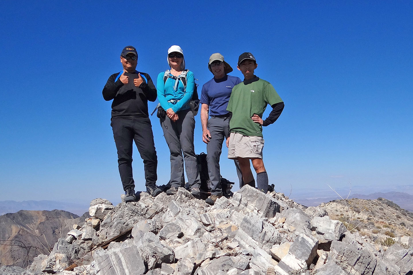
On the summit
On the descent we came down the wash
Heading back down to the canyon where we'll intersect our ascent route. On our ascent we had
continued up the canyon when we should have climbed left here.
Back in the canyon
Looking back at the canyon
Stewart Valley (7.0 mi, 5266 ft, 2516 ft)