bobspirko.ca | Home | Canada Trips | US Trips | Hiking | Snowshoeing | MAP | About
Cave Mountain
Mojave Desert, California
April 15, 2014
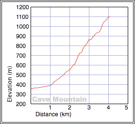
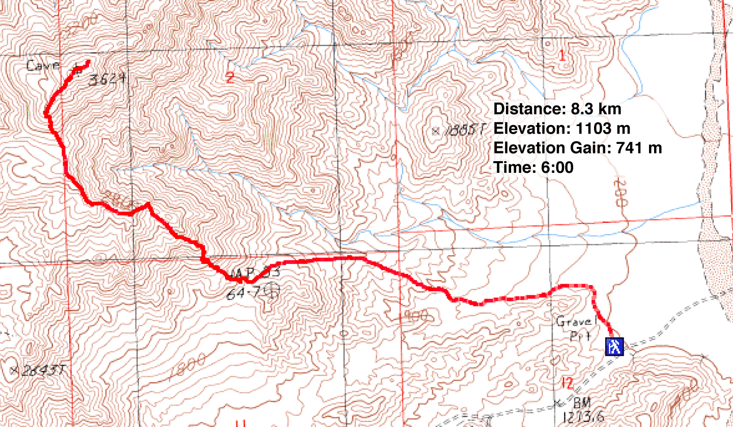
Distance: 8.5 km (5.3 mi)
Cumulative Elevation Gain: 754 m (2474 ft)
Some of the route descriptions in Andy Zdon's book Desert Peaks are adequately described while others are lacking. The way up Cave Mountain is one of those. He says to reach the southwest ridge at a likely spot. In actuality, a likely spot didn't exactly jump out at Dinah and me.
Cave Mountain lies just off Interstate 15 between Barstow and Baker, about a two-hour drive from Vegas. After turning onto Basin Road, a good gravel road even for sedans, we parked at the trailhead. From there we spied a pass that seemed like a good place to gain the ridge although low ridges hid the way there.
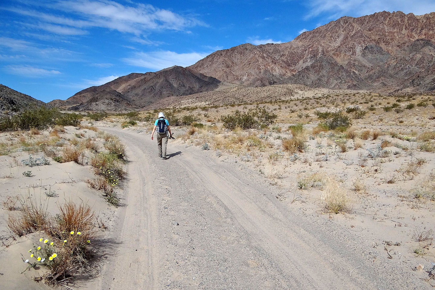
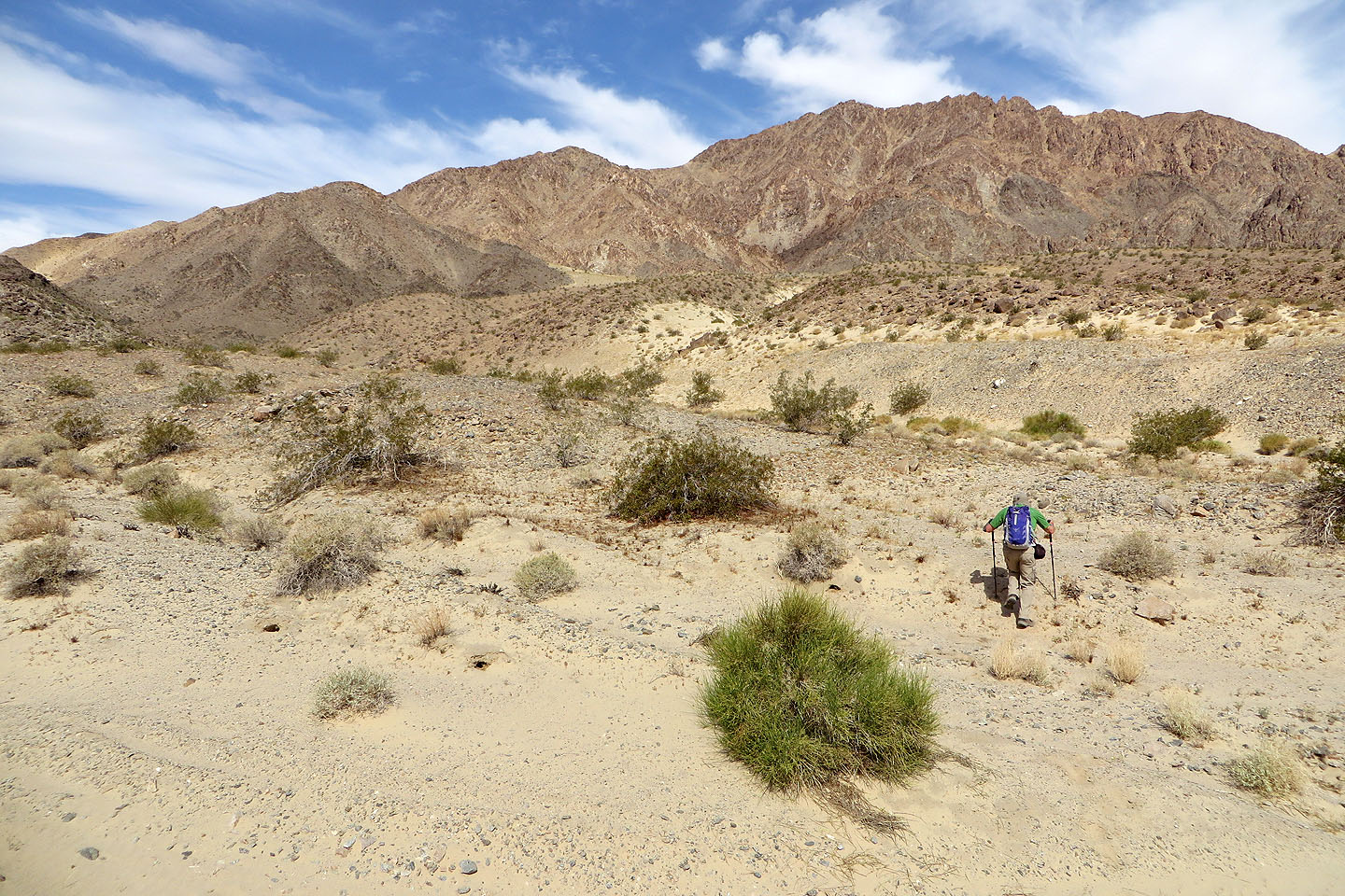
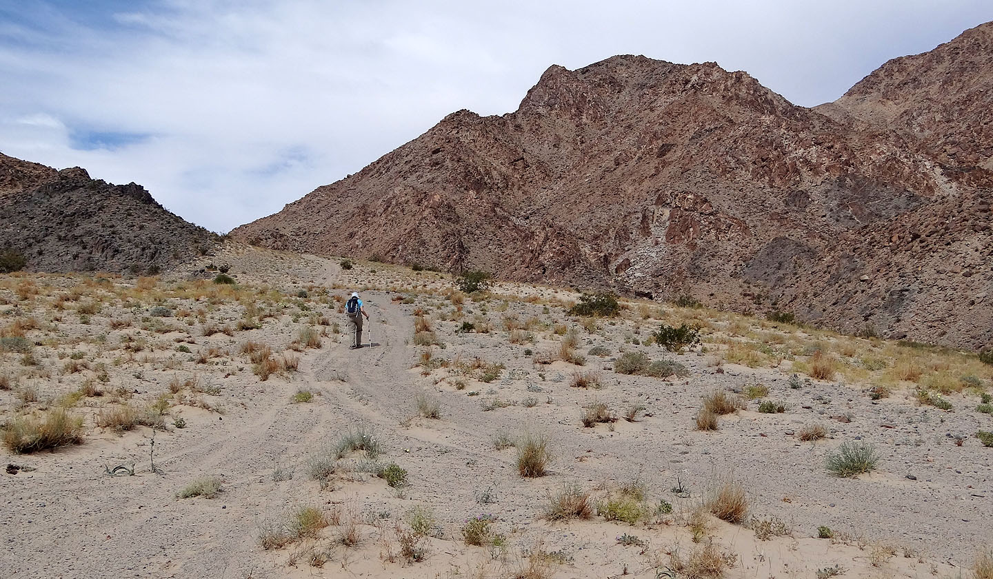
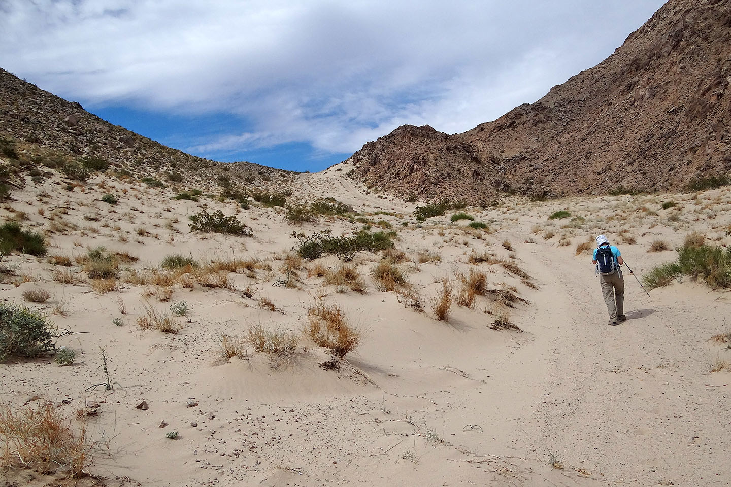
We started walking north up a road, following it as it curved up a wash. But the soft sand underfoot hampered us and with the temperature rising fast, we wanted to reach cooler elevations and hopefully catch a breeze. We soon left the sandy road and started up a low ridge. After turning a corner, we found a sandy road – likely the same road we started up – that went to the pass. Just before topping out at the pass, though, we cut right and hiked over a rocky rise.
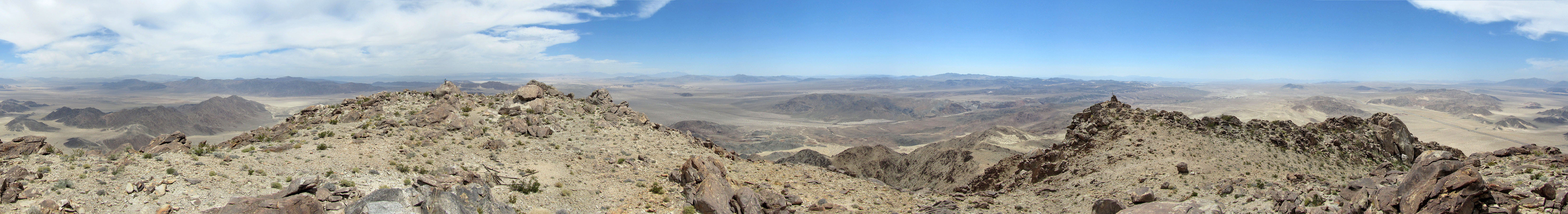
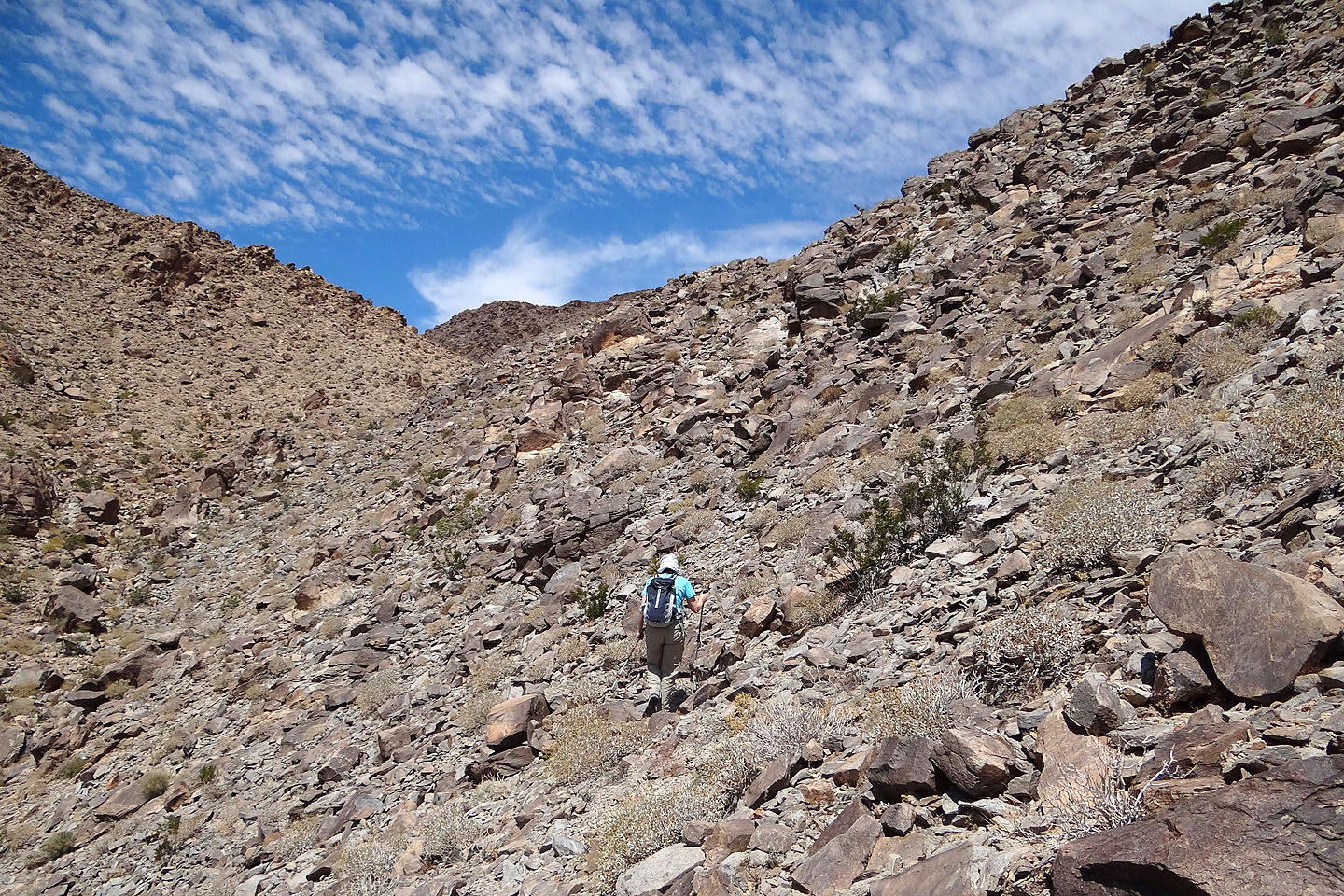
After going over the rise, we crossed a wash and then angled left to gain a narrow ridge. Ahead, steep rock prevented us from directly following the ridge so we skirted left and found a ramp that climbed to a saddle. Here we could relax our routefinding efforts; we needed only to follow an undulating ridge as it curved around to the summit. We made our way to the top of Cave Mountain.
The summit was an interesting affair. Rather than being an apex, it was a plateau studded with huge boulders, the largest of which was the highest point. We stopped for lunch in the shade of the summit rock.
I found the temperature on the summit agreeable, but Dinah complained about the heat. After relaxing we packed up and started back, the temperature rising as we dropped down. It wasn't until we reached the pass that Dinah realized she was sick, likely suffering from the onset of heat exhaustion. She was nauseous and felt so dizzy she feared she would faint. She stopped to take a drink. Along with Powerade, we had brought several litres of water and still had plenty left. I soaked a bandana in water and wiped her forehead. Then I wrapped it around her neck and doused it with more water. I offered to carry her pack, but she wanted to push on without stopping; she was determined to get to the car as soon as possible.
When we were a few hundred metres from our car, I dashed ahead so I could turn on the car's air conditioning. The dashboard indicated an outside temperature of 34C (93F). Shortly after, Dinah gratefully climbed into the car and soon started feeling better. We drove back to Las Vegas and by the next morning, she had completely recovered. With her ordeal down the mountain now fading, she told me how much she enjoyed our ascent of Cave Mountain.
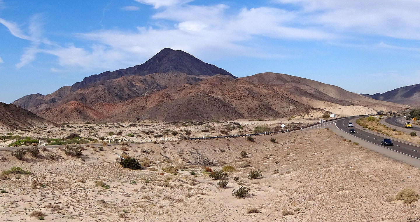
Cave Mountain from a highway overpass
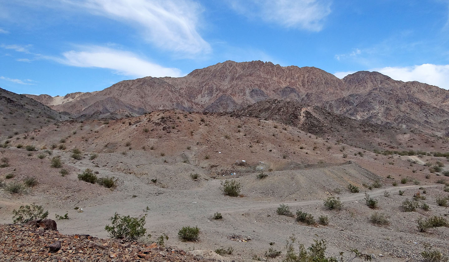
The mountain seen from the trailhead. The sandy pass is visible on the left.
Minutes after starting out, the approach road swung left. The pass is hidden above Dinah.
We left the road to climb low ridges en route to the pass
Looking back after we started ascending a low ridge. We were glad to get off the soft sand!
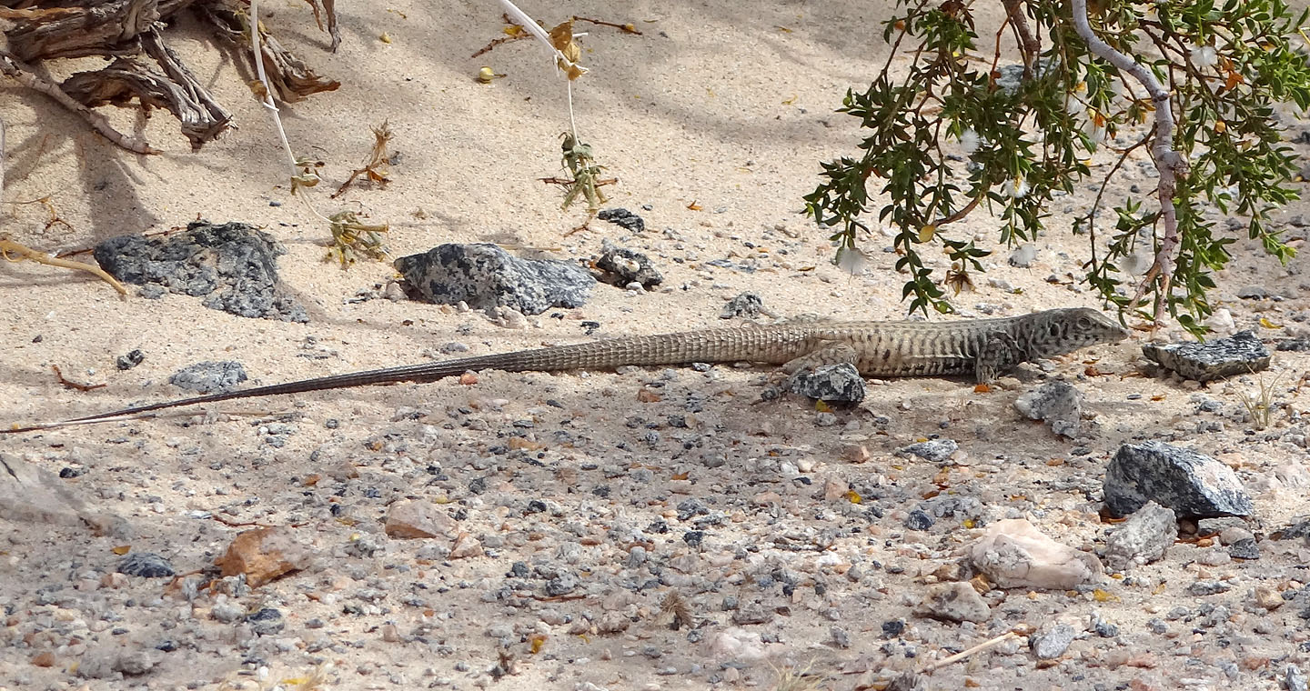
Great basin Whiptail about a foot long (mouse over for a close-up)
Back on the road
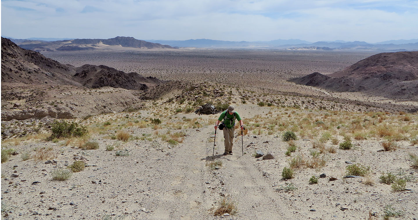
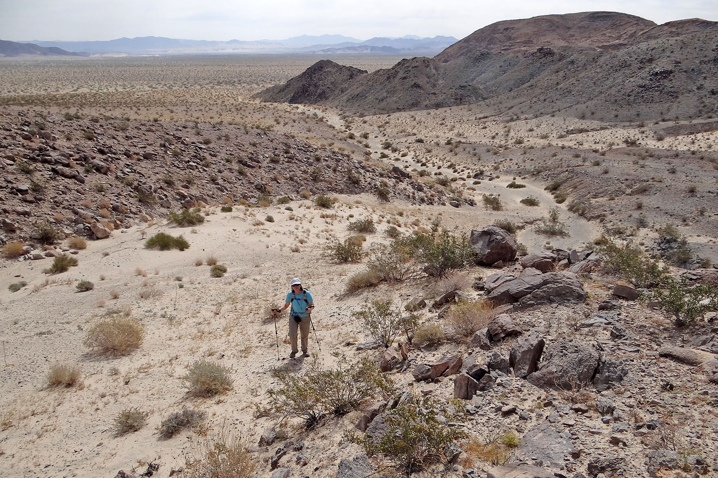
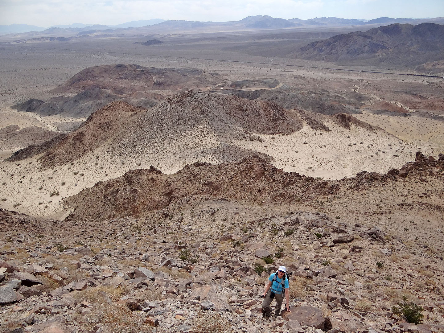
Far-ranging views behind us
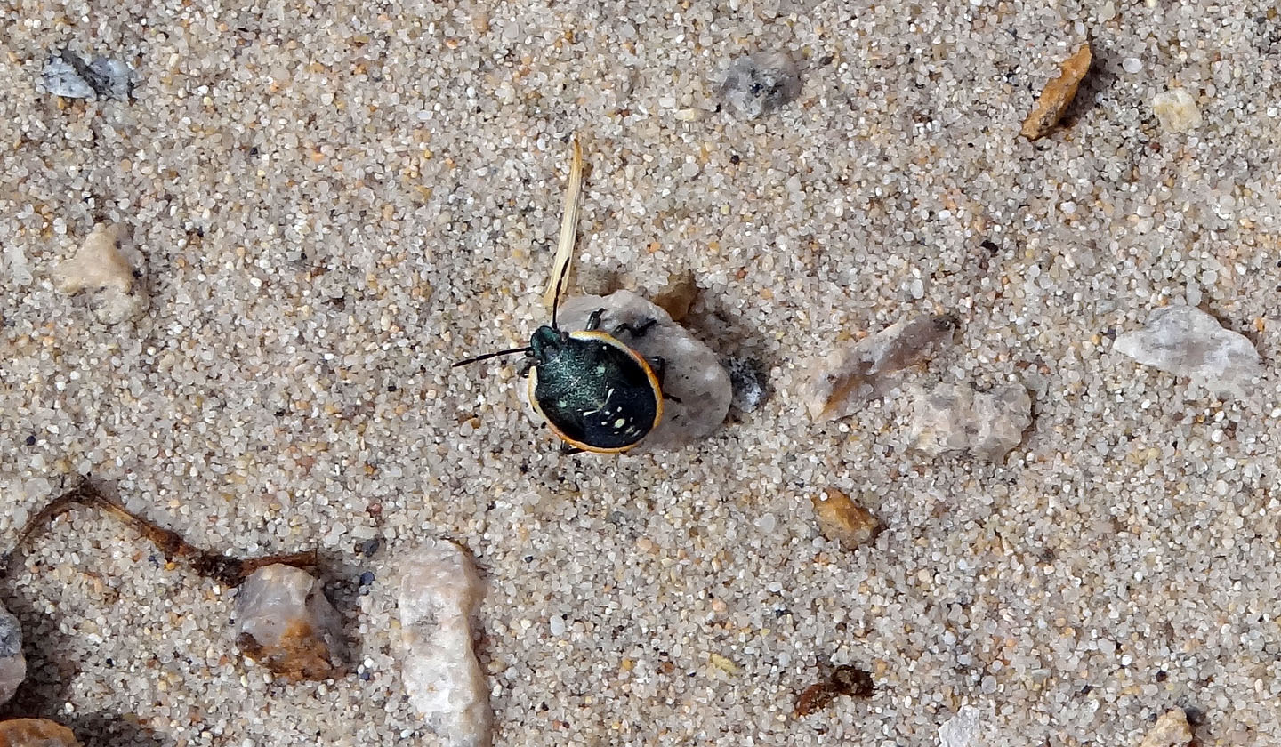
A few of these tiny beetles were crawling on the road
Nearing the pass
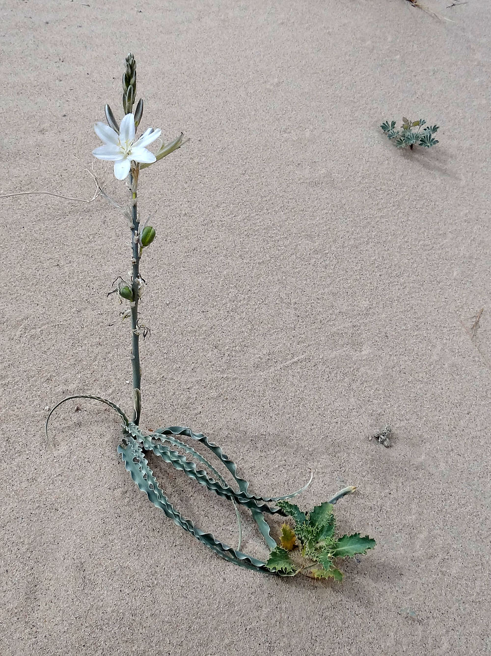
Desert lily (mouse over for a close-up)
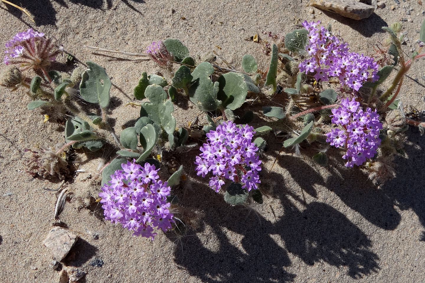
Desert sand verbena
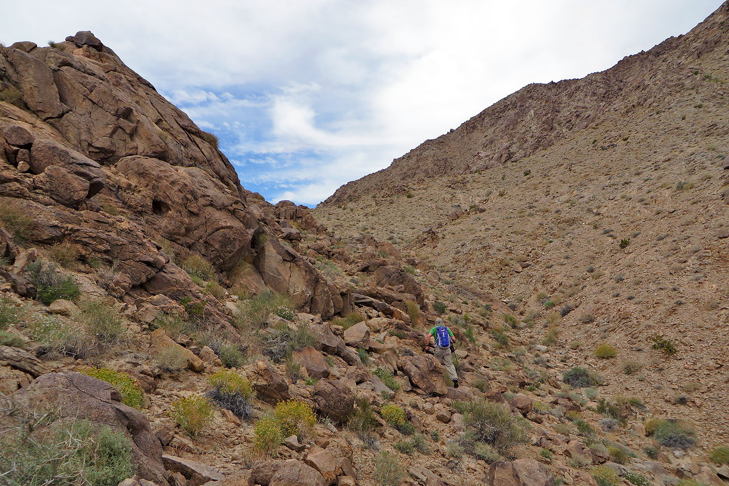
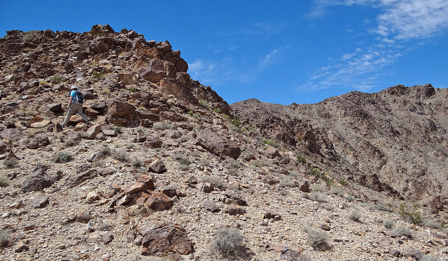
After hiking over a rise next to the pass, we headed to the ridge
Looking back at the pass
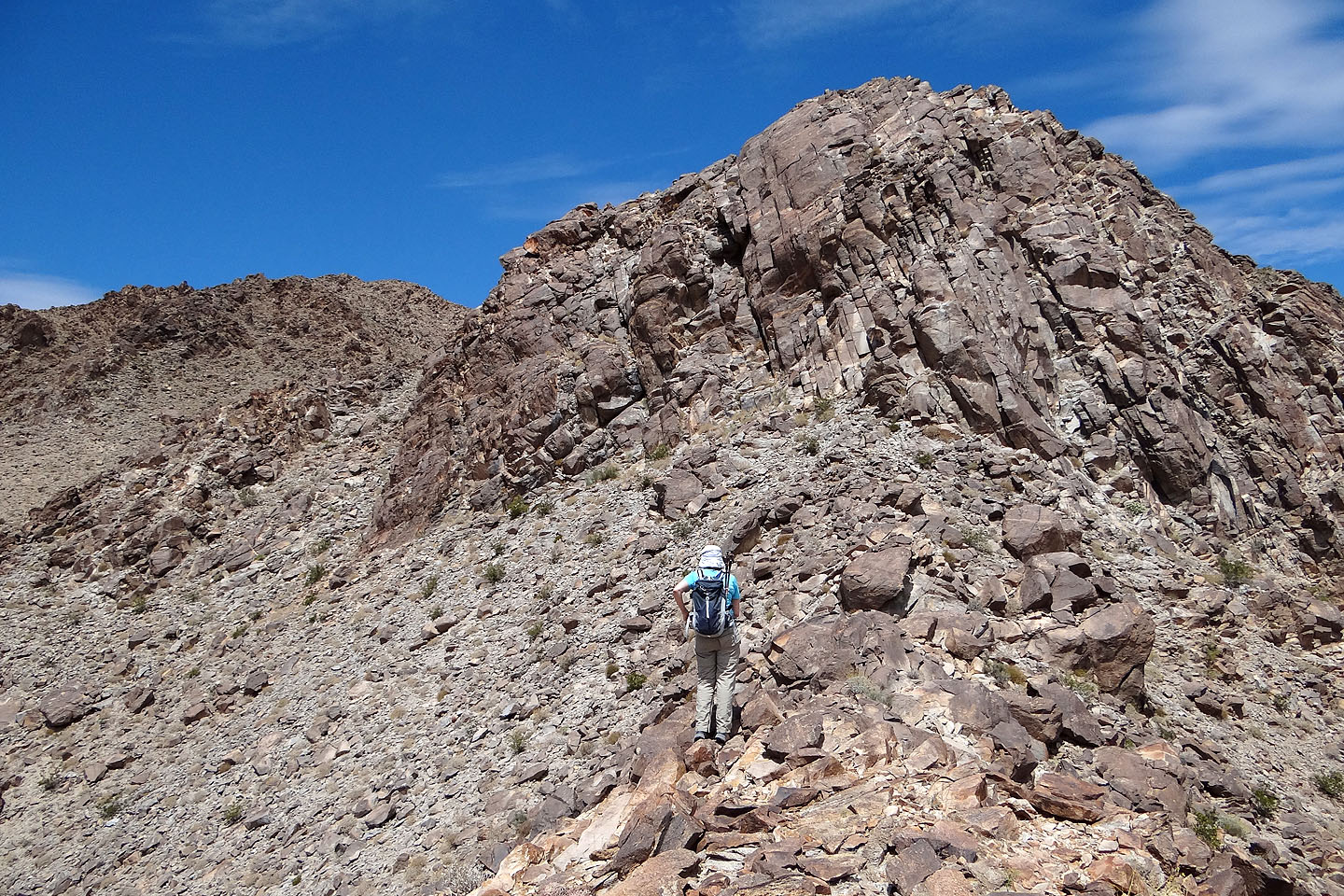
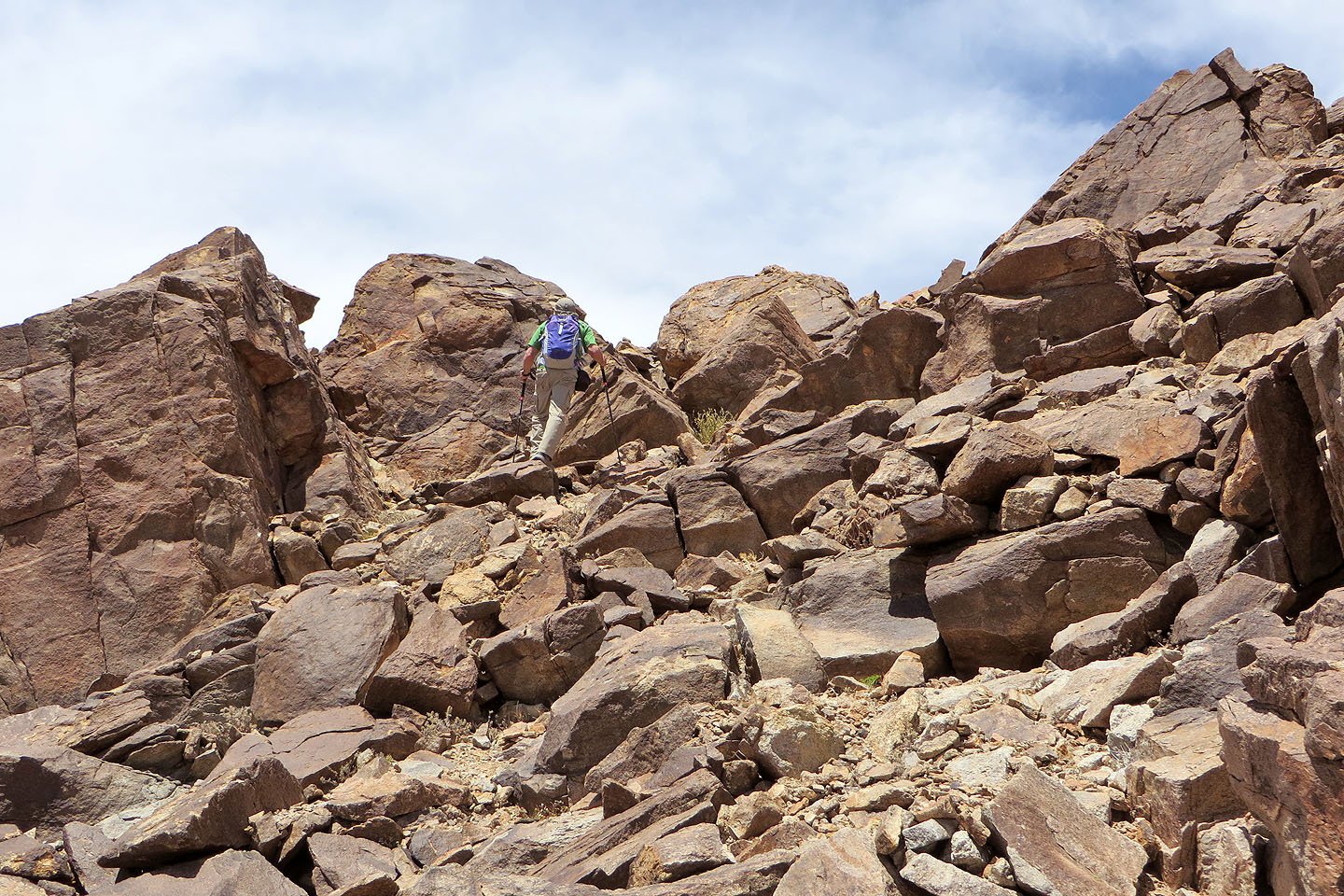
We reached the ridge crest only to realize we had to skirt left around steep rock
We'll regain the ridge at a saddle
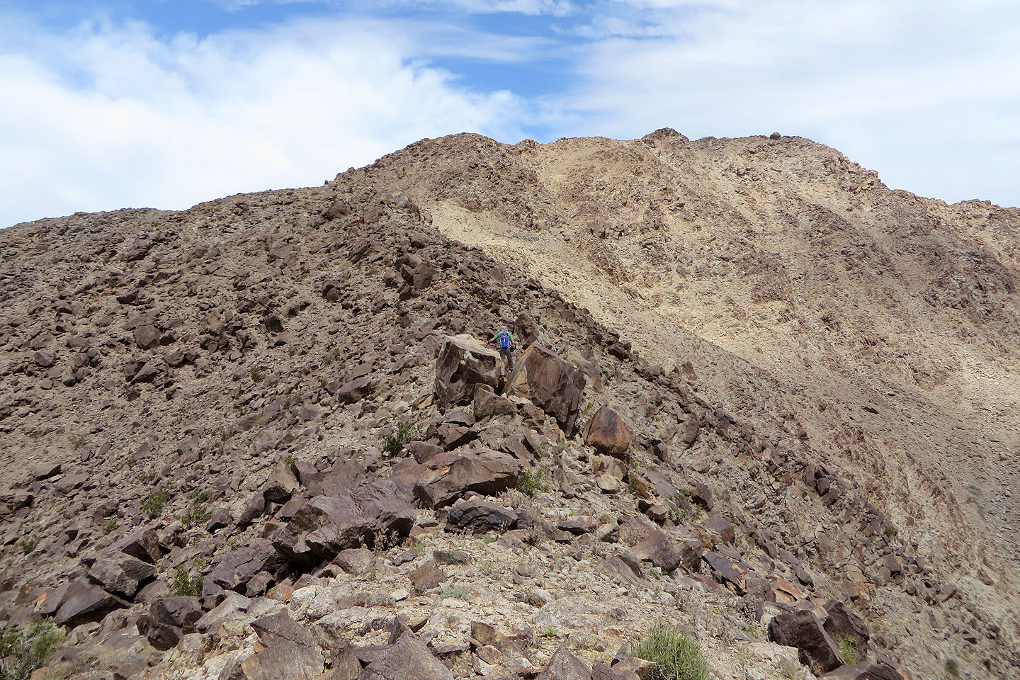
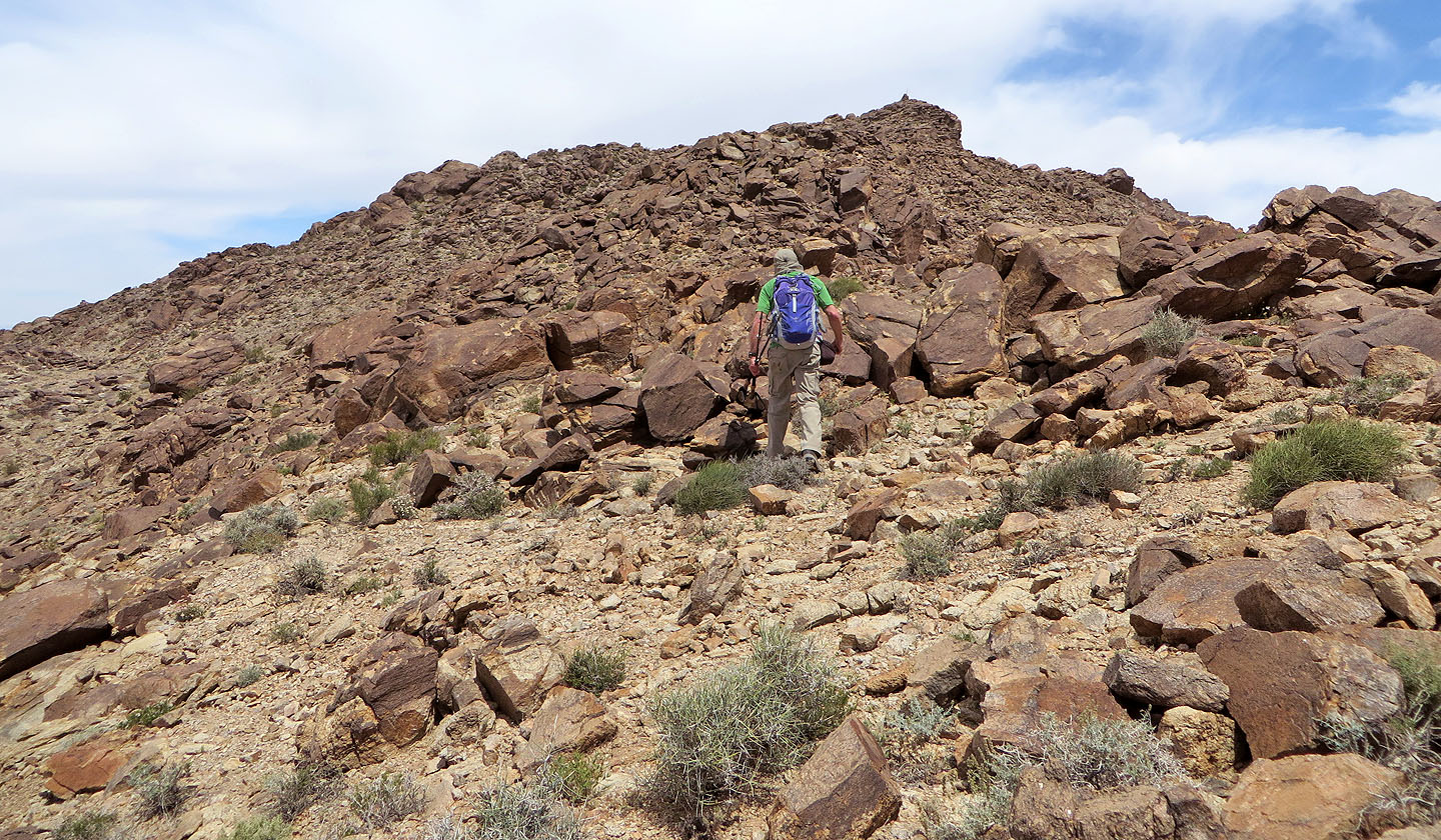
From the saddle we followed the ridge as it curves around to the summit
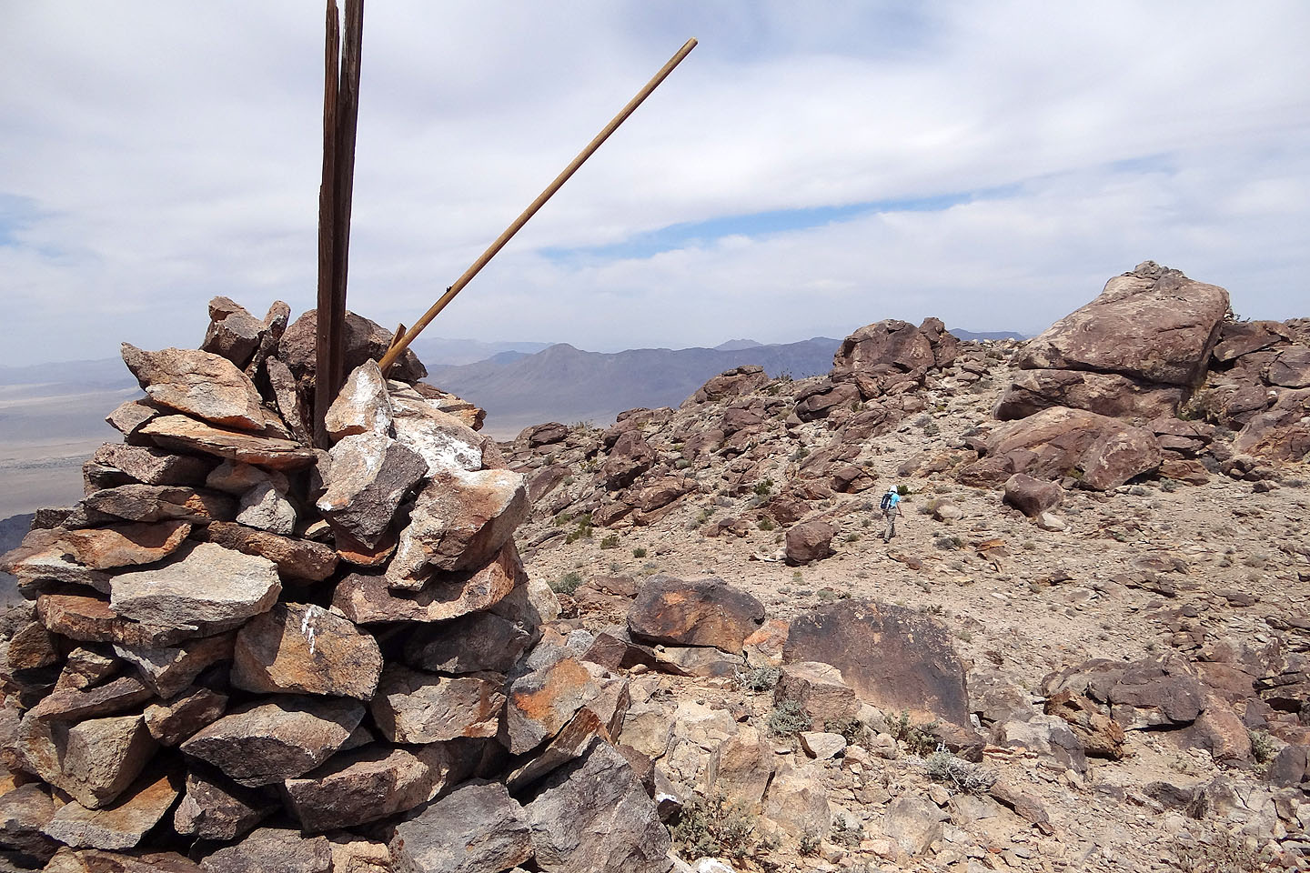
Working our way along the ridge to the summit boulder on the right. The cairn is on the rock pile left of it.
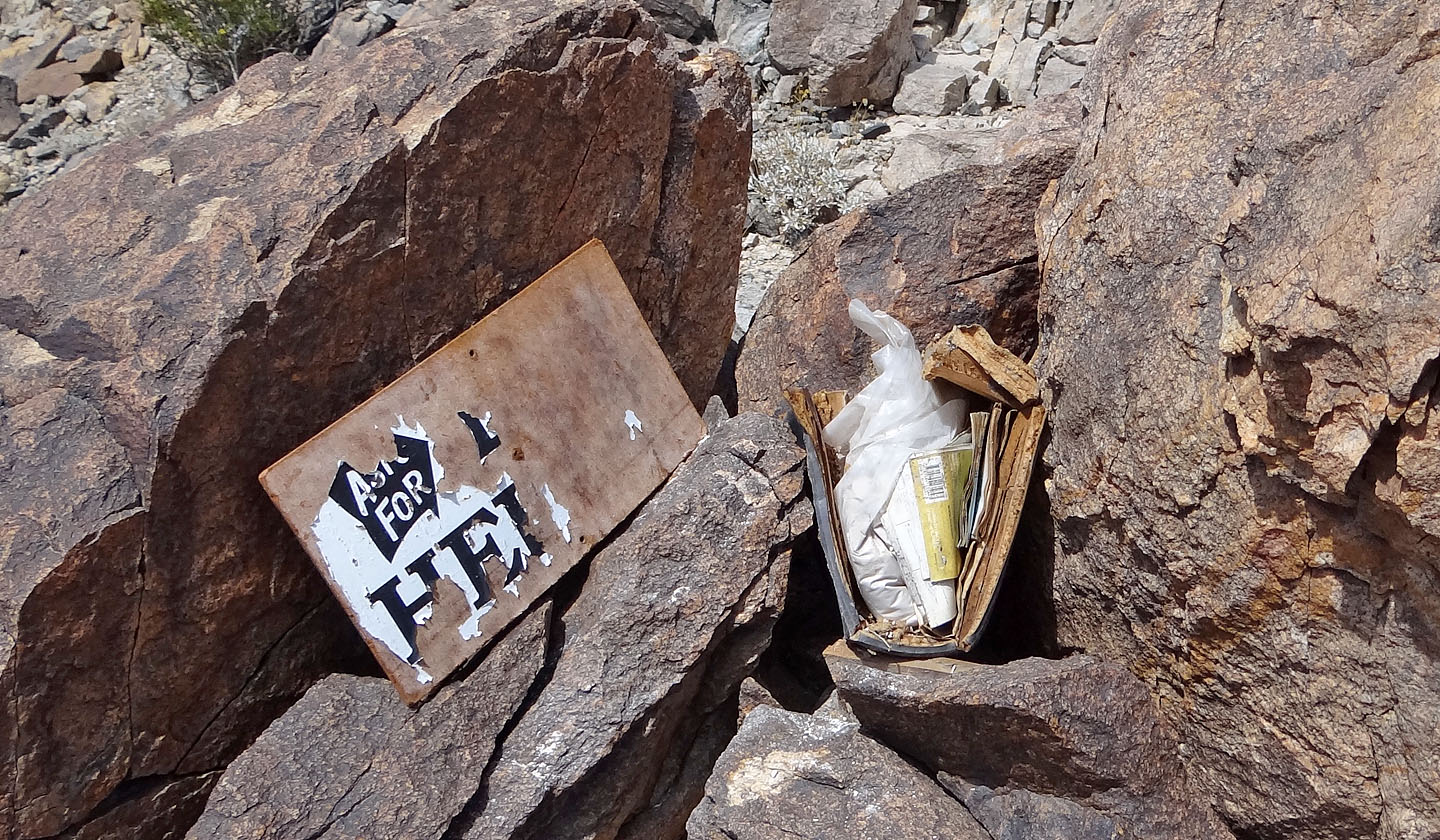
A mysterious find on the ridge: an "Ask for Help" sign, dozens of road maps and a bag of
what appeared to be plaster. But we didn't need help or maps to get to the summit from here.
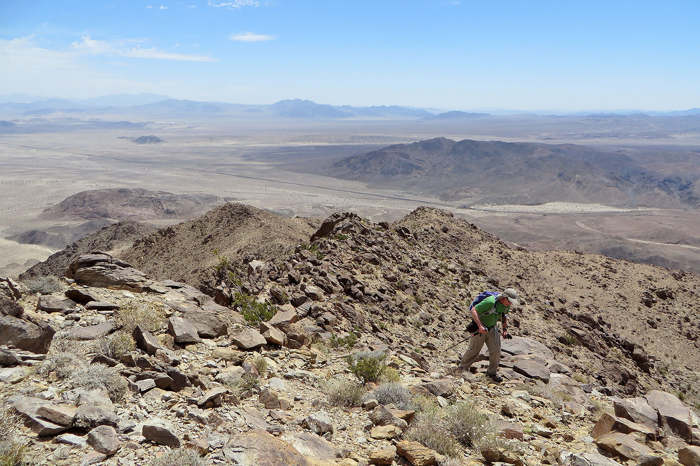
Looking back along the ridge
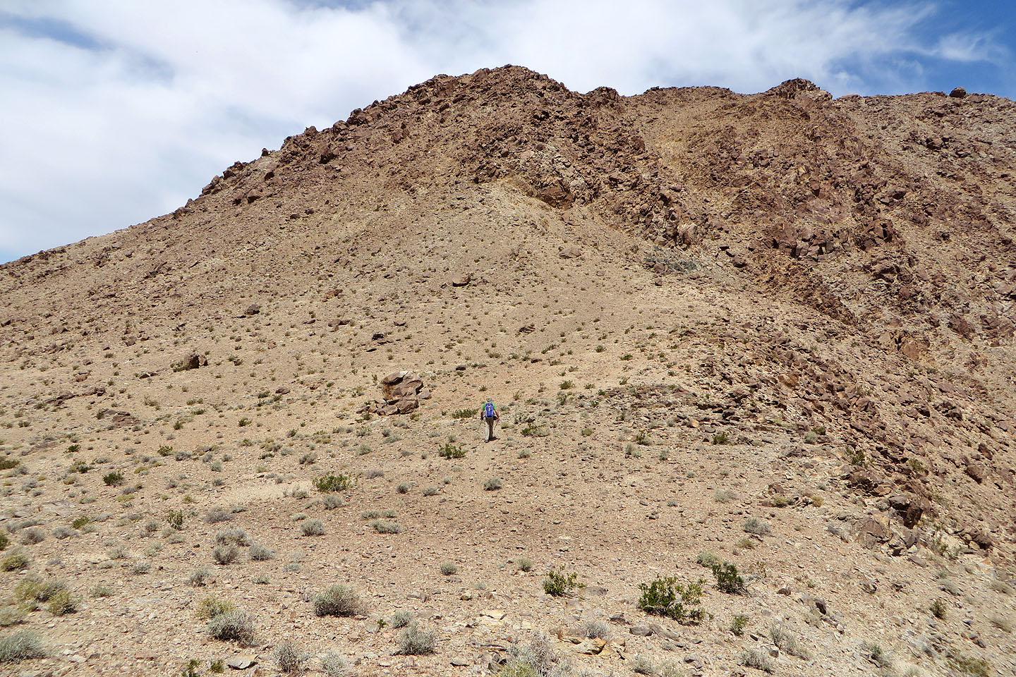
We crossed a plateau below the summit
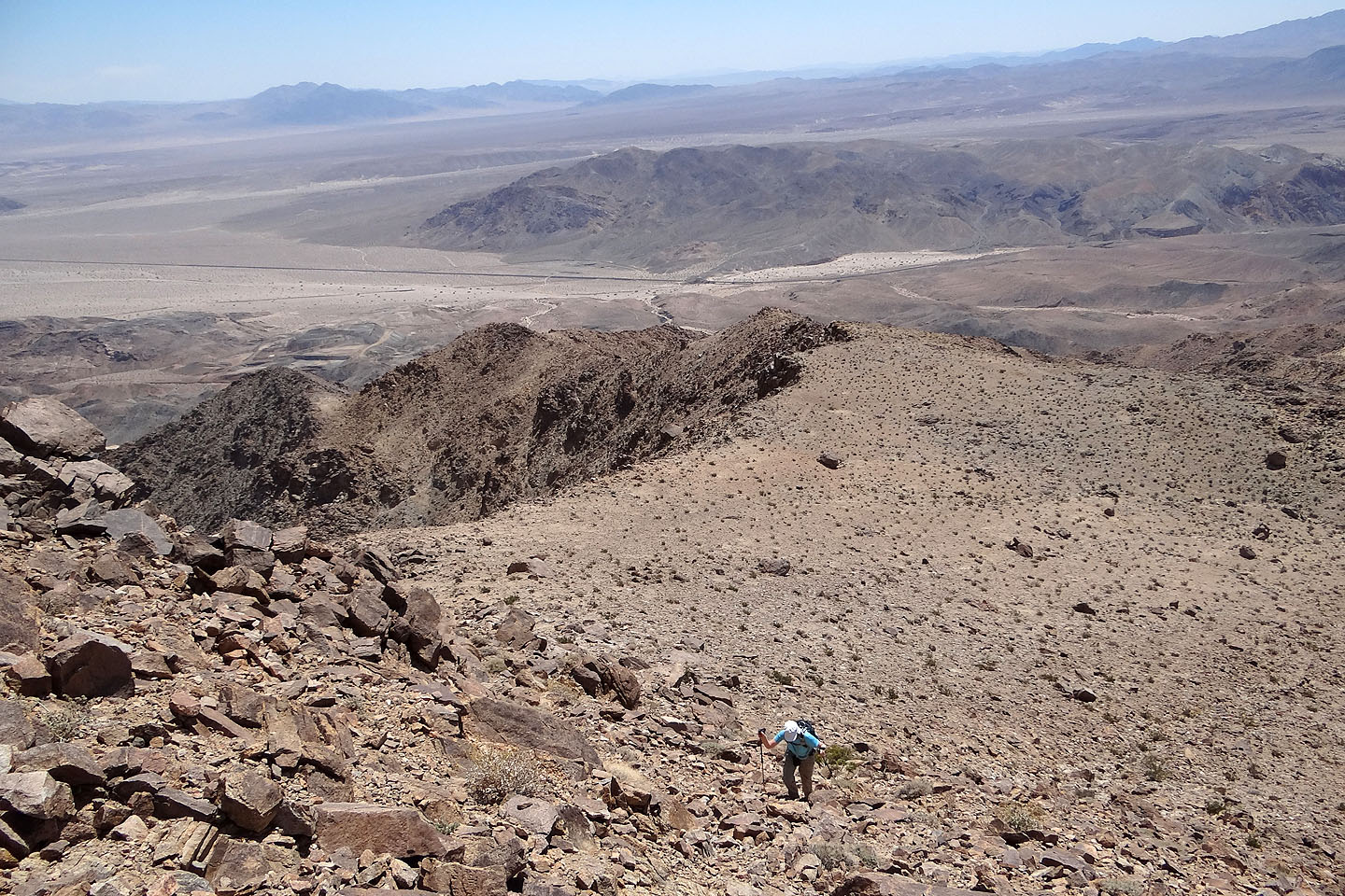
Looking back all the way to the saddle

Climbing a steep section
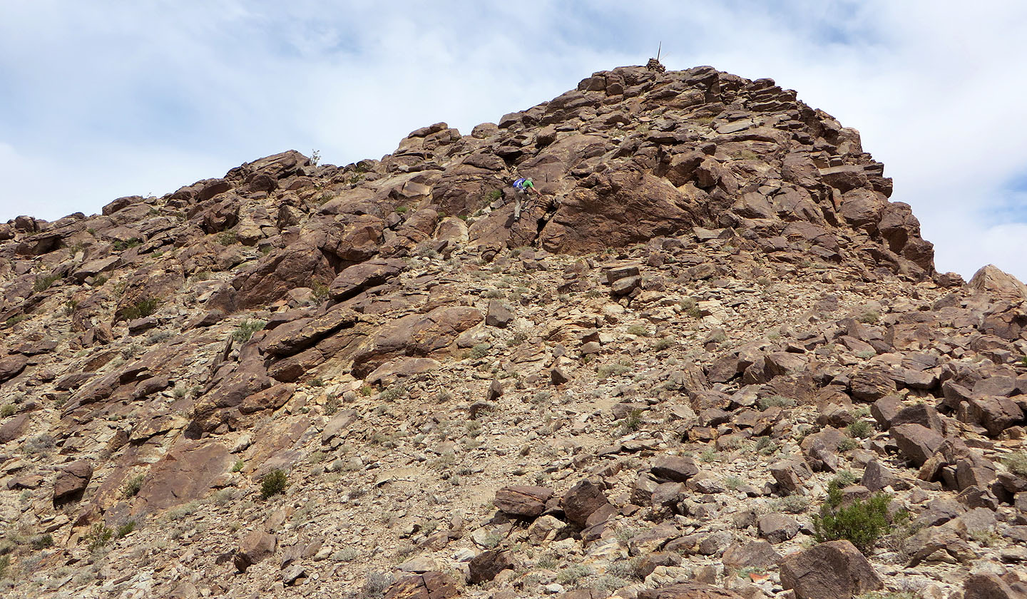
Large boulders before the summit cairn
The summit cairn appears
Scrambling up to the cairn
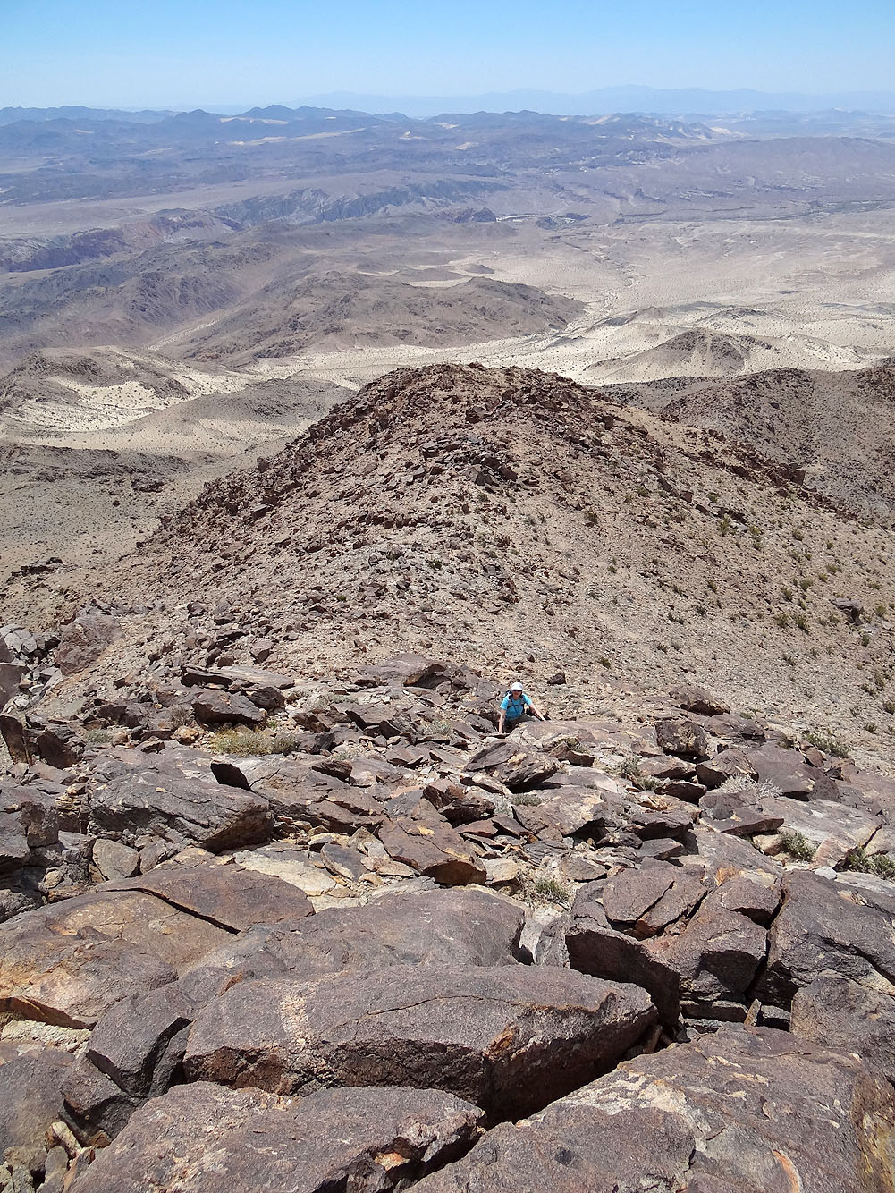
Looking back from the cairn
The highest point is a house-size boulder pile not far from the cairn
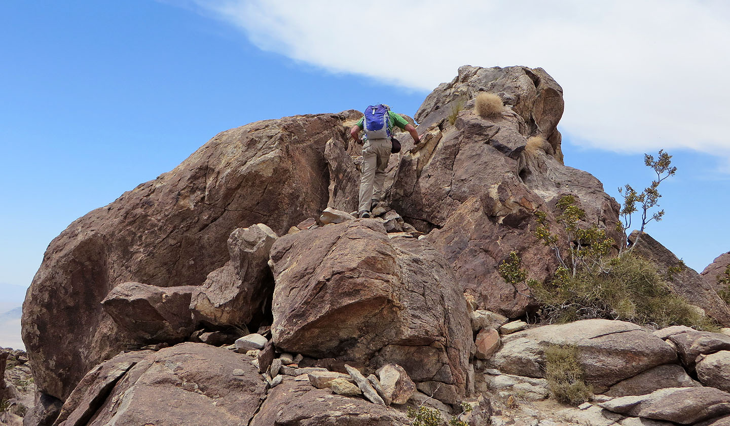
It's an easy climb to the top
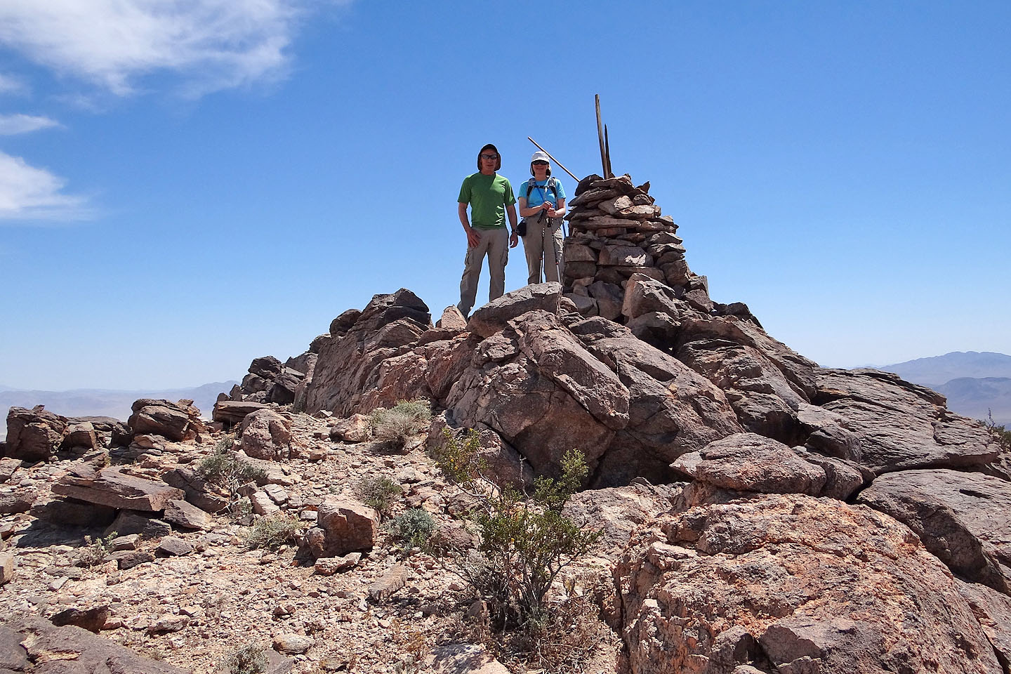
Posing at the cairn
Cave Mountain (5.3 mi, 3619 ft, 2431 ft)