bobspirko.ca | Home | Canada Trips | US Trips | Hiking | Snowshoeing | MAP | About
Sugarloaf Mountain
Lake Mead NRA, Arizona
April 14, 2016
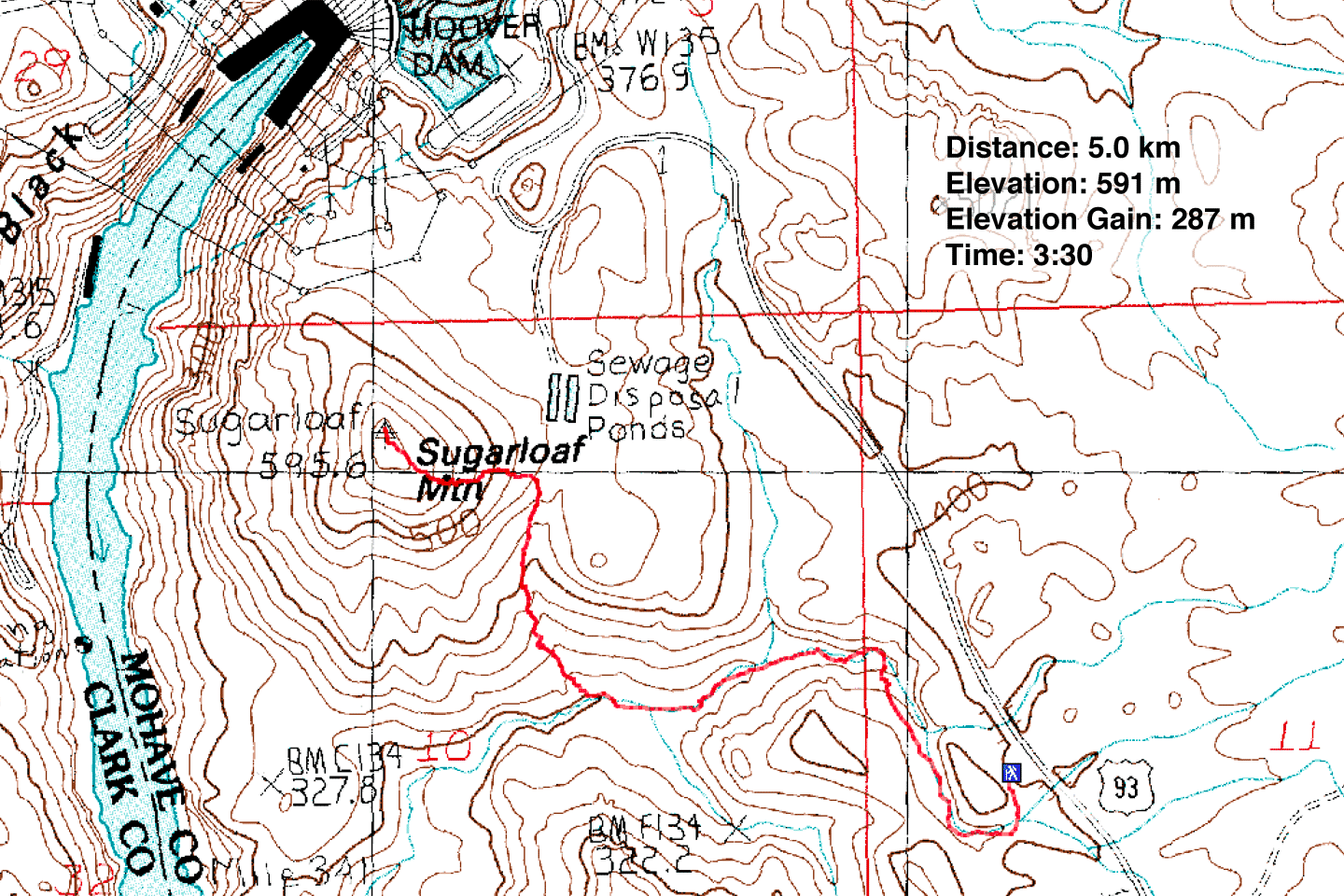
Distance: 5.0 km (3.1 mi)
Cumulative Elevation Gain: 375 m (1230 ft)
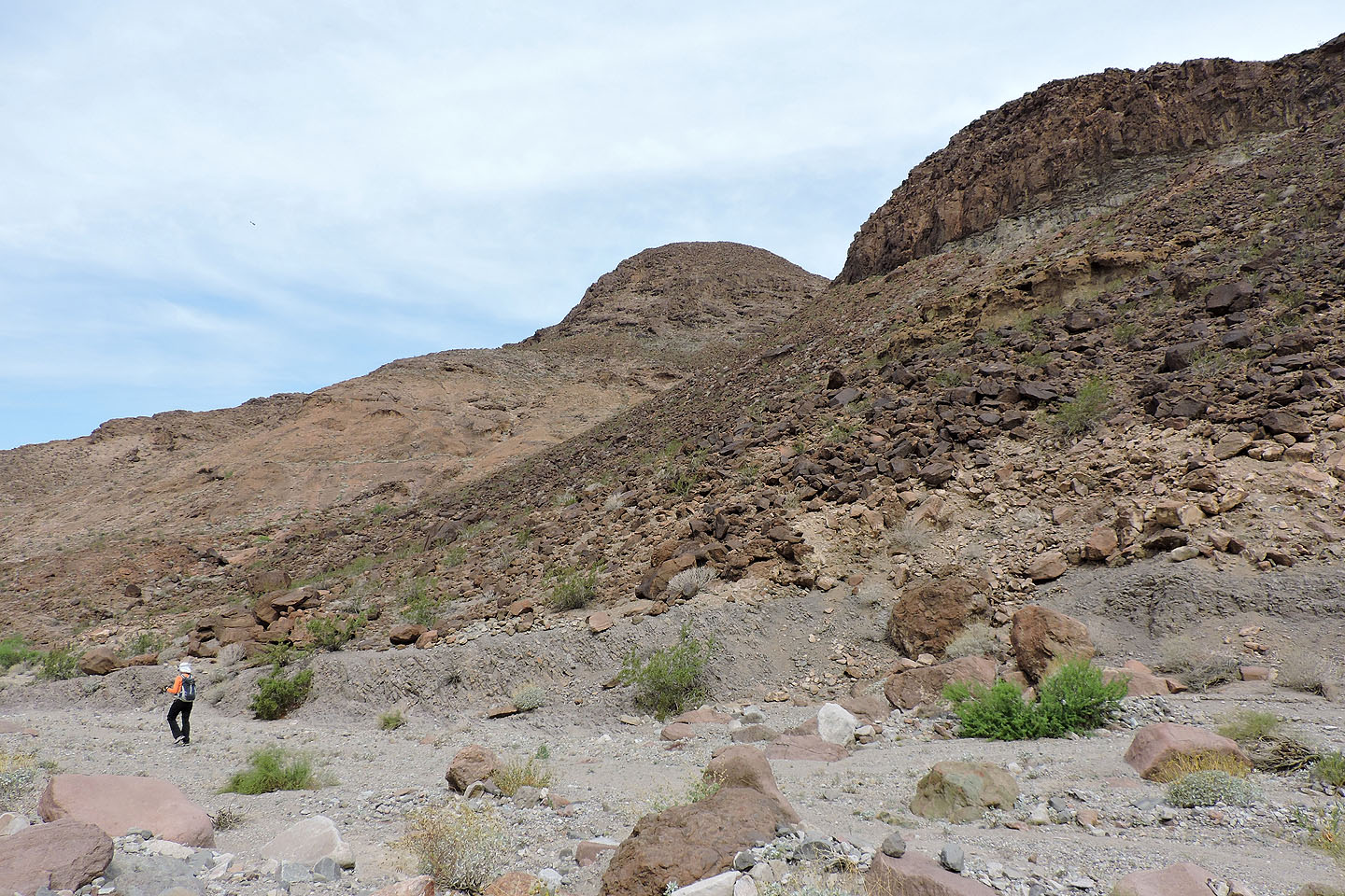
Sugarloaf Mountain is a tiny peak that stares down at Hoover Dam. I could find little information on how to reach it, other than where to park: one mile south of the mountain on Highway 93, at the first exit after the bridge. Parking isn’t allowed at the foot of the mountain.
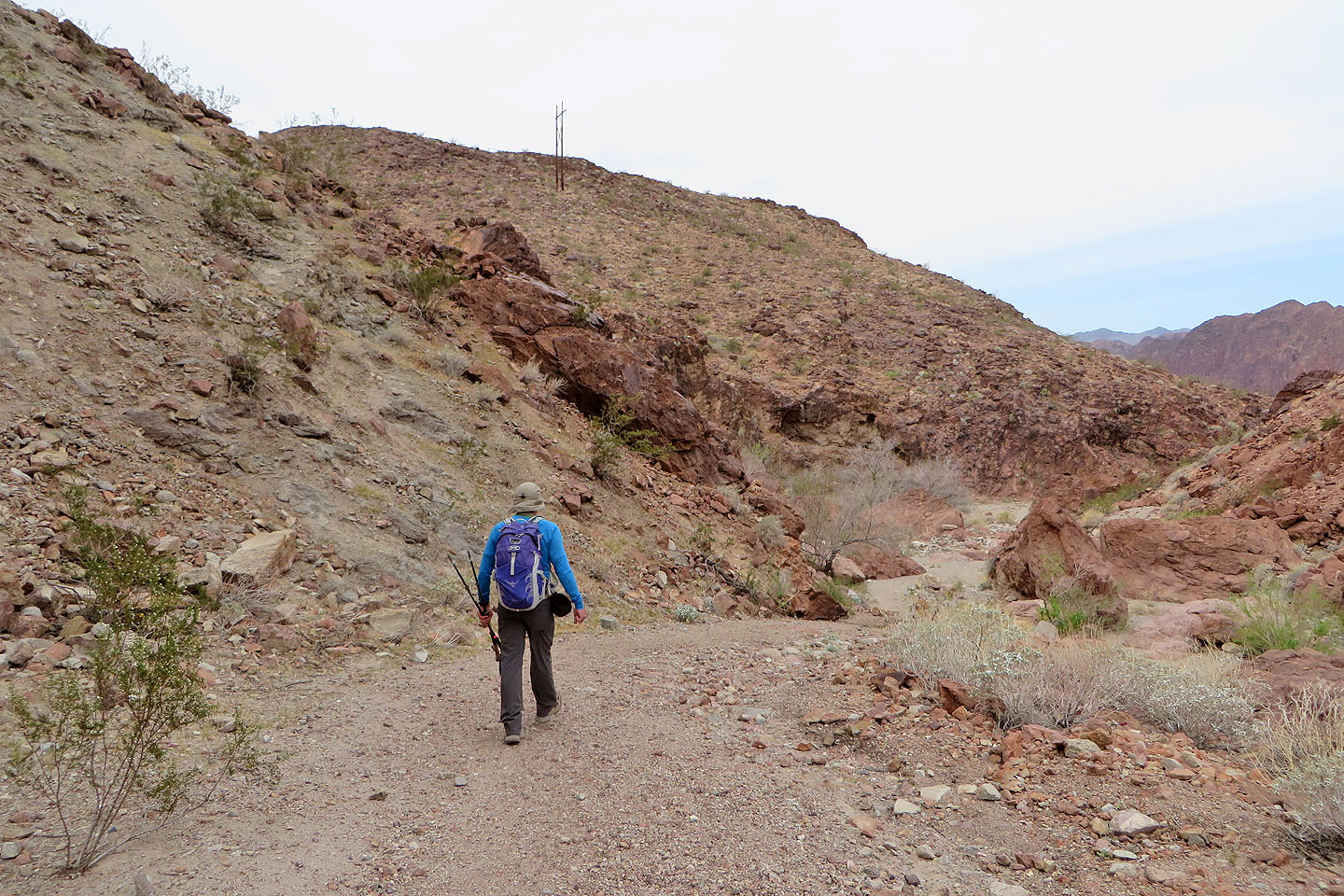
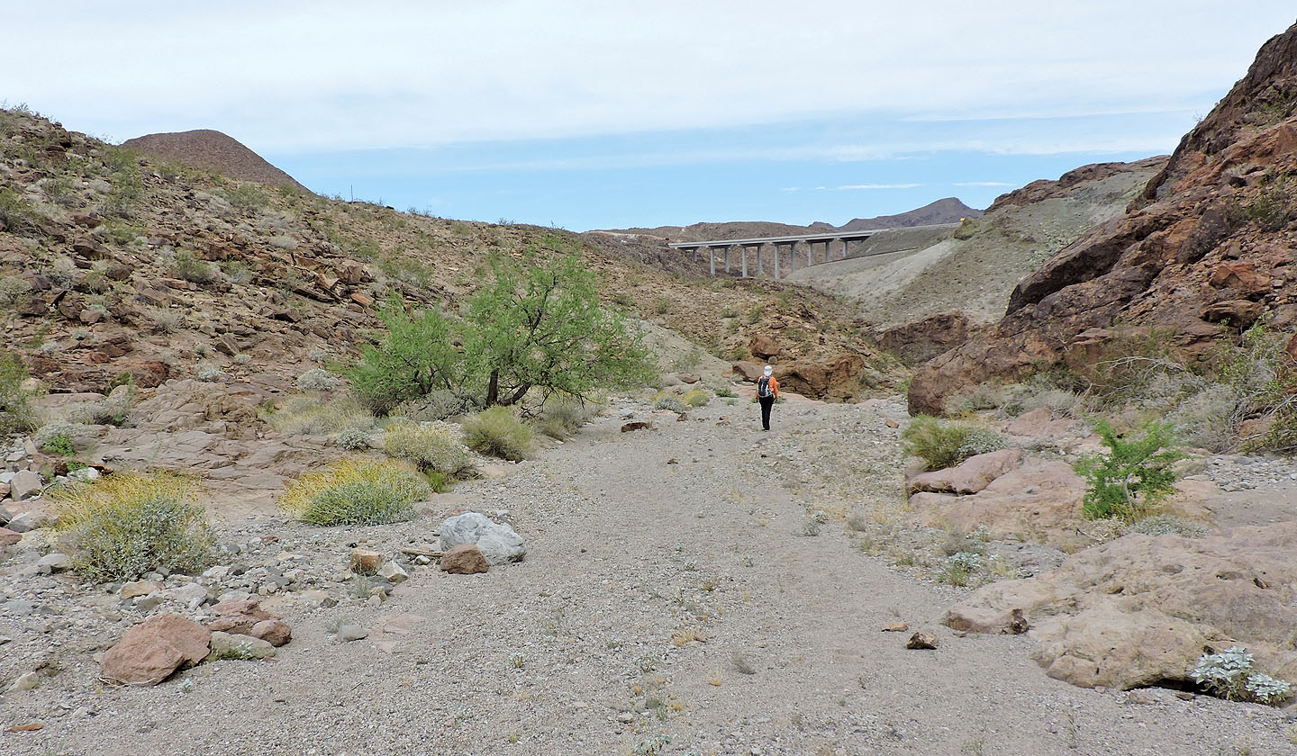
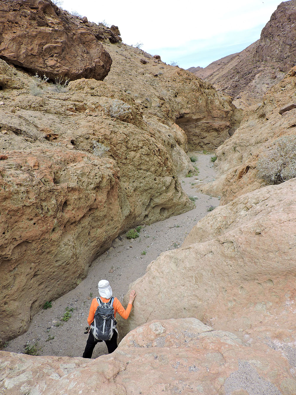
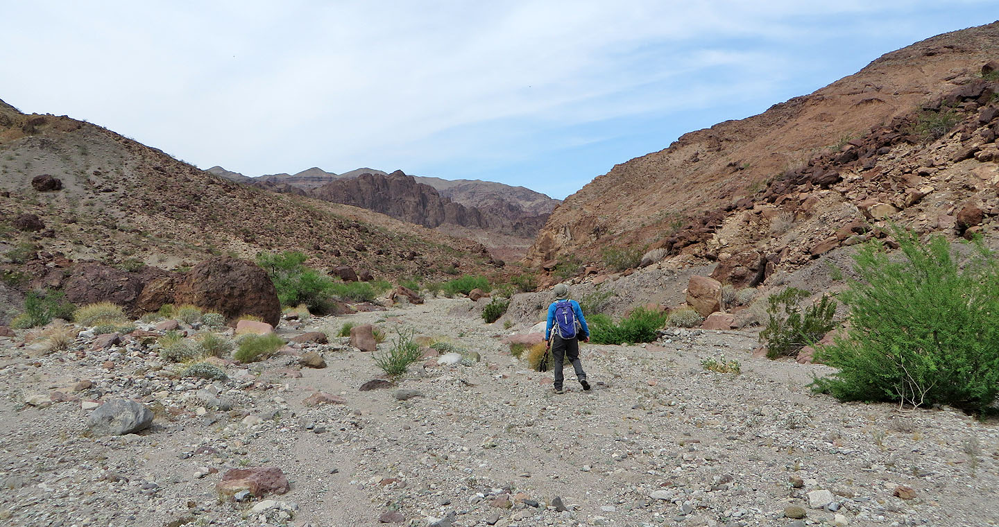
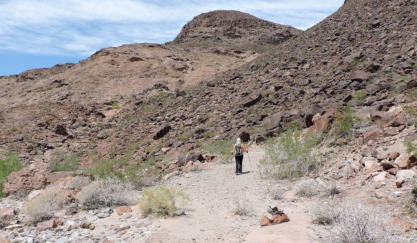
From the parking lot, Dinah and I dropped down into a wash and followed it north. But staying in the wash proved to be impractical because of huge boulders and big drop-offs, so we bore left onto a ridge. We hiked down the ridge, down to where it met a broad, gravelly section of the wash. The wash soon disappeared into a delightful little canyon before spreading out again.
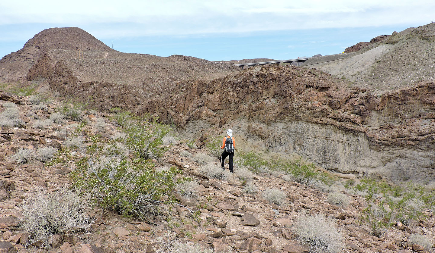
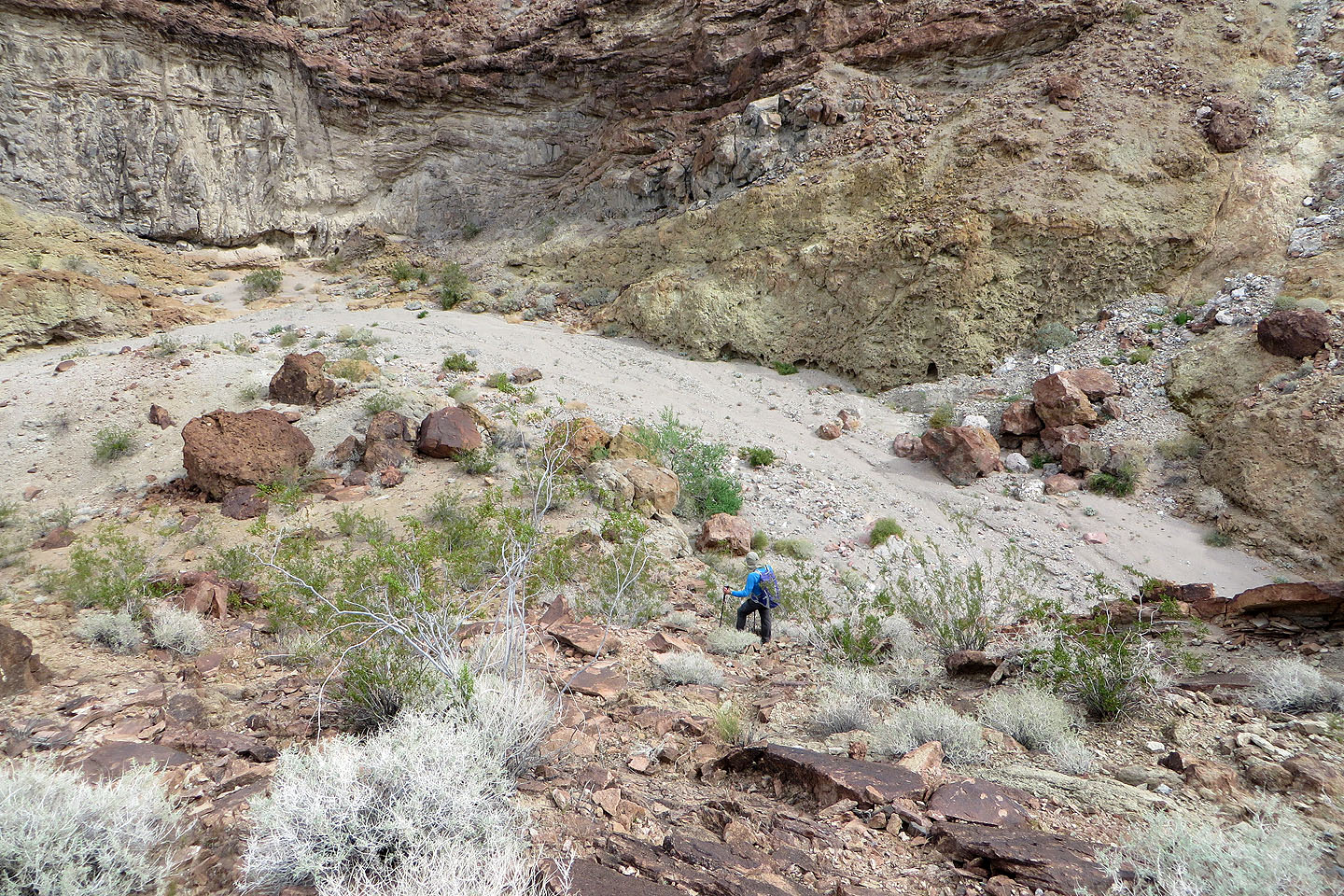
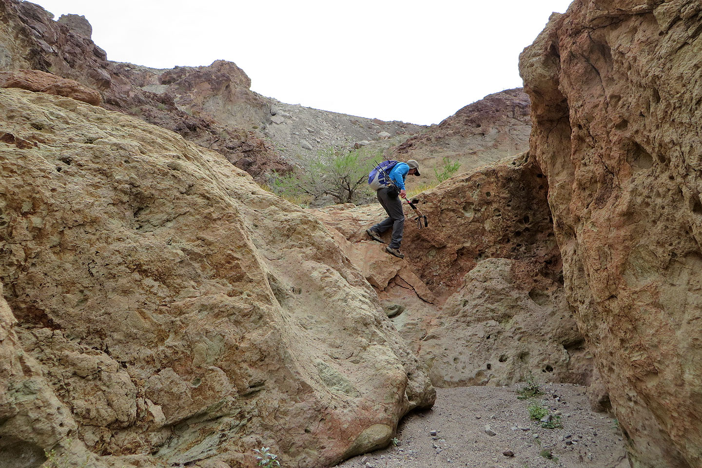
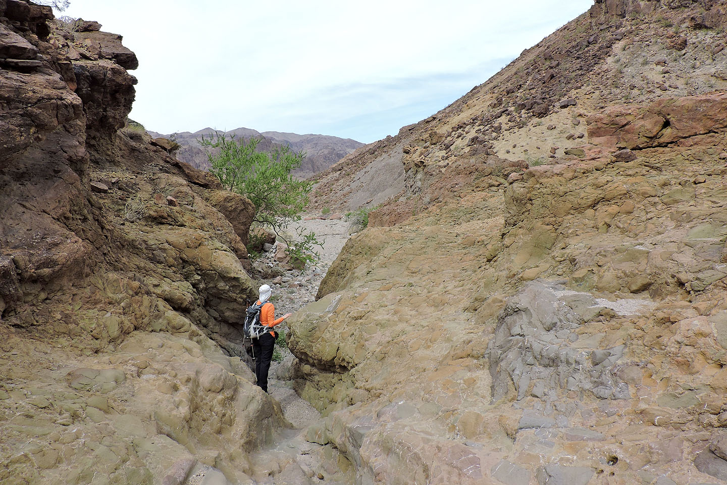
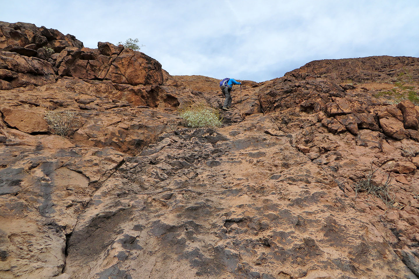
On our right, topping a steep slope, cliffs barred the way. We stayed in the wash until we reached a side wash on our right. On the left side of this wash, we enjoyed hiking up smooth rock, sentiments, we later learned, echoed in the summit register. Then we left the rock and headed to a breach in the cliffs. At the top of the breach, we gazed up at the rock-strewn east slope of Sugarloaf Mountain. As we picked our way up through the rocks, the hum of tires on the pavement below and the throb of helicopters overhead broke the tranquillity.
On the summit, we loafed around, had lunch and signed the register. Then it was time to go. It looked possible to walk back to the trailhead along the highway, but we looked forward to hiking through the washes and the canyons a second time, so we retraced our steps. It may be small, but the hiking is sweet on Sugarloaf Mountain.
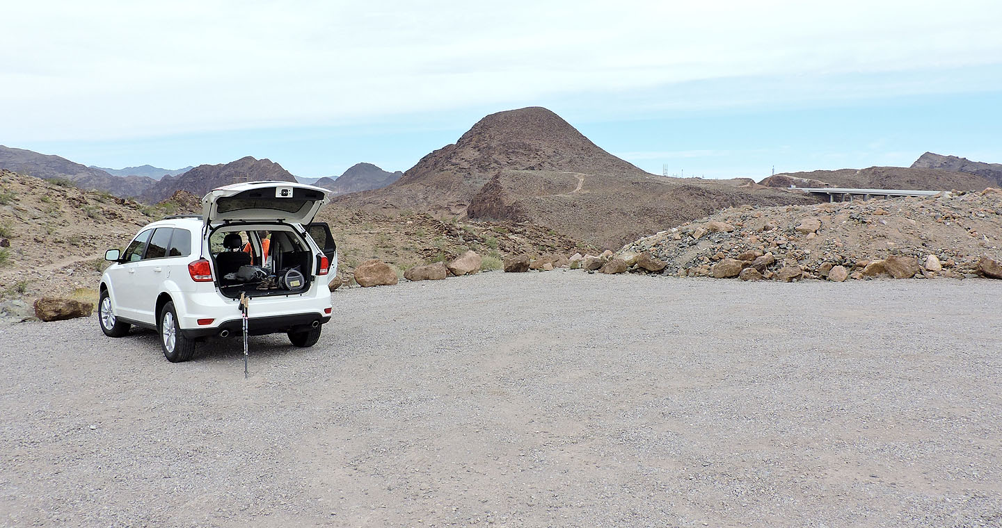
Sugarloaf Mountain seen from the trailhead
From the parking lot we dropped into a wash
We exited the wash ahead and hiked along the ridge. Later I learned it's feasible to go left, over the ridge
and drop into a side wash. Either way reaches the same point in the main wash.
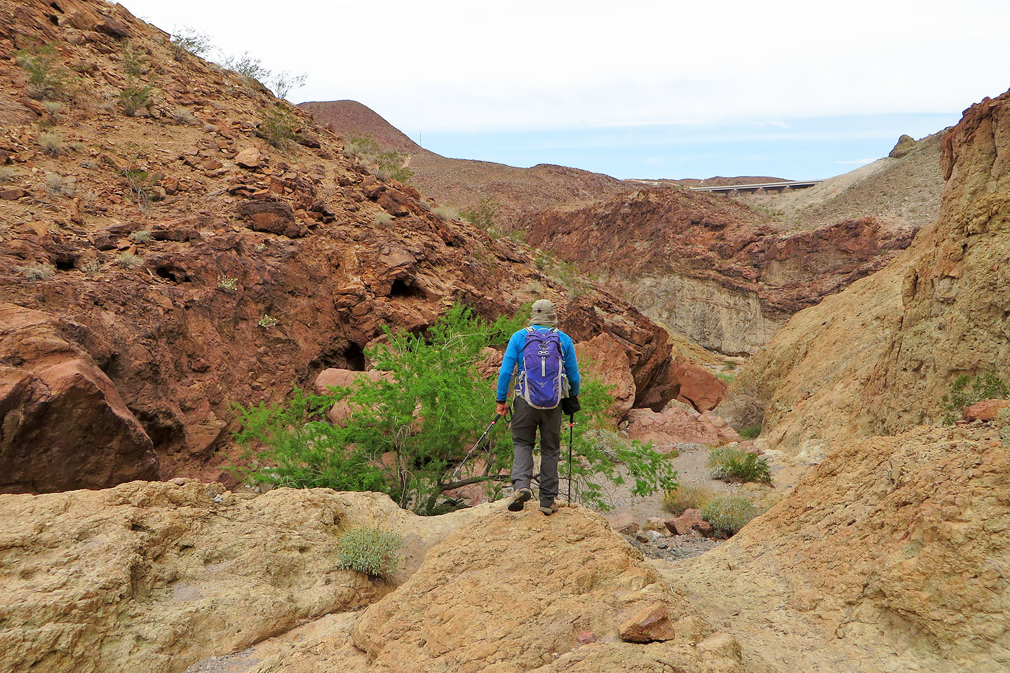
We considered coming down the wash, but it's choked with humongous boulders
We hiked down to the north end of the ridge
Dropping back into the main wash
Dinah comes down the ridge
The wash narrows and drops over a pour-over
Looking back at the pour-over
The wash spreads out ahead
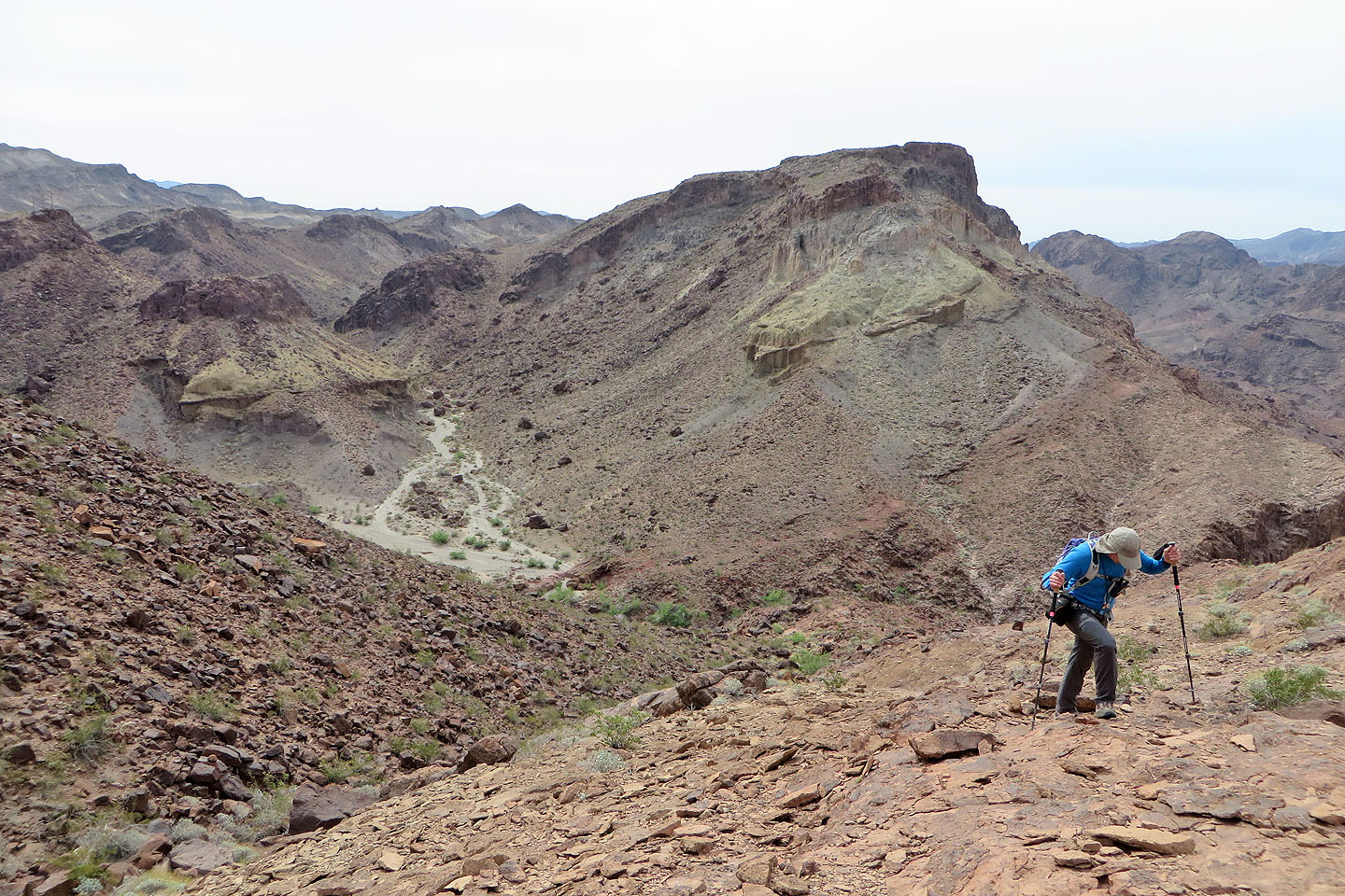
We stayed in the main wash until we reached a side wash on our right
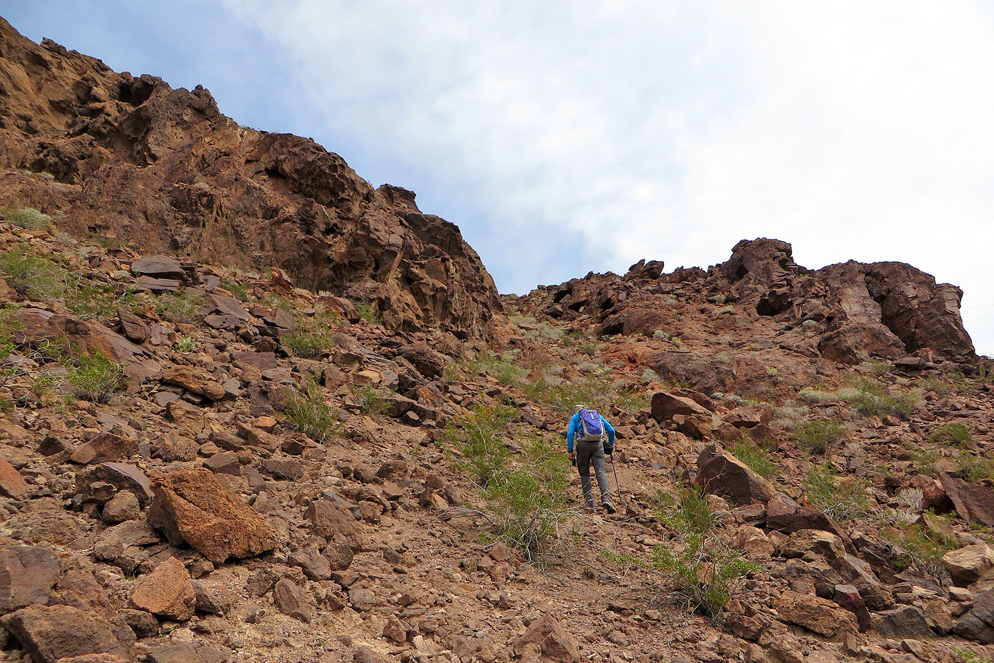
There was little point in starting our climb here because of the cliffs on our right
We followed a road a short distance to the side wash
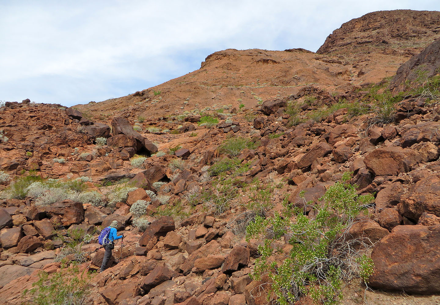
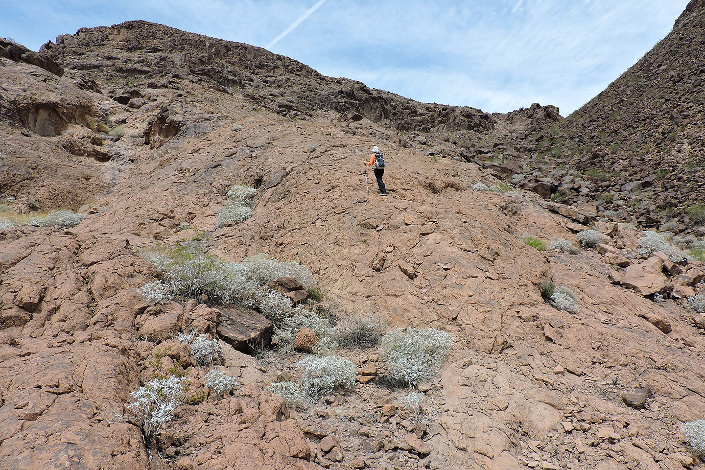
There's enticing smooth rock on the left side of the wash, and that's where we headed
The solid rock is a welcome relief from the stony wash
Looking back at the wash
More great rock
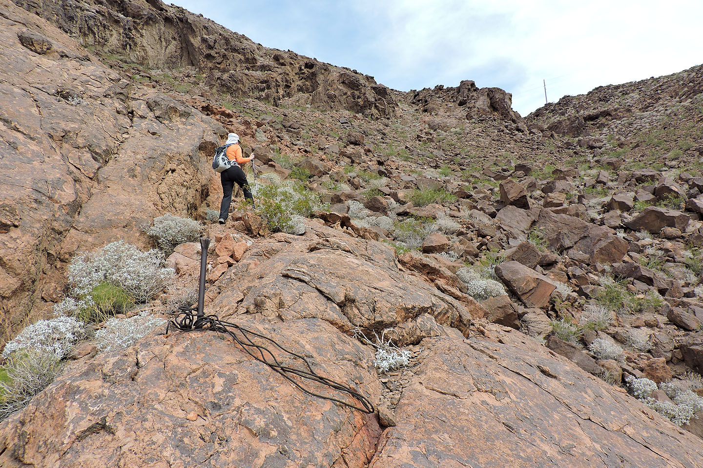
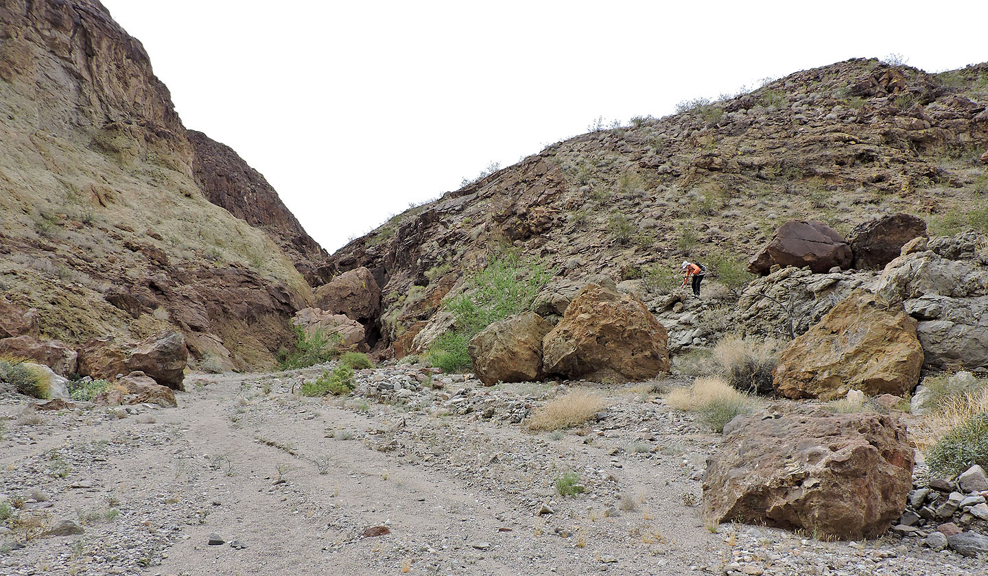
We passed remains from the construction of the Hoover Dam and headed for a break in the cliffs
We came across a steel ring
Approaching the break
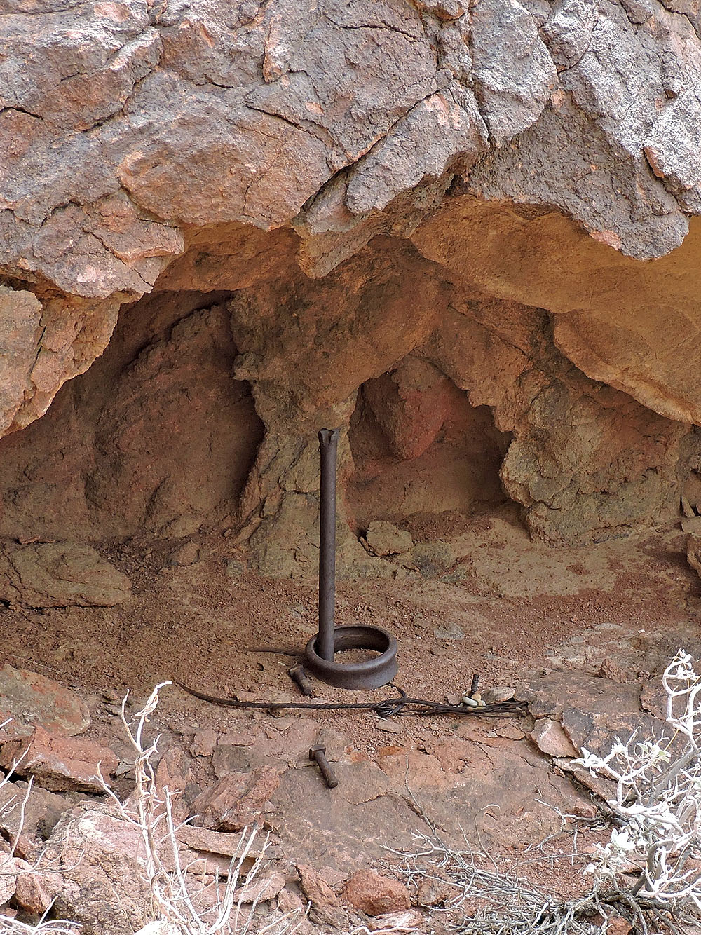
Ring toss anyone?
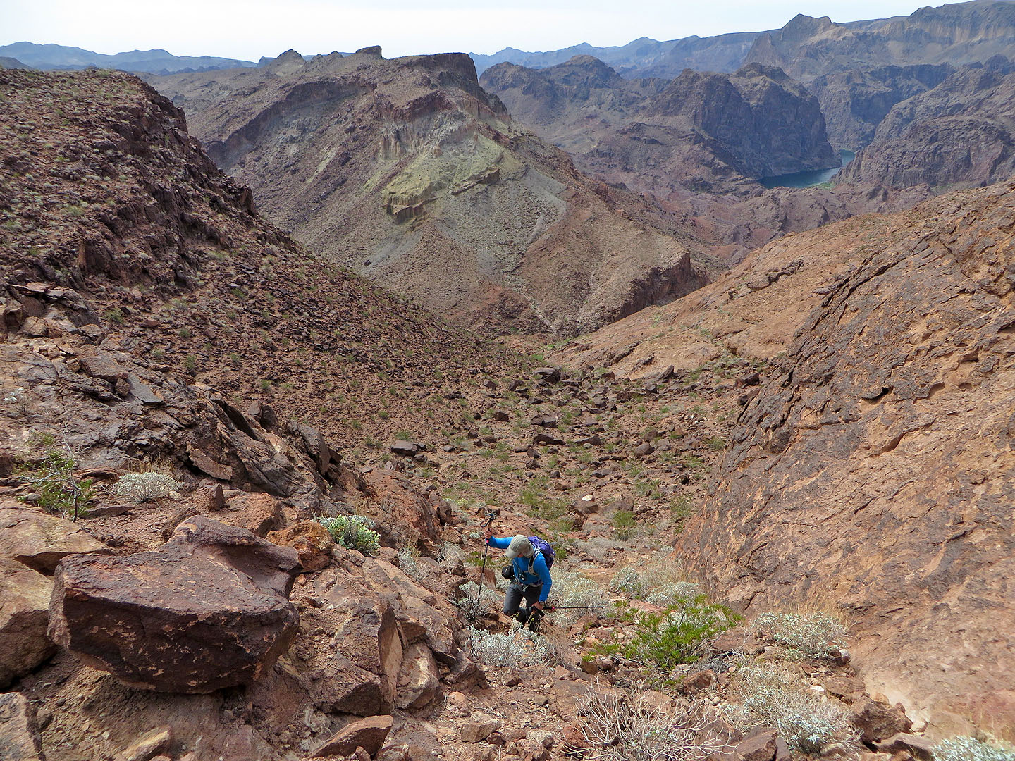
Looking down the break. Colorado River can be seen in the upper right.
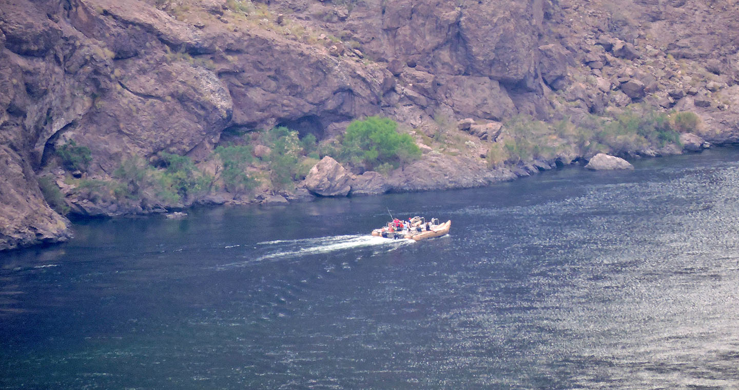
A boat glides down the river
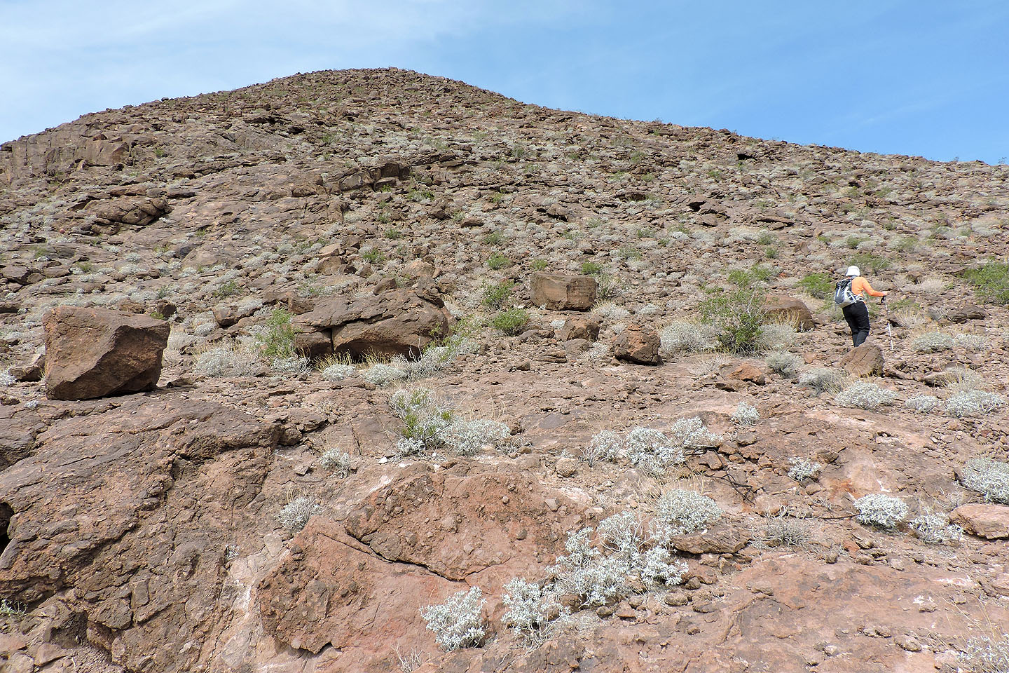
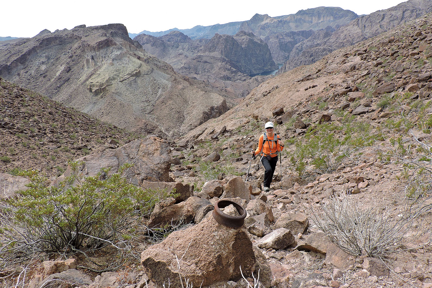
At the top of the break we faced a hike up a rubbly slope
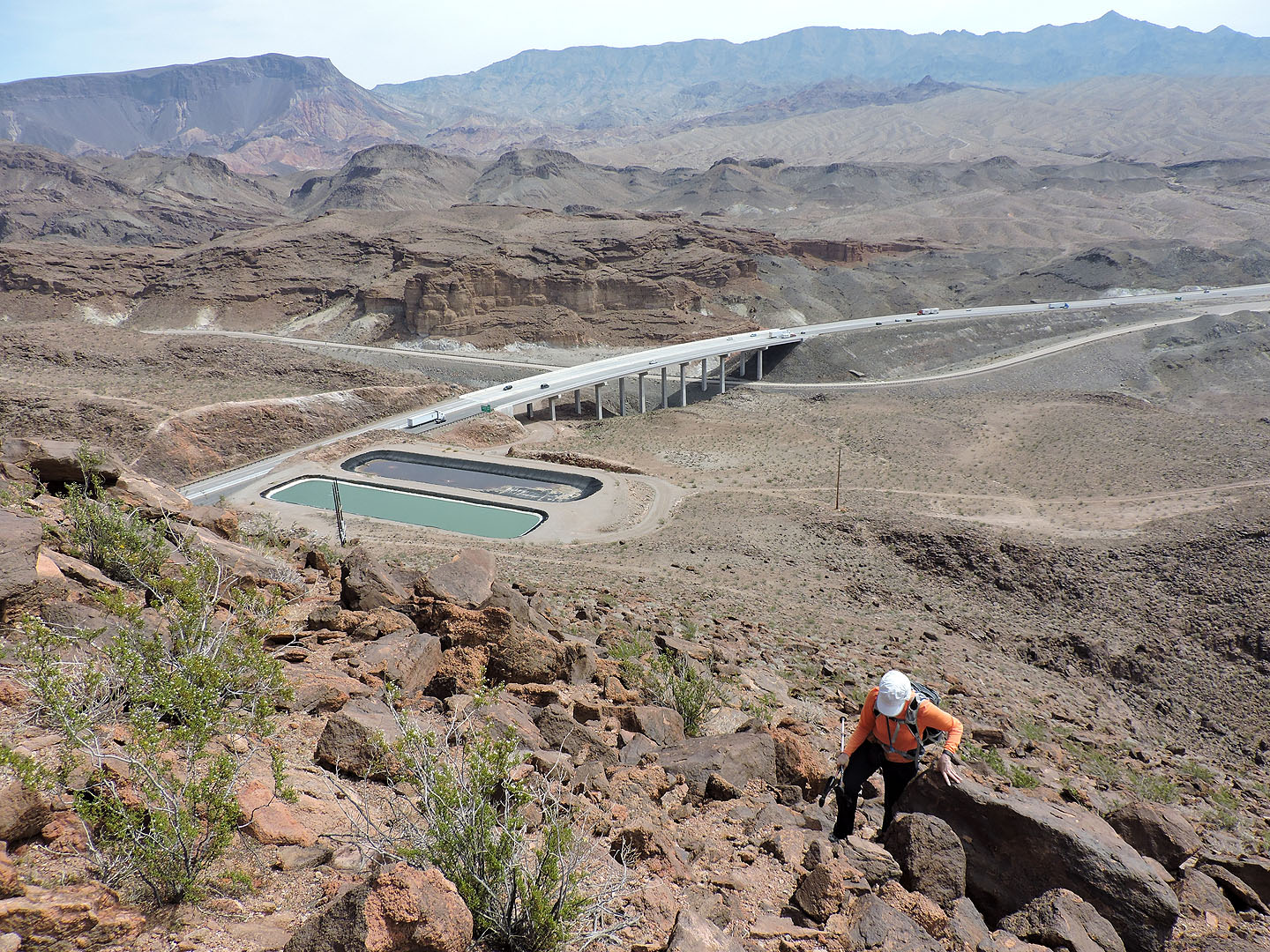
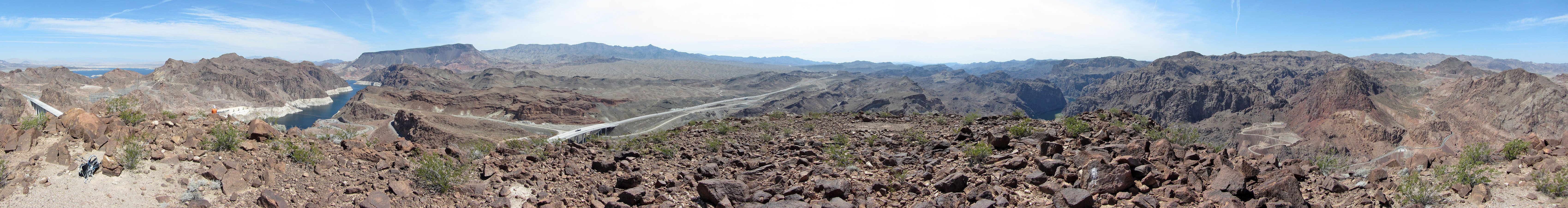
Below are reminders we are not far from civilization. Fortification Hill and Mount Wilson on the skyline.
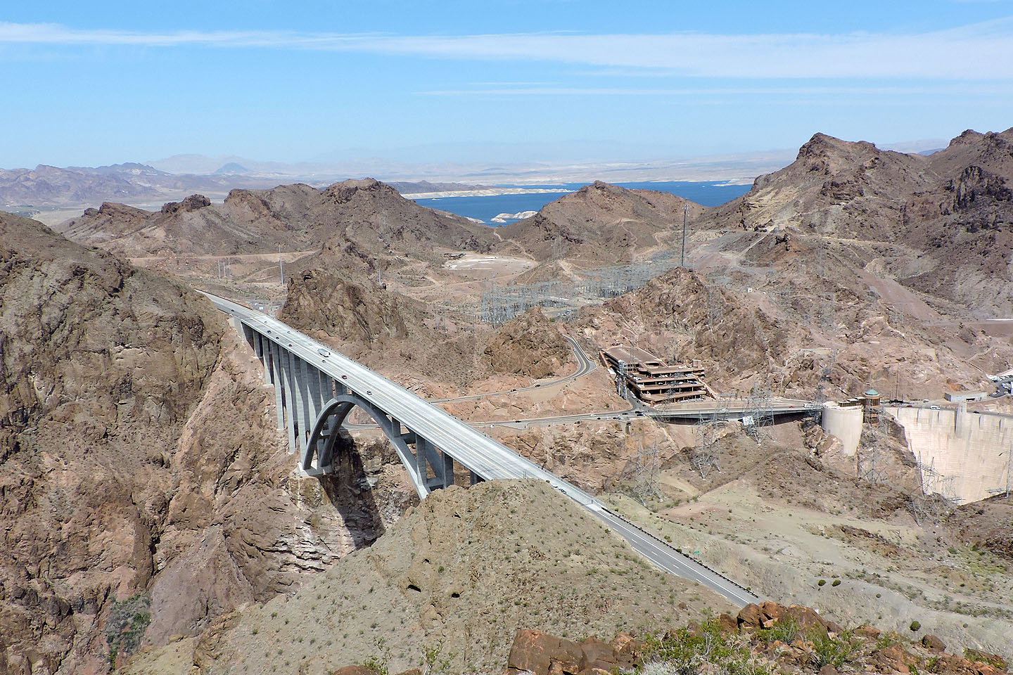
Looking down Pat Tillman Bridge
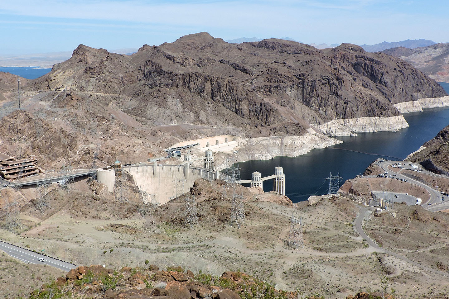 Hoover Dam
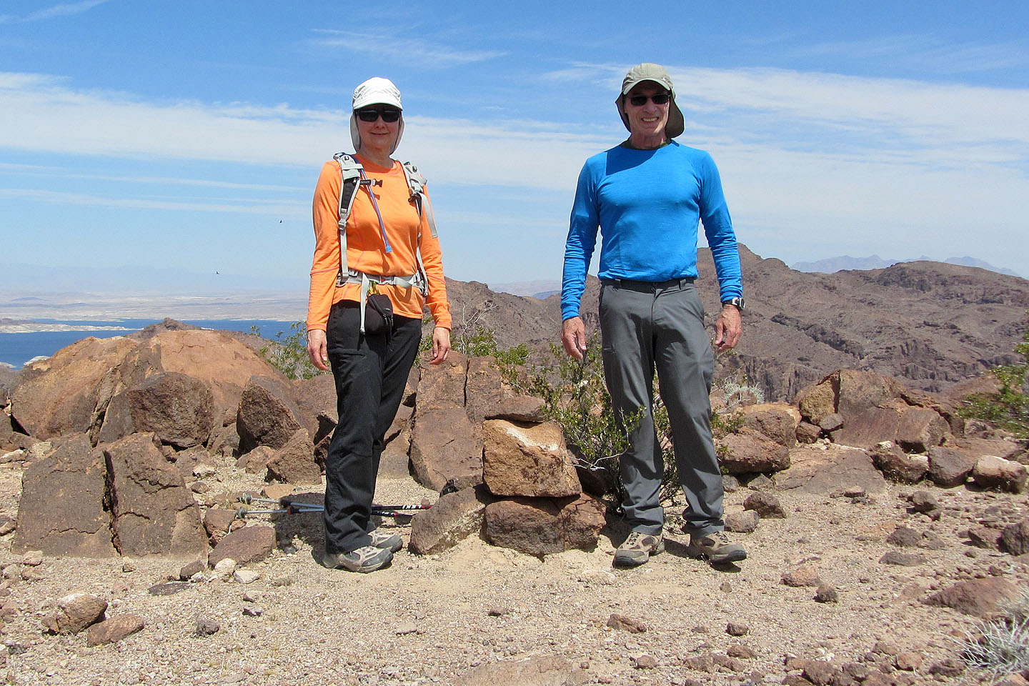
On the summit
Hoover Dam (3.1 mi, 1939 ft, 942 ft)