bobspirko.ca | Home | Canada Trips | US Trips | Hiking | Snowshoeing | MAP | About

Stimson Creek Hills
Kananaskis, Alberta
March 8, 2014
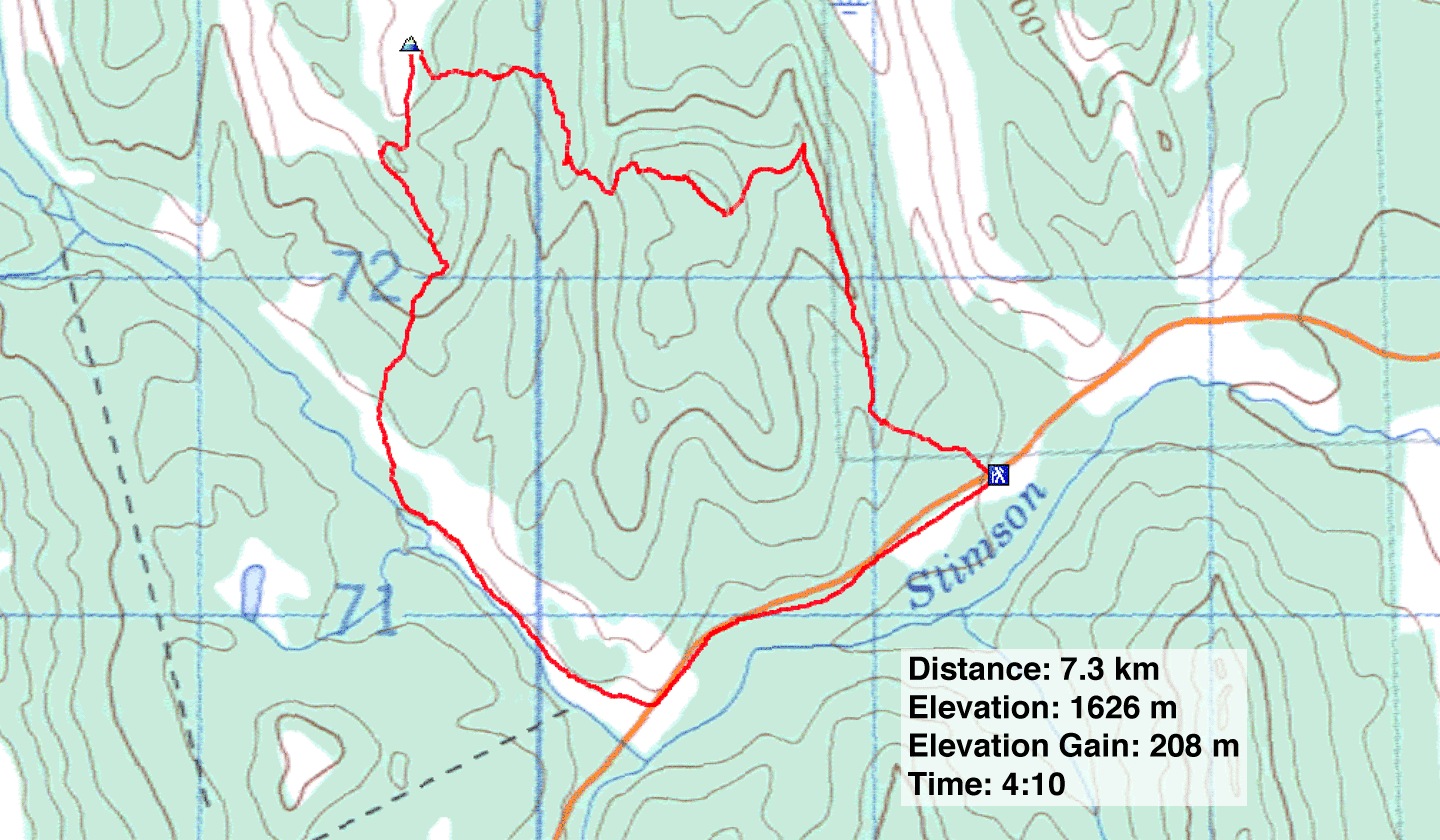
Distance: 7.3 m (4.5 mi)
Cumulative Elevation Gain: 330 m (1083 ft)
After Chinook winds broke a prolonged cold snap in Southern Alberta, Sonny, Dinah and I were itching to get out. Because of the avalanche risk in the backcountry, the foothills looked like a safe bet; we decided to snowshoe up the unnamed hills east of Stimson Creek.
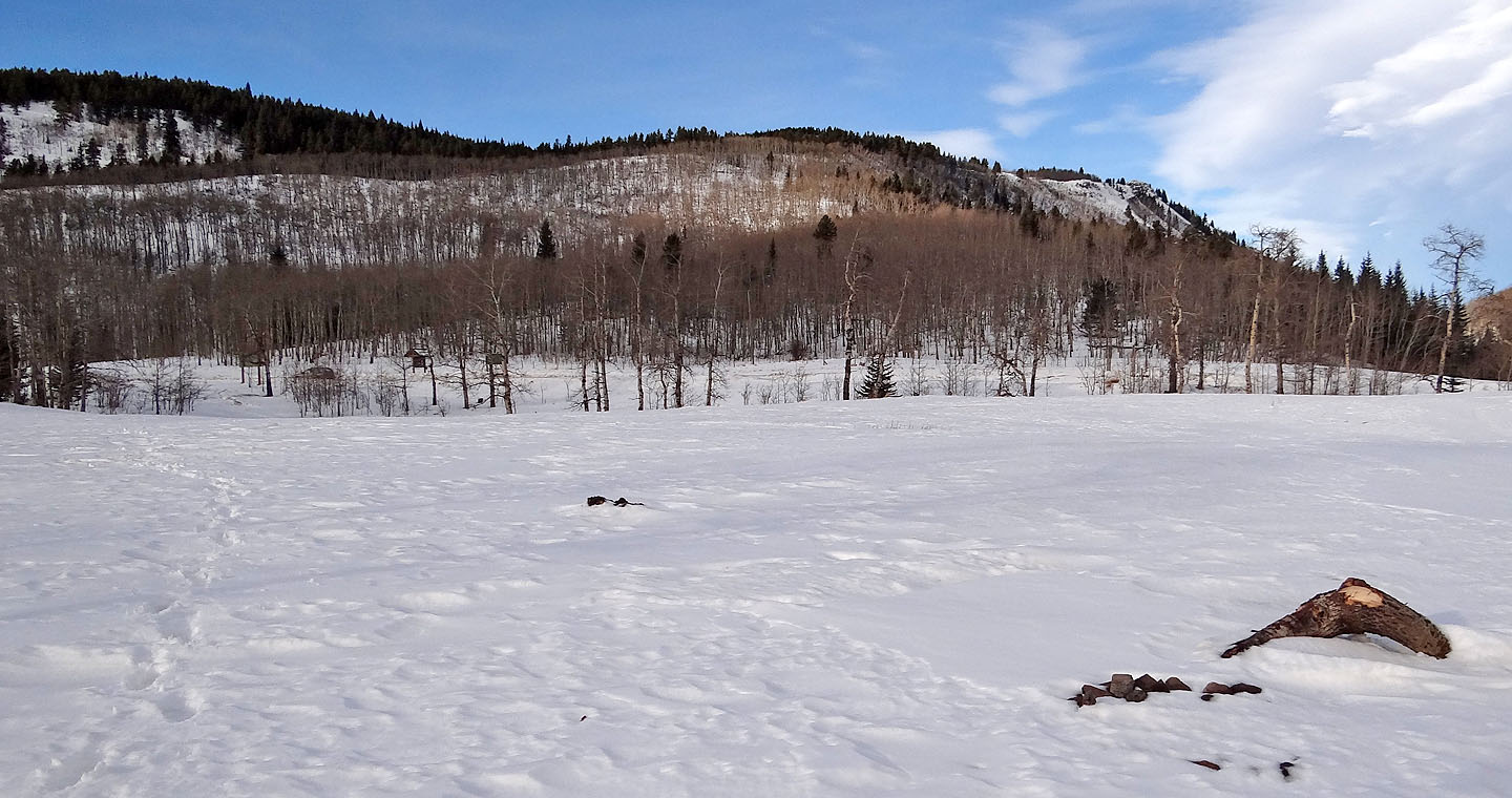
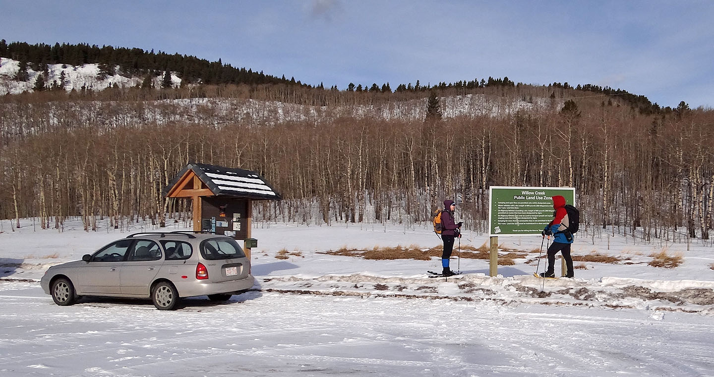
Beginning on Hwy. 532 at an information pullout for Willow Creek Public Land Use on the edge of Kananaskis Park, our route described a loop. We started up a long, gentle ridge before turning left and following undulating ridges to our highest point, a bald spot that offered views of snow-covered mountains to the west. Then we dropped down to Stimson Creek and followed the creek back to the road.
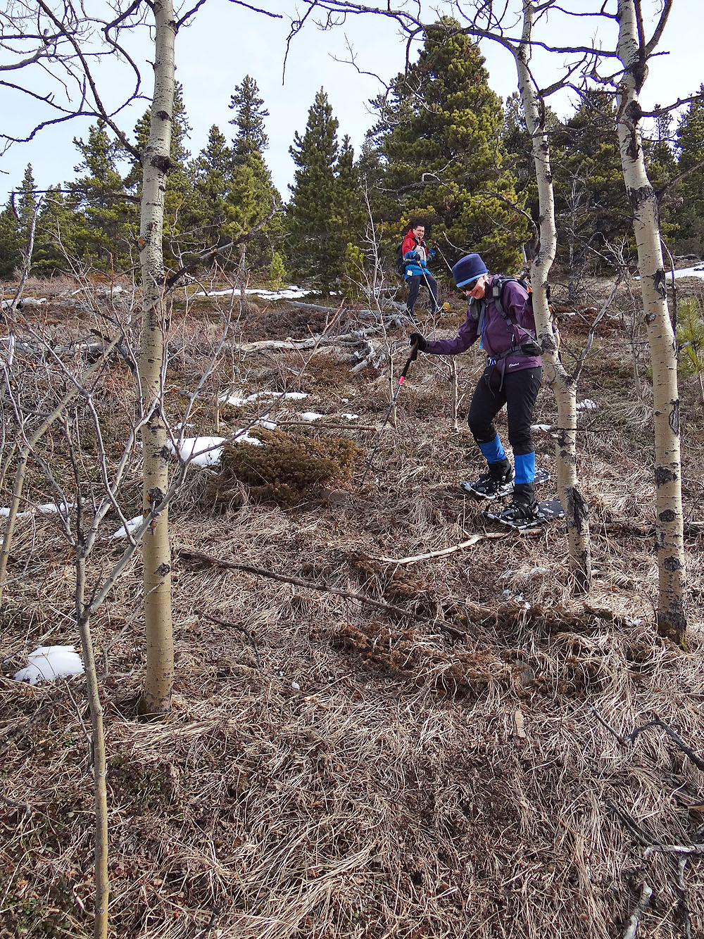
The snow cover on our trip ranged from soft and deep to, “Where the heck is the snow?” Mostly, however, we travelled easily on a thin layer of snow. Even so, I saw more snow in this area than in past winters. A typical winter should see much drier slopes, and our loop is more likely to be a winter hike than a snowshoe excursion. Indeed, because there is little underbrush, I think Stimson Creek Hills would make a good offtrail hike.
KML and GPX Tracks
Sonny's Trip Report
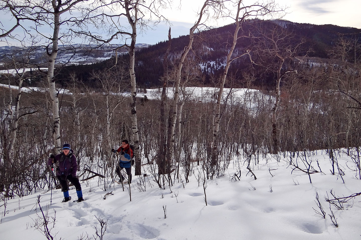
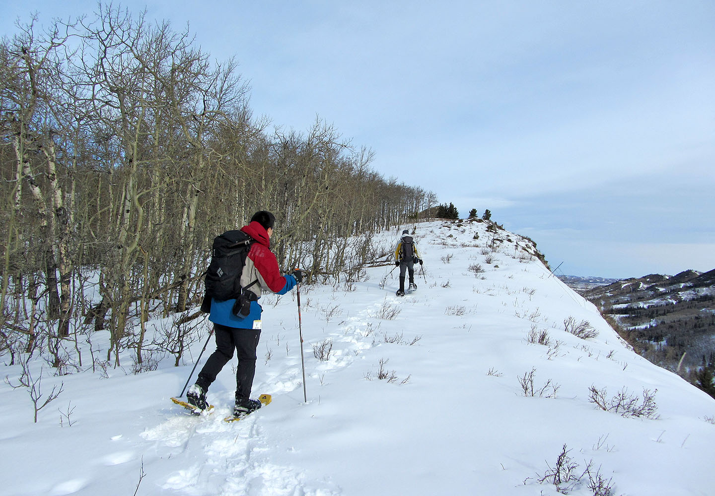
Our trip began with the ascent of this long ridge to a
high point
(mouse over)
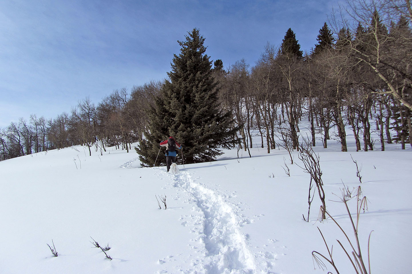
From the car we angled left and soon gained the ridge
We're well on our way to the ridge crest
Not much snow on the crest
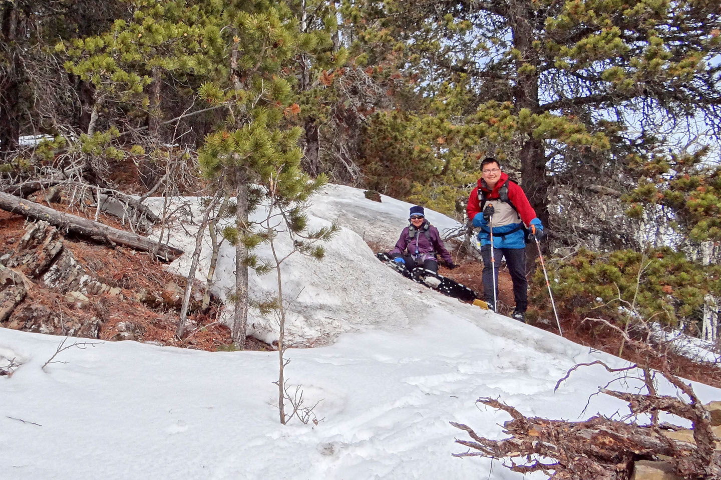
Making our way to the first high point
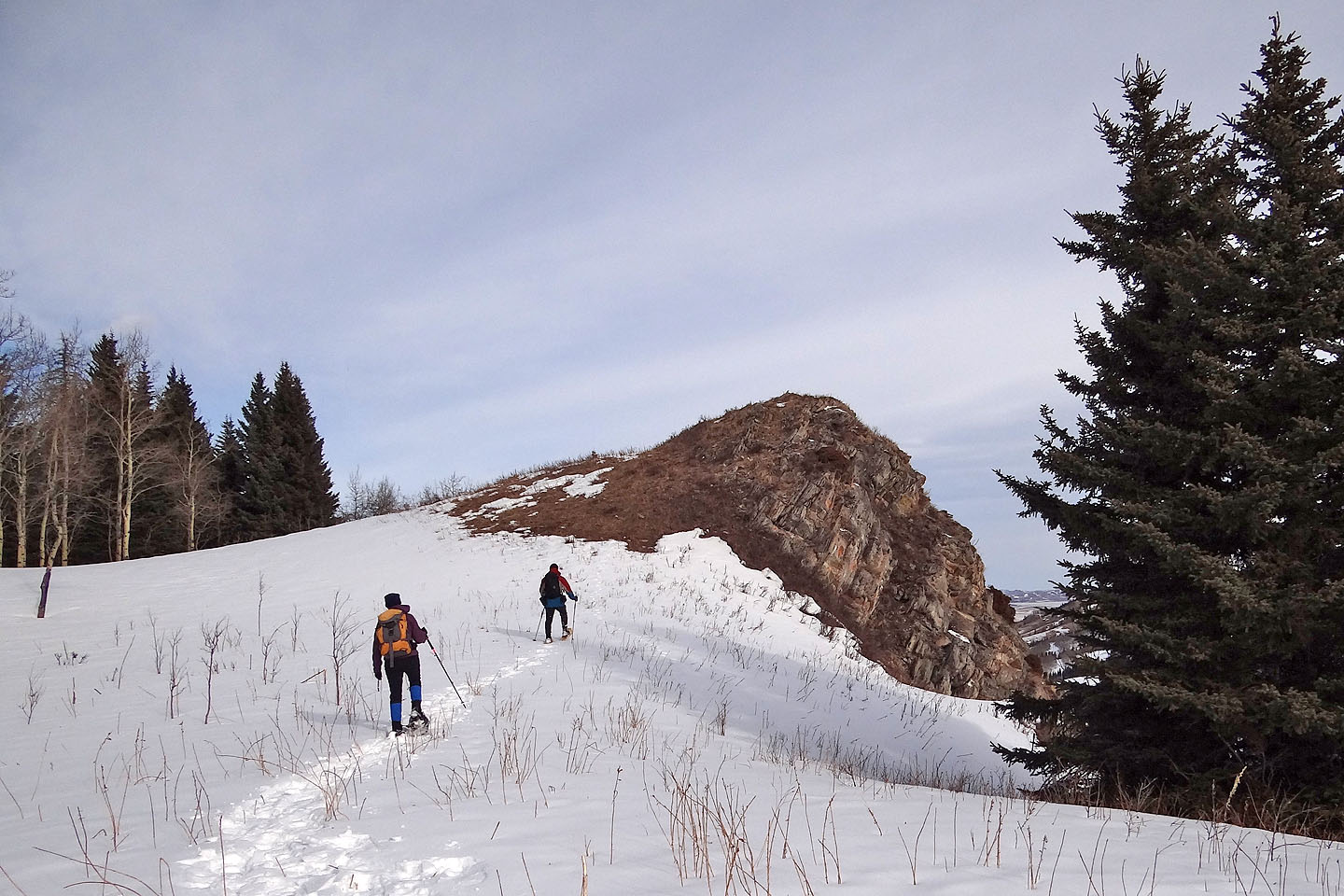
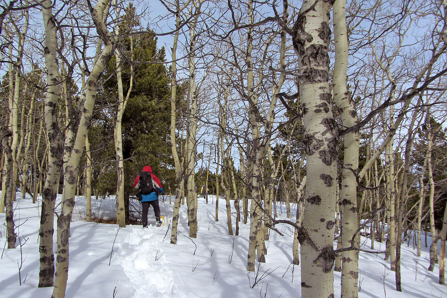
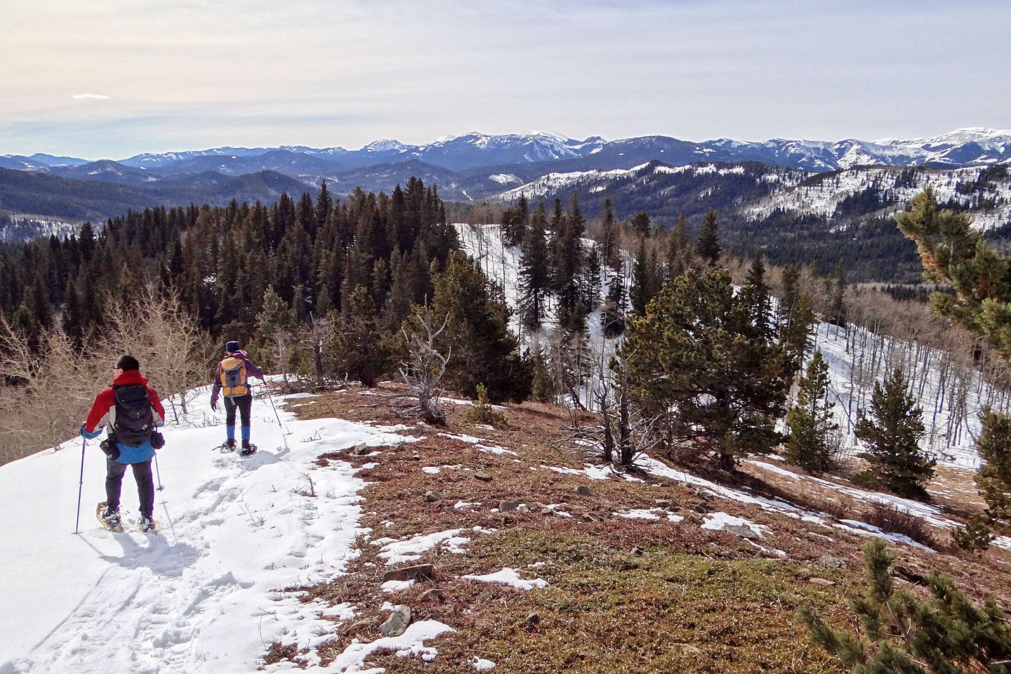
Much of our trip was in trees, so we appreciated this bare, little point
Looking back from the high point
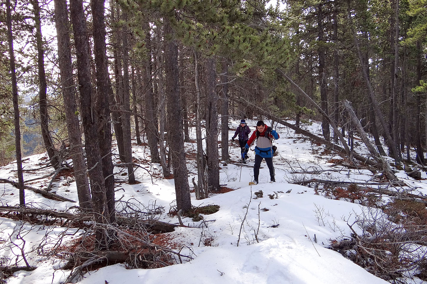
Continuing to the next ridge section
Continuing up the other side
We found deep, soft snow here
But the other side of the ridge was dry
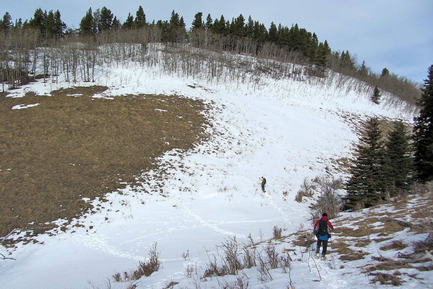
Dropping down to reach the next section (mouse over to look back)
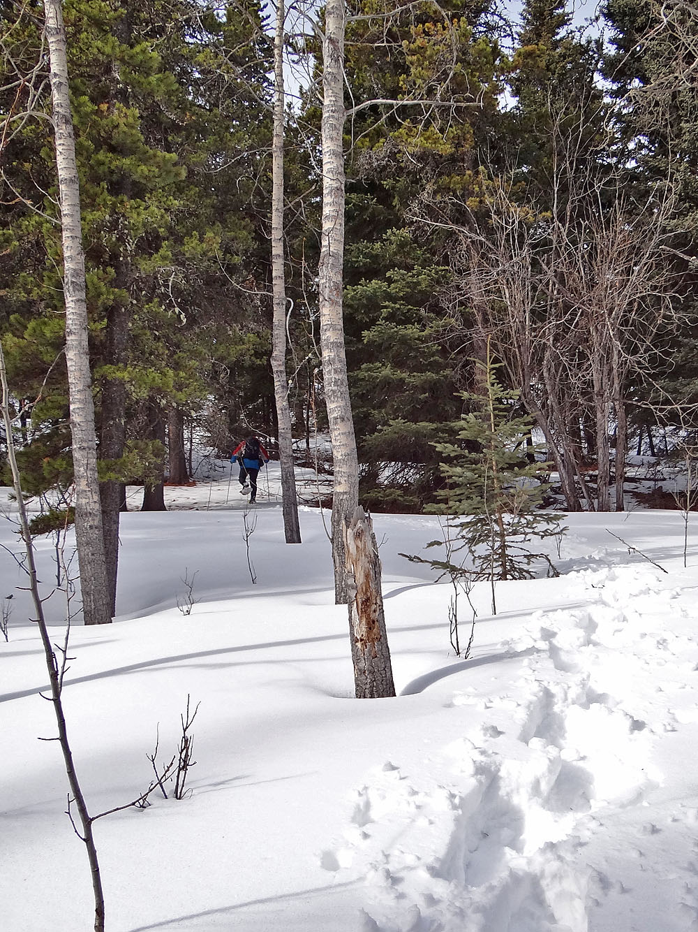
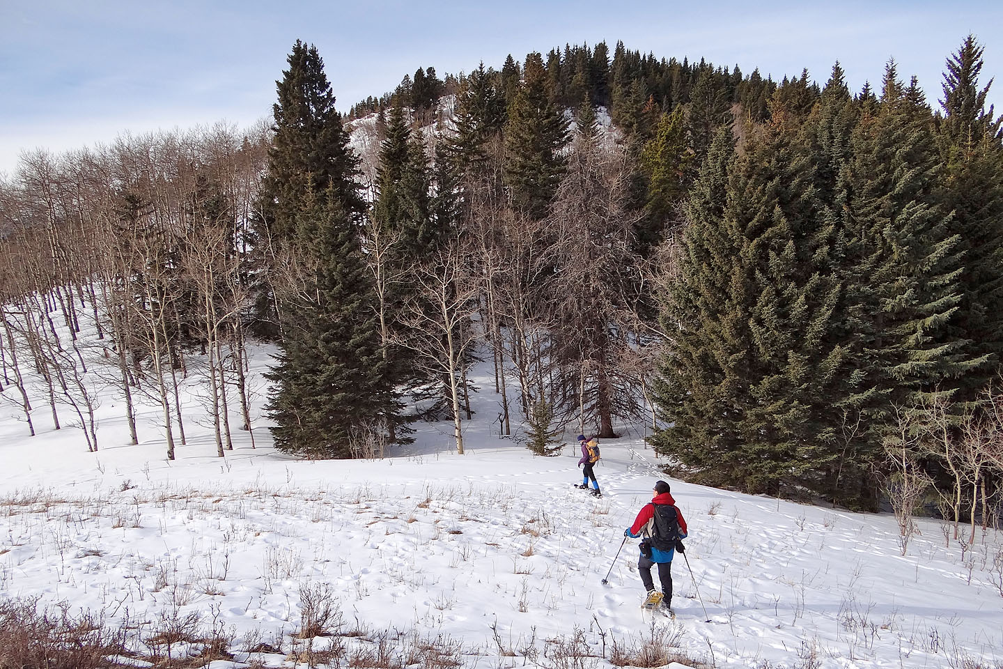
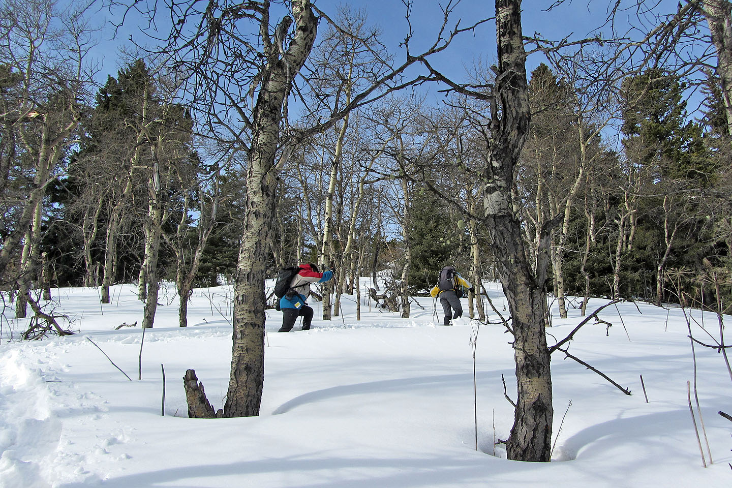
Back in the trees
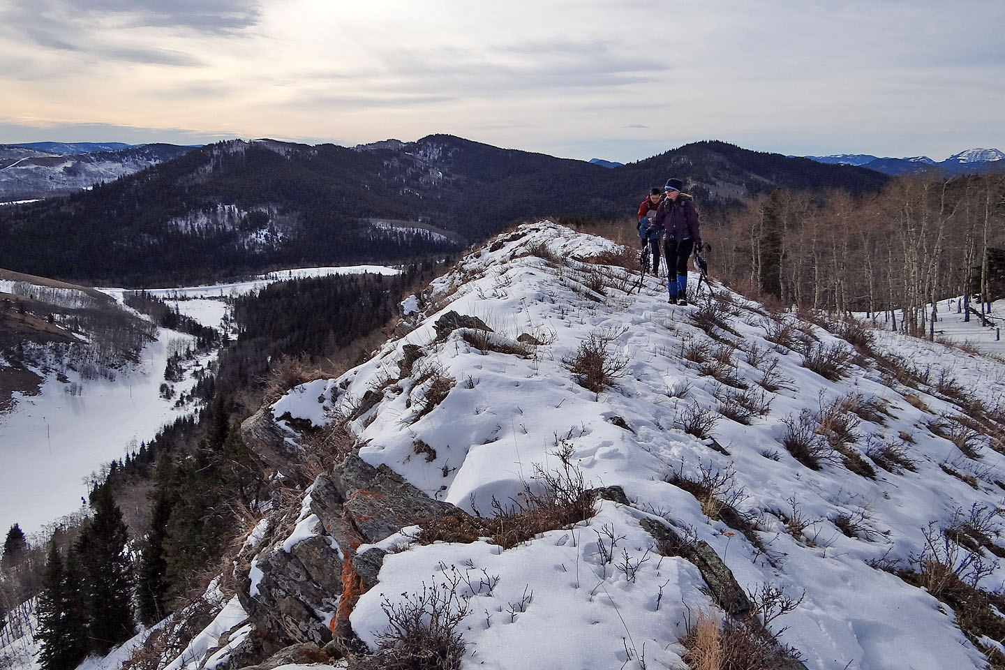
Heading to the highest point of our trip
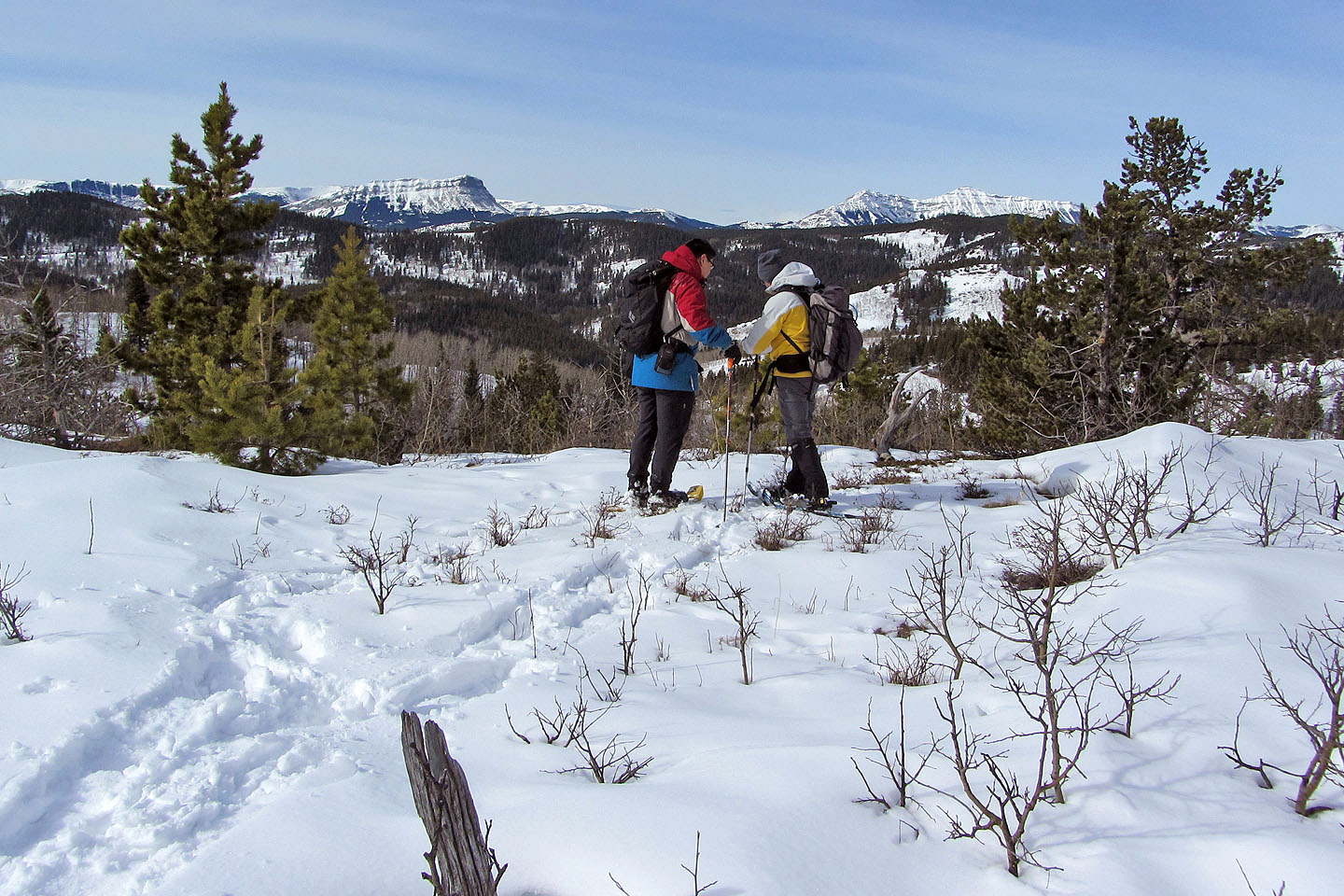
This is as high as we got
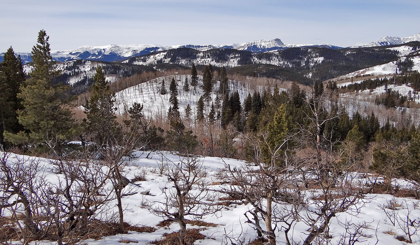
Summit views were confined to the west
This ridge led us down to Stimson Creek. Indian Graves Ridge on the right.
Dinah takes a tumble after losing control on steep snow
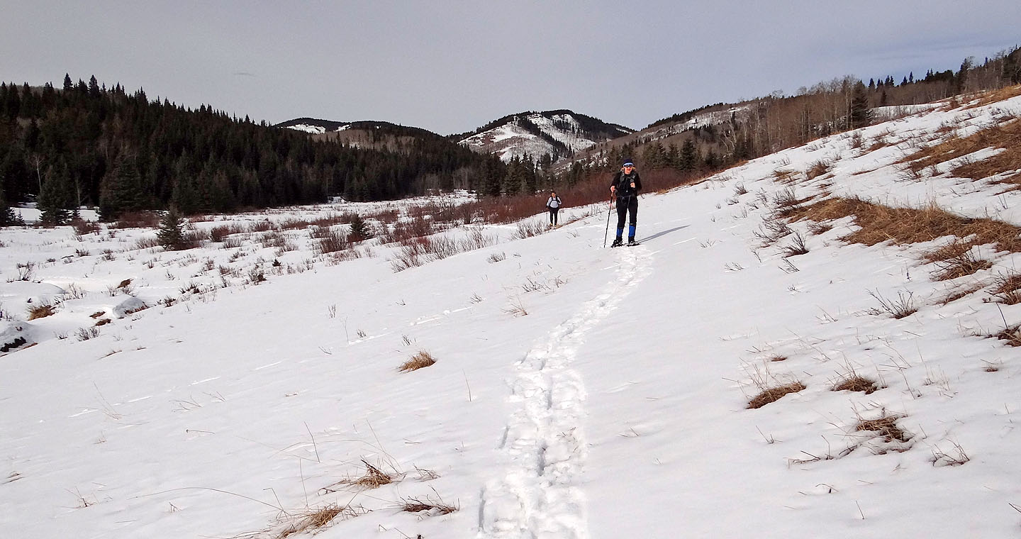
We followed alongside Stimson Creek to the road
82 J/8 Stimson Creek
Snowshoeing | Canada | Home