bobspirko.ca | Home | Canada Trips | US Trips | Hiking | Snowshoeing | MAP | About

Sinnot Hill
Kananaskis, Alberta
January 2, 2021
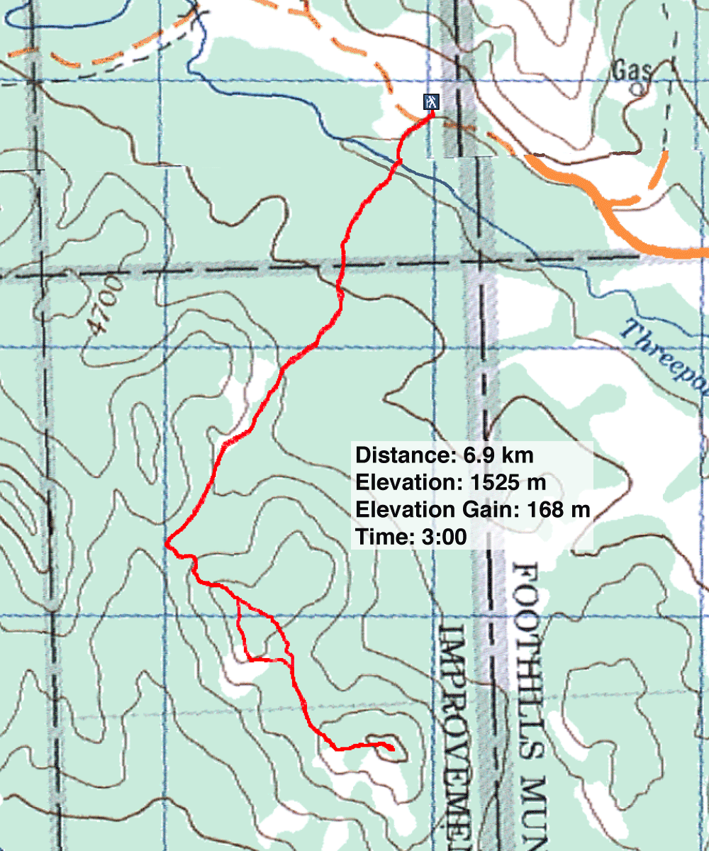
Distance: 6.9 km (4.3 mi)
Cumulative Elevation Gain: 296 m (971 ft)
Despite being situated in the front range, Sinnot Hill made a surprisingly fine snowshoe trip. Indeed, it's best done in the winter when the snow covers the mucky cattle trails. It was an unpleasant trip when I hiked it in the fall.
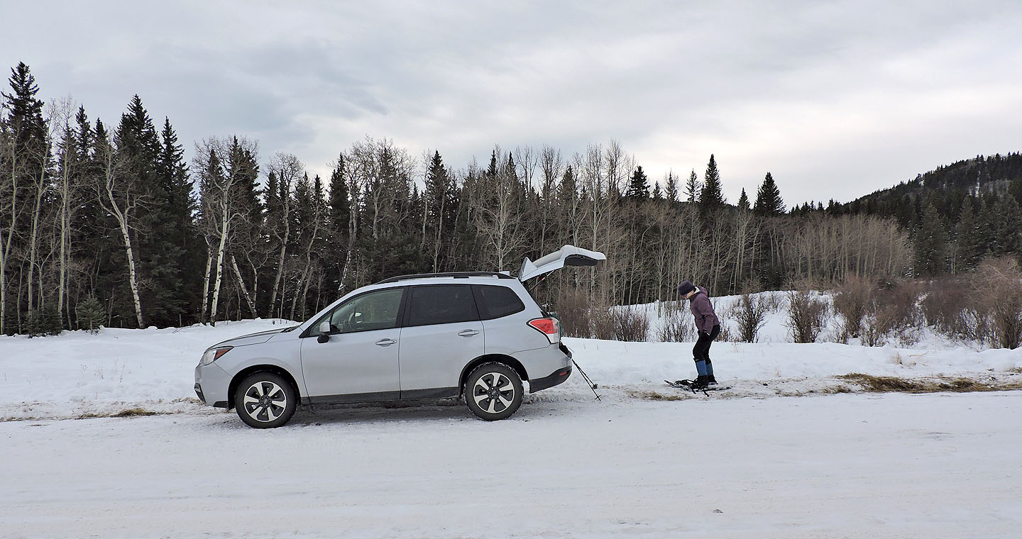
Dinah and I parked by the Kananaskis Country boundary and took the shortcut described in Kananaskis Country Trail Guide. It knocks off over a klick compared to starting from Ware Creek Road. After following the trail for 250 m, we crossed a frozen creek and came to 9999 trail.
Someone hauling a sled had broken the trail, and we easily plodded in a track to the saddle. There we came across the owner of the sled, along with three kids and two dogs: they had camped nearby overnight.
From the saddle, we followed a snowshoe track over an intervening hill. But when it heedlessly dropped down, we abandoned it and gained the ridge on our right. We followed the ridge to the half-bare summit.
It was too windy to linger, so we soon headed back down. We didn't retrace our steps back to the saddle and instead took advantage of the open slopes on the intervening hill to look around. Not that there's much to see here or anywhere along the trip; the nearby hills are featureless and the mountains are too far away. But we relished stomping in the snow under a blue sky as we made our way back to our car.
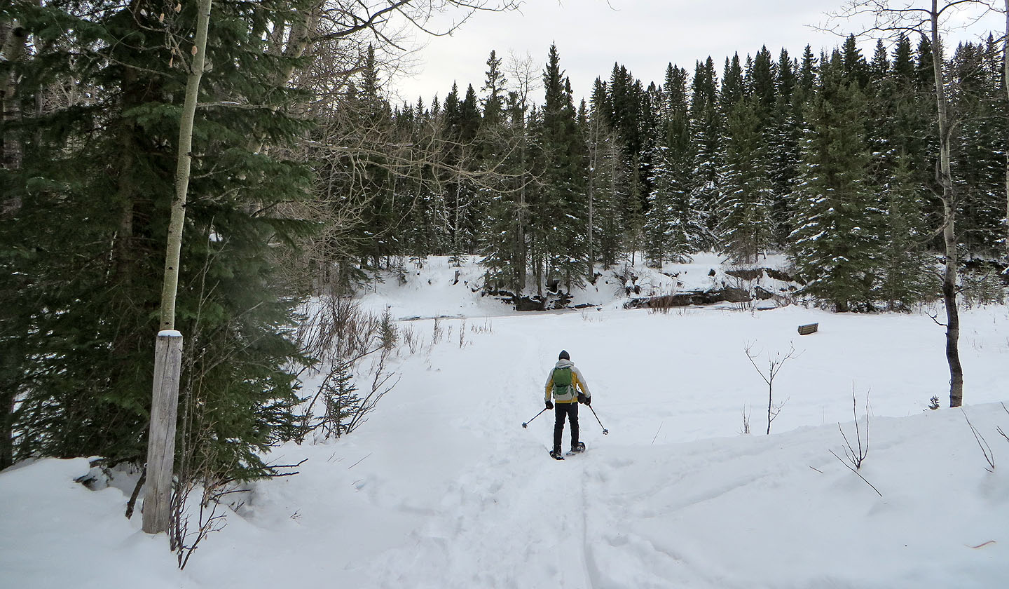
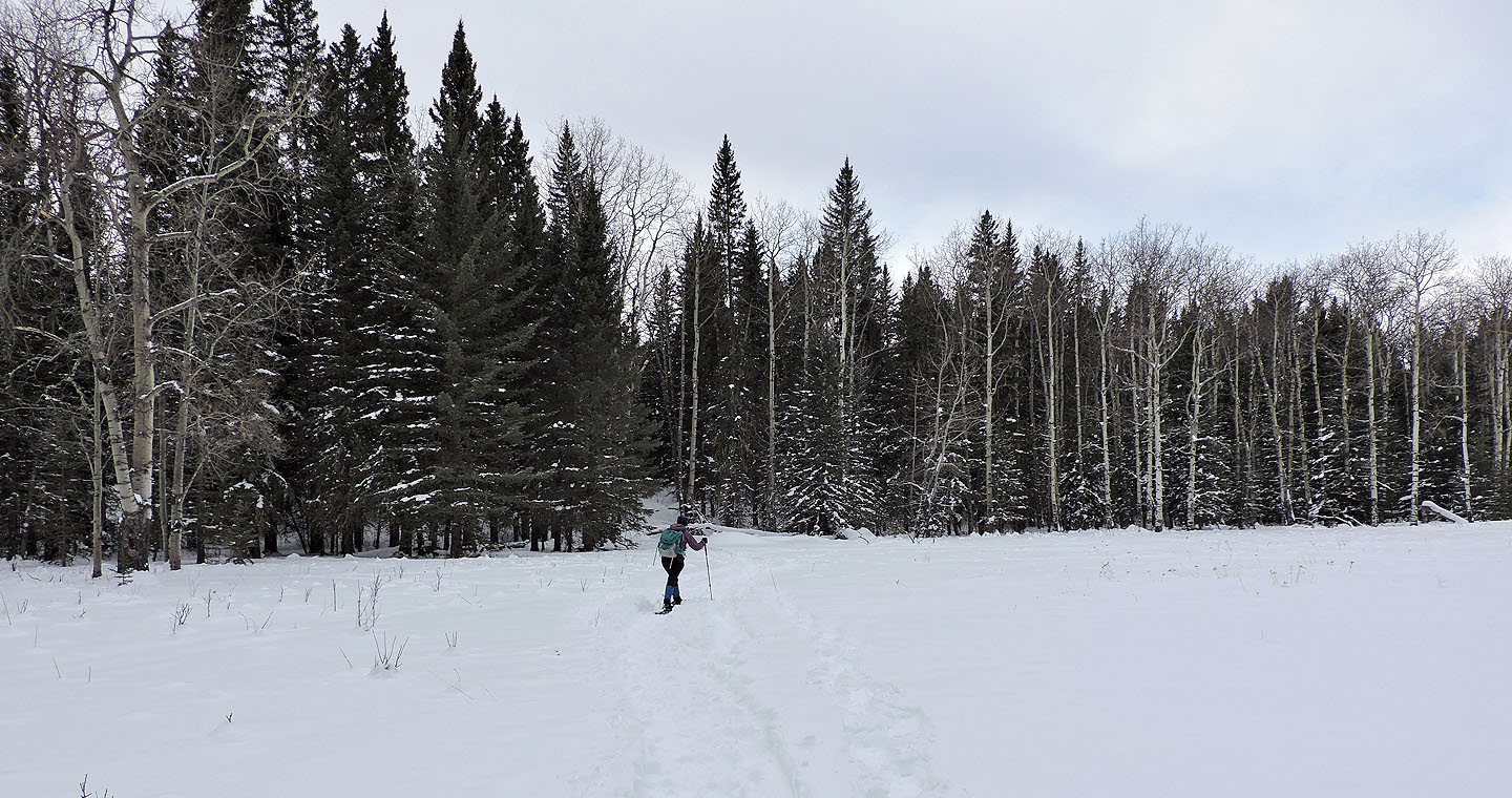
The trail runs along the edge of the woods
A few minutes after starting out, we came to Threepoint Creek
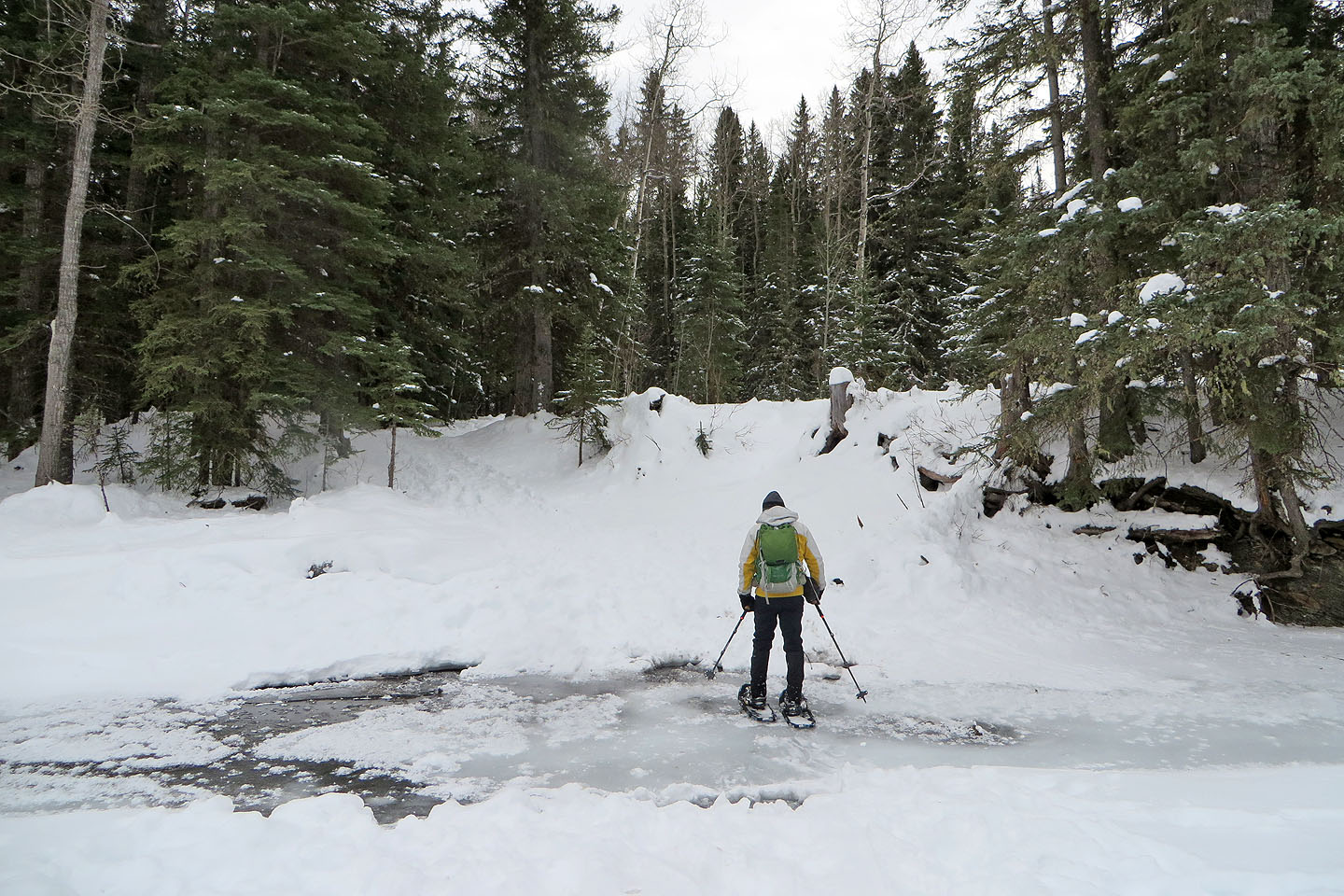
We easily crossed the ice
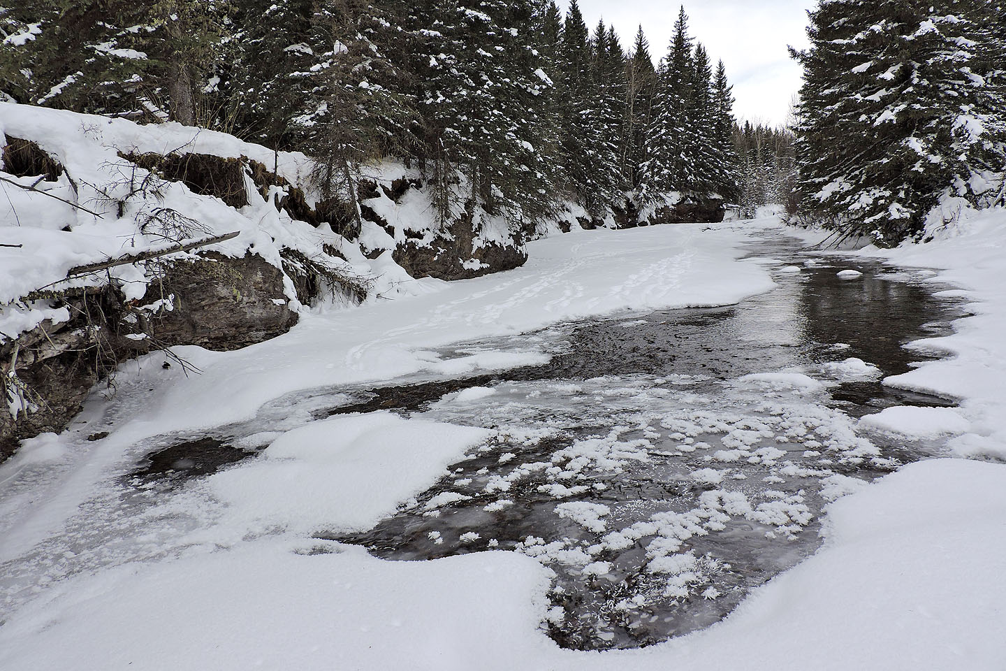
Looking upstream
Soon after the creek, we found 9999 trail ahead
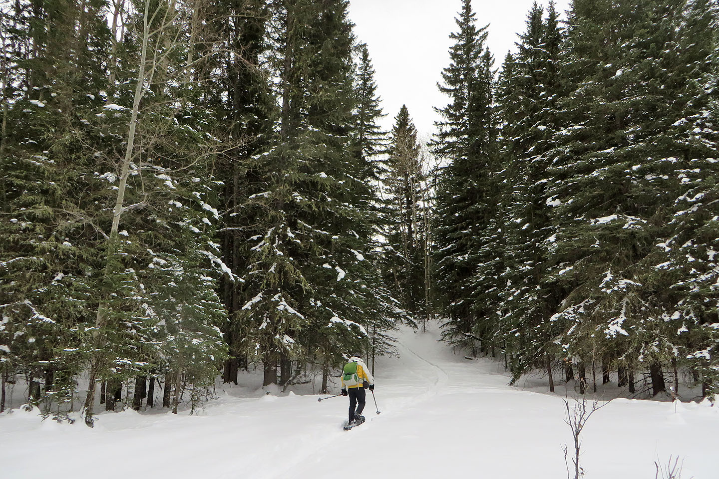
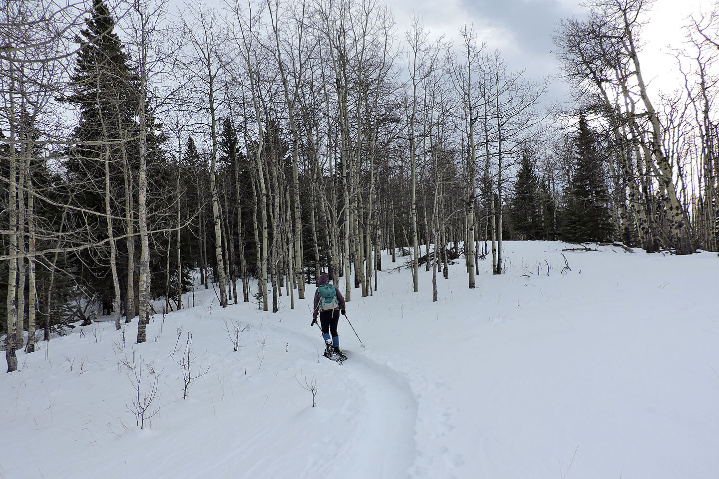
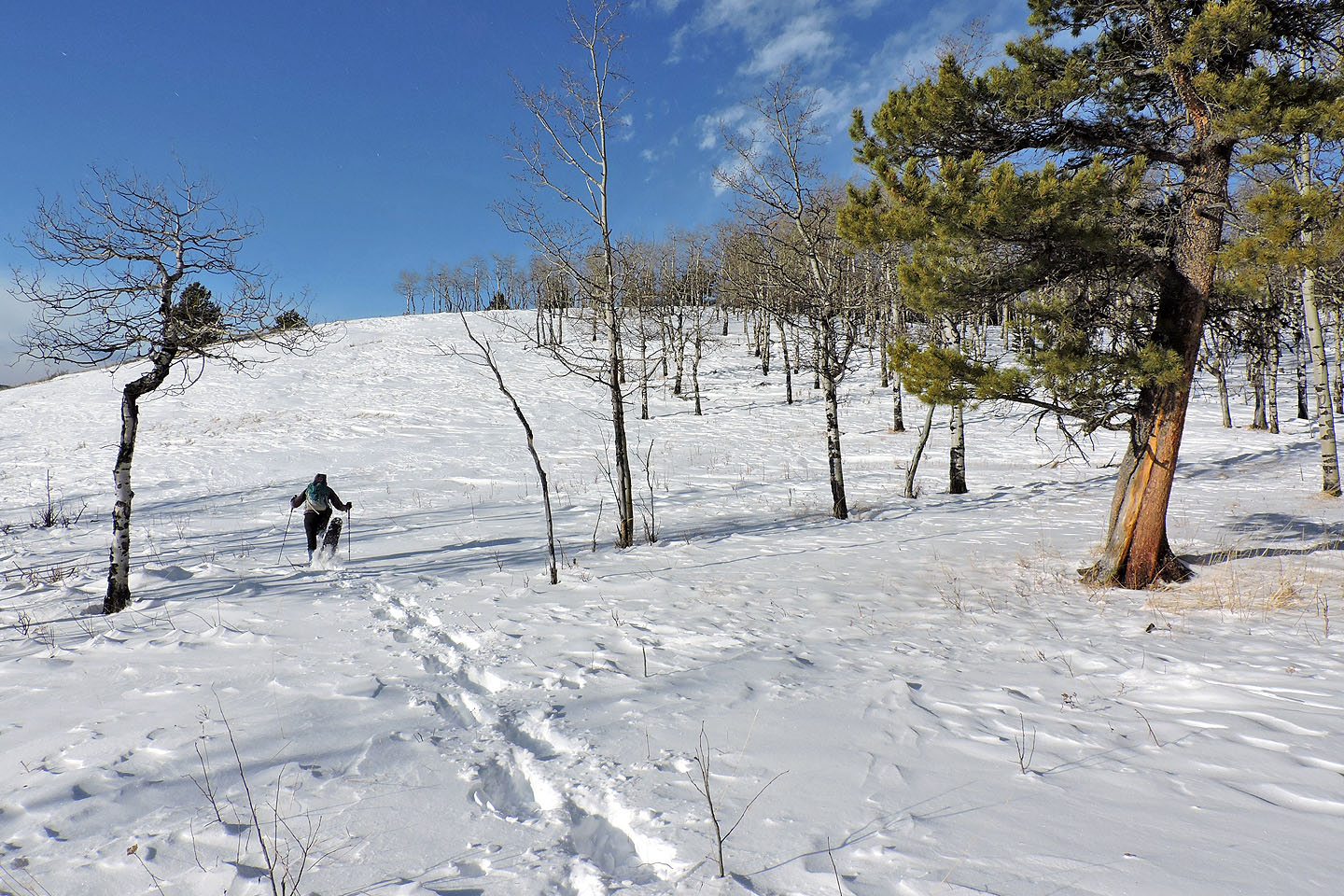
Starting up 9999
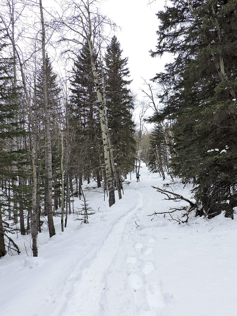
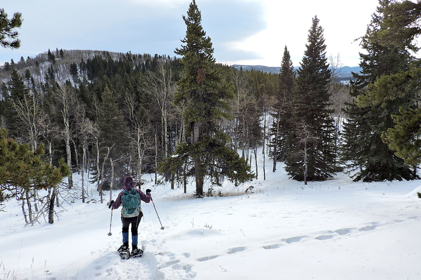
The trail is lined with trees
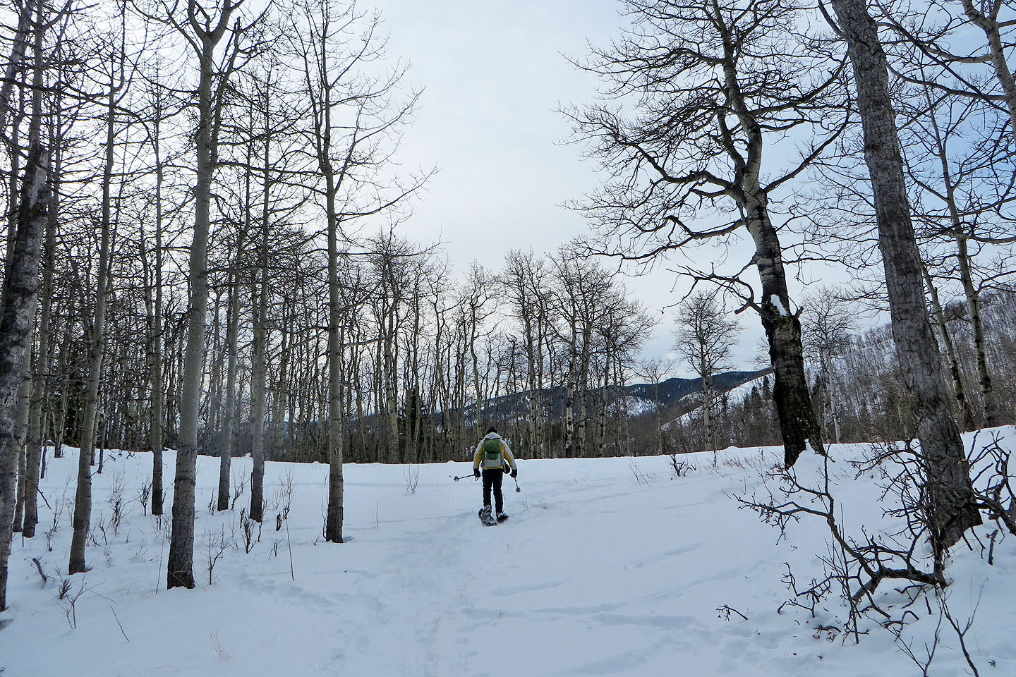
We turned left at the open saddle
We followed a track that someone made
The track ran to the base of Sinnot, but instead of dropping all the way down, we went to the ridge on our right
We finally faced snow that hadn't seen snowshoe tracks
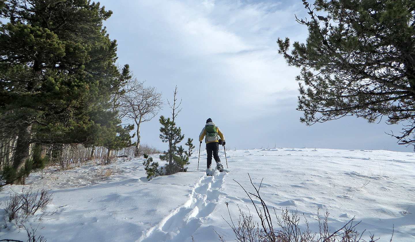
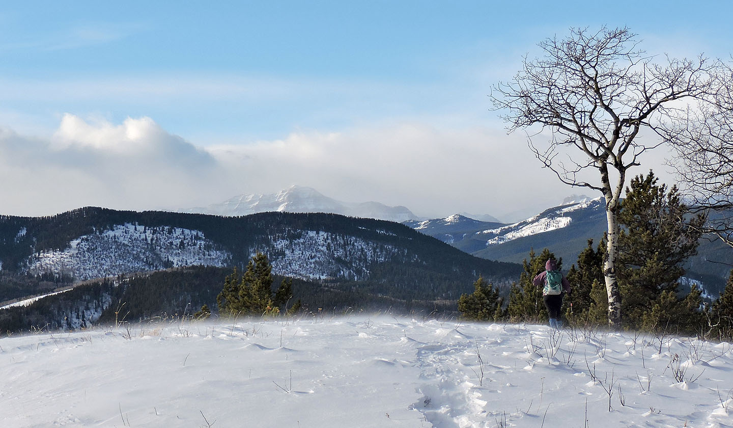
We reached an open ridge, but the summit is still 200 m away
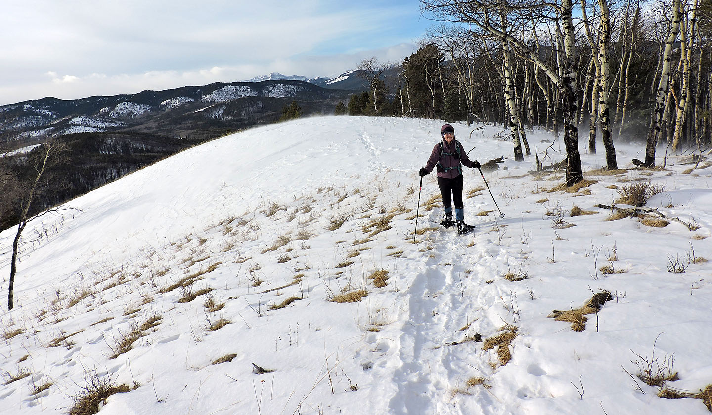
Looking back as we headed to the summit
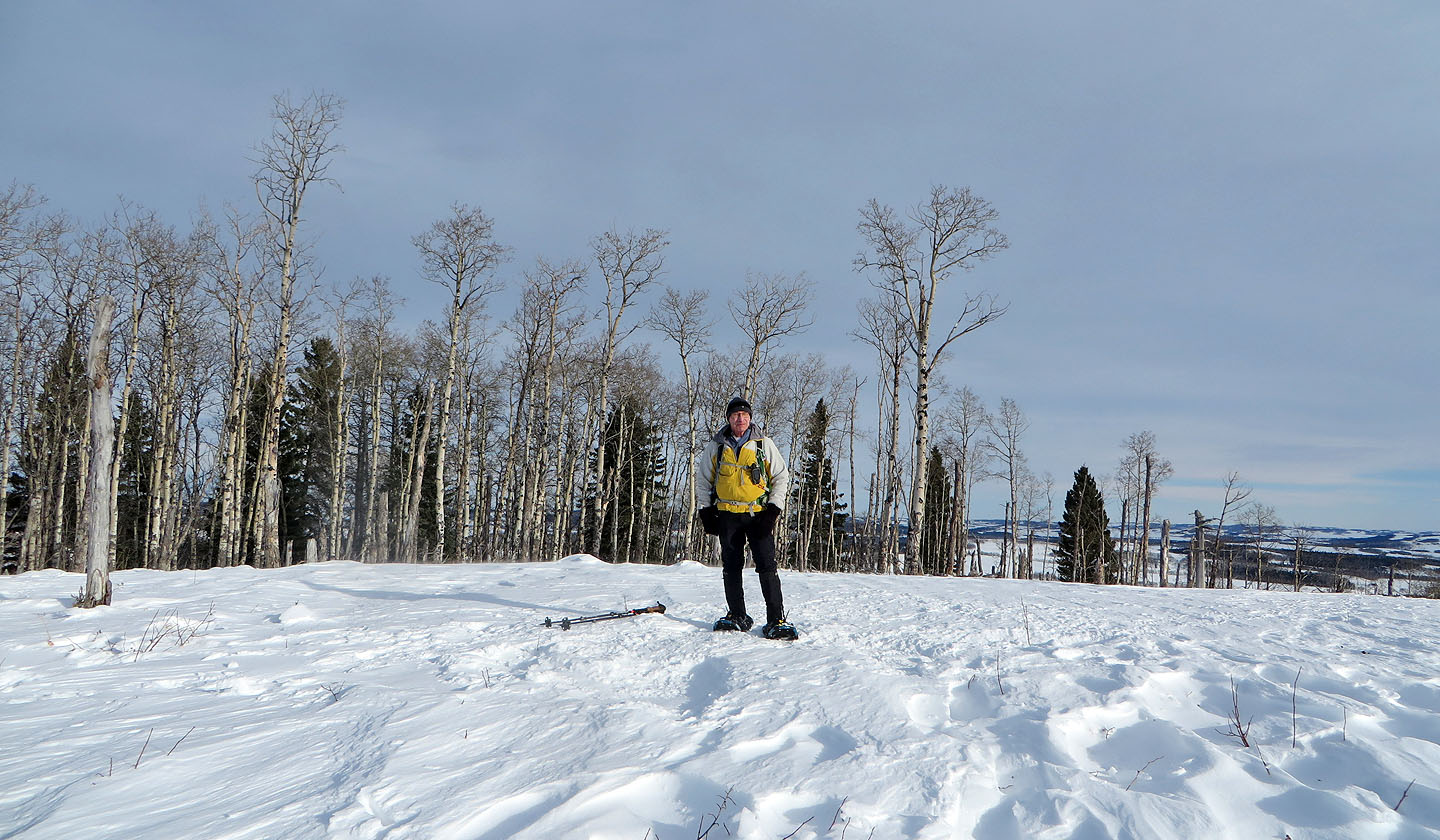
Standing on the summit
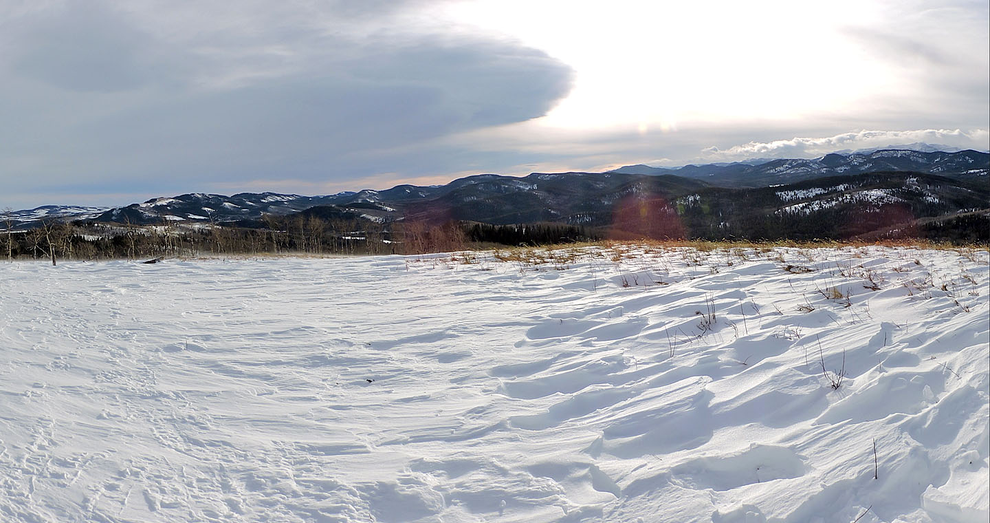
The low ridges left include John Ware, Forked and Macabee
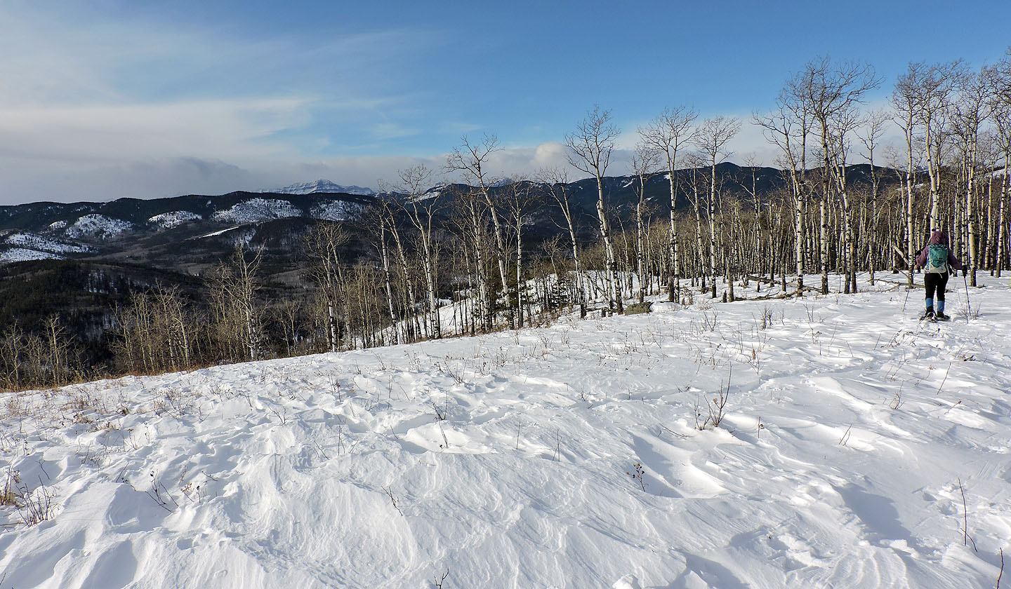
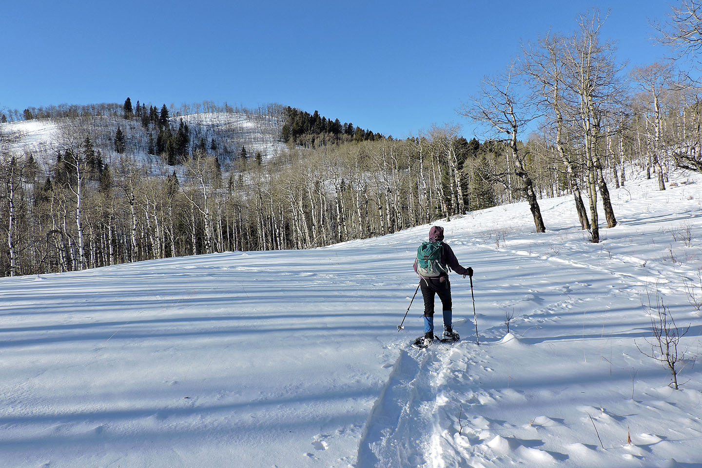
Dinah starts back from the summit
The wind kicked up snow on the open ridge
We headed up the intervening hill
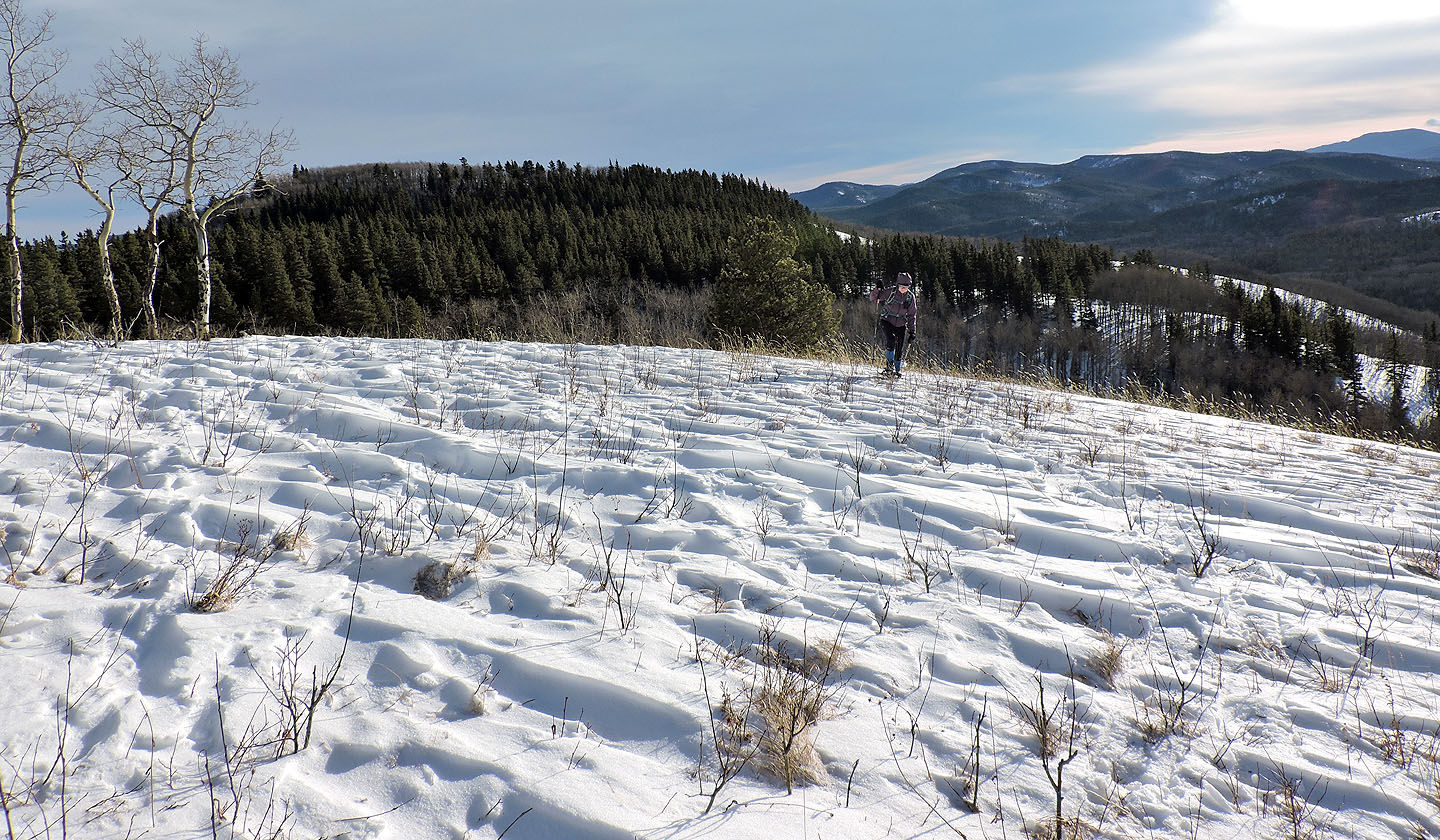
Looking back at Sinnot Hill
Arriving back at the saddle
82 J/15 Bragg Creek, 82 J/10 Mount Rae