bobspirko.ca | Home | Canada Trips | US Trips | Hiking | Snowshoeing | MAP | About
Marble Canyon
Kootenay National Park, Alberta
January 28, 2017
Distance: 4.7 km
Cumulative Elevation Gain: 70 m
The cliffs rising 400 m above Marble Canyon appear to be a promising snowshoe destination. However, I was concerned that the access slopes to the south, ravaged by a 2003 forest fire, might be strewn with deadfall, and insufficient snow could kibosh a winter ascent. But there was only one way to find out.
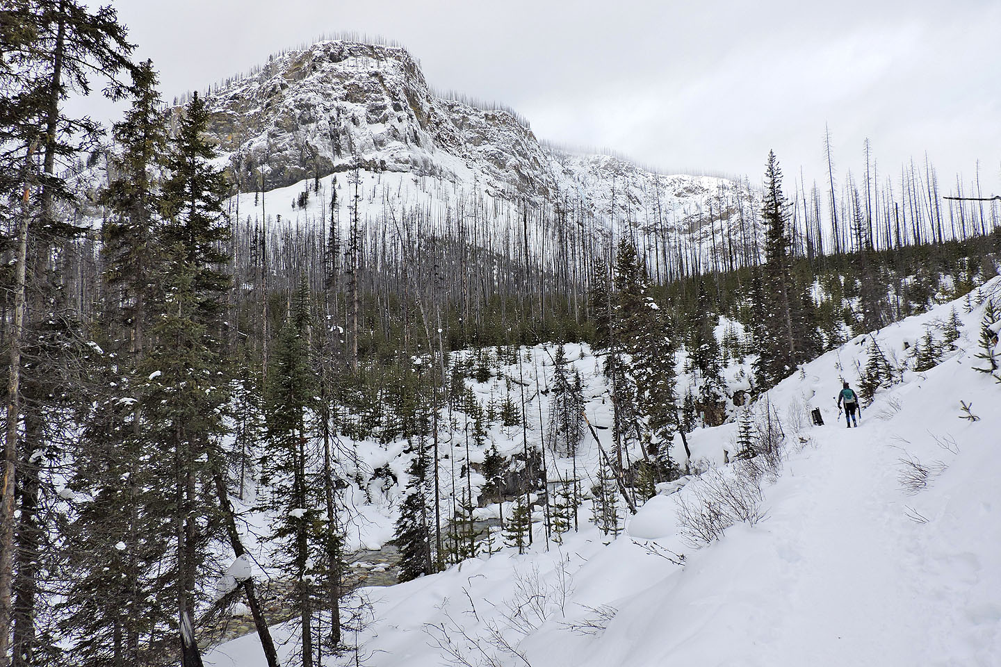
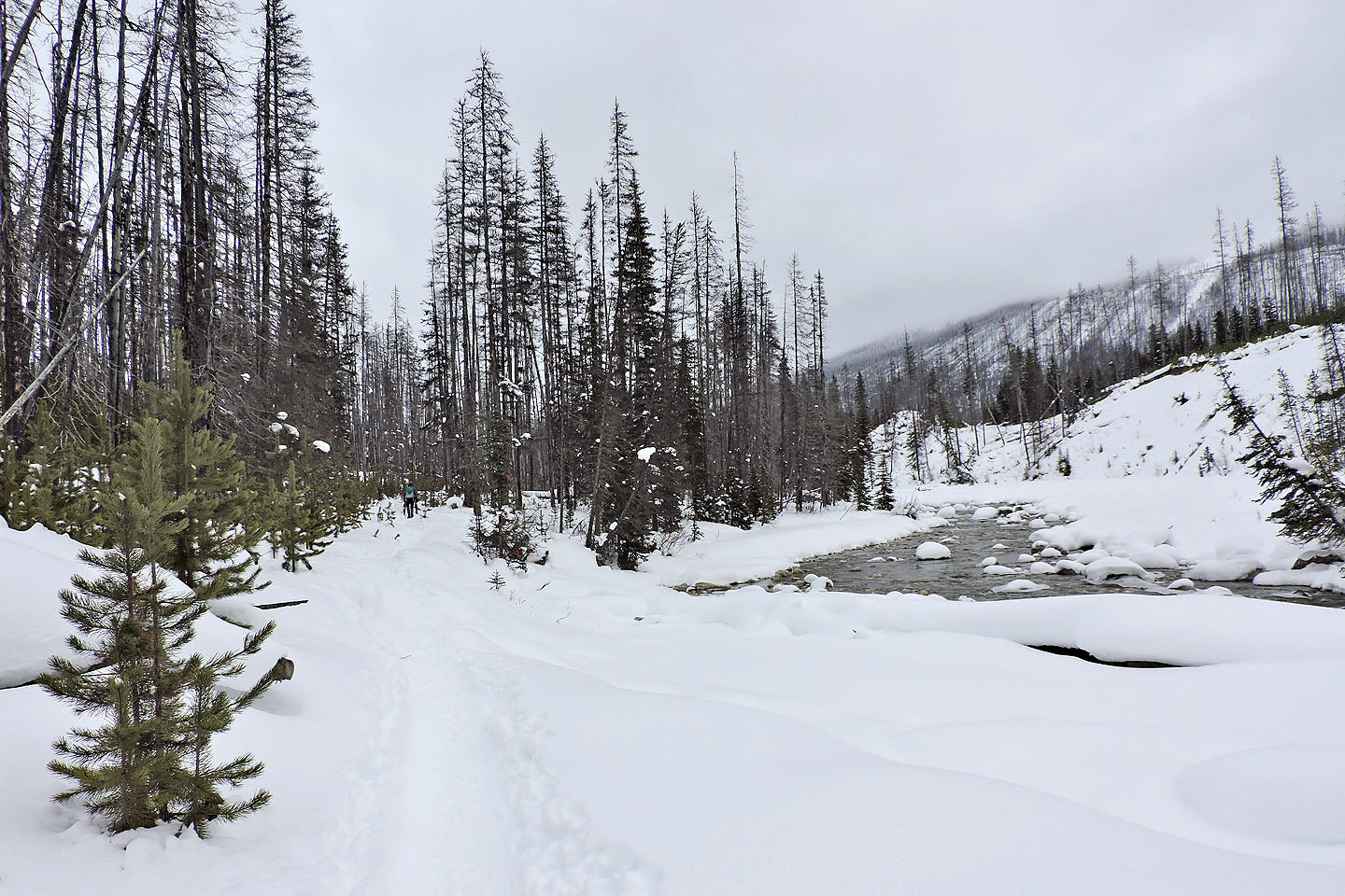
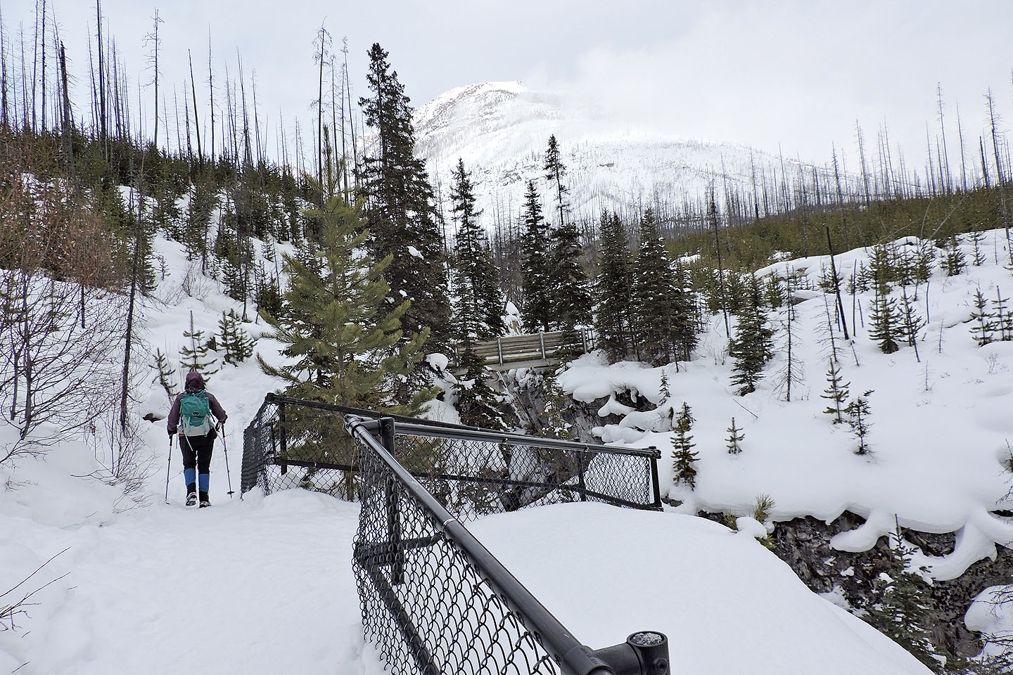
Dinah and I parked at the Marble Canyon trailhead. Since the snow on the trail was pounded down, we carried our snowshoes. After crossing the first bridge, we turned left onto the trail going to the Paint Pots. We followed it for about 1.5 km and searched for a suitable launching point.
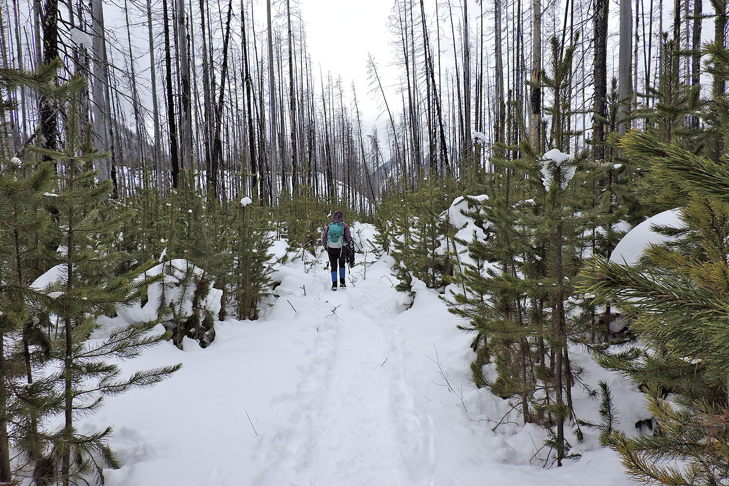
As I feared, the slope was rife with deadfall with little snow cover. While Dinah hung back, I snowshoed a short distance to look over a low rise to see if the situation improved, but if anything it appeared worse: everywhere there were big, fallen logs which the snow failed to bury. Perhaps spring would see enough snow on these slopes, although I doubt it. We turned around and headed back to Marble Canyon.
Marble Canyon trail is less than a kilometre long, but it’s packed with interesting scenery. You can’t build a day-trip around it, but if you’re in the area, Marble Canyon is worth stopping to see.
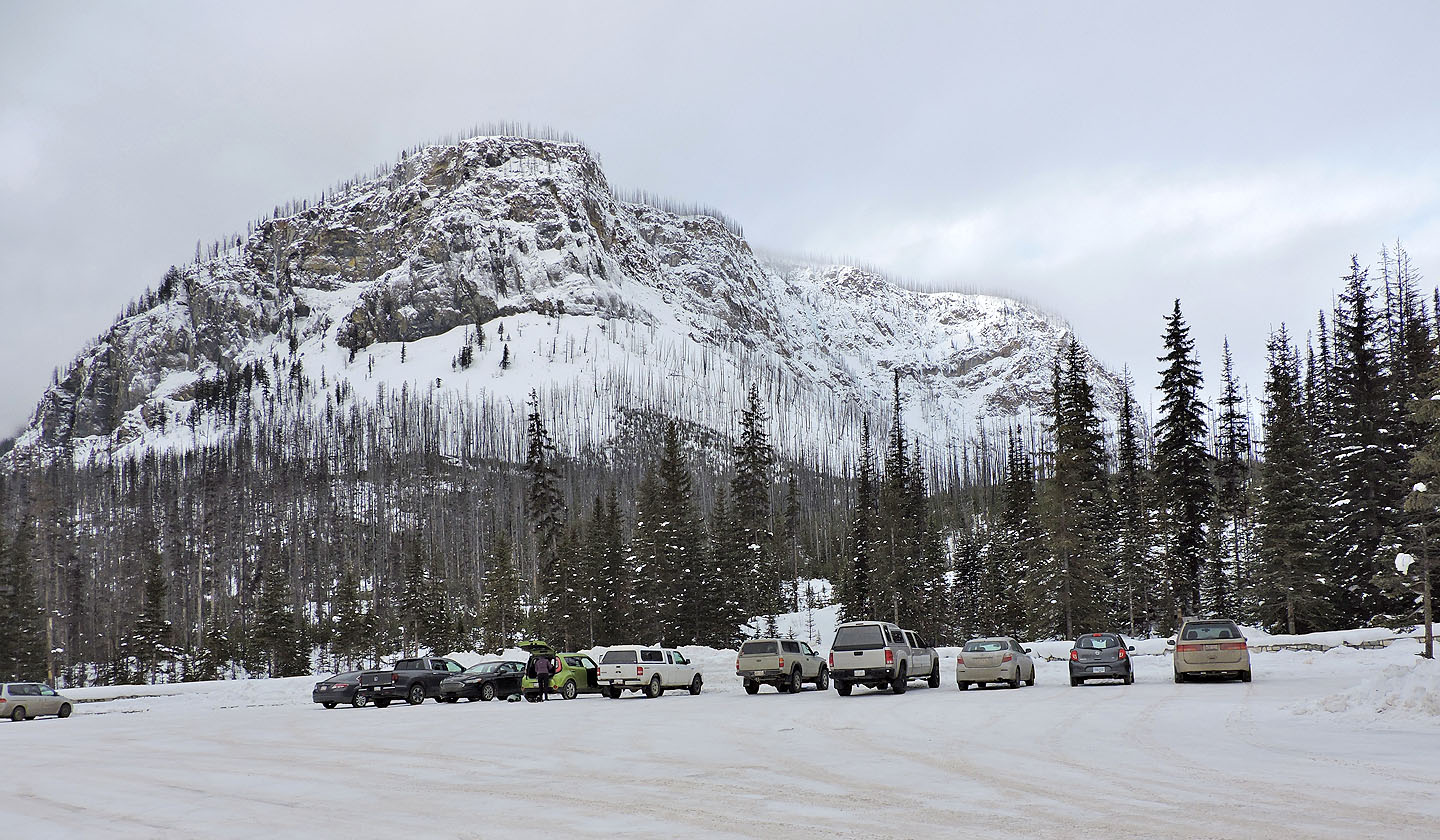
The cliffs above Marble Canyon trailhead
Starting up Marble Canyon trail
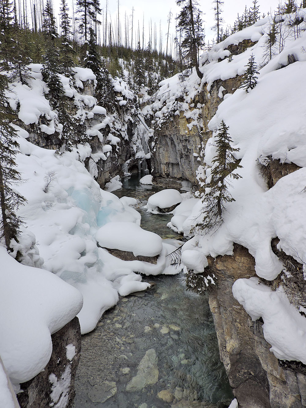
View of the canyon from the first bridge
On the trail that leads to the Paint Pots
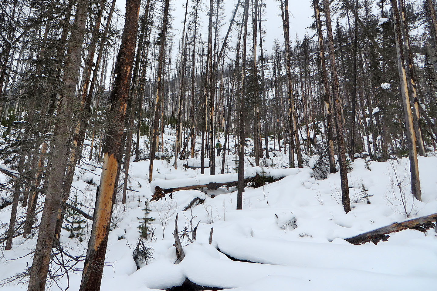
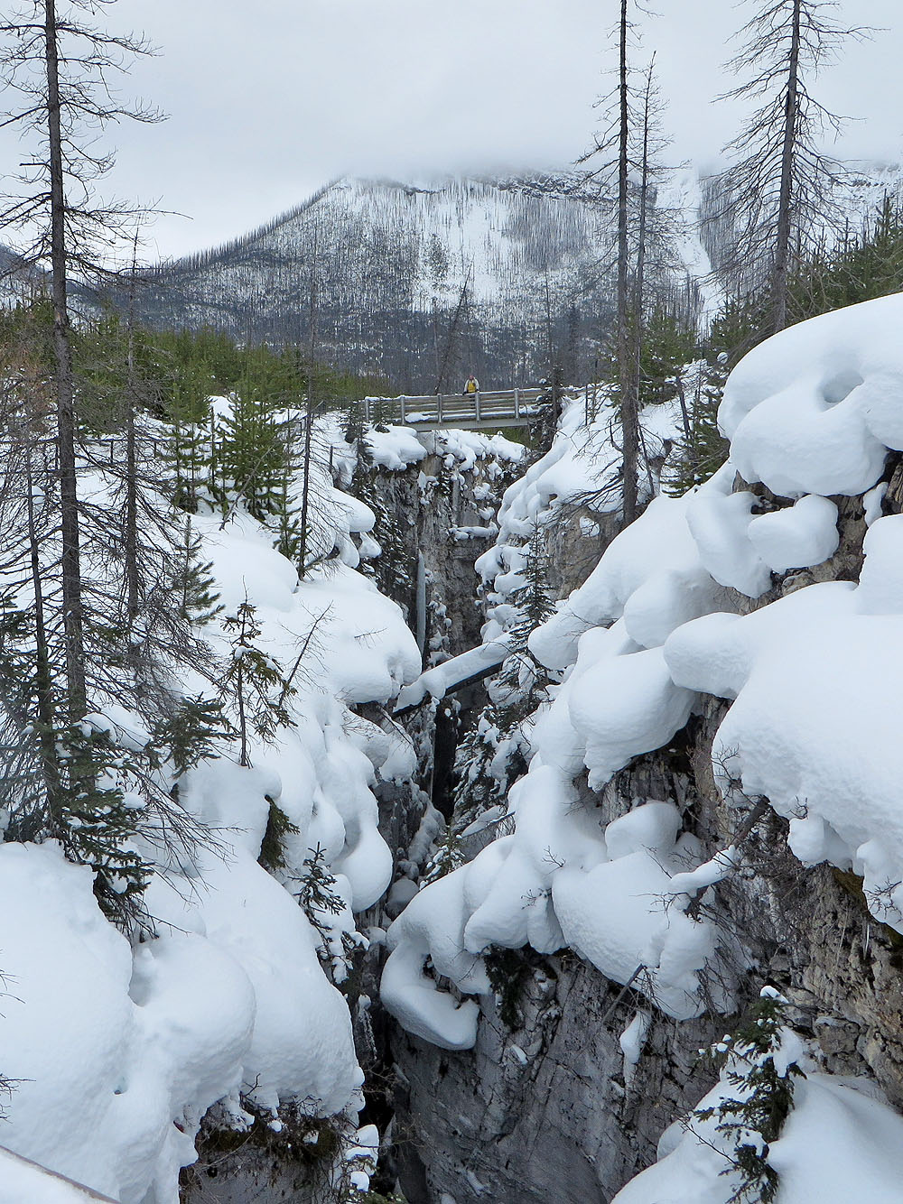
I'm barely visible in the centre
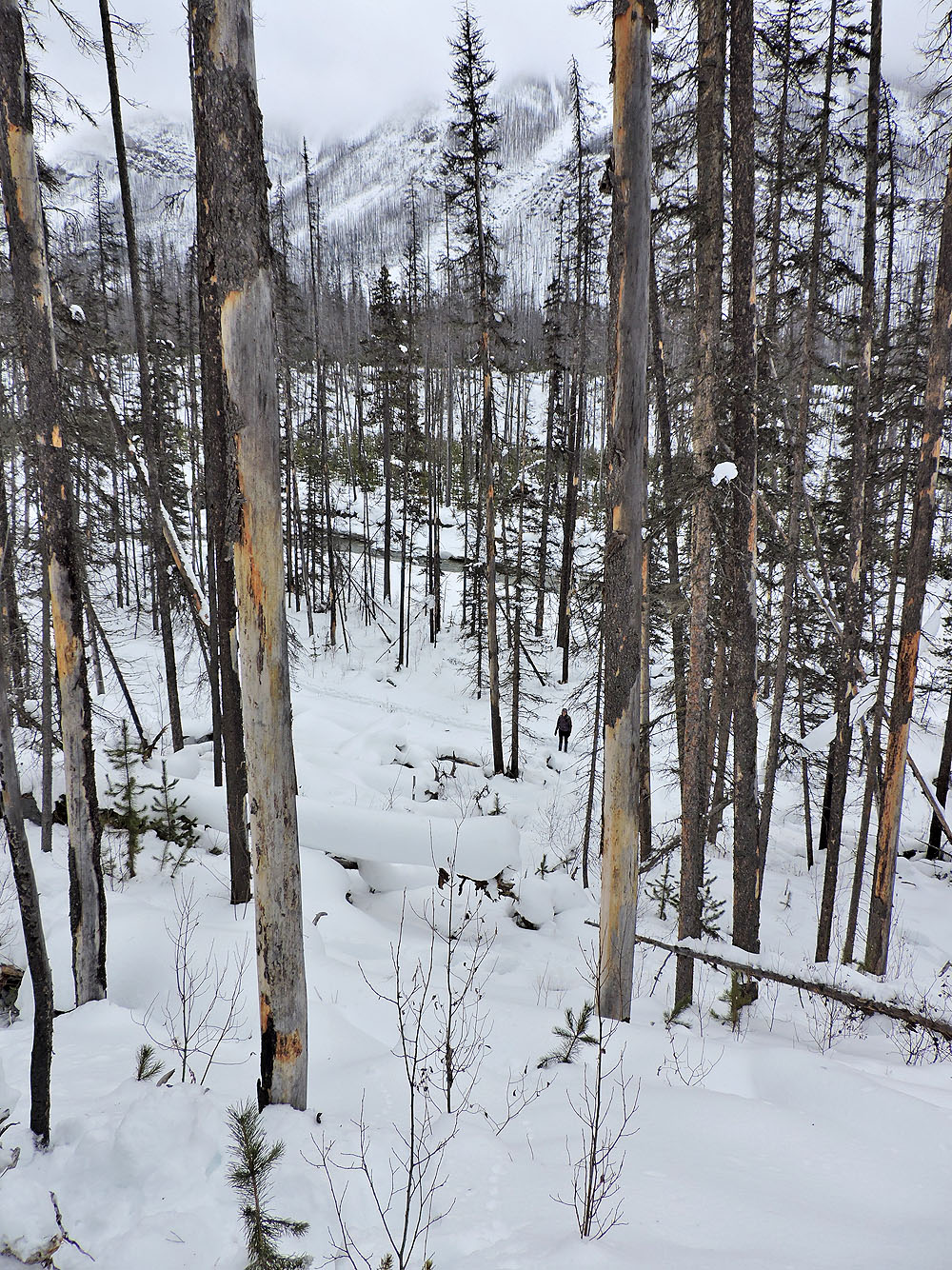
Looking back at Dinah
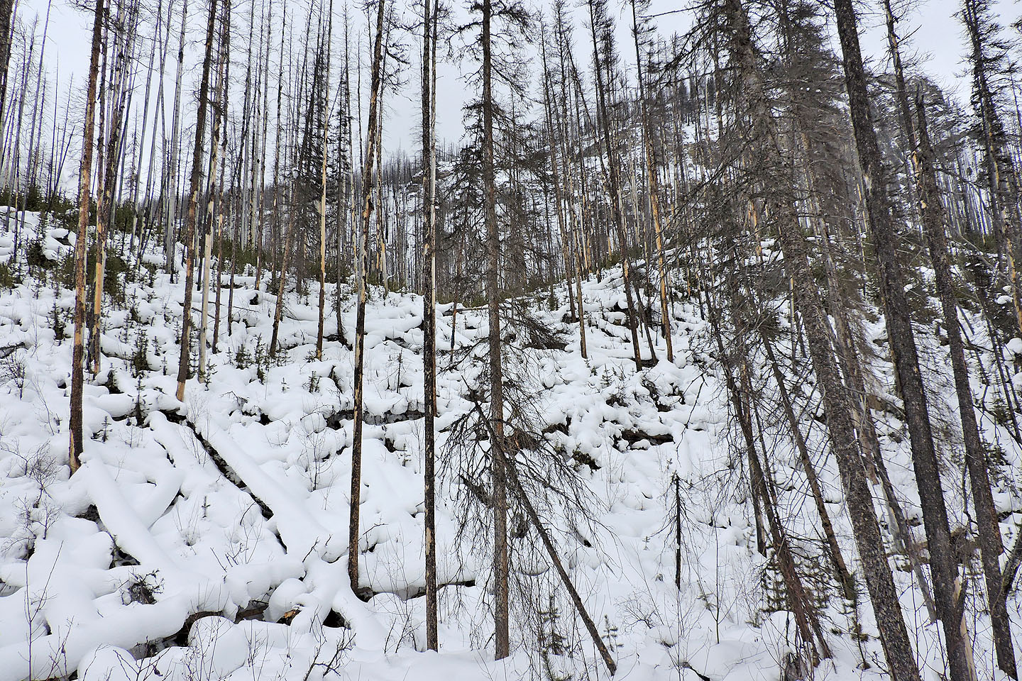
It was futile to continue
Heading back along the trail which follows Vermillion River
Back at Marble Canyon
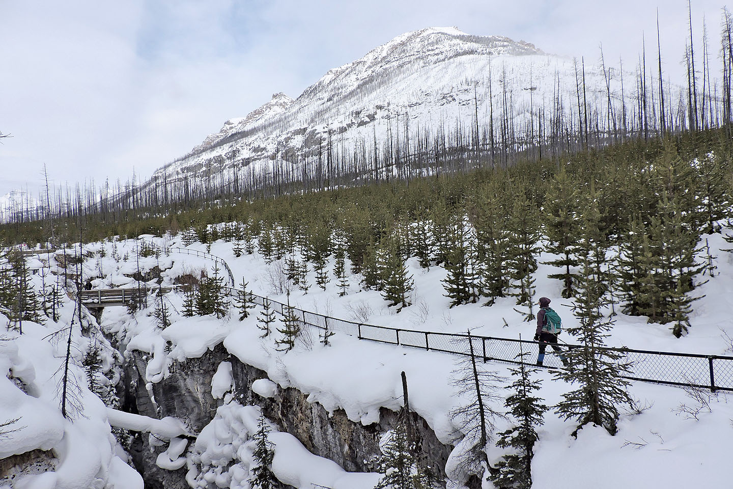
The south end of Mount Whymper fills the background
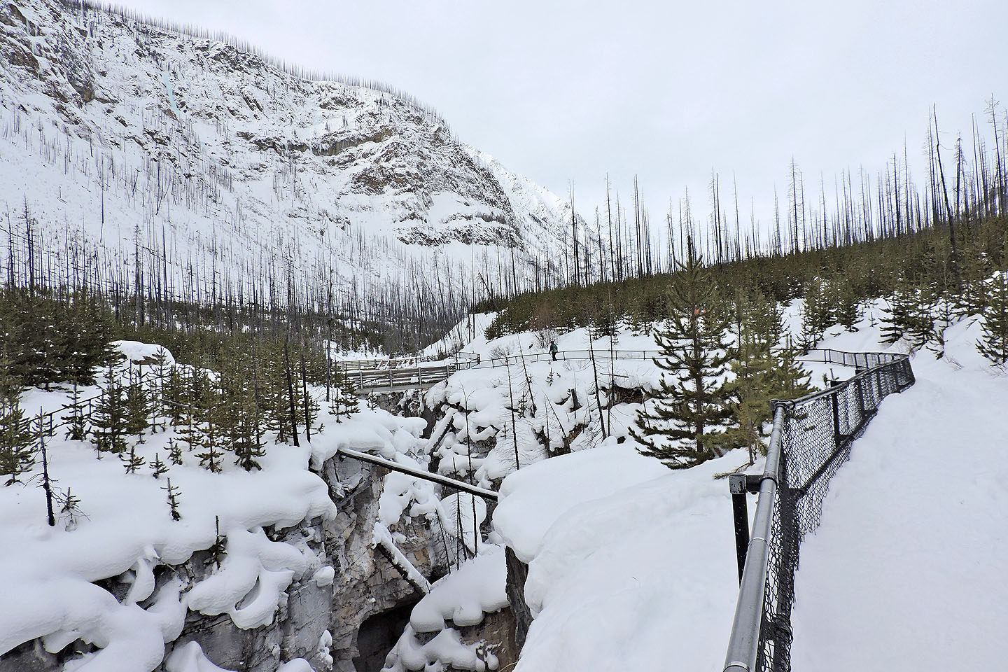
Looking back along the canyon
Dinah makes her way to the end of the trail
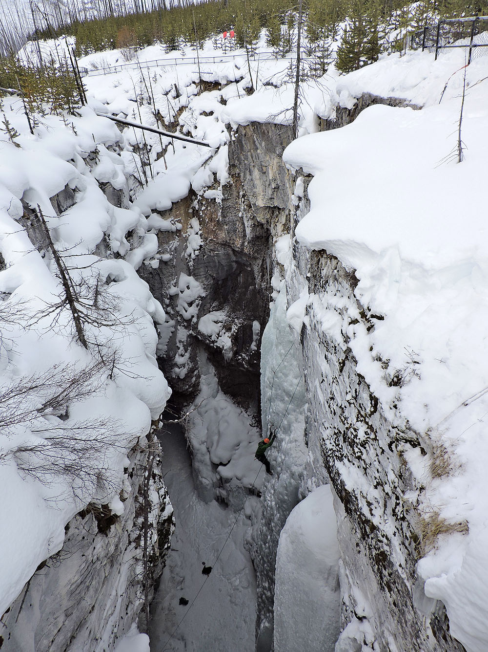
An ice climber ascends the 40-metre-deep canyon