bobspirko.ca | Home | Canada Trips | US Trips | Hiking | Snowshoeing | MAP | About

Commonwealth Ridge (Attempt)
Kananaskis, Alberta
February 13, 2010
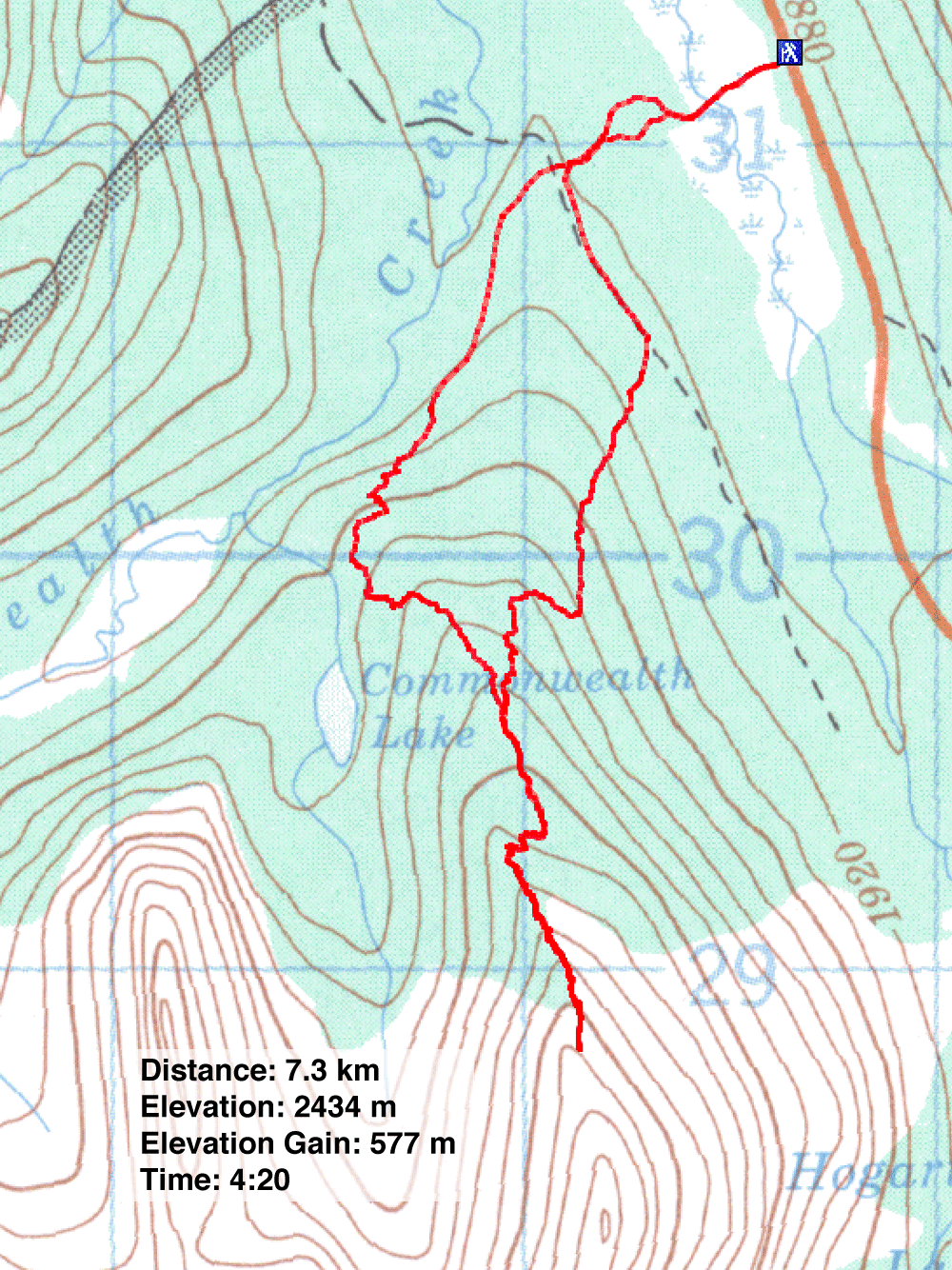
Distance: 7.3 km (4.5 mi)
Cumulative Elevation Gain: 600 m (1969 ft)
When Dinah and I climbed Commonwealth Ridge in 2001 with a group, we never had a chance to try climbing higher. We returned to explore further.
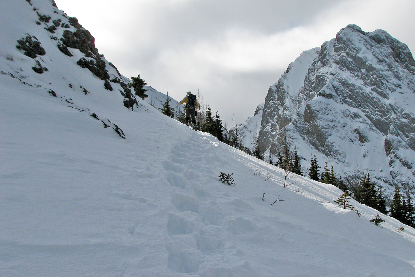
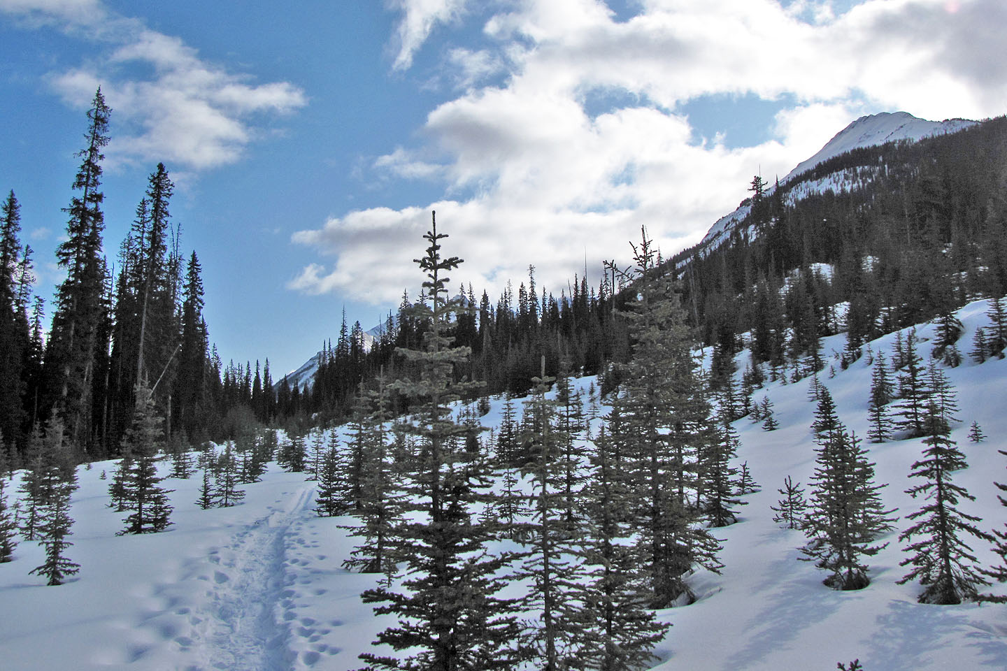
Following the well-packed trail that leads to Commonwealth Lake, we snowshoed to the foot of the ridge before starting our ascent. In a short time, we came across an old snowshoe track that followed the ridge to the shoulder above the treeline.
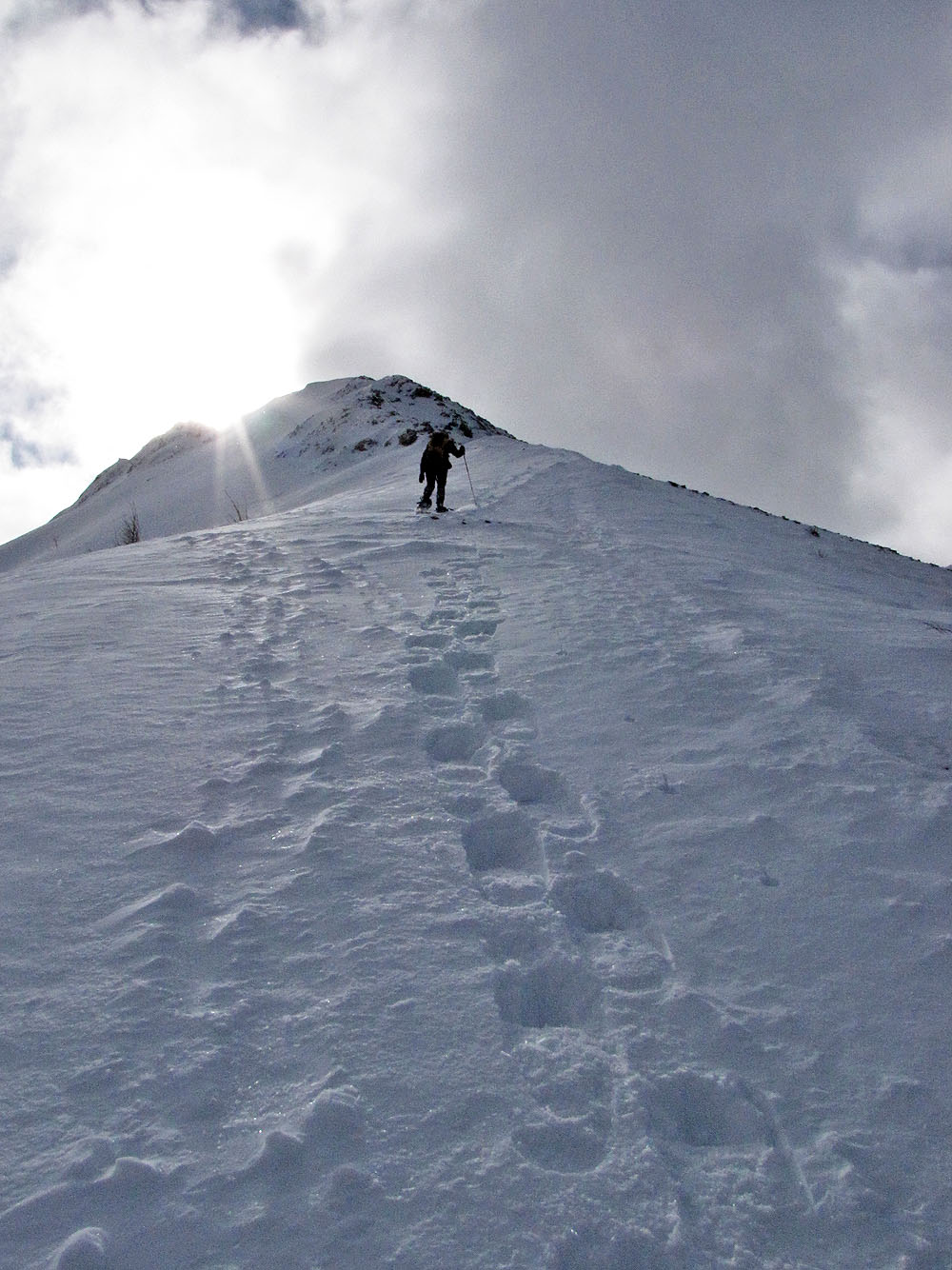
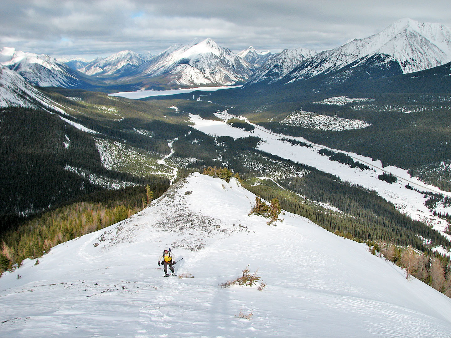
We continued up the ridge but turned back when it became too steep and rocky for us. A winter scramble isn't for us. Exposed to the wind on the shoulder, our hands began to get cold so we didn't stick around long. I took a panorama and we started back down.
As we headed back we spied a track dropping down on the east slope and took it. It meandered down until it reached a north-south trail. We followed that trail back to the Commonwealth Lake Trail.
We later learned that the snowshoe track we had followed was laid down by the Rocky Mountain Ramblers six weeks earlier.
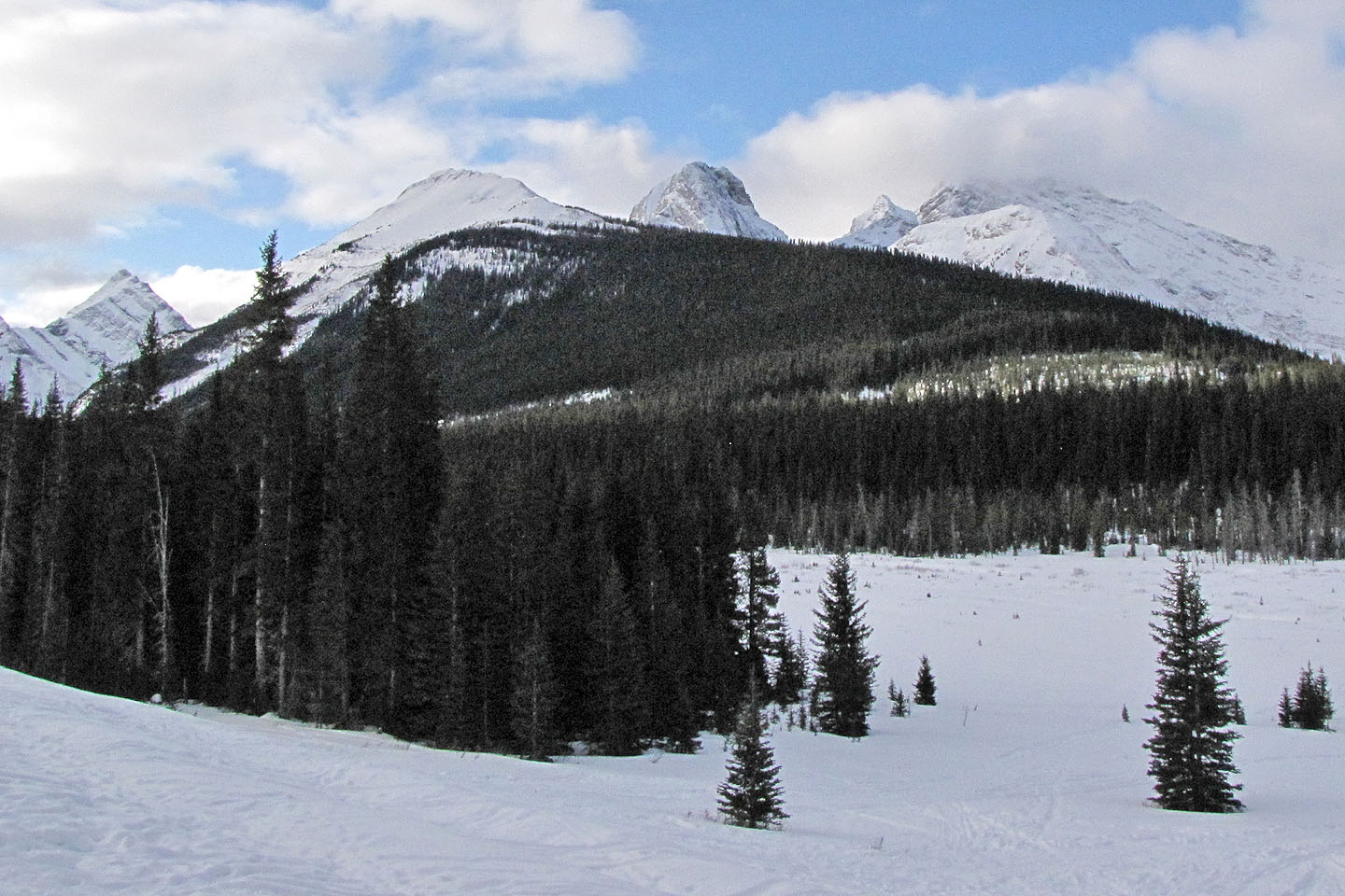
Commonwealth Ridge and Peak from the road
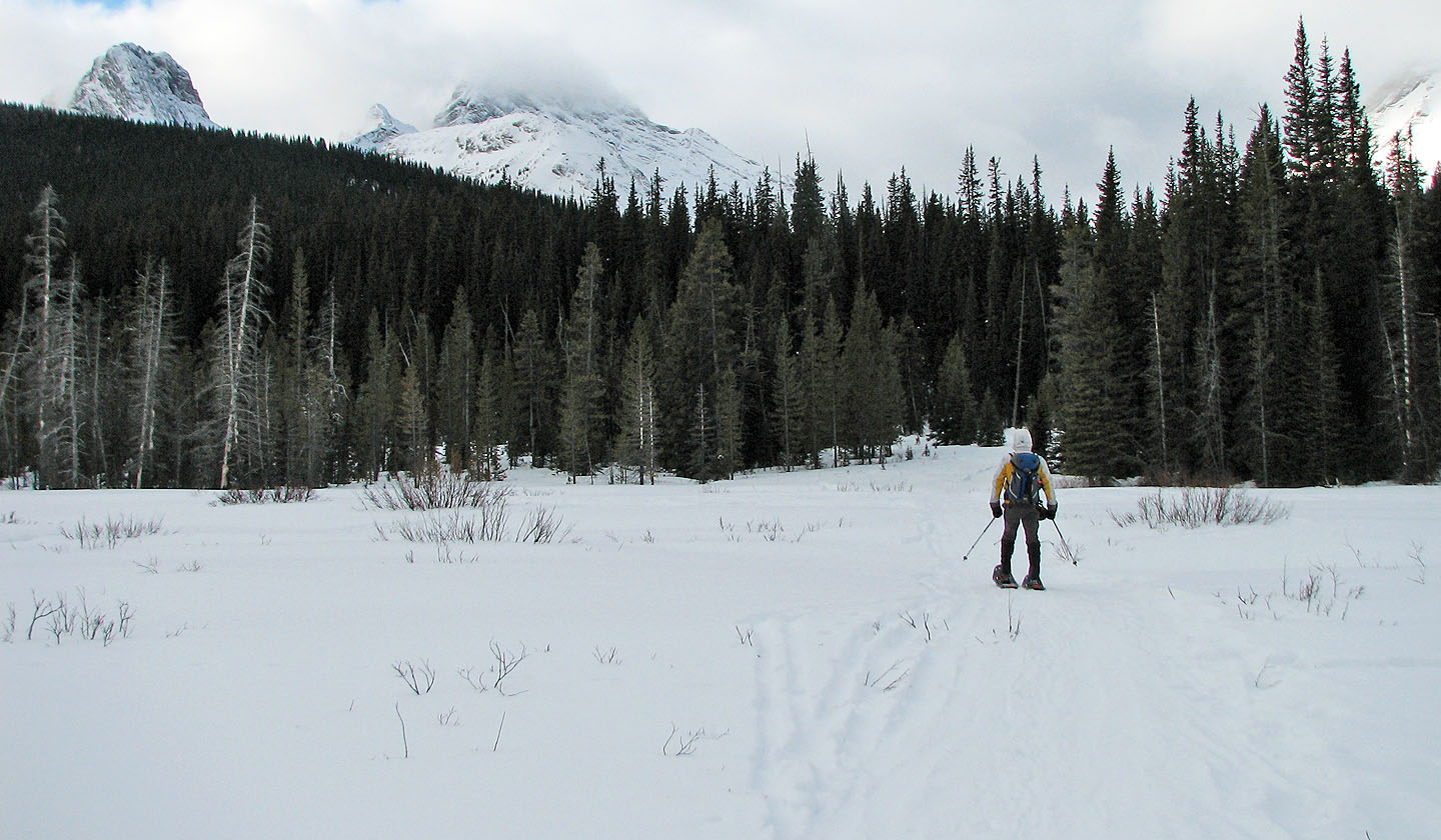 Starting up the trail
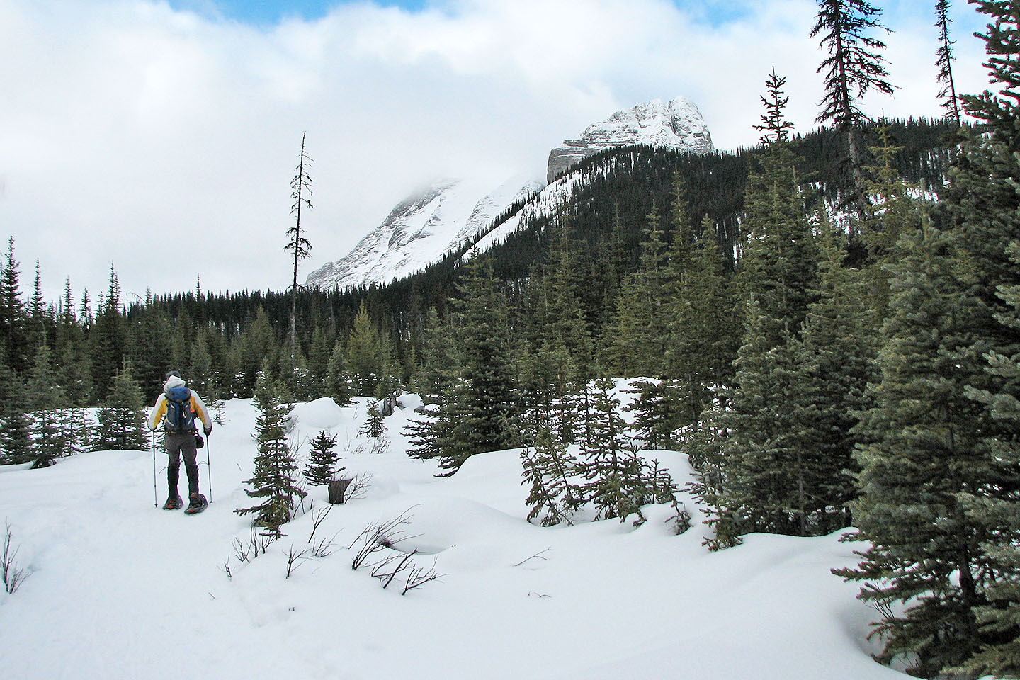
The Fist appears on our right
Going up the ridge
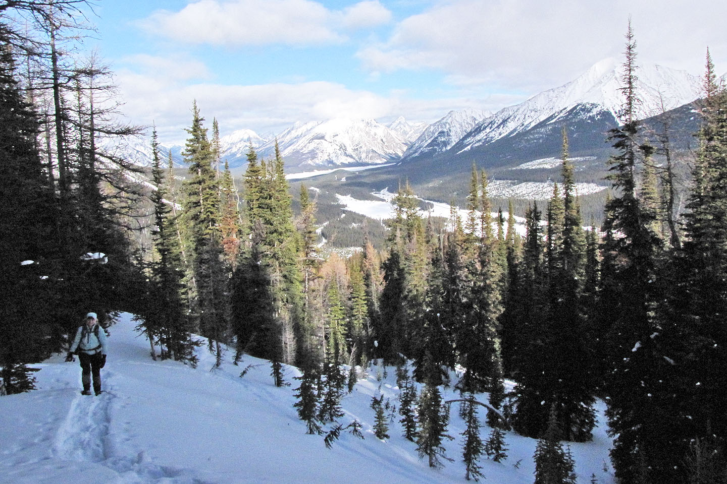
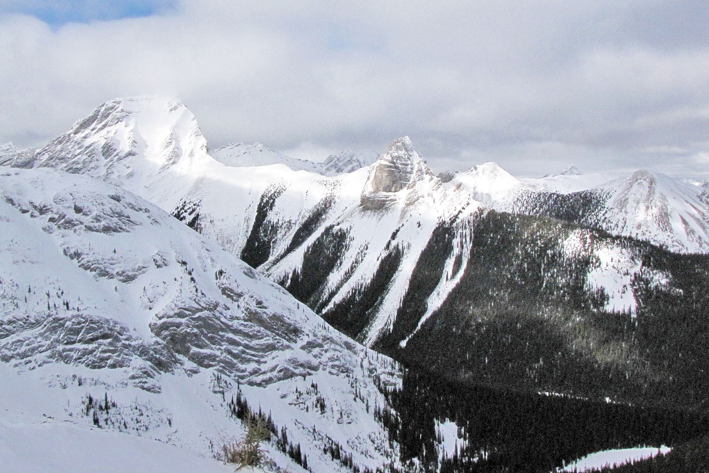
Spray Valley spreads out below us
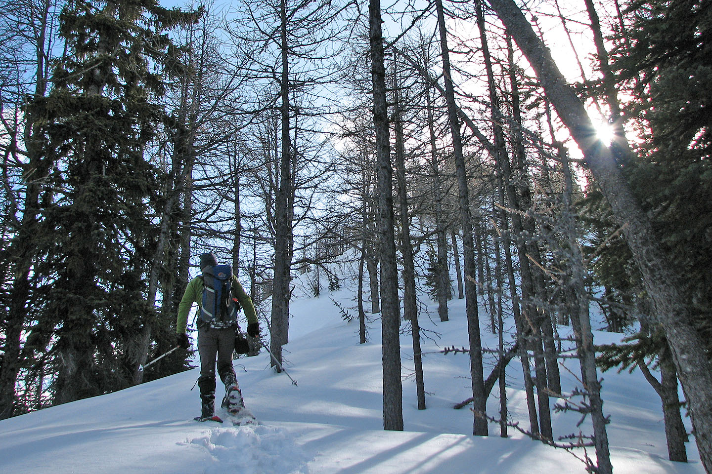
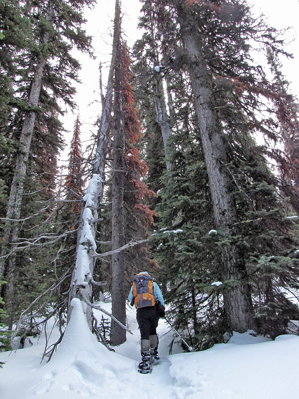
Entering a copse of larches
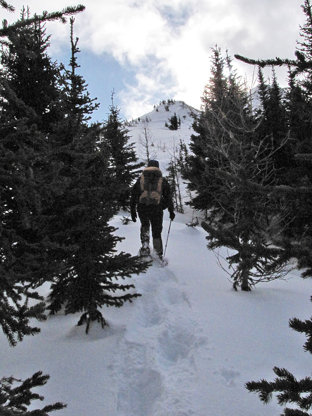
We reached the treeline
The Fist now appears as a pointed rock
We worked our way around to the shoulder (mouse over to look back)
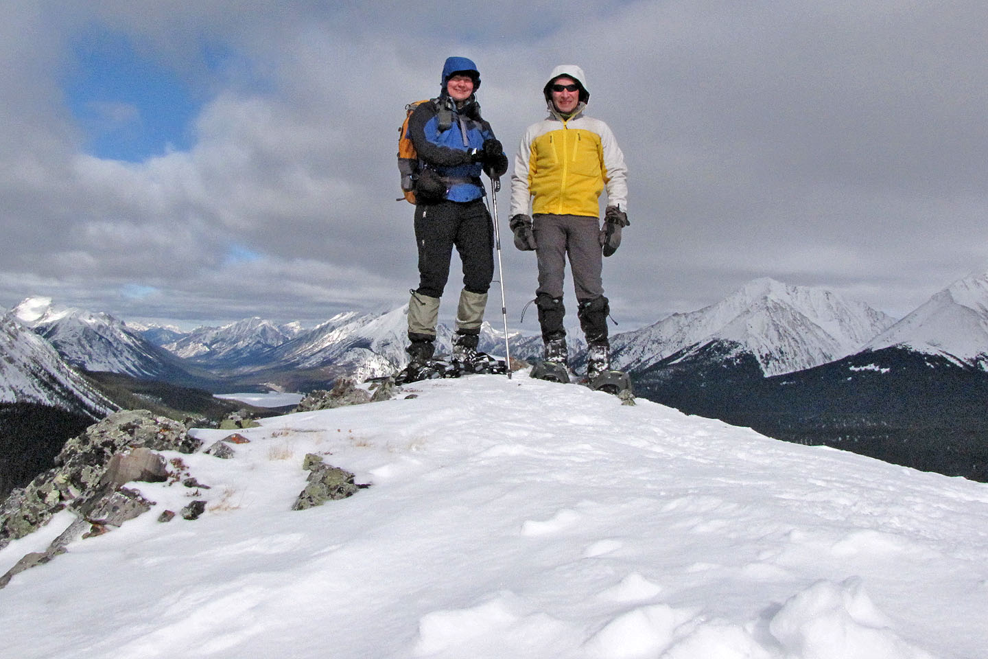
On the shoulder
Mount Smuts and The Fist. The East Ridge of The Fist is another snowshoe trip.
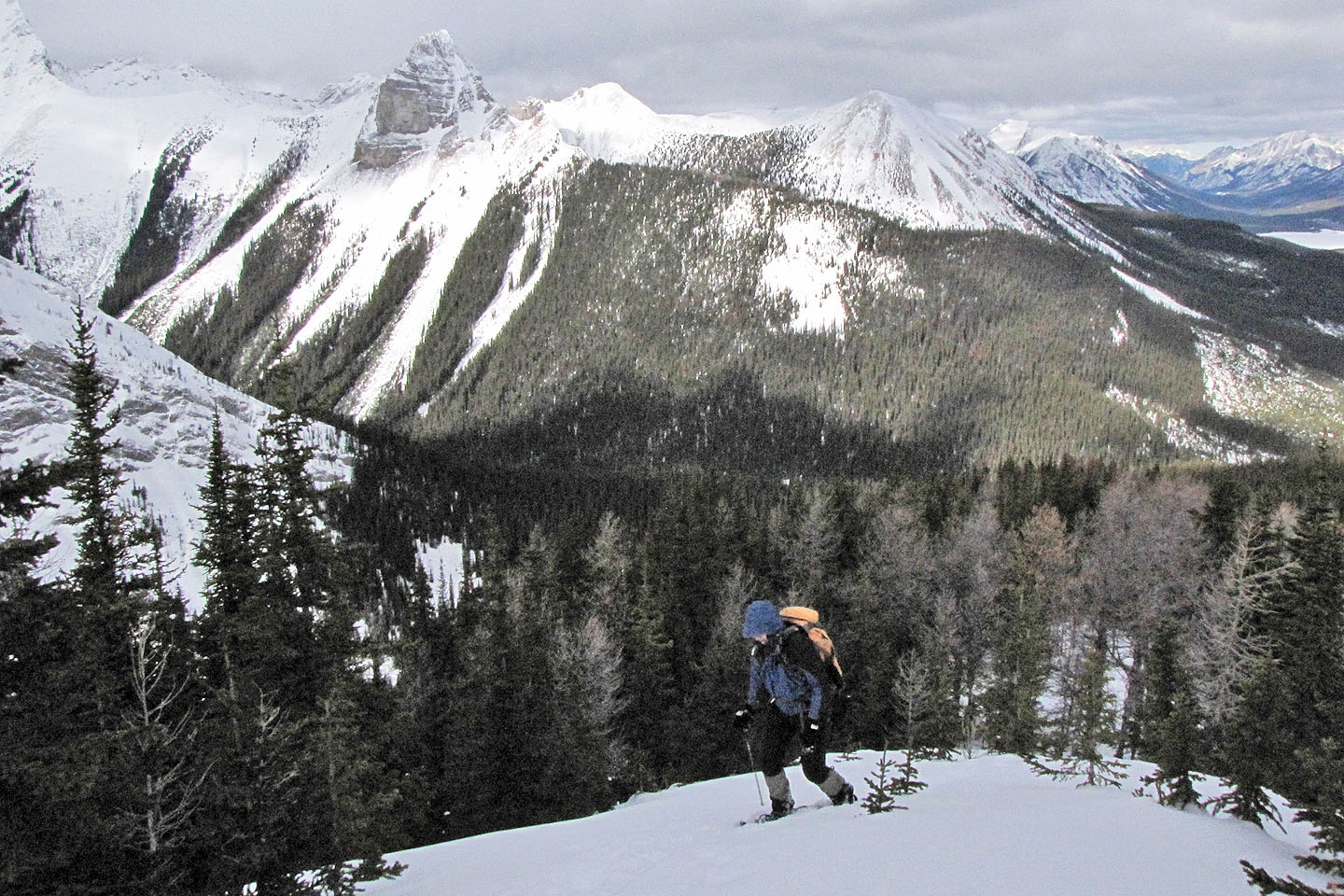
Dinah continues up the ridge
Looking back at the shoulder
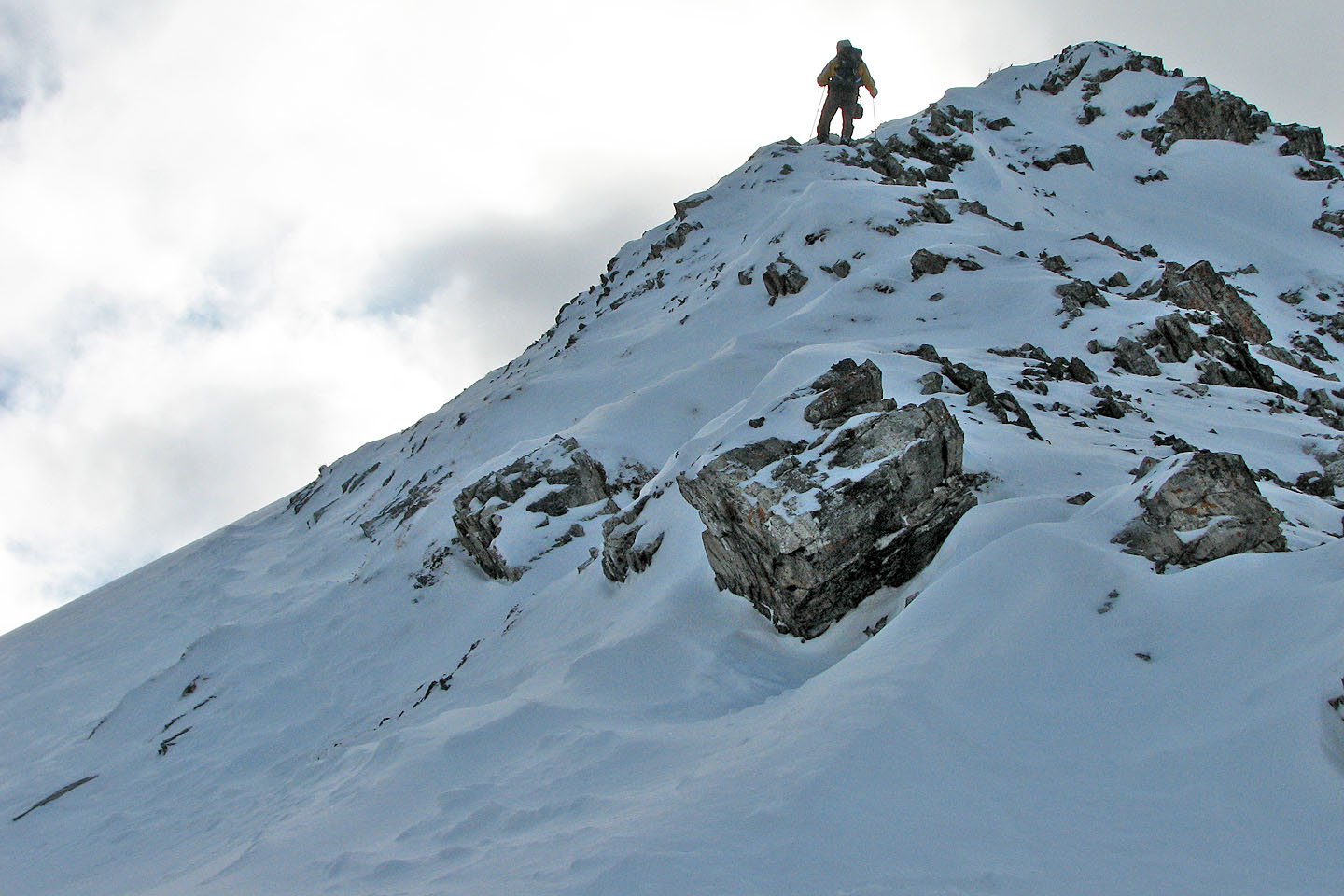
I stopped when the ridge became too steep to continue
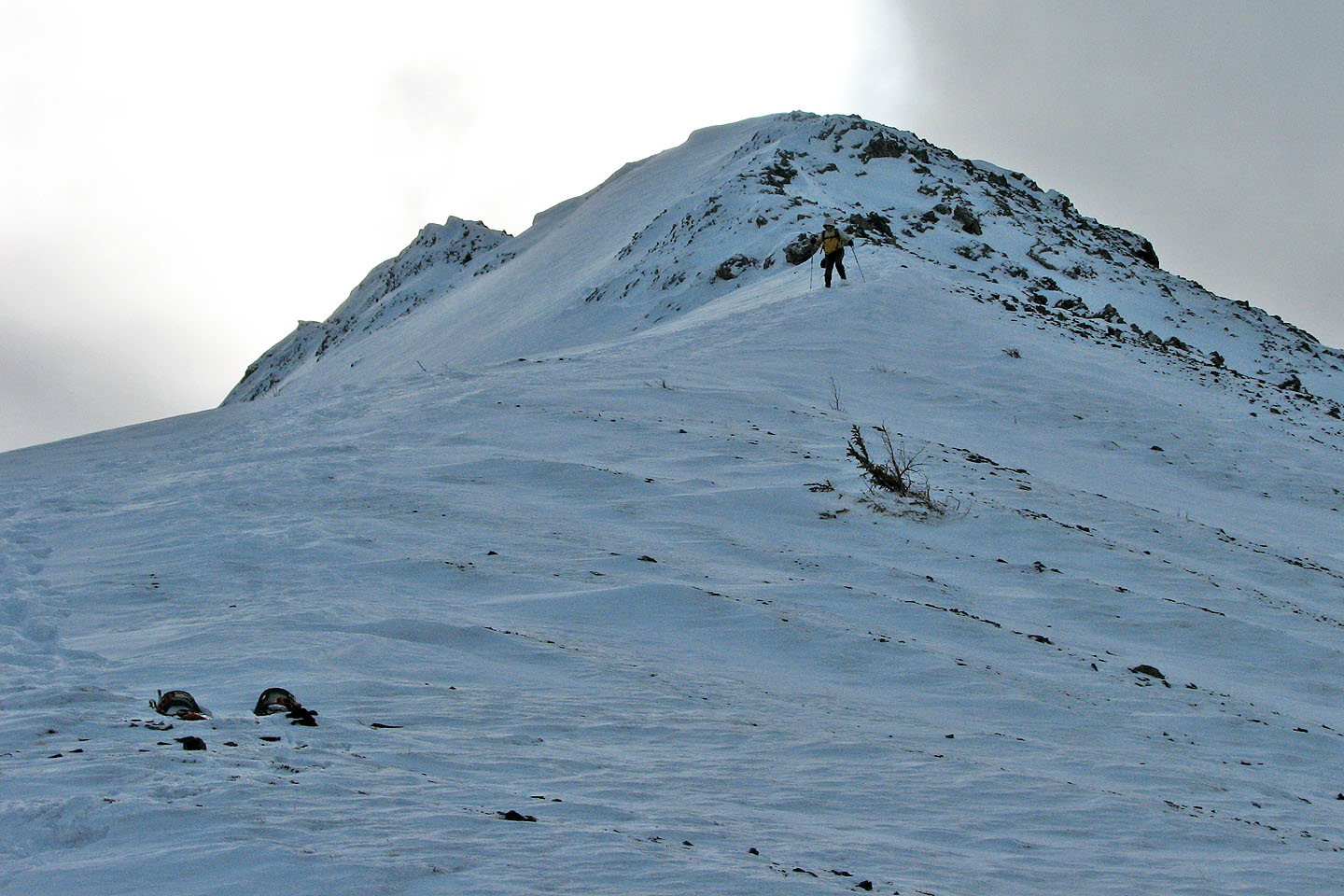
Coming down
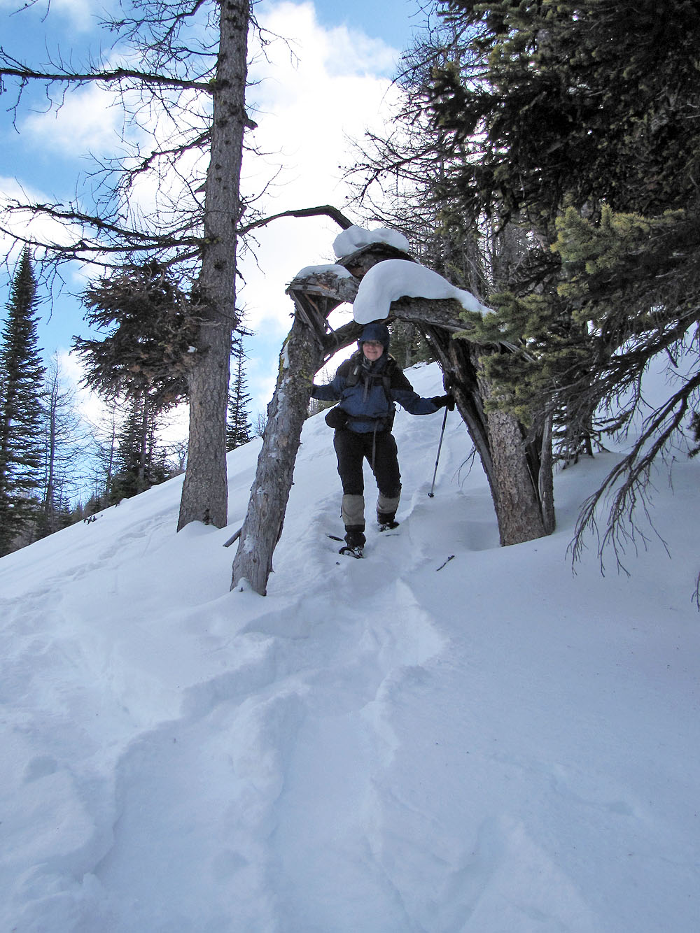
We followed a trail under a broken tree
Looking back at Commonwealth Ridge after descending the east slope (mouse over for a close-up)
82 J/14 Spray Lakes Reservoir