bobspirko.ca | Home | Canada Trips | US Trips | Hiking | Snowshoeing | MAP | About
Unity Peak
Skoki, Banff National Park, Alberta
July 25, 2020
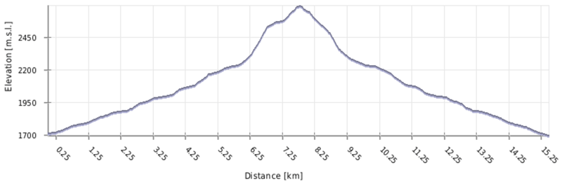
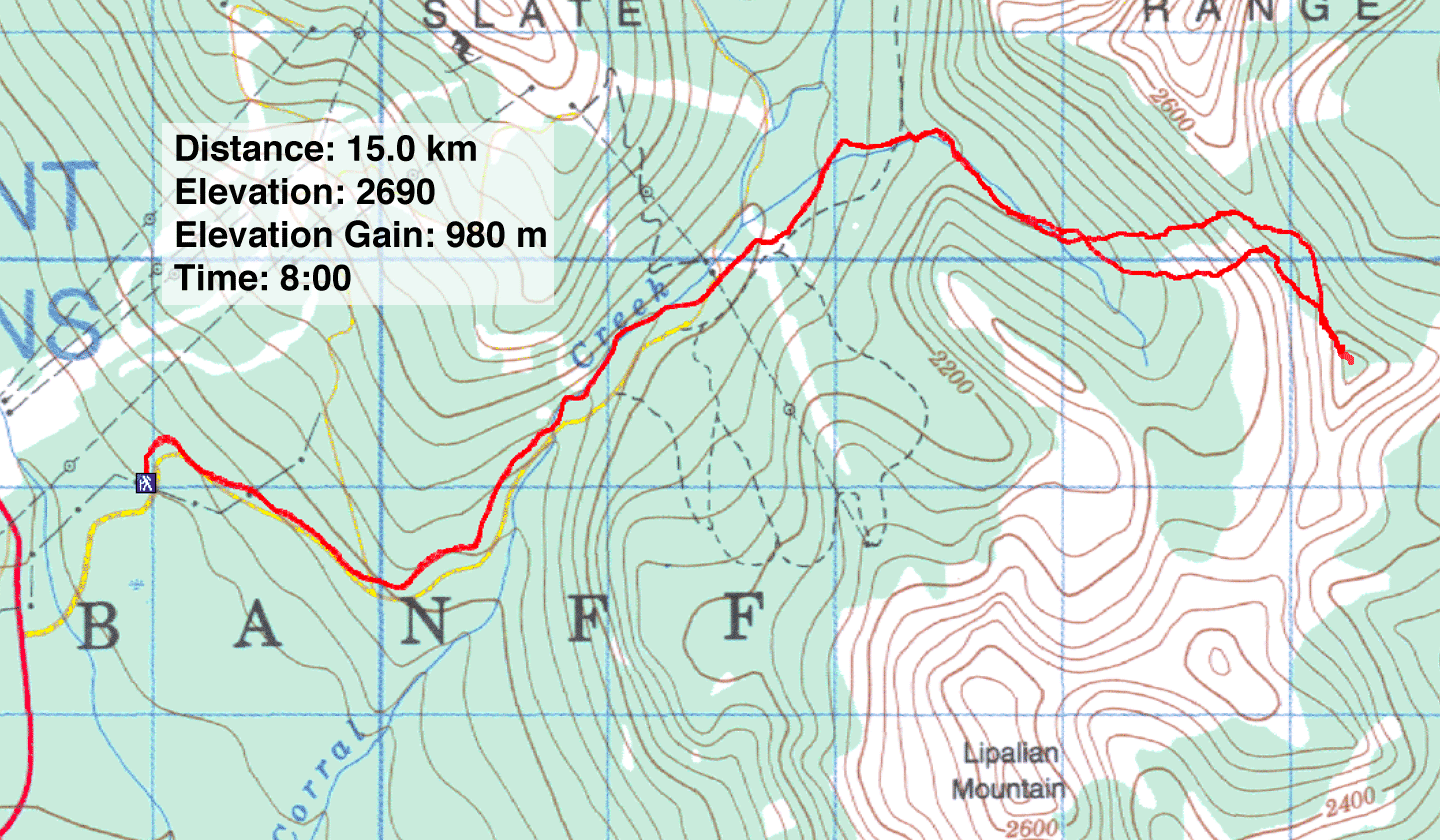
Distance: 15.0 km (9.3 mi)
Cumulative Elevation Gain: 992 m (3255 ft)
After a several-year absence, Dinah and I returned to Skoki to climb Unity Peak from Wolverine Valley. Alan Kane describes a descent route in Scrambles in the Canadian Rockies, but his route includes going down scree. To avoid ascending scree, we planned another route.
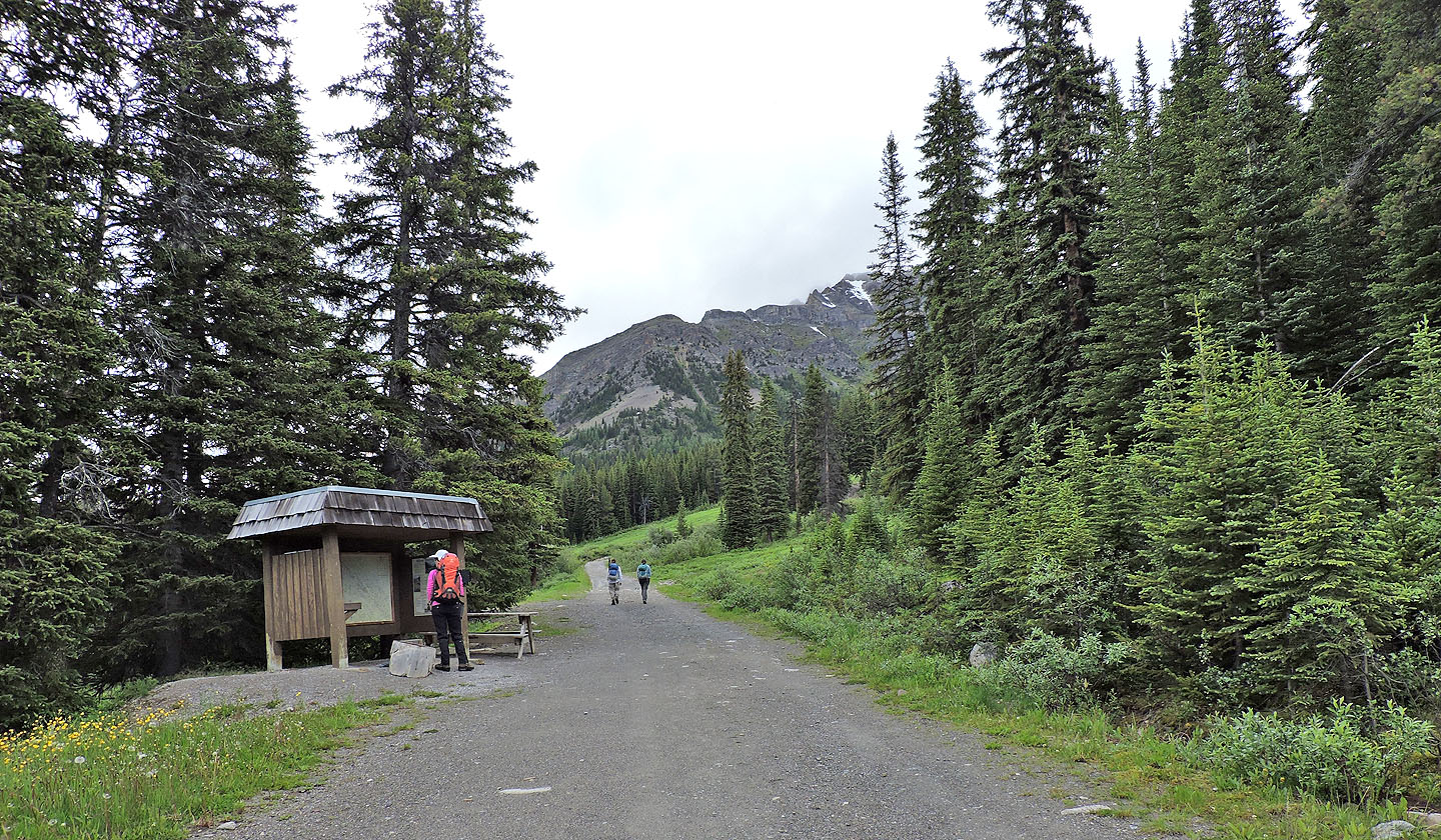
When we arrived at Fish Creek parking lot at 8:30 am, cars filled the parking lot and spilled onto the roadside. Zora and Kari, who were joining us, were already there. We gathered our packs and started walking up the Temple Lodge access road.
At 3.8 km the road ends, and the broad trail to Boulder Pass takes over. We hiked up the trail for 700 m before coming to the narrow side trail to Wolverine Valley. For a time, we followed the trail easily, but after entering the valley it lost distinction. We stuck to wisps of trail until we reached thinning trees on our left. We left the trail, and in a short time, we could see across the valley to the slope we wanted to climb. We spied a route that headed to the Redoubt-Unity col while avoiding cliffs.
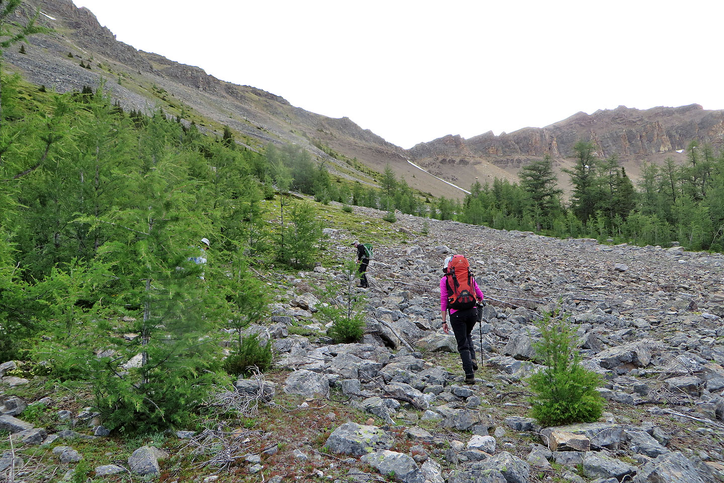
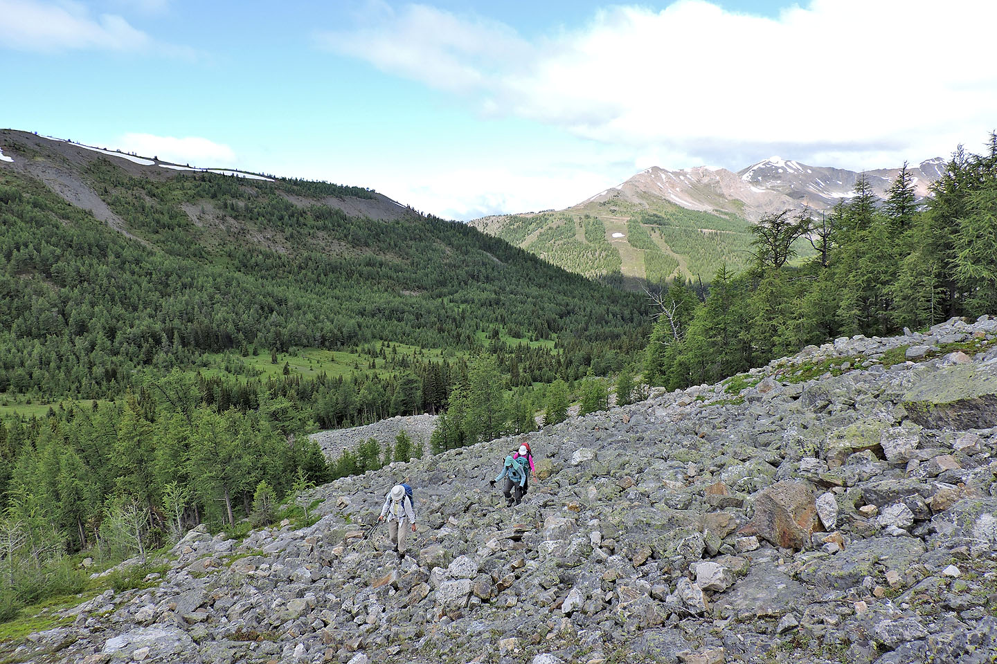
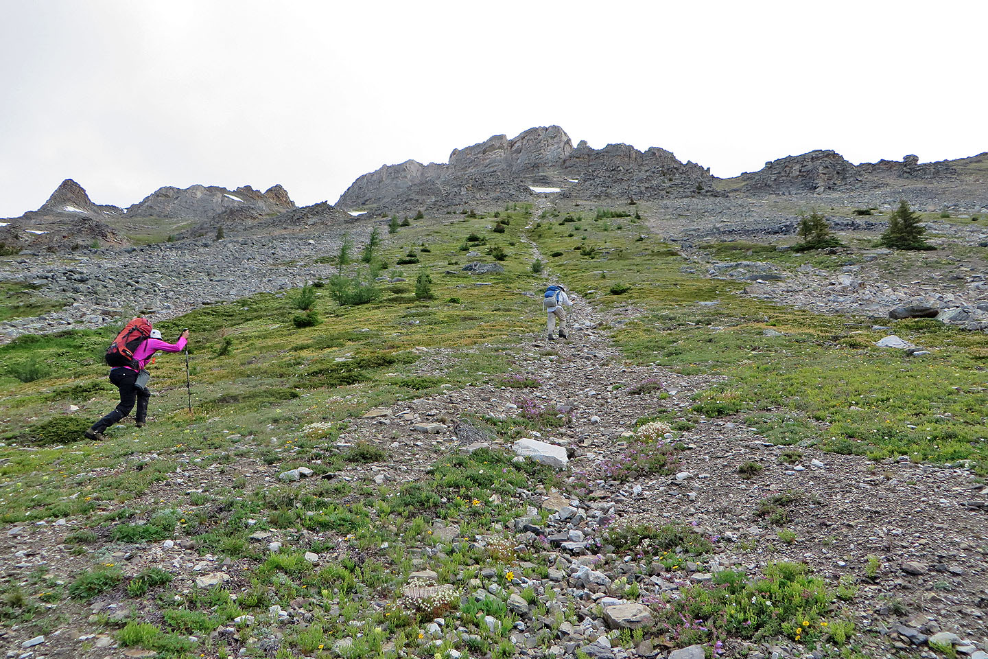
We made our way through light forest, meadows and bogs before crossing the valley-bottom stream. Starting up the other side, we stuck to vegetated slopes as much as possible. When a pinnacle high up the slope came into view, we realized it was a significant landmark: after reaching it, we could traverse open slopes to the col. From the col, the summit is 500 m away.
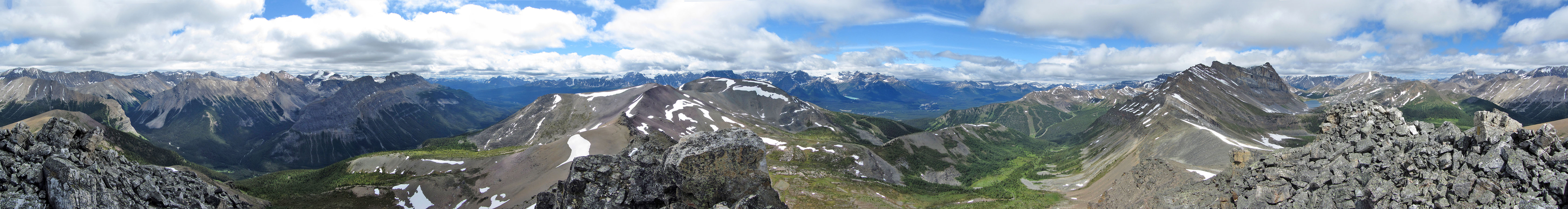
We reached the col without incident and hiked up the northwest ridge to the summit block. In reality, it looked less like a block and more like a pile of boulders. But the quartzite rocks provided little impediment. We reached the top of Unity but not all at once: there was room for only one person. The highest point is a huge block of quartzite, but being canted none of us tried standing on it. However, it was easy to hover over it by standing on a lower boulder.
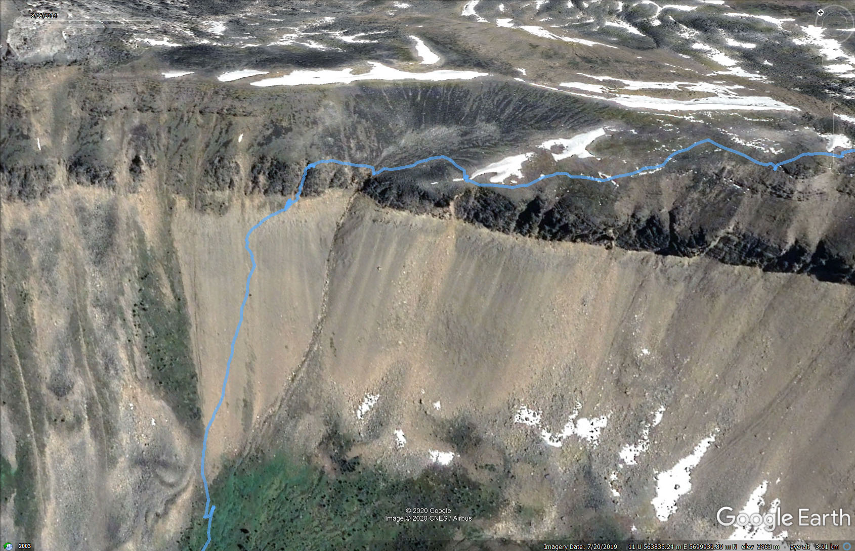
After spending some time on top, we headed down. We decided to descend Kane's third gully at 638000. But his GR matched the fifth gully we came to, and that's what we came down.
The narrow, steep gully was doable, although loose rock and flowing water hobbled our descent. At the bottom, we hit a drop that offered few handholds and footholds. However, we managed to get down. The scree below was the finest I've encountered; coming down was like running down a sand dune. At the bottom, we took a break in a meadow before heading back. We enjoyed climbing Unity, but next time we won't wait so long to return to Skoki!
Postscript: I pointed out to Alan Kane that we didn't appear to descend his gully; the GR was too imprecise and counting gullies was unreliable. He agreed and sent me an image of his track. After he and Sim went back and checked it out, he wrote: Gully one is at the low point. I continued further to gully three, turned left and descended easily.
The road ends and the trail starts
The trail soon enters the trees
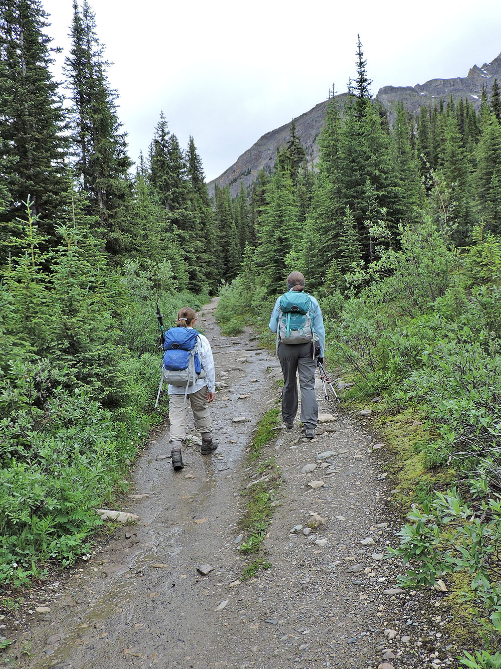
Leaving Boulder Pass trail for the trail into Wolverine Valley
A narrow trail leads to the valley
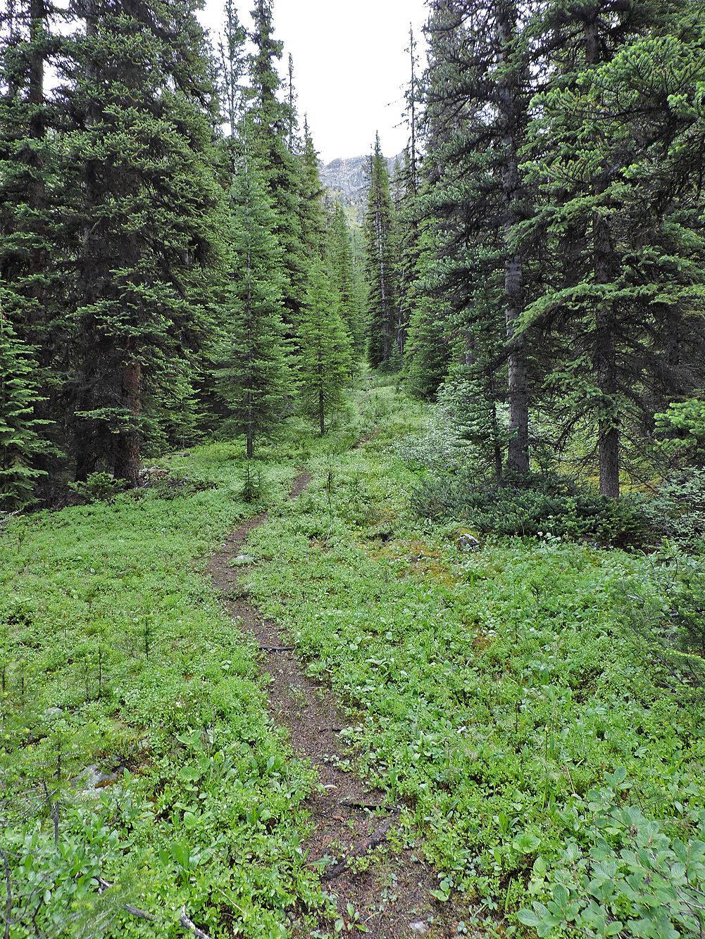
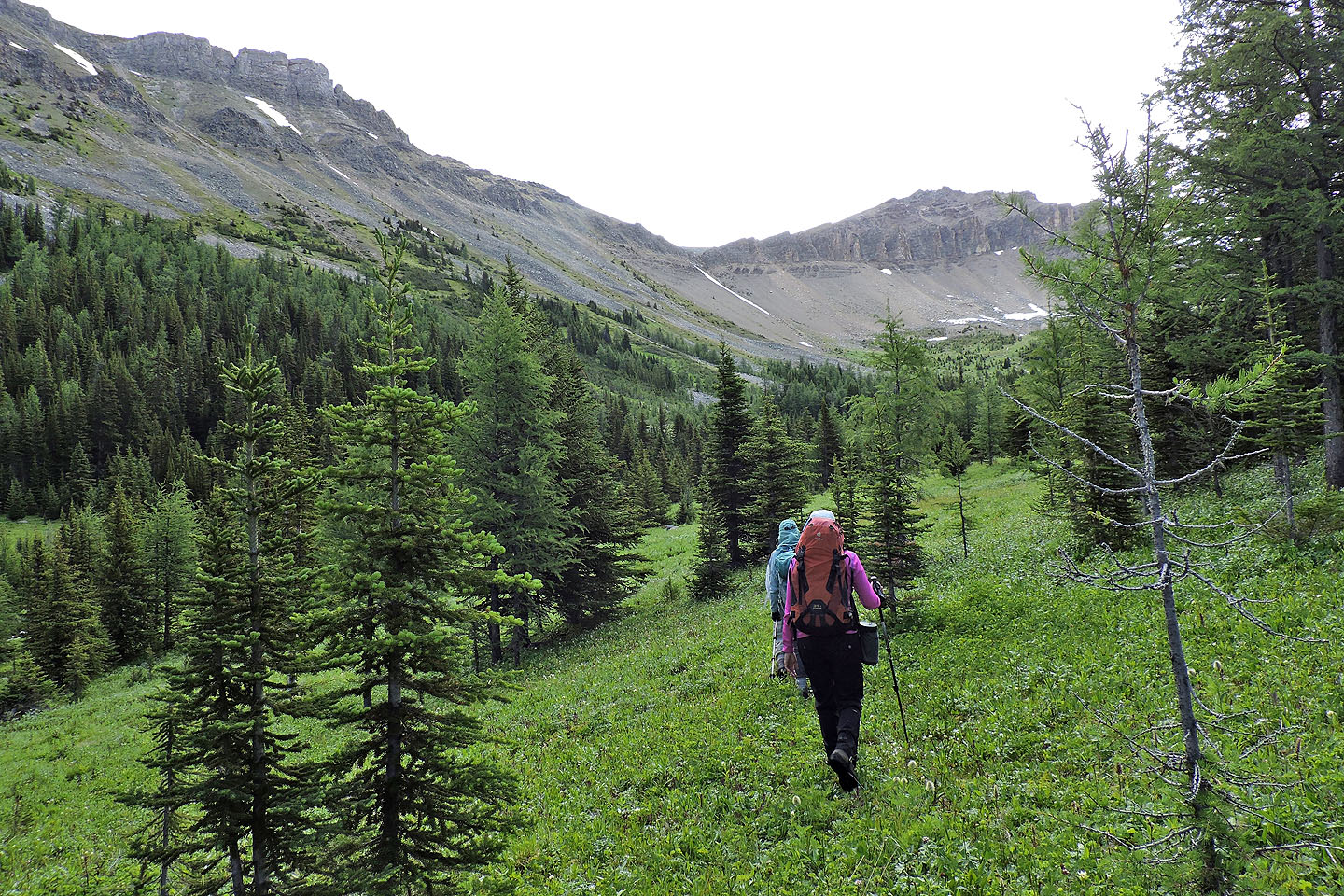
The trail grew fainter in the valley. Unity Peak appears ahead.
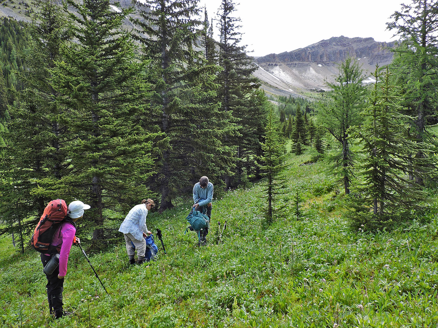
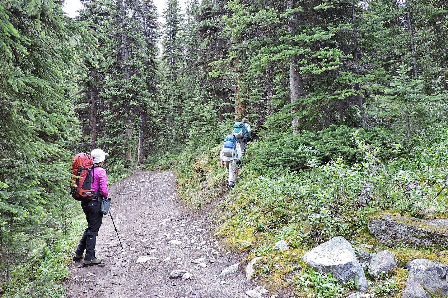
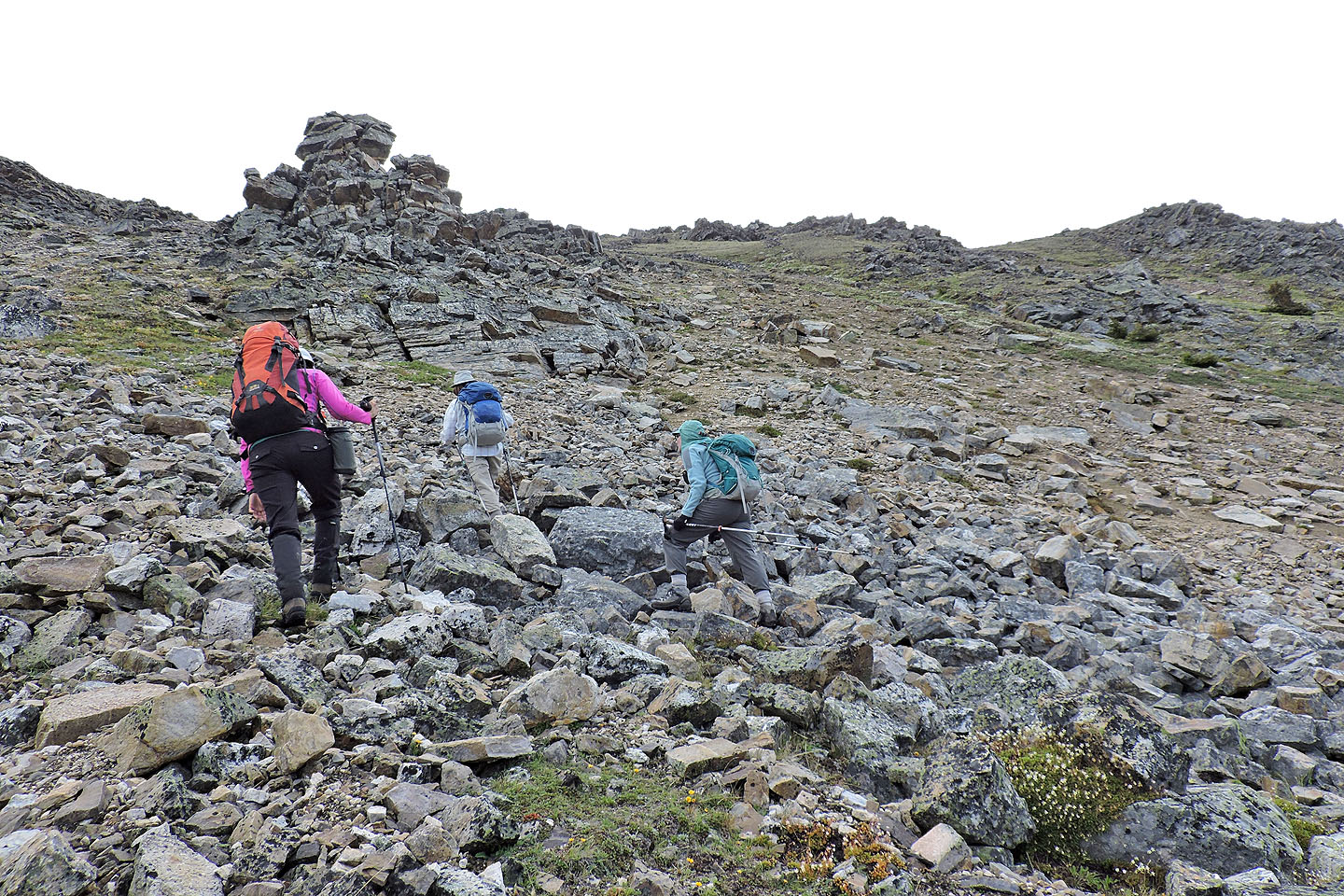
After hiking about a kilometre up the side trail, we left it
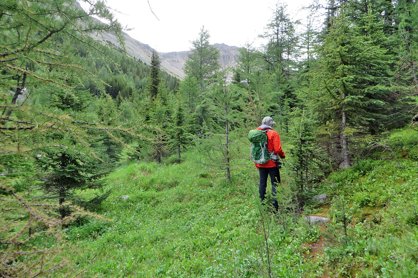
We headed to our ascent slope
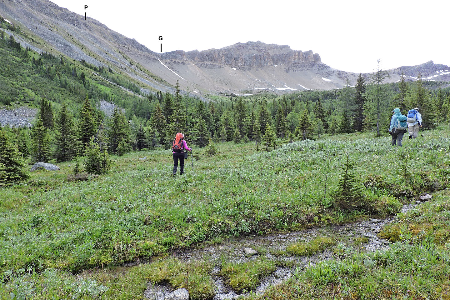
Crossing a bog. We ascended the slope below the pinnacle and descended the lowest gully.
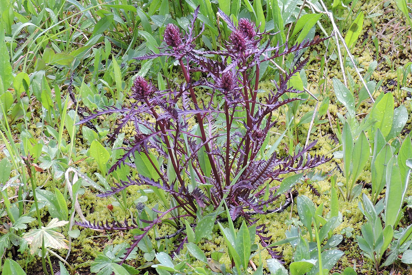
Purple plant in the bog
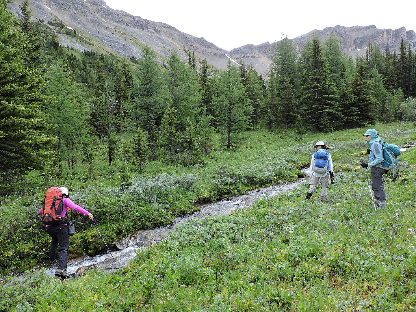
Kari steps across the stream that runs down the valley
After the stream, we made our way to the bottom of the ascent slope
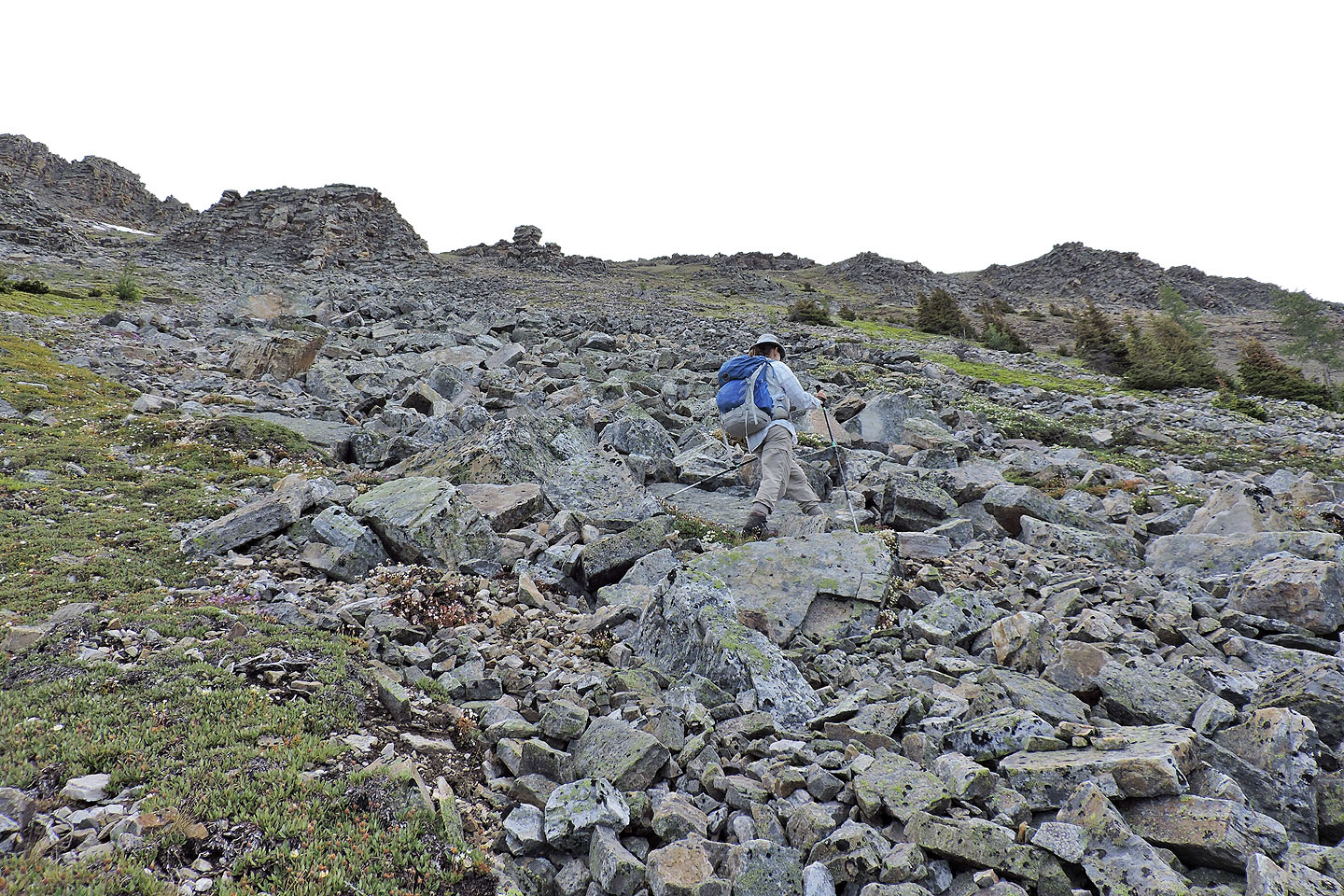
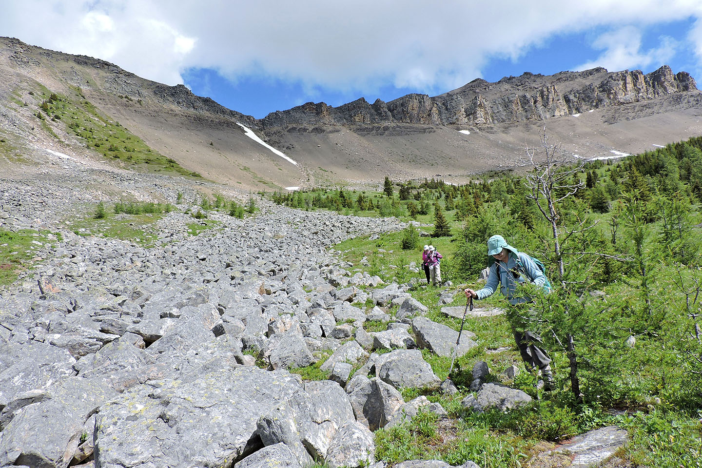
We crossed a band of talus
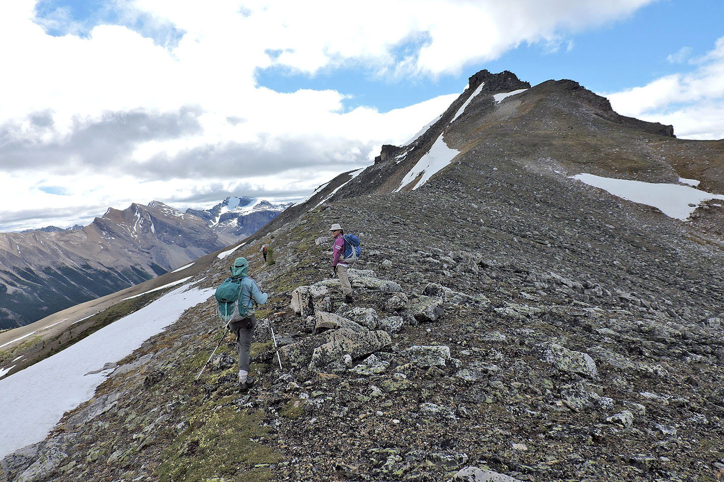
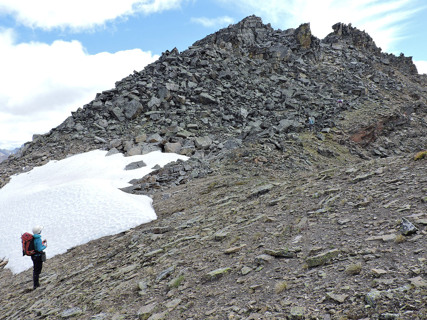
When we could, we ascended vegetated swaths. The pinnacle appears on the skyline right.
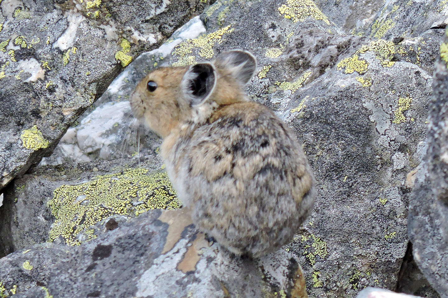
The first of two pikas that we saw
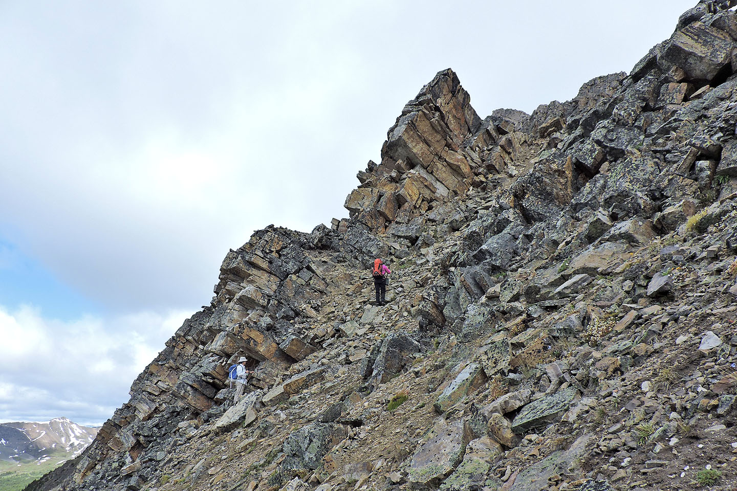
We slowly drew closer to the pinnacle
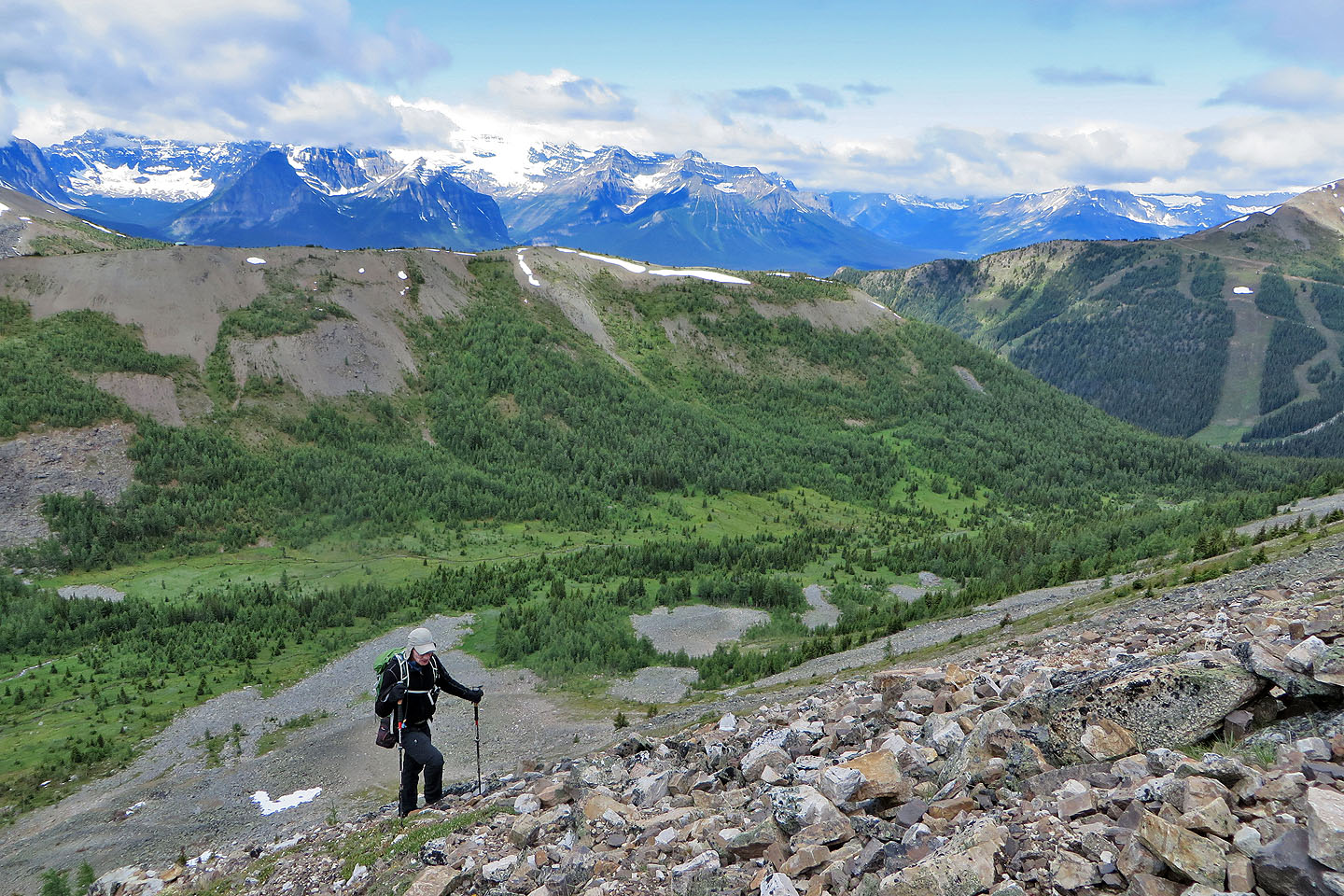
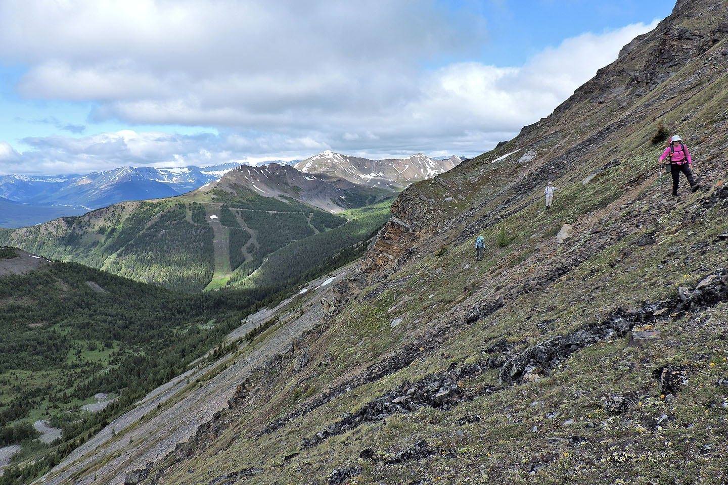
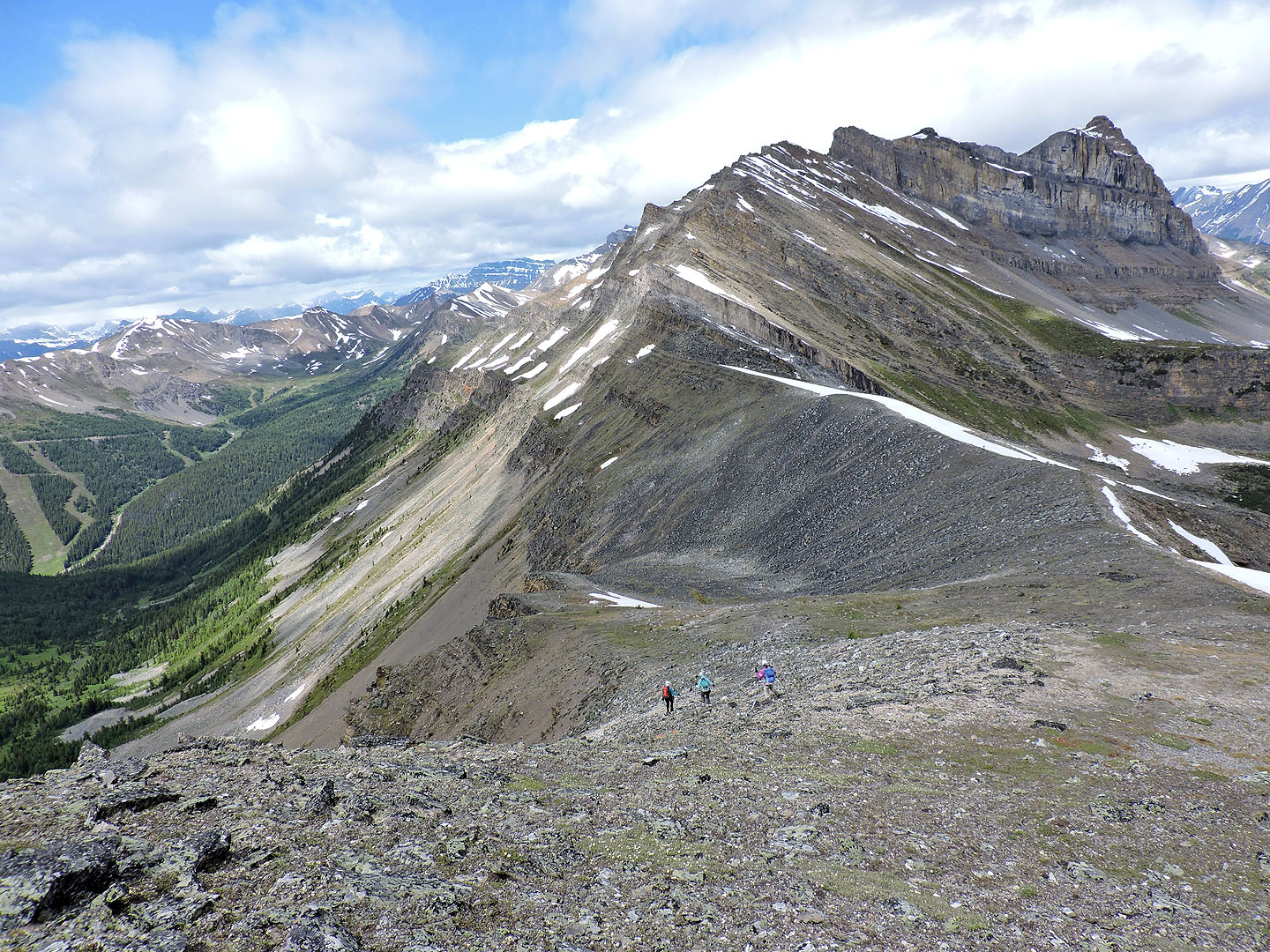
We're high above the valley now. Behind is Wolverine Ridge.
Unity Peak looks close now
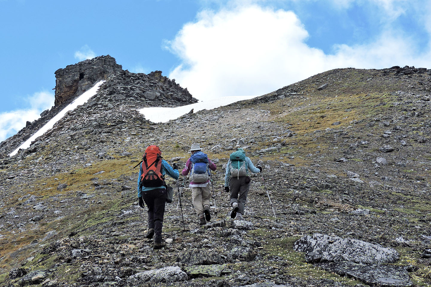
Almost at the pinnacle. Kari and Zora went around it on the left, while Dinah and I went right.
Zora and Kari keep left of the pinnacle but another pinnacle looms above them
Above the pinnacle, we angled right
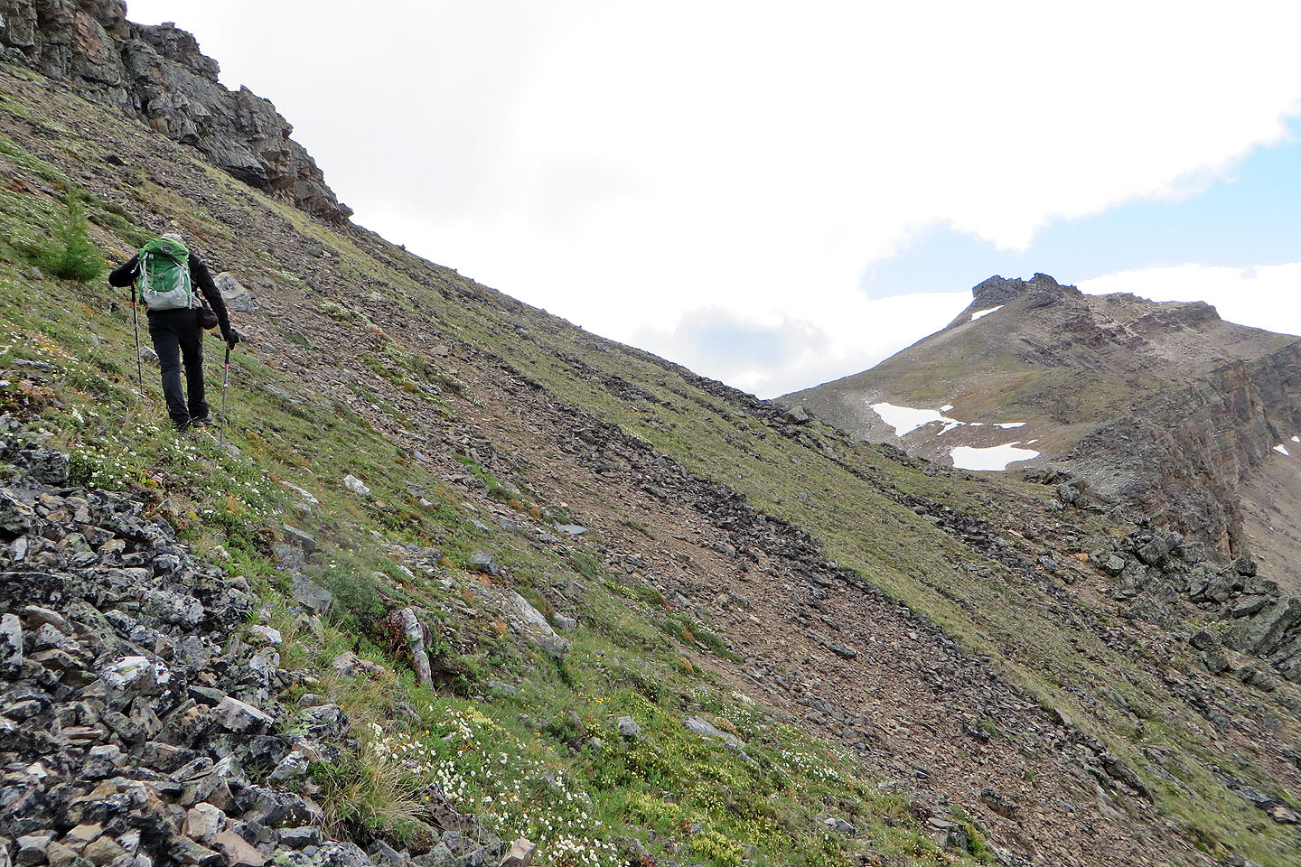
We continued across meadows to the unseen col
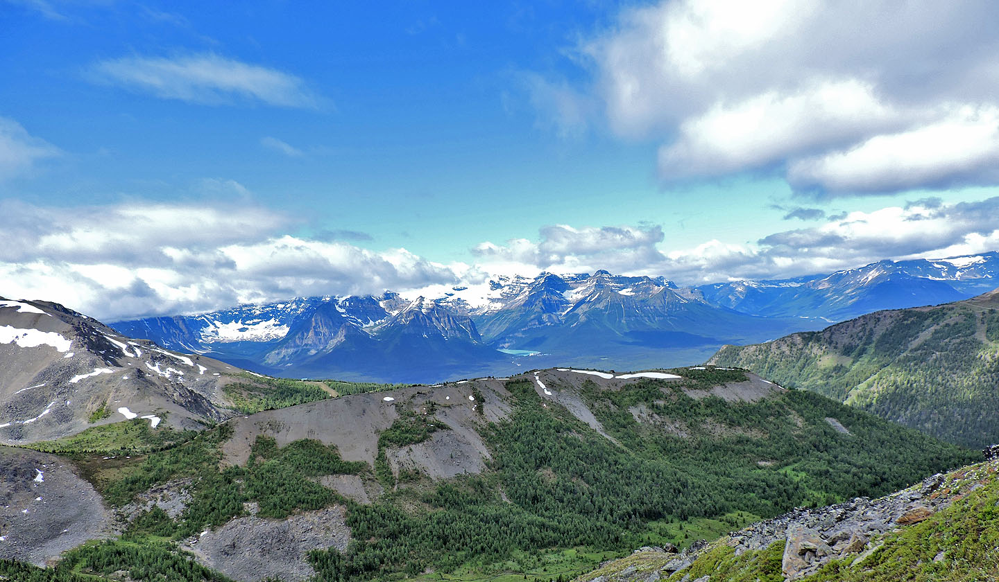
Looking back at Lake Louise
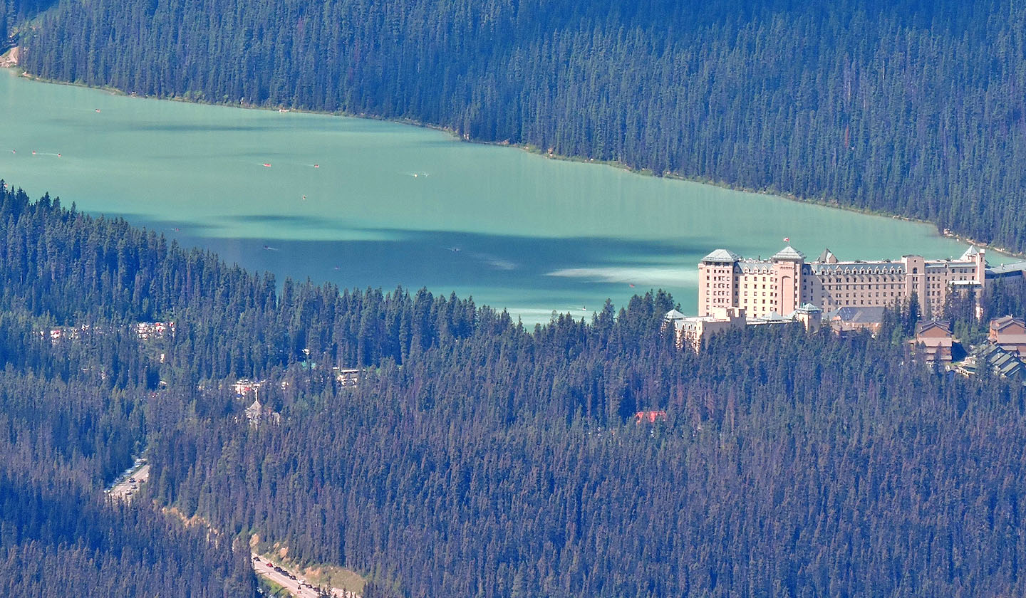
A line of cars appears to be headed to a full parking lot
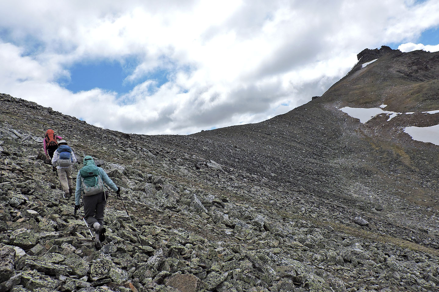
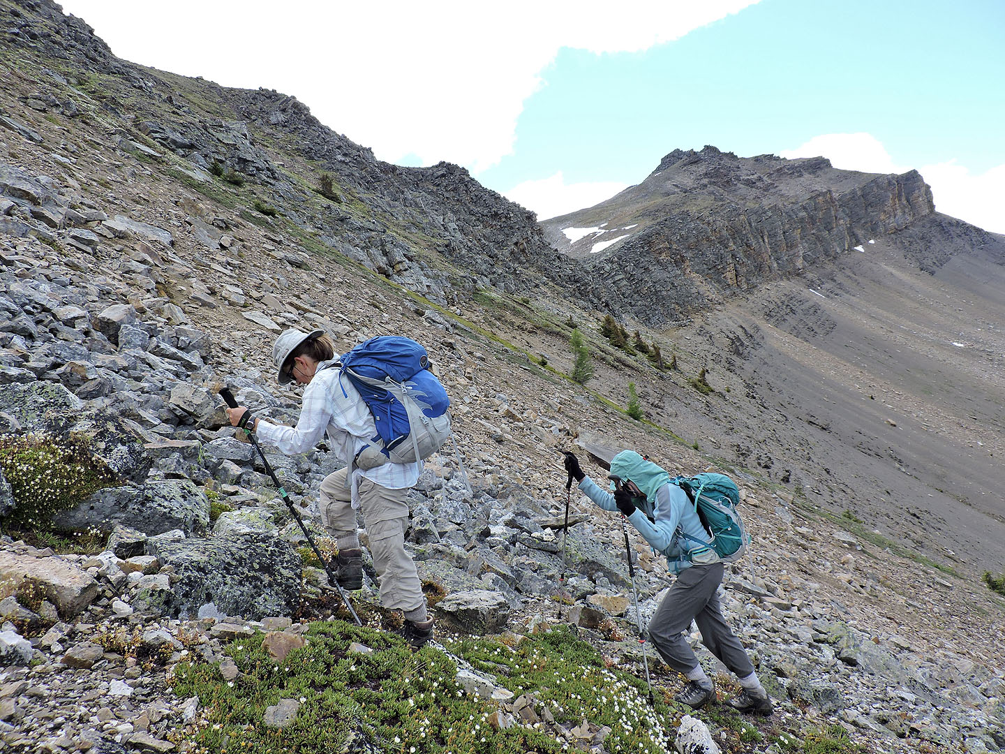
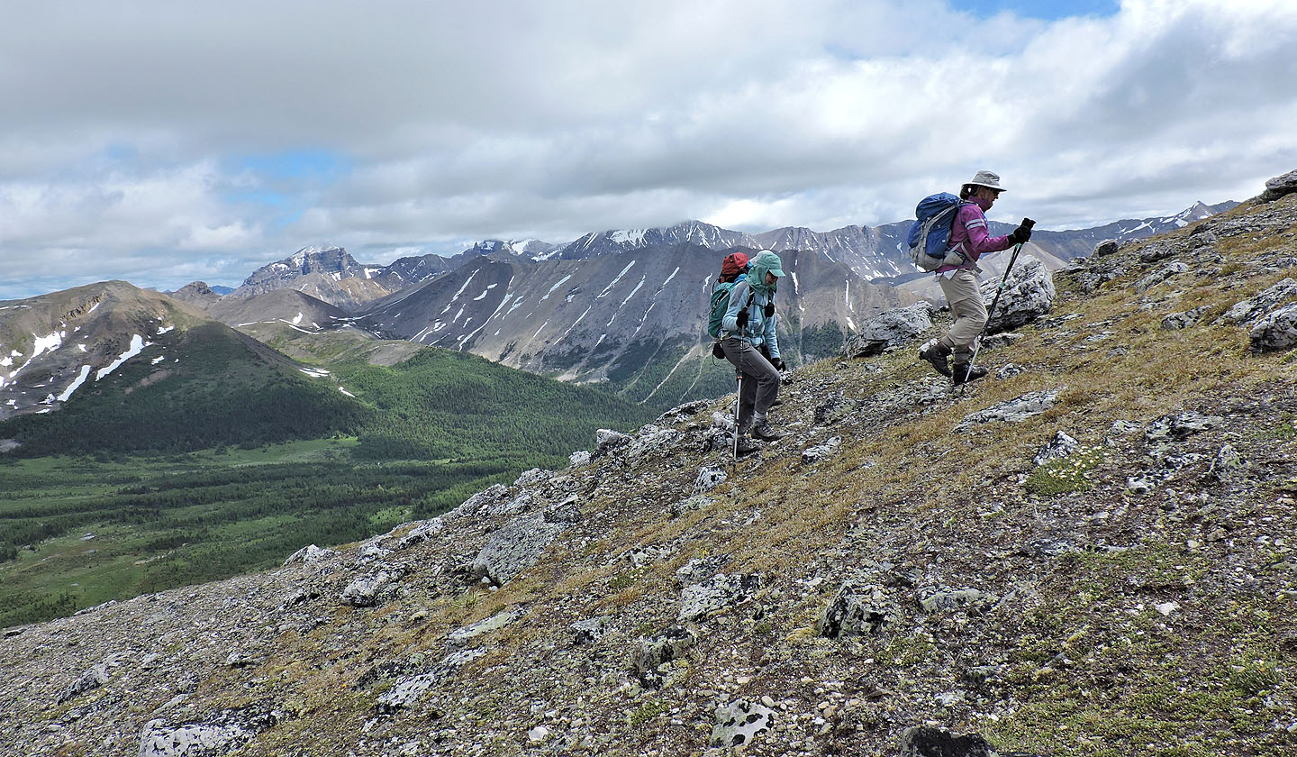
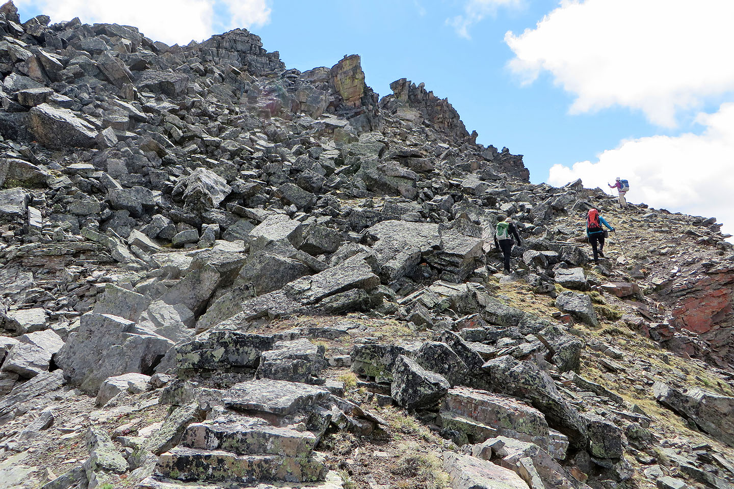
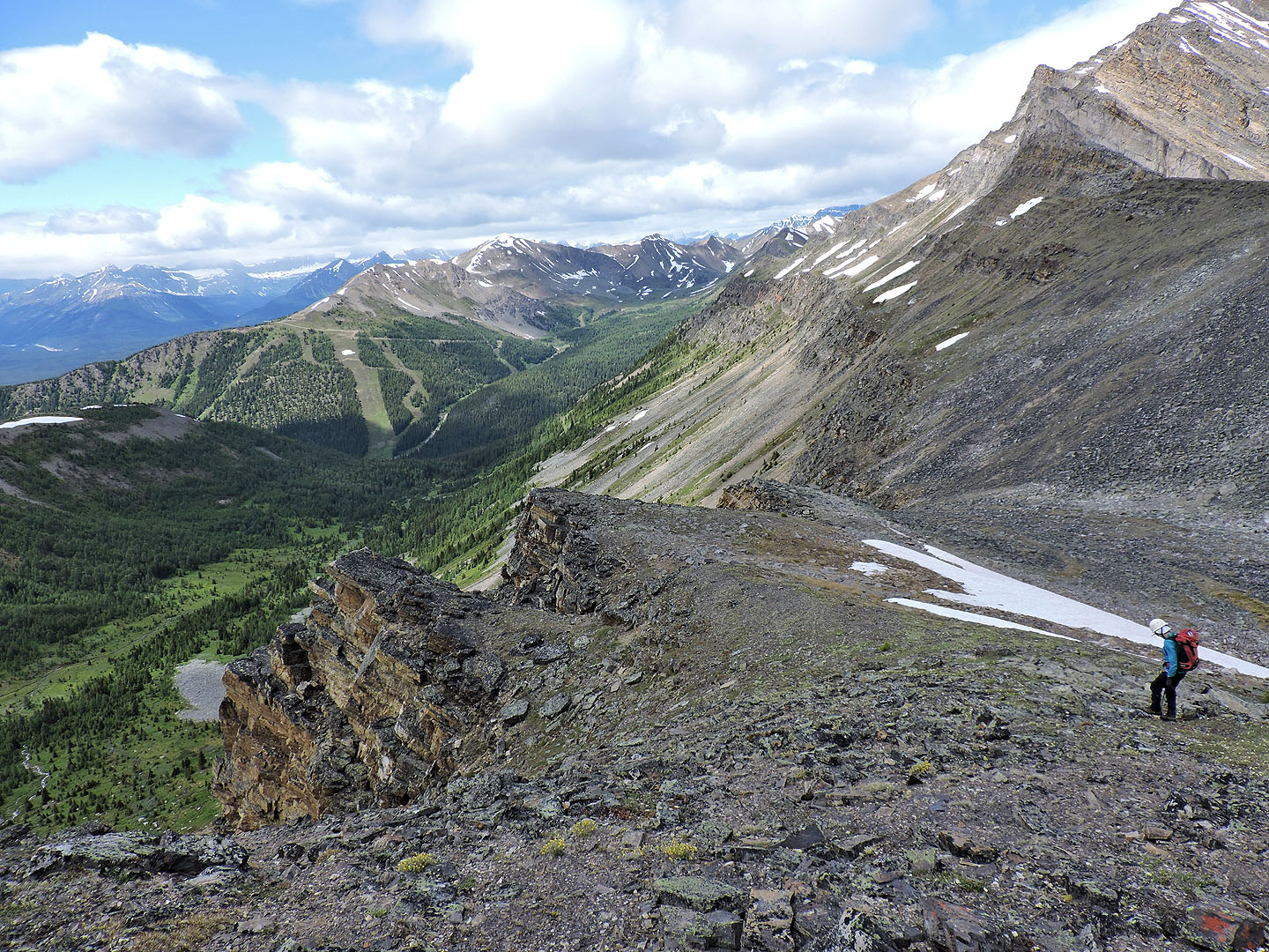
Hiking talus slopes to Redoubt-Unity col
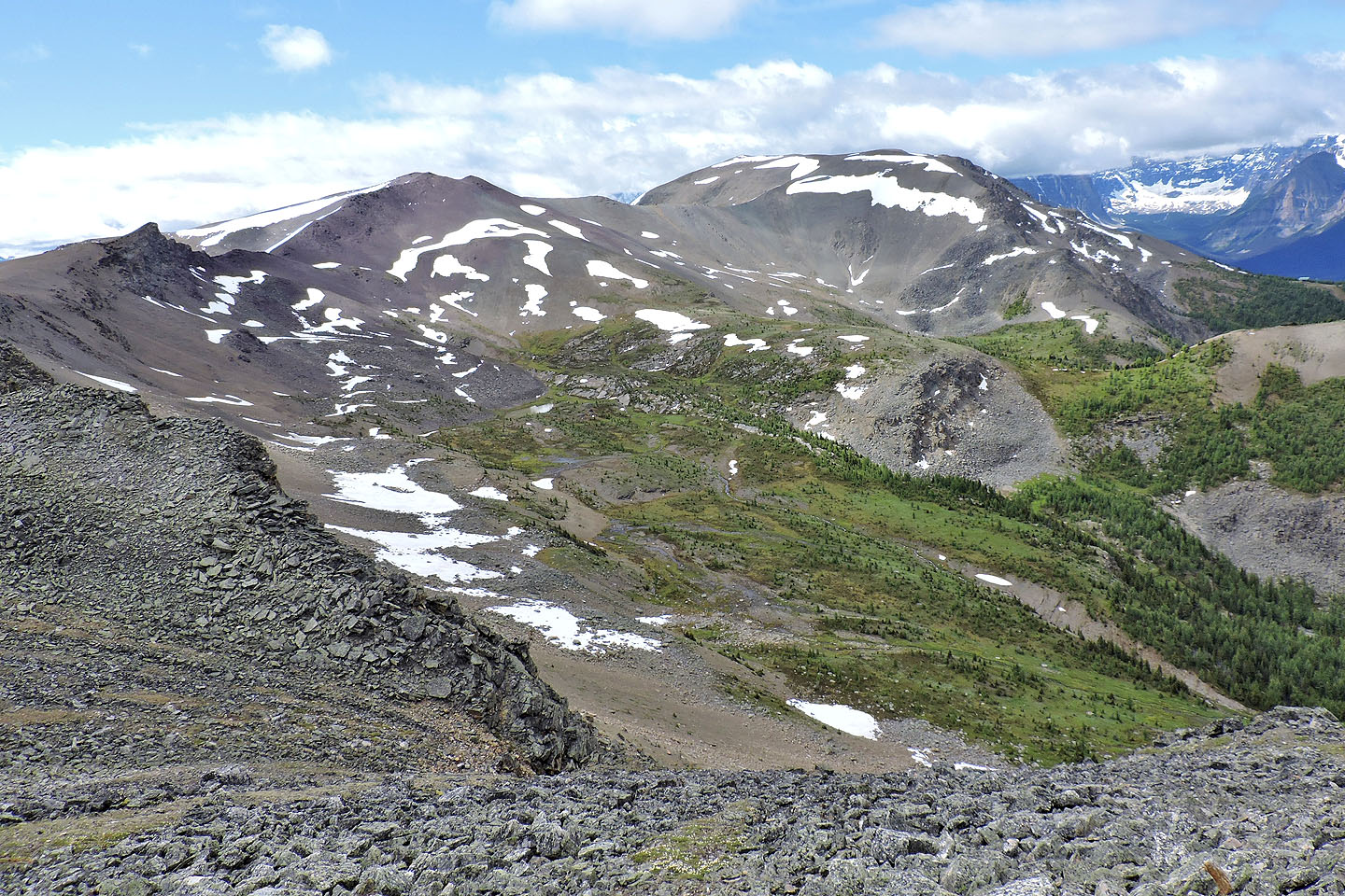
Purple Mound and Mount Lipalian
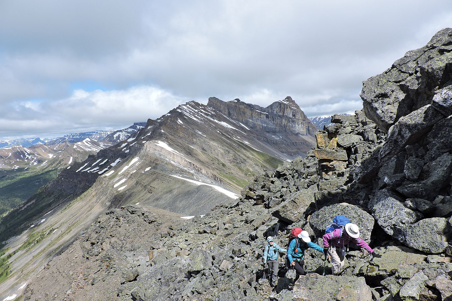
Striking out for Unity Peak from the col
Almost at the base of the summit block
Behind Dinah, Anthozoan Mountain connects to Brachiopod Mountain
 Redoubt Mountain and Redoubt Lake in the background
Starting up the summit block
Navigating through the boulders
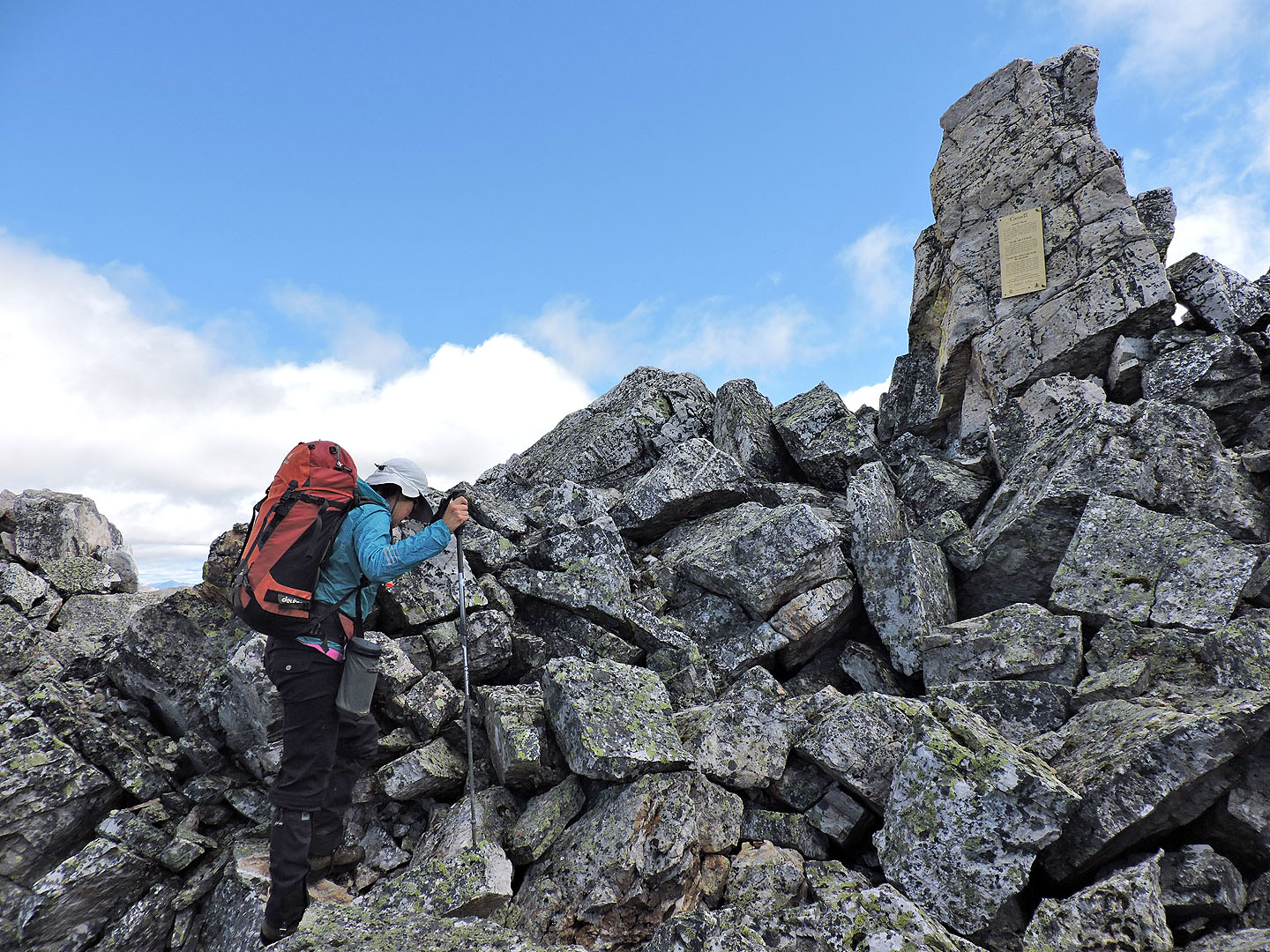
Kari climbs up to read the plaque (mouse over to see it)
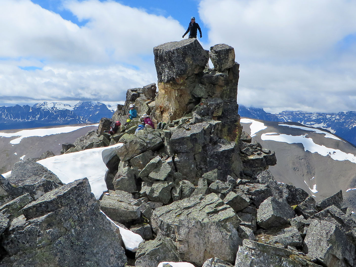
Standing on the summit
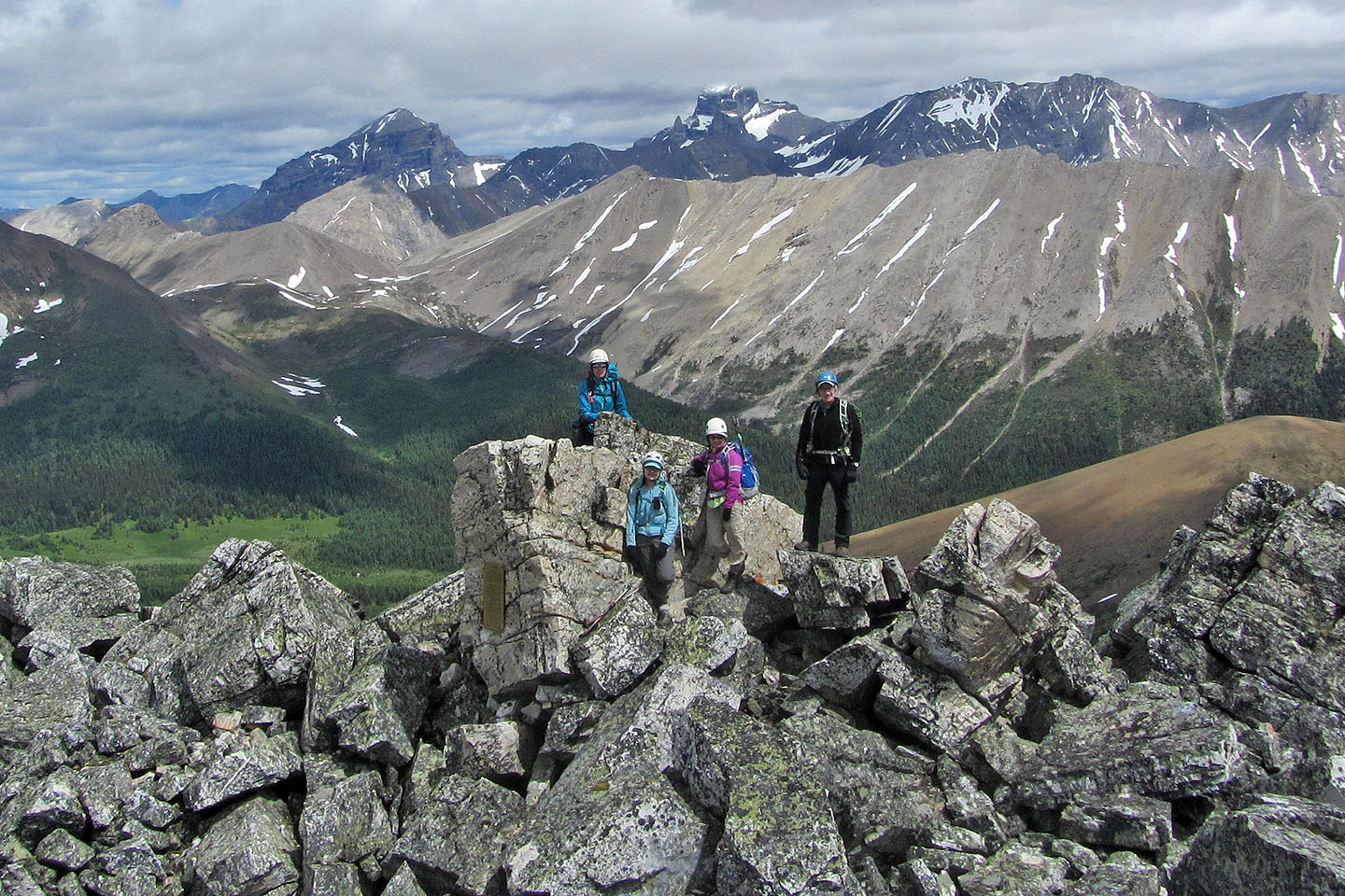
We gathered by the plaque for a group shot
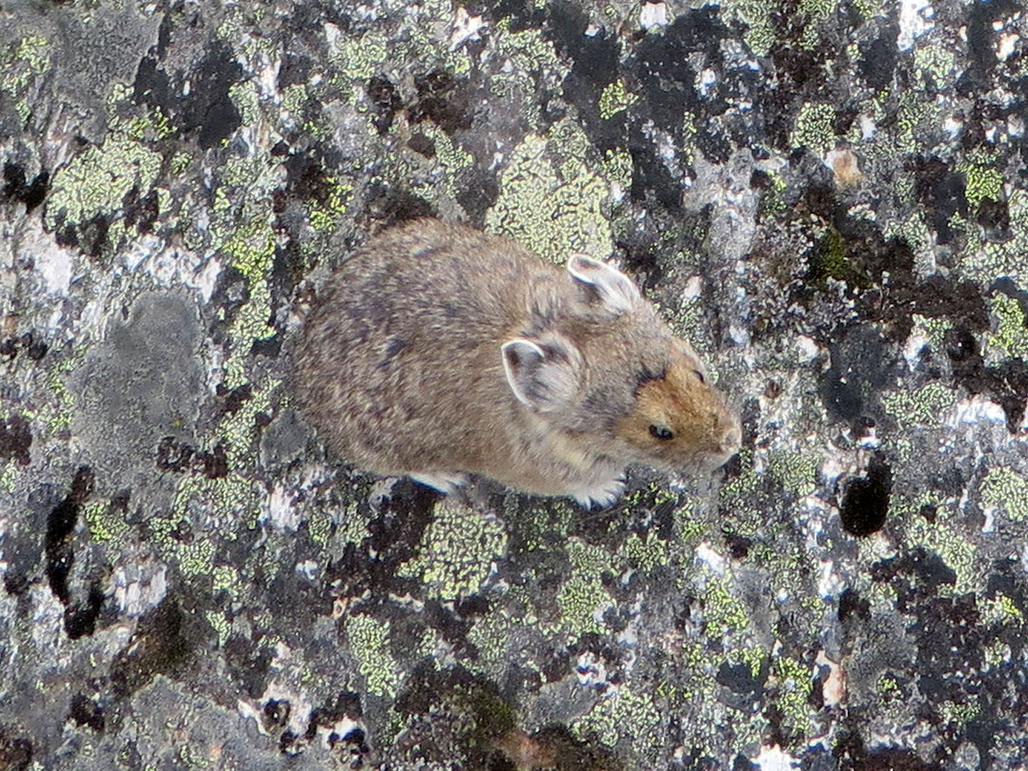
Dinah took a photo of this pika next her. It tried to steal her glove.
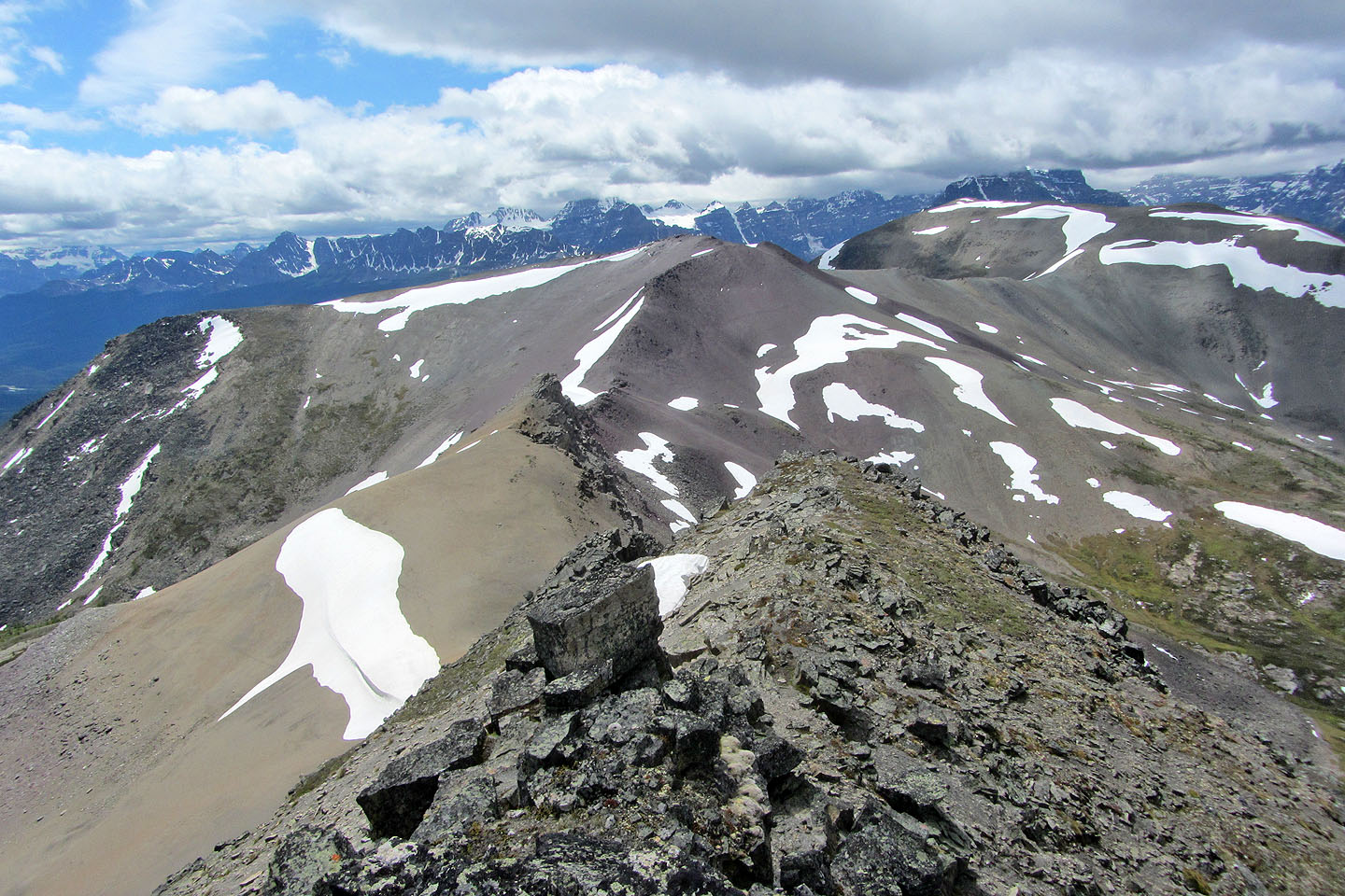
Kari and I climbed down the south ridge a short way before I took this photo of Purple Mound
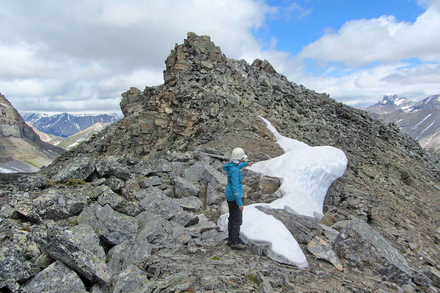
On the way back to the summit, Kari points to a cornice
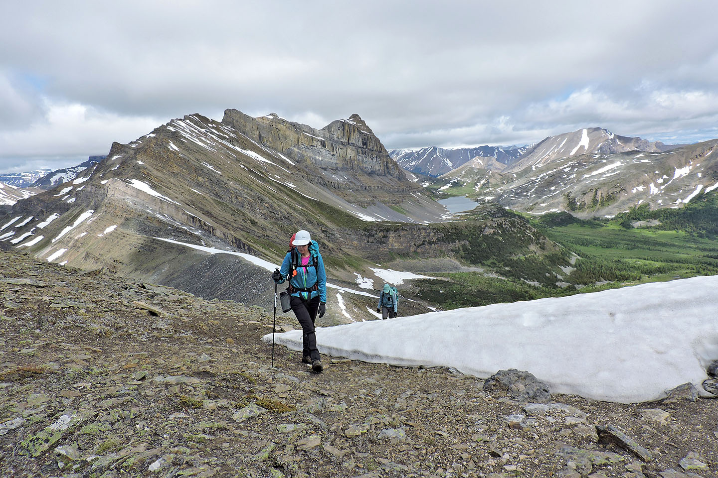
Looking back as Dinah and Zora descended. Summit is right.
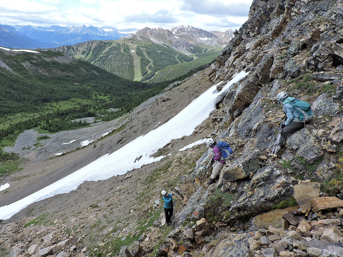
Heading down to the descent gully
After passing one gully, these four were ahead. We descended the last one.
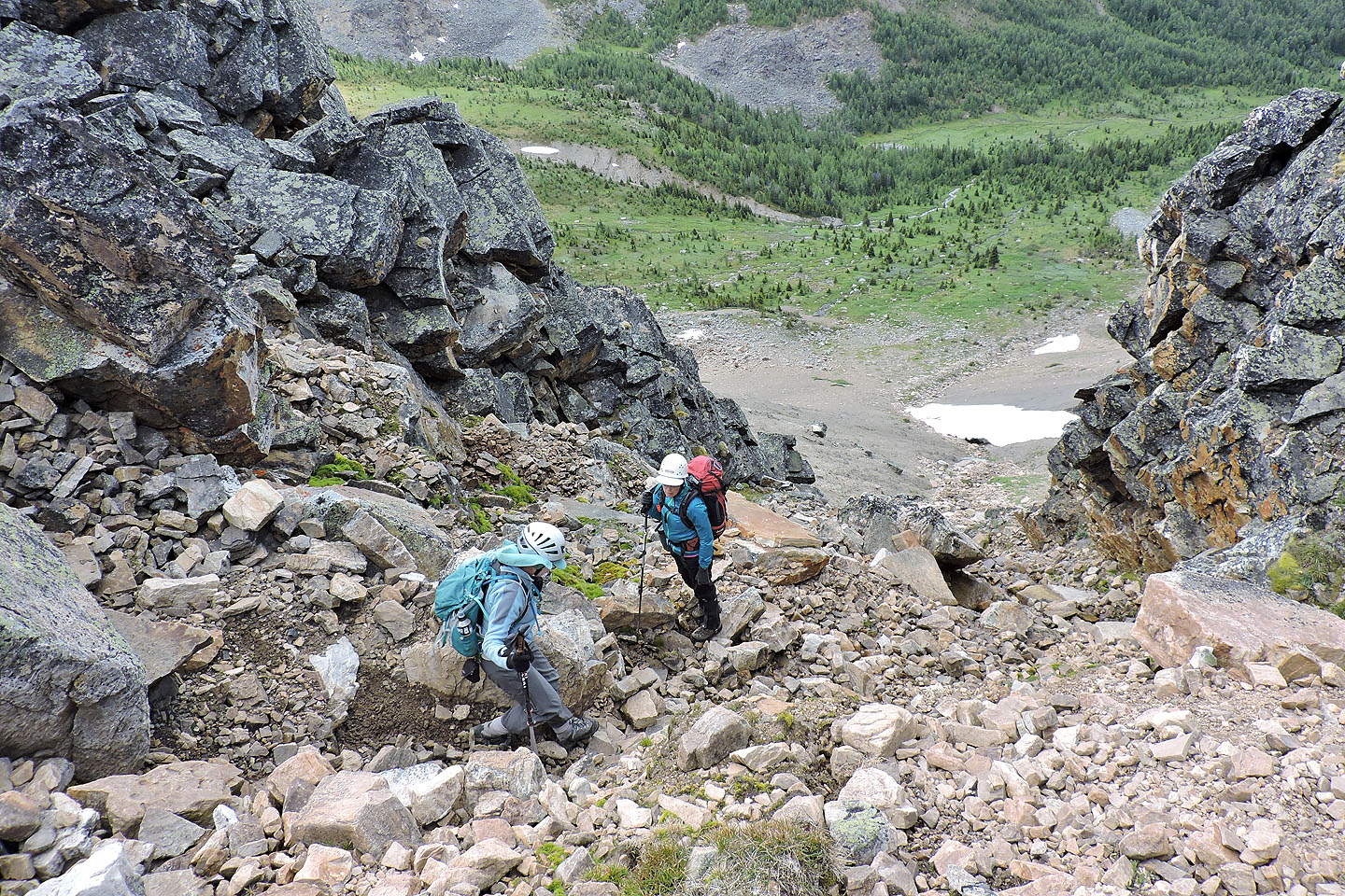
Starting down the gully
We had some trouble getting down steep rock
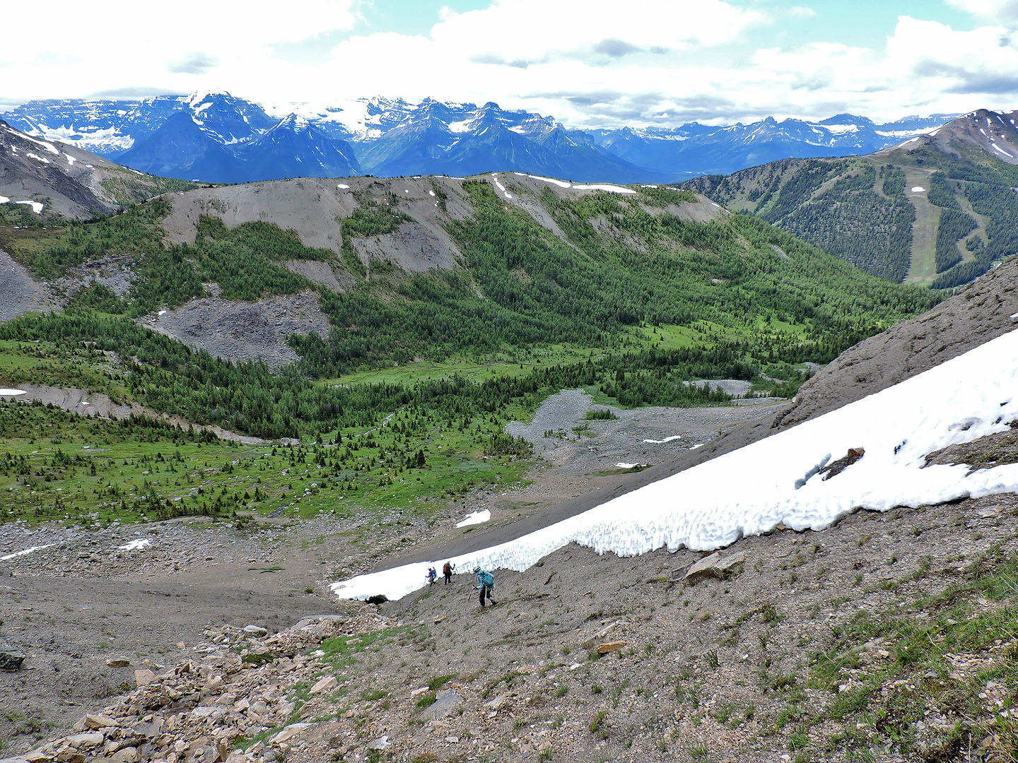
Below the rock we found fast scree
We left tracks in the soft scree
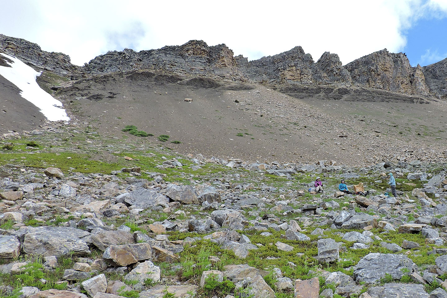
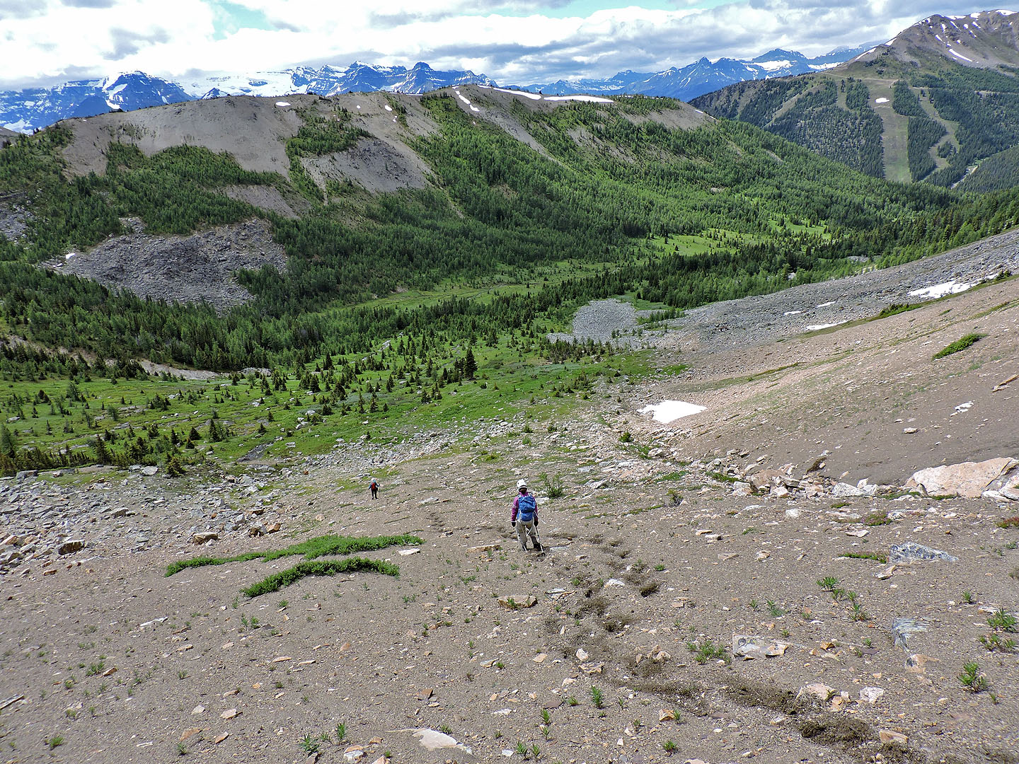
Taking a break at the bottom. Our descent gully is left.
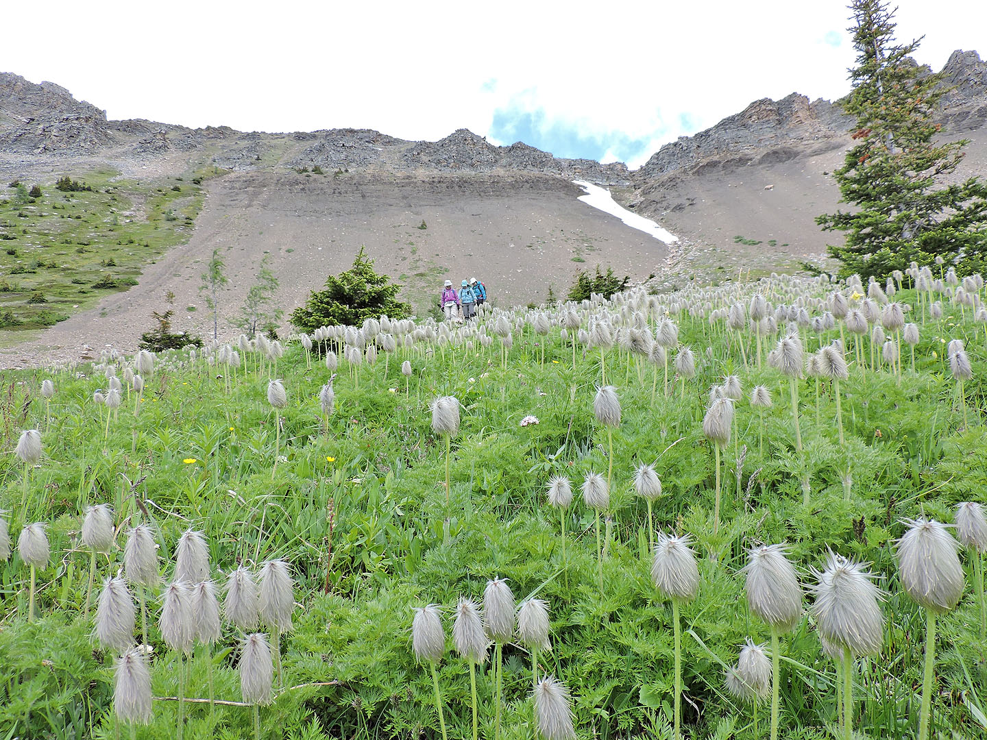
Coming down through a meadow of western anemones
Heading back
 82 N/8 Lake Louise