bobspirko.ca | Home | Canada Trips | US Trips | Hiking | Snowshoeing | MAP | About
Ptarmigan Peak
Skoki, Banff National Park, Alberta
October 8, 2006
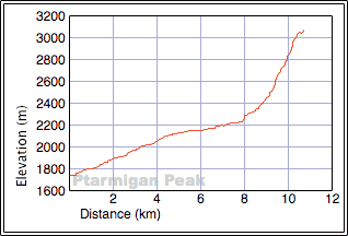
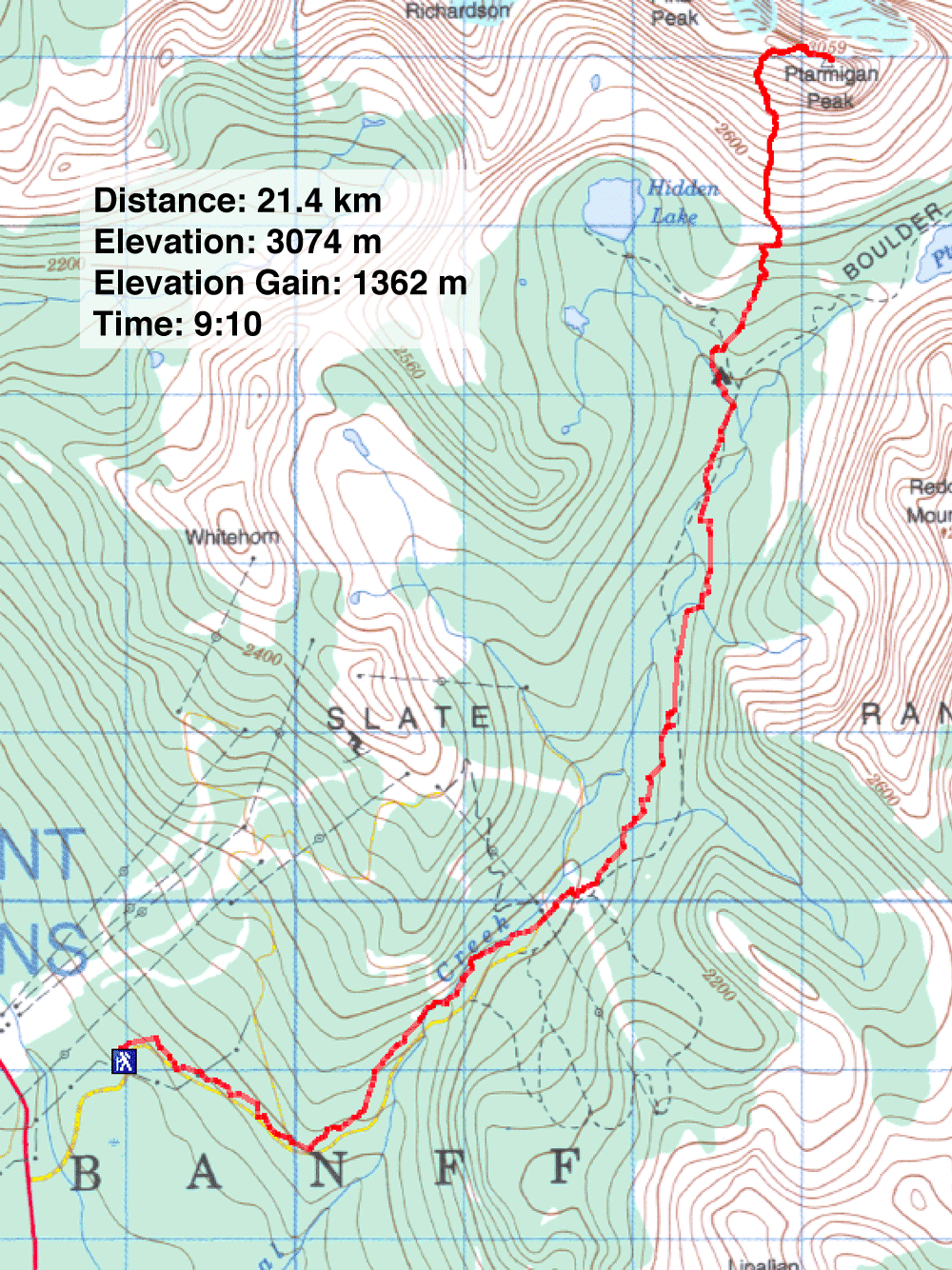
Distance: 21.4 km (13.3 mi)
Cumulative Elevation Gain: 1370 m (4495 ft)
Dinah and I didn't stay overnight at Hidden Lake like the Scrambles guidebook suggests but bagged Ptarmigan Peak as a one-day trip. And instead of ascending from Hidden Lake, we gained the lower slopes more directly.
We walked up Temple Road and continued up the trail that leads to the turnoff to Hidden Lake. We started up Hidden Lake trail and looked for a side trail or a break in the trees. But after hiking a few hundred metres, we didn't spot anything. So we backtracked almost to the campground where Dinah had noticed an odd break in the trees, 5-10 minutes from the Hidden Lake junction.
It looked like a cutline, yet it wasn't straight. There was no trail, but we passed easily through the trees up the steep slope. When the terrain levelled off, the cutline ended abruptly. However, the trees were thinner here, and the grade leading to the lower slopes of Ptarmigan Peak gentle. In a short time, we were next to the drainage that leads to the ascent route.
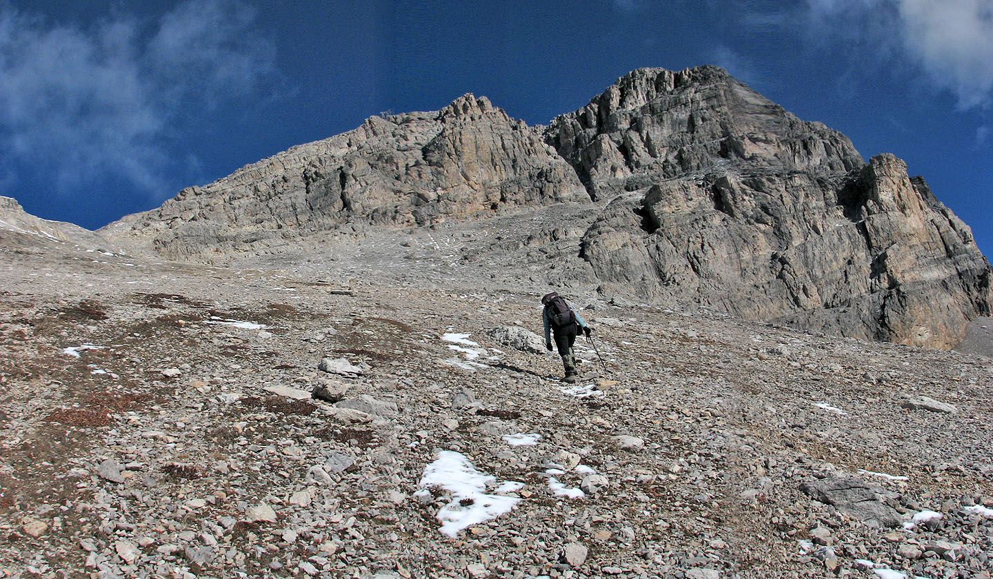
From here we plodded up the slope. When we hit scree, we kept well left of the drainage and stumbled upon a trail likely from Hidden Lake. The trail leads to the ridge and then turns right and goes up an unexpectedly steep slope.
We continued climbing until we gained the ridge. We were soon looking down at the exposed ridge just before the summit. Although there is a terrific drop on the left side, the wide, short ridge section is a walk. Beyond that, the ridge narrows and drops off so it's necessary to descend the right side. If it weren't for the snow, we would have dropped down a short, steep slope, but we took a couple more steps along the ridge and scrambled down a three-metre crack. We continued along the ridge to the slope leading to the summit five minutes away.
Well, if we had brought crampons it would have taken five minutes. Here, the slope was steep and the snow too hard to kick in. Using my ice axe, I hacked steps into the crusty snow until the grade eased so we could hike up the last few dozen metres.
Judging by the forecast, I had expected to summit in cloud, but we were greeted with a blue sky. The air was crystal clear so we could pick out distant peaks easily. There was no wind, but it was cold, below freezing as it had been all day.
We spent half an hour on the summit taking in the gorgeous views before heading down. Retracing our steps, we quickly made our way back to the lower slopes. When we came to the drainage, however, we decided to leave it and take a break at some massive boulders that appeared out of place in the otherwise featureless landscape.
After a short break, we made our way to the cutline and were back on the trail. Just before reaching Temple Road, the temperature rose above freezing for the first time.
Except for a couple of minutes of scrambling just before the summit, Ptarmigan Peak is a hike. And if we had summited in clouds, I'm sure I would have little good to say about this trip. But after arriving on top, we forgot about the long approach and the scree slog as we took in the stunning views of Skoki Valley under blue skies.
KML and GPX Tracks
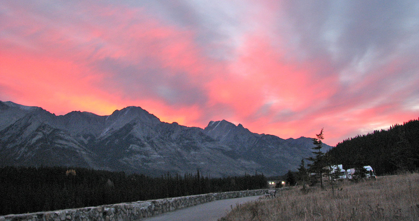
On the drive to the trailhead, we caught the sunrise
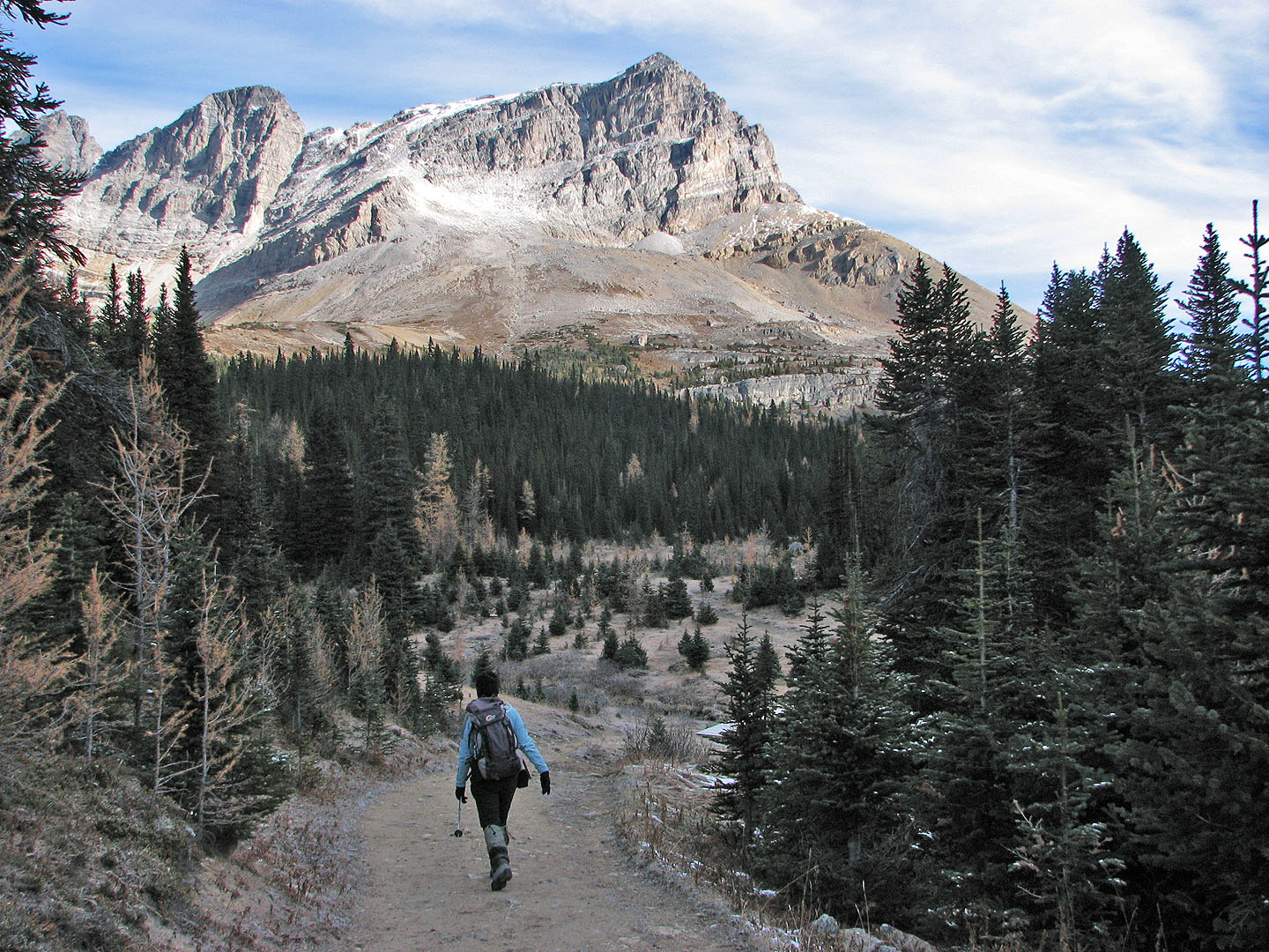
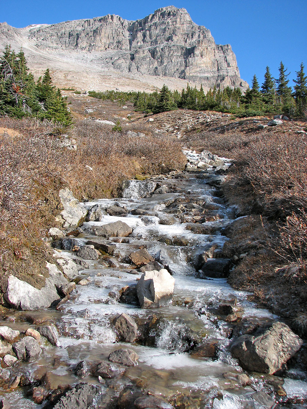
Ptarmigan Peak ahead
The turnoff to Hidden Lake is a couple minutes away from here
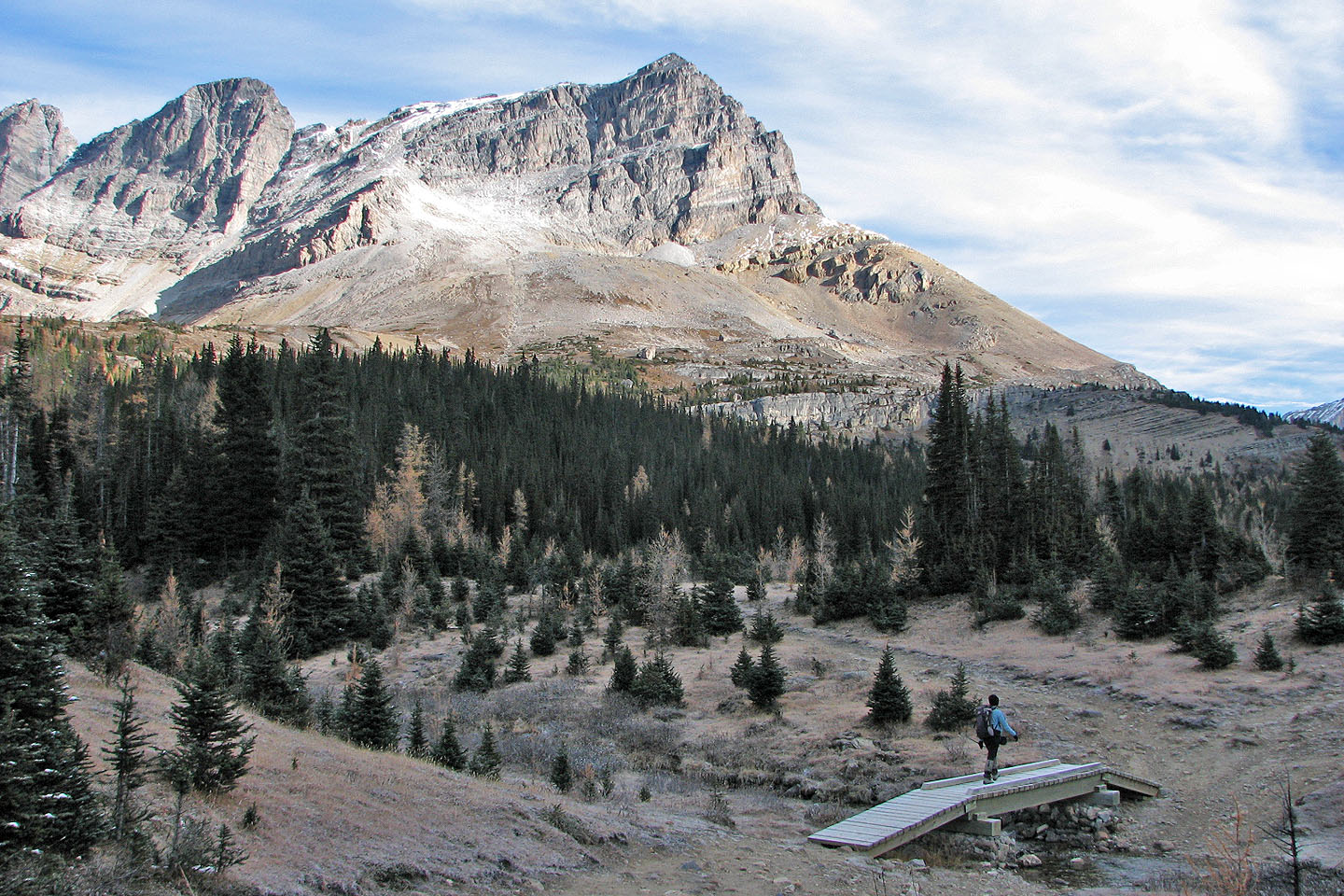
Ptarmigan Peak seen from the campground. The cutline is about 200 m up the trail.
The cutline (centre) seen from the trail
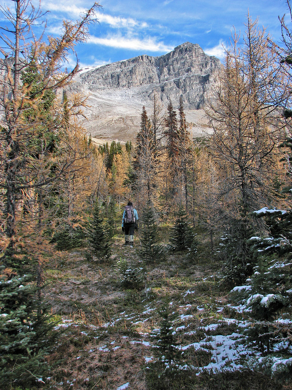
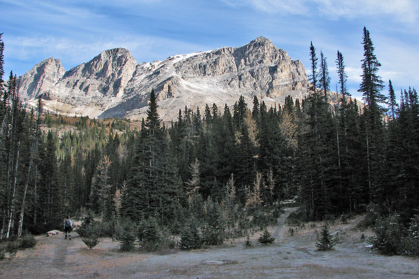
Ptarmigan Peak came into view soon after leaving the cutline
This drainage that leads to the lower slopes
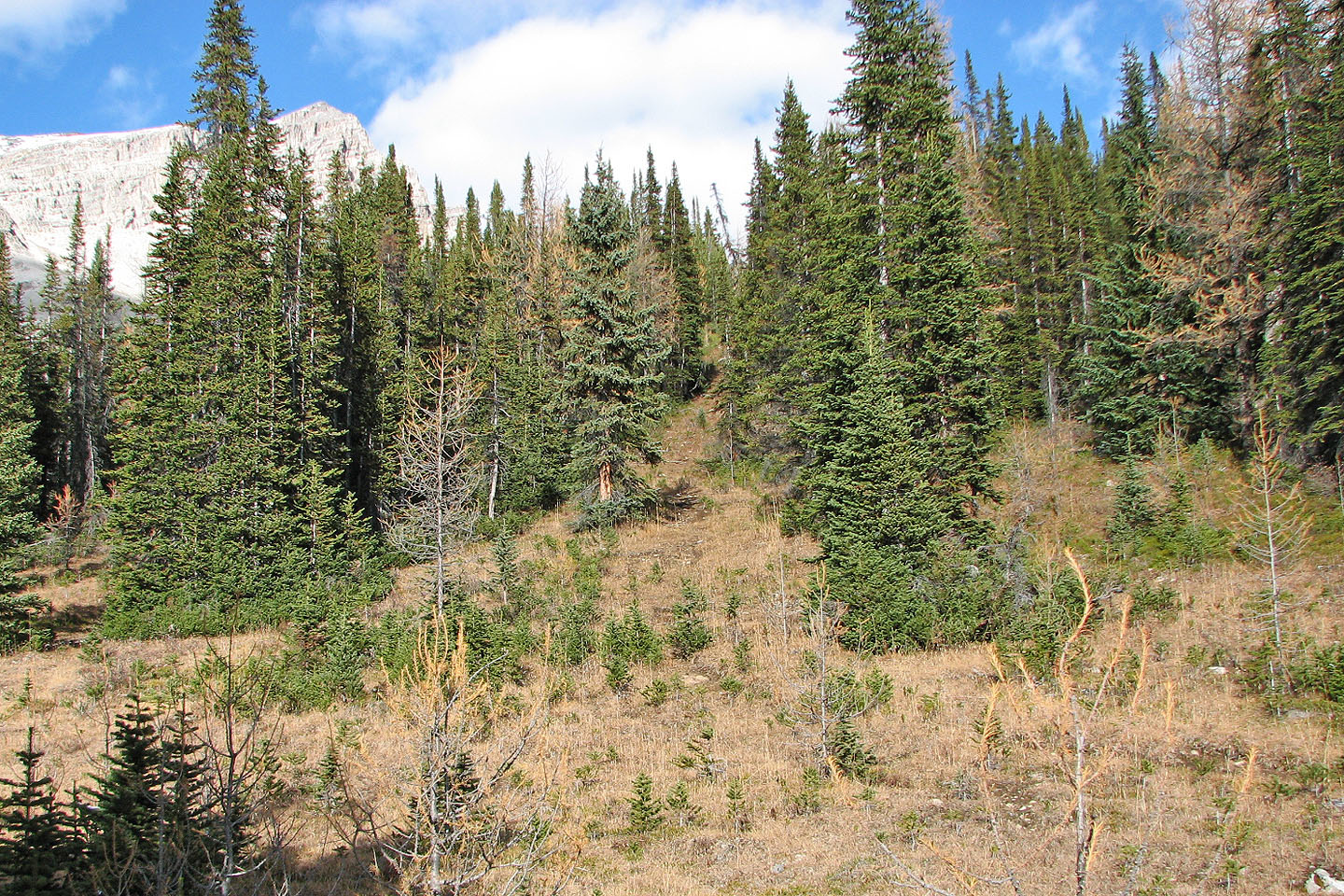
The cutline got us through most of the trees
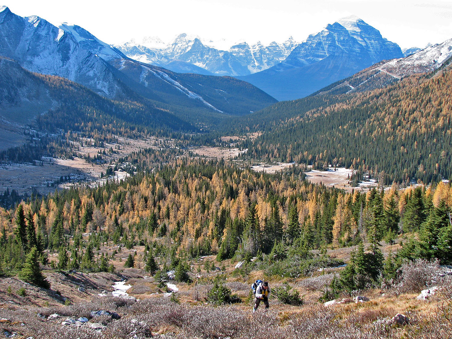
Looking back towards the valley where we came from. Mount Temple is in the centre.
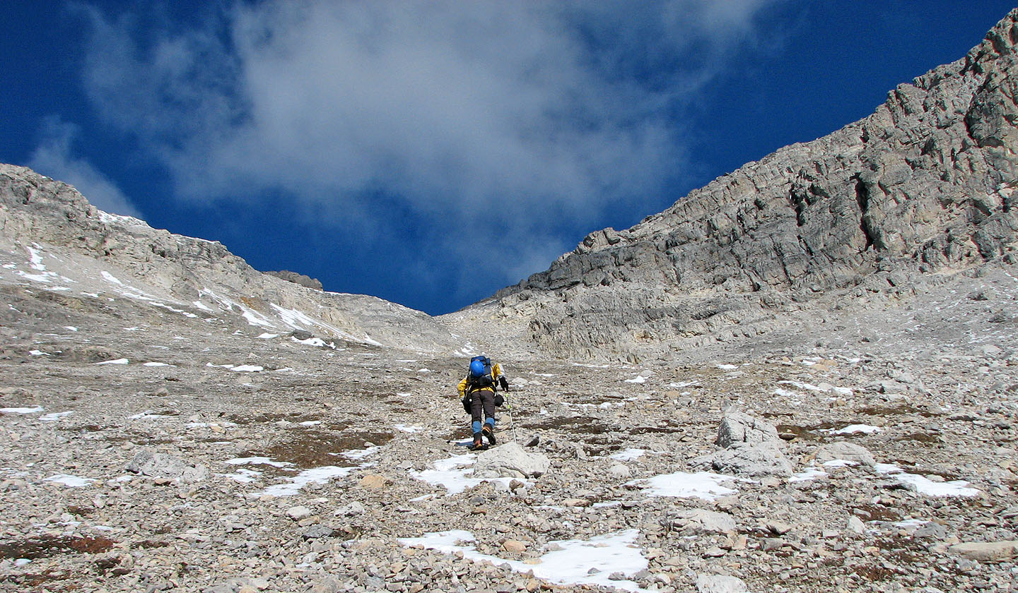
We headed for the dip in the ridge. In the scree above us we came across a trail.
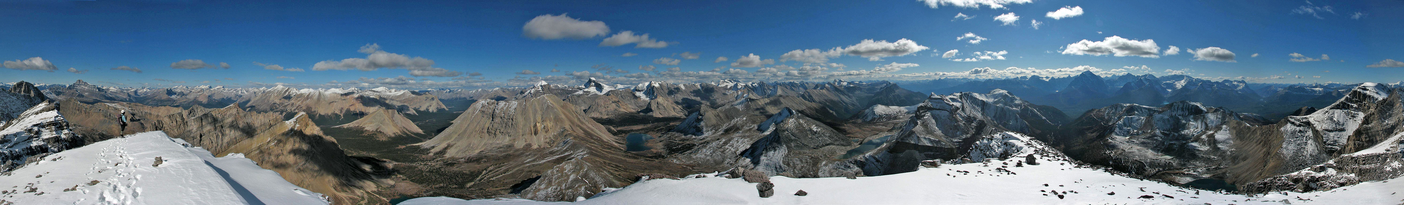
The summit is in the centre
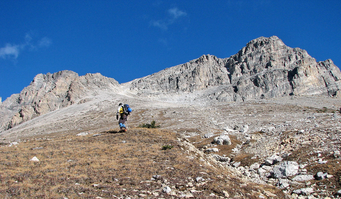
Endless plod to get to the ridge
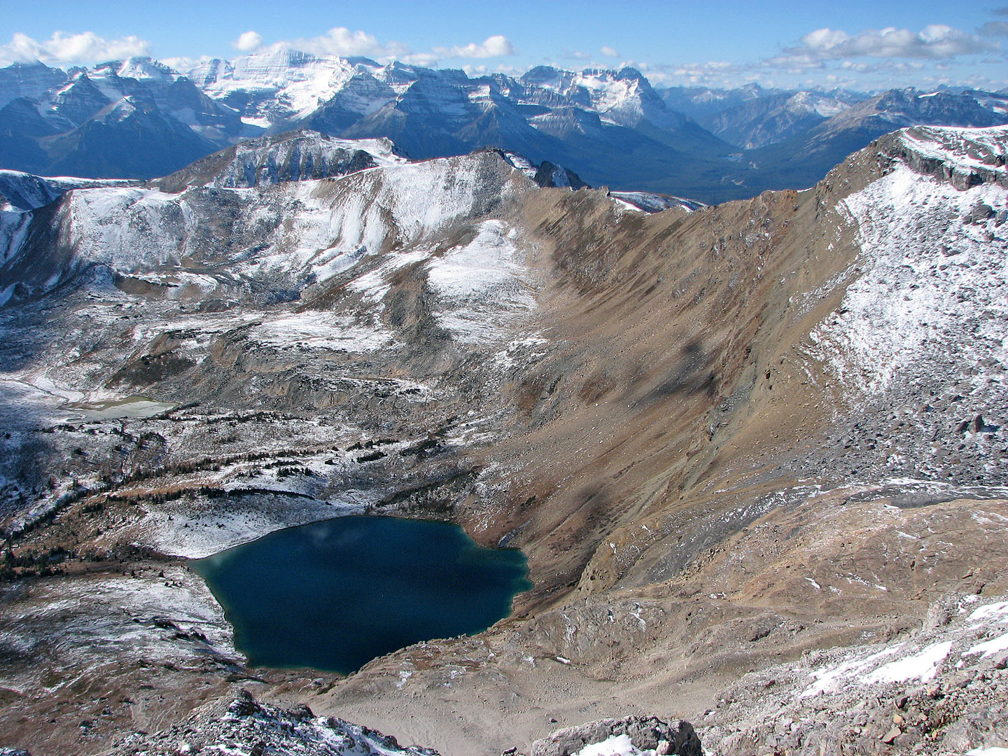
Hidden Lake
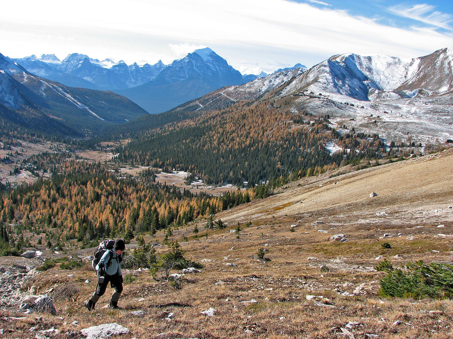
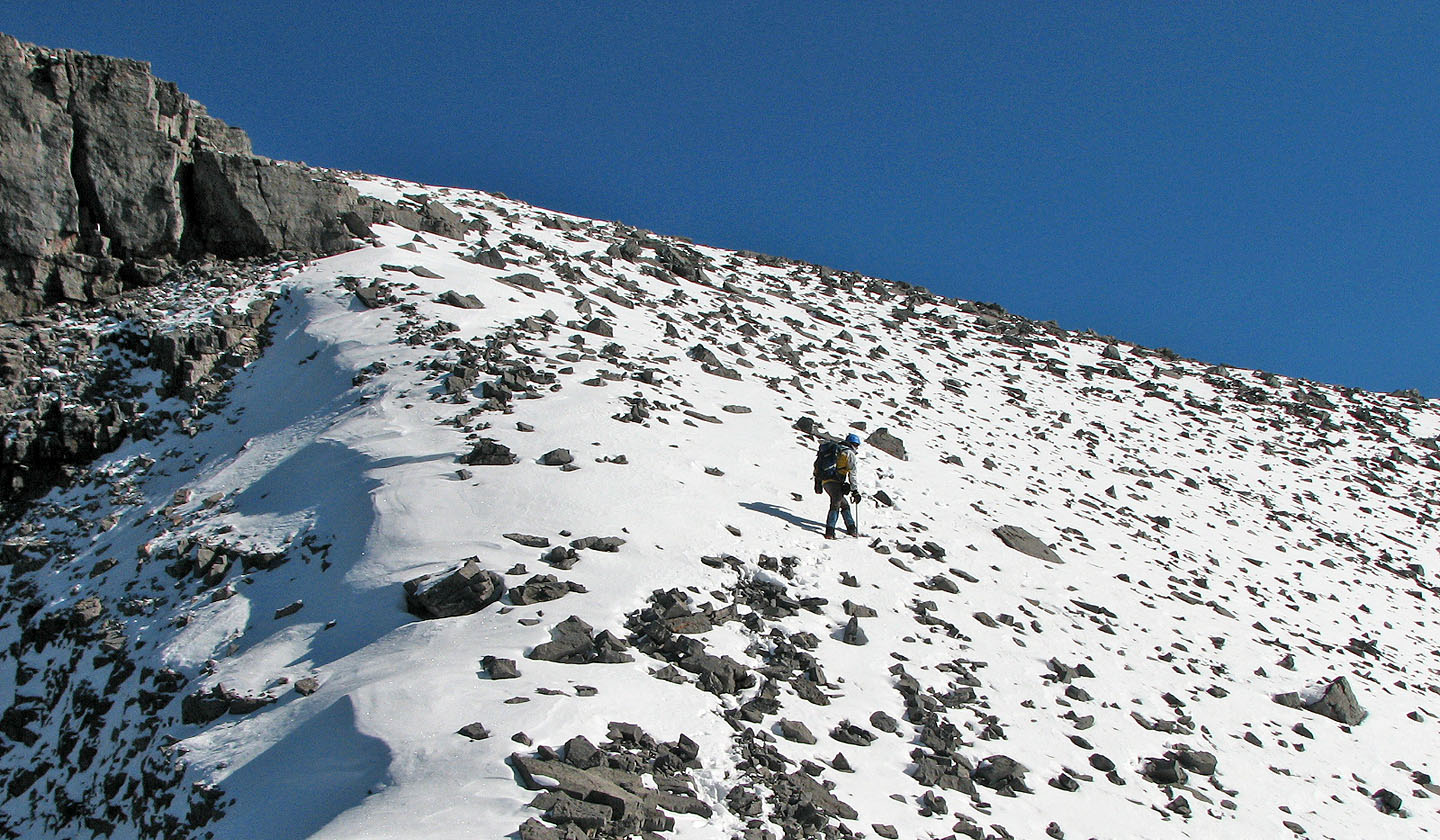
The grade steepened after we reached the ridge
On the ridge looking Looking west at Mount Richardson (far left)
and Pika Peak (centre)
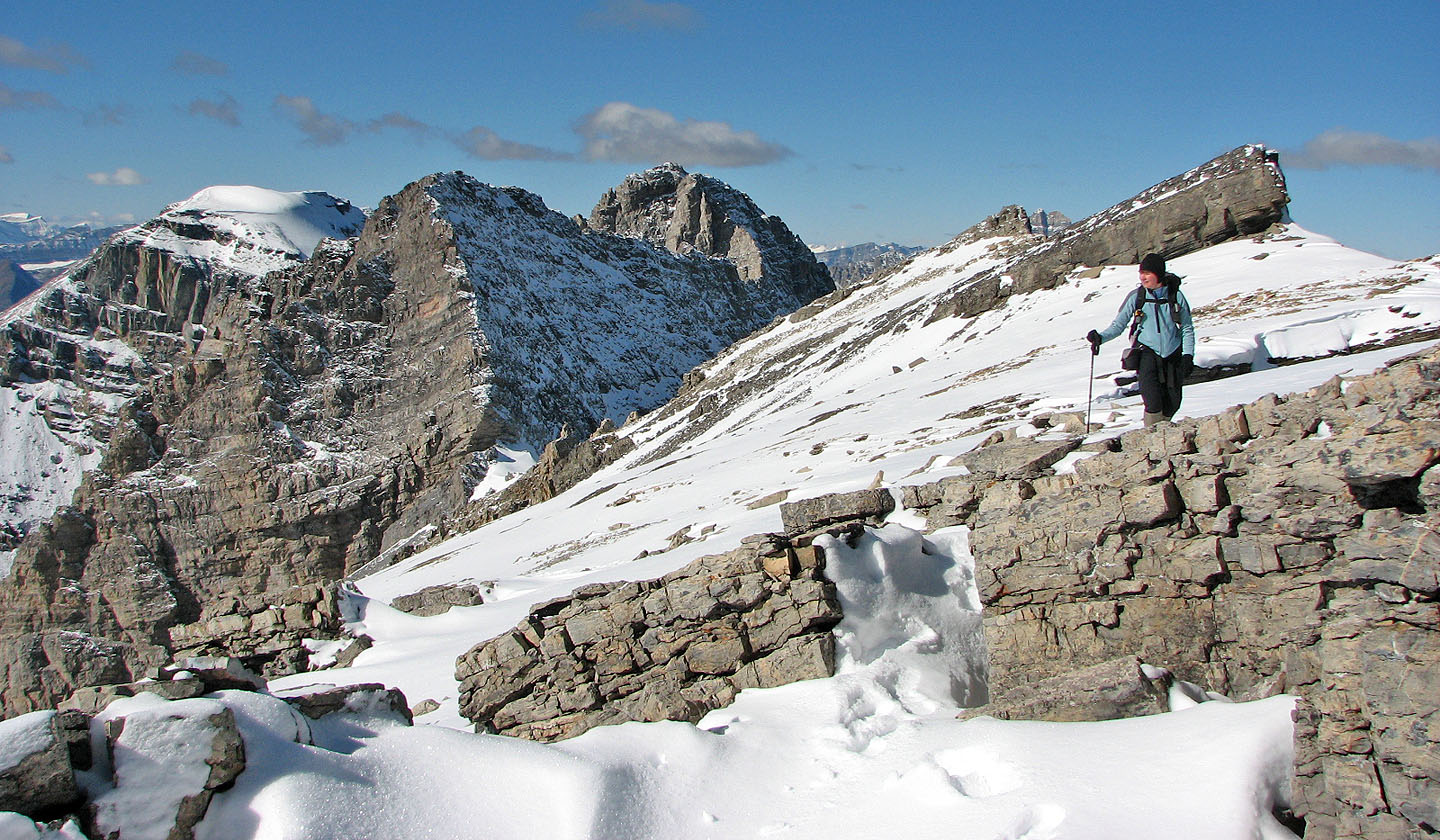
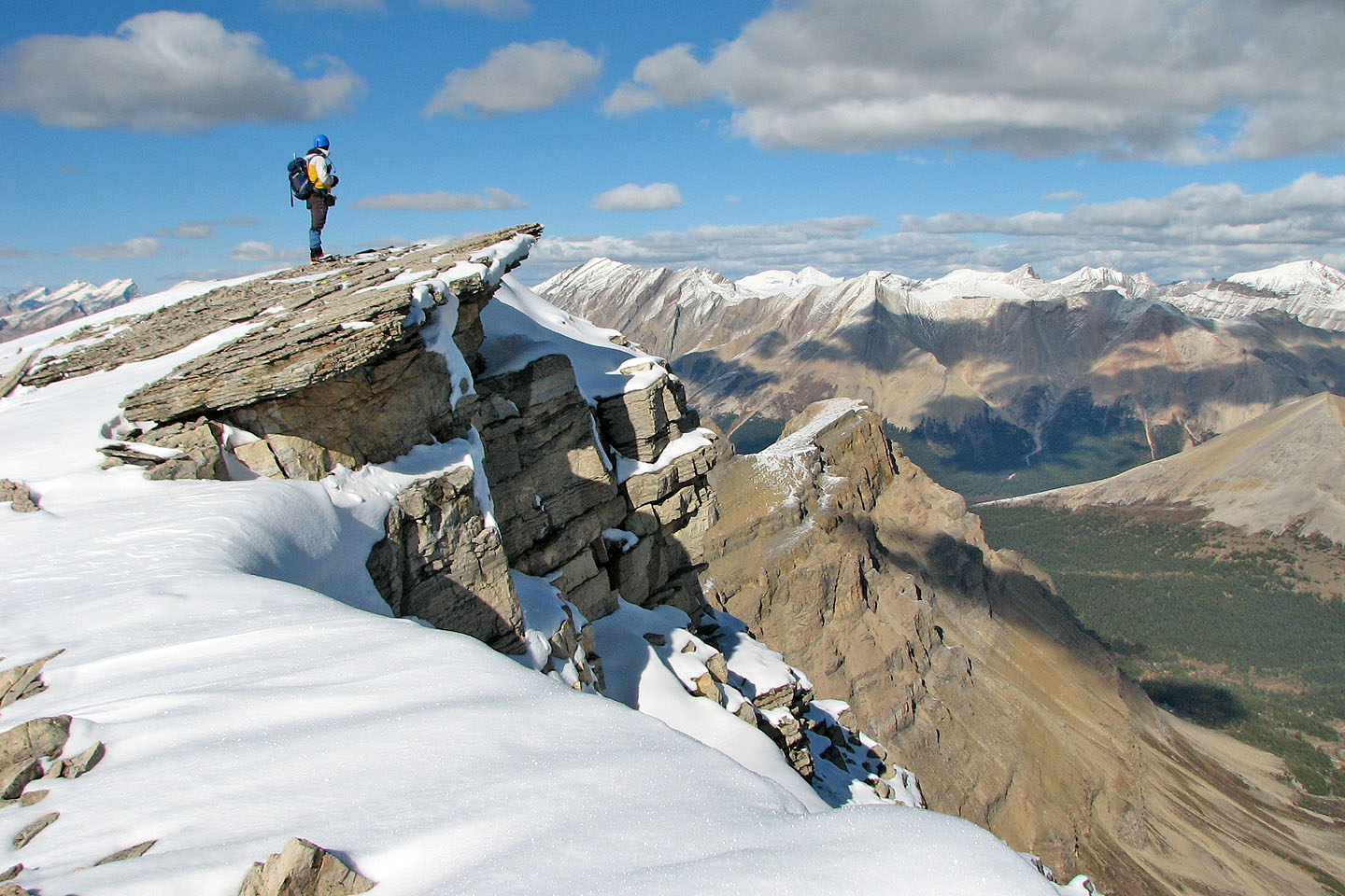
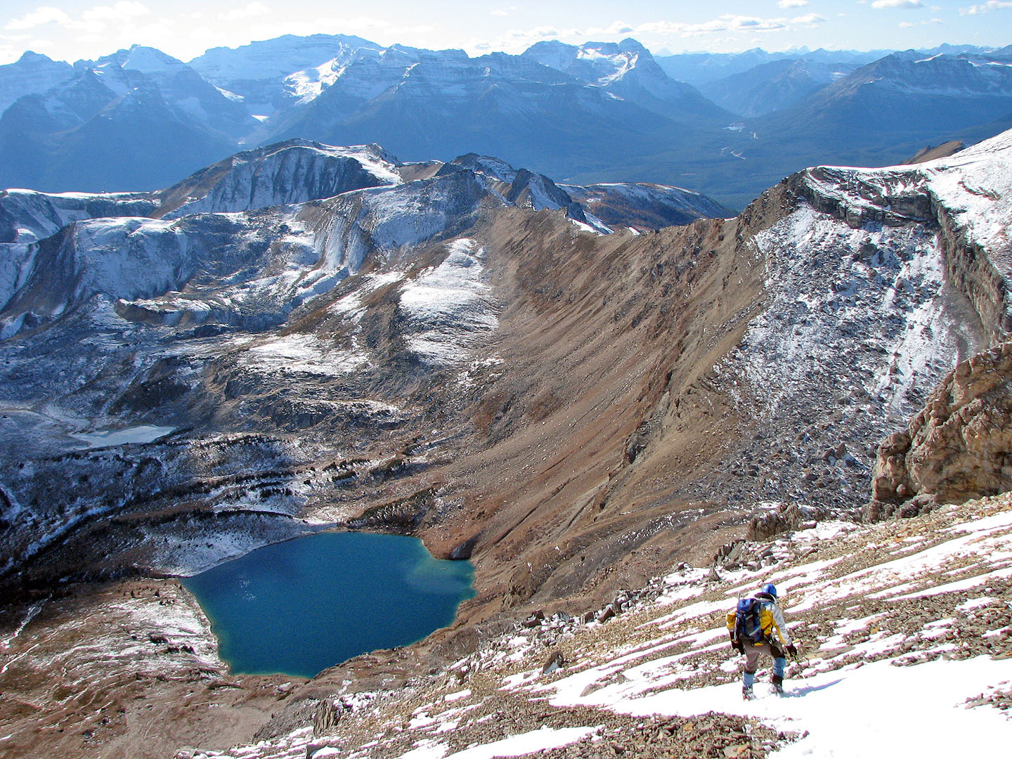
Just before the summit, there's an impressive drop on the left
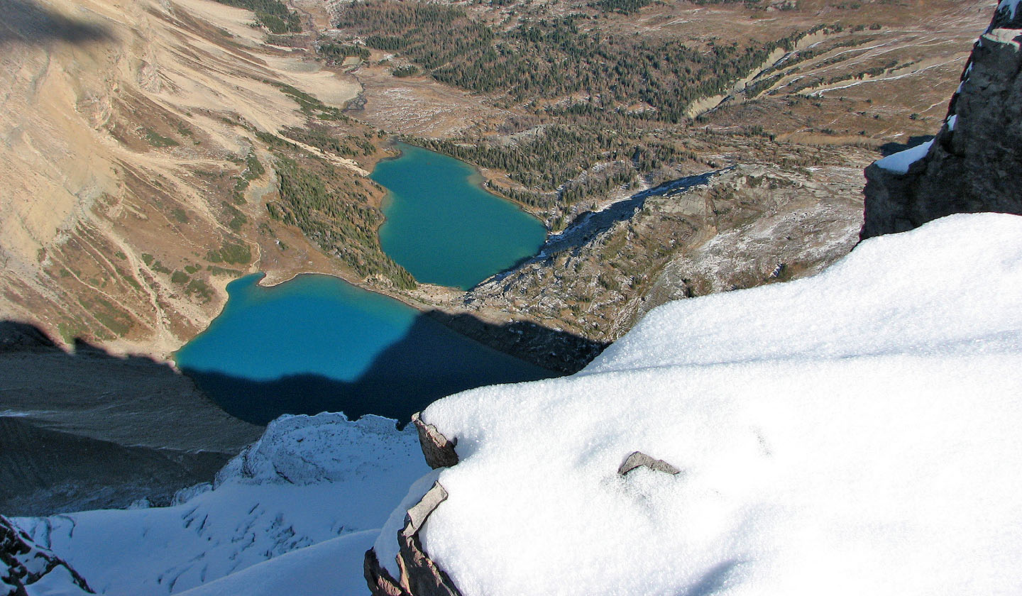
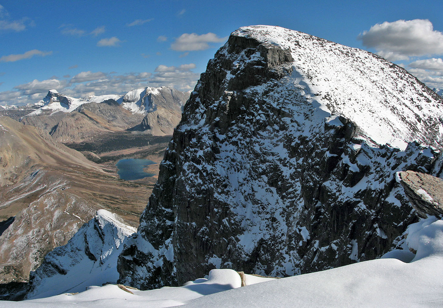
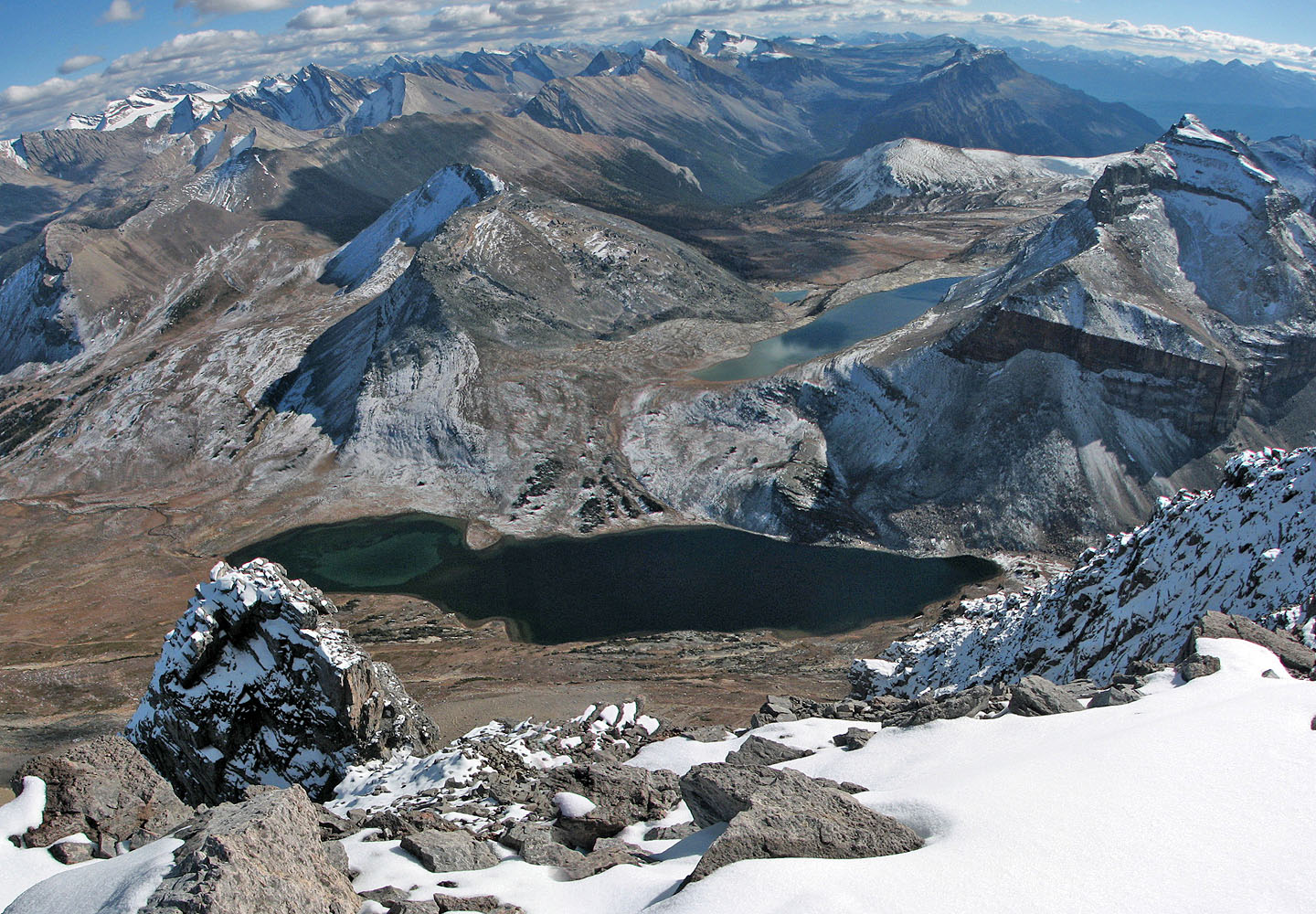
Big drop on the north side. Zigadenus and Myosotis Lakes were named after scientific names of two common
flowers: Zigadenus refers to white camas and Myosotis is forget-me-not.
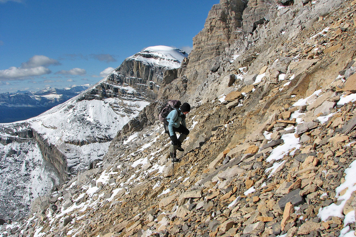
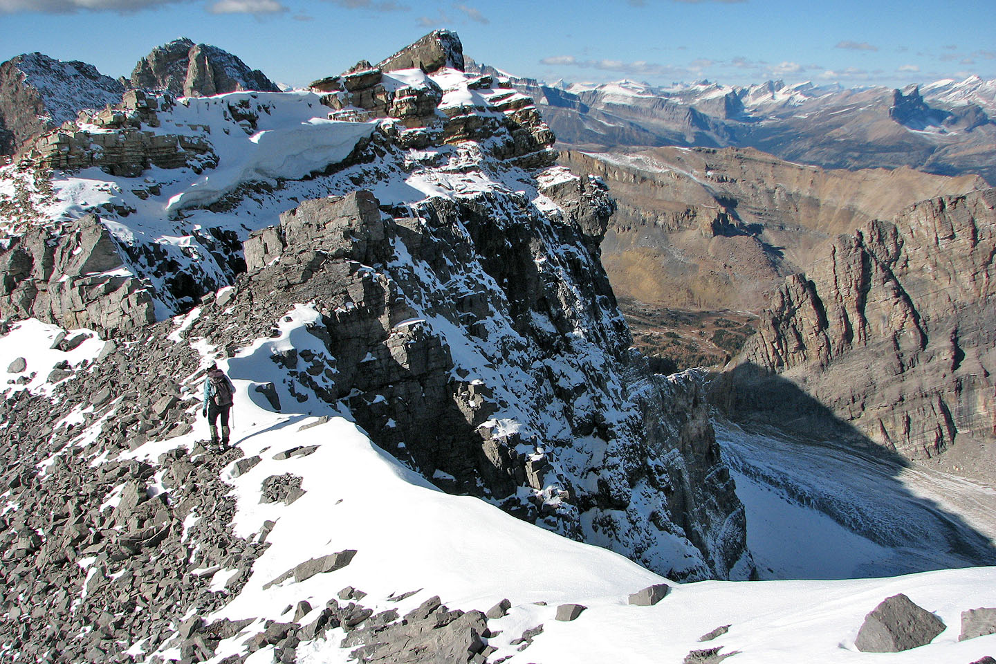
Looking for a way down the crux where the ridge narrows. We ended up downclimbing on my left.
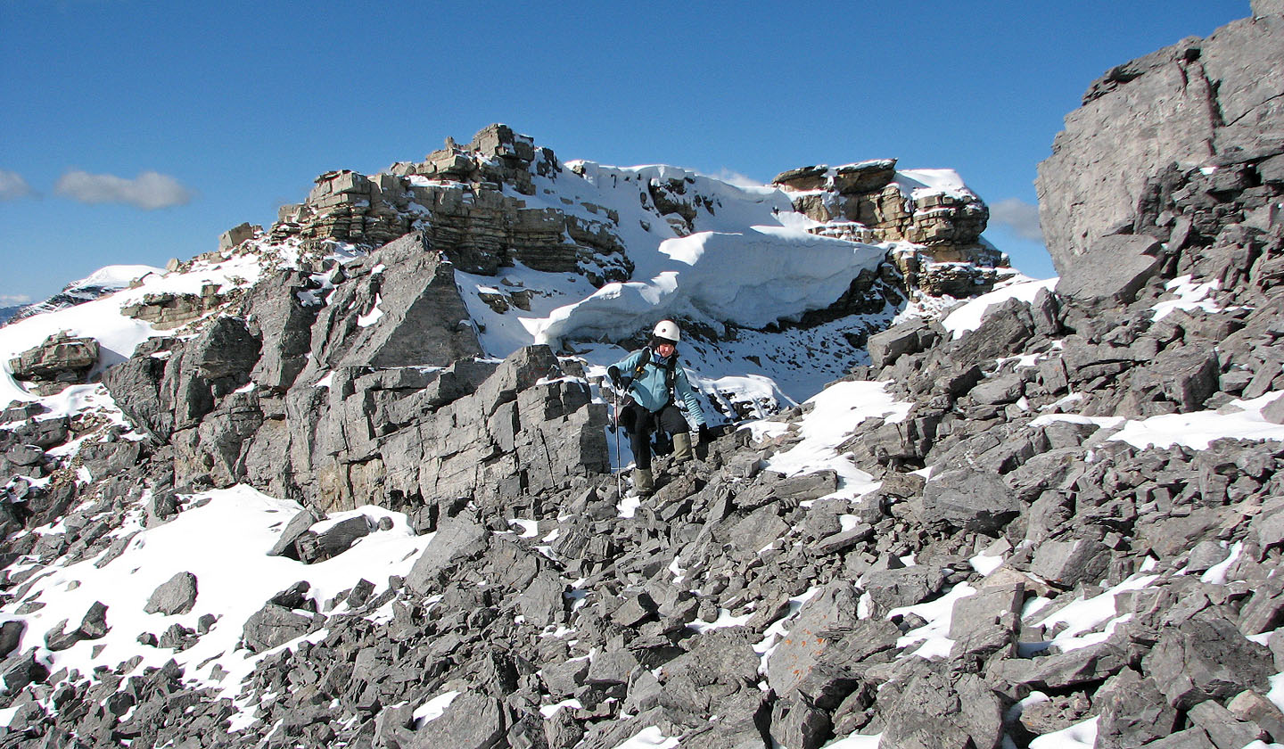
Looking back at the crux
The snow is too hard to kick in so I hacked in steps for some places
Taking in the scenery before heading to the summit
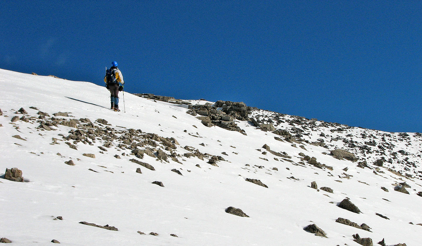
The summit is in the centre, still a few hundred metres away
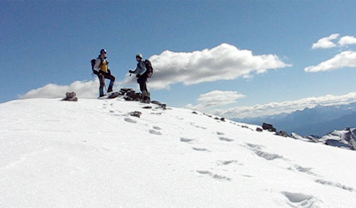
On the summit
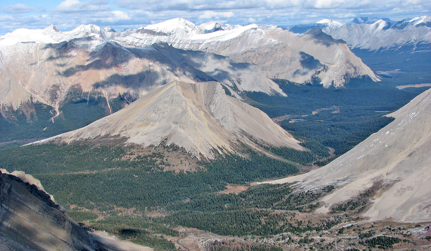
Molar Mountain seen from the summit
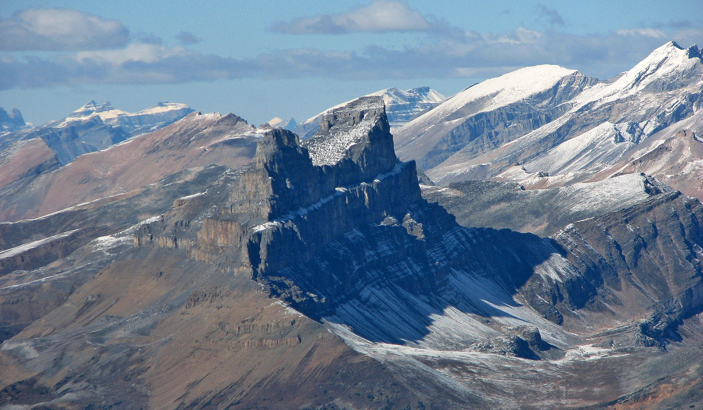
Mount Anthozoan, Heather Ridge,
Mount Redoubt, Ptarmigan Lake and Redoubt Lake
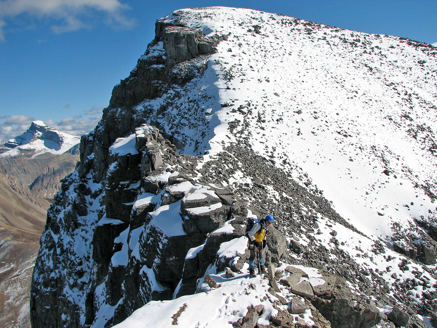
Heading back to the the crux
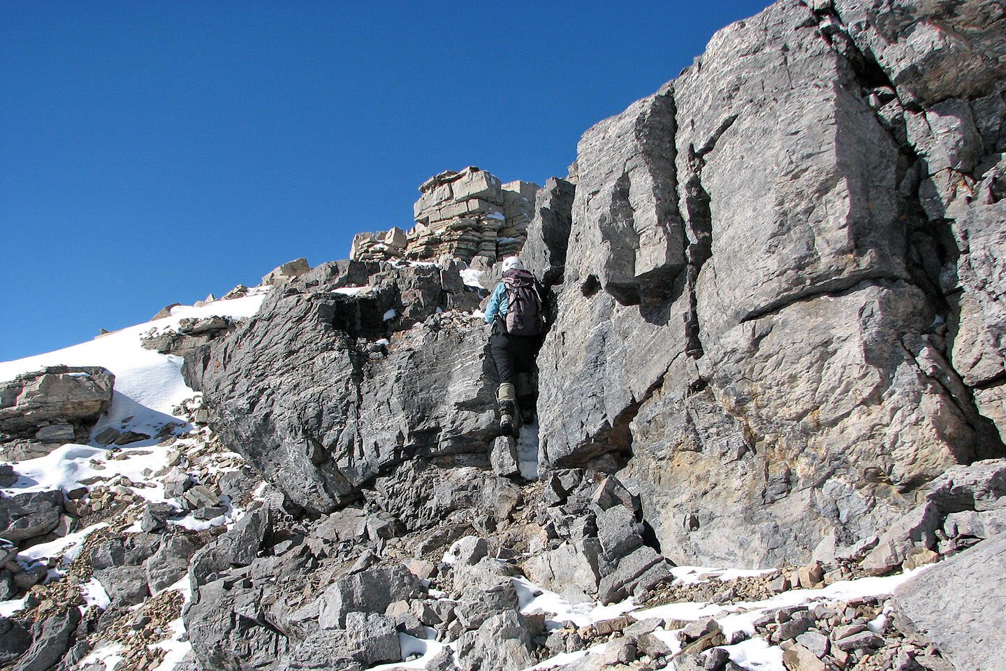
Dinah scrambles up the three-metre crack to regain the ridge
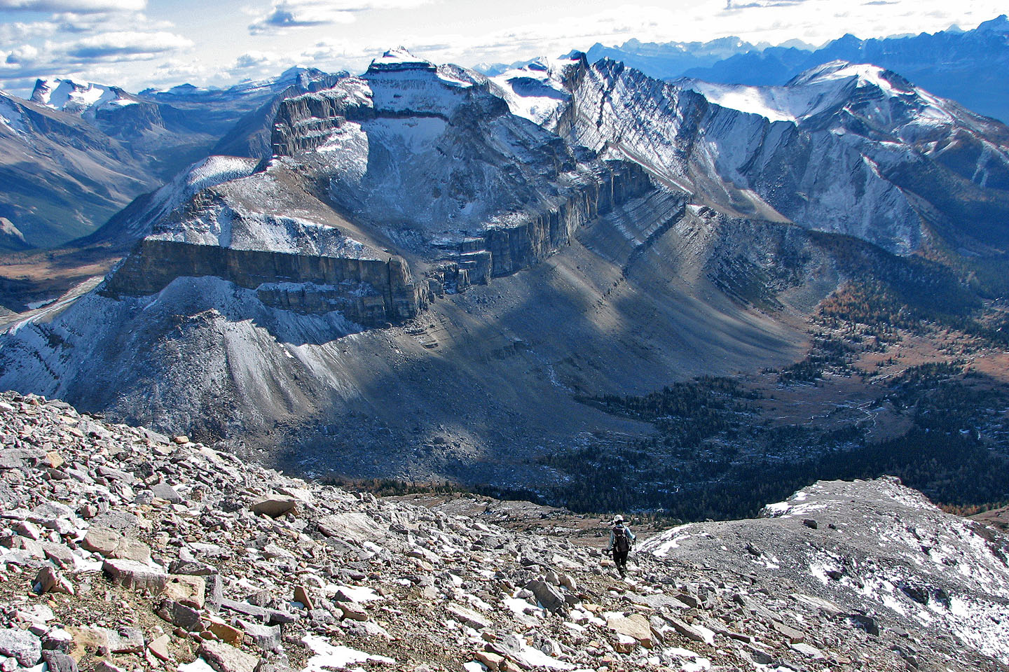
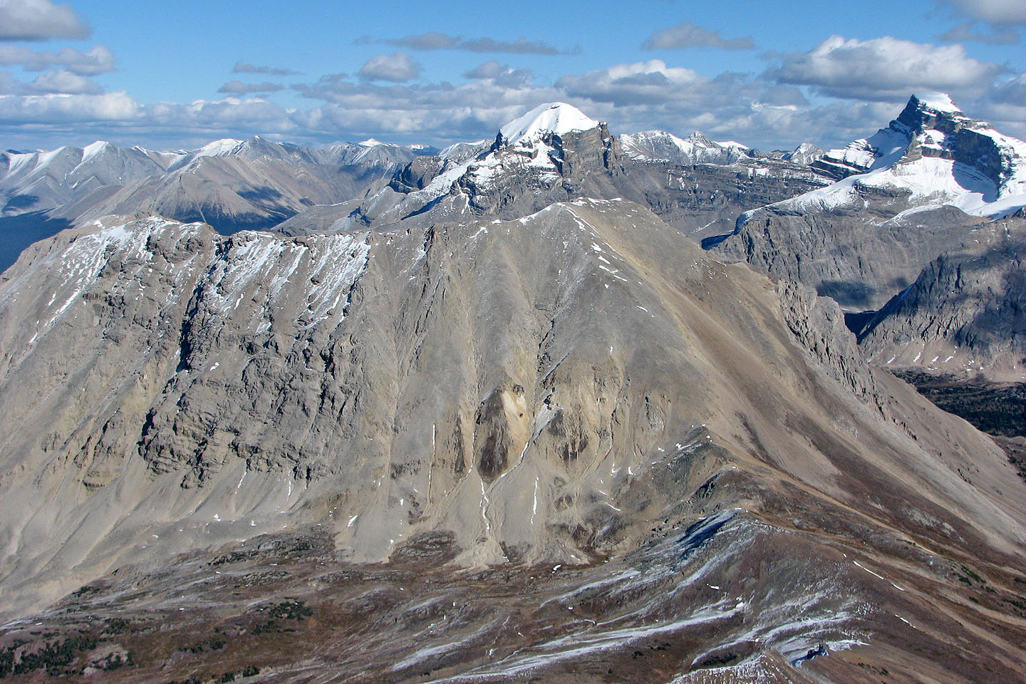
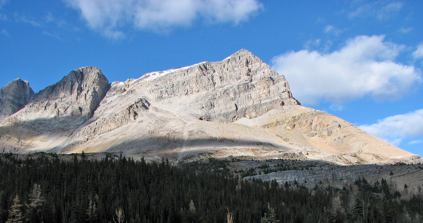
Mount Redoubt fills our view ahead
Descending the steep slope. Hidden Lake below.
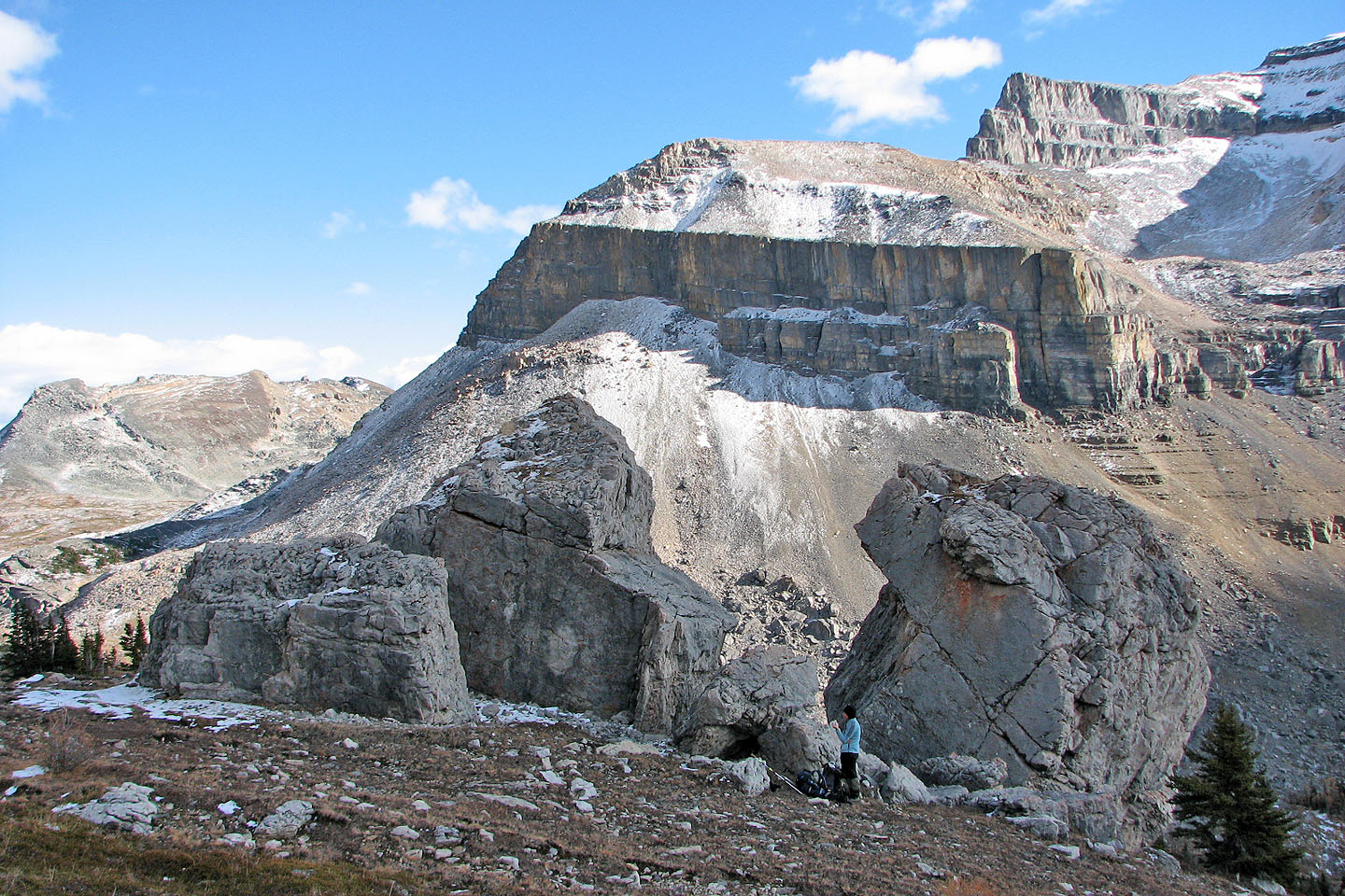
Taking a break at the boulders
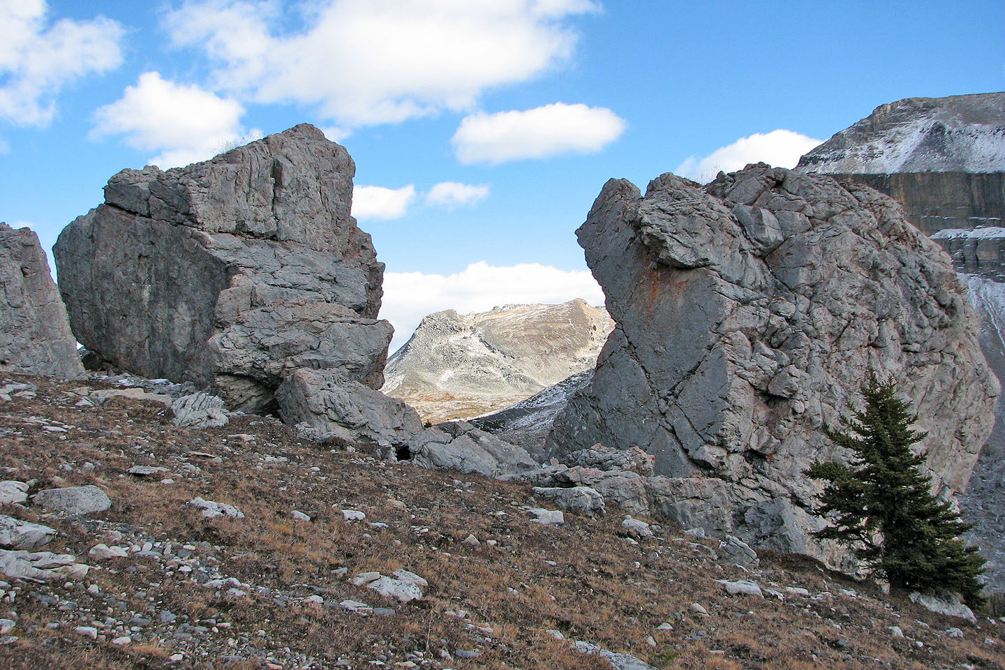
Heather Ridge bracketed by two boulders

Mount Redoubt appears imposing from here
Looking back at Ptarmigan
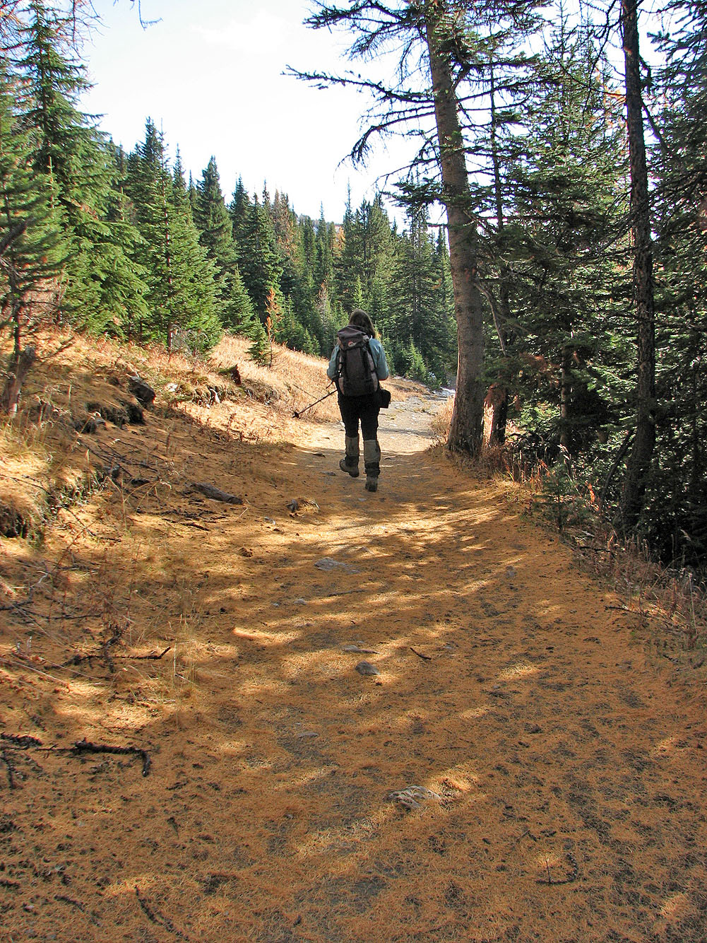
Larch needles created a gold carpet on the trail back
82 N/8 Lake Louise