bobspirko.ca | Home | Canada Trips | US Trips | Hiking | Snowshoeing | MAP | About
Sheep Mountain
Bob Creek Wildland, Alberta
April 3, 2010
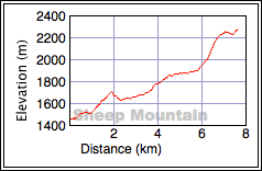
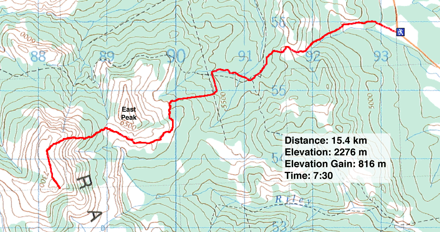
Distance: 15.4 km (9.6 mi)
Cumulative Elevation Gain: 1174 m (3852 ft)
With unseasonably dry conditions persisting in the foothills, it seemed like a good time to climb Sheep Mountain. Although not as dry as I had hoped, I reached the summit.
Dinah and I attempted Sheep Mountain a year and a half ago but only succeeded in reaching an outlier – Sheep East Peak – east of the mountain. But we nailed down a viable, if complicated, approach for both.
After parking on Saddle Mountain Road, I headed up a low ridge to the grass slopes on my right. Higher up, I found the trail in the woods that winds up to the pass. From the pass, without the benefit of a trail, I dropped down 40 m to the road below. I was expecting smooth sailing on the road, but instead I found travel impeded by two feet of snow. Sometimes the snow crust held, but often I broke through and sank to my knees. This was not going to be an easy trip.
The road soon forked. Either fork works, but the right one is shorter. The road crossed a creek and began climbing. Farther along, the road intersects a cutline. I turned south and started up it. I only had to go 250 m before I looked for the second cutline. Just before the first cutline crossed a creek, I turned right and went up the slope. After searching around, I found the second cutline.
The second cutline ran 600 m before abruptly ending. I turned south and headed to the pond. When we were here in the fall, we hiked on a trail. This time, however, I was often forced to thrash through deep snow.
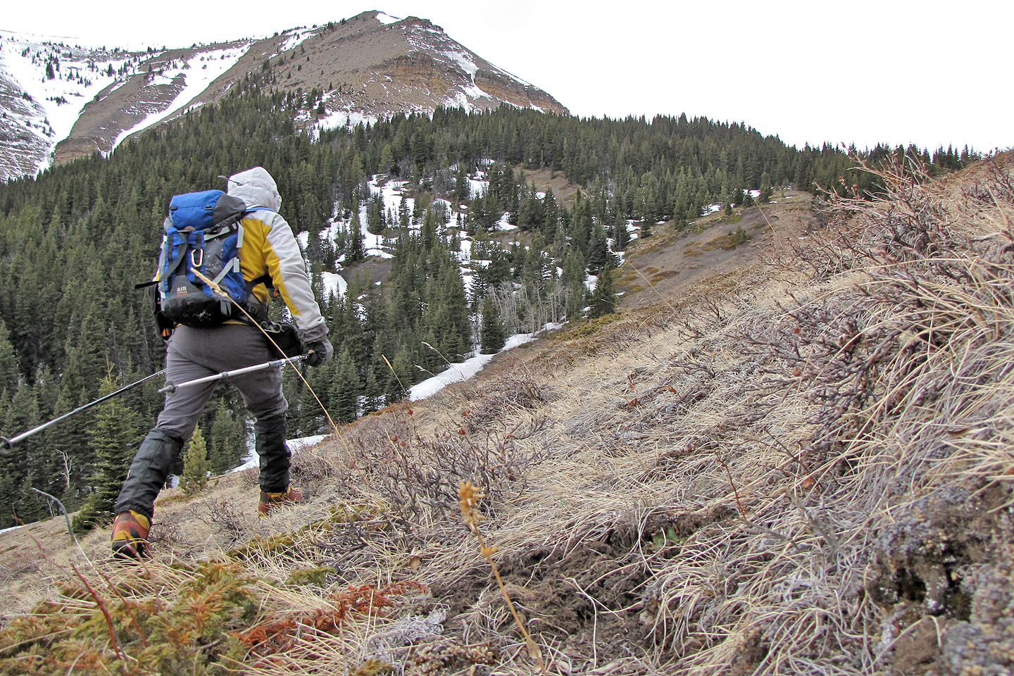
I continued south on trails or through clearings where I could, trying to avoid the snow. Soon I emerged from the trees. On my right, a steep slope marked the base of East Peak. I contoured around it to the col.
From the col, I bushwhacked through the trees and waded through more snow to reach the scree slopes. After grinding up the slope, I made the ridge crest. The summit was still far off, but it was an easy walk, although the wind would have something to say about that. The wind froze my face and threatened to knock me over. After reaching the summit, I snapped a few photos and beat a hasty retreat.
I wish I could say I enjoyed this trip, but the wind and overcast sky dulled the scenery as well as my enthusiasm. Perhaps I should have waited for a nicer day.
Although I wasn't stopped and saw no signs to the contrary, I cannot be sure trespassing is allowed here. Gerry Richardson, Event Coordinator Calgary Outdoor Club, emailed me a caveat.
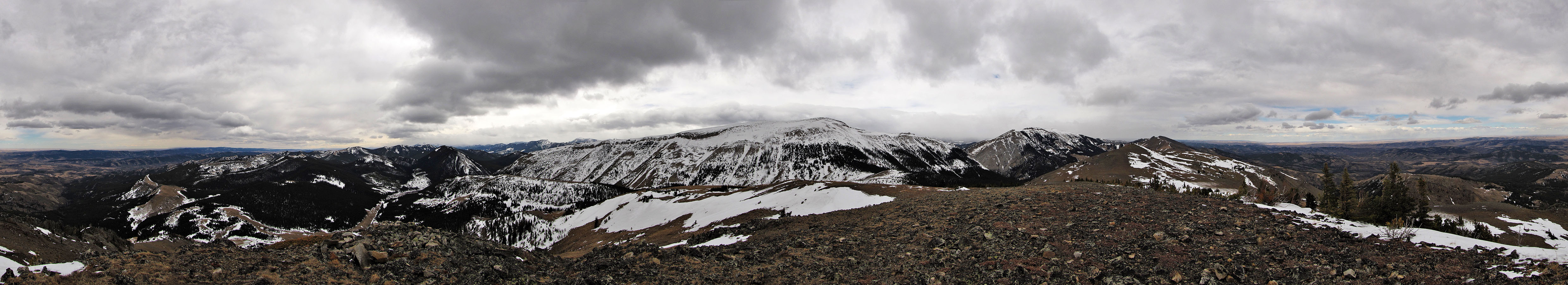
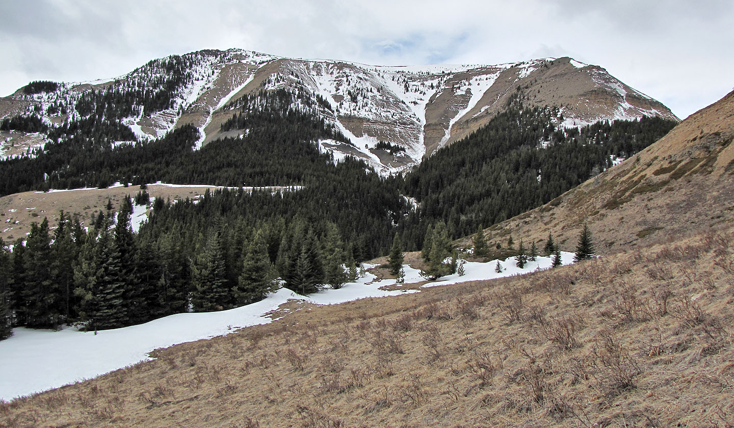
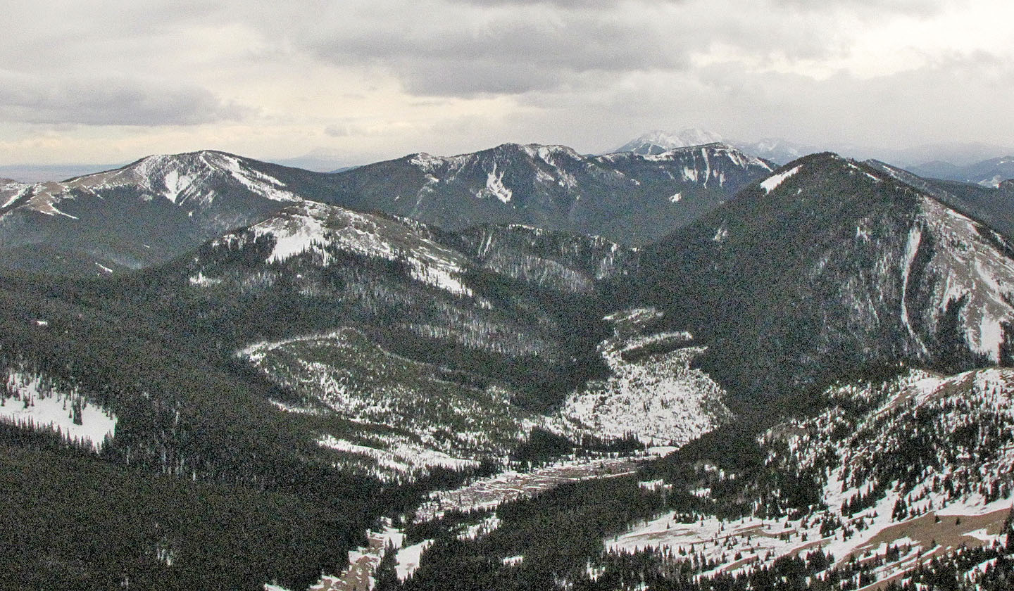
To get to Sheep Mountain (left) I hiked over the low ridge in the foreground, went left around
the outlier (centre) and ascended the bare east slope
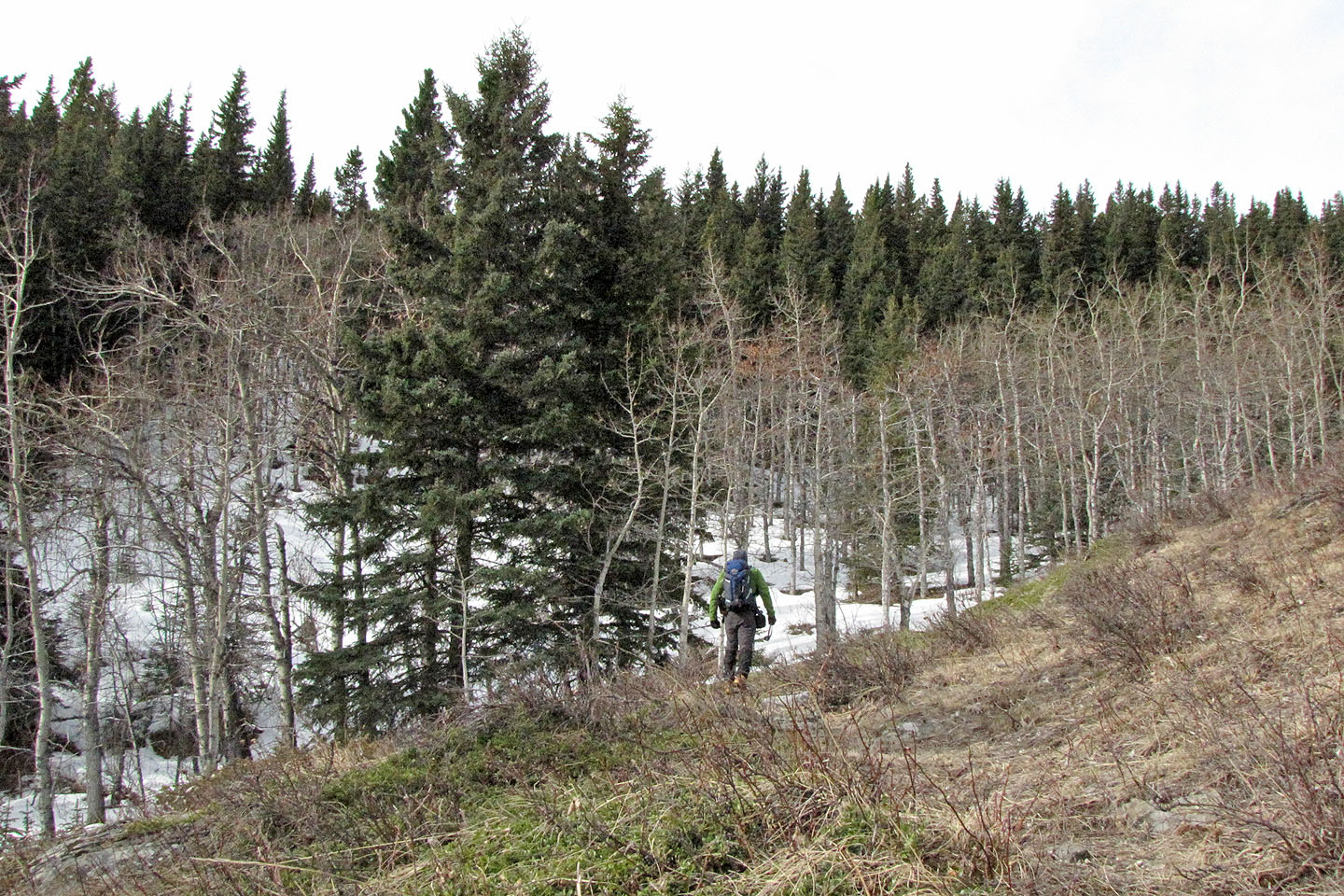
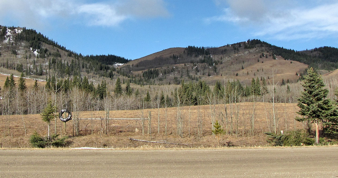 After parking, I hopped the fence, crossed a field and went to the open slope on the right
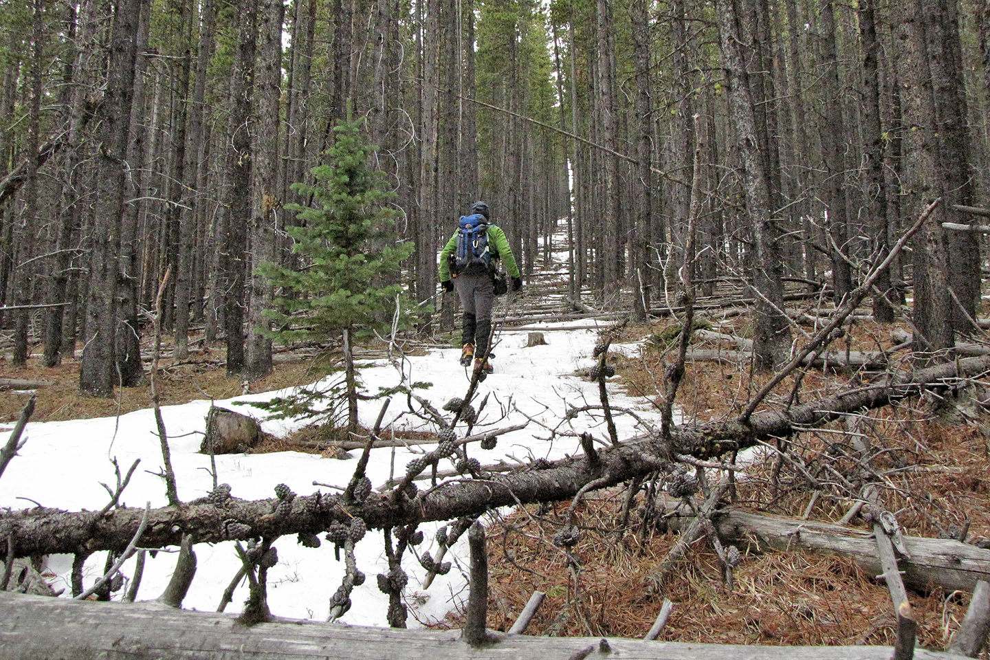
On the trail below the pass. The trail wends right, keeping to grassy slopes.
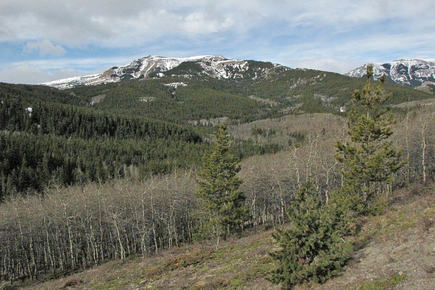
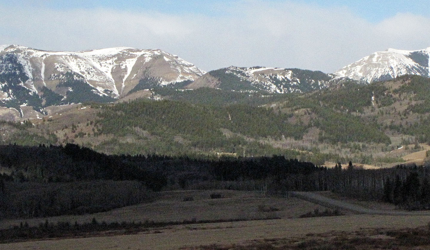
Sheep Mountain from the ridge, partially hidden by the outlier
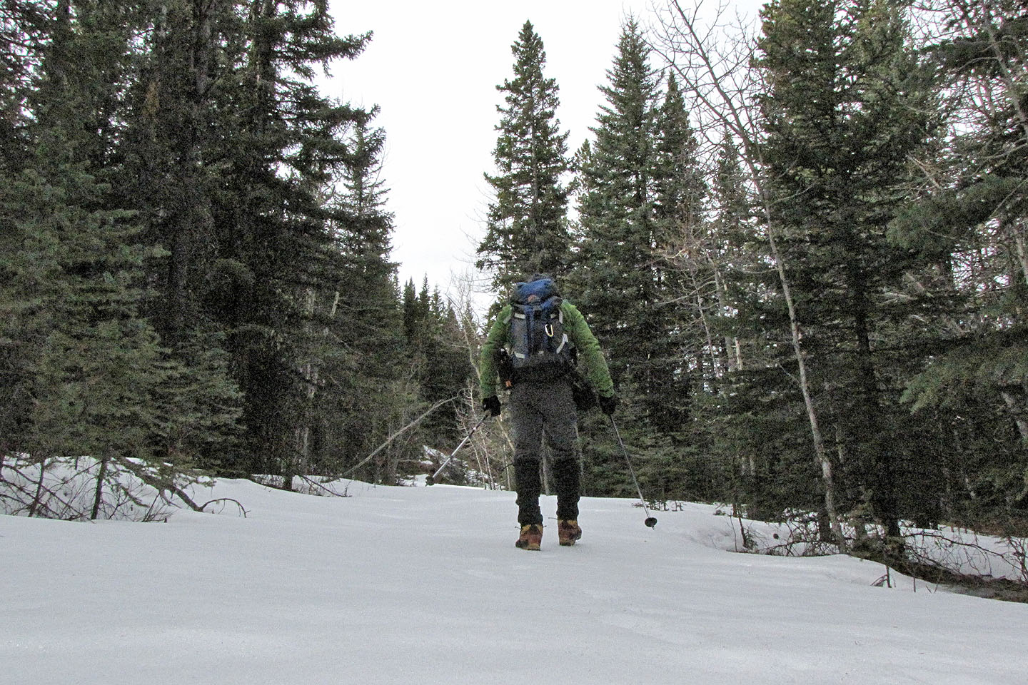
On the road: the snow mostly supported my weight, but I often punched through the crust
into knee-deep snow
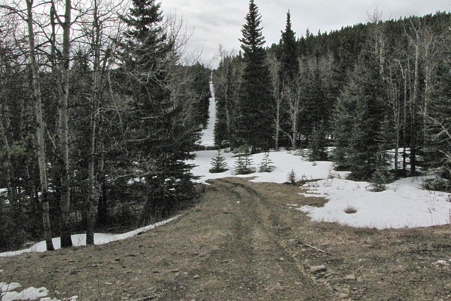
Looking up the first cutline from the road
Second cutline
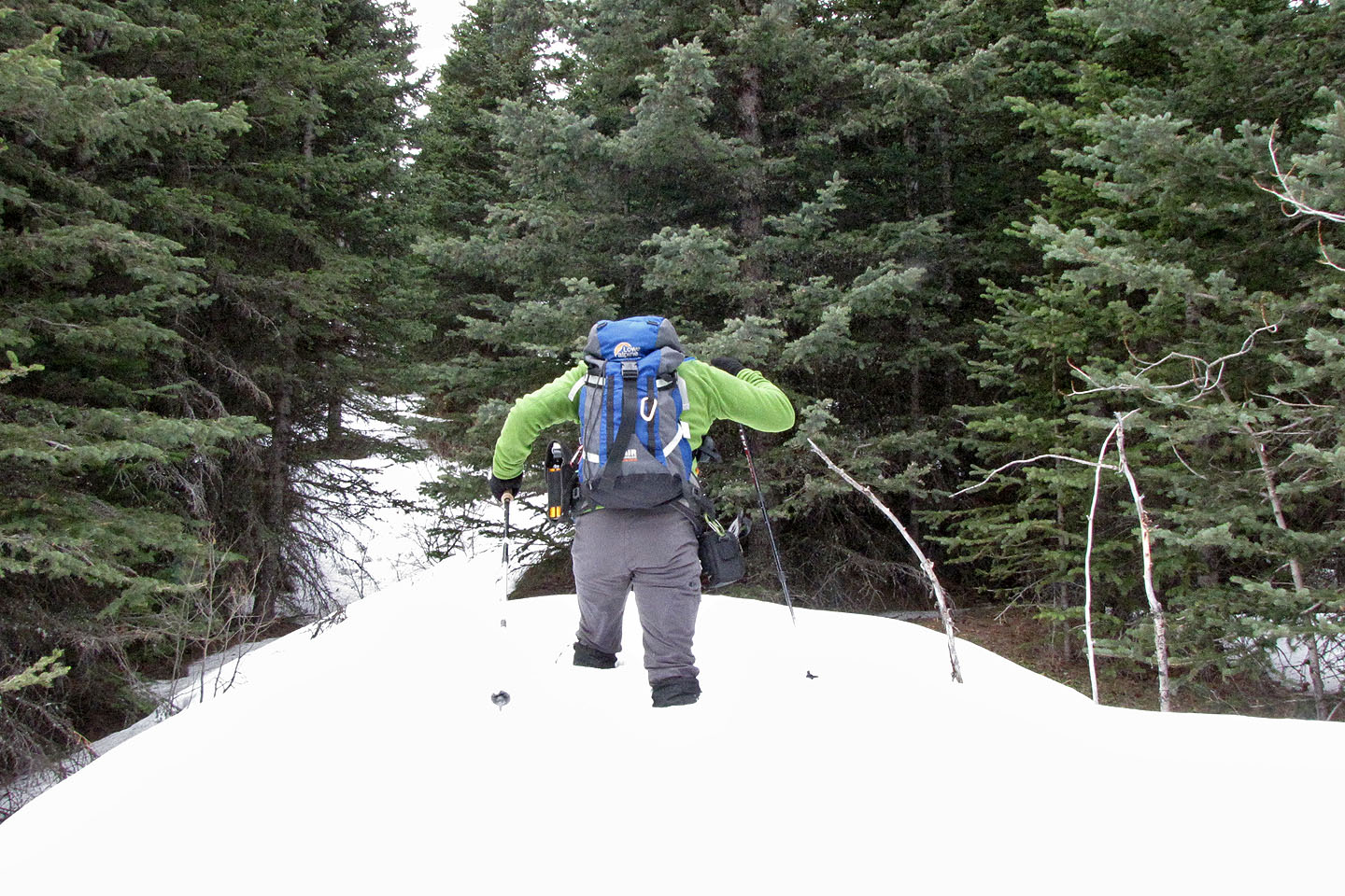
Postholing to the pond
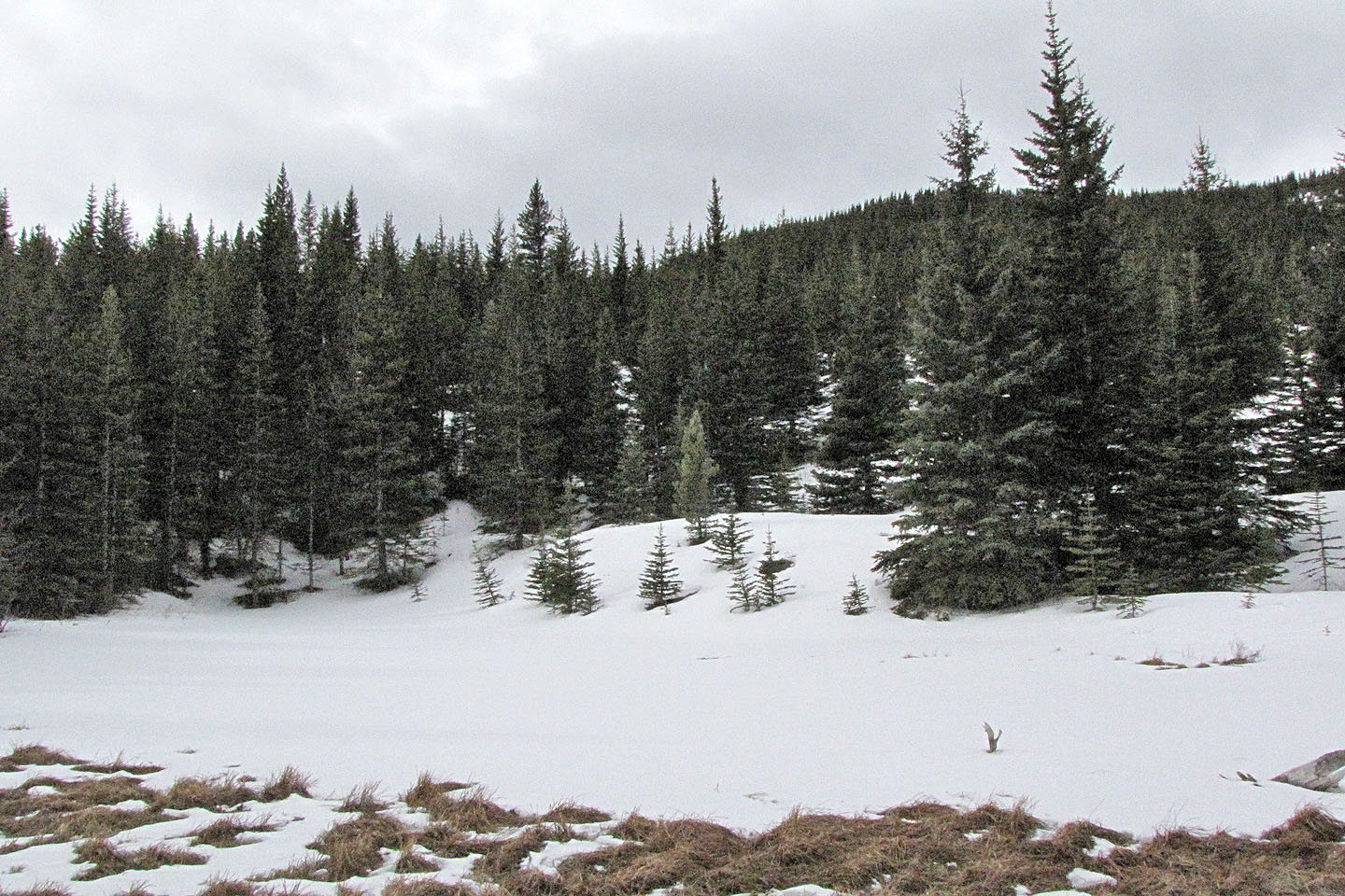
The pond was hidden under snow
First view of Sheep Mountain as I rounded the base of the outlier
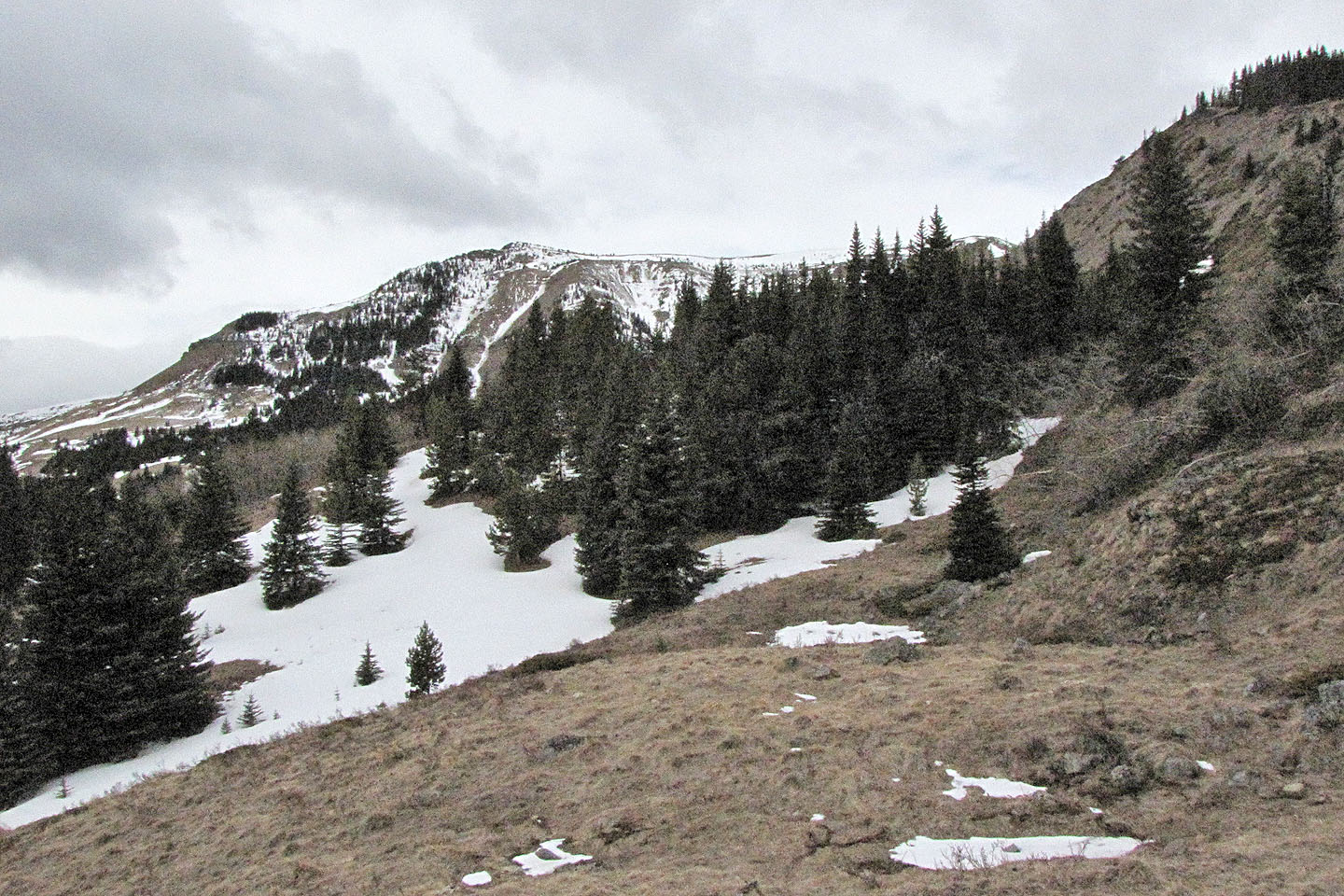
As I continued, the ascent slope on the right came into view
From the saddle, I'll work my way along the ridge to the scree slope
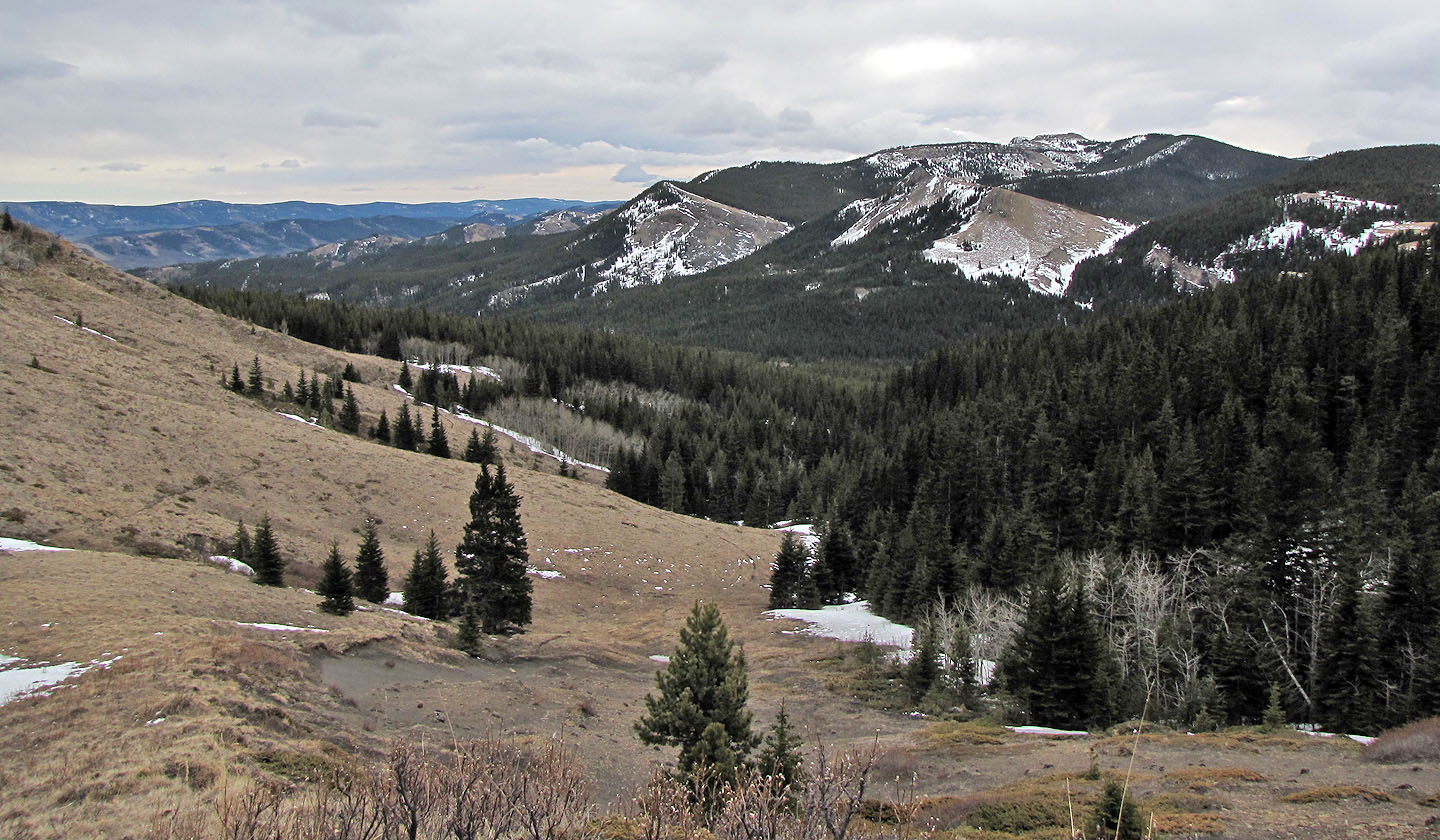
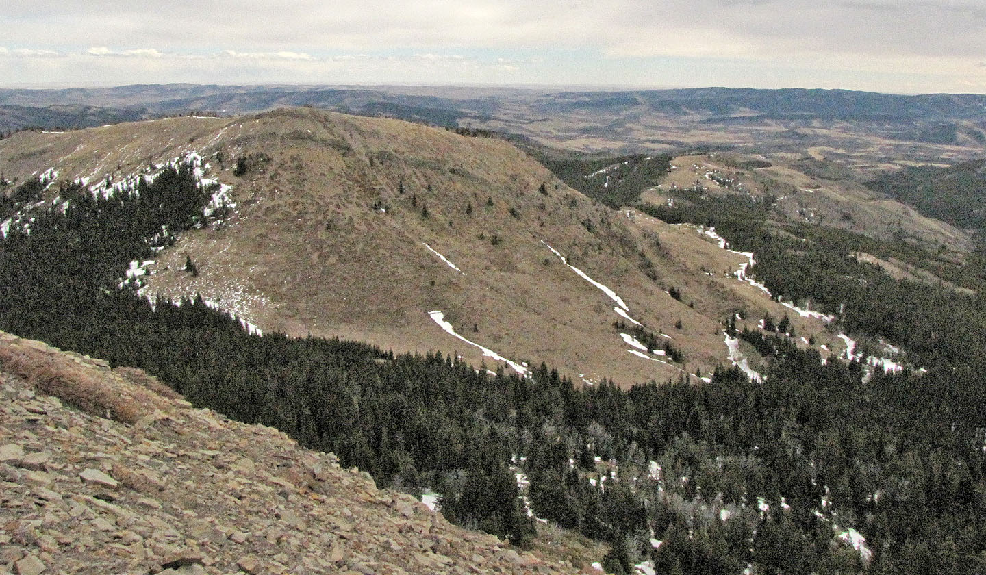
Horseshoe Mountain lies south
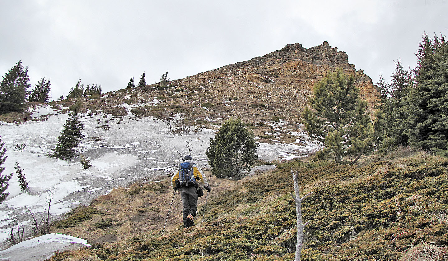
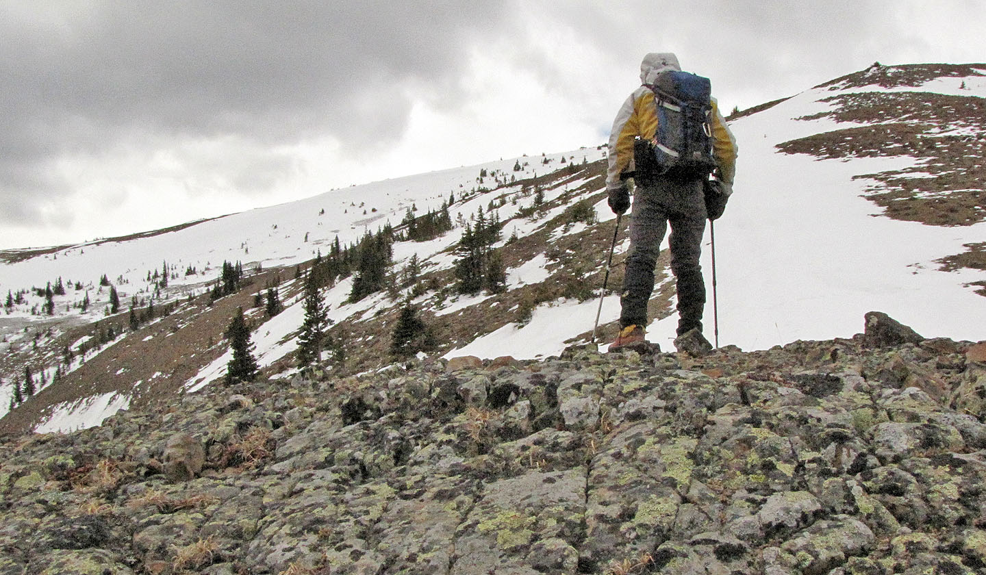
Starting up the scree slope
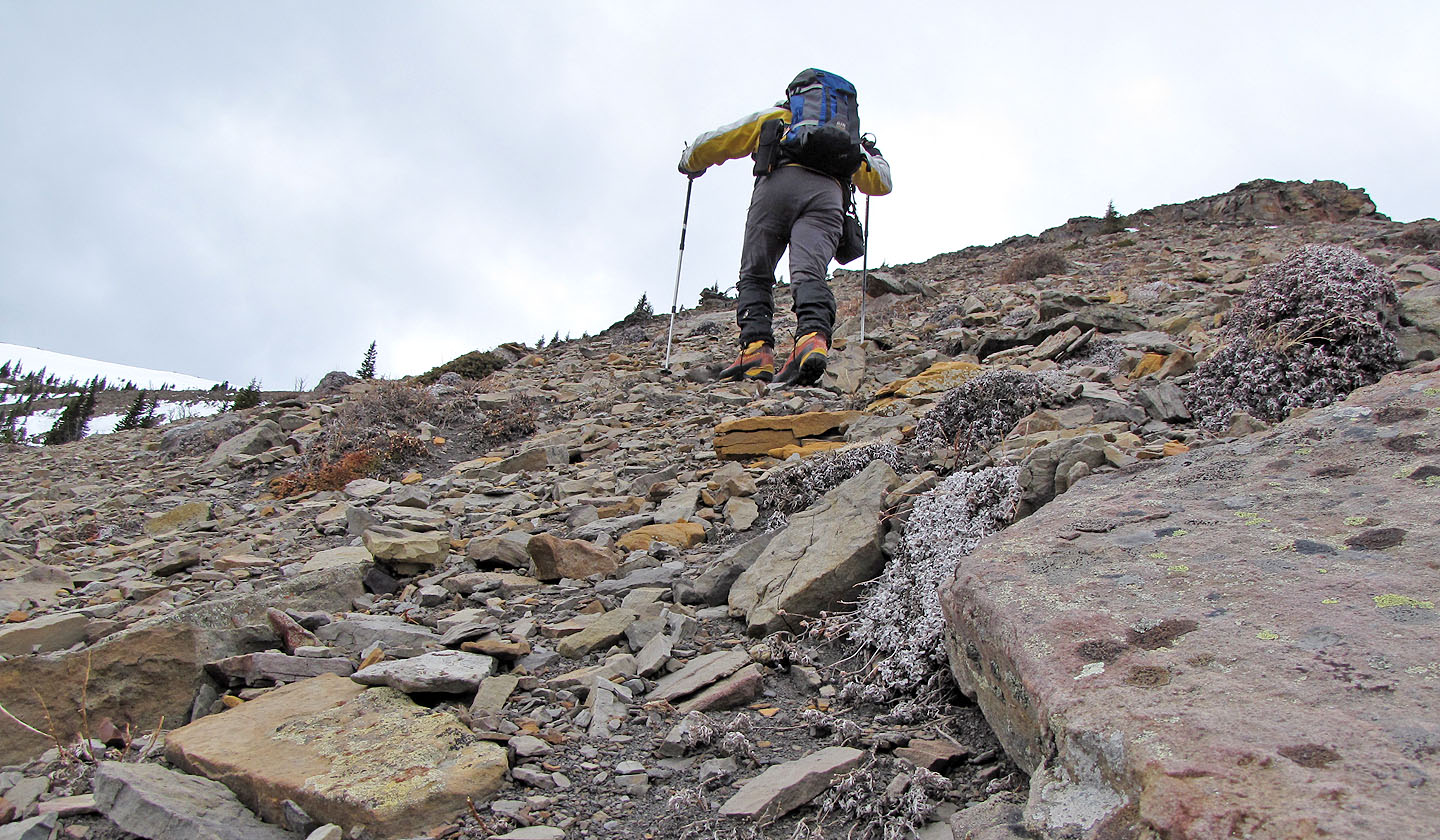
Loose rock slowed my ascent
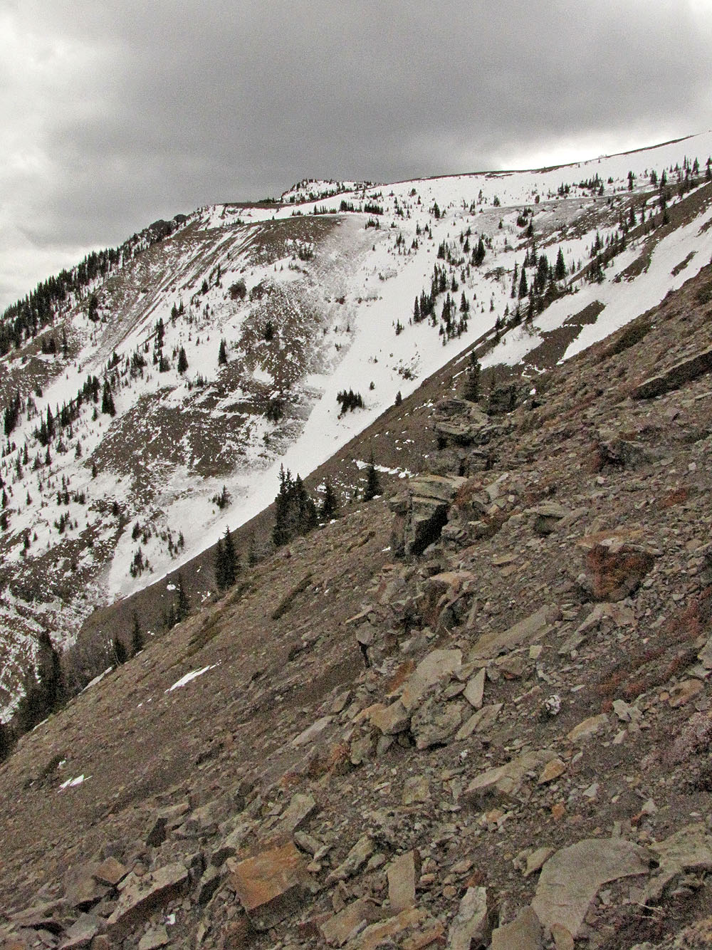
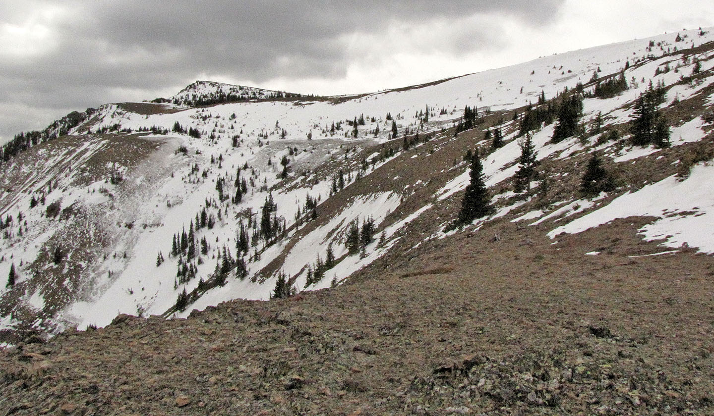
After climbing above a minor cliff band, I saw the summit was still far away
Looking back at East Peak that Dinah I had climbed
On the ridge
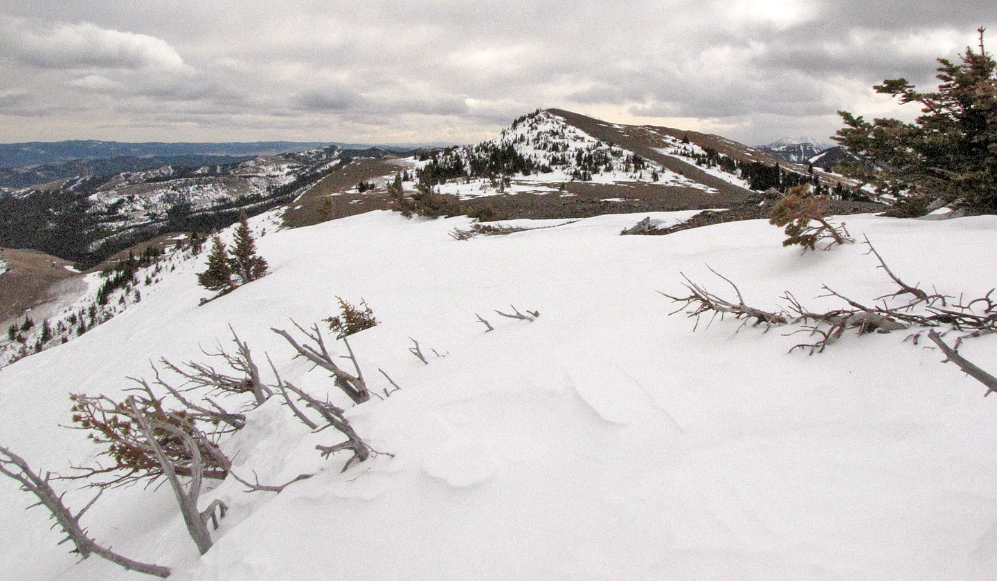
The summit came into view
After kick-stepping up a snowy slope, the summit appeared close
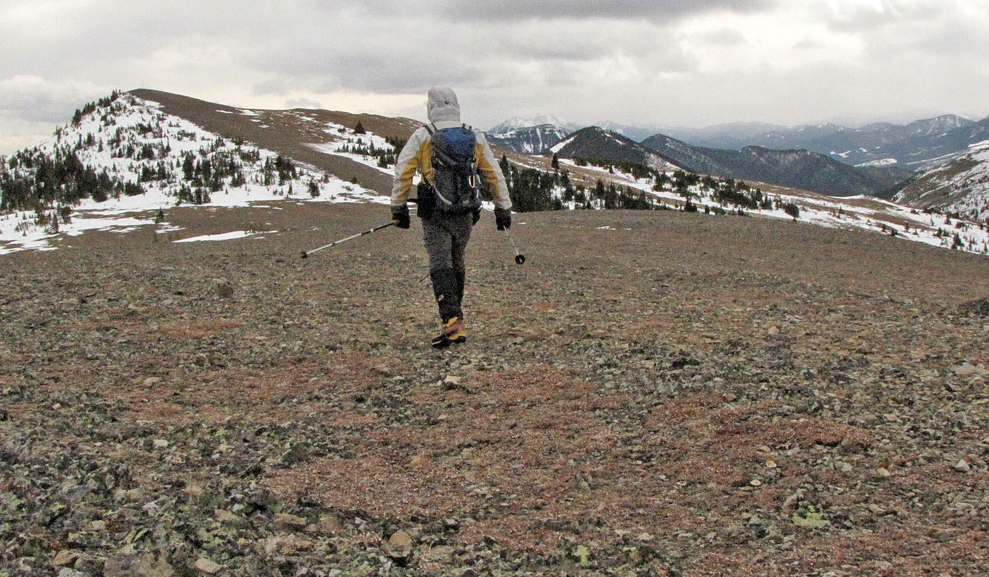
A cold wind made the final leg miserable
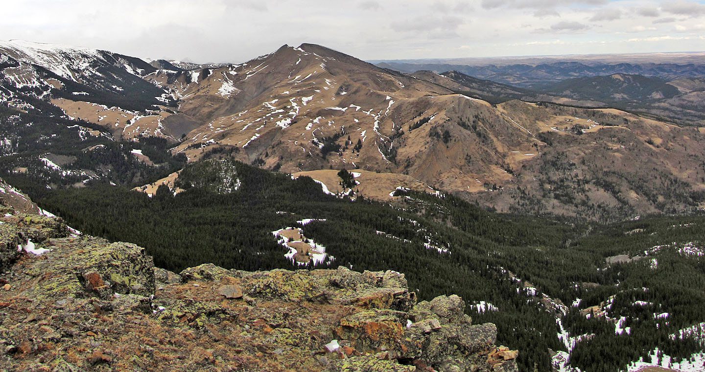
Looking at unnamed peaks south from the summit
82 J/1 Langford Creek