bobspirko.ca | Home | Canada Trips | US Trips | Hiking | Snowshoeing | MAP | About
Chimney Rock
Bob Creek Wildland, Alberta
November 10, 2007
Distance: 15.2 km (9.4 mi)
Cumulative Elevation Gain: 756 m (2480 ft)
If you drive down Chimney Rock Road, you'll see a high point on a ridge capped with a square rock. This is Chimney Rock and I went to climb it.
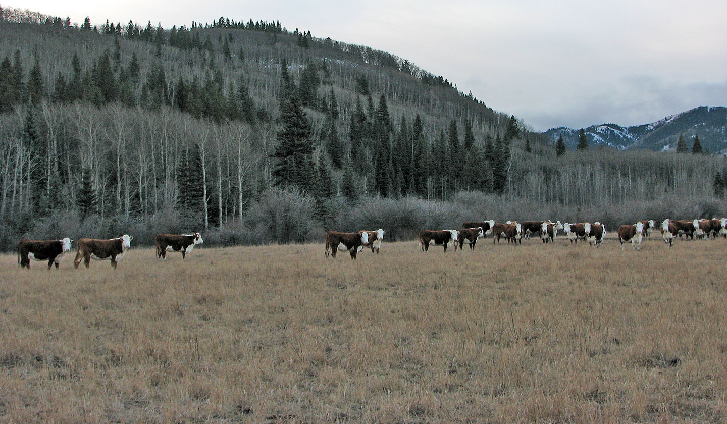
After parking at the end of Chimney Rock Road, I crossed a cattle pasture and headed into a thicket. The dense bush hid marshes and was miserable going, so I turned to the wooded slope on the left. I followed the path of least resistance, avoiding gaining elevation and dense trees when I could. Eventually I caught sight of Chimney Rock still some distance away and followed an undulating ridge to reach it.
After a long hike, I came to the base of the summit block and walked up the backside. From the flat top, the views were good. Further along the ridge to the south, I noticed a higher point, and I set off for it.
It was farther away than I expected, but there were trails on either side of a barb wire fence for most of the way. During the trip I was often forced to climb over fences. The ridge became a long, rocky edge. I enjoyed hiking along the edge although the views were limited because of trees on the west side. After reaching a high point, I continued a short distance before turning around.
I retraced my steps back to the low point on the ridge, and then I headed west to the valley thinking it would be easier than bushwhacking over the ridge I had done earlier.
The valley was no better, however. There was plenty of deadfall at first, and then the terrain became an unforgiving mix of cattle-pounded mud, dense bush and marshland. The map indicated a trail, but when I got there, it looked no different than the landscape I had been on.
For a late-season trip, Chimney Rock is a worthwhile endeavour, but it lacks a reasonable approach.
Postscript: I should have asked for permission to hike here. To get permission to access, see my email from Gerry Richardson, Event Coordinator Calgary Outdoor Club.
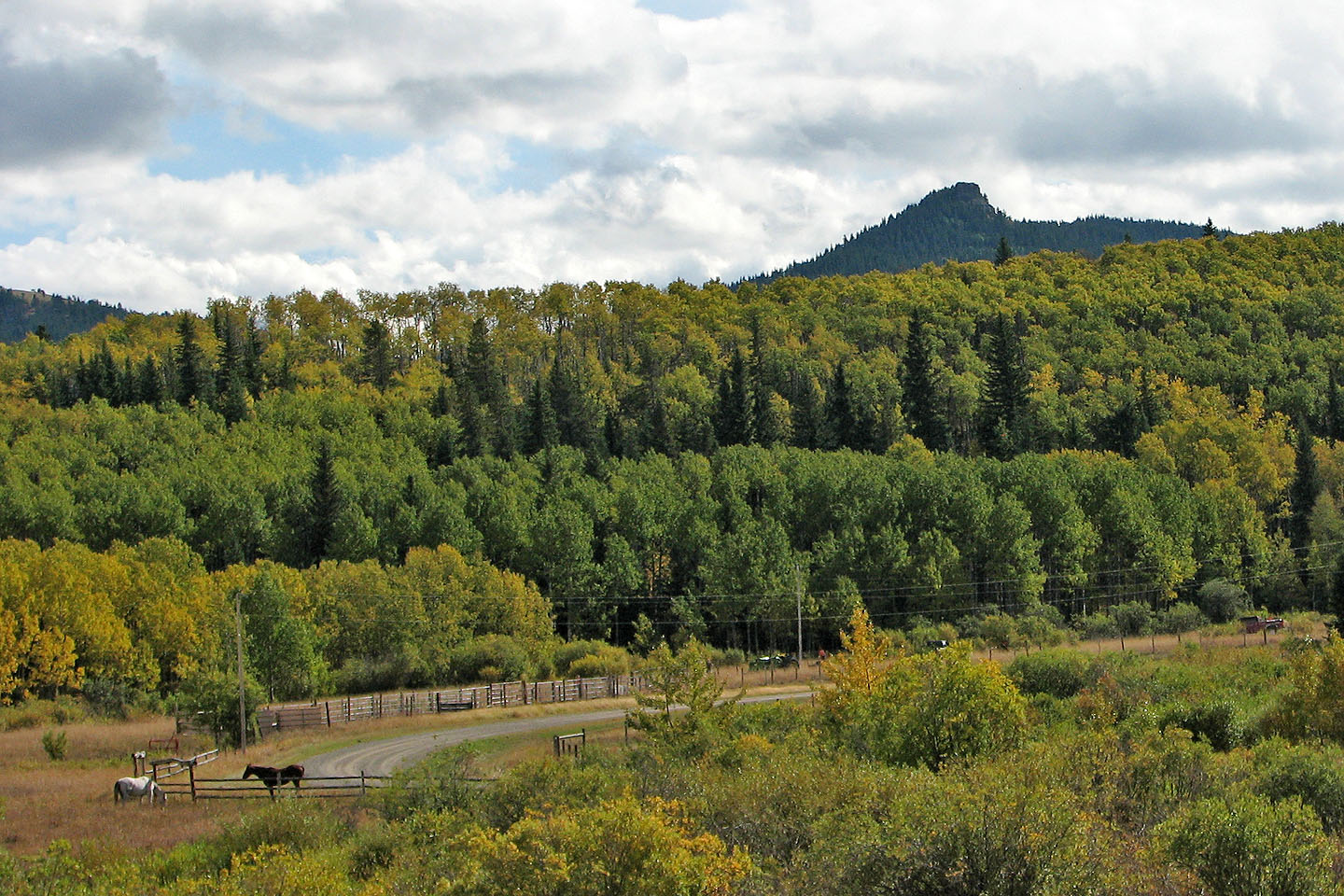
Chimney Rock seen from Chimney Rock Road (mouse over)
I headed to the wooded ridge
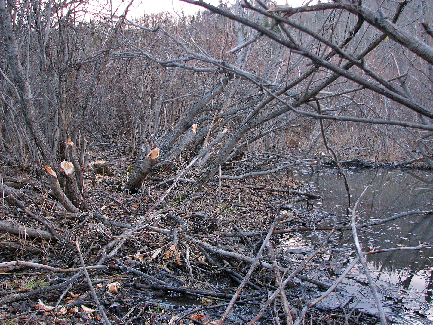
Beavers were busy here. Bushwhacking was awful.
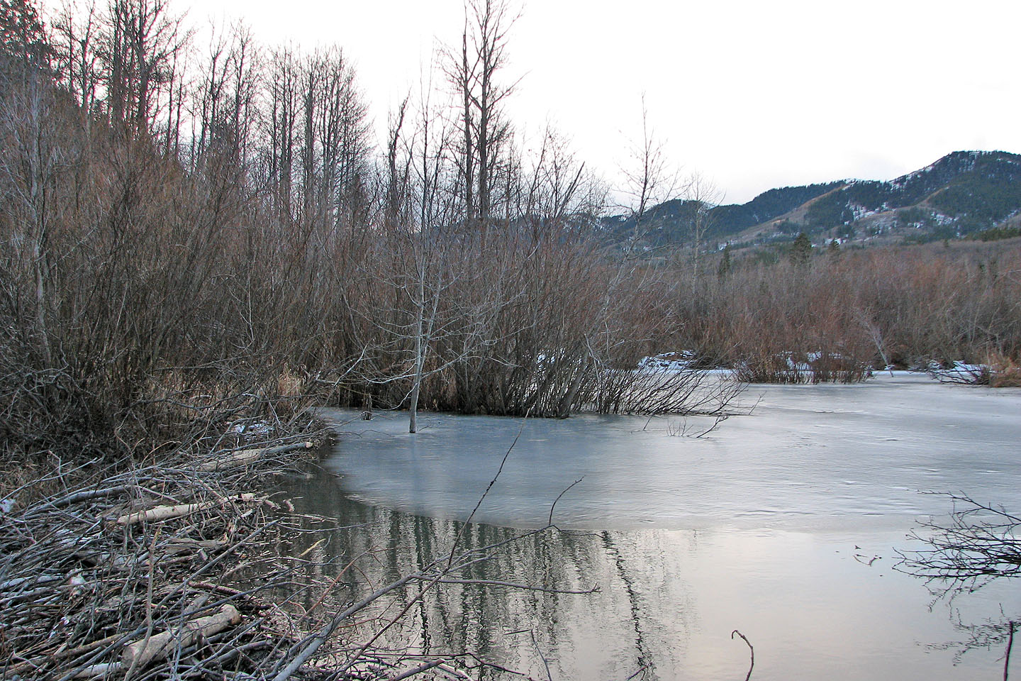
I crossed this beaver dam and headed up the slope

Grave markers
Looking down at the slope I ascended

Bushwhacking up the slope
I dropped down here to climb the slope opposite me. Chimney Rock is on the left (mouse over).
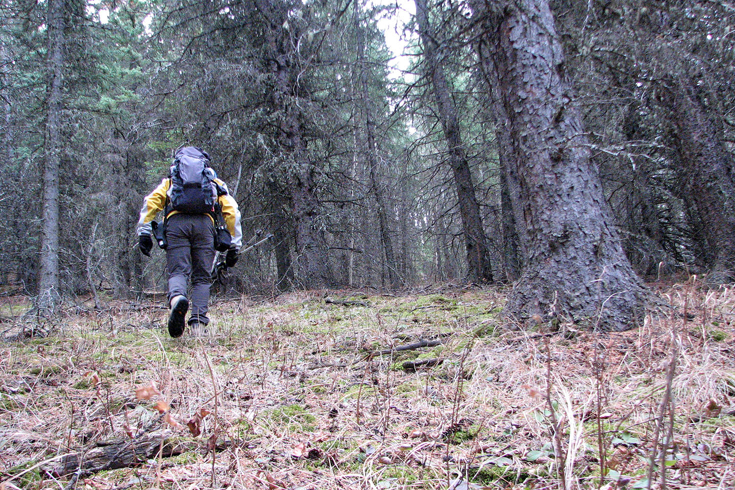
The woods were mostly free of underbrush

After this point I mostly followed grassy slopes
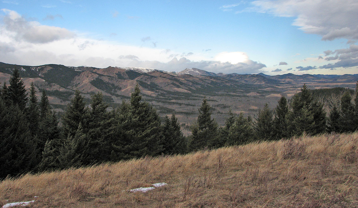
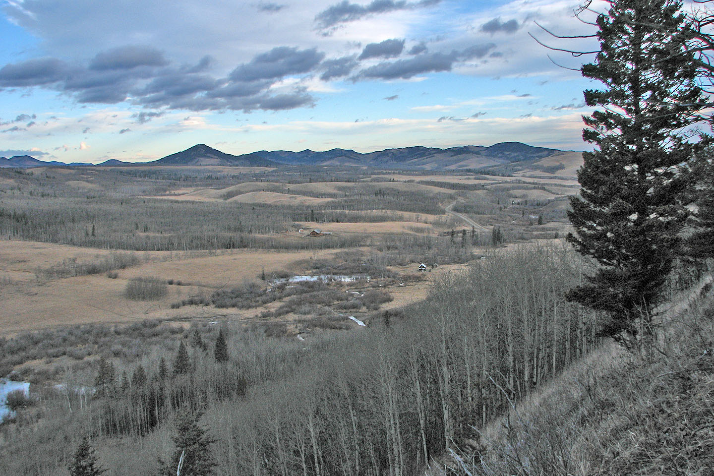
View northwest toward Saddle Mountain (mouse over)
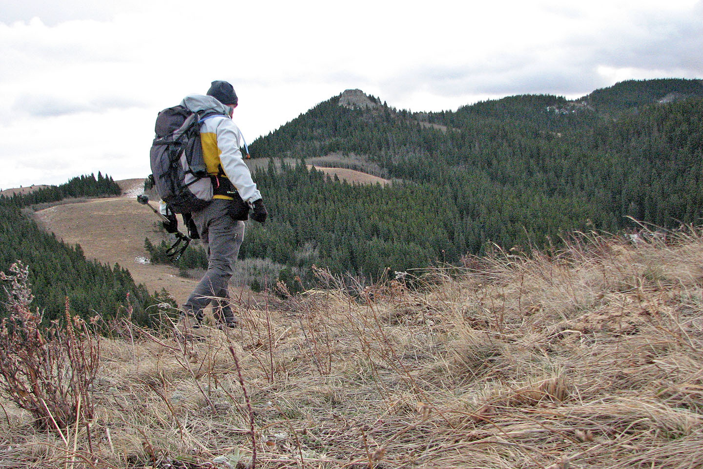
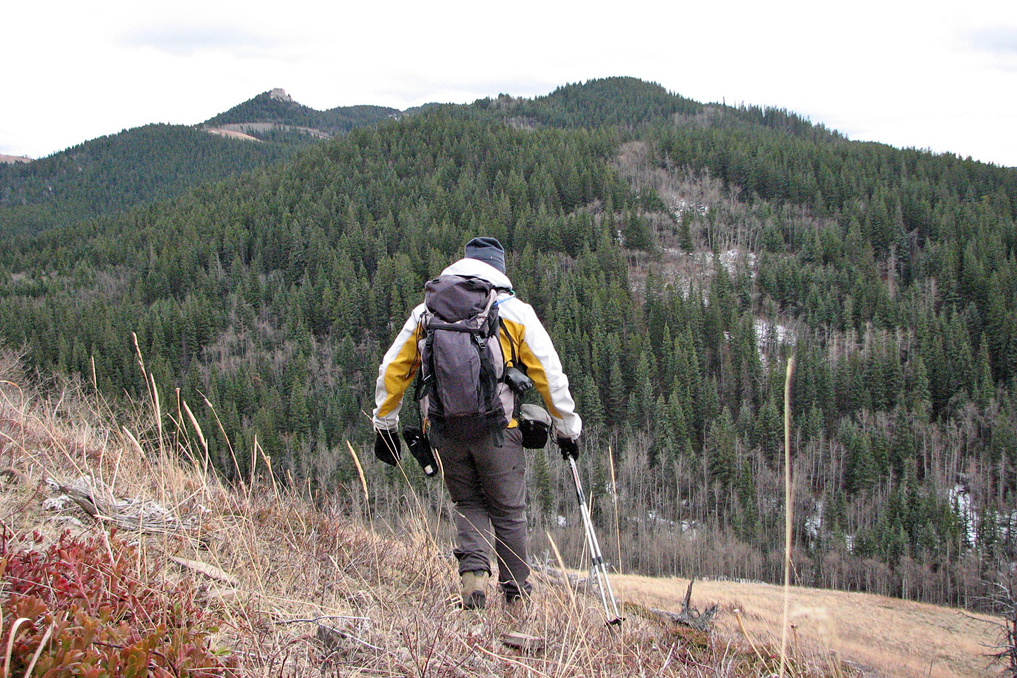
It was evident I could reach Chimney Rock from the backside (mouse over)
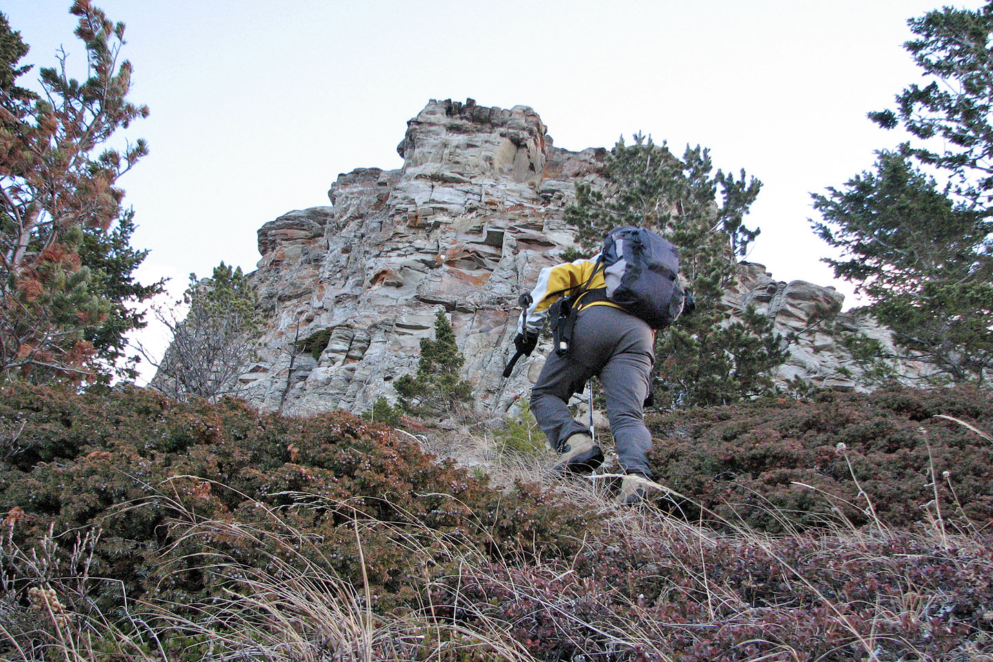
Hiking up the slope below the summit block

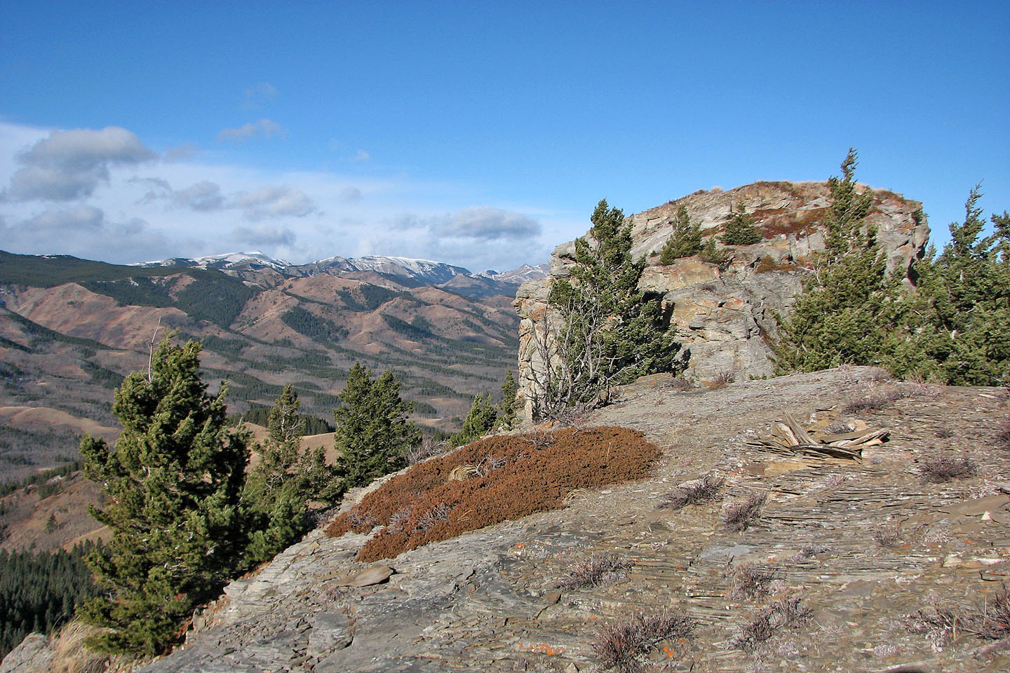
Looking northwest. The summit block is about 35 m high.
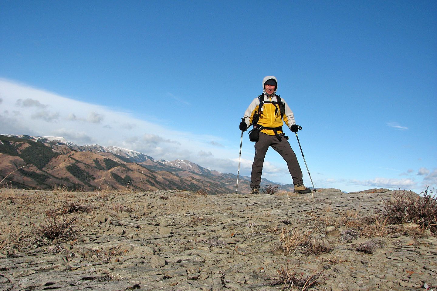
On the summit
The summit block is split in two. This is looking back at the higher north point.

Heading to the unnamed highest point on the ridge

Looking back at Chimney rock from the ridge
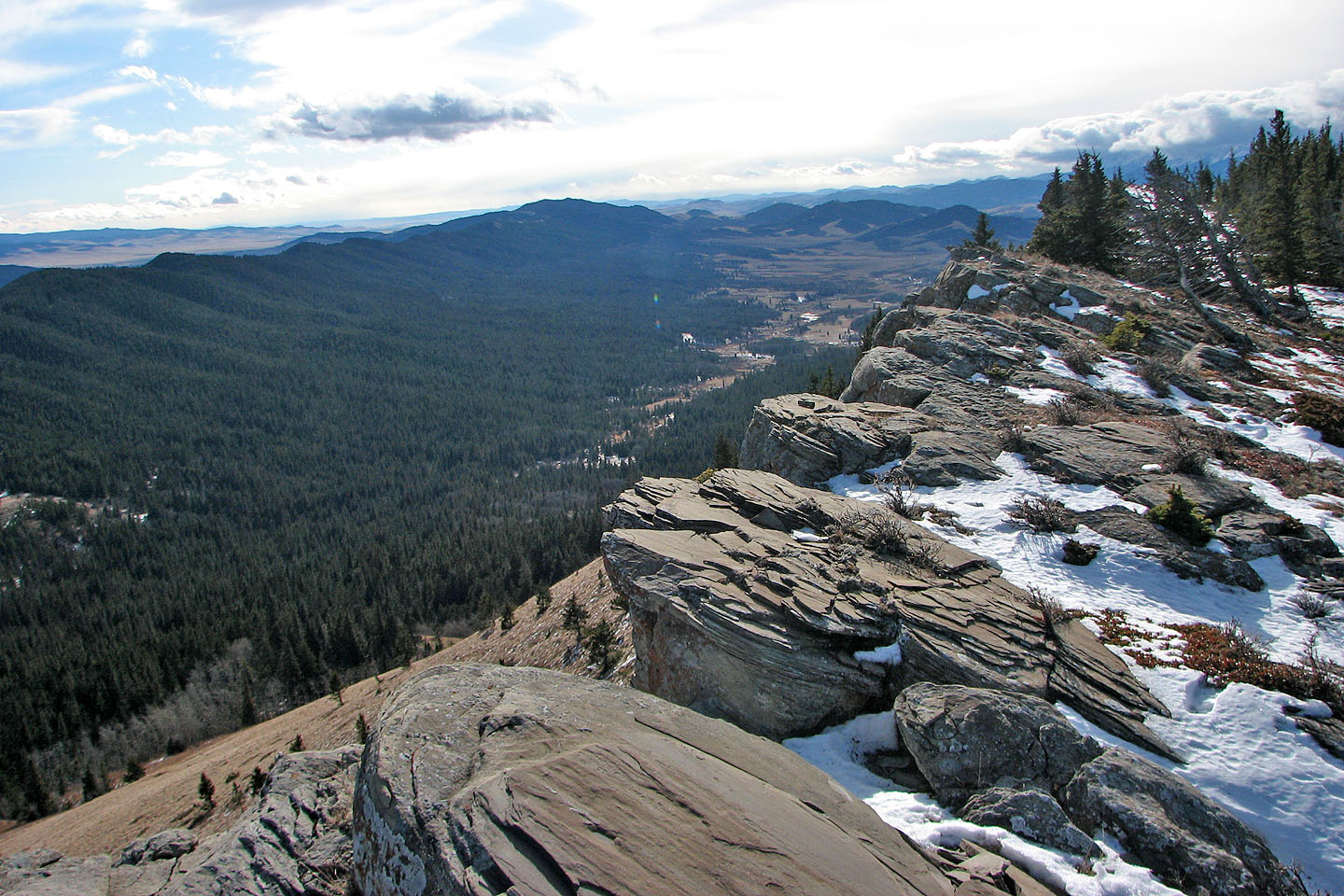
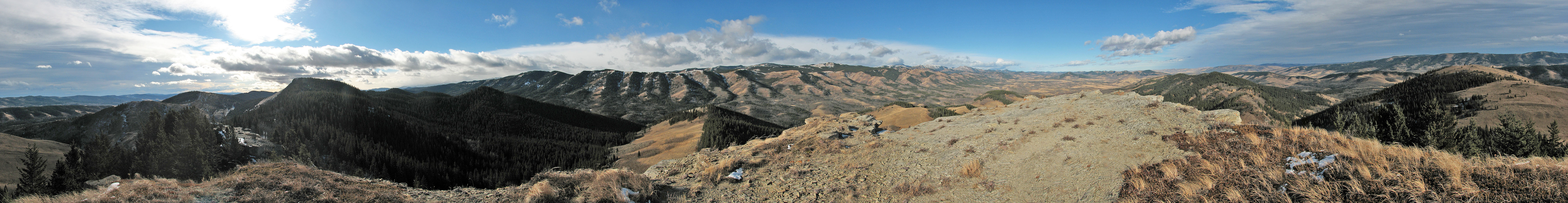
From the highest point on the ridge. Whaleback Ridge on the left.
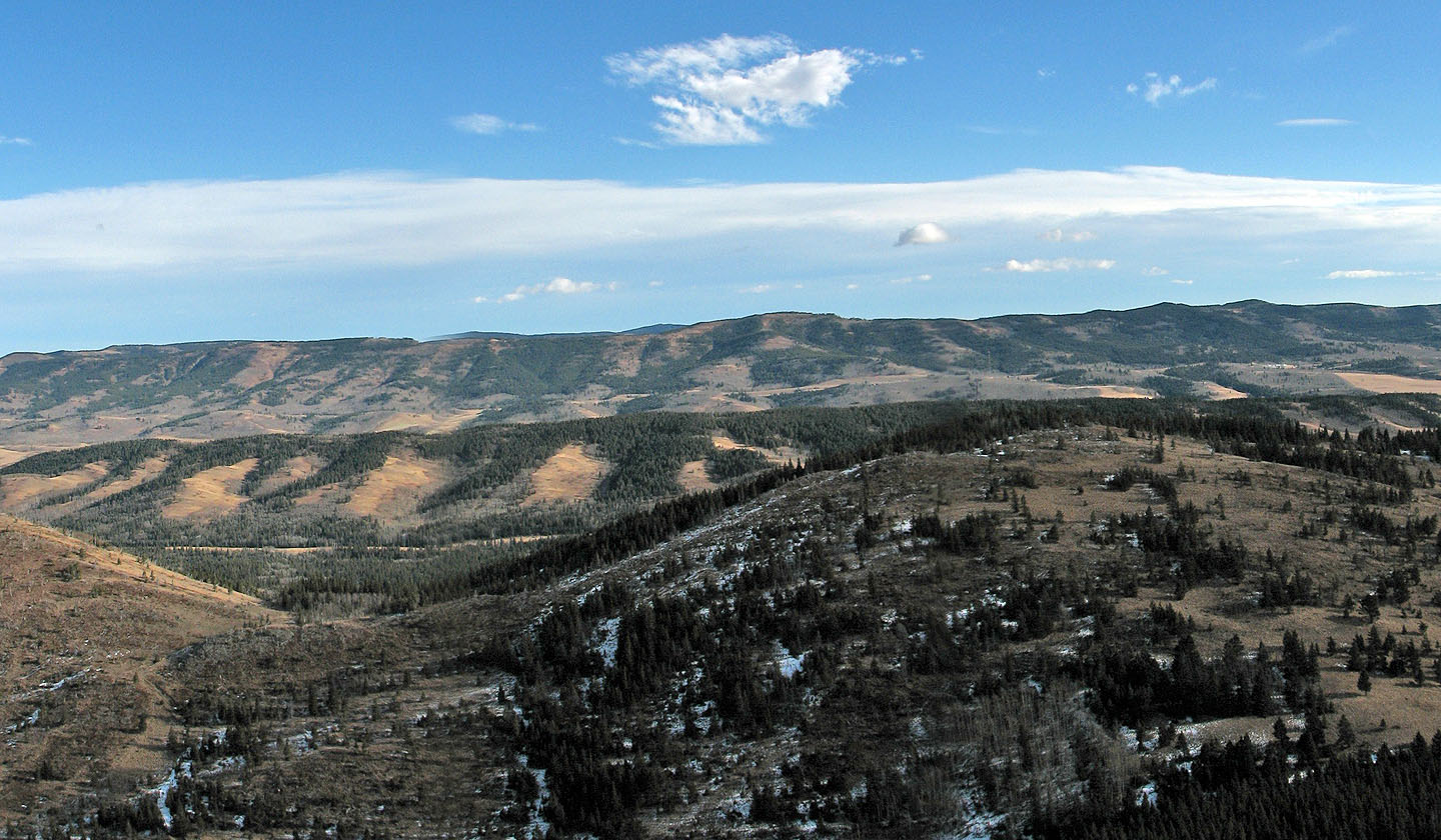
The summit of Whaleback Ridge is directly west of the high point
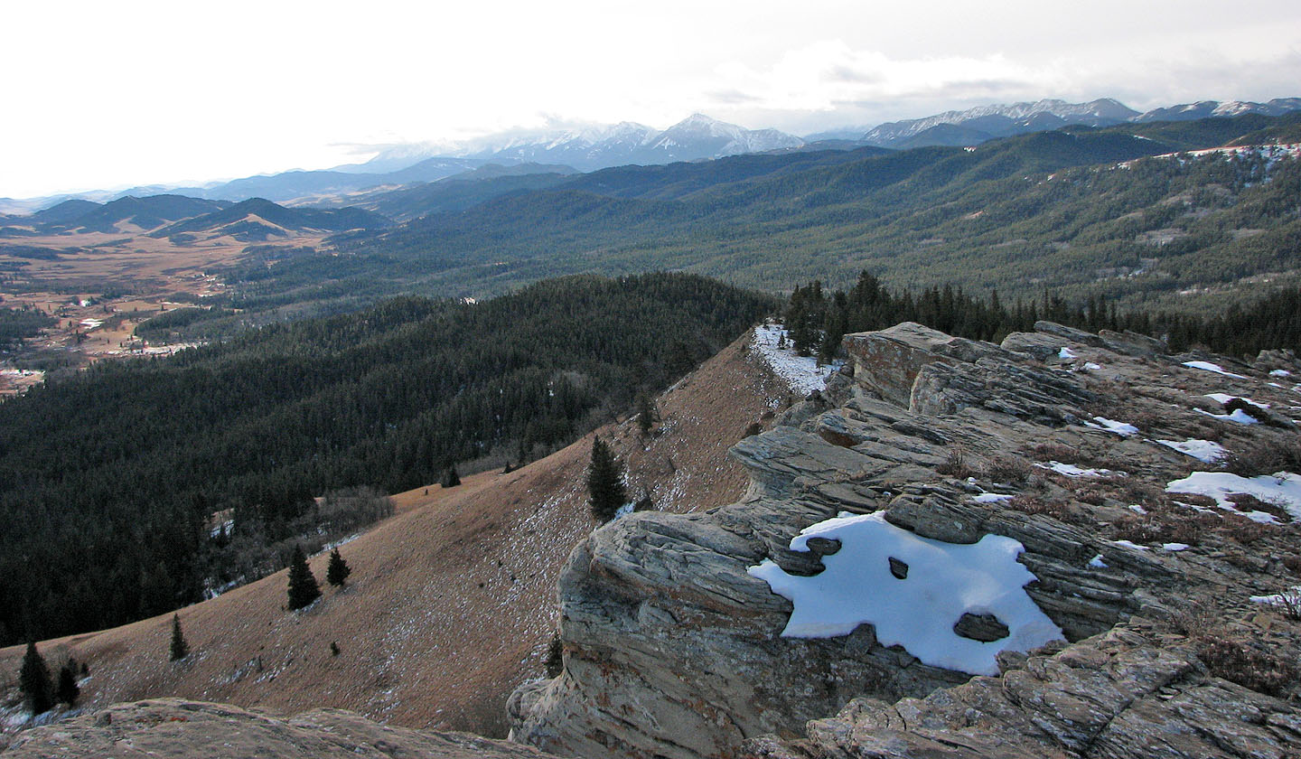
Looking southwest at Thunder Mountain and Livingstone Ridge

82 J/1 Langford Creek