bobspirko.ca | Home | Canada Trips | US Trips | Hiking | Snowshoeing | MAP | About

Mount Hornecker
Kananaskis, Alberta
November 22, 2014
Distance: 7.4 km (4.6 mi)
Cumulative Elevation Gain: 518 m (1699 ft)
Surrounded by taller and better-known peaks, Mount Hornecker presents a minor endeavour, but it was one peak that Sonny Bou and I hadn't climbed in the area.
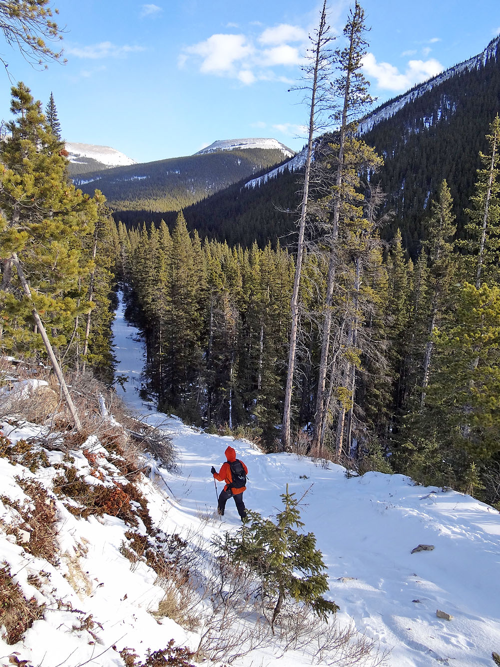
For the approach we used the logging road which runs alongside Mean Creek between an unnamed ridge and Mount Livingstone. We couldn't park next to the logging road, but we were able to pull off Hwy. 40 onto a level shoulder 100 m away, about 250 m south of the winter gate. We gathered our gear and set off up the snow-covered logging road.
After passing through a copse, the road twists up a clearcut to a rise. At the top of the rise, it drops down into the forest. From here until we reached the bare summit ridge, there would be little to see because of the uninterrupted trees, and little reason to pull out our cameras.
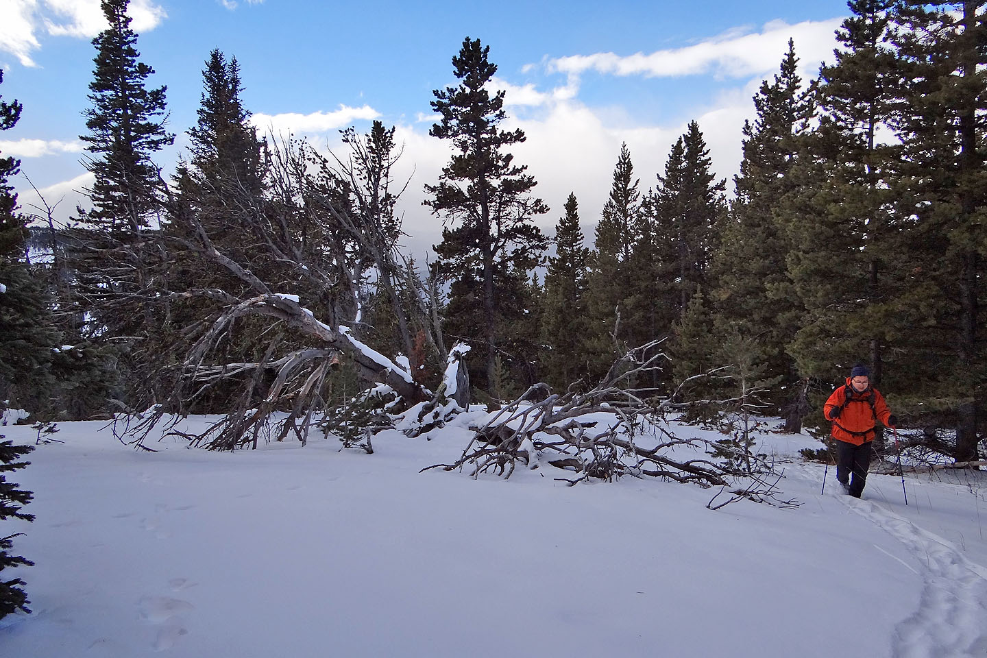
After 1.5 km the road quit. Continuing on, we crossed two creeks and moved easily through bushes and trees to reach the west ridge of Hornecker. Our hike up the ridge was pleasant enough – there was little understory or deadfall – but we were happy when we emerged onto the barren ridge where we could finally look around. Clouds veiled peaks west, but other compass points offered good views, such as east to nearby Saddle Mountain and north to distant Sentinel Peak.
But the blustery summit was no place to linger. After taking a bunch of photos so no one would doubt we made it to the top, we followed our footprints in the snow back, detouring briefly only to gaze down the steep south slope. It didn't look like a good way down.
Mount Hornecker is a short trip, perhaps better done when tacked onto bigger trips such as Windy Peak or Mount Livingstone. But if like Sonny and me you've done those peaks, it serves well as a late-season, half-day event.
KML and GPX Tracks
Sonny's Trip Report
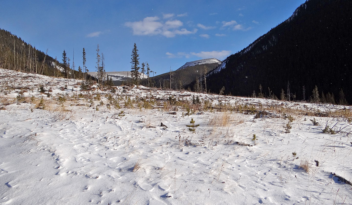
After hiking a few minutes up the logging road we reached the top of a
rise where we could see Mount Hornecker
Heading down the other side of the rise (mouse over for a close-up of Hornecker)
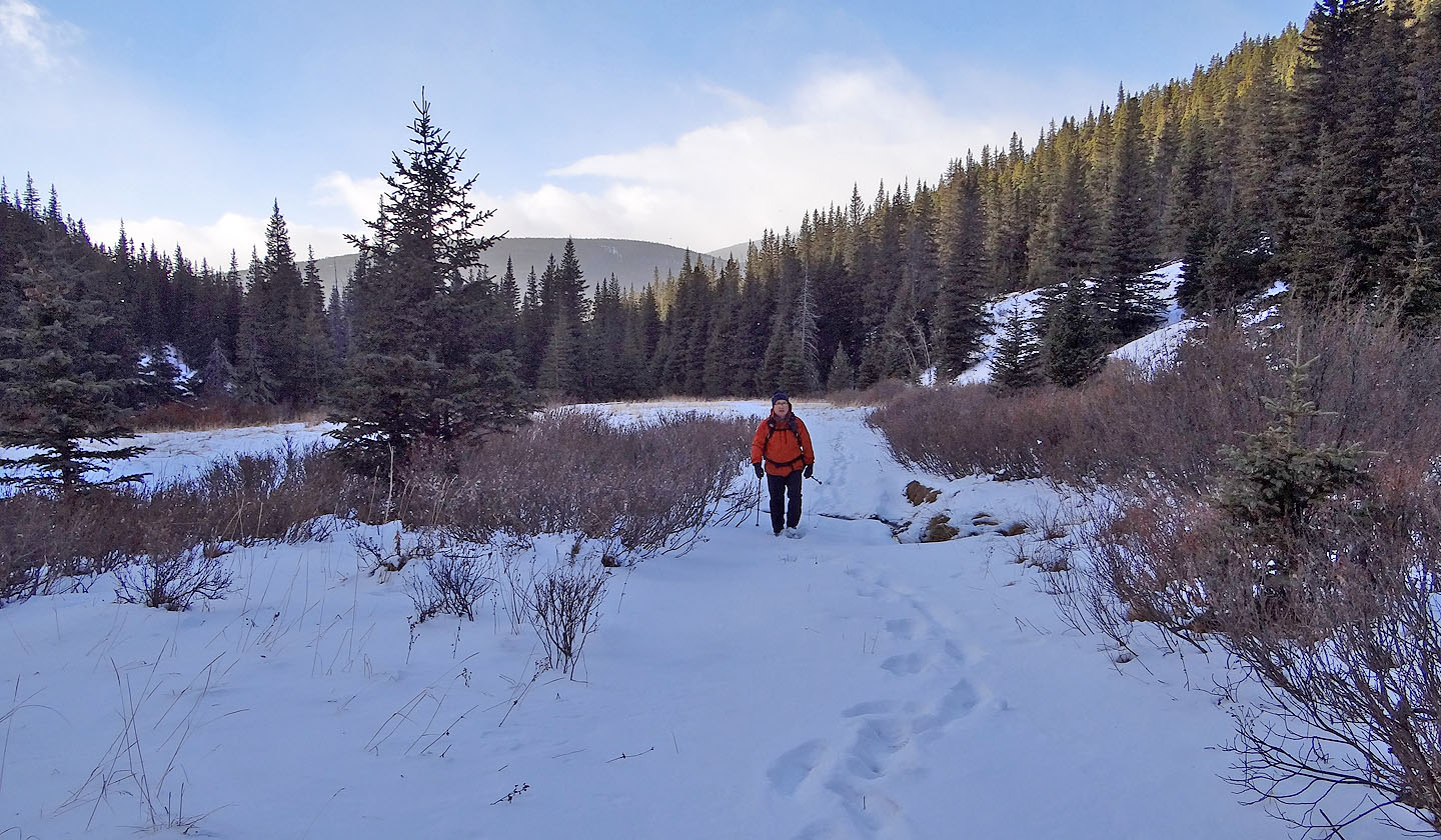
Looking back along the road where it passed a clearing
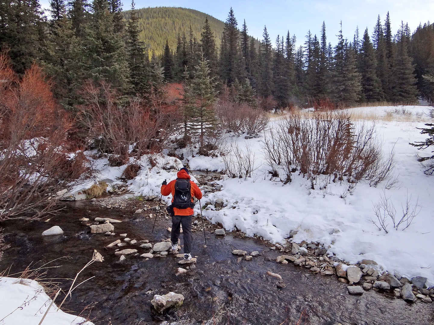
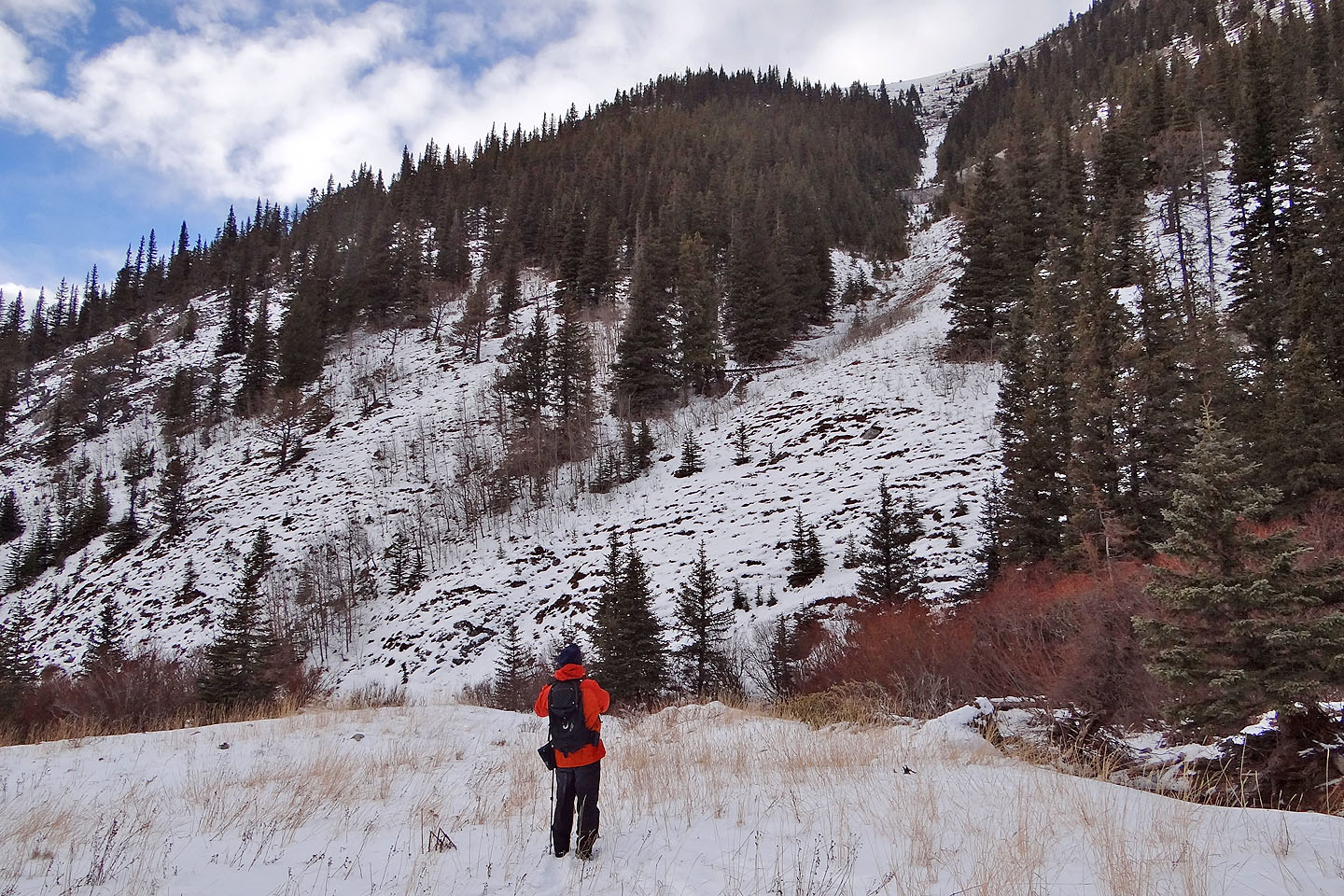
Mean Creek kindly let us cross it. Ahead are the forested lower slopes of Hornecker.
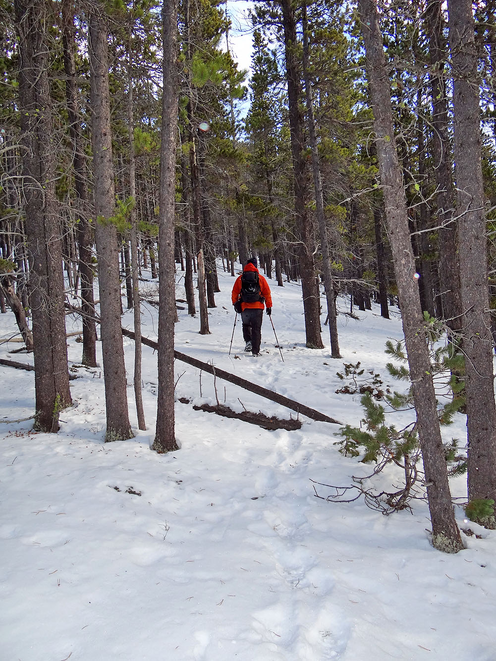
Starting up the ridge
This was the only noteworthy glade that we found. Since it was
windy on the summit, we returned here to take a break.
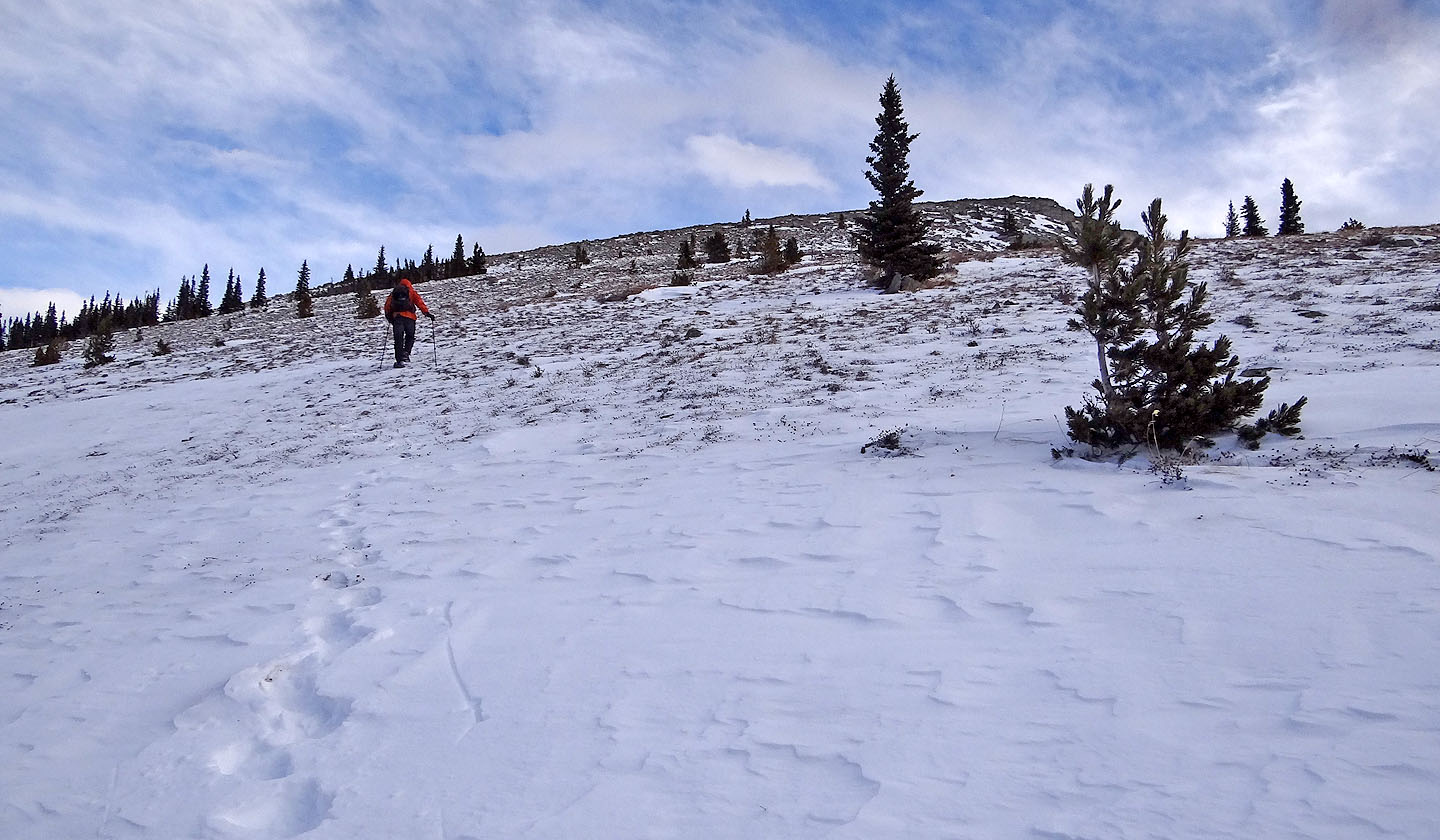
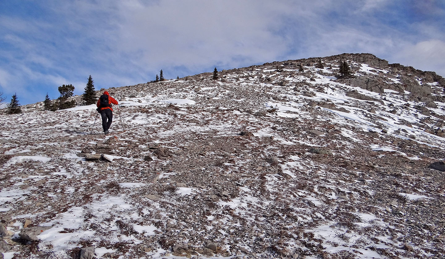
After exiting the trees we started up the summit ridge
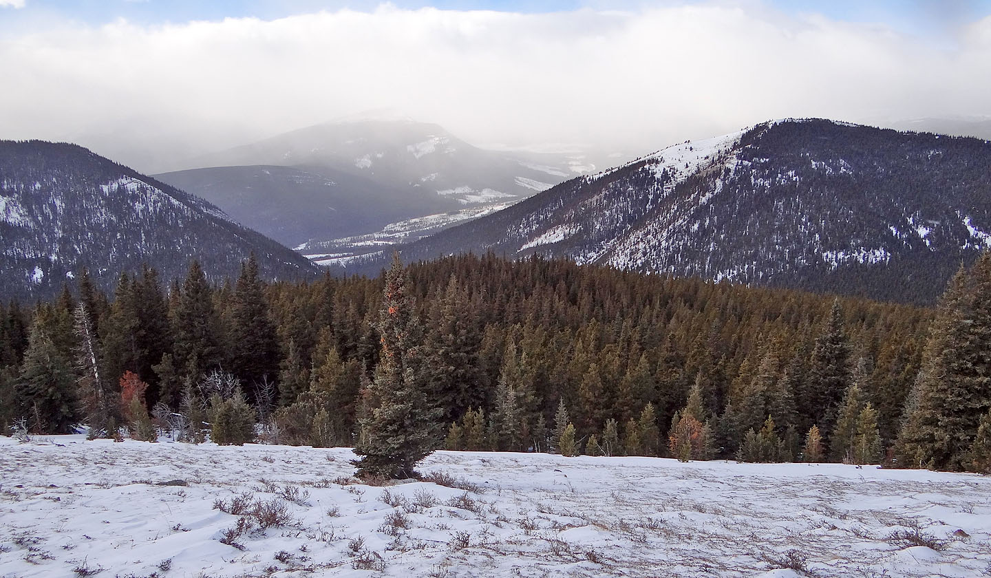
Behind us through a mountain gap, we could barely see Isola Peak. Despite being only a few
kilometres west, it remained hidden in cloud throughout our trip while Hornecker enjoyed mostly clear skies.
The false summit is ahead but the true summit isn't far away
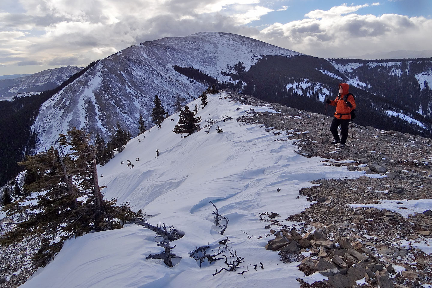
From the summit ridge we can see the round hump of of Mount Livingstone
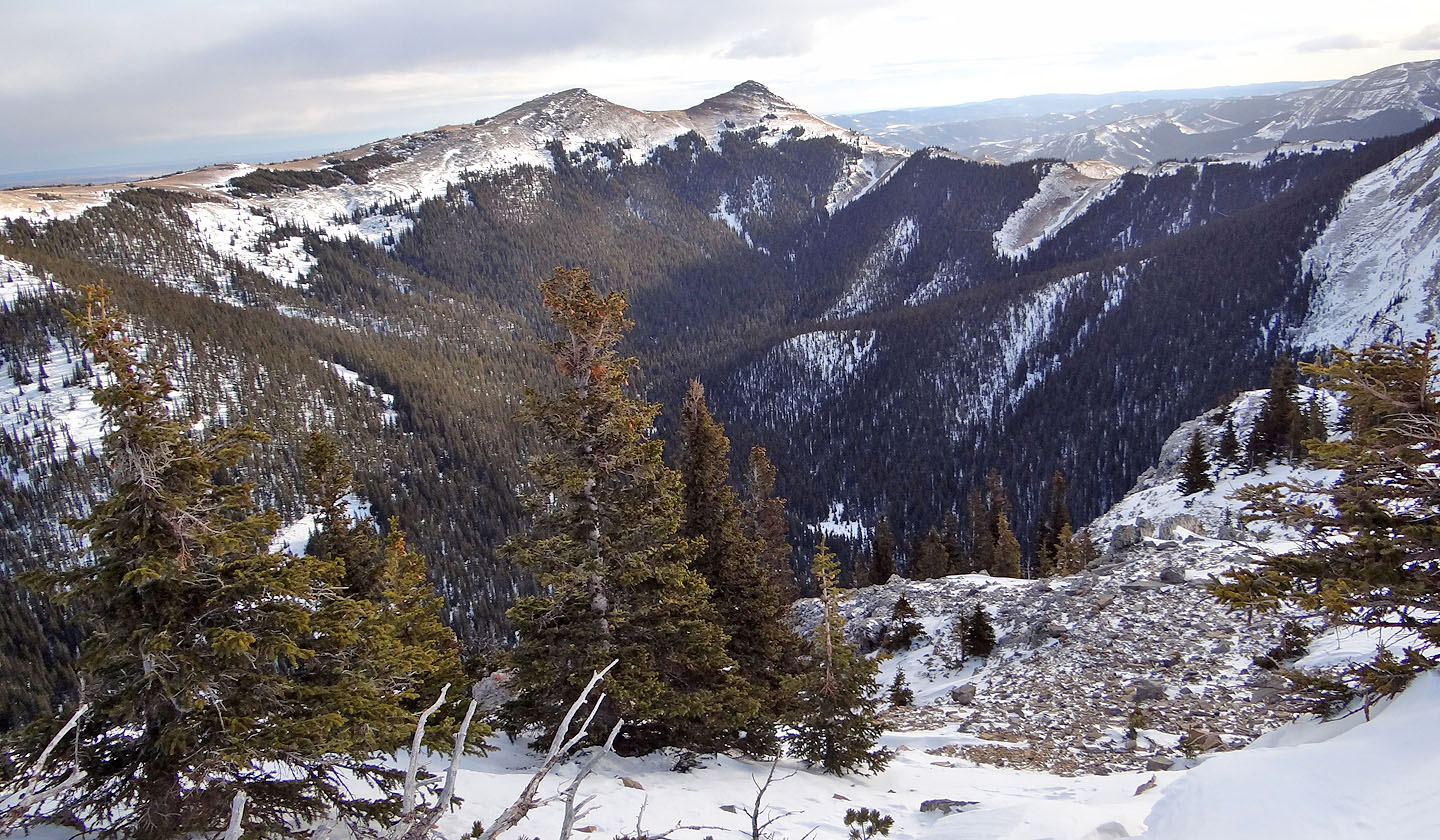
Immediately east is Saddle Mountain (mouse over for a close-up)
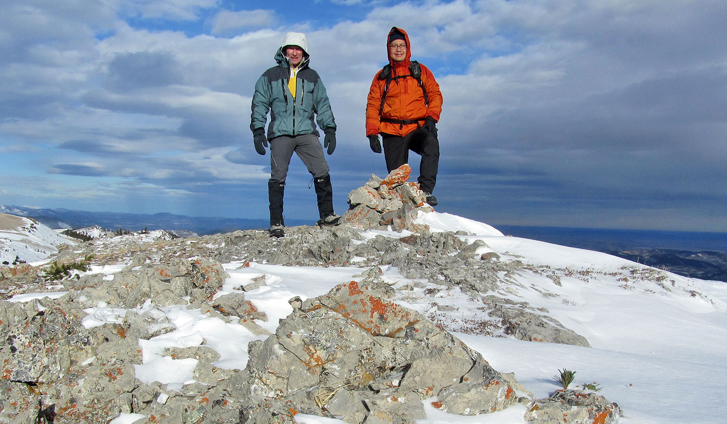
Posing by the summit cairn
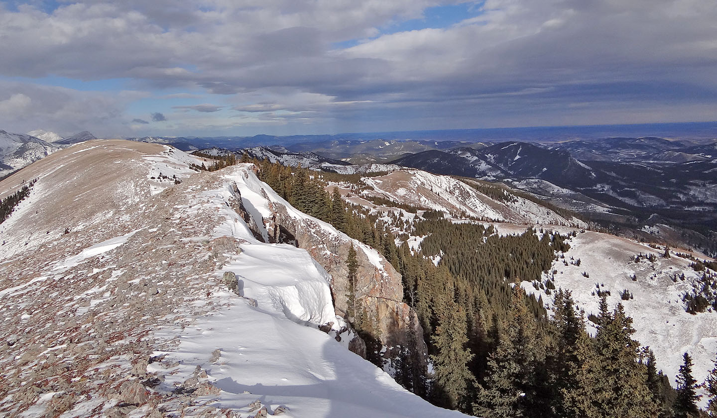
Looking north along the ridge
On the way back, just before crossing Mean Creek, we noticed an odd-looking wall of rock that
cuts across a slope partway up the unnamed ridge (mouse over for a close-up)
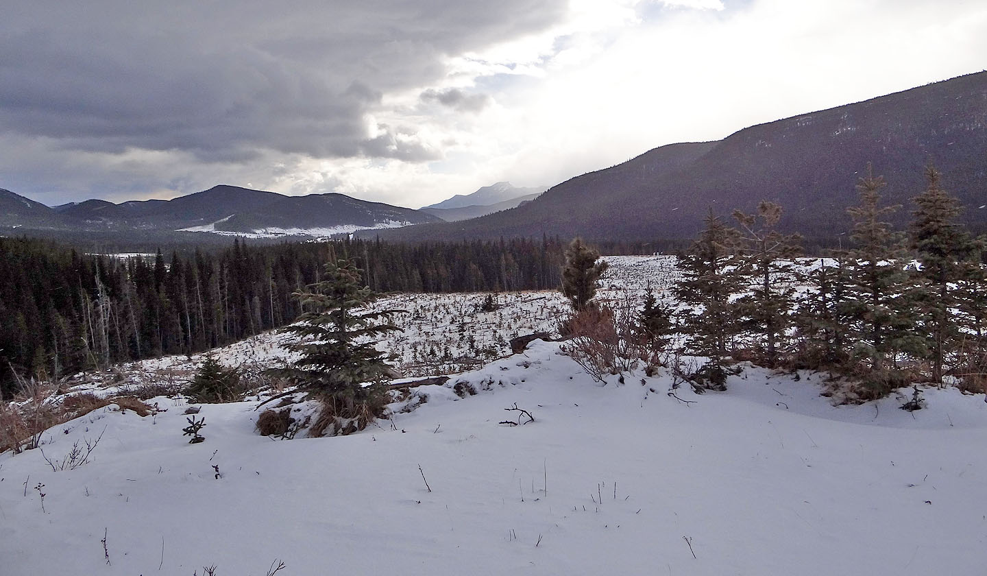
Back at the clearcut, looking south

82 J/1 Langford Creek