bobspirko.ca | Home | Canada Trips | US Trips | Hiking | Snowshoeing | MAP | About
Survey Peak
Banff National Park, Alberta
July 20, 2013
Distance: 18.1 km (11.2 mi)
Cumulative Elevation Gain: 1390 m (4560 ft)
After appearing in Andrew Nugara's Snowshoeing in the Canadian Rockies, Survey Peak has garnered some attention as a worthwhile winter climb, one that brings glaciated peaks into close view. But Taras Kurylo asked me, “Why not do it as a summer ascent?” Why not. A good trail – the Glacier Lake Trail near Saskatchewan Crossing – winds along its base, while easily-ascended rubble tops off the mountain. Uncertainty lay only in the mid-slopes. The east ridge provides a gentle grade through trees, but we didn't know how bad the bushwhacking would be in the summer. On the other hand, the south slopes appeared promising – possibly free of trees because of avalanche paths – but are steep and riddled with rock bands.
I wanted to try the east ridge while Taras favoured the south slopes. So we agreed to do both: we would ascend the east ridge and descend the south slopes. My partner Dinah and Taras' friend Jeff Shaw agreed to participate in our scheme.
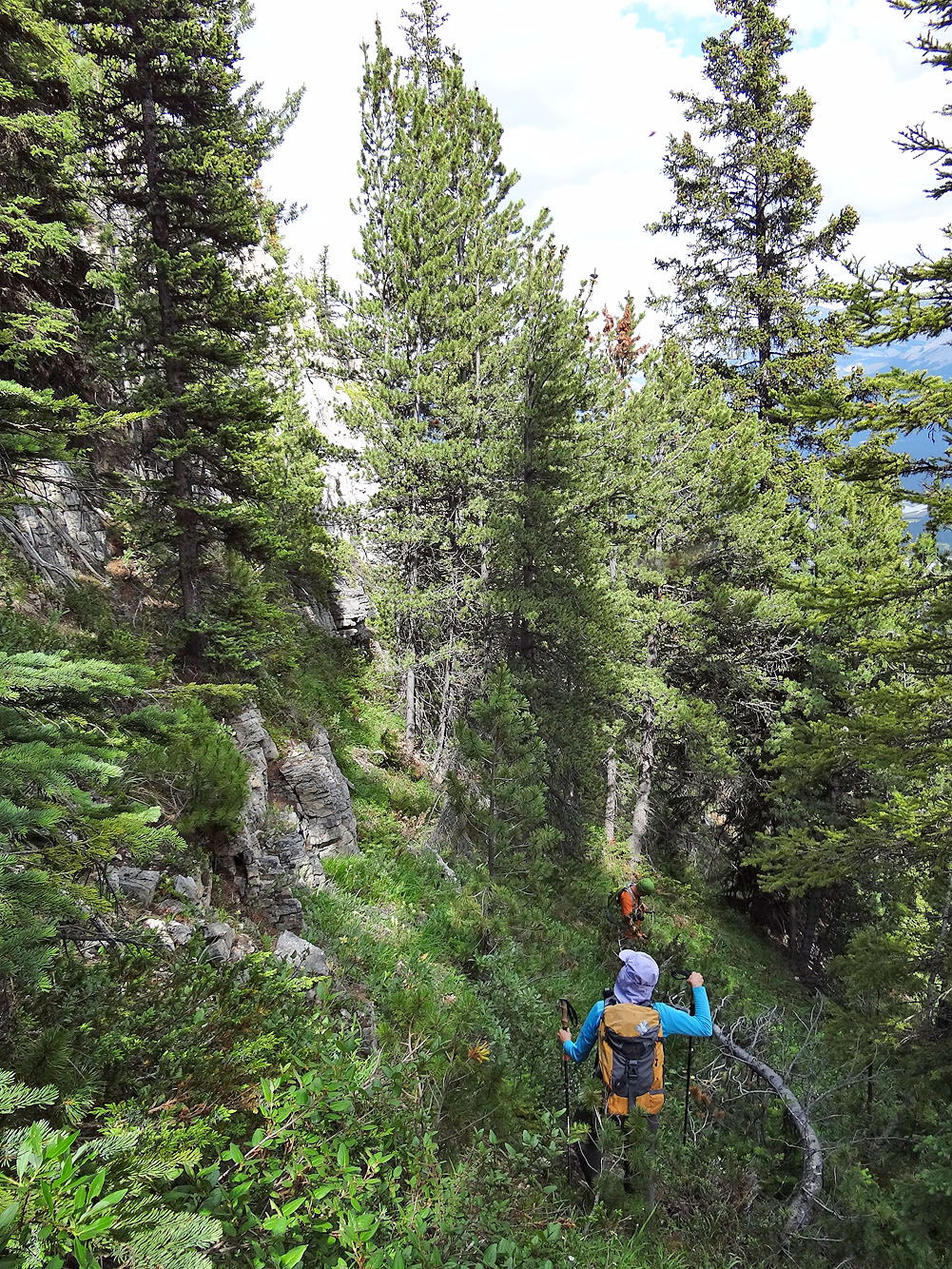
Loosely following Vern Dewit's snowshoe ascent, we hiked 40 minutes up Glacier Lake trail to a faint side trail. We followed this trail briefly before leaving it. At first the vegetation was light, but soon it closed in on us. There was hardly a square foot of forest floor that wasn't occupied by trees, bushes or deadfall. We took no breaks as few clearings were large enough to accommodate two people let alone four. So we pushed on, over logs, through trees and bushes, getting scratched as we went. The amorphous ridge provided few clues to our position, so we relied on GPS to stay on track. All the while, clouds of mosquitos kept us company.
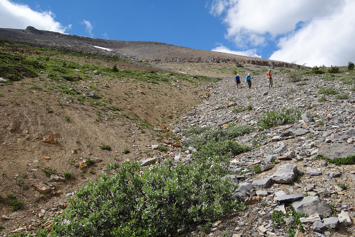
The bushwhacking was the longest any of us had done. Three insufferable hours after stepping off the trail, we finally stumbled out of the forest onto an open slope. Ahead of us, the route took in a gentle shoulder before rising steeply to Survey's rocky summit 400 m above us. We traversed the shoulder and made our way up a talus slope to the top.
We forgot about our agonizing forest ascent as we spent half an hour taking in the alpine scenery from the summit. Then it came time to discuss our descent route. We didn't know the nature of the south slope, but we didn't think it could be worse than the east ridge. We were wrong.
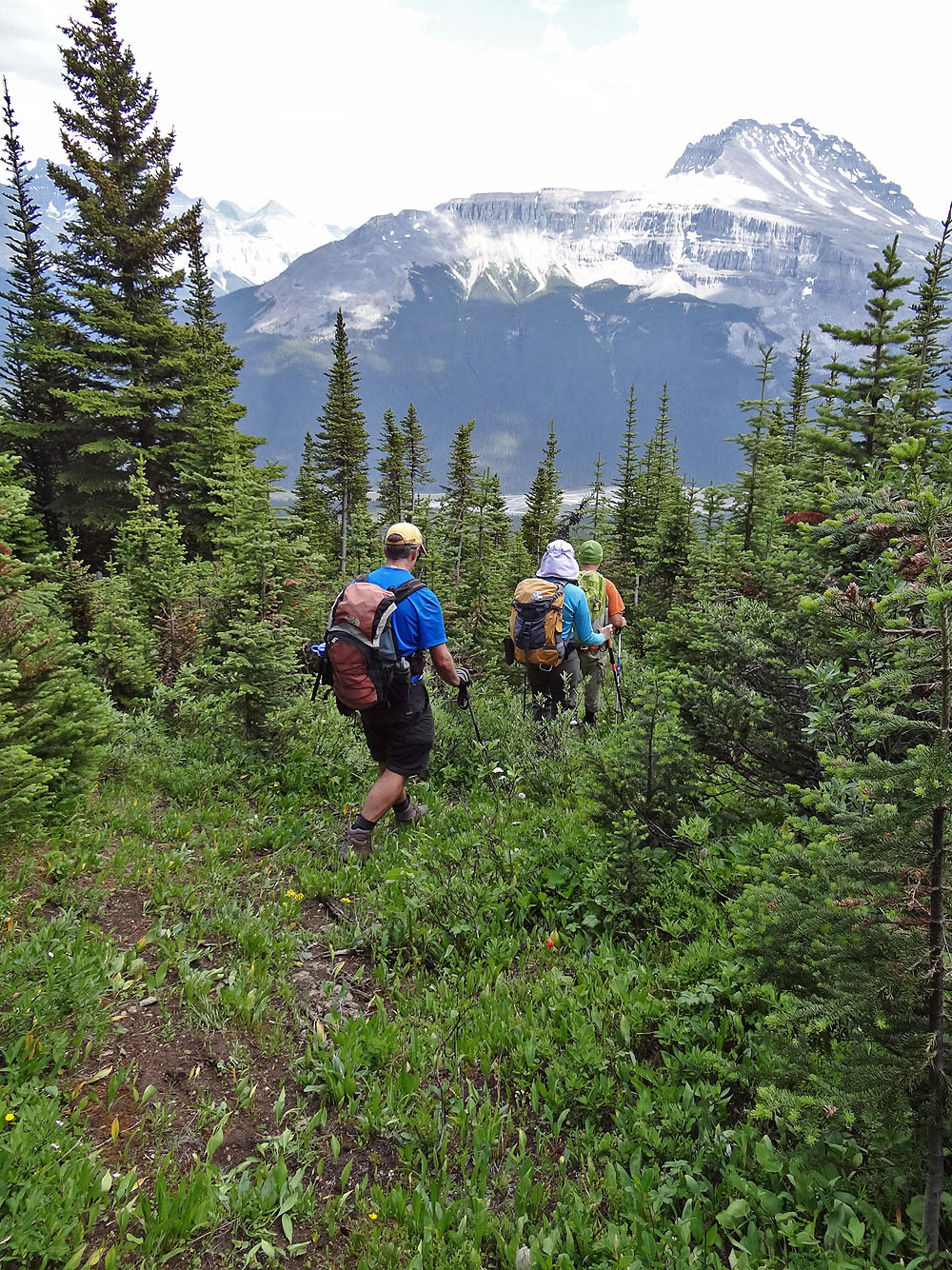
From the summit, we quickly dropped down the talus and scree slopes before arriving at the treeline. Dense bushes and short trees soon gave way to tall trees so it became difficult to distinguish the avalanche path from the forest. Taras used his GPS receiver to guide us down. The route worked well for a time then our difficulties increased as the grade steepened and rock bands, hidden in the trees, appeared. Nonetheless, Taras expertly led us down through it all. We were able to drop down between all the cliffs except one, which we scrambled down. After leaving the last cliff band behind, we needed only to thrash through more trees, bushes and deadfall to reach Glacier Lake trail. Having trained all morning, we should have been prepared for more bushwhacking. In truth, we were sick of it. We were elated to get back on the trail.
For many mountain trips, memories of the hardships quickly dim while the highlights brighten. As we drove back to Calgary, now relaxed and seated comfortably, poking fun at our travails, satisfaction began to sink in: the satisfaction of having climbed Survey Peak.
Postscript: Since doing Survey Peak, a flagged, nascent trail has made the ascent easier.
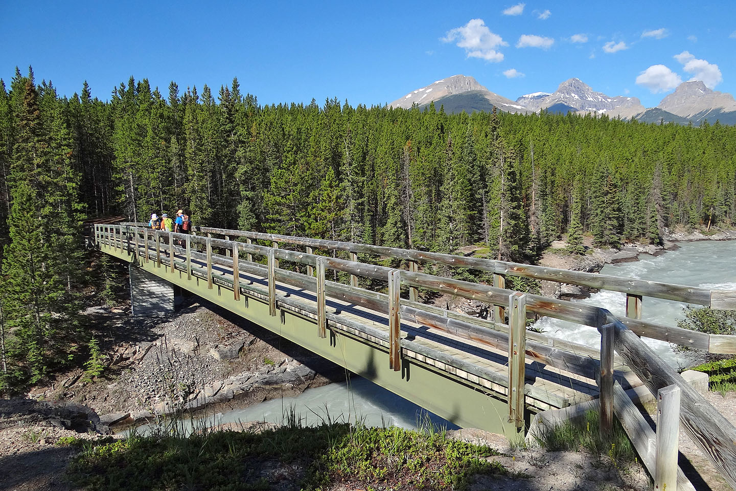
Crossing the bridge over the Saskatchewan River. Survey Peak centre right.
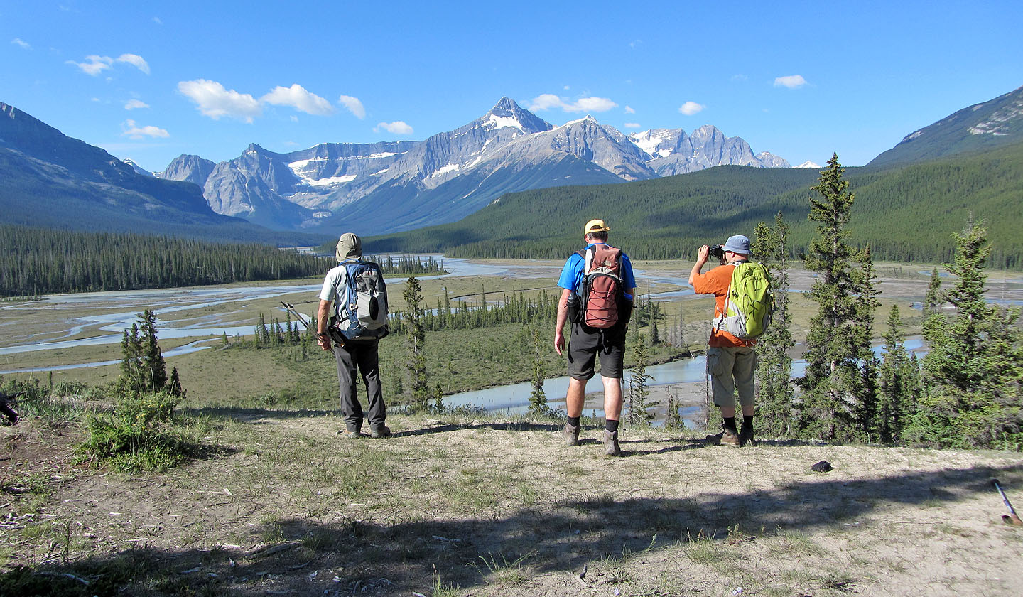
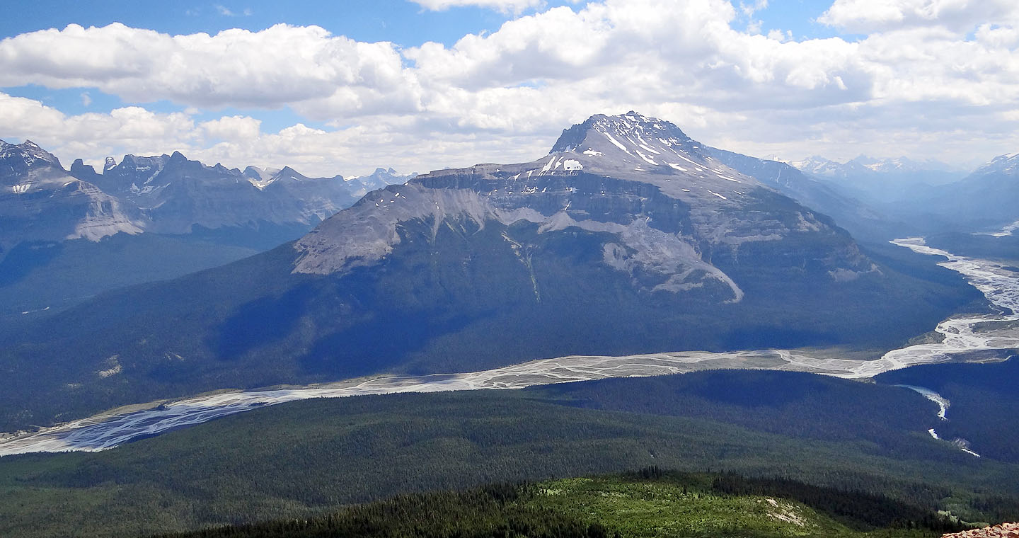
Howse River overlook
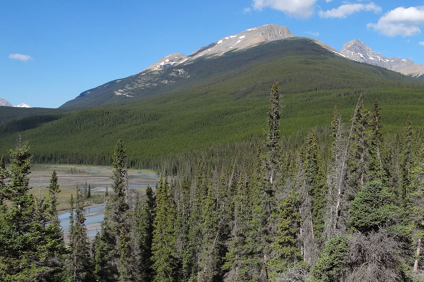
Survey Peak. Note the rock bands on the lower slopes.
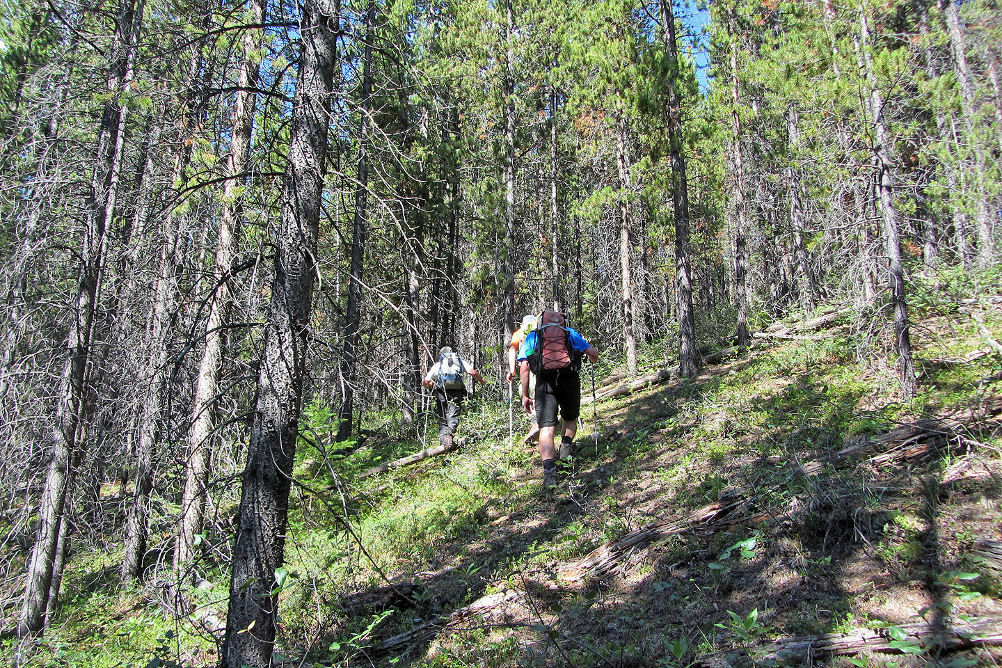
Starting up the side trail
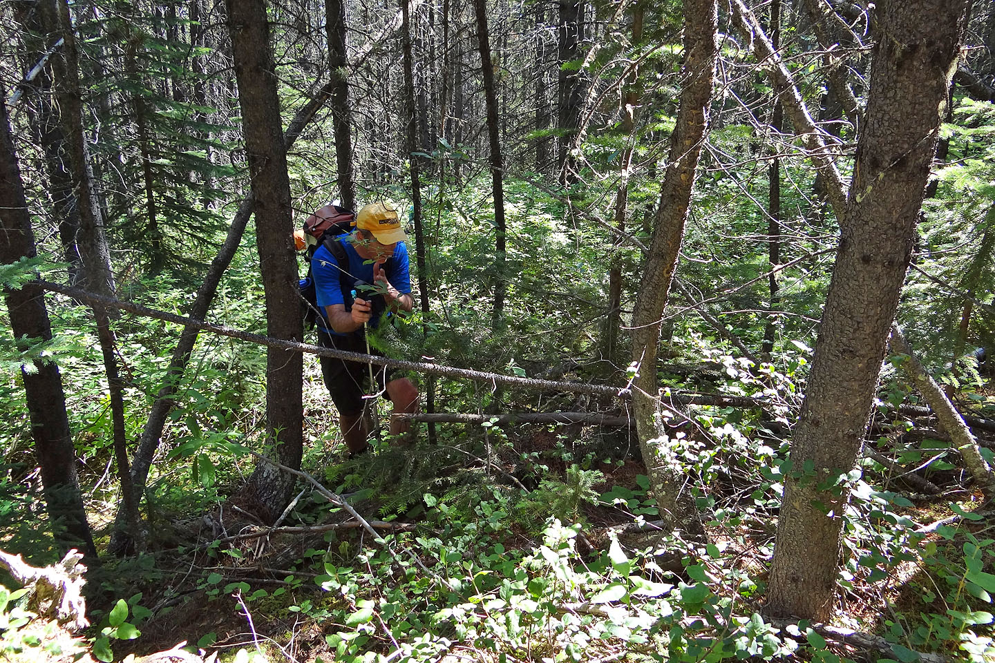
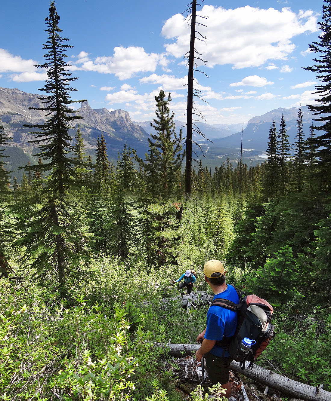
Mostly we bushwhacked through this
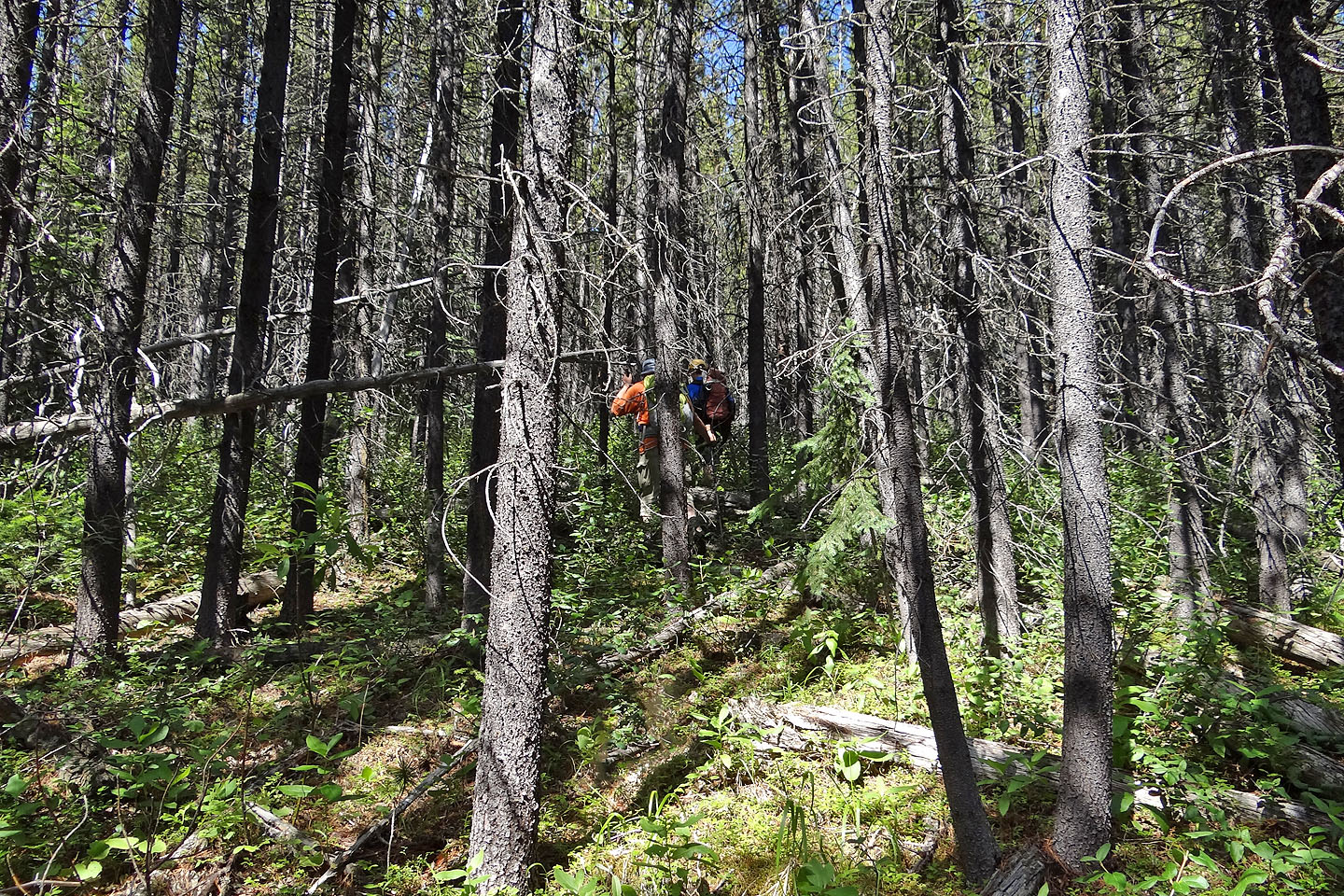
There seemed no end to it
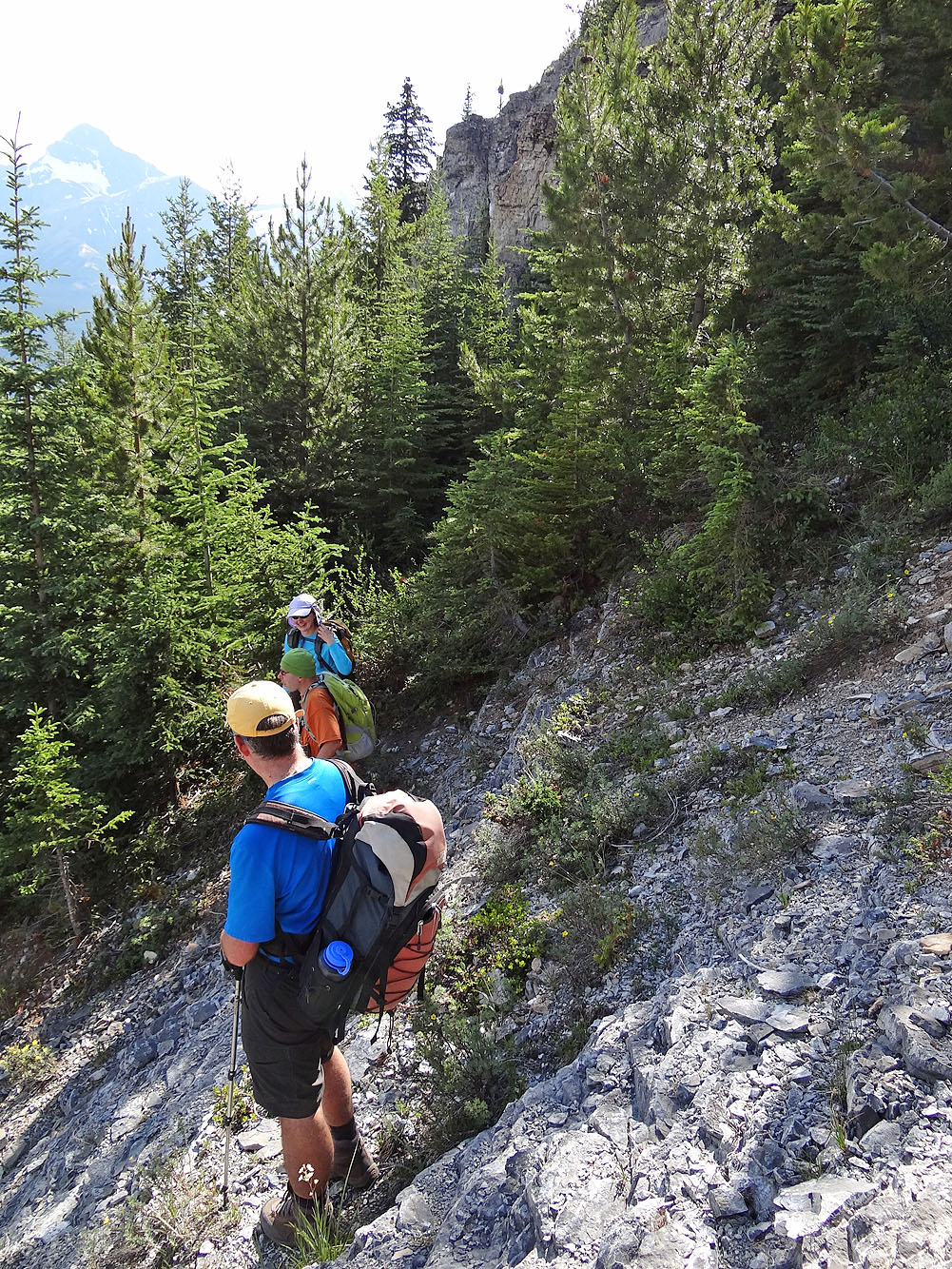
Higher up we reached an overgrown avalanche path
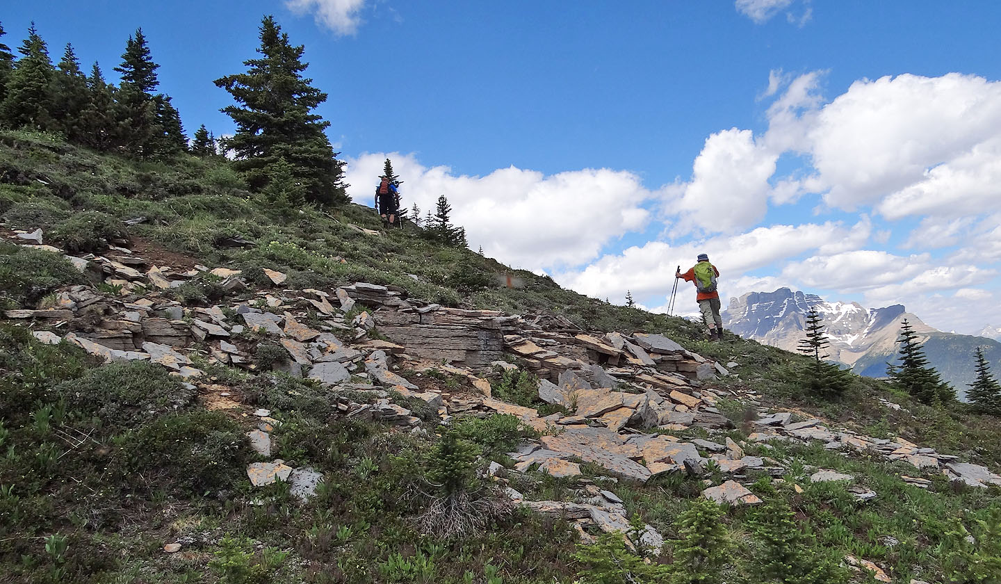
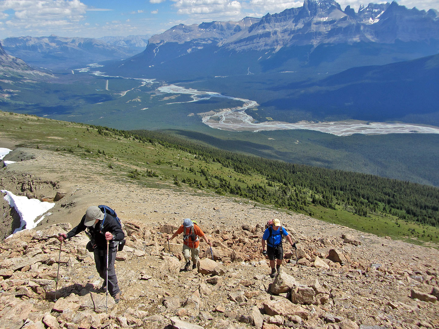
Finally out of the trees
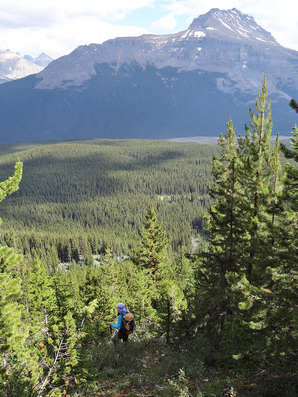
Mount Murchison in the background
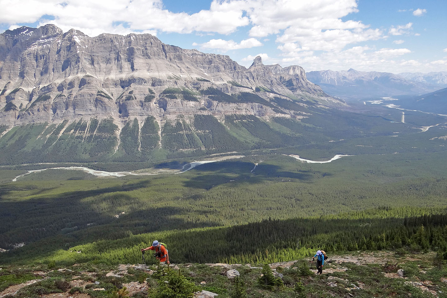
Heading to the summit
Mount Sarbach
Looking back after reaching the rubble below the summit
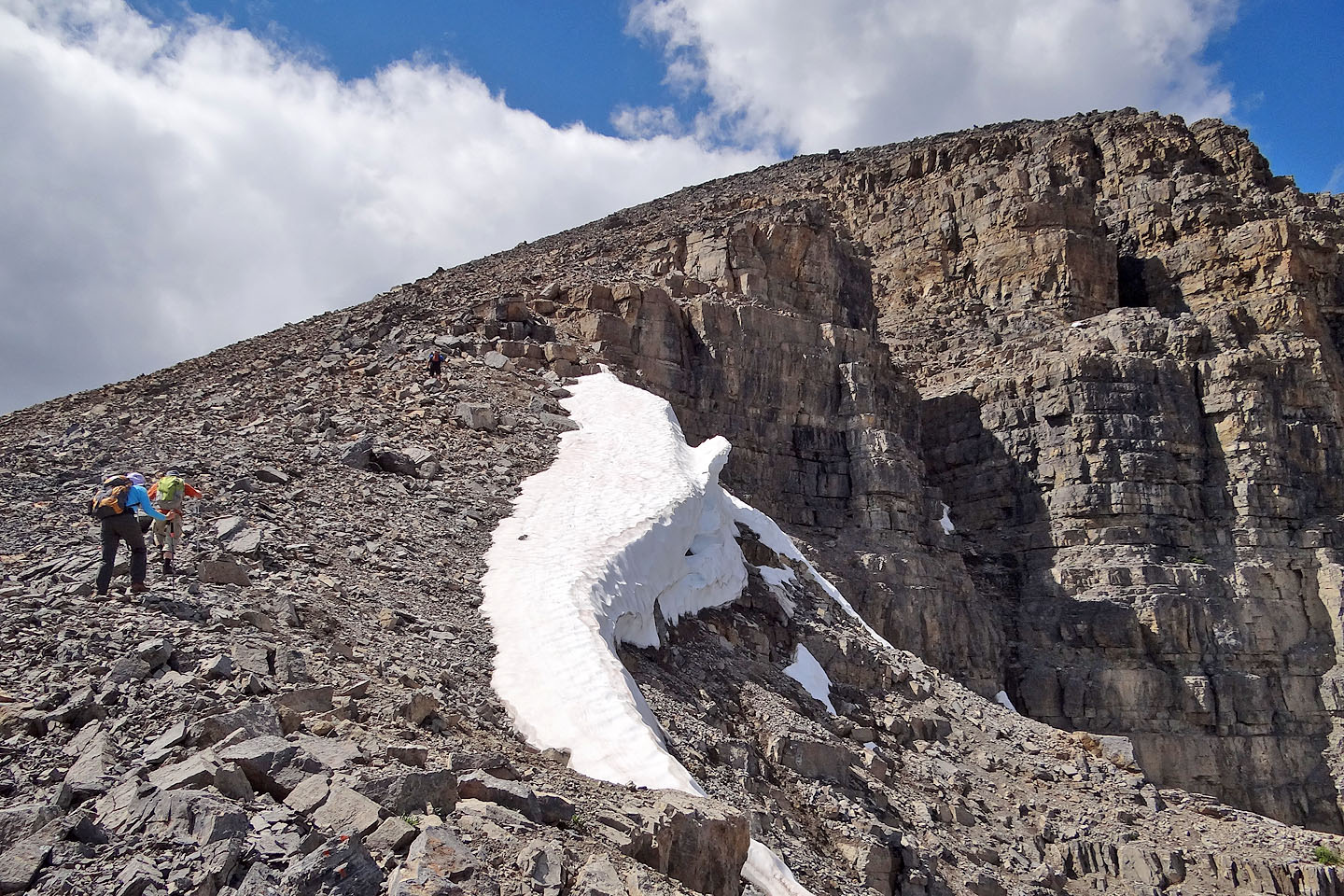
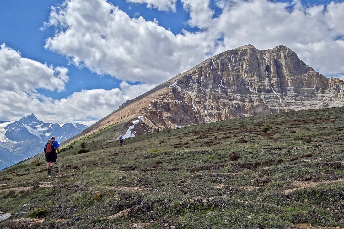
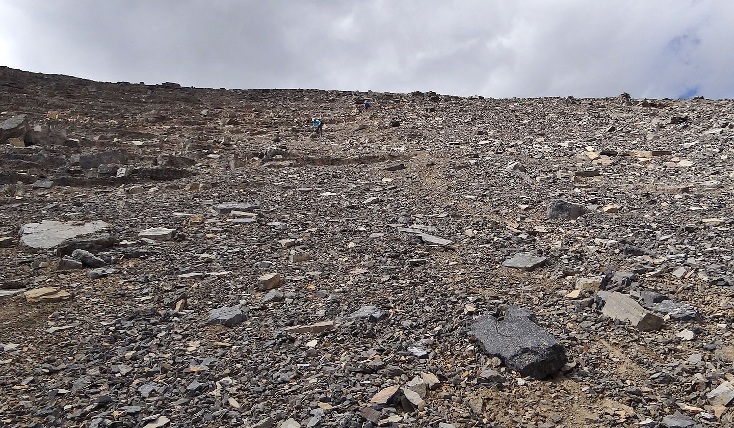
Going up the last 250 m to the summit
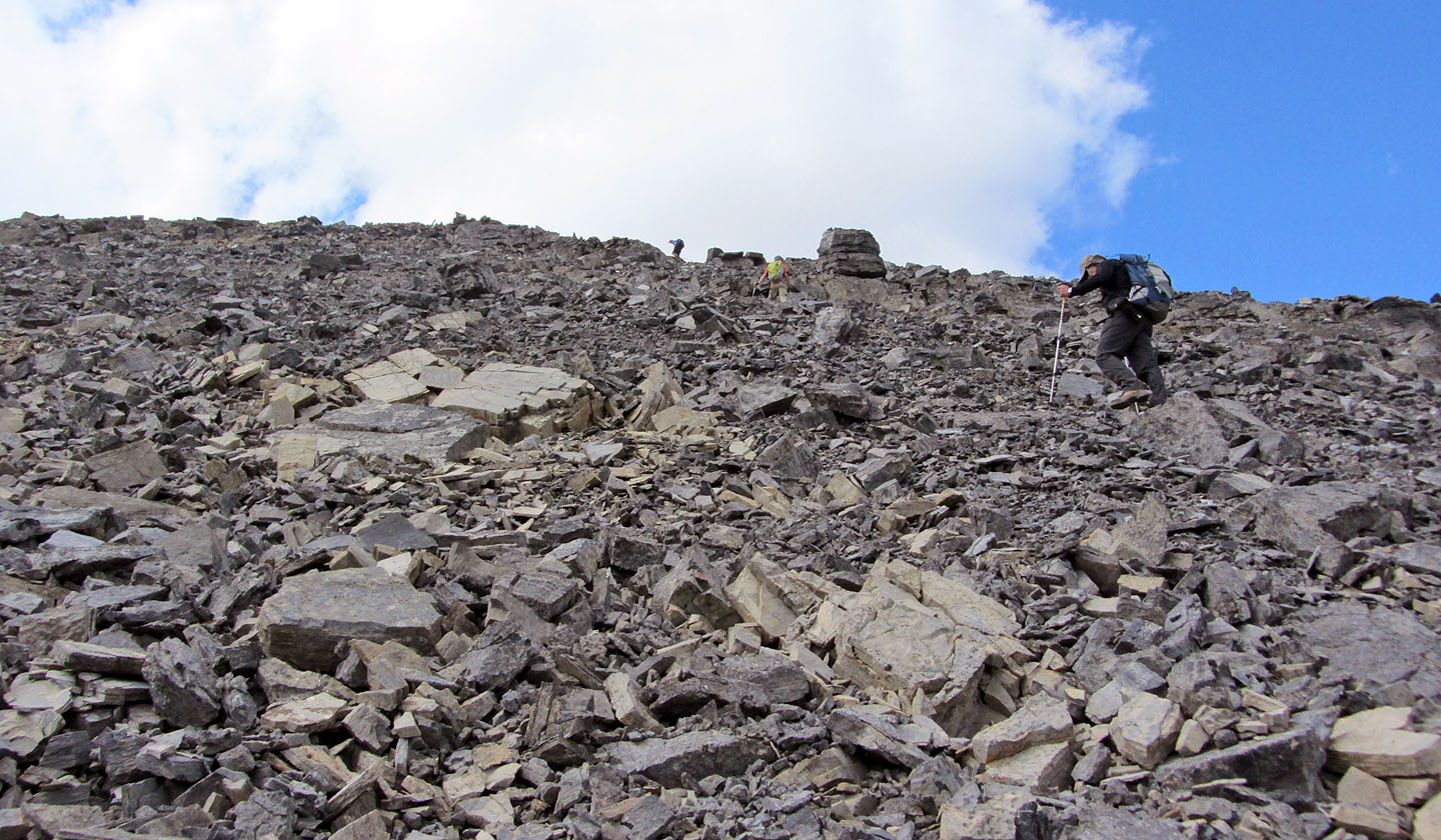
A slow grind to the top
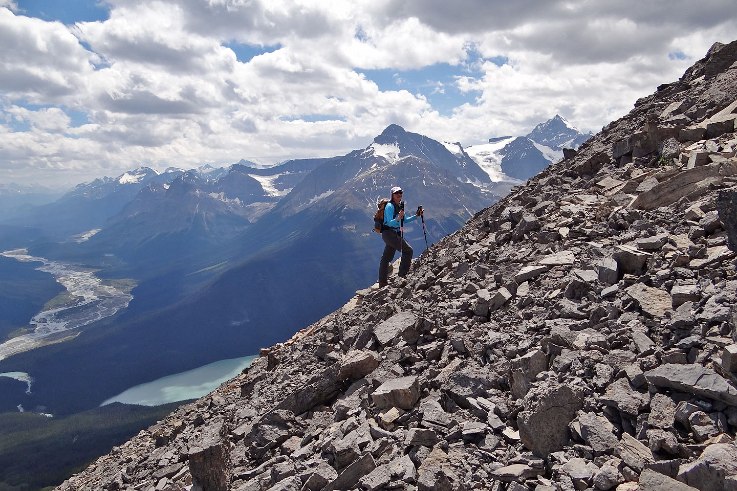
Mount Outram rises behind Dinah while Glacier Lake sits far below
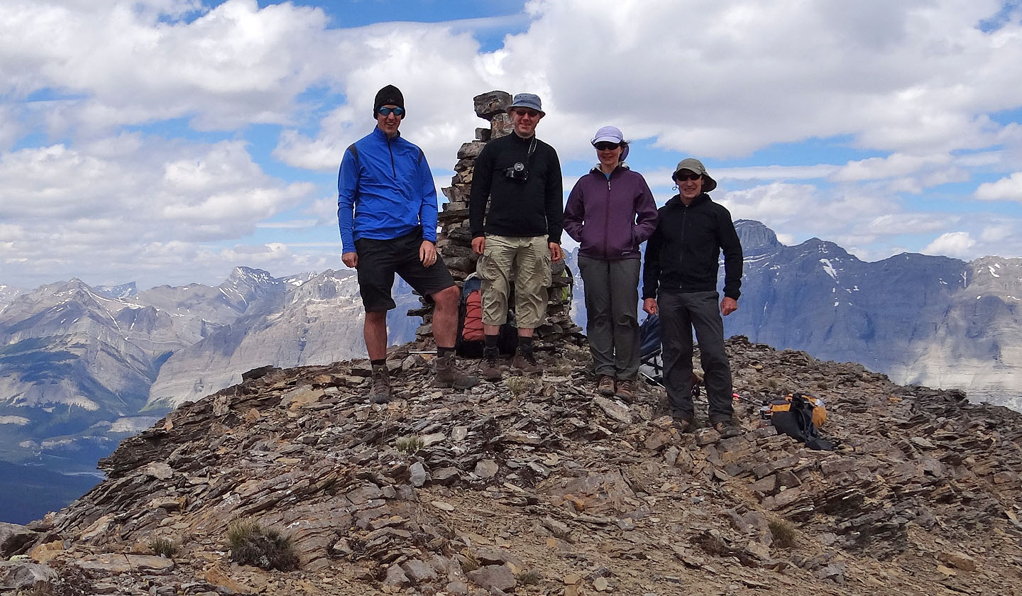
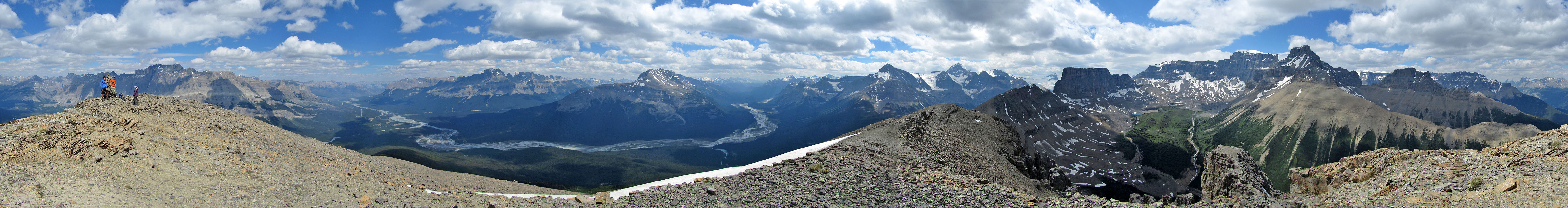
Jeff, Taras, Dinah and I stand next to the enormous summit cairn
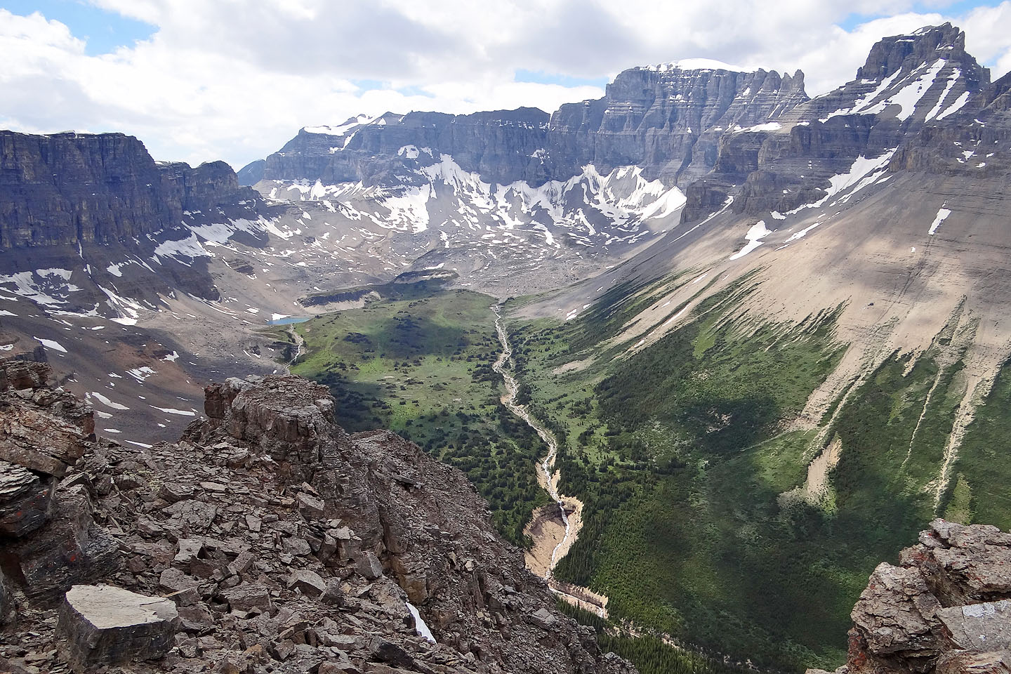
A beautiful hanging valley stretches in front of Mount Eramus
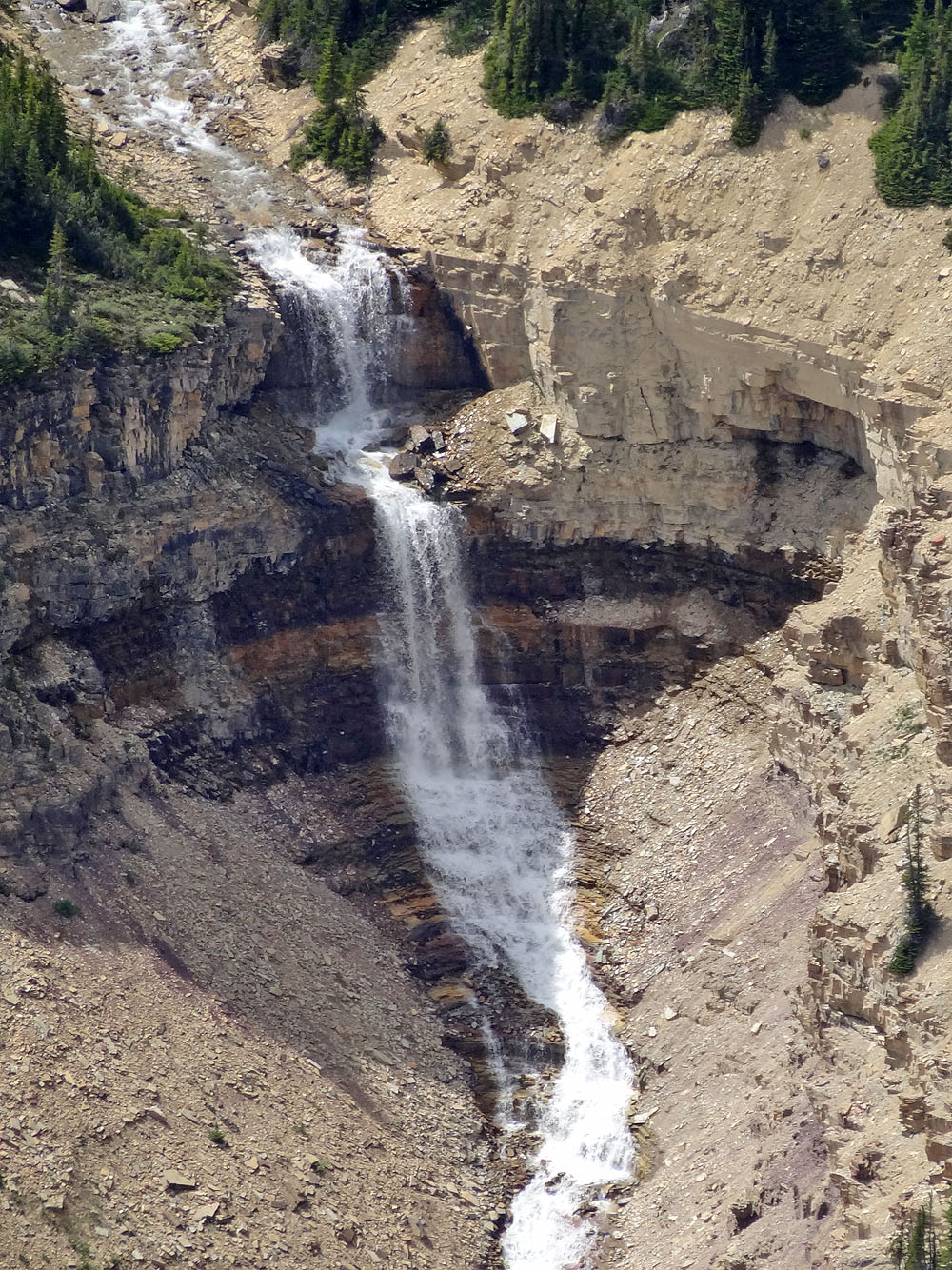
A close-up of the
impressive waterfall sitting below the valley
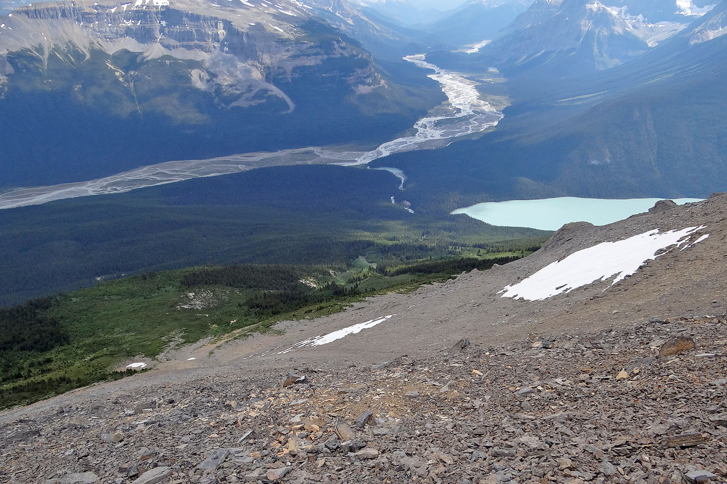
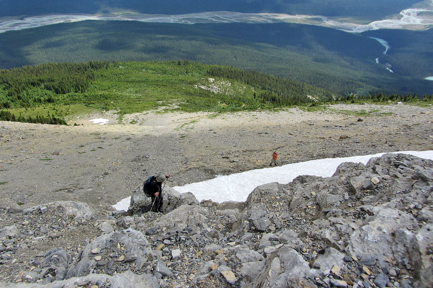
Looking down at our descent slope
Looking back as Dinah comes down
Negotiating a cliff band
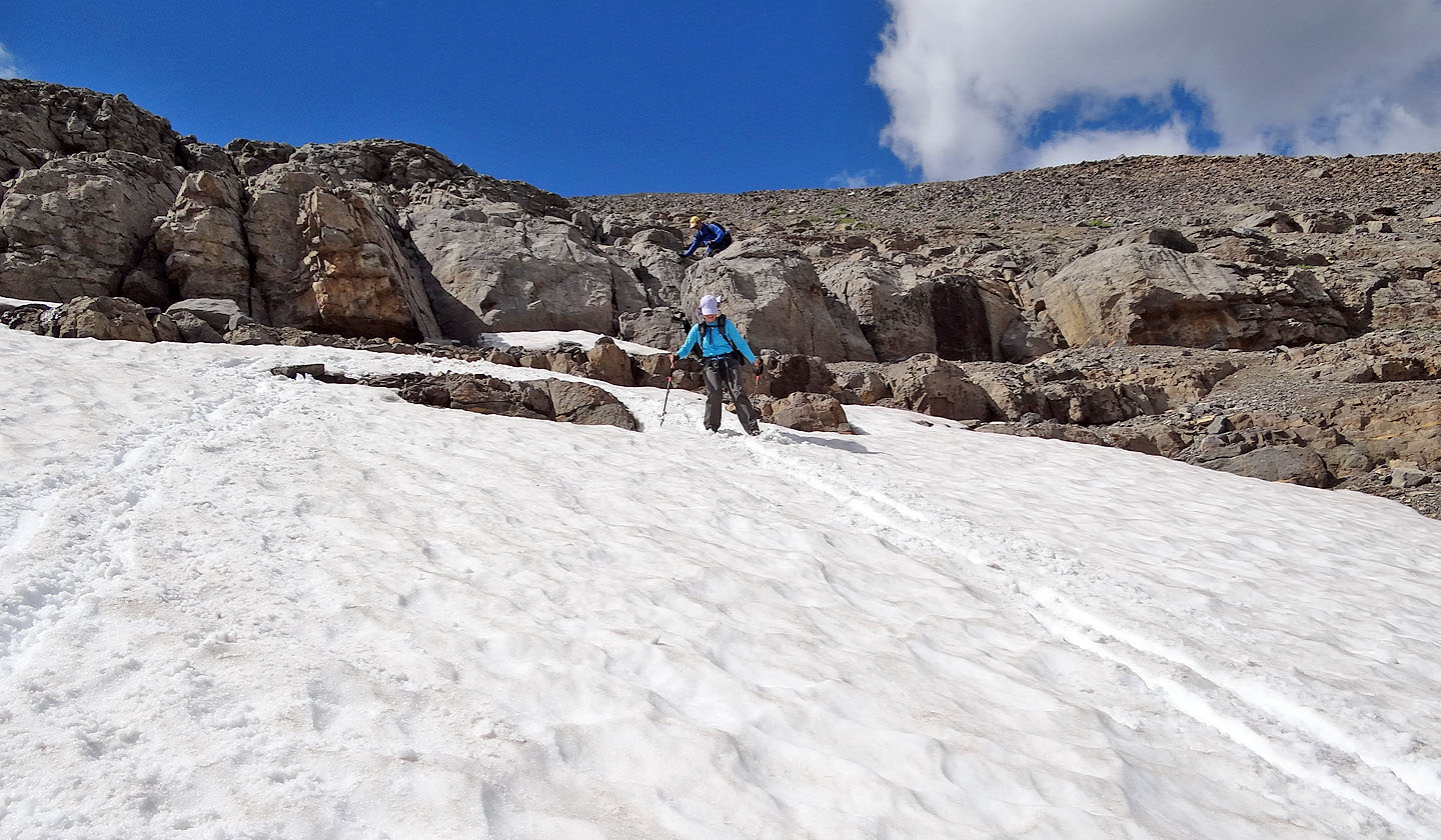
Dinah tried to boot ski but dropped down a hole! (mouse over)
Looking up from the bottom of the scree
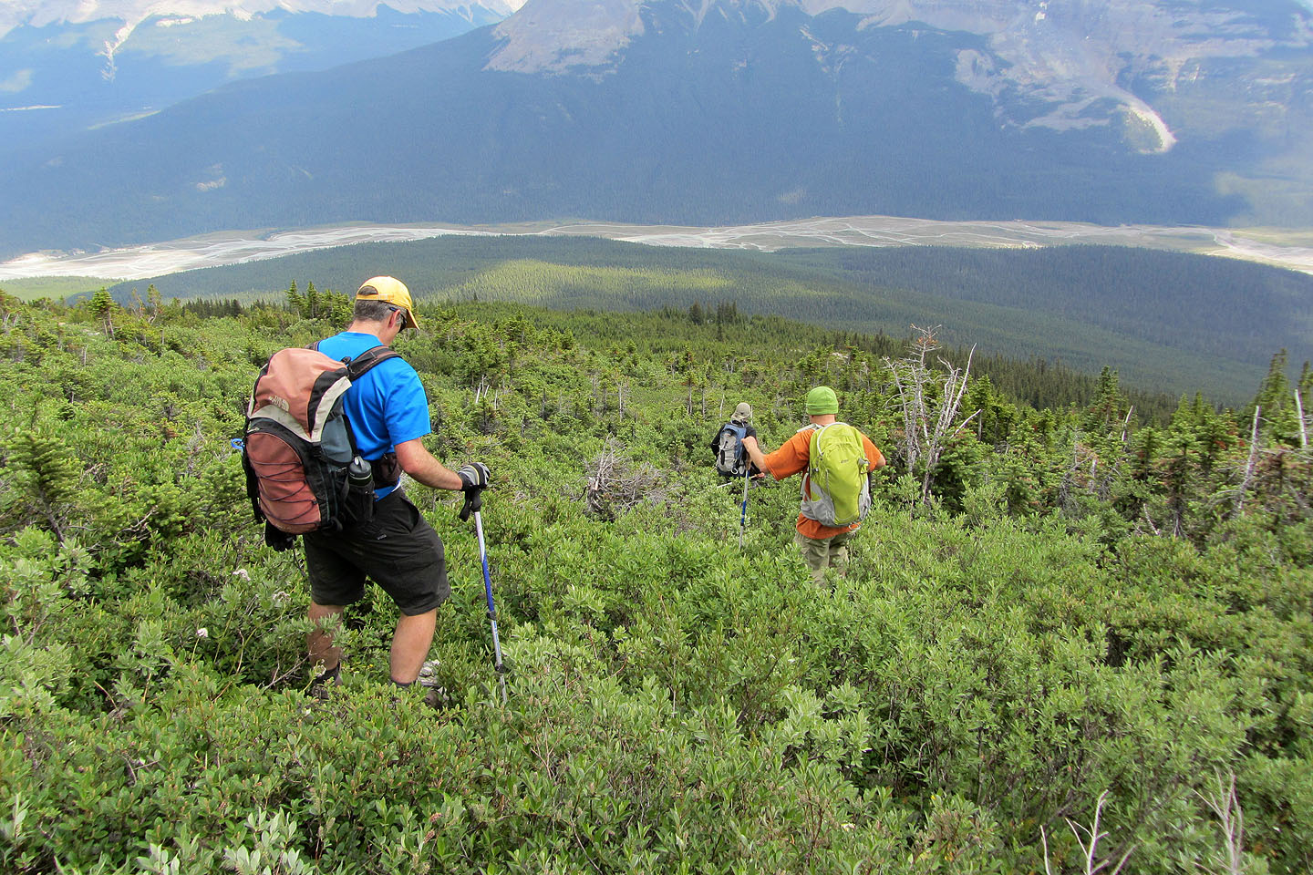
Starting down the avalanche slope in bushes so dense we couldn't see our feet
For a time we were able to thread through the trees in the avalanche slope
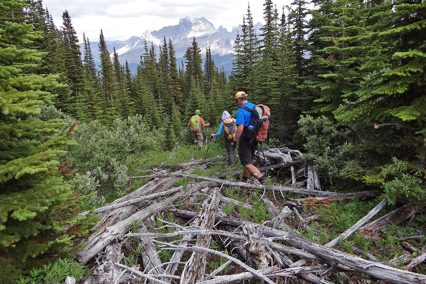
We also had to contend with deadfall
Dinah looks up at a 10-metre cliff barely visible in the trees
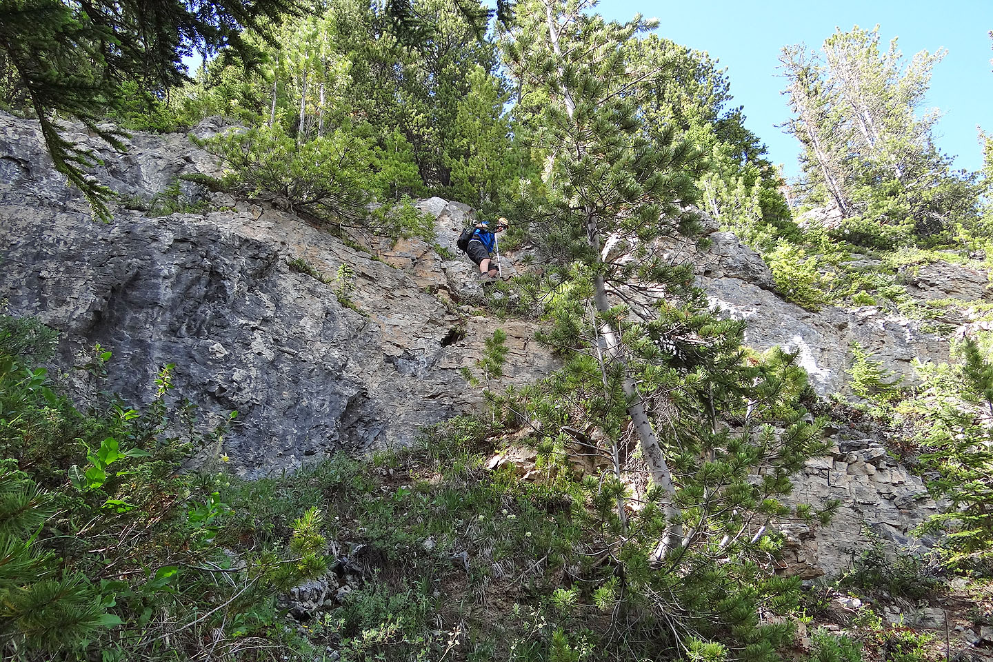
Jeff makes his way down a cliff band
Glacier Lake trail lies somewhere below. What appears to be a clearing
below is actually a huge pile of logs that we had to cross.
We finally got though the last cliff band
82 N/15 Mistaya Lake