bobspirko.ca | Home | Canada Trips | US Trips | Hiking | Snowshoeing | MAP | About
Tuff Puff
David Thompson Highway, Alberta
August 12, 2017
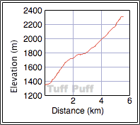
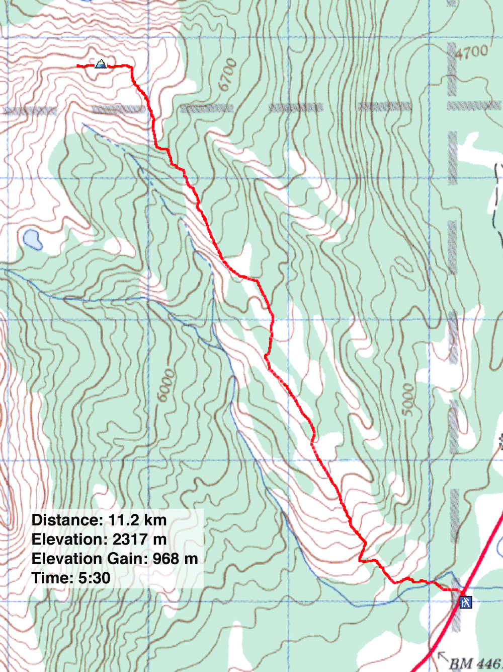
Distance: 11.2 km (7.0 mi)
Cumulative Elevation Gain: 992 m (3255 ft)
Tuff Puff is a long ridge with a good hiking trail. It probably offers good views too, but smoke from forest fires – the worst in 60 years – left surrounding peaks veiled or completely cloaked on an otherwise fine, hot summer day. (Some websites refer to it as “Tuff Puff Ridge” but David Thompson Highway: A Hiking Guide calls it simply “Tuff Puff.”)
The hike begins on a trail next to a pullout on the highway, 24 km east of Hwy. 93. Right off the bat, Dinah and I encountered a few forks. We turned right each time, which were undoubtedly shortcuts. After that, there was one more fork: the option of leaving the ridge to drop down to Kinglet Lake. (We ran into one fisherman coming back from there.) We took the right fork to Tuff Puff.
The trail begins with a steep climb and cruises lazily through meadows and forest groves before rising to meet the alpine summit. Our trip was bereft of our usual bevy of photos. In the waning days of the season, few wildflowers appeared, already going to seed, and smoke obliterated mountain scenery.
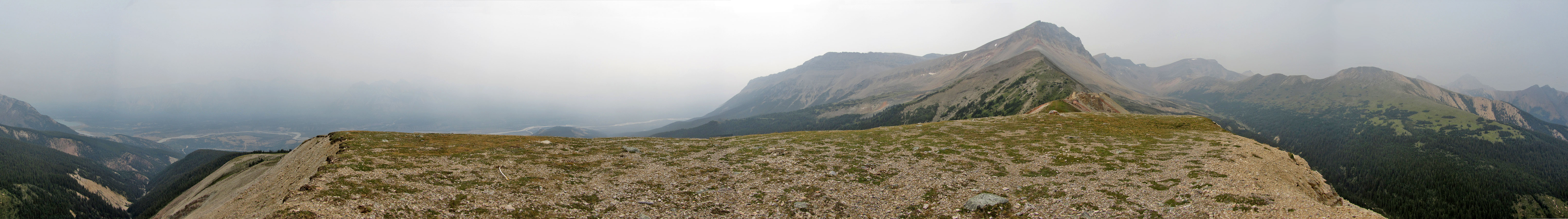
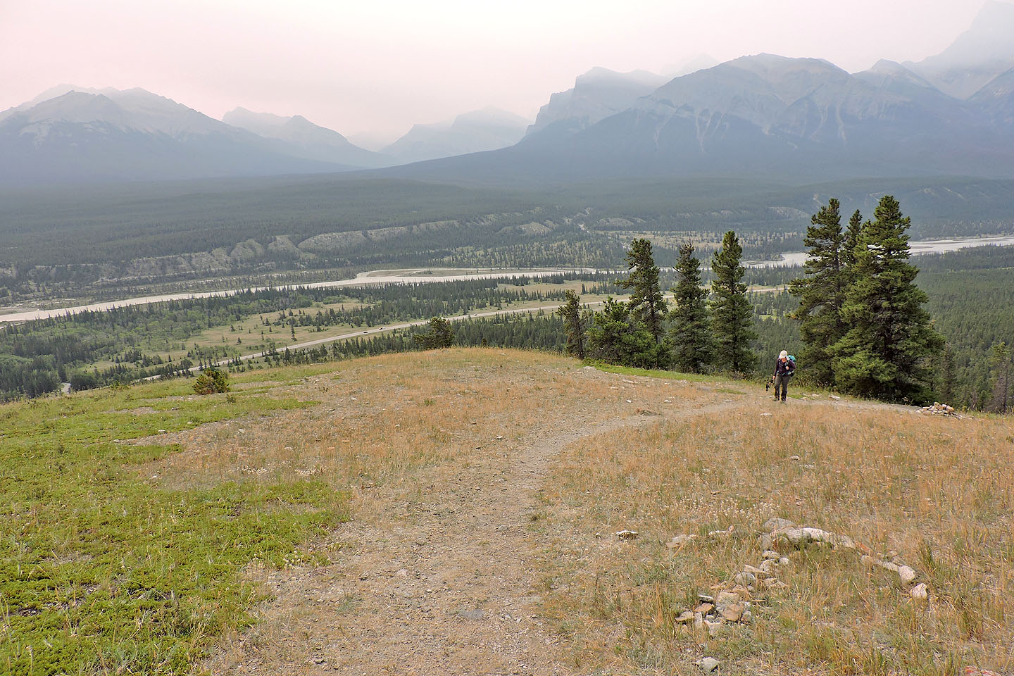
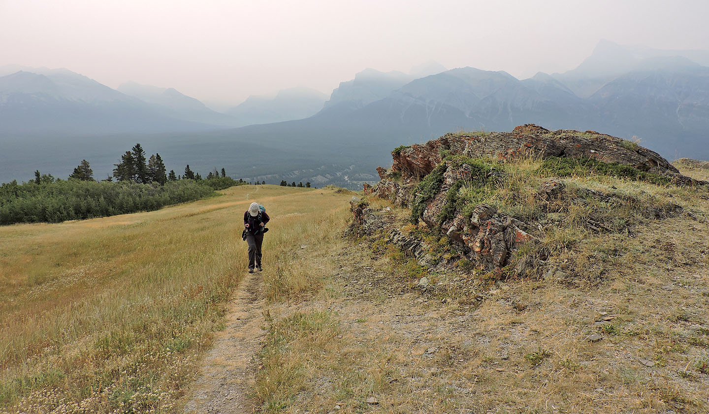
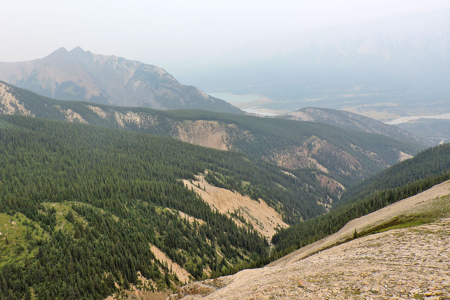
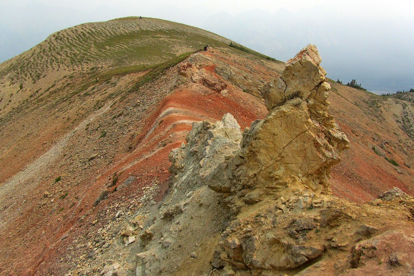
From the summit of Tuff Puff, the details of nearby Whirlpool Ridge and Two O’Clock Ridge were lost in a haze. Just 5 km away, North Saskatchewan River was barely visible. A few years ago on nearby Whirlpool Ridge, we gazed at countless peaks beyond the river, but today we faced an opaque wall of smoke. The one bright spot we appreciated was the colourful outcrop a few minutes past the summit.
We missed the views this time, but we’ll probably return to the area another day – there are several climbs here we haven’t done – and hope for clear skies.
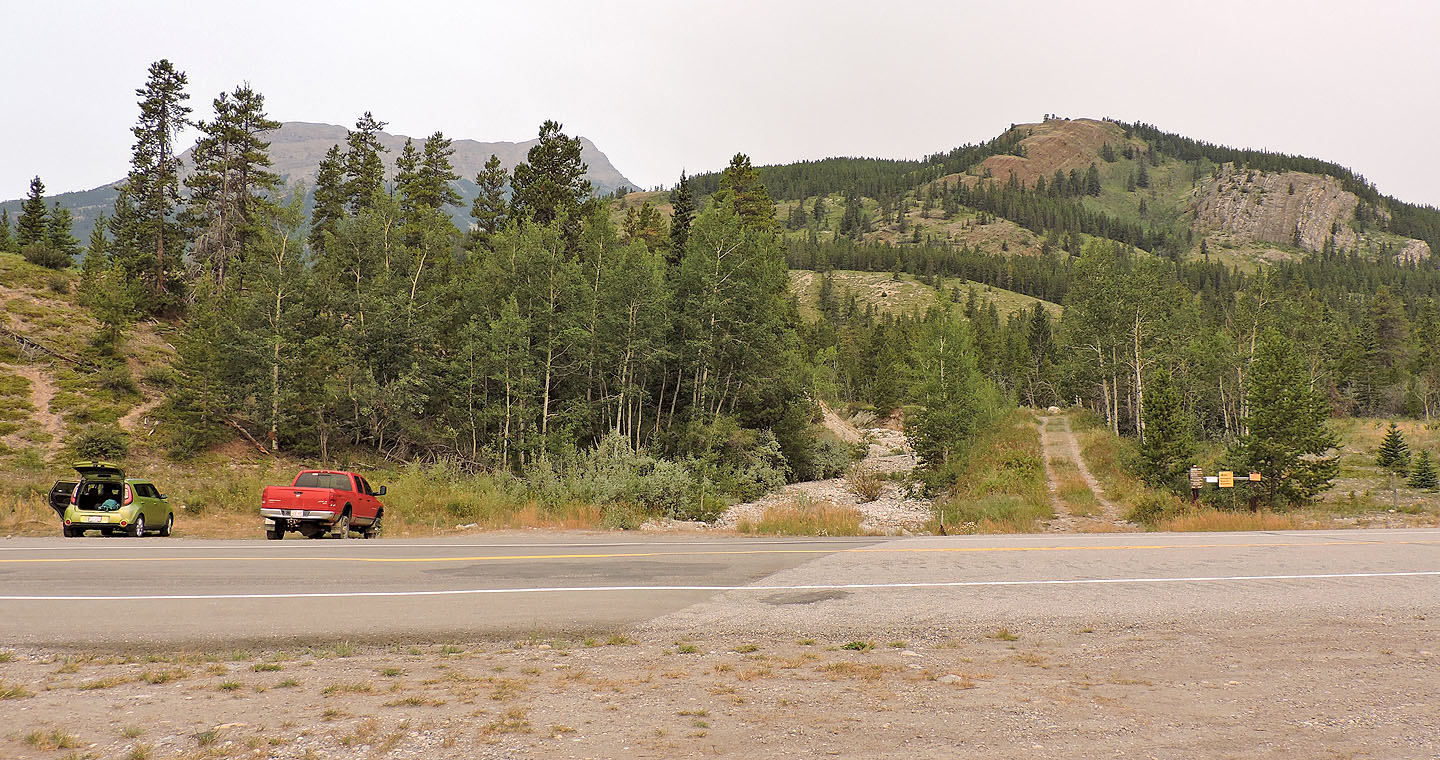
Tuff Puff trailhead is to the right of the pullout
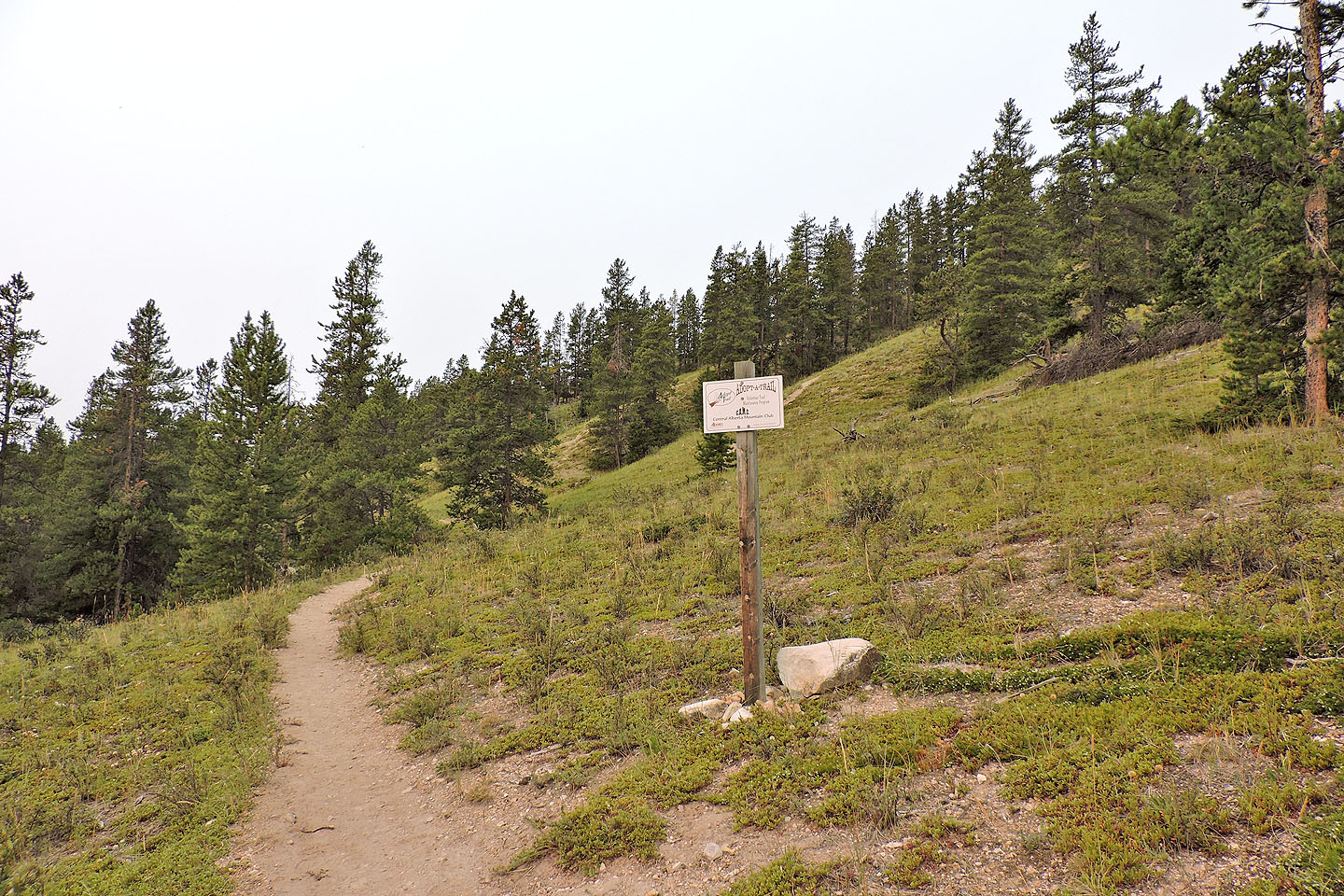
The trail forks just after a sign. We took the right fork, a shortcut, but the trails join less than 500 m away.
The shortcut swings left before reaching the top and soon joins the main trail
A huge arrow points the way as if it's possible to lose your way back from here
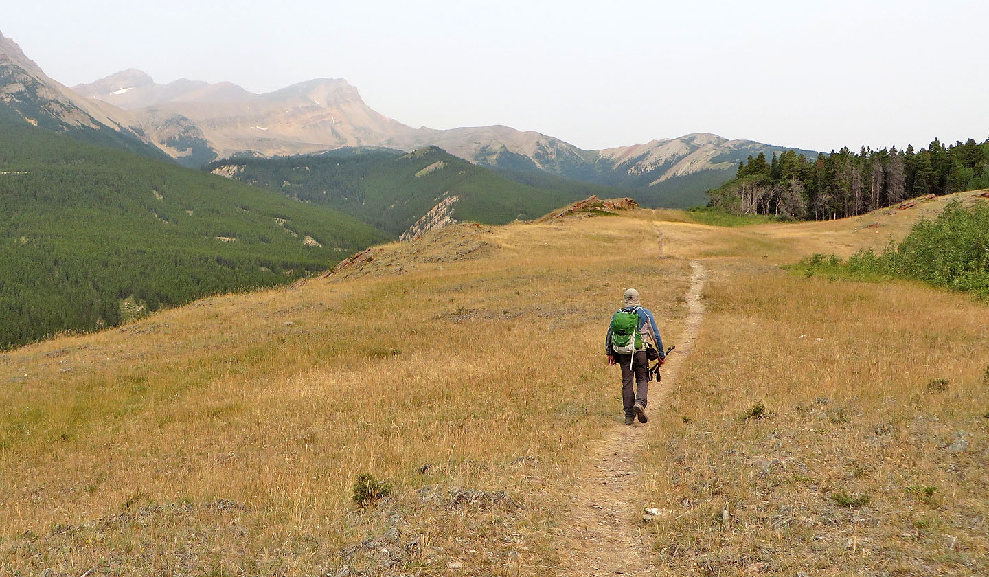
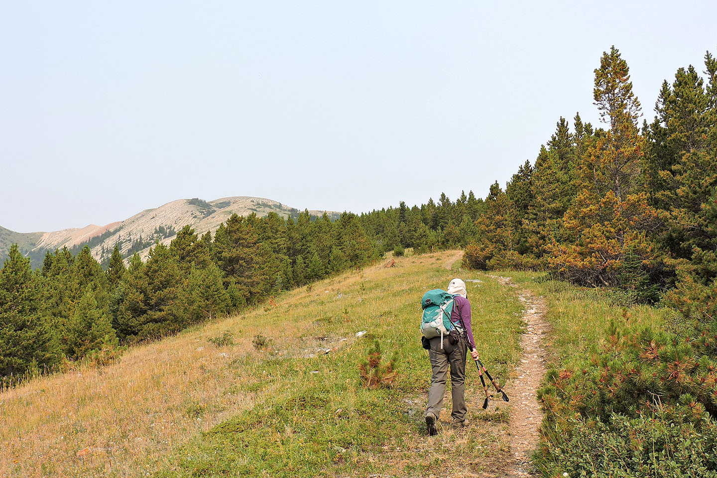
The summit lies ahead
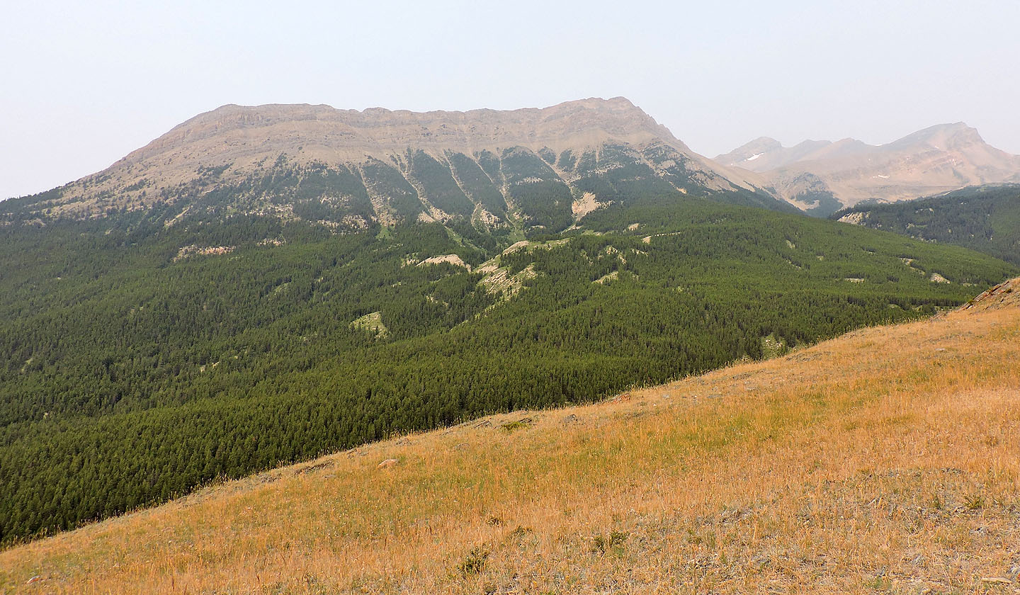
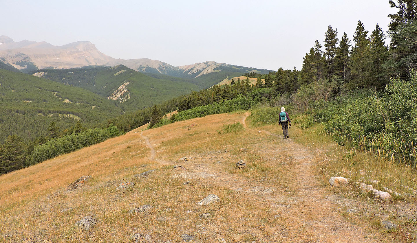
The south ridge of Whirlpool Ridge is on the left
By the time we reached the summit, the south sky would be opaque
The trail on the left runs to Kinglet Lake
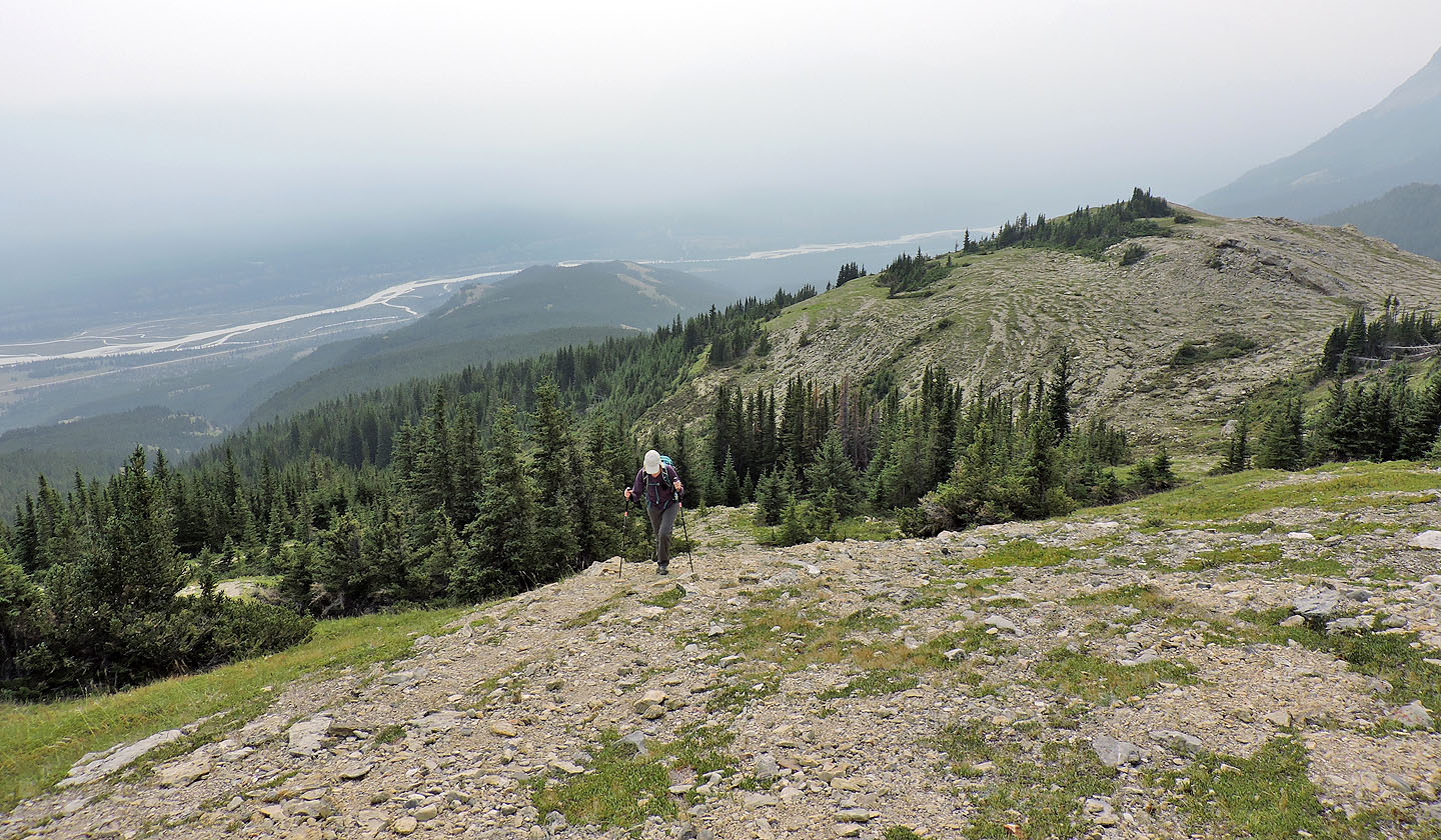
The trail dips into the forest ahead
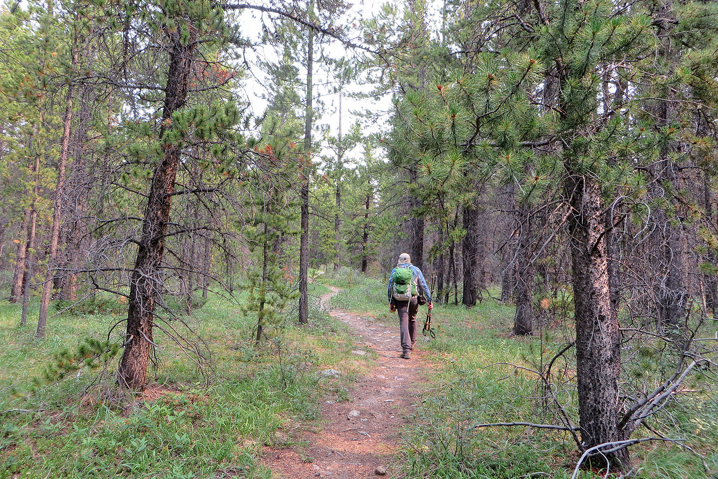
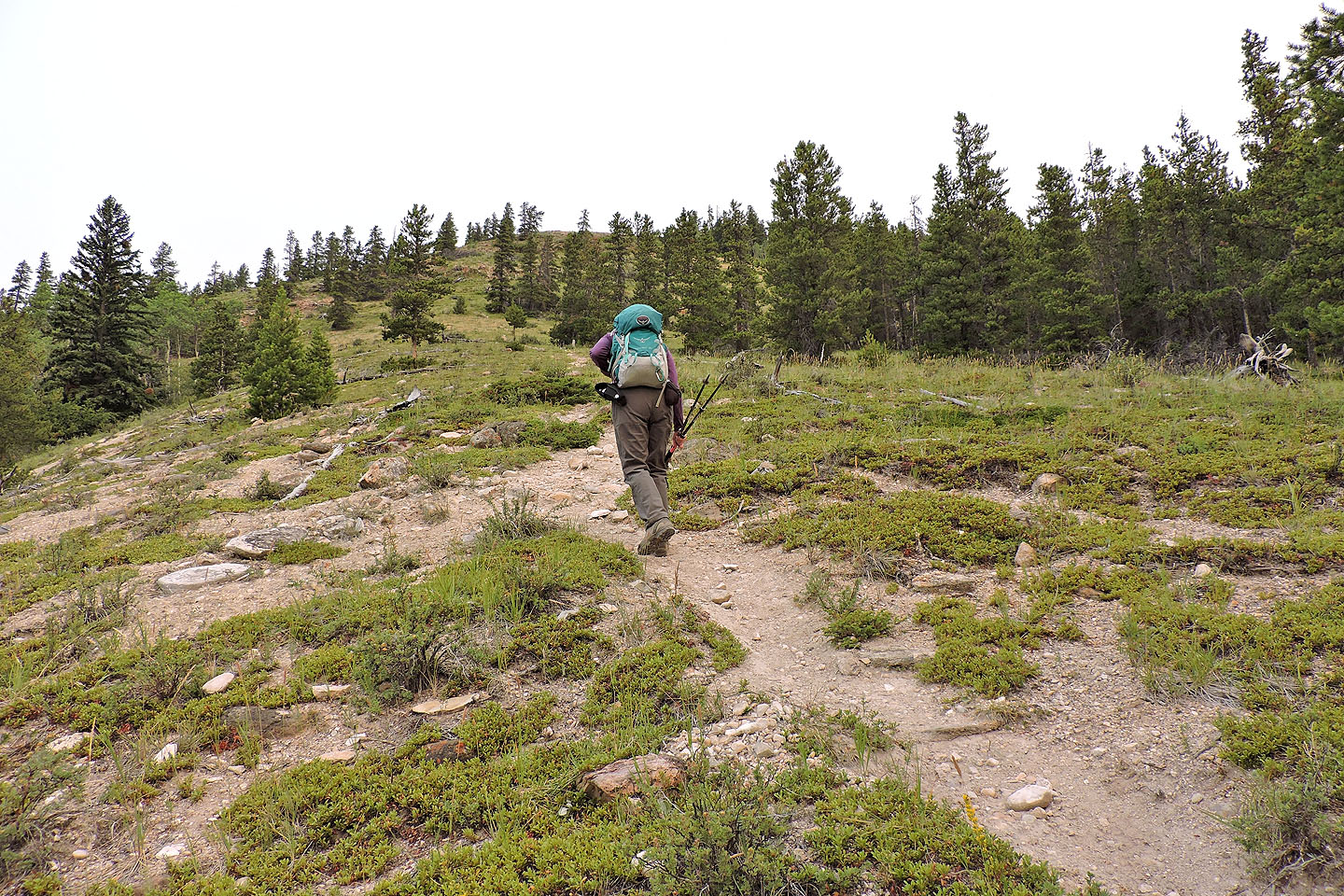
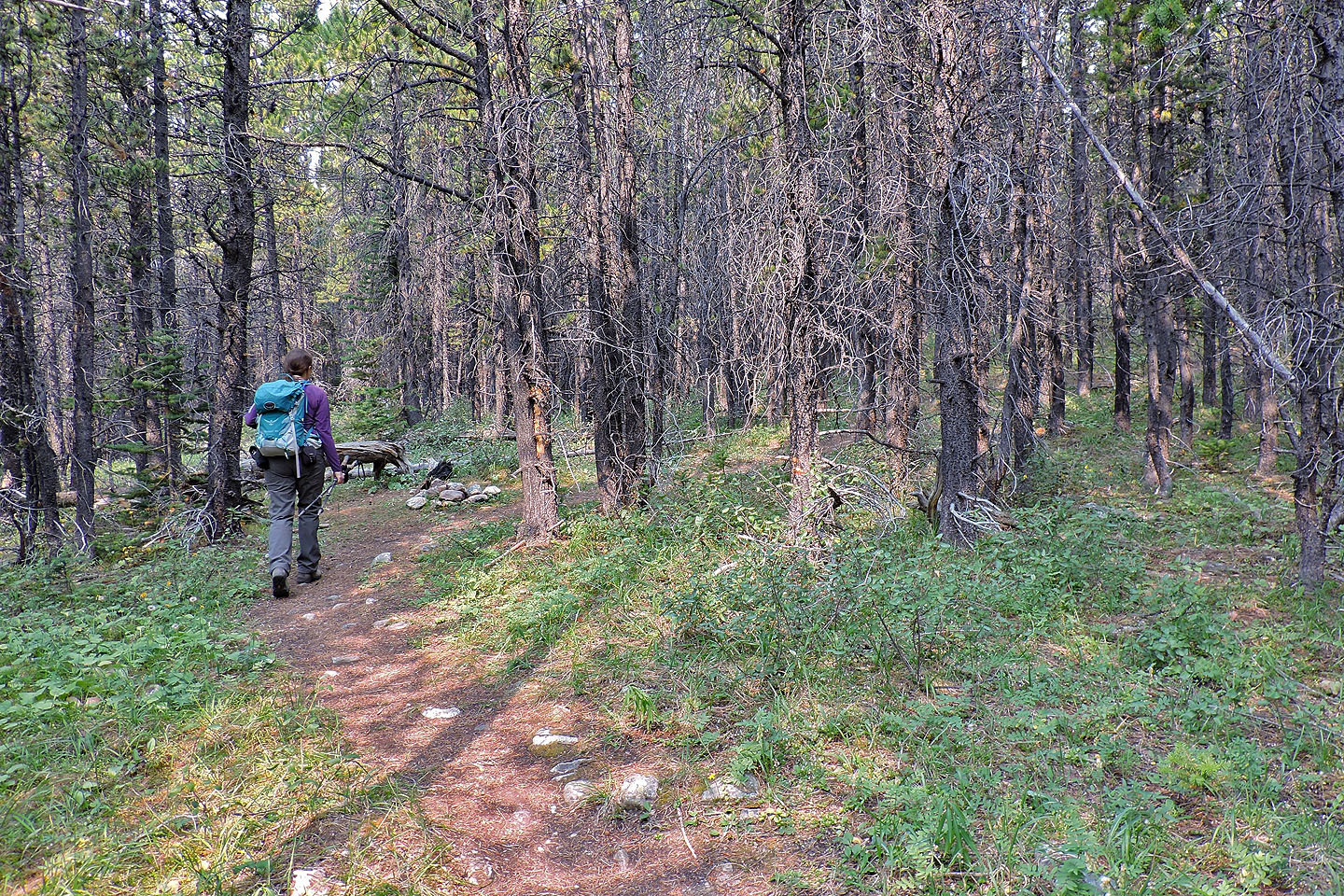
The hike through trees was a nice change in scenery
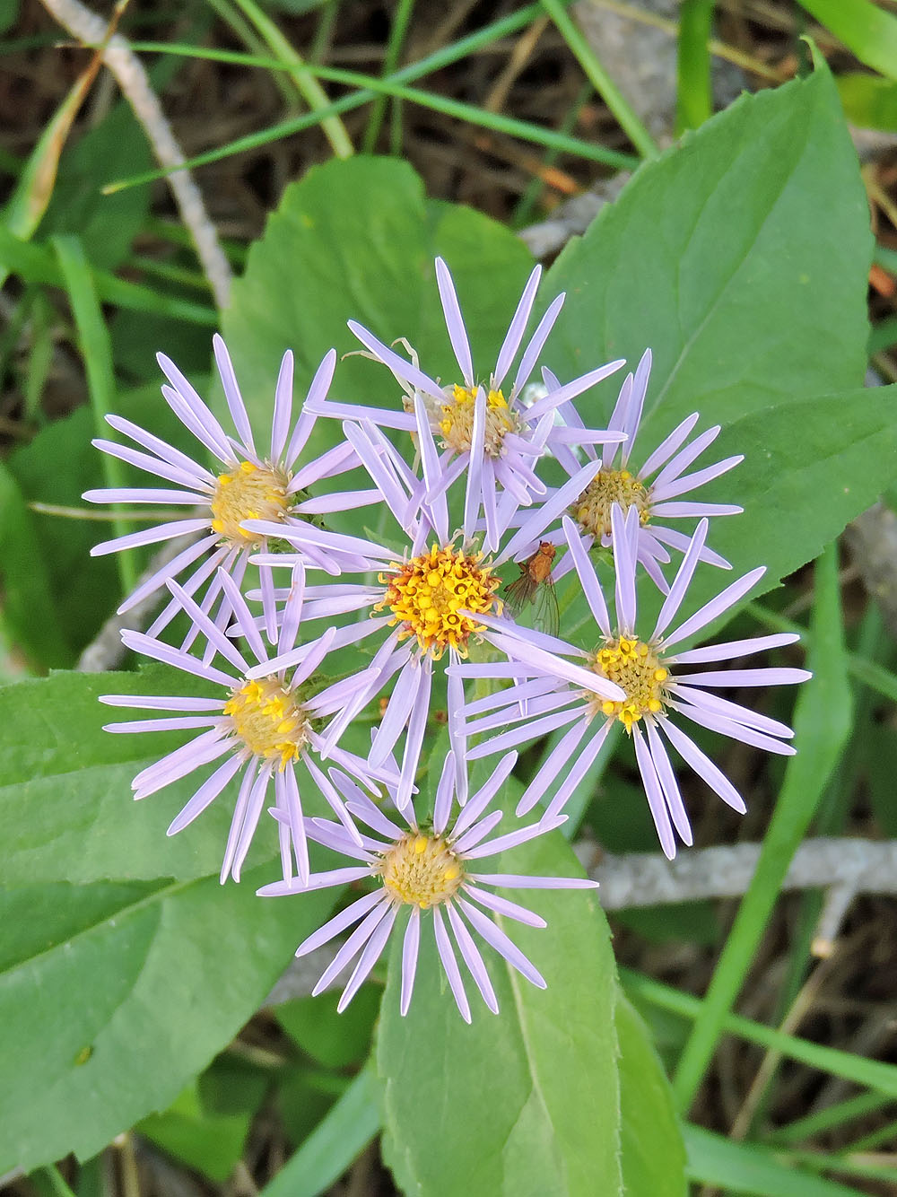
Some kind of aster I'm guessing
Another, much longer, wooded section lies ahead
We passed a firepit in the trees
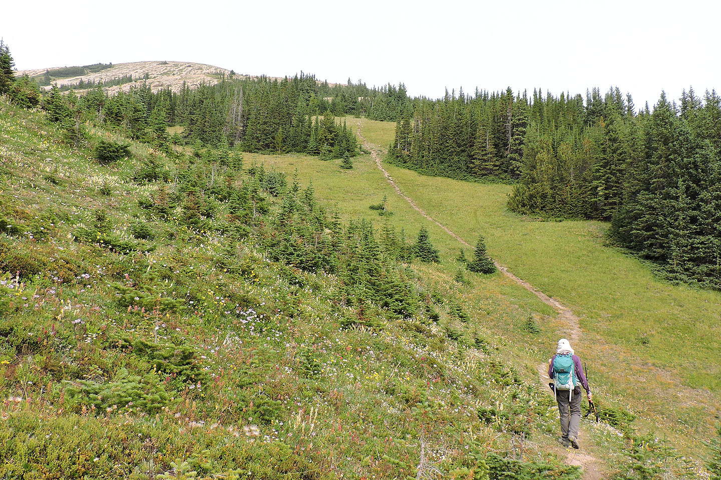
The rest of the trail bypasses trees
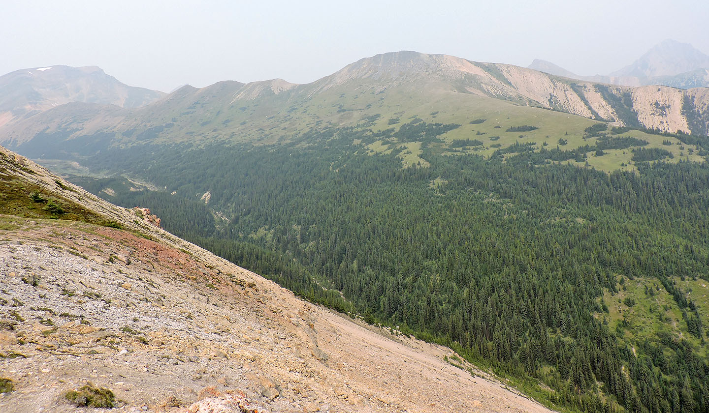
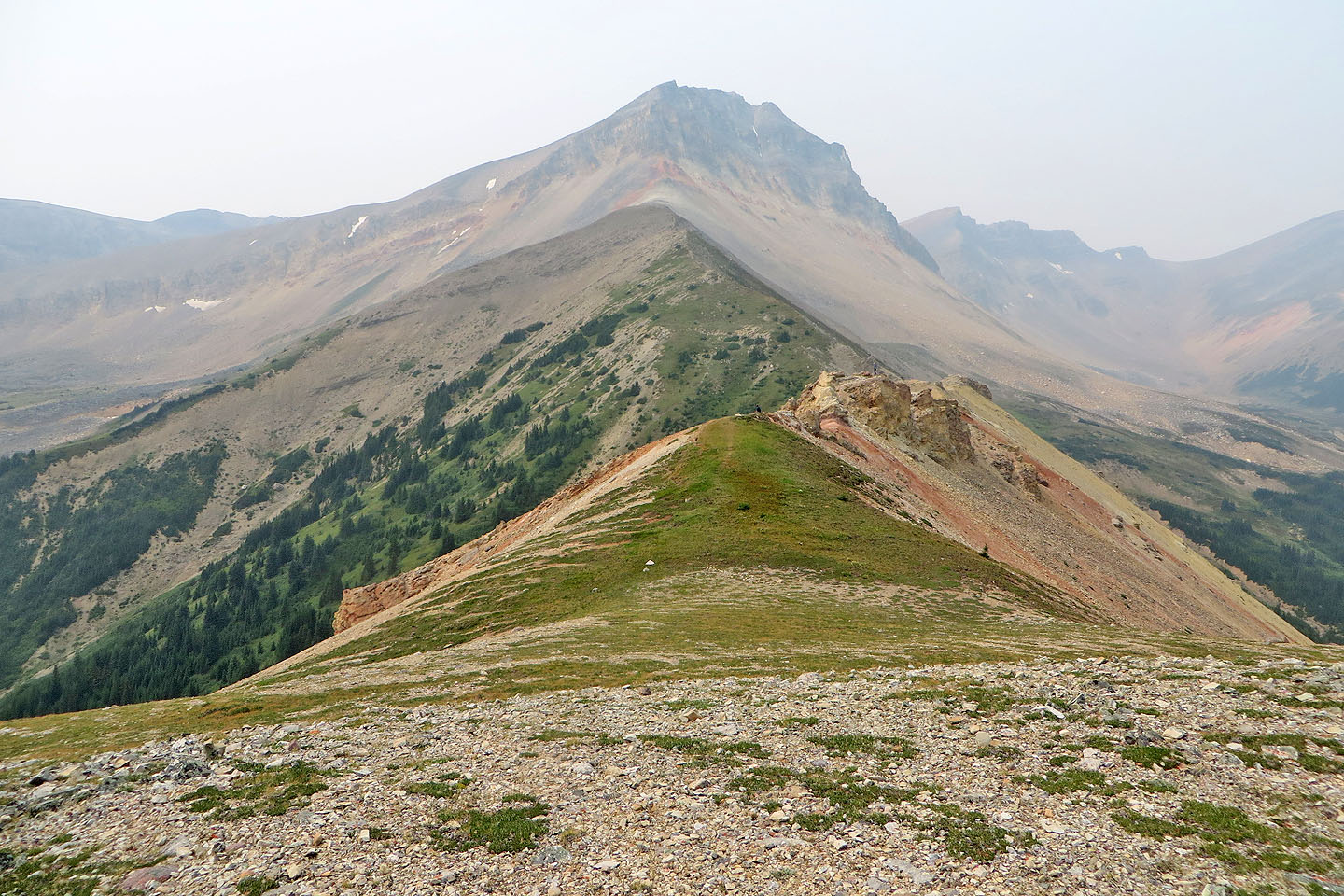
Looking back along the ridge
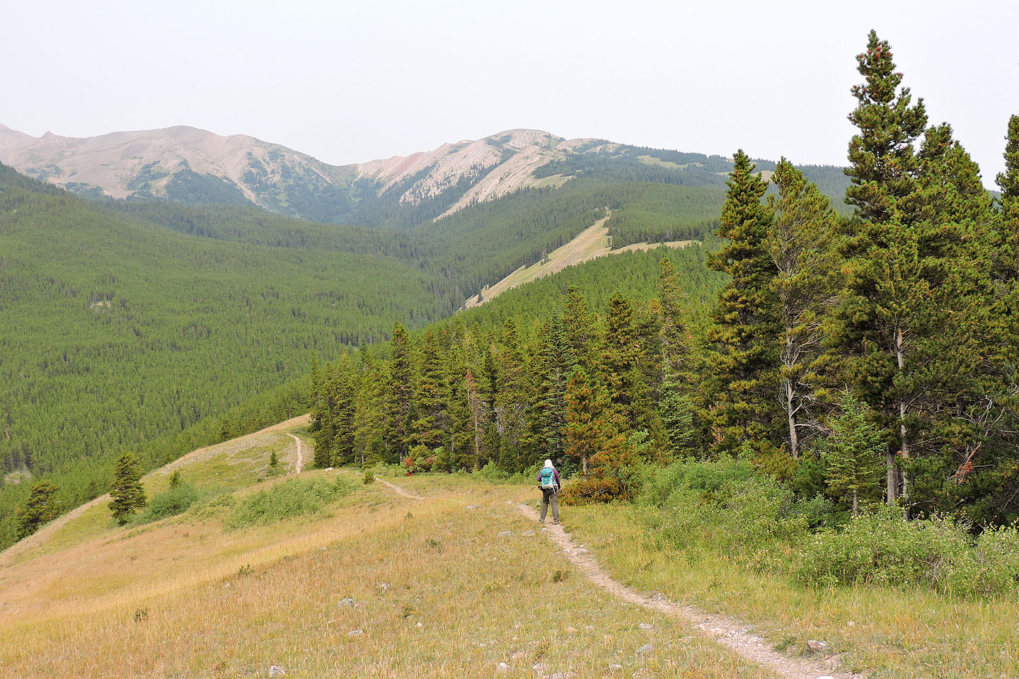
 Two O'clock ridge appears on the right
On the other side of Two O'clock is the double summit of Mount Ernest Ross
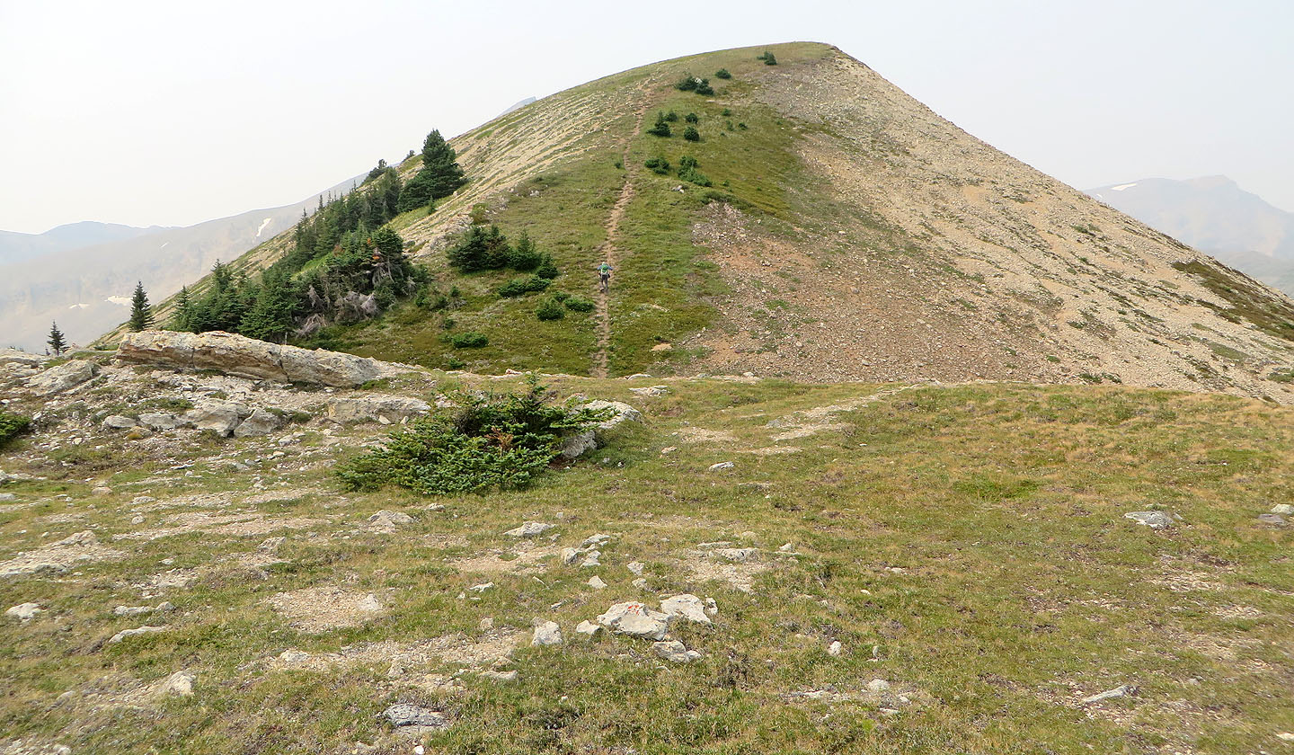
Last steps to the summit
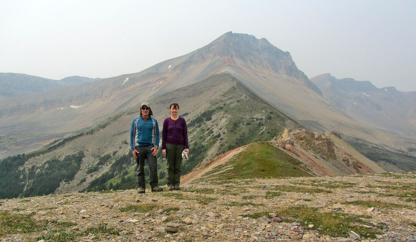
On the summit. It's worthwhile to scramble up the colourful outcrop on the right.
I hiked to the end of the ridge
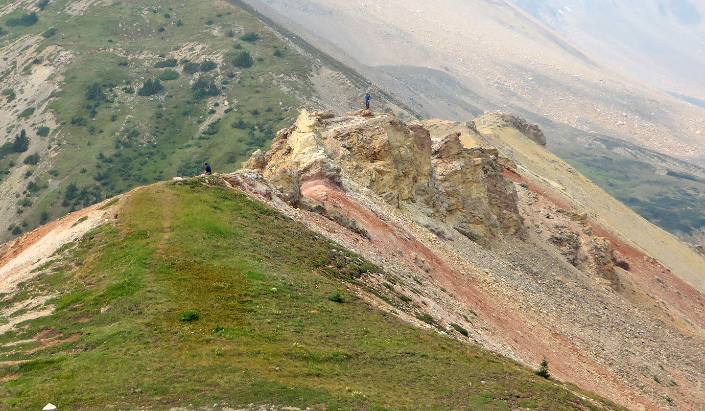
Standing on the outcrop
The north end of Whirlpool Ridge is left
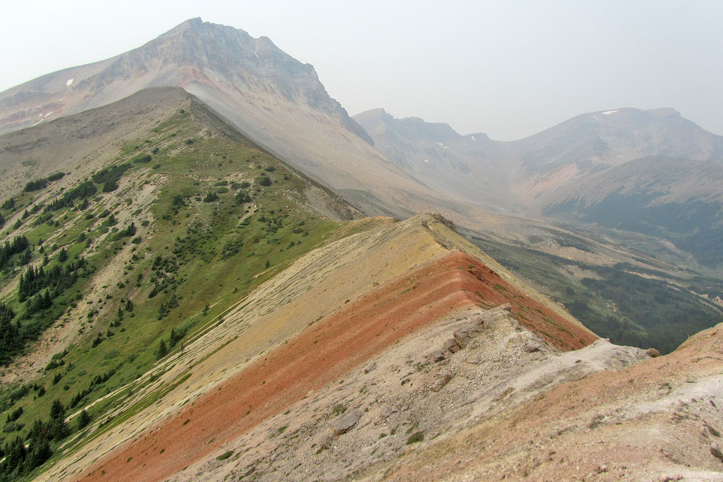
Looking back at the summit from the outcrop
83 C/1 White Rabbit