bobspirko.ca | Home | Canada Trips | US Trips | Hiking | Snowshoeing | MAP | About
Mount Minos
Ya Ha Tinda, Alberta
August 29, 2021
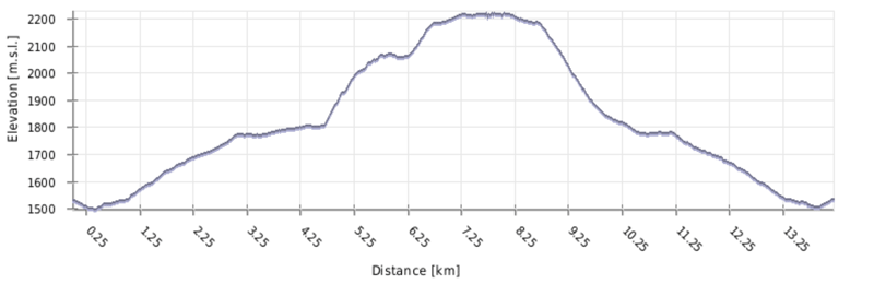
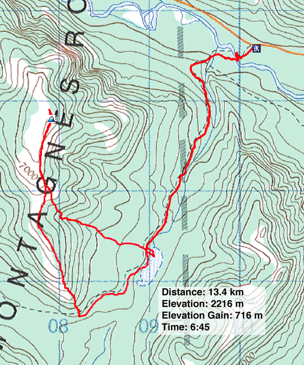
Distance: 13.4 km (8.3 mi)
Cumulative Elevation Gain: 786 m (2579 ft)
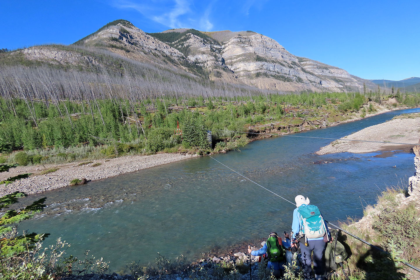
Ya Ha Tinda offers a pleasant change from areas that we Calgarians usually frequent, and perhaps there is no easier peak there than Mount Minos. The low-key adventure begins on an old road and ends on a grassy summit. But one hurdle that must be mentioned is crossing the Red Deer River. There are a few trip reports for Minos, but I liked Sonny's for the shortcut he used on the descent.
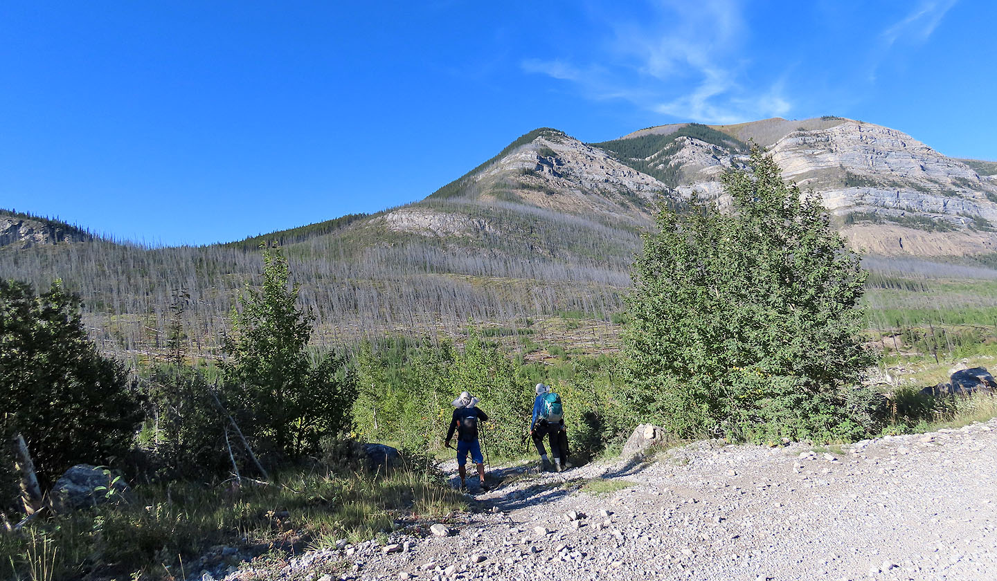
Dinah and I met Jonathan, Bernadette, Christine and Zora in Sundre, and we drove for an hour, much of it on a good gravel road, to the start point. We parked by a rough side road and walked 200 m down to the river. With the water rising to our knees and pushing with surprising force, we made the uneasy crossing to the other side. After stashing sandals and hip waders, we started up the trail. It takes a wide berth around fallen trees before settling into a tree-lined old road.
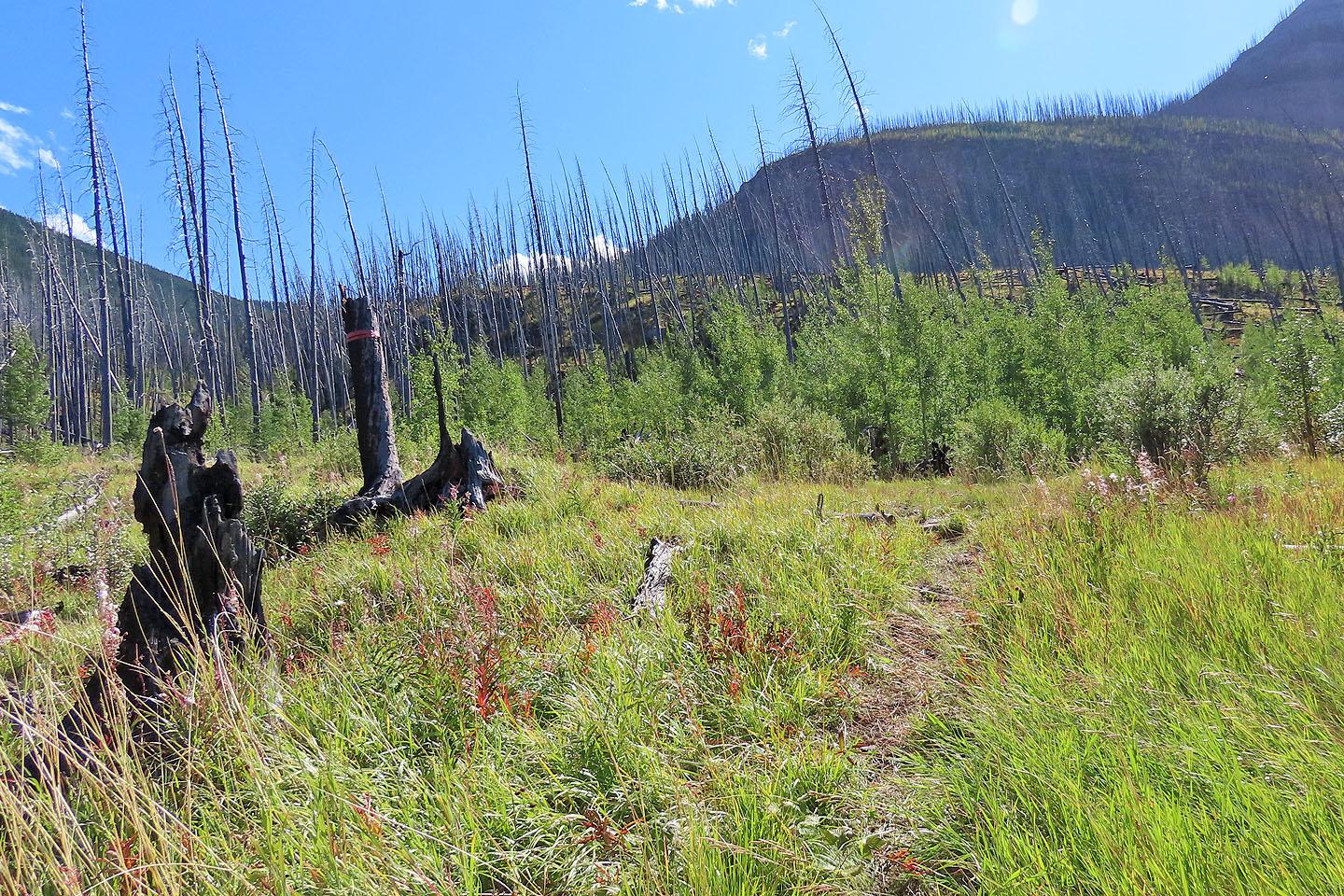
The road was absolutely boring. It passes an unnamed lake, but we only glimpsed the chartreuse water through the trees. A short time later, the road runs by the unseen end of the south ridge of Minos. Using a waypoint, we started up it.
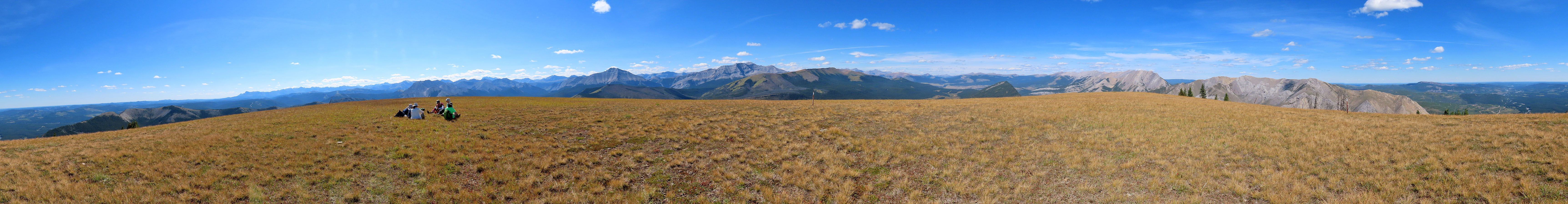
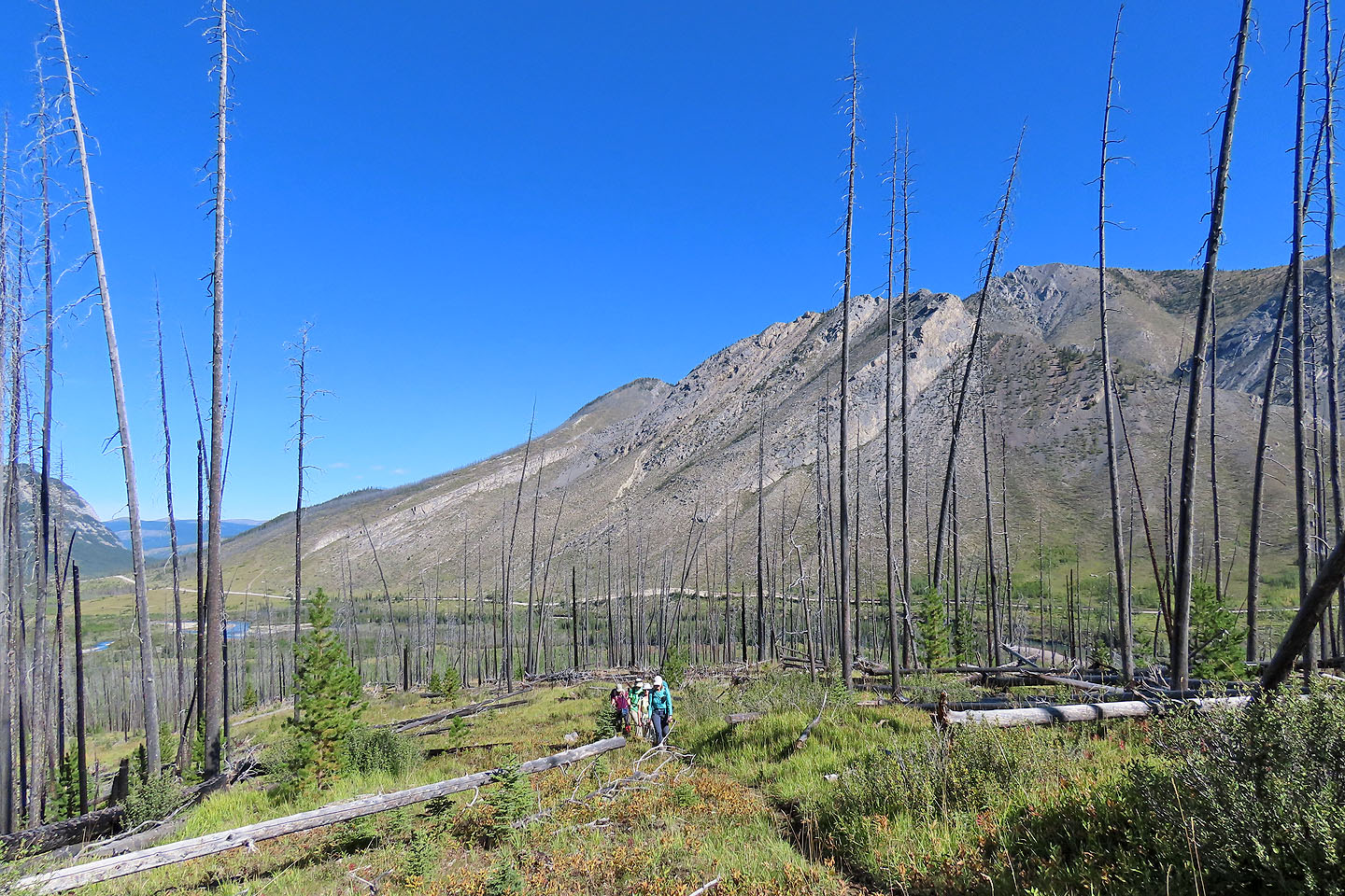
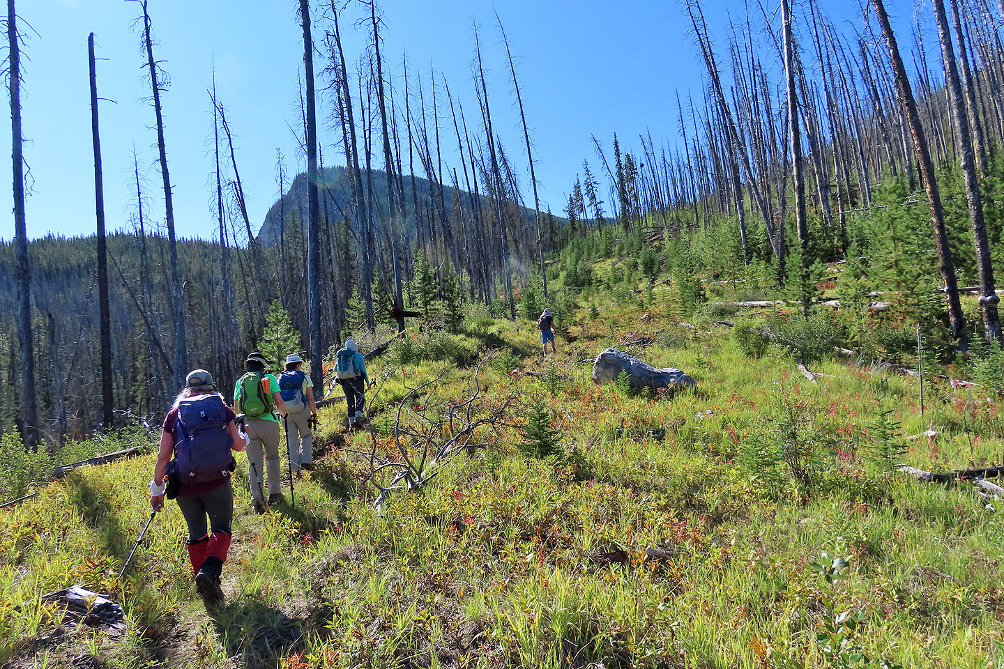
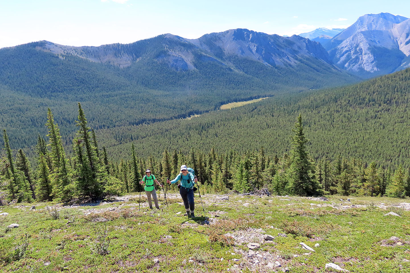
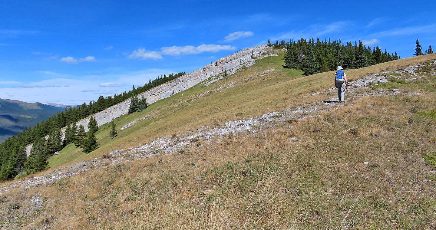
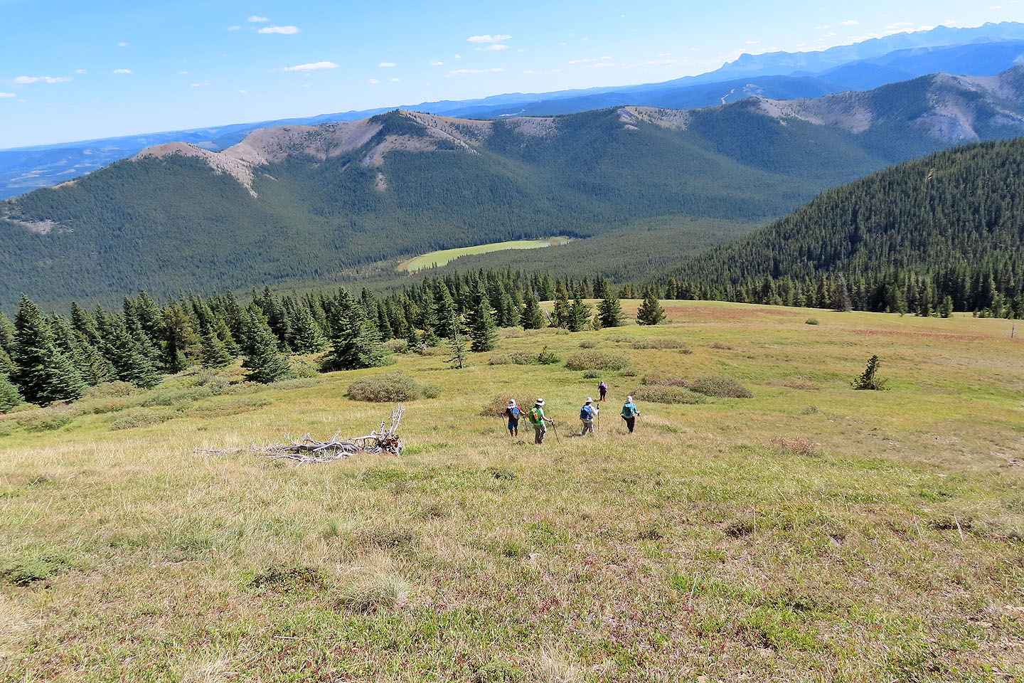
We began hiking through trees, but they soon retreated leaving a grassy corridor interrupted by cliff bands that offered little resistance. The ridge begins steep but gradually relaxes, leading to a broad, gentle summit. With mountain views all around, we ensconced ourselves on the grassy top and had lunch.
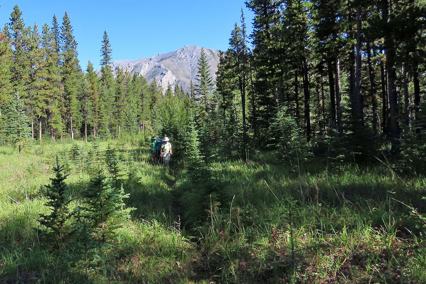
After spending an hour on the summit, we headed back down. Taking the shortcut which cuts a kilometre off the monotonous road, we dropped down the west slope. The route didn't offer any difficulties, although we did have to circumvent a cliff band. We came down the treed slope, left of a shadowy gully, and reached the trail where it runs by the lake. Leaving the others on the trail, Jonathan, Christine and I made our way through pines and bushes to the shore less than 100 m away. The lake was too turbid to call beautiful, but it was worth viewing for the slight effort. We soon joined the others waiting on the trail.
Our return was uneventful, although the river crossing was more difficult as the water flowed stronger. Mount Minos is a nice little hike, but likely best reserved for late in the season when the river isn't high.
Jonathan and Dinah start down the short road to Red Deer River
We dropped down to the river bank. Mount Minos fills the background.
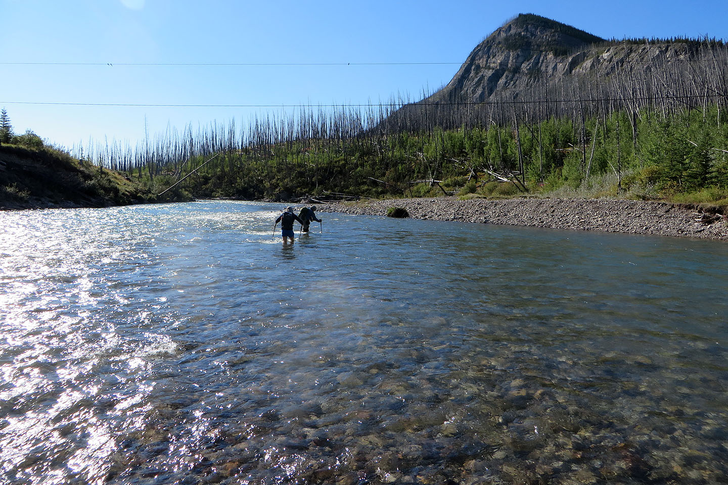
Jonathan and I crossed the river
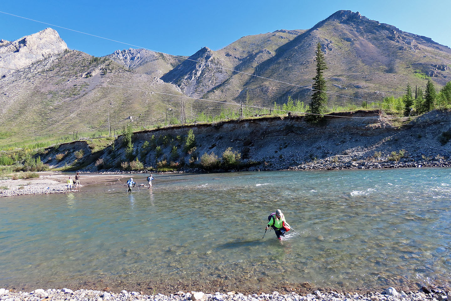
The rest soon followed
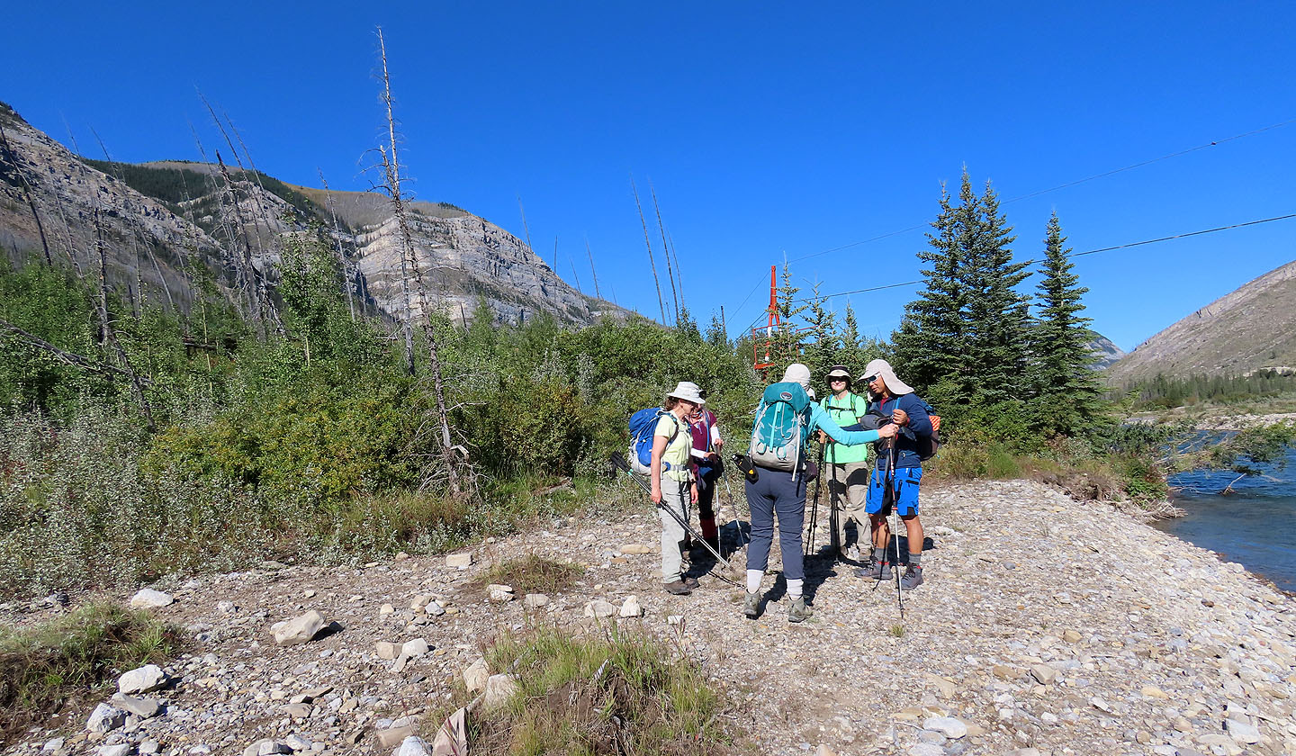
We gathered on the far bank. The trail begins by the trolley cable.
Starting up the trail
We went right at the T-intersection marked by flagging
The trail makes a wide turn
The path eventually straightens and hits the old road
Hiking up the road
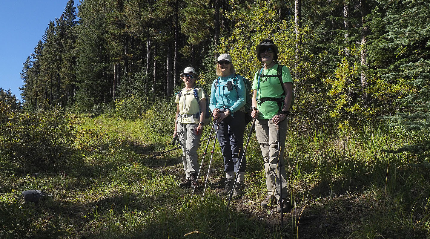
Zora, Dinah and Bernadette stop for a photo
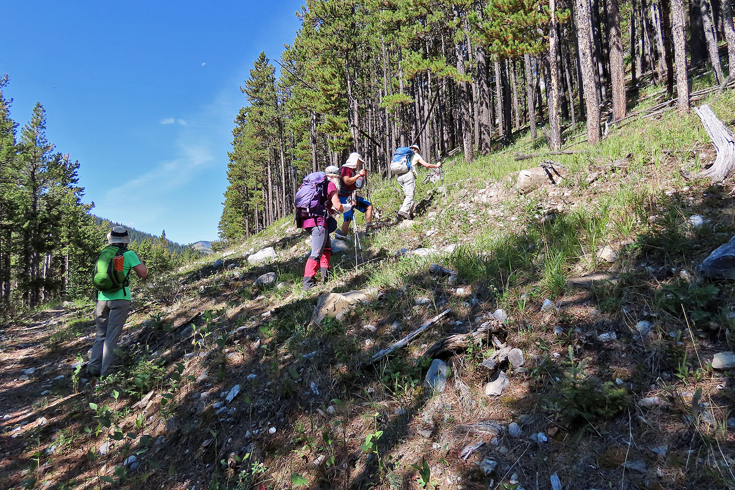
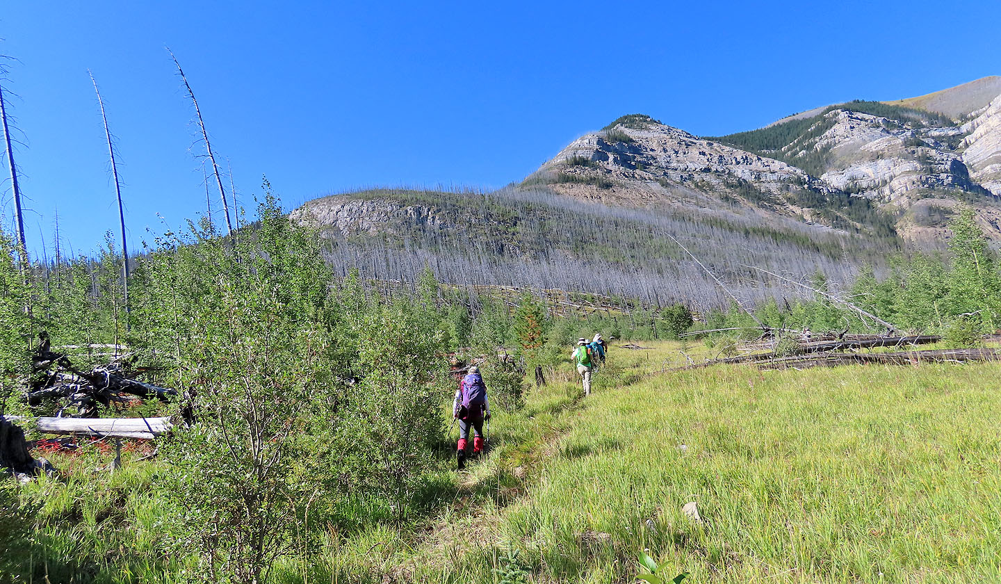
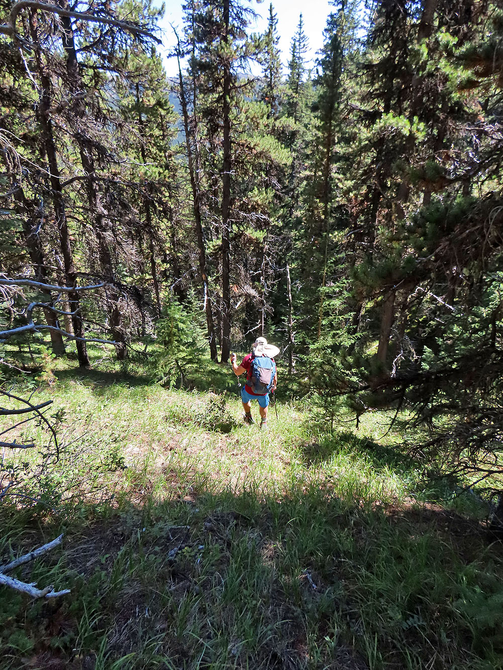
After reaching the end of the ridge, we left the trail
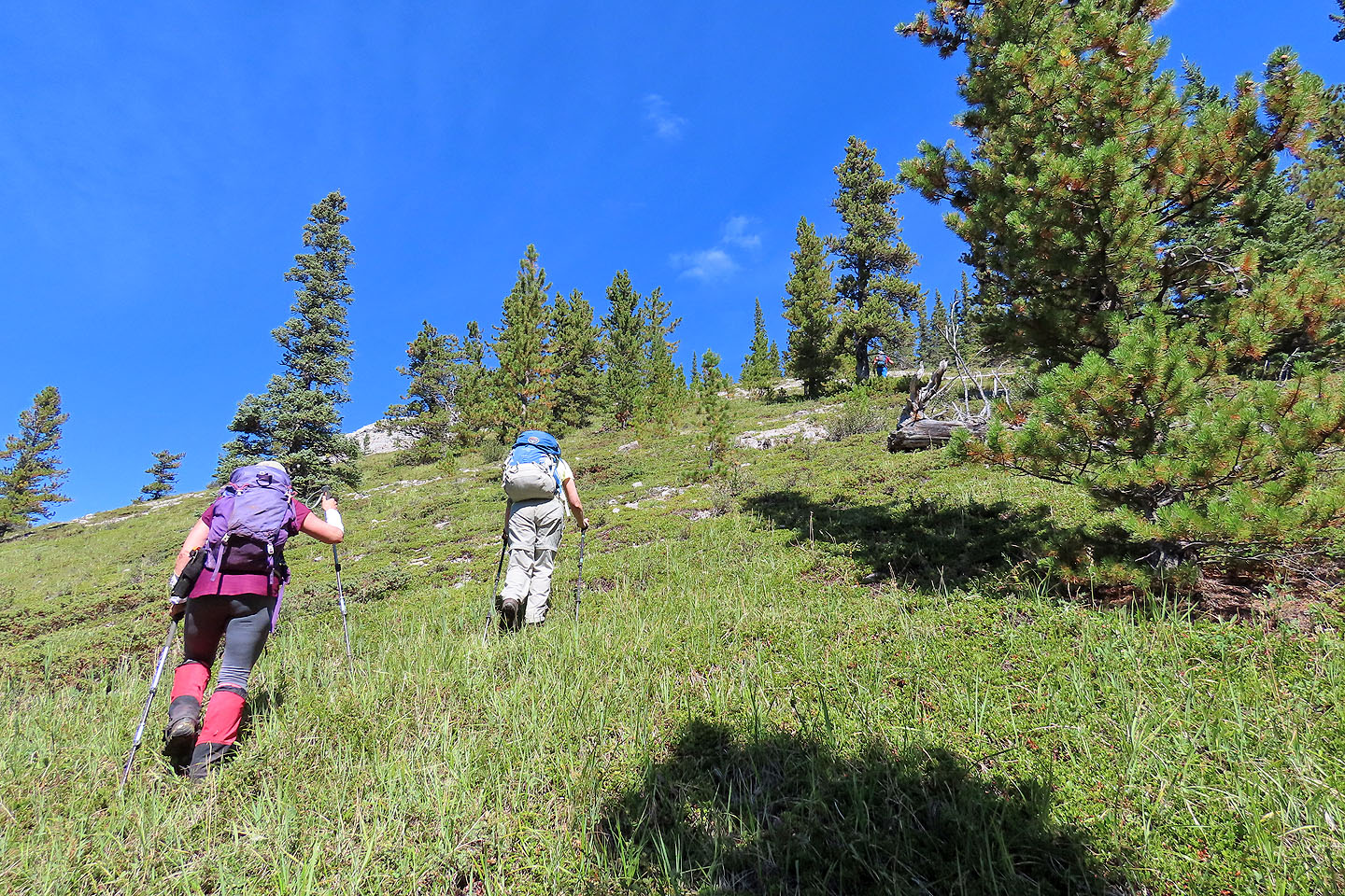
A few minutes later, we were out of the trees
Looking back
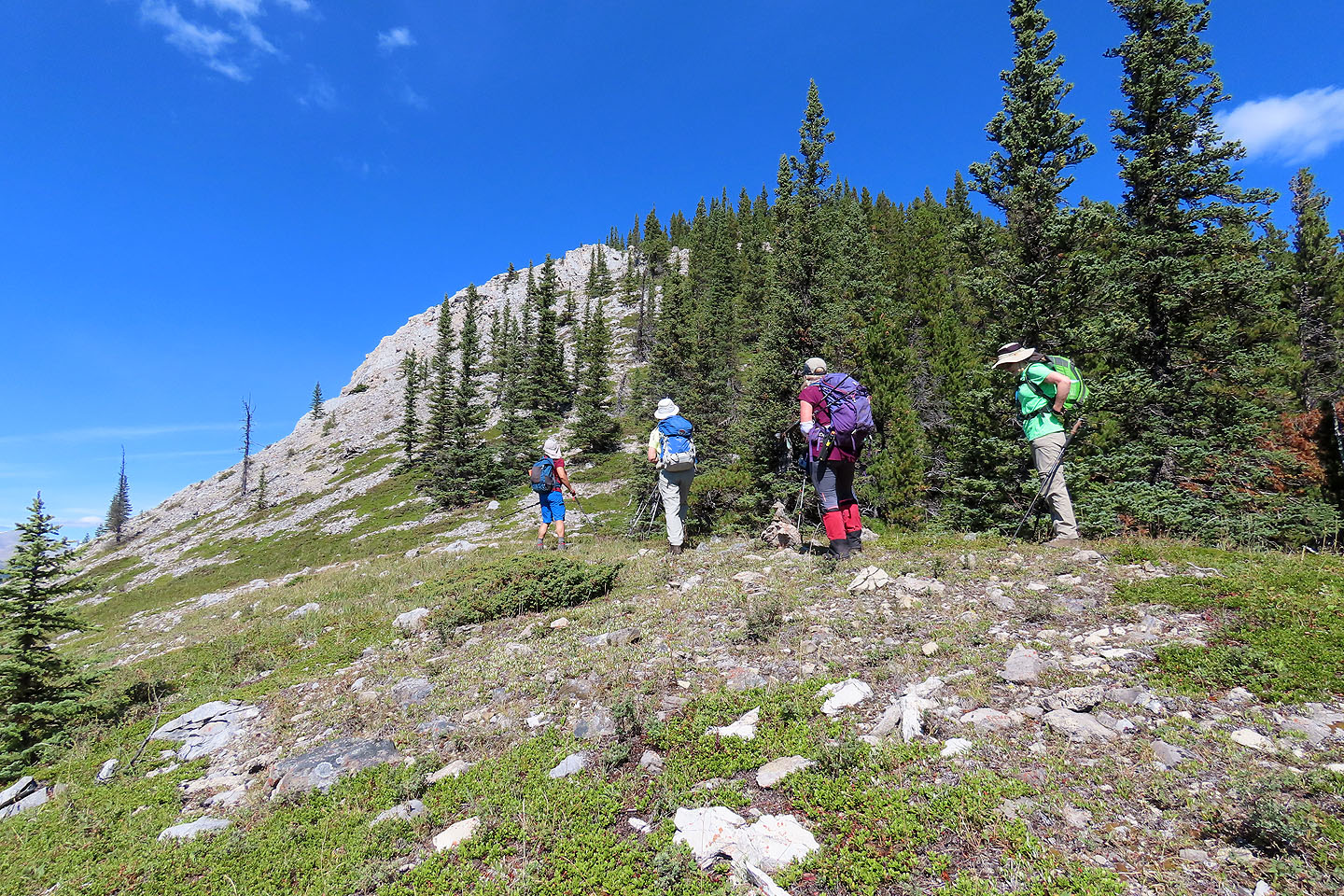
Coming up to the first cliff band
The cliff bands didn't offer any difficulties
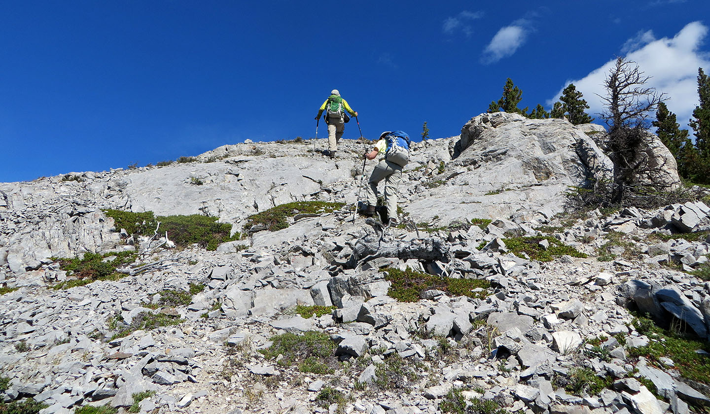
The next cliff band is impressive
We easily climbed up the right end
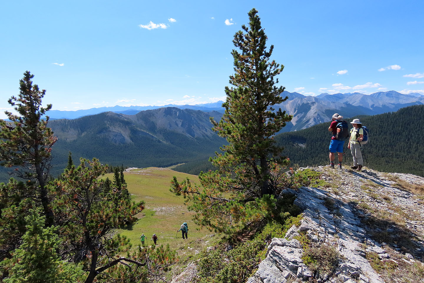
Looking back from the top of the cliff band
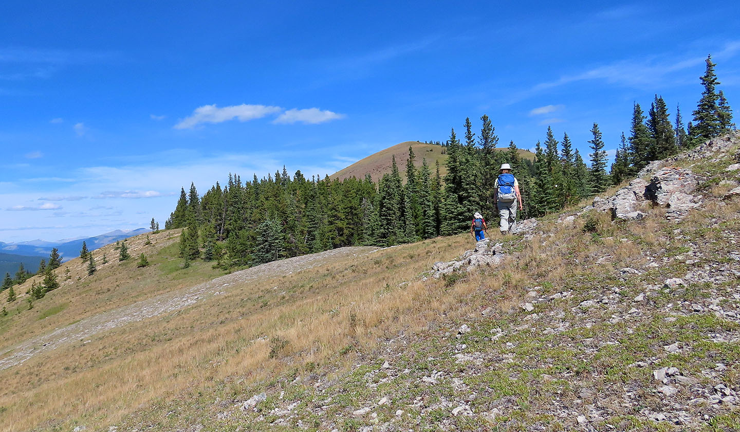
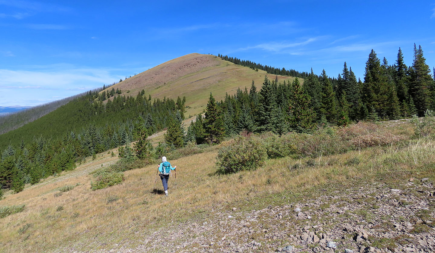
The summit appears above Zora
We lost some elevation here
Looking back at the drop
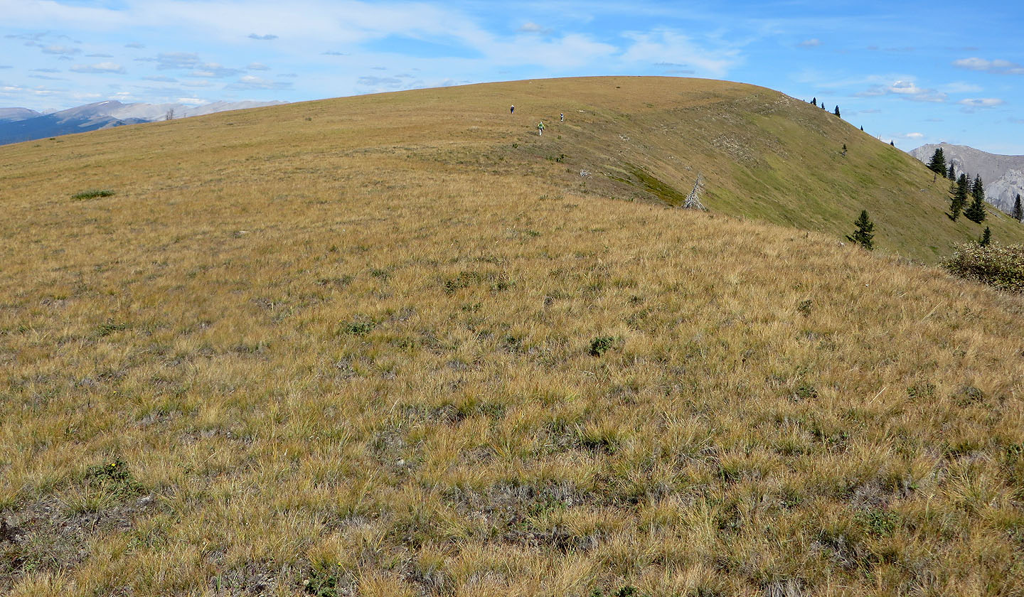
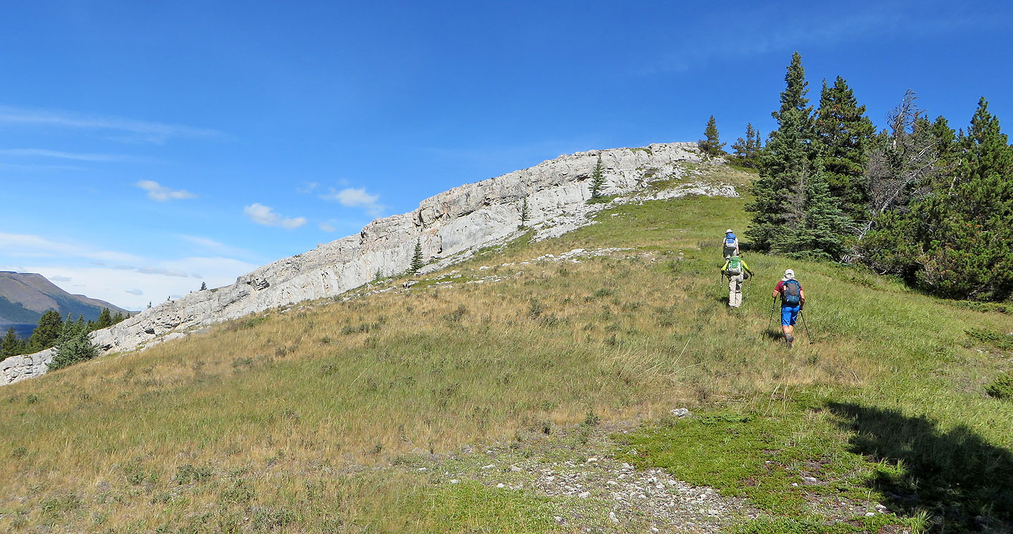
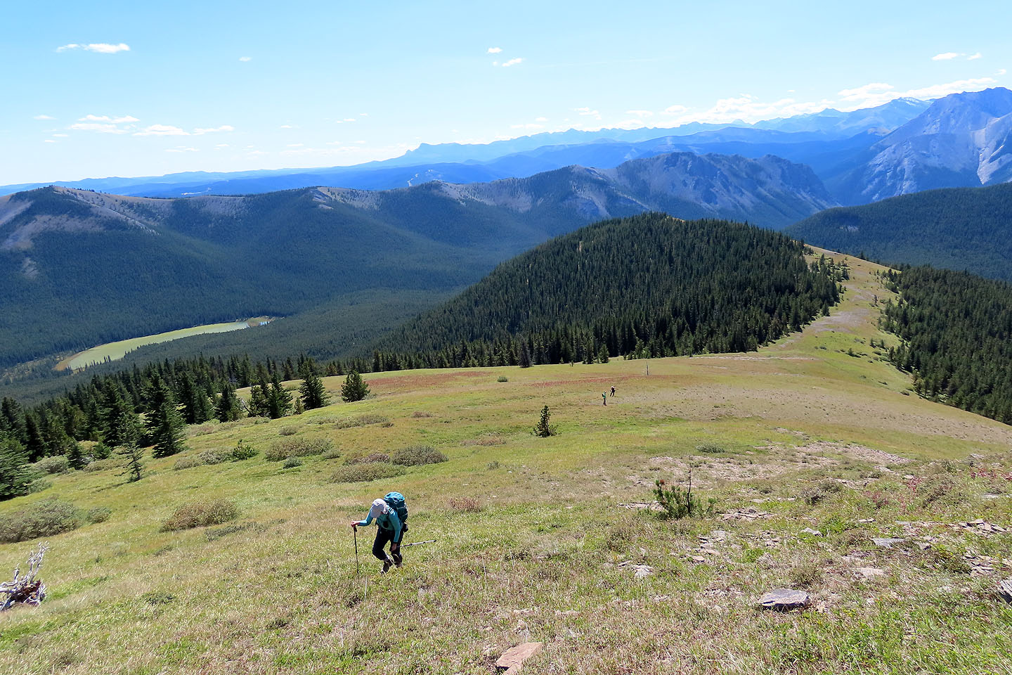
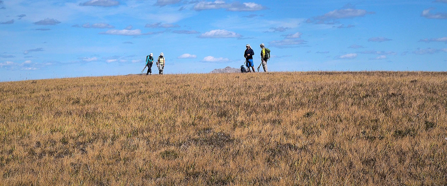
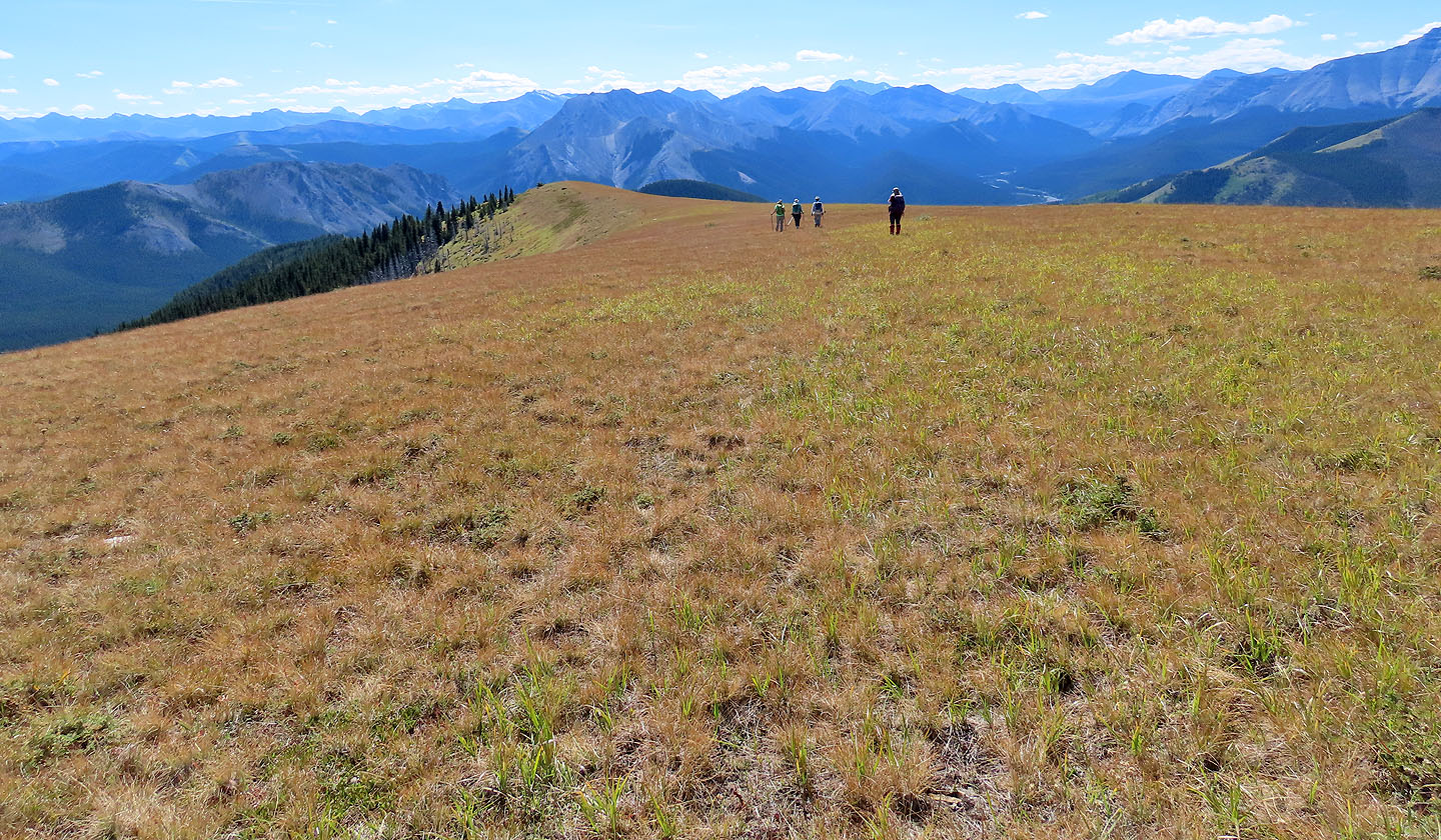
We were spread out along the ridge
We regrouped on the broad summit
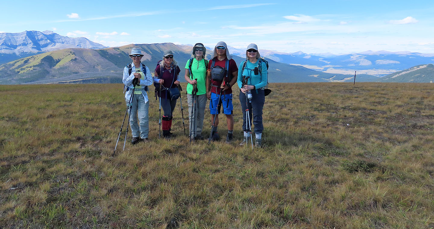
Zora, Christine, Bernadette, Jonathan and Dinah on the summit
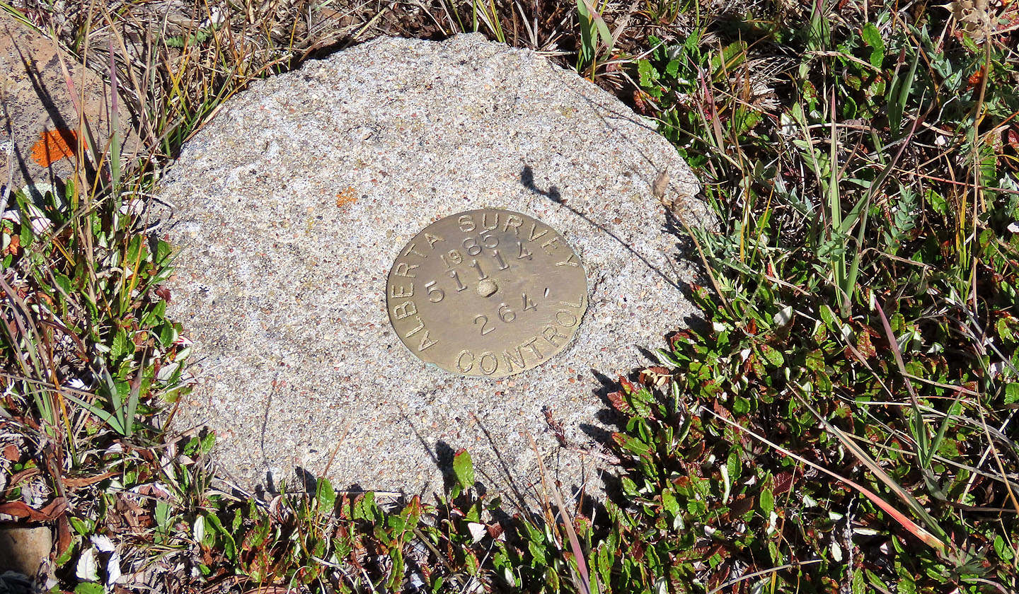
A survey marker appears on the top
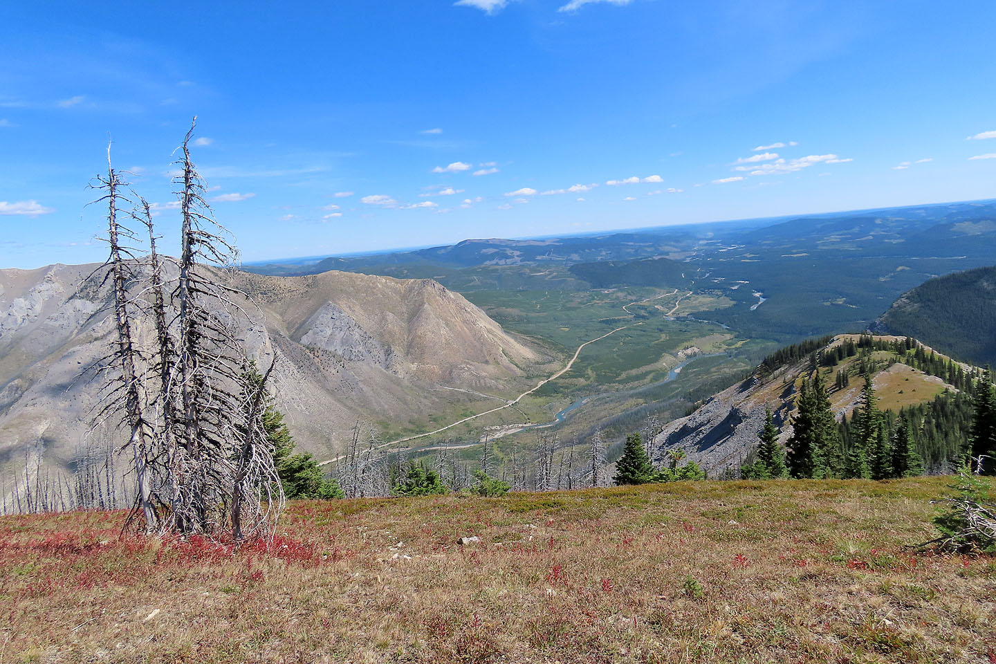
Looking down at where we parked, by the road leading to the river (mouse over)
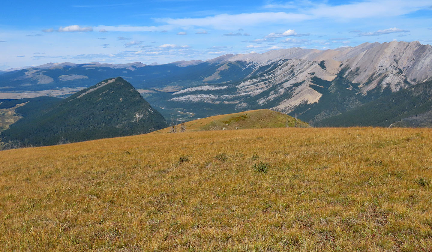
Looking north at nearby Labyrinth left and Maze Peak right (mouse over)
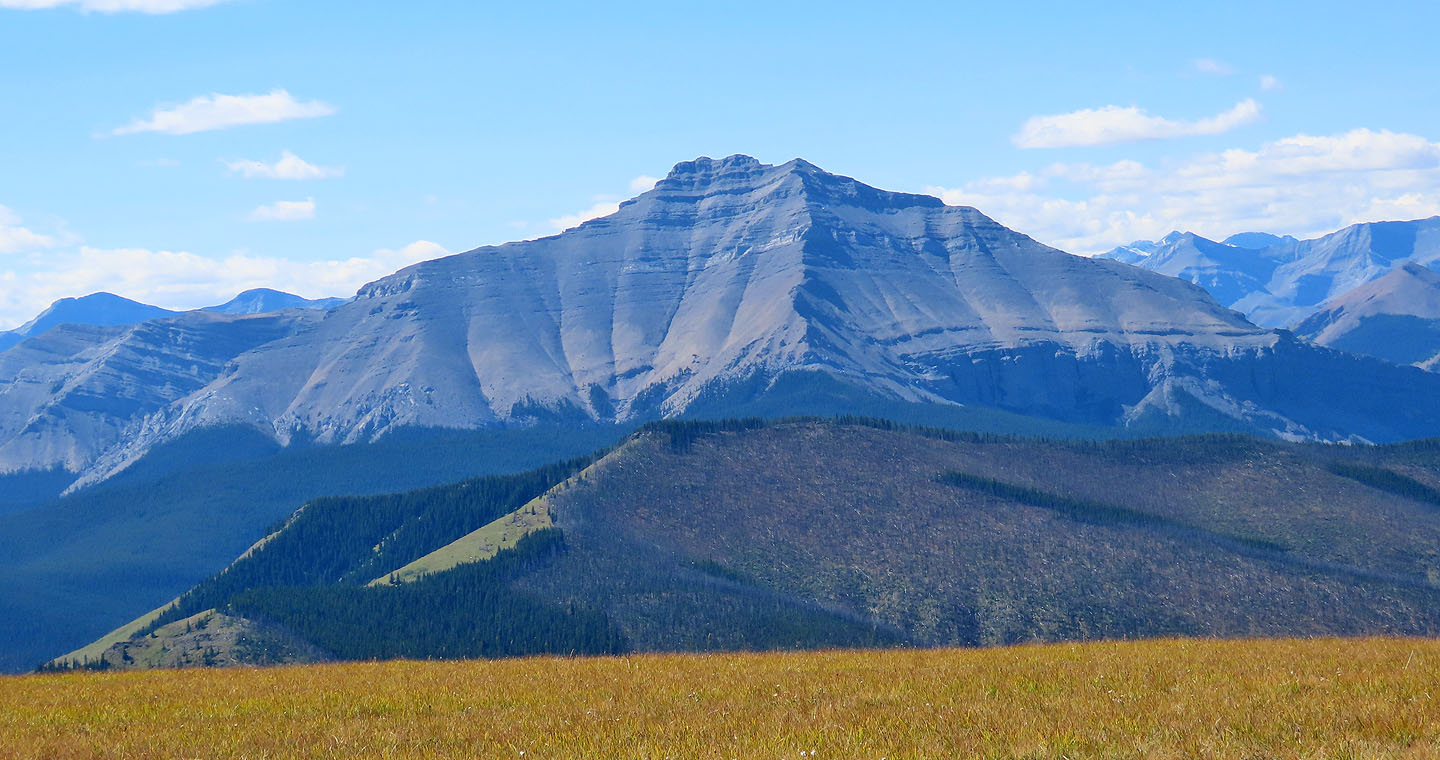
Dormer Mountain lies west
Heading back
We dropped down the west slope. Diamond rises above the lake (mouse over).
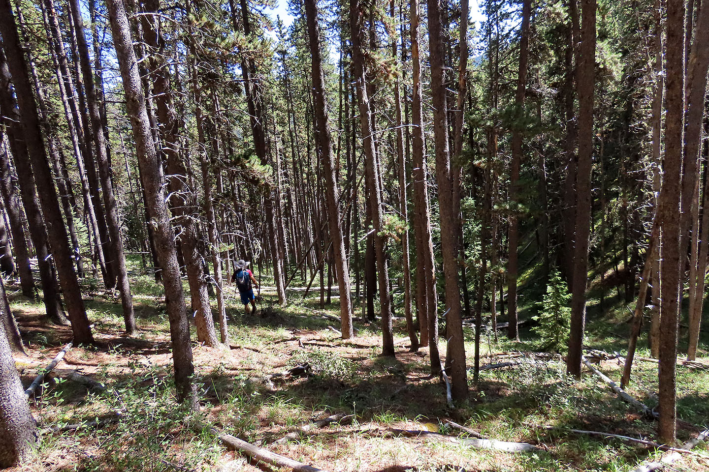
Travel was fairly easy in the trees
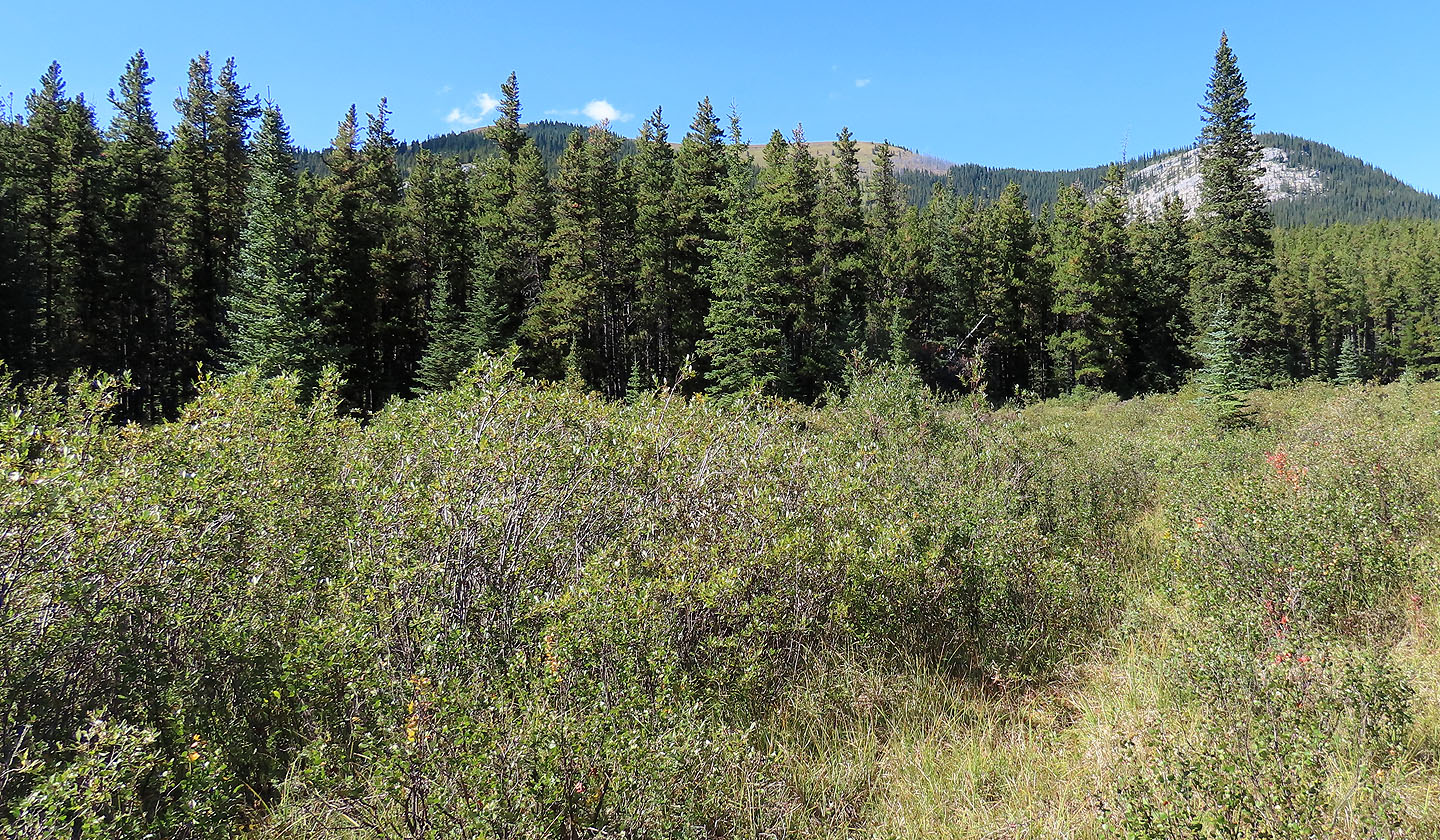
We kept left of a gully
Looking back at Minos from the lakeshore
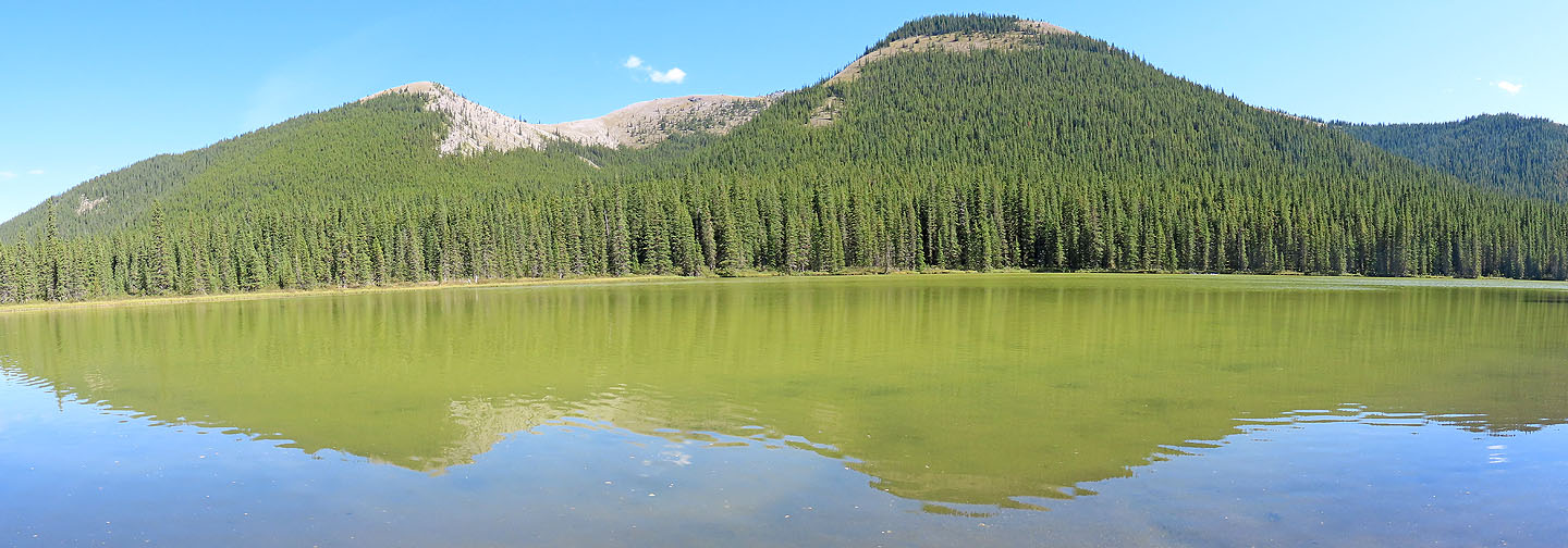
Unnamed Lake
82 O/11 Burnt Timber Creek