bobspirko.ca | Home | Canada Trips | US Trips | Hiking | Snowshoeing | MAP | About
 View from Teepee Mountain
Mount Stevens and Teepee Mountain
Cranbrook, B.C.
July 31, 2010
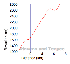
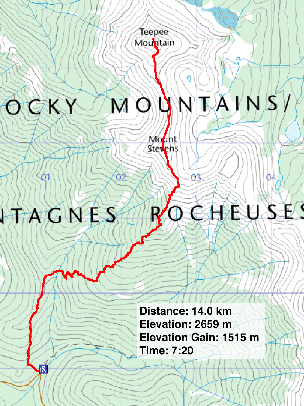
Distance: 14.0 km (8.7 mi)
Cumulative Elevation Gain: 1650 m (5413 ft)
Mount Stevens and Teepee Mountain are straightforward and straight-up hikes. Save for a dip near the beginning, it's an unrelenting steep ascent to reach Mount Stevens followed by a relaxed traverse of the col and a steep climb to the higher Teepee Mountain.
On Sonny's invitation, Dinah and I joined him for a weekend in B.C. On our first day, we climbed Stevens and Teepee, northeast of Cranbrook and about a 1.5 hour drive from Fernie.
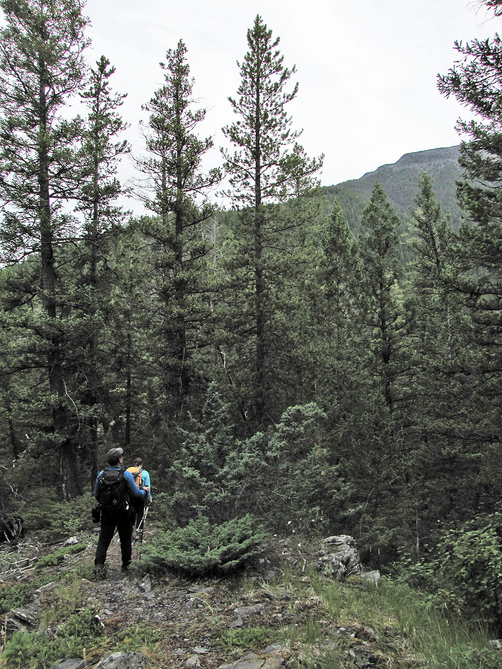
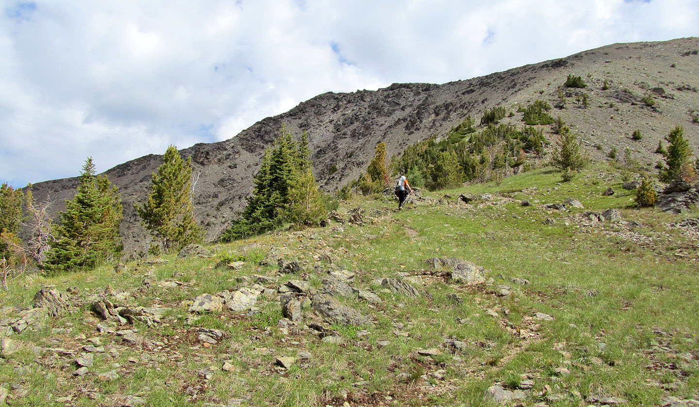
A good trail climbs the wooded slopes, so easy we gained nearly 500 m in the first hour, although with trees blocking our views there was no reason to tarry. After gaining another 500 m, trees began to fall away, and we got glimpses of distant scenery. Then the summit ridge of Stevens came into view.
The ridge rose above the treeline like a rocky spine, yet it was an easy hike up the trail to the summit. Three hours after starting, we were on the summit. Teepee Mountain was close, but first we stopped for lunch.
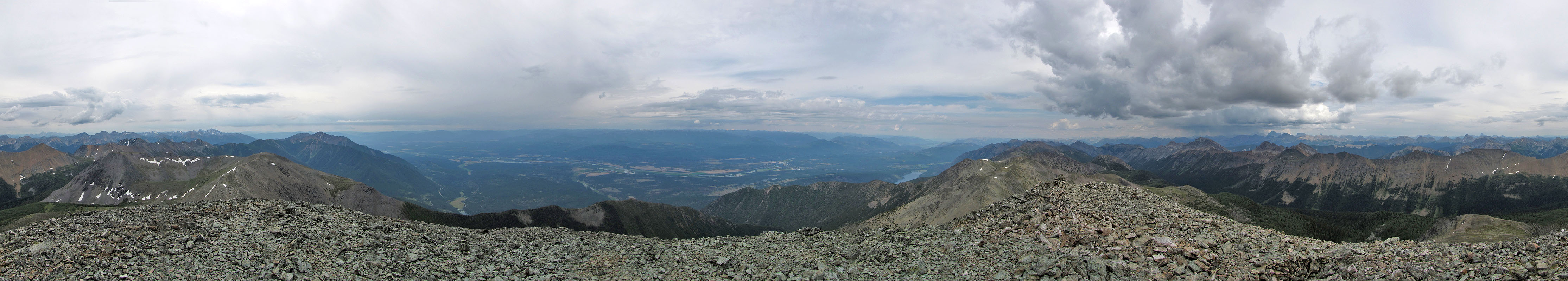
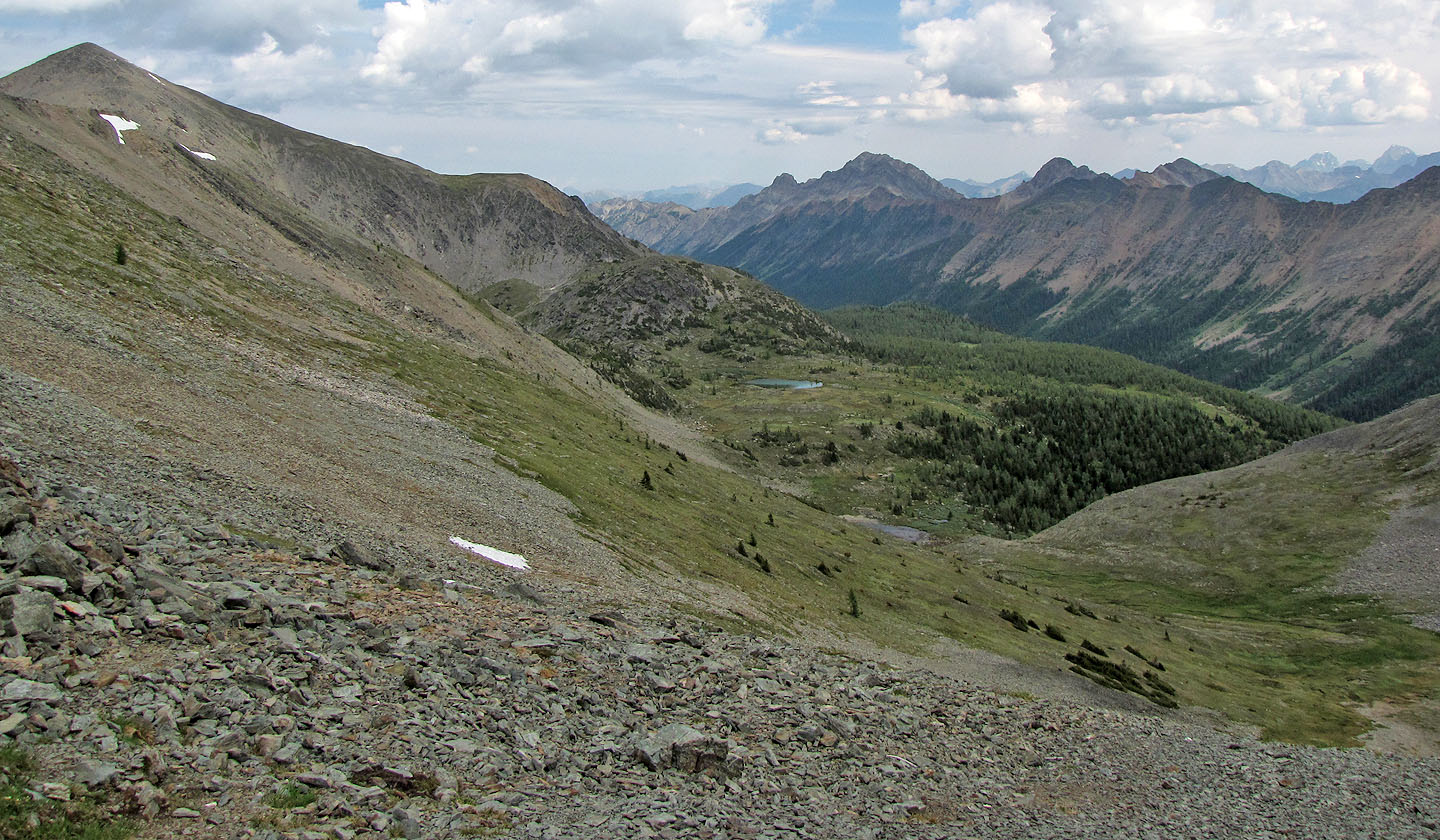
There was little to see from Stevens. It was cloudy, and views west across the Kootenay River Valley were hazy. Northeast, we noted dark clouds where a distant storm rumbled.
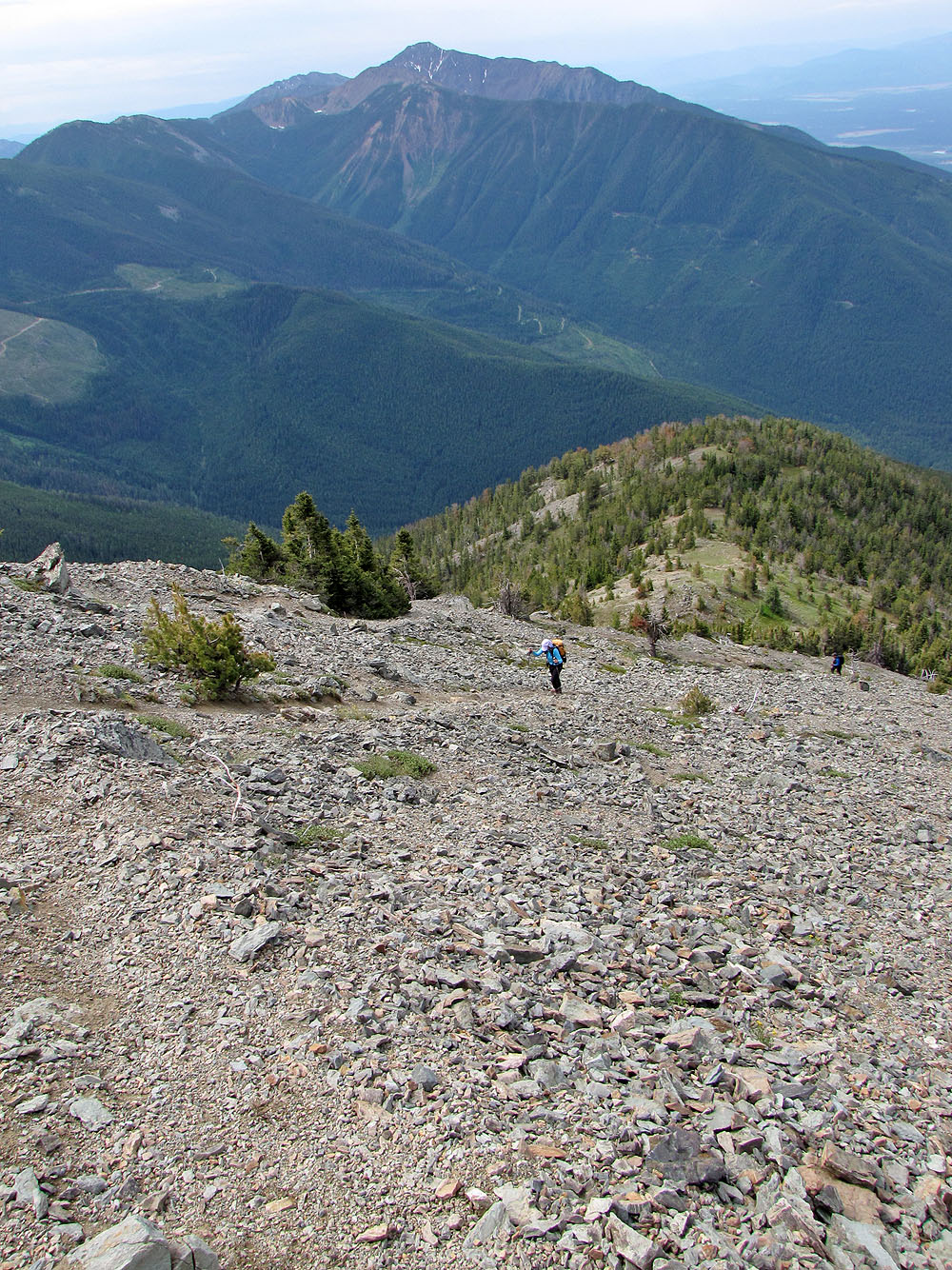
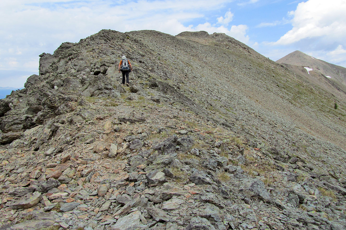
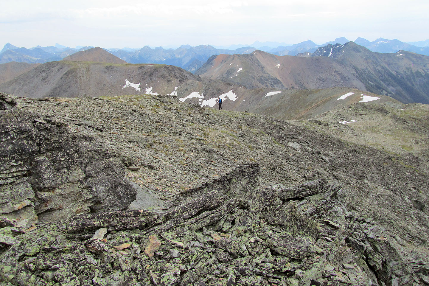
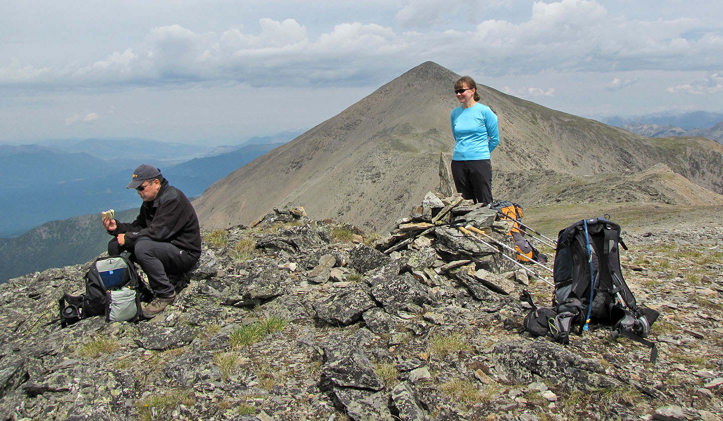
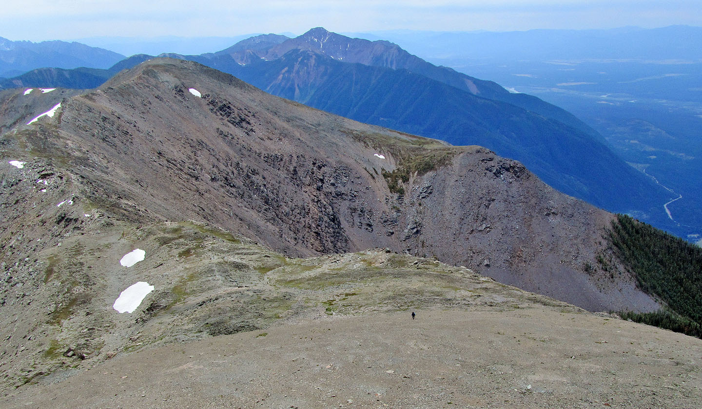
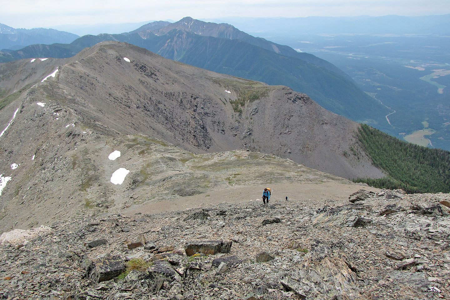
After lunch we dropped 60 m down to the col and ascended 200 m to Teepee's summit. The added exertion was worth it. From its summit, Stevens looked like an insignificant bump. After a long stay, we headed back.
Two and a half hours later, we were back at the car. Dinah and Sonny were left with sore feet after pounding back down the trail, but we were all pleased with our efforts.
KML and GPX Tracks
Sonny's Trip Report
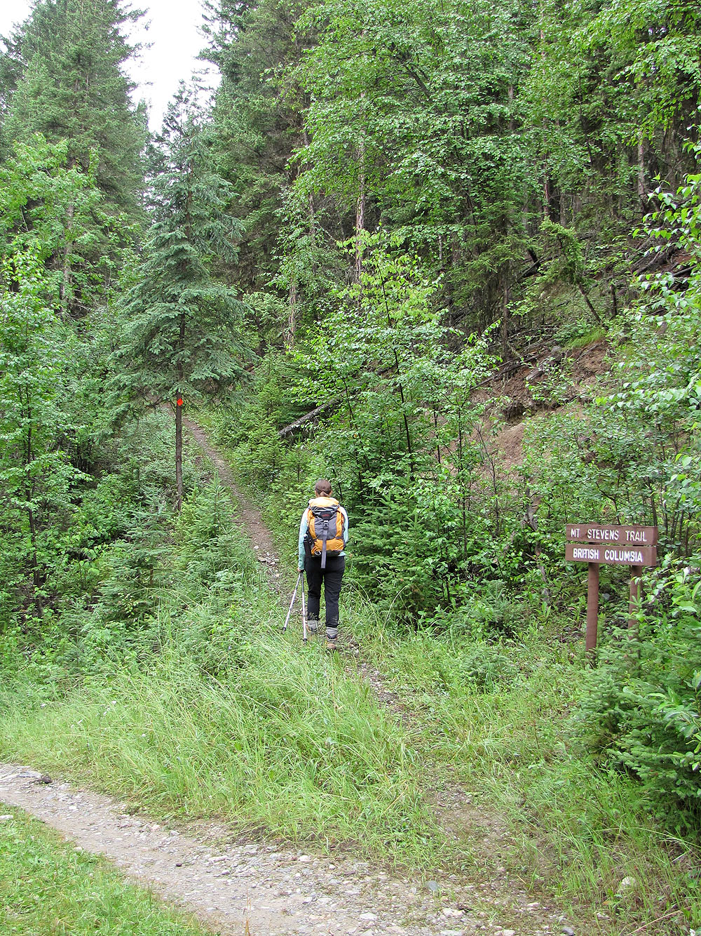
Mount Stevens trailhead
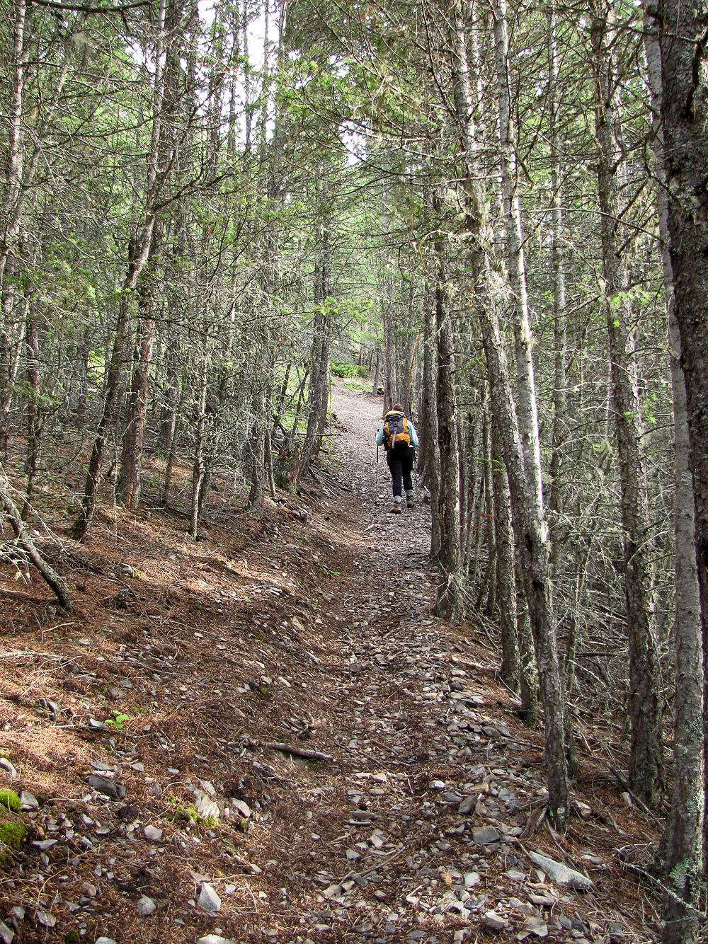
A good trail leads to the mountain
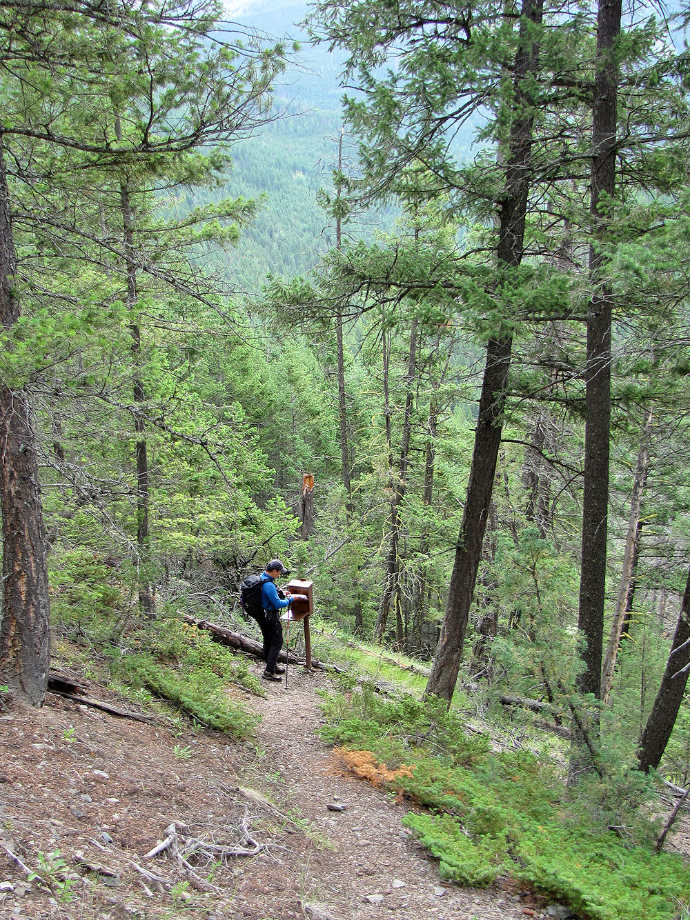
Sonny signs the register near the start
We got a glimpse of the summit ridge
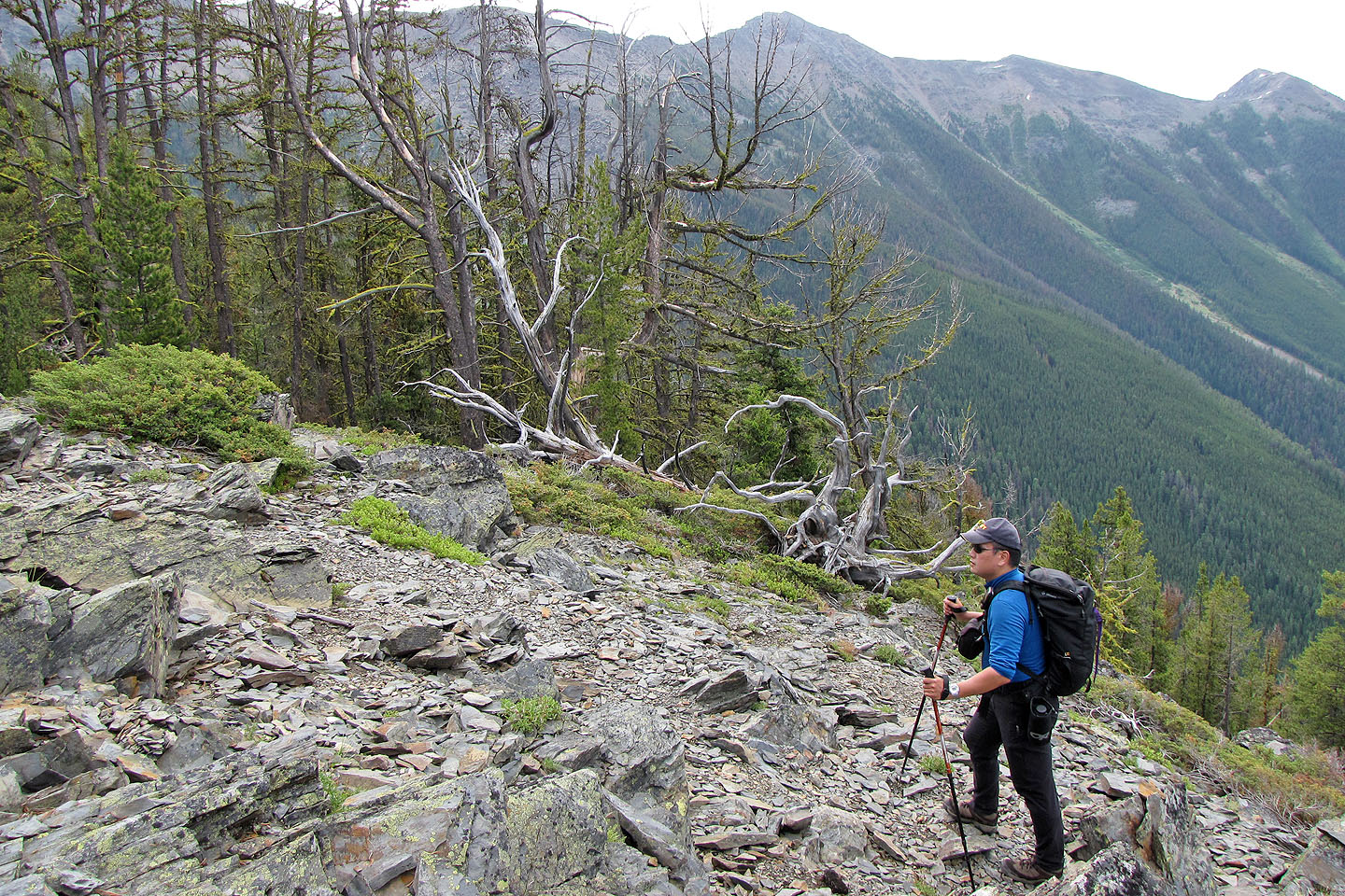
The trail finally leaves solid forest and enters mixed terrain
Mount Stevens summit is the high point left of centre
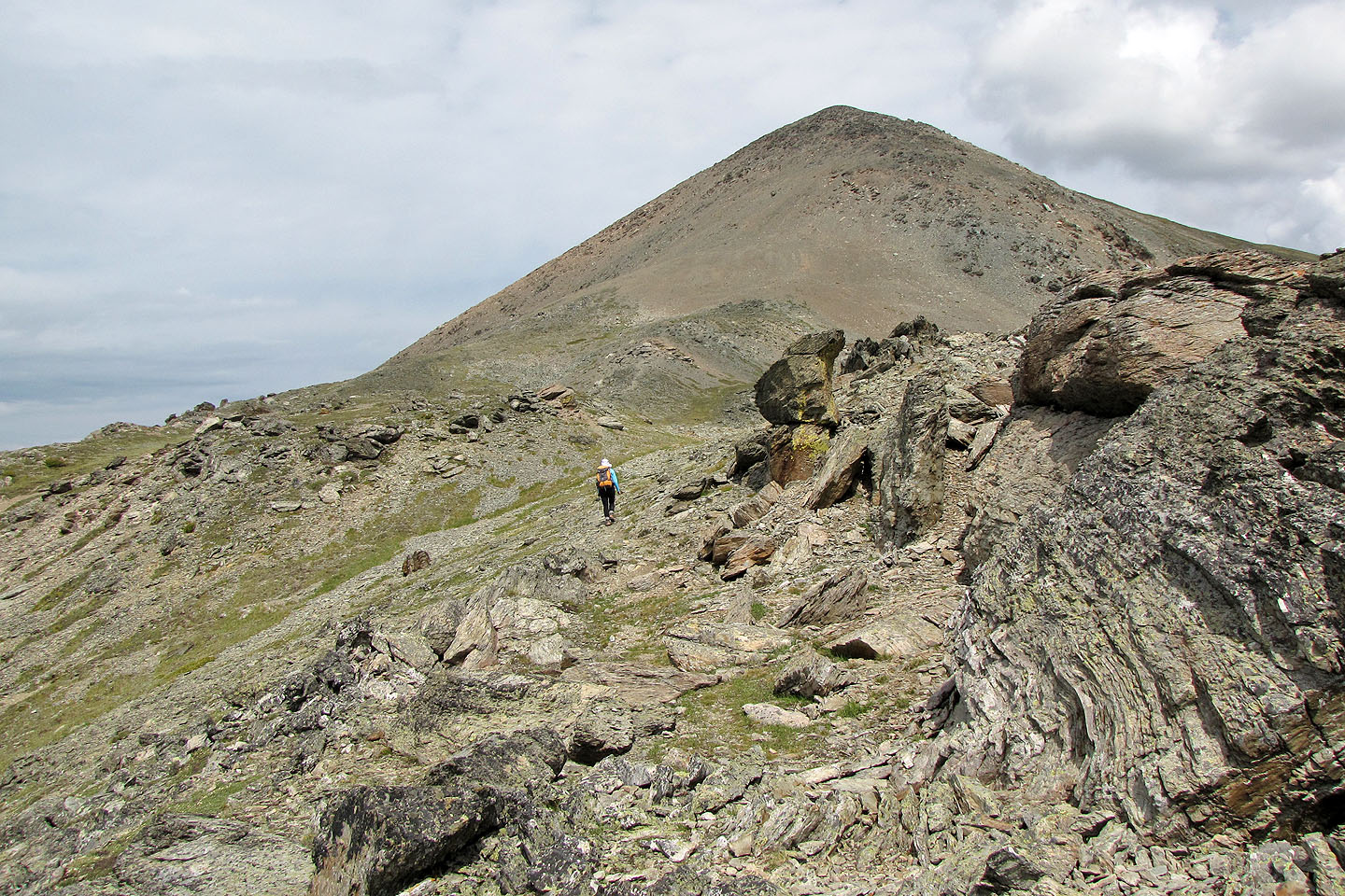
The trail continues up scree to the ridge crest
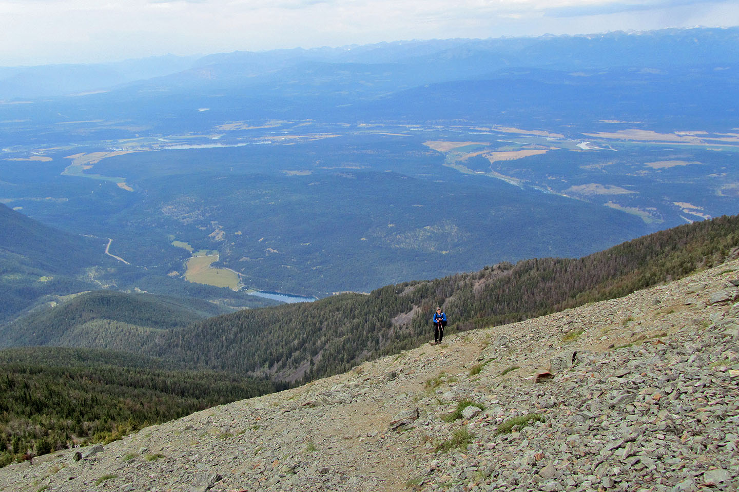
Haze hampered any far-ranging views we had
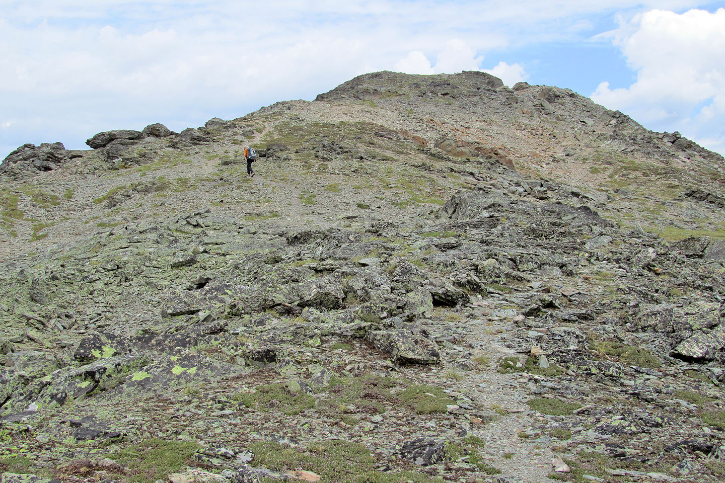
We followed the trail to the ridge crest
Switchbacks to the ridge
Looking north at Teepee (left) and Mount Wirth (centre, mouse over for a close-up)
Heading to the summit of Stevens
Looking back from the summit
Lunch on Mount Stevens
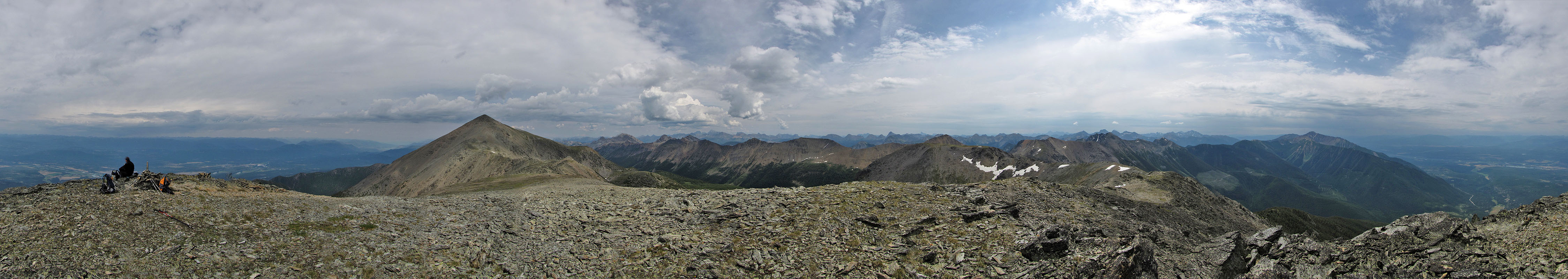
Panorama from Stevens
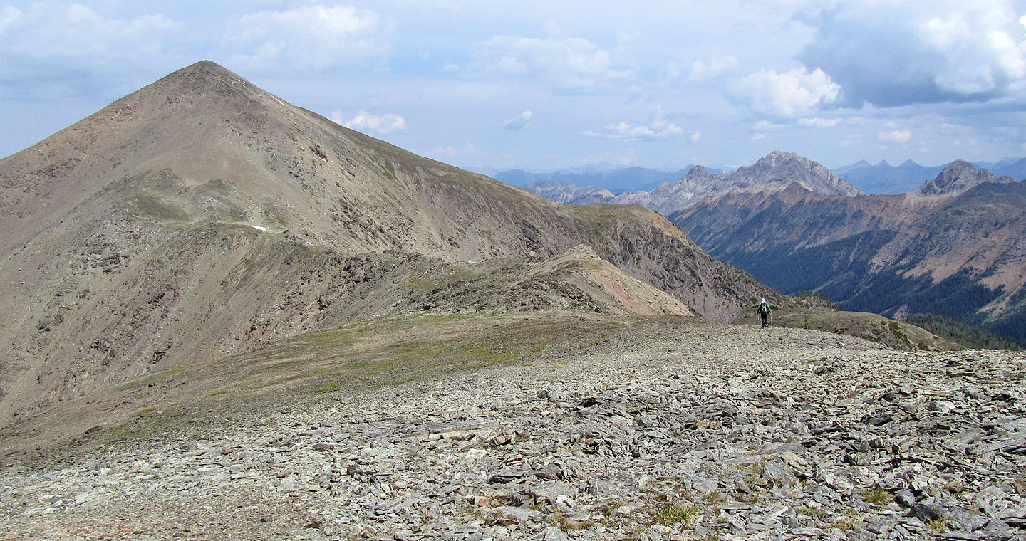
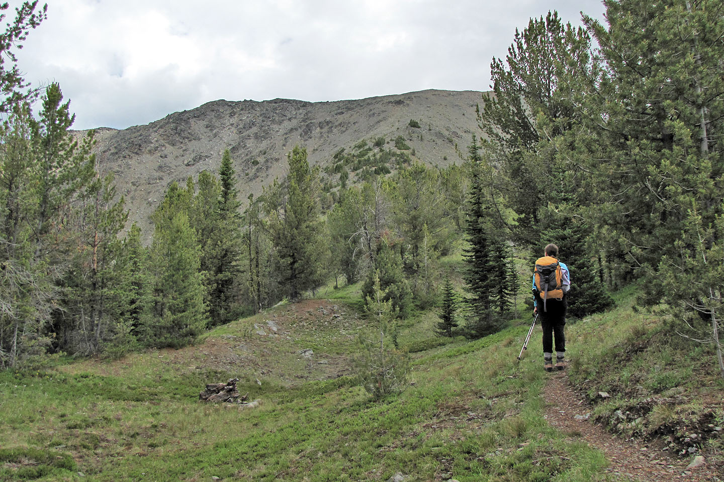
Heading to Teepee
Traversing the col (mouse over to look back)
Sonny is the last to ascend Teepee
Looking back at Stevens
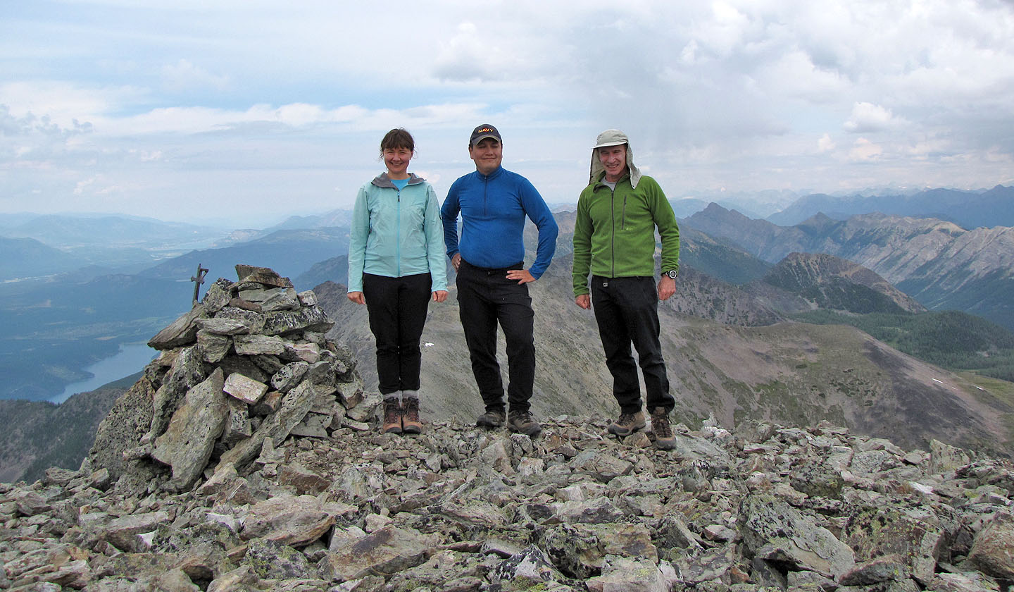
Standing by one of the cairns on Teepee
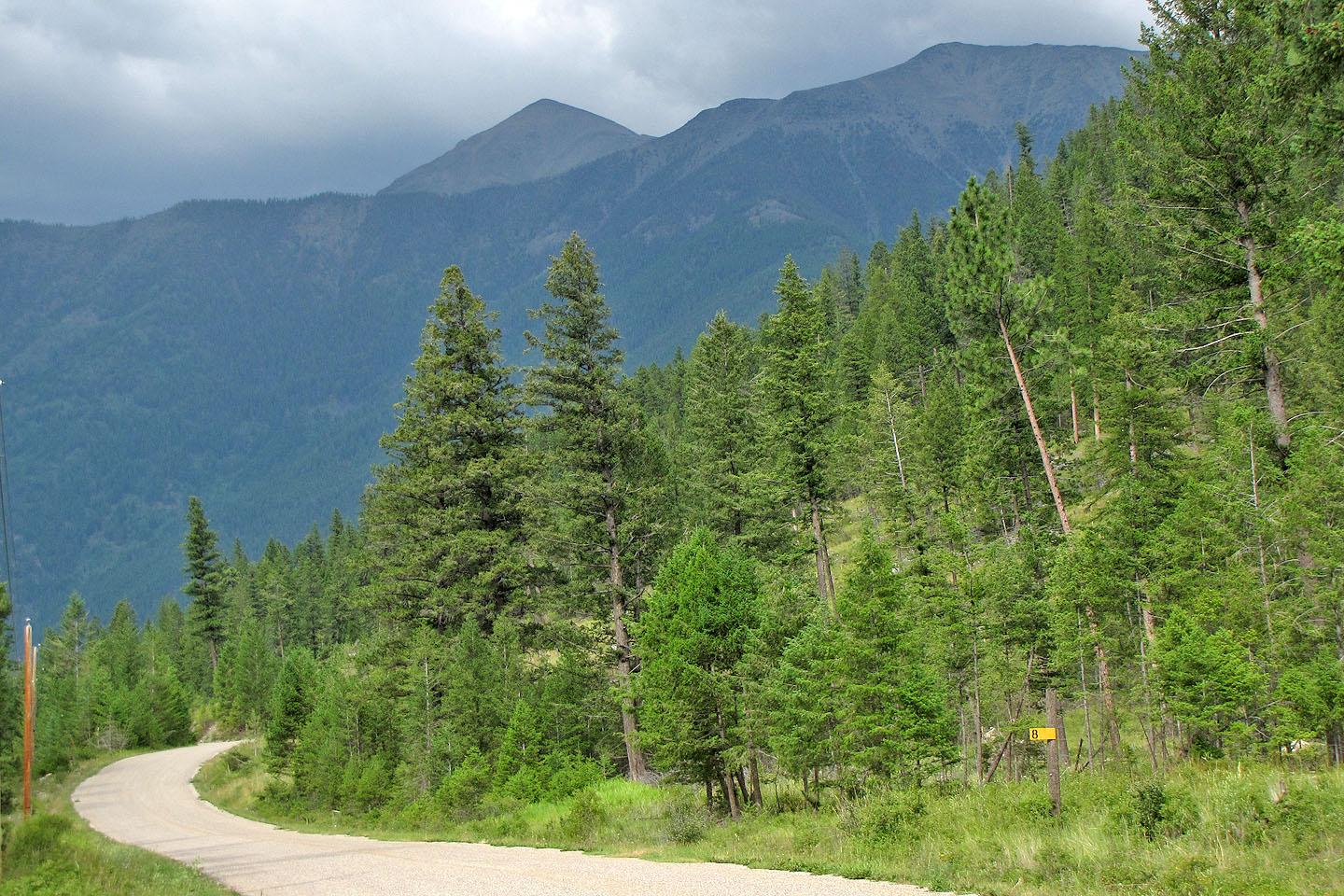
Teepee Mountain and Mount Stevens seen from the access road
82 G/13 Skookumchuck