bobspirko.ca | Home | Canada Trips | US Trips | Hiking | Snowshoeing | MAP | About
Hawk Ridge, Centre Peak
Kootenay National Park, B.C.
September 5, 2008
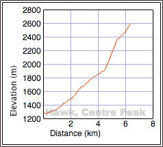
Distance: 13.0 km (8.1 mi)
Cumulative Elevation Gain: 1350 m (4429 ft)
I've been curious about Hawk Ridge for a few years. The South Peak is the highest point, but being unfamiliar with the mountain, I wasn't sure of the best approach. However, looking at the map, the route for the Centre Peak appeared straightforward.
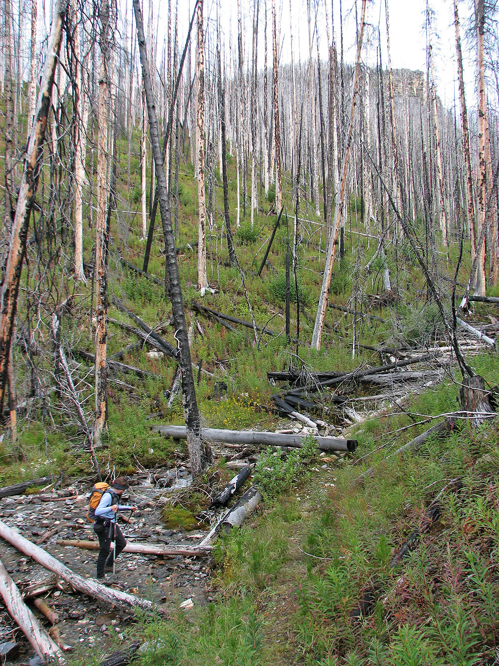
Dinah and I parked at the trailhead for Honeymoon Pass/Verdant Creek at Vermilion River Crossing. Apparently the overgrown trail had seen little traffic, but it was easy to follow and clear of deadfall.
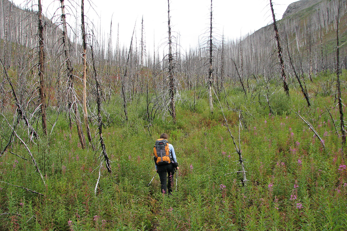
We didn't know the best place to start climbing from Honeymoon Pass to go for the peak, so we hiked to the top of the pass and hoped a way up would present itself. It didn't. Cliffs stopped us from ascending from the pass, so we traversed back until we reached a steep, treed slope. We ascended it until we reached the treeline.
After emerging from the trees, we couldn't see the summit, but we could climb either the grassy ridge on the left or the rocky ridge on the right. The two ridges converge at the summit ridge. We chose to head up the rocky ridge since it was closer. The gentle grade allowed us to hike to just below the summit, where we easily scrambled to the top.
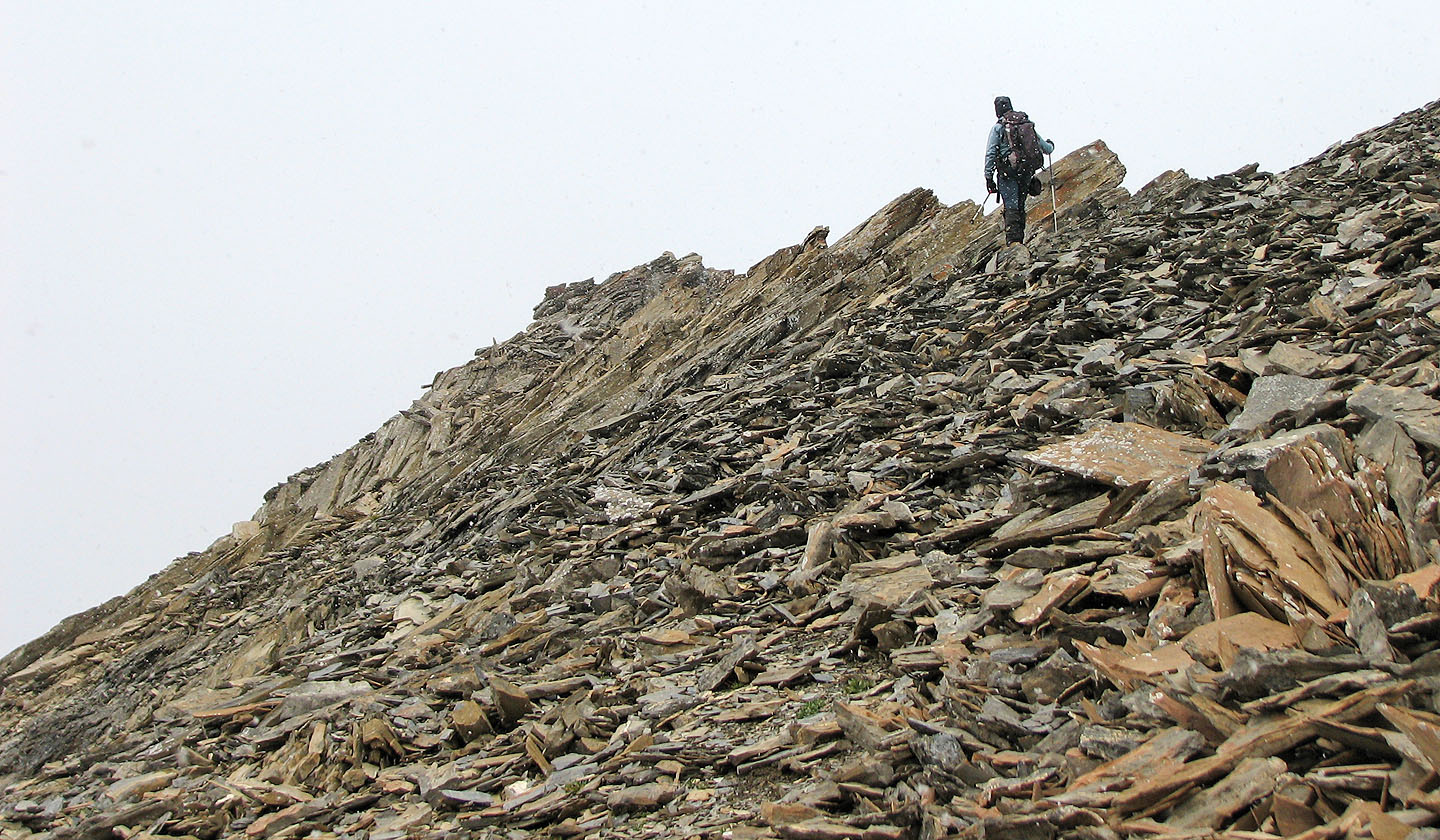
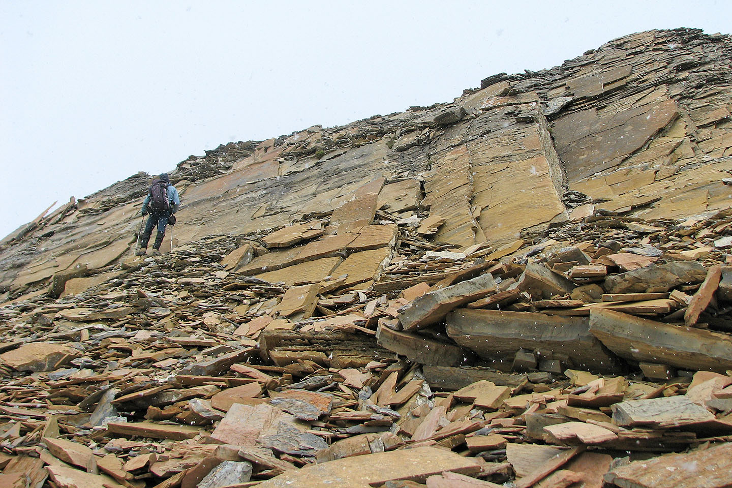
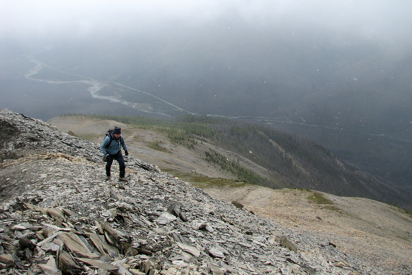
Since we hadn't climbed in this area before, we looked forward to seeing new scenery. Unfortunately, the weather was uncooperative. It began to snow before we reached the summit, and clouds moved in. Despite the lack of views, the ridgewalk was interesting and the shale formations fascinating.
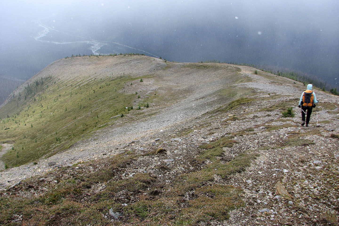
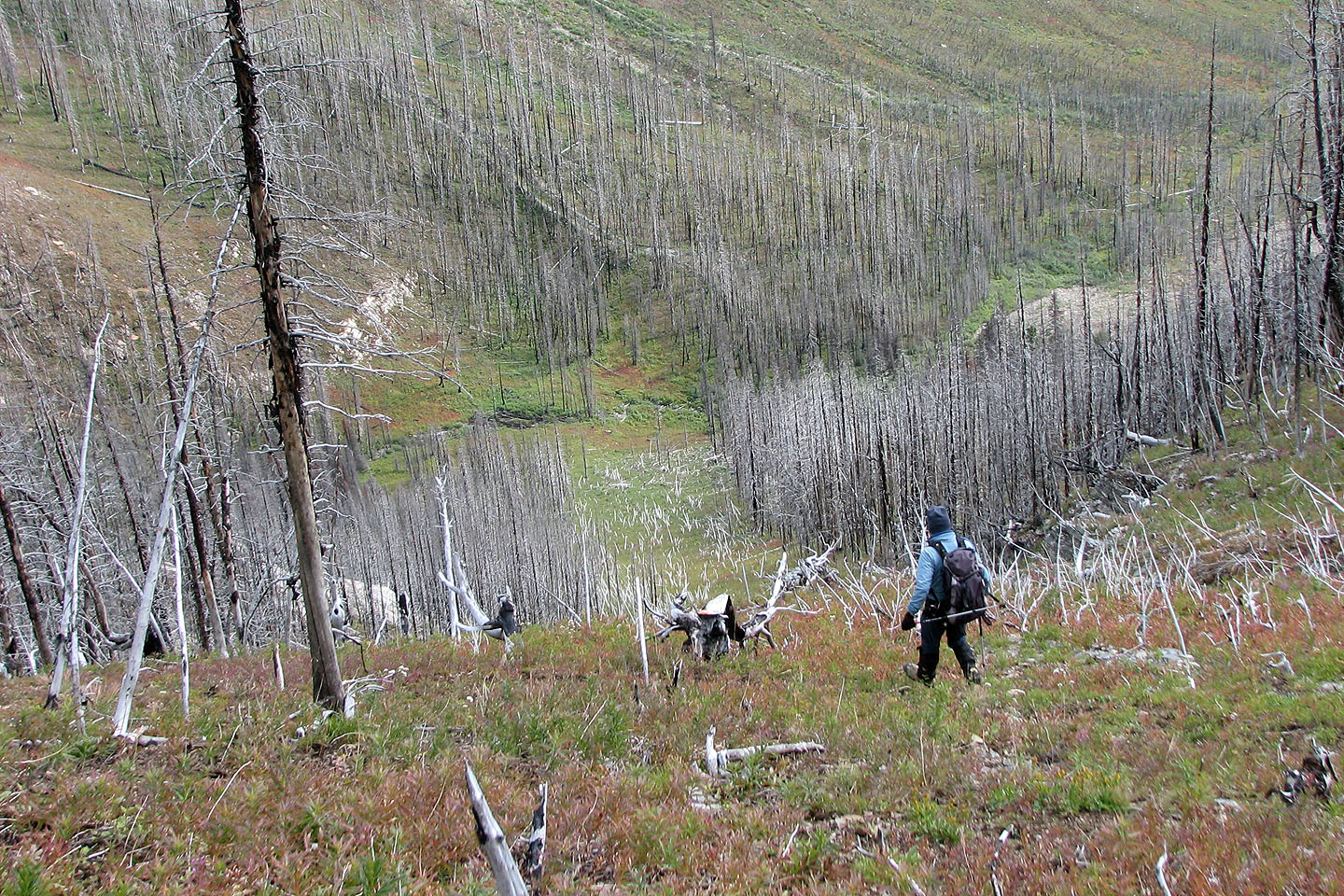
Instead of returning down the ridge, we ascended earlier, we followed the grassy ridge to its end before dropping down to a basin. An avalanche slope provided an open corridor in the trees down to the trail.
Reaching Centre Peak proved so easy, that it's a trip that would work well late in the season. There's no need to go all the way to the pass: the avalanche slope provides the best ascent.
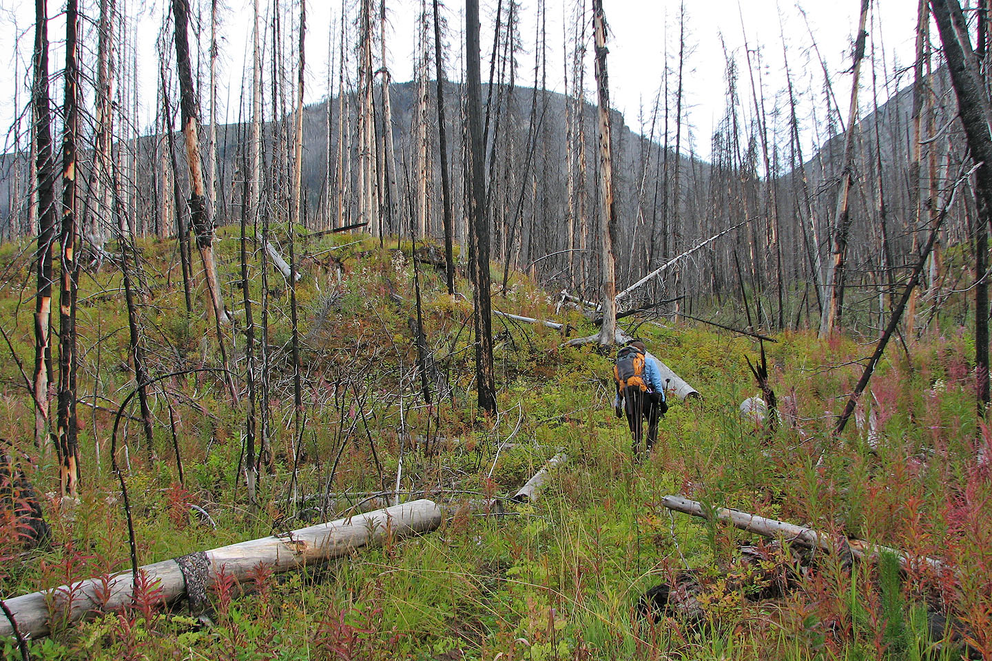
On the trail that leads to Honeymoon Pass on the right
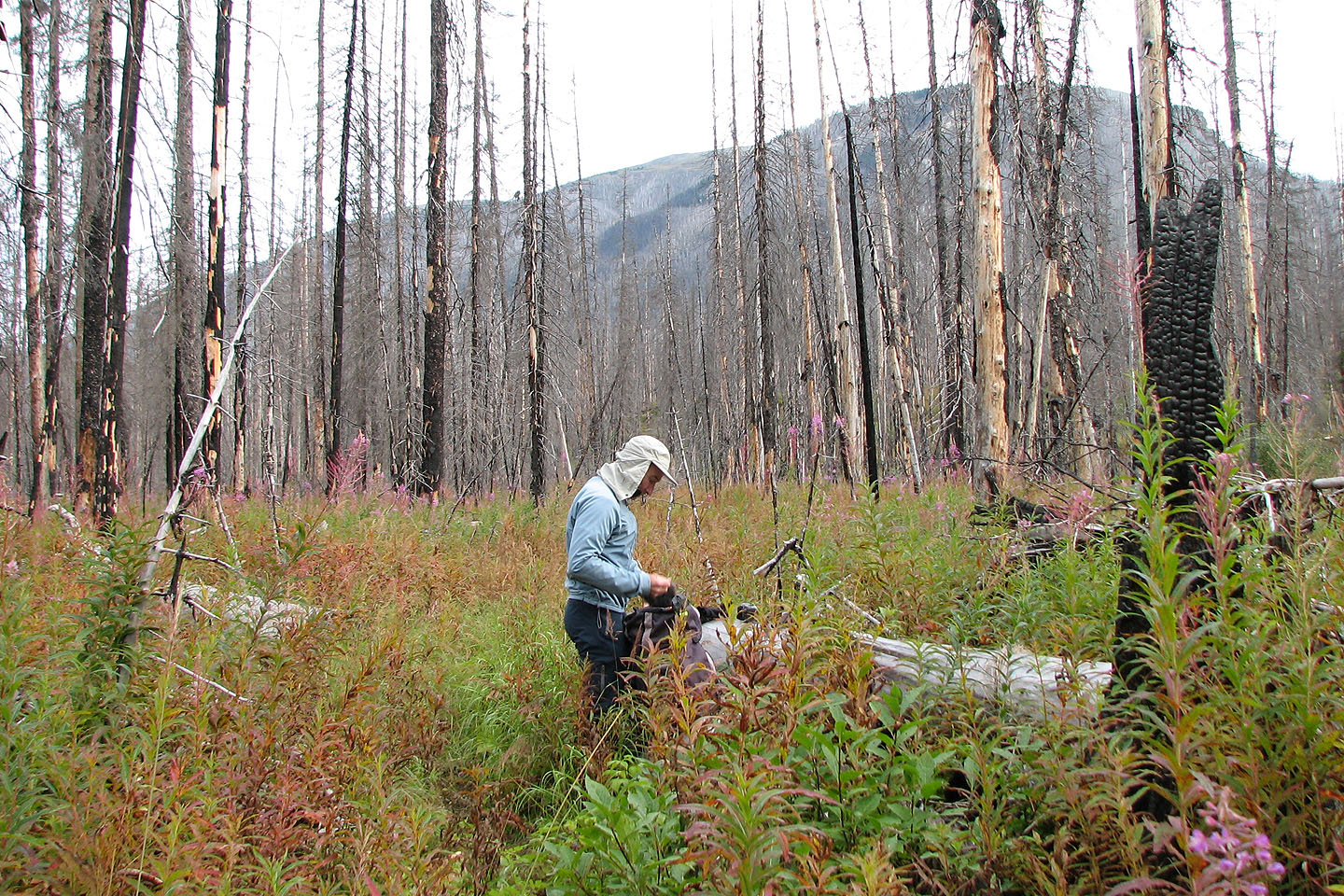
The trail is hidden in undergrowth. The summit is somewhere above us.
Spar Mountain to the south
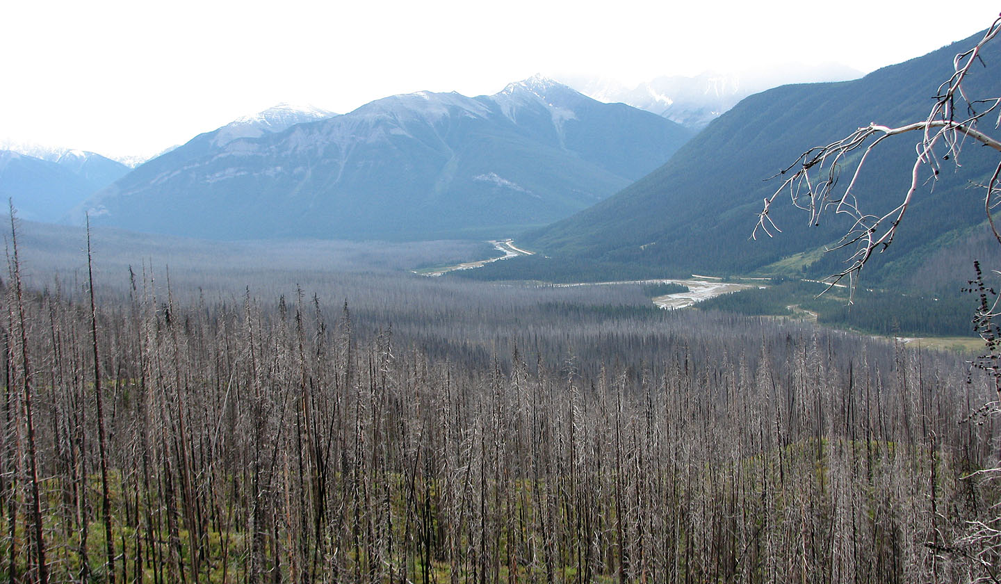
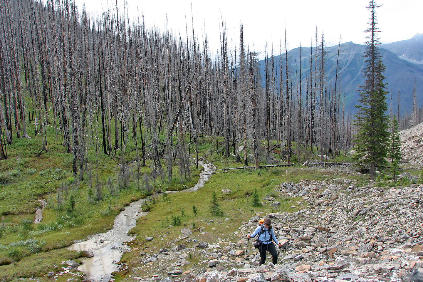
The trail crosses the creek
The trail now heads straight to the pass
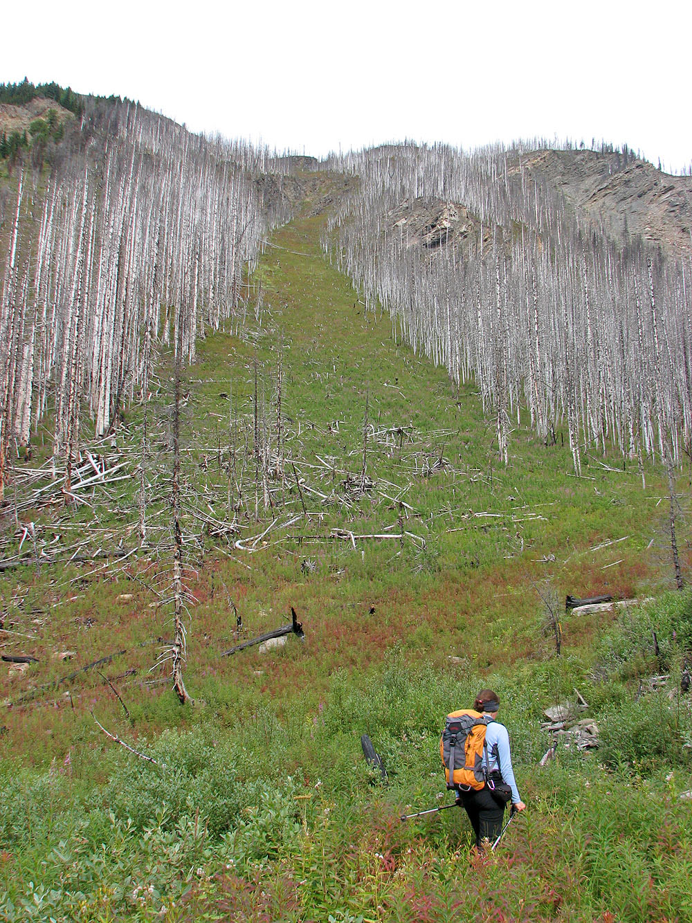
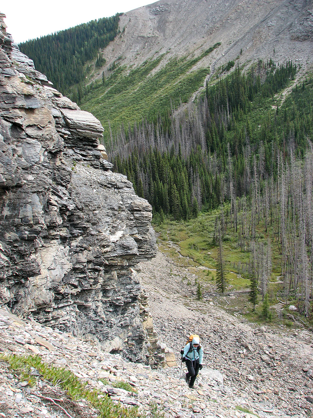
We were tempted to ascend this avalanche slope, but we knew we could gain another 100 m
of elevation on the trail. Later we realized this slope is the best approach and used it on our descent.
A cliff band stopped us from ascending directly from the pass, so we turned around and headed up the scree
slope on the right.
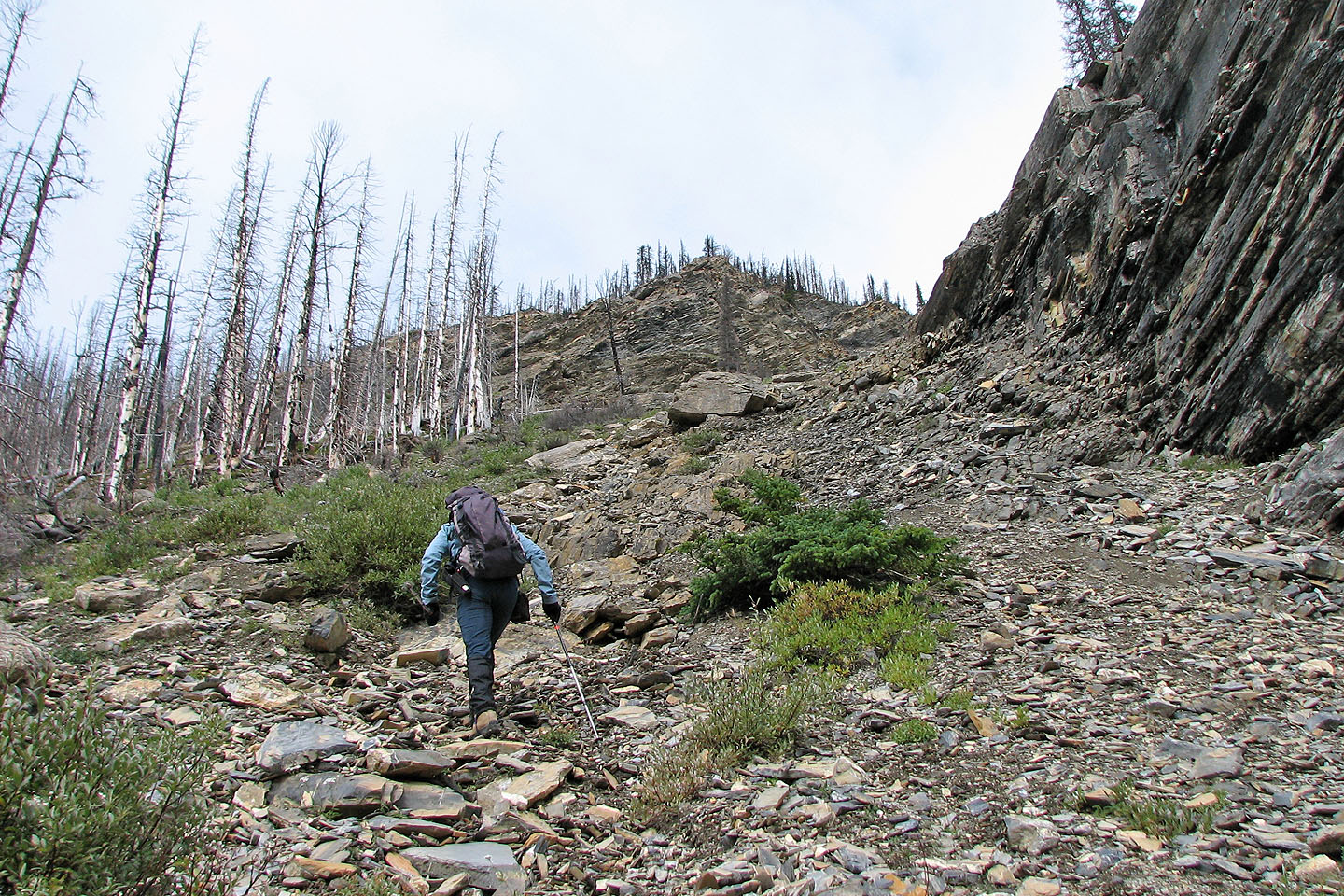
Rather than grovel up the scree slope, we traversed left to the treed slope
Looking down at the pass
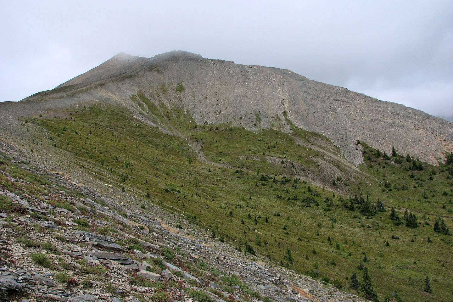
After a long ascent in trees we reached a meadow. On the right, the South Peak is barely visible.
From the meadow, we headed up a ridge
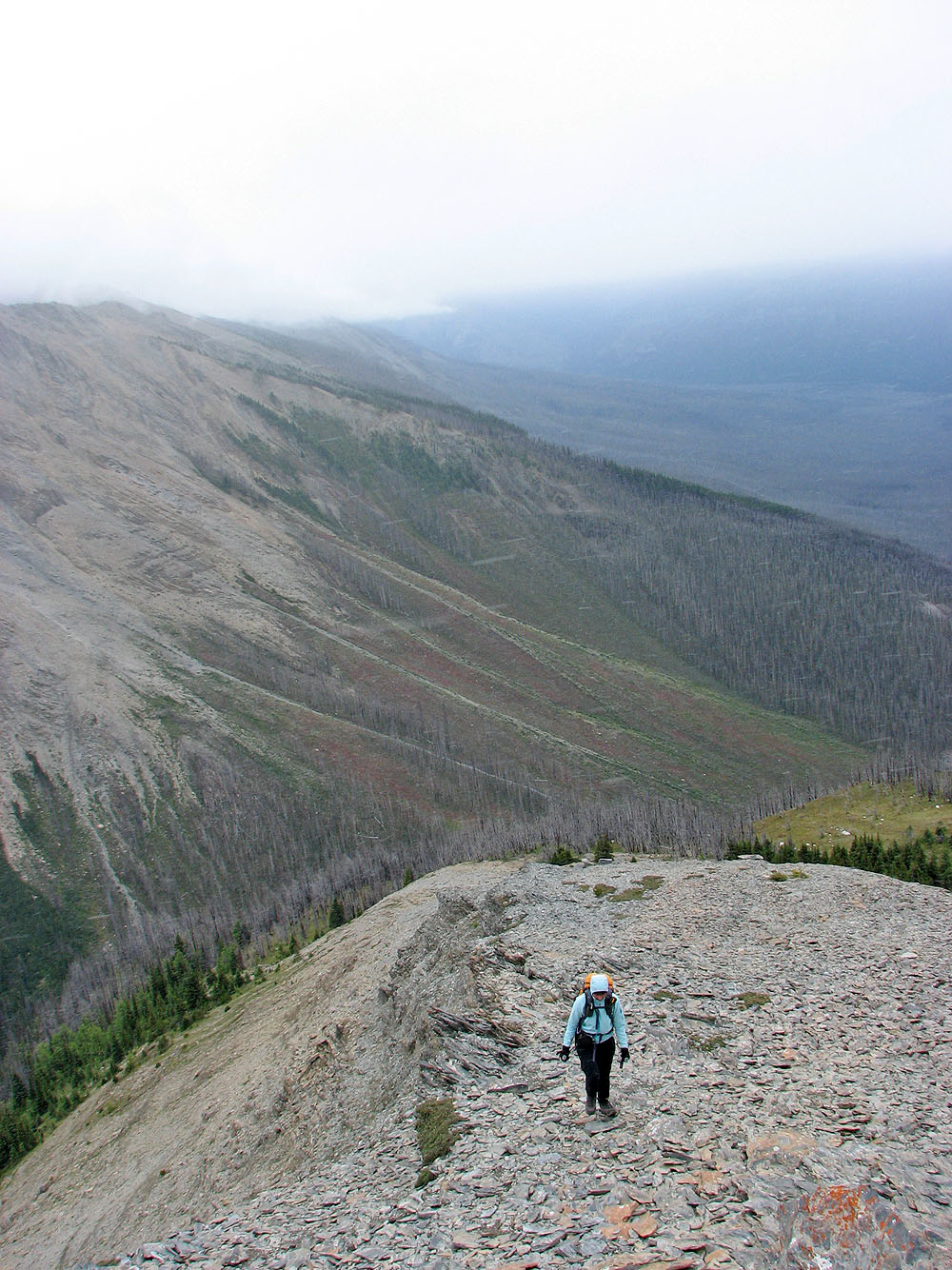
We left the meadow far below (right)
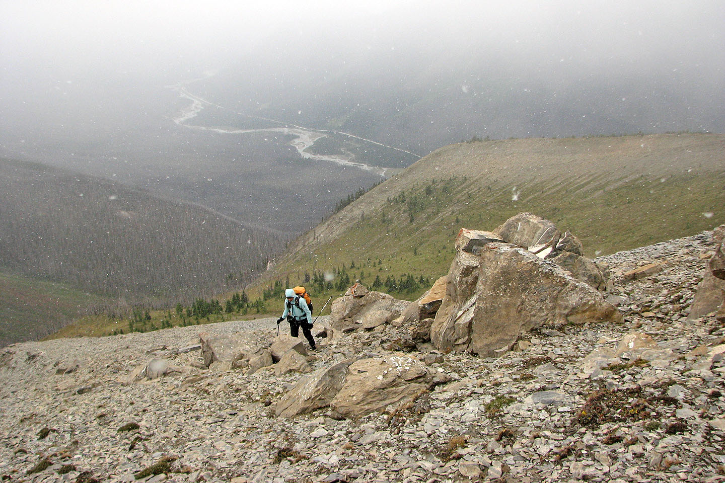
It began to snow, obscuring views south and west. Vermillion River lies below.
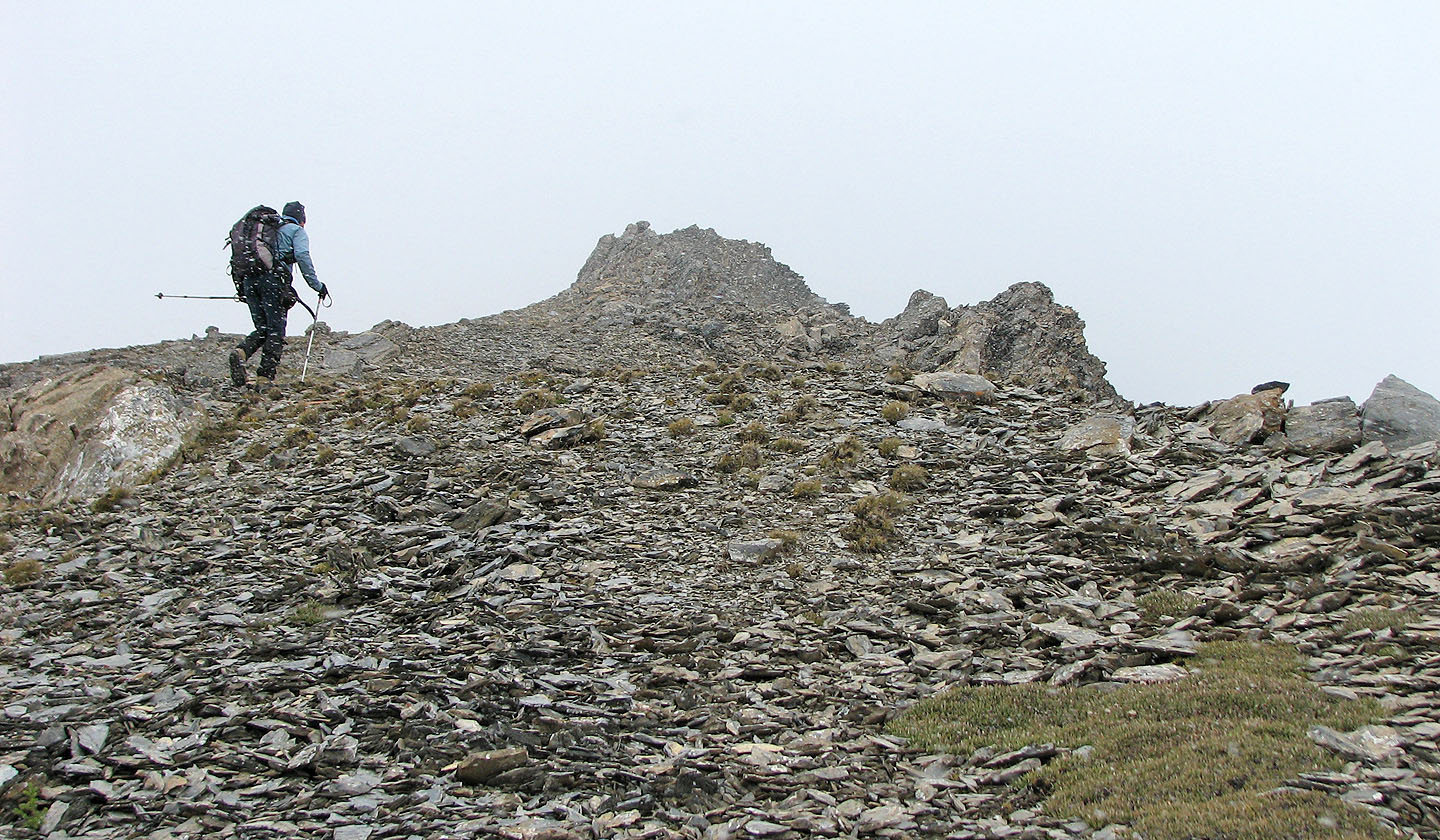
A false summit
A closer look at the false summit
Another false summit lies ahead
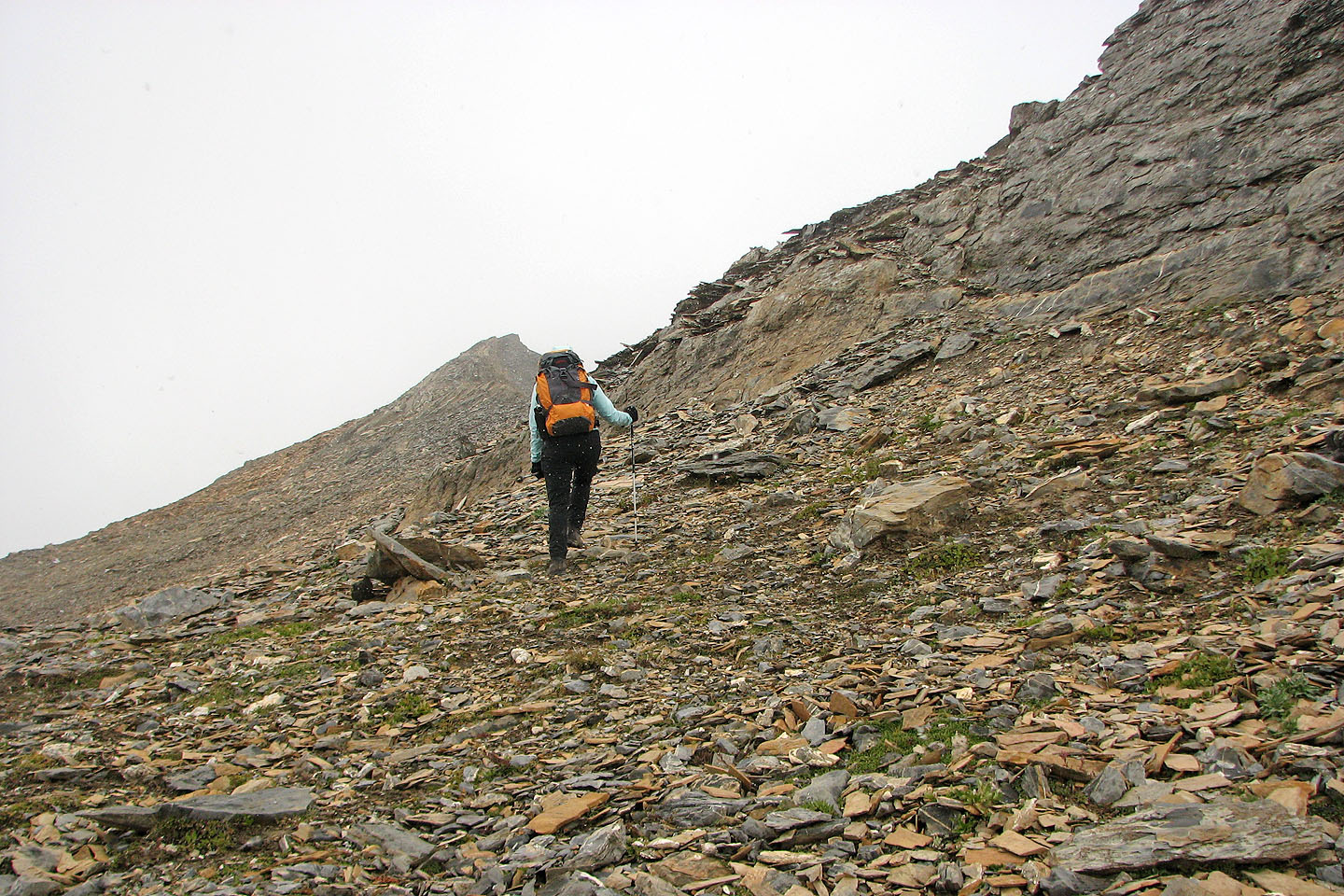
Sticking to the ridge offered more scrambling opportunities
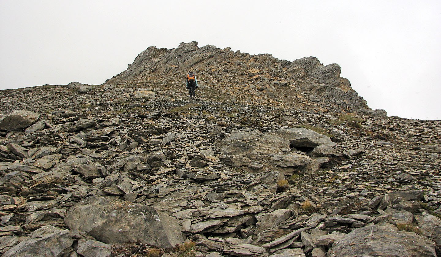
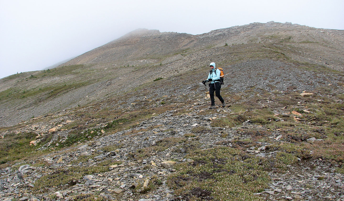
We're close to the summit now
Up until now, the ridge crest could be easily avoided
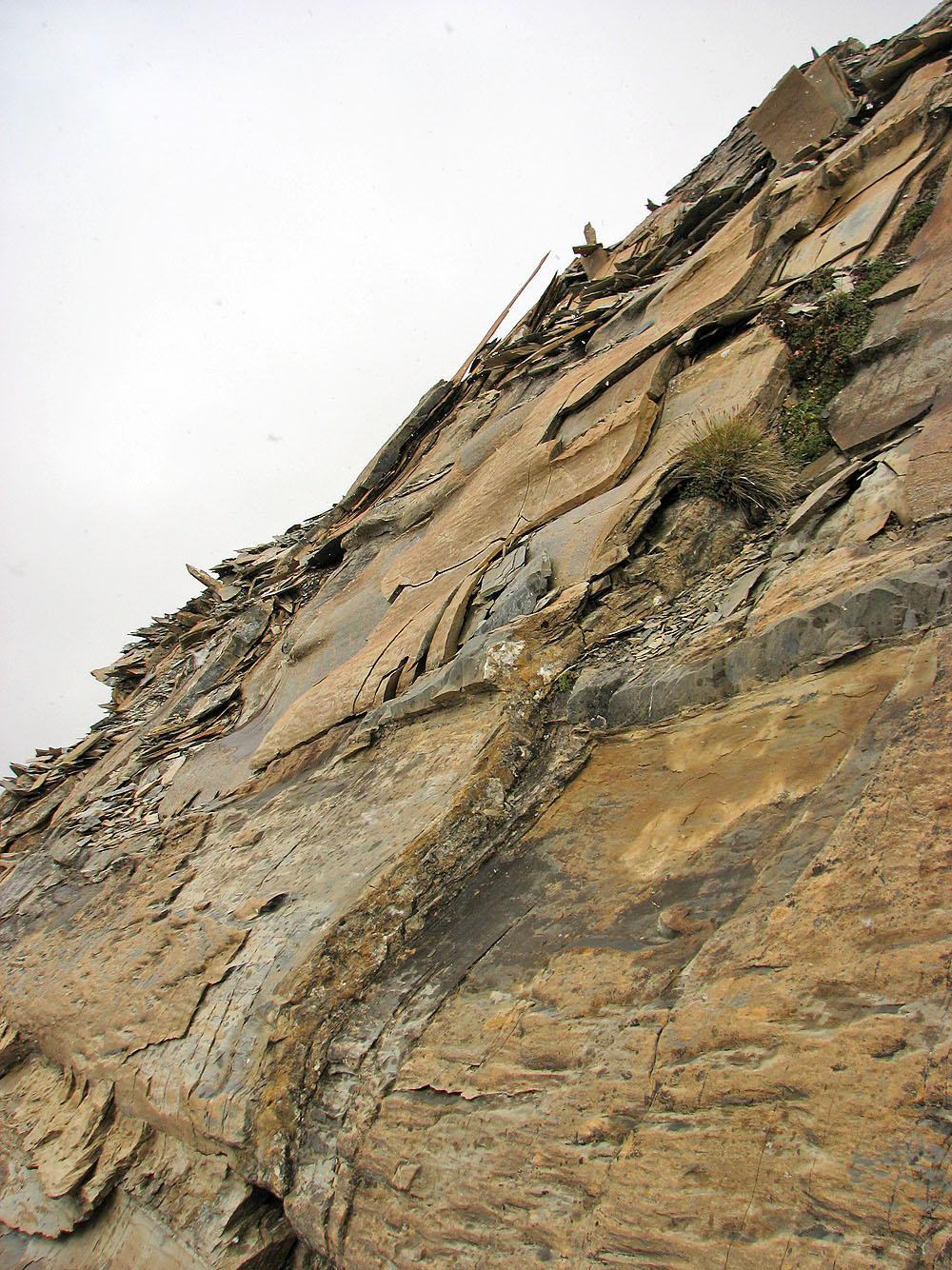
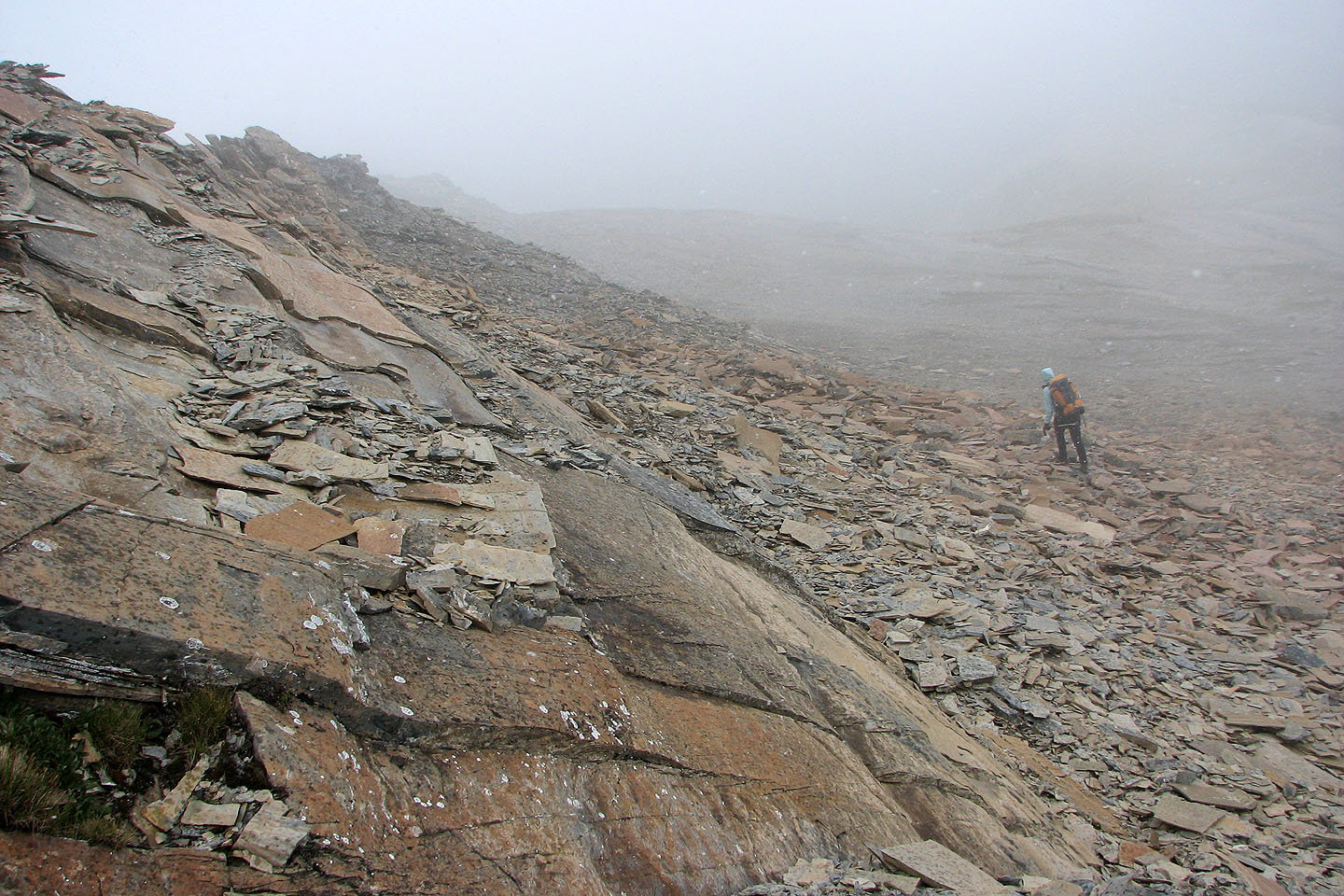
Cool-looking rock
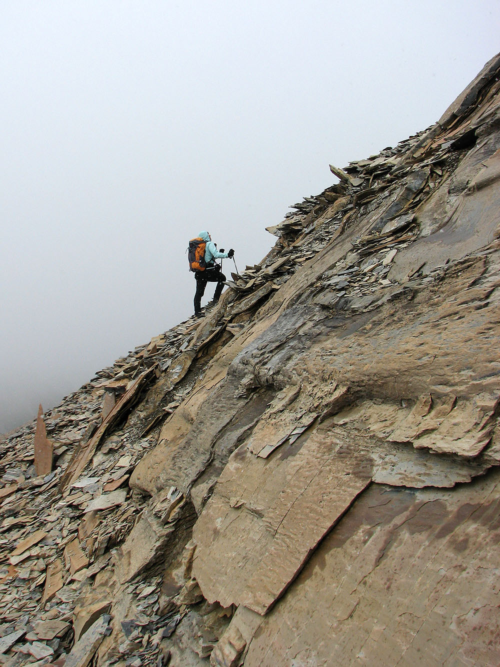
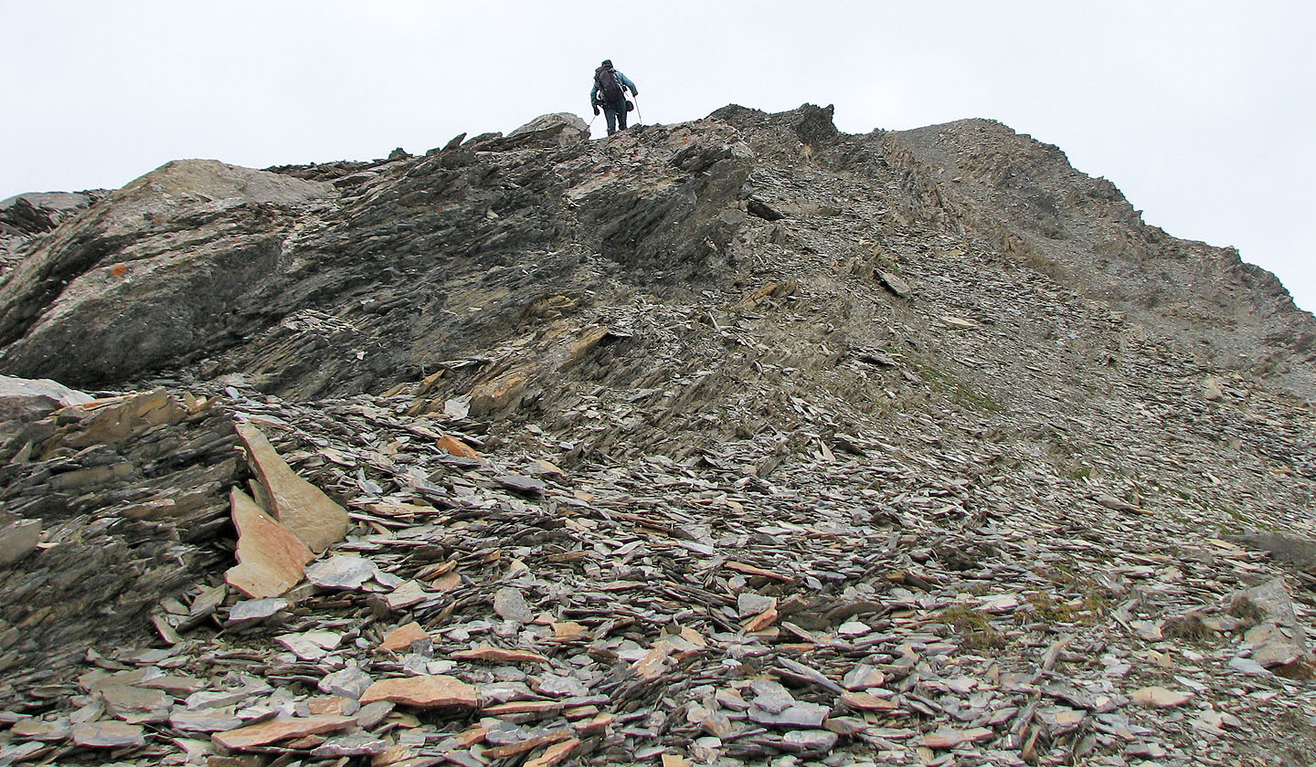
Dinah starts up the shale slope
Finally we see the summit
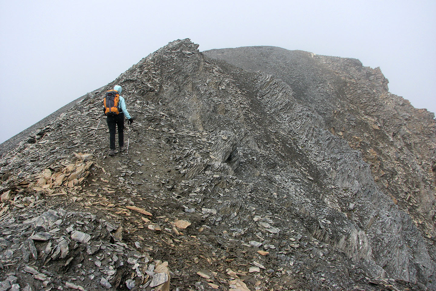
Looking back along the ridge
On the return, we'll drop down to the open ridge behind me
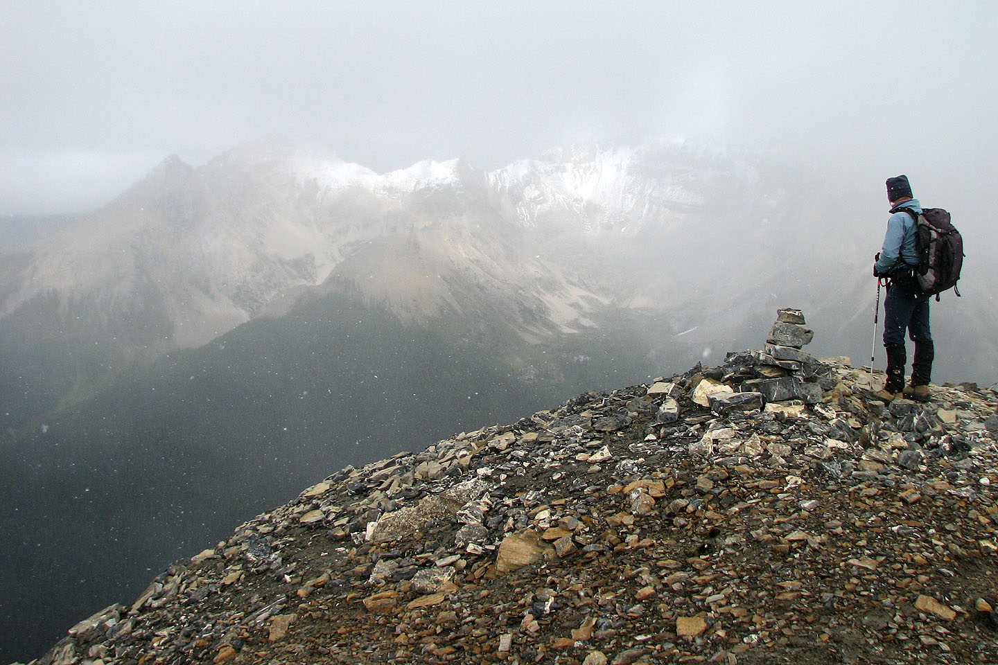
There was no cairn so I built one. The mountain on the left is probably Haiduk Peak although it was too hazy
to be sure.
We headed back down
This ridge allowed us to stay up high for the views, if only we could see anything!
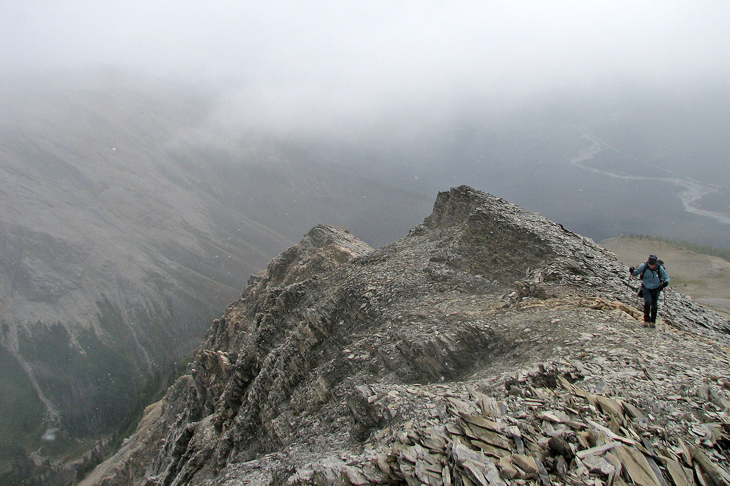
Looking back
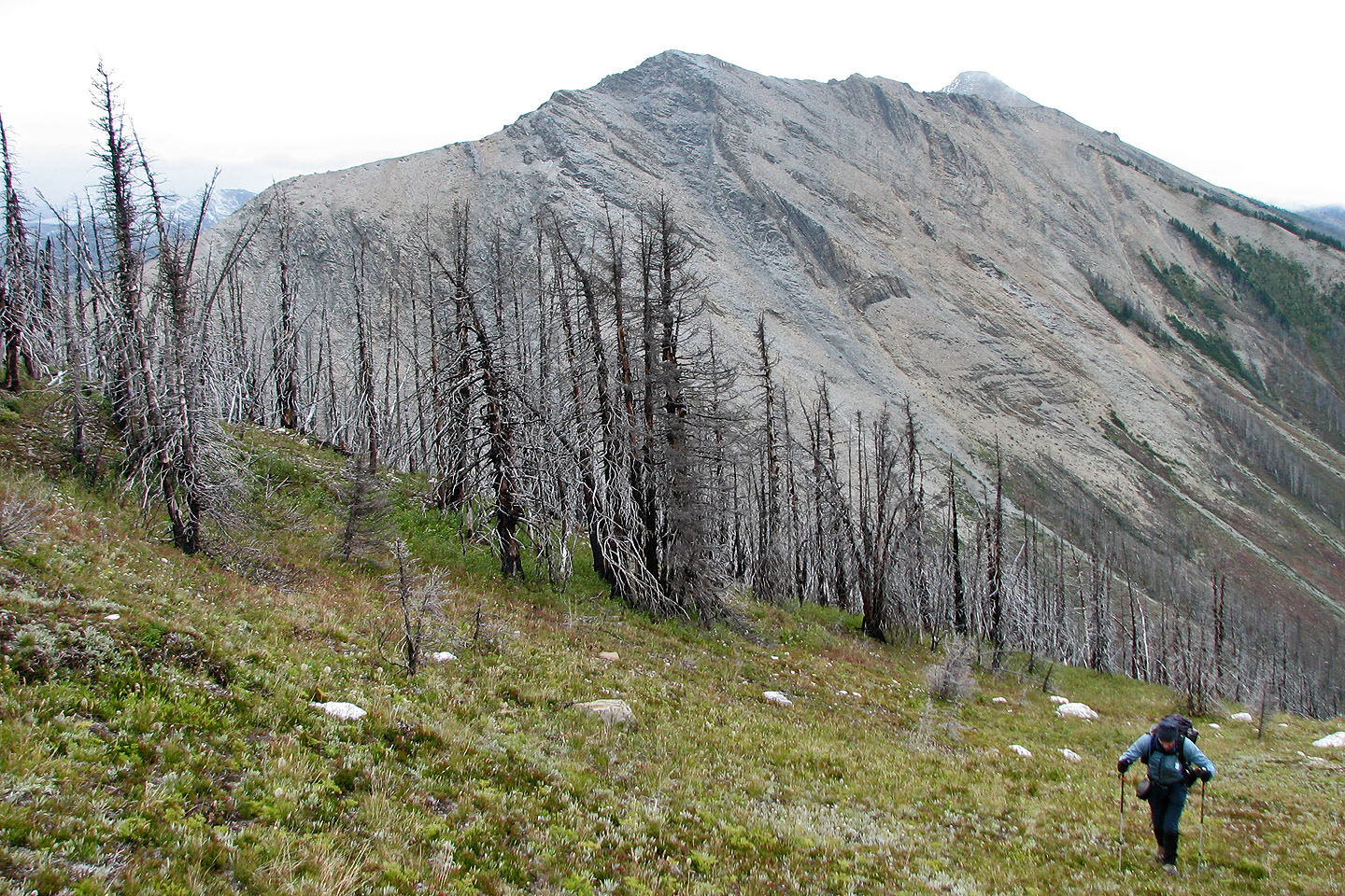
The clouds cleared briefly for a look back at Centre Peak. We ascended the skyline ridge on the right.
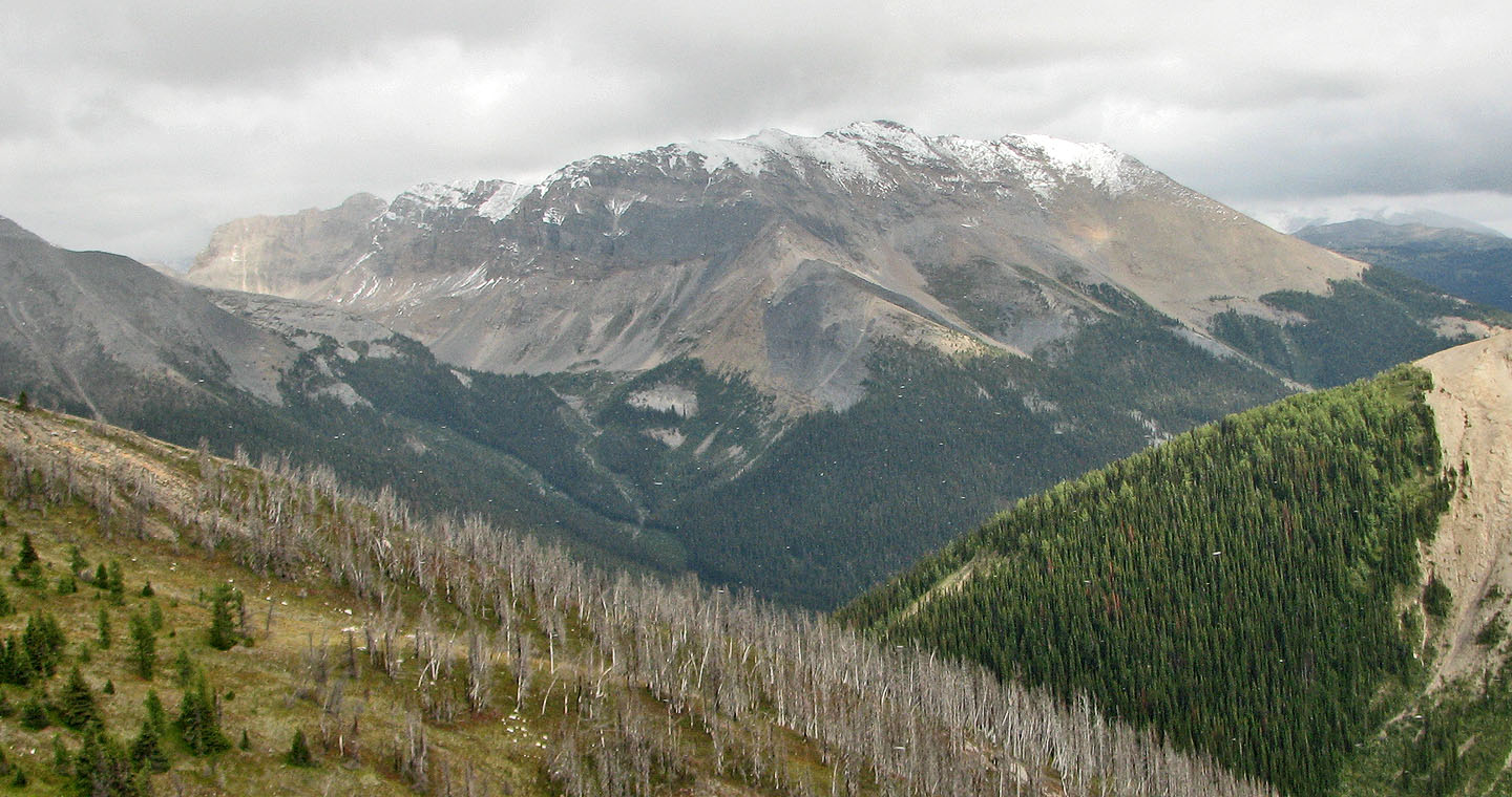
The Monarch to the east
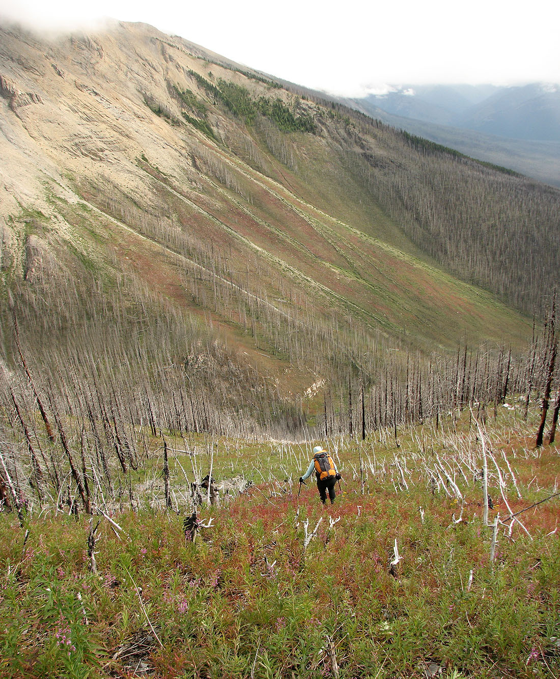
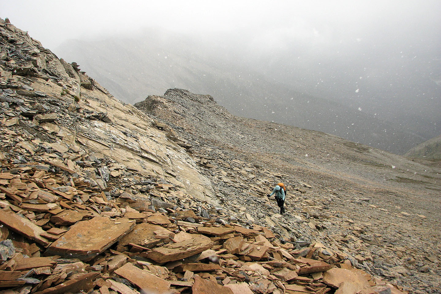
Heading back down the slope
We descend the avalanche slope to the trail
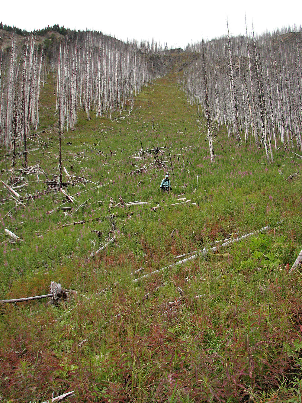
Looking back up the slope
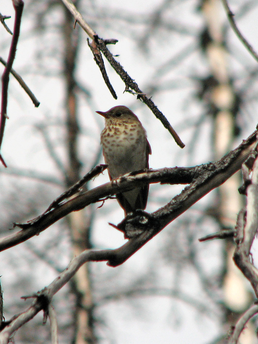
Gray-cheeked Thrust
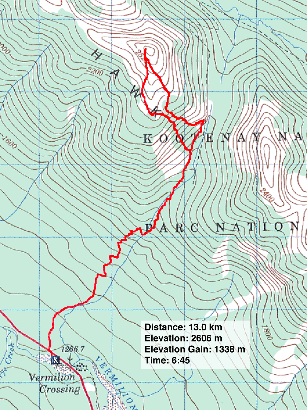
82 O/4 Banff