bobspirko.ca | Home | Canada Trips | US Trips | Hiking | Snowshoeing | MAP | About
Mount Goldie
Invermere, B.C.
August 15, 2008
Distance: 12.7 km (7.9 mi)
Cumulative Elevation Gain: 1200 m (3937 ft)
When Dinah and I arrived in Invermere, we had our sights set on climbing Mount Brewer, but the girl at the info centre warned us not to take a car up the dirt road to the trailhead: an SUV or a truck would be better. However, she gave us the idea to ascend Mount Goldie. Although not as high as Mount Brewer, we could start our ascent at Panorama ski resort. Moreover, we could take the One Mile Quad to get a head start up the mountain. For $16 the chairlift would knock off 380 m of elevation.
The chairlift was advertised to open at 9:00 am, but instead it opened at 10:00 am. We were hoping for an early start because of the heat: the temperature was expected to (and did) soar to 34°. Also, the 10:00 start shortened our window by an hour since the lift closes at 5:00 pm (they advise getting back by 4:45 to catch the lift down).
The chairlift ride took ten minutes. Once off the lift, we set off up the mountain. We could ascend just about anywhere, but mostly we followed ski runs and tried to keep in the shade of trees to beat the heat. The ascent was dull save for the view of the peaks behind, especially towering Mount Nelson.
Eventually we reached the summit hut on Panorama Mountain. From there, we hiked the trail that follows Outback Ridge. Along the ridge, signs such as “Devil's Drop” and “Never Never Land” indicated ski runs on our left.
After passing the ski boundary, we continued up the trail. We should have left the trail after the boundary and headed directly to Mount Goldie. When it became clear that the trail was not going to Mount Goldie, we left it and hiked through the trees. We soon came to a scree slope. After plodding up the slope, we reached a crumbling ridge and followed it to the broad summit.
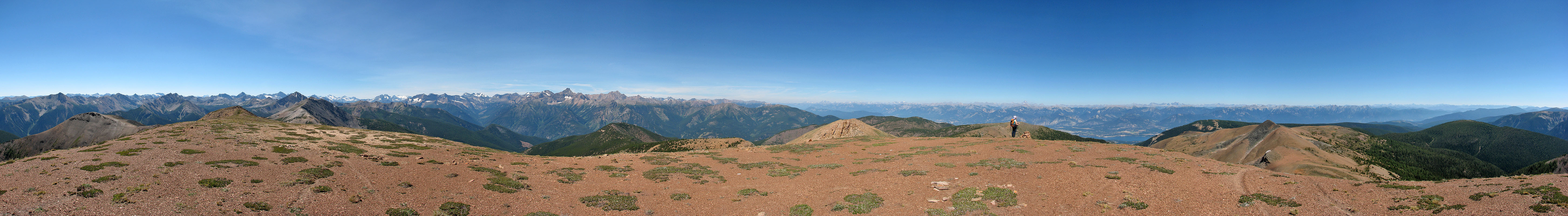
Being a clear day, we had great views in all directions. Mounts Assiniboine and Nelson were the most obvious. To the southwest, we could see the glaciated Bugaboos. We continued hiking past the summit to the south end of the ridge before turning around and heading back. We didn't linger long on the top as we wanted to catch the chairlift before it closed. The return leg was fast, and we made it back to the chairlift with half an hour to spare.
Purists may want to eschew the chairlift, but we enjoyed the diversion. And of course, we appreciated saving time and energy to summit on a hot day. I thought Mount Goldie was only a hike, so I was pleasantly surprised it required easy scrambling to attain the summit. The views were better than I expected too!

View from the chairlift: Panorama Mountain summit is on the left
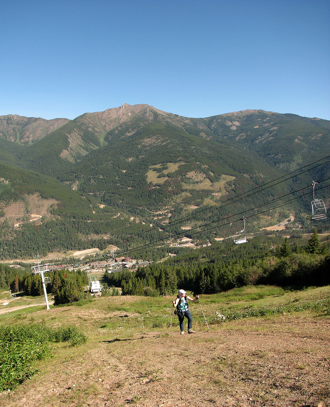
We left the chairlift below. Mount Bruce sets the background.
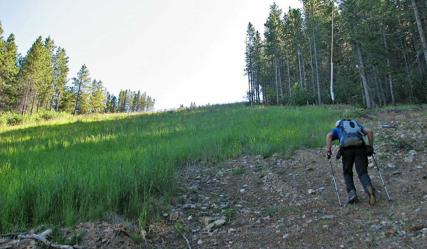
Typical boring travel up the ski slopes
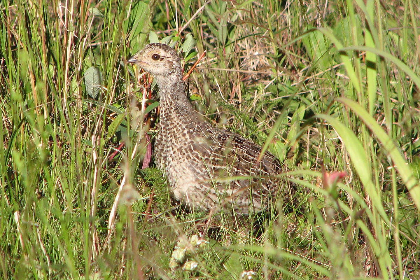
We passed a grouse in the grass
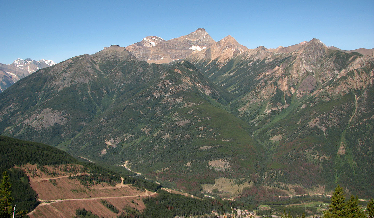
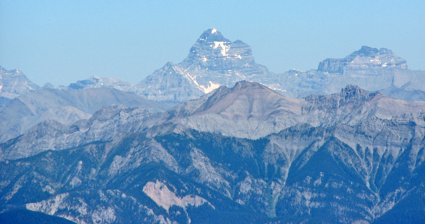
Sultana Peak, Mount Nelson (mouse over), Trafalgar Peak and (far right) Watch Peak
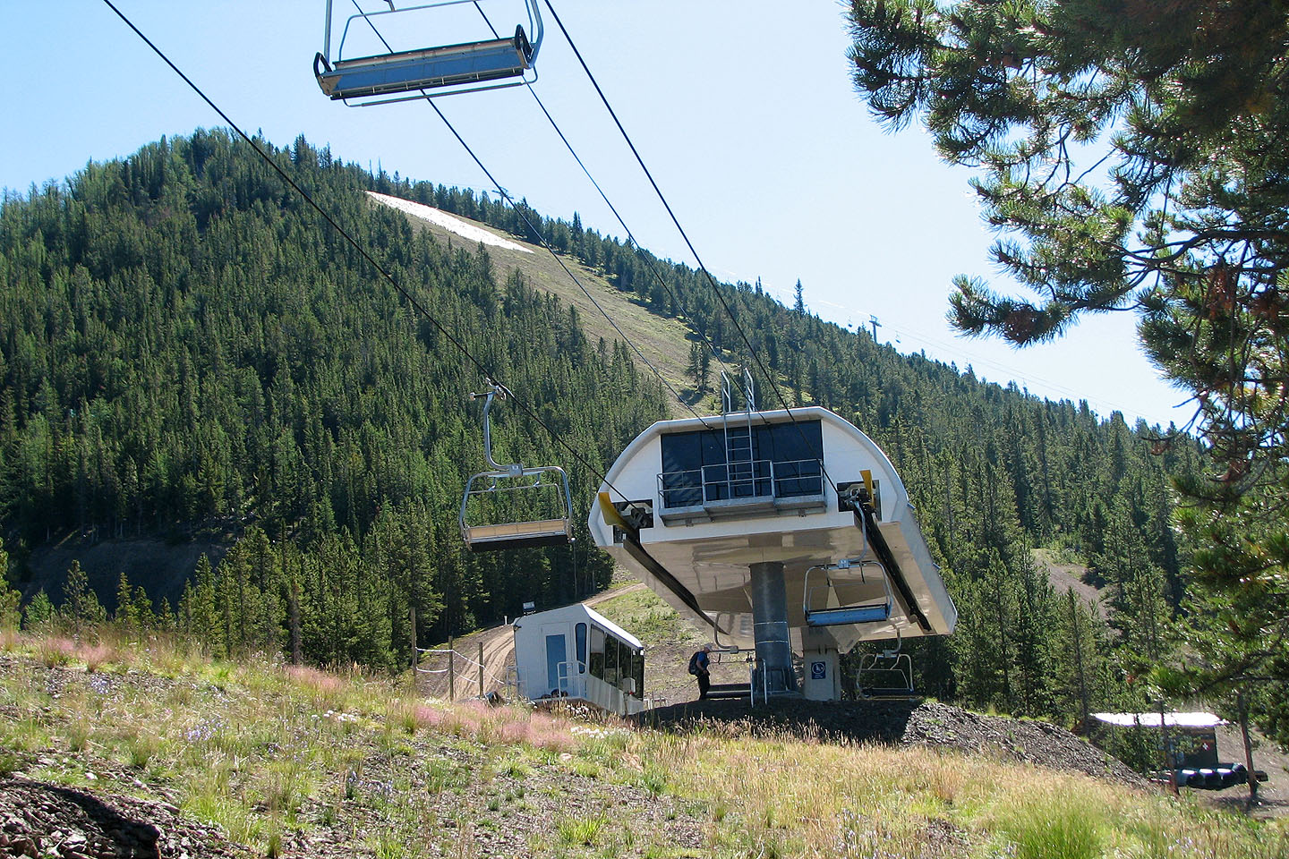
The end of the Champagne Express chairlift
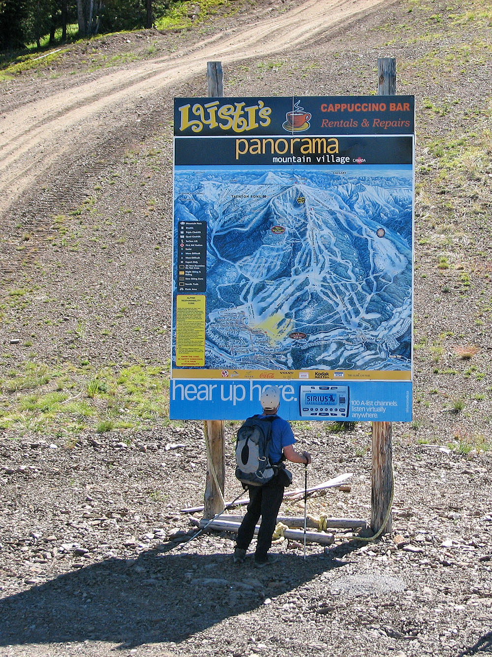
With maps like this, you can't get lost!
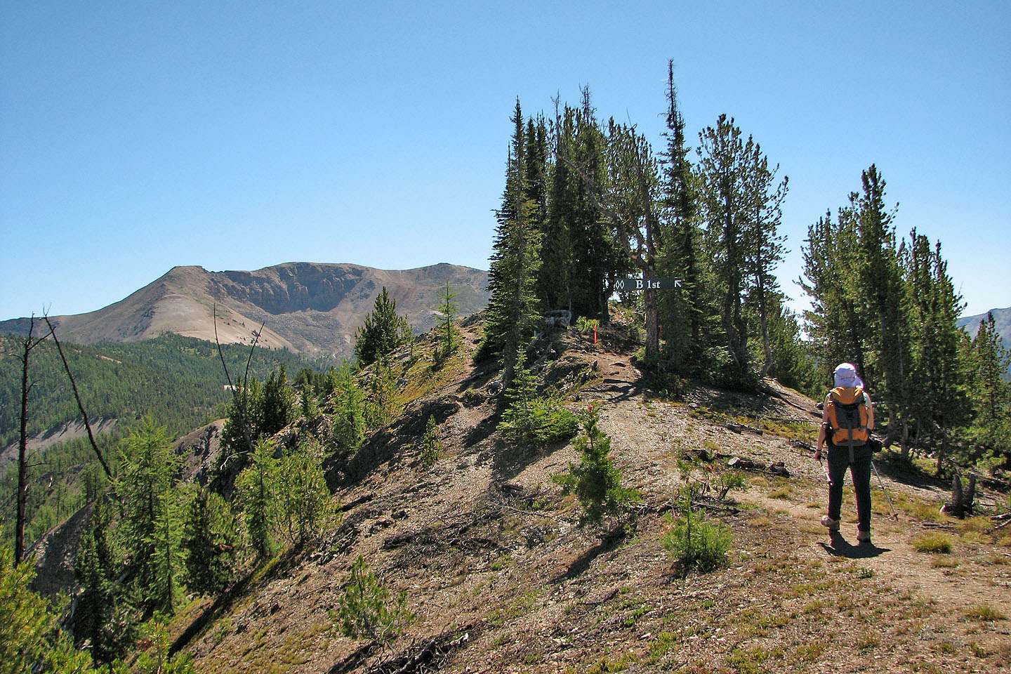
After passing the summit hut on Panorama Mountain, we followed
Outback Ridge towards Mount Goldie
Goldie still looks far off
We made our way to the top of Panorama Mountain
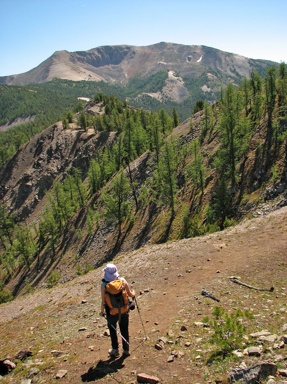
From Panorama Mountain, we'll lose 50 m of elevation
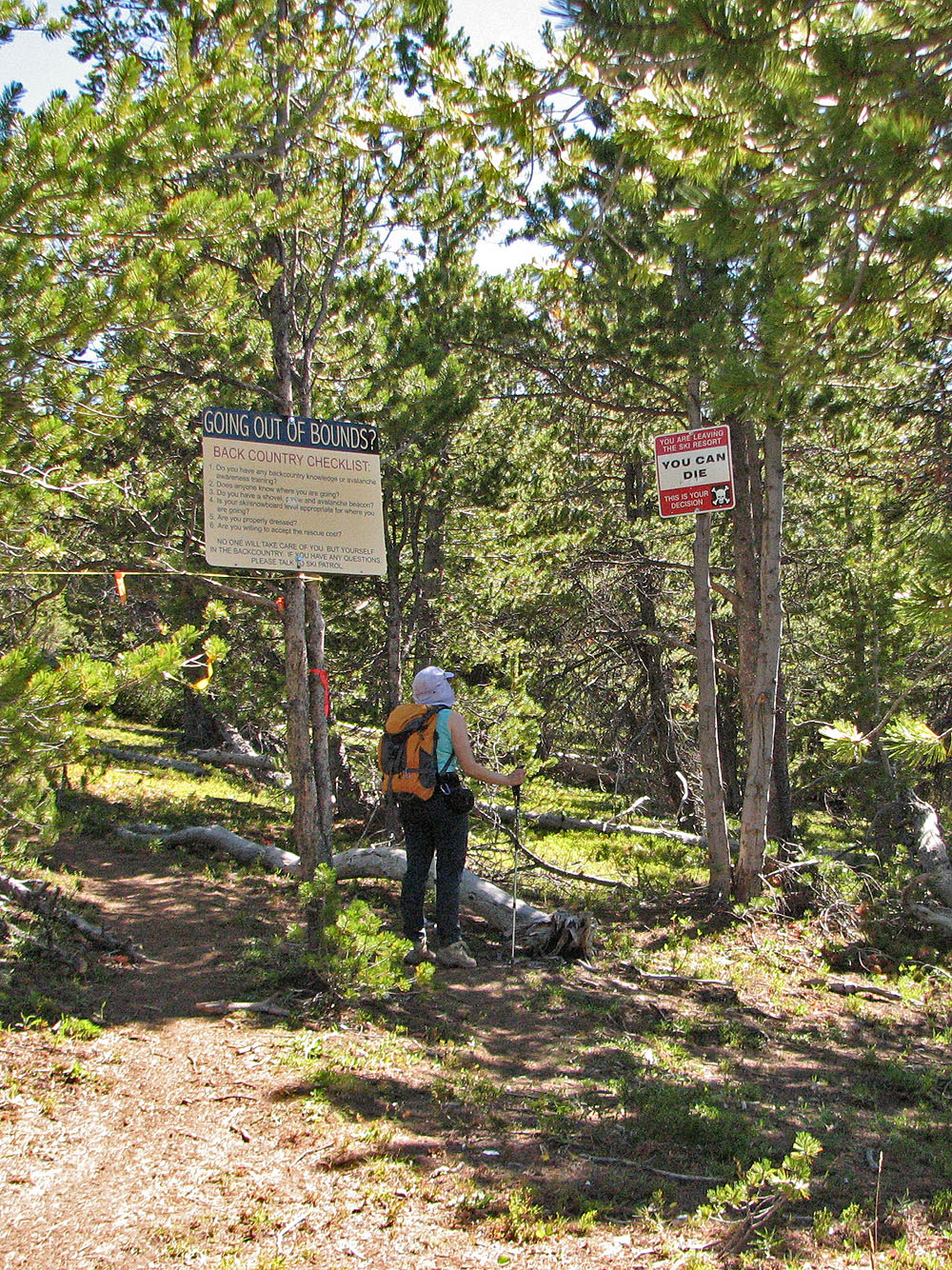
We were amused by the warnings at the ski boundary
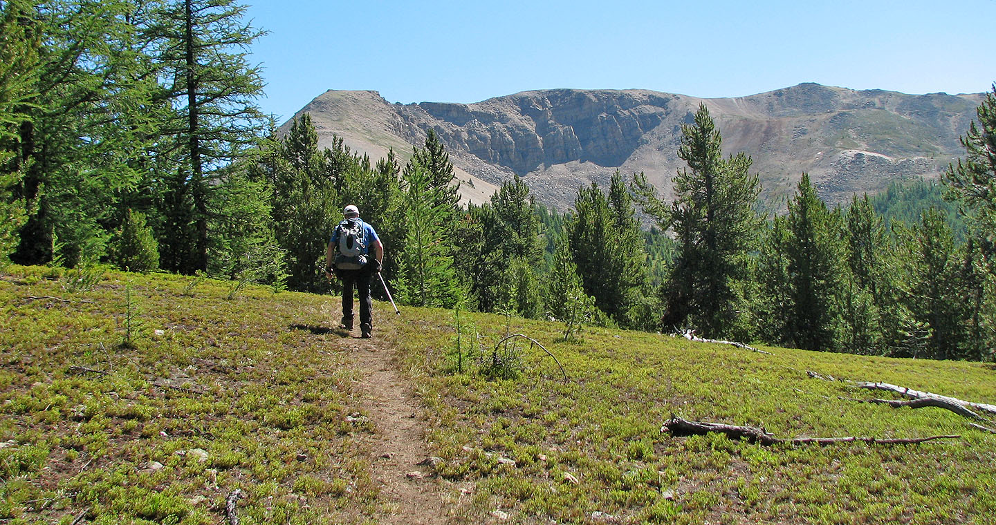
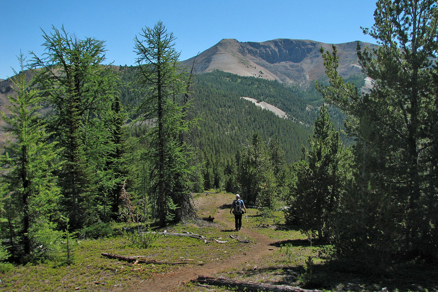
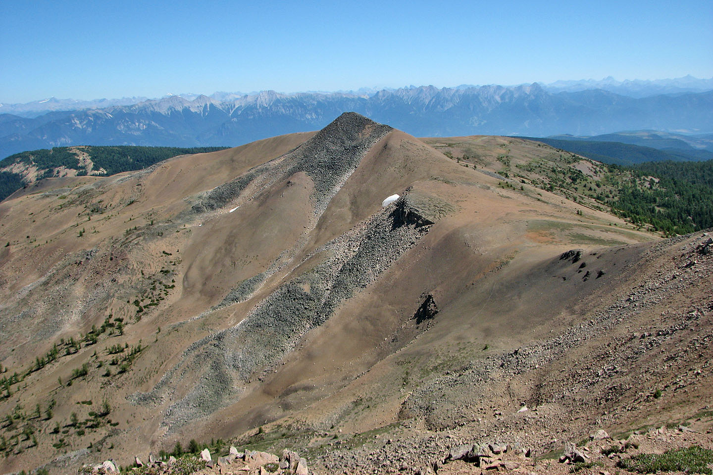
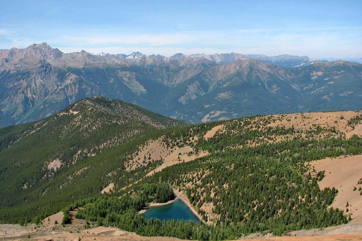
The gentle rise in the centre is the summit of Mount Goldie
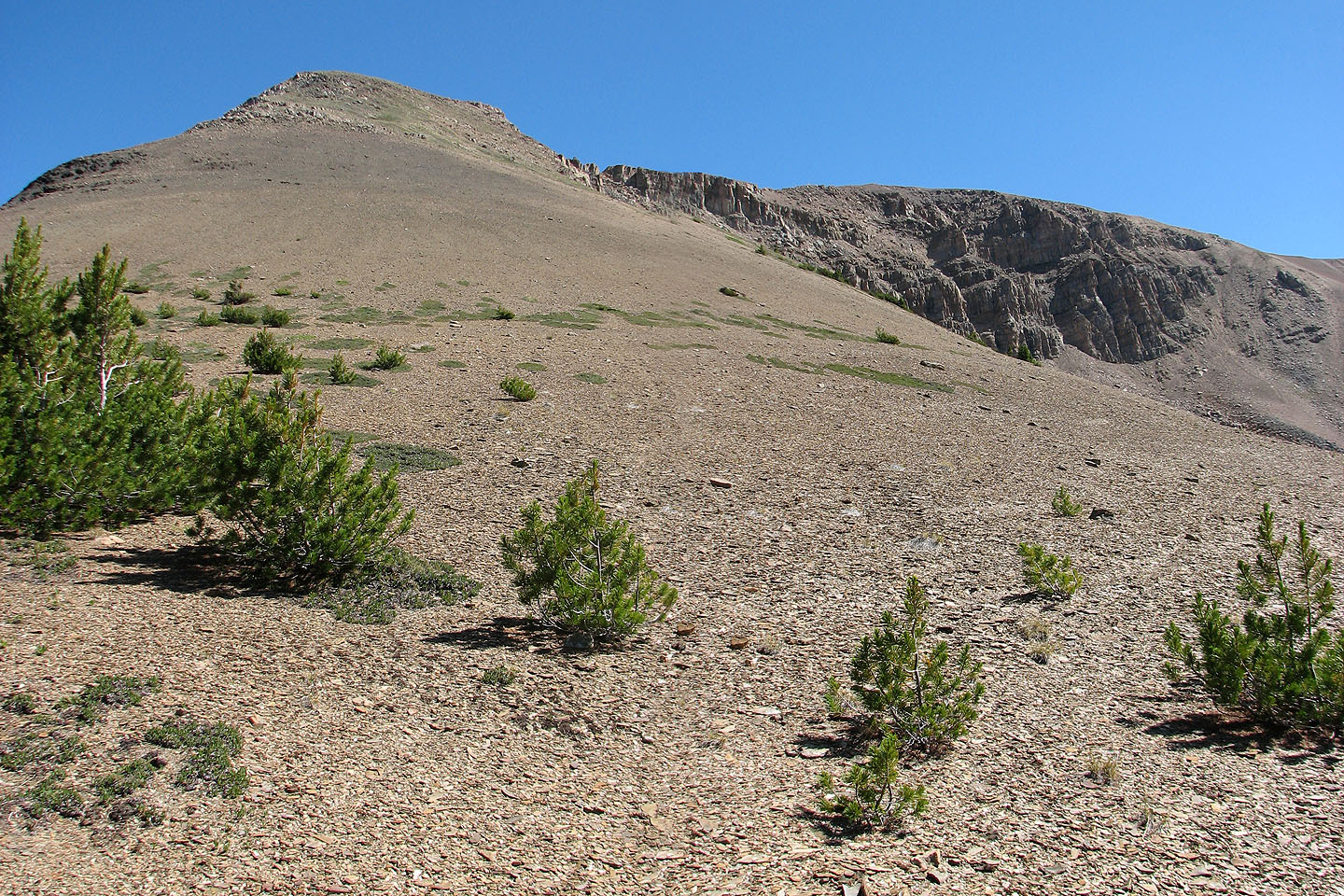
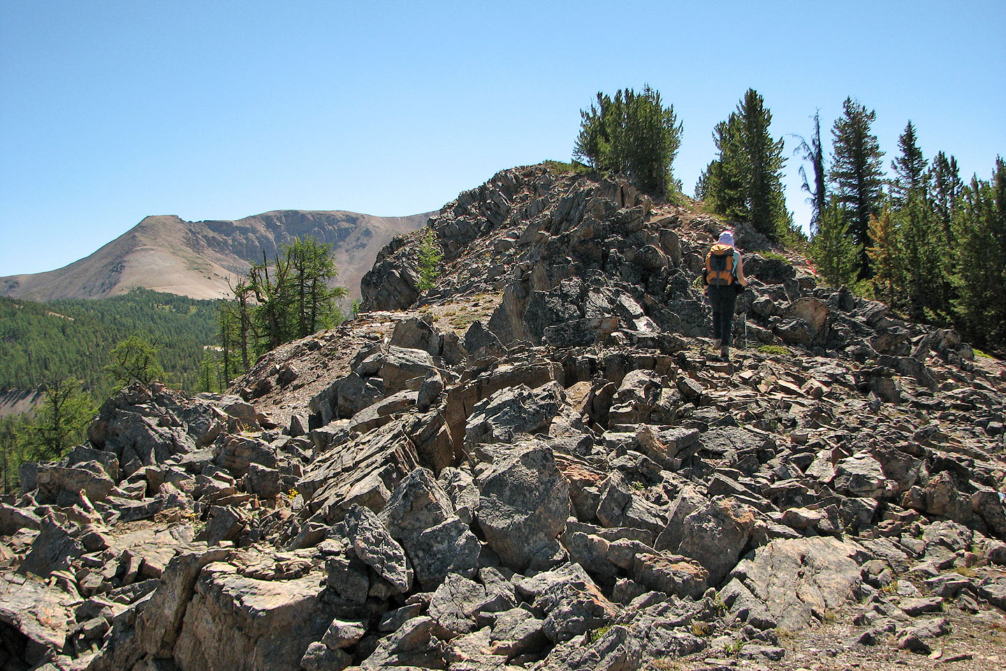
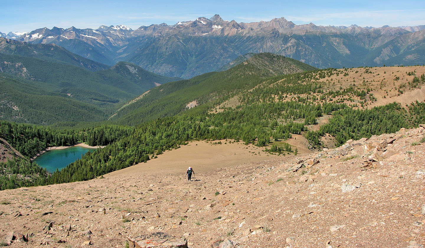
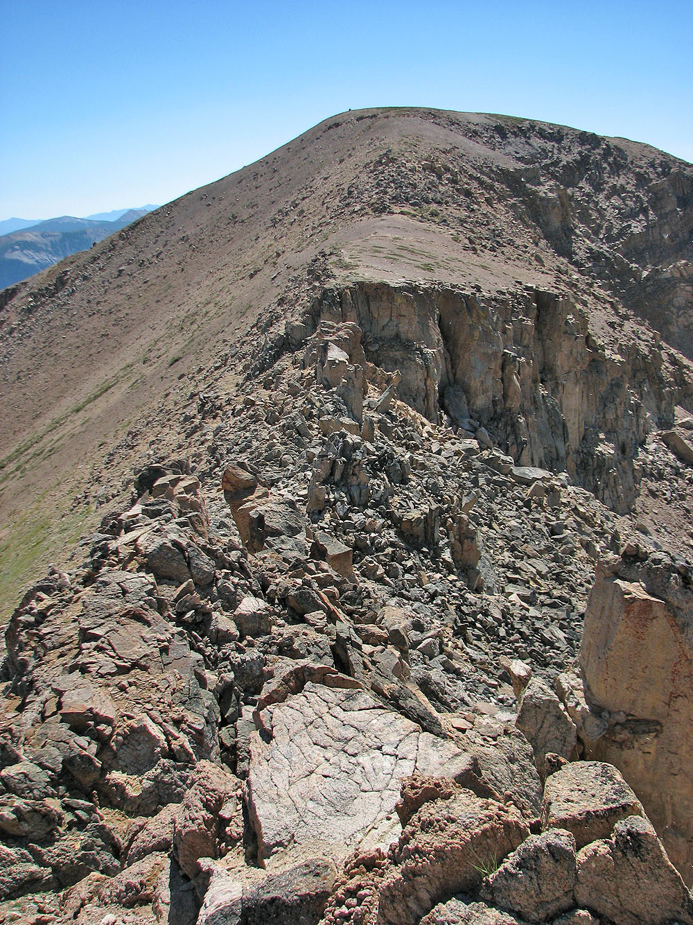
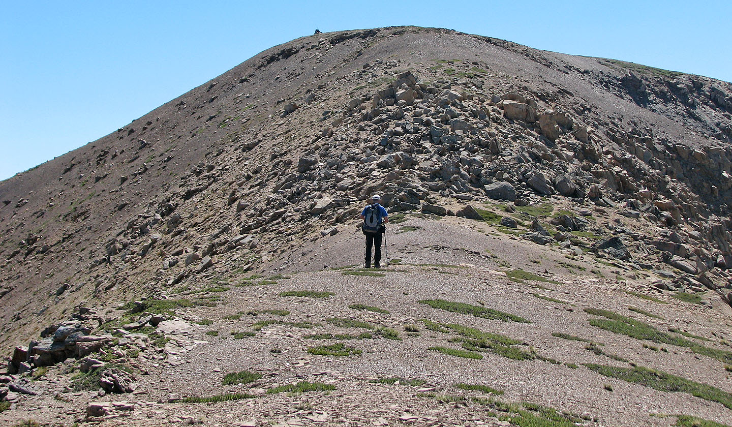
After the treeline, it's a scree slog to the north end of the mountain
Unnamed peak on the right
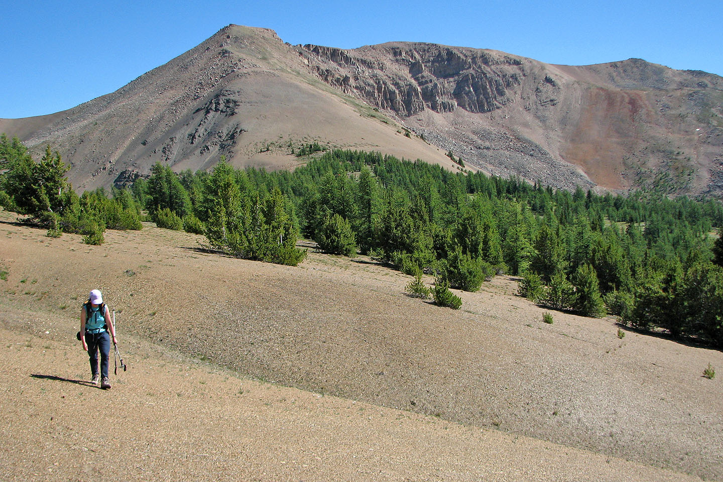
Summit is on the right
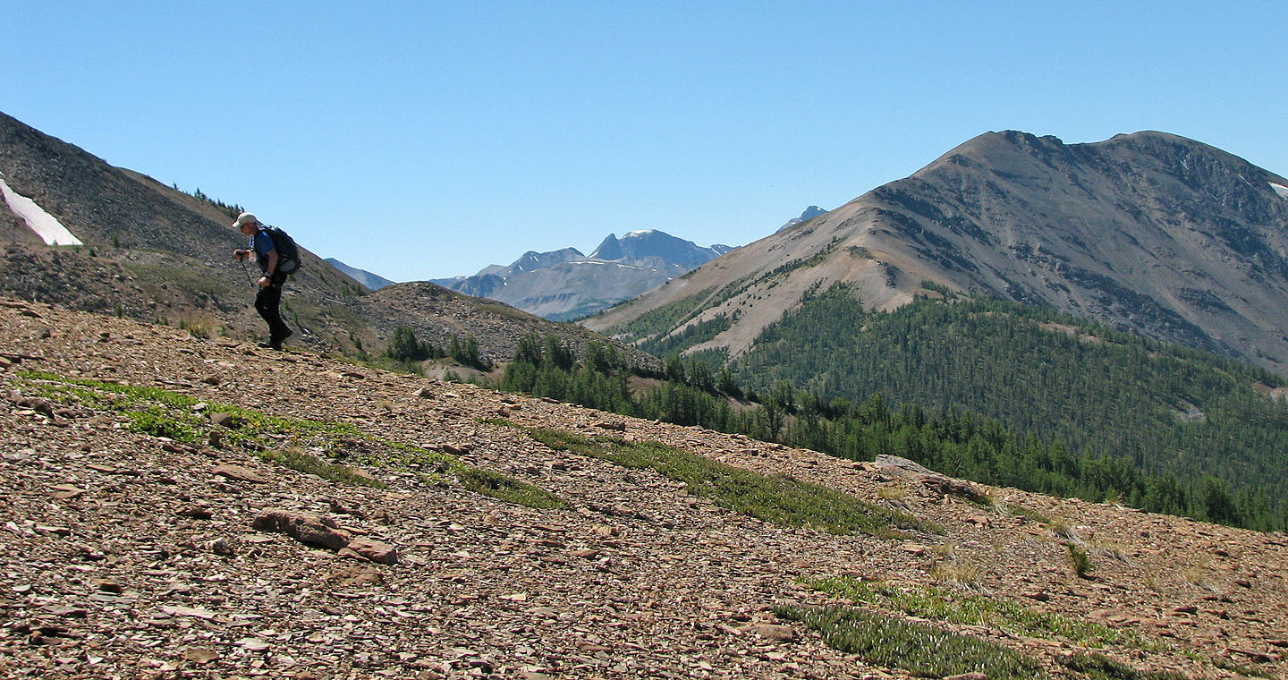
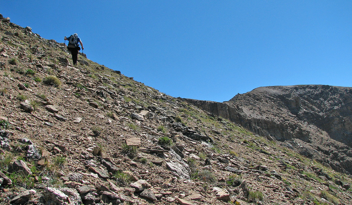
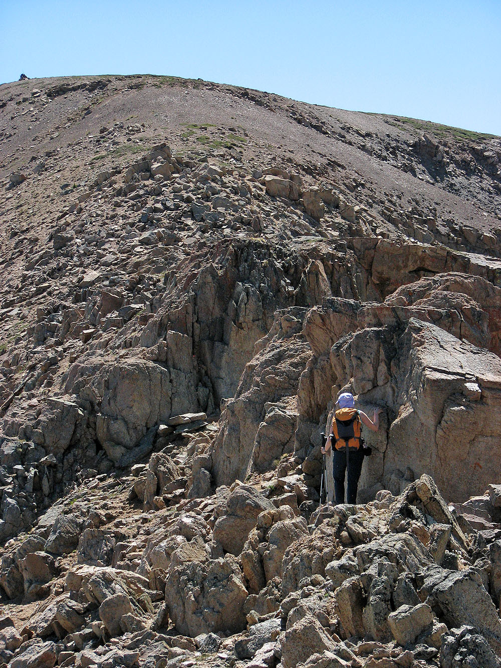
Dinah part way up the scree slope
Fissures on the north end
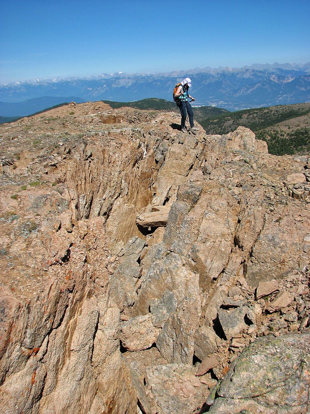
Dinah makes her way around the fissures
Mount Assiniboine
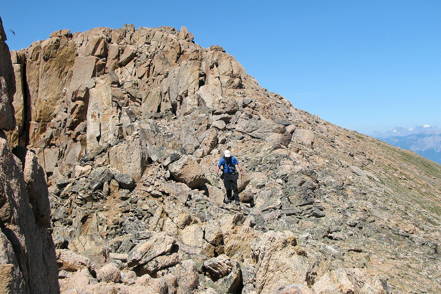
We'll have to drop down into the rocks below
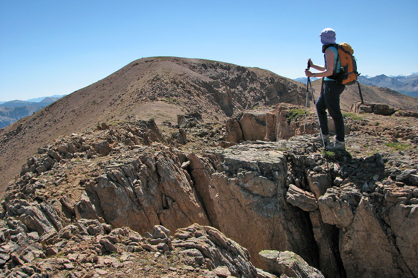
Interesting outlier north but the summit lay south
We came down the left side
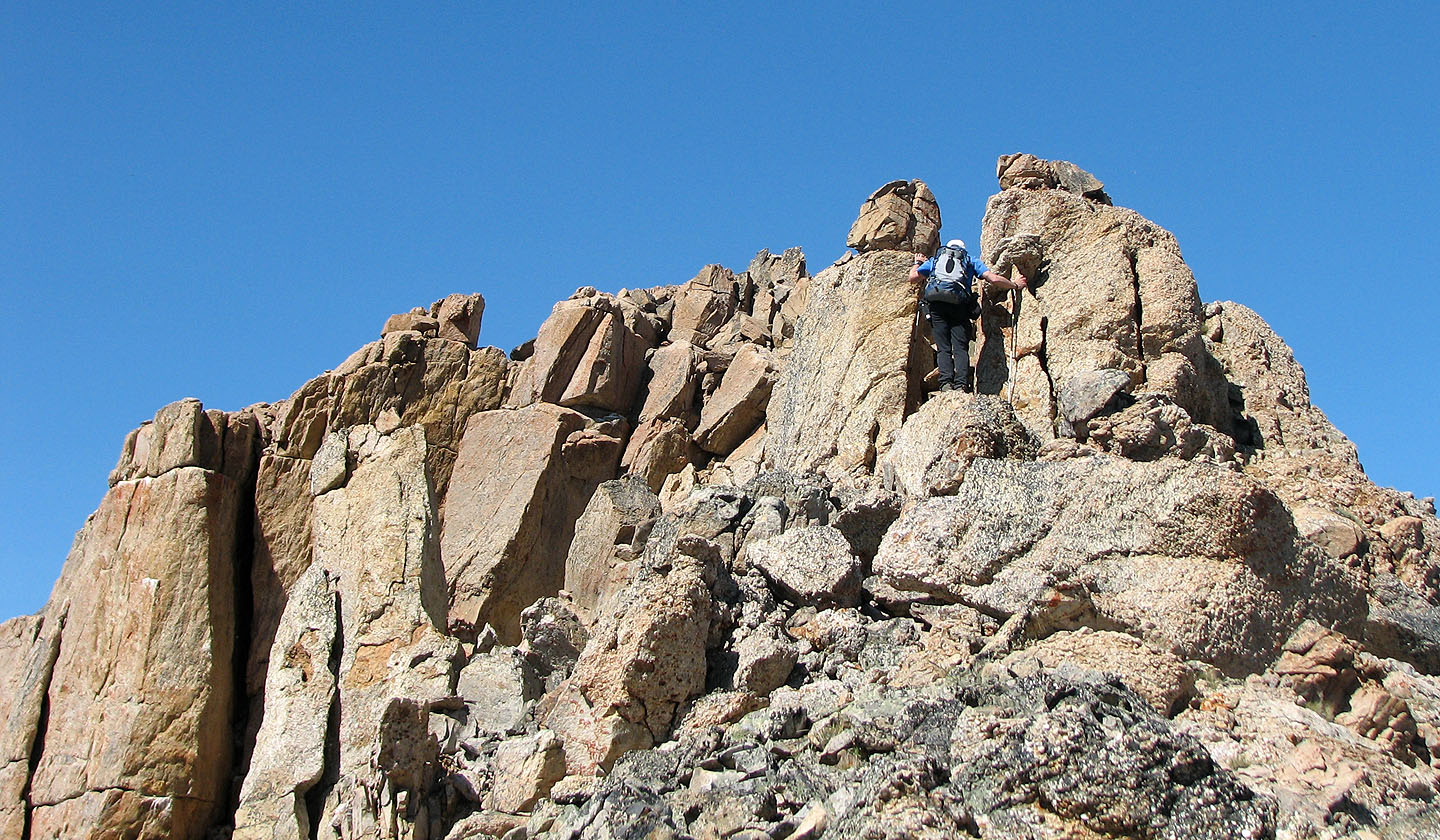
Dinah works her way toward the summit
Leaving the fractured north end behind
The summit cairn seems to miss its mark
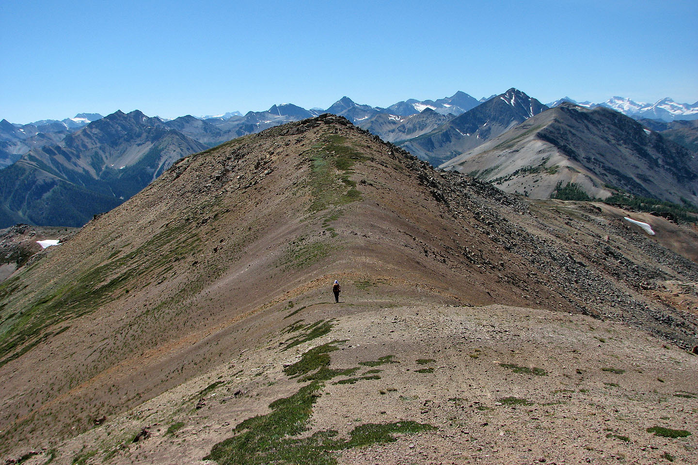
Looking back at we headed to the summit
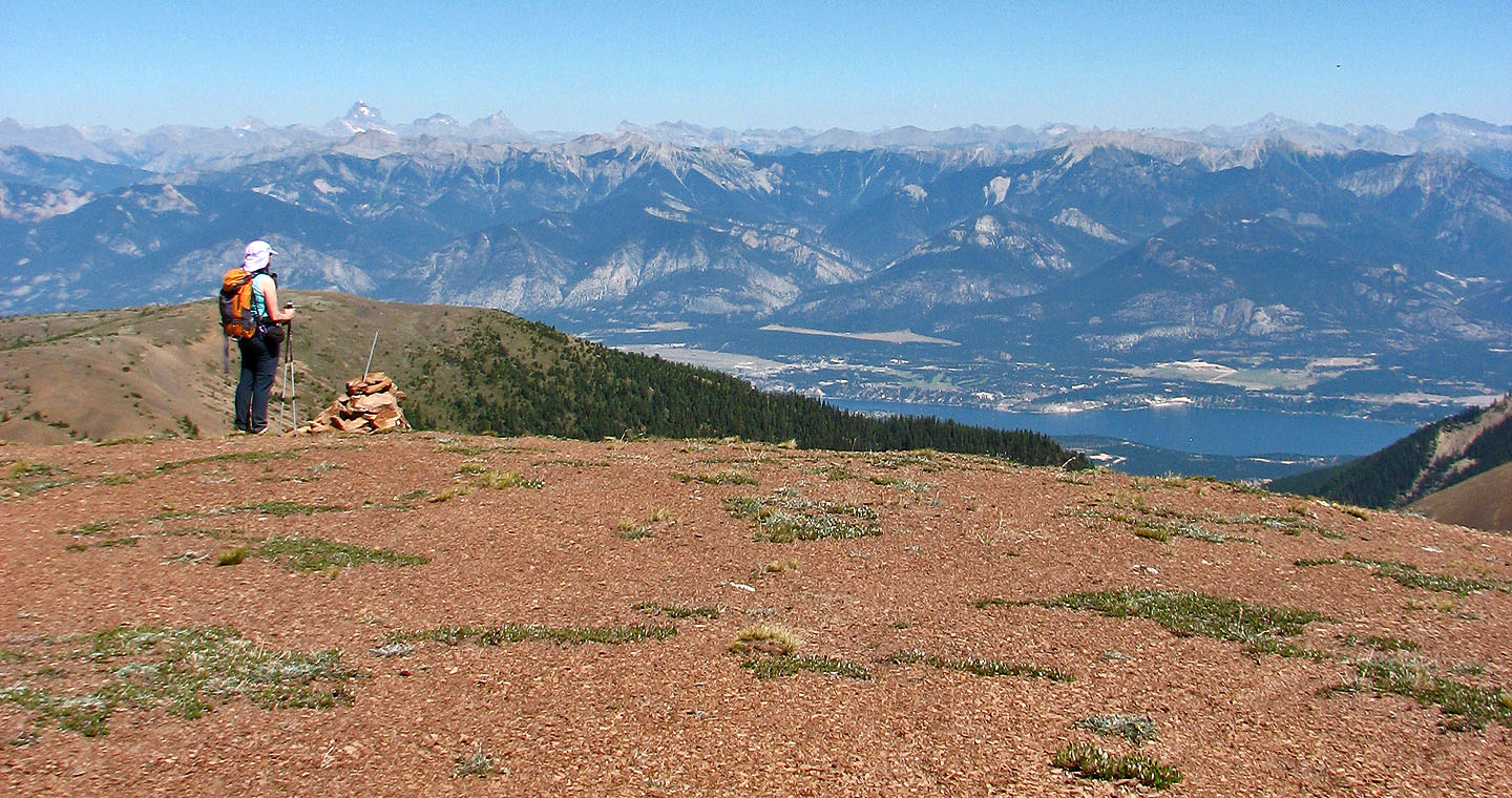
Dinah gazes at Windermere Lake from the summit
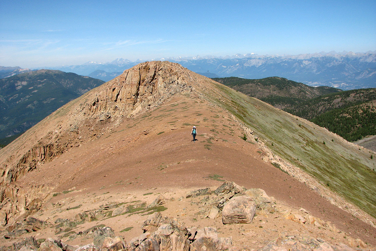
We headed to the outlier at the south end
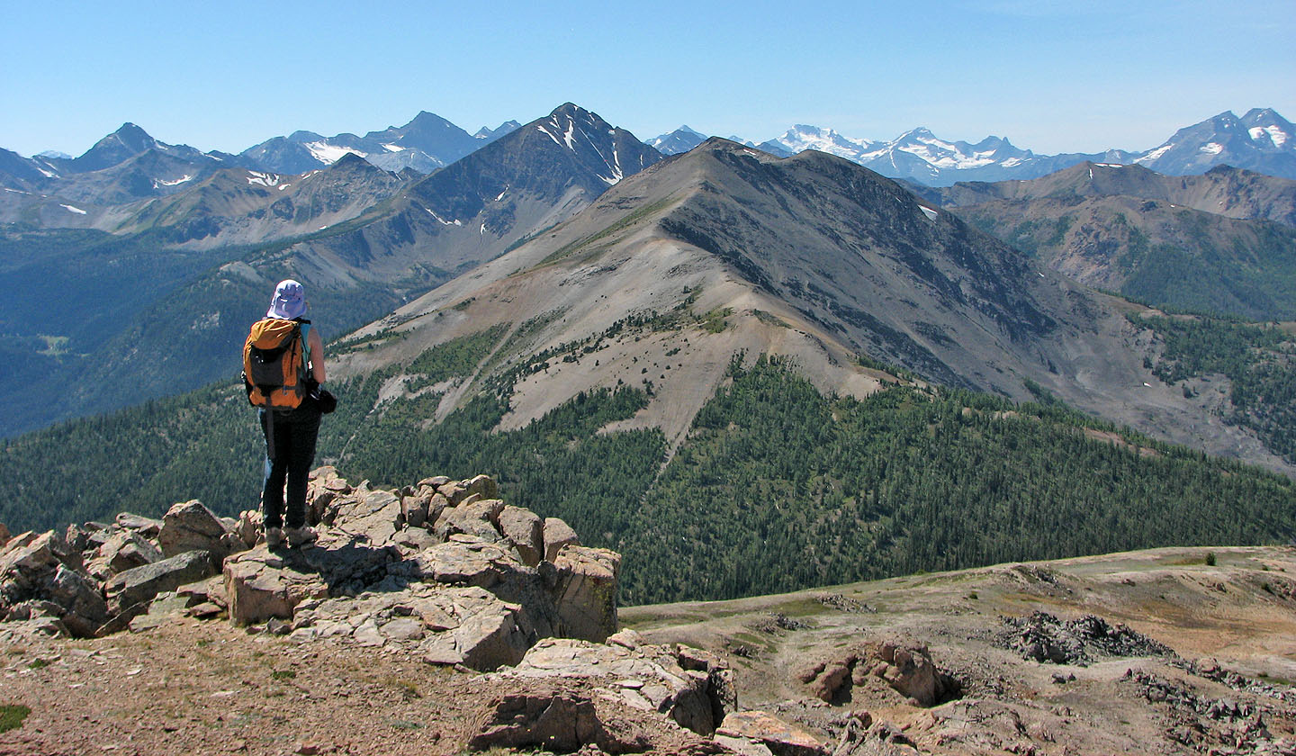
From the south end, Mount Brewer is the black peak in the centre
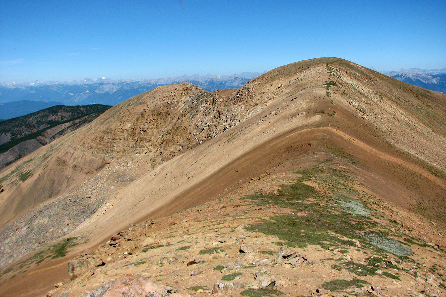
Looking back at the summit

Bugaboos lie west
The summit hut on Panorama Mountain is barely visible
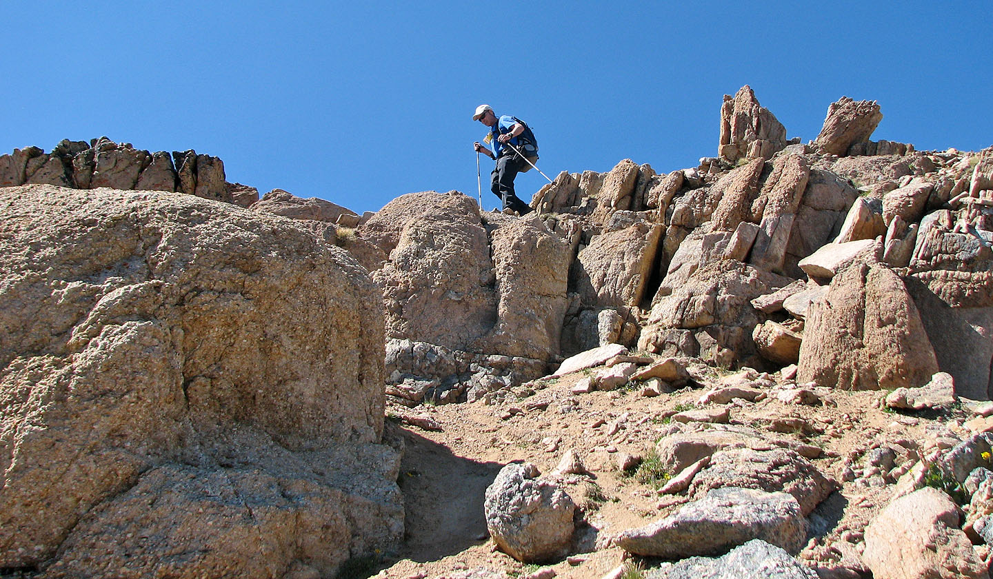
Scrambling back up the fissures
Heading back to Cutback Ridge
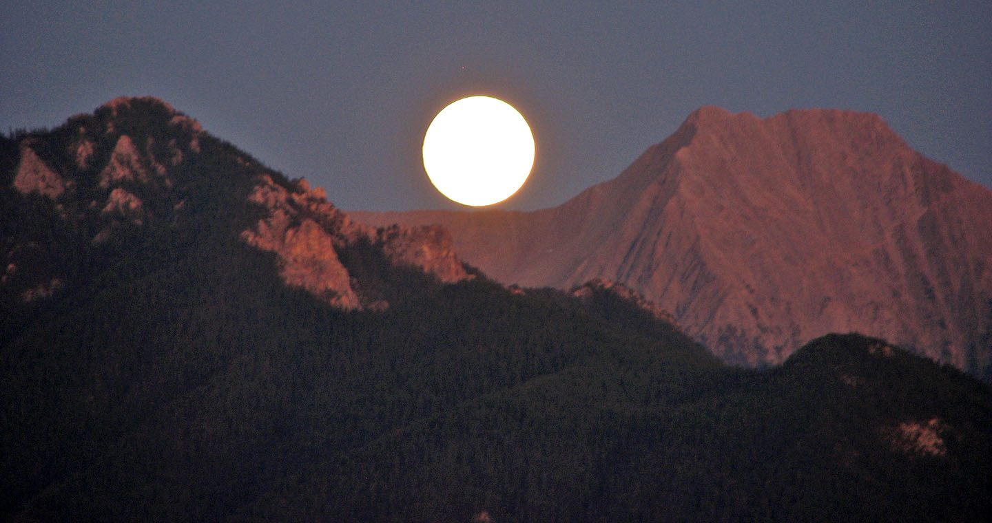
Moonrise that night
82 K/8 Toby Creek