bobspirko.ca | Home | Canada Trips | US Trips | Hiking | Snowshoeing | MAP | About

Asulkan Valley Trail
Glacier National Park, B.C.
August 9, 2020
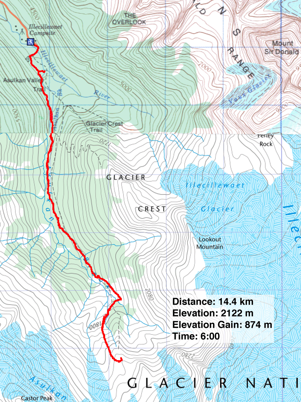
Distance: 14.4 km (8.9 mi)
Cumulative Elevation Gain: 904 m (2966 ft)
Despite the name, Asulkan Valley trail reaches alpine levels to provide vistas of glaciated peaks. Specifically, the trail ends at Asulkan Hut. But Renata, Dinah and I had no plans to stay overnight; for us it was an enjoyable day hike.
We arrived shortly after 9:00 am to find the parking lot at Illecillewaet campground nearly full. After our trip, it overflowed with dozens of cars parked roadside, perhaps because the campground was closed due to COVID-19.
Asulkan Valley trail is well-signed and passes other trails before settling into an unbranched path. You can hike without a map, compass or GPS, but keep your eyes open as there is much to see, from snow-cover peaks and tall waterfalls to basking marmots and scuttling ptarmigans. And if you're lucky, you'll spy a porcupine feeding by the trail as I did.
The trail runs alongside Asulkan Brook before bridging it high on a slope. After the bridge, the ascent steepens as it climbs the narrow crest of a moraine. The trail finishes on a ridgetop bearing the hut.
After we had lunch below the hut, it was time to leave. But while Renata and Dinah sauntered back, I zipped down. Back in the lush valley, I almost missed seeing the porcupine half-hidden in the thick vegetation next to the path. The nearsighted animal fed on leaves and appeared unaware I was video recording five metres away. After it disappeared, I continued down the trail. I made a short side trip to see Meeting of the Waters where Asulkan Brook and Illecillewaet River collide. Just 10 minutes from the parking lot, it's a pleasant way to finish the trip.
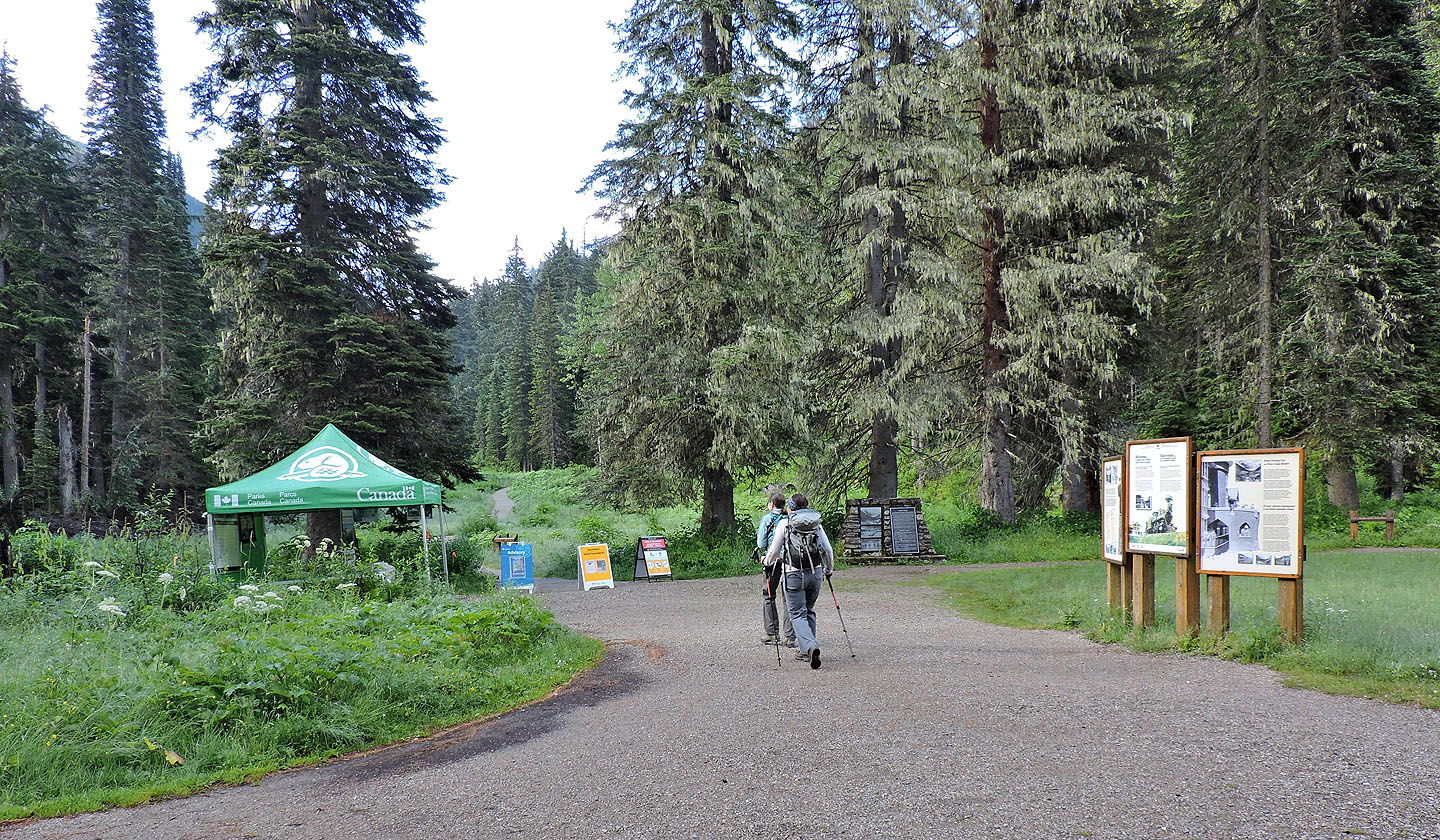
Heading to the trailhead
From a bridge over Illecillewaet River we had view of Cheops Mountain
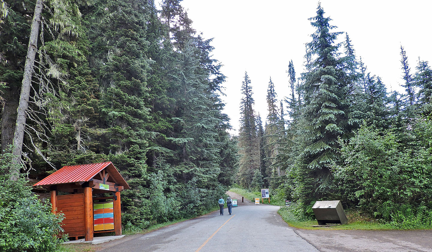
Several trails start here
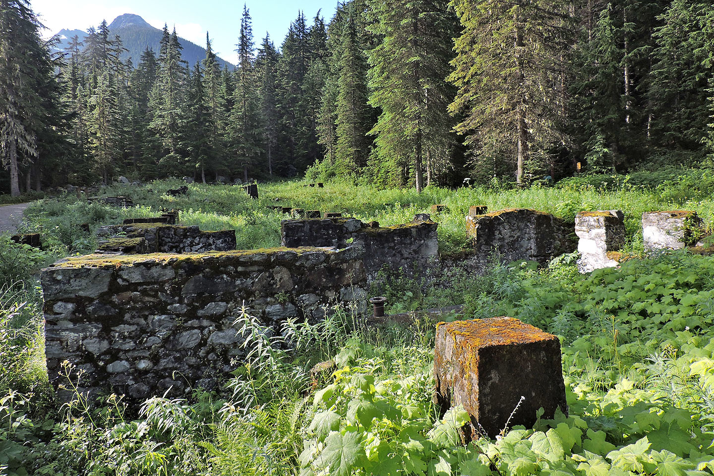
The remains of Glacier House, a 90-room resort until service ended in 1926. It was demolished in 1929.
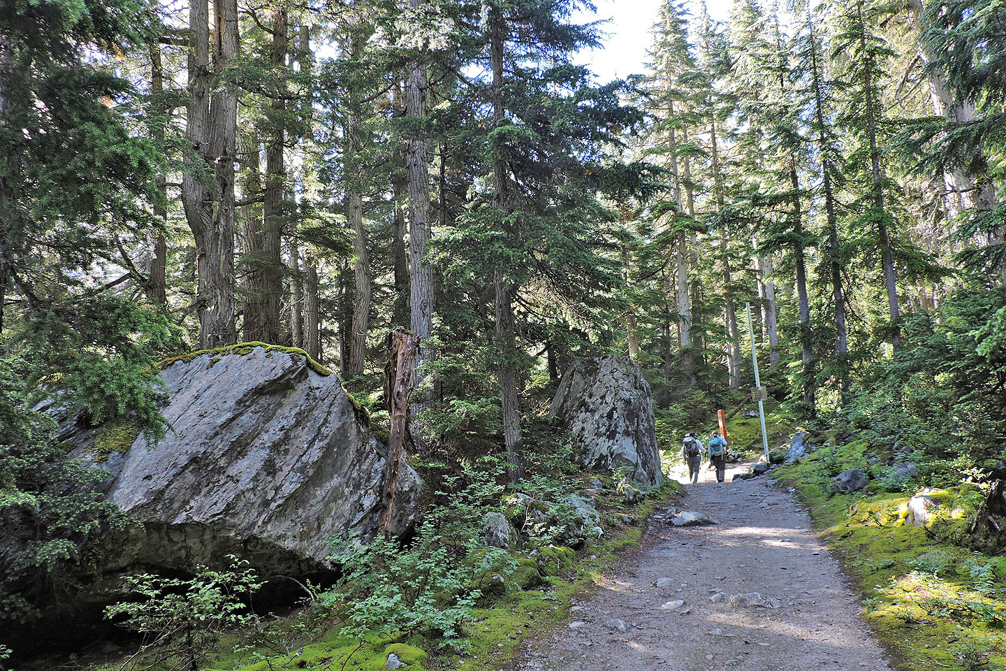
Boulders line the trail at the start
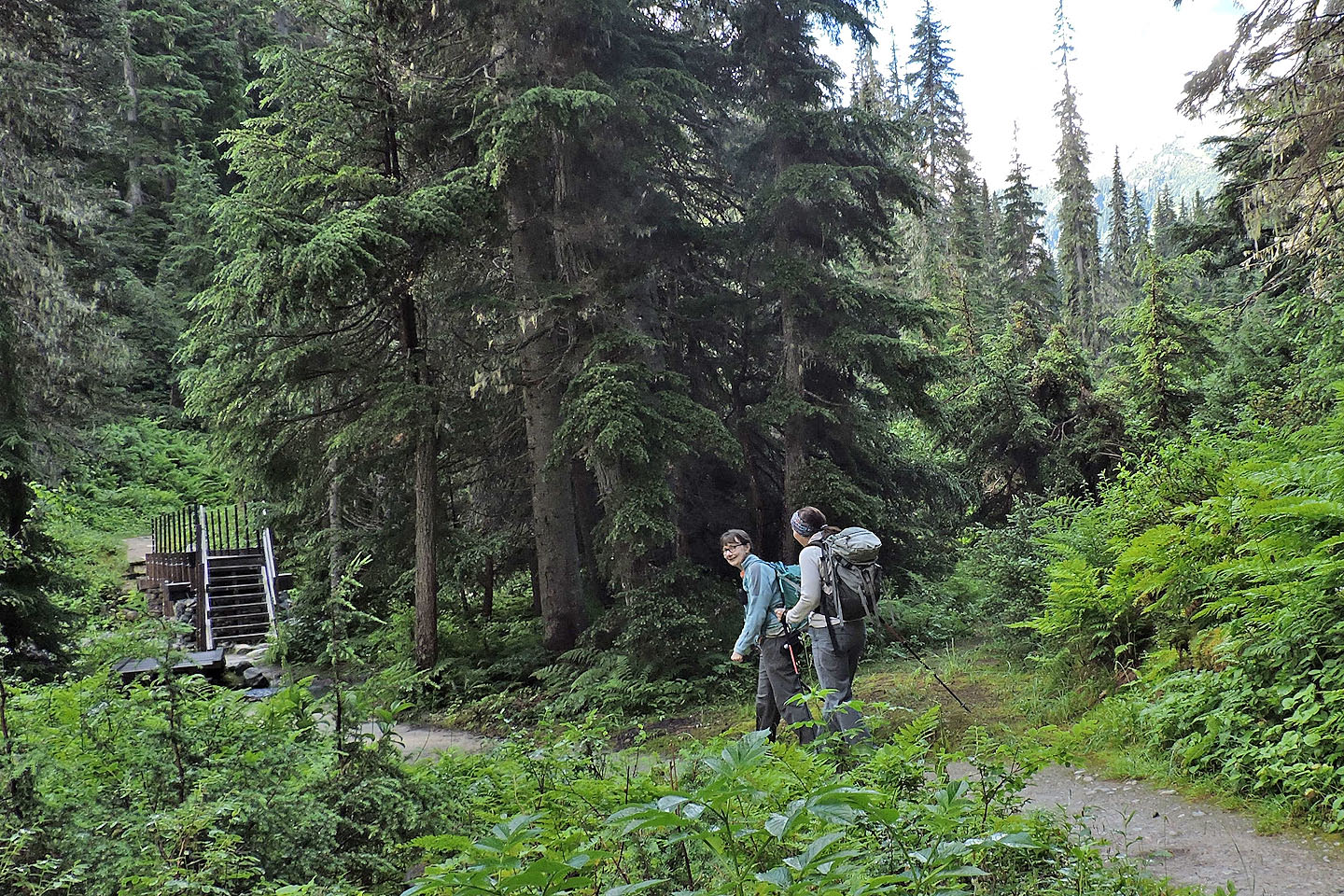
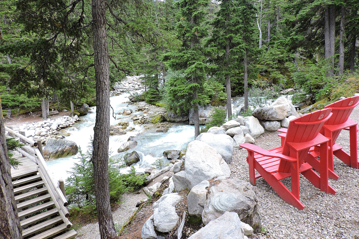
Coming to a bridge over Asulkan Brook
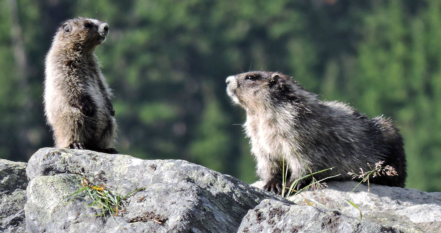
Hoary marmots sunning on rocks
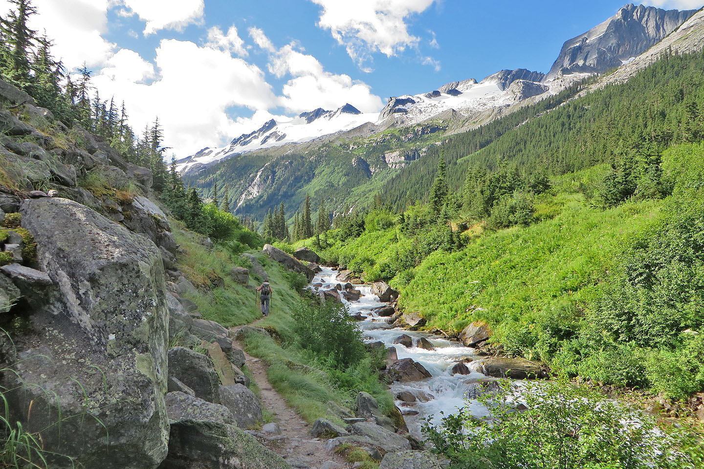
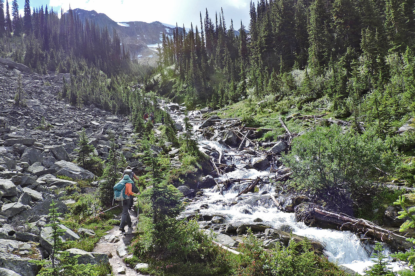
The trail runs alongside the brook
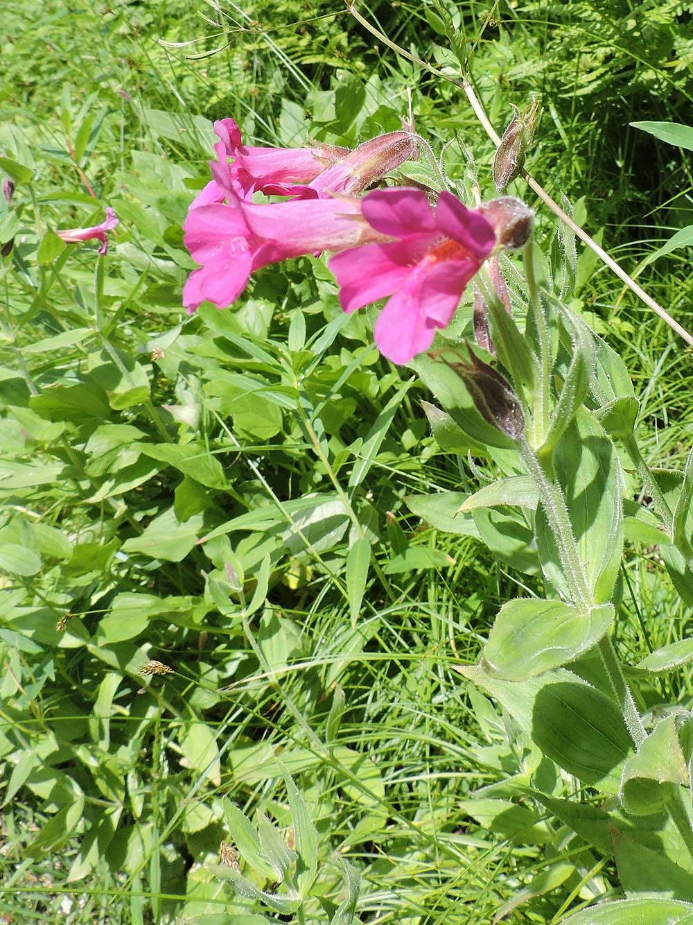
Red monkey flowers lined the trail
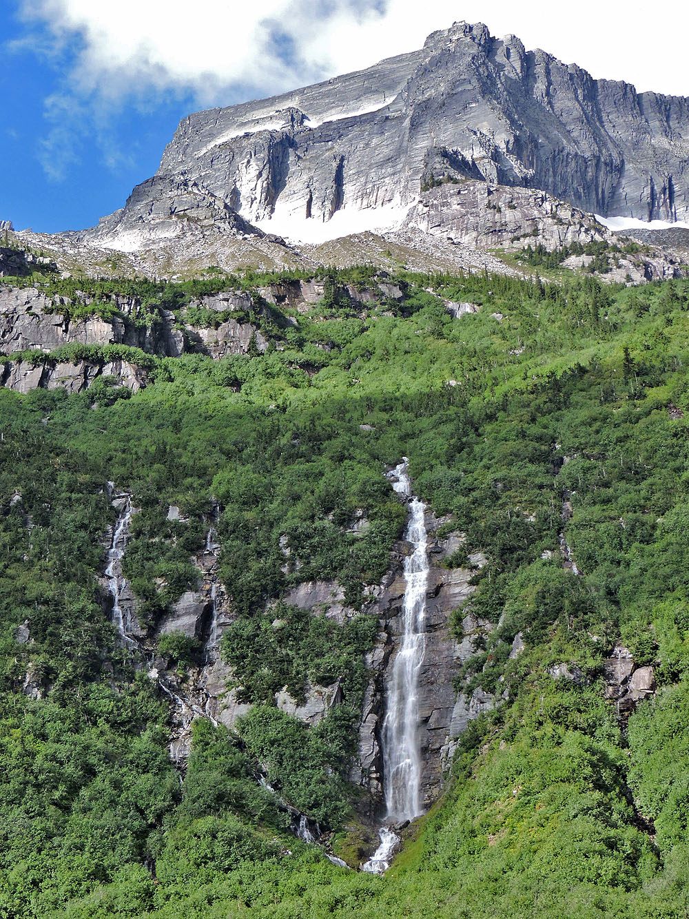
Waterfalls below The Rampart
Looking back
Eventually the trail climbs above the brook. The treeless ridge on the right is the ascent moraine.
Coming up to the bridge (centre)
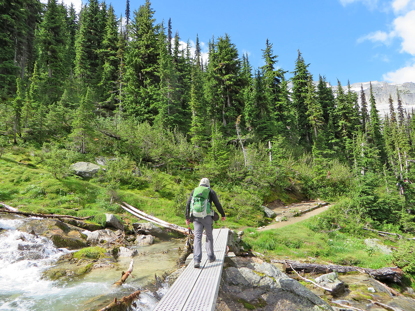
Crossing the bridge
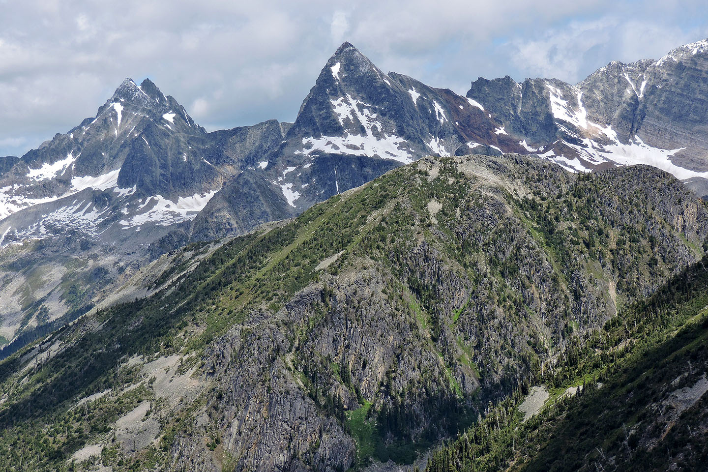
After the trail passed through trees, Leda, Pullox and Castor Peaks appeared ahead
Far right is The Dome
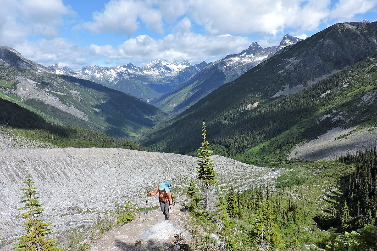
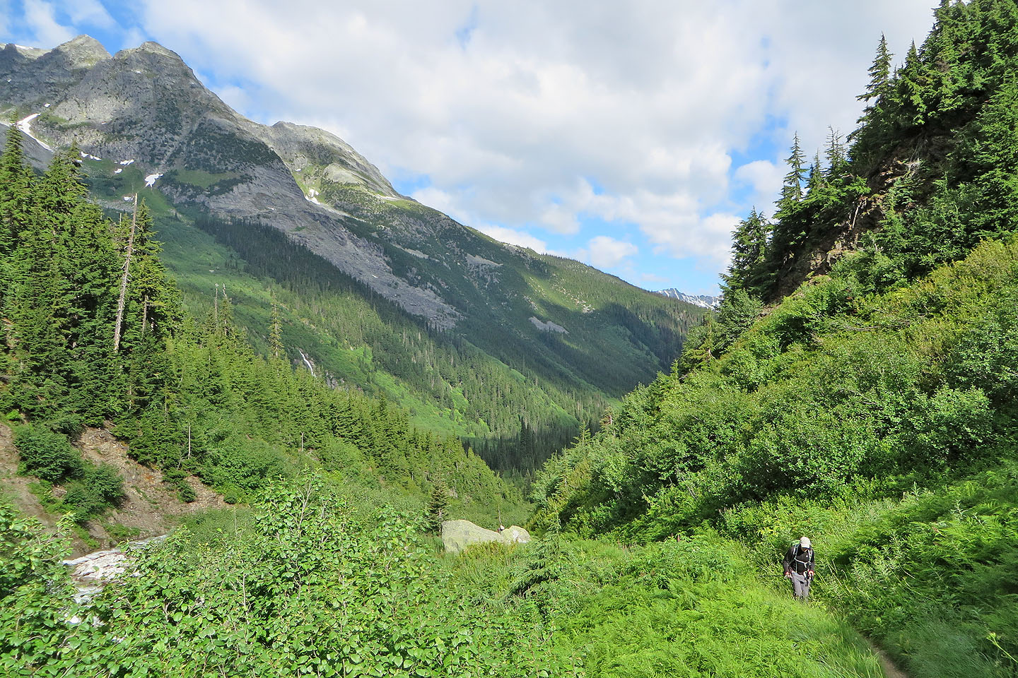
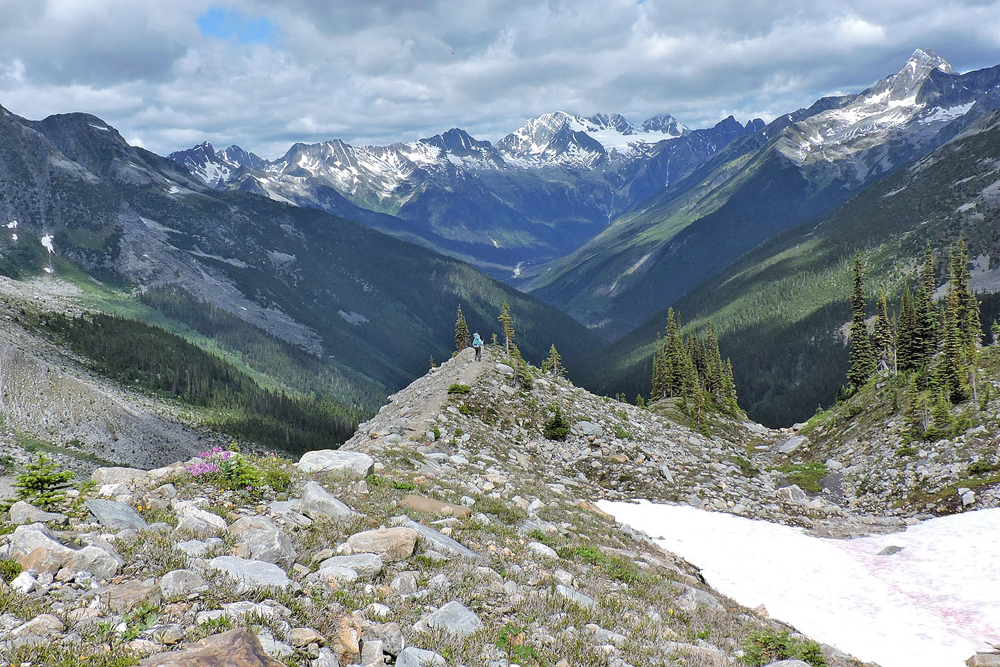
Looking back down Asulkan Valley
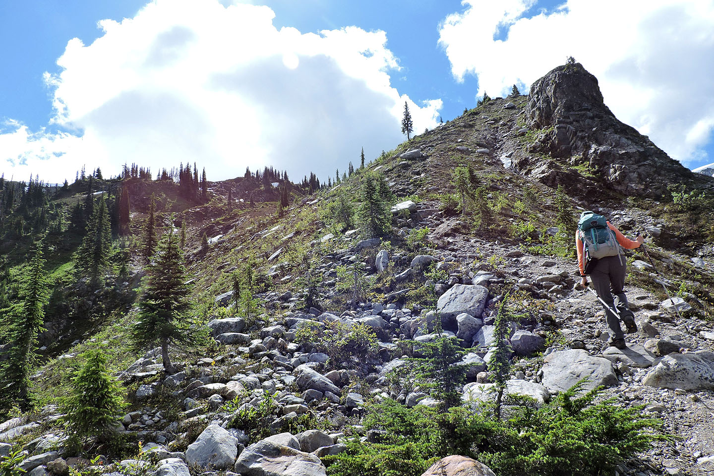
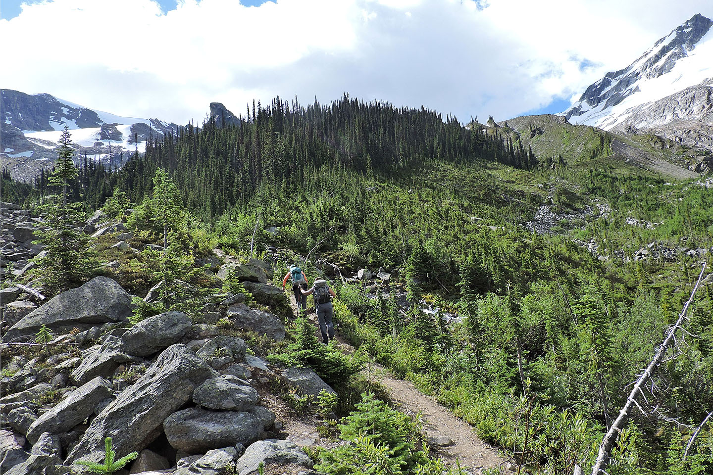
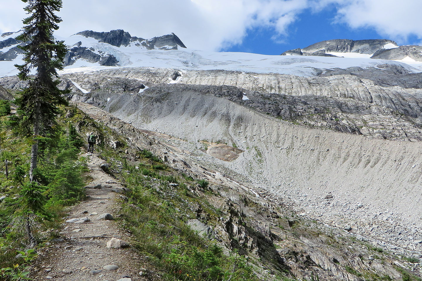
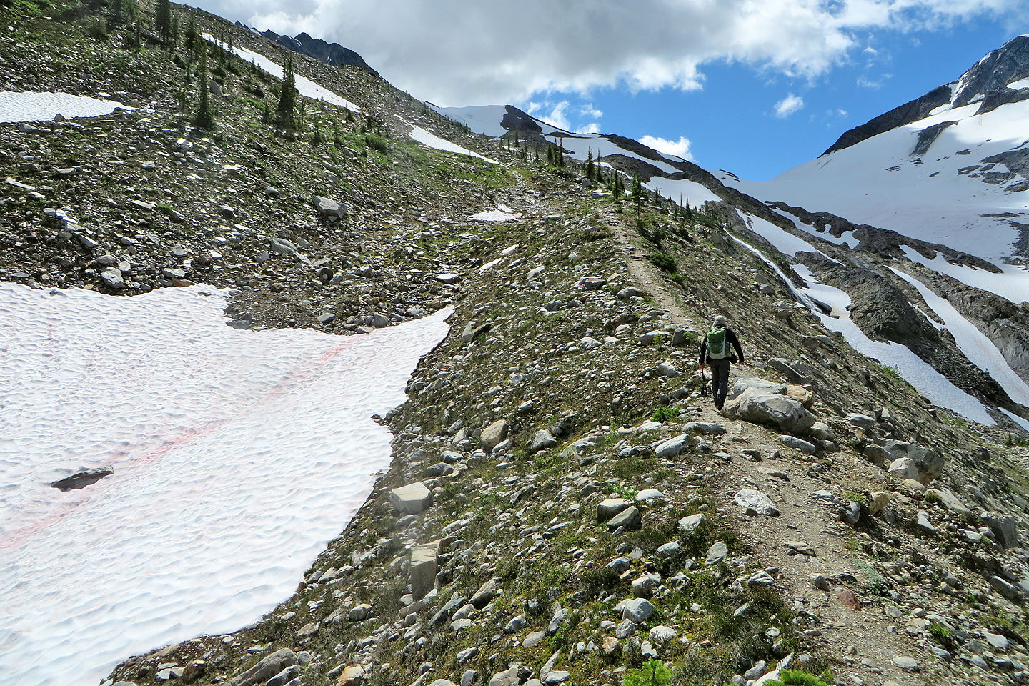
The trail continues climbing the moraine
Short switchbacks ascend a steep section
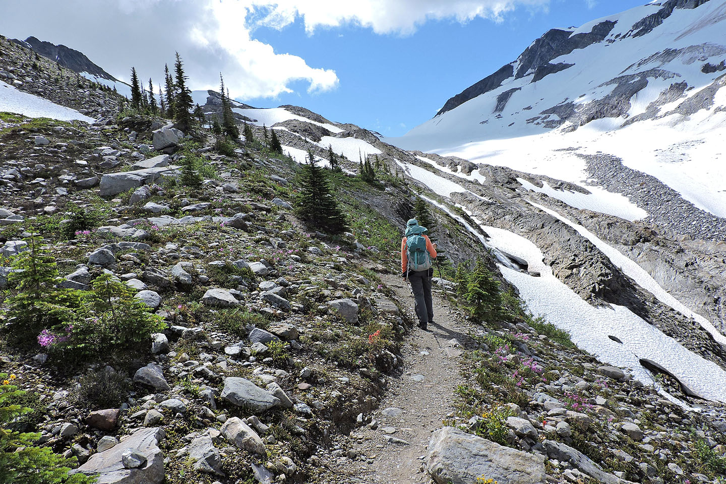
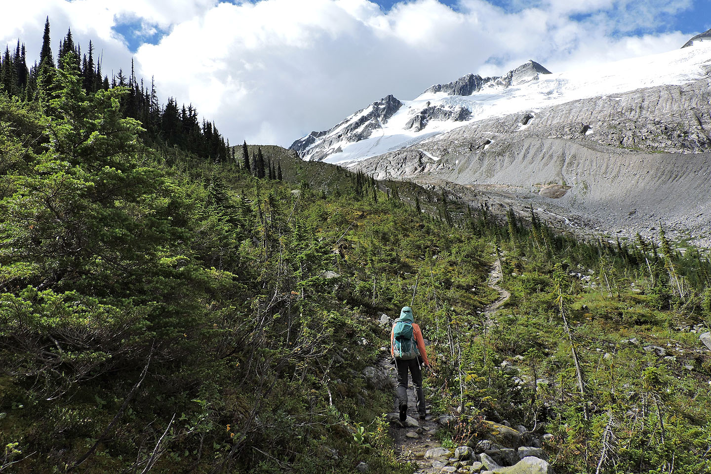
Ahead is Asulkan Pass
The trail climbs the slope on our left. The hut is only 200 m away from here.
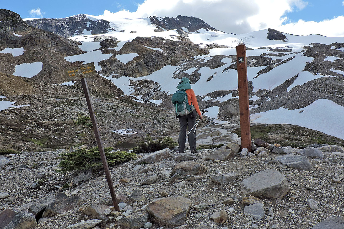
Youngs Peak towers above the End of Trail sign
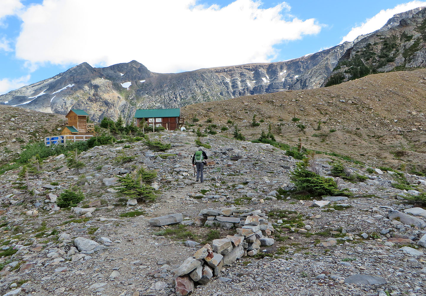
Asulkan Hut is a short distance away
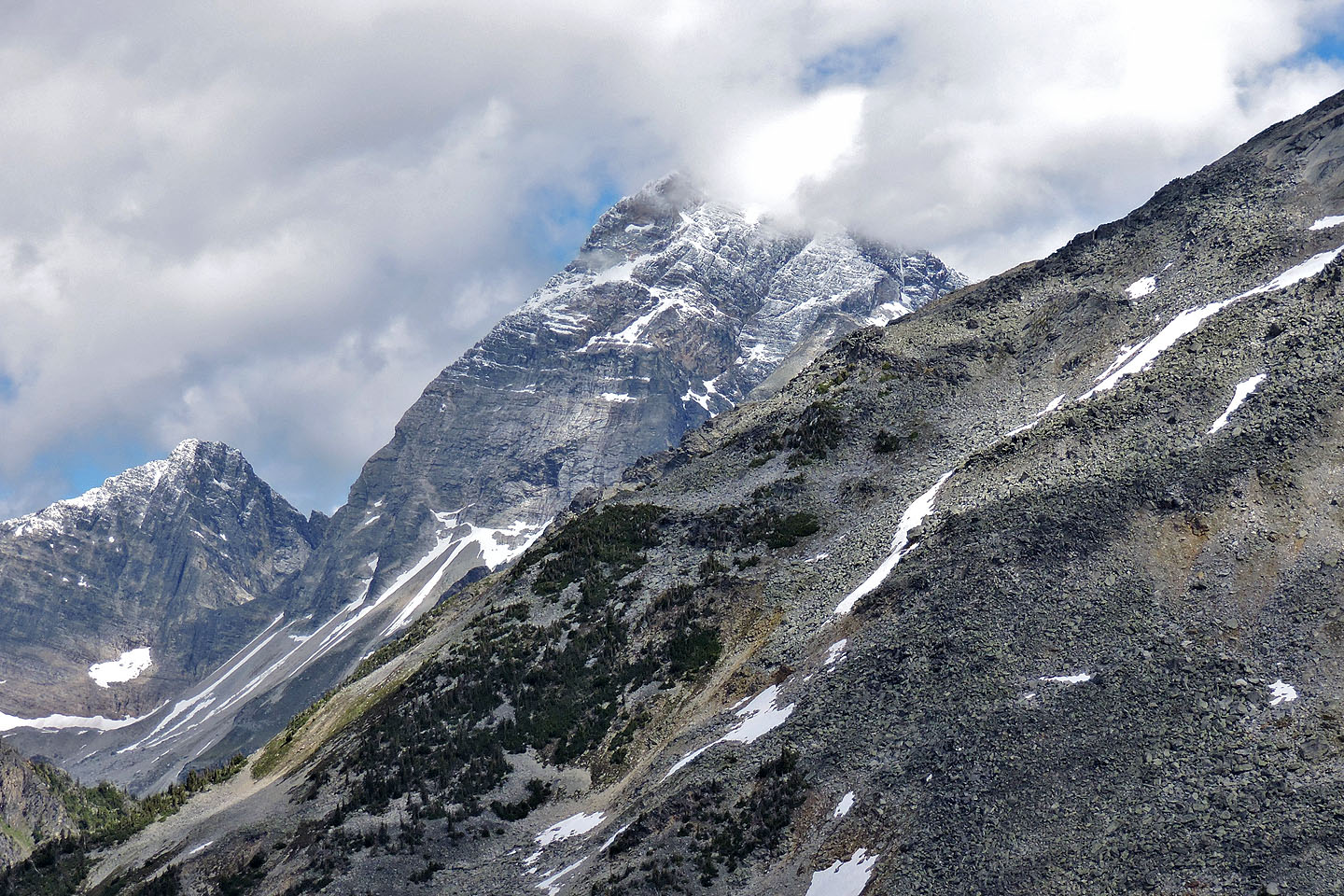
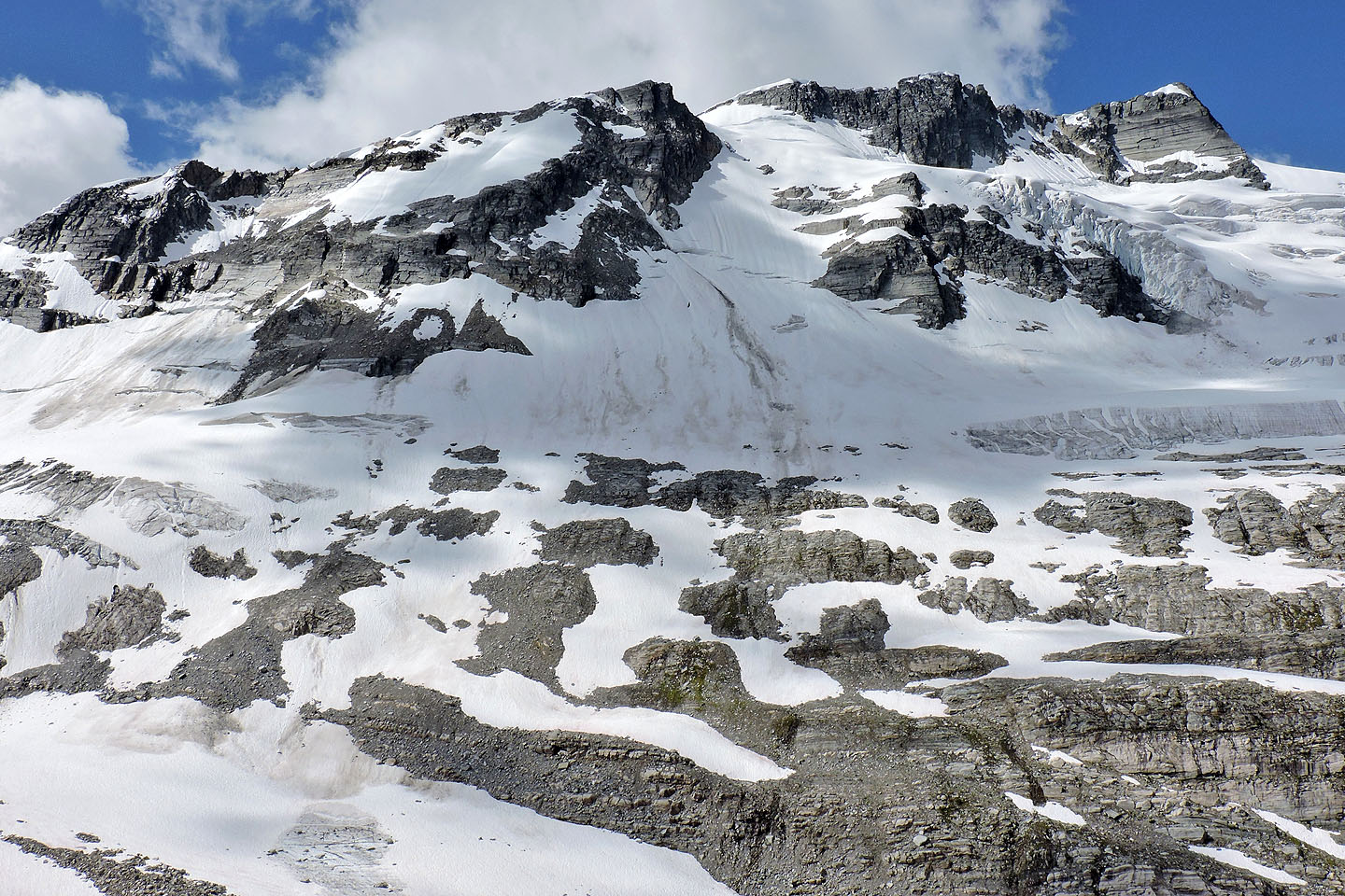
Mount Sir Donald reaches 3284 m
Avalanche Mountain and Eagle Peak. Glacier Crest trail reaches the hill in the foreground.
A close look at Leda Peak, Pullox Peak and Castor Peak
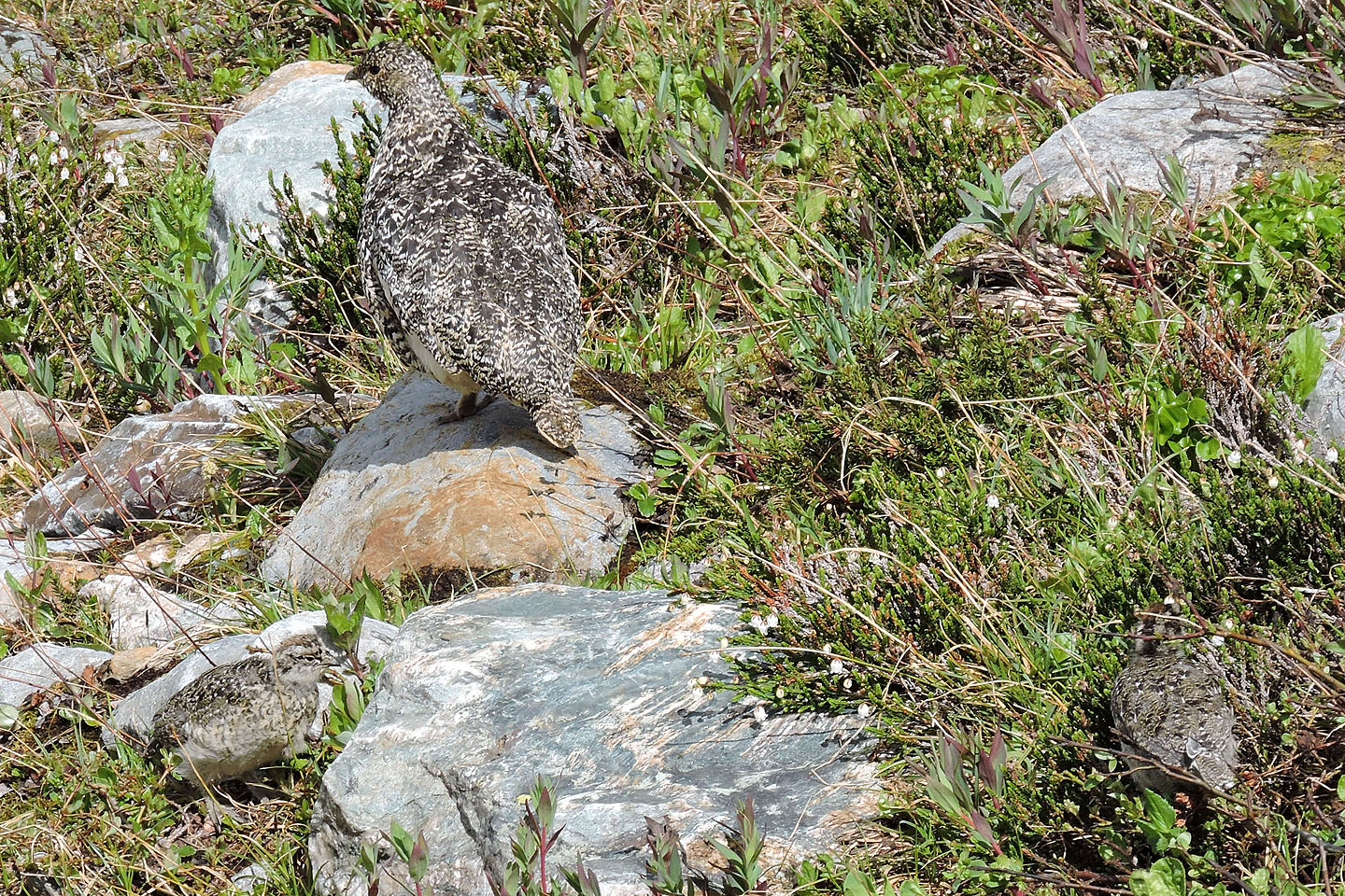
Ptarmigan hen and two chicks
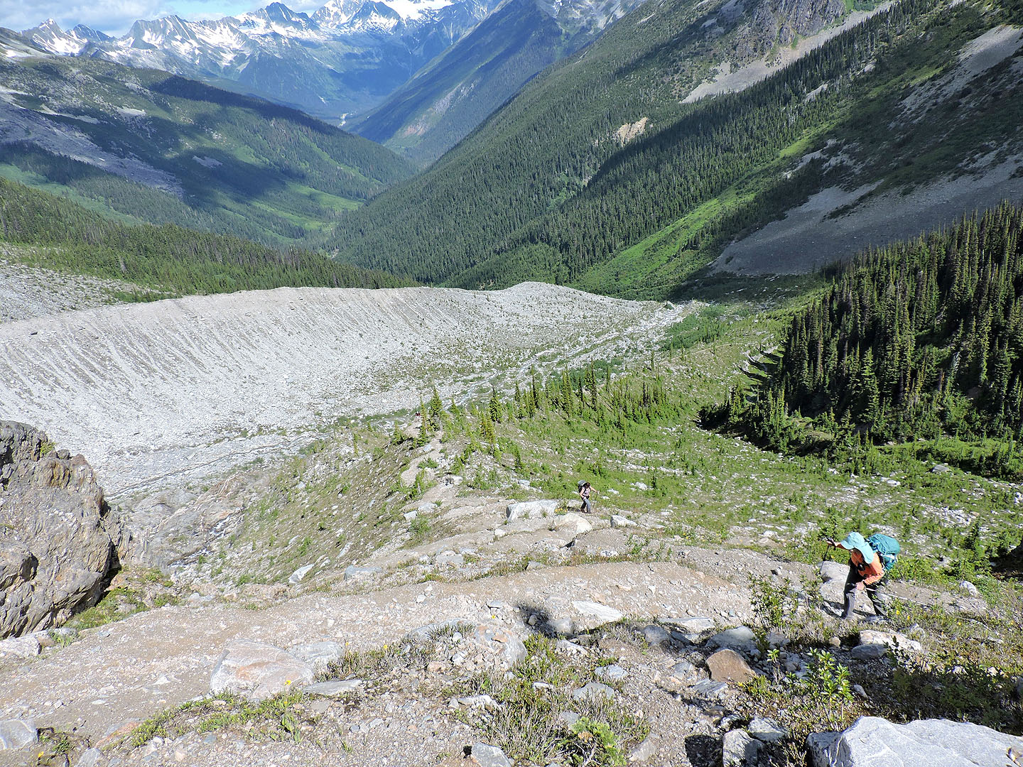
Heading back along the moraine
Back in the valley, I came across a porcupine feeding next to the trail
On the way back, I stopped at Meeting of the Waters, the confluence of two glacial creeks
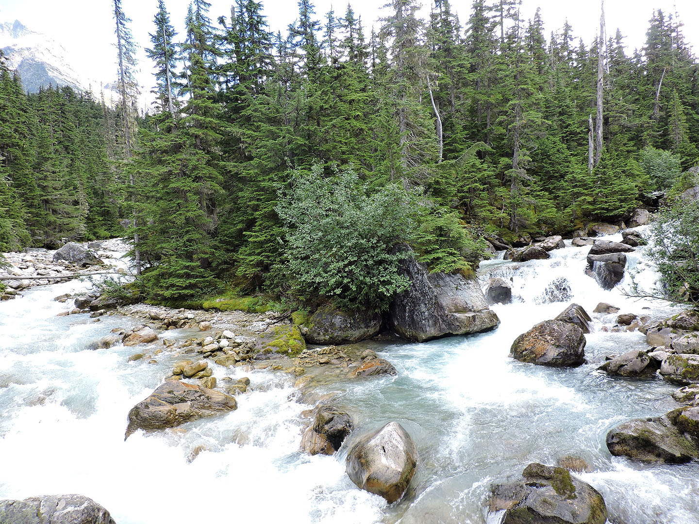
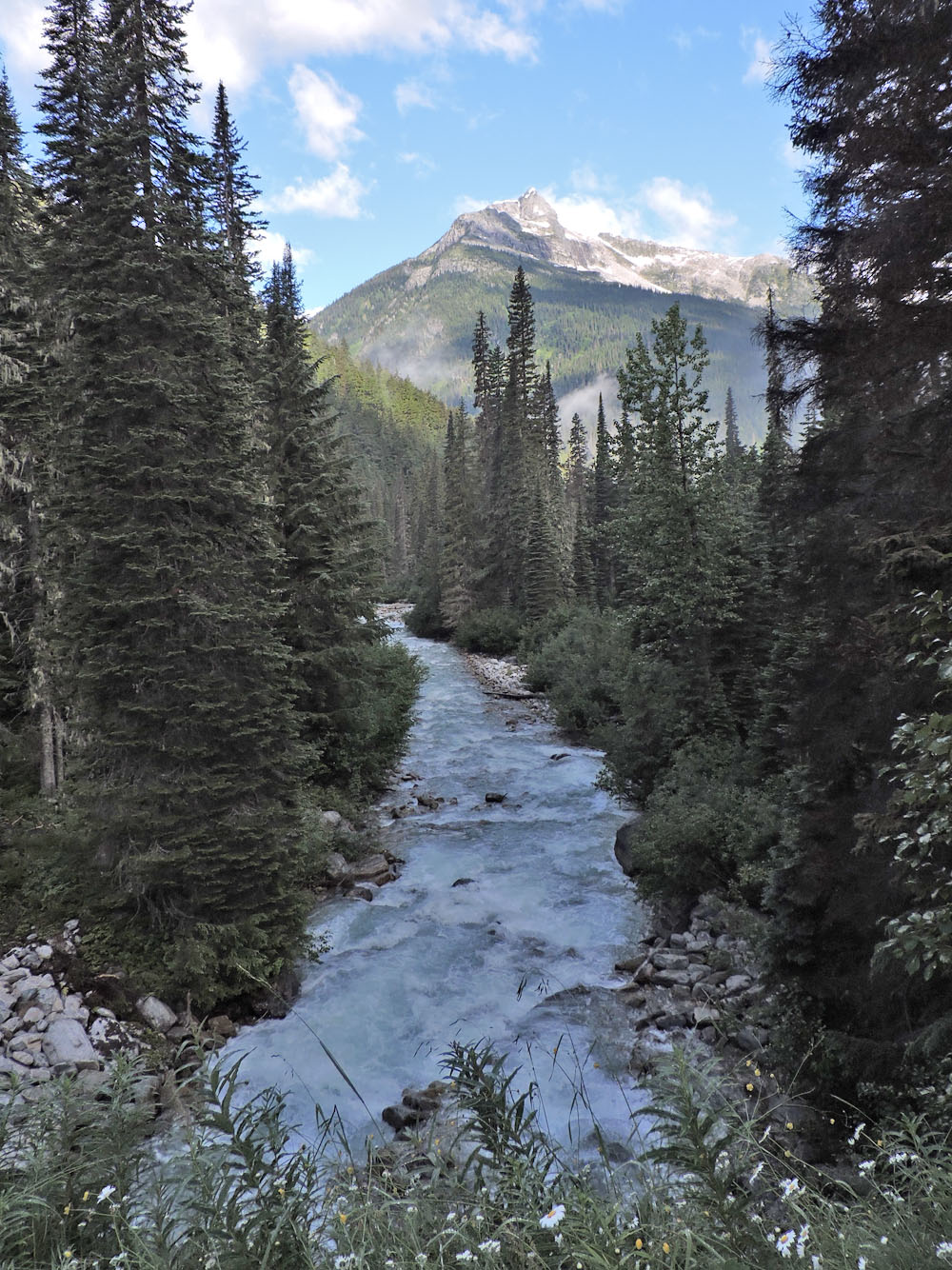
View from the bridge
82 N/06 Blaeberry, 82 N/03 Mount Wheeler