bobspirko.ca | Home | Canada Trips | US Trips | Hiking | Snowshoeing | MAP | About

Tangle Ridge
Jasper National Park, Alberta
July 25, 2003
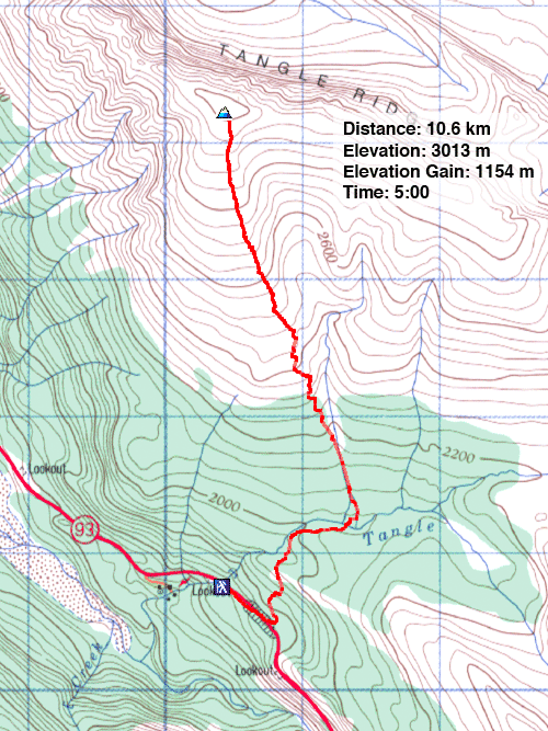
Distance: 10.6 km (6.6 mi)
Cumulative Elevation Gain: 1166 m (3825 ft)
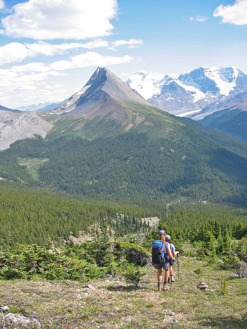
Tangle Ridge is just a hike, but the scenery is inspiring. Caroline, Dinah and I started at Tangle Falls, going up the trail to Wilcox Pass. Half an hour later, we turned left onto a drainage (look for cairns marking the exit from the trail). We followed a side trail through the trees as we climbed above the left side of the drainage. After reaching scree slopes, we continued to the summit.
I couldn't take a summit panorama because of buildings. Nonetheless, it's a ringside seat for viewing glaciated peaks.
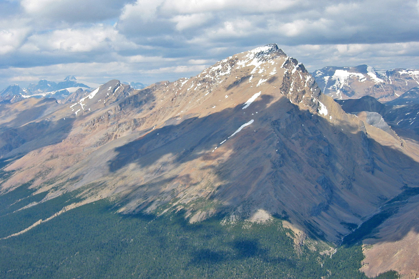
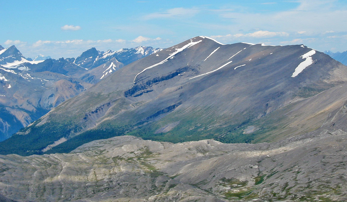 Tangle Ridge from Mount Nigel
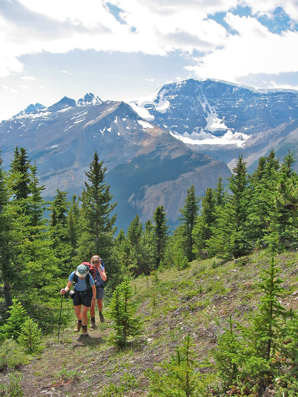
Emerging from the trees
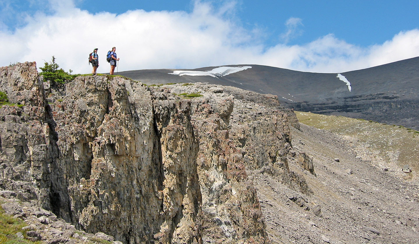
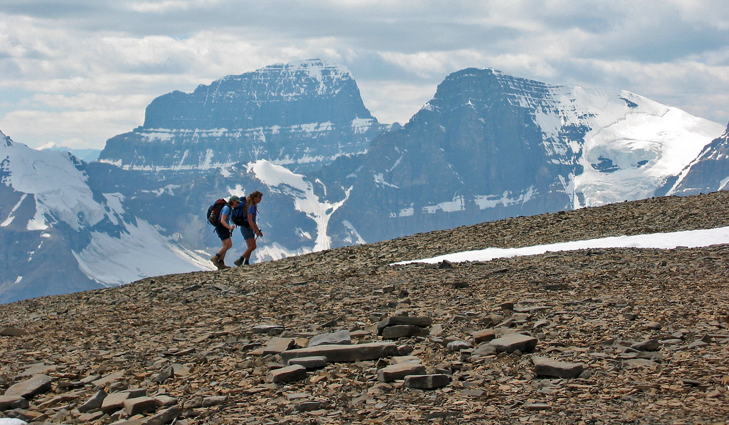
After climbing out of the gully, it's a slog to the summit (centre)
which looks awfully gentle!
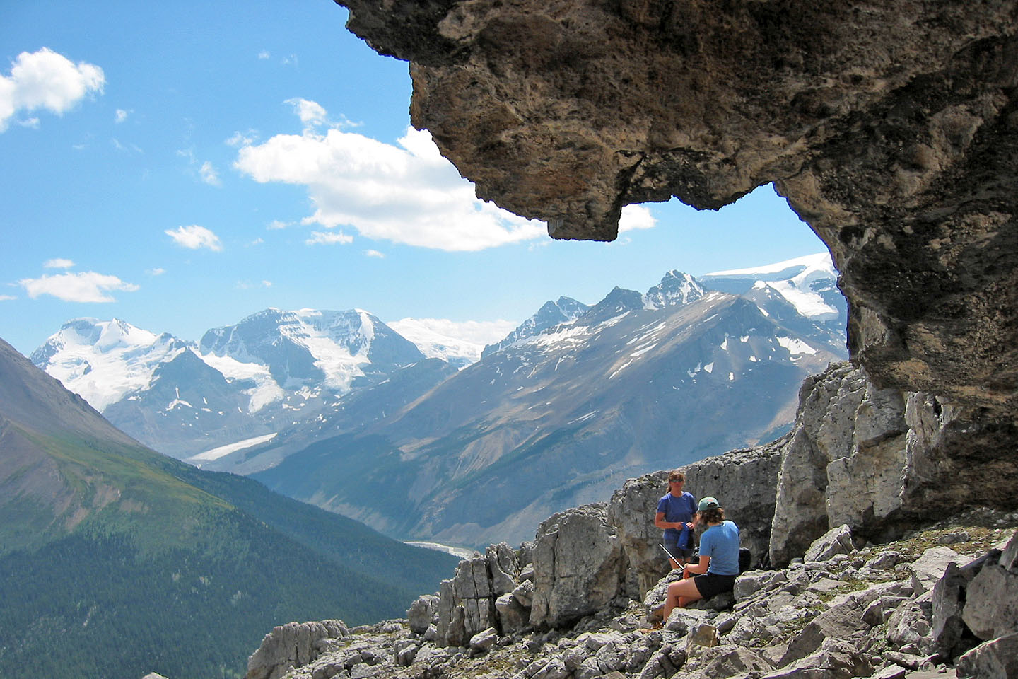
Taking a break
The grade is rather gentle!
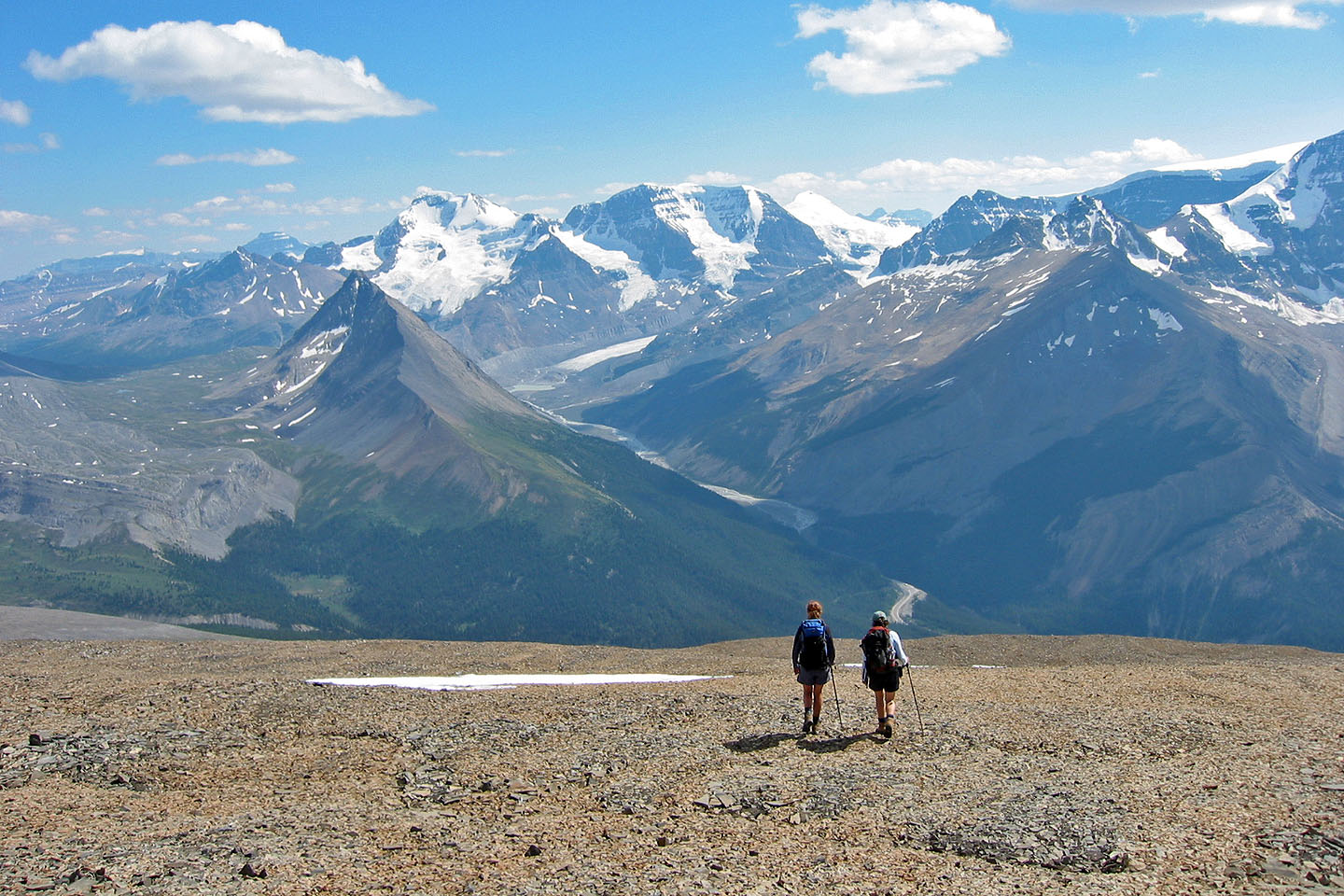
Sunwapta Peak seen from the summit
On the way back with Mount Wilcox in view
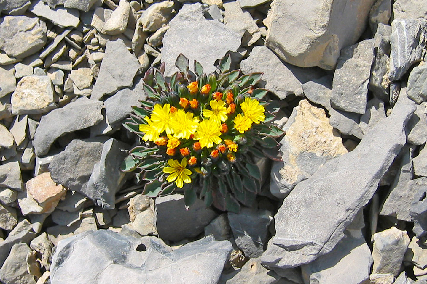 Alpine hawksbeard
Heading back to the creek
83 C/6 Sunwapta